Trails near Davos
86 hikes starting within 15 km, nearest first.
Nearest first, page 2 of 2
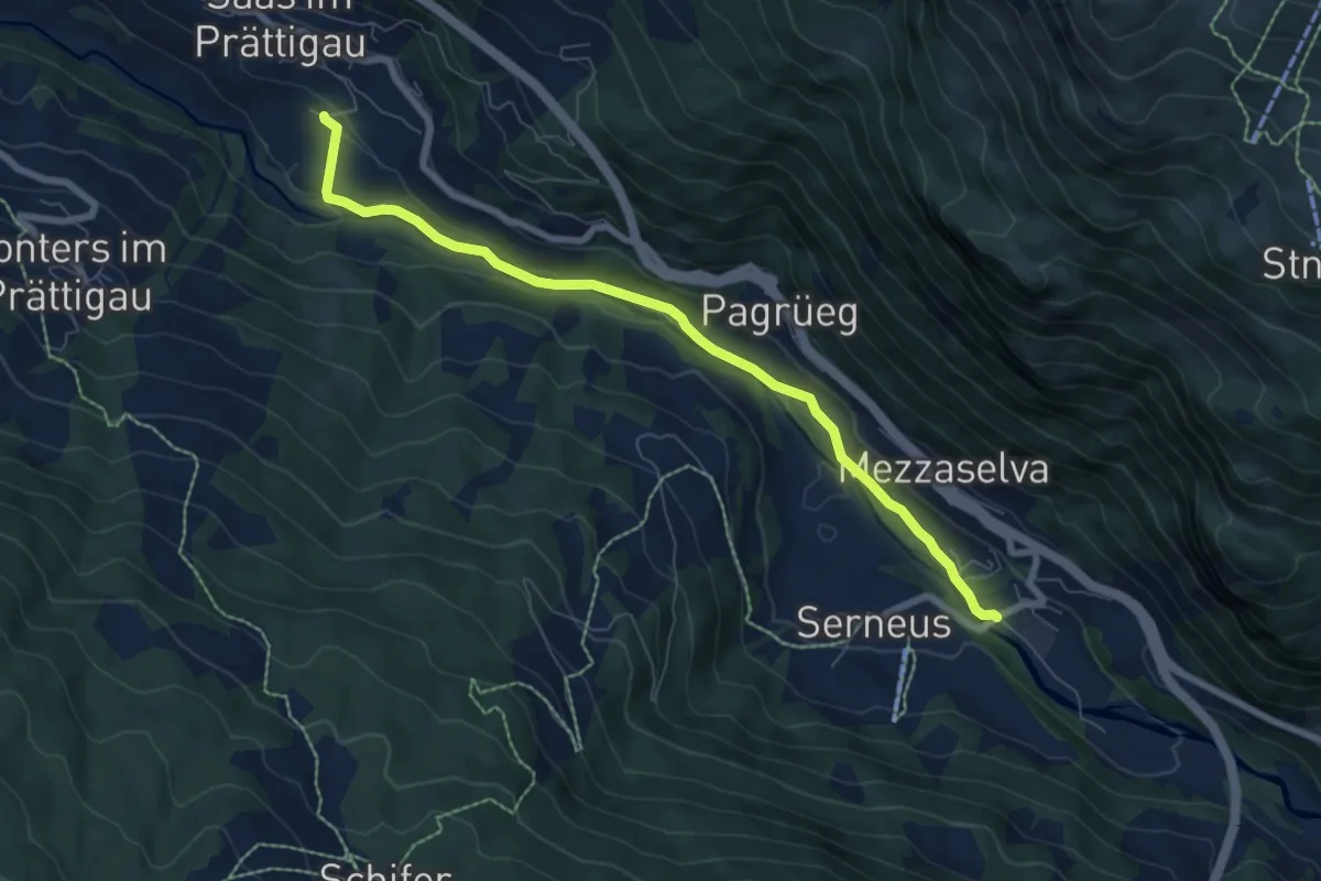
Easy · Trail
Walki – Saas Station
7.2 km · ↑ 152 m · 2 h 2 min · 11 km away
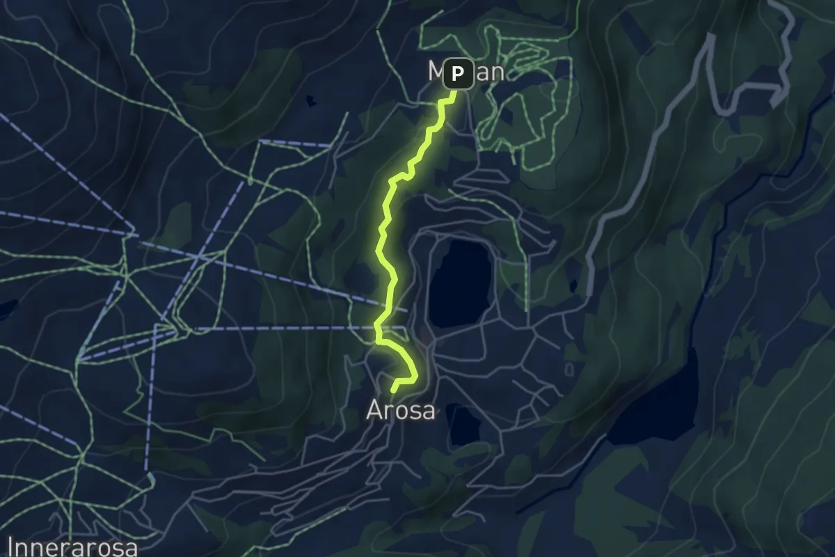
Easy · Trail
Eichhörnliweg
3.6 km · ↑ 144 m · 1 h 9 min · 11 km away
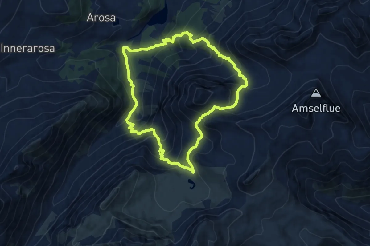
Demanding · Trail
Schiesshorn-Weg
10.2 km · ↑ 844 m · 4 h 22 min · 11 km away
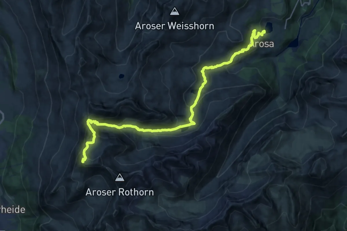
Demanding · Summit
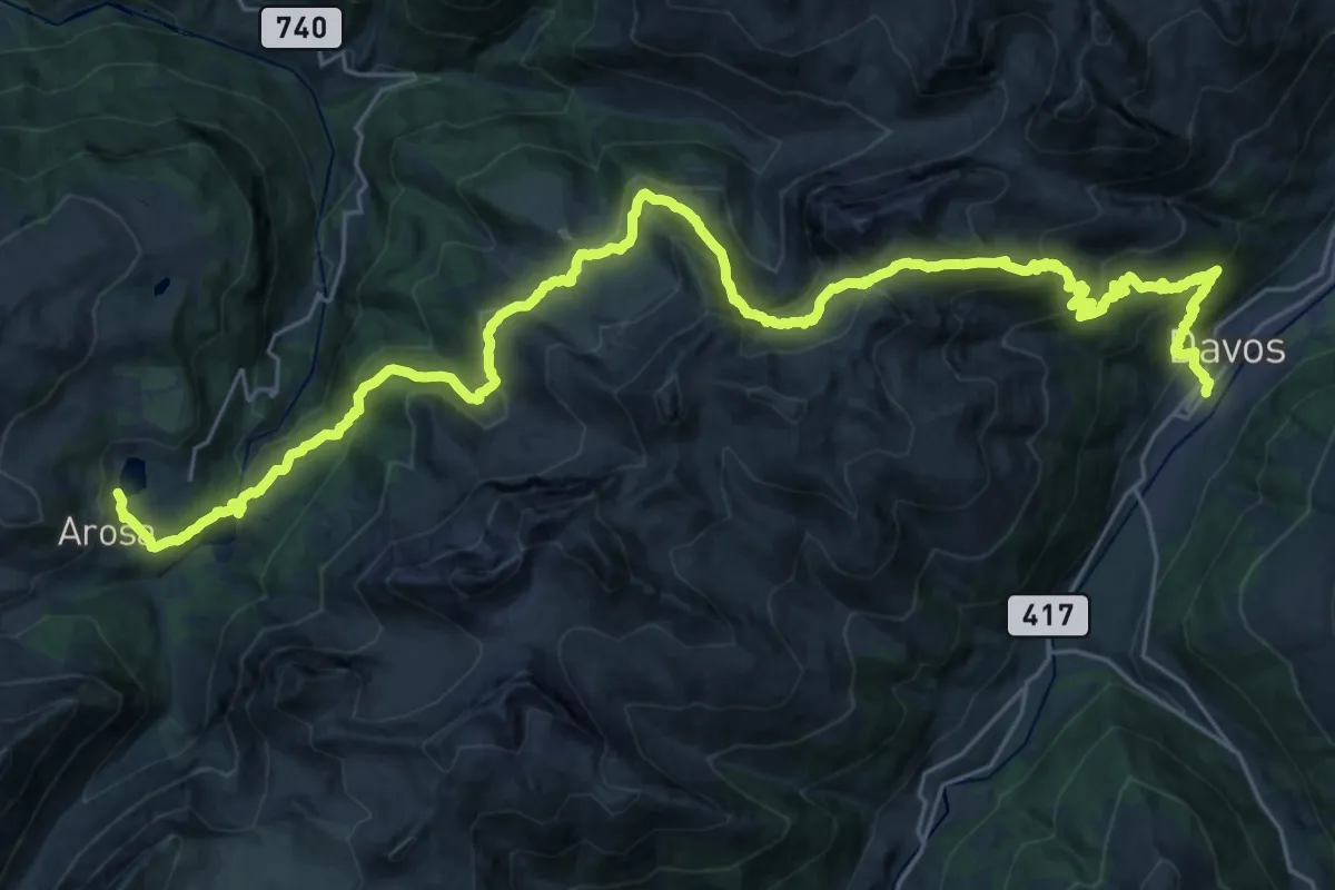
Mittelbünden-Panoramaweg Stage 1
24.1 km · ↑ 1269 m · 8 h 26 min · 11 km away
Demanding · Trail
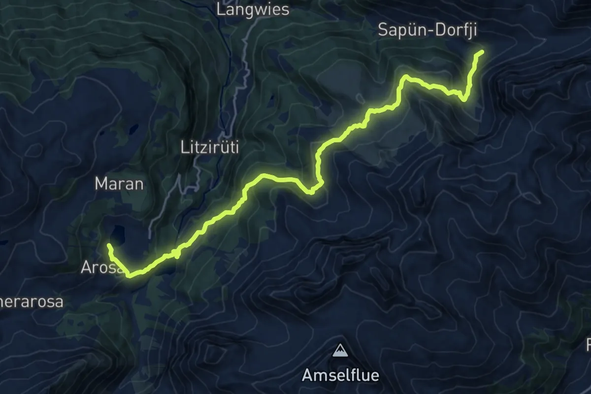
Mittelbünden-Panoramaweg Stage 2
19.2 km · ↑ 1019 m · 7 h 6 min · 11 km away
Demanding · Summit
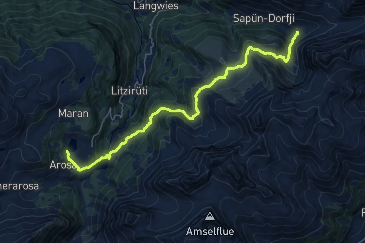
Walserweg - Etappe 16
21.1 km · ↑ 1094 m · 7 h 21 min · 11 km away
Demanding · Summit
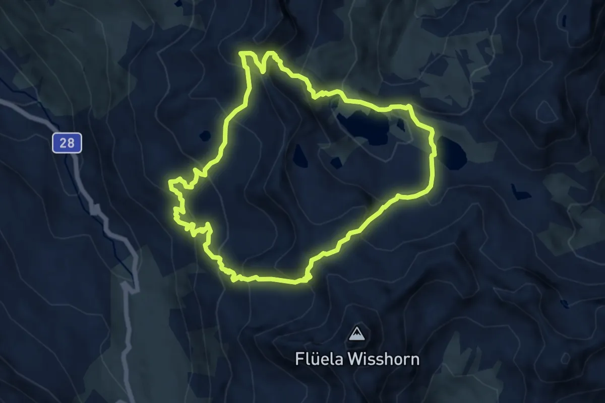
Schanfigger Höhenweg - Etappe 1
21.1 km · ↑ 1072 m · 7 h 18 min · 11 km away
Demanding · Trail
Jöriseen Rundweg
8.7 km · ↑ 736 m · 3 h 46 min · 11 km away
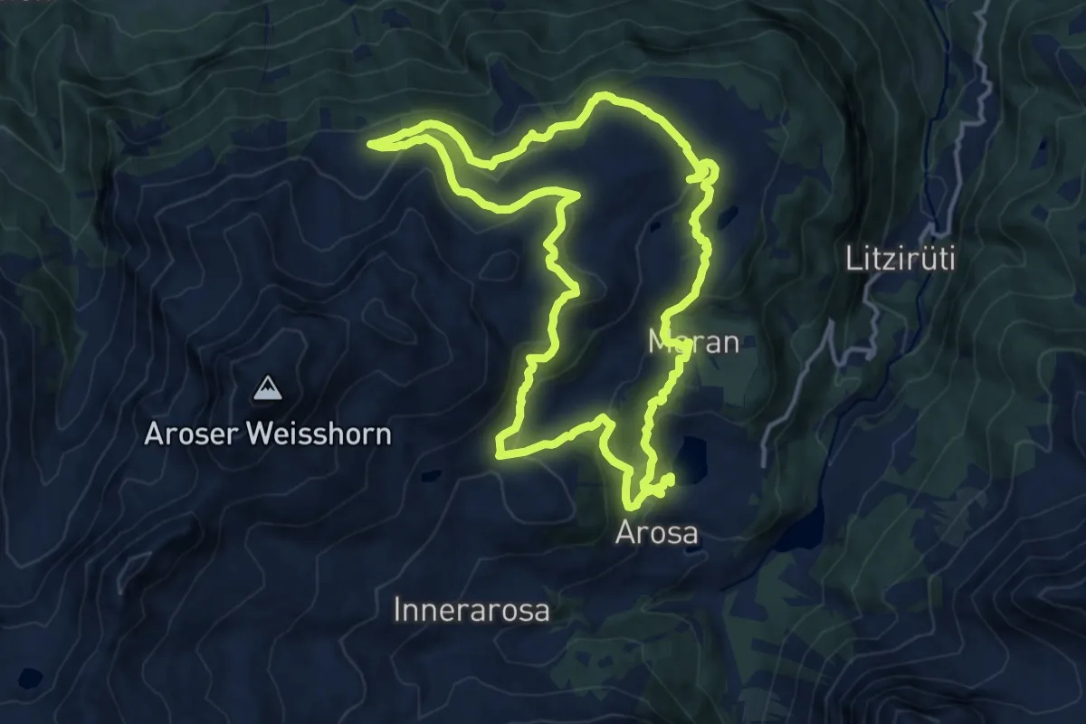
Medium · Summit
Arosa-Ochsenalp Rundtour
14.6 km · ↑ 581 m · 4 h 57 min · 11 km away
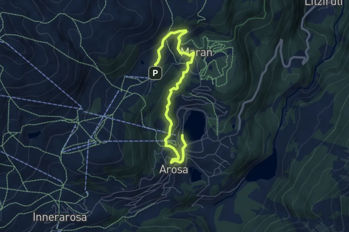
Easy · Trail
Prätschli-Eichhörnliweg (hindernisfreier Wanderweg)
7.2 km · ↑ 307 m · 2 h 22 min · 11 km away
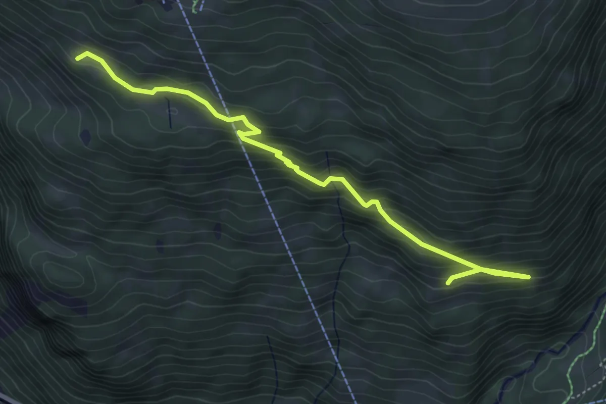
Medium · Summit
Station Madrisa Saaser Alp – Flue
5.4 km · ↑ 350 m · 2 h 2 min · 11 km away
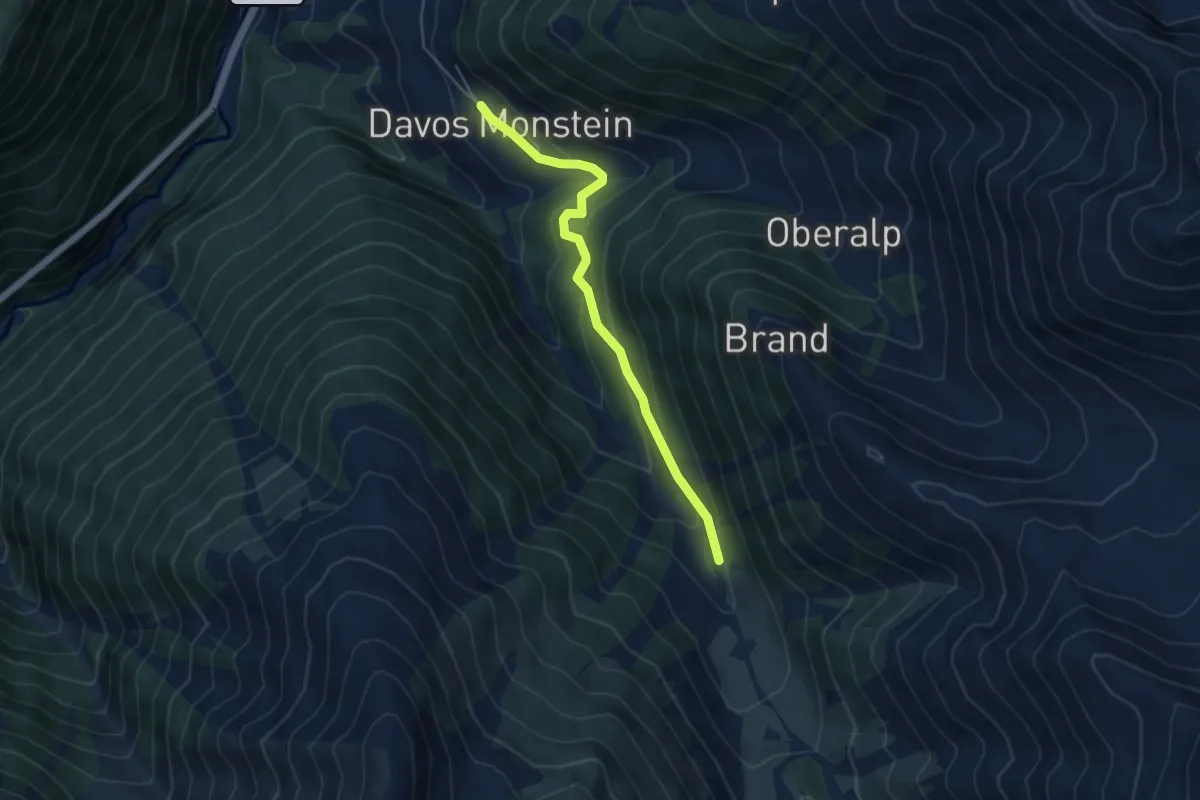
Easy · Trail
Monstein - Laubenalp
4.6 km · ↑ 248 m · 1 h 38 min · 11 km away
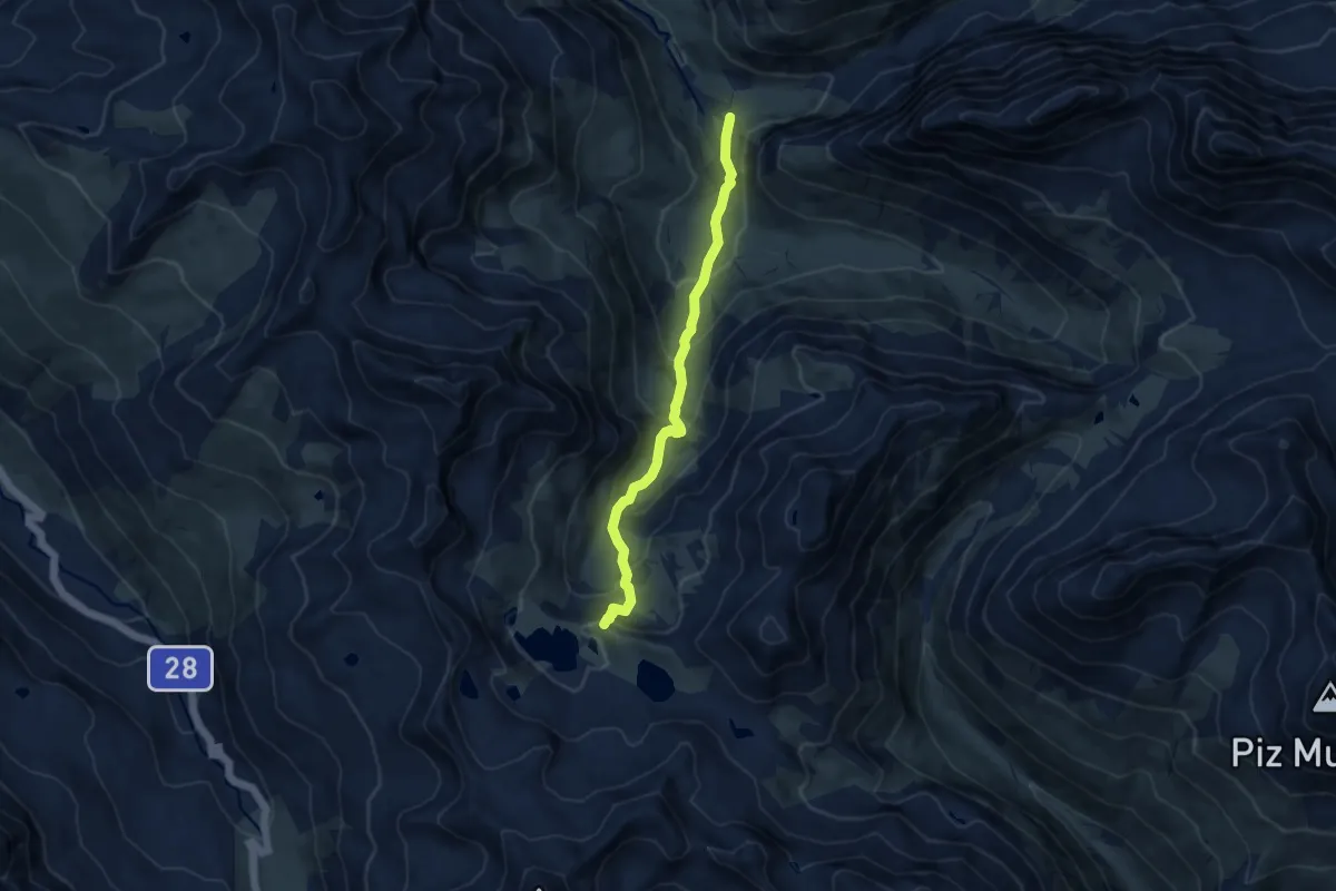
Medium · Trail
Berghaus Vereina – Joriseen
8.4 km · ↑ 592 m · 3 h 17 min · 11 km away
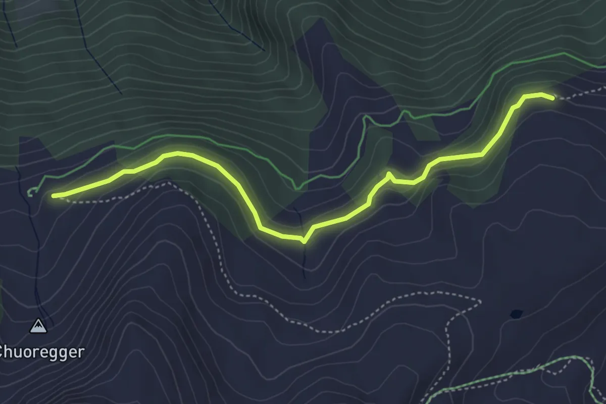
Easy · Trail
Rot Tritt – Ochsenalp
4.6 km · ↑ 204 m · 1 h 32 min · 12 km away
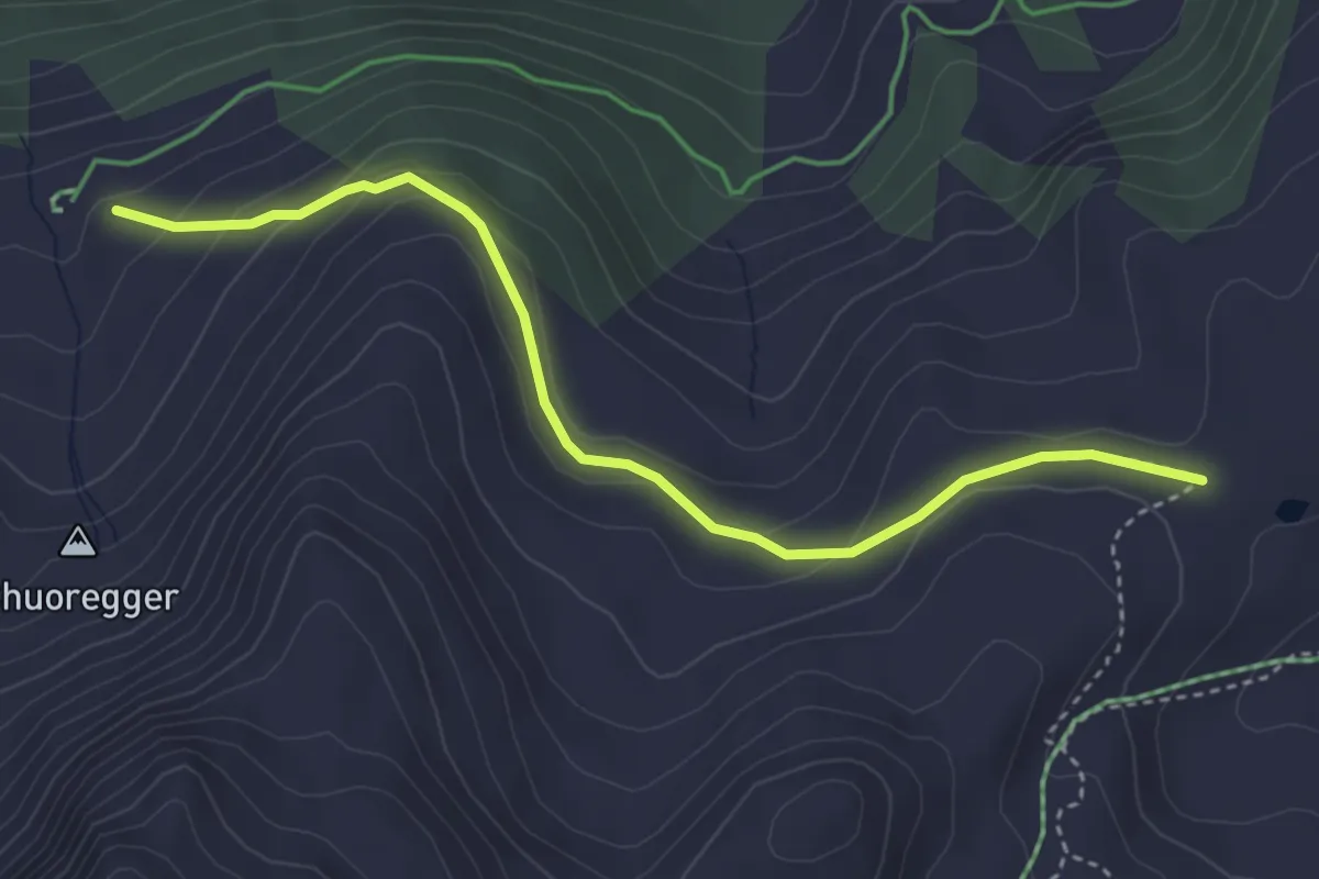
Easy · Trail
Scheidegg – Ochsenalp
3.9 km · ↑ 159 m · 1 h 16 min · 12 km away
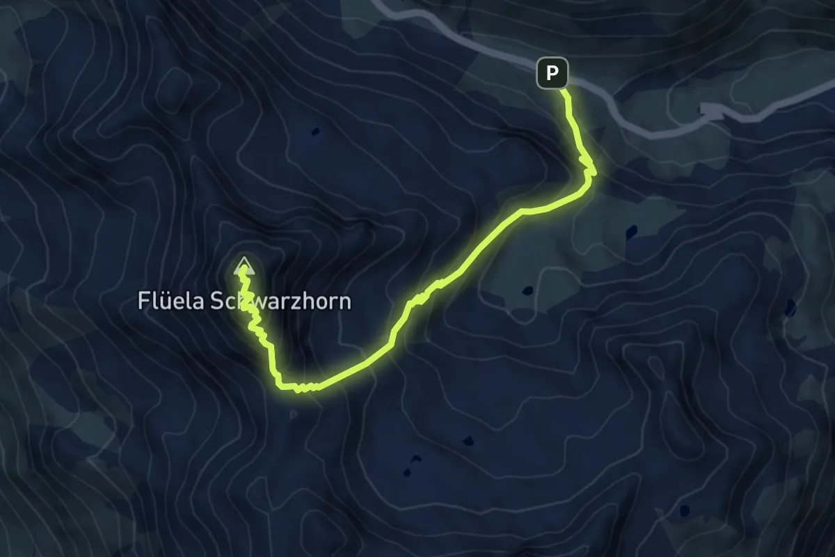
Medium · Summit
Flüela-Schwarzhorn-Weg
3.7 km · ↑ 743 m · 2 h 10 min · 12 km away
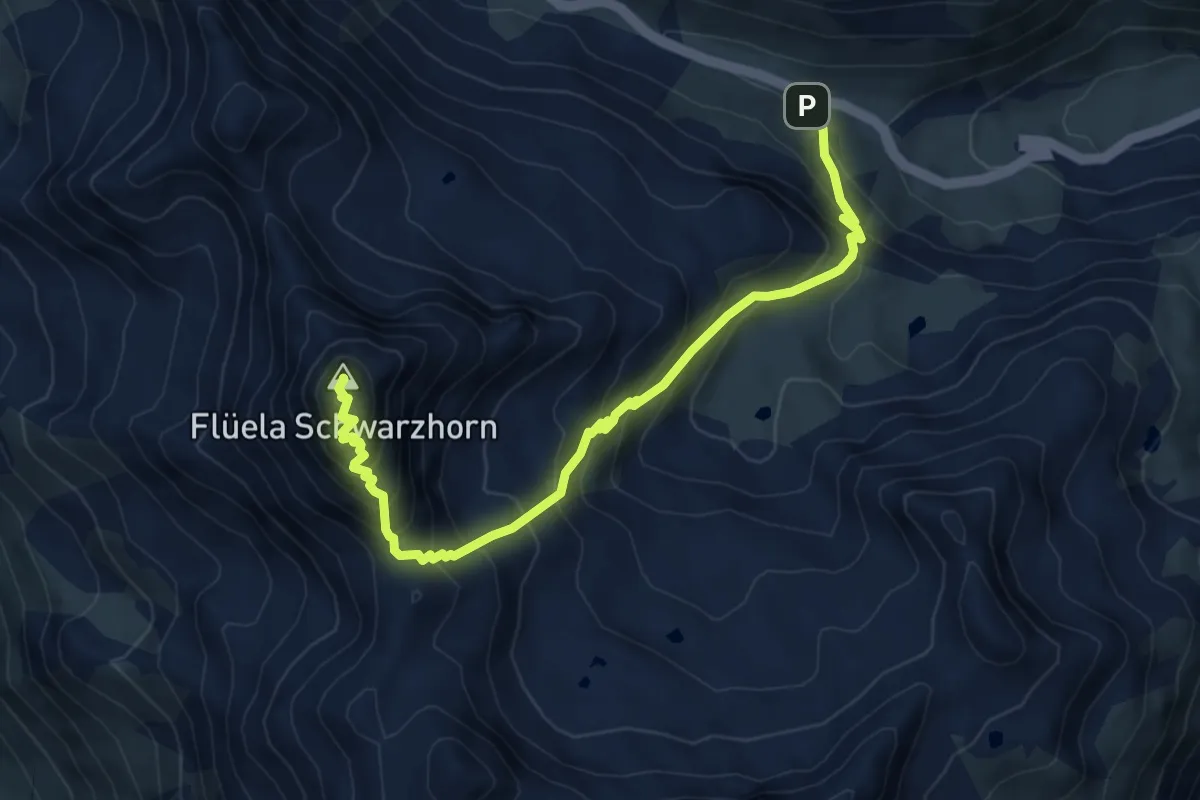
Medium · Summit
Flüela-Schwarzhorn
7.3 km · ↑ 748 m · 3 h 21 min · 12 km away
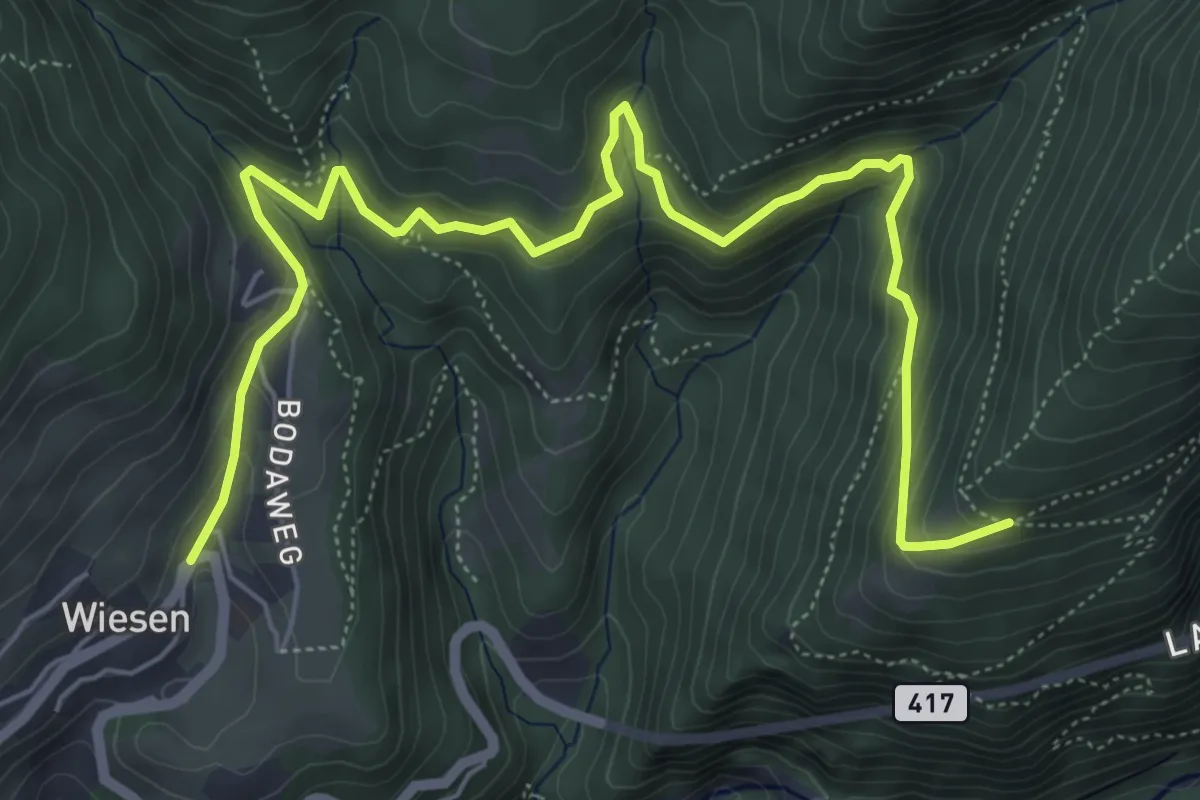
Medium · Trail
Wiesen - Steig
7.6 km · ↑ 460 m · 2 h 47 min · 12 km away
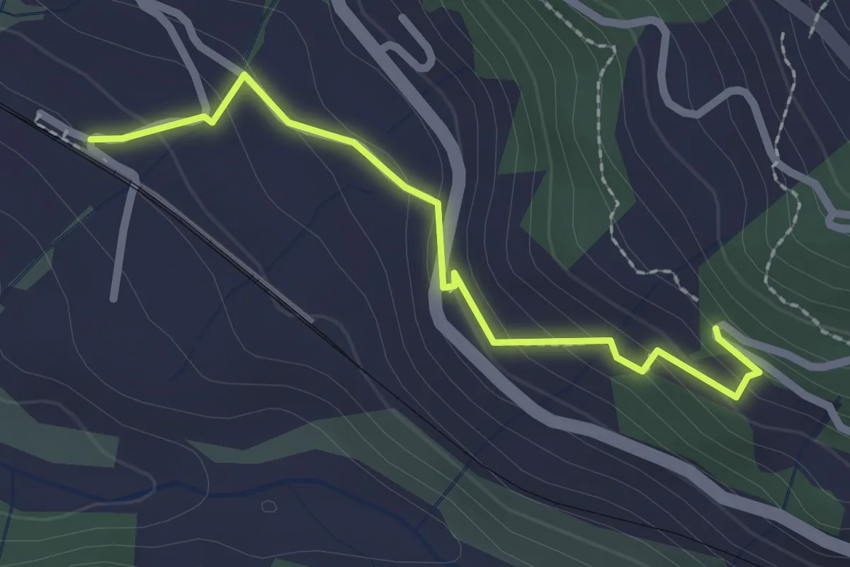
Easy · Trail
Saas Station – Geissegga Wiesli
2.2 km · ↑ 130 m · 48 min · 12 km away
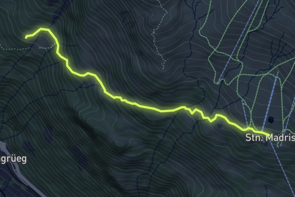
Medium · Trail
Ragoz – Station Madrisa Saaser Alp
5.5 km · ↑ 421 m · 2 h 12 min · 12 km away
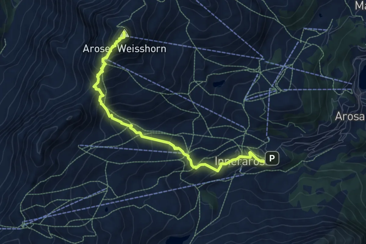
Demanding · Summit
Aroser-Weisshorn-Weg
8.9 km · ↑ 808 m · 3 h 51 min · 12 km away
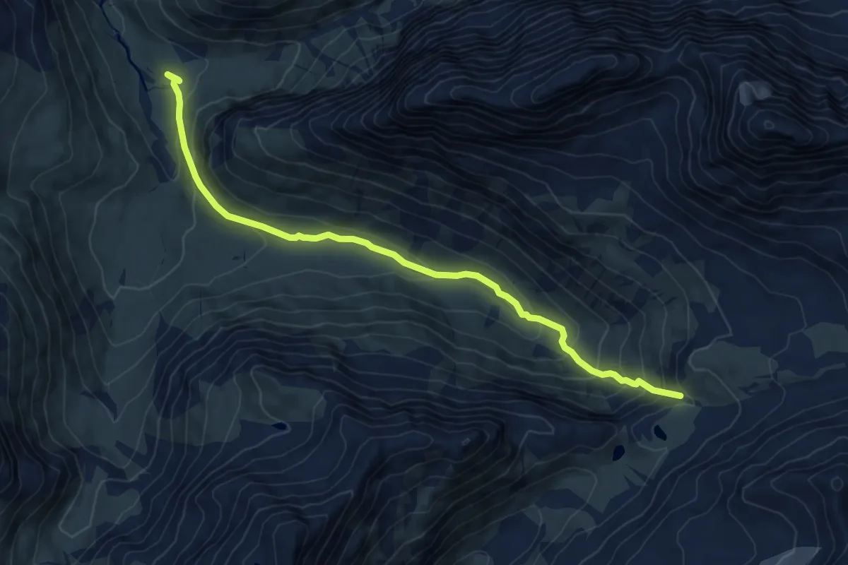
Medium · Trail
Berghaus Vereina – Flesspass
8.3 km · ↑ 524 m · 3 h 5 min · 12 km away
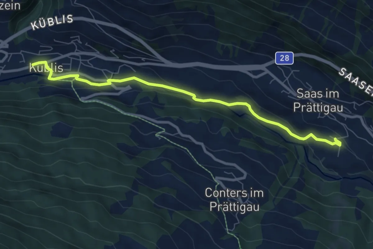
Easy · Trail
Saas Station – Küblis
7.3 km · ↑ 157 m · 2 h 4 min · 12 km away
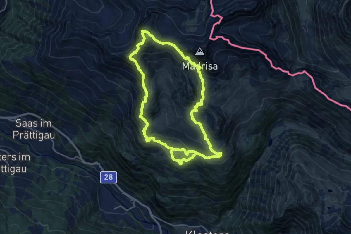
Demanding · Summit
Madrisa Saaser Alp – Rätschenhorn
14.0 km · ↑ 983 m · 5 h 40 min · 13 km away
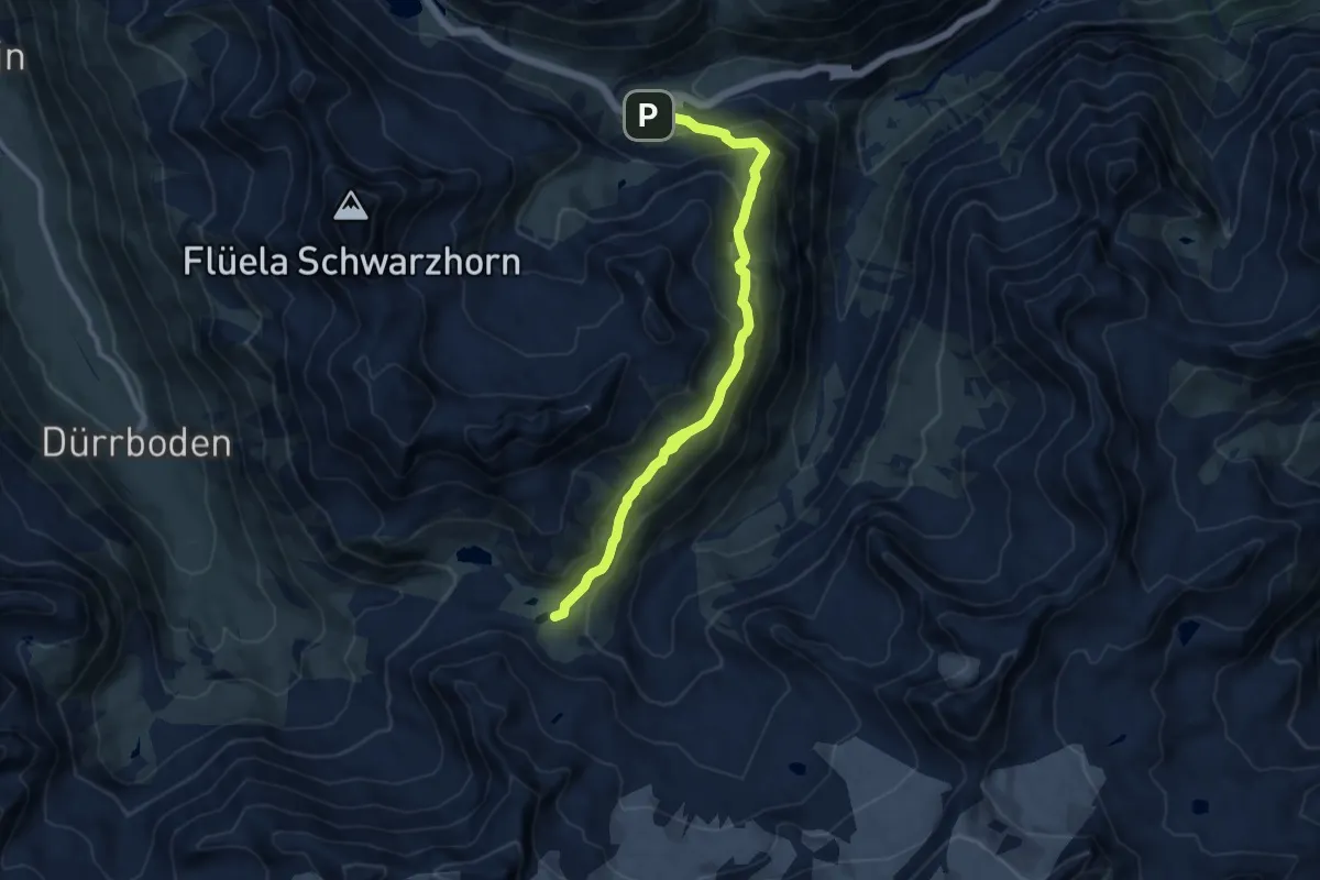
Demanding · Cabin
Fluellapass – Grialetsch Hutte
10.4 km · ↑ 597 m · 3 h 45 min · 13 km away
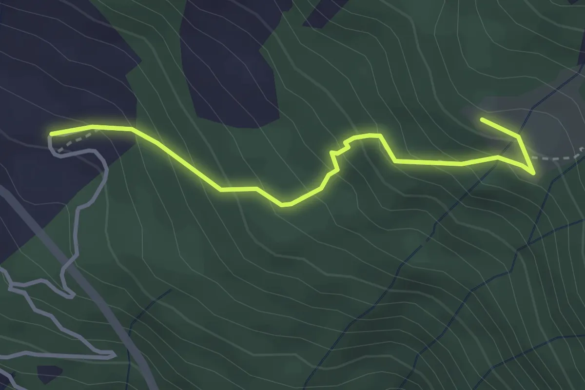
Easy · Trail
Flersch – Ragoz
3.0 km · ↑ 292 m · 1 h 21 min · 13 km away
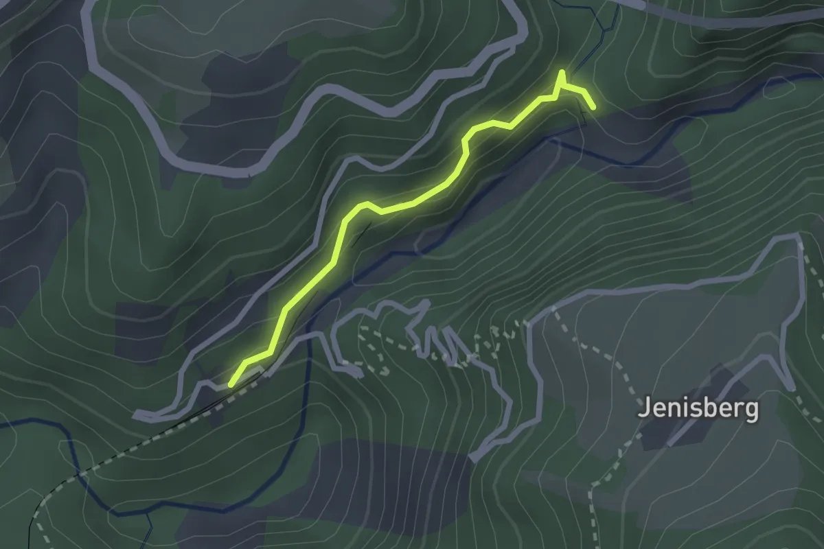
Easy · Trail
Station Wiesen – Bärentritt
2.0 km · ↑ 164 m · 49 min · 13 km away
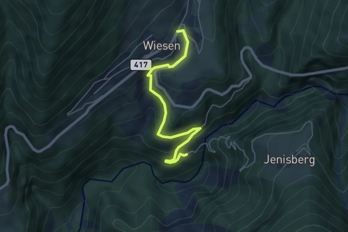
Easy · Trail
Stat. Wiesen - Wiesen
4.3 km · ↑ 244 m · 1 h 33 min · 13 km away
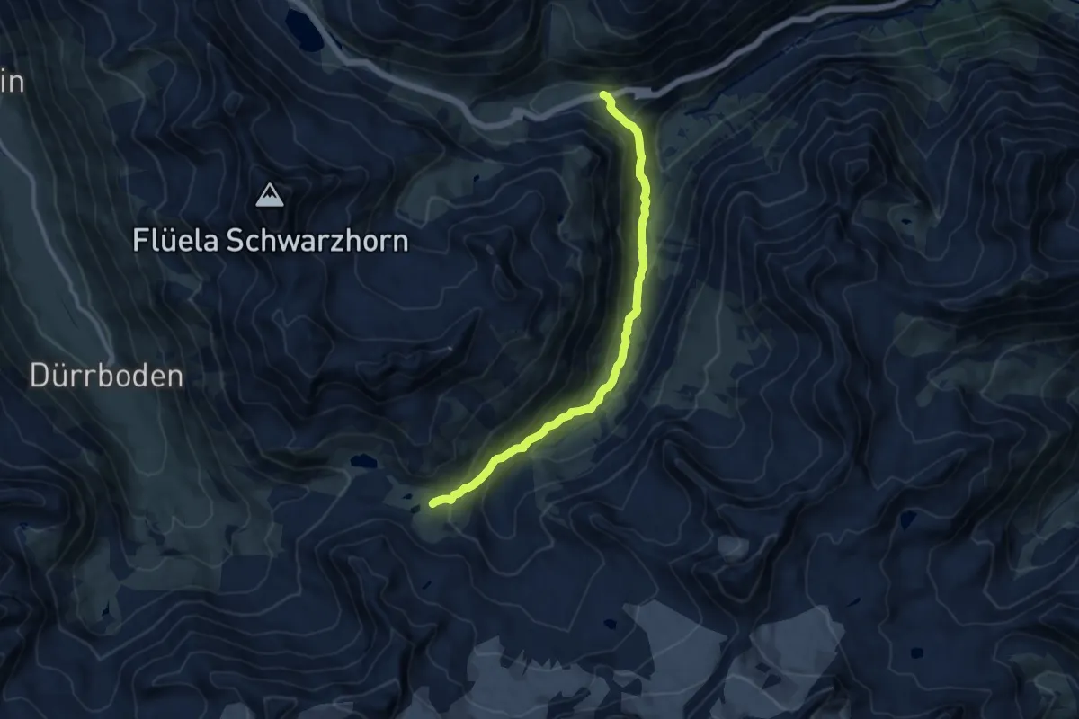
Medium · Cabin
Chantsura – Grialetsch Hutte
10.1 km · ↑ 653 m · 3 h 48 min · 13 km away
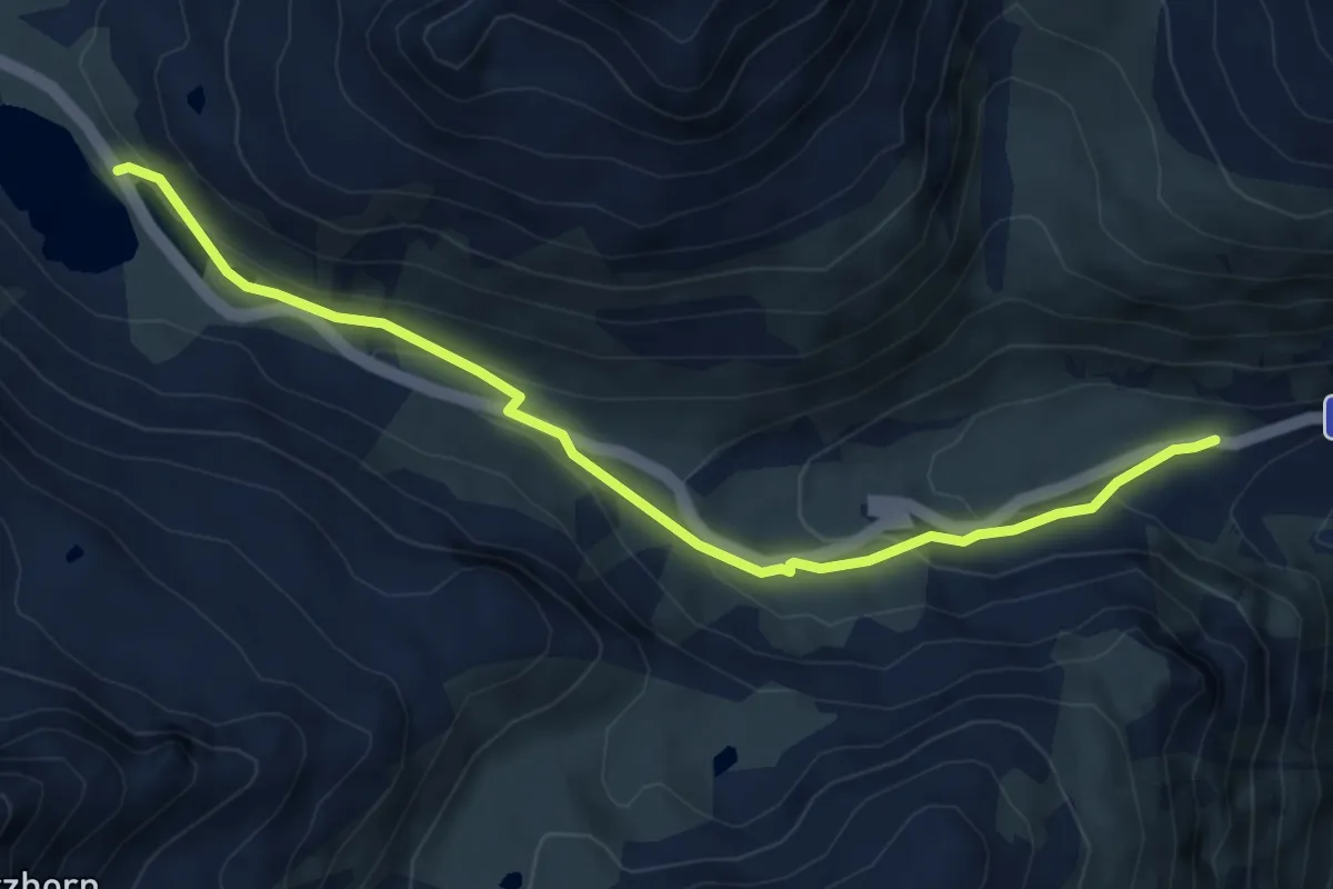
Medium · Trail
Flüela-Chant Sura
6.2 km · ↑ 221 m · 1 h 57 min · 13 km away
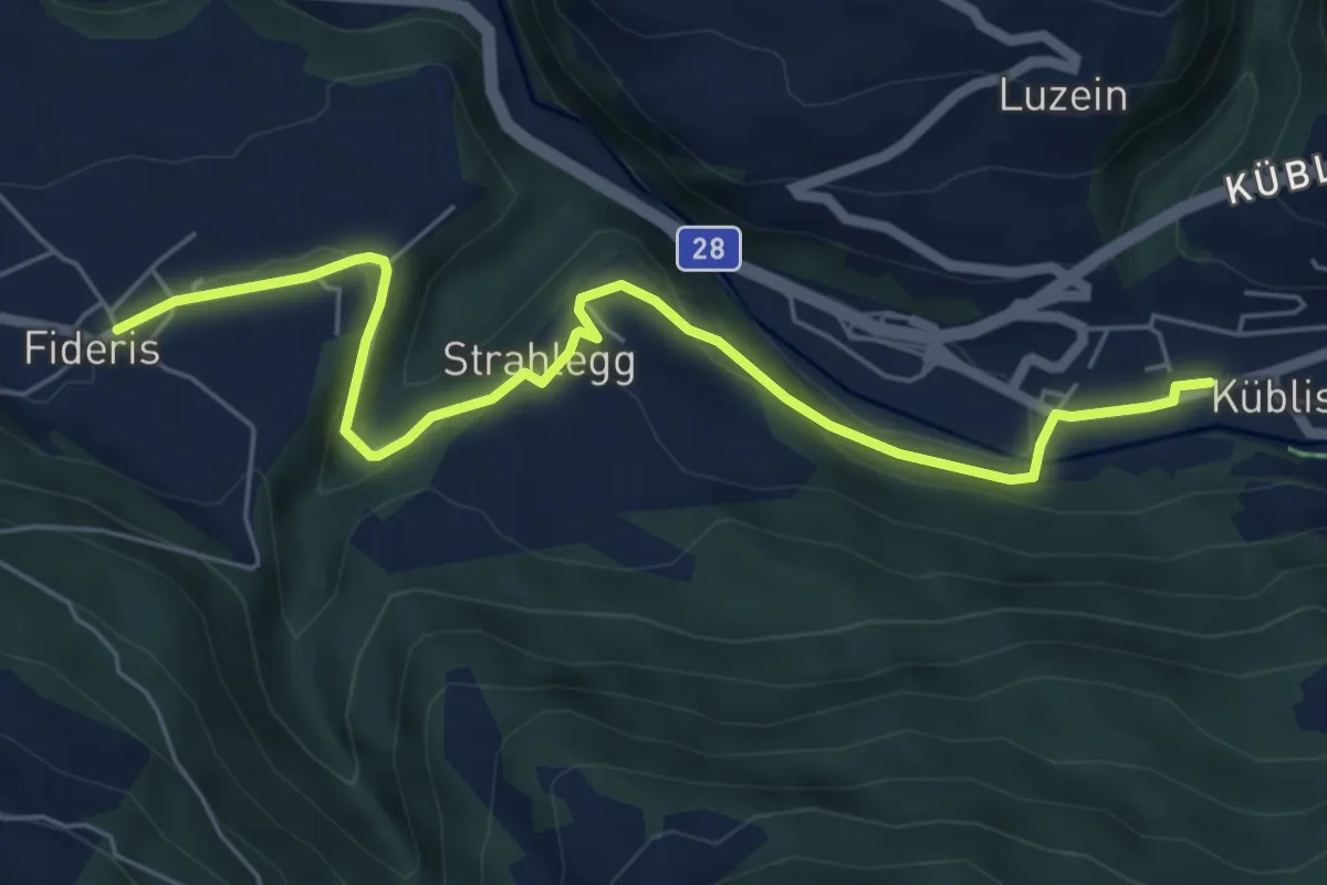
Easy · Trail
Küblis - Fideris
6.4 km · ↑ 148 m · 1 h 50 min · 14 km away
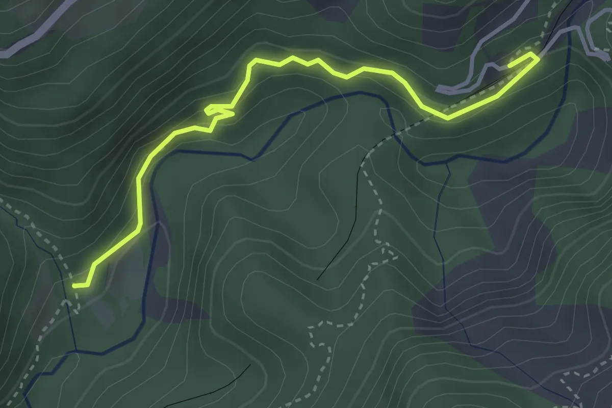
Medium · Trail
Station Wiesen – Leidboden
3.5 km · ↑ 253 m · 1 h 22 min · 14 km away
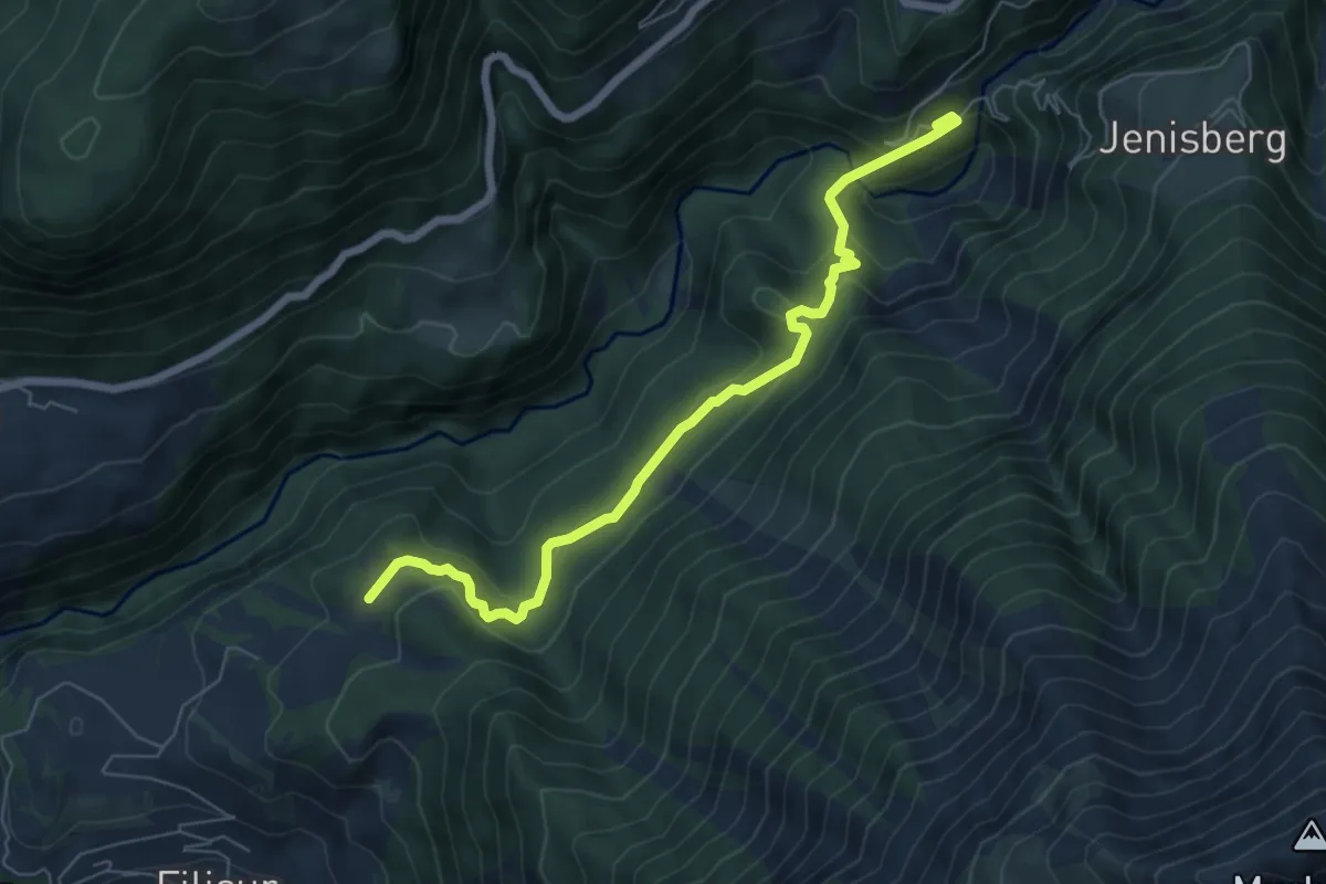
Medium · Trail
Station Wiesen – Schönboden
6.6 km · ↑ 356 m · 2 h 20 min · 14 km away
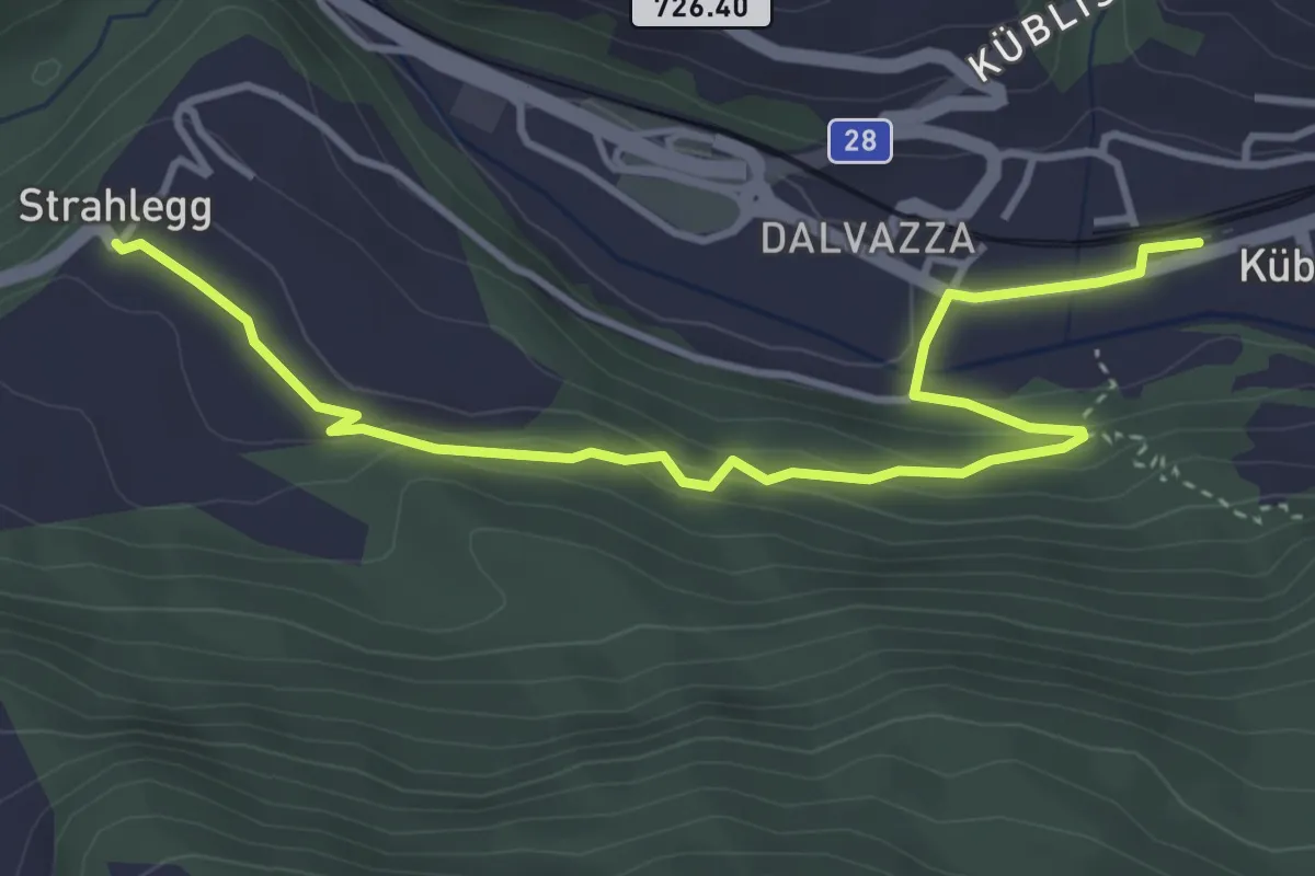
Easy · Trail
Küblis -
4.3 km · ↑ 184 m · 1 h 25 min · 14 km away
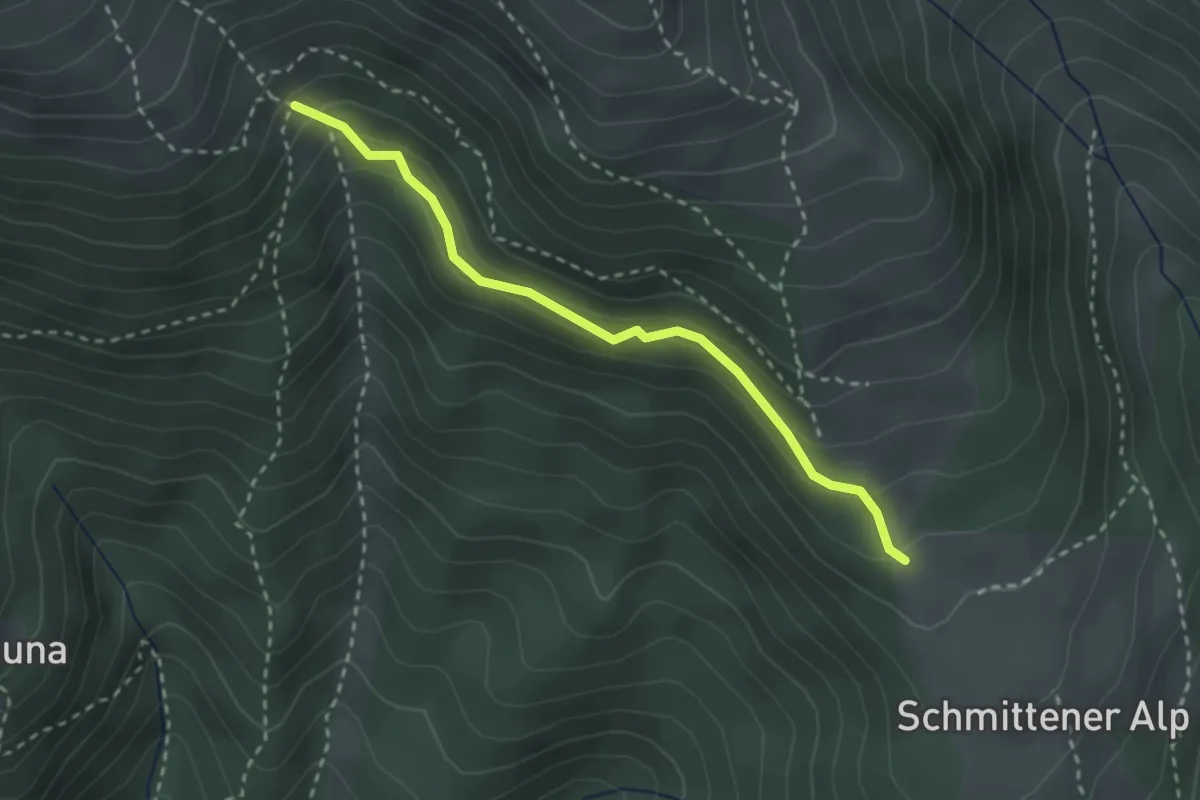
Medium · Trail
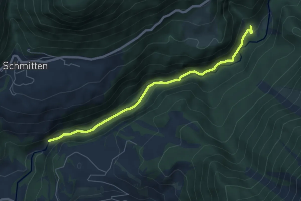
Zaplina-Schmittner Alp
2.6 km · ↑ 175 m · 1 h · 14 km away
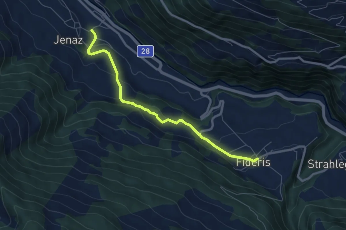
Easy · Trail
Fideris - Jenaz
6.0 km · ↑ 268 m · 1 h 59 min · 15 km away
Medium · Trail
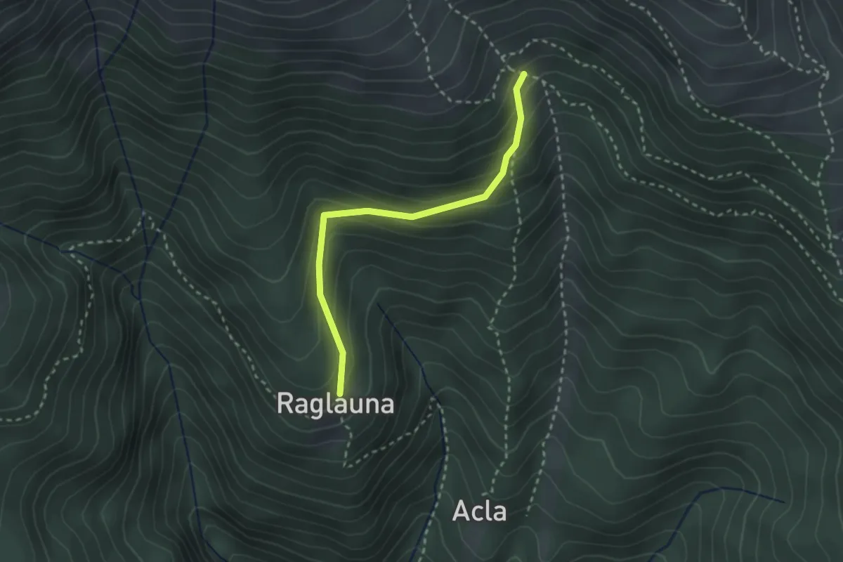
Raglauna - Zaplina
2.5 km · ↑ 190 m · 1 h · 15 km away
Medium · Trail
Leidboden – Landwasser Viadukt
5.3 km · ↑ 251 m · 1 h 48 min · 15 km away