Trails near Dietikon
451 hikes starting within 15 km, nearest first.
Nearest first, page 10 of 10
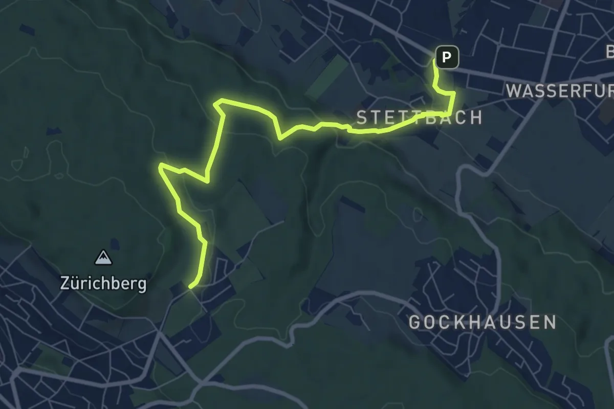
Easy · Trail
Familien-Wanderweg Settbach - Zoo
7.9 km · ↑ 232 m · 2 h 23 min · 15 km away
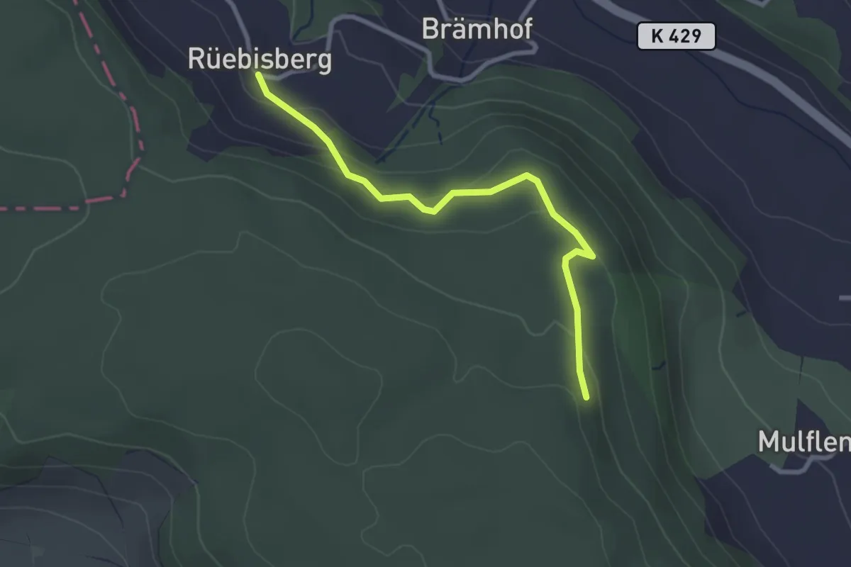
Easy · Trail
Rüeblisberg - Mulflenflue
2.7 km · ↑ 110 m · 52 min · 15 km away
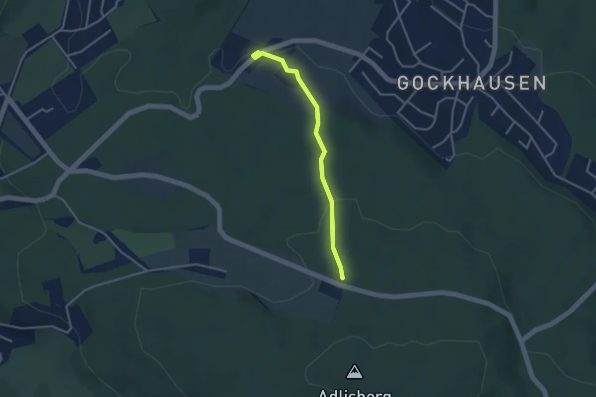
Easy · Trail
Tobelhof - Hinteradlisberg
2.4 km · ↑ 63 m · 43 min · 15 km away
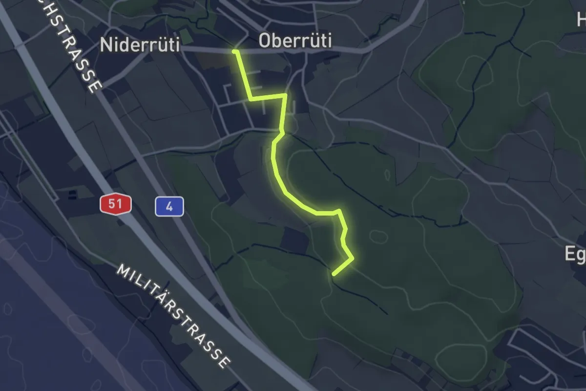
Easy · Trail
Oberrüti – Homberg
2.8 km · ↑ 50 m · 46 min · 15 km away
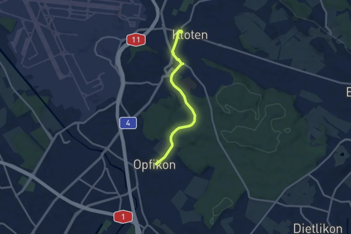
Easy · Pilgrim path
Hugenotten- und Waldenserweg
3.1 km · ↑ 39 m · 51 min · 15 km away
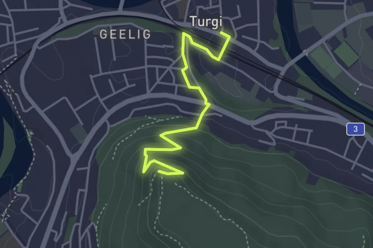
Easy · Trail
Turgi - Gebenstorfer Horn
3.7 km · ↑ 193 m · 1 h 17 min · 15 km away
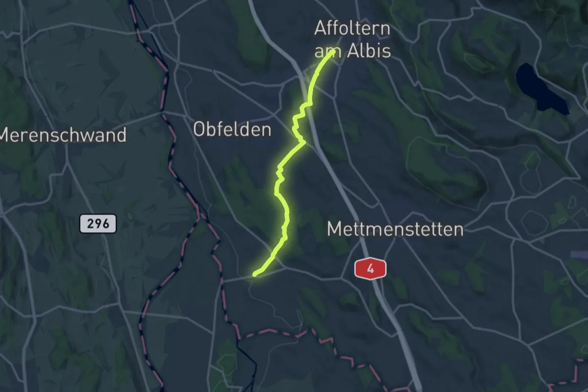
Medium · Trail
Affoltern a. A. - Maschwanden
11.6 km · ↑ 197 m · 3 h 10 min · 15 km away
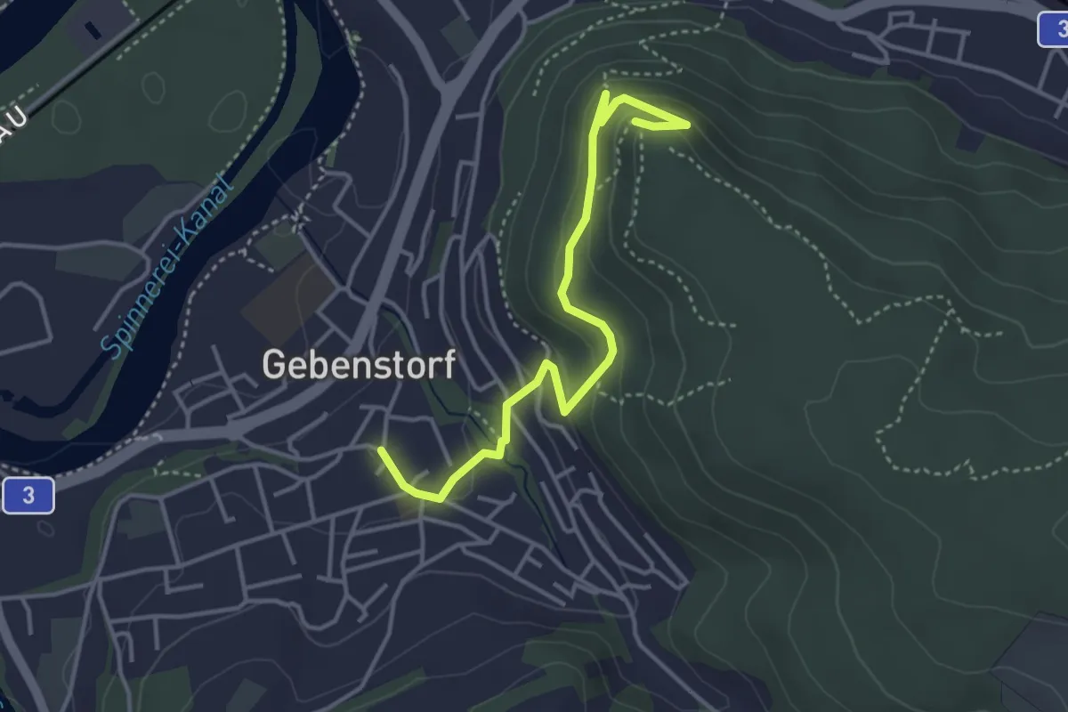
Easy · Trail
Gebenstorfer Horn – Gebenstorf
3.8 km · ↑ 196 m · 1 h 20 min · 15 km away
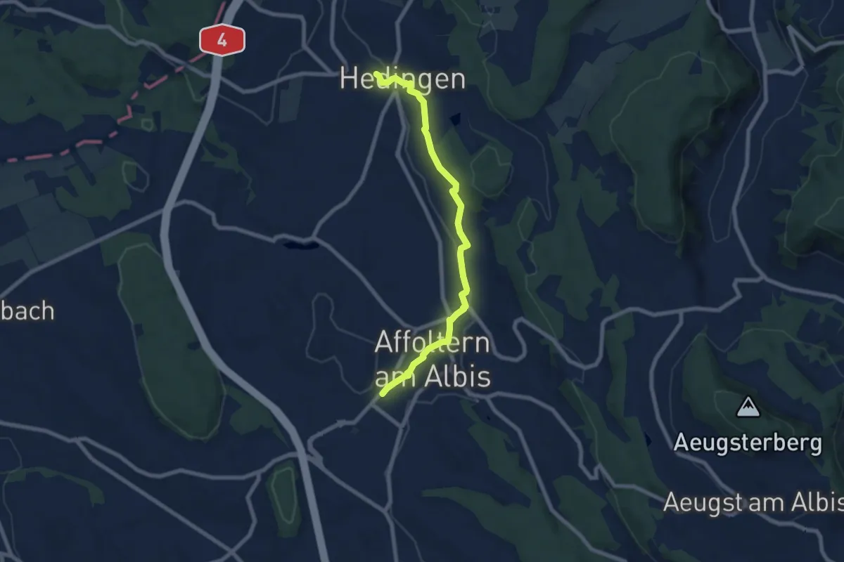
Easy · Trail
Affoltern a. A. - Hedingen
6.9 km · ↑ 147 m · 1 h 57 min · 15 km away
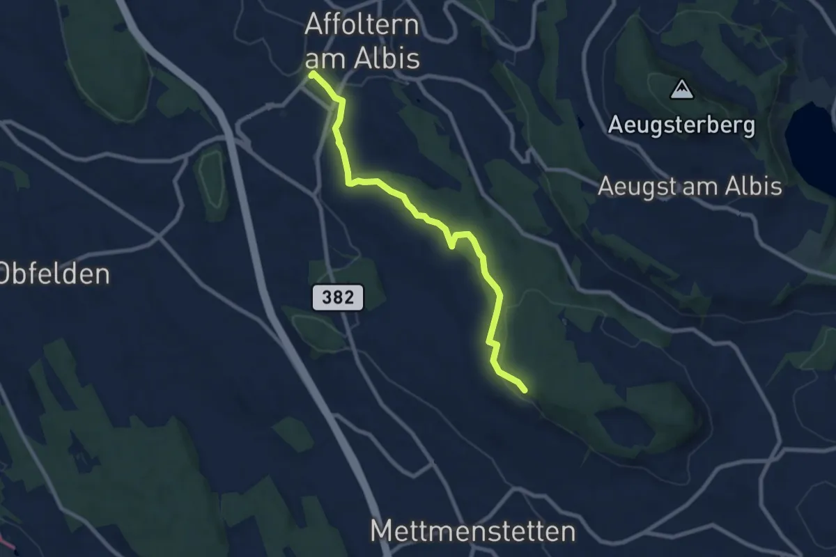
Easy · Trail
Affoltern a. A. – Paradis
7.5 km · ↑ 148 m · 2 h 6 min · 15 km away
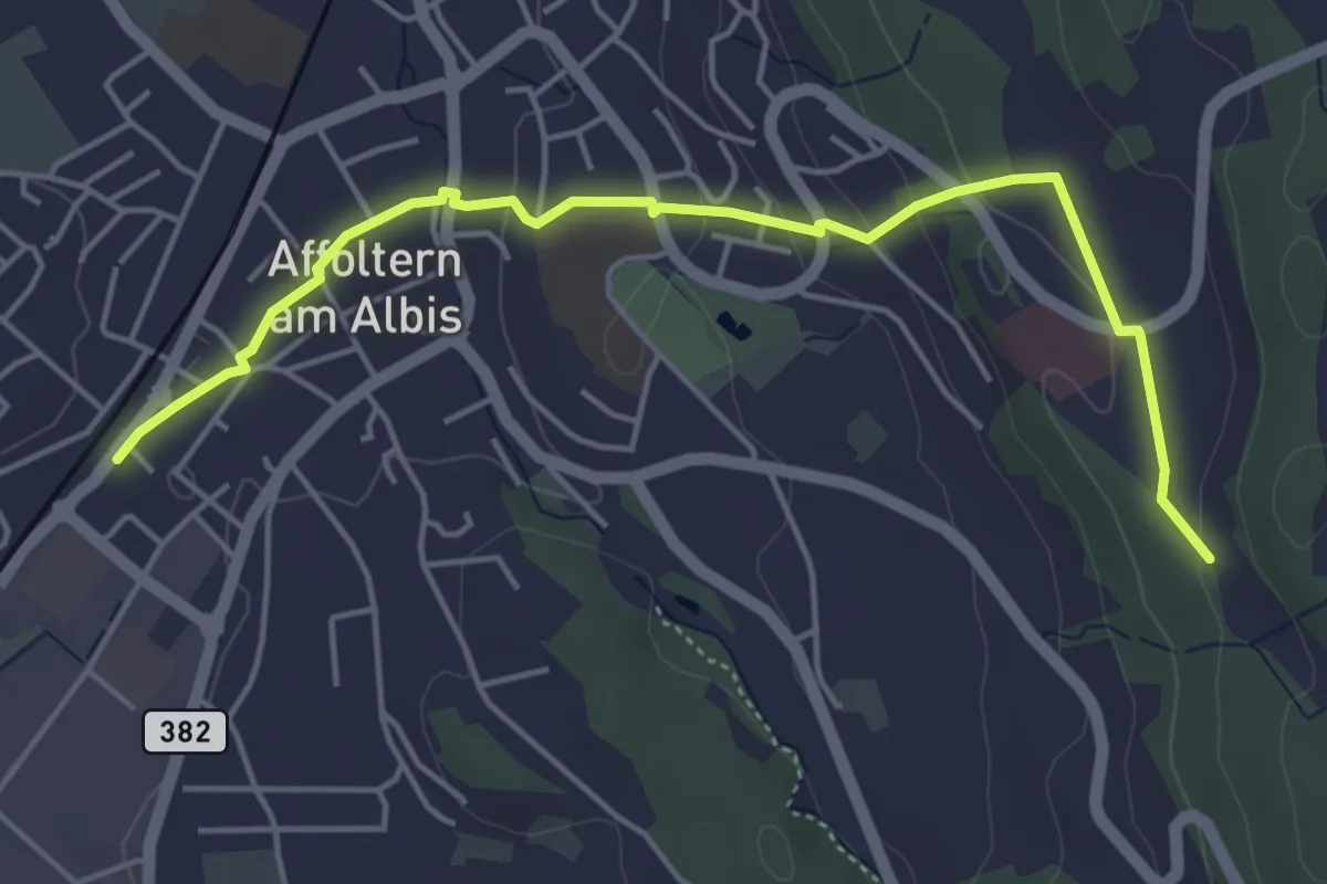
Easy · Trail
Affoltern a. A. - Sunnenbüel
5.1 km · ↑ 140 m · 1 h 30 min · 15 km away
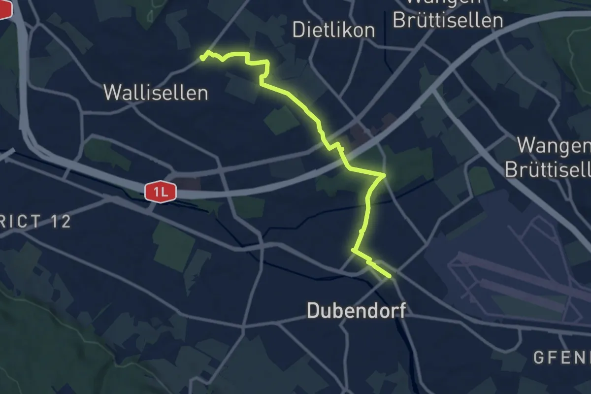
Medium · Trail
Rieden – Dübendorf
8.3 km · ↑ 62 m · 2 h 6 min · 15 km away
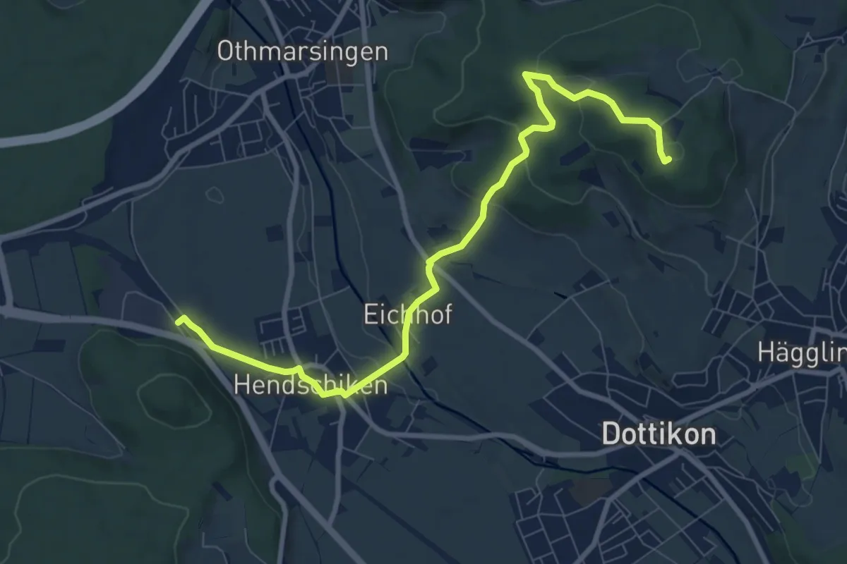
Medium · Summit
Meiengrüen – Hendschiken
9.0 km · ↑ 215 m · 2 h 36 min · 15 km away
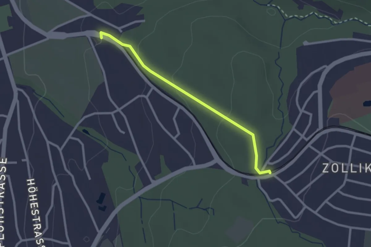
Easy · Trail
Rehalp – Waldburg
2.2 km · ↑ 64 m · 39 min · 15 km away
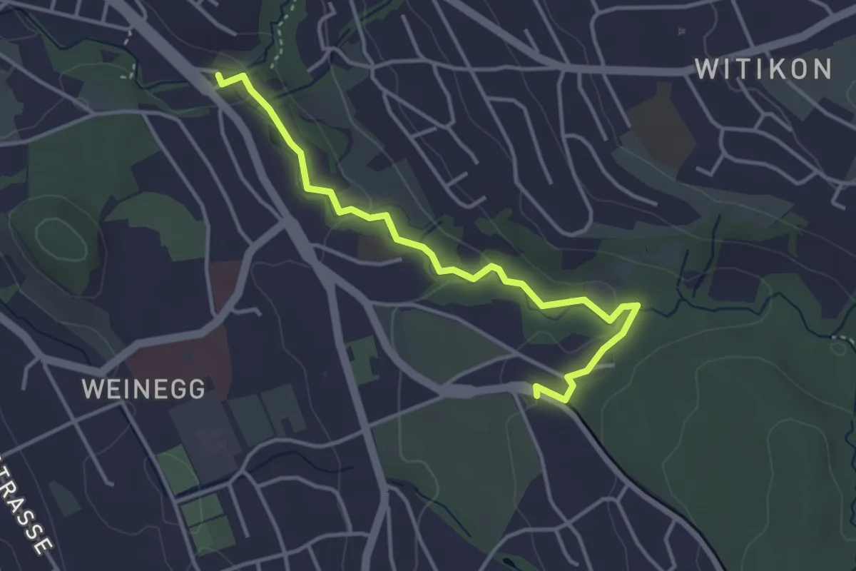
Easy · Trail
Burgwis – Rehalp
3.8 km · ↑ 69 m · 1 h 3 min · 15 km away
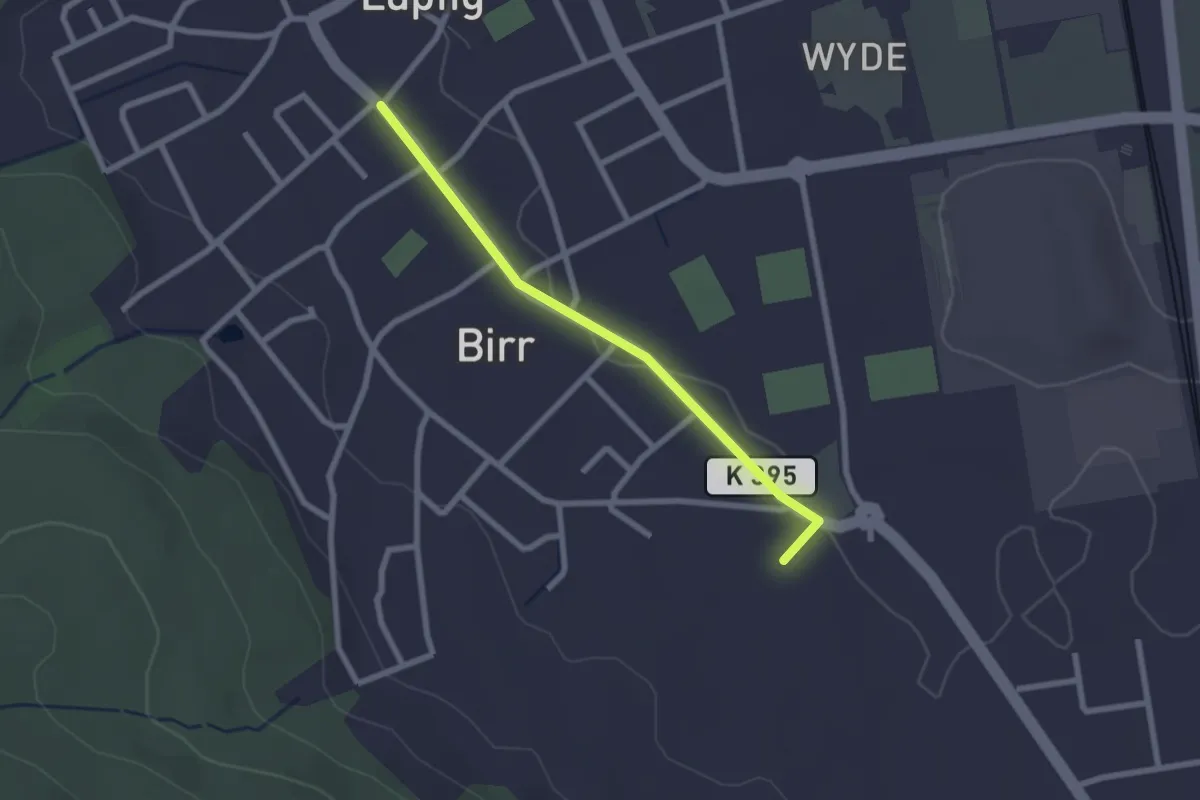
Easy · Trail
Lupfig - Pestalozziheim-Neudorf
2.2 km · ↑ 9 m · 32 min · 15 km away
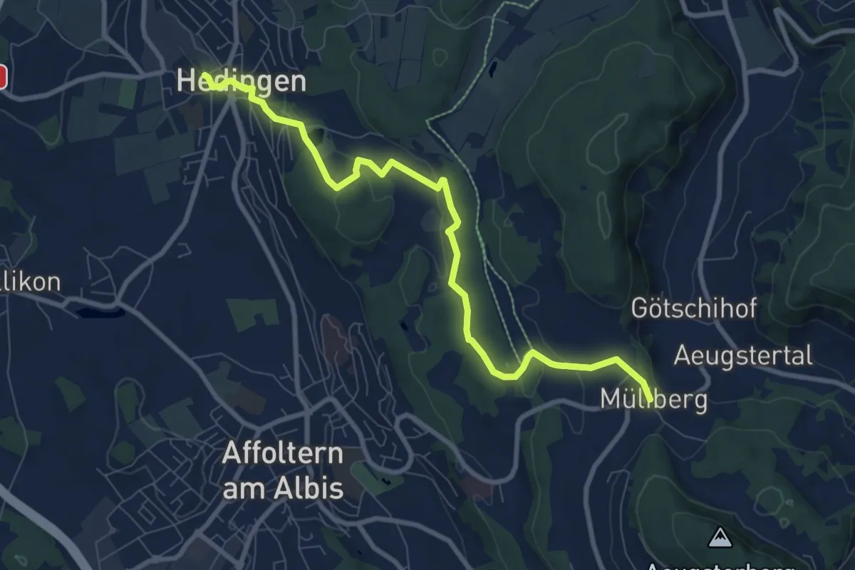
Medium · Trail
Hedingen Station – Müliberg
8.8 km · ↑ 229 m · 2 h 34 min · 15 km away
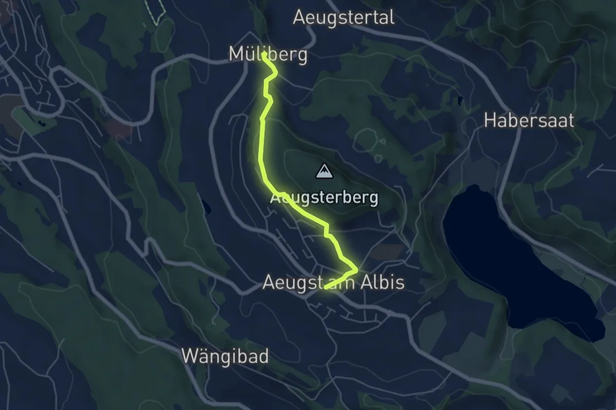
Easy · Trail
Aeugst a. A. – Müliberg
4.3 km · ↑ 168 m · 1 h 23 min · 15 km away
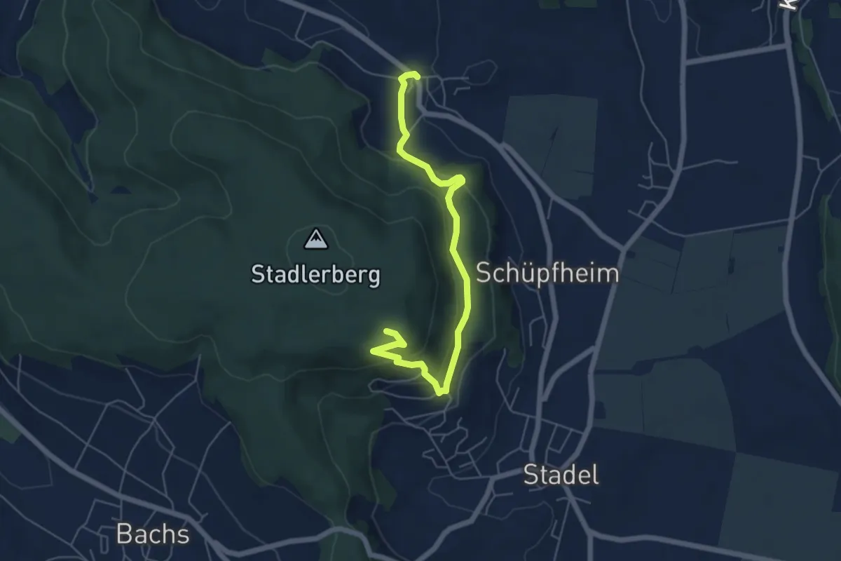
Easy · Trail
Raat – Stadlerberg
5.7 km · ↑ 305 m · 2 h · 15 km away