Trails near Dübendorf
575 hikes starting within 15 km, nearest first.
Nearest first, page 12 of 12
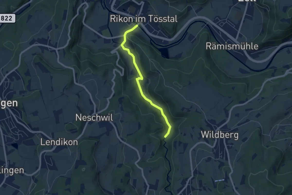
Easy · Trail
Rikon Brücke – Tobel
5.0 km · ↑ 69 m · 1 h 20 min · 14 km away
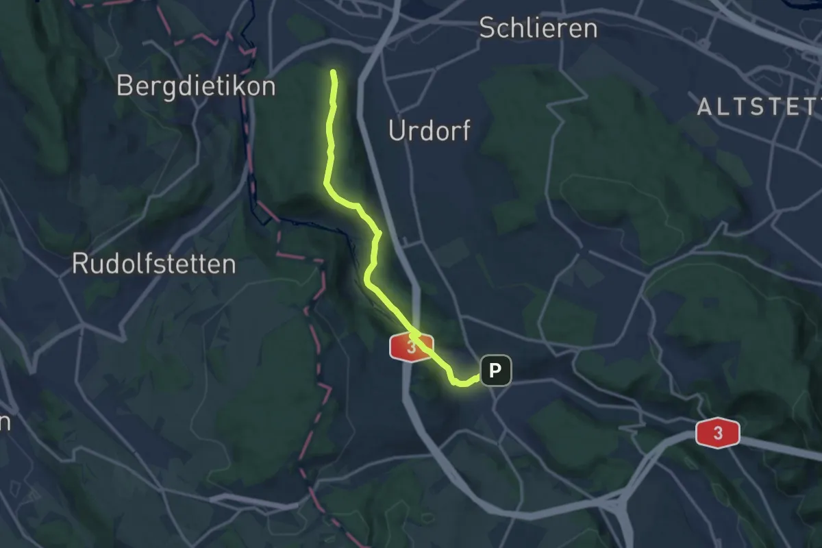
Medium · Trail
Birmensdorf - Lindenbüel
11.1 km · ↑ 299 m · 3 h 16 min · 14 km away
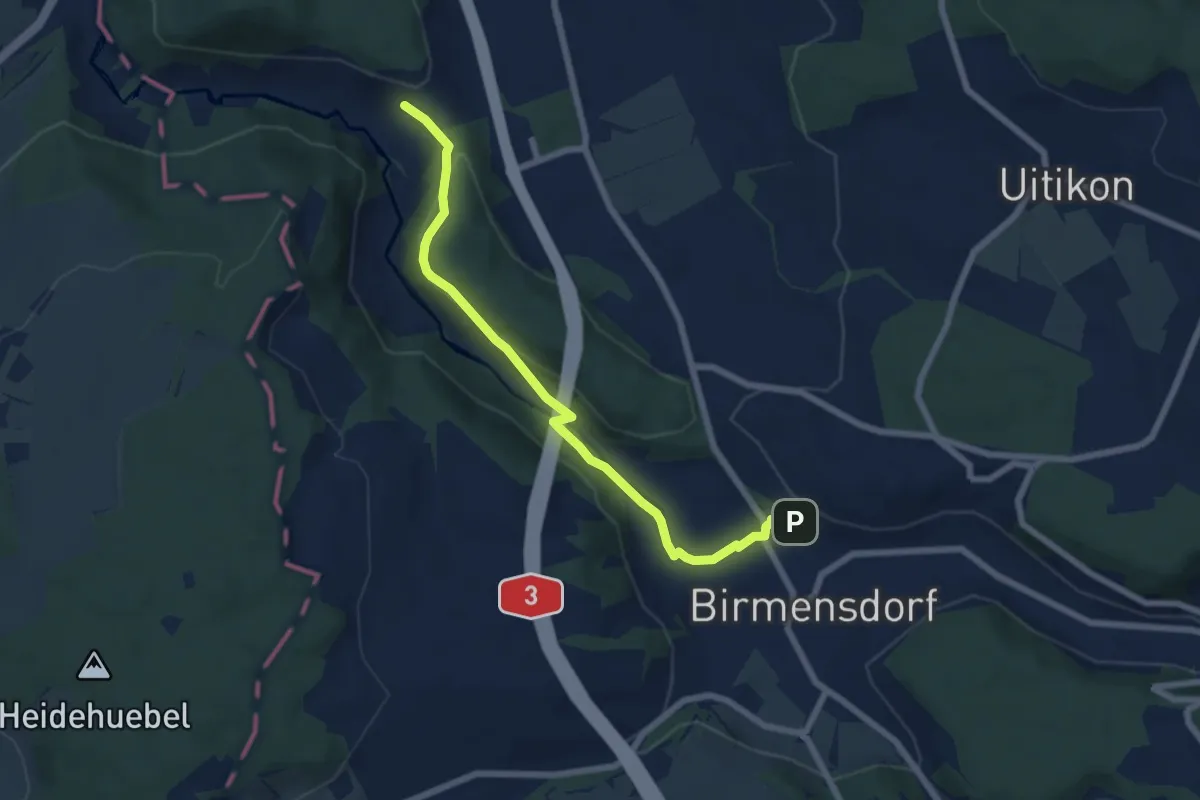
Easy · Trail
Birmensdorf - Unter Reppischtal
6.6 km · ↑ 166 m · 1 h 55 min · 14 km away
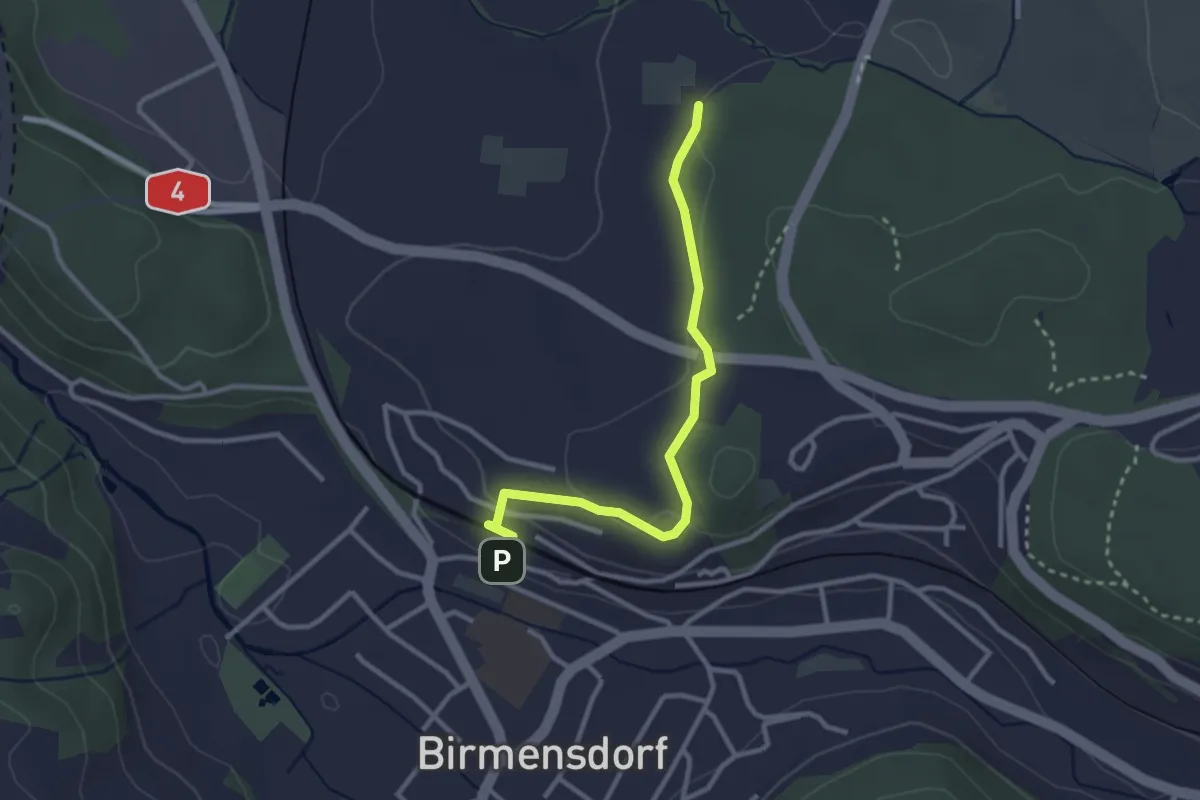
Easy · Trail
Birmensdorf - Leerbreiti
2.9 km · ↑ 92 m · 53 min · 14 km away
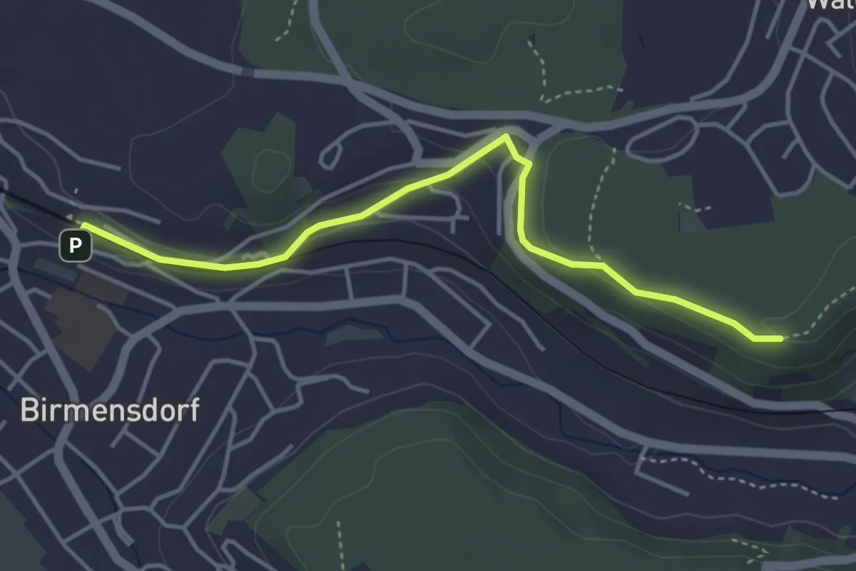
Easy · Trail
Birmensdorf – Maas
4.0 km · ↑ 99 m · 1 h 10 min · 14 km away
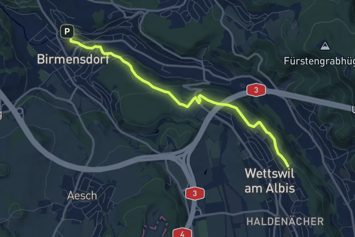
Medium · Trail
Birmensdorf – Näfenhügel
8.4 km · ↑ 162 m · 2 h 20 min · 14 km away
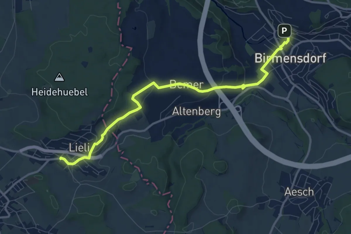
Medium · Trail
Birmensdorf - Lieli
9.4 km · ↑ 238 m · 2 h 44 min · 14 km away
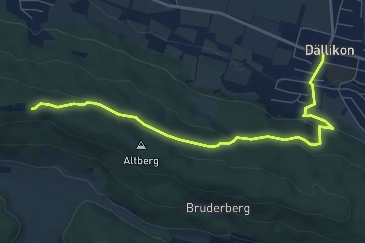
Easy · Cabin
Altberg - Dällikon
6.4 km · ↑ 191 m · 1 h 56 min · 14 km away
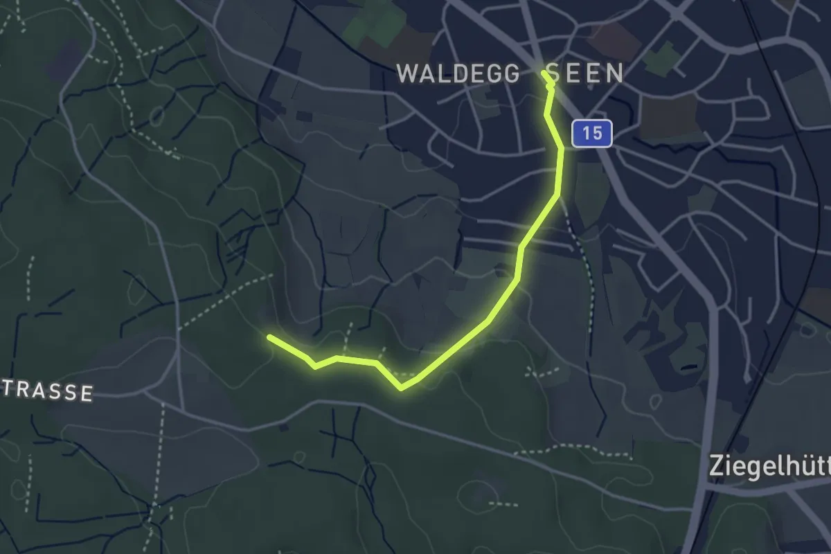
Easy · Trail
Seen – Paradis
3.2 km · ↑ 95 m · 58 min · 14 km away
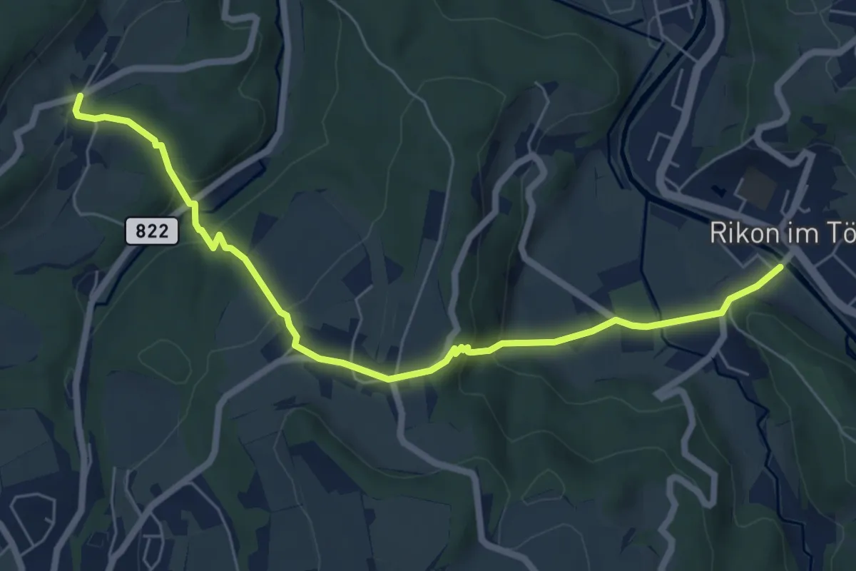
Easy · Trail
Brünggen – Rikon Brücke
6.6 km · ↑ 276 m · 2 h 10 min · 14 km away
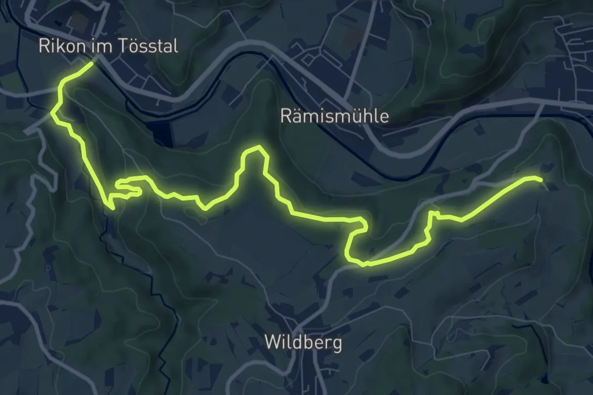
Medium · Trail
Rikon Brücke – Tössegg
12.1 km · ↑ 320 m · 3 h 33 min · 14 km away
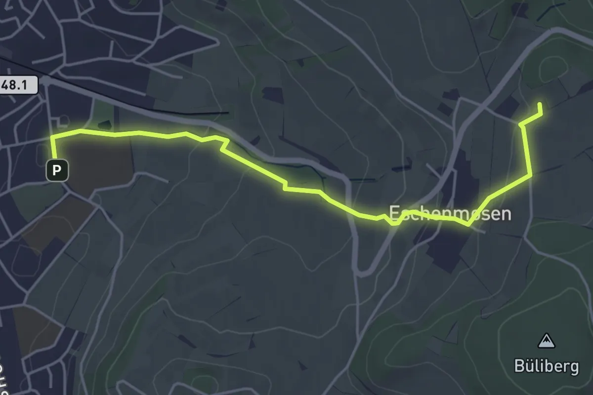
Easy · Trail
Planetenweg Bülach
4.9 km · ↑ 120 m · 1 h 25 min · 14 km away
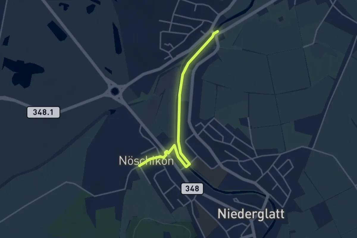
Easy · Trail
Oberhöri - Nöschikon
3.3 km · ↑ 9 m · 48 min · 14 km away
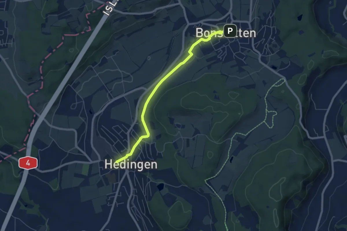
Easy · Trail
Hedingen Station – Bonstetten
5.8 km · ↑ 105 m · 1 h 36 min · 15 km away
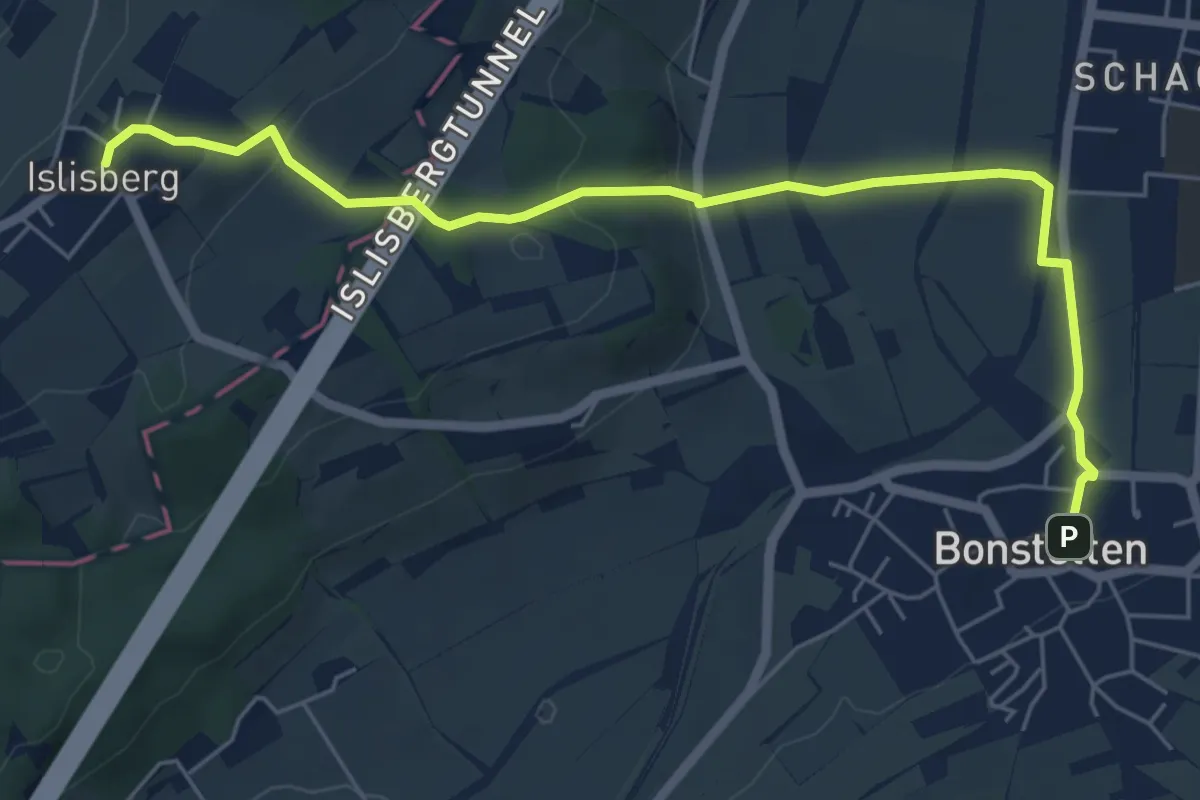
Easy · Trail
Bonstetten – Islisberg
6.4 km · ↑ 162 m · 1 h 51 min · 15 km away
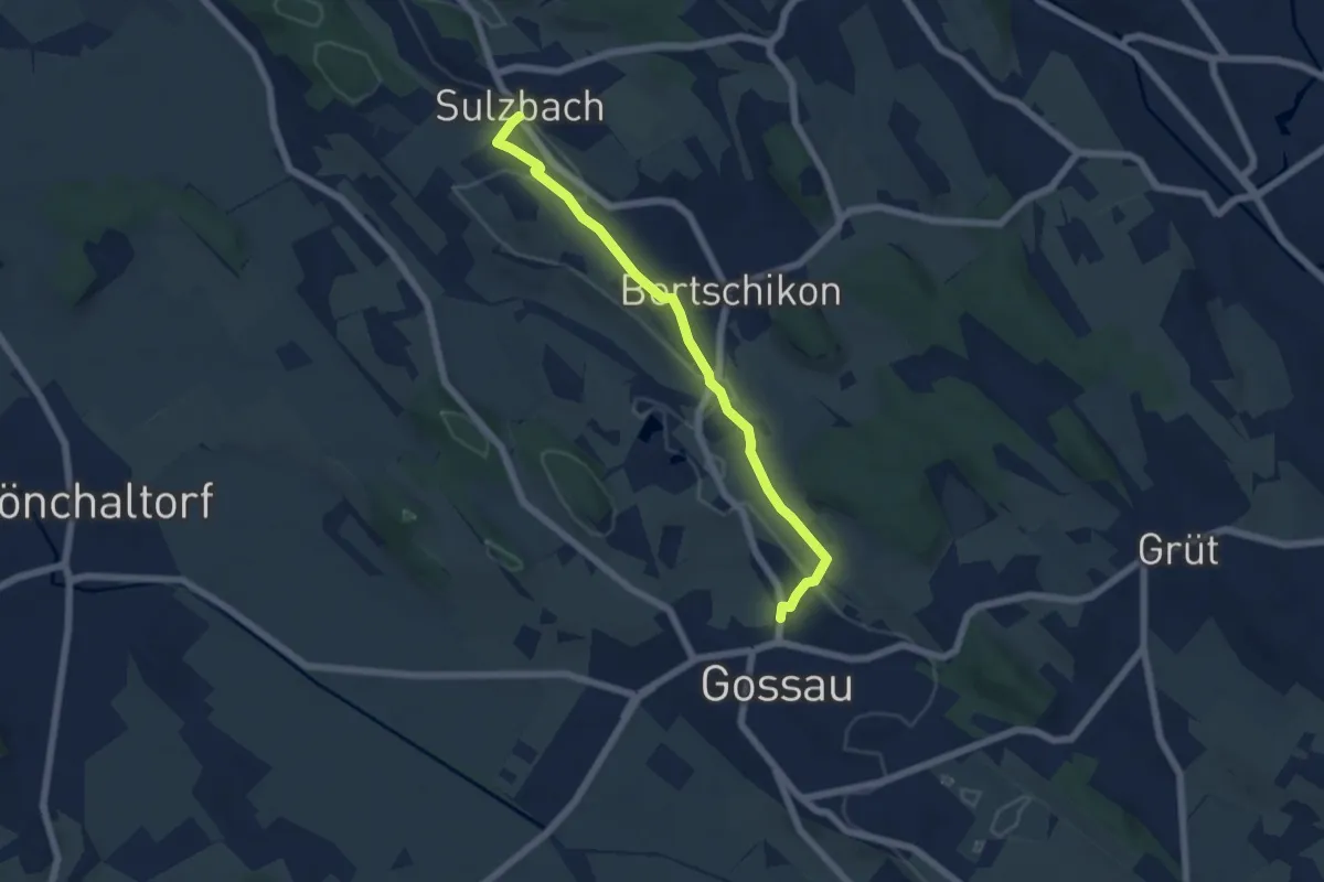
Easy · Trail
Sulzbach – Gossau
5.6 km · ↑ 90 m · 1 h 31 min · 15 km away
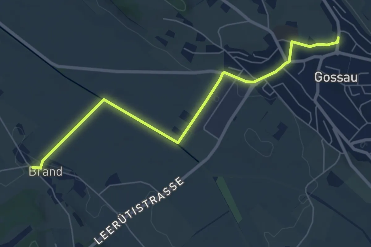
Easy · Trail
Brand – Gossau
5.8 km · ↑ 36 m · 1 h 27 min · 15 km away
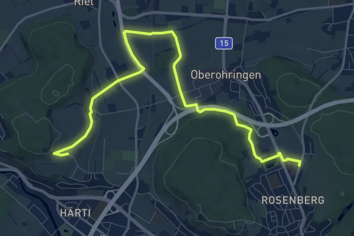
Medium · Trail
Bushaltestelle Rosenberg – Taggenberg
11.7 km · ↑ 126 m · 3 h 2 min · 15 km away
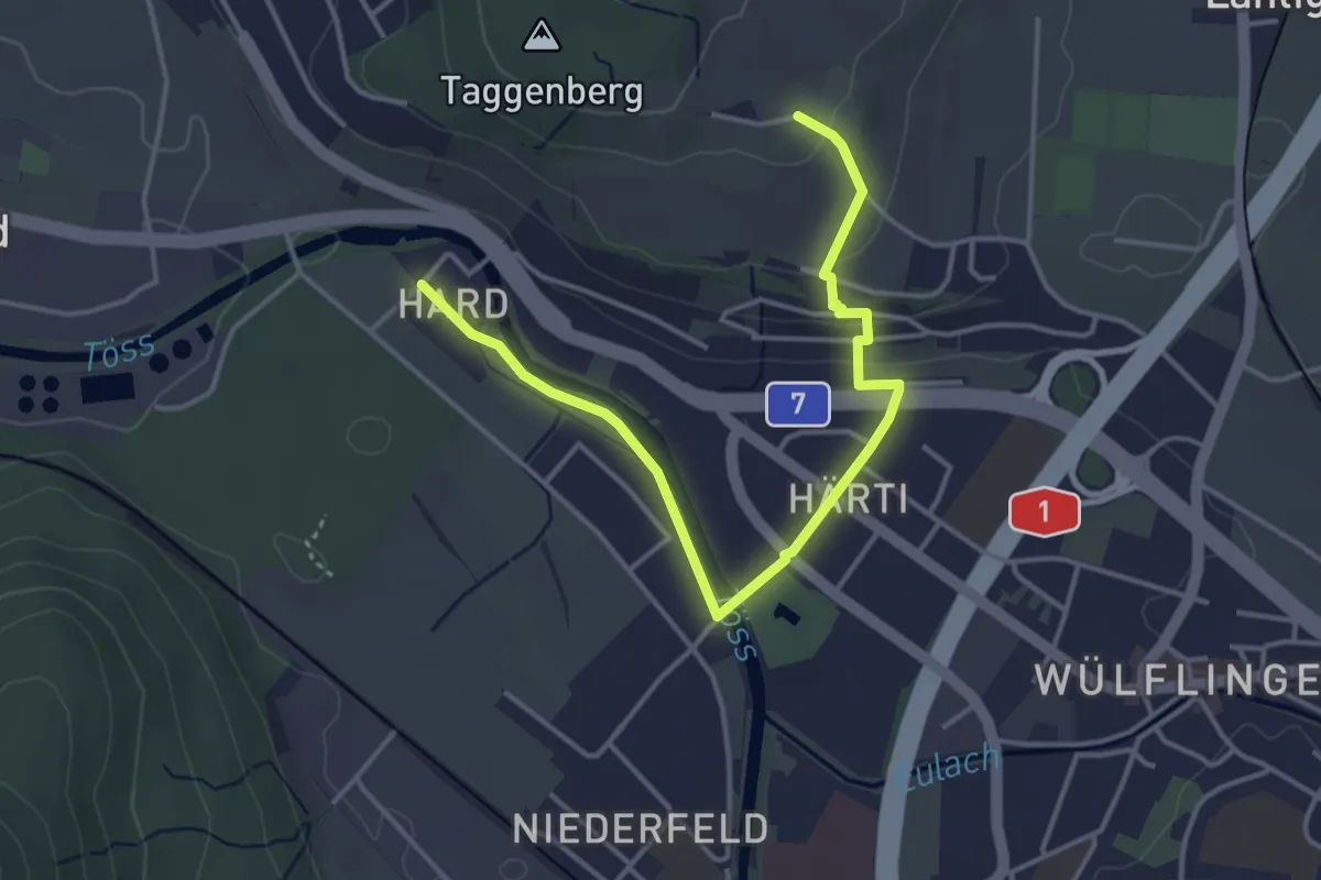
Easy · Trail
Taggenberg – Hardau
4.3 km · ↑ 80 m · 1 h 11 min · 15 km away
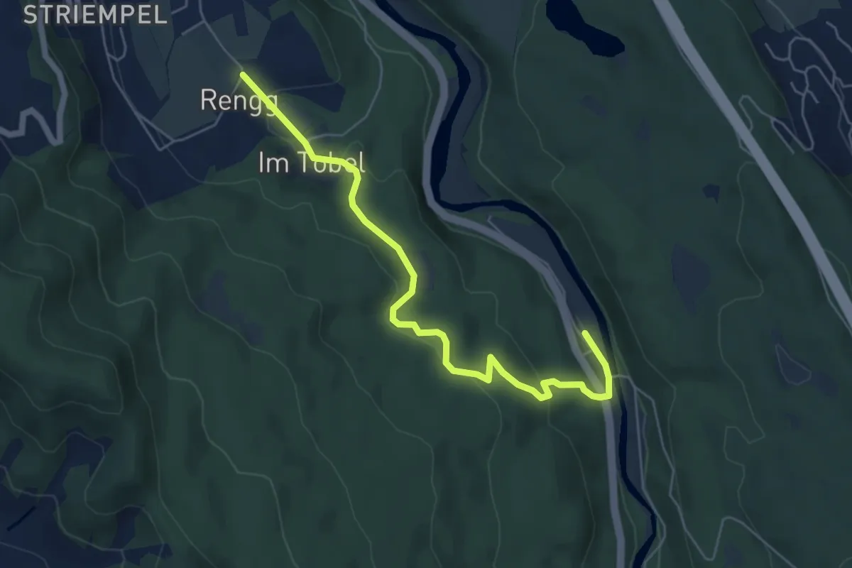
Easy · Trail
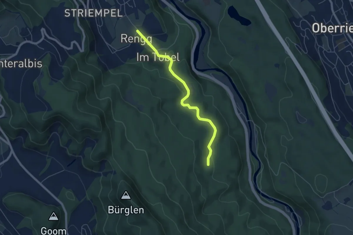
Rängg – Sihlwald
5.8 km · ↑ 209 m · 1 h 49 min · 15 km away
Easy · Trail
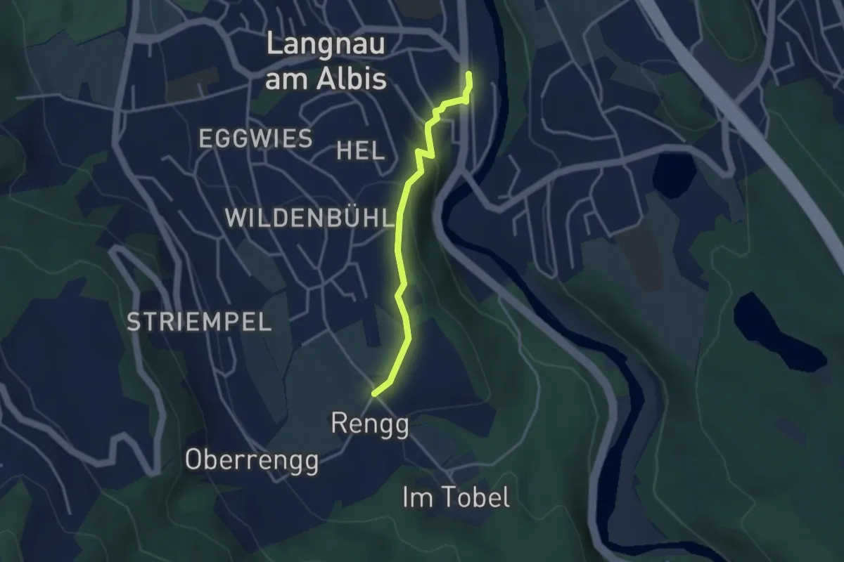
Tannboden – Rängg
5.0 km · ↑ 102 m · 1 h 25 min · 15 km away
Easy · Trail
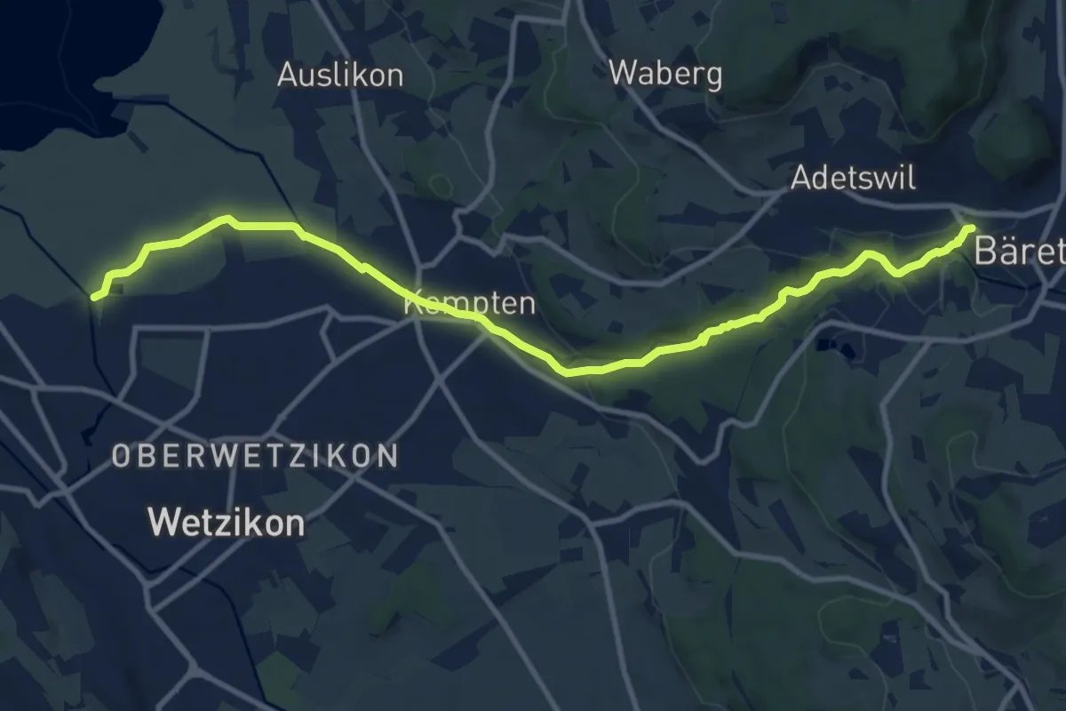
Rängg – Langnau Gattikon
2.6 km · ↑ 105 m · 51 min · 15 km away
Medium · Trail
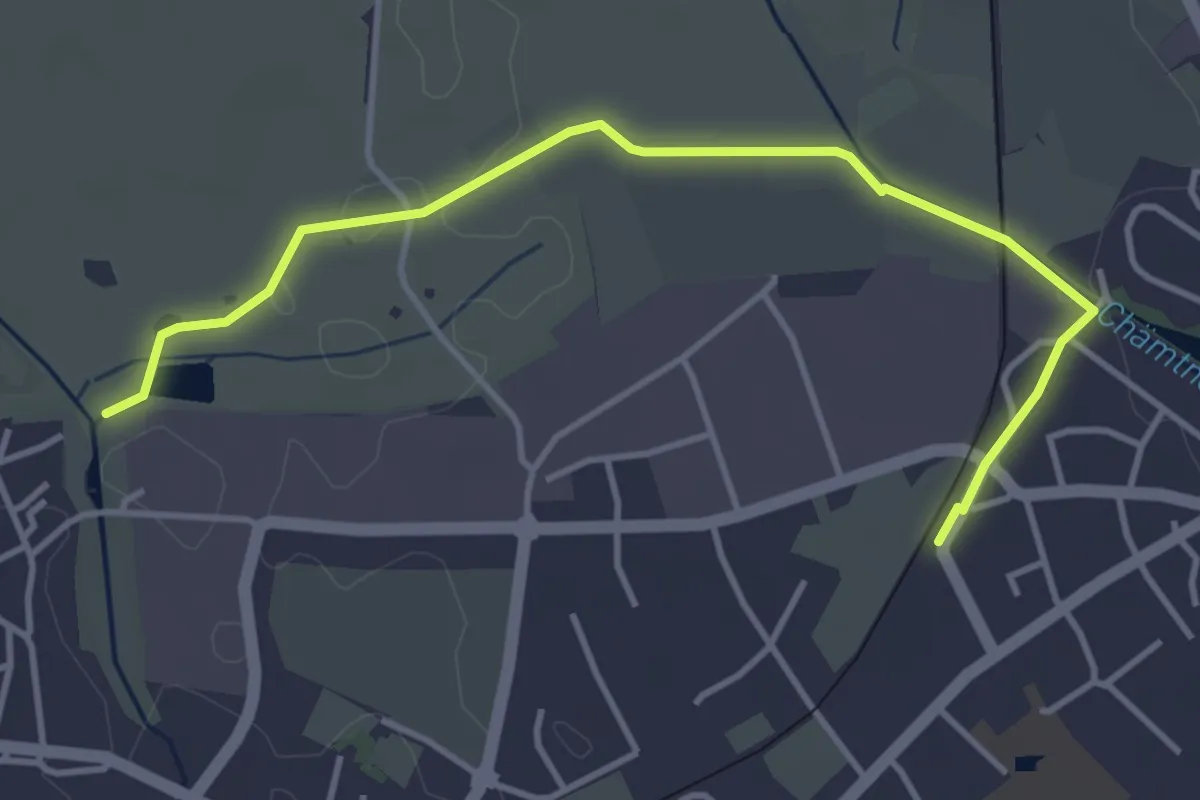
Industriepfad Zürcher Oberland
11.3 km · ↑ 163 m · 3 h 2 min · 15 km away
Easy · Trail
Robenhausen - Kempten
4.3 km · ↑ 22 m · 1 h 4 min · 15 km away
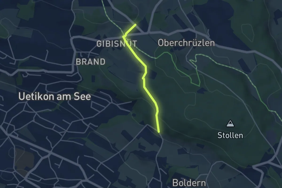
Easy · Trail
Gibisnüd – Appisberg
2.6 km · ↑ 81 m · 47 min · 15 km away
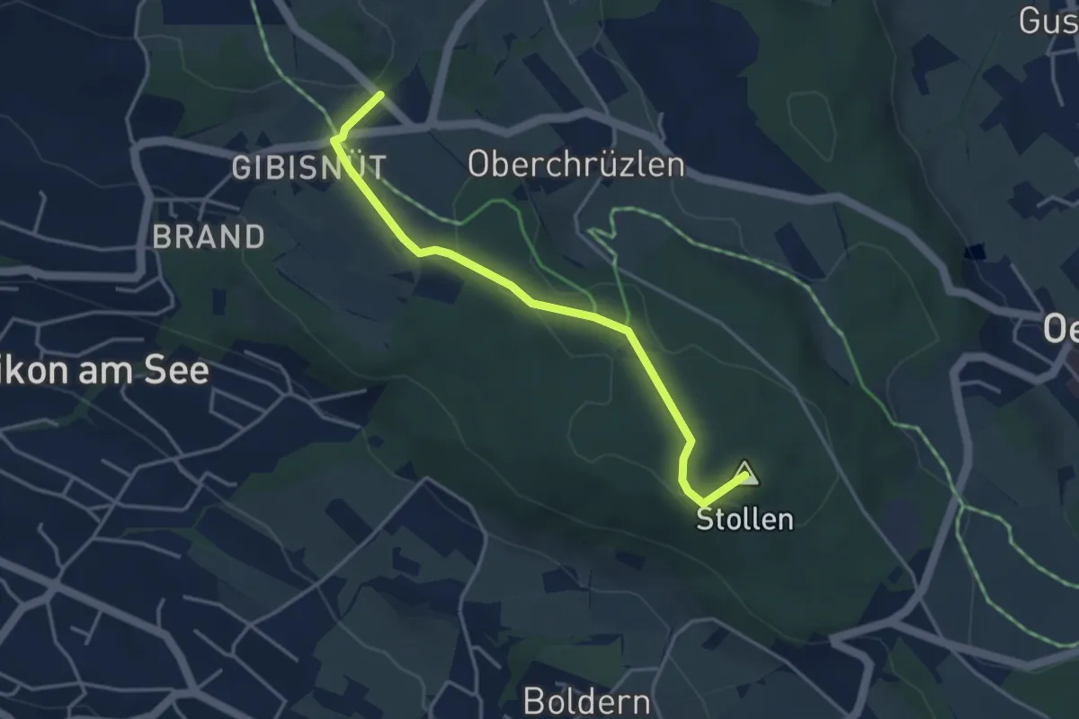
Easy · Summit
Stäfnertürli – Gibisnüd
3.6 km · ↑ 54 m · 59 min · 15 km away
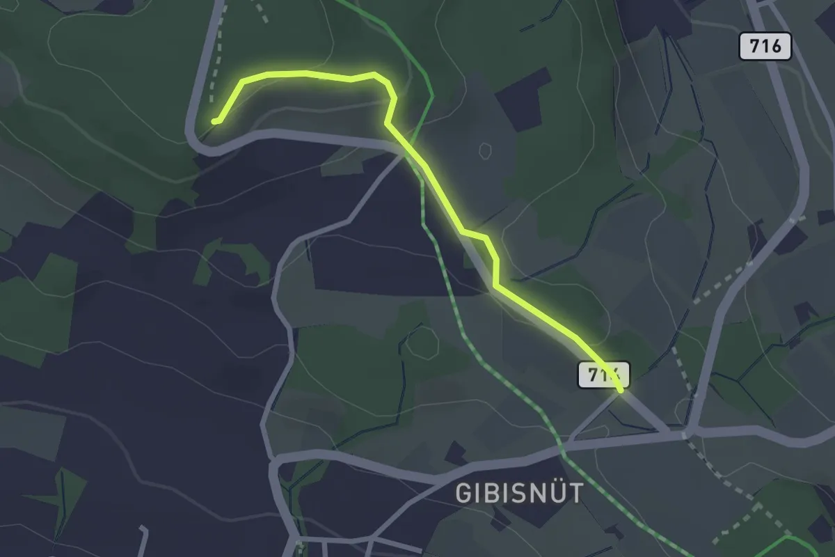
Easy · Trail
Buechholz – Gibisnüd
2.3 km · ↑ 76 m · 42 min · 15 km away
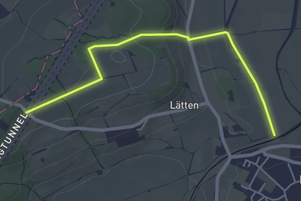
Easy · Trail
Rundweg
4.1 km · ↑ 113 m · 1 h 13 min · 15 km away
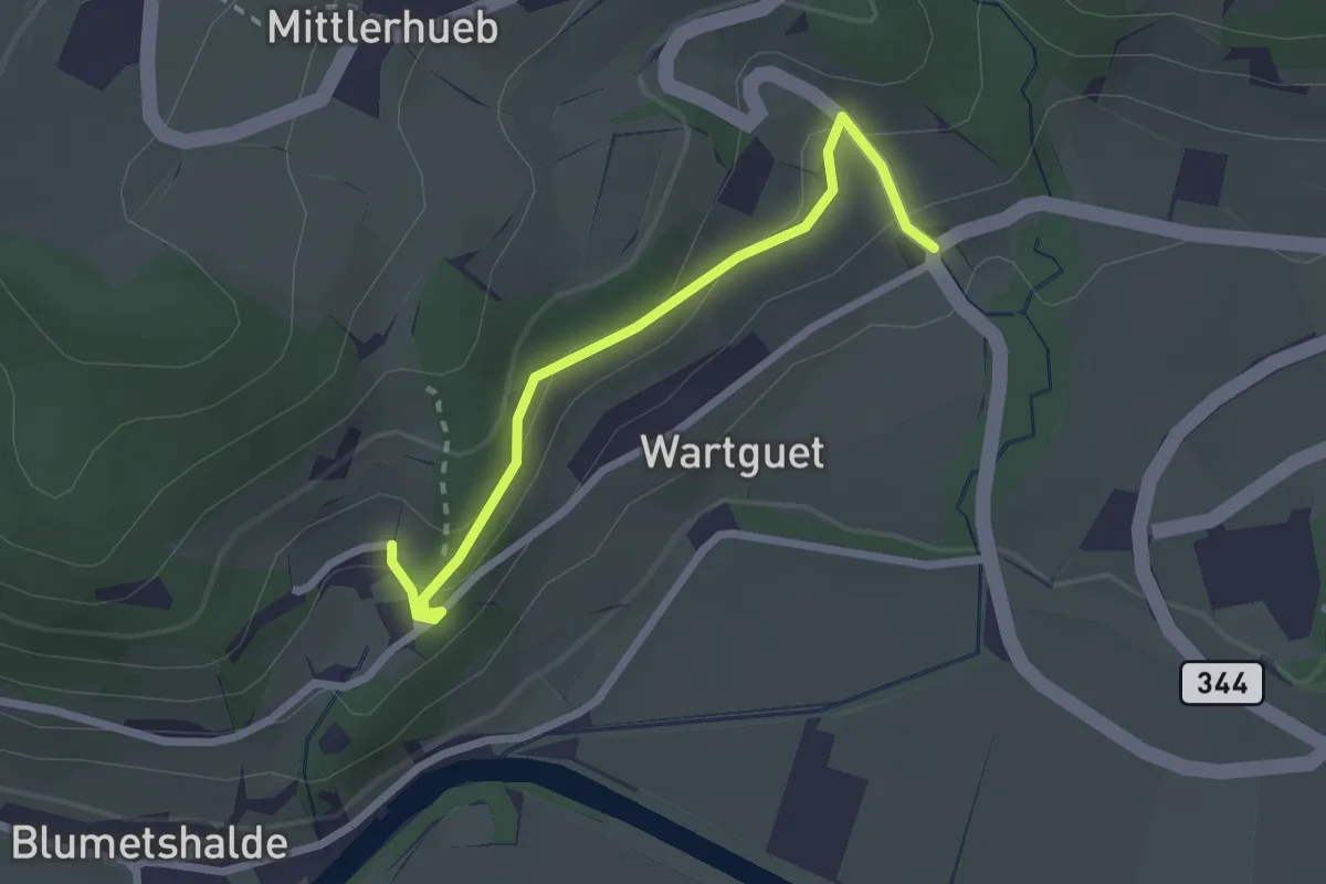
Easy · Trail
Museum – Talguet
2.3 km · ↑ 162 m · 54 min · 15 km away
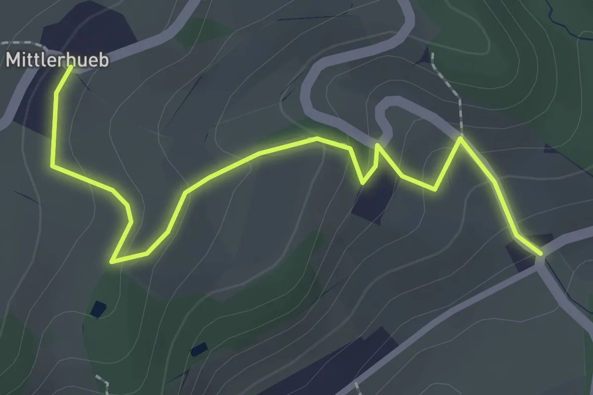
Easy · Trail
Mittlerhueb – Museum
2.4 km · ↑ 133 m · 51 min · 15 km away
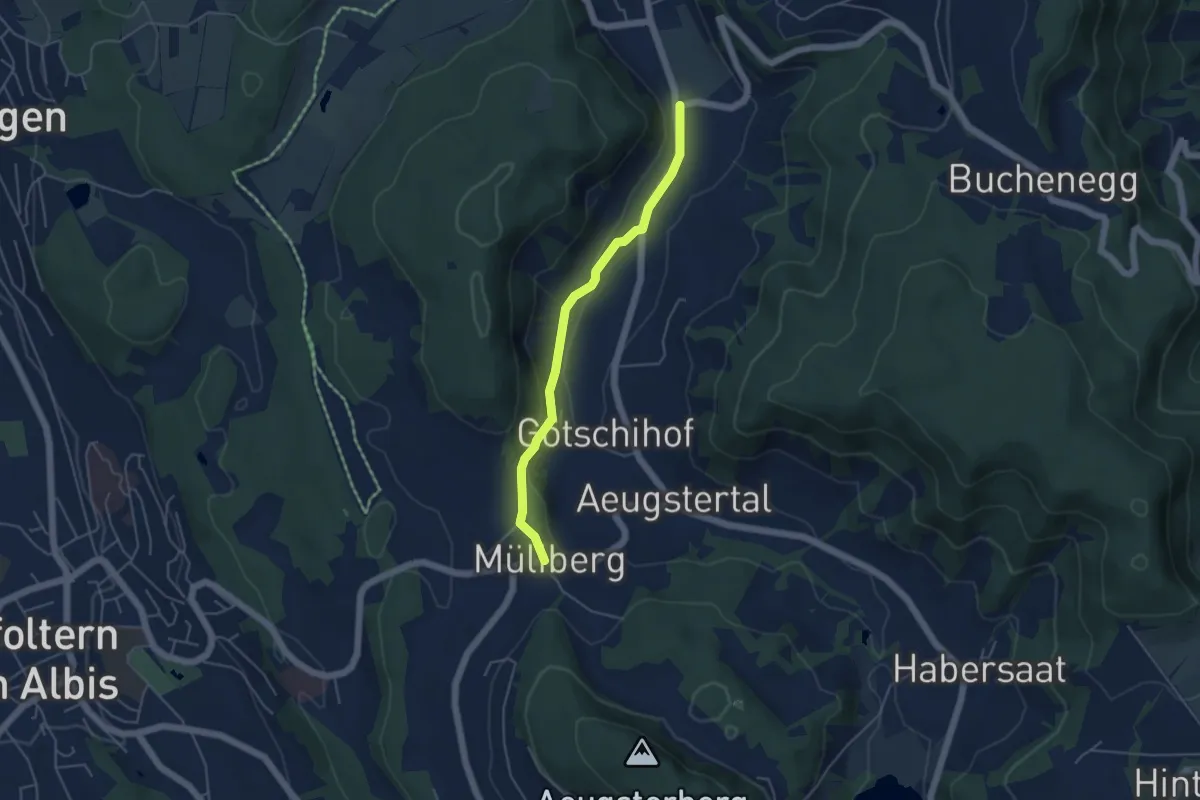
Easy · Trail
Müliberg – Tägerst
4.3 km · ↑ 118 m · 1 h 16 min · 15 km away
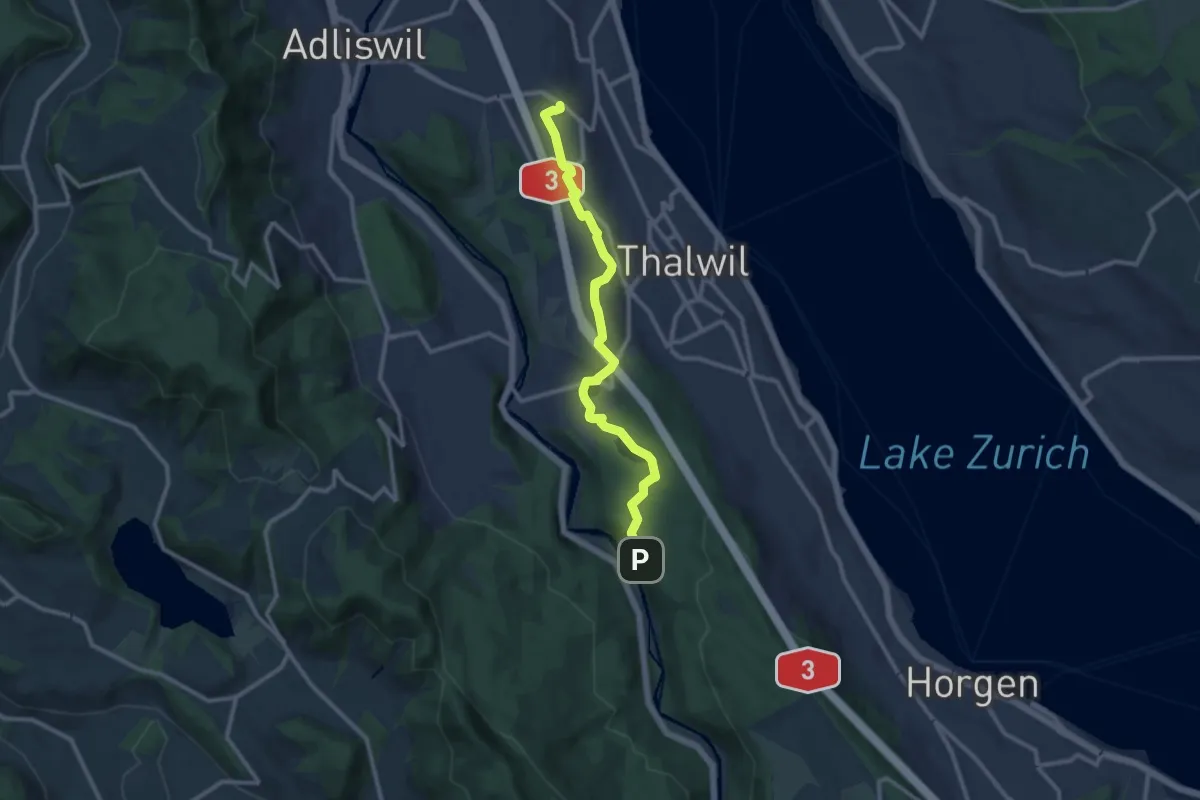
Medium · Trail
Nidelbad – Schlegeltobel
10.7 km · ↑ 156 m · 2 h 52 min · 15 km away
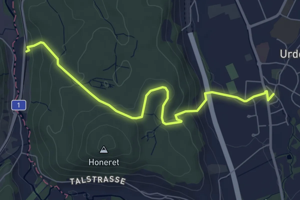
Easy · Trail
Oberurdorf - Reppischhof
6.4 km · ↑ 210 m · 1 h 58 min · 15 km away
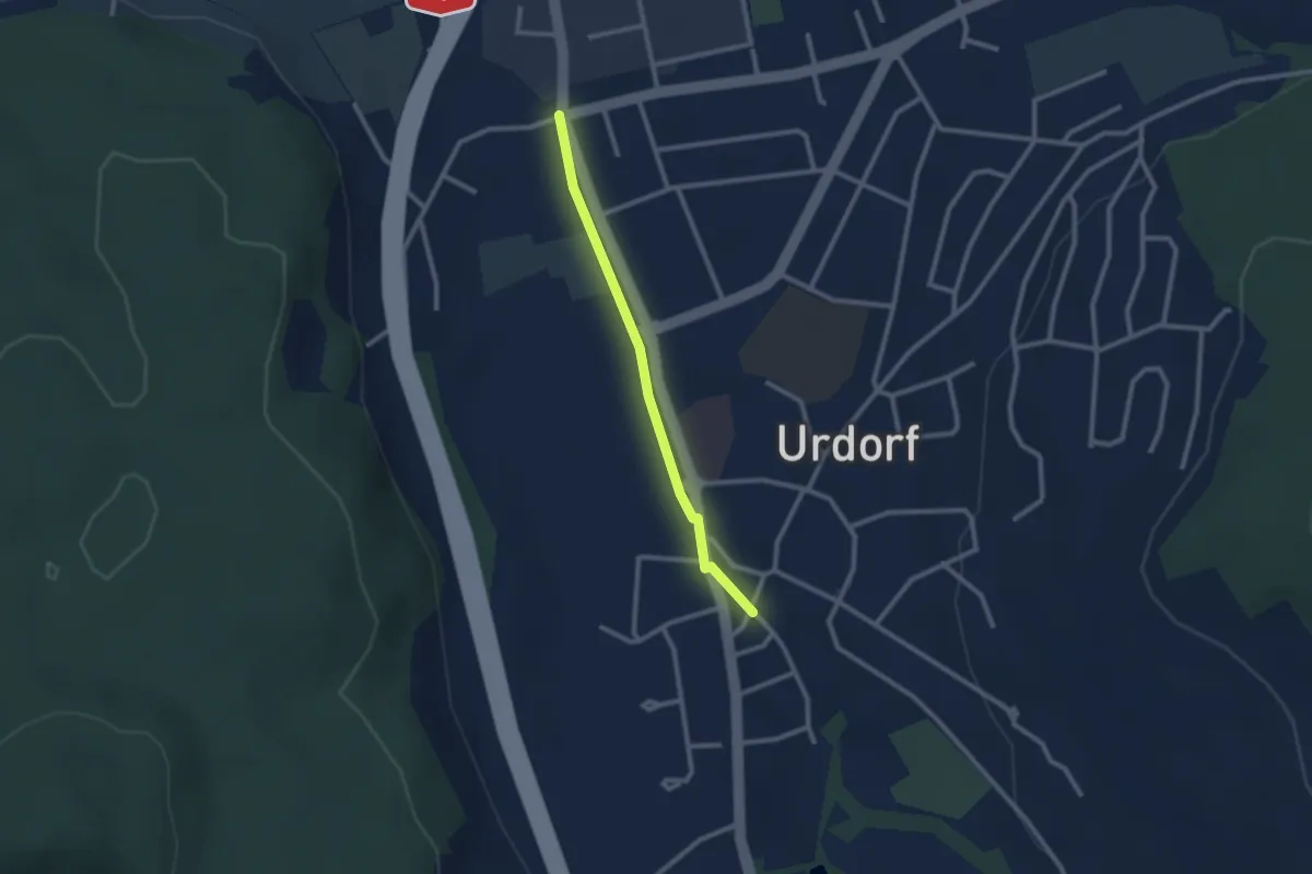
Easy · Trail
Oberurdorf - Niederurdorf
2.2 km · ↑ 9 m · 32 min · 15 km away
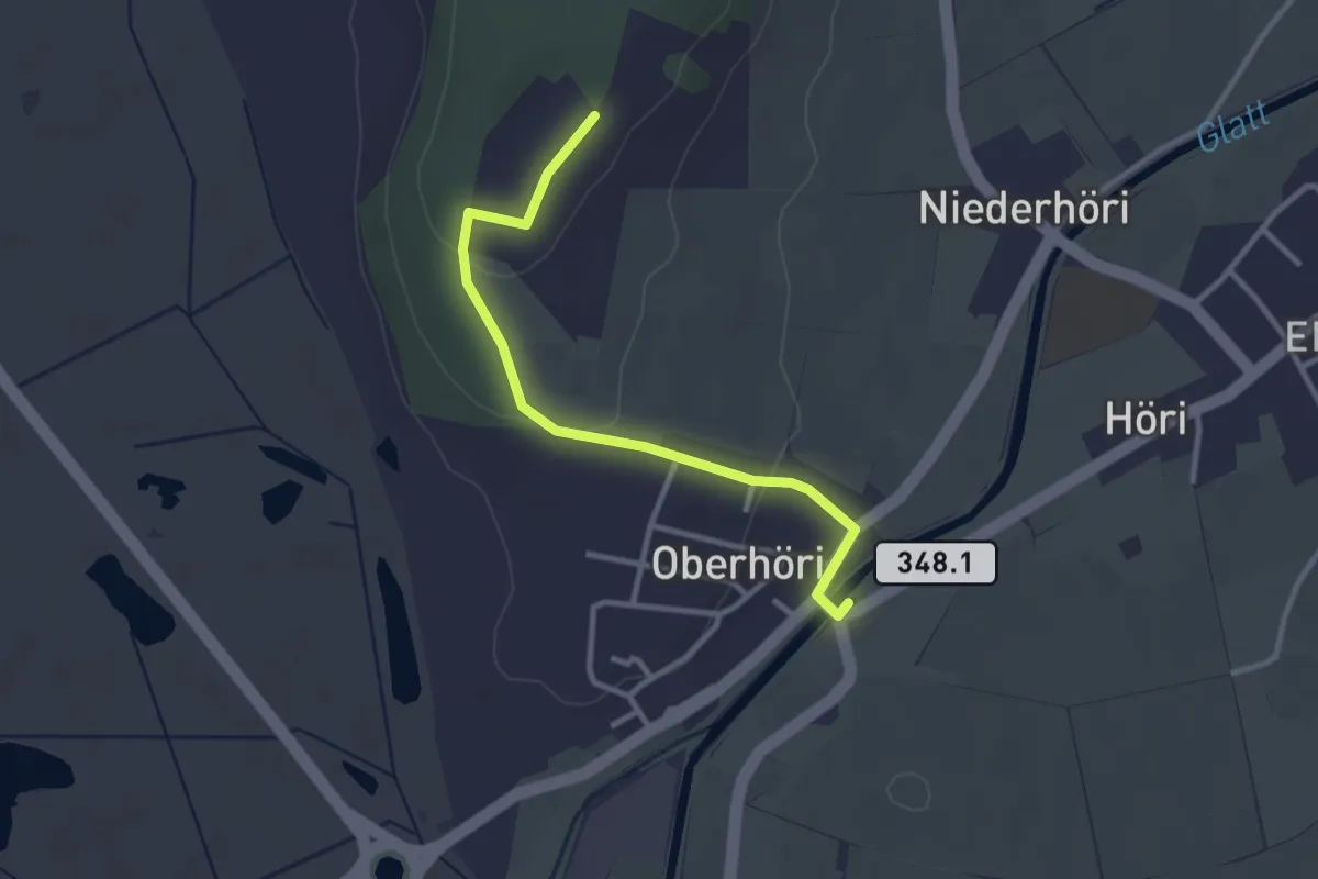
Easy · Trail
Höriberg – Oberhöri
2.9 km · ↑ 57 m · 49 min · 15 km away
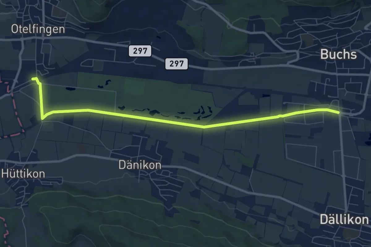
Medium · Trail
Otelfingen (Bahnhof) – Buchs-Dällikon
8.4 km · ↑ 13 m · 2 h 1 min · 15 km away
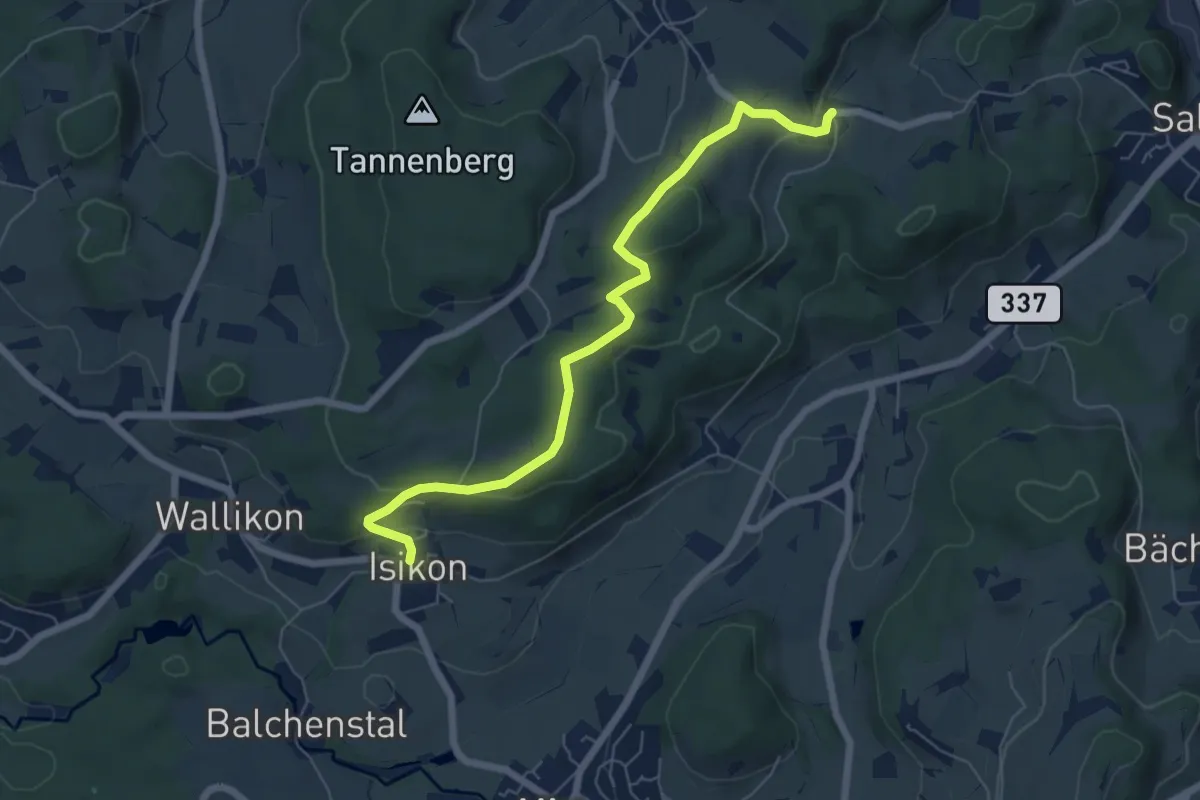
Easy · Trail
Isikon - Ravensbüel
6.4 km · ↑ 167 m · 1 h 53 min · 15 km away
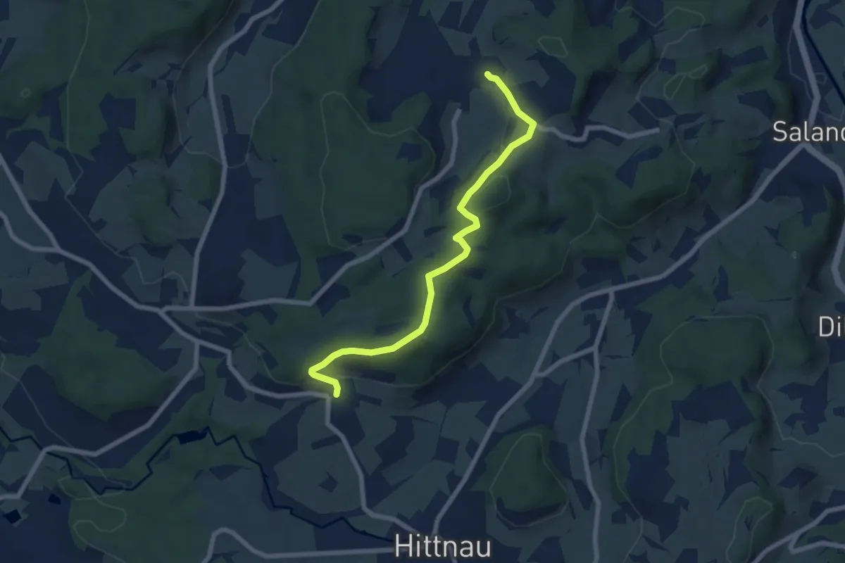
Easy · Trail
Isikon – Hermatswil
6.5 km · ↑ 161 m · 1 h 53 min · 15 km away
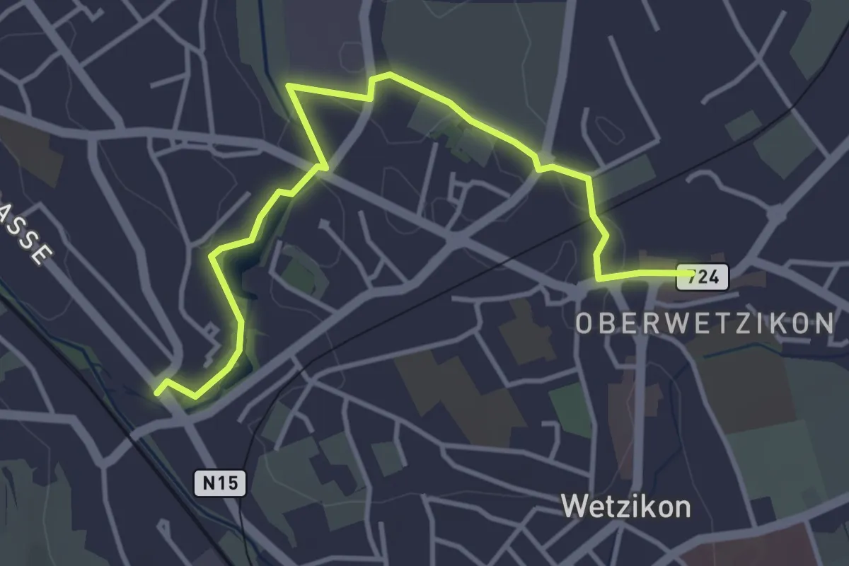
Easy · Trail
Oberwetzikon - Medikon
4.0 km · ↑ 27 m · 1 h · 15 km away
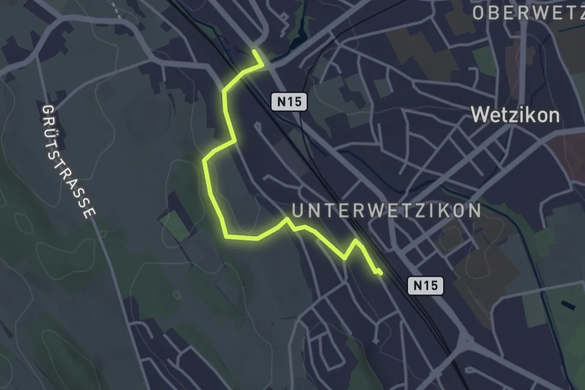
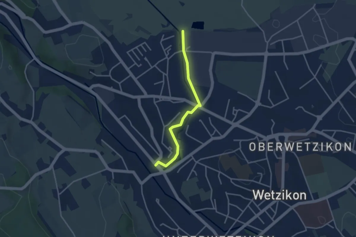
Easy · Trail
Medikon - Wetzikon
3.1 km · ↑ 41 m · 49 min · 15 km away
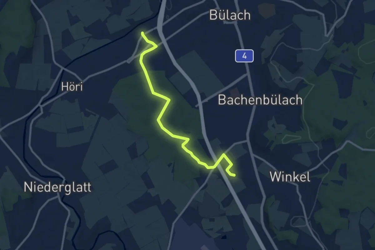
Easy · Trail
Medikon - Robenhausen
2.6 km · ↑ 21 m · 40 min · 15 km away
Medium · Trail
Jakobstal – Römischer Gutshof
8.2 km · ↑ 81 m · 2 h 6 min · 15 km away
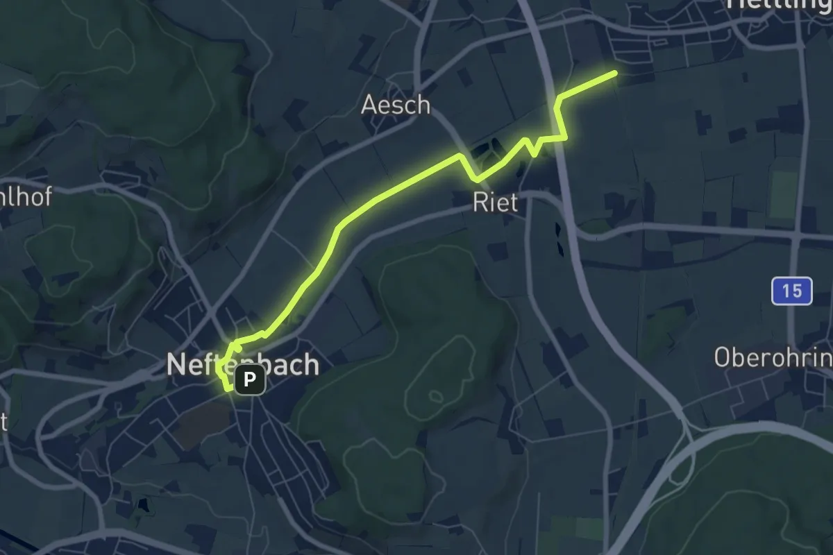
Easy · Trail
Neftenbach – Bahnhof Hettlingen
7.3 km · ↑ 22 m · 1 h 47 min · 15 km away
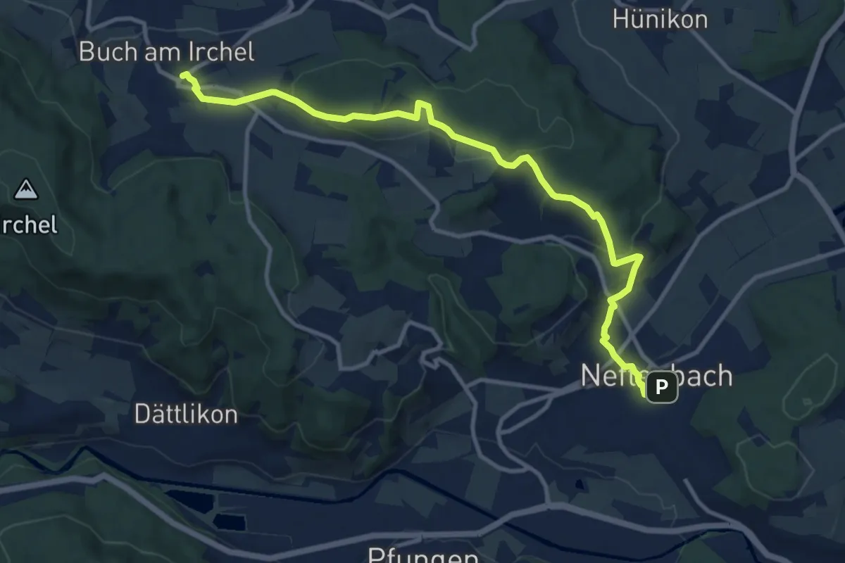
Medium · Trail
Neftenbach – Ober Buch am Irchel
11.5 km · ↑ 341 m · 3 h 28 min · 15 km away
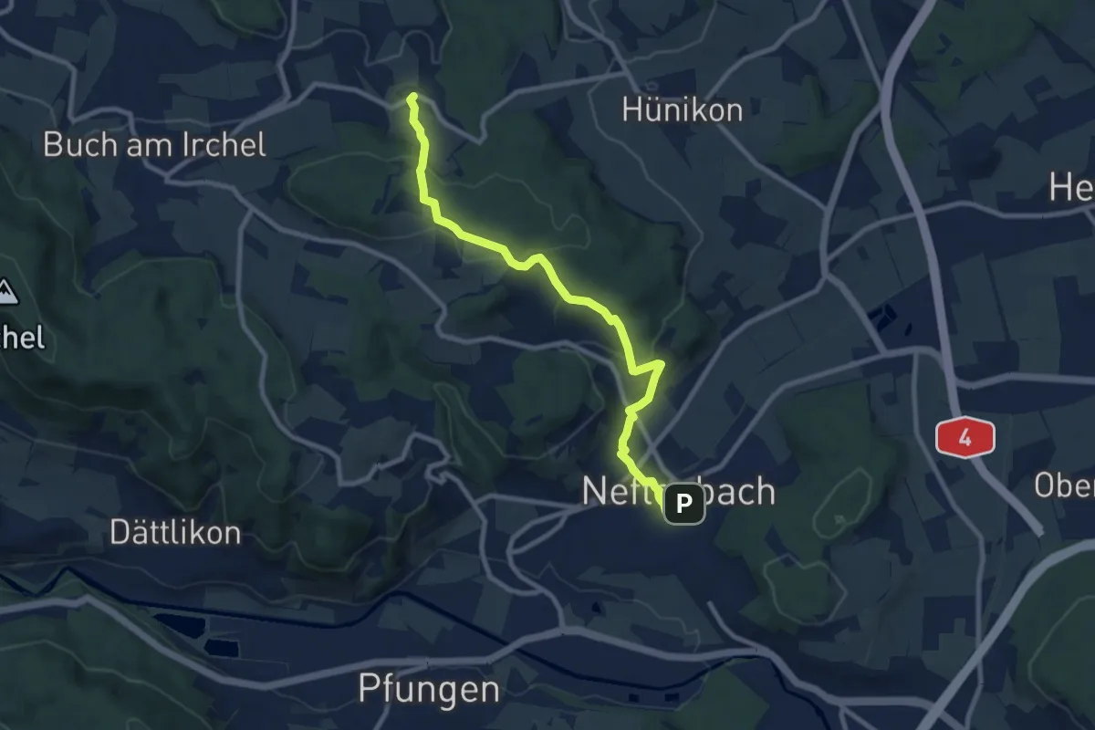
Medium · Trail
Neftenbach - Desibach
9.0 km · ↑ 299 m · 2 h 46 min · 15 km away
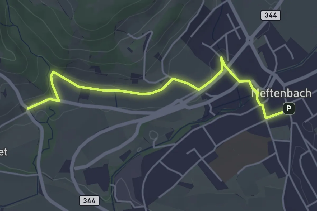
Easy · Trail
Museum – Neftenbach
4.1 km · ↑ 94 m · 1 h 11 min · 15 km away
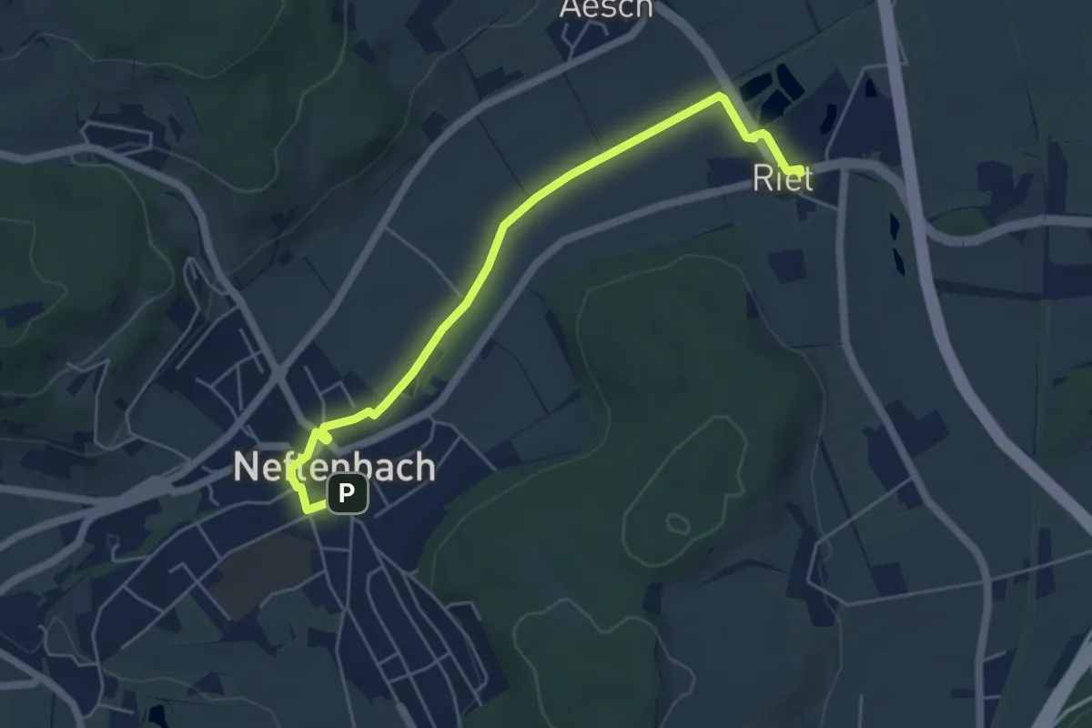
Easy · Trail
Riet – Neftenbach
5.3 km · ↑ 9 m · 1 h 16 min · 15 km away