Trails near Effretikon
591 hikes starting within 15 km, nearest first.
Nearest first, page 12 of 13
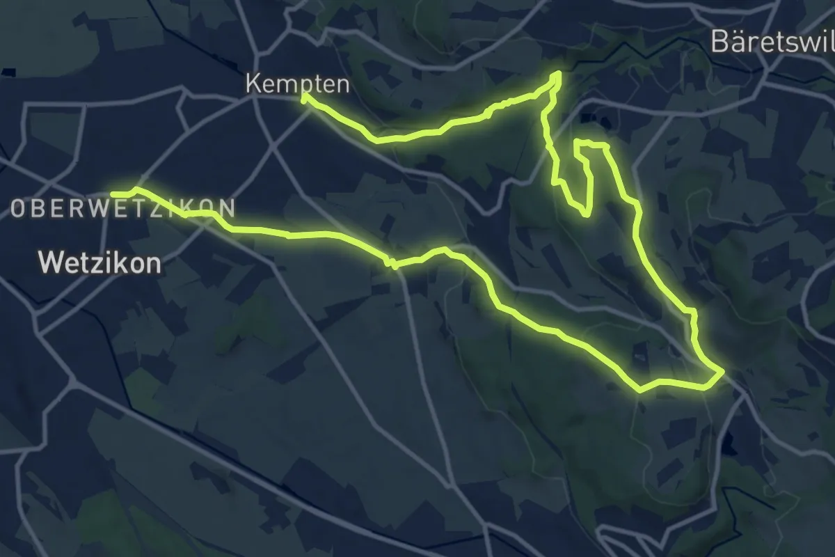
Medium · Trail
Rundweg Chämtnertobel
10.5 km · ↑ 265 m · 3 h 12 min · 14 km away
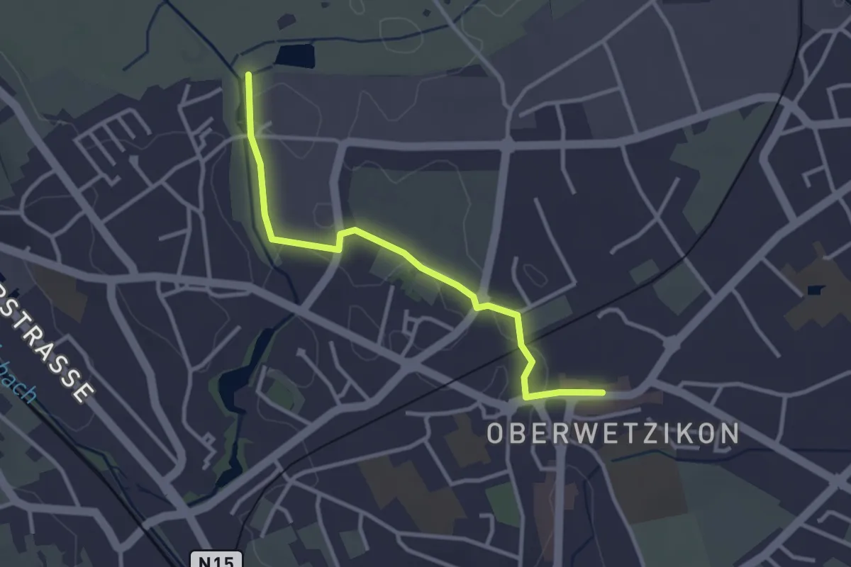
Easy · Trail
Oberwetzikon - Robenhausen
3.0 km · ↑ 8 m · 44 min · 14 km away
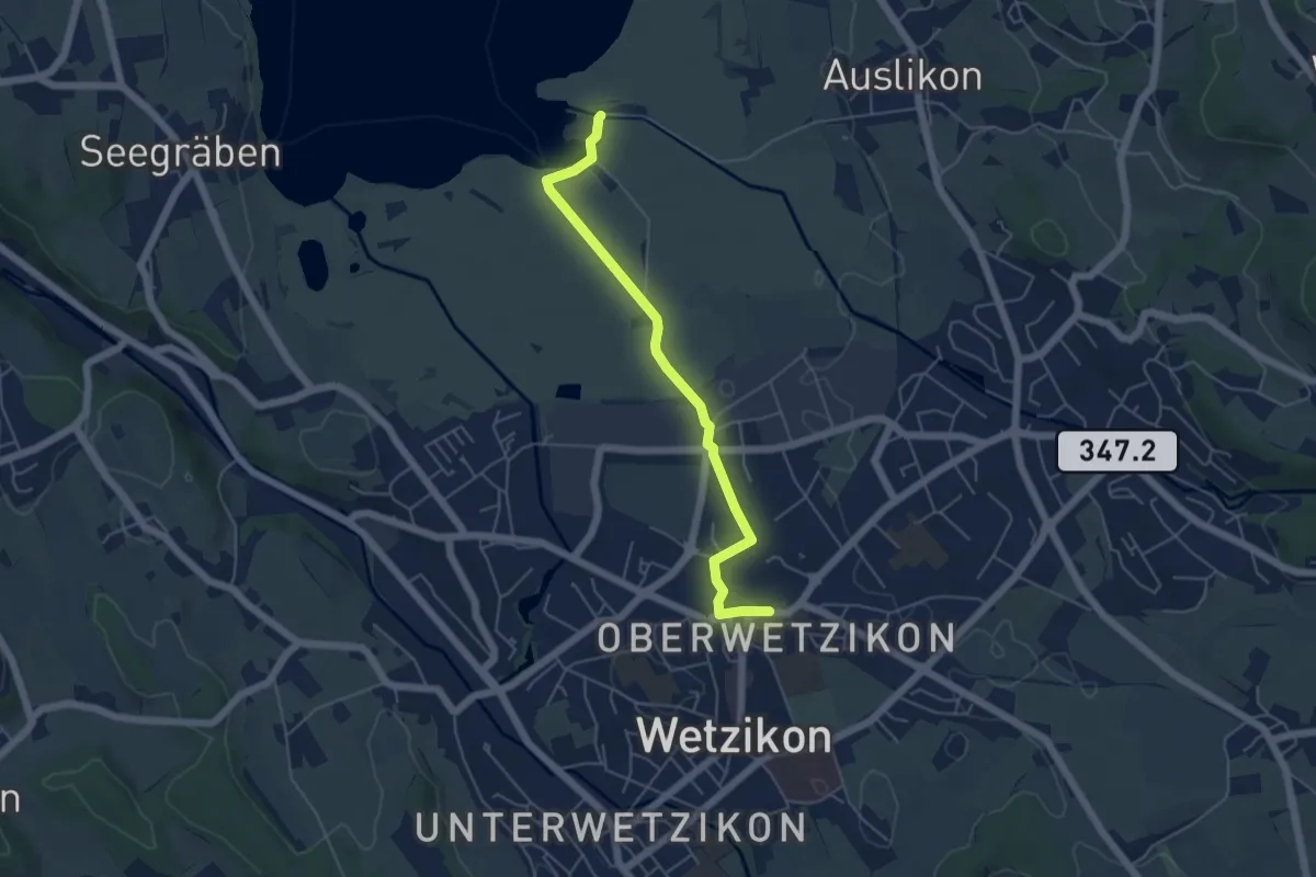
Easy · Trail
Oberwetzikon – Auslikon Strandbad
5.0 km · ↑ 8 m · 1 h 12 min · 14 km away
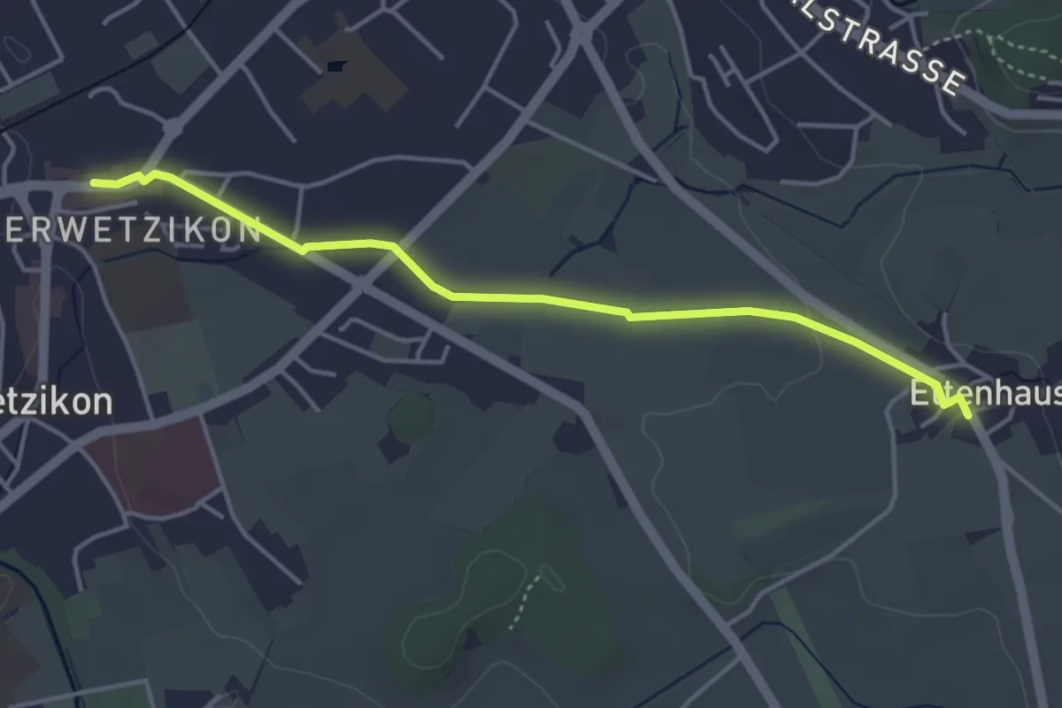
Easy · Trail
Oberwetzikon - Ettenhausen
4.1 km · ↑ 22 m · 1 h 1 min · 14 km away
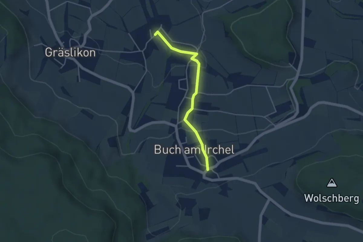
Easy · Trail
Ober Buch am Irchel – Wiler
3.2 km · ↑ 102 m · 59 min · 14 km away
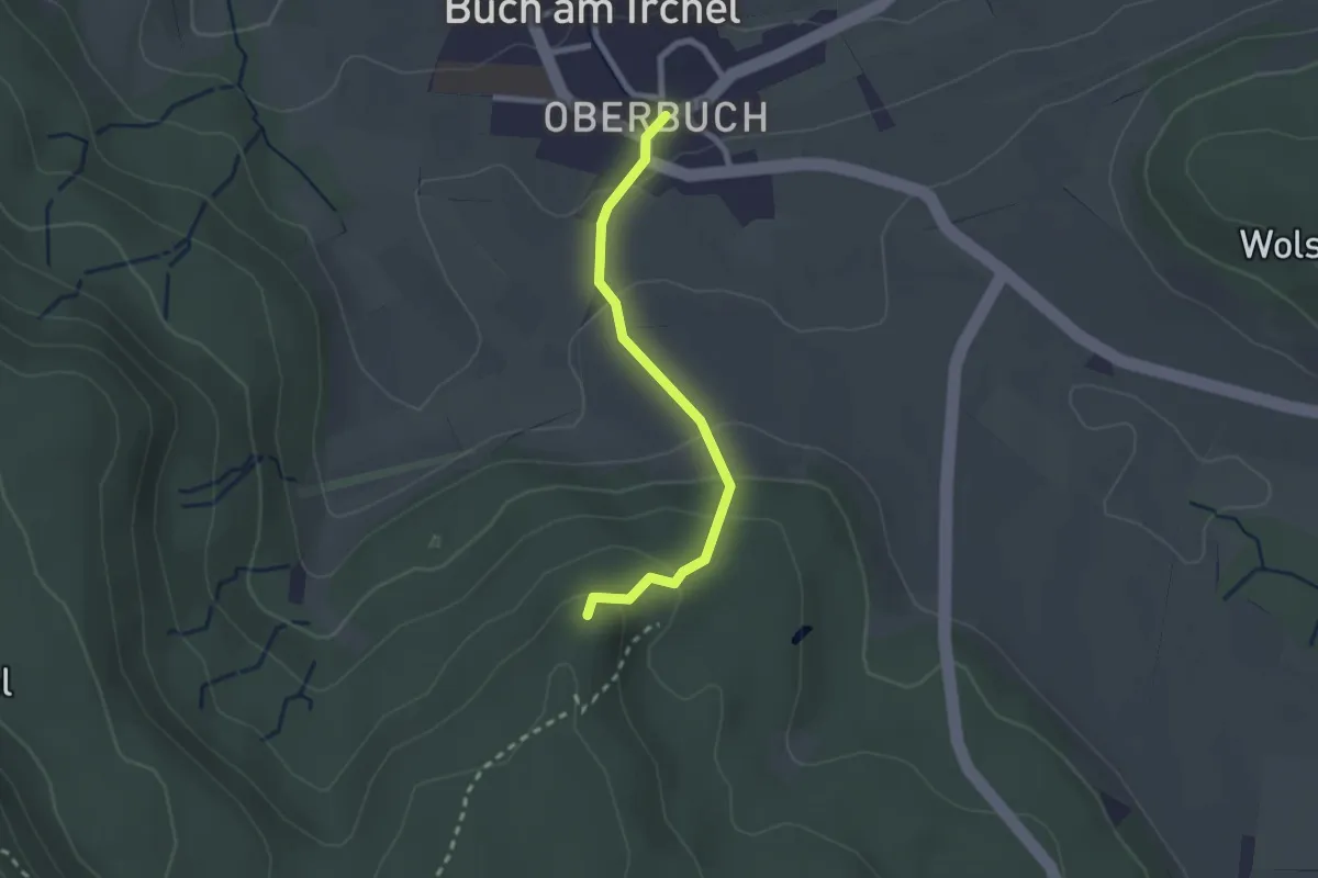
Easy · Trail
Heerenbänkli Irchelturm – Ober Buch am Irchel
2.2 km · ↑ 120 m · 46 min · 14 km away
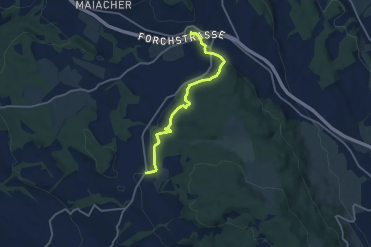
Easy · Trail
Rütihof – Forch
7.2 km · ↑ 229 m · 2 h 12 min · 14 km away
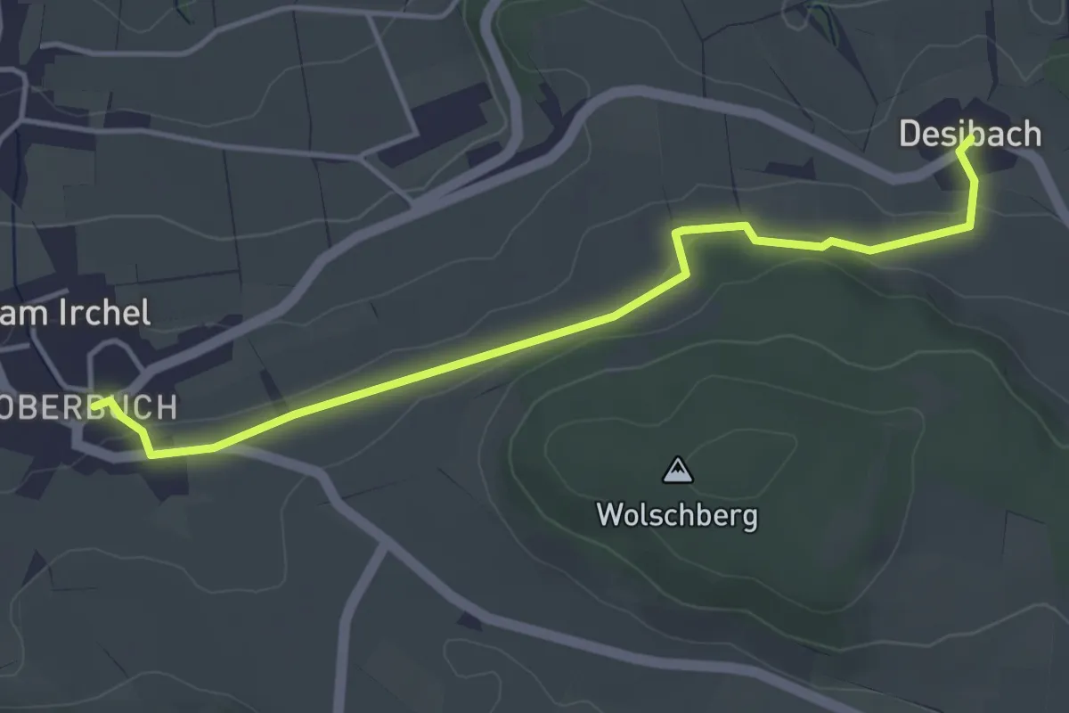
Easy · Trail
Desibach – Ober Buch am Irchel
4.1 km · ↑ 90 m · 1 h 10 min · 14 km away
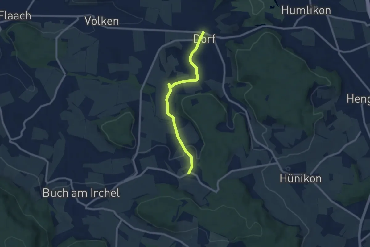
Easy · Trail
Desibach - Dorf
5.9 km · ↑ 155 m · 1 h 44 min · 14 km away
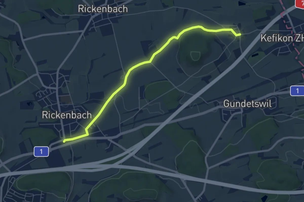
Easy · Trail
Bahnhof Rickenbach-Attikon – Menzengrüt
6.7 km · ↑ 71 m · 1 h 44 min · 14 km away
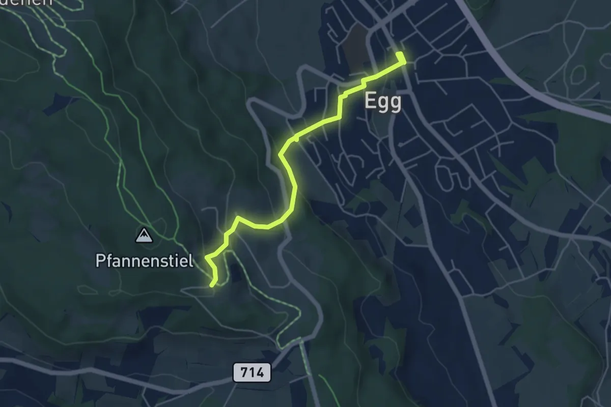
Easy · Trail
Egg – Pfannenstiel Hochwacht
4.4 km · ↑ 256 m · 1 h 36 min · 14 km away
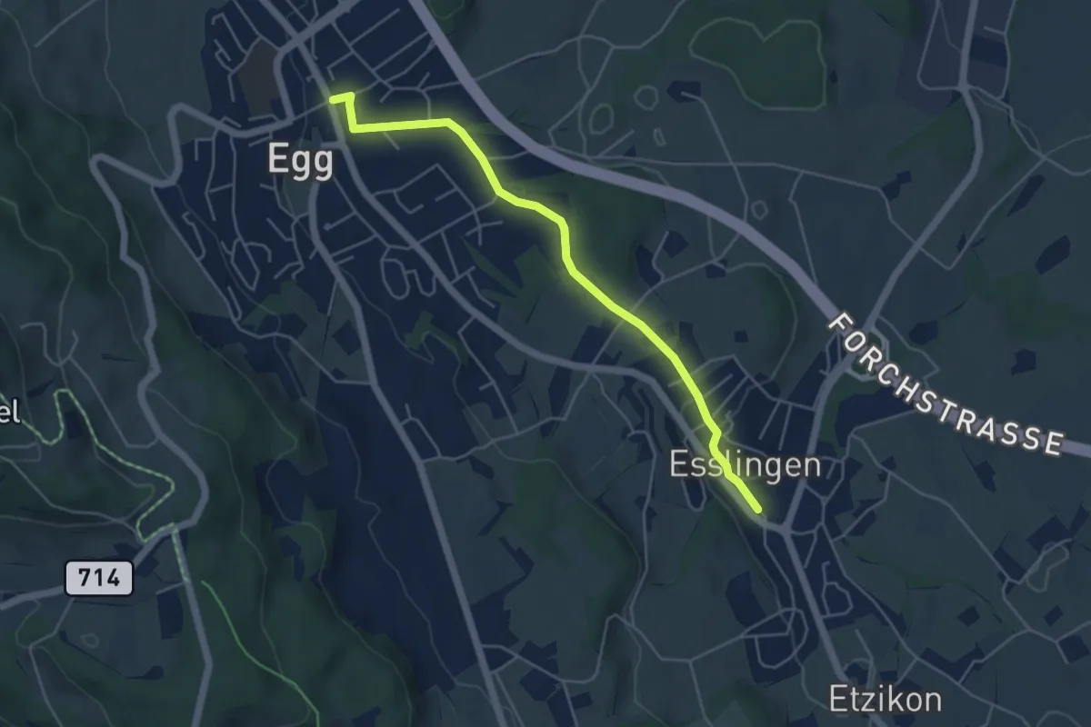
Easy · Trail
Egg – Esslingen
4.8 km · ↑ 66 m · 1 h 17 min · 14 km away
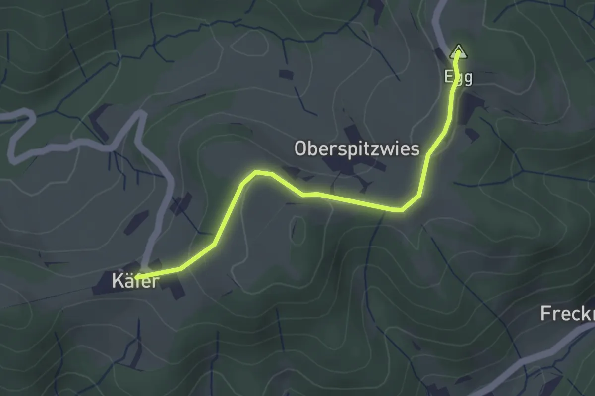
Easy · Summit
Büel – Chäfer
2.7 km · ↑ 65 m · 47 min · 14 km away
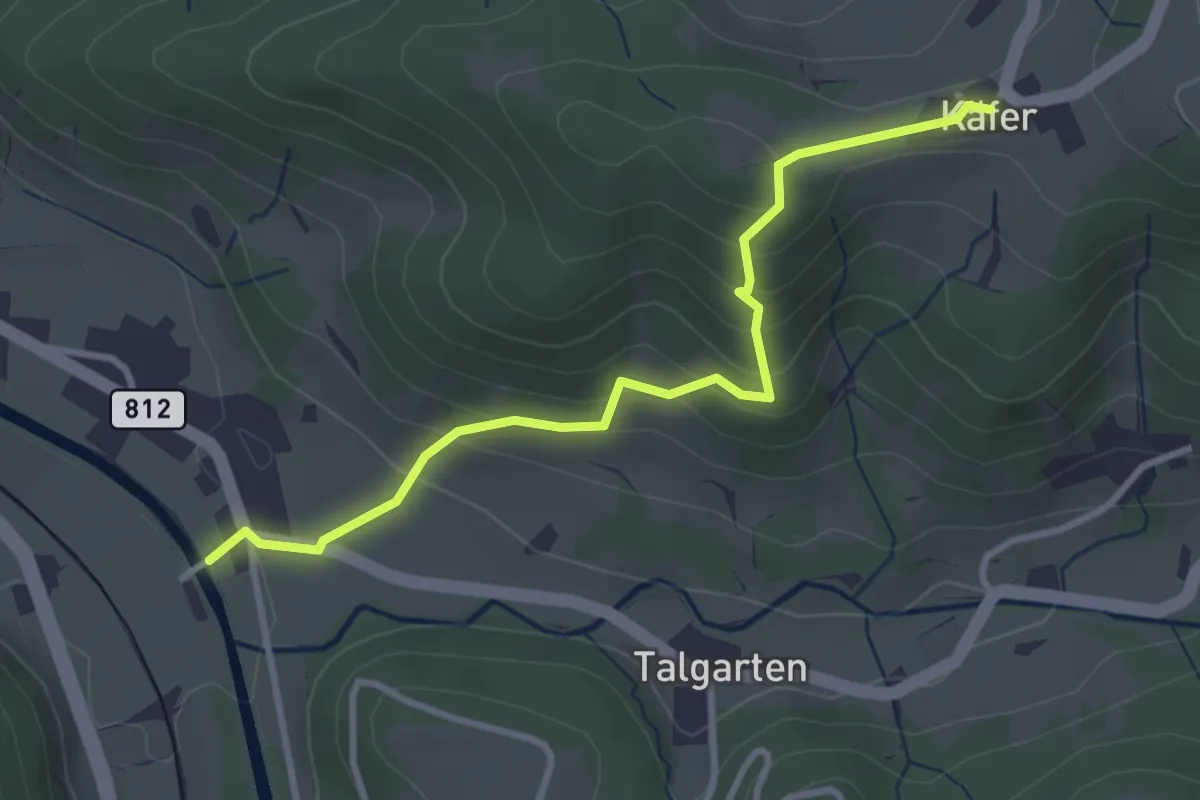
Easy · Trail
Tablat – Chäfer
3.2 km · ↑ 227 m · 1 h 16 min · 14 km away
Demanding · Trail
Zürichsee Rundweg - Etappe 10
21.9 km · ↑ 333 m · 5 h 53 min · 14 km away
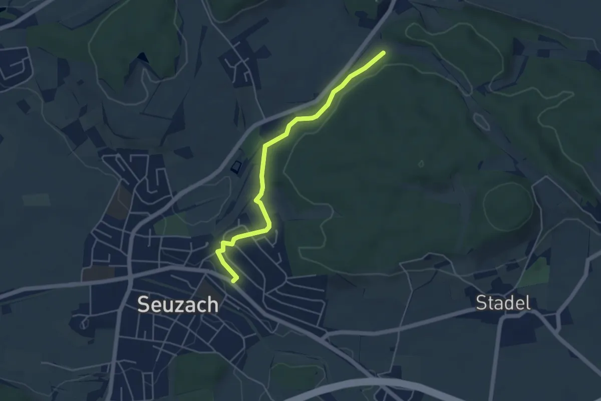
Easy · Trail
Bahnhof Seuzach – Herrenhalden
4.4 km · ↑ 46 m · 1 h 8 min · 14 km away
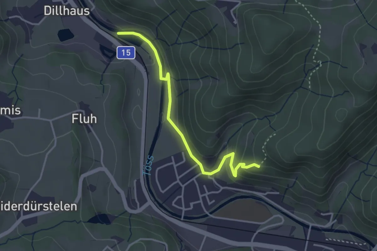
Easy · Trail
Rittwegweiher – Ruine Altlandenberg
3.3 km · ↑ 115 m · 1 h 1 min · 14 km away
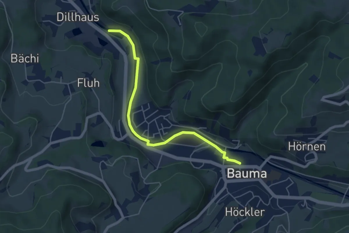
Easy · Trail
Bauma Bhf. – Rittwegweiher
4.6 km · ↑ 41 m · 1 h 11 min · 14 km away
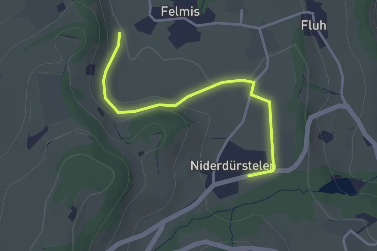
Easy · Trail
Niederdürstelen - Fälmis
2.5 km · ↑ 56 m · 42 min · 14 km away
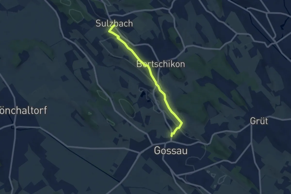
Easy · Trail
Sulzbach – Gossau
5.6 km · ↑ 90 m · 1 h 31 min · 14 km away
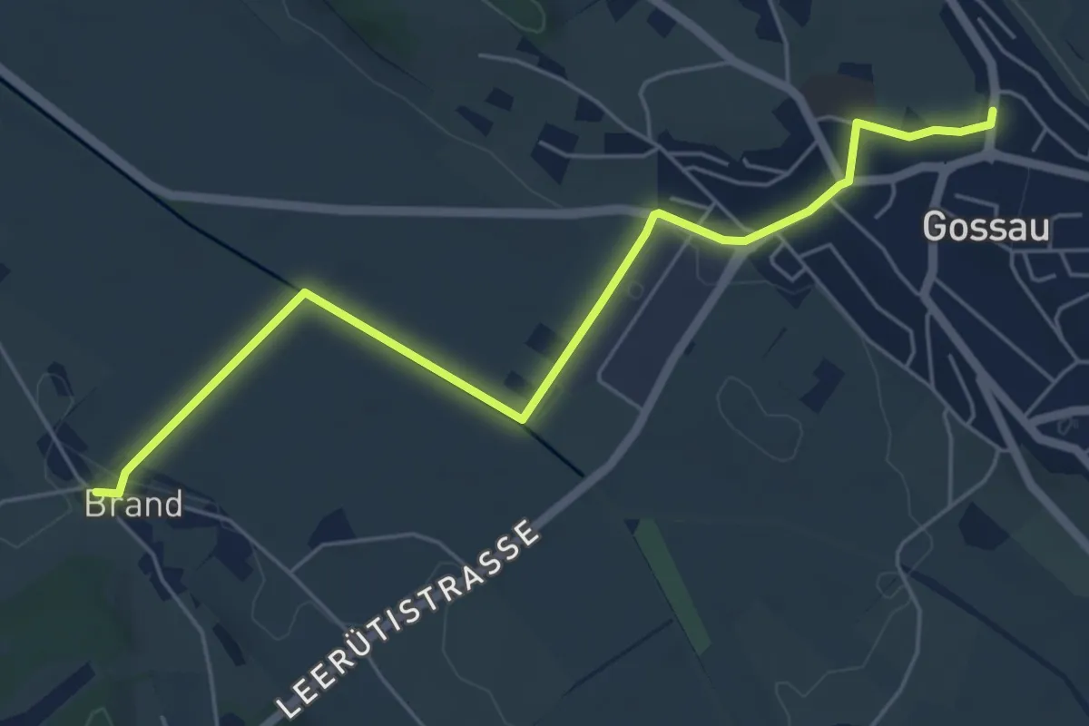
Easy · Trail
Brand – Gossau
5.8 km · ↑ 36 m · 1 h 27 min · 14 km away
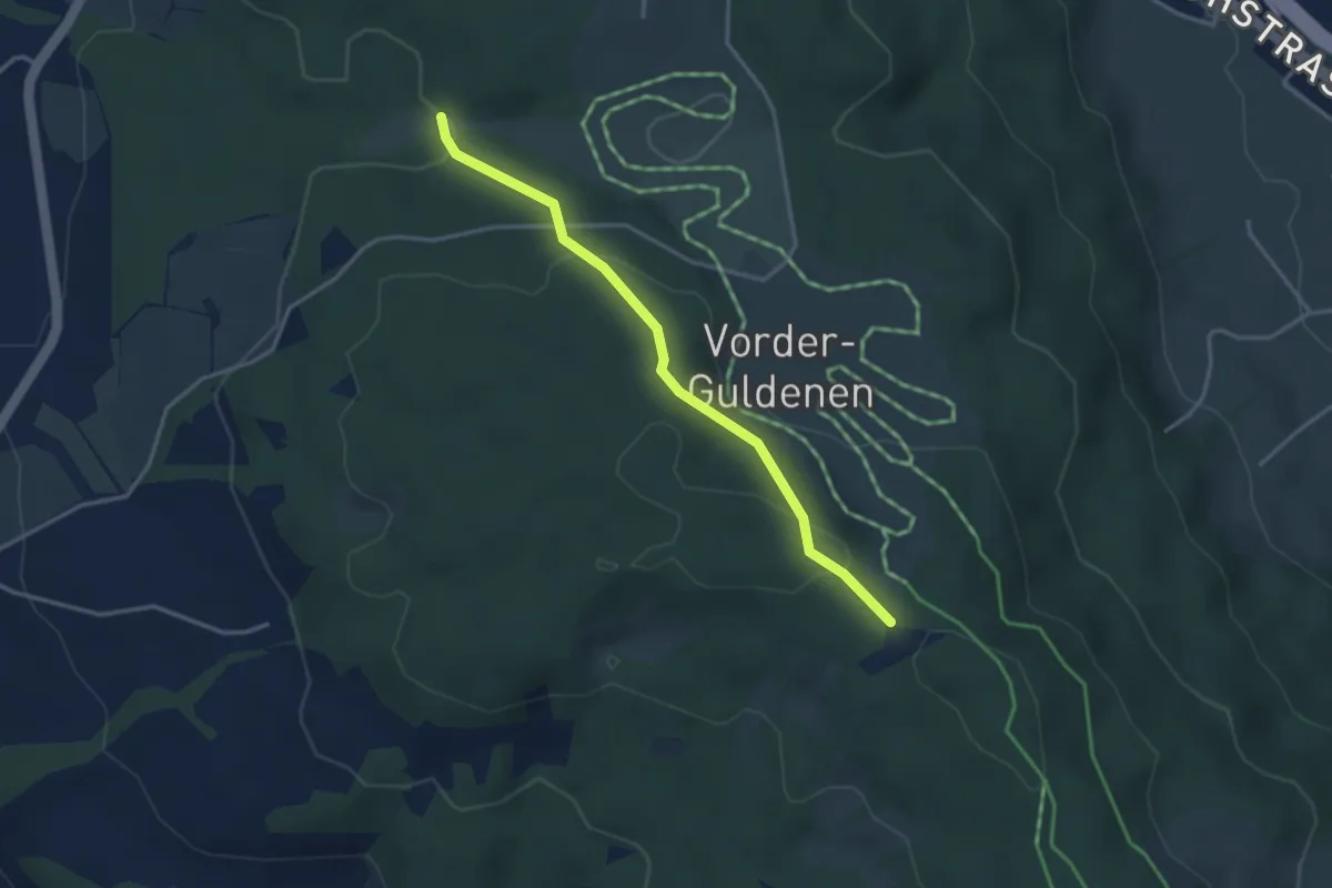
Easy · Trail
Chüelenmorgen – Guldener Höchi
3.3 km · ↑ 119 m · 1 h 2 min · 14 km away
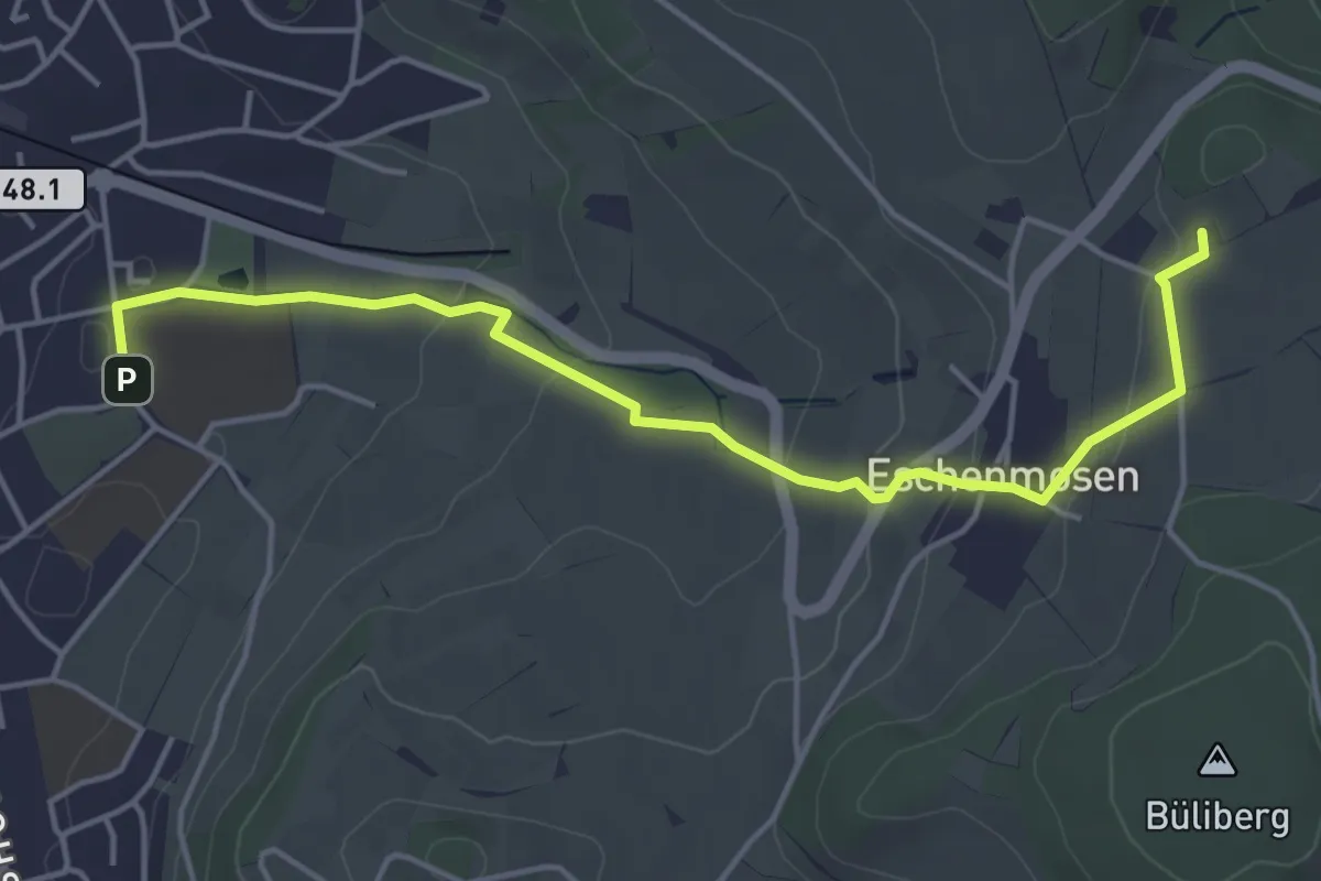
Easy · Trail
Planetenweg Bülach
4.9 km · ↑ 120 m · 1 h 25 min · 14 km away
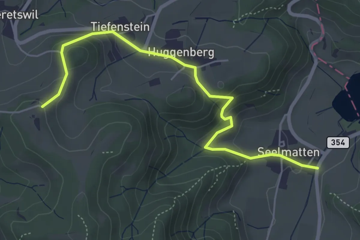
Easy · Trail
Seelmatten – Hüttstall
5.2 km · ↑ 227 m · 1 h 44 min · 15 km away
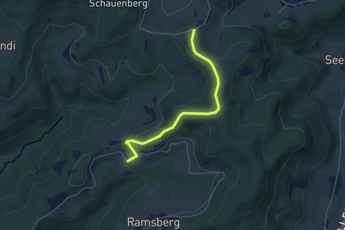
Easy · Trail
Hüttstall – Schnurrberg
3.9 km · ↑ 147 m · 1 h 14 min · 15 km away
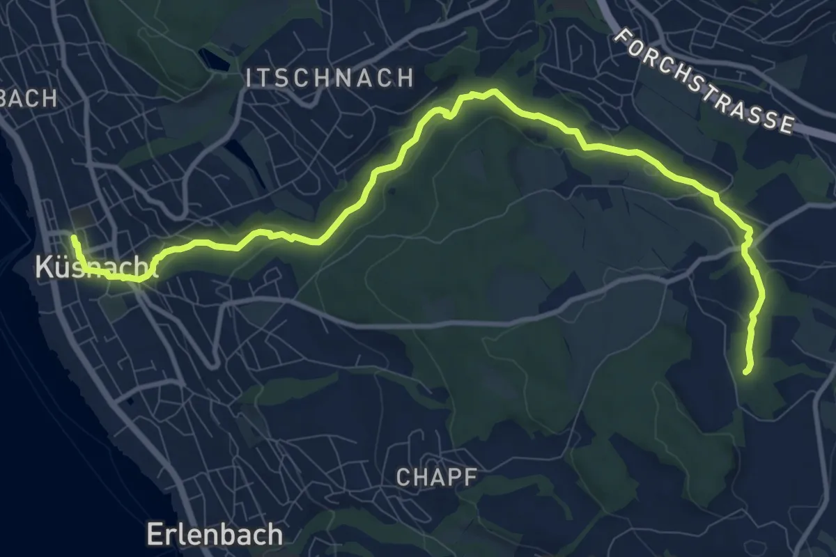
Medium · Trail
Erlenbach Küsnacht Tobelweg
11.9 km · ↑ 300 m · 3 h 27 min · 15 km away
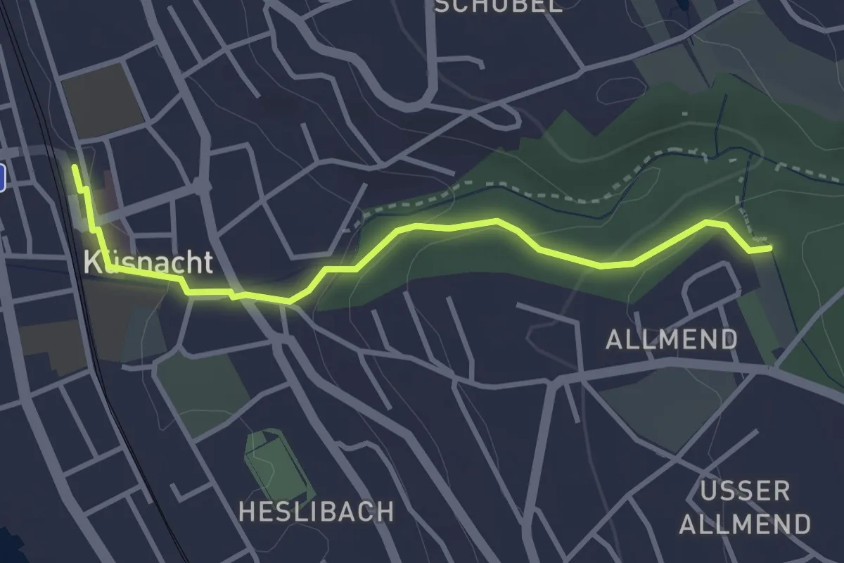
Easy · Trail
Küsnacht – Küsnachter Tobel
3.1 km · ↑ 106 m · 57 min · 15 km away
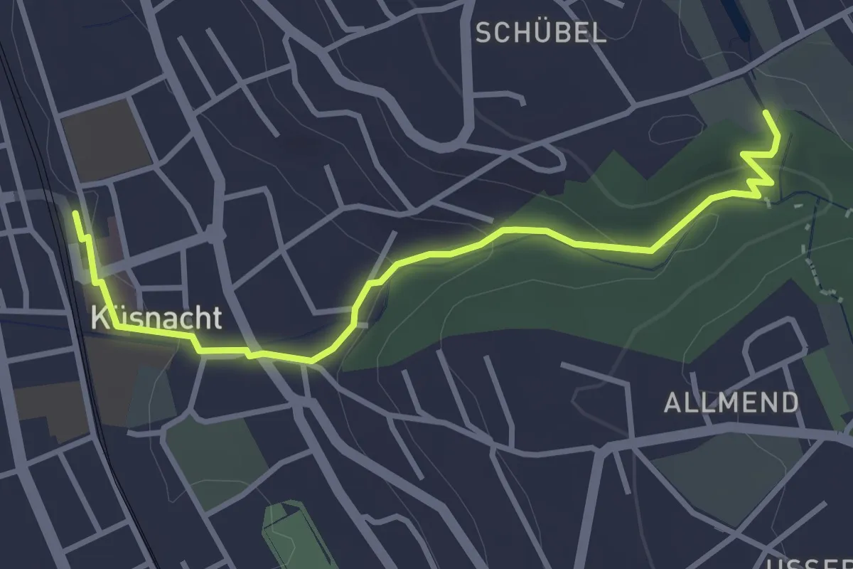
Easy · Trail
Küsnacht – Schübelweiher
3.3 km · ↑ 95 m · 1 h · 15 km away
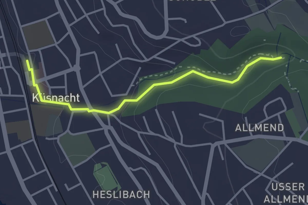
Easy · Trail
Küsnacht – Küsnacht Dorfbach
2.9 km · ↑ 92 m · 53 min · 15 km away
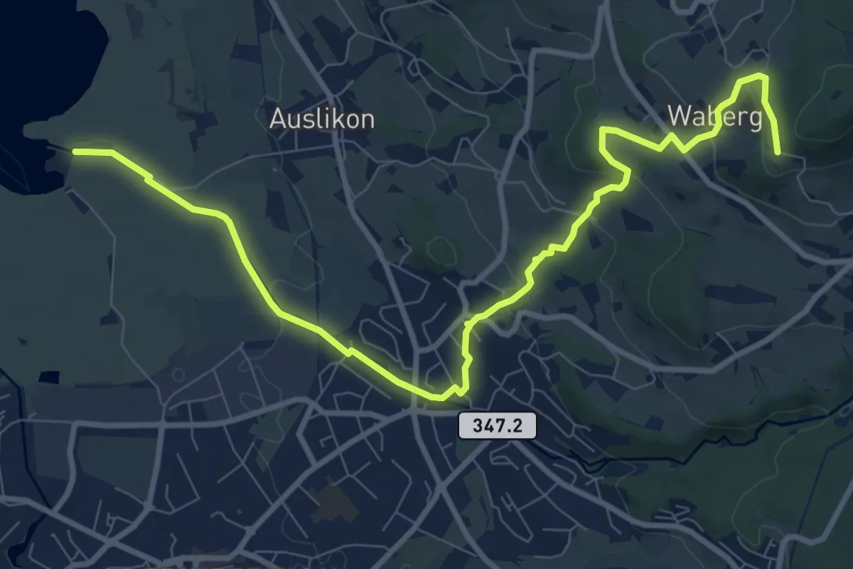
Medium · Trail
Strandbad Auslikon – Rosinli
10.7 km · ↑ 274 m · 3 h 7 min · 15 km away
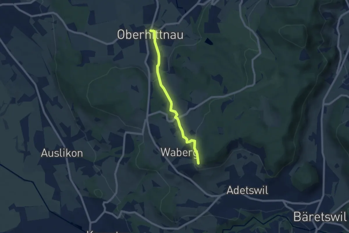
Easy · Trail
Oberhittnau - Rosinli
4.8 km · ↑ 149 m · 1 h 27 min · 15 km away
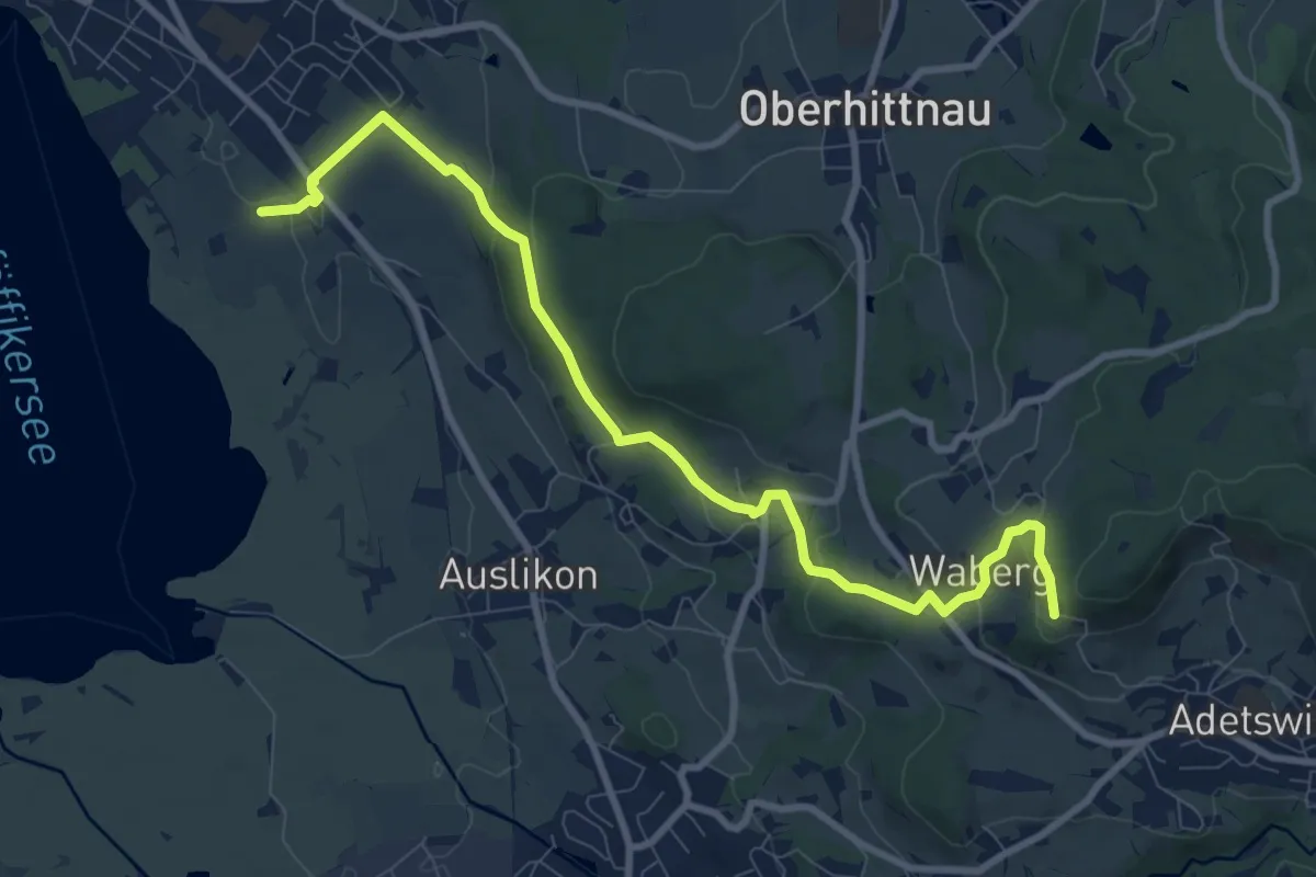
Medium · Trail
Römerkastell – Rosinli
9.9 km · ↑ 285 m · 2 h 57 min · 15 km away
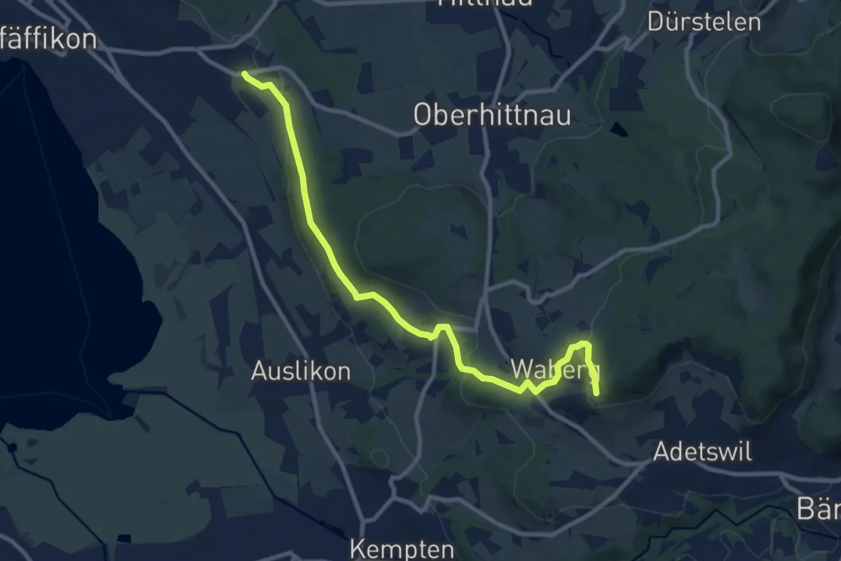
Medium · Trail
Oberwil - Rosinli
8.9 km · ↑ 244 m · 2 h 38 min · 15 km away
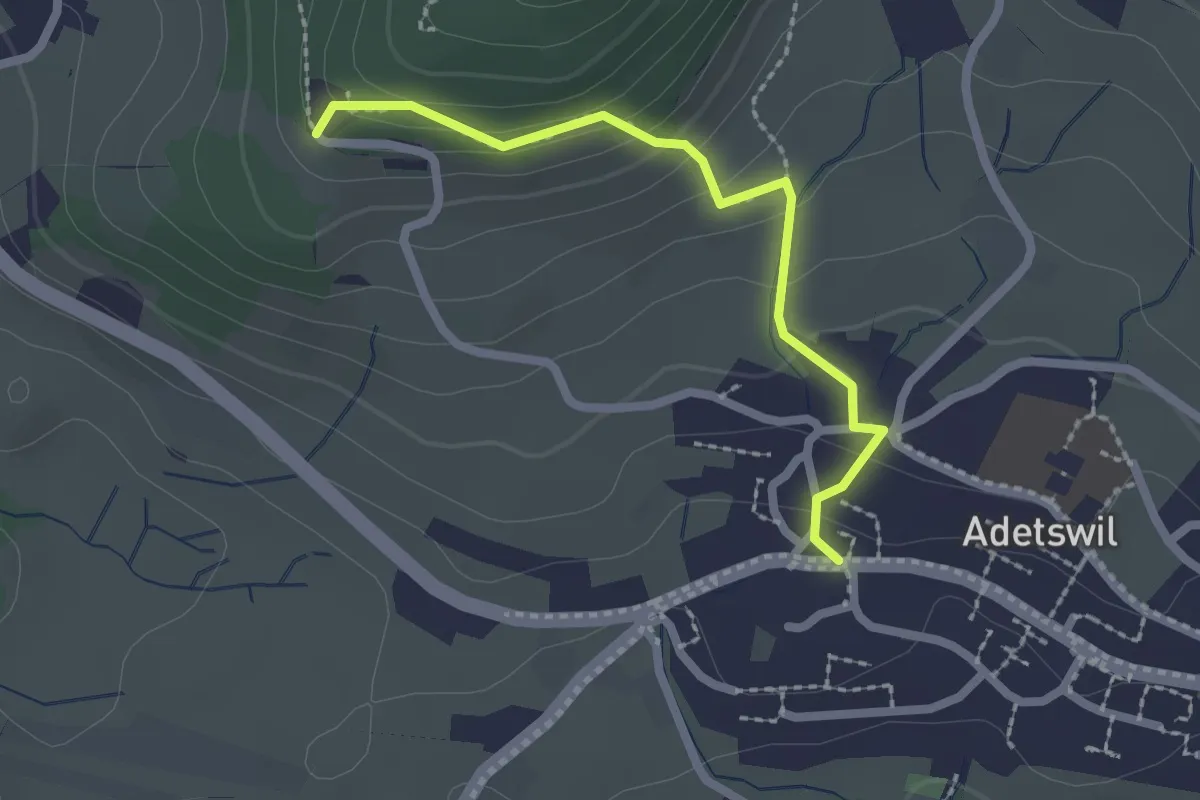
Easy · Trail
Adetswil - Rosinli
2.1 km · ↑ 129 m · 47 min · 15 km away
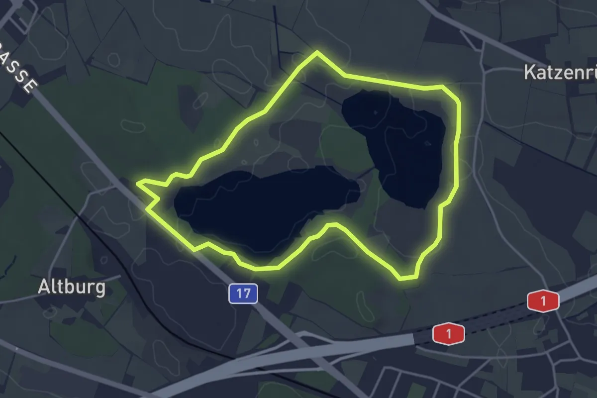
Easy · Trail
Seerundweg
3.8 km · ↑ 31 m · 1 h 2 min · 15 km away
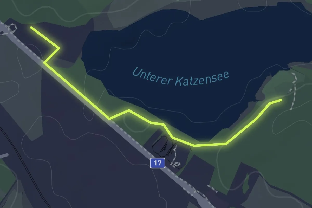
Easy · Trail
Chatzensee Strandbad - Gut Katzensee
2.0 km · ↑ 9 m · 29 min · 15 km away
Medium · Trail
Wetzikon - Sulzbach
9.8 km · ↑ 179 m · 2 h 42 min · 15 km away
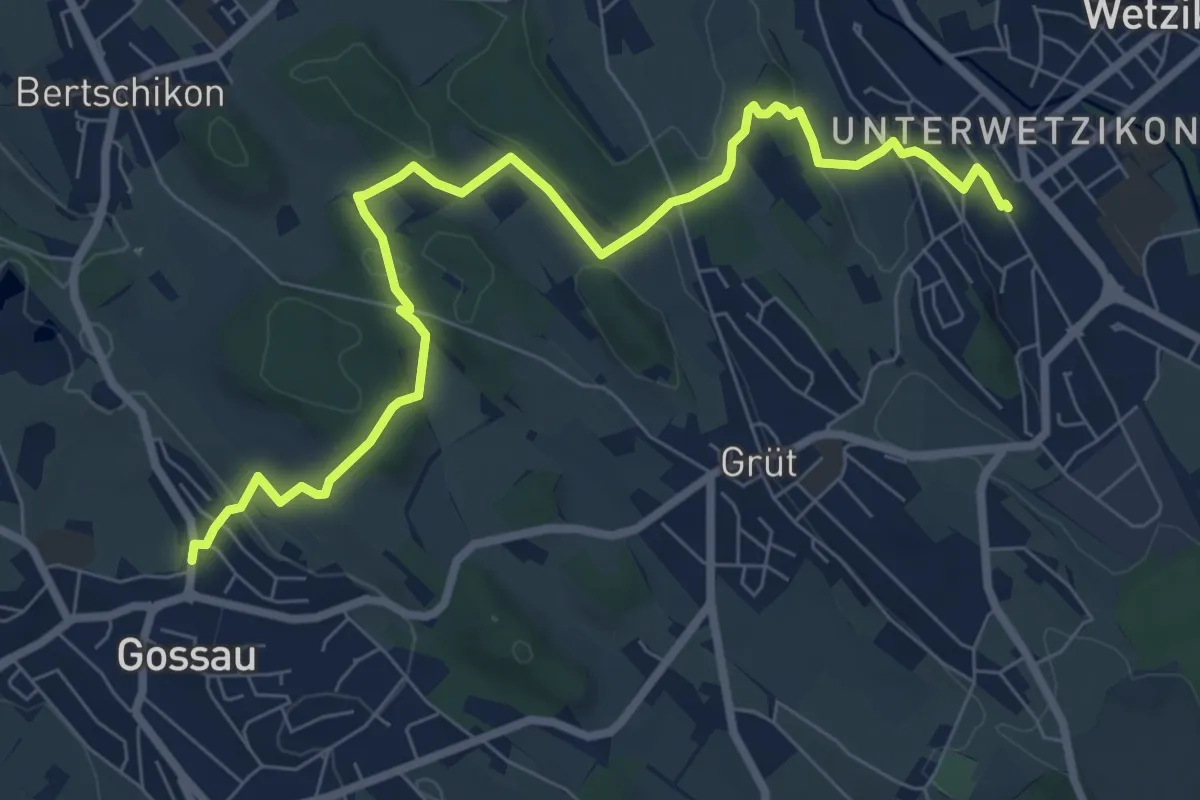
Medium · Trail
Gossau – Wetzikon
8.6 km · ↑ 221 m · 2 h 31 min · 15 km away
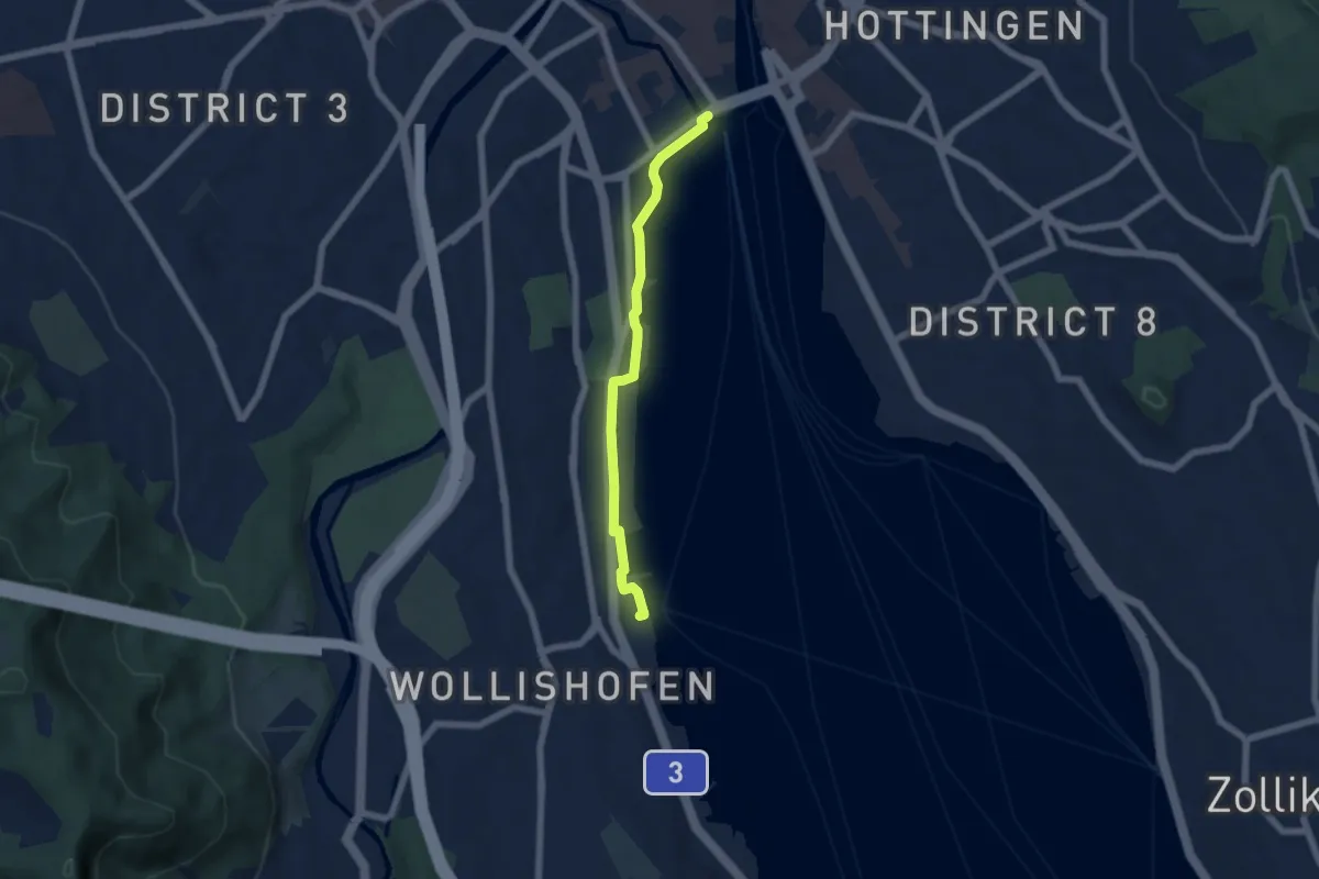
Easy · Trail
Bürkliplatz – Wollishofen (Schiff)
5.3 km · ↑ 23 m · 1 h 18 min · 15 km away
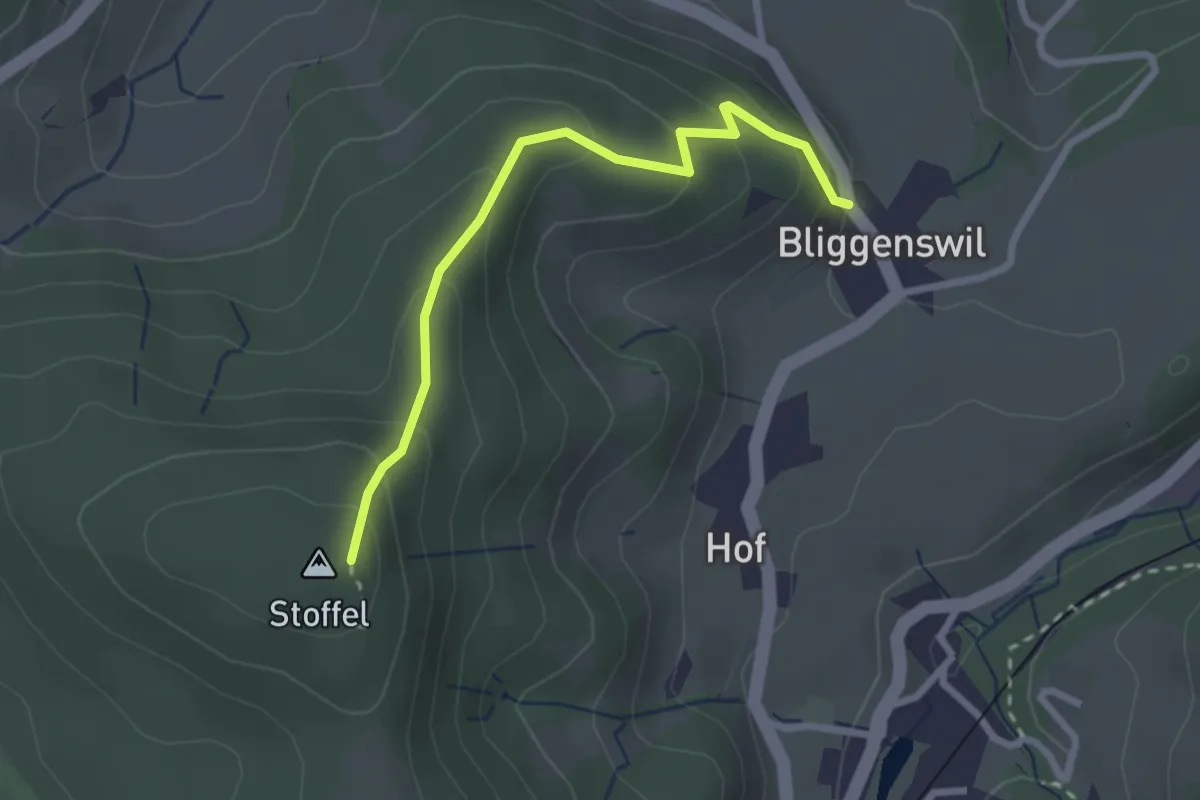
Easy · Trail
Bliggenswil - Stoffel
2.5 km · ↑ 202 m · 1 h 2 min · 15 km away
Easy · Trail
Grabenriet - Pulten
2.1 km · ↑ 45 m · 35 min · 15 km away
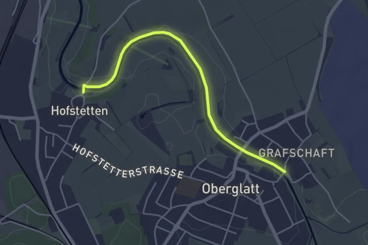
Easy · Trail
Oberglatt Brücke - Hofstetten
3.9 km · ↑ 8 m · 56 min · 15 km away
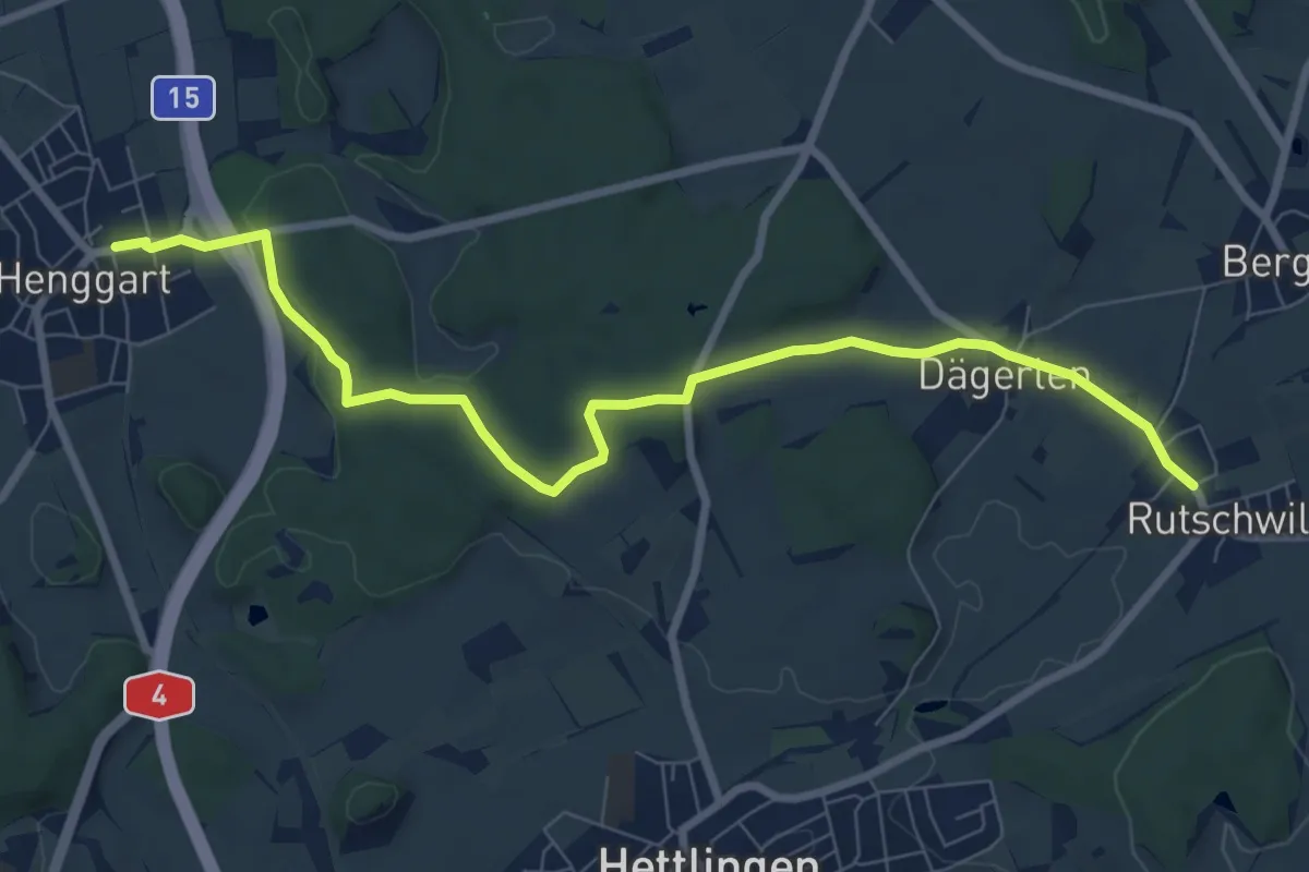
Medium · Trail
Henggart – Rutschwil
8.7 km · ↑ 130 m · 2 h 20 min · 15 km away
Easy · Trail
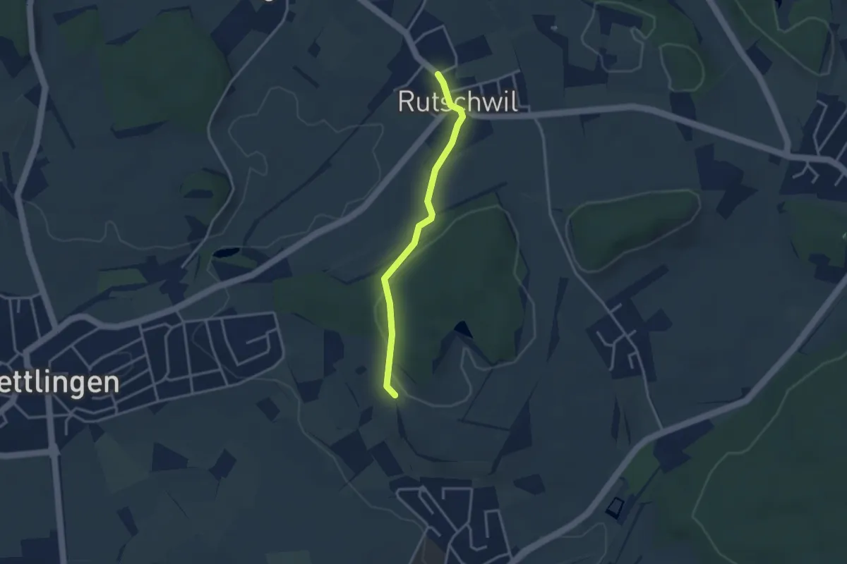
Heimenstein – Rutschwil
2.8 km · ↑ 63 m · 48 min · 15 km away
Easy · Trail
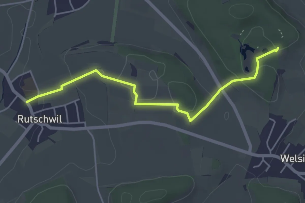
Gurisee Rutschwil
4.0 km · ↑ 74 m · 1 h 7 min · 15 km away
Easy · Trail
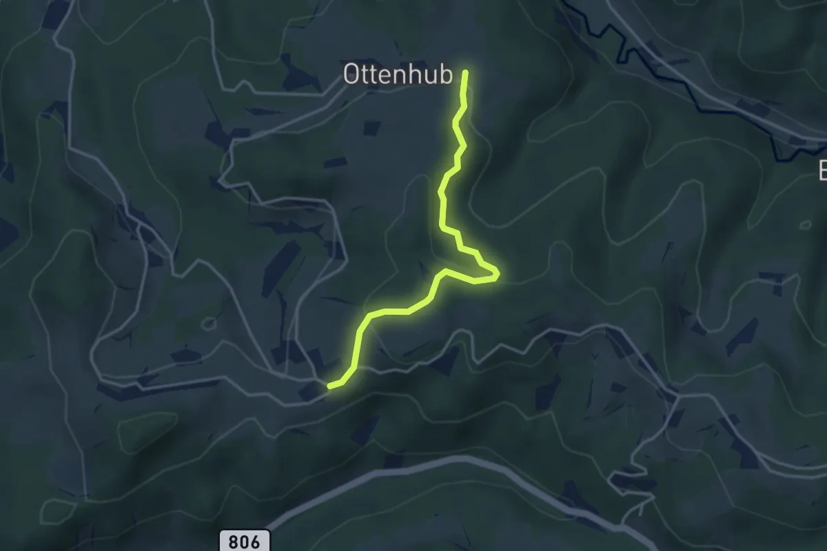
Ottenhueb – Manzenhueb
3.2 km · ↑ 142 m · 1 h 3 min · 15 km away
Easy · Summit
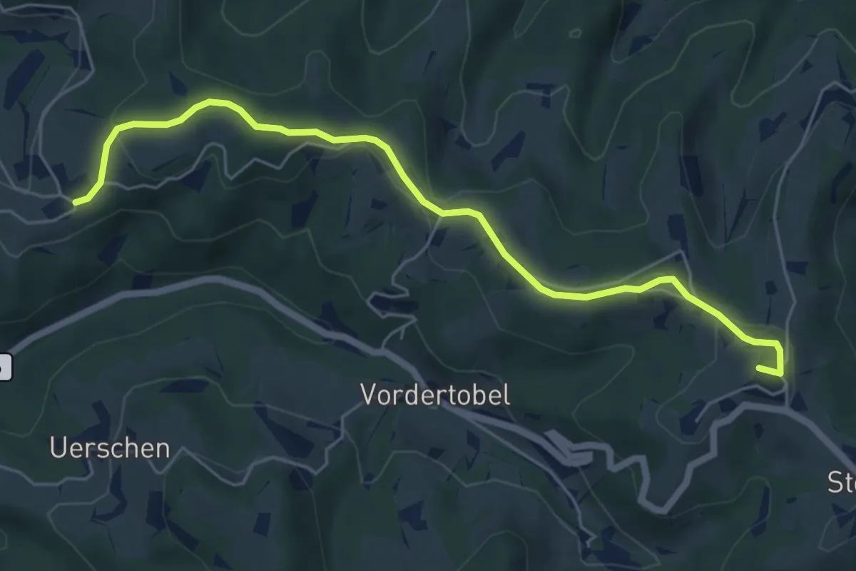
Sternenberg – Manzenhueb
5.7 km · ↑ 168 m · 1 h 43 min · 15 km away
Easy · Trail
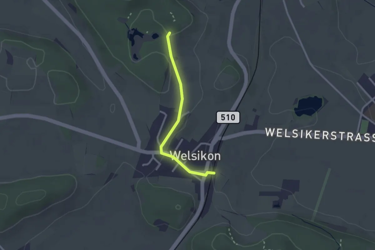
Dinhard – Gurisee
2.1 km · ↑ 39 m · 34 min · 15 km away