Trails near Ferney-Voltaire
72 hikes starting within 15 km, nearest first.
Nearest first, page 2 of 2
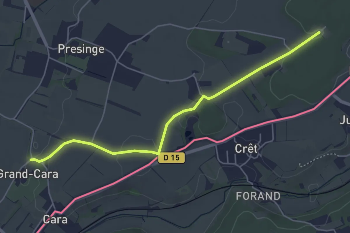
Easy · Trail
Grand Cara - Les Bois d'Ornaz
4.8 km · ↑ 41 m · 1 h 13 min · 12 km away
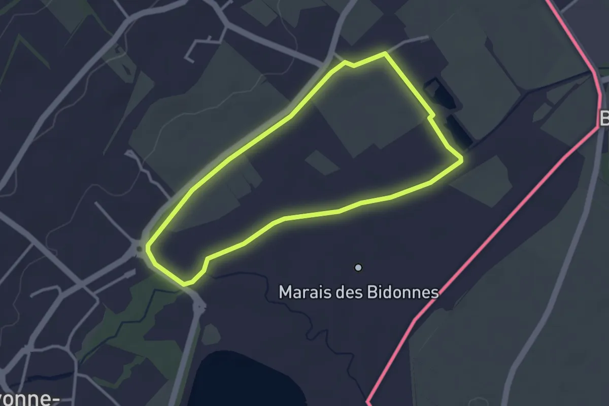
Easy · Trail
Marais des Bidonnes
2.9 km · ↑ 4 m · 44 min · 12 km away
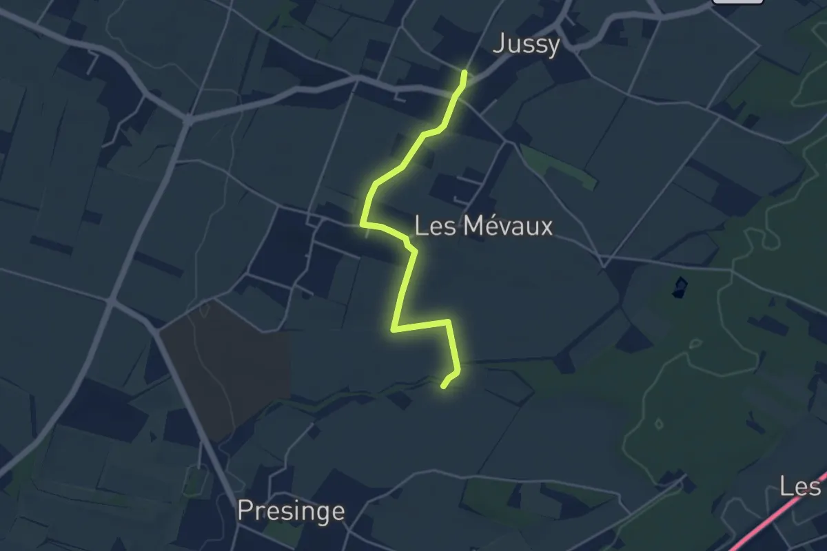
Easy · Trail
Jussy l'Eglise - Les Blessonniers
3.9 km · ↑ 21 m · 58 min · 12 km away
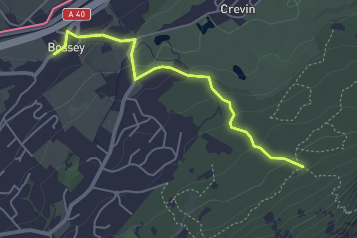
Easy · Trail
Liason Boissey - Sentier géologique
3.6 km · ↑ 146 m · 1 h 10 min · 12 km away
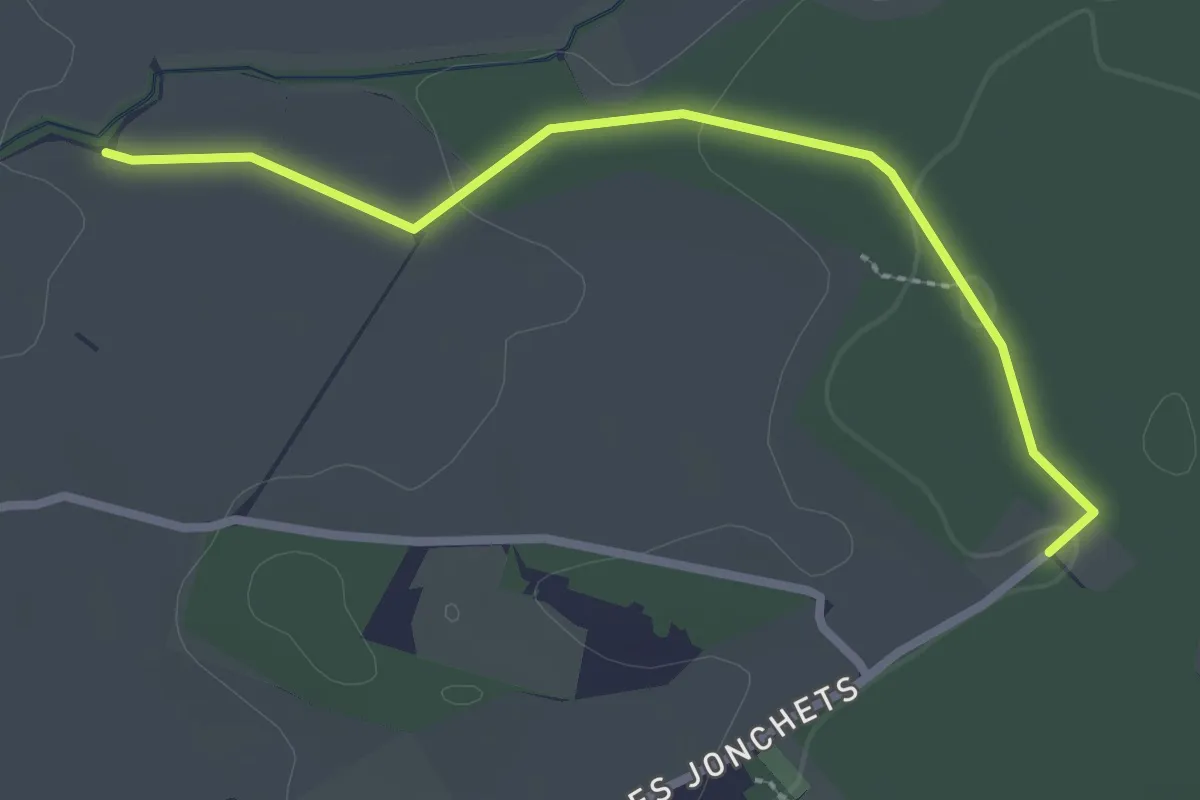
Easy · Trail
Les Blessonniers - Les Bois d'Ornaz
2.7 km · ↑ 33 m · 42 min · 12 km away
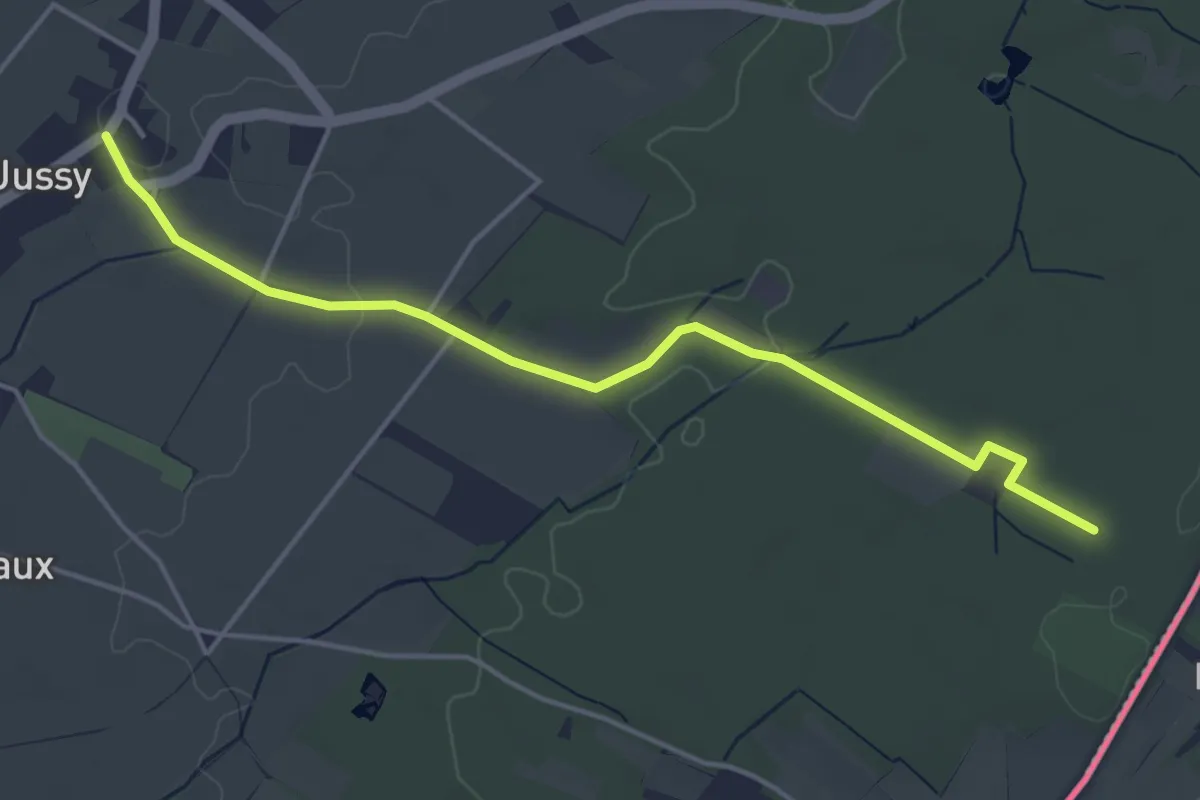
Easy · Trail
Jussy le Château - Les Grands Bois
4.7 km · ↑ 37 m · 1 h 11 min · 13 km away
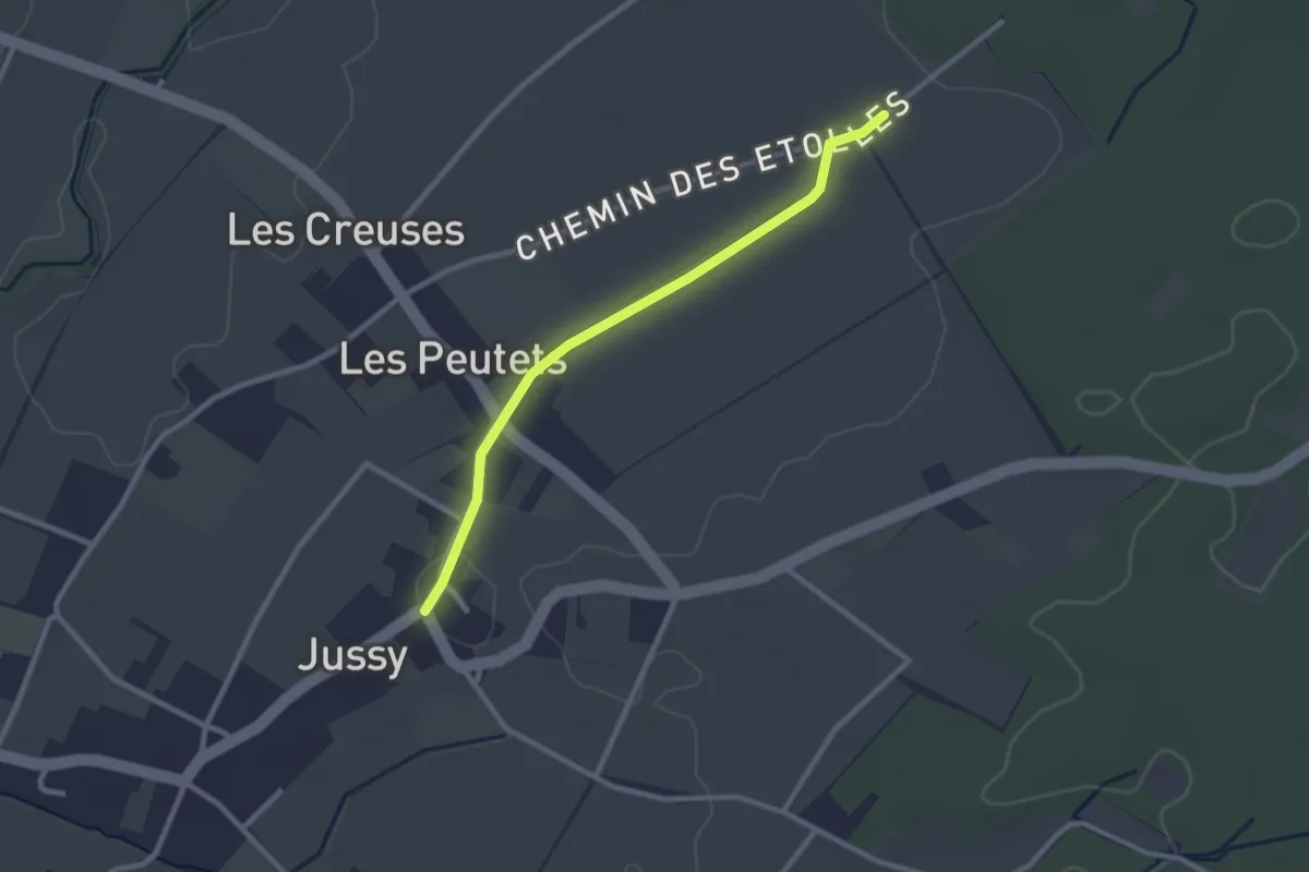
Easy · Trail
Jussy le Château - Les Longerayes
2.5 km · ↑ 4 m · 36 min · 13 km away
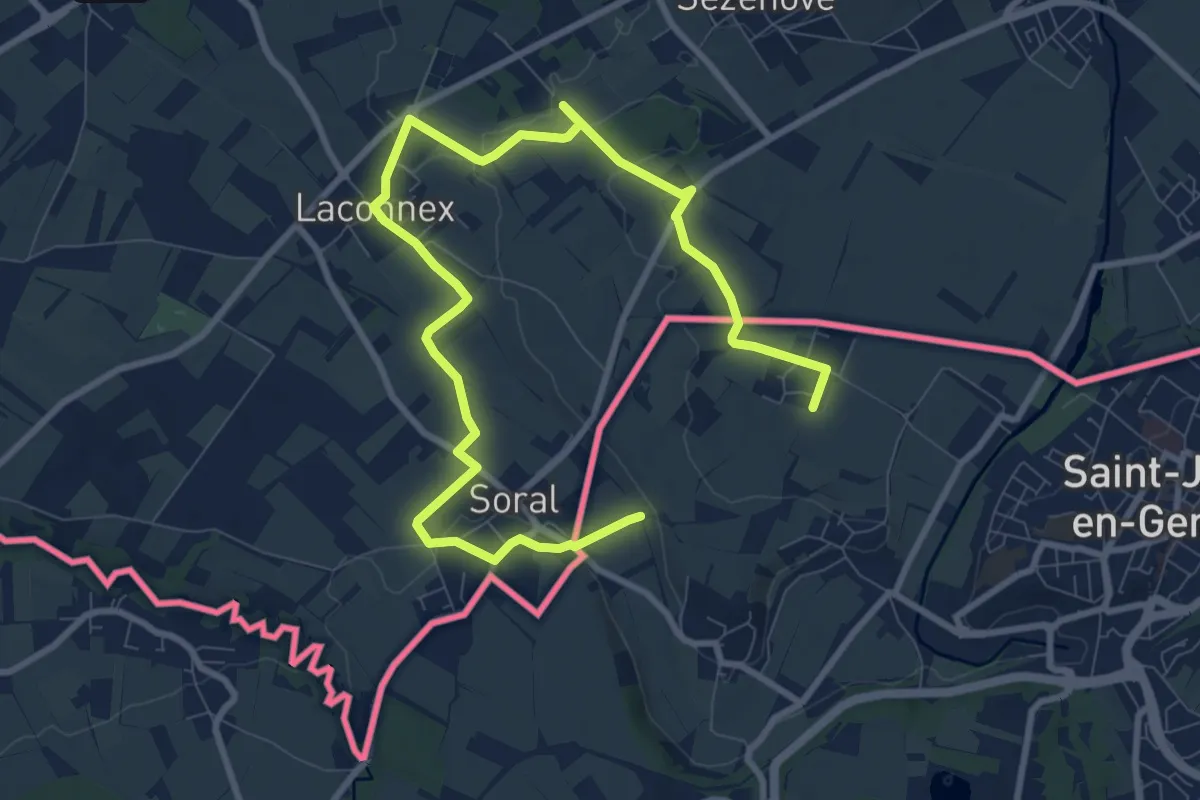
Medium · Trail
Paysages Franco-Suisses
12.7 km · ↑ 83 m · 3 h 11 min · 13 km away
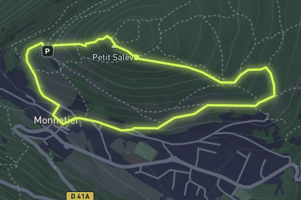
Easy · Summit
Balcon des Allobroges
3.2 km · ↑ 206 m · 1 h 15 min · 13 km away
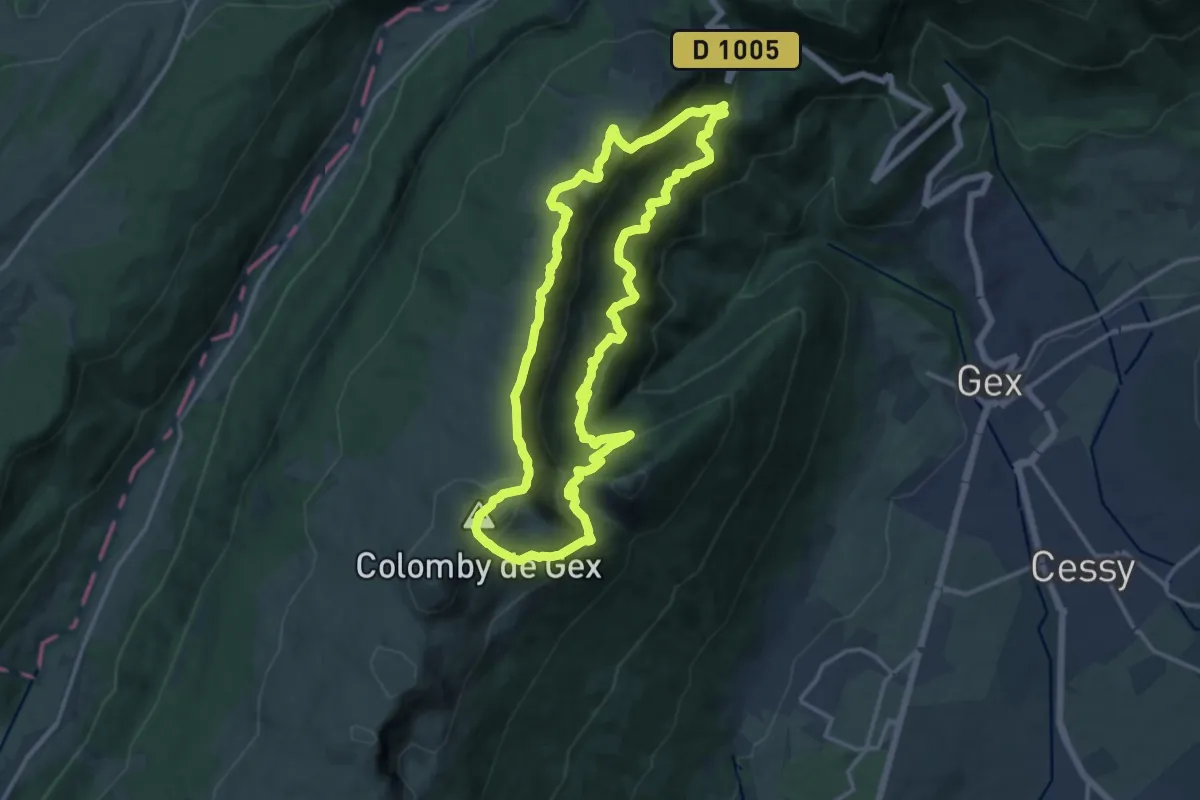
Demanding · Summit
Le Colomby de Gex
13.9 km · ↑ 975 m · 5 h 36 min · 13 km away
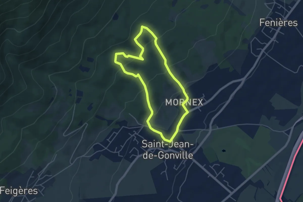
Easy · Trail
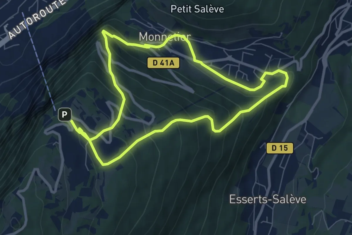
Sentier de Découverte de Mornex
4.5 km · ↑ 213 m · 1 h 35 min · 13 km away
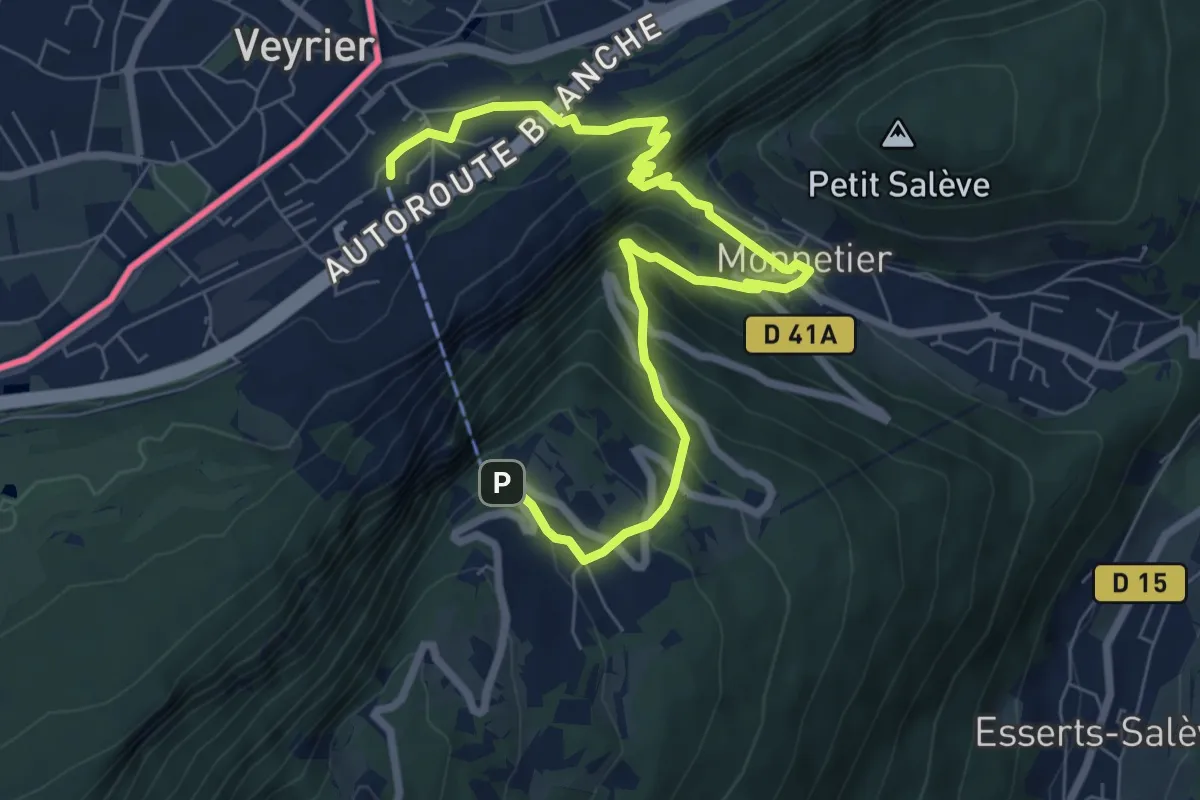
Medium · Trail
Le Pas de l'Echelle
9.2 km · ↑ 763 m · 3 h 49 min · 13 km away
Demanding · Trail
Chemin du Funiculaire
13.0 km · ↑ 931 m · 5 h 5 min · 13 km away
Easy · Trail
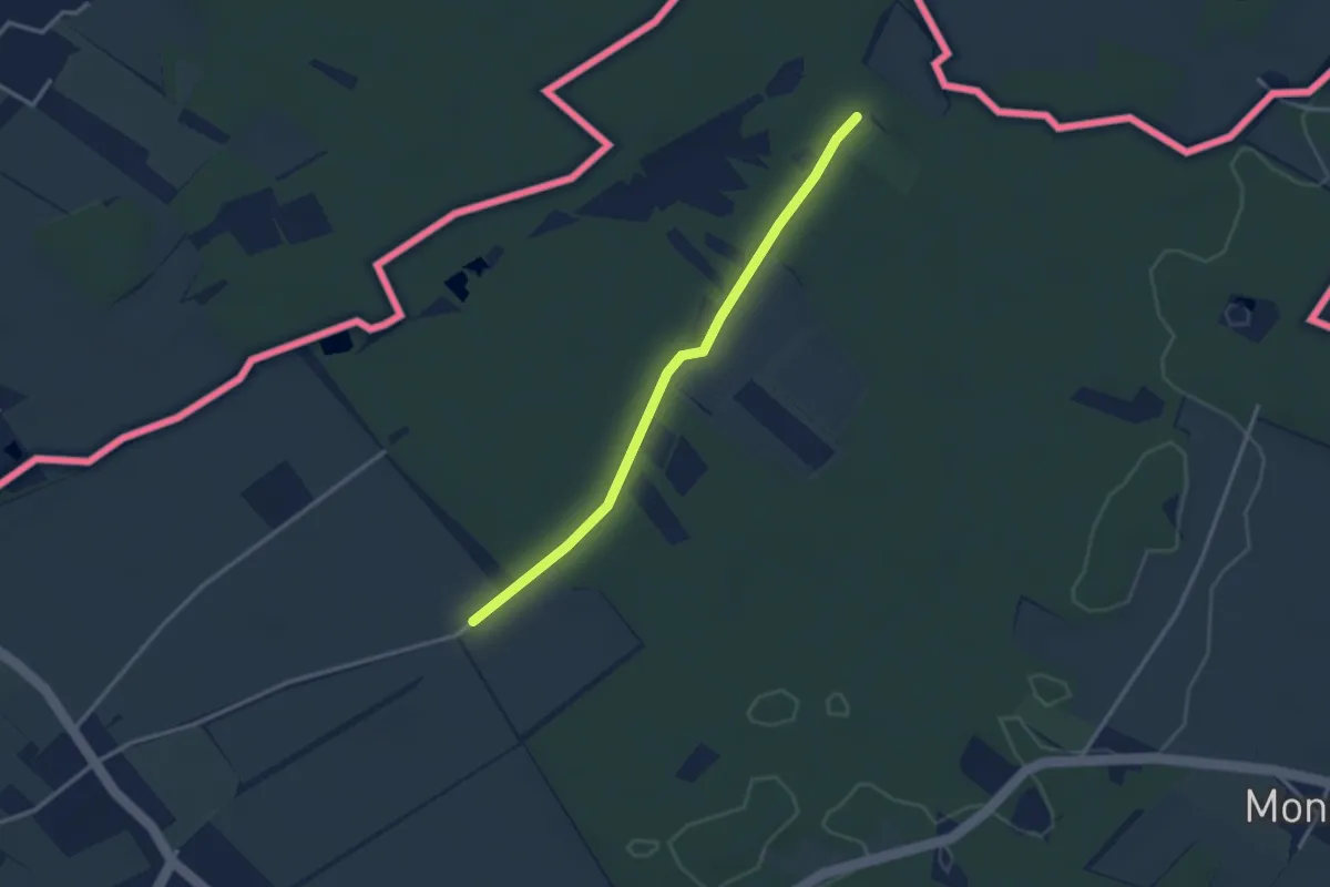
Les Longerayes - Prés de Villette
2.9 km · ↑ 13 m · 43 min · 13 km away
Easy · Trail
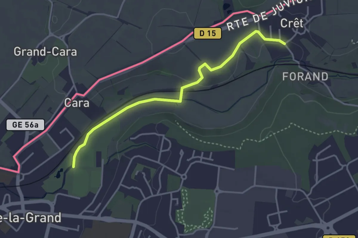
Chemin du Foron
3.6 km · ↑ 32 m · 54 min · 13 km away
Medium · Trail
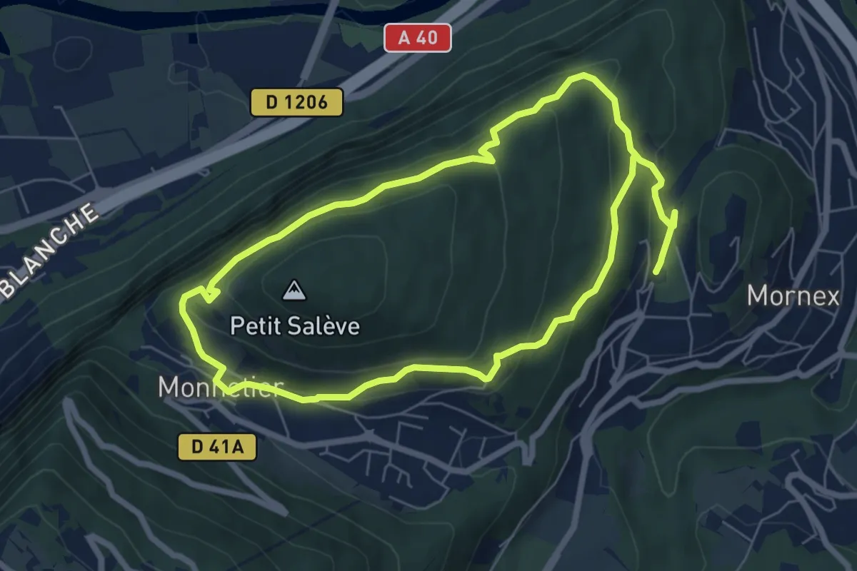
Pierre-Vieille
12.2 km · ↑ 544 m · 4 h 4 min · 13 km away
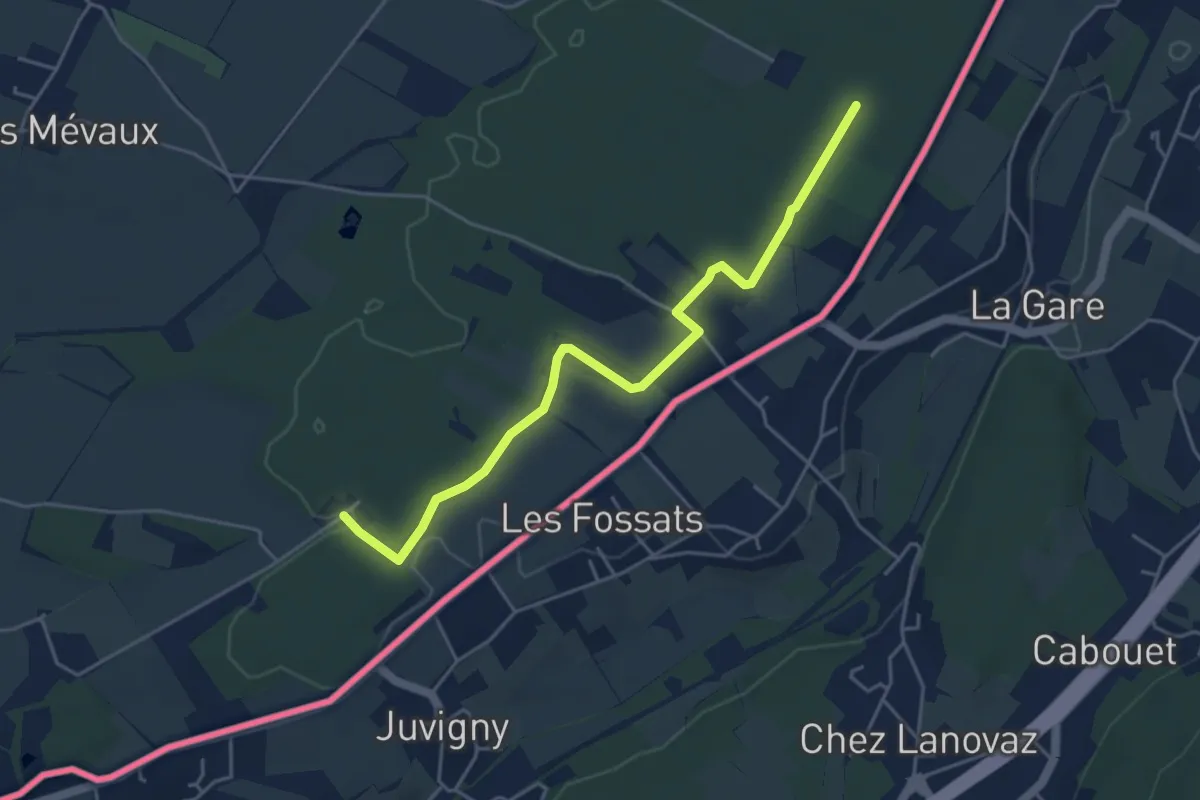
Easy · Trail
Les Bois d'Ornaz - Les Grands Bois
4.8 km · ↑ 15 m · 1 h 11 min · 14 km away
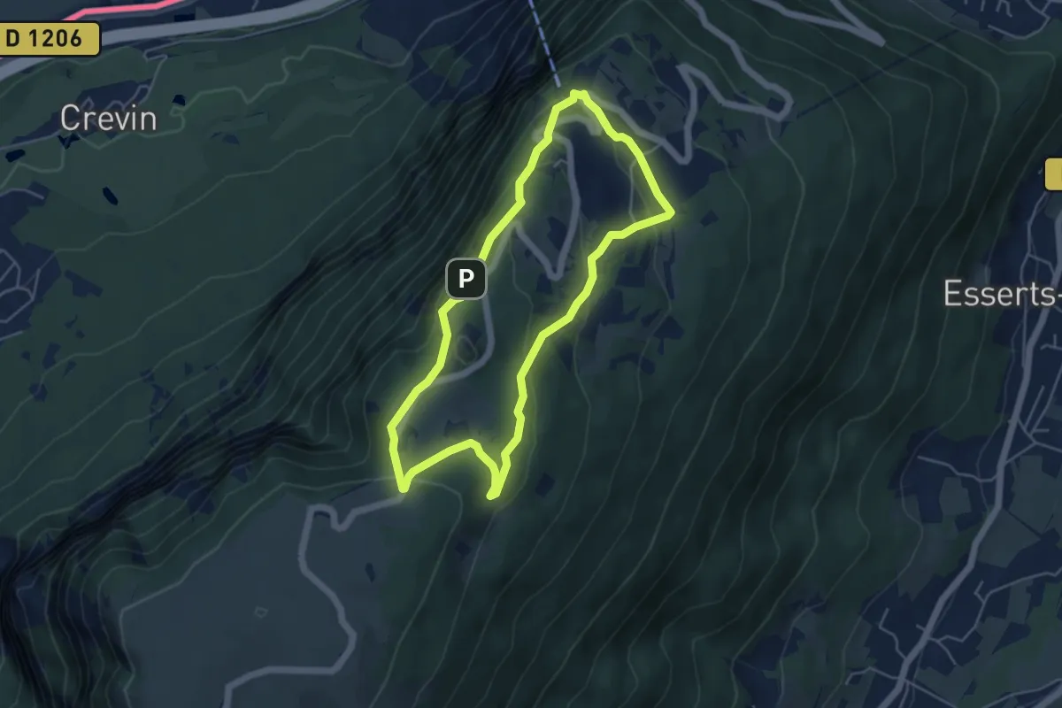
Easy · Trail
Balcon du Téléphérique
4.6 km · ↑ 207 m · 1 h 36 min · 14 km away
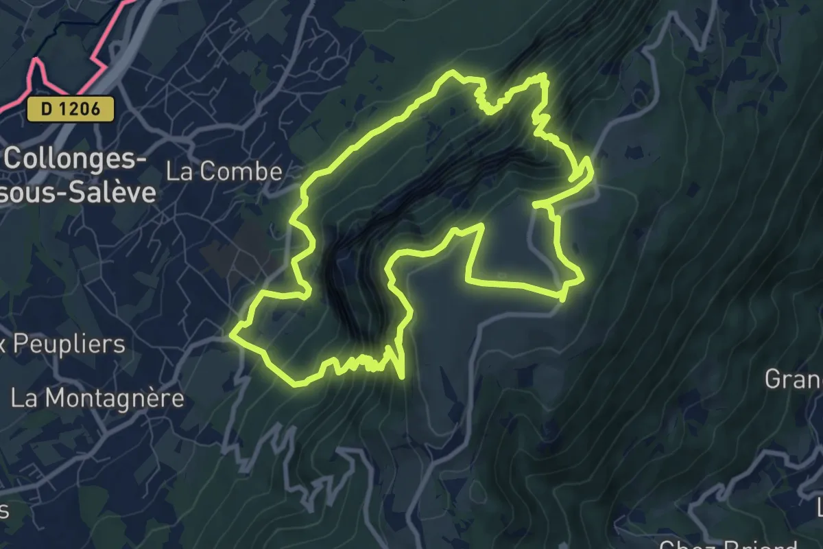
Expert · Trail
Sentier géologique de la grotte d'Orjobet
10.3 km · ↑ 881 m · 4 h 30 min · 14 km away
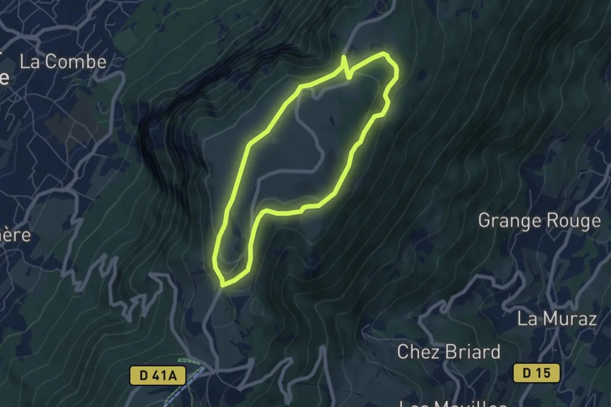
Easy · Trail
Balcon des Crêts
5.3 km · ↑ 132 m · 1 h 37 min · 14 km away
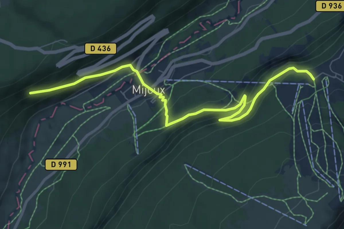
Medium · Trail
Les Cressonnières – La Vieille Faucille
7.5 km · ↑ 564 m · 2 h 59 min · 14 km away
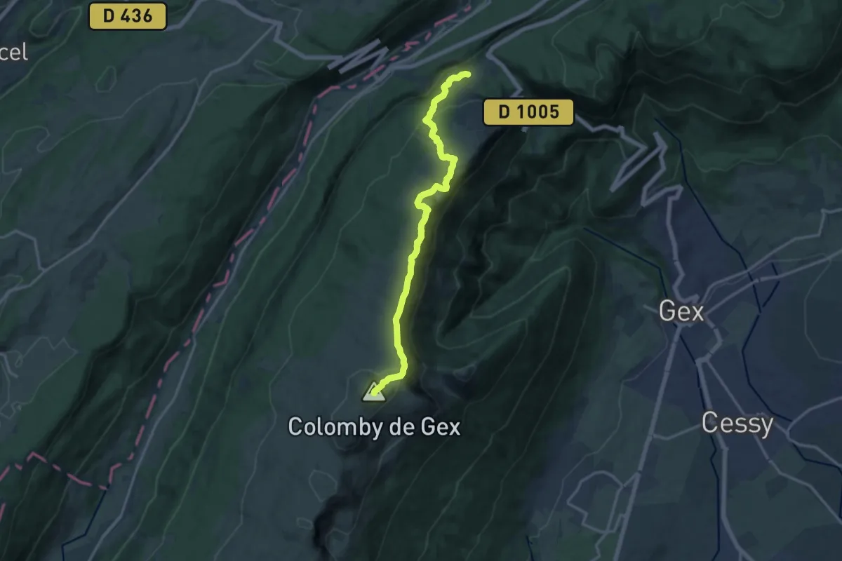
Demanding · Summit
La Vieille Faucille – Refuge de la Loge
13.4 km · ↑ 779 m · 4 h 51 min · 14 km away
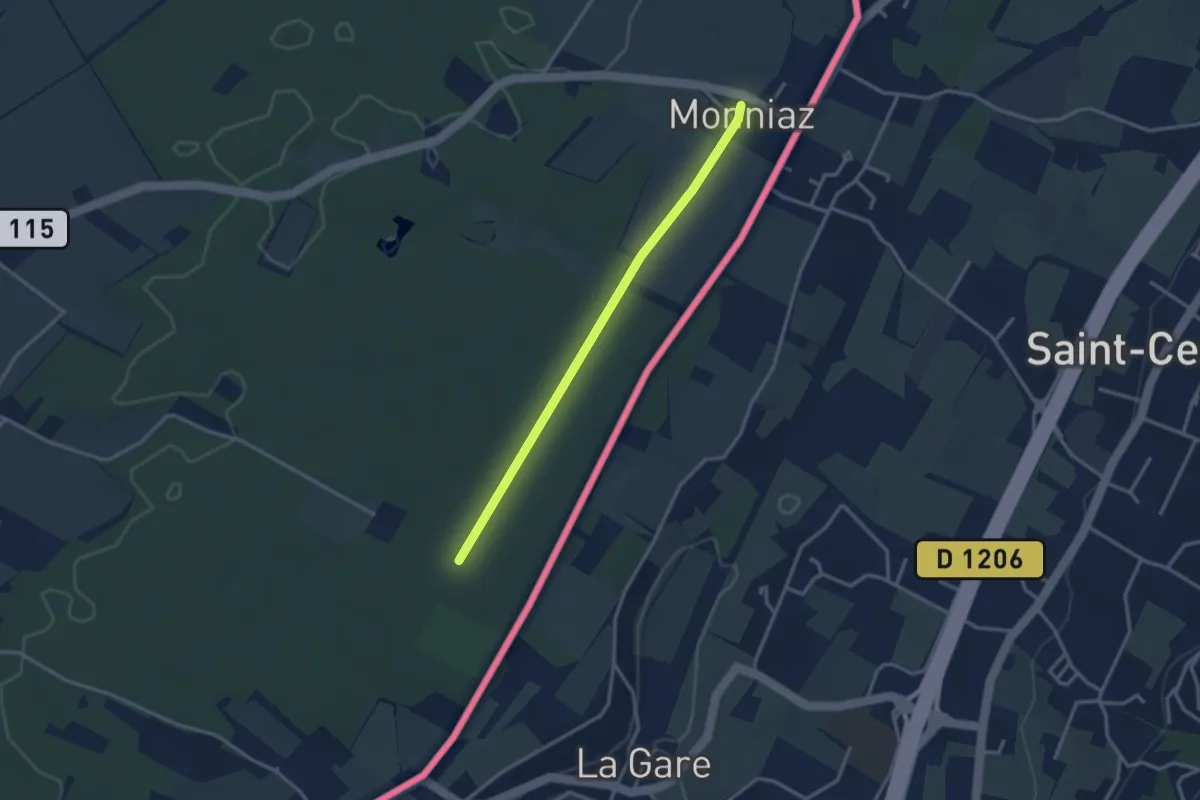
Easy · Trail
Les Grands Bois - Monniaz
3.0 km · ↑ 9 m · 43 min · 15 km away
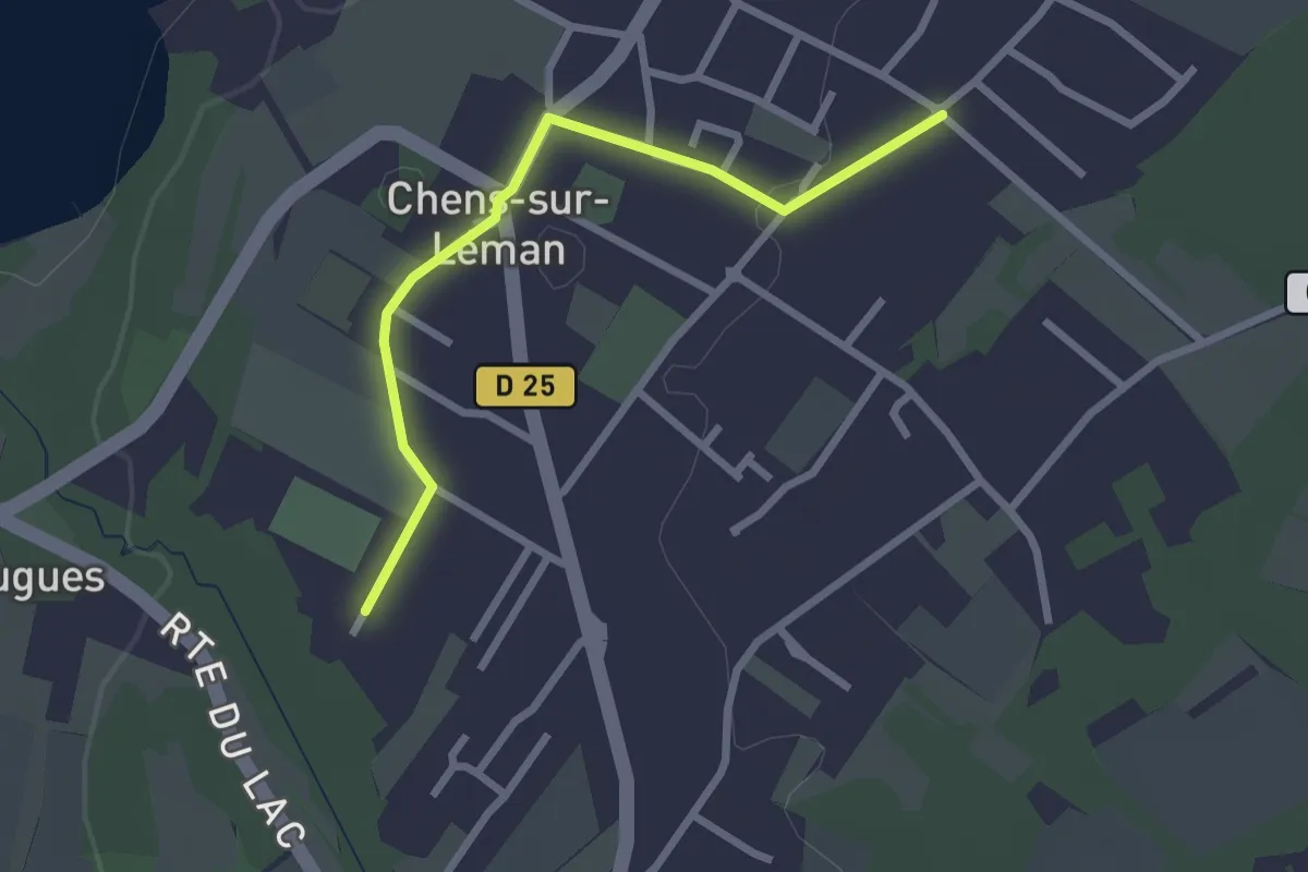
Easy · Trail
Littoral du Léman
2.5 km · ↑ 9 m · 37 min · 15 km away