Trails near Gland
39 hikes starting within 15 km, nearest first.
Nearest first
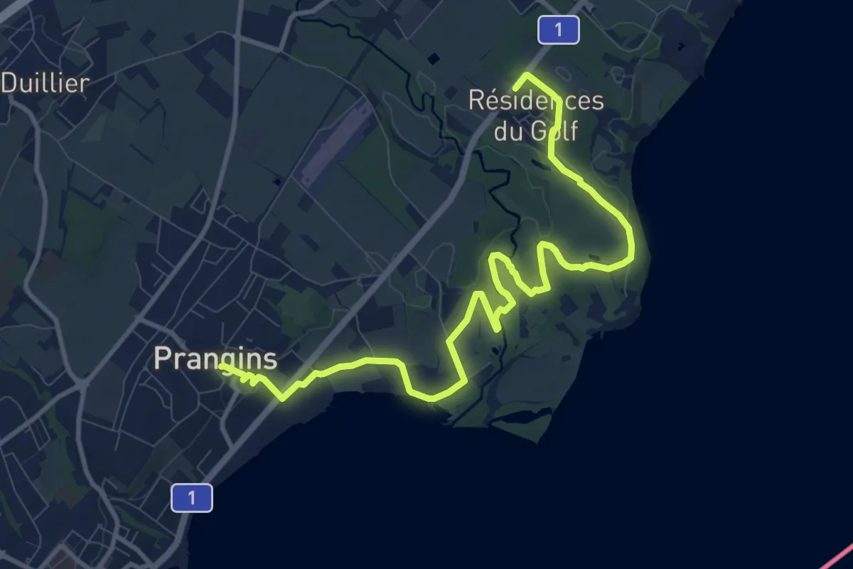
Medium · Trail
Villa Rose – Prangins
12.4 km · ↑ 101 m · 3 h 8 min · 2 km away
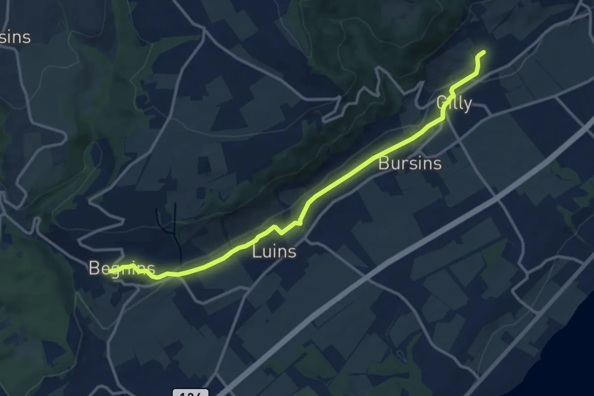
Medium · Trail
Vincy – Begnins
10.7 km · ↑ 192 m · 2 h 56 min · 2 km away
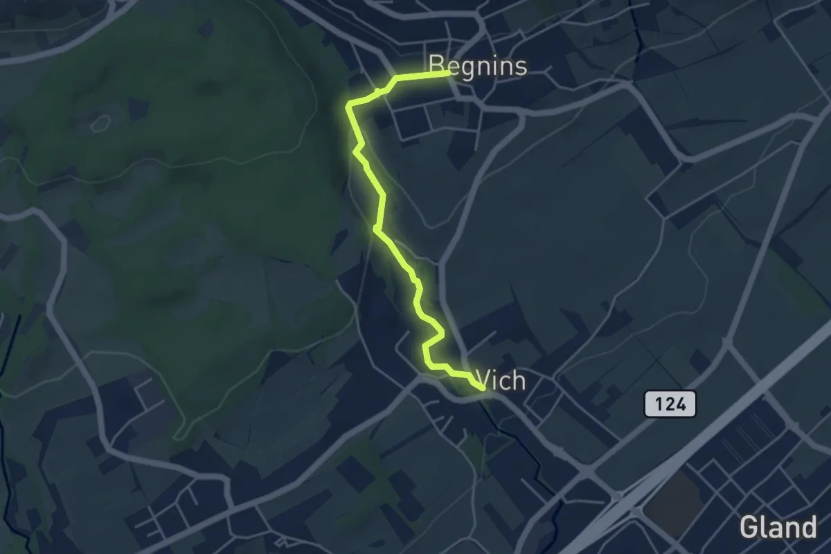
Easy · Trail
Begnins - Vich
4.0 km · ↑ 84 m · 1 h 8 min · 2 km away
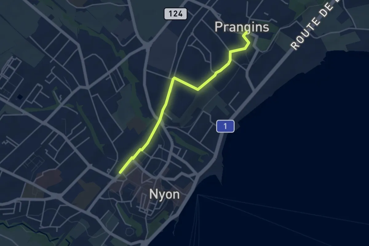
Easy · Trail
Prangins – Nyon
3.8 km · ↑ 48 m · 1 h 1 min · 4 km away
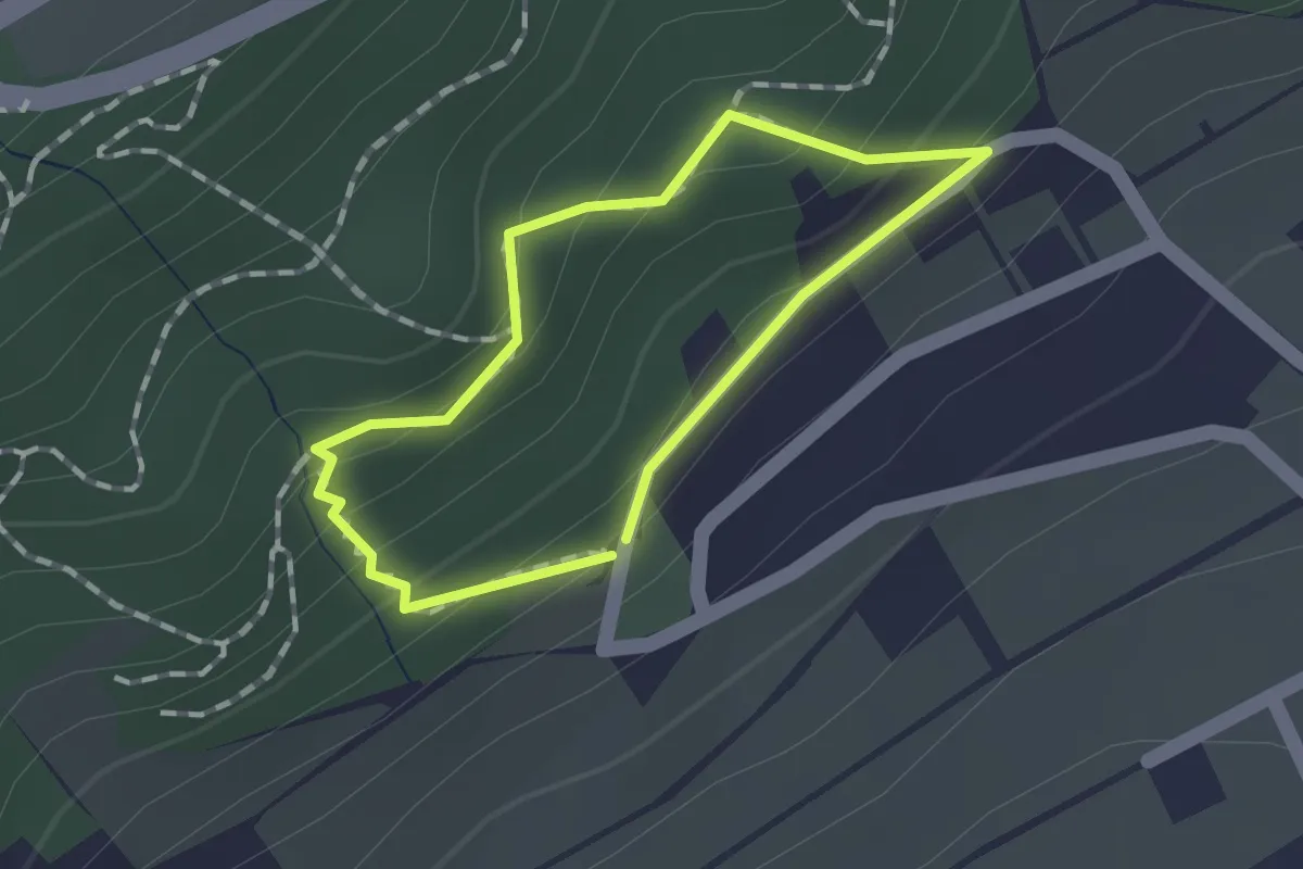
Easy · Trail
Sentier Eau-Forêt
1.0 km · ↑ 69 m · 24 min · 4 km away
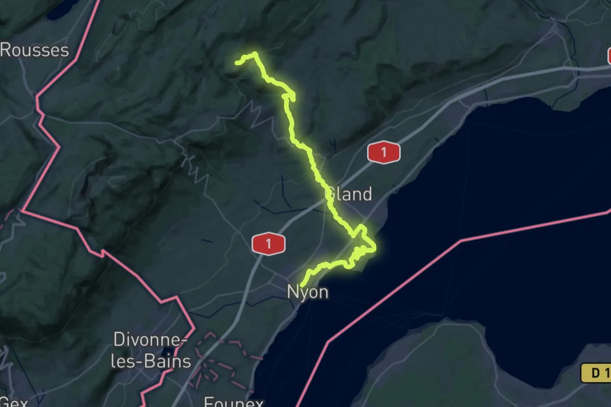
Demanding · Trail
Le sentier des Toblerones
22.0 km · ↑ 827 m · 6 h 55 min · 5 km away
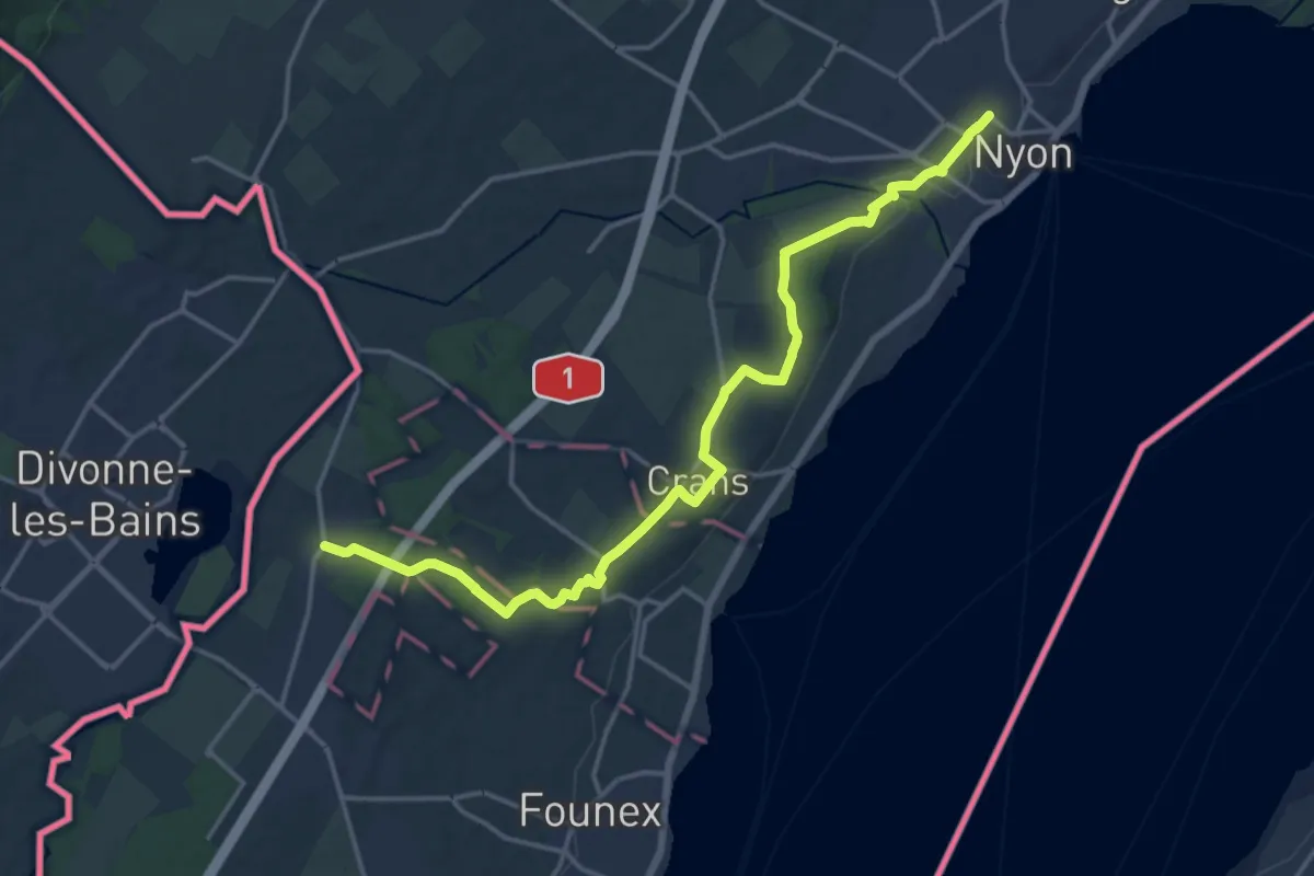
Medium · Trail
Chemin panorama alpin
17.9 km · ↑ 122 m · 4 h 29 min · 5 km away
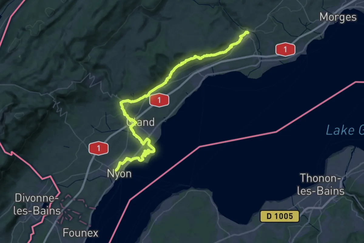
Demanding · Trail
Chemin panorama alpin
29.6 km · ↑ 515 m · 8 h 27 min · 5 km away
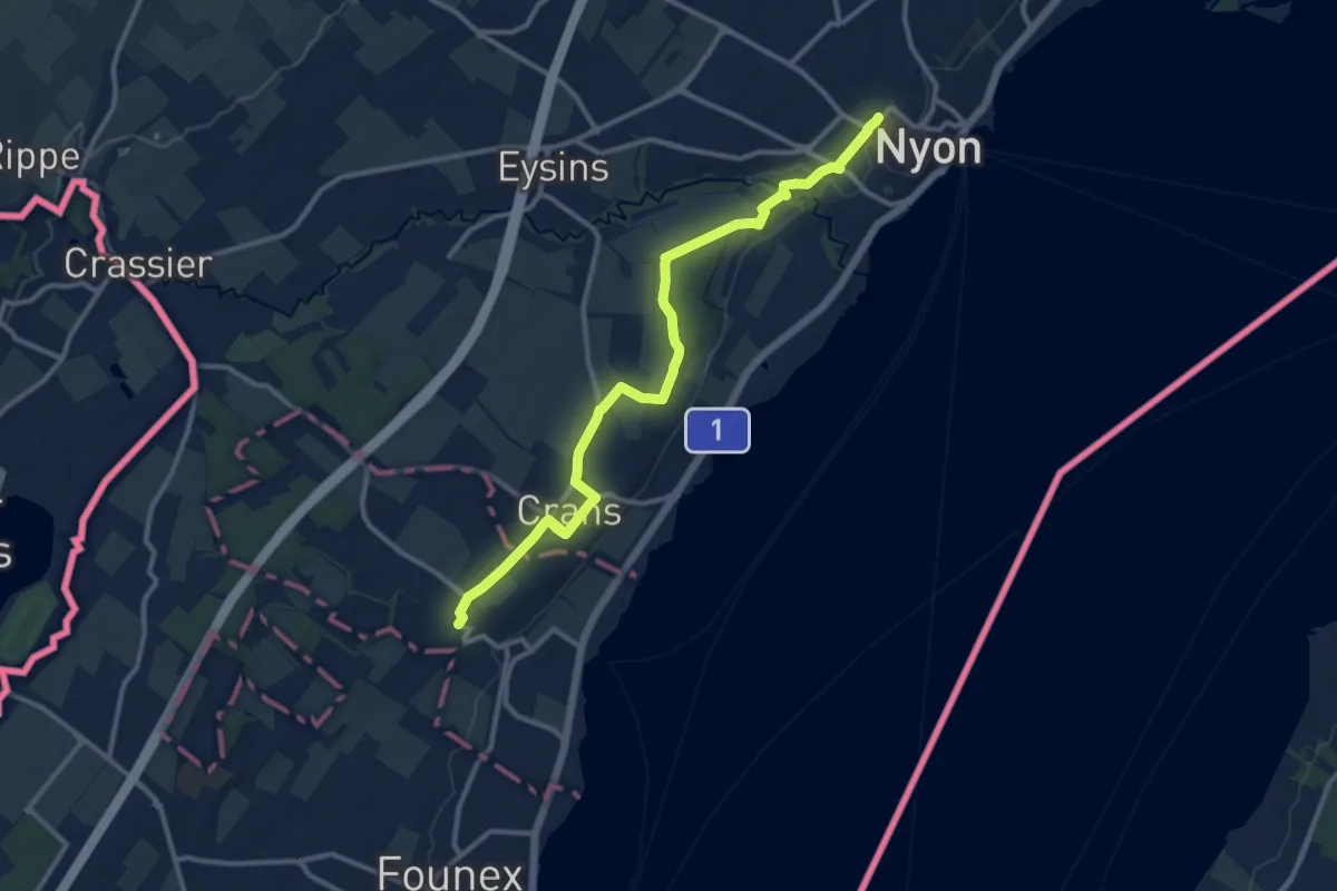
Medium · Trail
Nyon Gare – Celigny
12.8 km · ↑ 75 m · 3 h 12 min · 5 km away
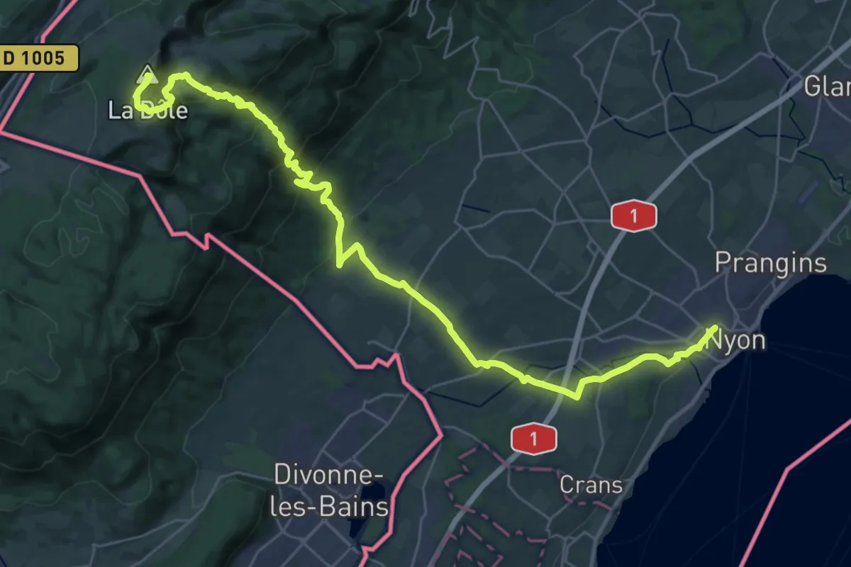
Demanding · Summit
Chemin des Crêtes du Jura
35.6 km · ↑ 1382 m · 11 h 24 min · 5 km away
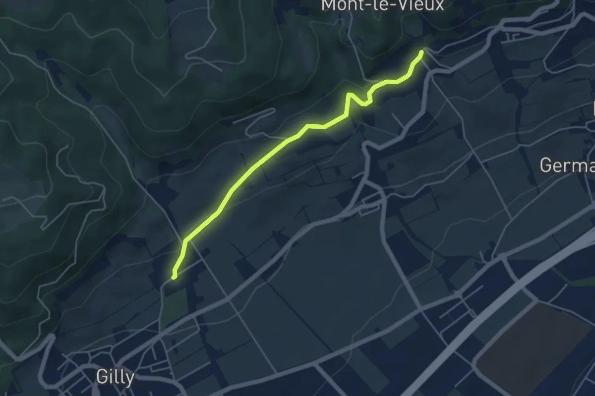
Easy · Trail
Bugnaux – Vincy
4.2 km · ↑ 126 m · 1 h 16 min · 7 km away
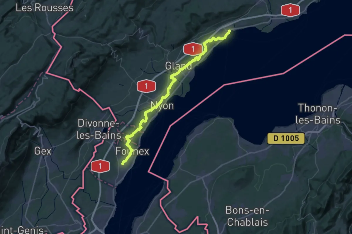
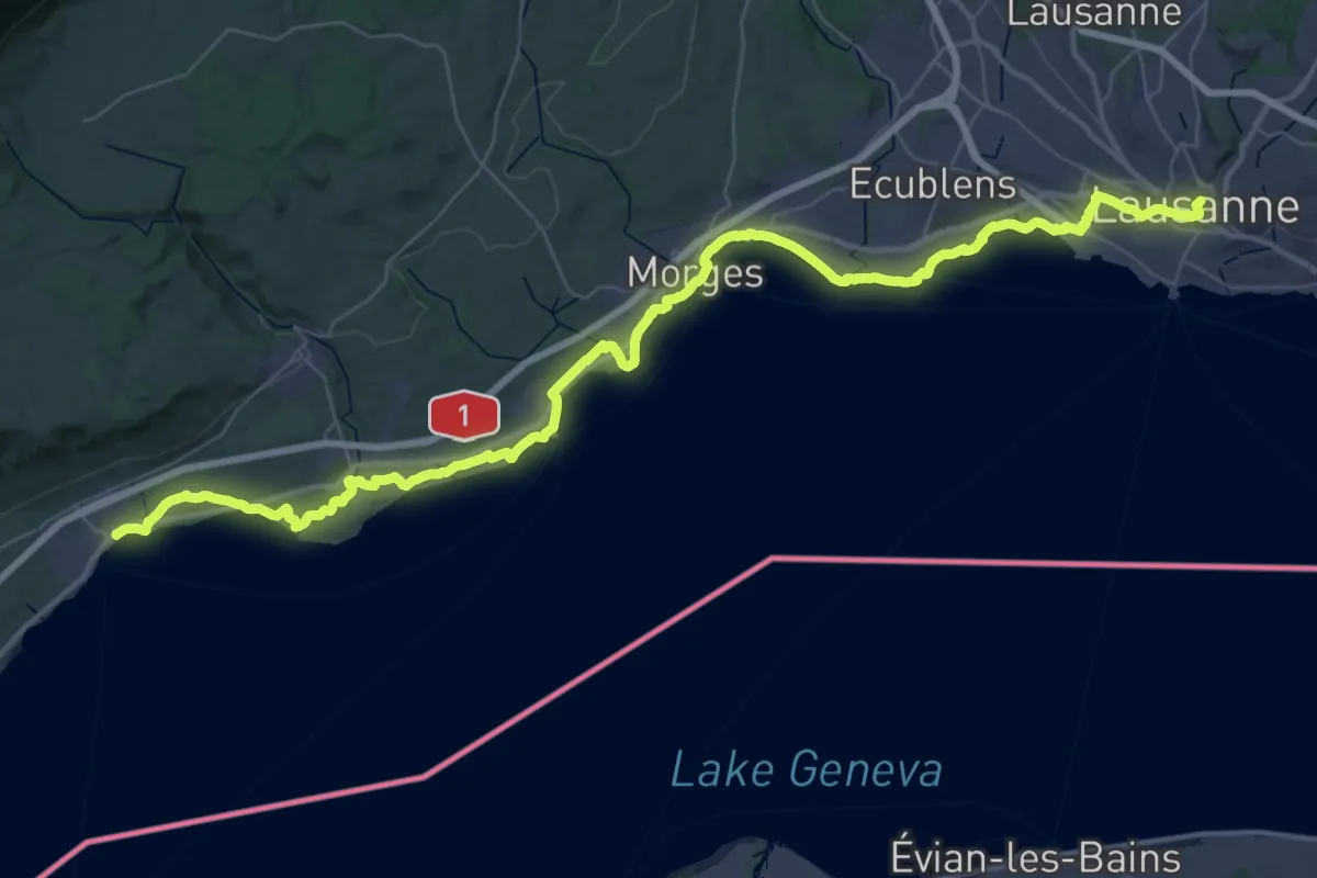
Demanding · Trail
ViaJacobi
27.4 km · ↑ 186 m · 7 h 14 min · 7 km away
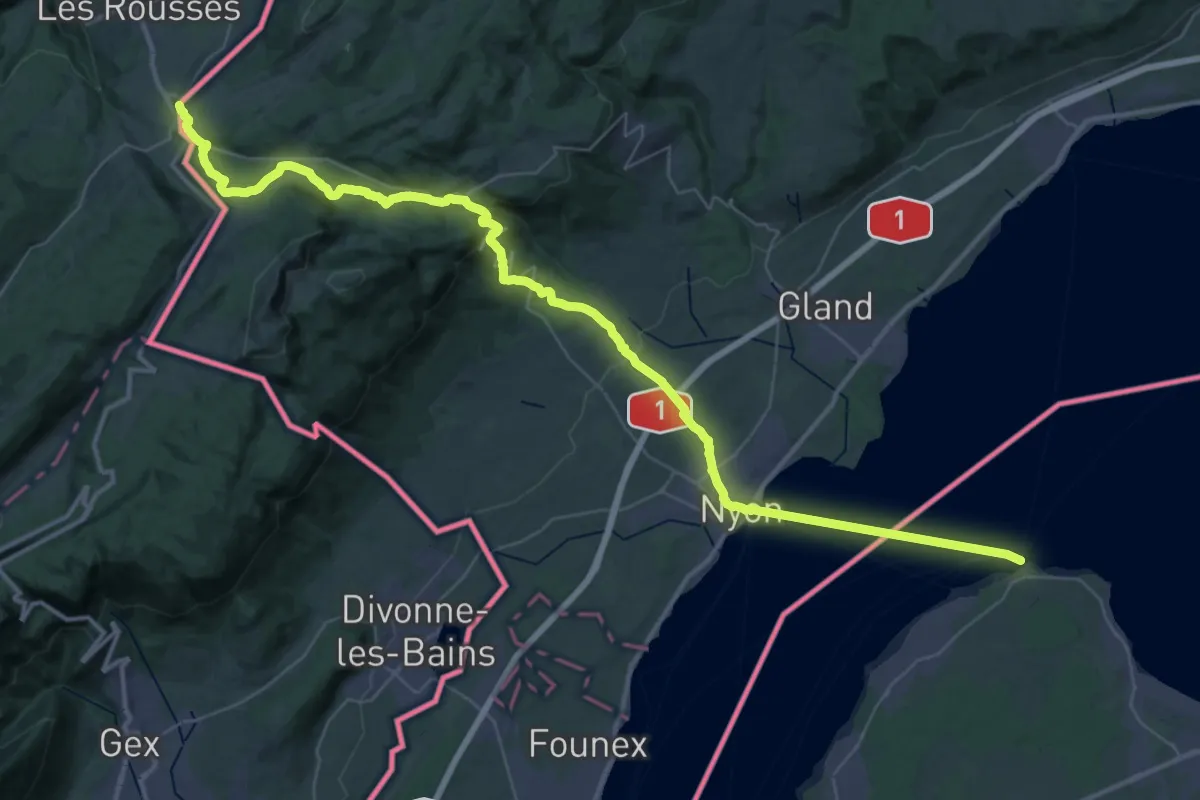
Demanding · Trail
ViaJacobi
30.5 km · ↑ 281 m · 8 h 10 min · 7 km away
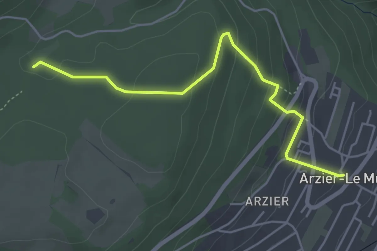
Demanding · Trail
La Cure – Nyon
26.8 km · ↑ 968 m · 8 h 24 min · 7 km away
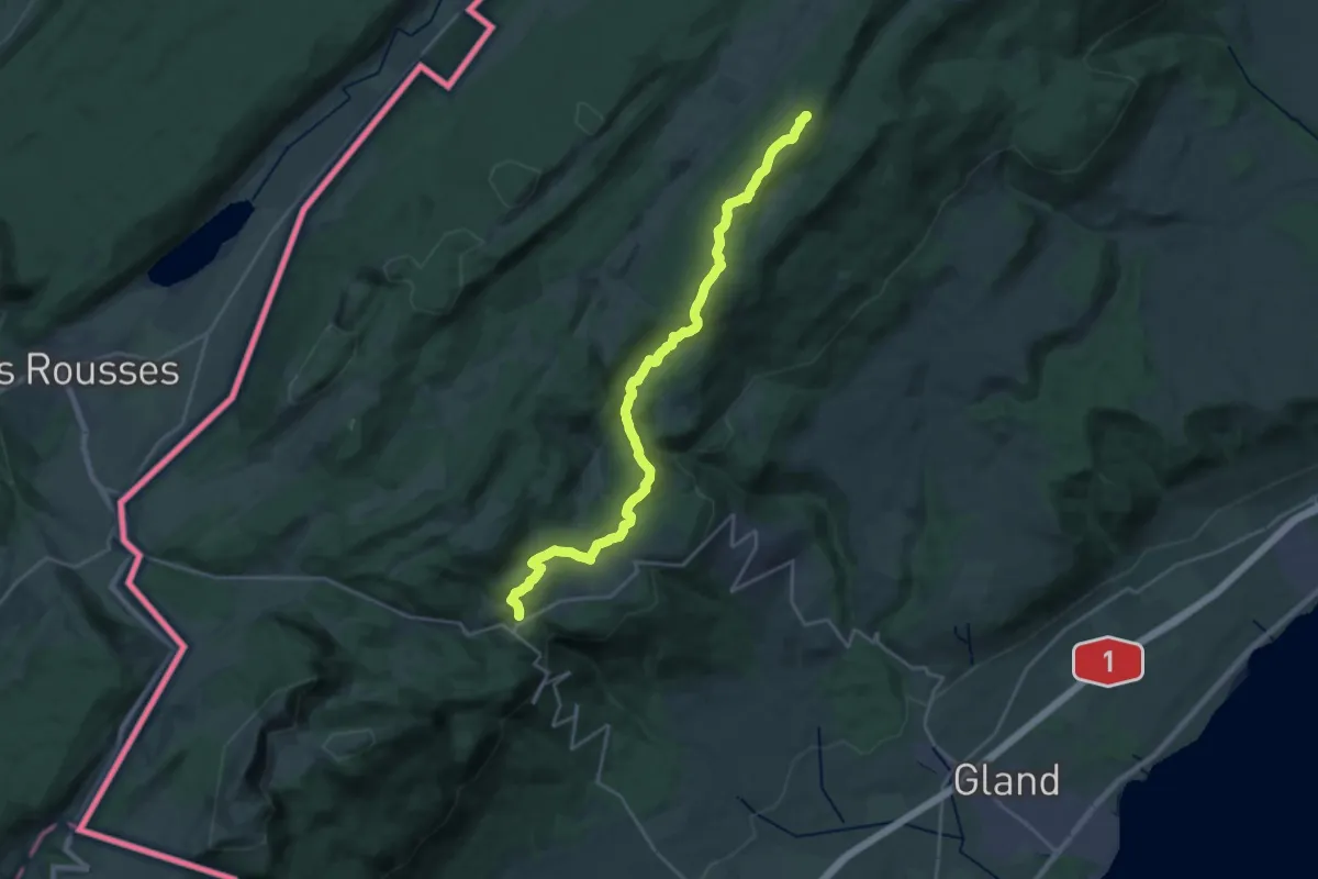
Easy · Trail
Arzier Eglise – Creux des Abériaux
4.3 km · ↑ 189 m · 1 h 26 min · 7 km away
Demanding · Summit
Chemin des Crêtes du Jura
24.2 km · ↑ 762 m · 7 h 22 min · 9 km away
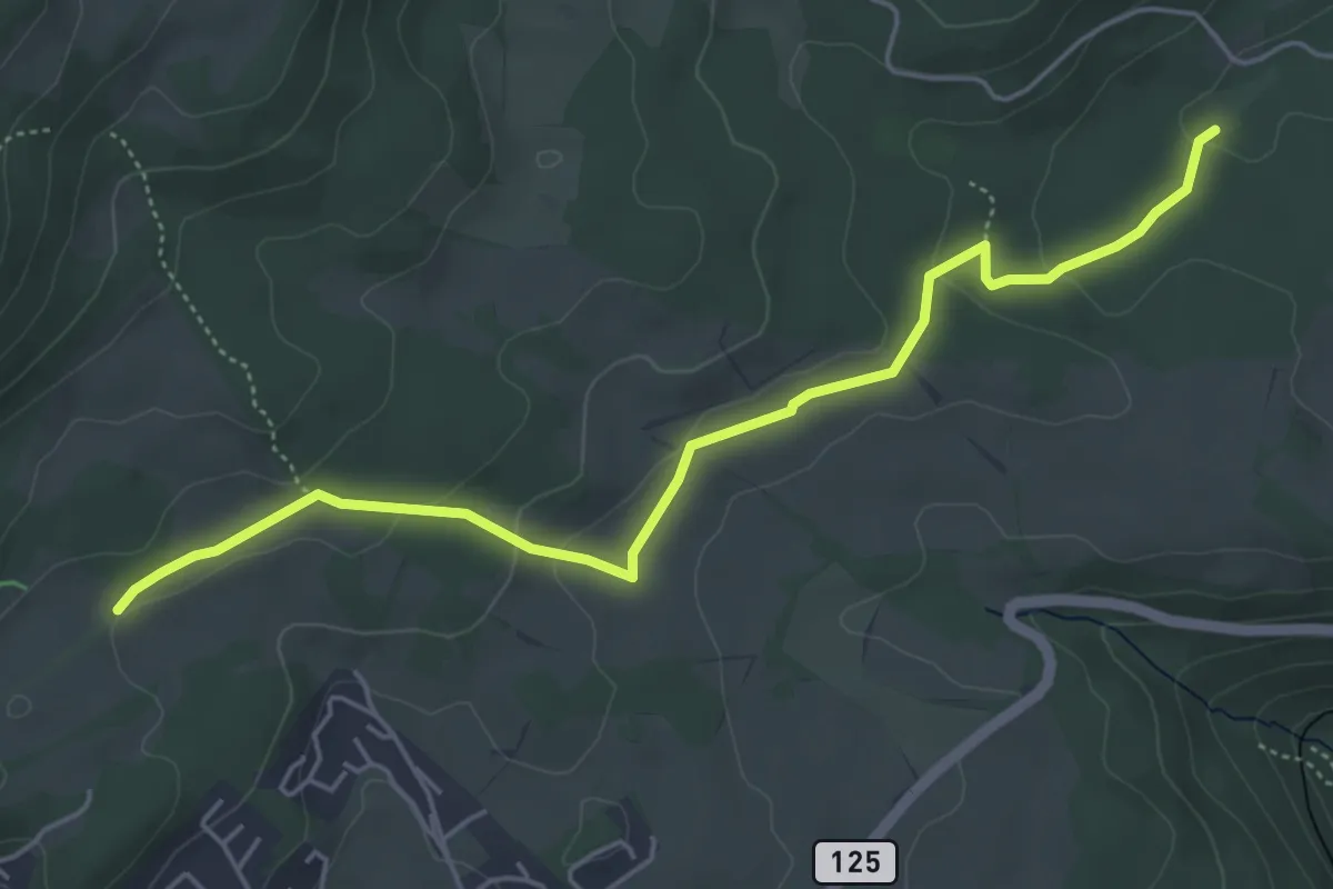
Easy · Trail
Creux des Abériaux – Route de la Prangine
5.4 km · ↑ 132 m · 1 h 34 min · 9 km away
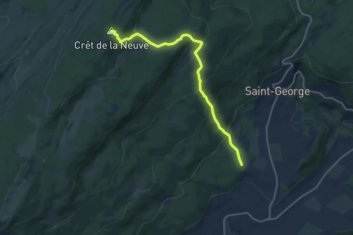
Medium · Summit
Longirod - La Neuve
9.0 km · ↑ 533 m · 3 h 17 min · 9 km away
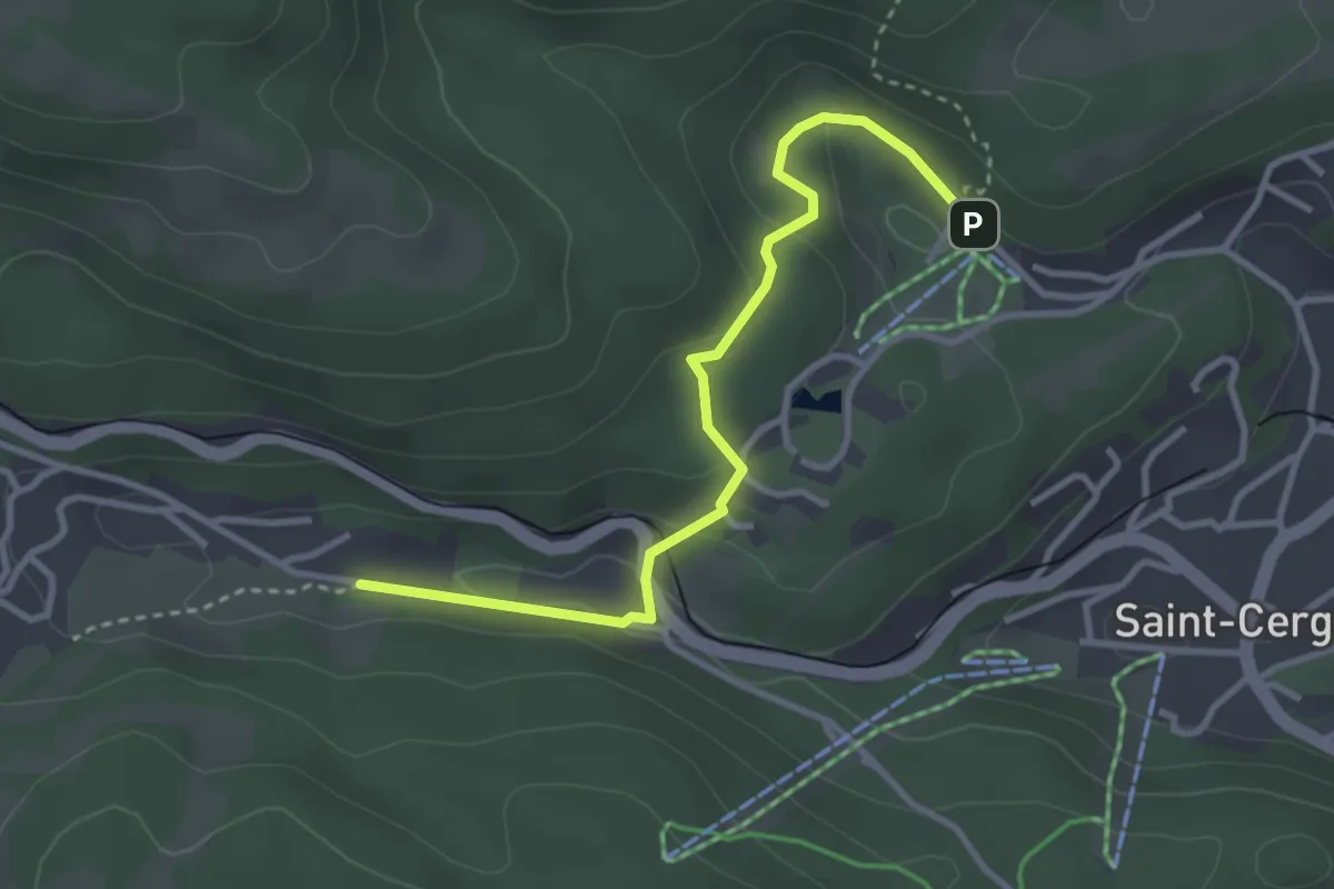
Easy · Trail
Basse Ruche – La Chenalette
3.4 km · ↑ 139 m · 1 h 6 min · 9 km away
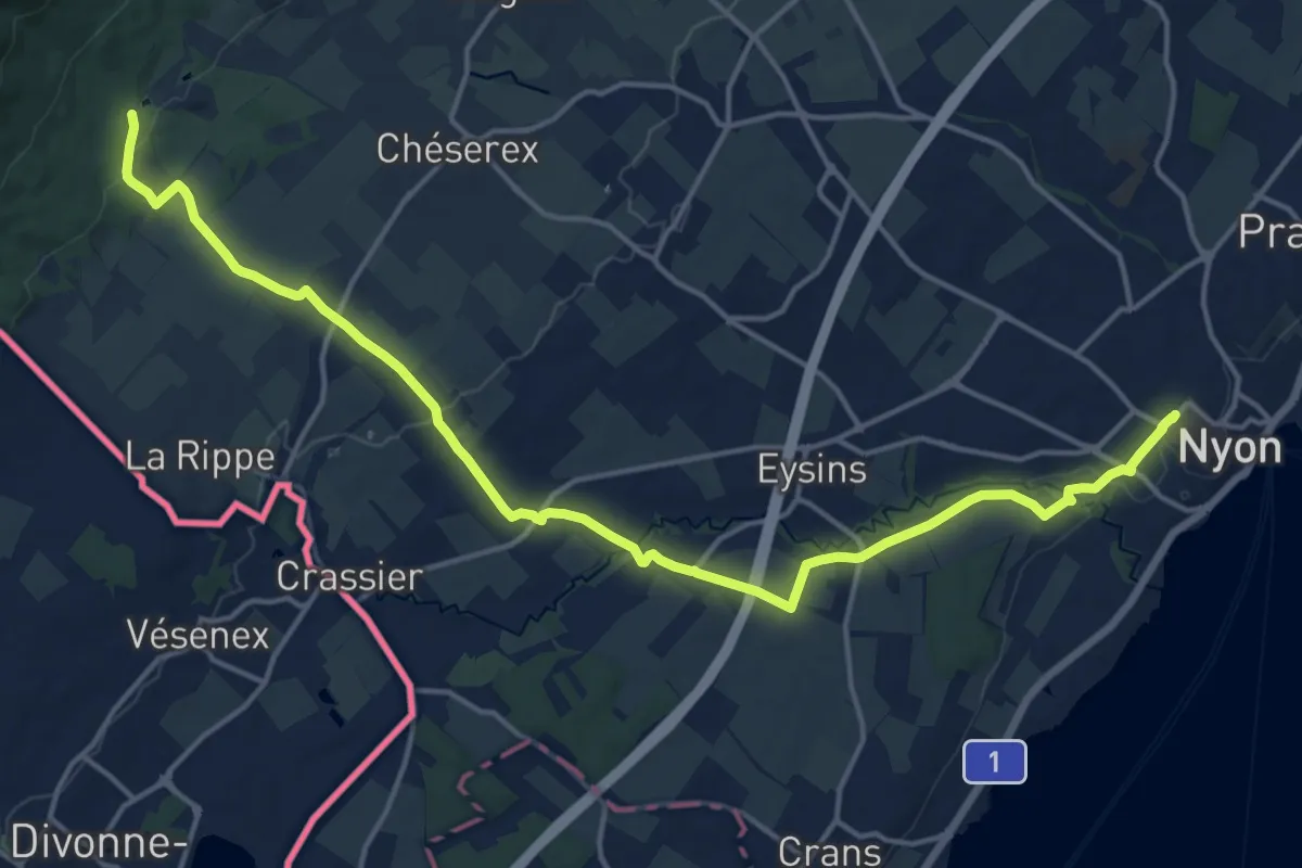
Demanding · Trail
Bonmont – Nyon Gare
19.1 km · ↑ 247 m · 5 h 2 min · 10 km away
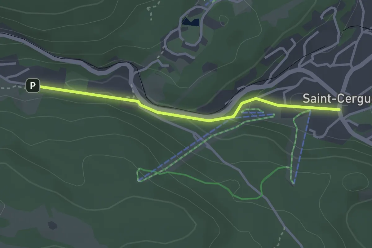
Easy · Trail
St-Cergue – La Chenalette
2.7 km · ↑ 72 m · 47 min · 10 km away
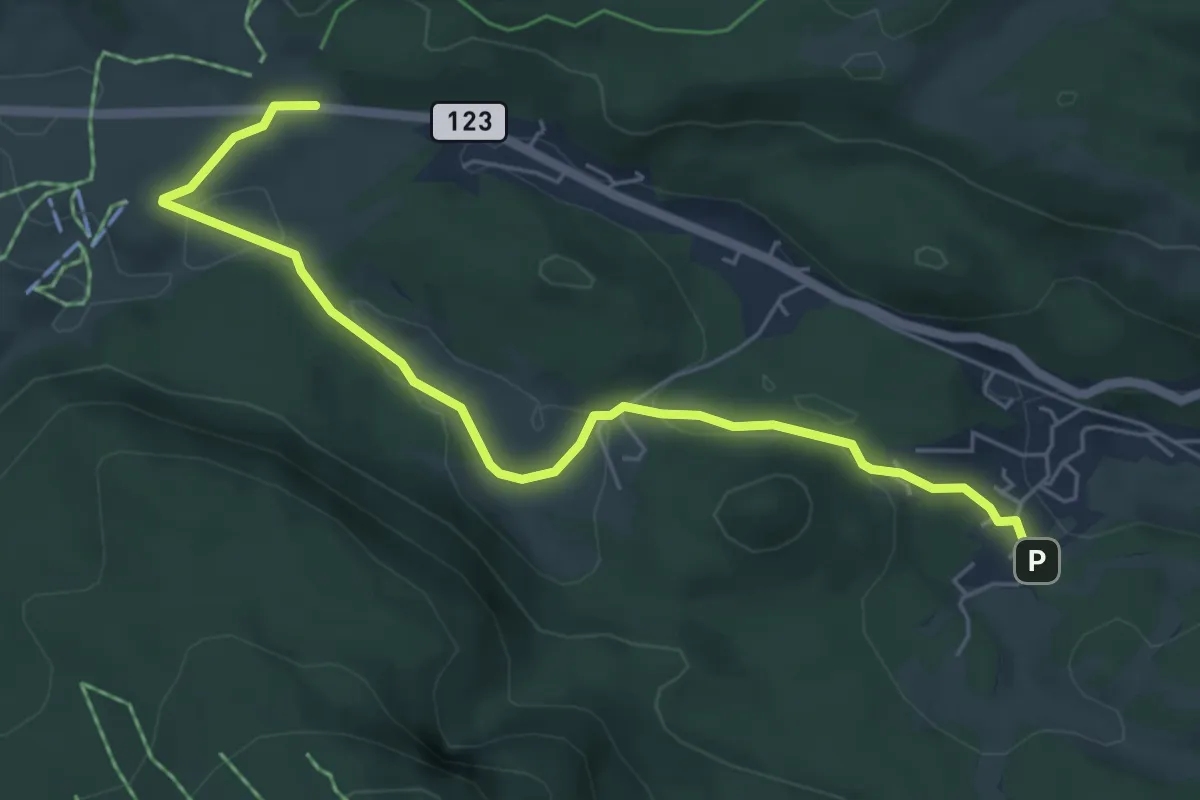
Easy · Trail
La St-Cergue – La Givrine
6.0 km · ↑ 96 m · 1 h 37 min · 10 km away
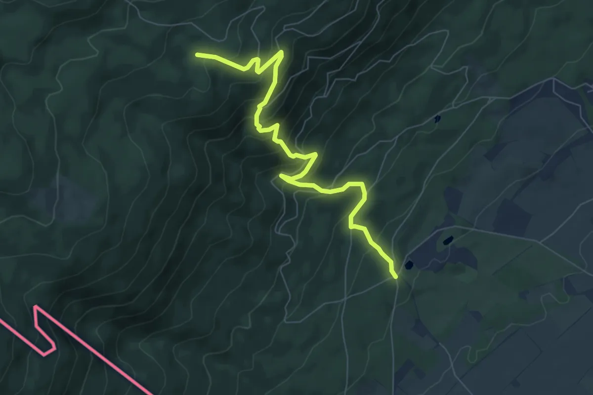
Medium · Trail
Le Bauloz-Bonmont
7.5 km · ↑ 607 m · 3 h 5 min · 11 km away
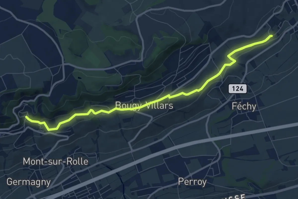
Medium · Trail
Mont Dessus – Aubonne
10.9 km · ↑ 201 m · 3 h · 11 km away
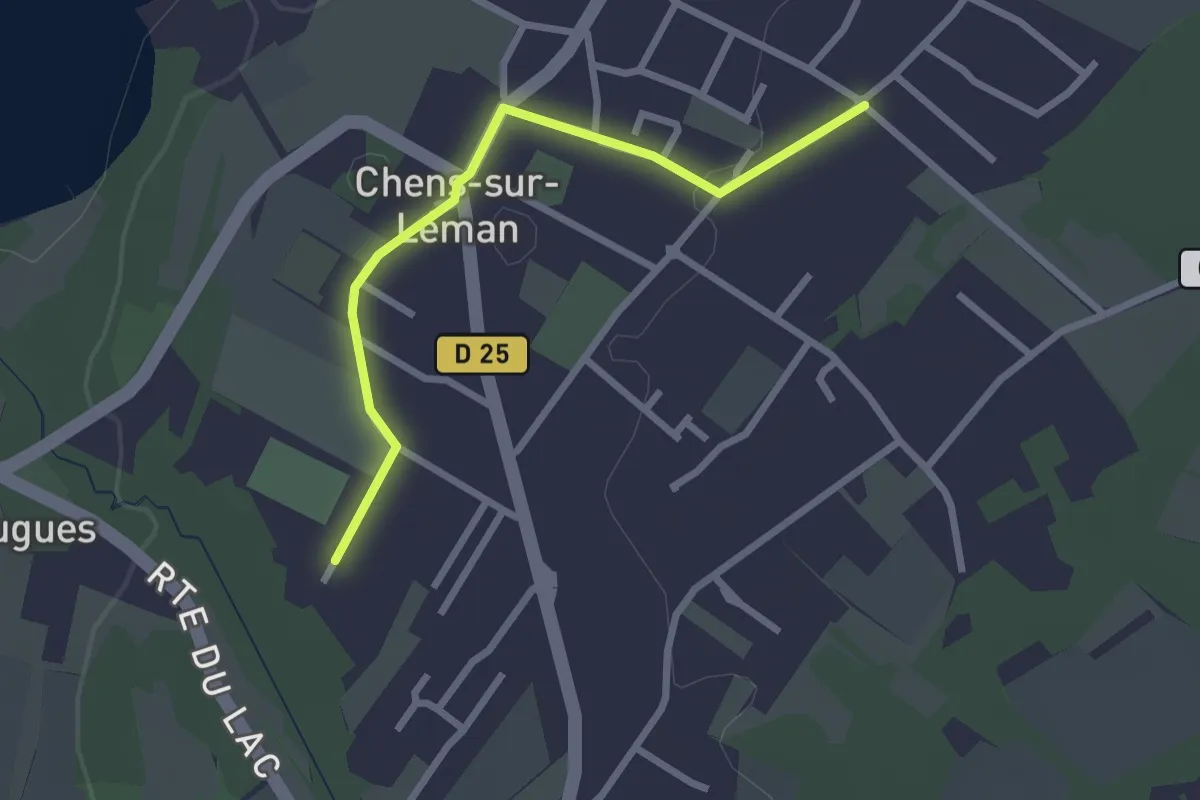
Easy · Trail
Littoral du Léman
2.5 km · ↑ 9 m · 37 min · 11 km away
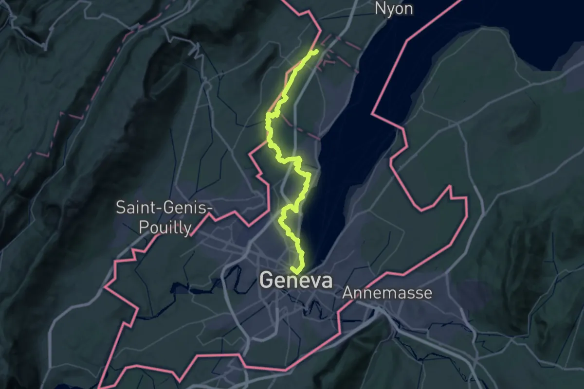
Demanding · Trail
Chemin panorama alpin
27.4 km · ↑ 205 m · 7 h 20 min · 11 km away
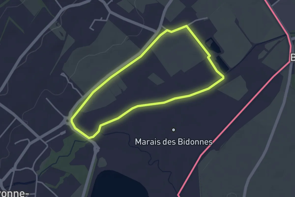
Easy · Trail
Marais des Bidonnes
2.9 km · ↑ 4 m · 44 min · 11 km away
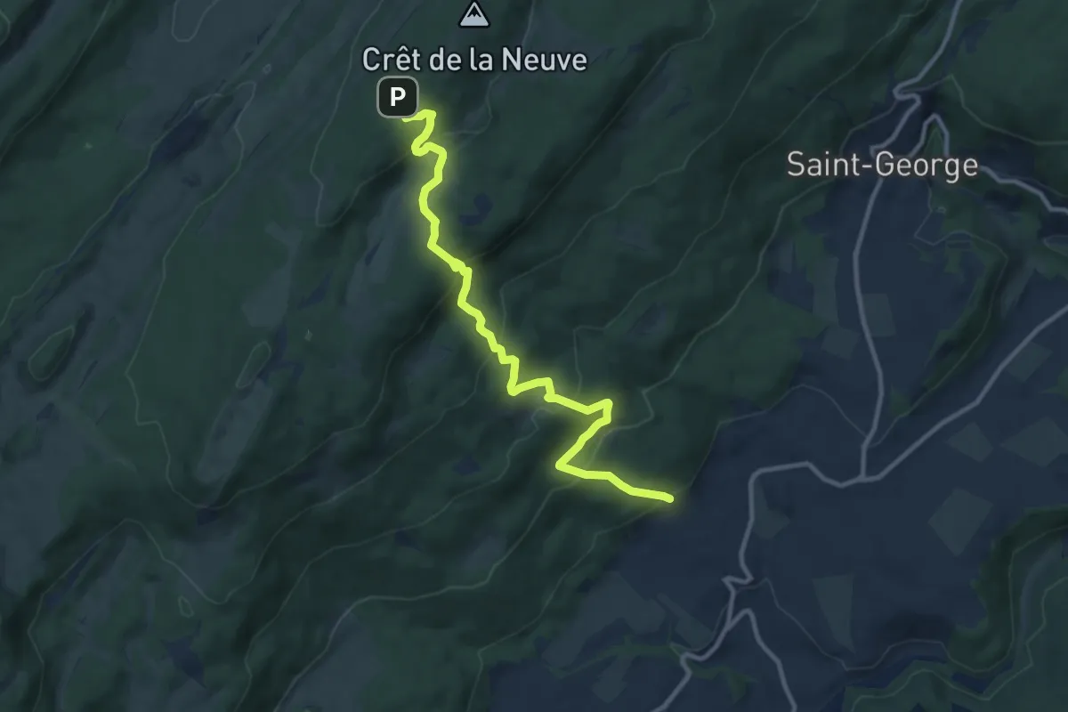
Medium · Trail
Sentier du Coq
11.2 km · ↑ 601 m · 3 h 57 min · 11 km away
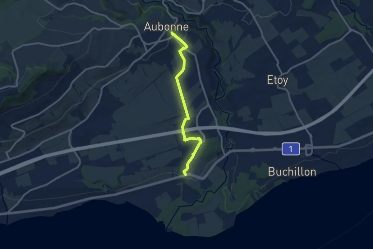
Easy · Trail
Aubonne – Allaman
7.6 km · ↑ 94 m · 2 h · 11 km away
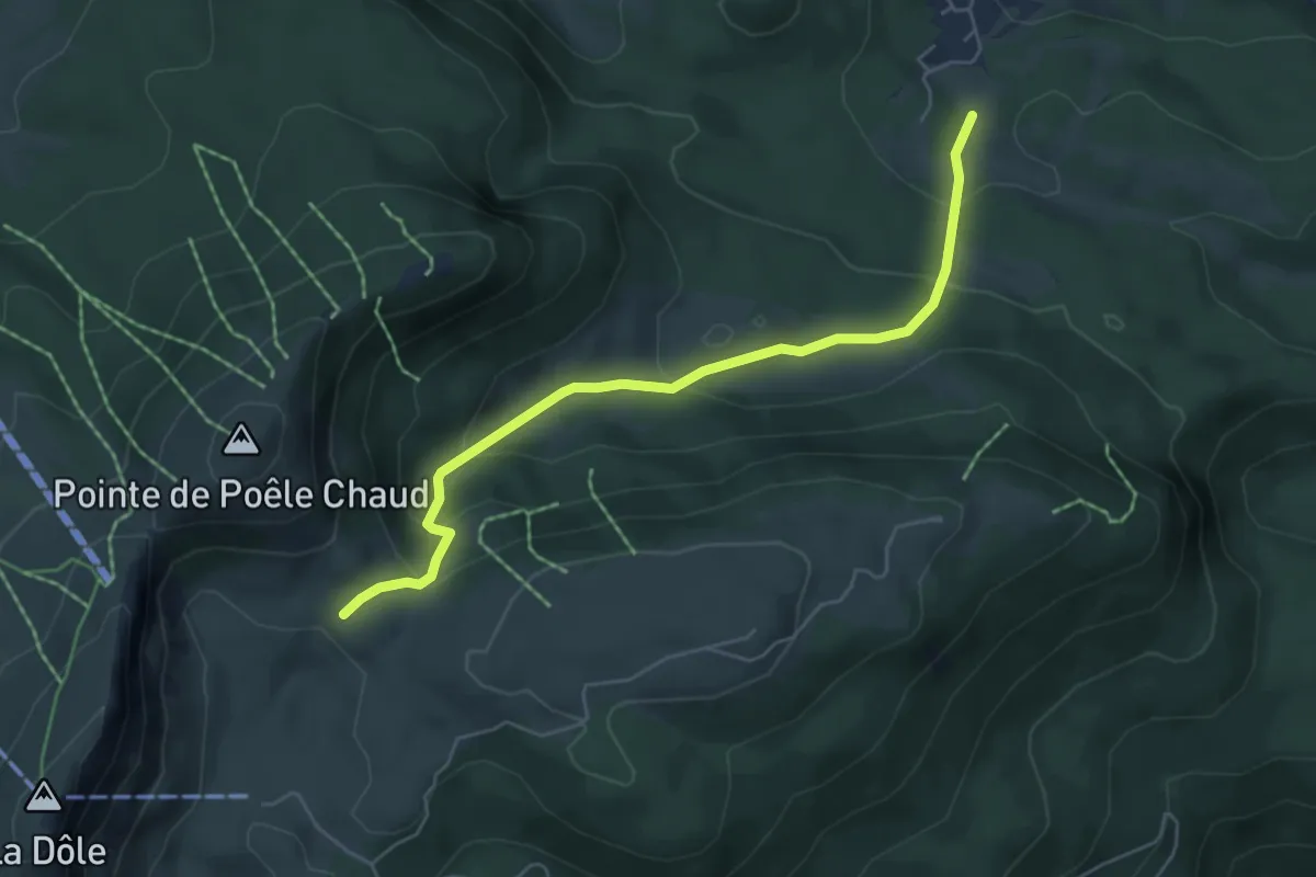
Medium · Cabin
L'Archette-Col du Vuarne
5.5 km · ↑ 325 m · 2 h · 12 km away
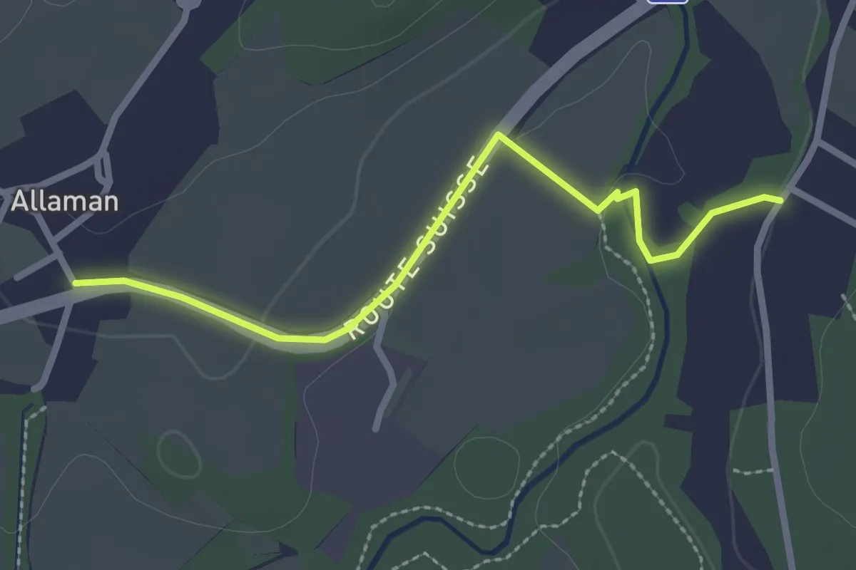
Easy · Trail
Allaman – Grand Bois
2.5 km · ↑ 22 m · 38 min · 12 km away
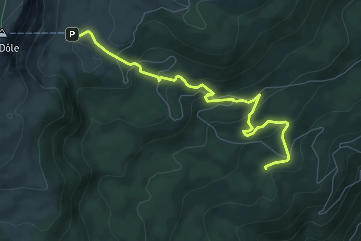
Easy · Trail
Chalet de la Dôle-Le Bauloz
6.8 km · ↑ 278 m · 2 h 12 min · 12 km away
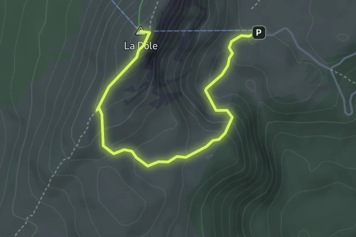
Easy · Summit
La Dôle-Chalet de la Dôle
4.3 km · ↑ 261 m · 1 h 34 min · 12 km away
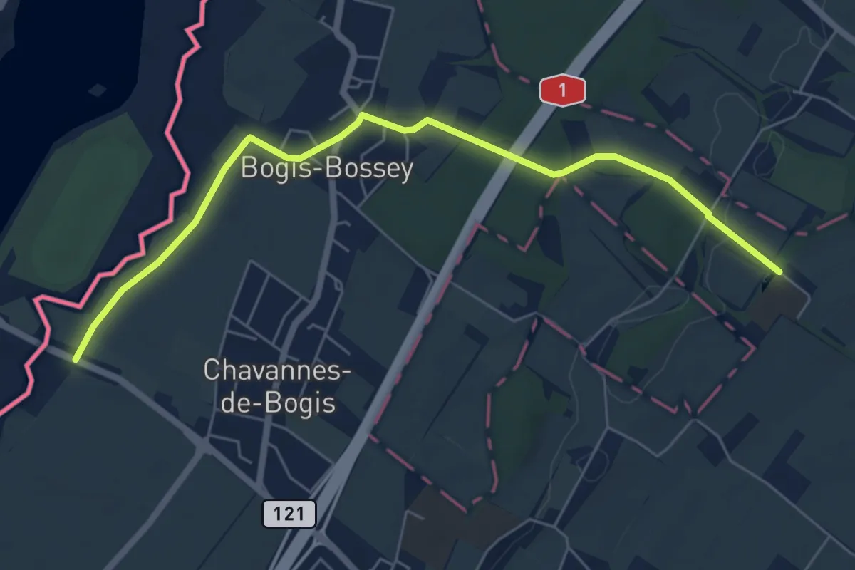
Easy · Trail
Château de Bossey – Chavannes do Bogis Douane
6.3 km · ↑ 36 m · 1 h 34 min · 12 km away
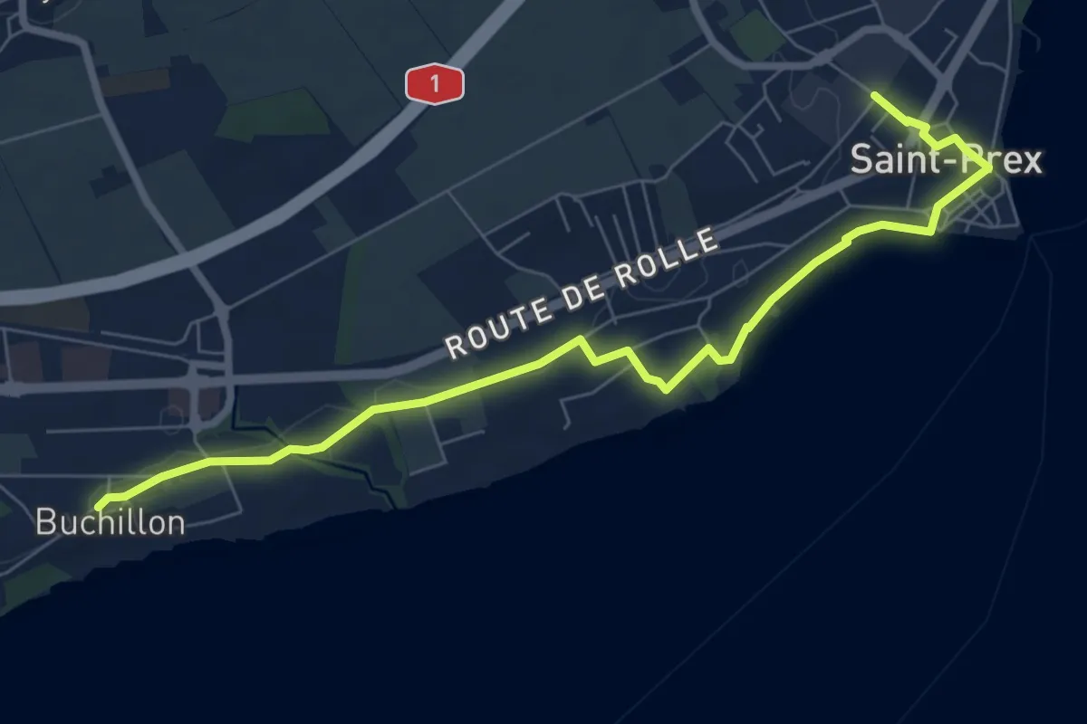
Medium · Trail
Buchillon – St Prex Gare
8.1 km · ↑ 53 m · 2 h 1 min · 13 km away
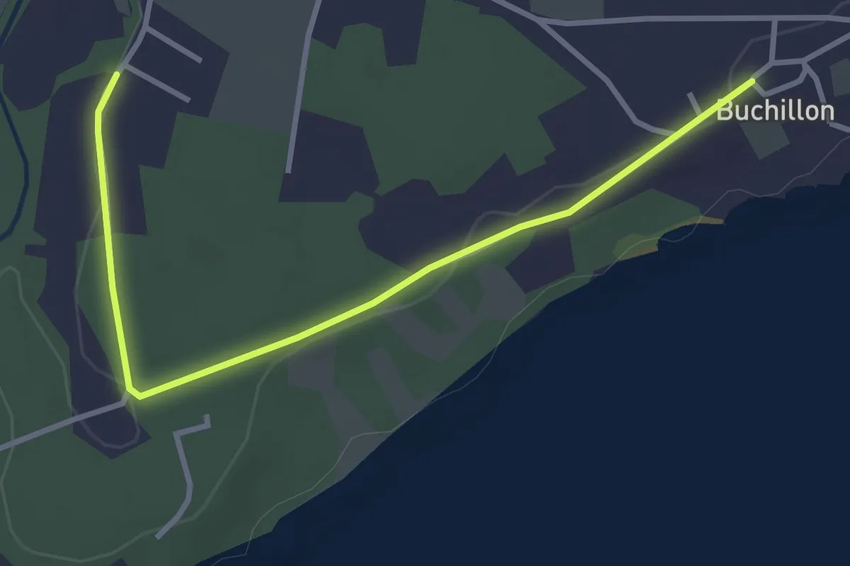
Easy · Trail
Grand Bois – Buchillon
3.4 km · ↑ 18 m · 51 min · 13 km away
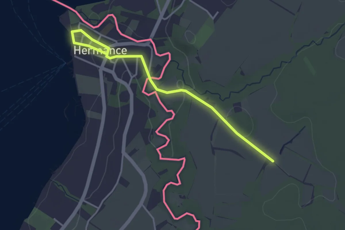
Easy · Trail
Hermance - Les Lombards (F)
3.6 km · ↑ 50 m · 58 min · 14 km away
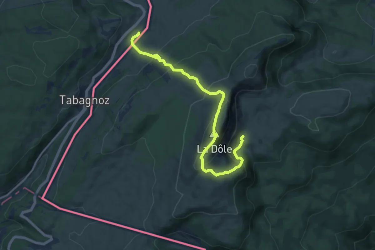
Medium · Summit
La Dôle
5.0 km · ↑ 467 m · 2 h 10 min · 14 km away
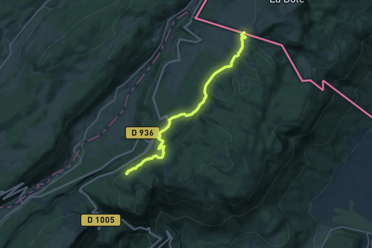
Medium · Summit
La Vieille Faucille – Petit Sonnailley
14.4 km · ↑ 681 m · 4 h 52 min · 14 km away