Trails near Goldau
649 hikes starting within 15 km, nearest first.
Nearest first, page 14 of 14
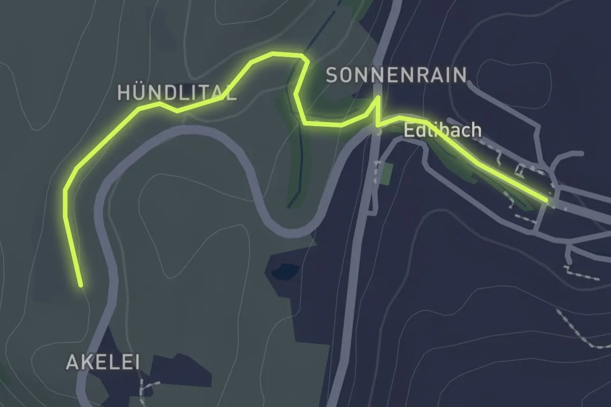
Easy · Trail
Wulfligen - Edlibach
2.5 km · ↑ 76 m · 46 min · 15 km away
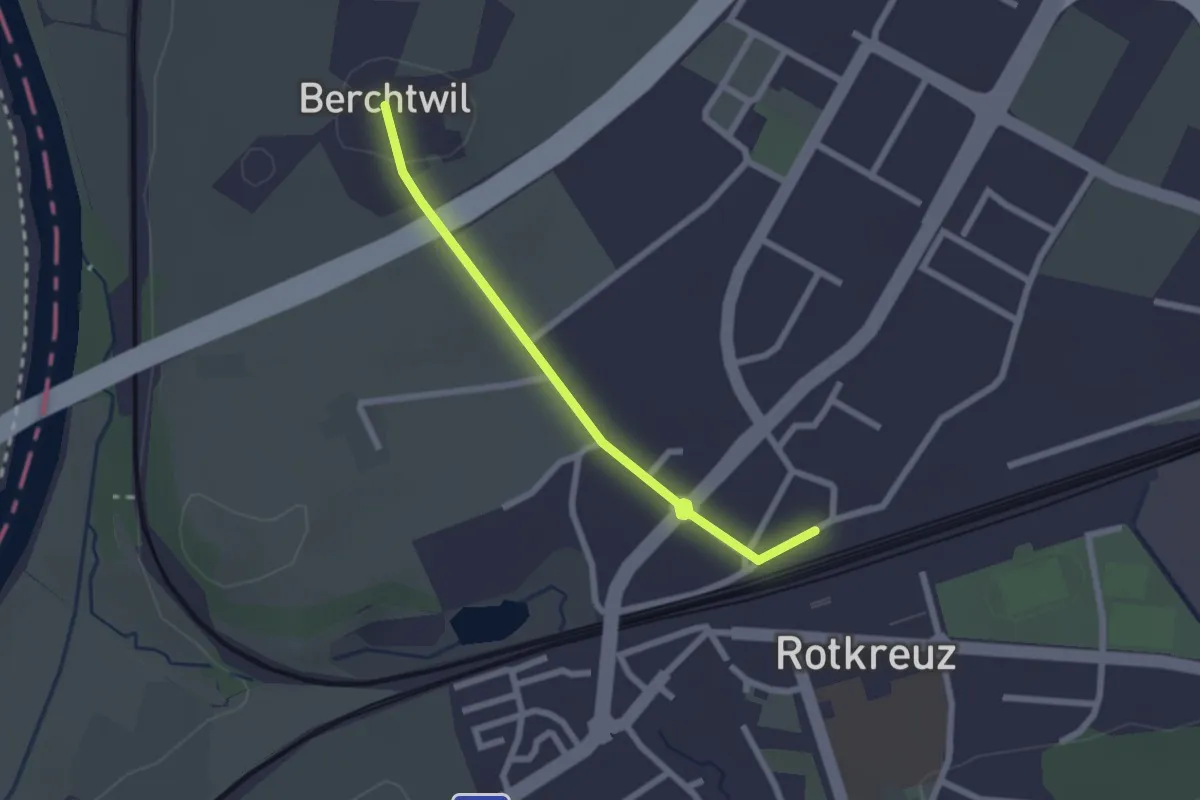
Easy · Trail
Rotkreuz - Berchtwil
2.2 km · ↑ 19 m · 33 min · 15 km away
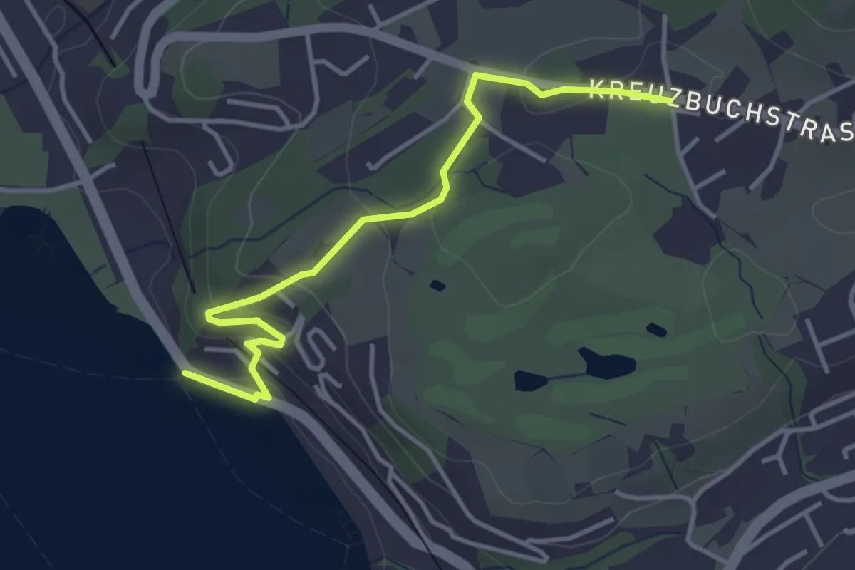
Easy · Trail
Seeburg - Buchmatt
3.8 km · ↑ 138 m · 1 h 11 min · 15 km away
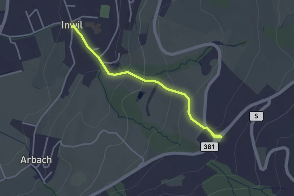
Easy · Trail
Inwil - Talacher
2.7 km · ↑ 119 m · 54 min · 15 km away
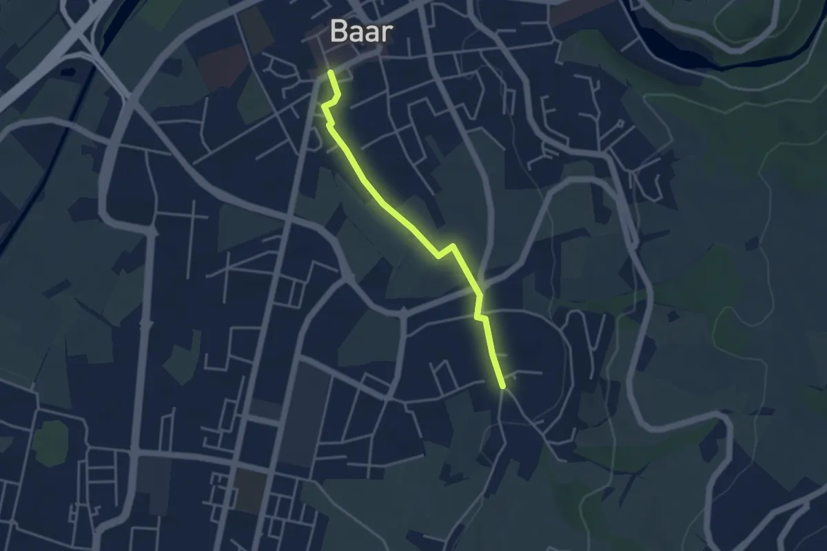
Easy · Trail
Baar Dorfstrasse - Inwil
3.3 km · ↑ 17 m · 48 min · 15 km away
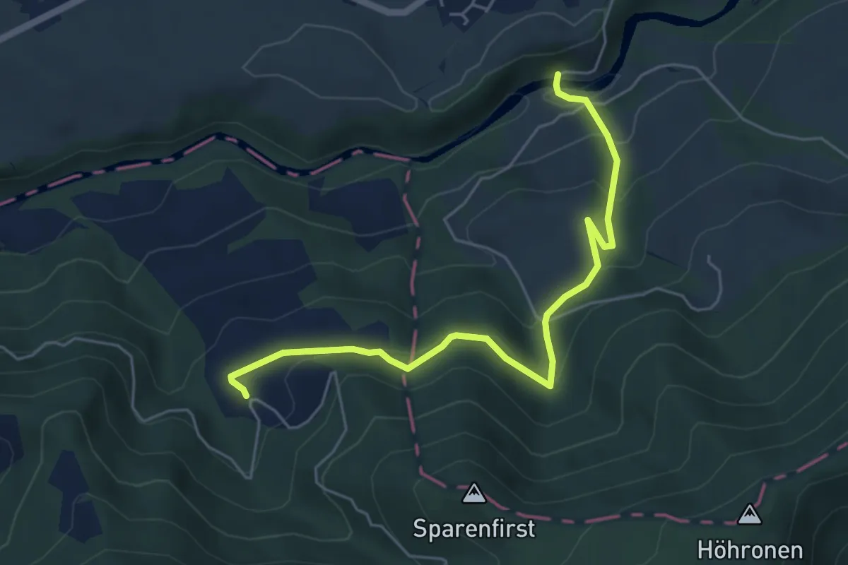
Medium · Trail
Hüttner Brugg - Sparenweid
5.4 km · ↑ 332 m · 2 h · 15 km away
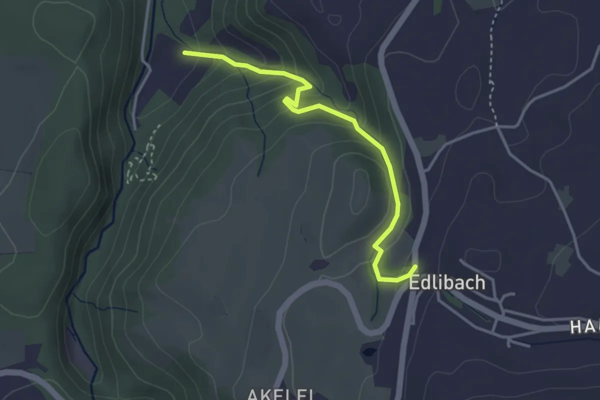
Easy · Trail
Edlibach - Höll
3.2 km · ↑ 254 m · 1 h 19 min · 15 km away
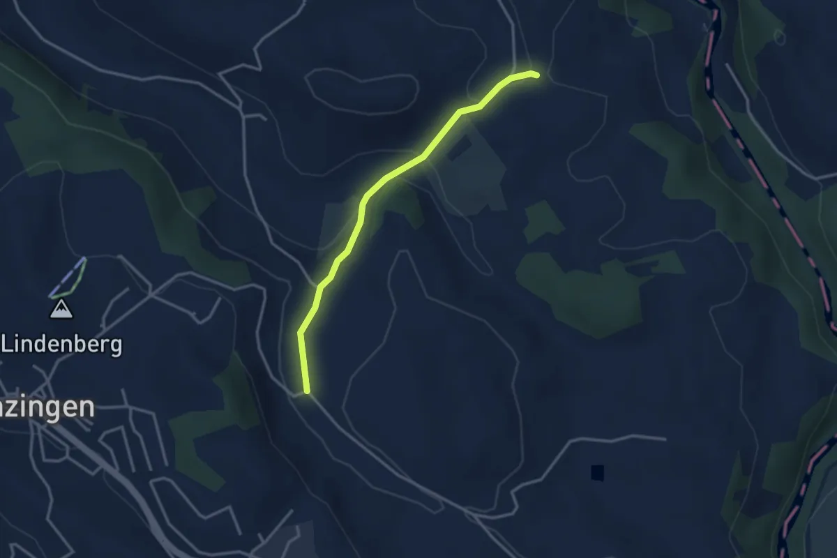
Easy · Trail
Schwand - Brättigen
2.9 km · ↑ 85 m · 52 min · 15 km away
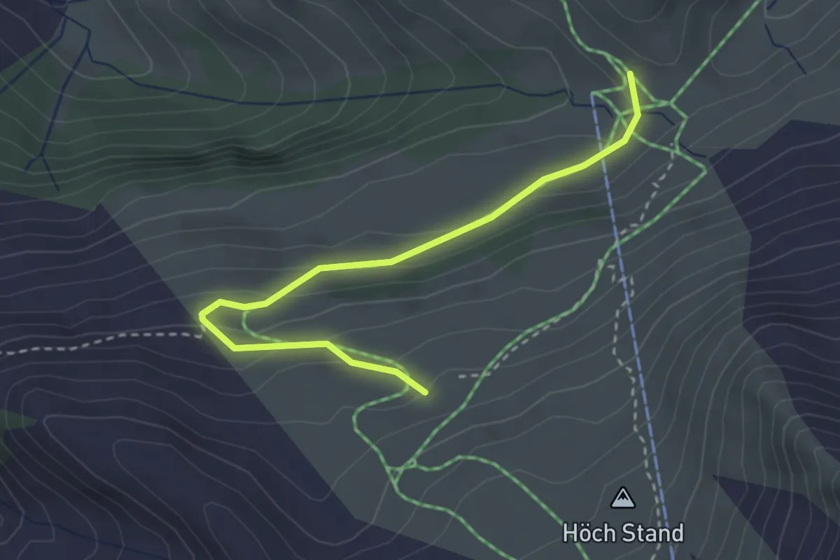
Easy · Trail
Büel – Stafel
3.1 km · ↑ 126 m · 1 h · 15 km away
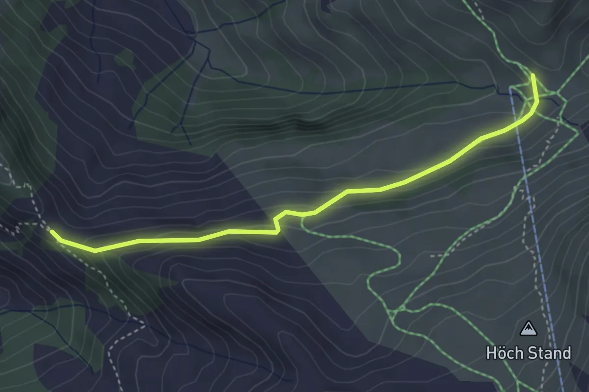
Medium · Trail
Stafel - Bärenfallen
3.7 km · ↑ 163 m · 1 h 14 min · 15 km away
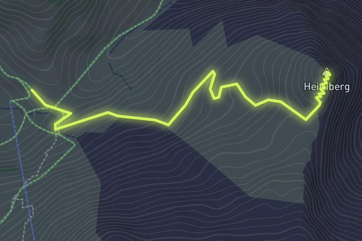
Easy · Summit
Stafel – Heitliberg
3.3 km · ↑ 198 m · 1 h 13 min · 15 km away
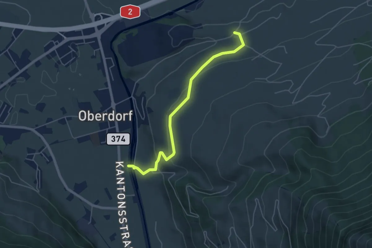
Easy · Trail
Ännerberg – Hostettenstäg
4.7 km · ↑ 158 m · 1 h 27 min · 15 km away
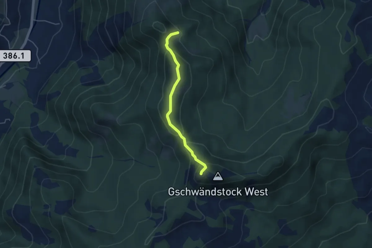
Medium · Summit
Stockhütte – Butziflue
3.5 km · ↑ 222 m · 1 h 18 min · 15 km away
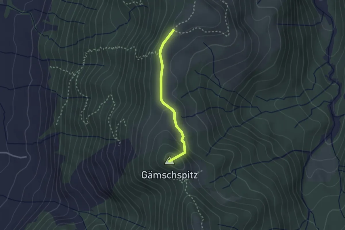
Easy · Summit
Amselschwänd - Stockhütte
2.1 km · ↑ 93 m · 42 min · 15 km away
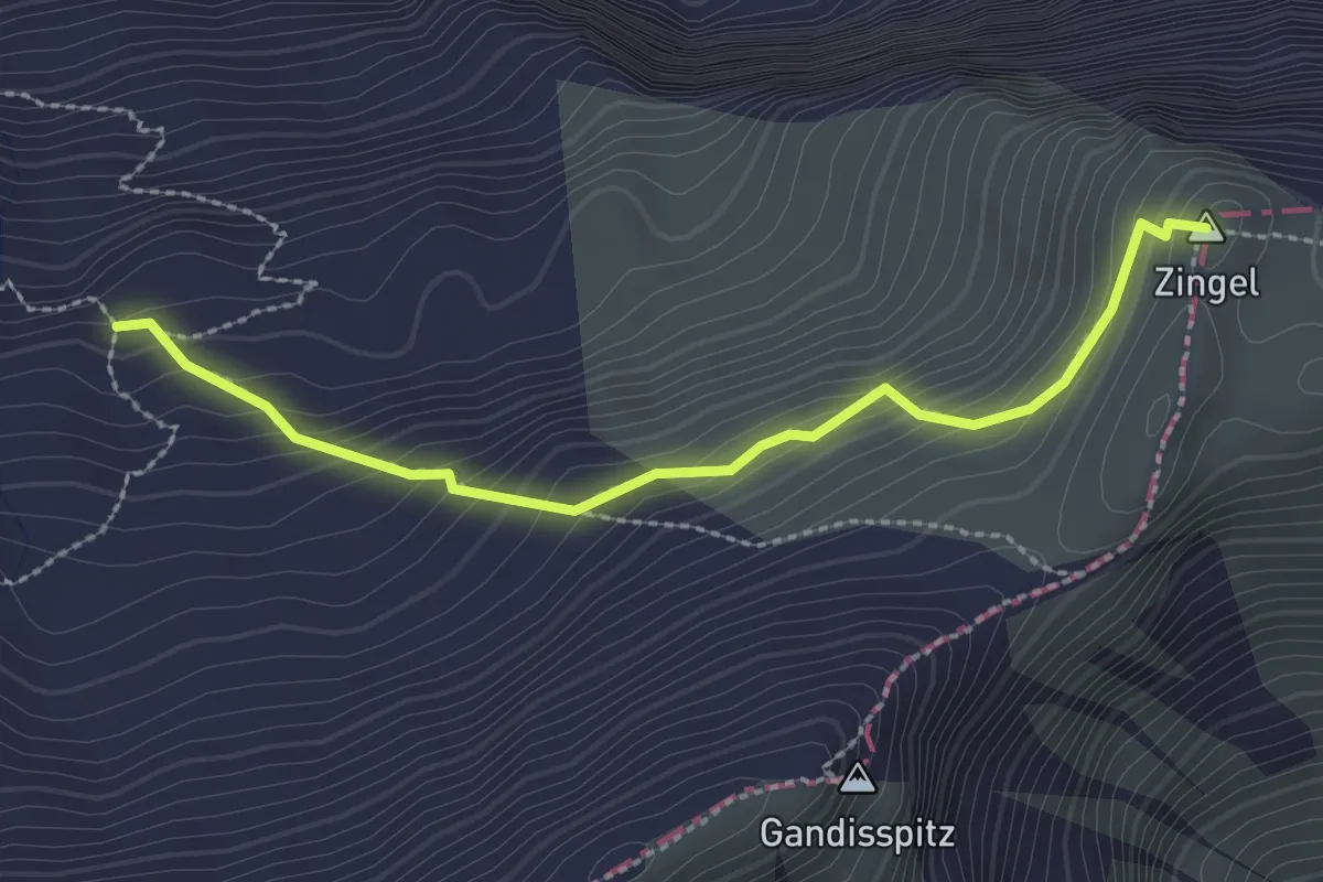
Demanding · Summit
Zingel - Färbital
2.5 km · ↑ 227 m · 1 h 5 min · 15 km away
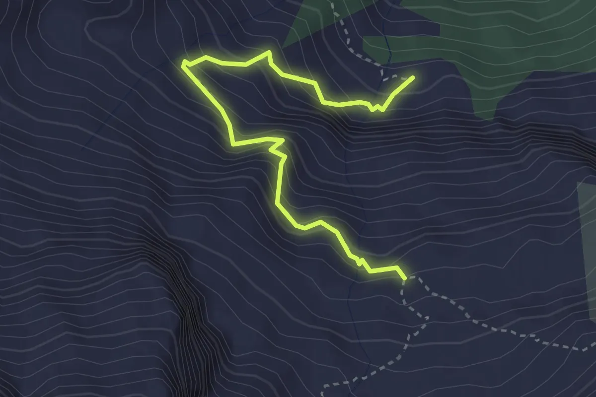
Demanding · Trail
Färnital - Wandeli
3.4 km · ↑ 484 m · 1 h 50 min · 15 km away
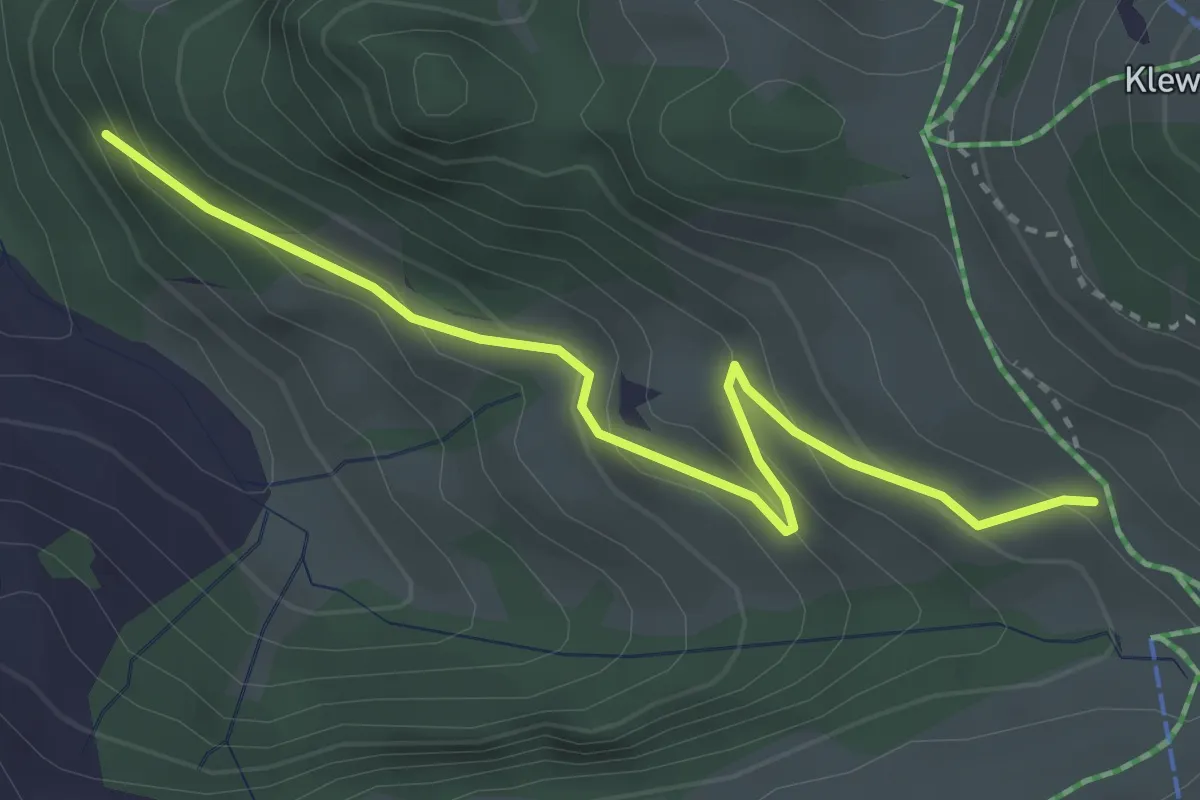
Easy · Trail
Tannibüel – Unter Bachscheiti
3.3 km · ↑ 230 m · 1 h 17 min · 15 km away
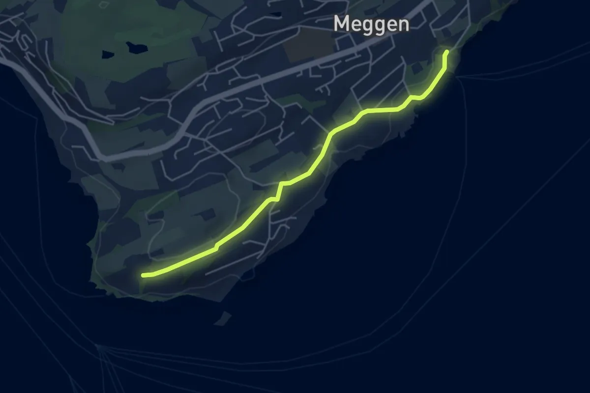
Easy · Trail
Meggenhorn - Meggen (Schiff)
4.5 km · ↑ 98 m · 1 h 16 min · 15 km away
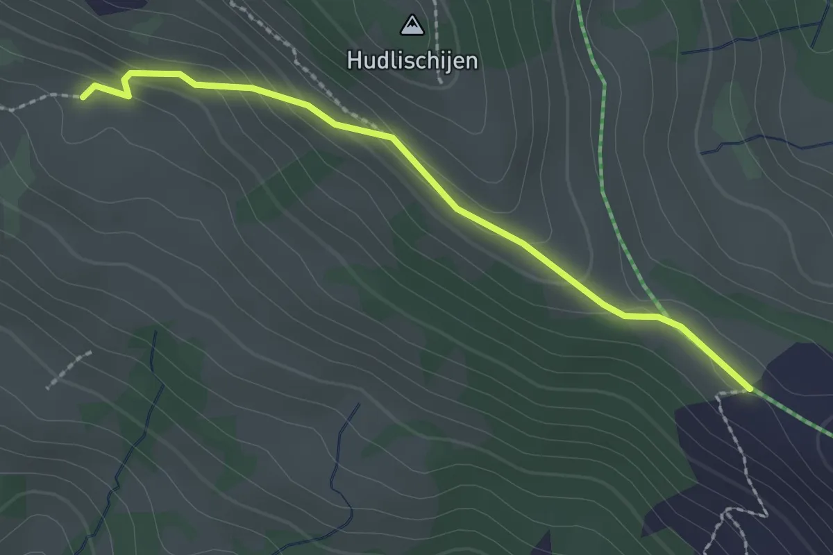
Easy · Cabin
Sternenegg – Ober Altberg
2.2 km · ↑ 108 m · 45 min · 15 km away
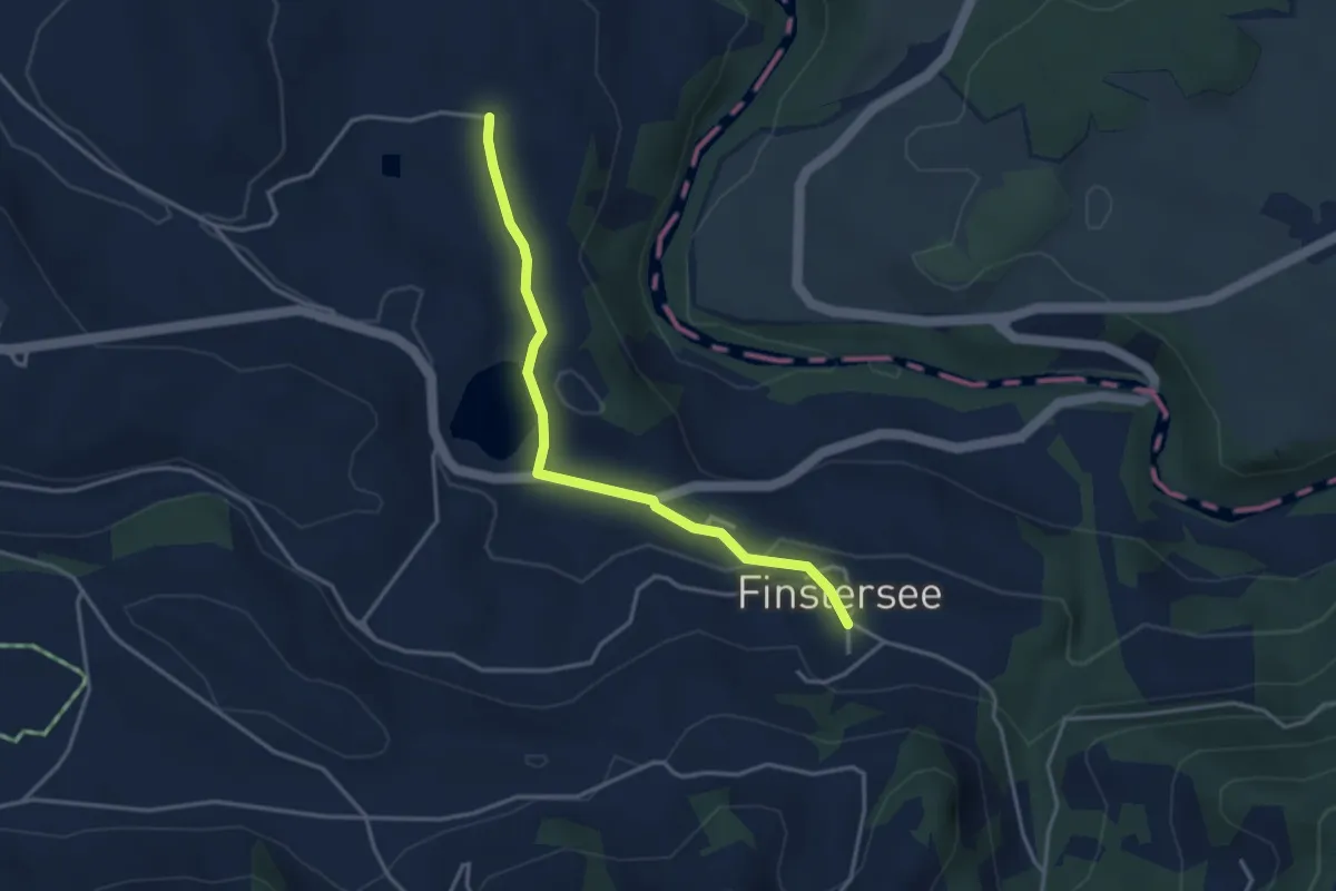
Easy · Trail
Finstersee - Hintercher
3.5 km · ↑ 79 m · 1 h · 15 km away
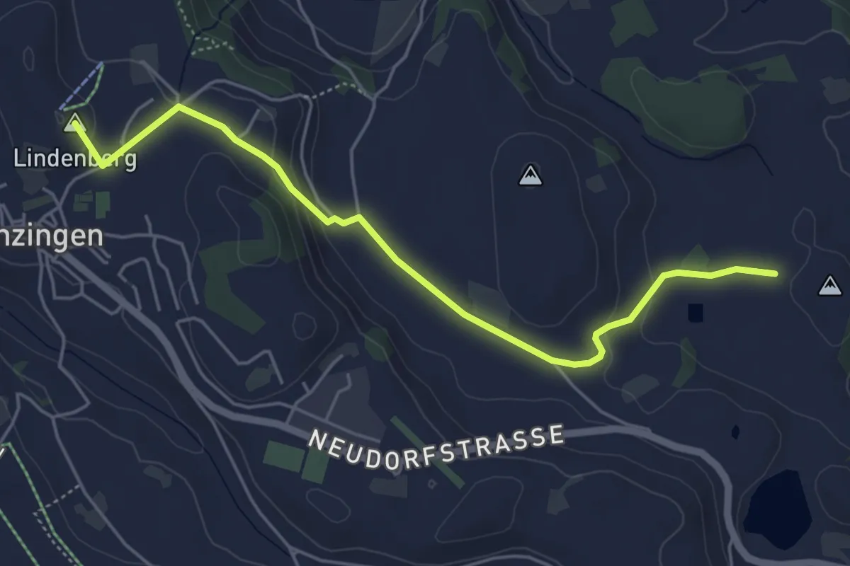
Easy · Summit
Hintercher - Menzingen
5.2 km · ↑ 158 m · 1 h 35 min · 15 km away
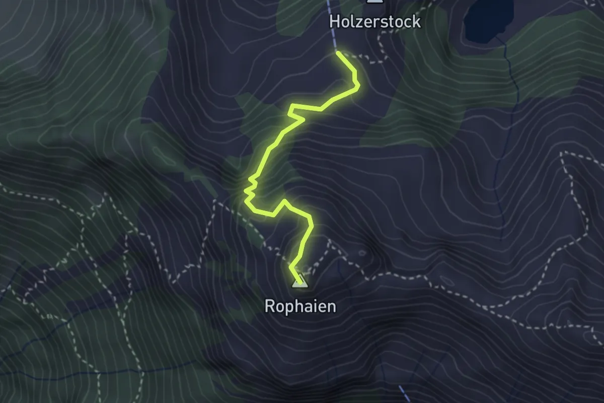
Demanding · Summit
Stock - Rophaien
2.5 km · ↑ 315 m · 1 h 17 min · 15 km away
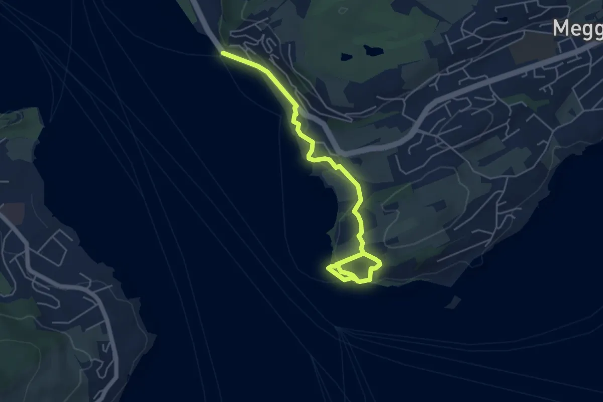
Easy · Trail
Seeburg - Meggenhorn
5.6 km · ↑ 209 m · 1 h 47 min · 15 km away
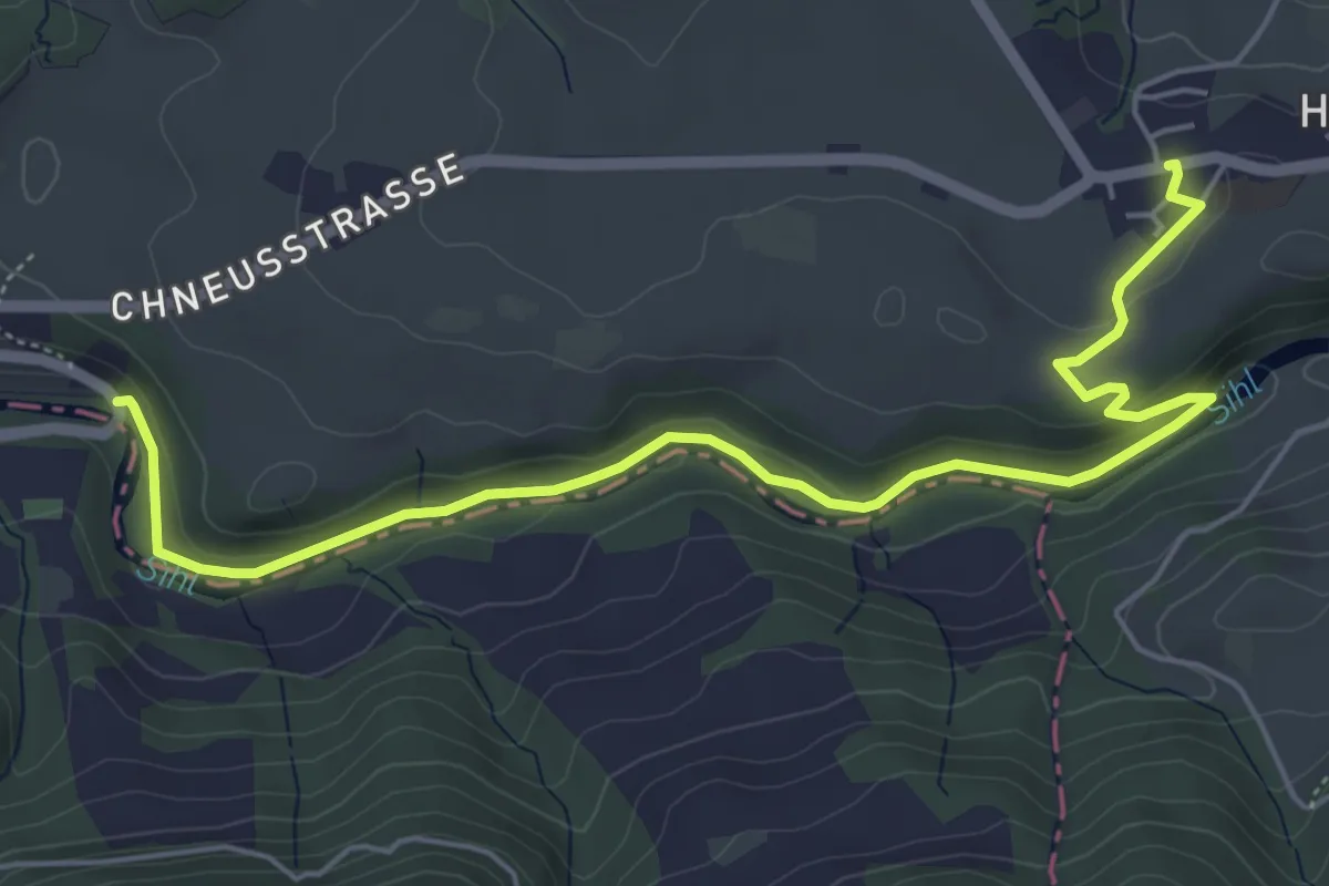
Easy · Trail
Hütten - Finsterseebrugg
6.3 km · ↑ 160 m · 1 h 51 min · 15 km away
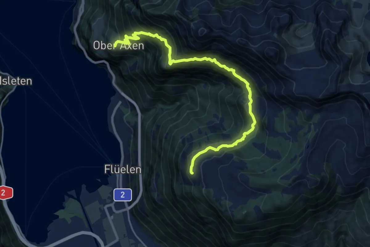
Demanding · Trail
Wildheupfad
14.6 km · ↑ 1145 m · 5 h 56 min · 15 km away