Trails near Gossau ZH
580 hikes starting within 15 km, nearest first.
Nearest first, page 9 of 13
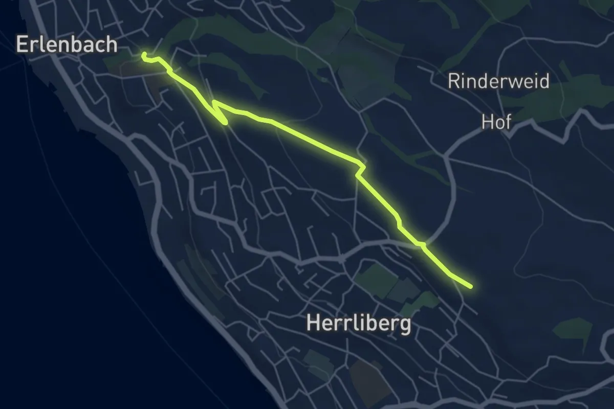
Easy · Trail
Erlenbach Dorfbach – Wängi
5.0 km · ↑ 127 m · 1 h 28 min · 12 km away
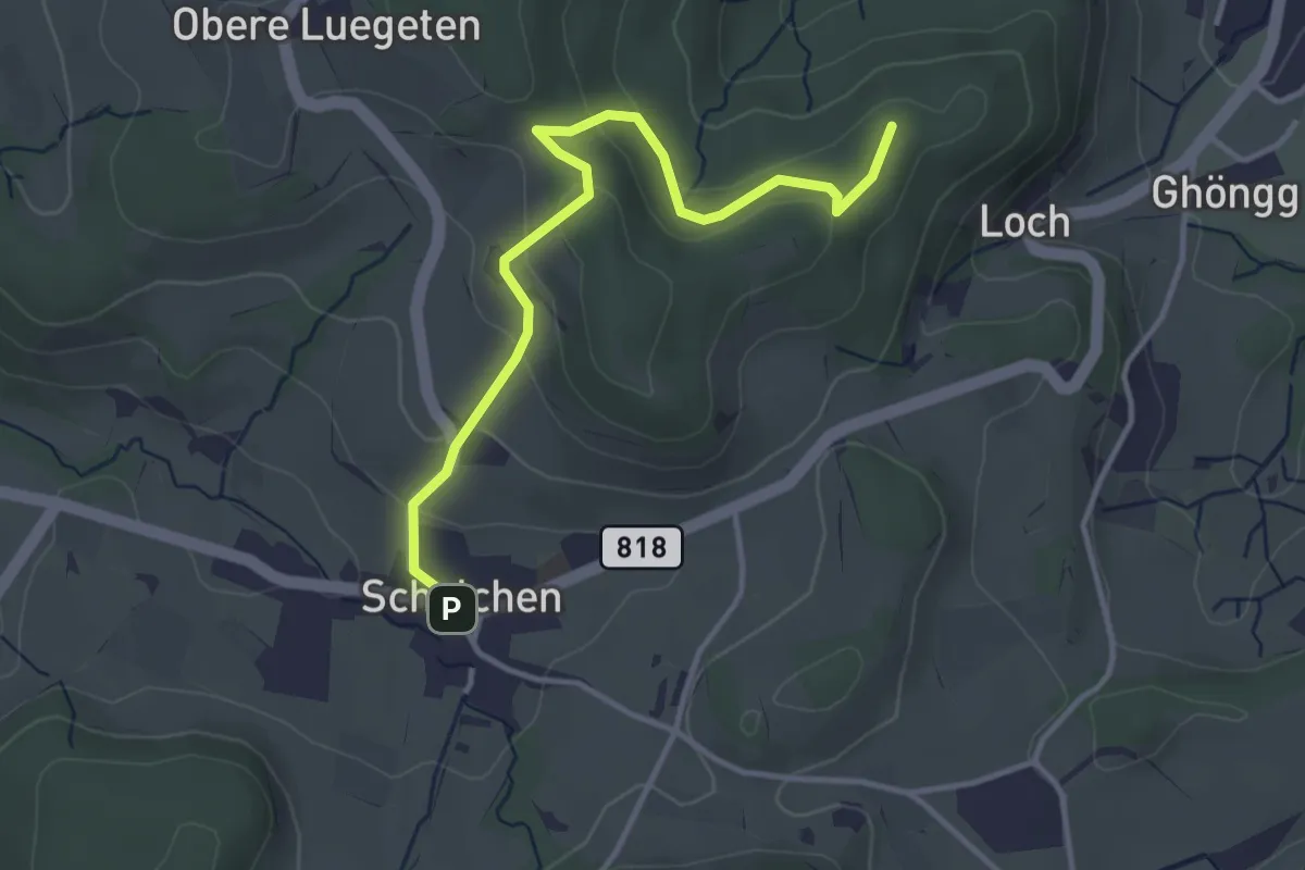
Easy · Summit
Wila Stn. - Schalchen
3.7 km · ↑ 146 m · 1 h 11 min · 12 km away
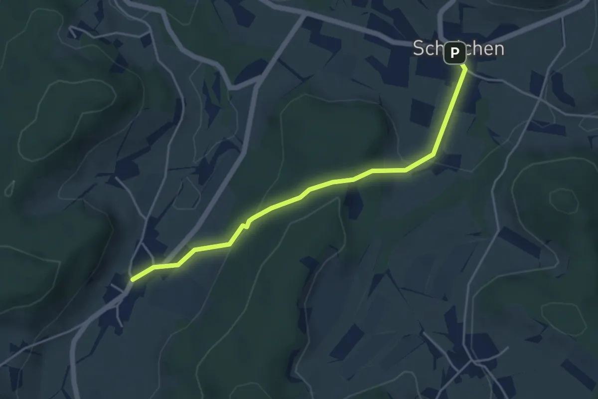
Easy · Trail
Schalchen – Gündisau
3.9 km · ↑ 147 m · 1 h 15 min · 12 km away
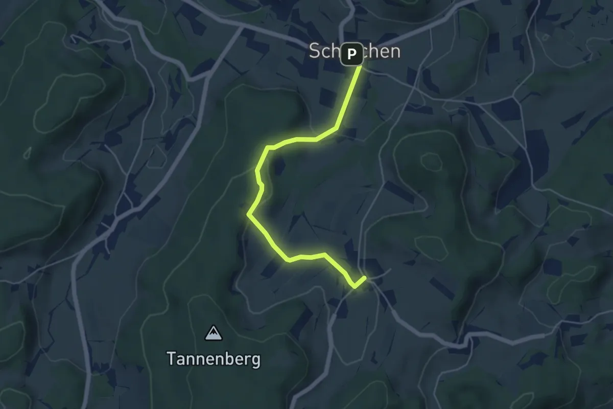
Easy · Trail
Hermatswil – Schalchen
4.6 km · ↑ 146 m · 1 h 24 min · 12 km away
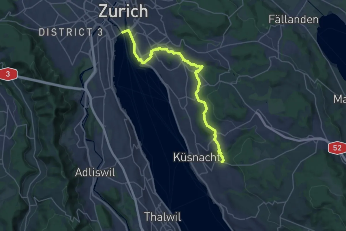
Demanding · Trail
Zürichsee Rundweg - Etappe 10
21.9 km · ↑ 333 m · 5 h 53 min · 12 km away
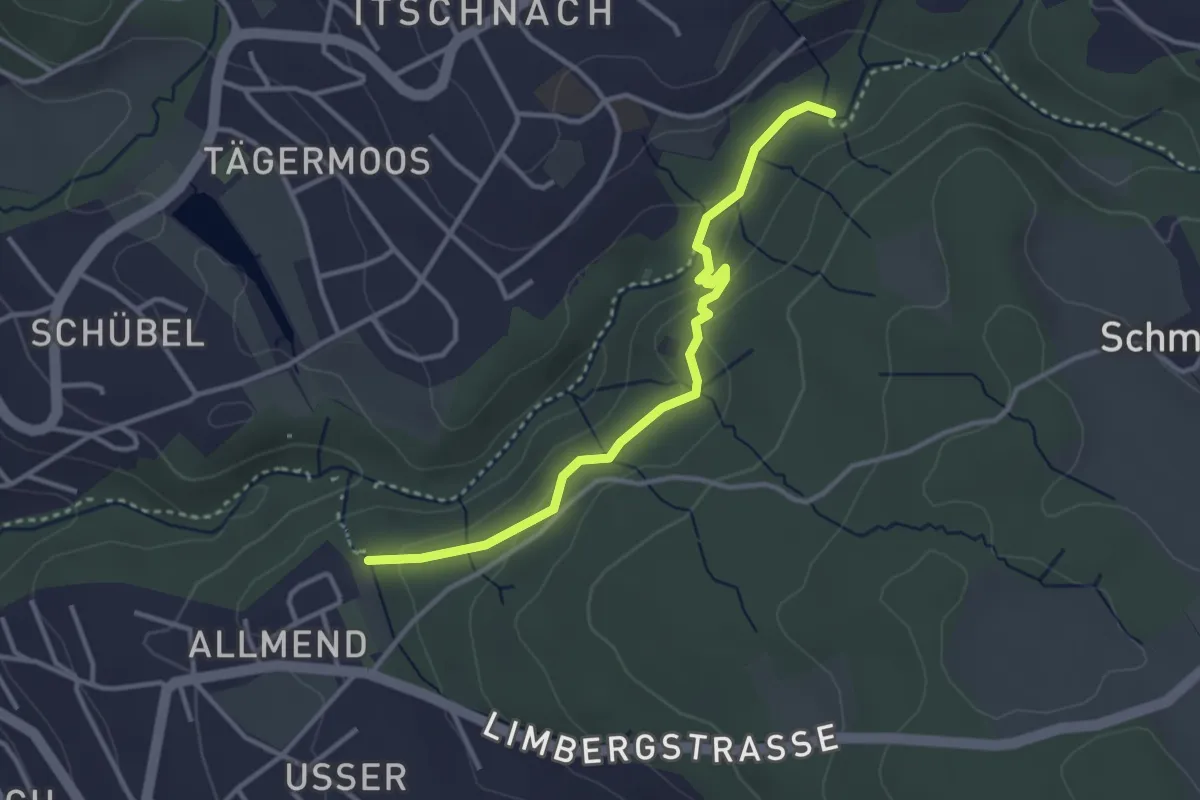
Easy · Trail
Küsnachter Tobel – Johannisburg
3.3 km · ↑ 108 m · 1 h · 12 km away
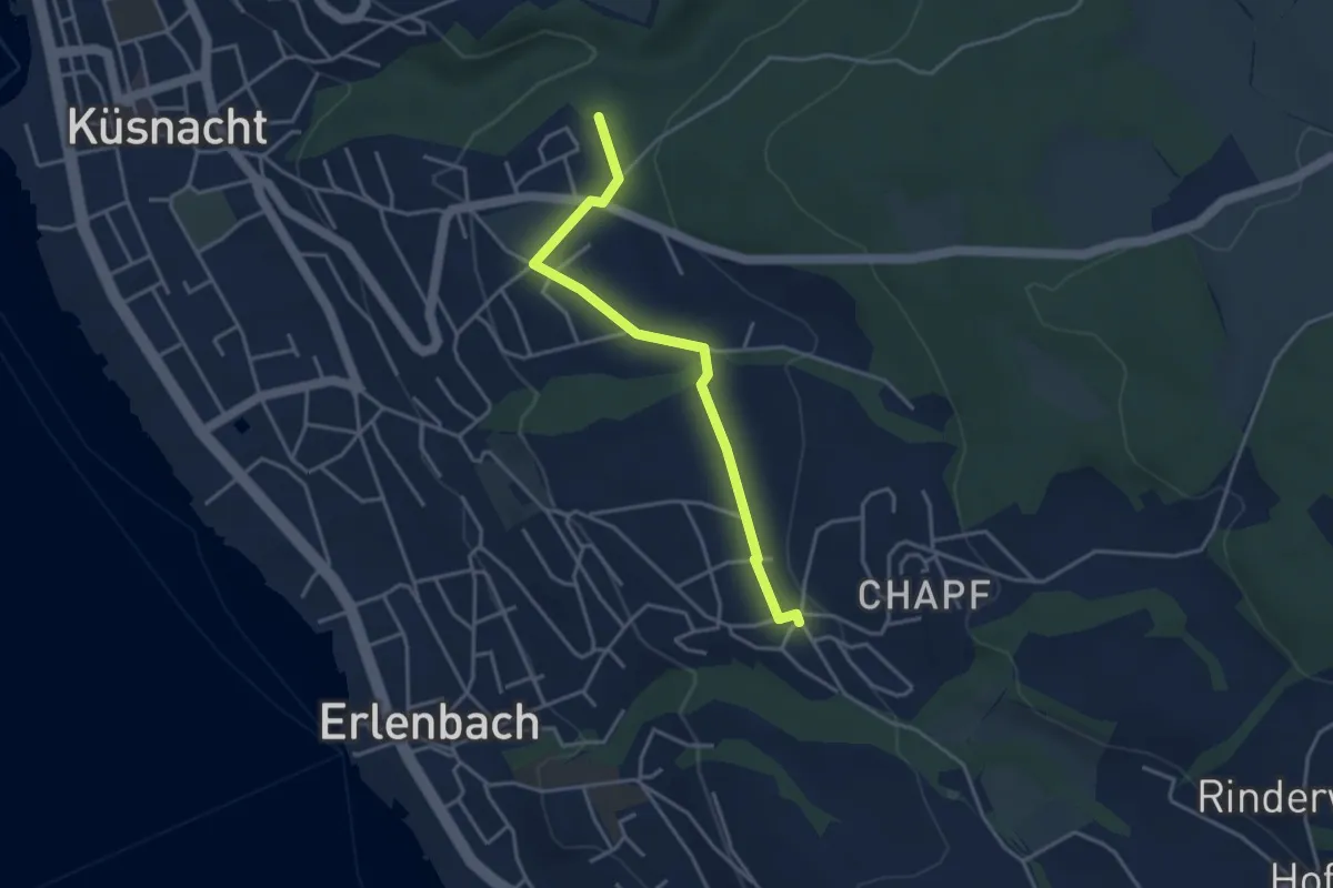
Easy · Trail
Küsnachter Tobel – Erlenbach Allmend
3.6 km · ↑ 47 m · 58 min · 12 km away
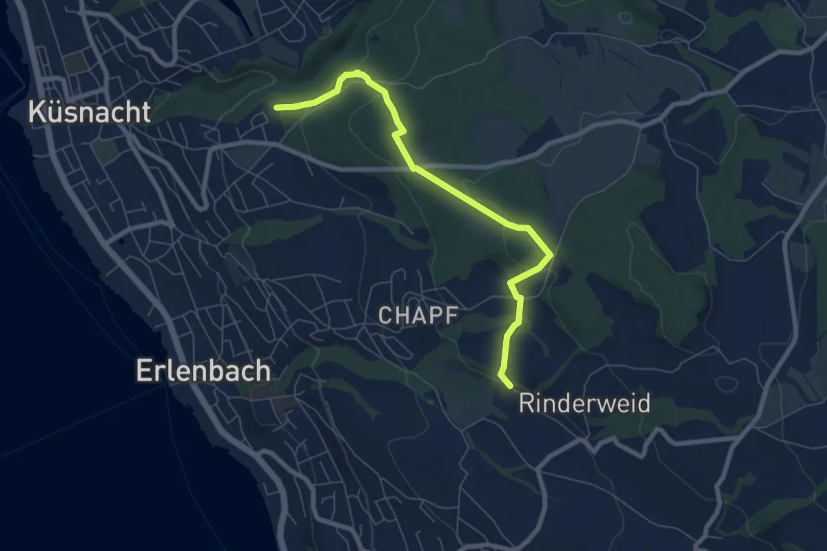
Easy · Trail
Küsnachter Tobel – Blüemlisalp
6.6 km · ↑ 227 m · 2 h 3 min · 12 km away
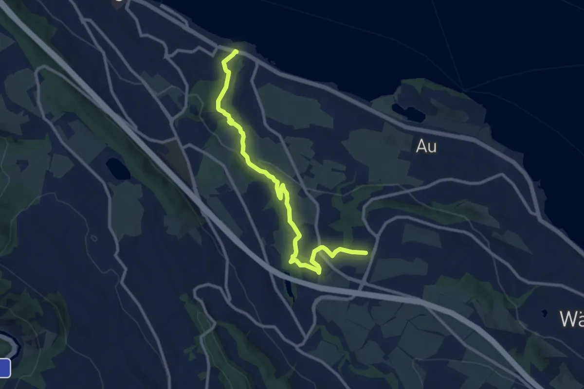
Medium · Trail
Käpfnach (Bus) – Neubühl
9.0 km · ↑ 212 m · 2 h 36 min · 12 km away
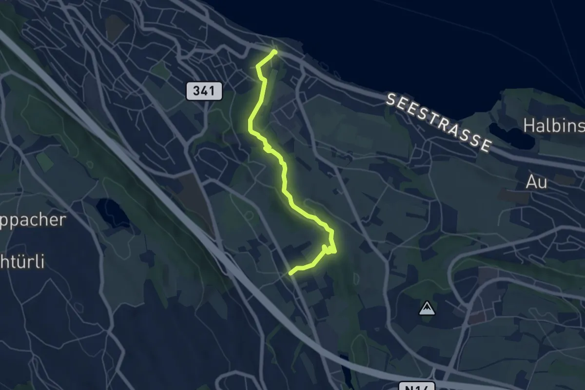
Easy · Trail
Käpfnach (Bus) – Arn
5.3 km · ↑ 151 m · 1 h 35 min · 12 km away
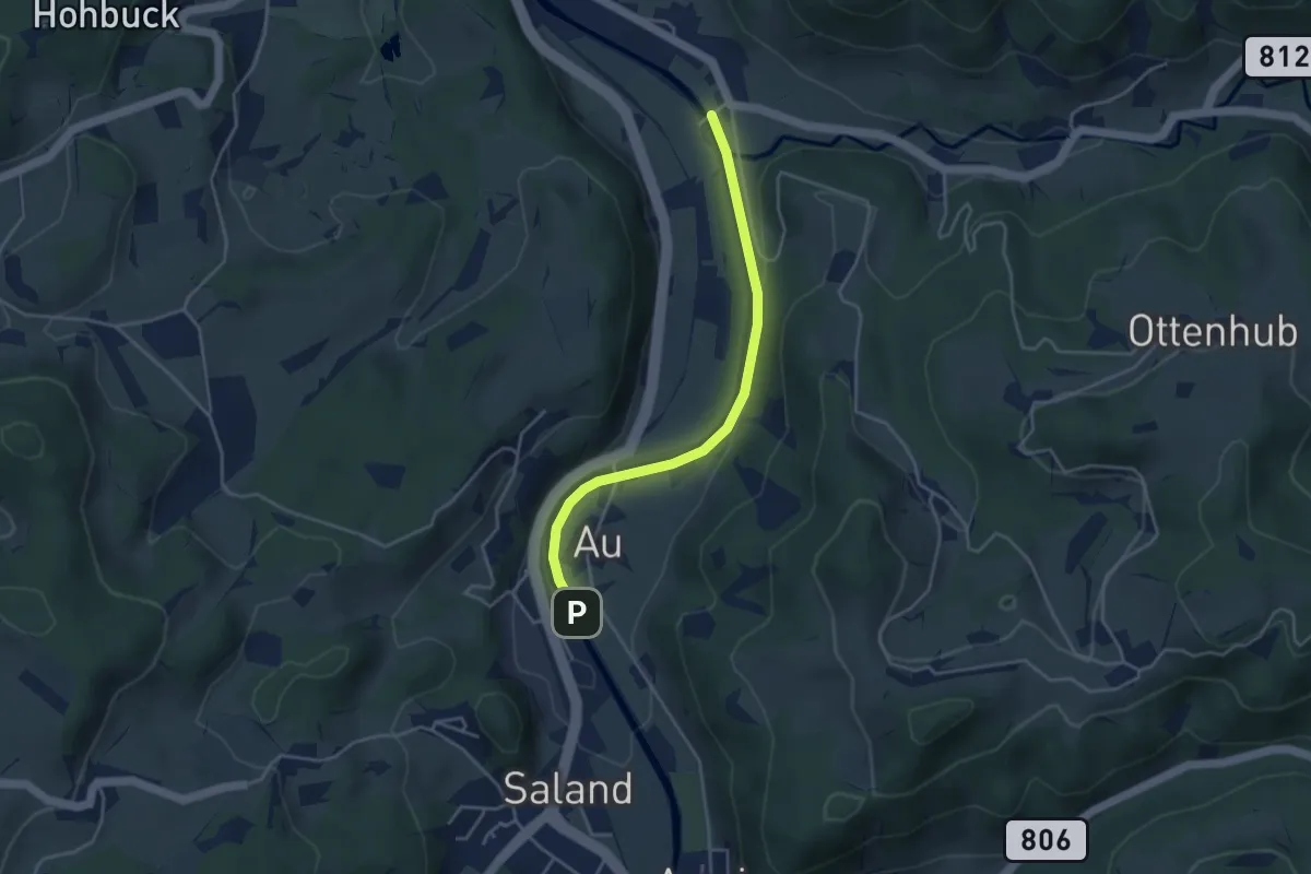
Easy · Trail
Saland – Tablat
3.7 km · ↑ 33 m · 57 min · 12 km away
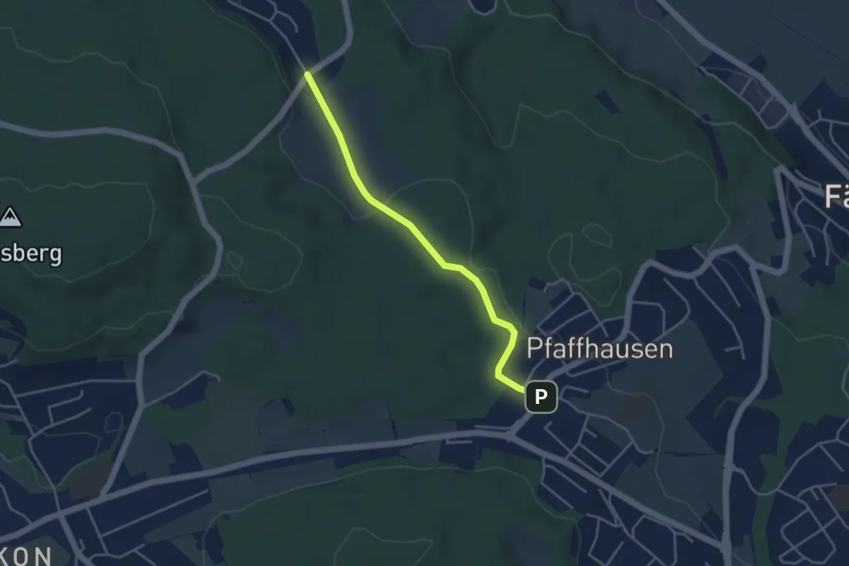
Easy · Trail
Pfaffhausen - Geeren
3.5 km · ↑ 86 m · 1 h 1 min · 12 km away
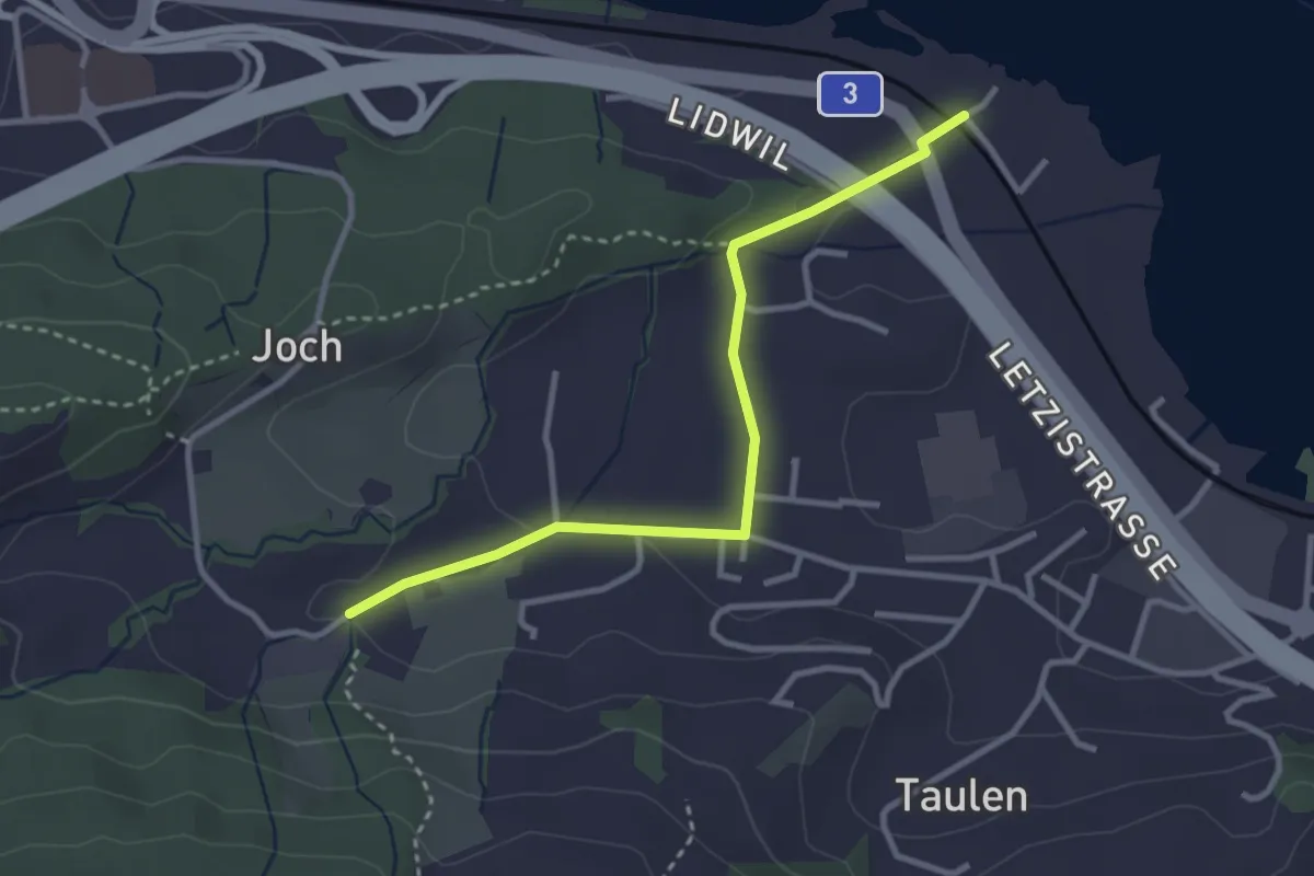
Easy · Trail
Lidwil - Tal
3.1 km · ↑ 59 m · 51 min · 12 km away
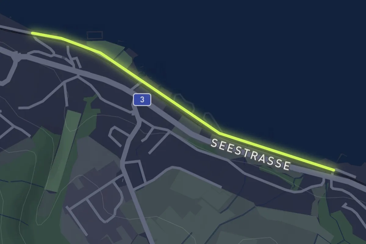
Easy · Trail
Käpfnach – Meilibach
2.4 km · ↑ 8 m · 35 min · 12 km away
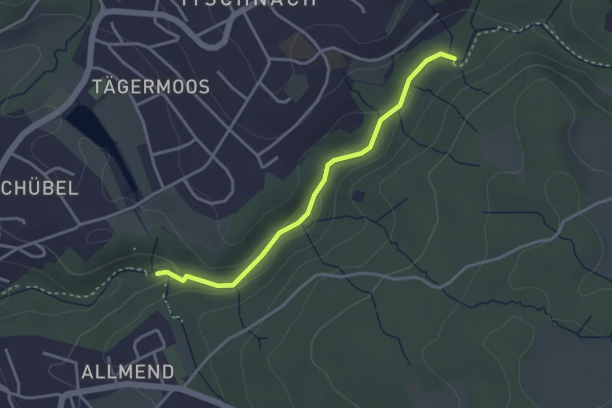
Easy · Trail
Küsnacht Dorfbach – Johannisburg
2.8 km · ↑ 68 m · 48 min · 12 km away
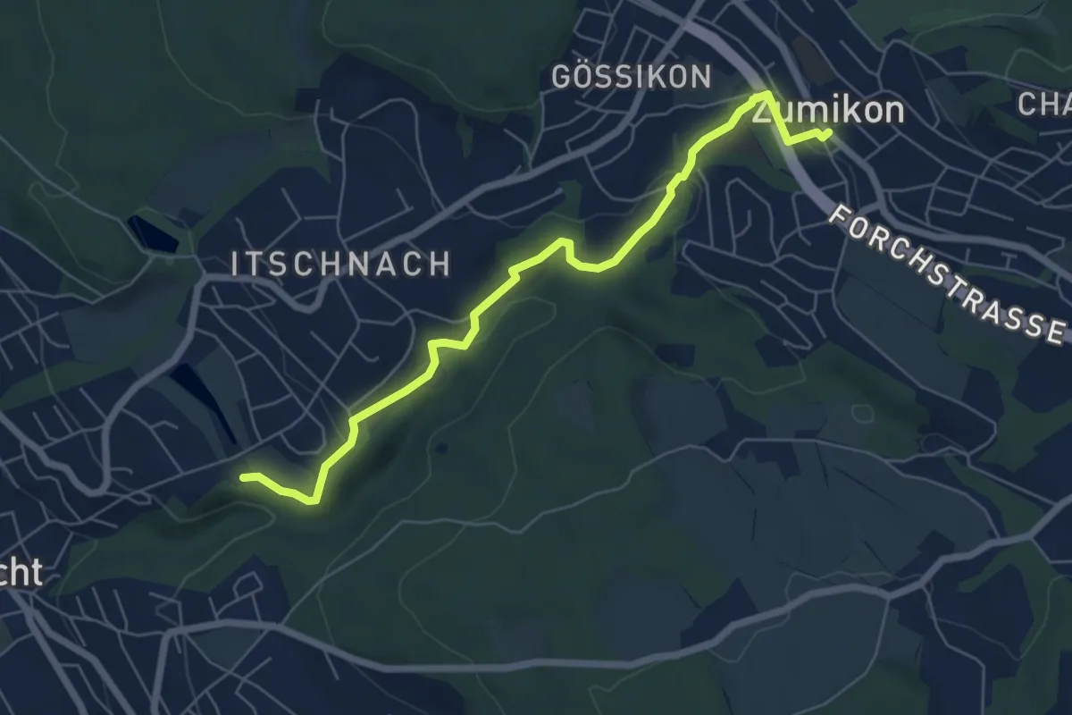
Easy · Trail
Schübelweiher - Zumikon
6.3 km · ↑ 177 m · 1 h 53 min · 12 km away
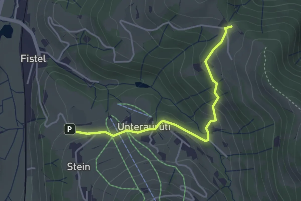
Easy · Trail
Aurüti – Tannen
3.3 km · ↑ 135 m · 1 h 5 min · 12 km away
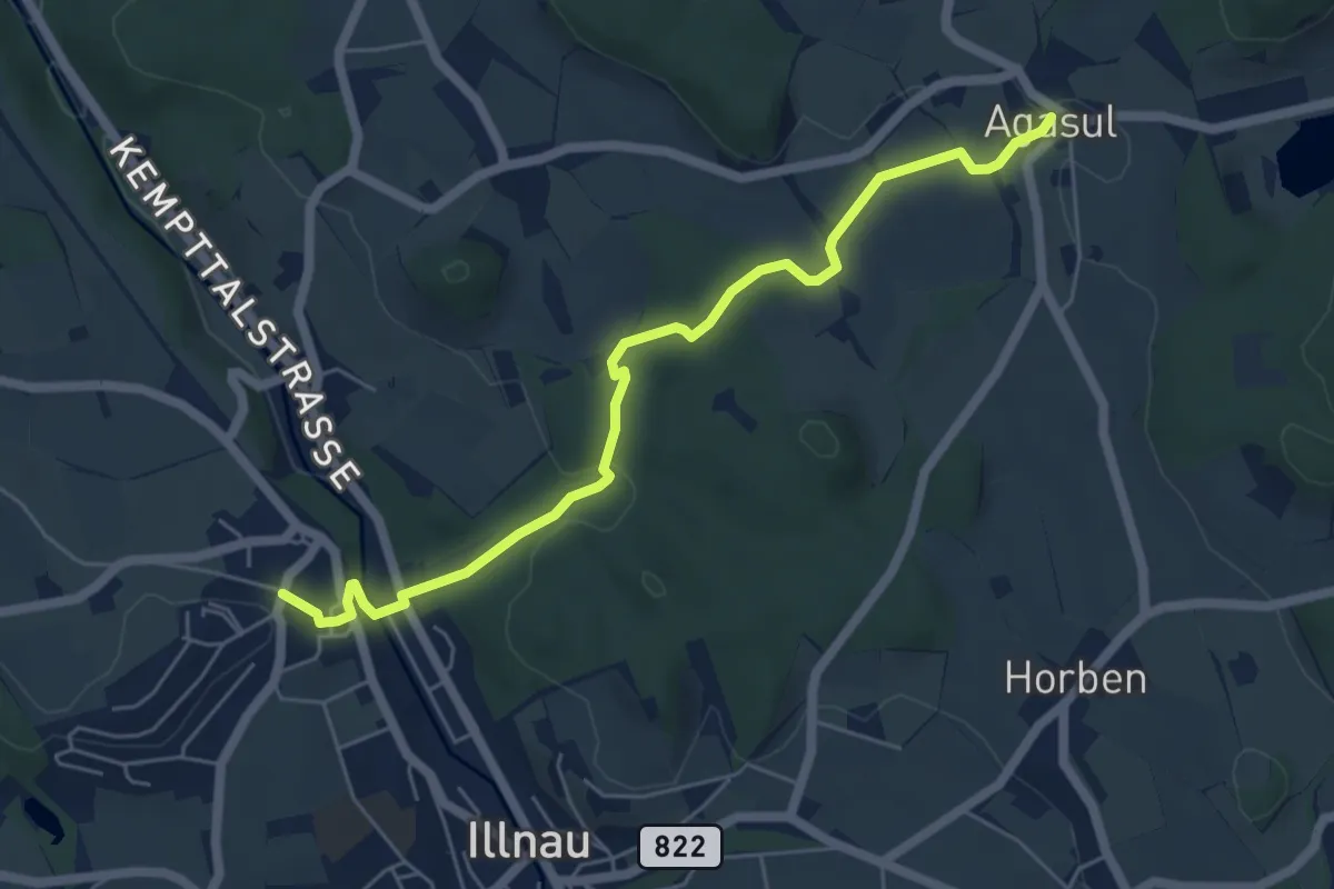
Easy · Trail
Oberillnau – Agasul
5.9 km · ↑ 143 m · 1 h 42 min · 12 km away
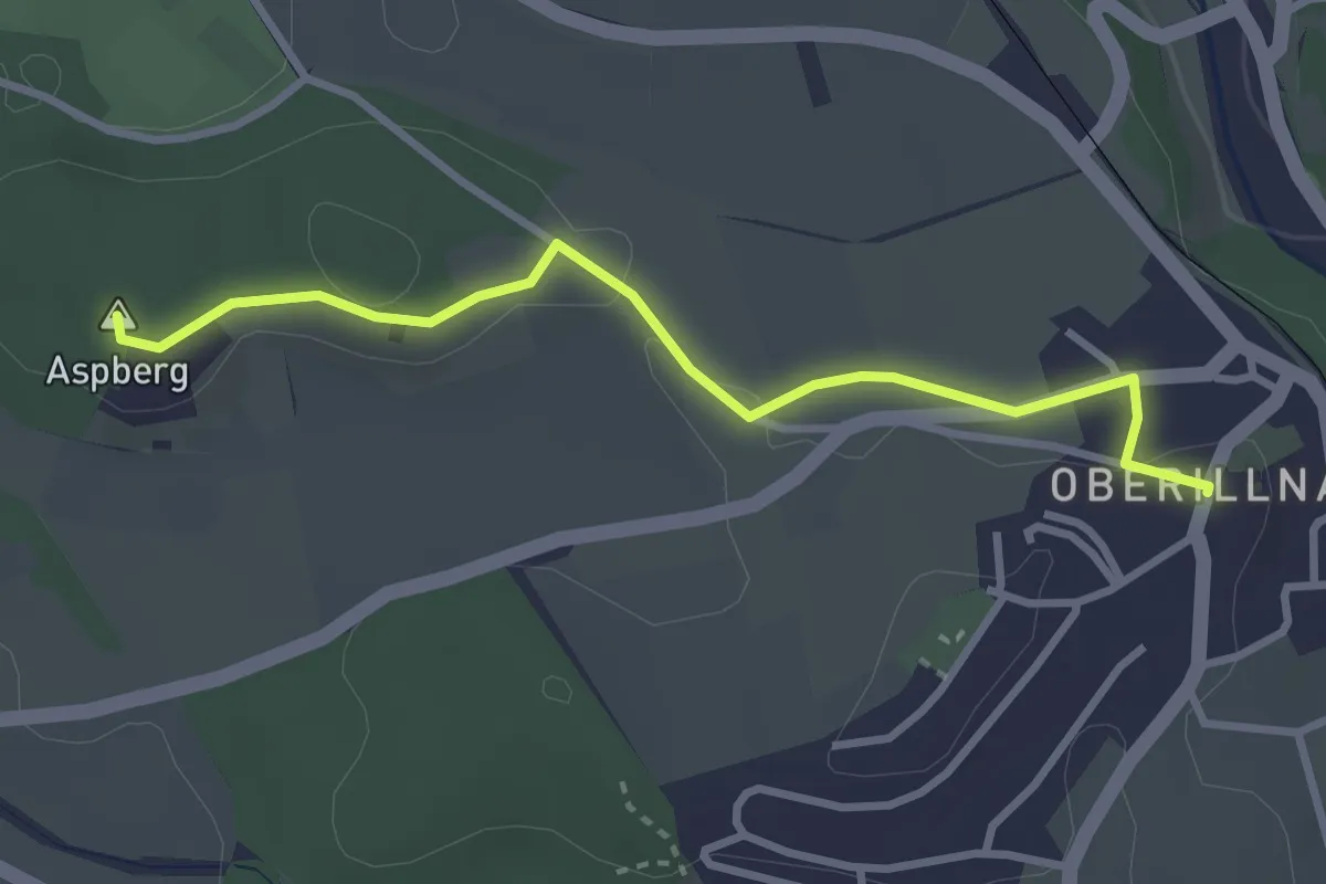
Easy · Summit
Moosburg – Oberillnau
3.1 km · ↑ 31 m · 48 min · 12 km away
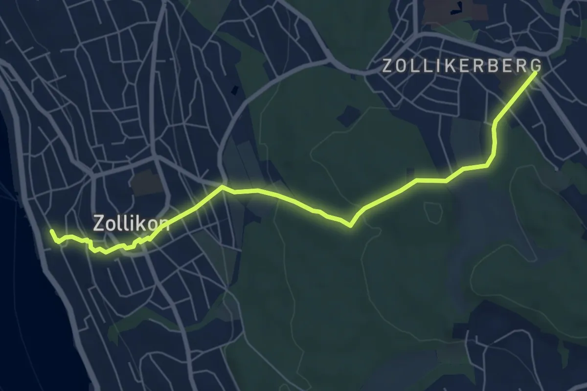
Easy · Trail
Zollikon – Zollikerberg
6.7 km · ↑ 245 m · 2 h 7 min · 13 km away
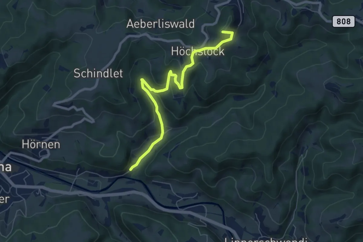
Easy · Summit
Tüfenbach - Sternenberg
6.2 km · ↑ 309 m · 2 h 8 min · 13 km away
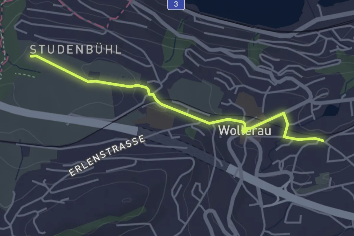
Easy · Trail
Wollerau - Schwalbenboden
3.7 km · ↑ 51 m · 59 min · 13 km away
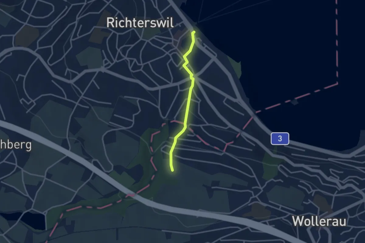
Easy · Trail
Richterswil Bahnhof - Schwalbenboden
2.3 km · ↑ 115 m · 48 min · 13 km away
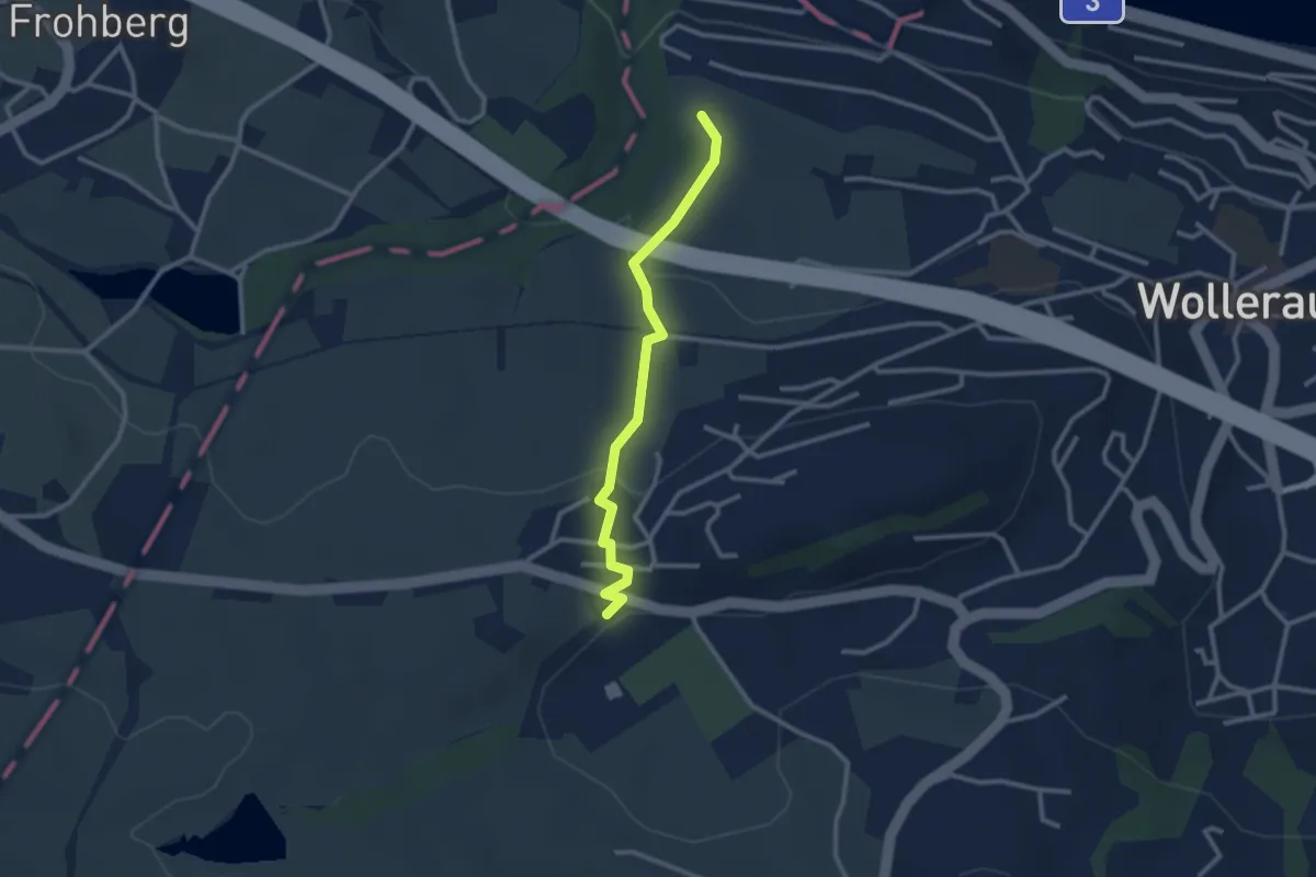
Easy · Trail
Sportplatz Erlen - Schwalbenboden
2.6 km · ↑ 94 m · 49 min · 13 km away
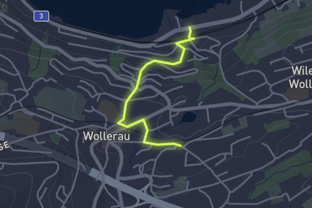
Easy · Trail
Wollerau - Bäch Bahnhof
2.7 km · ↑ 107 m · 52 min · 13 km away
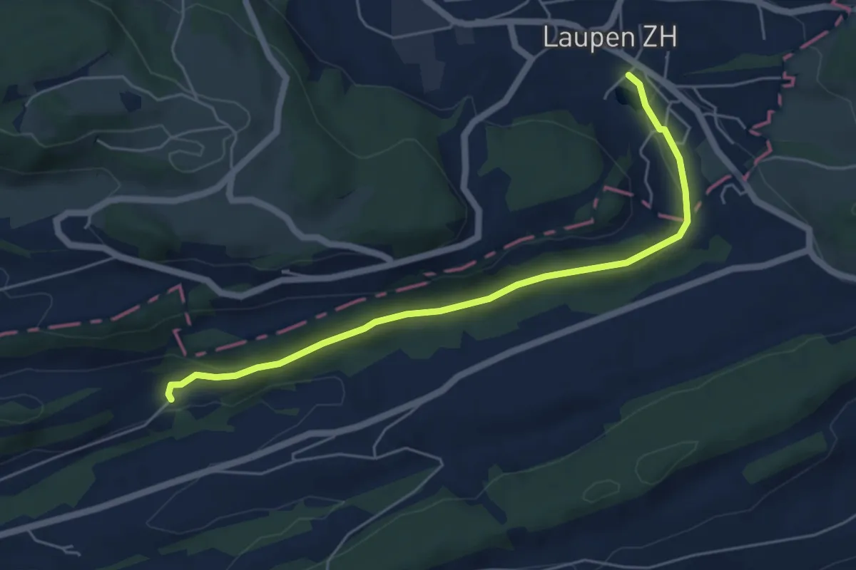
Easy · Trail
Kraueren – Laupen
5.4 km · ↑ 128 m · 1 h 33 min · 13 km away
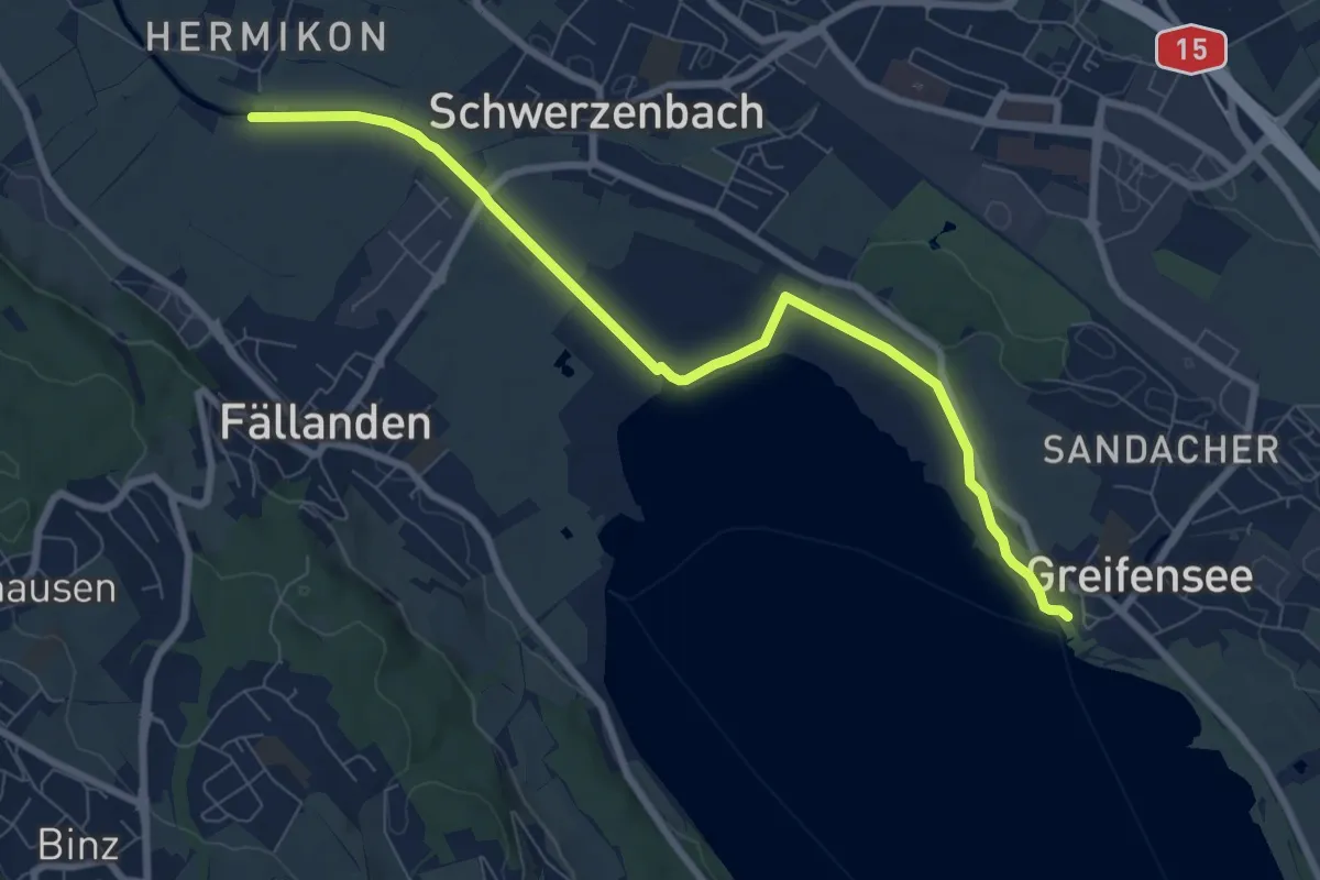
Medium · Trail
Hermikon – Greifensee
8.4 km · ↑ 13 m · 2 h · 13 km away
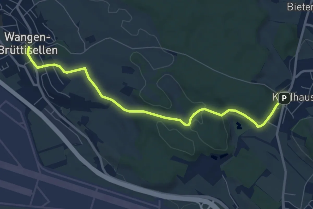
Easy · Trail
Kindhausen – Wangen
6.8 km · ↑ 155 m · 1 h 57 min · 13 km away
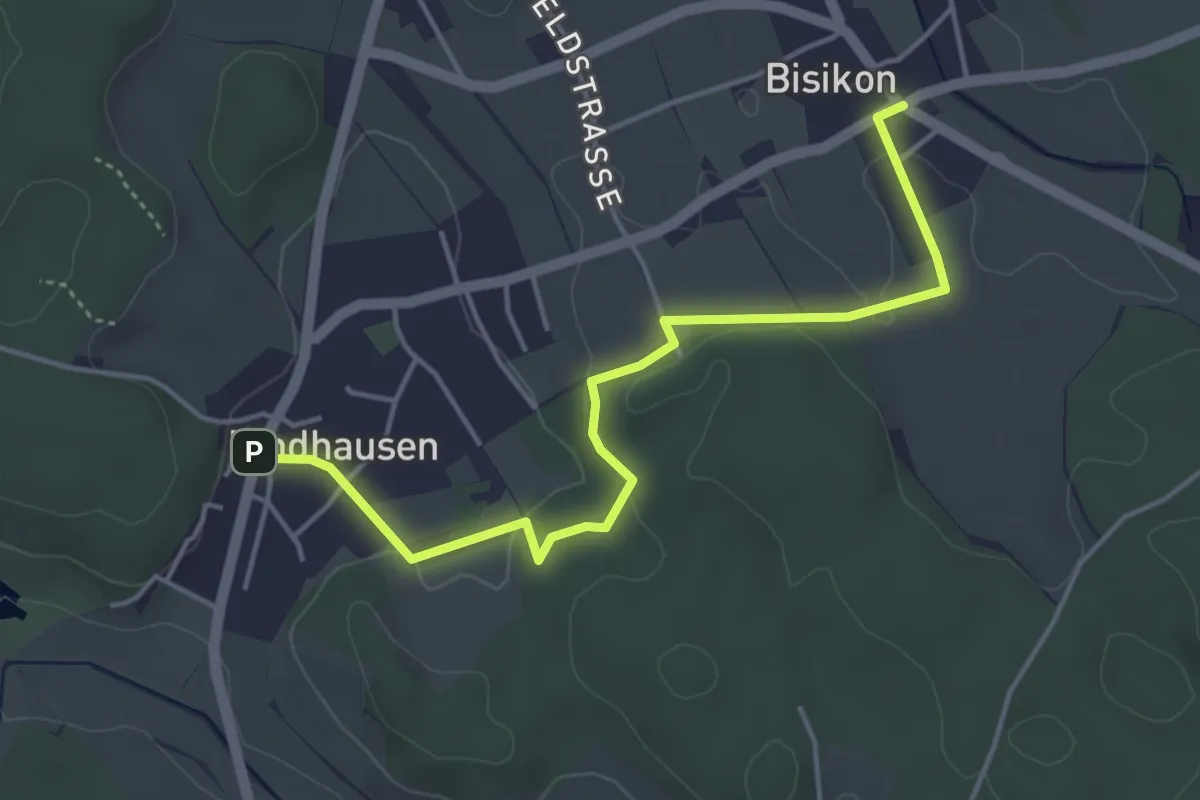
Easy · Trail
Kindhausen – Bisikon
4.6 km · ↑ 59 m · 1 h 13 min · 13 km away
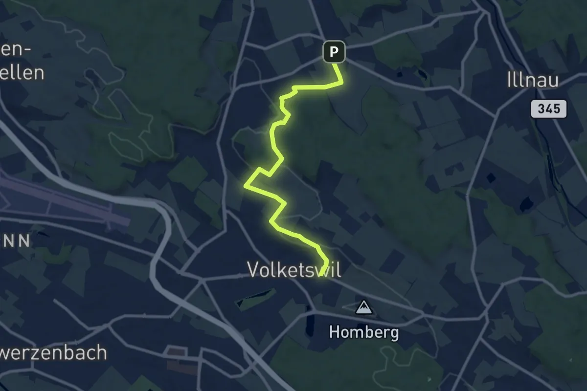
Medium · Trail
Volketswil – Bisikon
8.5 km · ↑ 143 m · 2 h 19 min · 13 km away
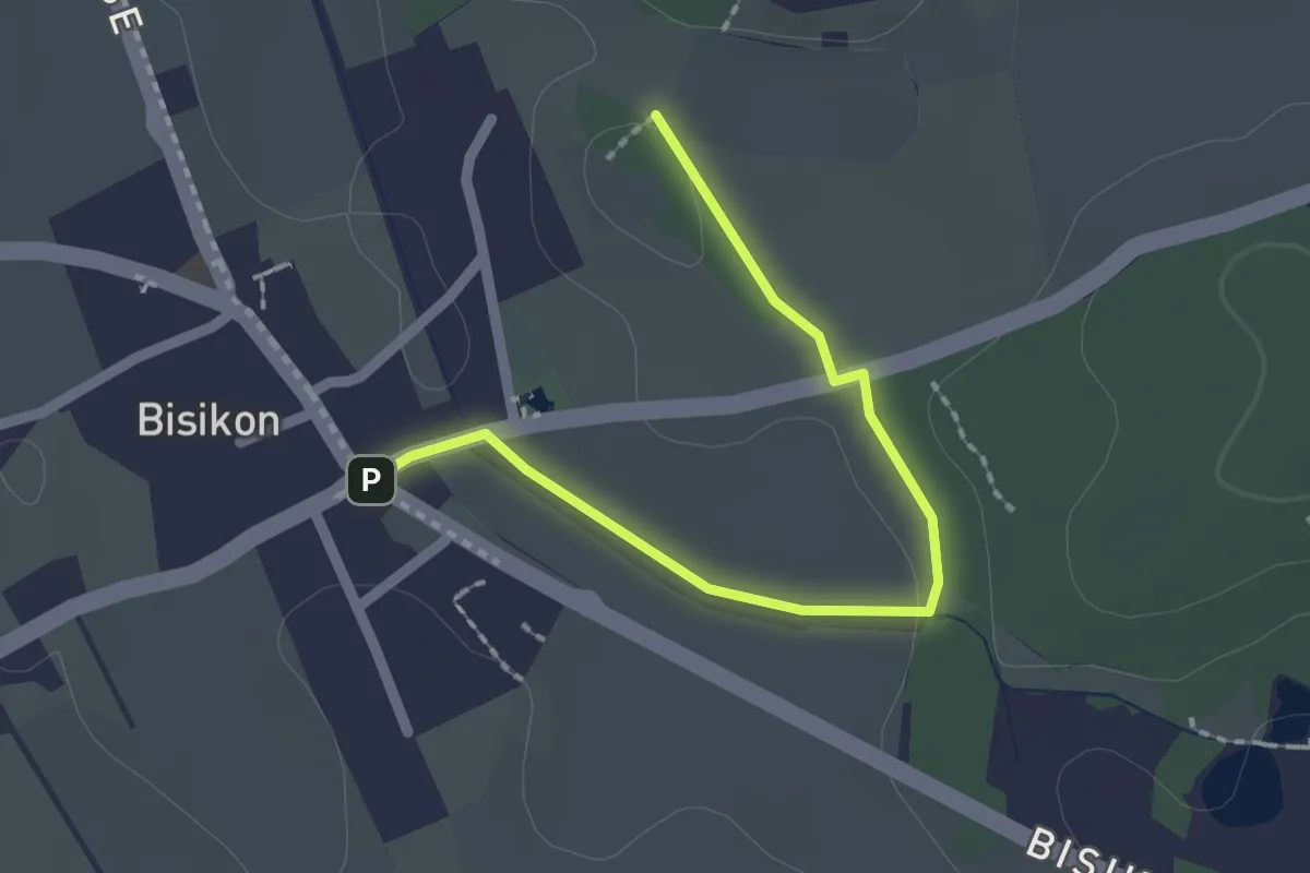
Easy · Trail
Bisikon – Buck
2.0 km · ↑ 10 m · 30 min · 13 km away
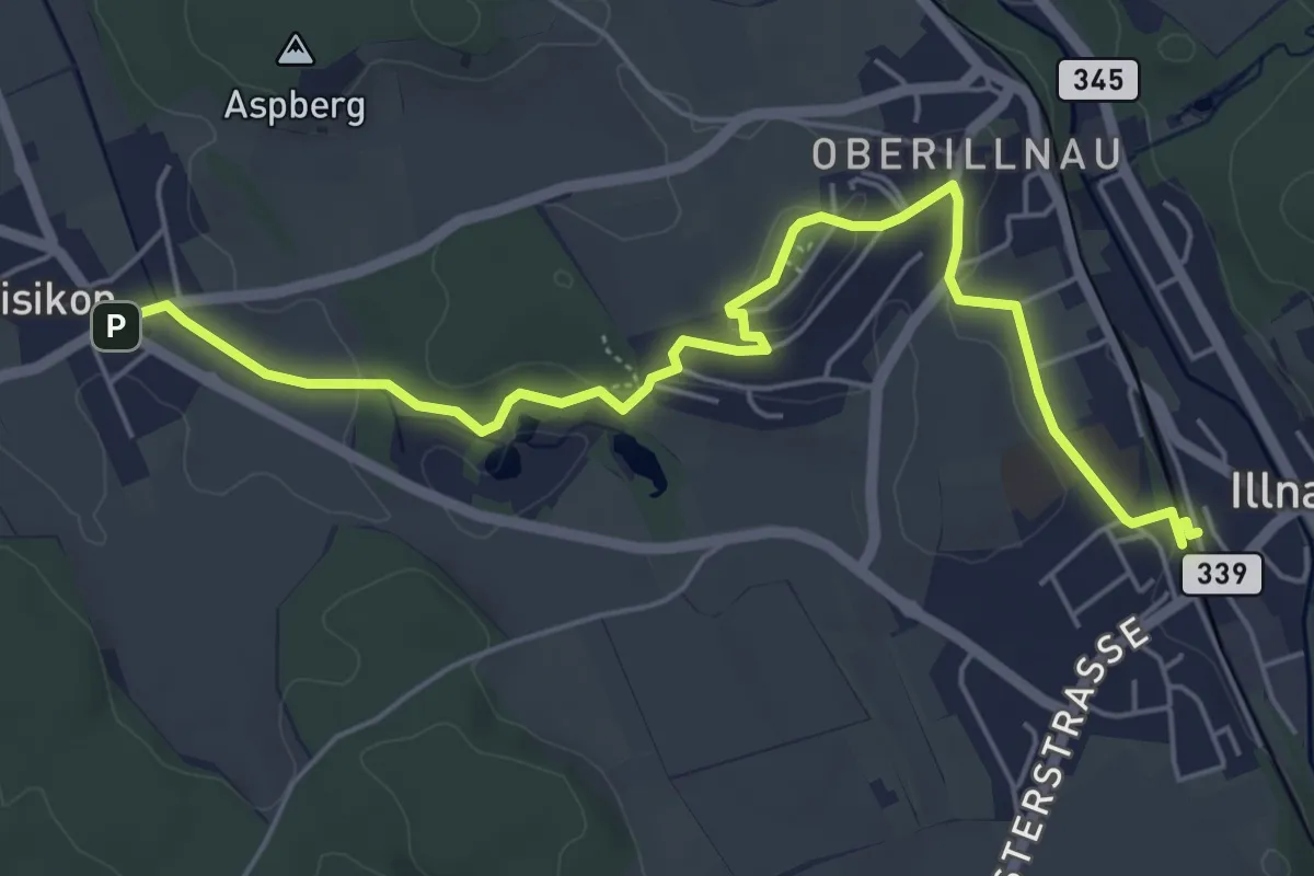
Easy · Trail
Illnau (ost) – Bisikon
6.3 km · ↑ 128 m · 1 h 45 min · 13 km away
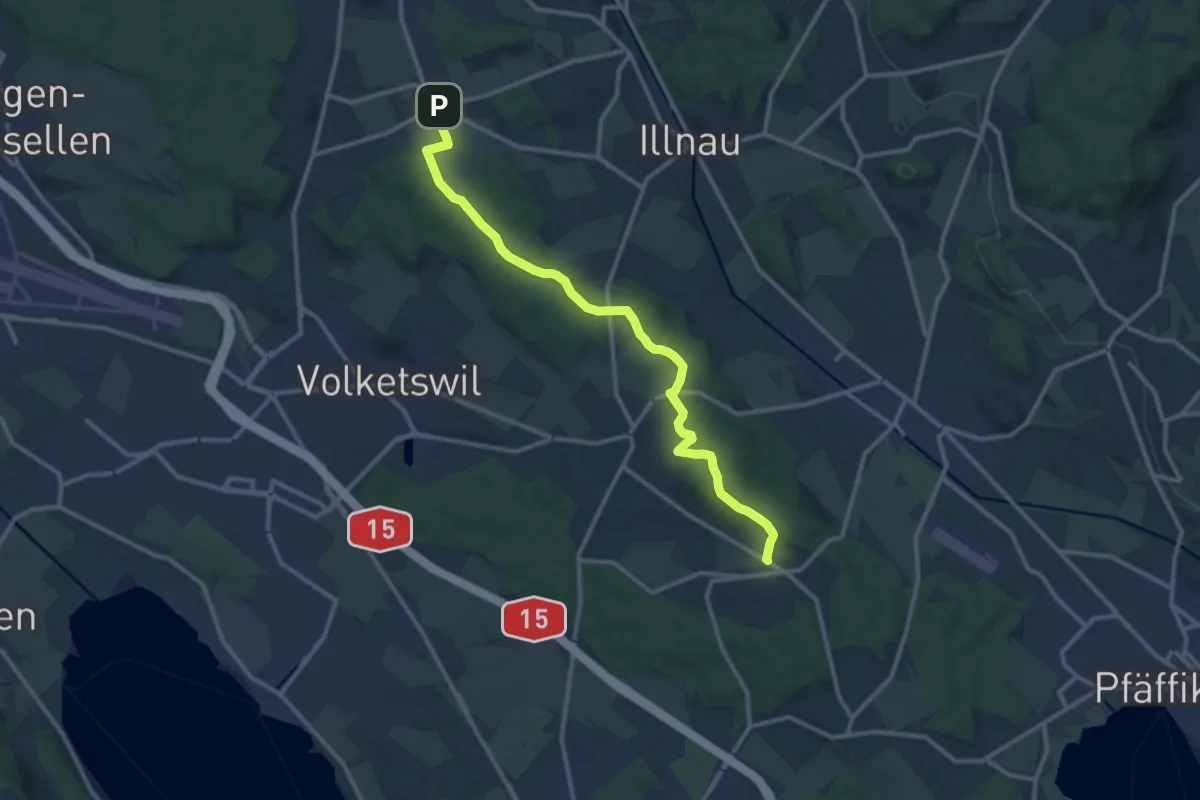
Medium · Trail
Freudwil – Bisikon
12.4 km · ↑ 231 m · 3 h 26 min · 13 km away
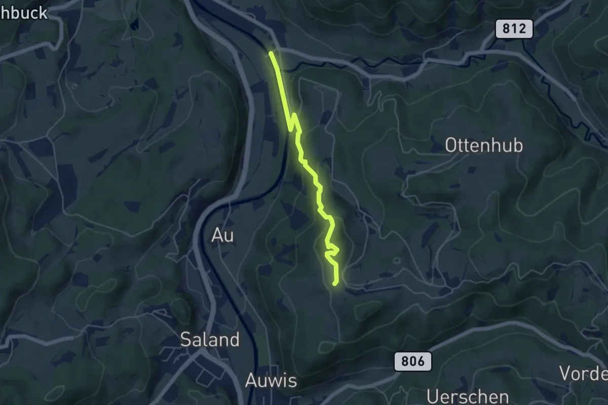
Easy · Trail
Vordereich – Tablat
4.3 km · ↑ 221 m · 1 h 30 min · 13 km away
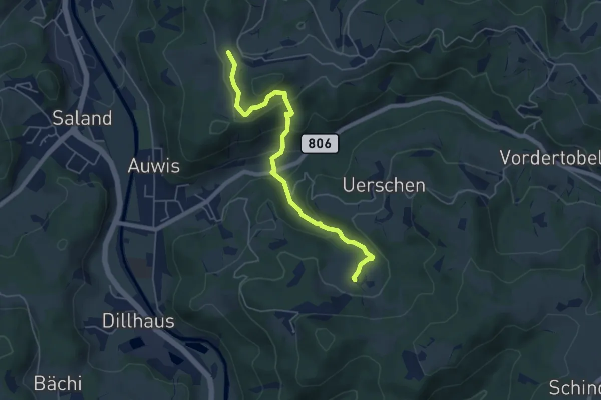
Easy · Trail
Chämmerli – Vordereich
4.7 km · ↑ 293 m · 1 h 45 min · 13 km away
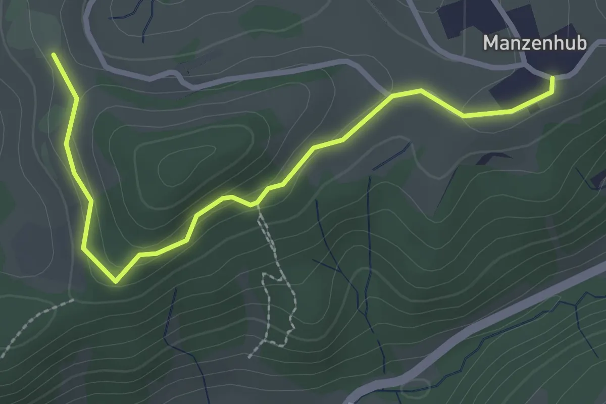
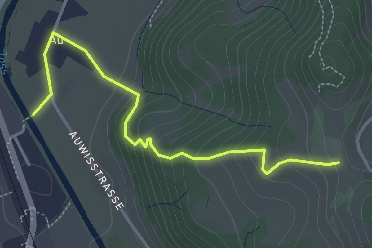
Easy · Trail
Manzenhueb – Vordereich
2.7 km · ↑ 69 m · 47 min · 13 km away
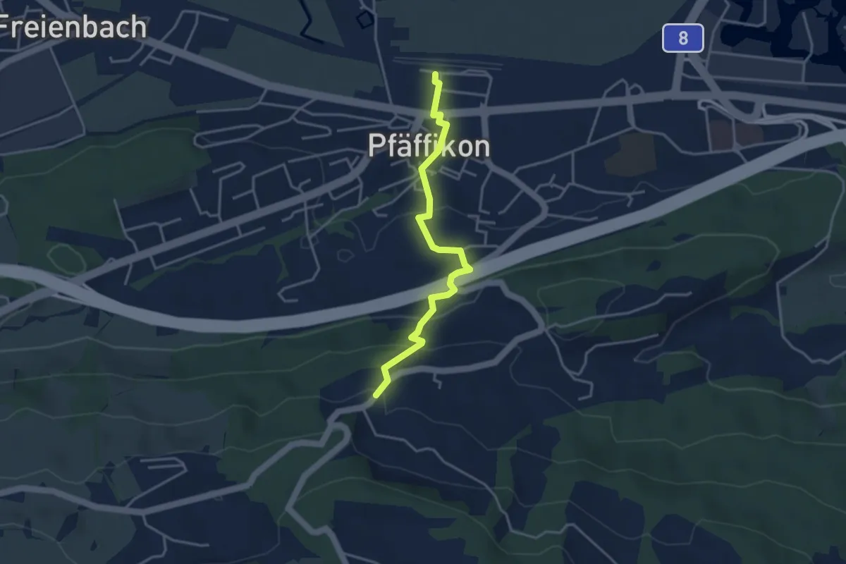
Easy · Trail
Vordereich – Saland
2.9 km · ↑ 162 m · 1 h 2 min · 13 km away
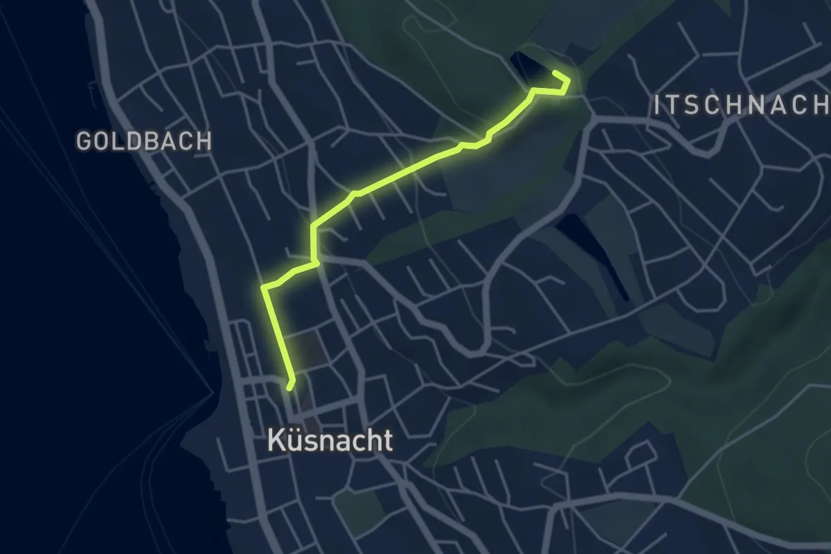
Easy · Trail
Pfäffikon - Luegeten
3.5 km · ↑ 186 m · 1 h 14 min · 13 km away
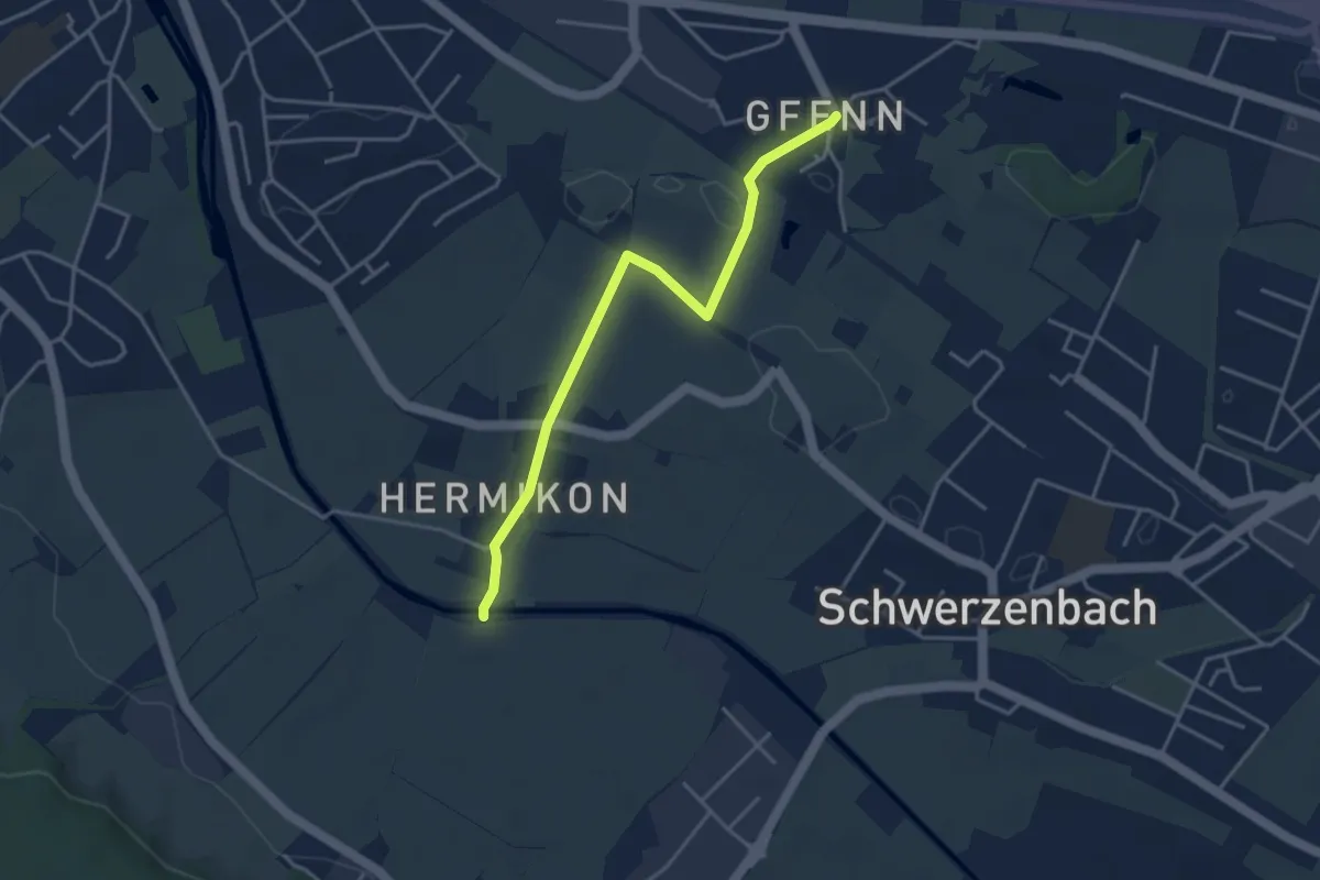
Easy · Trail
Küsnacht – Rumensee
3.4 km · ↑ 127 m · 1 h 5 min · 13 km away
Easy · Trail
Gfenn – Hermikon
3.8 km · ↑ 8 m · 55 min · 13 km away
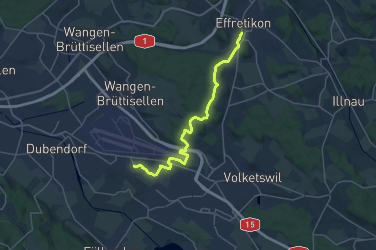
Medium · Trail
Gfenn – Effretikon
14.8 km · ↑ 217 m · 3 h 57 min · 13 km away
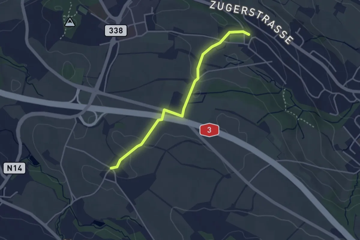
Easy · Trail
Schönegg – Stocken
3.2 km · ↑ 45 m · 51 min · 13 km away
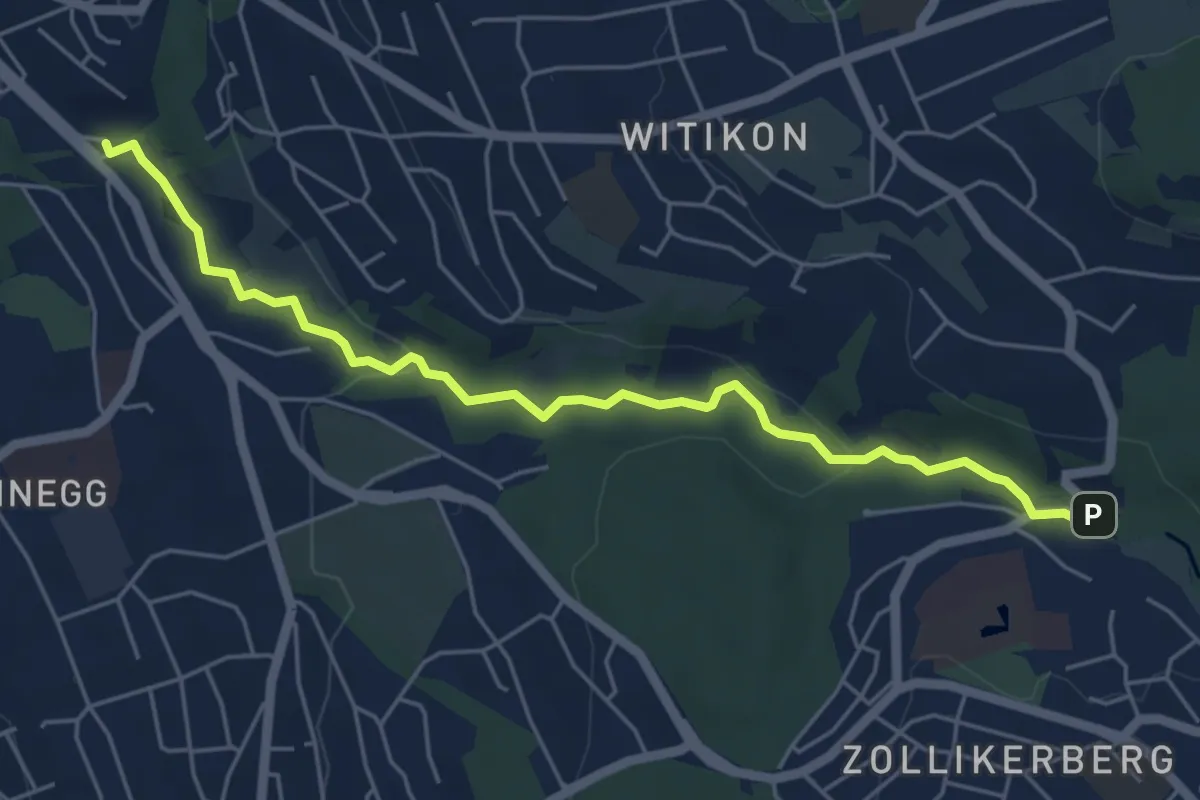
Easy · Trail
Trichtenhusen - Burgwis
5.7 km · ↑ 116 m · 1 h 35 min · 13 km away
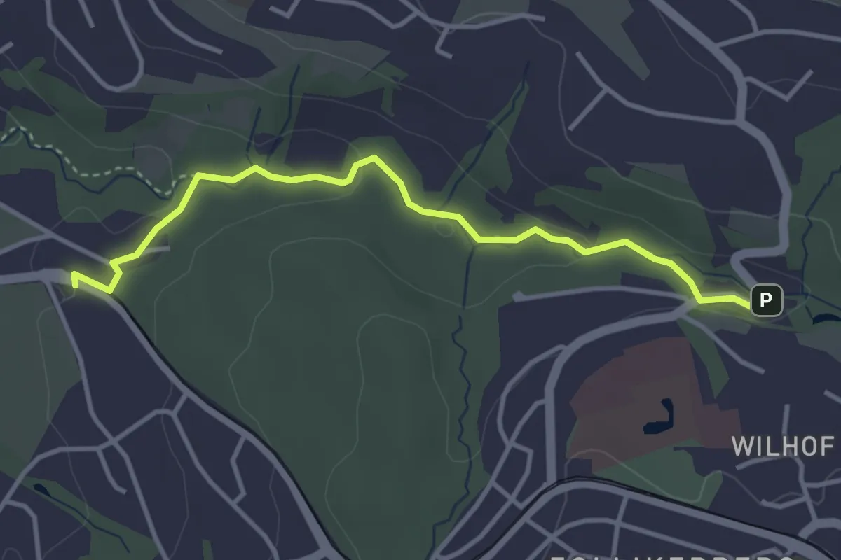
Easy · Trail
Rehalp – Trichtenhusen
3.6 km · ↑ 57 m · 58 min · 13 km away
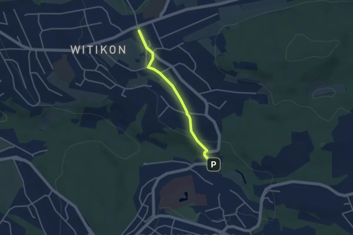
Easy · Trail
Witikon - Trichtenhusen
2.5 km · ↑ 40 m · 41 min · 13 km away
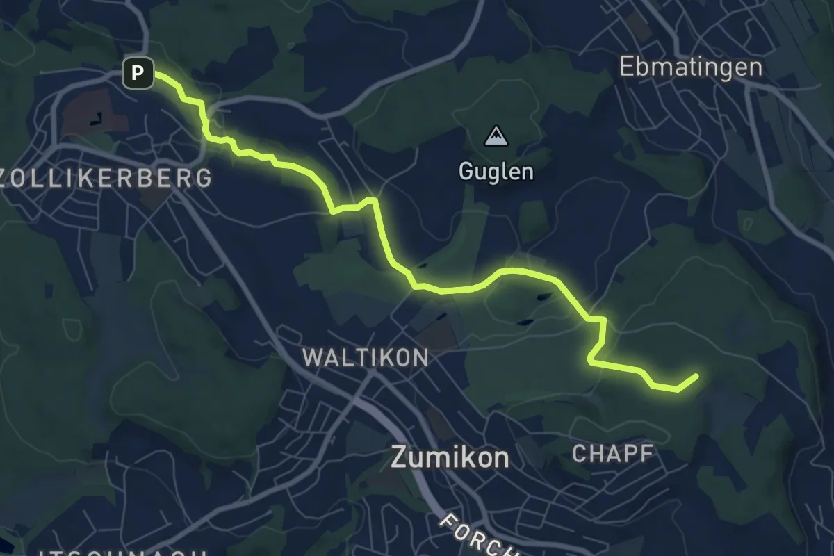
Medium · Summit
Trichtenhusen – Wehrmännerdenkmal
8.4 km · ↑ 188 m · 2 h 23 min · 13 km away
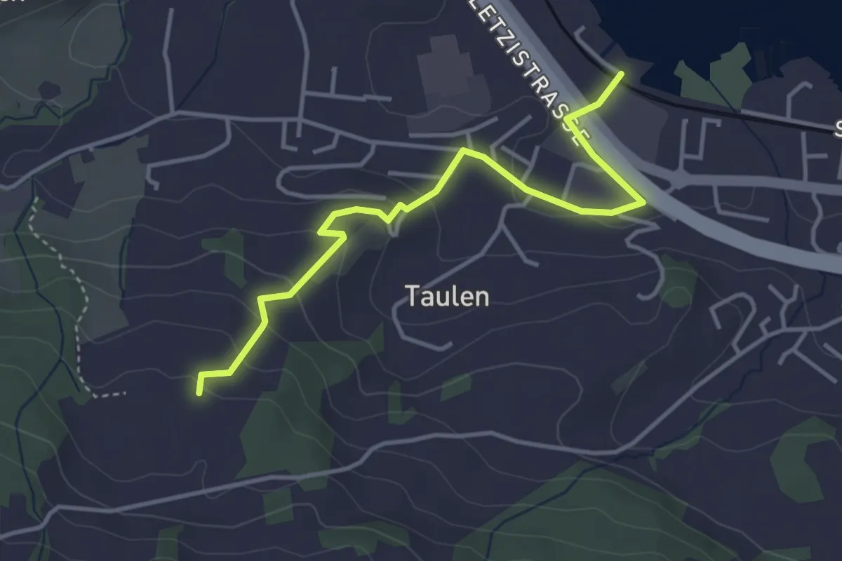
Easy · Trail
Strandbad Altendorf - Flügenberg
3.9 km · ↑ 154 m · 1 h 15 min · 13 km away
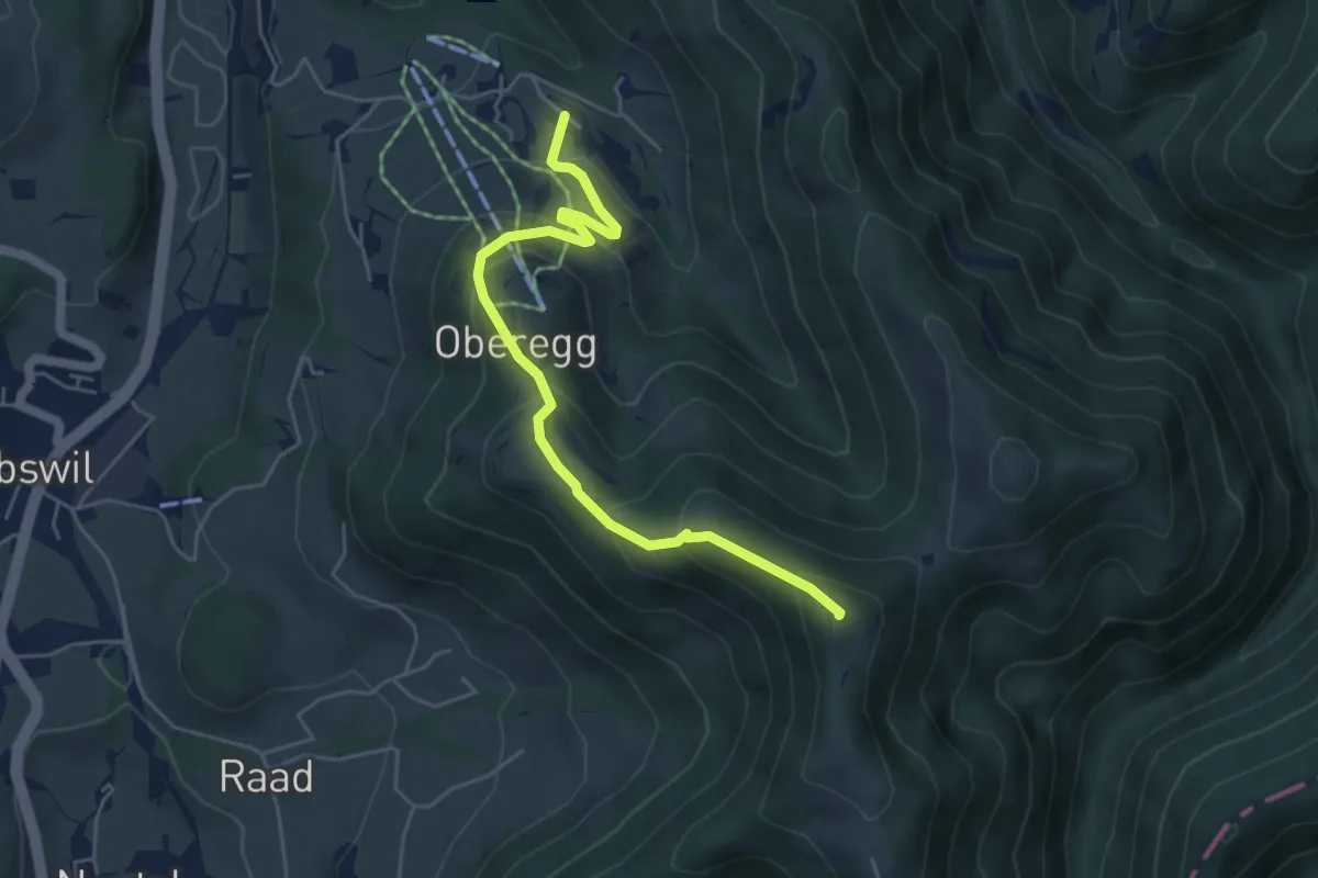
Medium · Summit
Brandegg-Oberaurüti
5.2 km · ↑ 353 m · 2 h · 13 km away