Trails near Horgen
649 hikes starting within 15 km, nearest first.
Nearest first, page 12 of 14
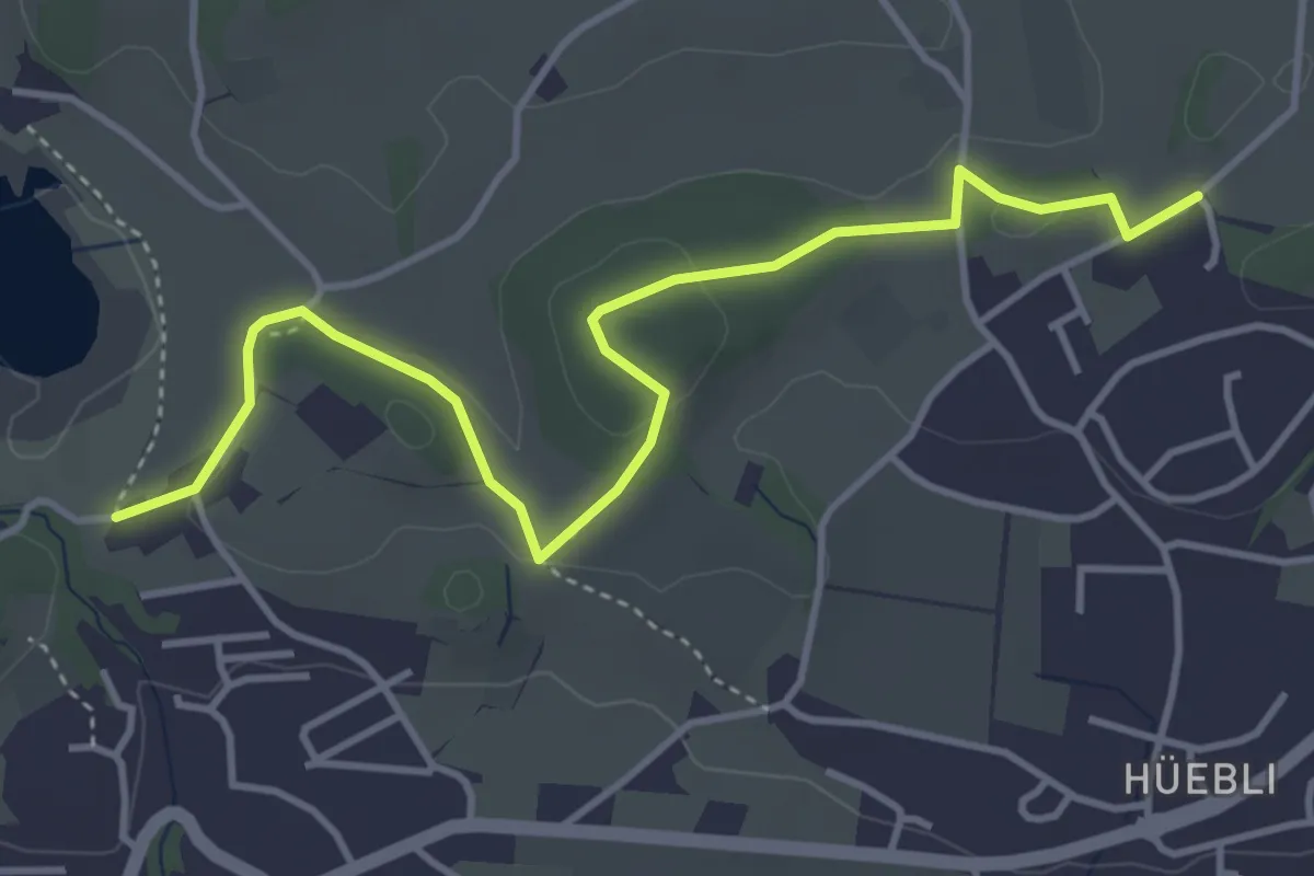
Easy · Trail
Lützelsee – Bühlhof
4.5 km · ↑ 86 m · 1 h 15 min · 14 km away
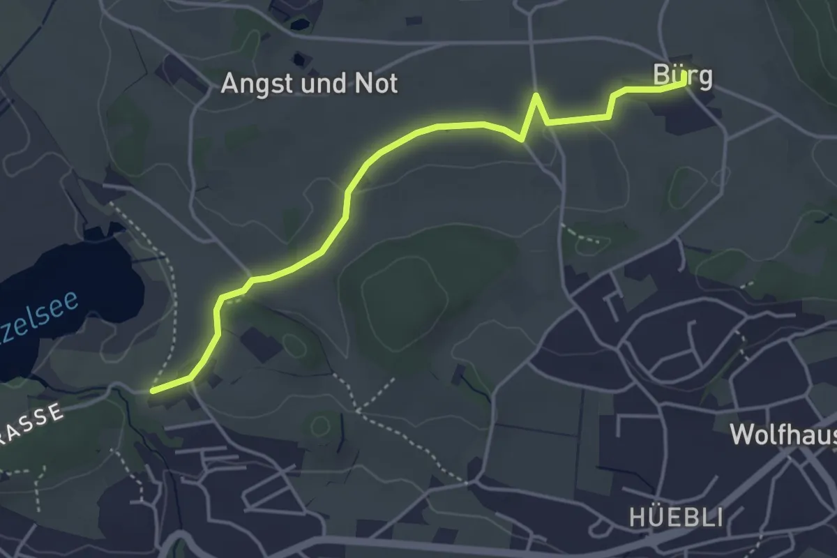
Easy · Trail
Bürg - Lützelsee
4.1 km · ↑ 36 m · 1 h 3 min · 14 km away
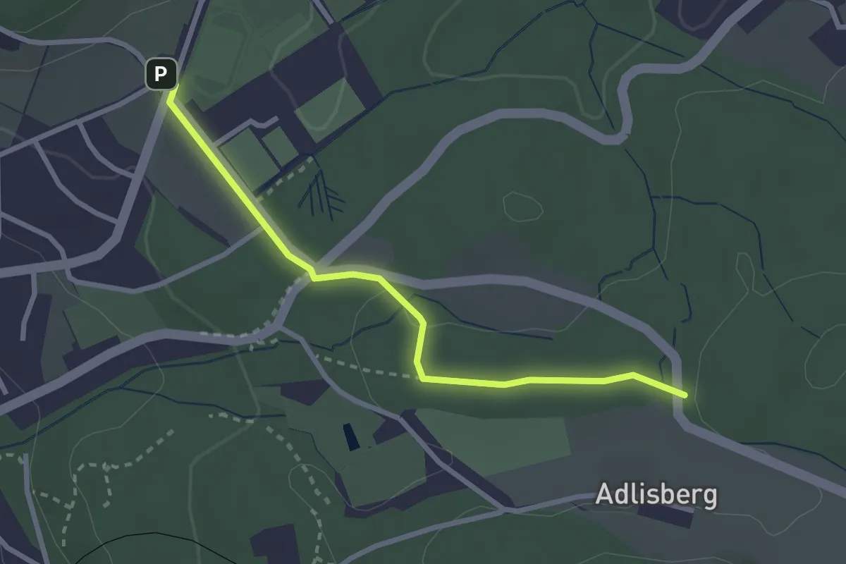
Easy · Trail
Fluntern – Vorderadlisberg
2.6 km · ↑ 37 m · 42 min · 14 km away
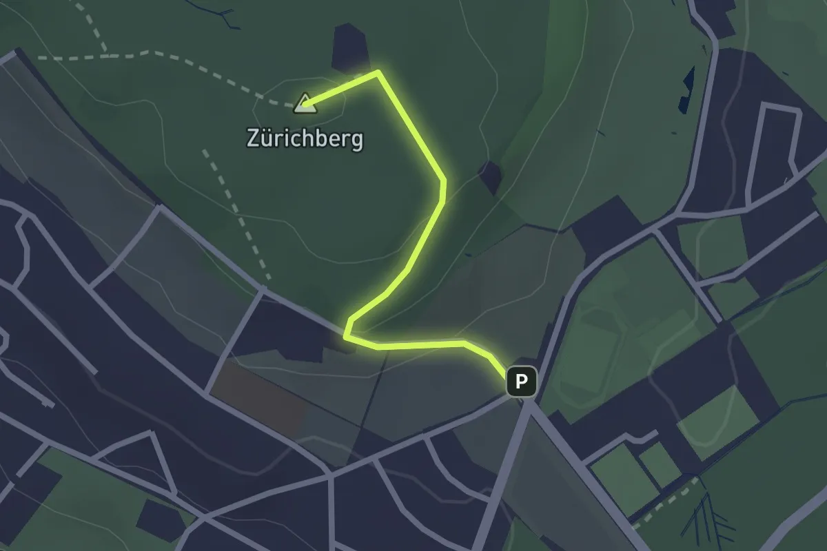
Easy · Summit
Zürichberg – Fluntern
1.9 km · ↑ 70 m · 35 min · 14 km away
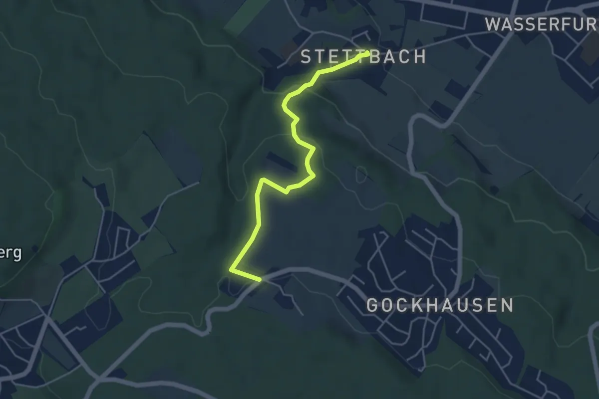
Easy · Trail
Tobelhof – Stettbach
4.0 km · ↑ 149 m · 1 h 16 min · 14 km away
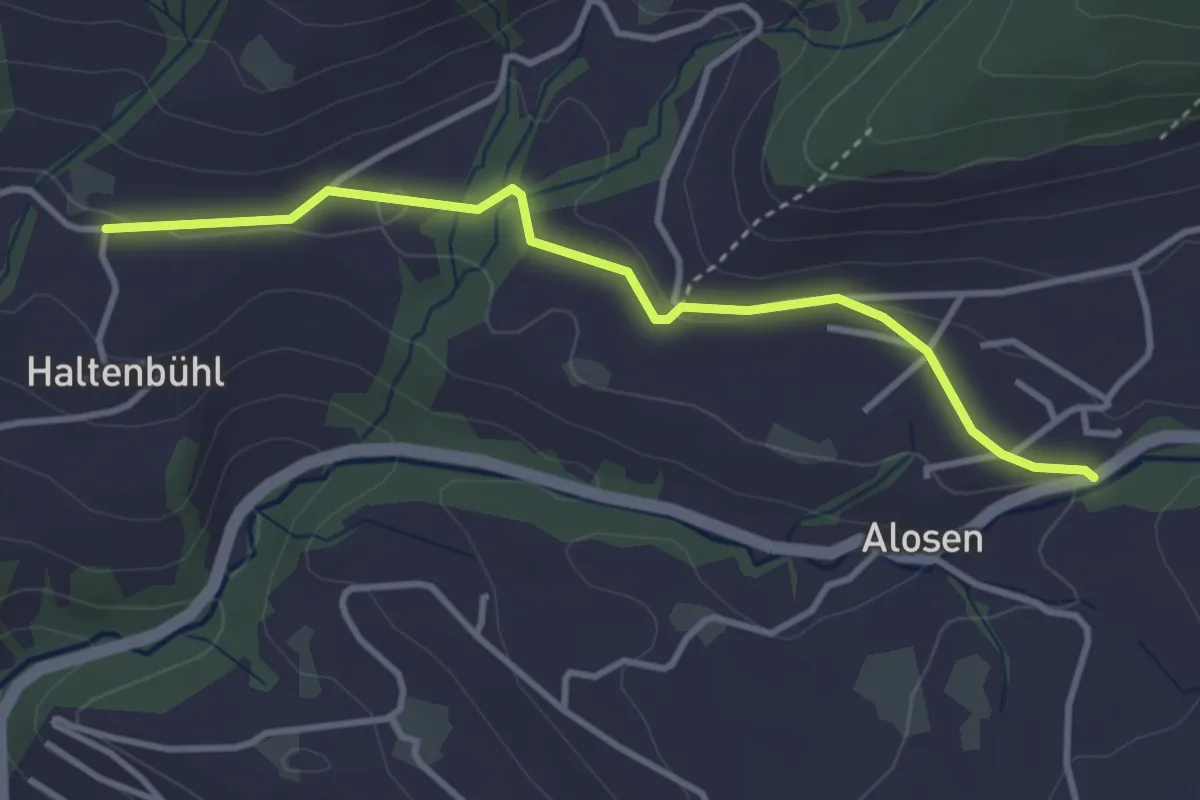
Easy · Trail
Alosen - Oberhaltenbüel
3.5 km · ↑ 52 m · 57 min · 14 km away
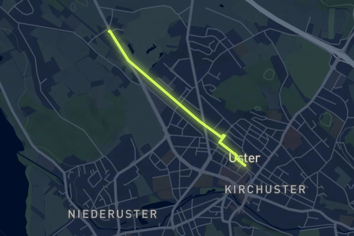
Easy · Trail
Werrikon - Uster
4.0 km · ↑ 8 m · 57 min · 14 km away
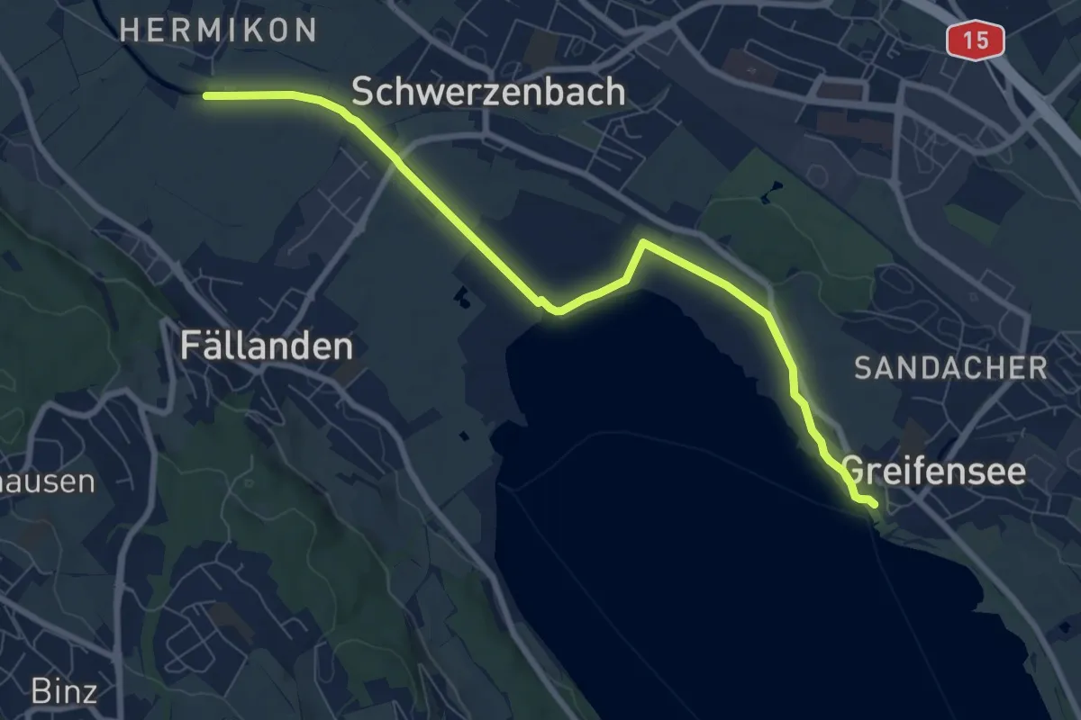
Medium · Trail
Hermikon – Greifensee
8.4 km · ↑ 13 m · 2 h · 14 km away
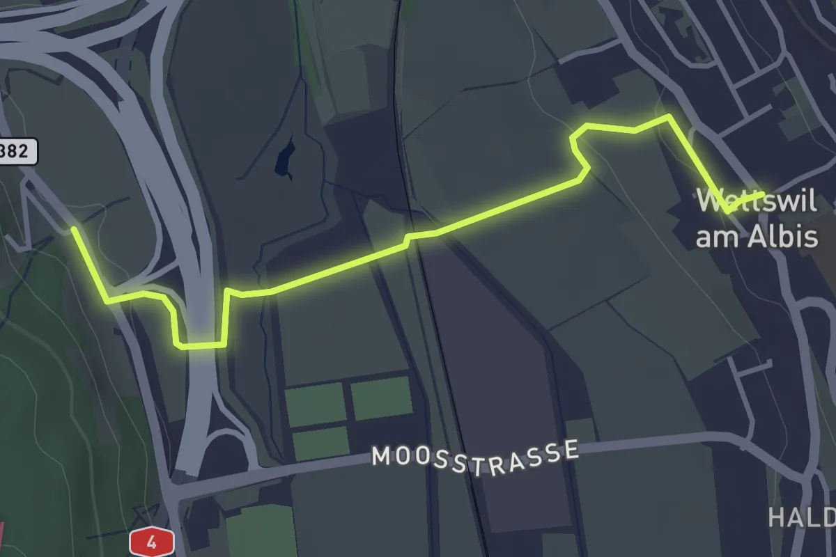
Easy · Trail
Filderen – Wettswil
3.6 km · ↑ 59 m · 58 min · 14 km away
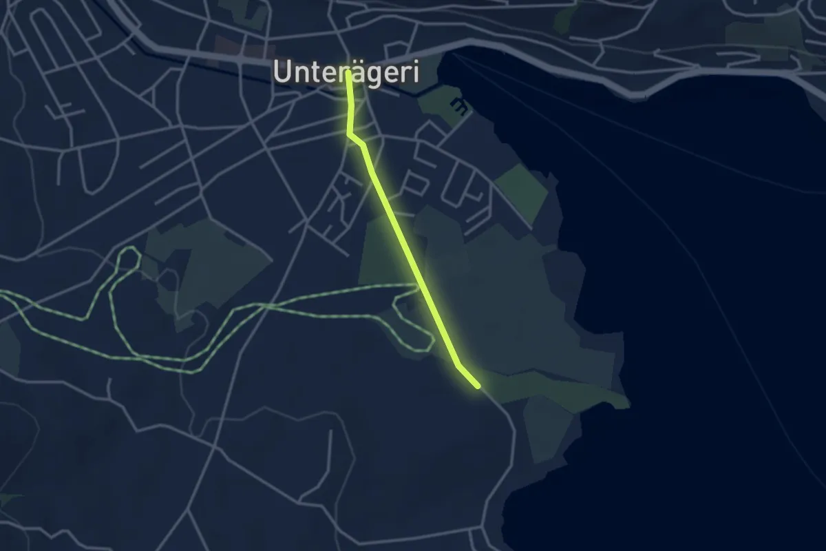
Easy · Trail
Campingplatz – Dorfplatz
2.4 km · ↑ 0 m · 34 min · 14 km away
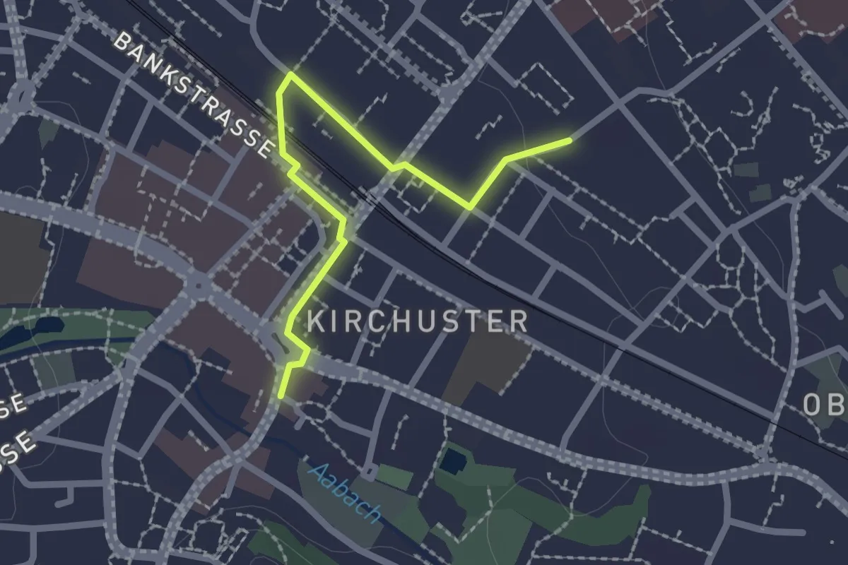
Easy · Trail
Industriepfad Zürcher Oberland - Abstecher Uster
2.0 km · ↑ 4 m · 29 min · 14 km away
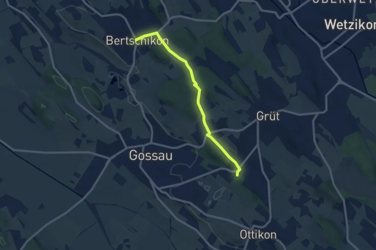
Easy · Trail
Berghof - Bertschikon
5.7 km · ↑ 121 m · 1 h 37 min · 14 km away
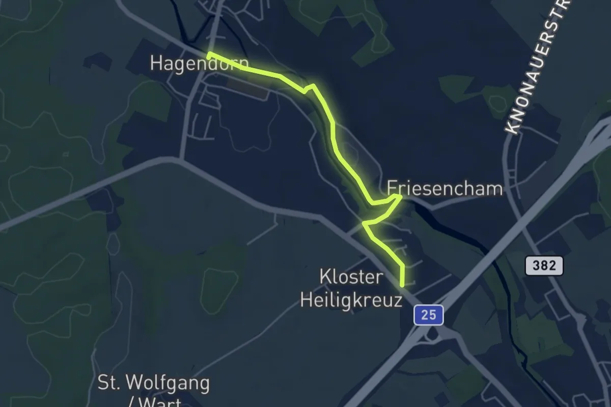
Easy · Trail
Hagendorn - Röhrliberg
4.3 km · ↑ 47 m · 1 h 7 min · 14 km away
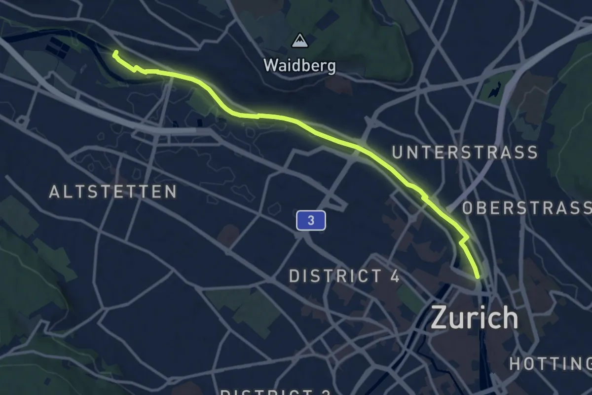
Easy · Pilgrim path
Hugenotten- und Waldenserweg
5.4 km · ↑ 28 m · 1 h 24 min · 14 km away
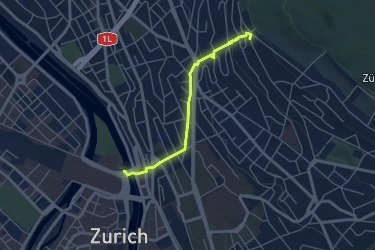
Easy · Pilgrim path
Hugenotten- und Waldenserweg
1.8 km · ↑ 189 m · 46 min · 14 km away
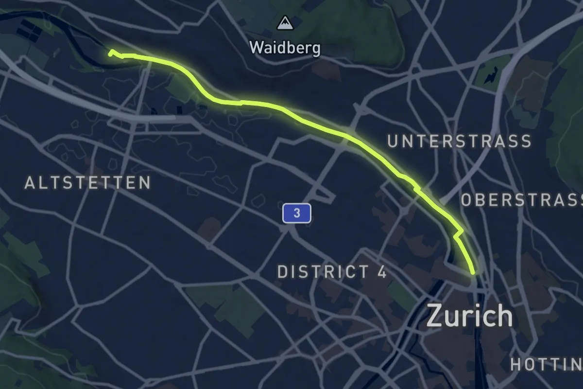
Medium · Trail
Zürich HB – Werdinsel
10.1 km · ↑ 48 m · 2 h 29 min · 14 km away
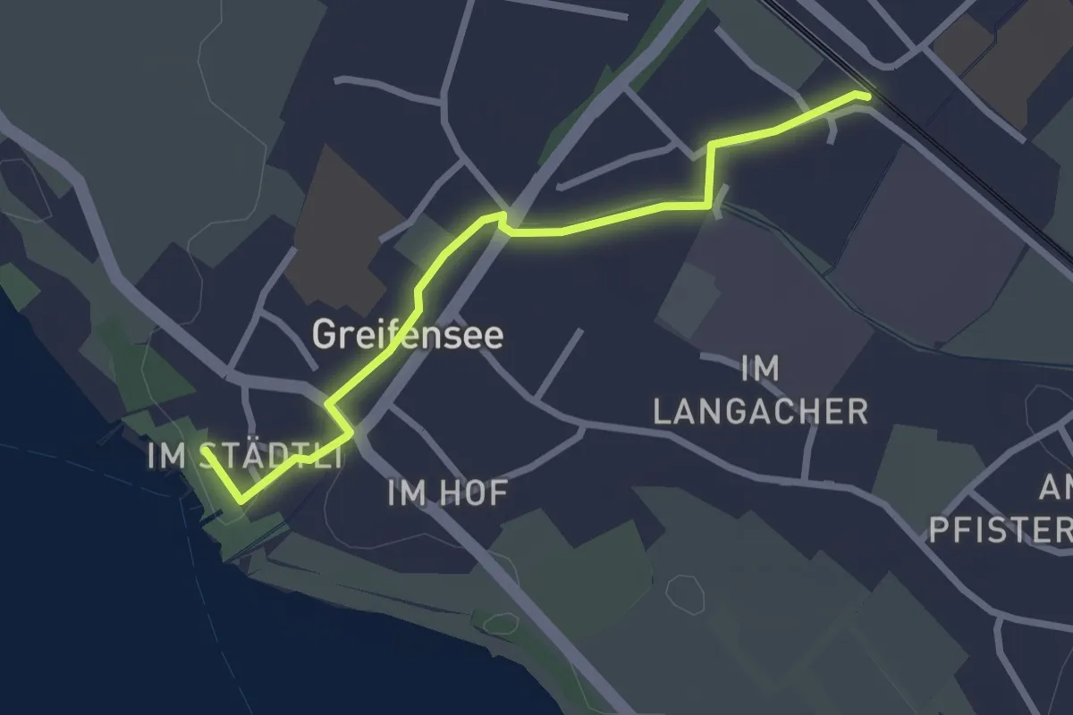
Easy · Trail
Nänikon-Greifensee - Greifensee
2.5 km · ↑ 8 m · 36 min · 14 km away
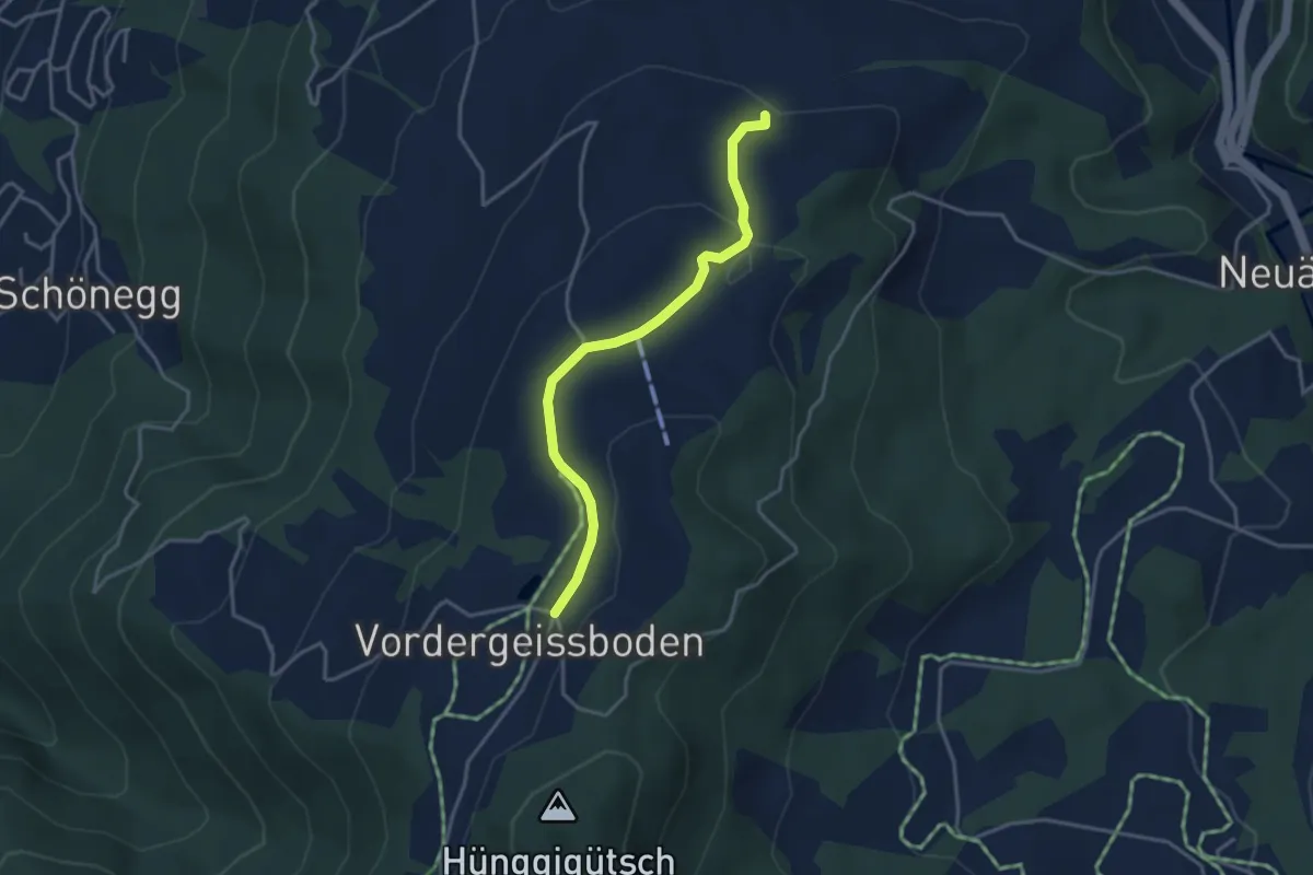
Easy · Trail
Vorder Geissboden – Ober Brunegg
3.5 km · ↑ 82 m · 1 h · 14 km away
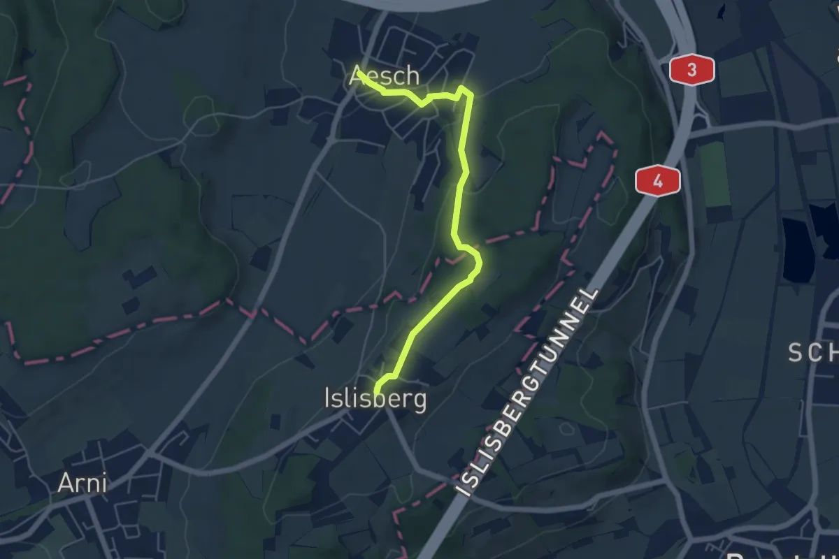
Easy · Trail
Islisberg – Aesch
4.9 km · ↑ 174 m · 1 h 32 min · 14 km away
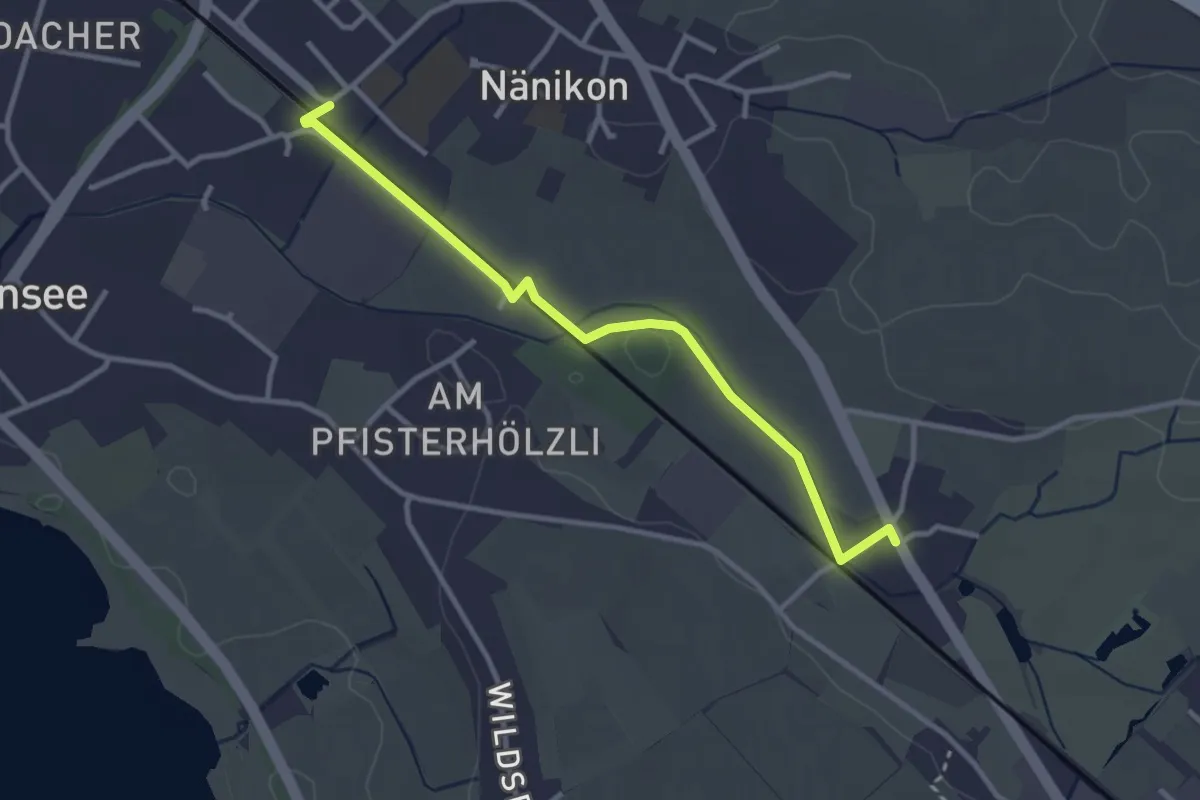
Easy · Trail
Werrikon – Nänikon-Greifensee
3.1 km · ↑ 13 m · 46 min · 14 km away
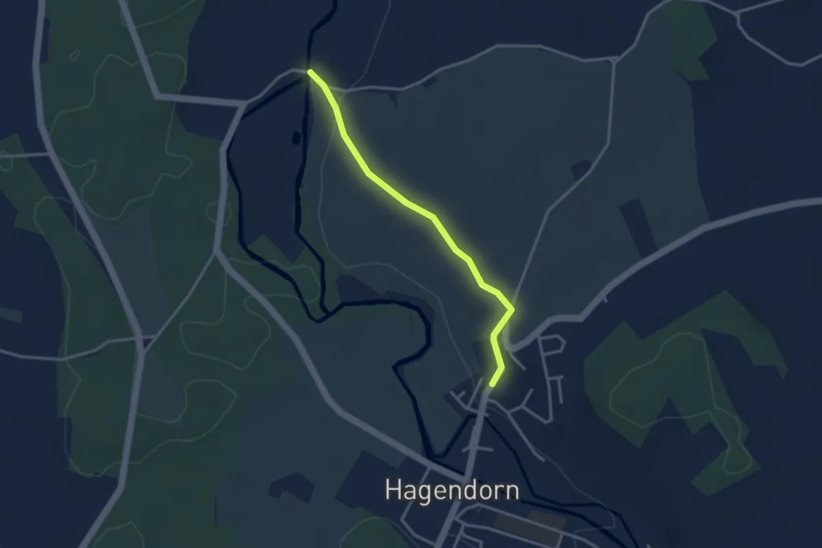
Easy · Trail
Rumentikon-Frauental
2.7 km · ↑ 38 m · 43 min · 14 km away
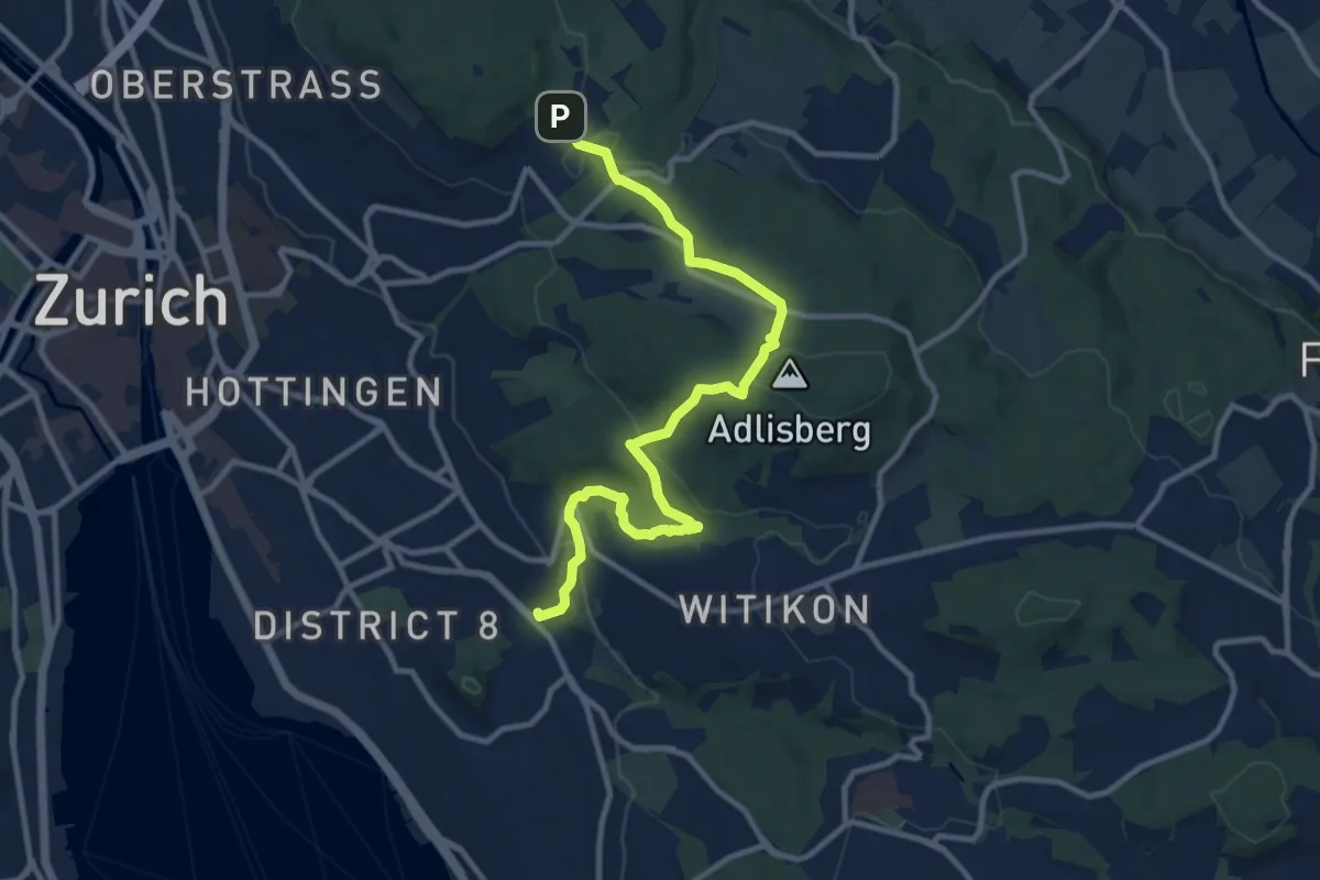
Medium · Trail
Familien-Wanderweg Zoo - Burgwies
11.5 km · ↑ 337 m · 3 h 27 min · 14 km away
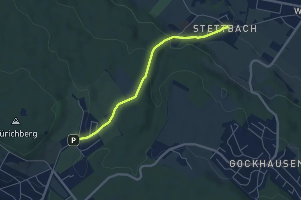
Easy · Trail
Stettbach – Zoo
4.1 km · ↑ 155 m · 1 h 18 min · 14 km away
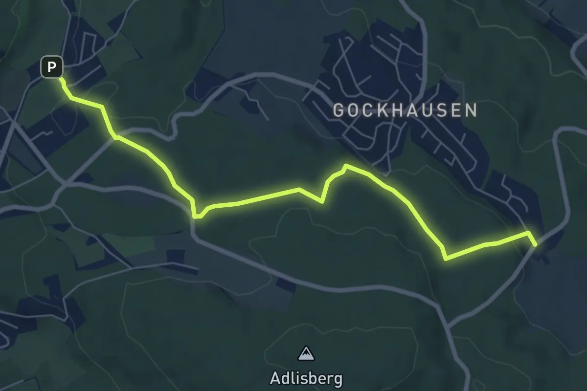
Easy · Trail
Zoo – Geeren
6.7 km · ↑ 122 m · 1 h 51 min · 14 km away
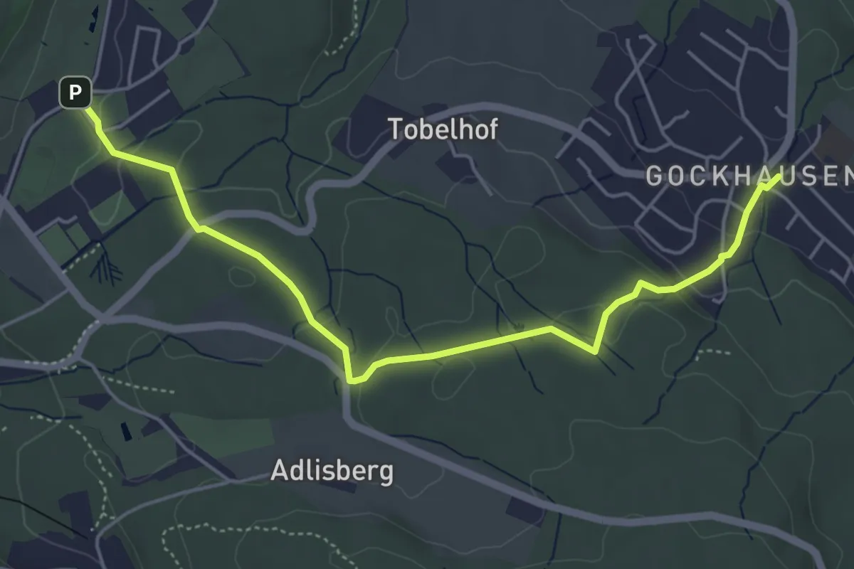
Easy · Trail
Gockhausen – Zoo
5.3 km · ↑ 117 m · 1 h 31 min · 14 km away
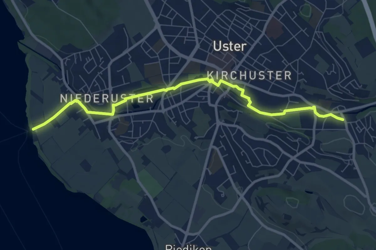
Easy · Trail
Niederuster - Oberuster
7.9 km · ↑ 44 m · 1 h 58 min · 14 km away
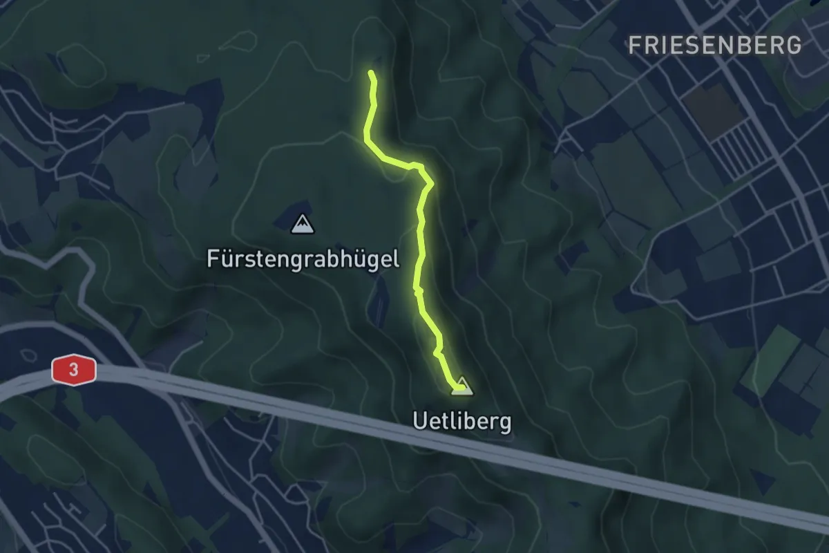
Medium · Summit
Hohenstein – Uetliberg Uto Kulm
3.1 km · ↑ 163 m · 1 h 5 min · 14 km away
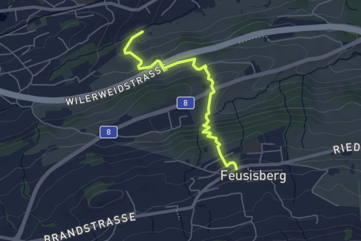
Easy · Trail
Feusisberg - Obereulen
4.1 km · ↑ 224 m · 1 h 27 min · 14 km away
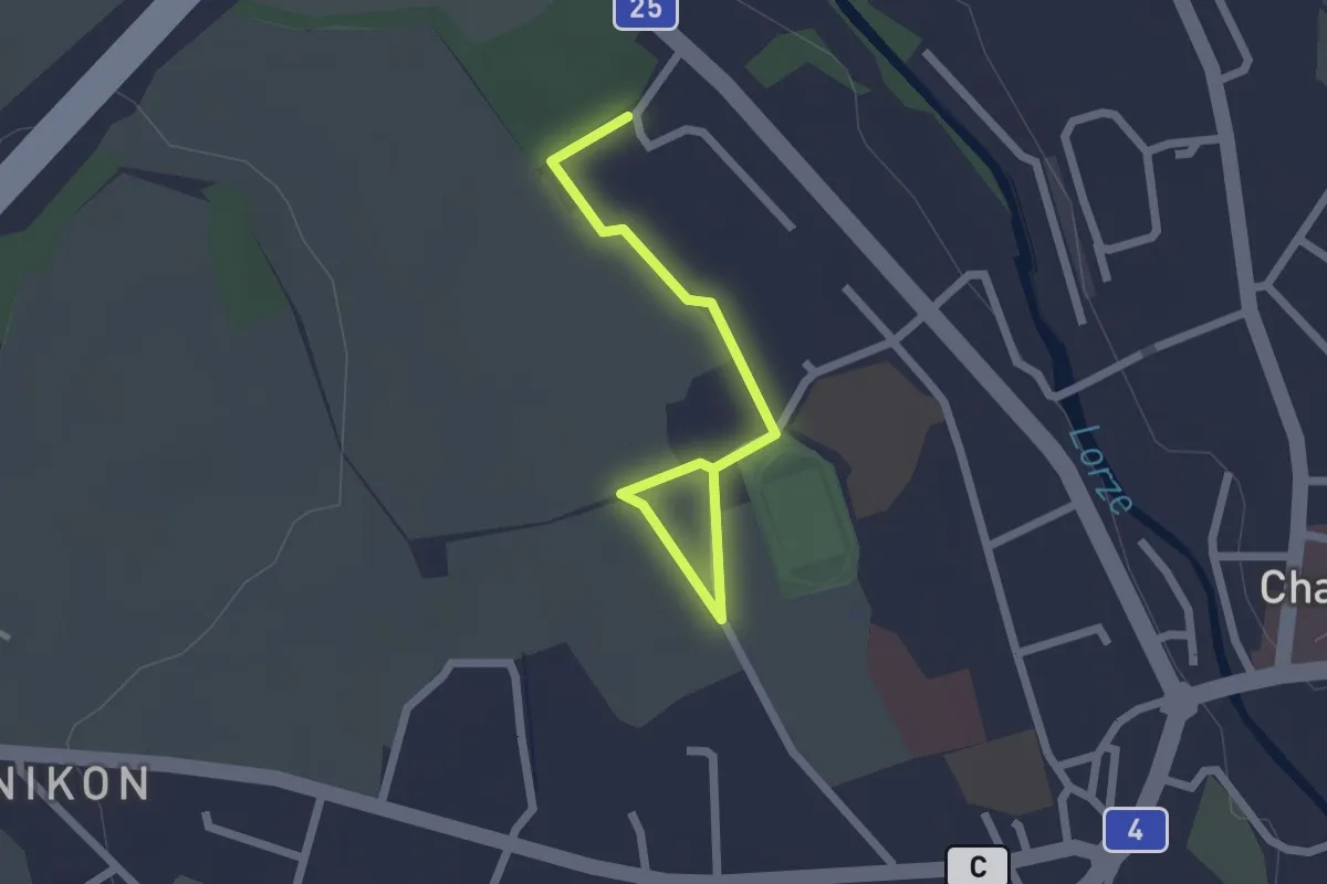
Easy · Trail
Cham Allmendhof - Röhrliberg
2.1 km · ↑ 0 m · 30 min · 14 km away
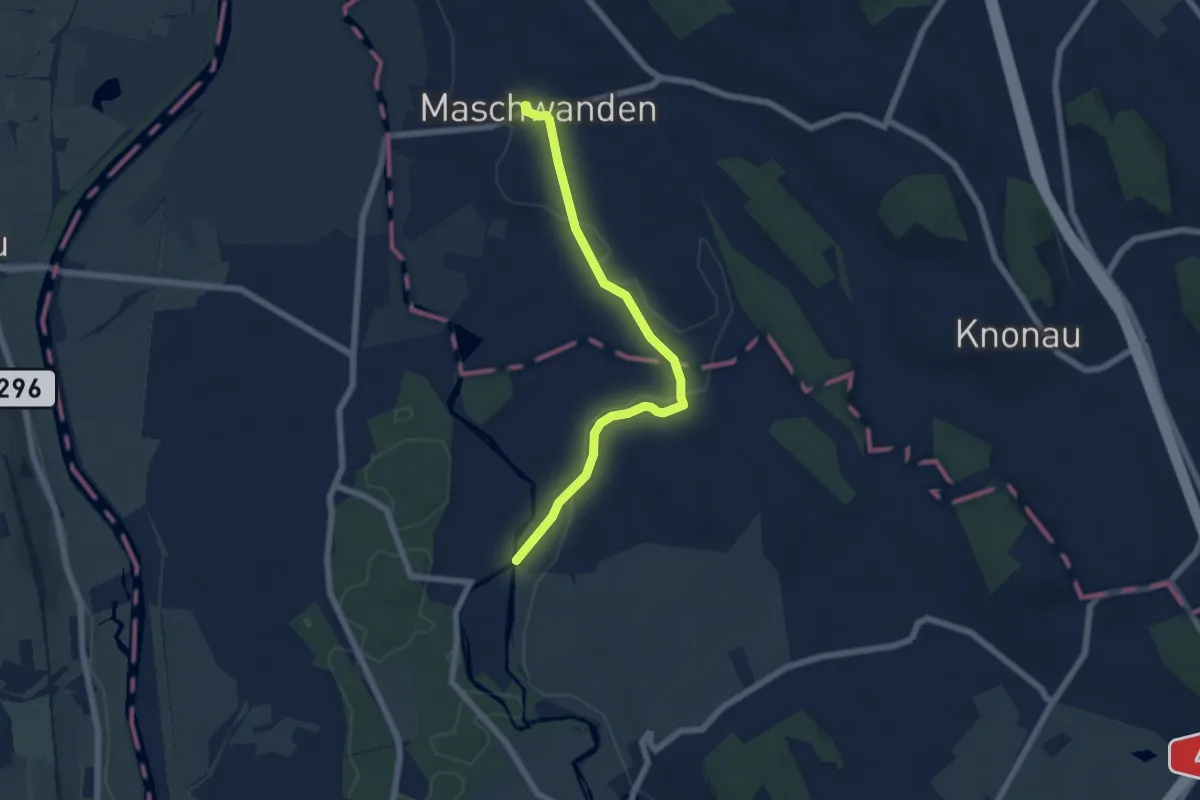
Easy · Trail
Frauental-Maschwanden
6.0 km · ↑ 31 m · 1 h 28 min · 14 km away
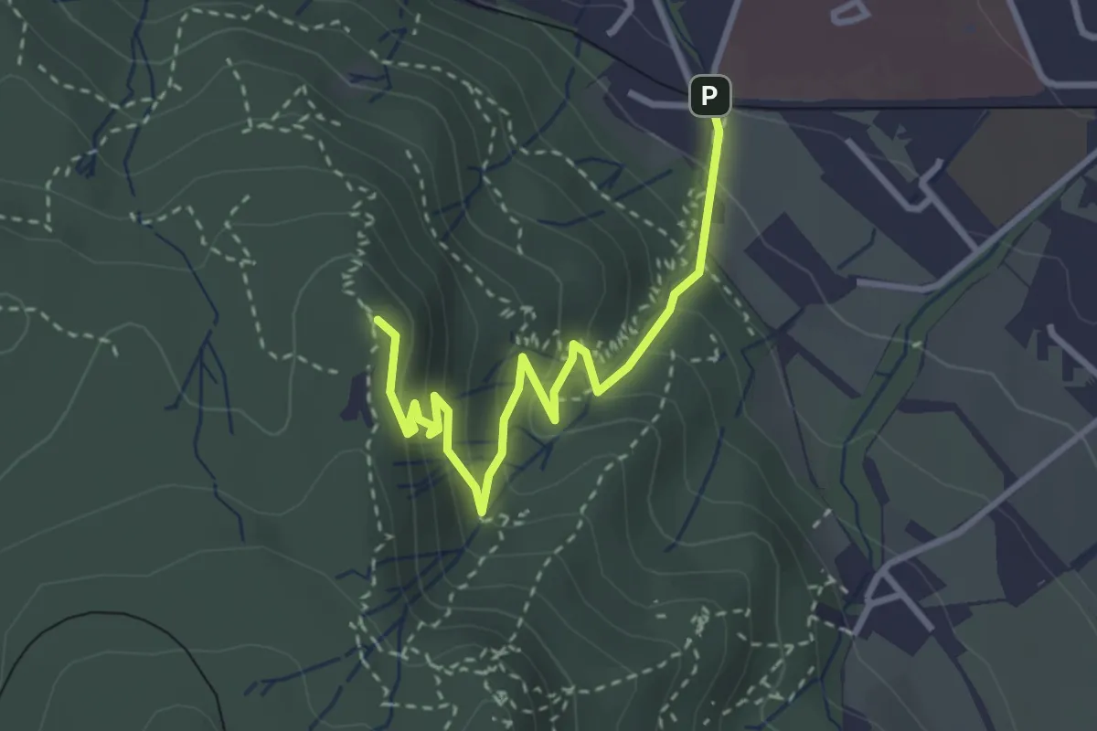
Easy · Summit
Triemli – Hohenstein
3.2 km · ↑ 219 m · 1 h 14 min · 14 km away
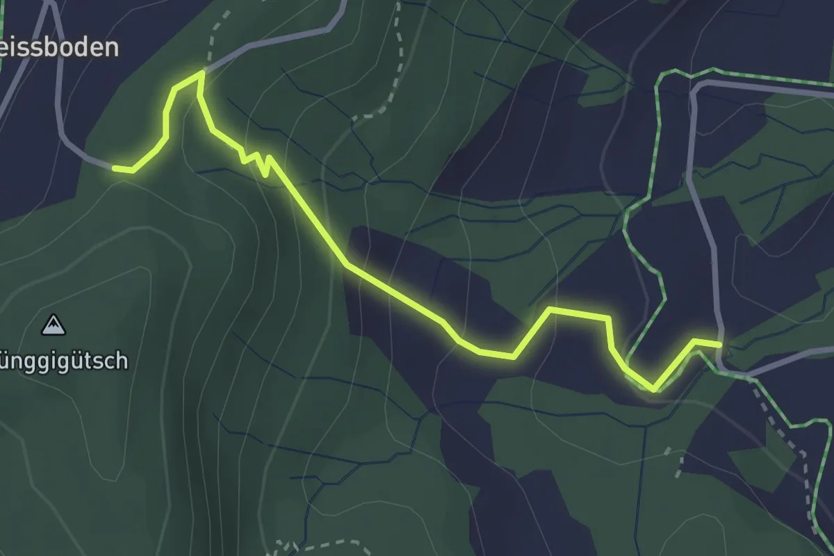
Easy · Trail
Hünggigütsch Sätteli – Hünggi
2.9 km · ↑ 187 m · 1 h 6 min · 14 km away
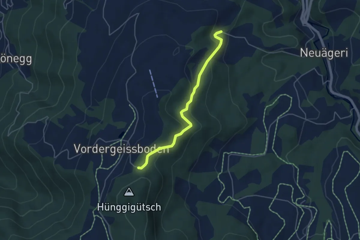
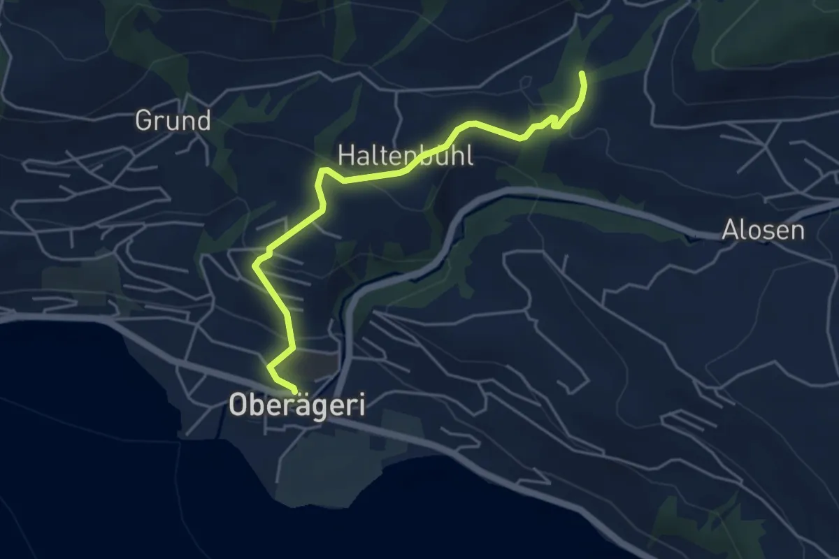
Easy · Trail
Hünggigütsch Sätteli – Brunegg
3.9 km · ↑ 194 m · 1 h 20 min · 14 km away
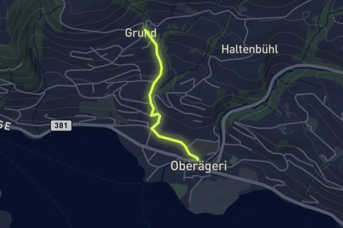
Easy · Trail
Chefibach – Oberägeri
4.3 km · ↑ 181 m · 1 h 24 min · 14 km away
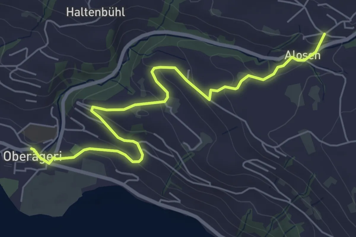
Easy · Trail
Grund - Oberägeri
2.6 km · ↑ 117 m · 52 min · 14 km away
Easy · Trail
Alosen - Oberägeri
6.3 km · ↑ 175 m · 1 h 53 min · 14 km away
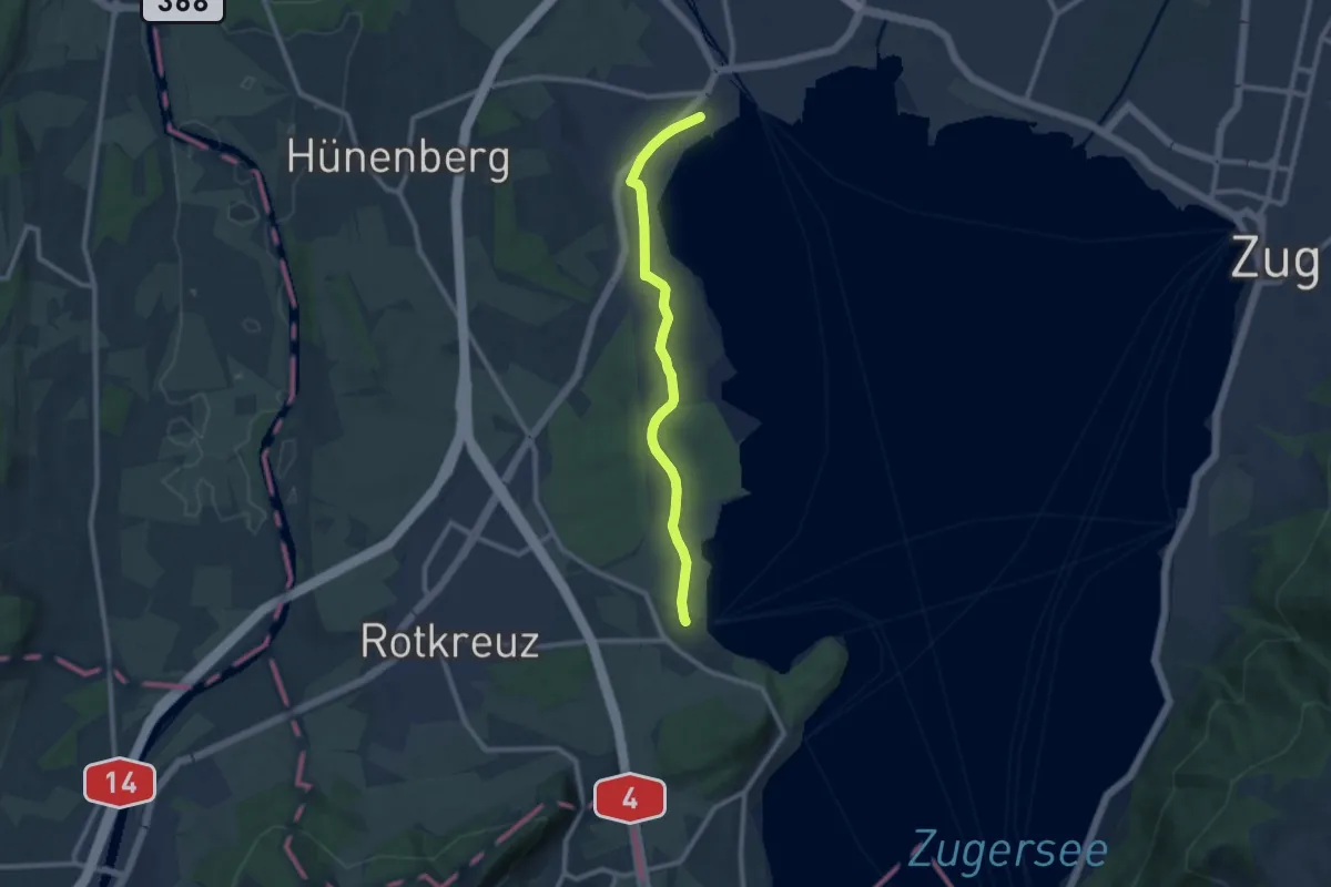
Medium · Trail
Cham-Buonas
9.1 km · ↑ 63 m · 2 h 17 min · 14 km away
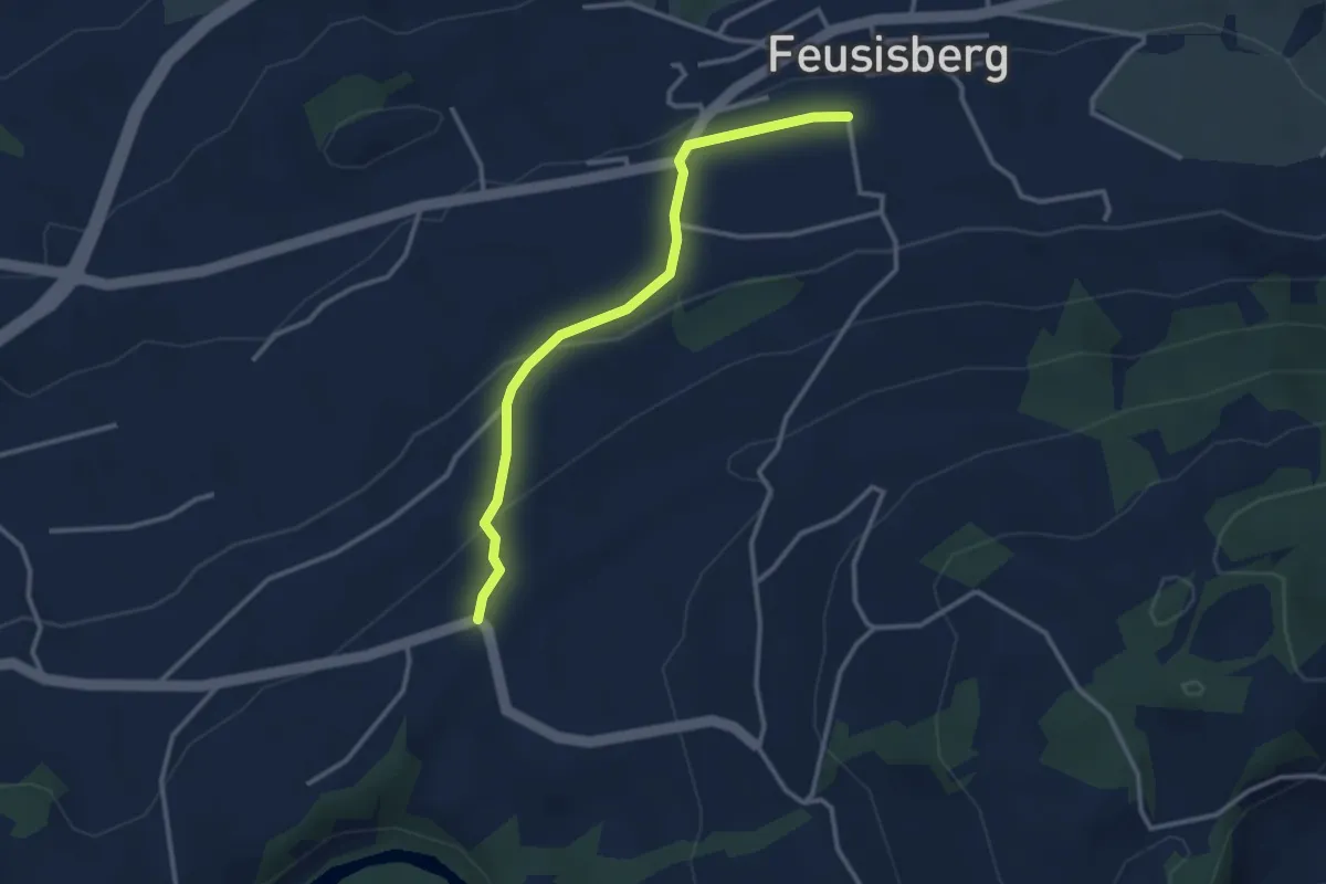
Easy · Trail
Feusisberg (Moos) - Chastenegg
3.0 km · ↑ 132 m · 1 h · 14 km away
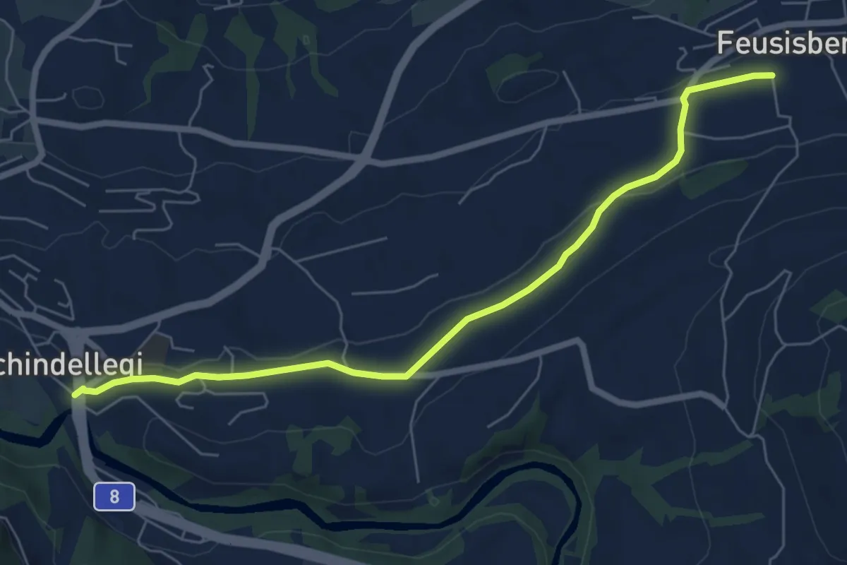
Easy · Trail
Schindellegi - Feusisberg (Moos)
6.6 km · ↑ 94 m · 1 h 45 min · 14 km away
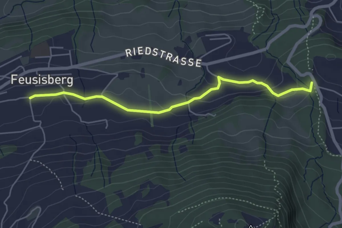
Easy · Trail
Feusisberg (Moos) - Schnäggenburg
4.4 km · ↑ 137 m · 1 h 20 min · 14 km away
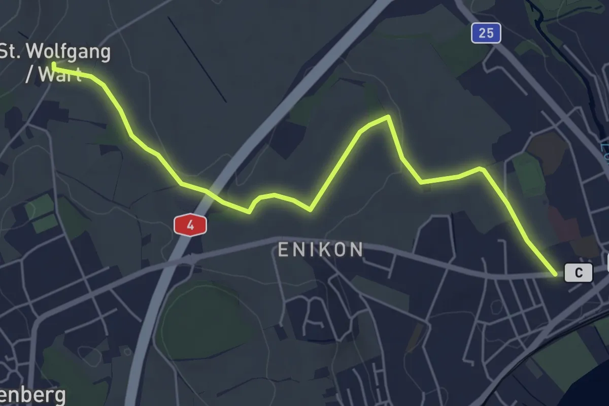
Easy · Trail
Cham - Sankt Wolfgang
5.8 km · ↑ 41 m · 1 h 27 min · 14 km away
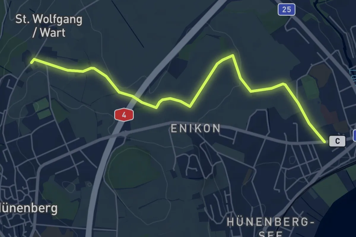
Easy · Trail
Cham - Wart
5.8 km · ↑ 50 m · 1 h 28 min · 14 km away
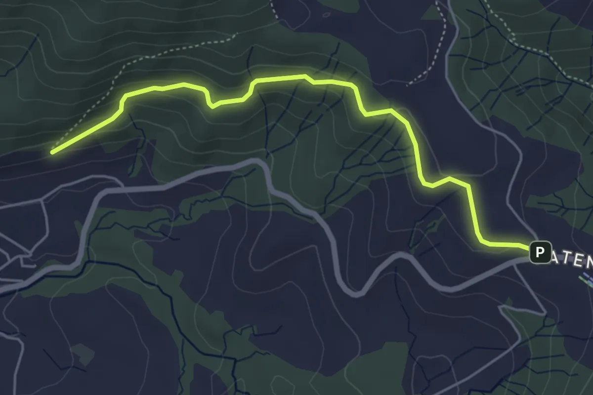
Easy · Trail
Gireggwald – Raten
5.0 km · ↑ 194 m · 1 h 36 min · 14 km away
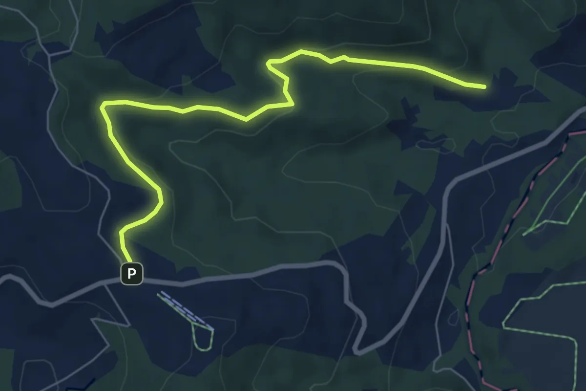
Easy · Trail
Breitried – Raten
6.3 km · ↑ 173 m · 1 h 52 min · 14 km away
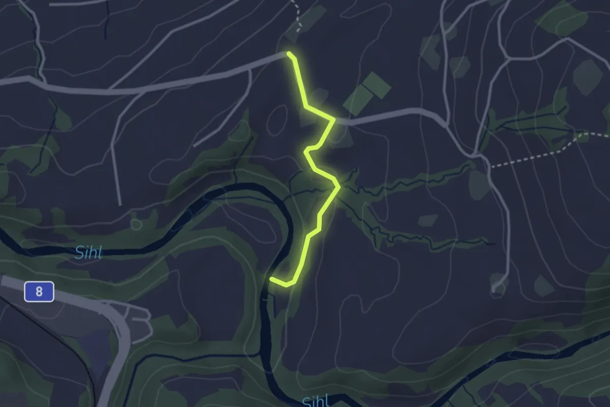
Easy · Trail
Dreiwässeren - Chastenegg
2.3 km · ↑ 57 m · 40 min · 14 km away
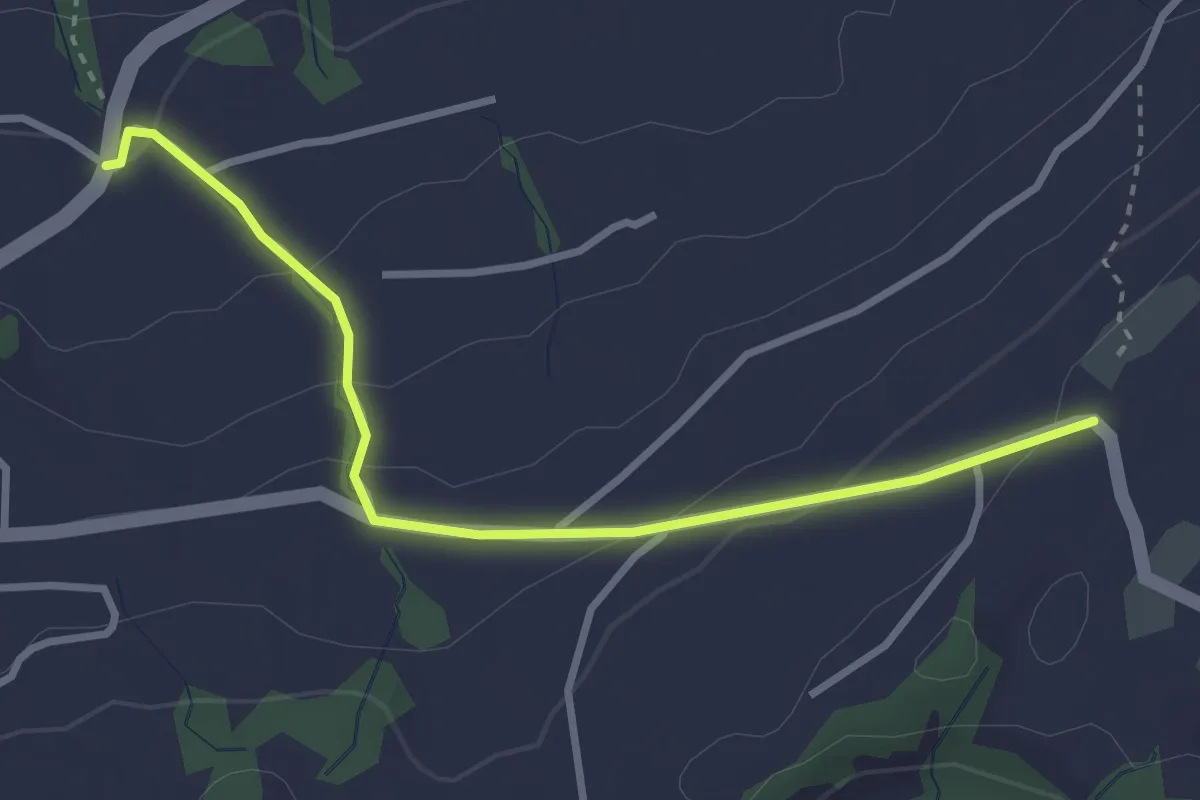
Easy · Trail
Chastenegg - Peterschwändi
3.1 km · ↑ 125 m · 1 h 1 min · 14 km away
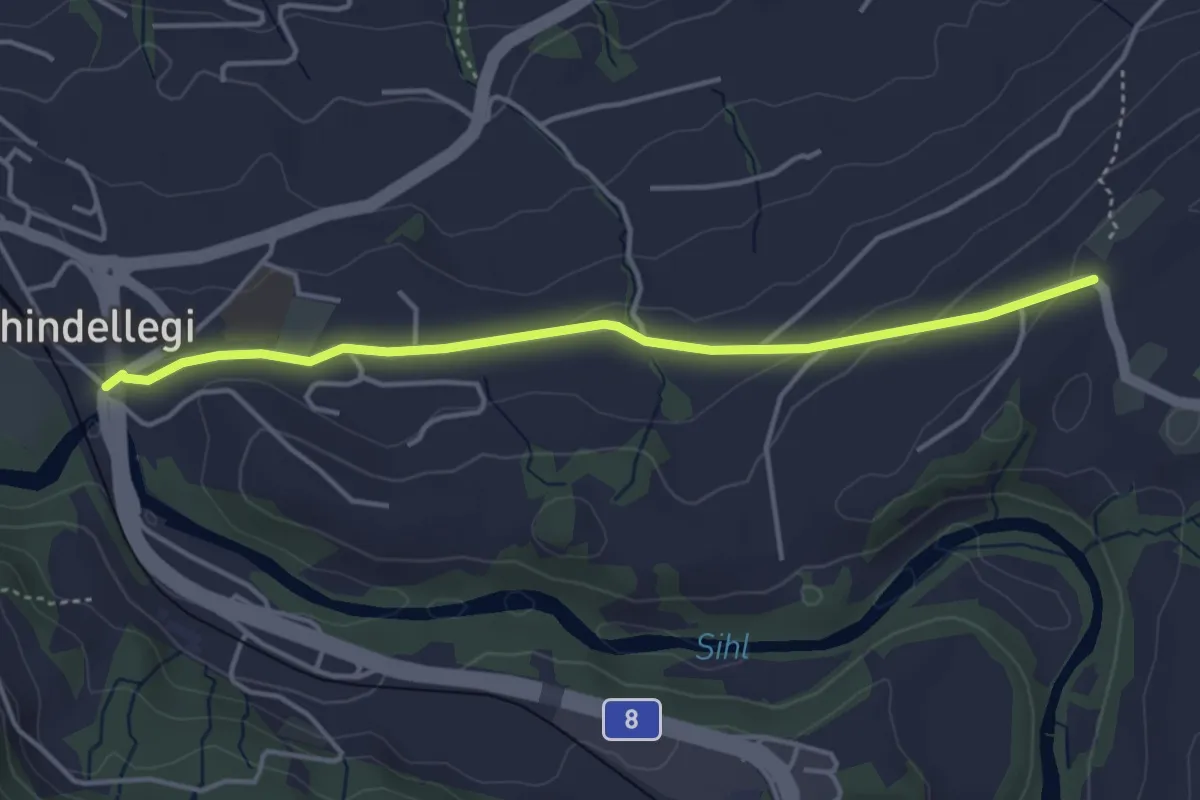
Easy · Trail
Schindellegi - Chastenegg
4.0 km · ↑ 78 m · 1 h 7 min · 14 km away
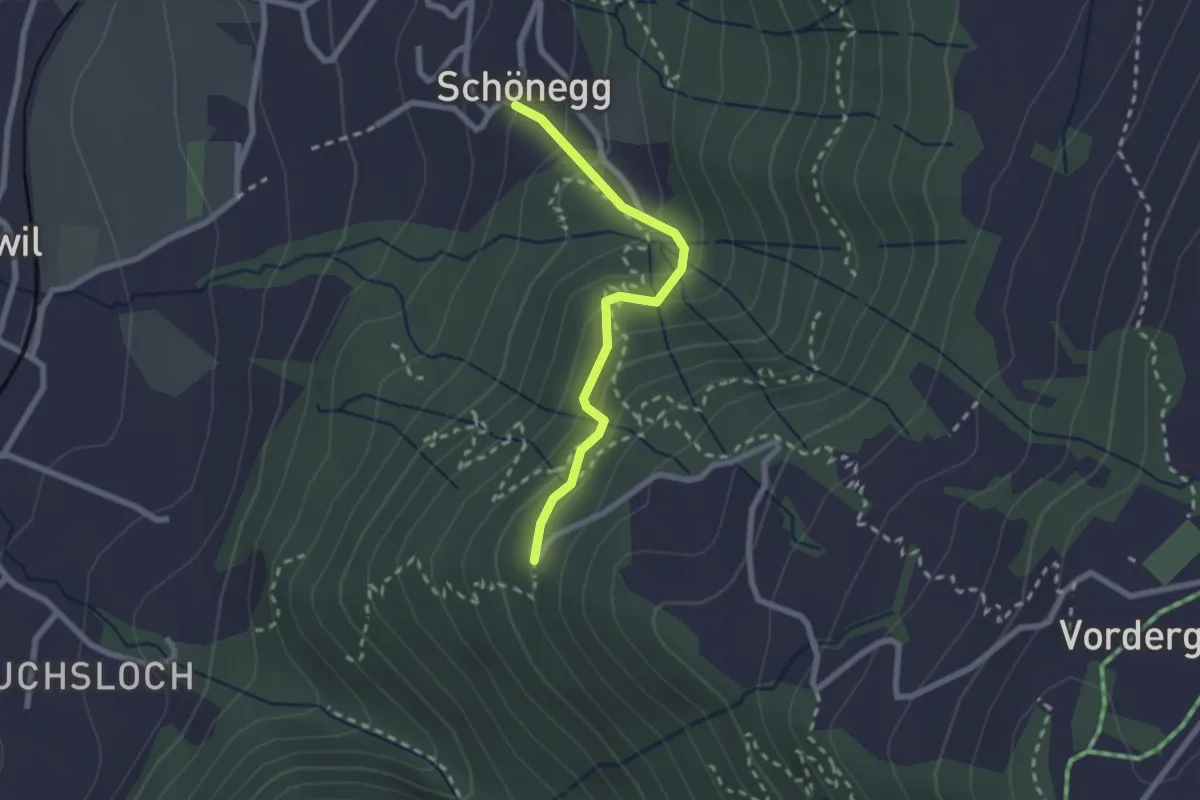
Easy · Trail
Schönegg – Lärch
2.1 km · ↑ 206 m · 57 min · 14 km away