Trails near Horgen
649 hikes starting within 15 km, nearest first.
Nearest first, page 14 of 14
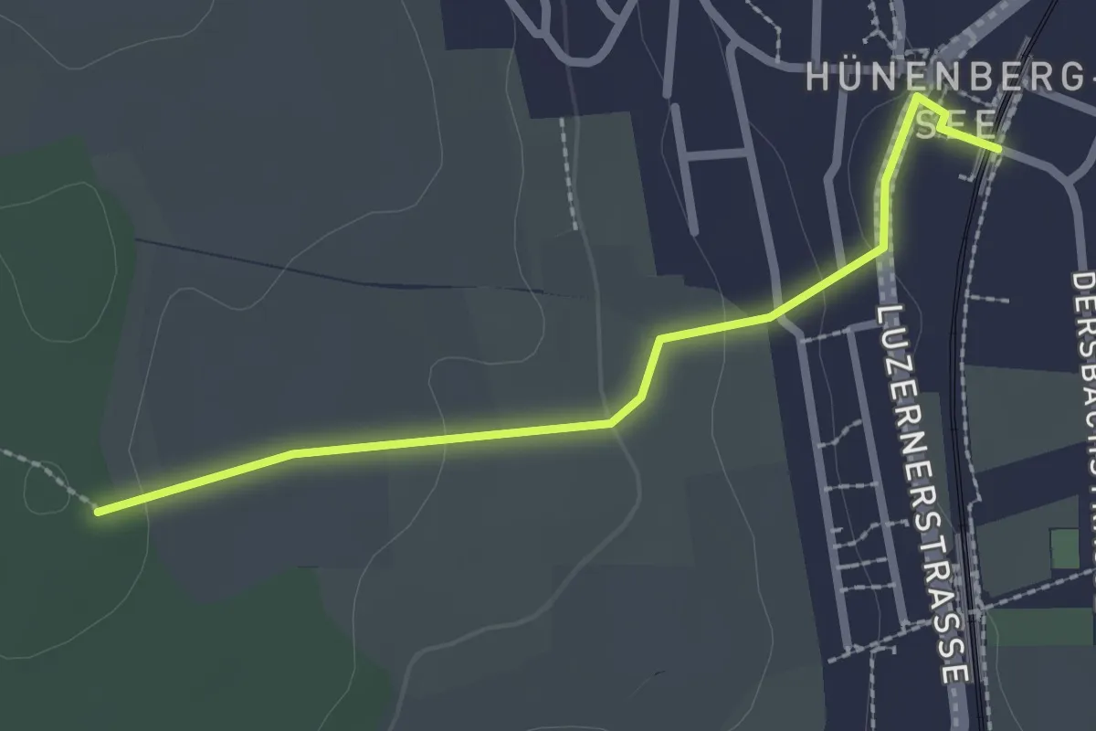
Easy · Trail
Zythus - Langholz
2.3 km · ↑ 60 m · 41 min · 15 km away
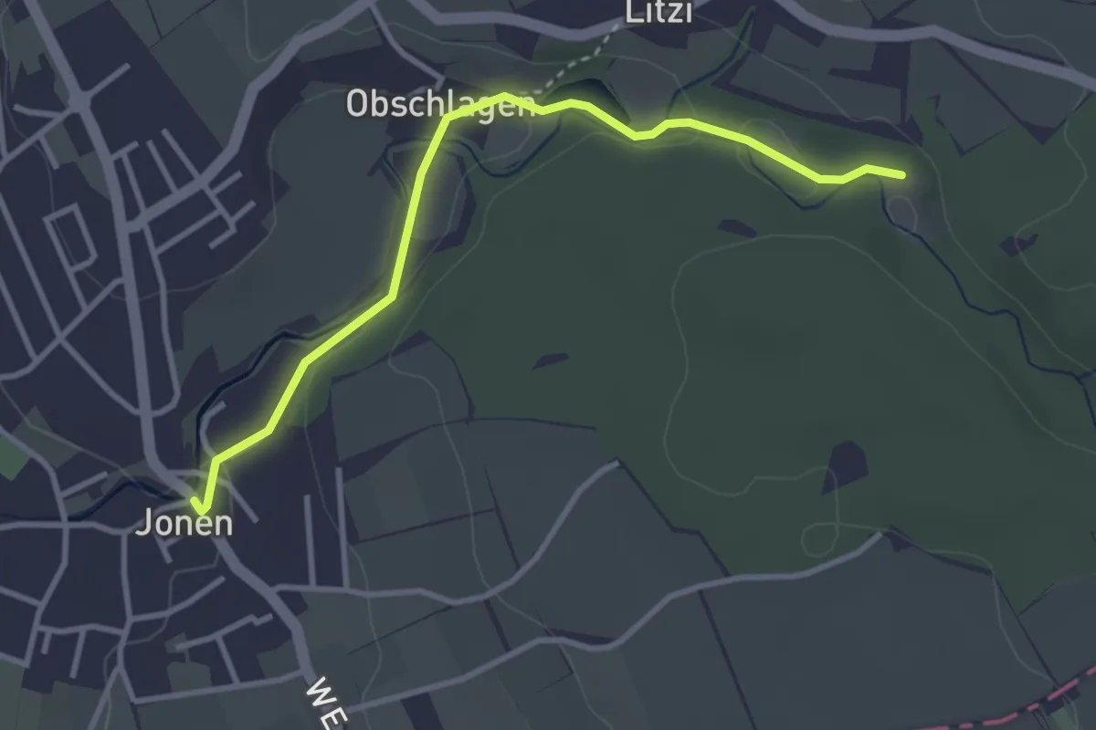
Easy · Trail
Jonen - Kapelle Jonental
3.3 km · ↑ 57 m · 54 min · 15 km away
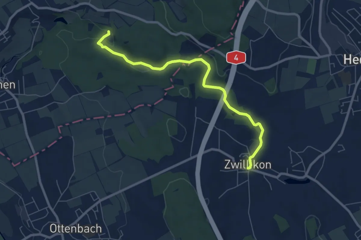
Easy · Trail
Zwillikon - Kapelle Jonental
6.4 km · ↑ 82 m · 1 h 41 min · 15 km away
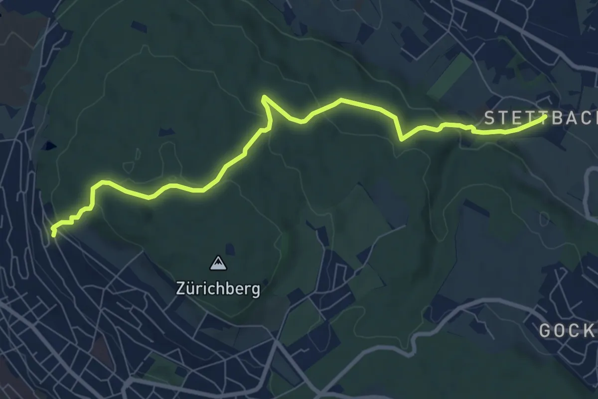
Easy · Pilgrim path
Hugenotten- und Waldenserweg
4.0 km · ↑ 223 m · 1 h 24 min · 15 km away
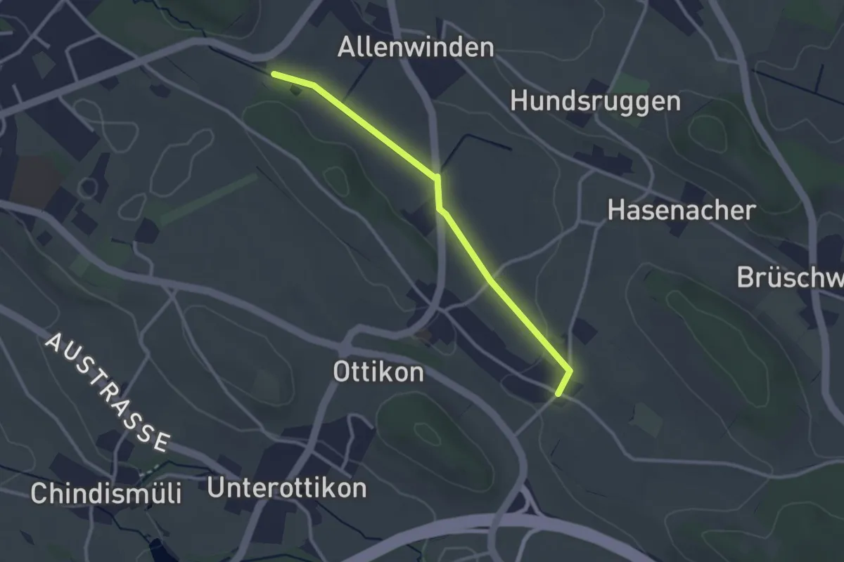
Easy · Trail
Berghof - Oberottikon
2.6 km · ↑ 9 m · 38 min · 15 km away
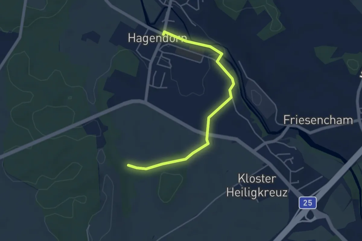
Easy · Trail
Hagendorn - Lindenchamerwald
4.2 km · ↑ 45 m · 1 h 5 min · 15 km away
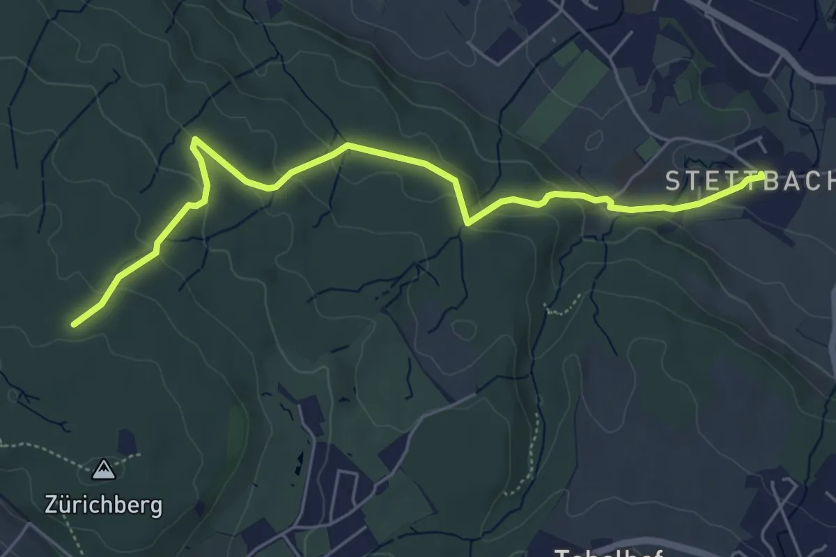
Easy · Trail
Stettbach – Zürichberg
5.6 km · ↑ 230 m · 1 h 50 min · 15 km away
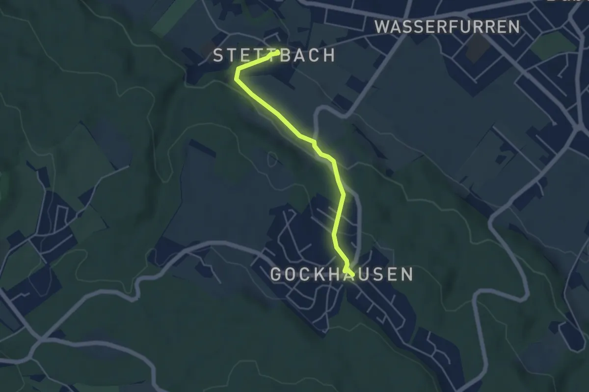
Easy · Trail
Gockhausen – Stettbach
3.7 km · ↑ 119 m · 1 h 8 min · 15 km away
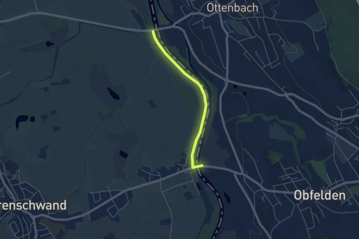
Easy · Trail
Brücke Ottenbach - Brücke Rickenbach
4.0 km · ↑ 0 m · 56 min · 15 km away
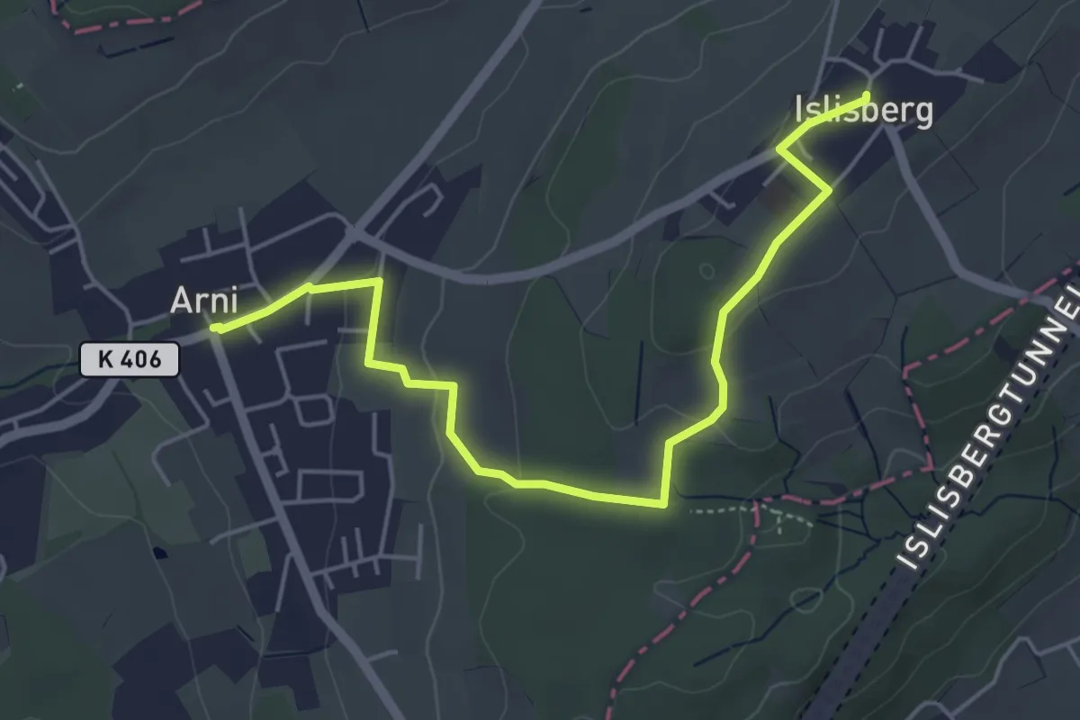
Easy · Trail
Arni – Islisberg
5.3 km · ↑ 126 m · 1 h 31 min · 15 km away
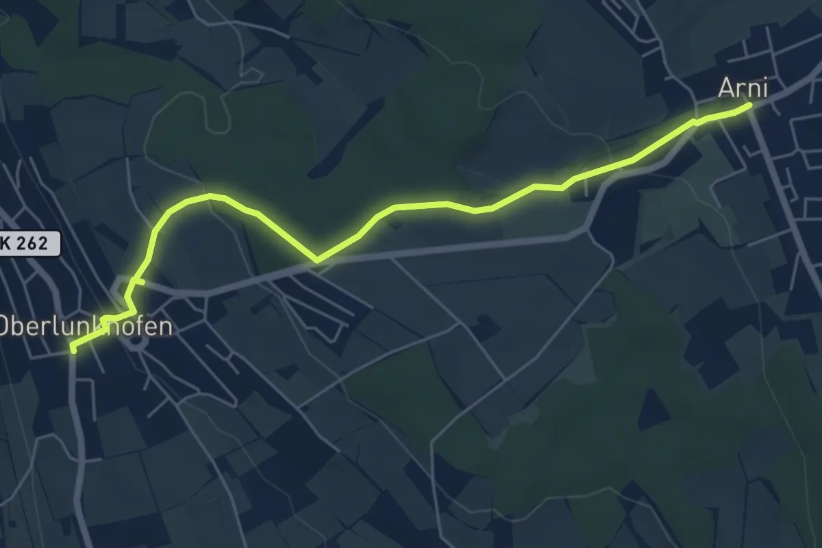
Easy · Trail
Oberlunkhofen – Arni
5.8 km · ↑ 138 m · 1 h 40 min · 15 km away
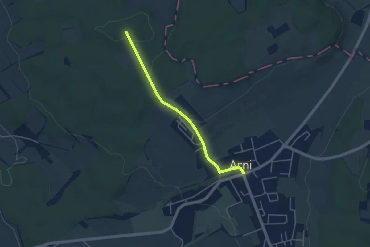
Easy · Trail
Arni – Lieli
3.0 km · ↑ 46 m · 49 min · 15 km away
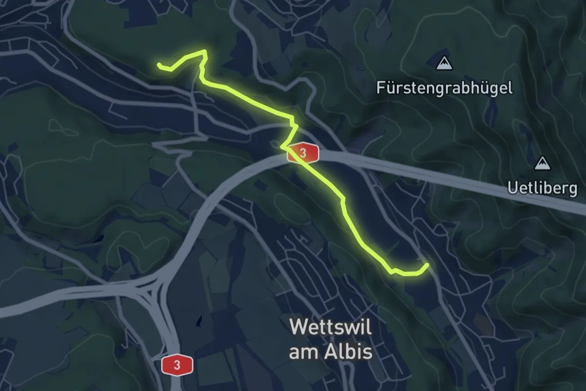
Easy · Trail
Sellenbüren – Maas
5.6 km · ↑ 165 m · 1 h 41 min · 15 km away
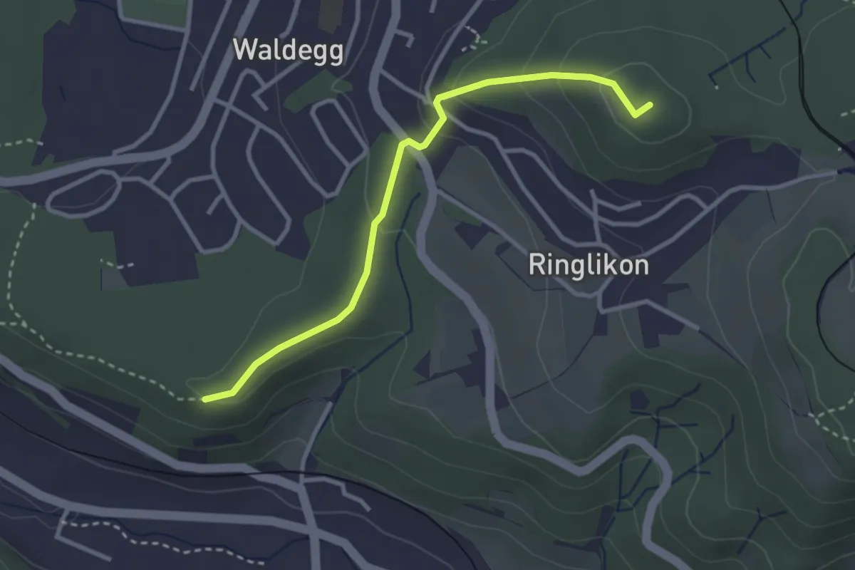
Easy · Summit
Maas – Ringlikon (Station)
2.9 km · ↑ 126 m · 58 min · 15 km away
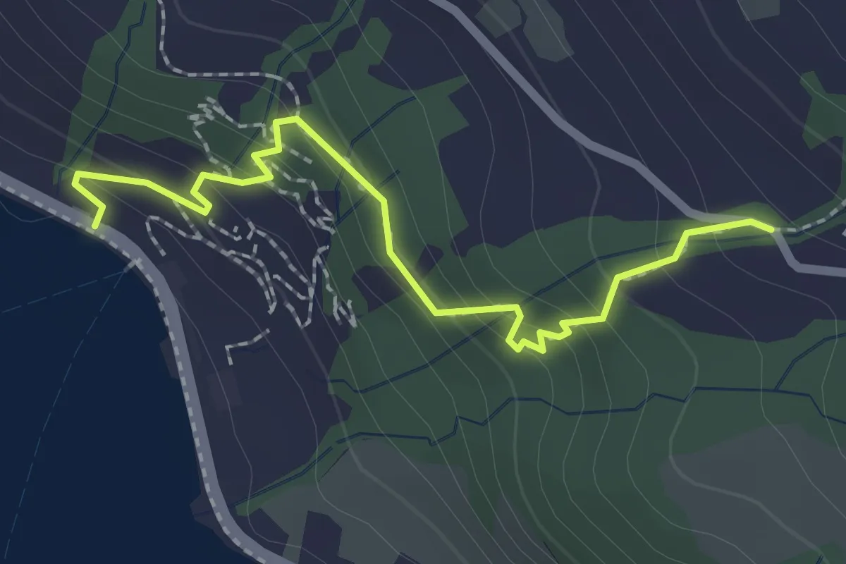
Easy · Trail
Zwüschenbäch - Ländli
2.2 km · ↑ 165 m · 53 min · 15 km away
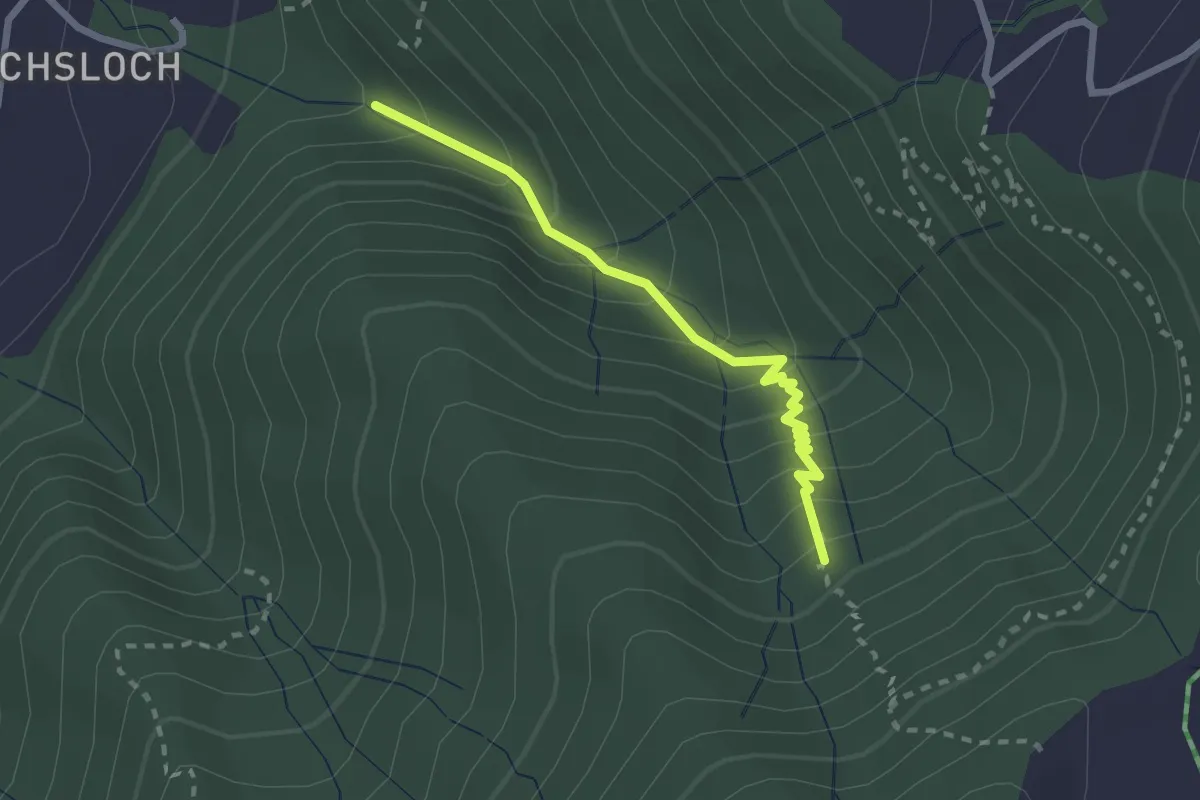
Easy · Trail
Mülibachbrücke – Zügli
2.3 km · ↑ 227 m · 1 h 2 min · 15 km away
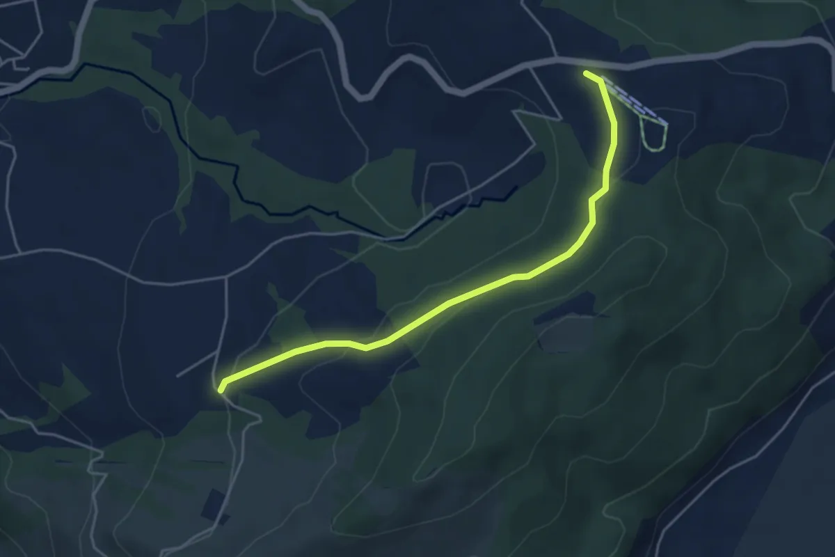
Easy · Trail
Raten - Waldschlagchrütz
4.3 km · ↑ 156 m · 1 h 21 min · 15 km away
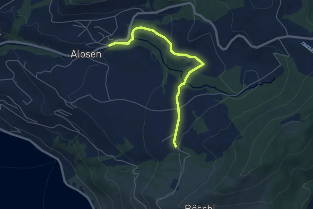
Easy · Trail
Waldschlagchrüz - Alosen
4.8 km · ↑ 102 m · 1 h 21 min · 15 km away
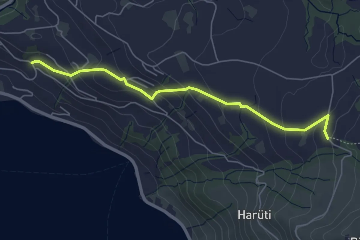
Easy · Trail
Bättenbüel – Waldschlagchrüz
4.7 km · ↑ 237 m · 1 h 38 min · 15 km away
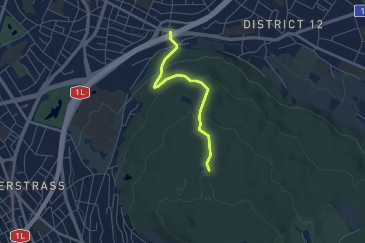
Easy · Trail
Waldgarten - Waldhüsli
4.0 km · ↑ 186 m · 1 h 21 min · 15 km away
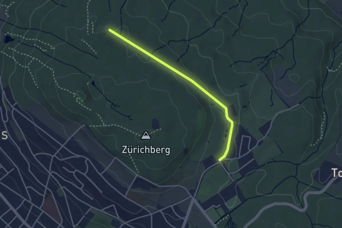
Easy · Trail
Waldhüsli – Zoo
2.9 km · ↑ 32 m · 46 min · 15 km away
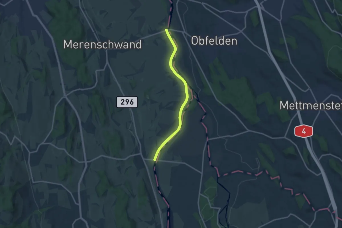
Medium · Trail
Brücke Rickenbach - Brücke Mühlau
9.4 km · ↑ 58 m · 2 h 21 min · 15 km away
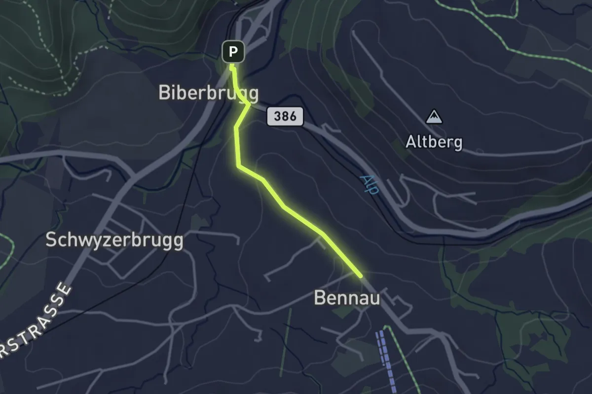
Easy · Trail
Biberbrugg – Bennau
2.3 km · ↑ 54 m · 40 min · 15 km away
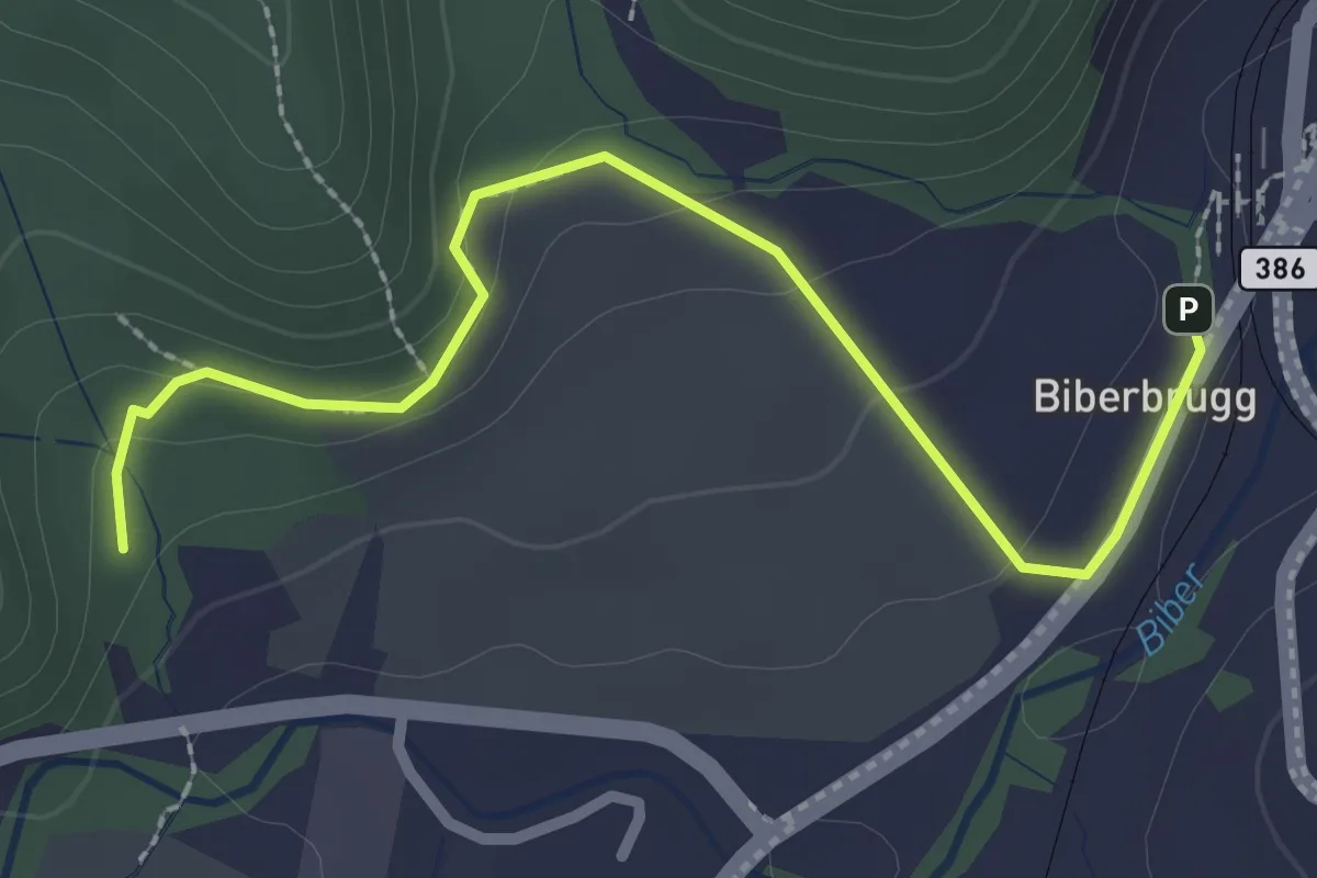
Easy · Trail
Biberbrugg – Tomisloch
2.7 km · ↑ 108 m · 53 min · 15 km away
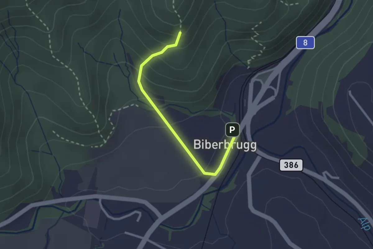
Easy · Trail
Biberbrugg – Chlimsen
2.2 km · ↑ 146 m · 51 min · 15 km away