Trails near Ilanz
141 hikes starting within 15 km, nearest first.
Nearest first, page 3 of 3
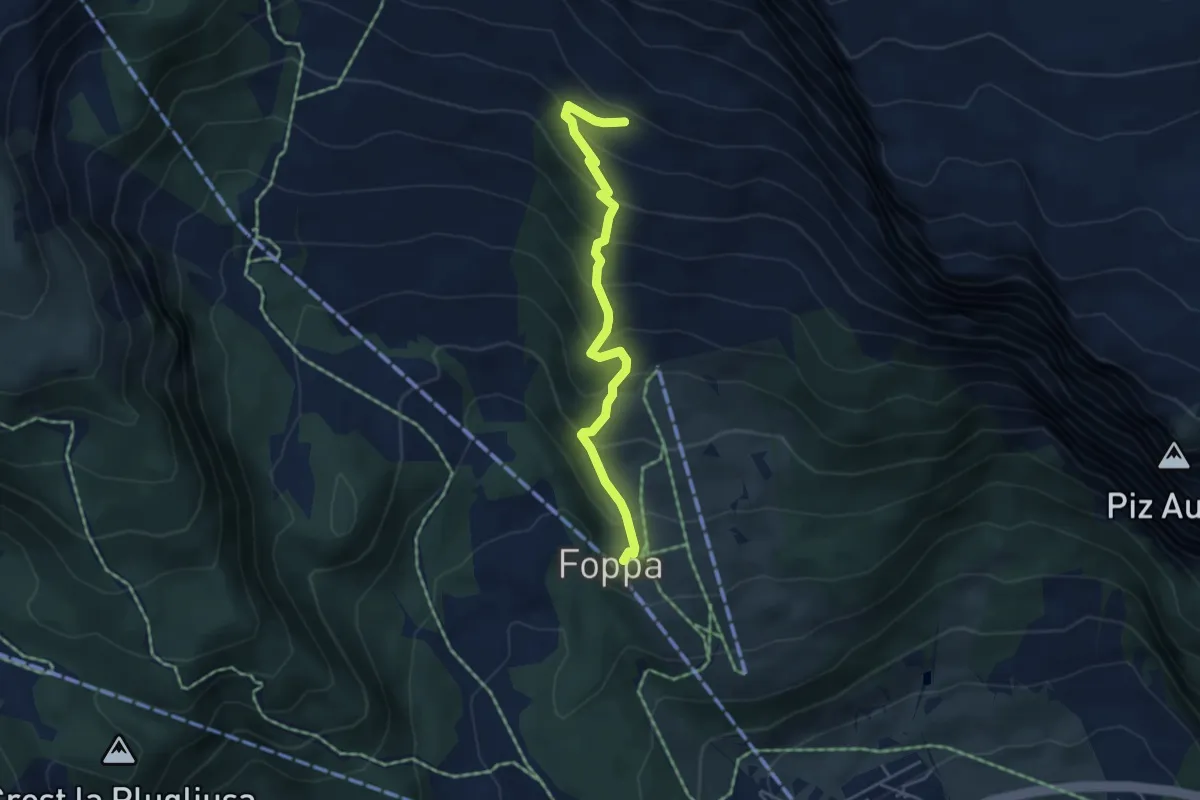
Medium · Trail
Foppa - Naraus
4.5 km · ↑ 426 m · 1 h 59 min · 11 km away
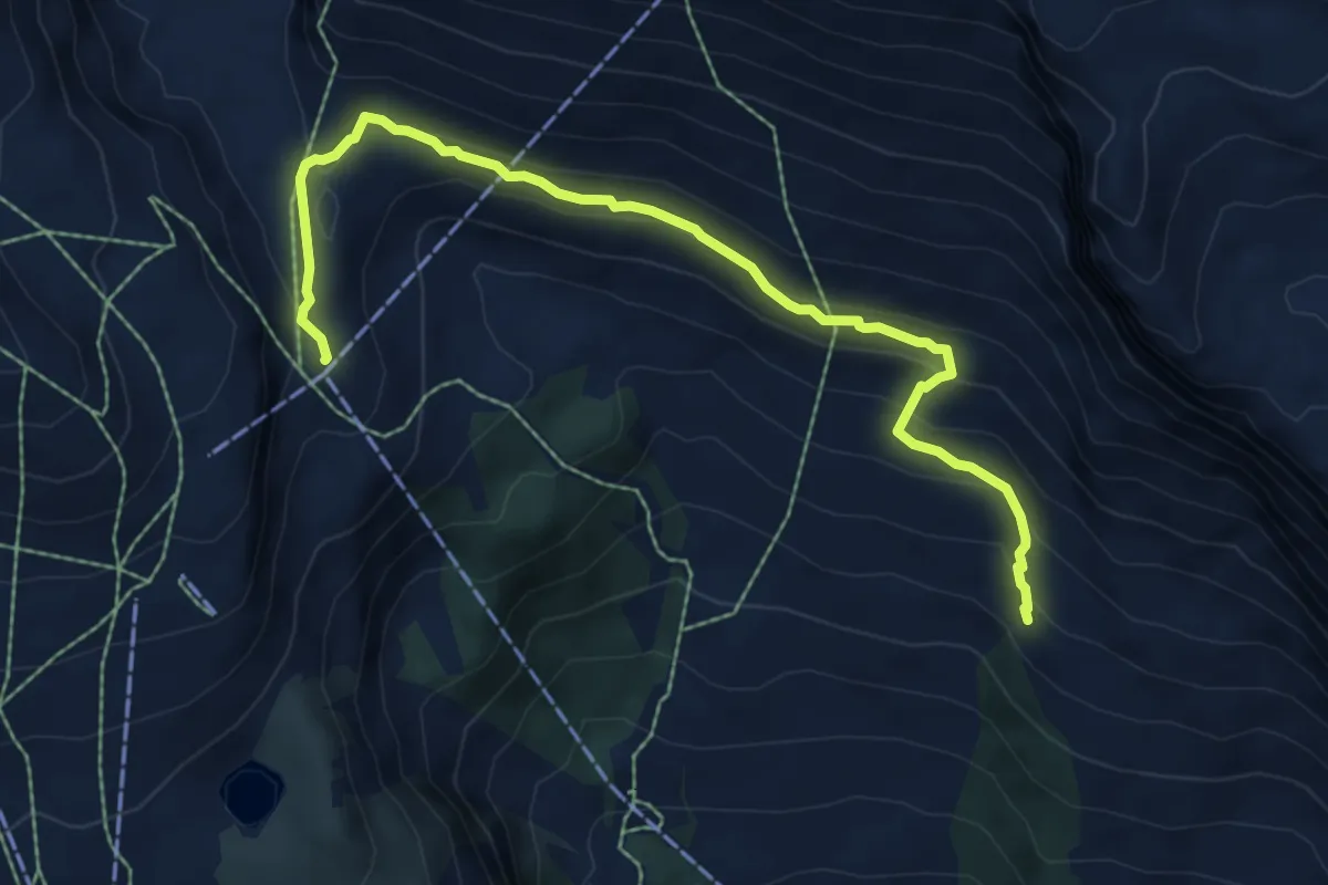
Medium · Cabin
Naraus – Segnes
7.4 km · ↑ 320 m · 2 h 27 min · 11 km away
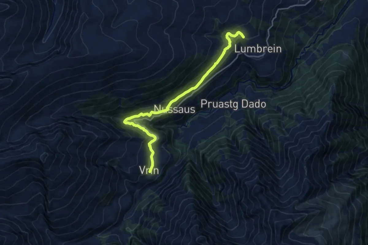
Medium · Trail
Vrin-Stumiaus
13.7 km · ↑ 717 m · 4 h 47 min · 11 km away
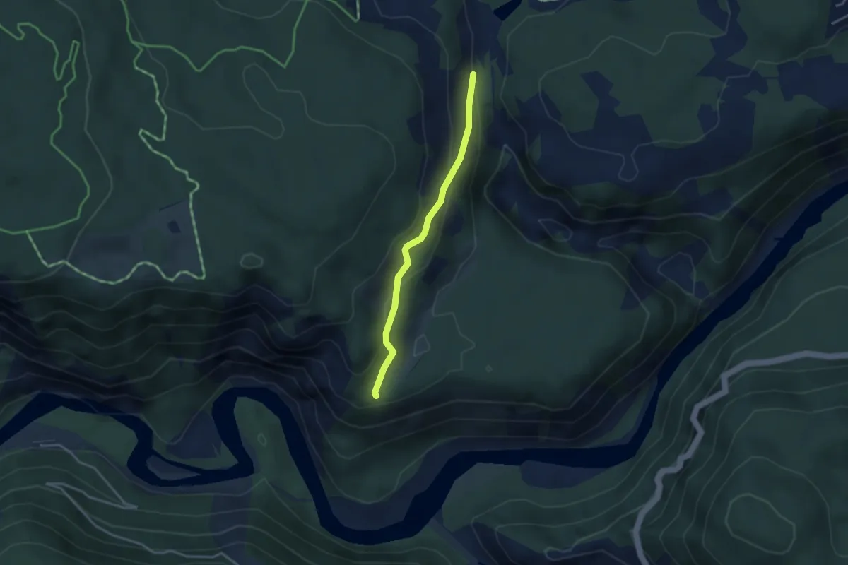
Easy · Trail
Pintrun – Ransun
2.8 km · ↑ 138 m · 58 min · 11 km away
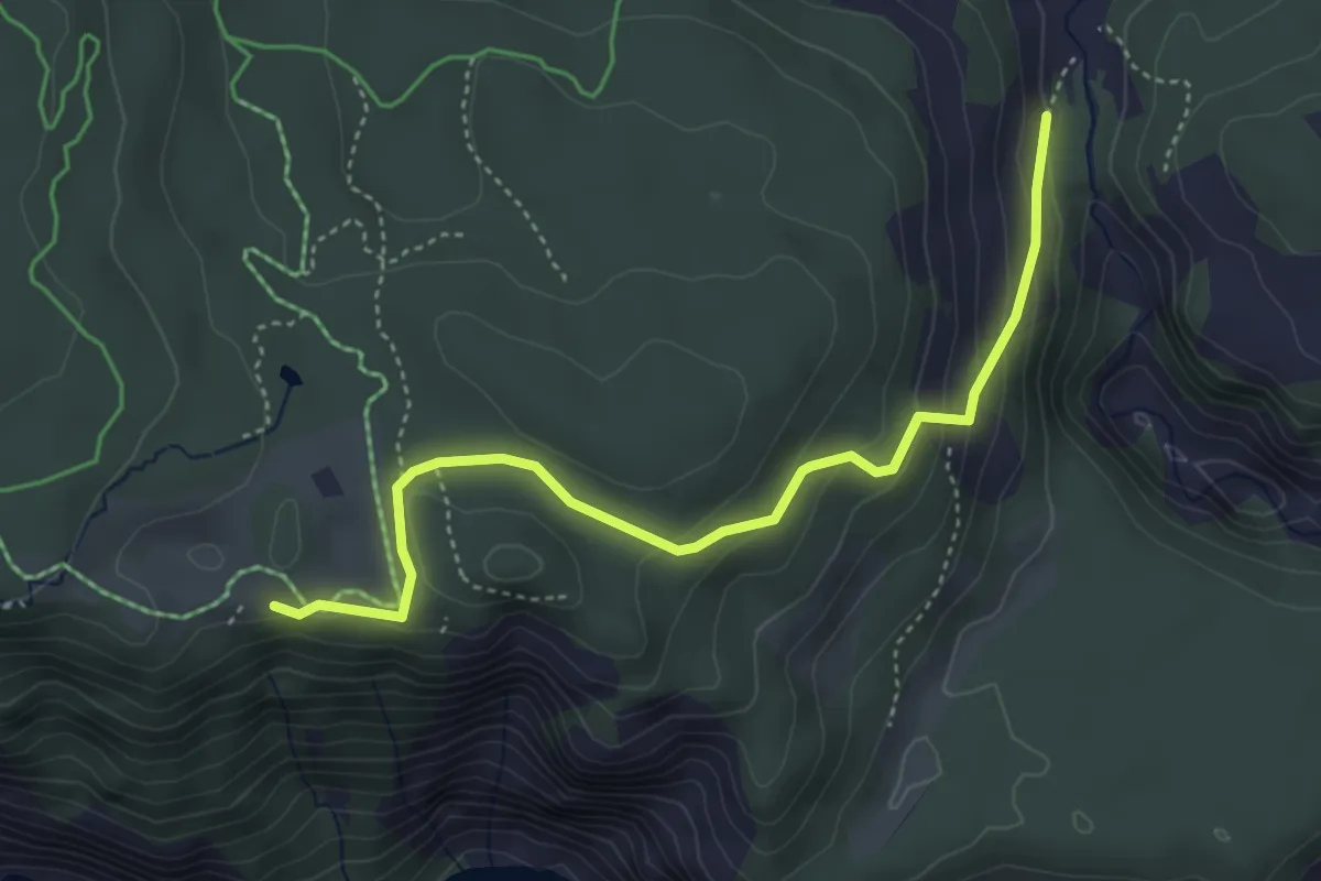
Easy · Trail
Conn – Pintrun
4.2 km · ↑ 180 m · 1 h 23 min · 11 km away
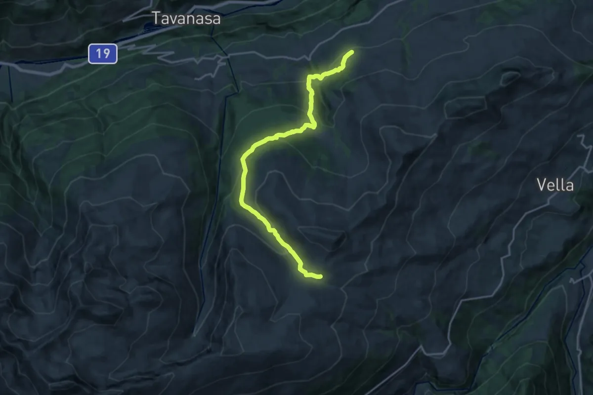
Demanding · Trail
Alp Sezner Obersaxen
16.9 km · ↑ 869 m · 5 h 53 min · 11 km away
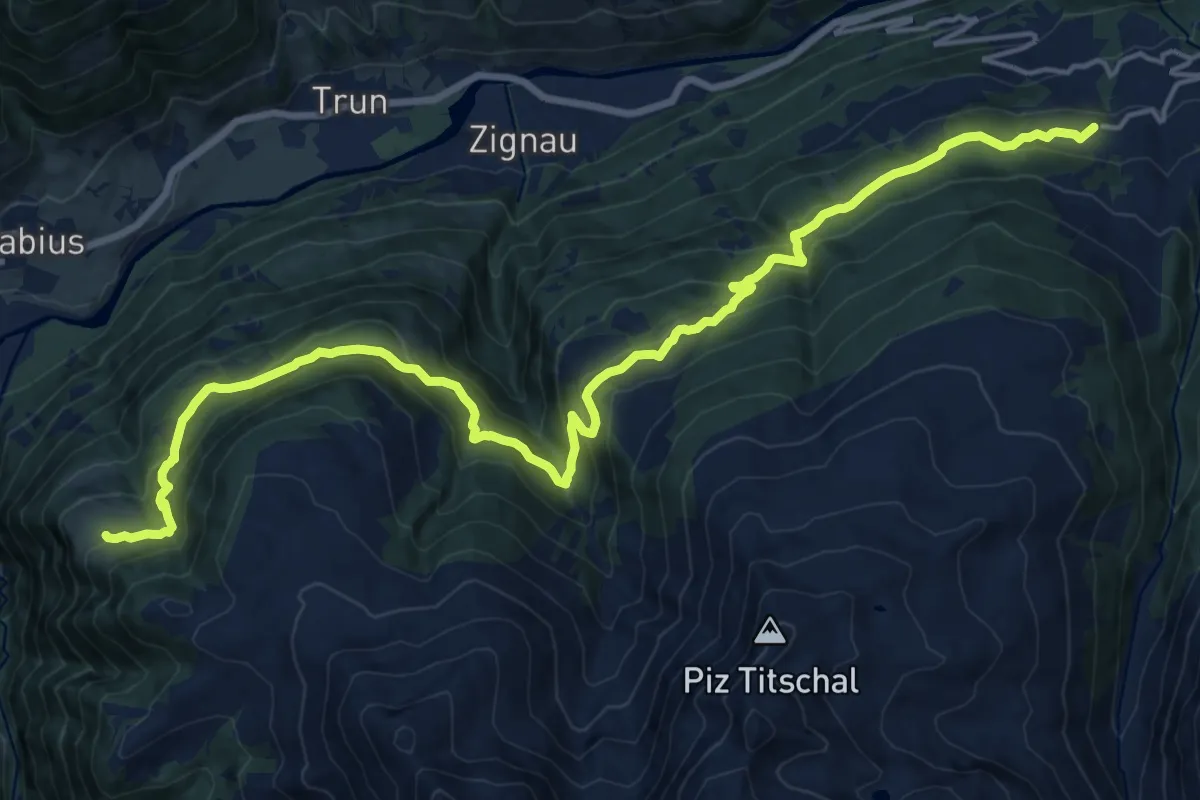
Demanding · Trail
Walserweg Gottardo - Etappe 14
22.2 km · ↑ 1256 m · 7 h 58 min · 11 km away
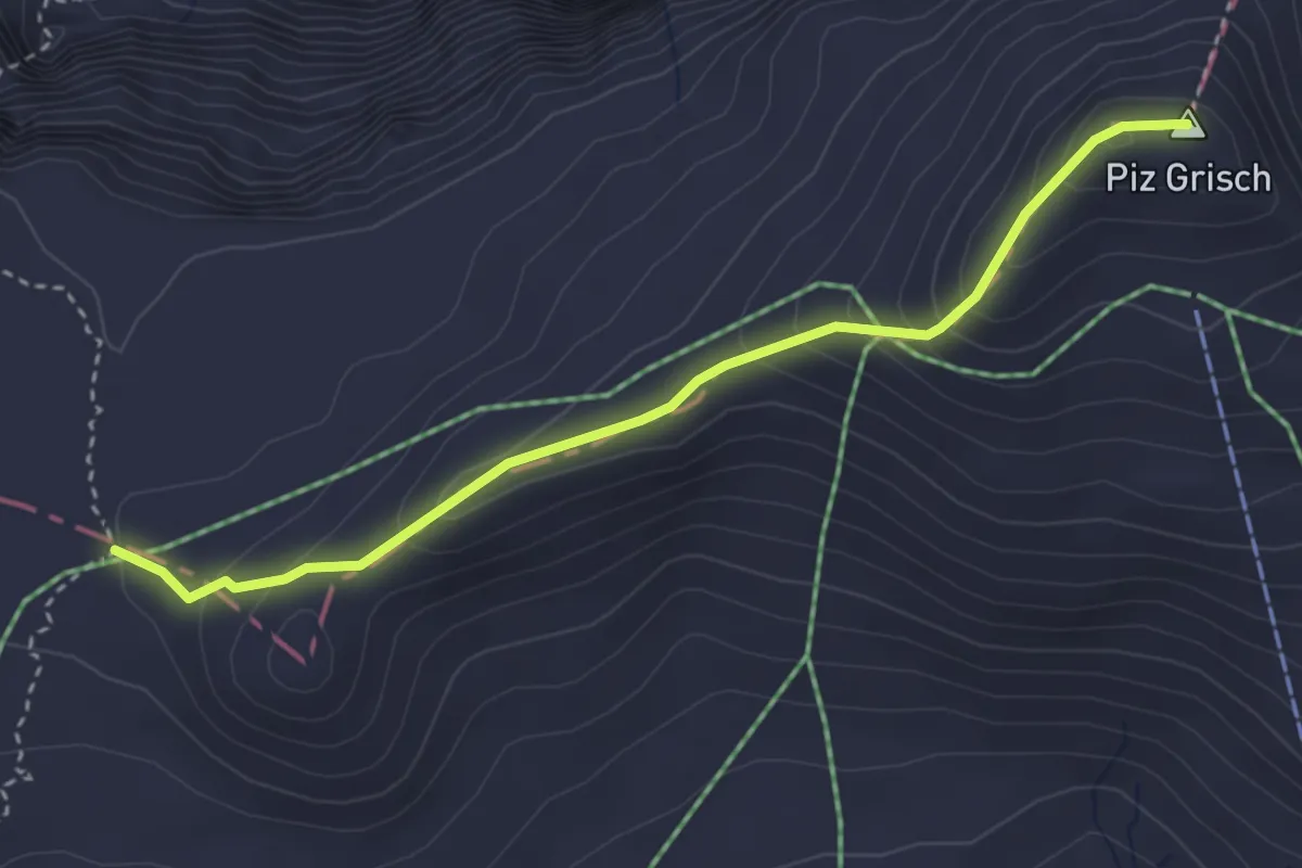
Expert · Summit
Grischsattel – Punkt 2620
3.5 km · ↑ 250 m · 1 h 21 min · 12 km away
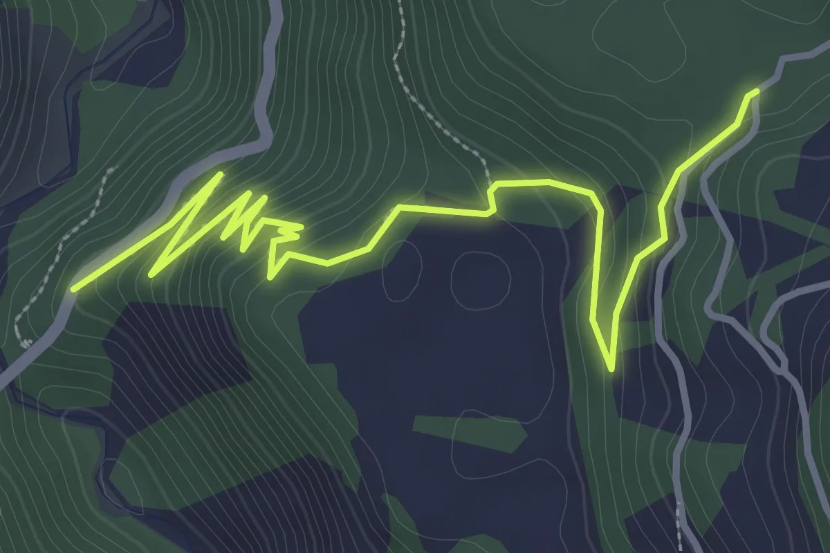
Easy · Trail
Sigl Ault - Brücke Versamer Tobel
4.3 km · ↑ 235 m · 1 h 32 min · 12 km away
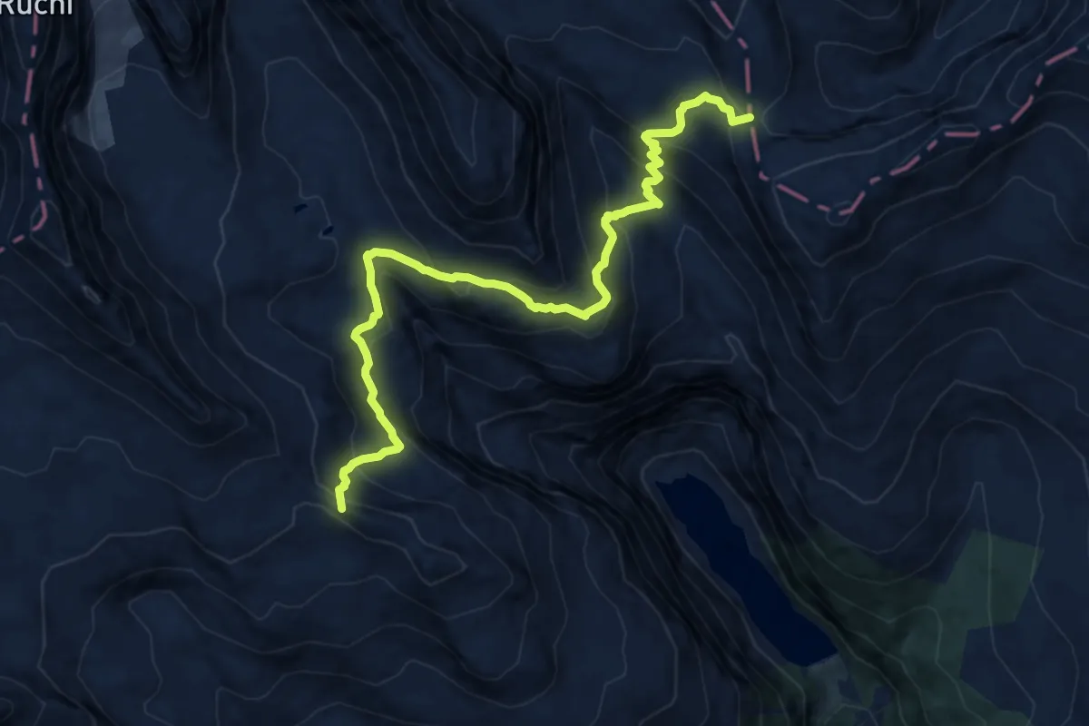
Expert · Summit
Via Glaralpina
11.3 km · ↑ 881 m · 4 h 35 min · 12 km away
Demanding · Summit
Via Glaralpina
12.6 km · ↑ 926 m · 4 h 59 min · 12 km away
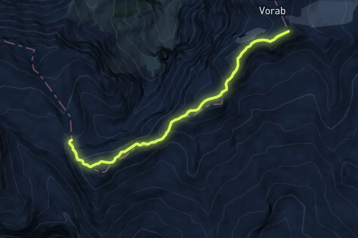
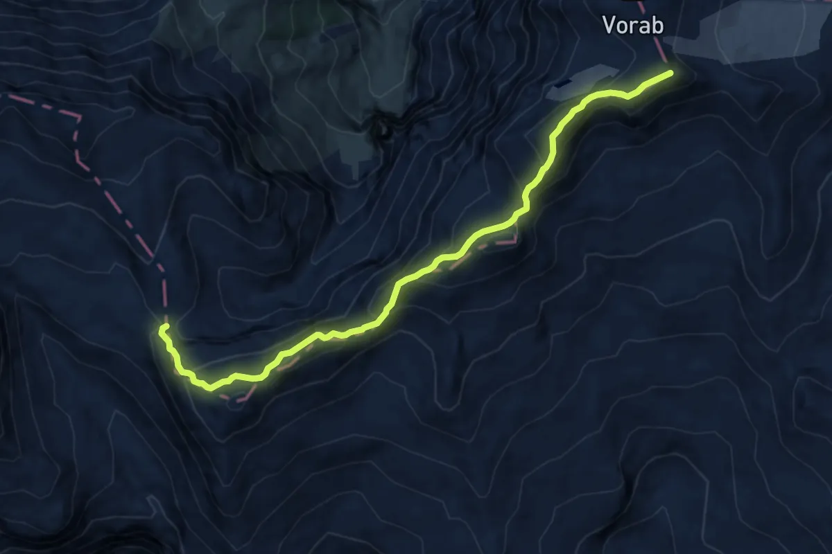
Expert · Summit
Panixerpass – Bündner Vorab
11.3 km · ↑ 881 m · 4 h 35 min · 12 km away
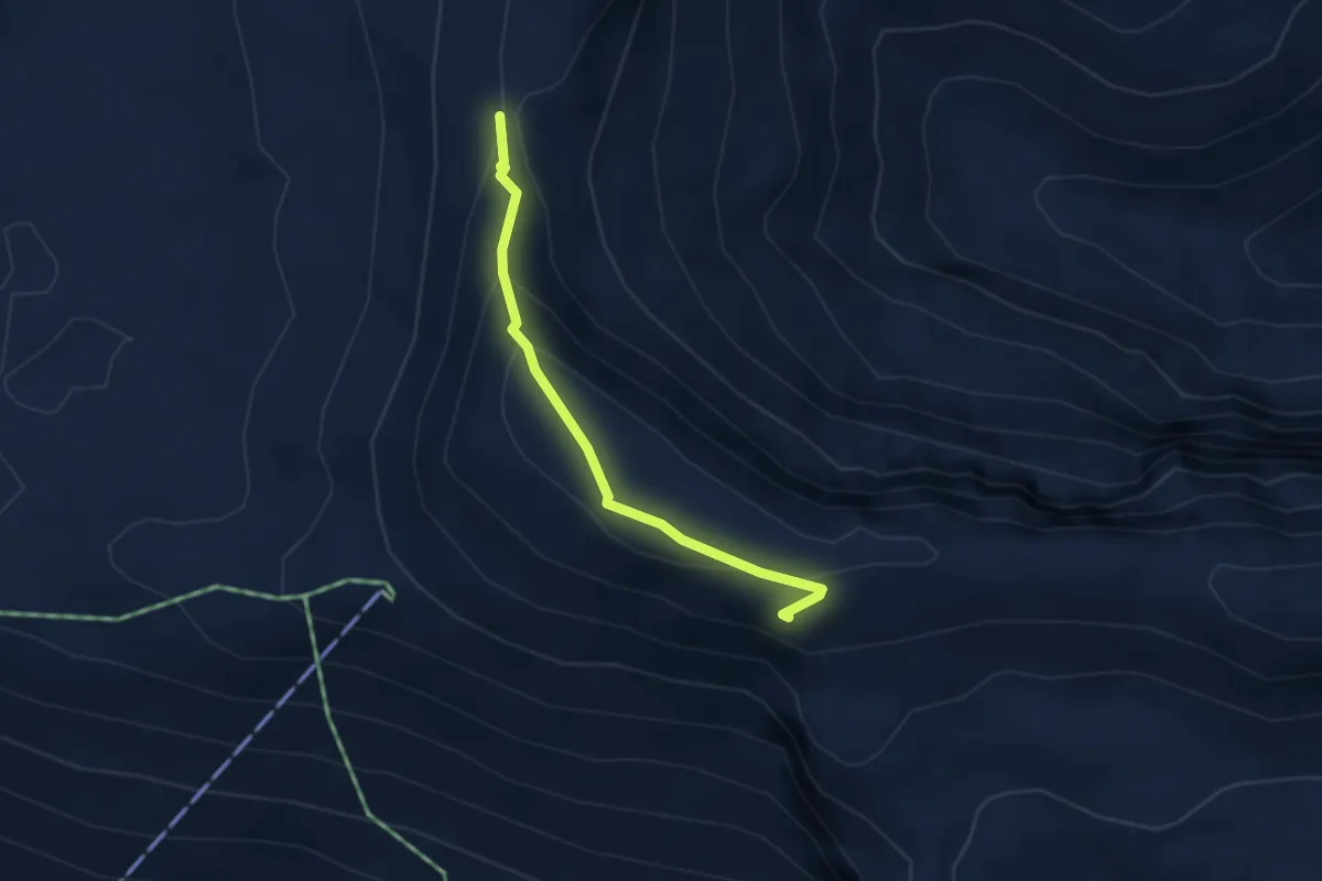
Medium · Trail
Fuorcla Raschaglius – Fil de Cassons
2.9 km · ↑ 151 m · 1 h 1 min · 13 km away
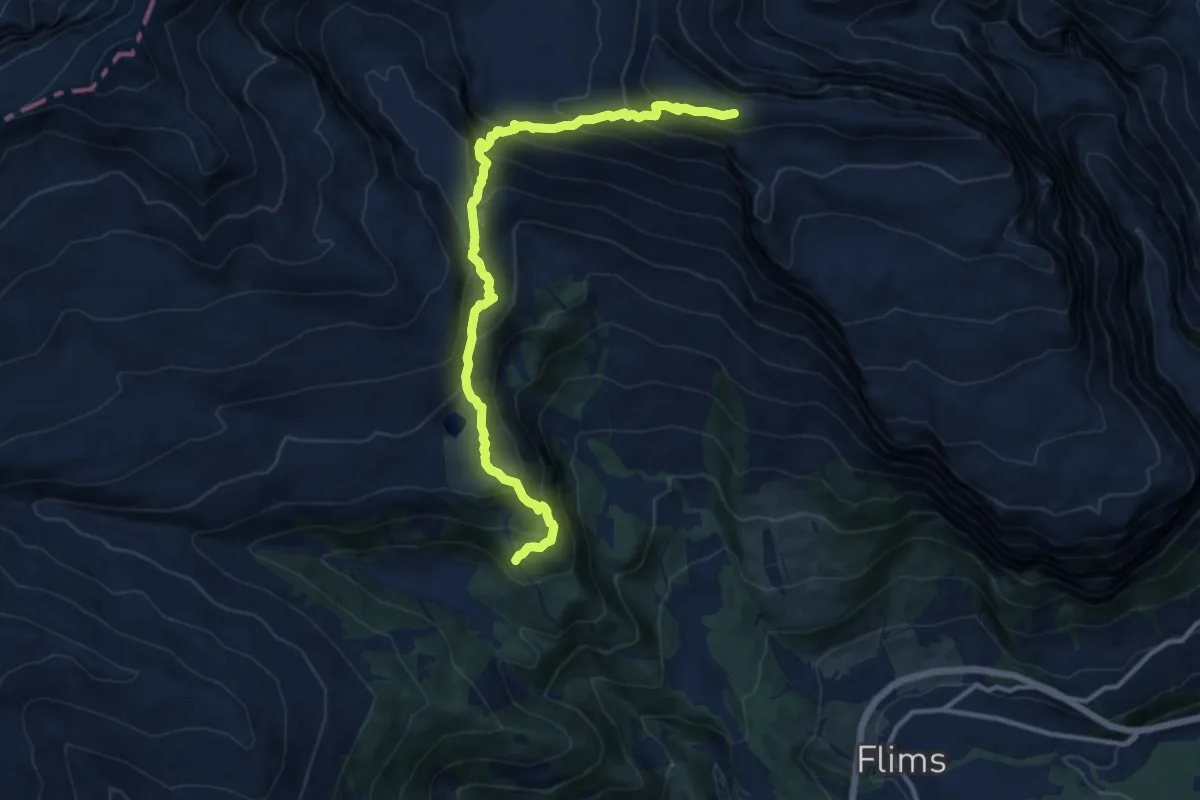
Demanding · Trail
Cassons – Runca
13.0 km · ↑ 968 m · 5 h 10 min · 13 km away
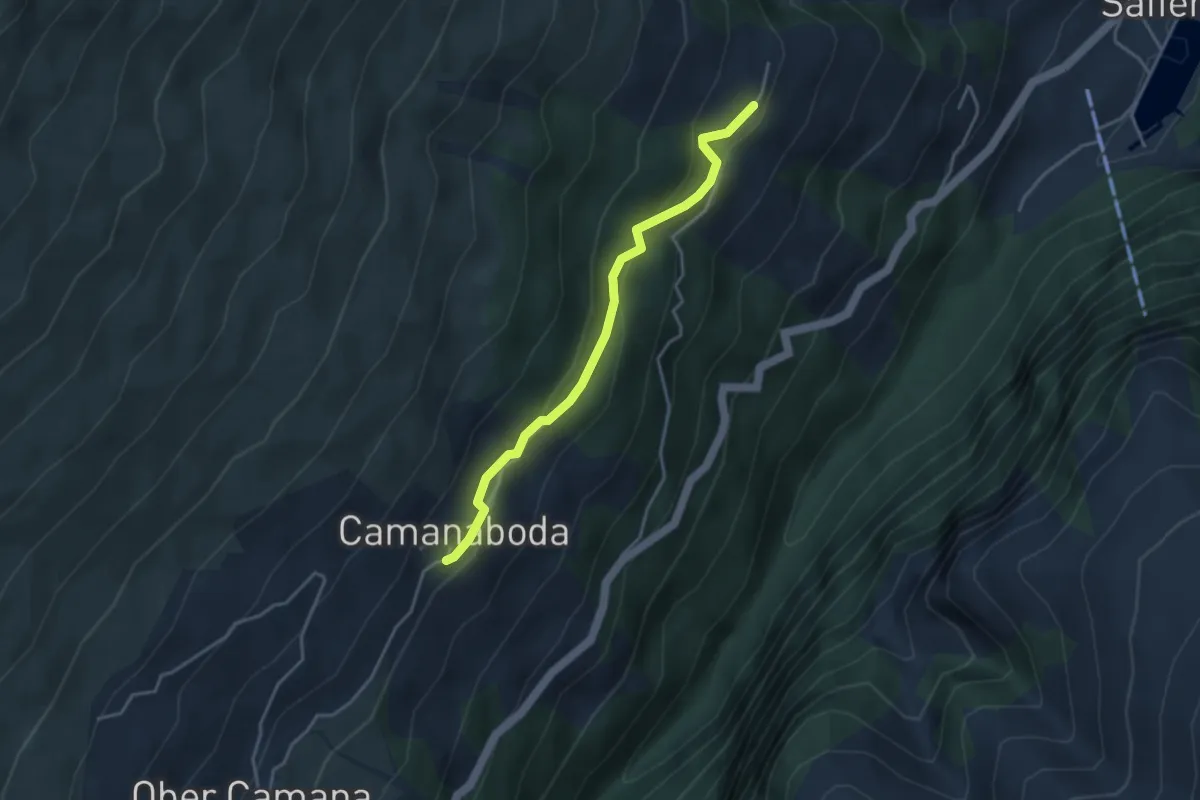
Easy · Trail
Camanaboda-Hof
3.5 km · ↑ 198 m · 1 h 16 min · 13 km away
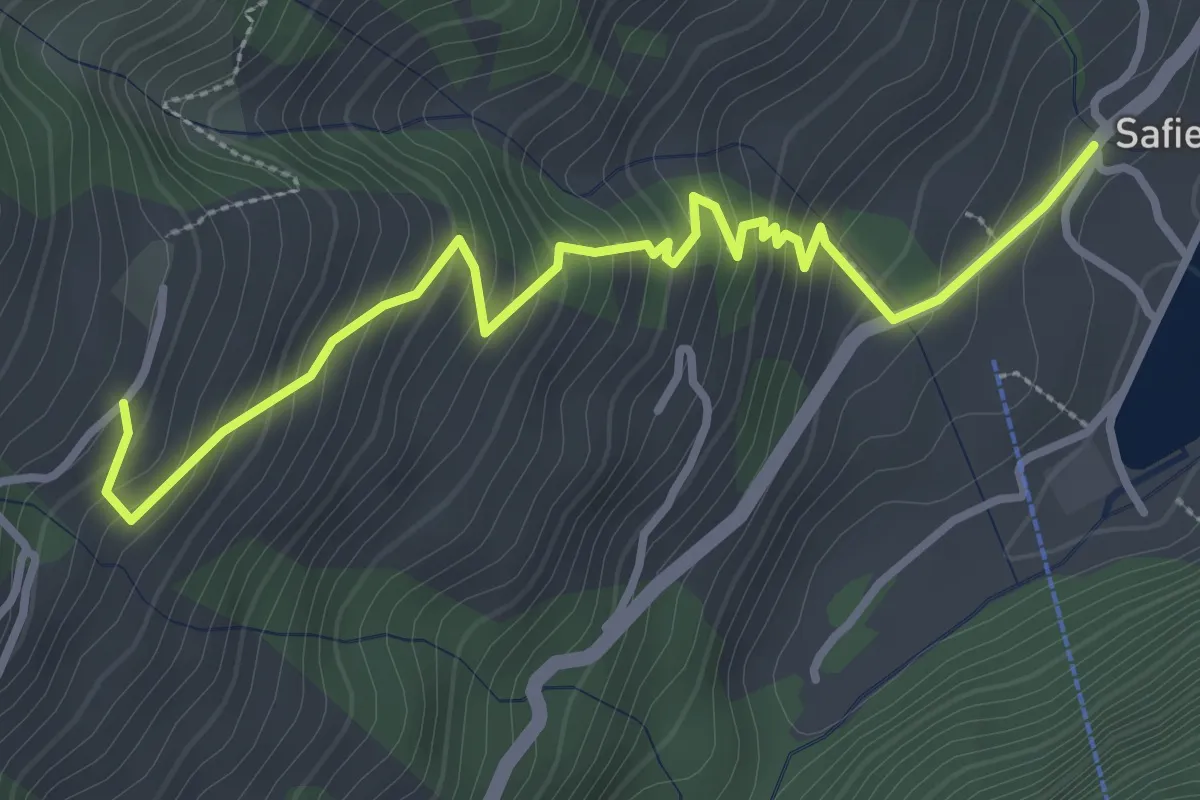
Medium · Trail
Hof-Safien Platz
3.7 km · ↑ 342 m · 1 h 36 min · 13 km away
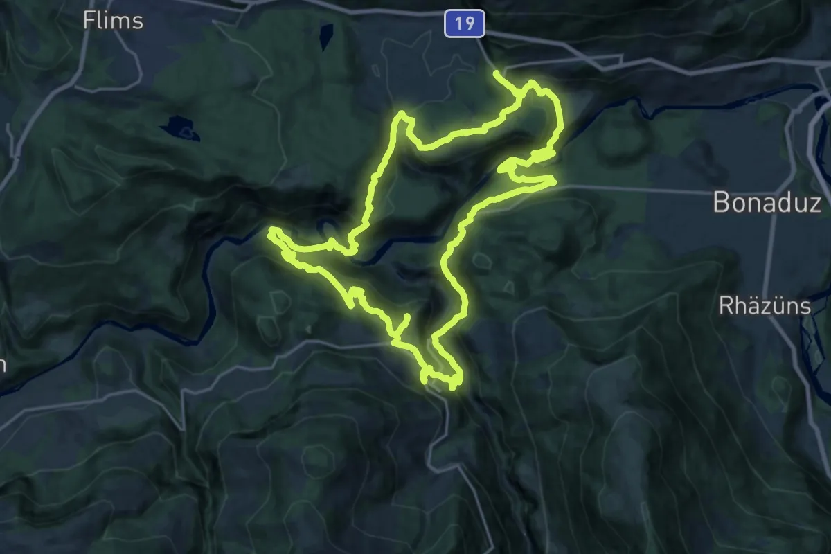
Demanding · Trail
Ruinaulta Sut
20.8 km · ↑ 1127 m · 7 h 40 min · 13 km away
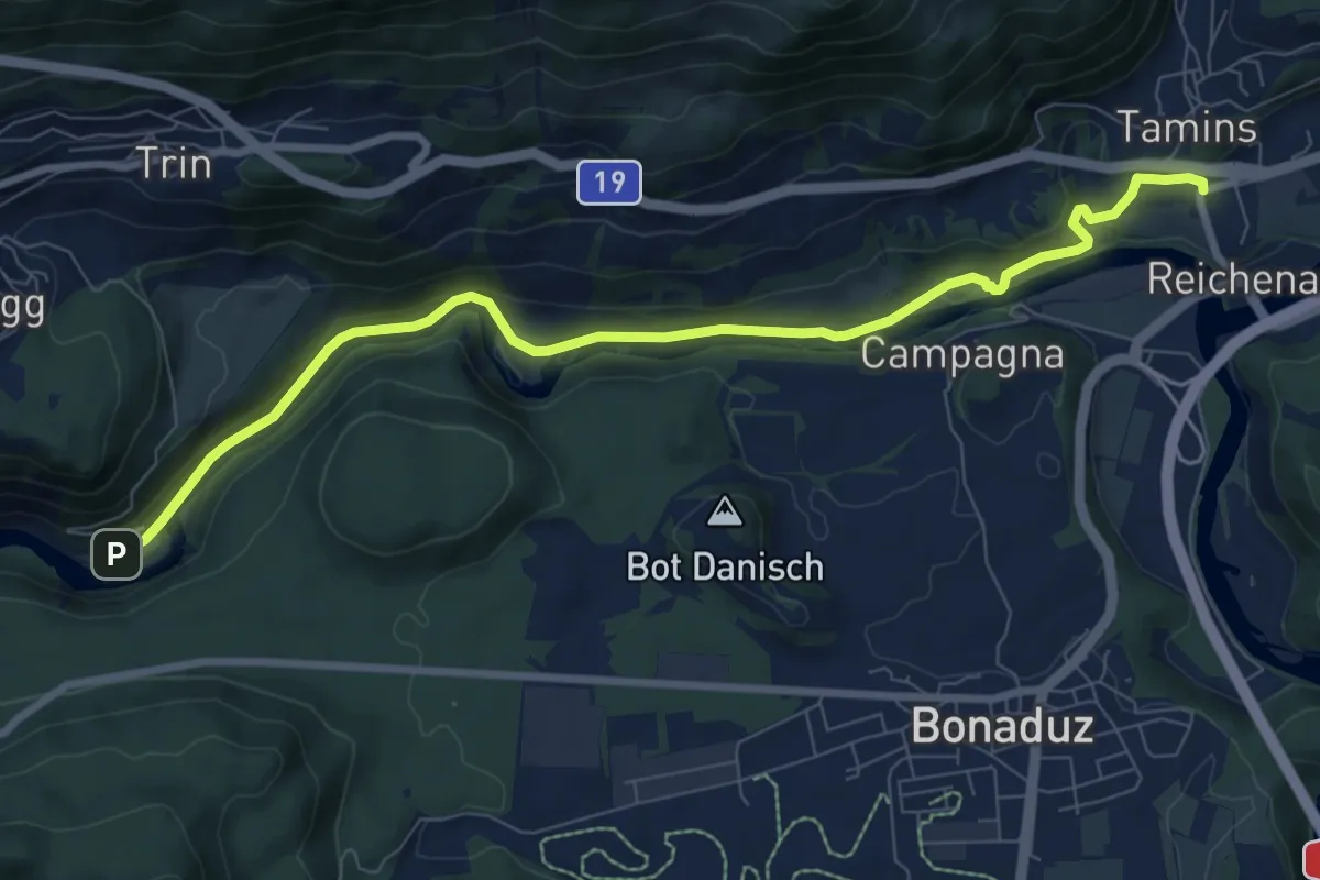
Medium · Trail
Tamins Post - Trin
8.9 km · ↑ 175 m · 2 h 29 min · 13 km away
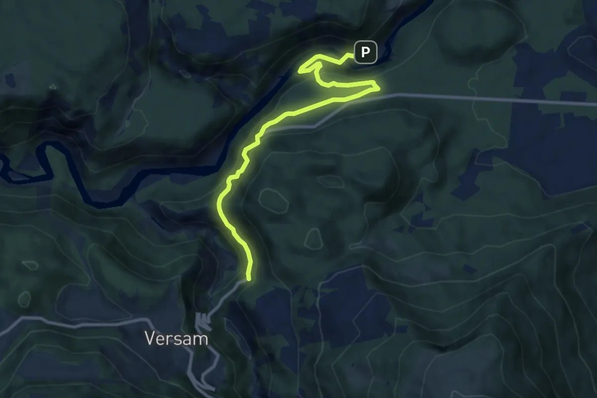
Medium · Trail
Versam Trin Stazion
9.2 km · ↑ 575 m · 3 h 25 min · 13 km away
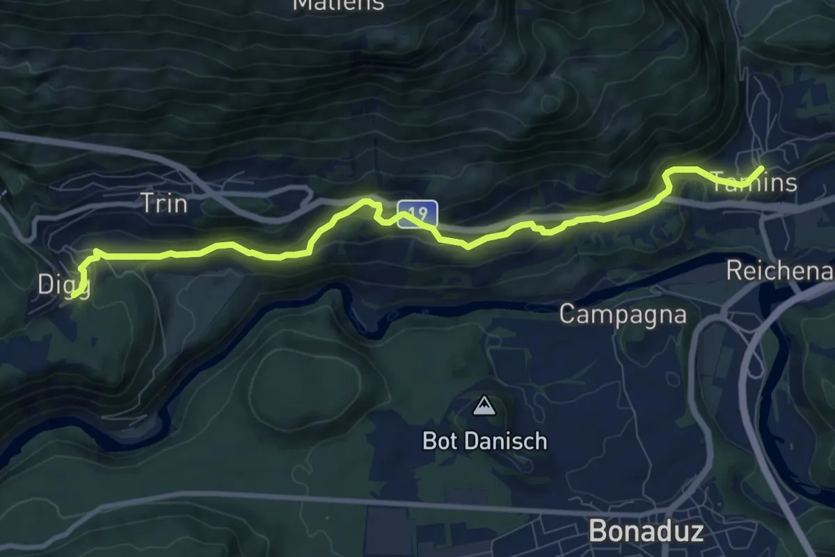
Easy · Pilgrim path
Via son Giachen
4.8 km · ↑ 134 m · 1 h 34 min · 13 km away
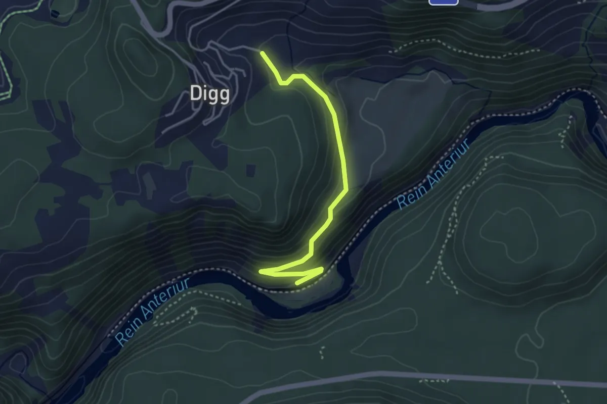
Easy · Trail
Trin Station - Trin
3.5 km · ↑ 151 m · 1 h 9 min · 13 km away
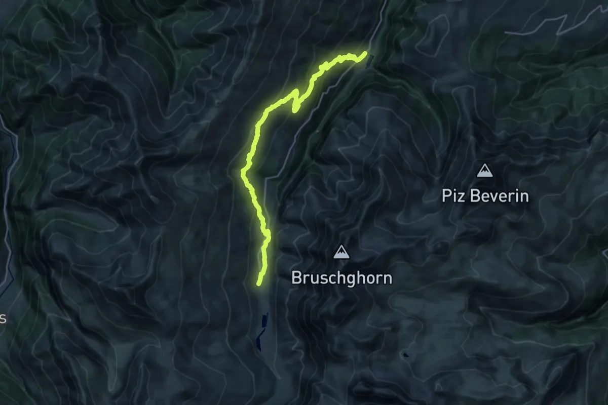
Demanding · Cabin
Walserweg - Etappe 4
21.7 km · ↑ 1134 m · 7 h 35 min · 13 km away
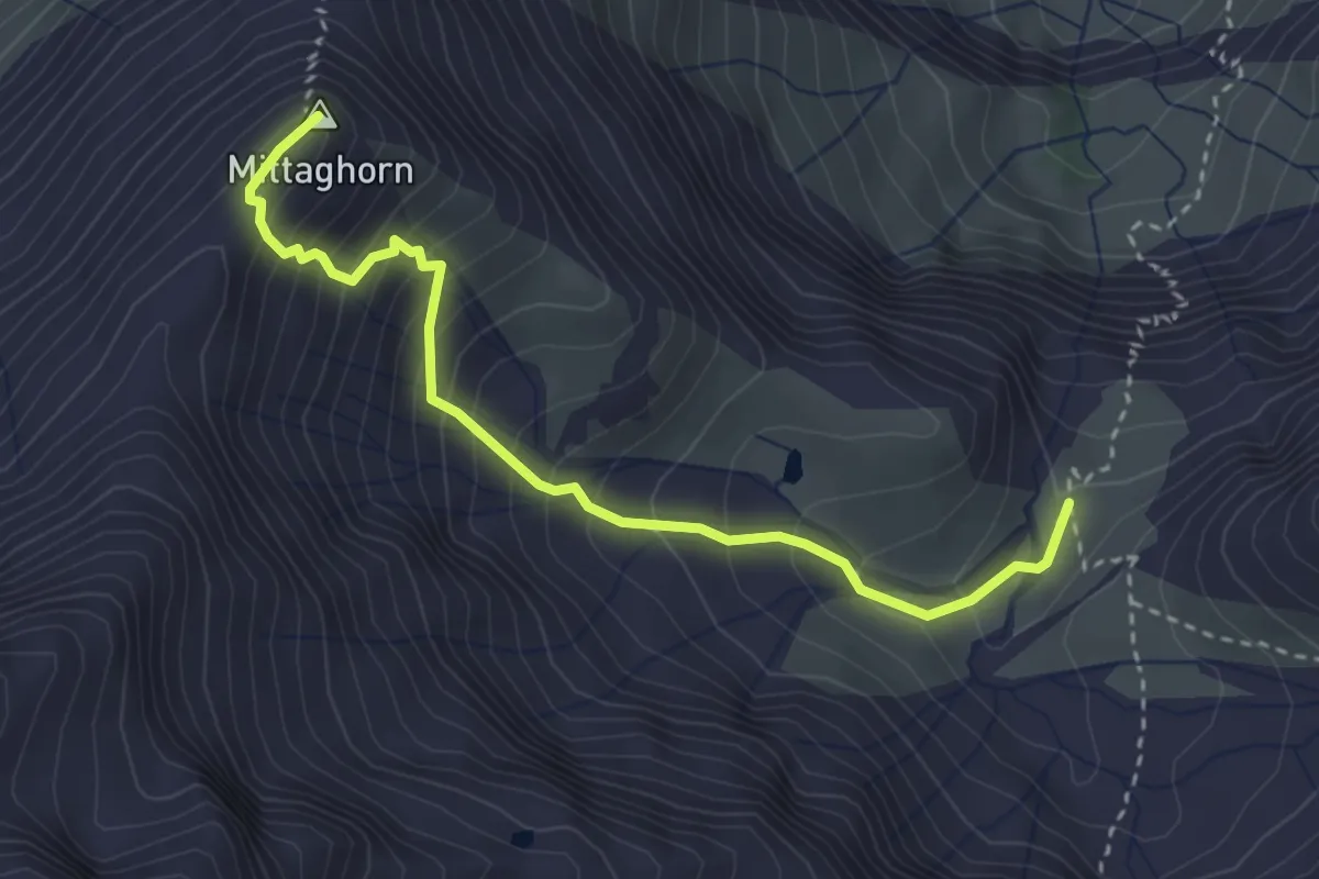
Expert · Summit
Martinsmad Hütte SAC – Mittaghorn
3.3 km · ↑ 430 m · 1 h 43 min · 13 km away
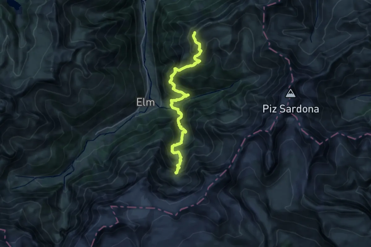
Expert · Summit
Via Glaralpina
21.2 km · ↑ 2278 m · 9 h 56 min · 13 km away
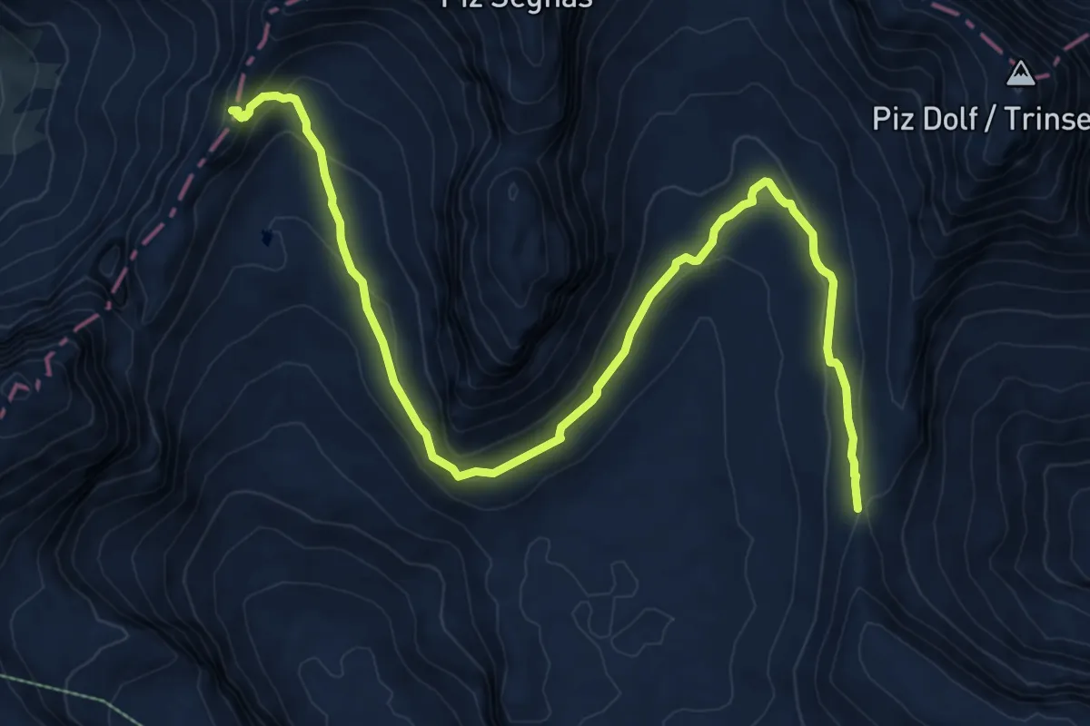
Demanding · Cabin
Pass dil Segnas – Fuorcla Raschaglius
10.9 km · ↑ 374 m · 3 h 23 min · 13 km away
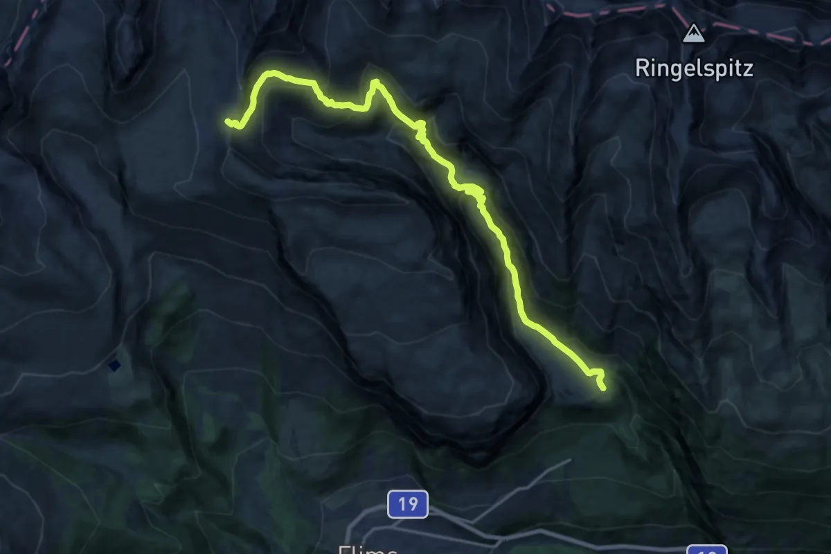
Demanding · Cabin
Bargis – Fuorcla Raschaglius
19.4 km · ↑ 1113 m · 7 h · 13 km away
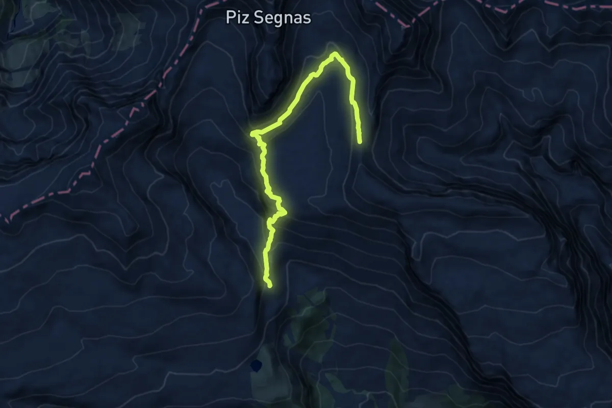
Medium · Cabin
Fuorcla Raschaglius – Segneshütte
12.9 km · ↑ 565 m · 4 h 16 min · 13 km away
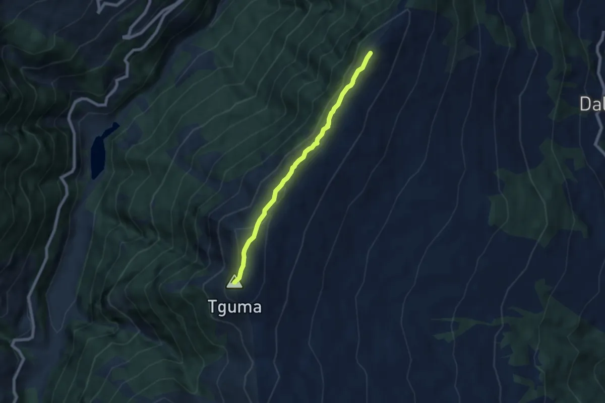
Easy · Summit
Bischolapass-Präzer Höhi
5.6 km · ↑ 203 m · 1 h 45 min · 14 km away
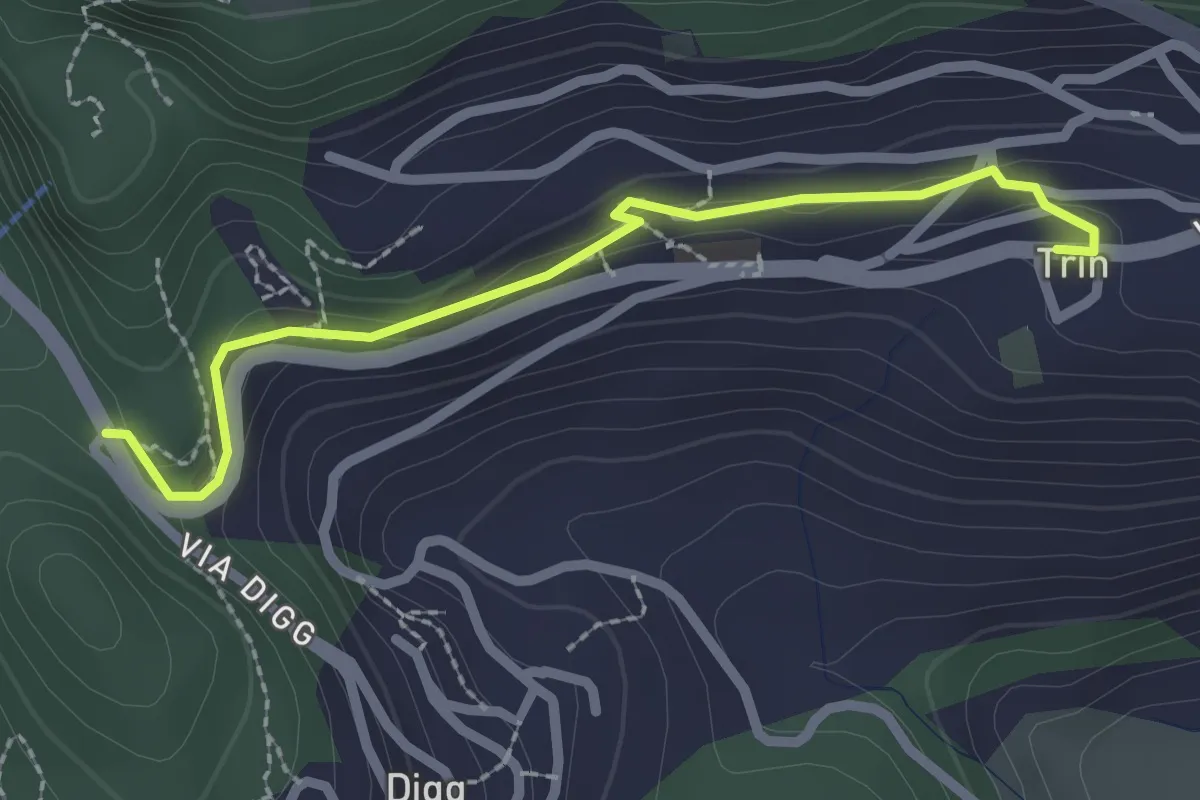
Easy · Trail
Trin - Porclis
2.4 km · ↑ 46 m · 39 min · 14 km away
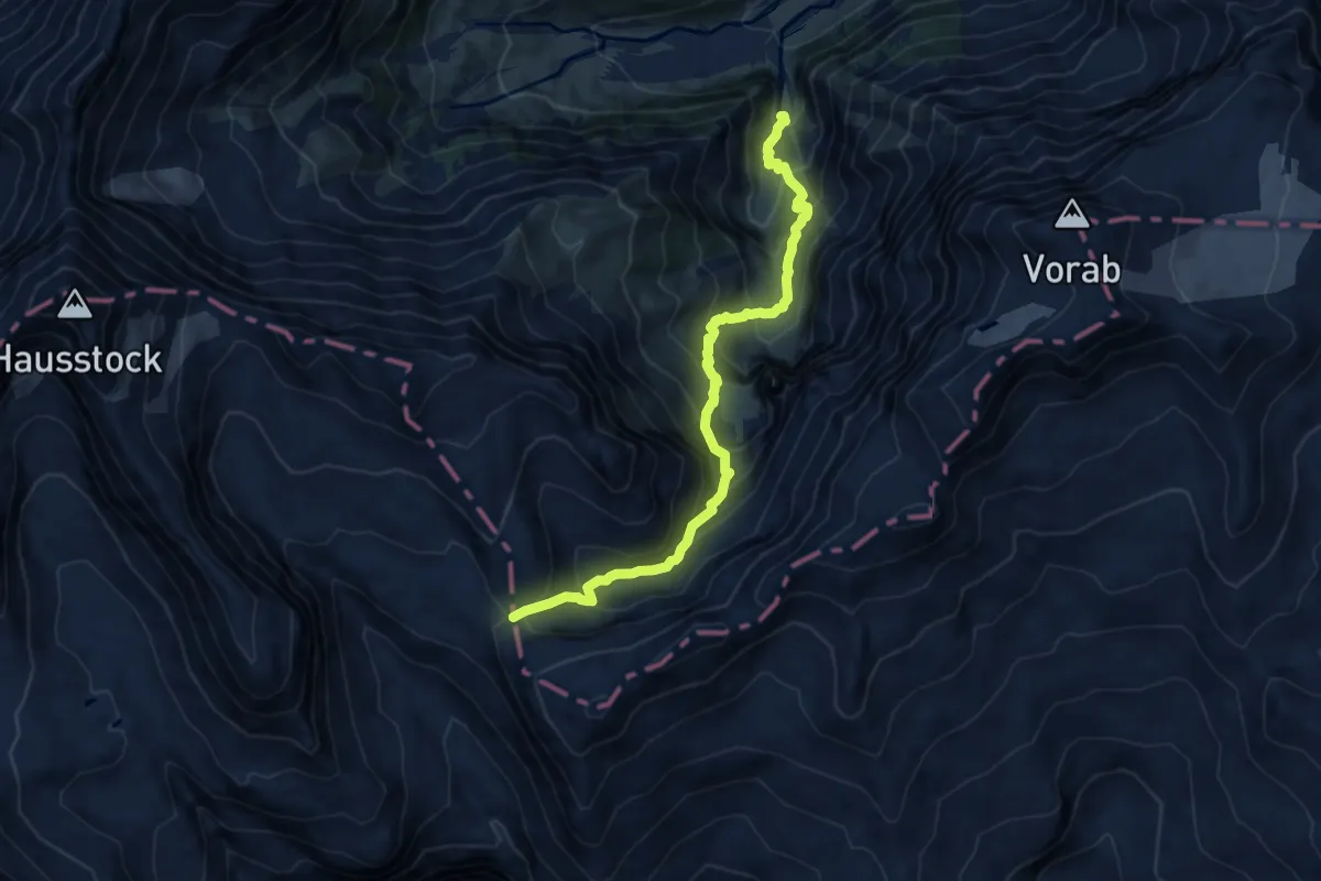
Demanding · Cabin
Jetzloch – Panixerpass
10.9 km · ↑ 1089 m · 4 h 55 min · 14 km away
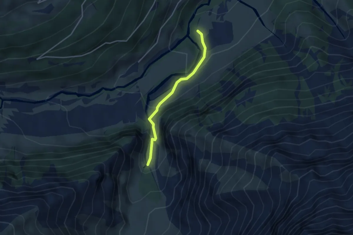
Medium · Trail
Unter Jetz – Jetzloch
2.7 km · ↑ 211 m · 1 h 5 min · 14 km away
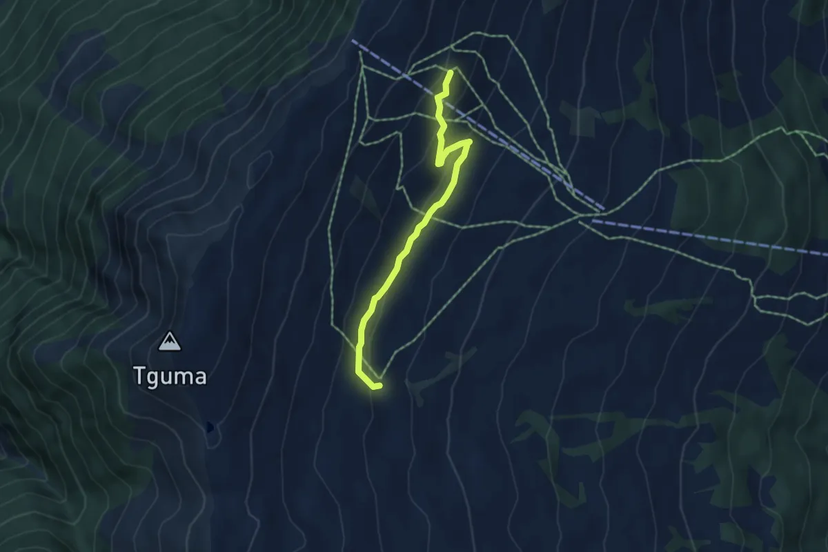
Easy · Trail
Sarner Alp-Parsiras
4.4 km · ↑ 169 m · 1 h 24 min · 14 km away
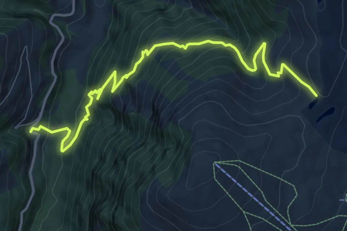
Demanding · Trail
Bischolapass-Rüti(Safien)
10.0 km · ↑ 955 m · 4 h 25 min · 14 km away
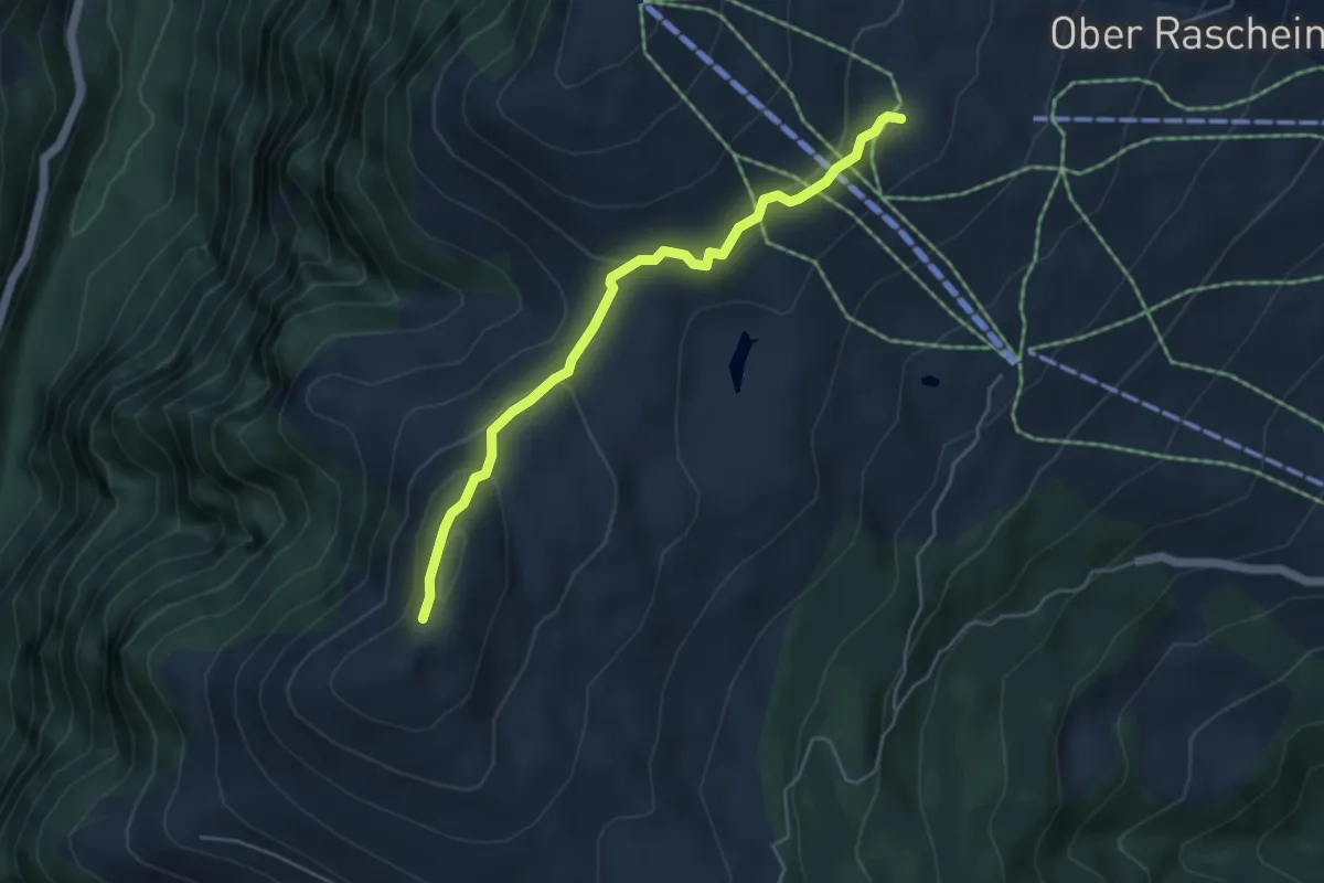
Medium · Trail
Glaser Grat-Lüschalp
4.6 km · ↑ 204 m · 1 h 32 min · 14 km away
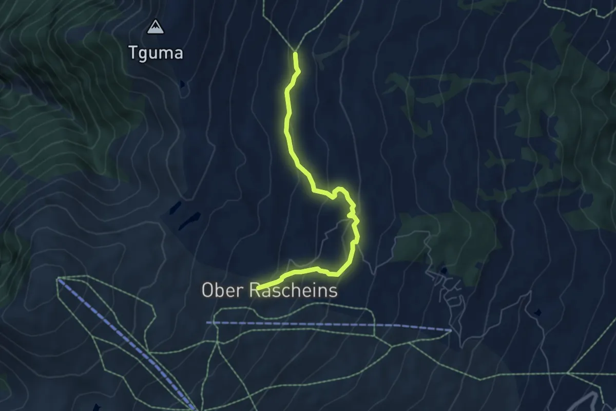
Easy · Trail
Parsiras-Ober Rascheins
5.7 km · ↑ 284 m · 1 h 58 min · 14 km away
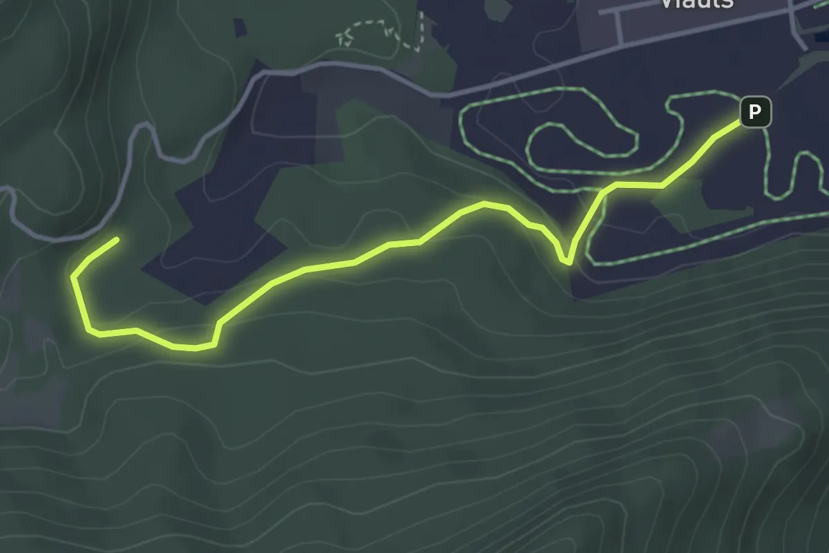
Easy · Trail
Lag-Sigl Ault
3.7 km · ↑ 149 m · 1 h 12 min · 14 km away
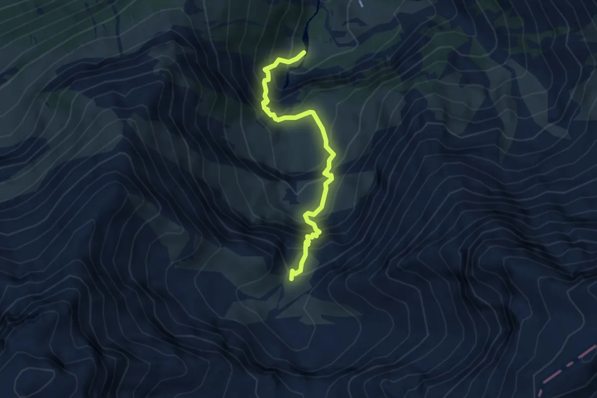
Demanding · Cabin
Bachplanggen – Martinsmad Hütte SAC
4.2 km · ↑ 550 m · 2 h 11 min · 15 km away
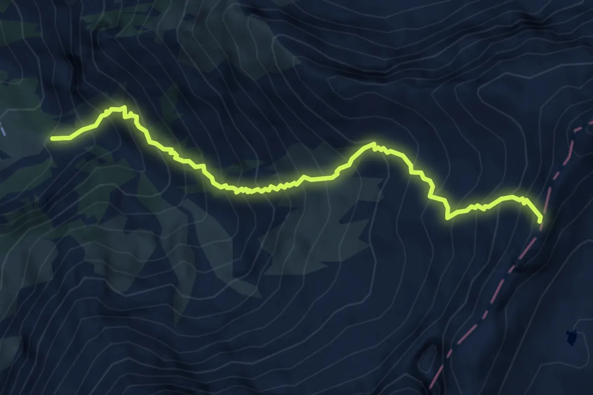
Demanding · Cabin
Stafel – Pass dil Segnas
6.0 km · ↑ 1049 m · 3 h 42 min · 15 km away
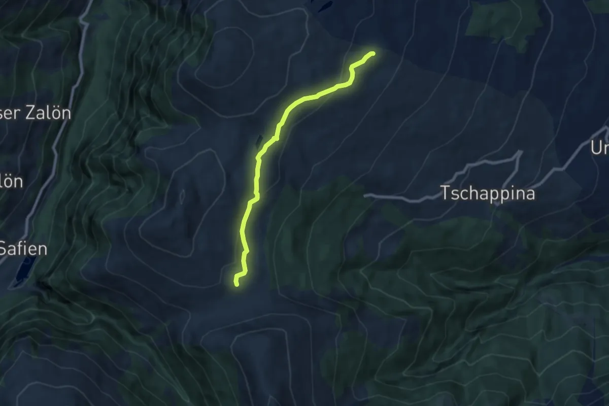
Medium · Trail
Ober Rascheins-Glaspass
6.8 km · ↑ 225 m · 2 h 6 min · 15 km away
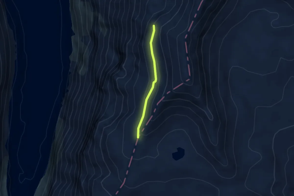
Medium · Cabin
Punkt 2729 – Kistenpass
2.4 km · ↑ 85 m · 45 min · 15 km away
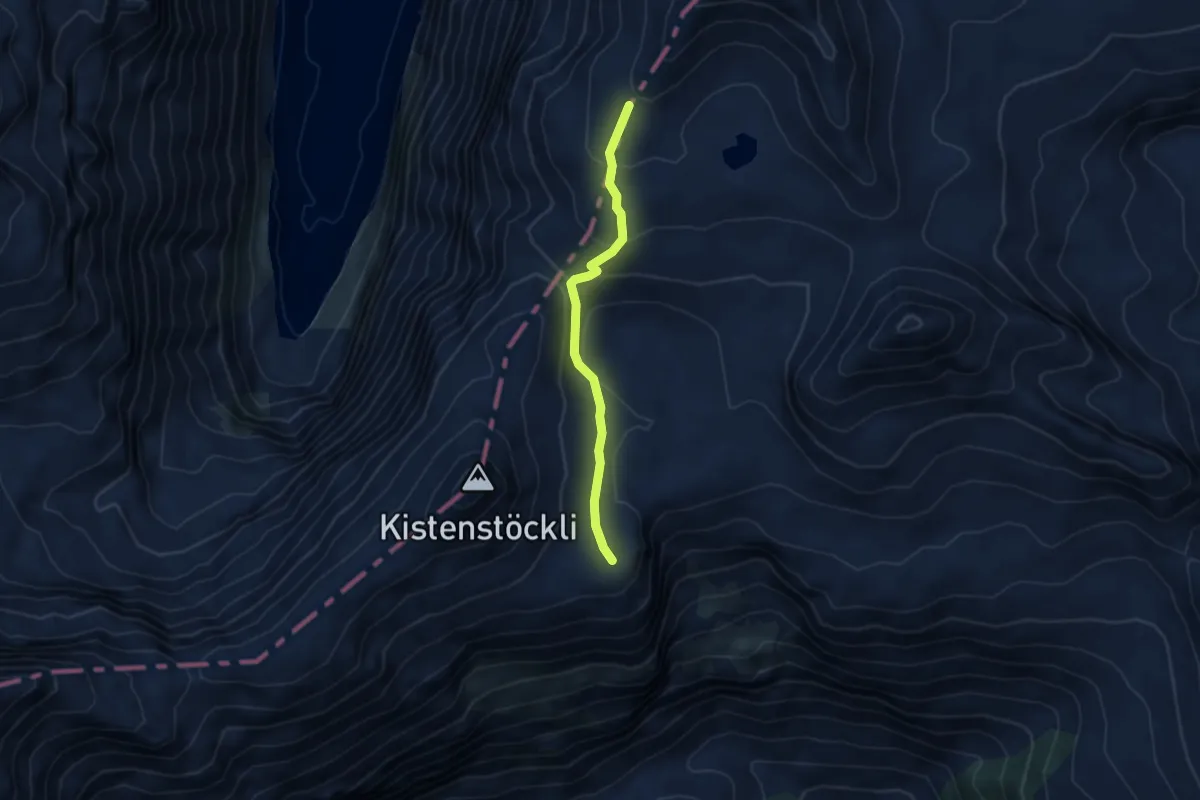
Medium · Cabin
Bifertenhütte AAC – Kistenpass
3.8 km · ↑ 220 m · 1 h 23 min · 15 km away
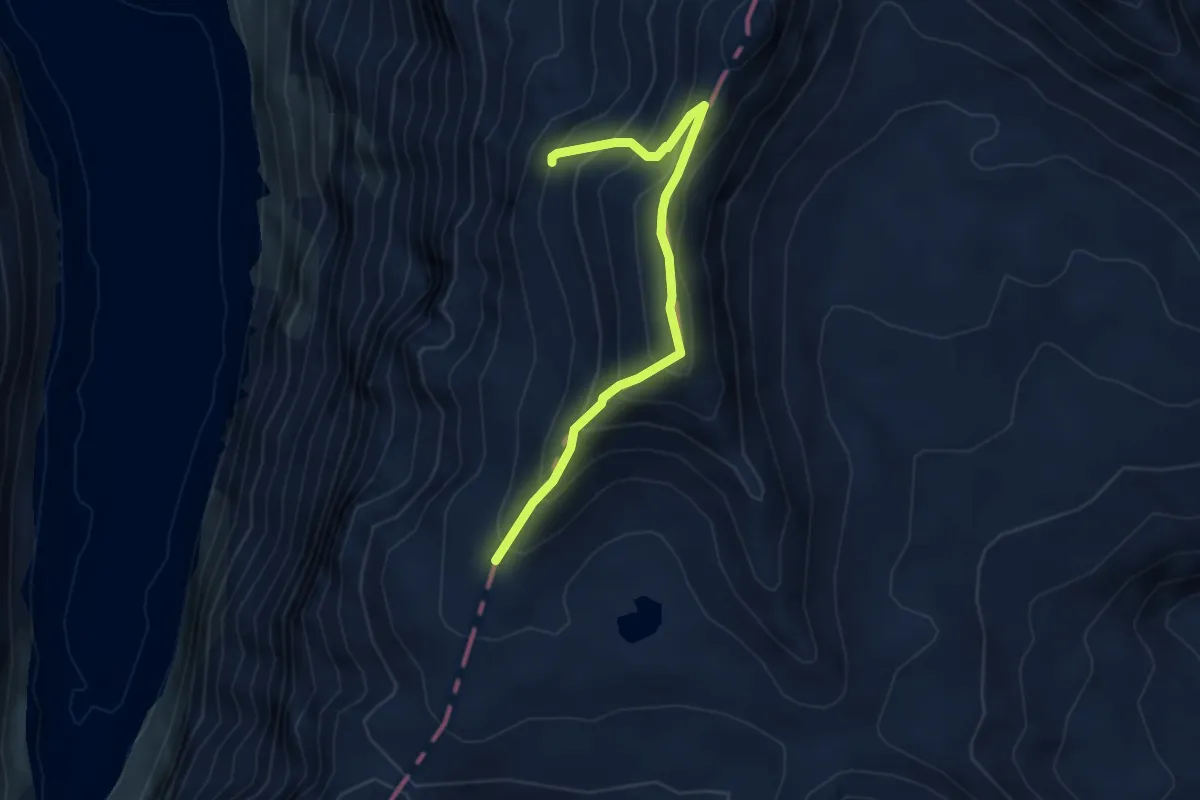
Expert · Cabin
Punkt 2729 – Kistenpass
4.2 km · ↑ 436 m · 1 h 57 min · 15 km away
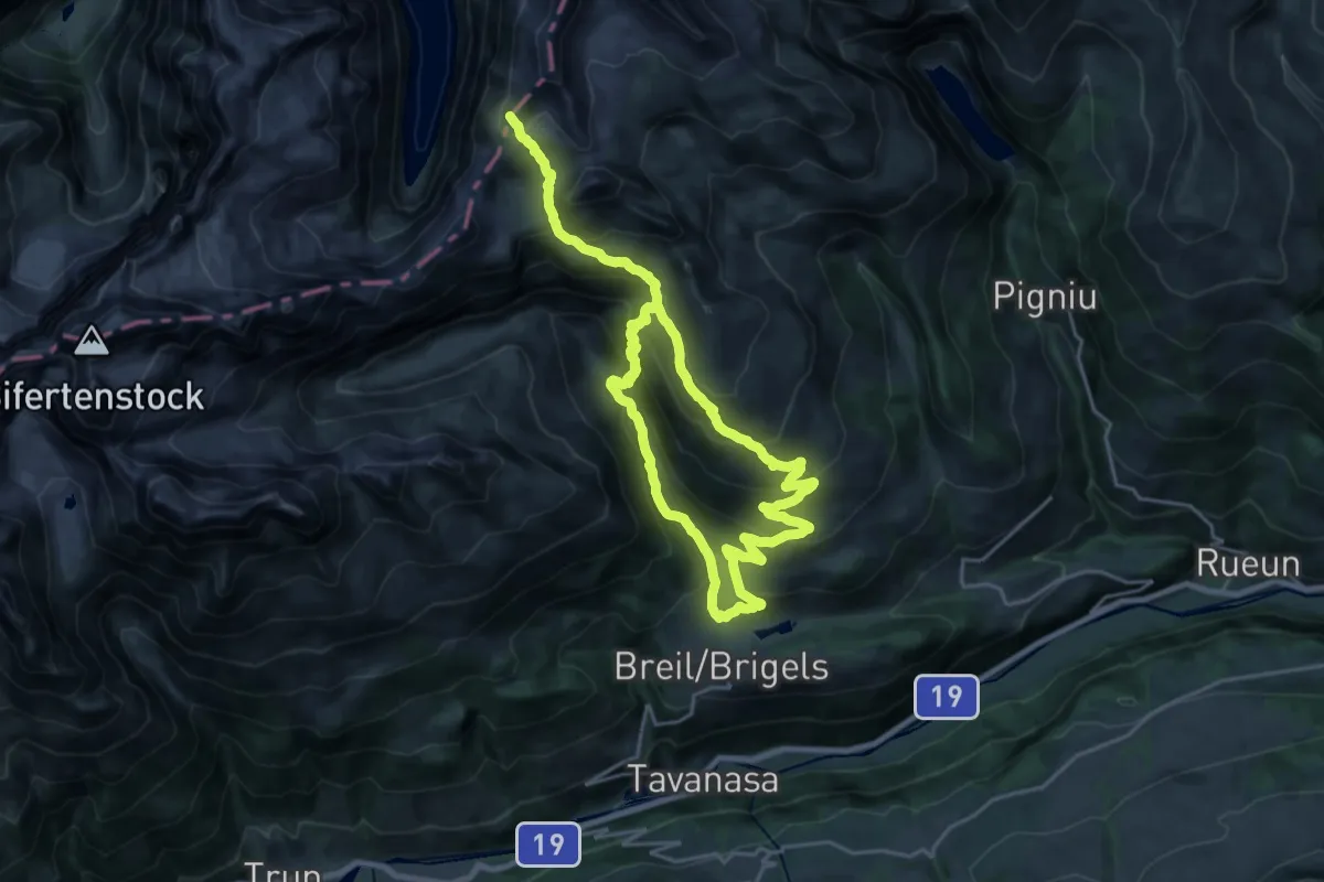
Demanding · Trail
Kistenpass
17.6 km · ↑ 941 m · 6 h 40 min · 15 km away
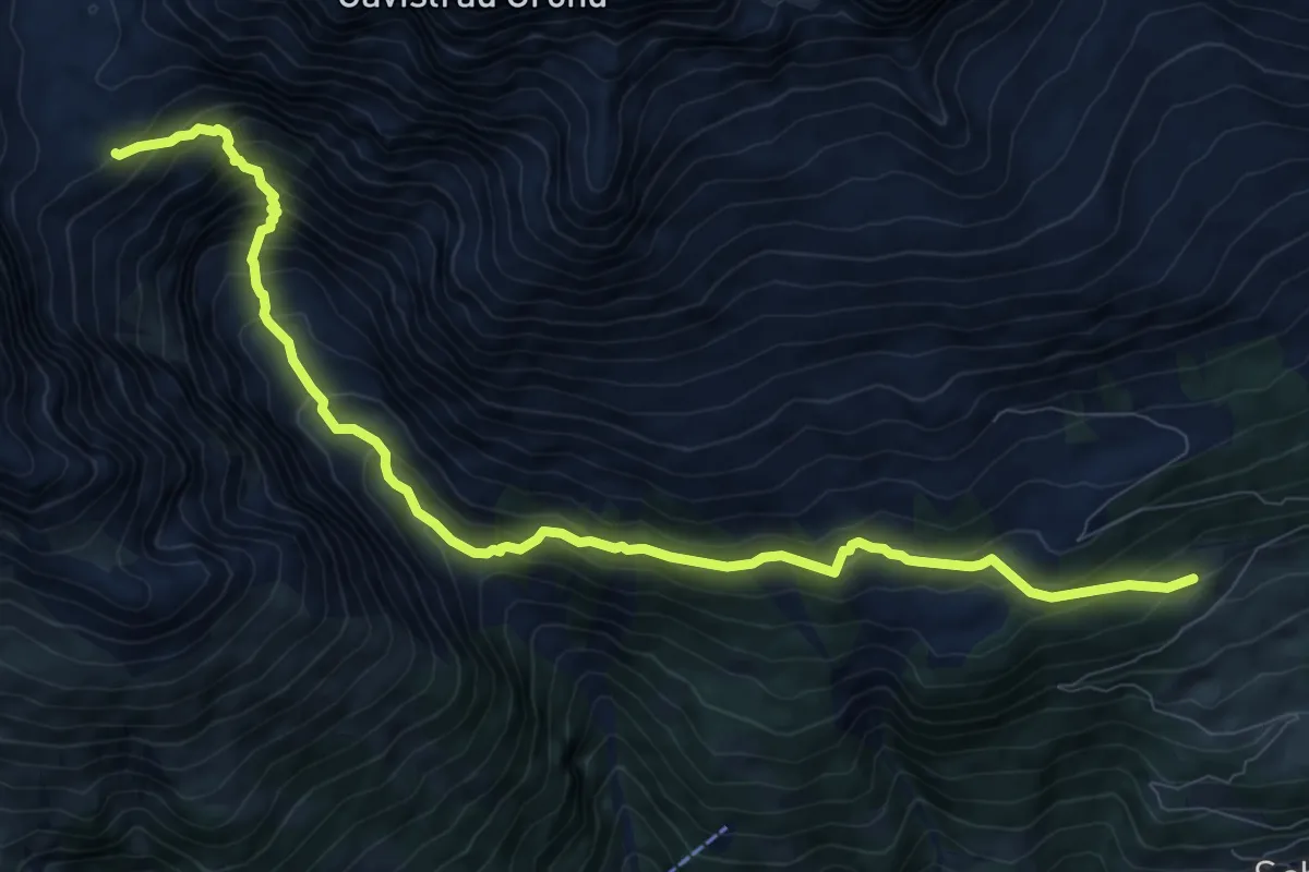
Demanding · Cabin
Alp da Schlans – Cna. da Punteglias CAS
10.9 km · ↑ 1018 m · 4 h 47 min · 15 km away
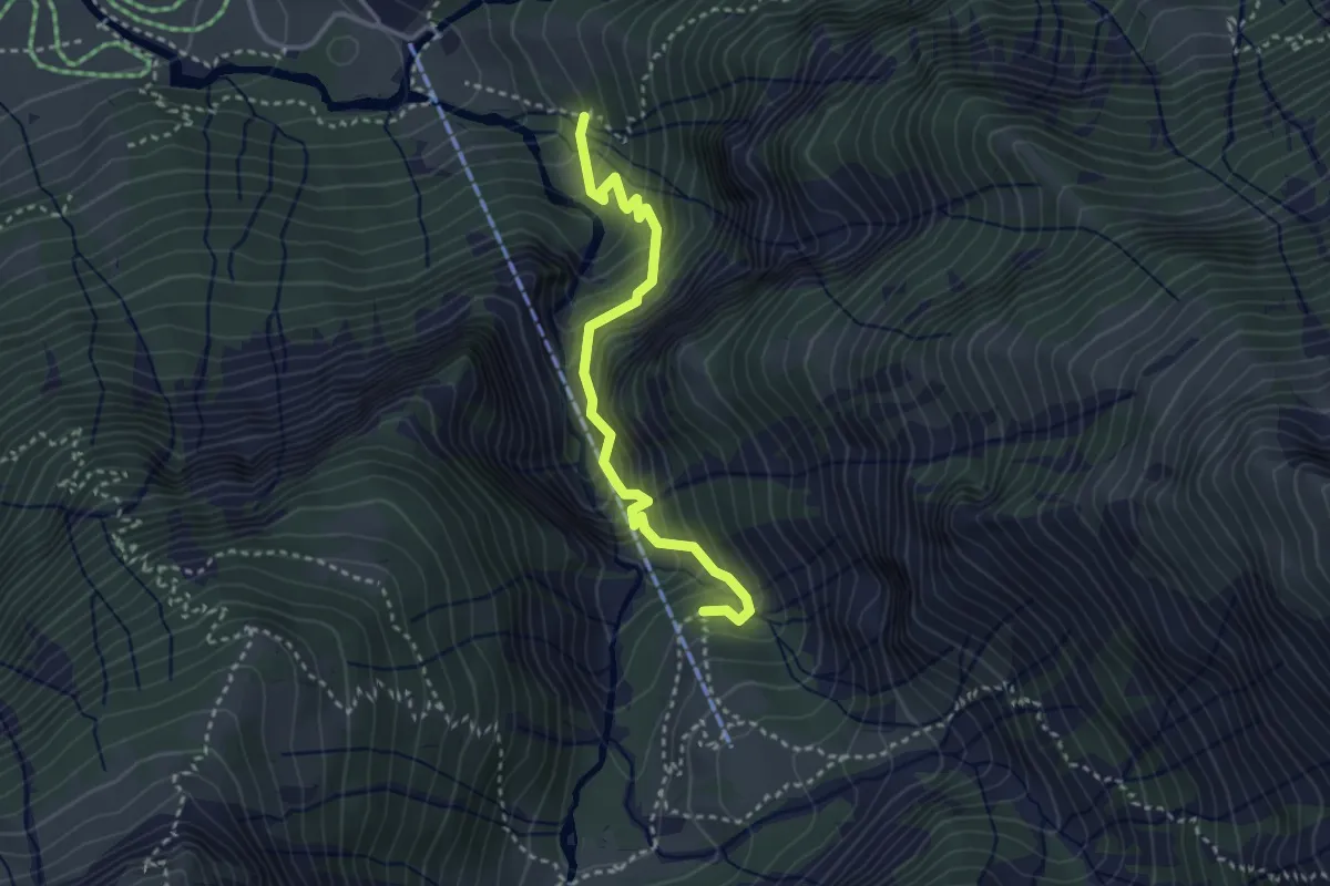
Medium · Trail
Lauiboden – Schwammegg
3.1 km · ↑ 443 m · 1 h 42 min · 15 km away