Trails near Ittigen
486 hikes starting within 15 km, nearest first.
Nearest first, page 6 of 11
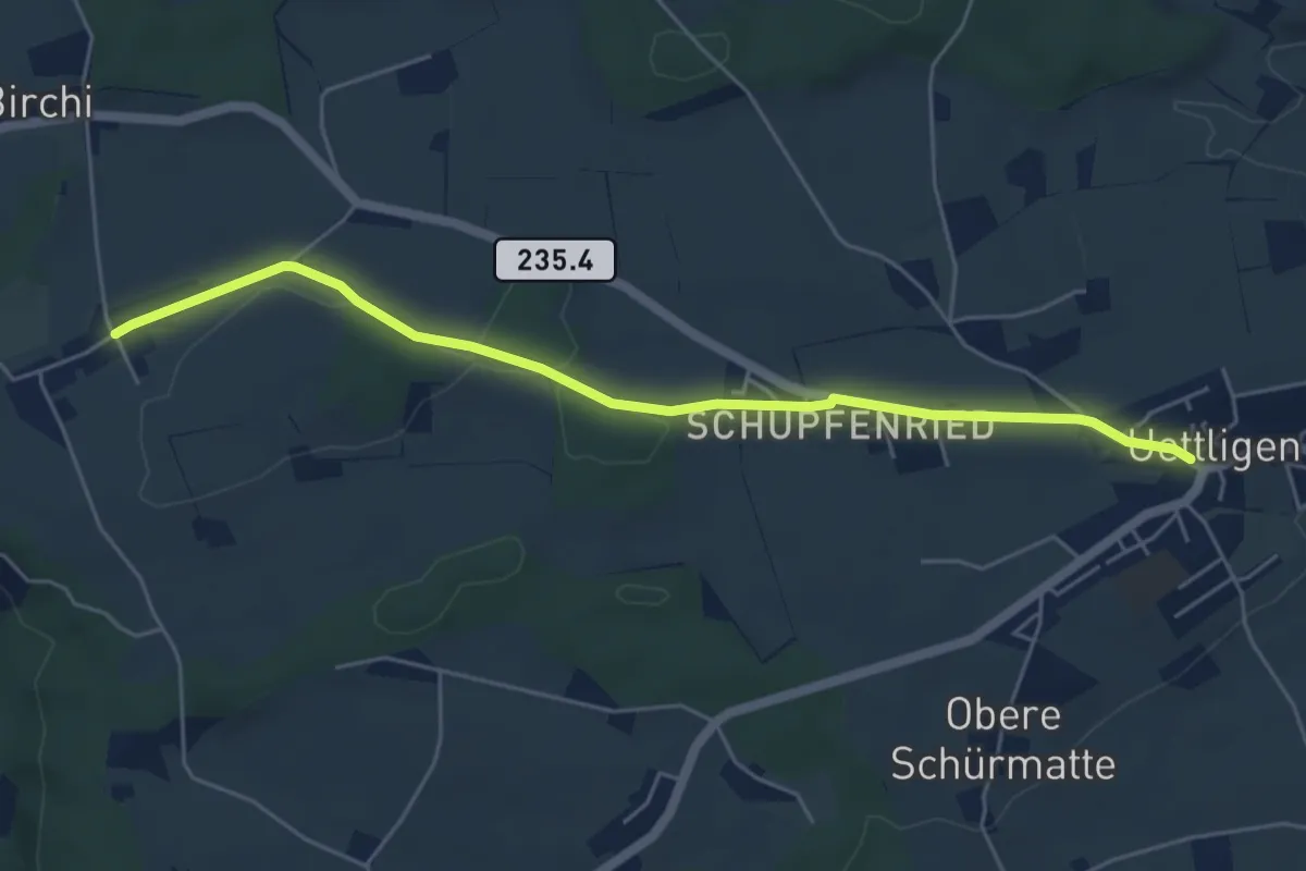
Easy · Trail
Uettligen/Linde - Möriswil
5.5 km · ↑ 46 m · 1 h 24 min · 10 km away
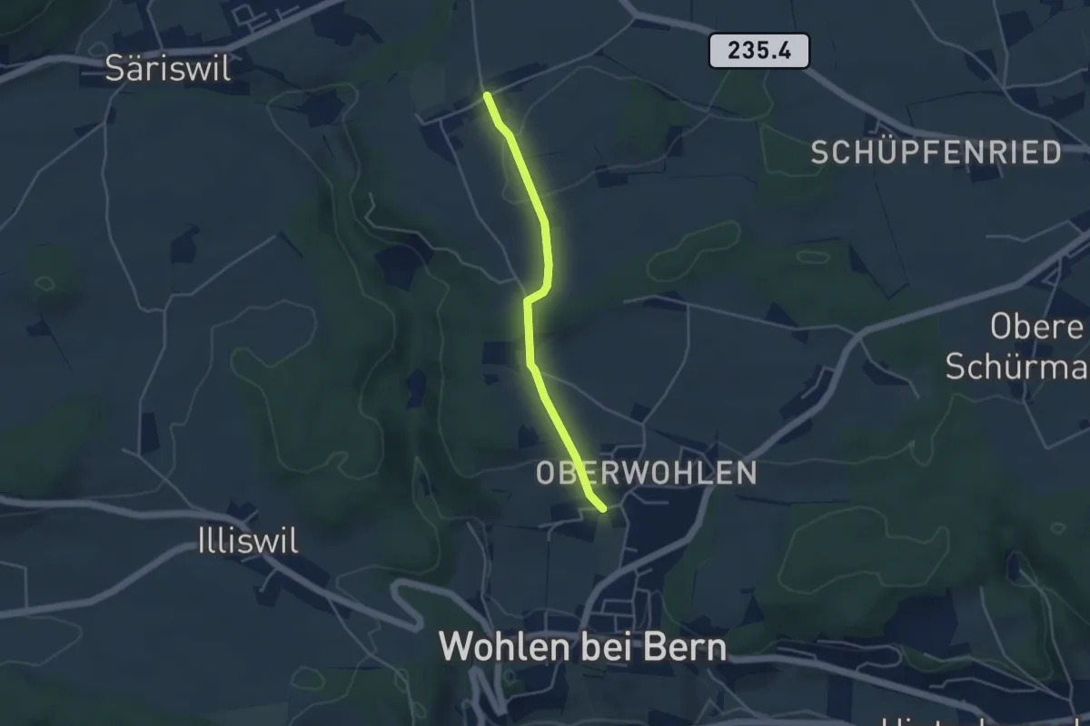
Easy · Trail
Oberwohlen – Möriswil
3.6 km · ↑ 84 m · 1 h 1 min · 10 km away
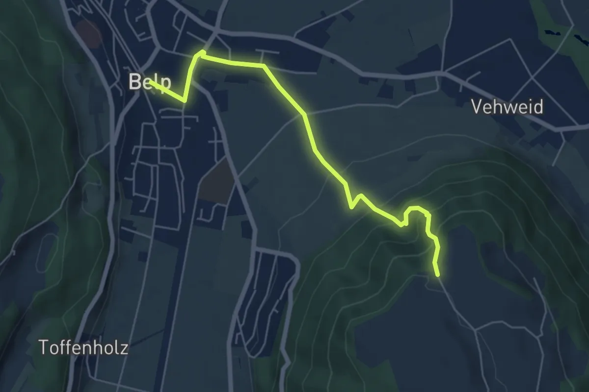
Easy · Trail
Belp – Hoburg
5.3 km · ↑ 310 m · 1 h 55 min · 10 km away
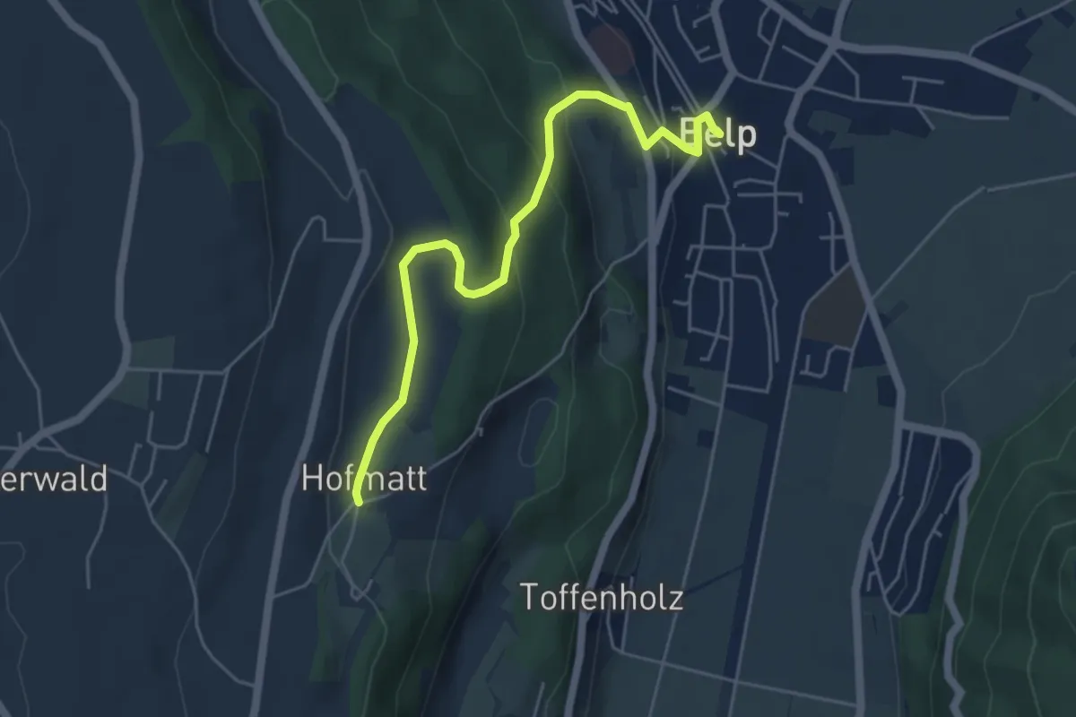
Easy · Trail
Hofmatt – Belp
5.1 km · ↑ 246 m · 1 h 44 min · 10 km away
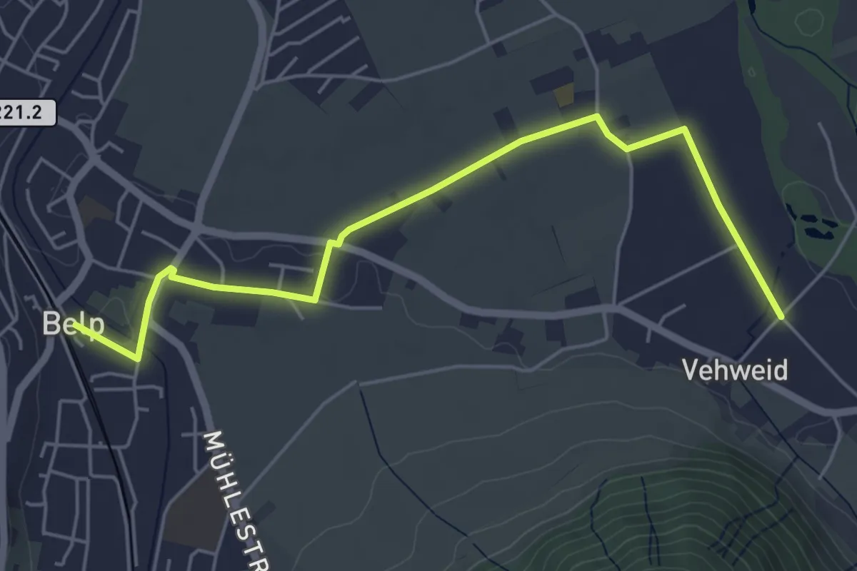
Easy · Trail
Belp – Vehweid
5.7 km · ↑ 9 m · 1 h 21 min · 10 km away
Easy · Trail
Hardwald – Schüpfen / Station
4.0 km · ↑ 45 m · 1 h 3 min · 10 km away
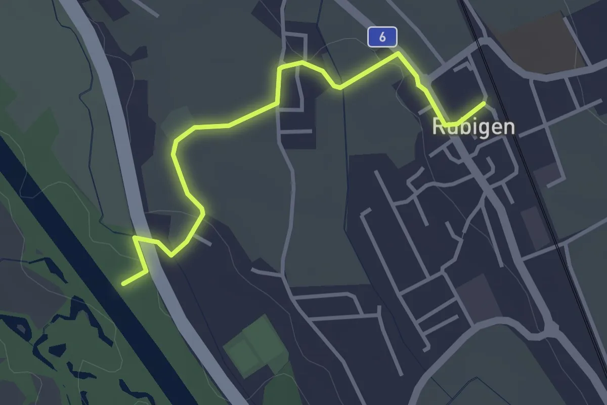
Easy · Trail
Rubigen - ?
3.2 km · ↑ 28 m · 49 min · 10 km away
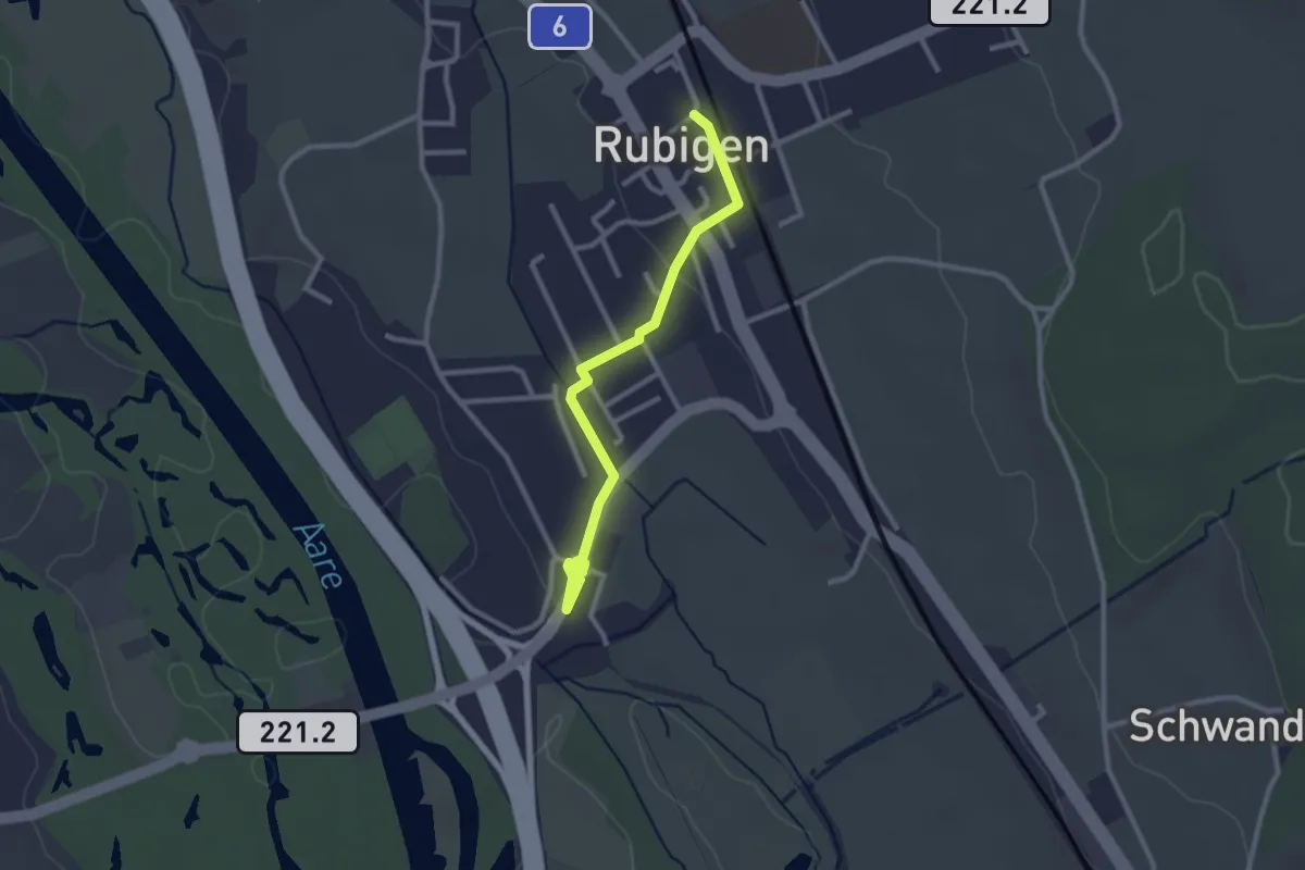
Easy · Trail
Rubigen – Hunziken
2.6 km · ↑ 24 m · 40 min · 10 km away
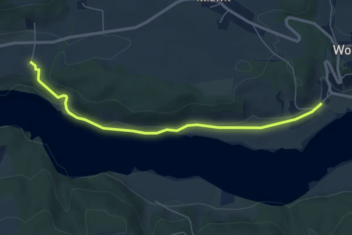
Easy · Trail
Steinisweg - Hofe
5.3 km · ↑ 112 m · 1 h 30 min · 10 km away
Easy · Trail
Schüpfen / Station – Schwanden
3.5 km · ↑ 13 m · 51 min · 10 km away
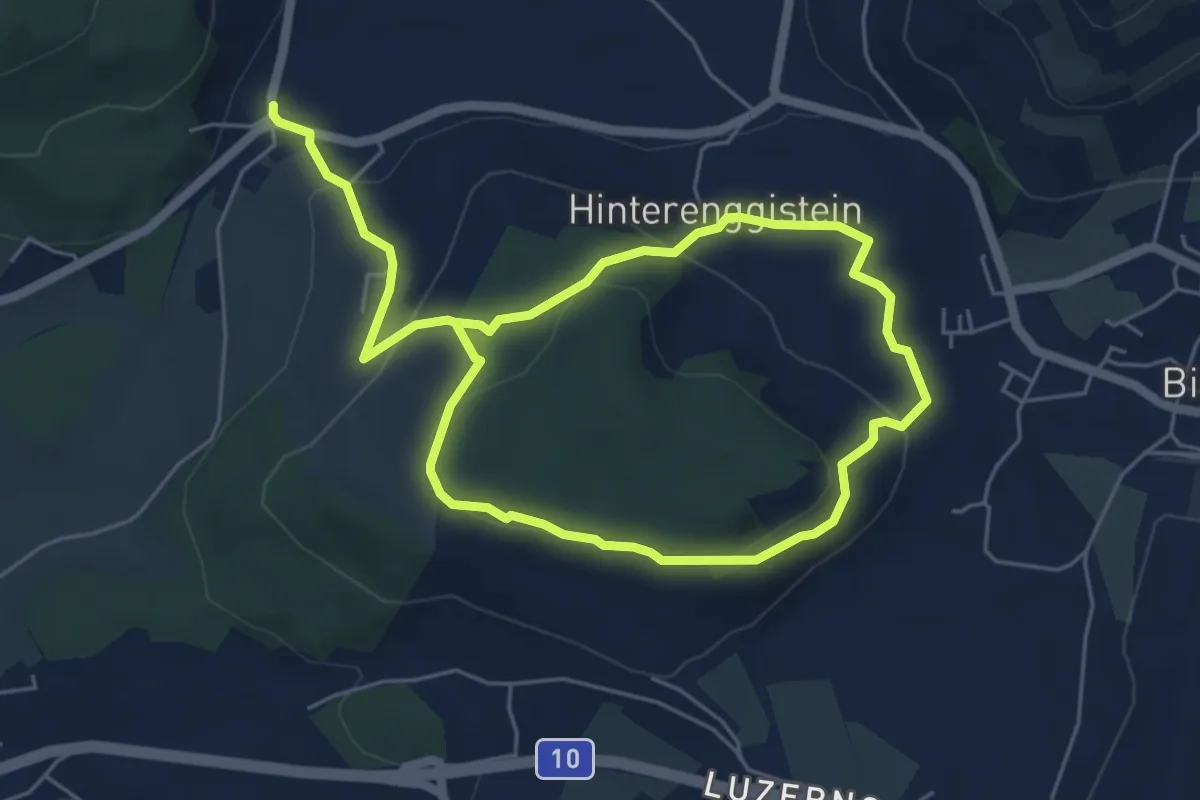
Medium · Trail
Enggistein – Biglen
9.3 km · ↑ 288 m · 2 h 49 min · 10 km away
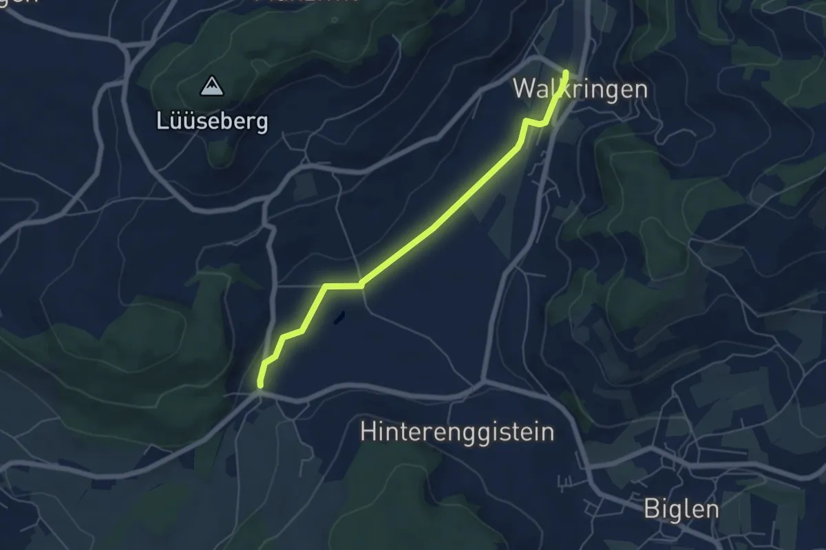
Easy · Trail
Enggistein – Walkringen
5.3 km · ↑ 23 m · 1 h 18 min · 10 km away
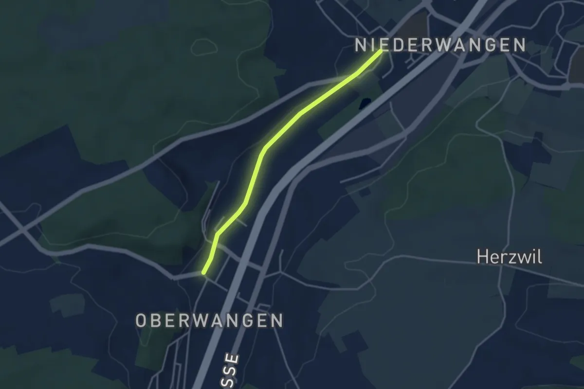
Easy · Trail
Oberwangen - Niederwangen
3.1 km · ↑ 34 m · 48 min · 10 km away
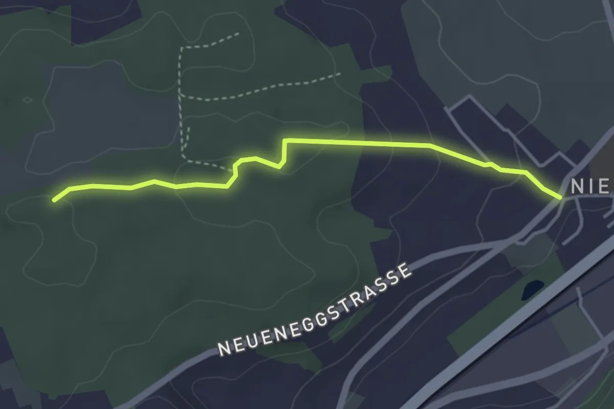
Easy · Trail
Niederwangen - Ried
3.3 km · ↑ 102 m · 1 h 1 min · 10 km away
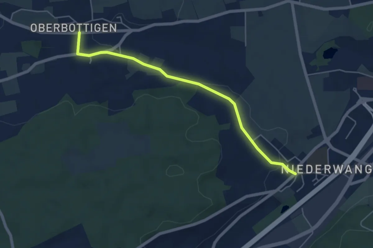
Easy · Trail
Niederwangen - Oberbottigen
4.4 km · ↑ 36 m · 1 h 8 min · 10 km away
Easy · Trail
Schüpfen / Station – Schüpfen
2.3 km · ↑ 12 m · 35 min · 10 km away
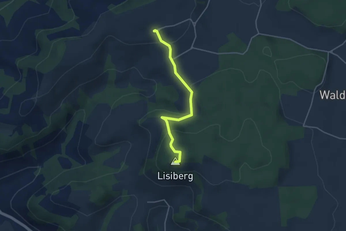
Easy · Summit
Egg - Lisiberg
3.2 km · ↑ 149 m · 1 h 4 min · 10 km away
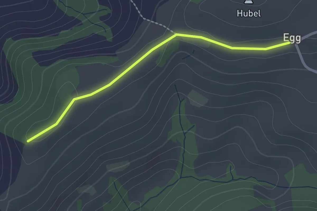
Easy · Trail
Egg – Zingghöch
2.1 km · ↑ 35 m · 34 min · 10 km away
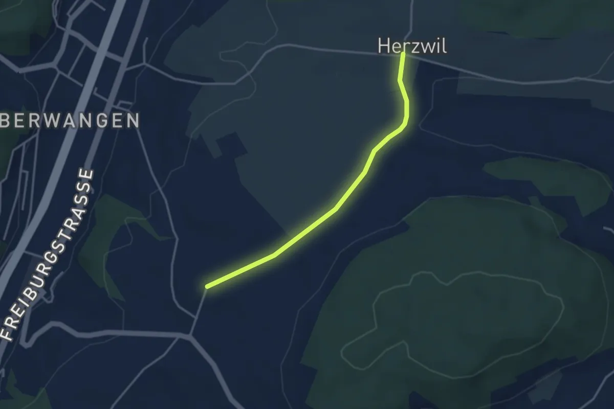
Easy · Trail
Herzwil - Liebewil/Resevoir
3.0 km · ↑ 31 m · 47 min · 10 km away
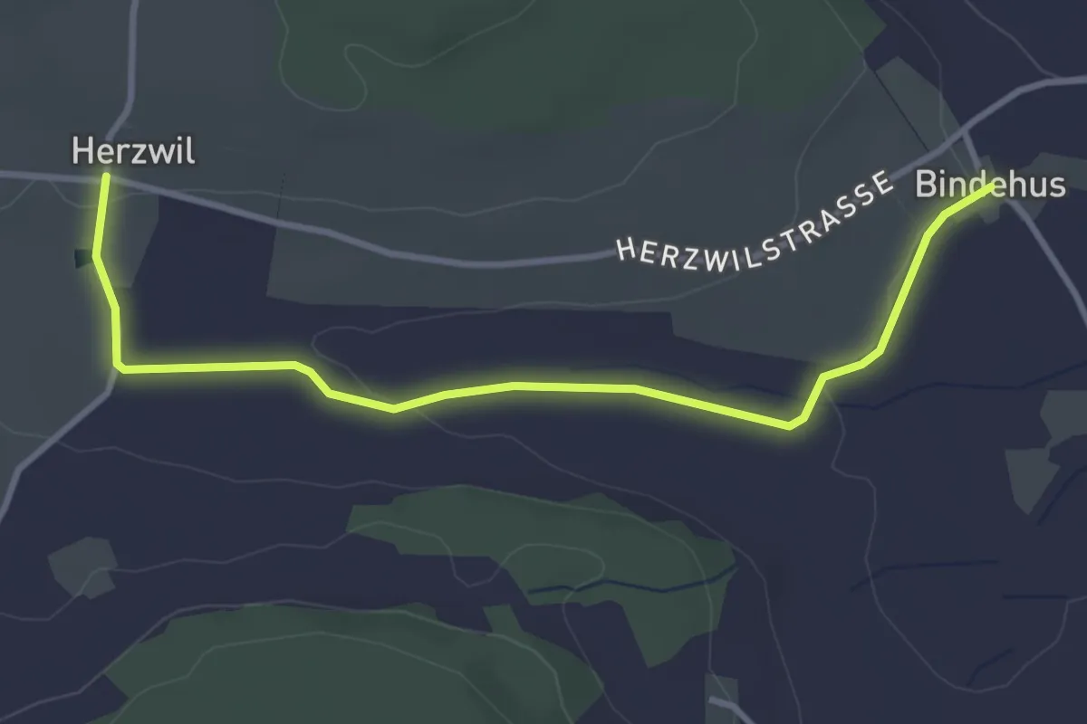
Easy · Trail
Herzwil - Bindenhaus
3.6 km · ↑ 41 m · 57 min · 10 km away
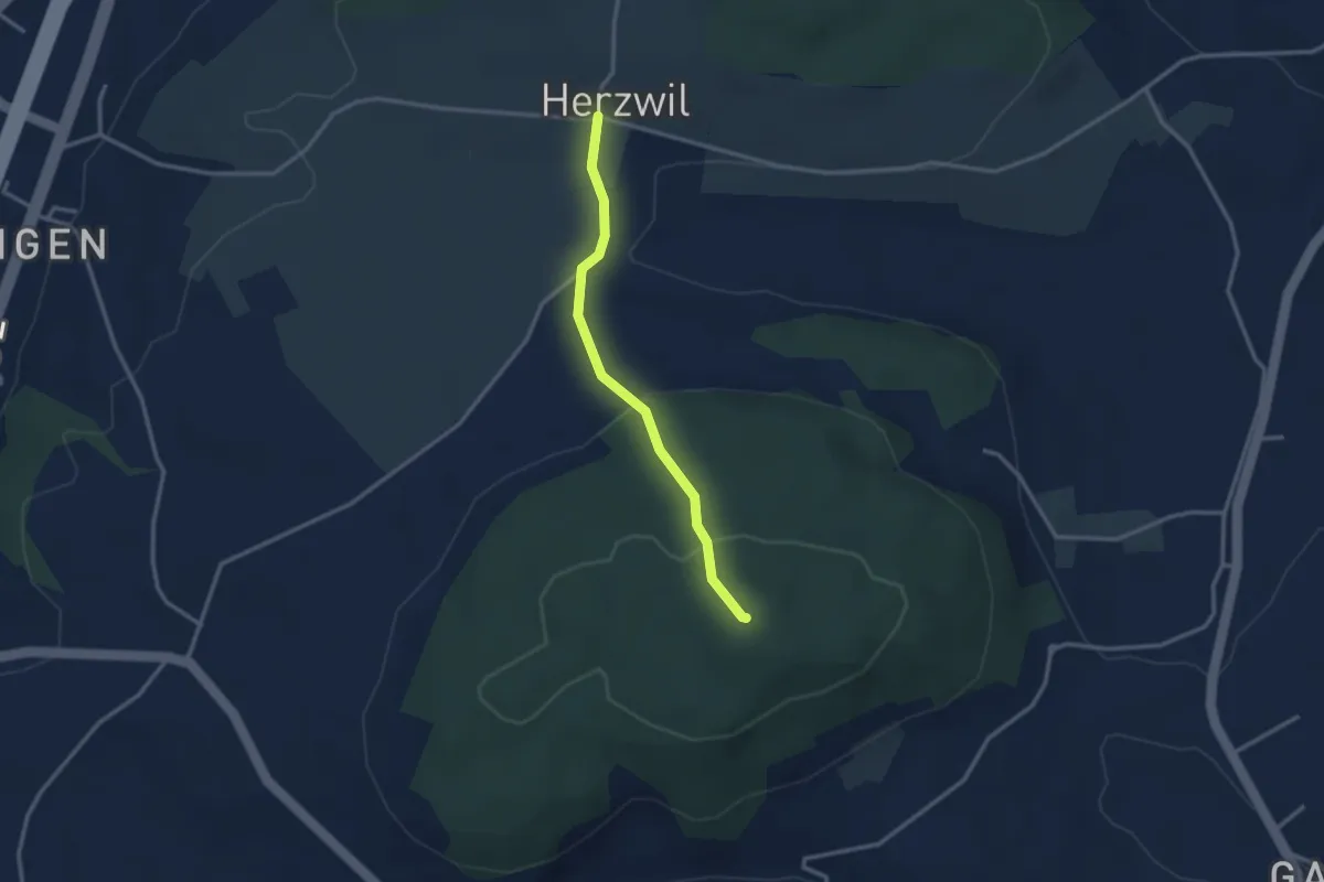
Easy · Summit
Herzwil - Mängistorfberg
2.7 km · ↑ 113 m · 52 min · 10 km away
Easy · Trail
Grafenried – Stöckgass
2.3 km · ↑ 4 m · 33 min · 11 km away
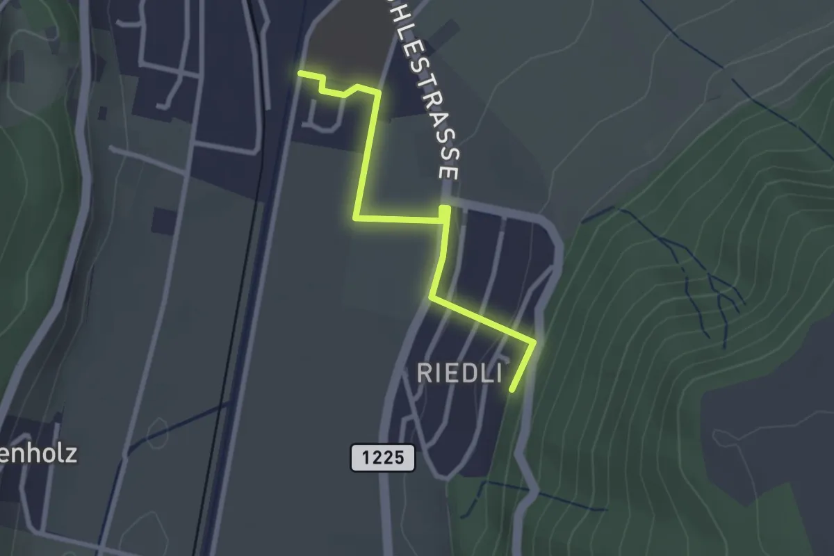
Easy · Trail
Belp – Riedli
2.4 km · ↑ 63 m · 42 min · 11 km away
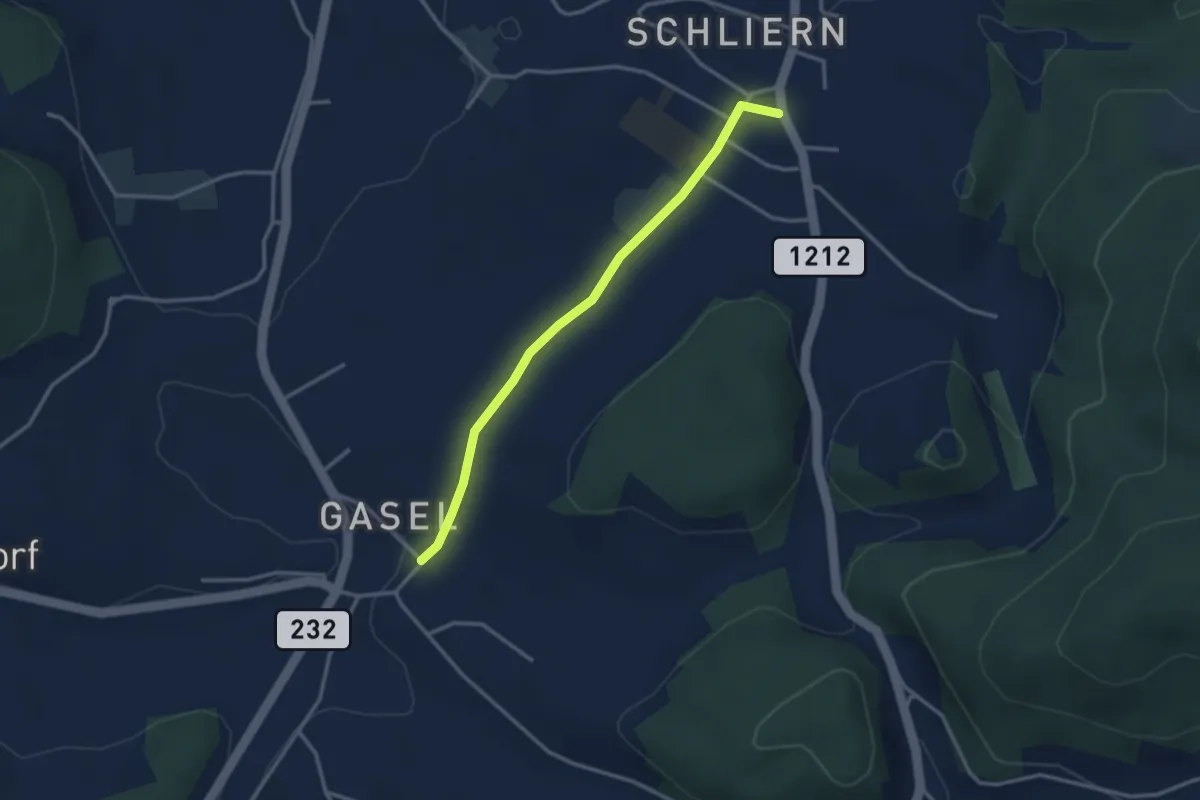
Easy · Trail
Gasel - Schliern
3.0 km · ↑ 41 m · 48 min · 11 km away
Easy · Trail
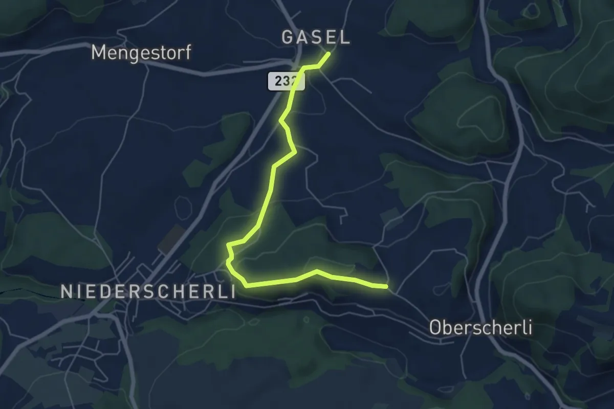
Hübeli - Gasel
5.6 km · ↑ 184 m · 1 h 44 min · 11 km away
Easy · Trail
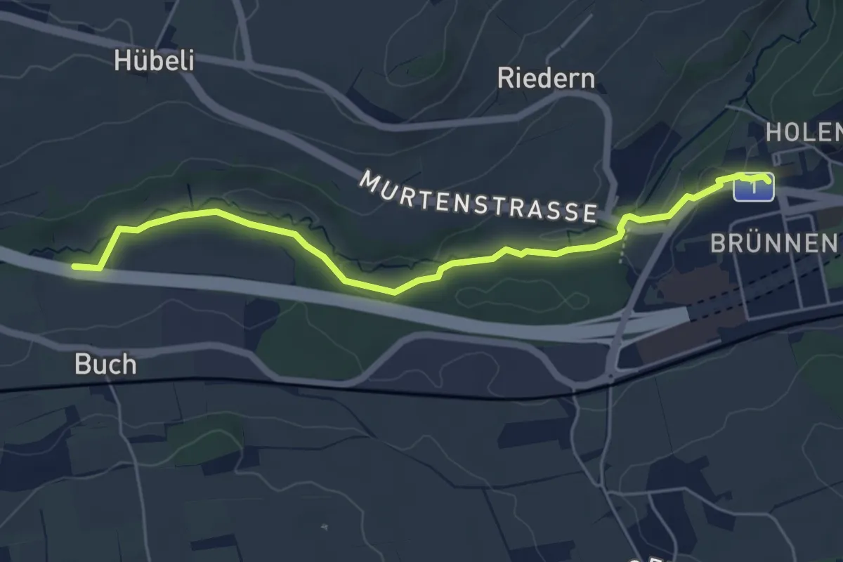
Gäbelbach – Autobahnviadukt
5.0 km · ↑ 49 m · 1 h 17 min · 11 km away
Easy · Trail
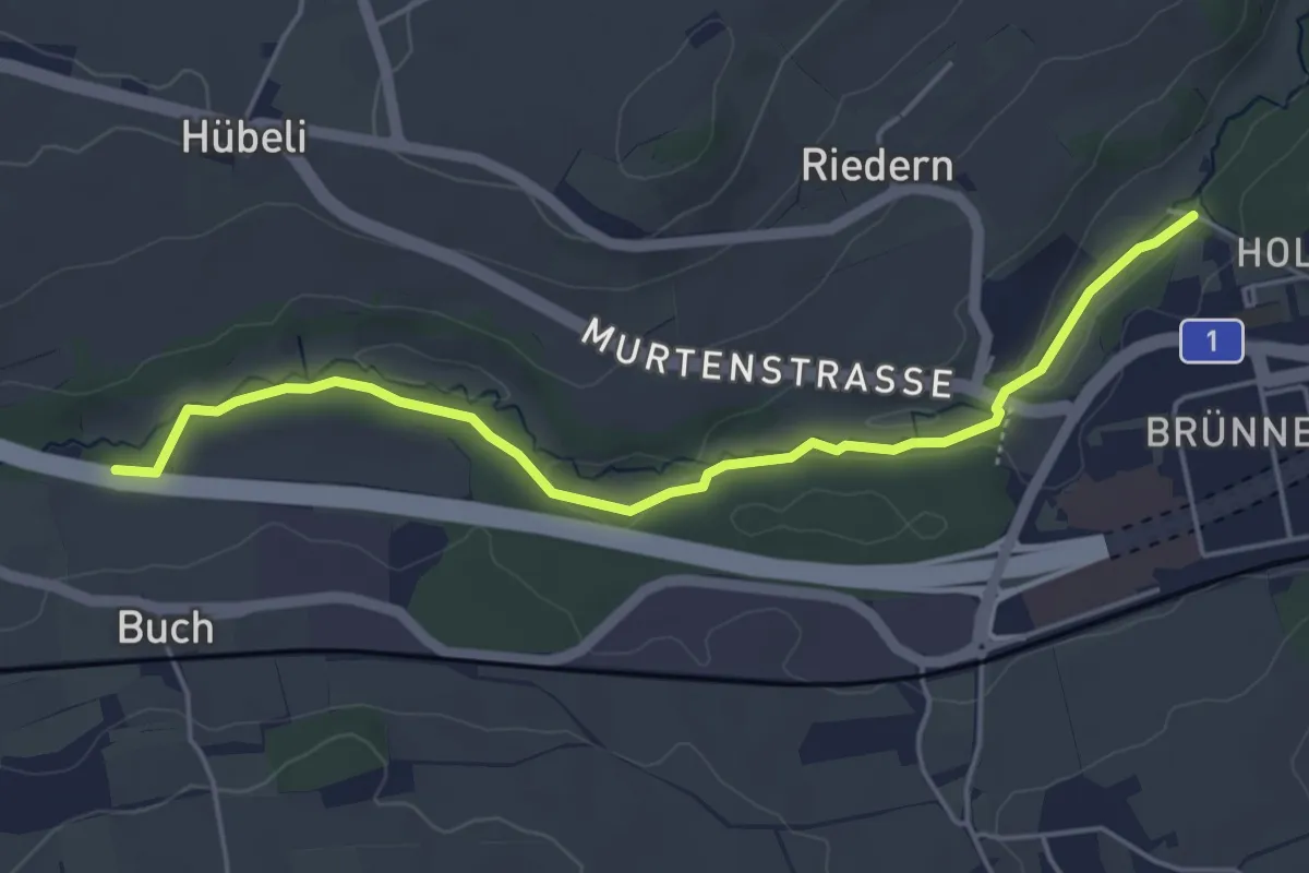
Gäbelbachbrücke - Autobahnviadukt
4.9 km · ↑ 37 m · 1 h 15 min · 11 km away
Easy · Trail
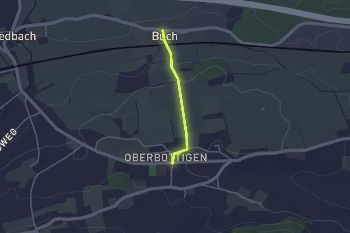
Buech - Oberbottigen
2.0 km · ↑ 43 m · 34 min · 11 km away
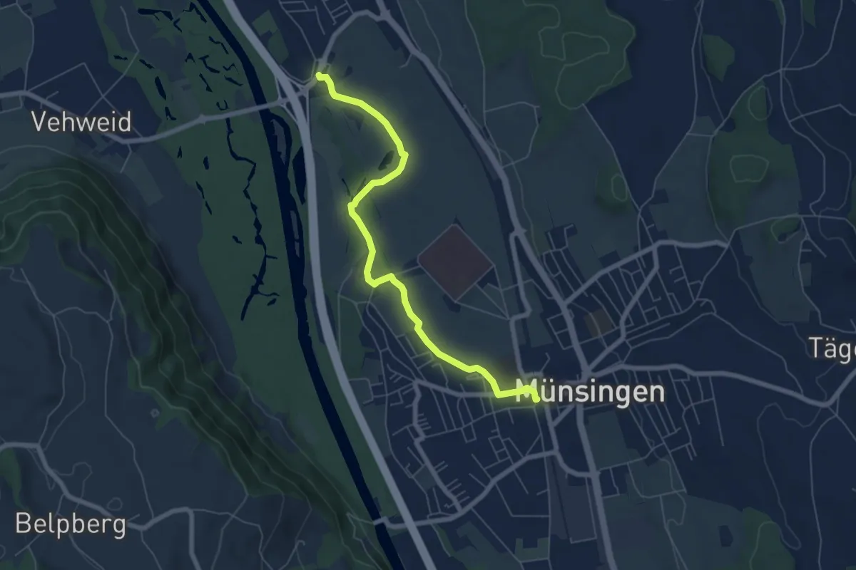
Easy · Trail
Münsingen – Hunziken
6.4 km · ↑ 21 m · 1 h 34 min · 11 km away
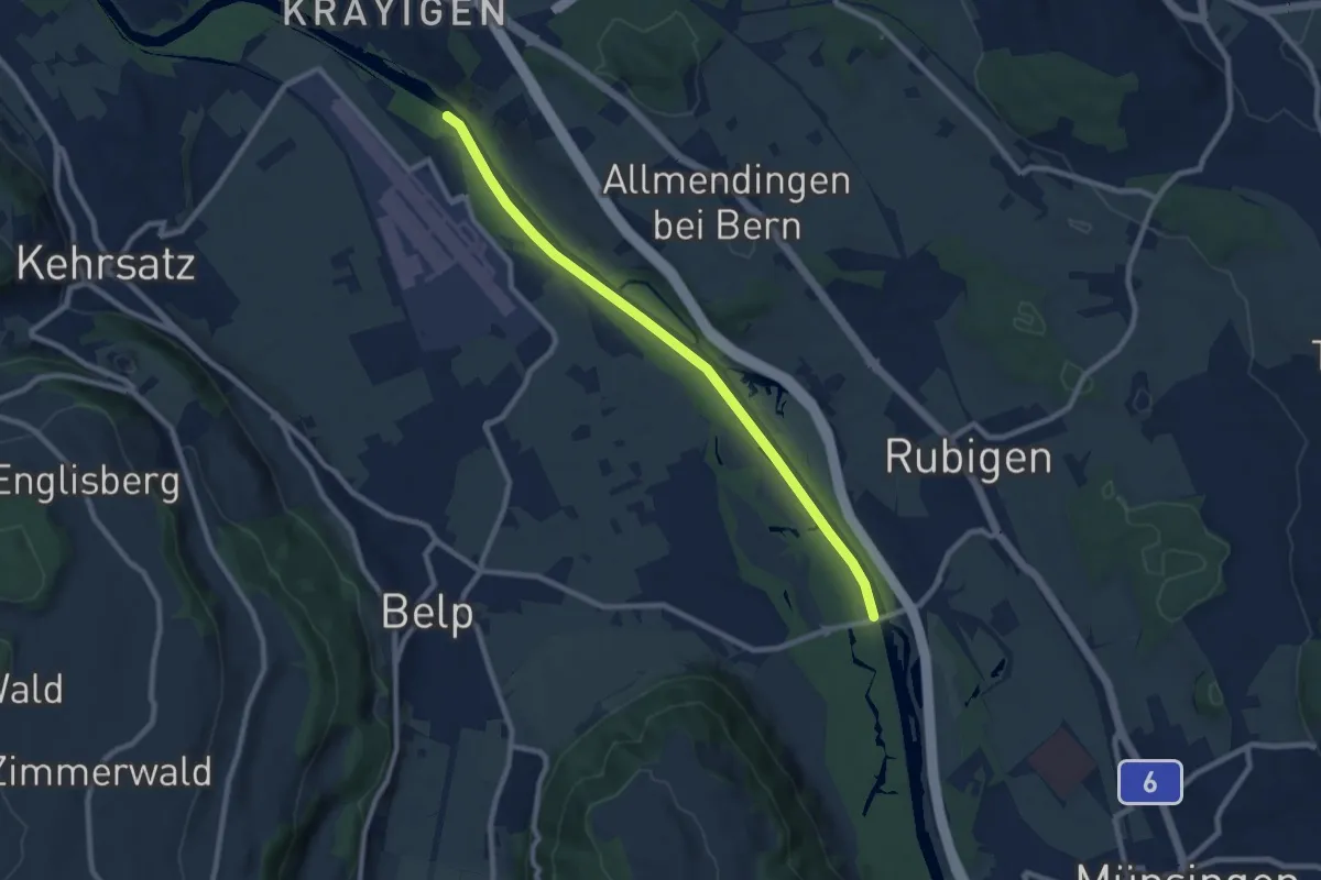
Medium · Trail
Auguetbrügg - Hunzigebrügg
8.7 km · ↑ 8 m · 2 h 4 min · 11 km away
Medium · Trail
Wasenegg – Afterlehn
10.5 km · ↑ 513 m · 3 h 36 min · 11 km away
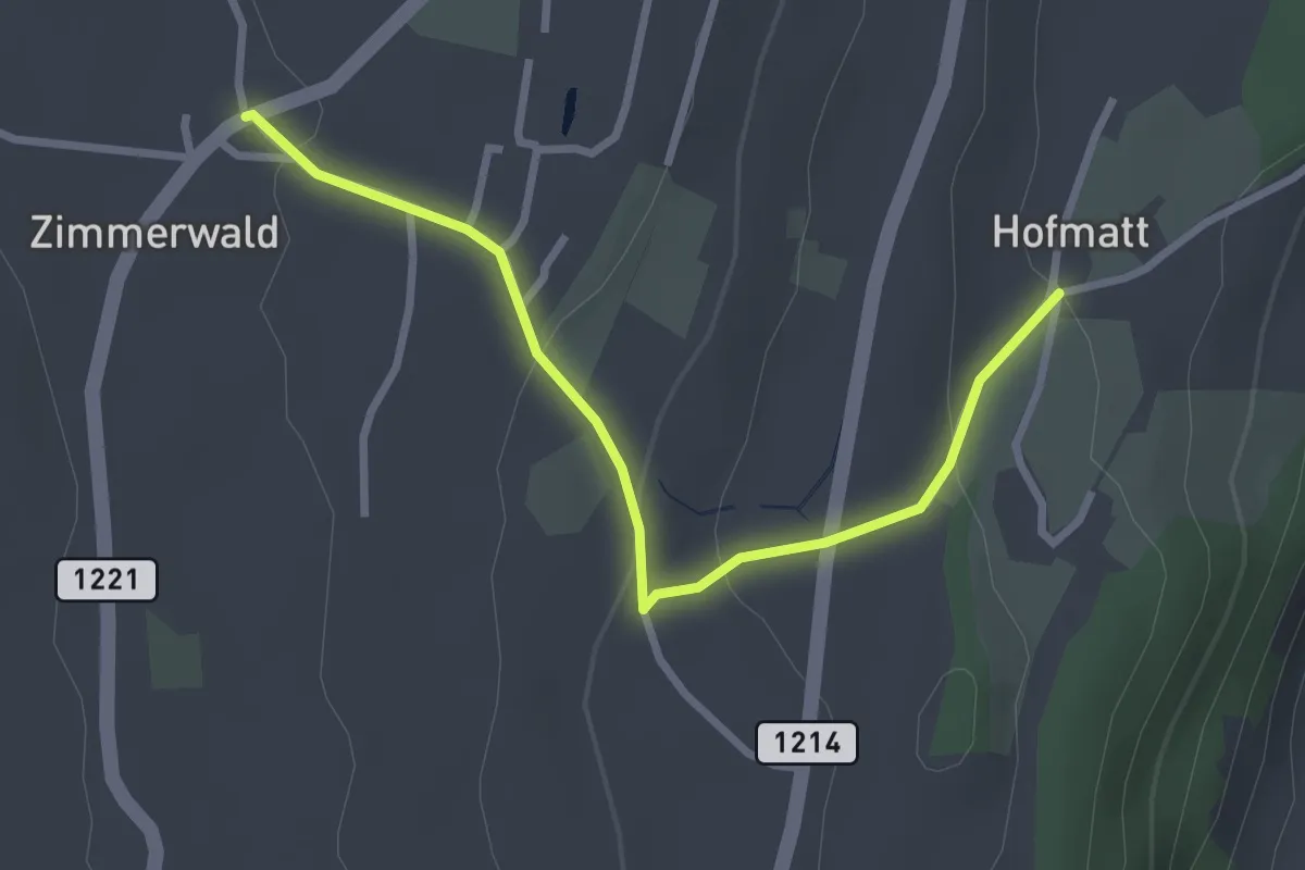
Easy · Trail
Zimmerwald – Hofmatt
2.9 km · ↑ 102 m · 54 min · 11 km away
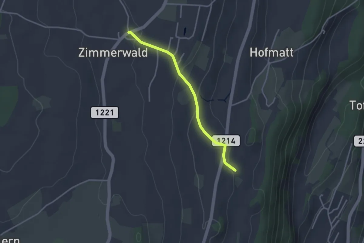
Easy · Trail
Zimmerwald – Rossweid
2.6 km · ↑ 64 m · 45 min · 11 km away
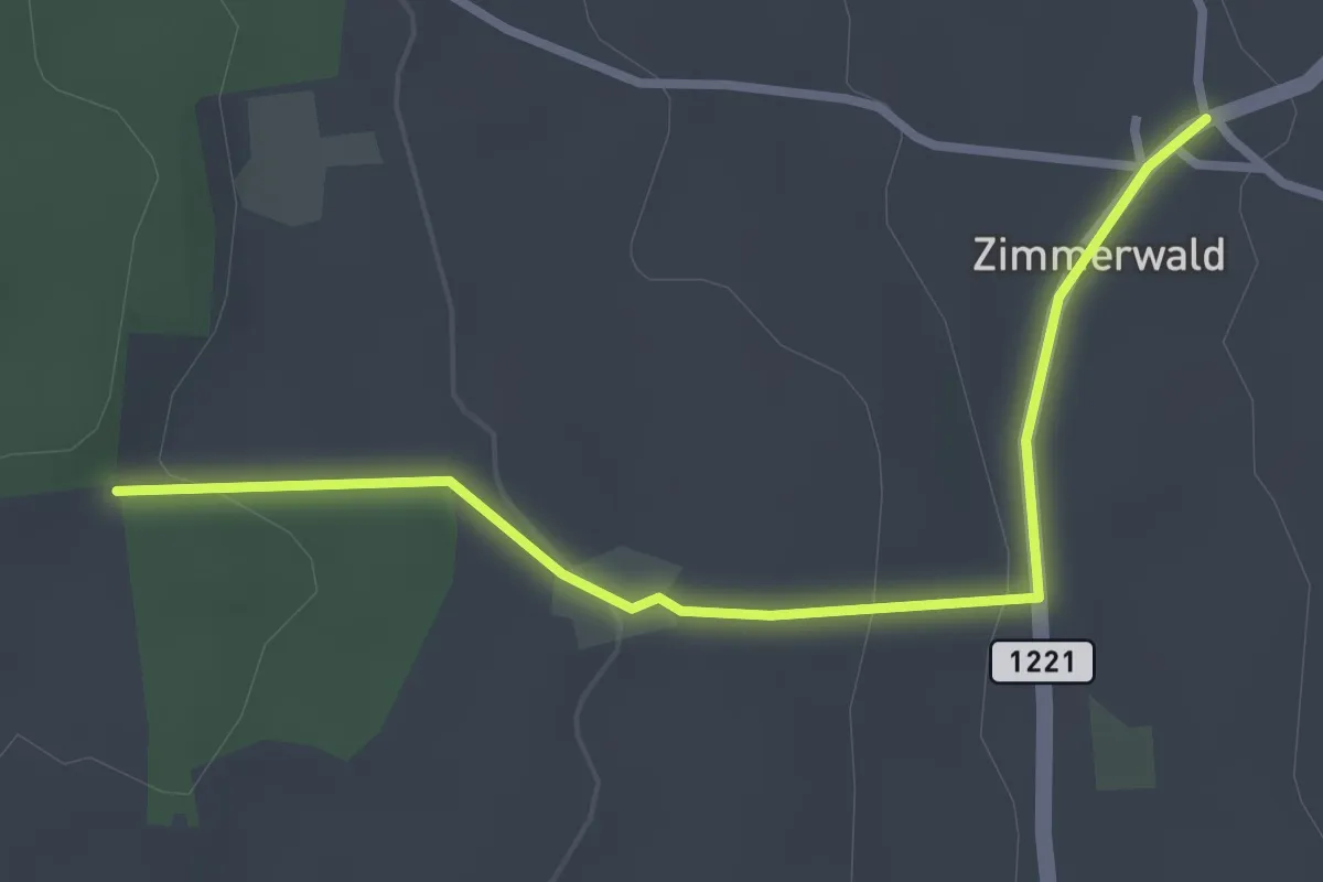
Easy · Trail
Allmid – Zimmerwald
3.0 km · ↑ 84 m · 53 min · 11 km away
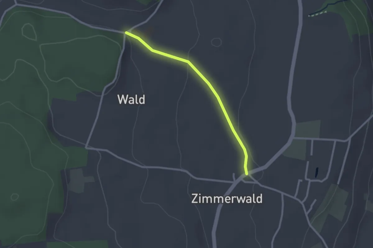
Easy · Trail
Zimmerwald – Undere Wald
2.1 km · ↑ 37 m · 35 min · 11 km away
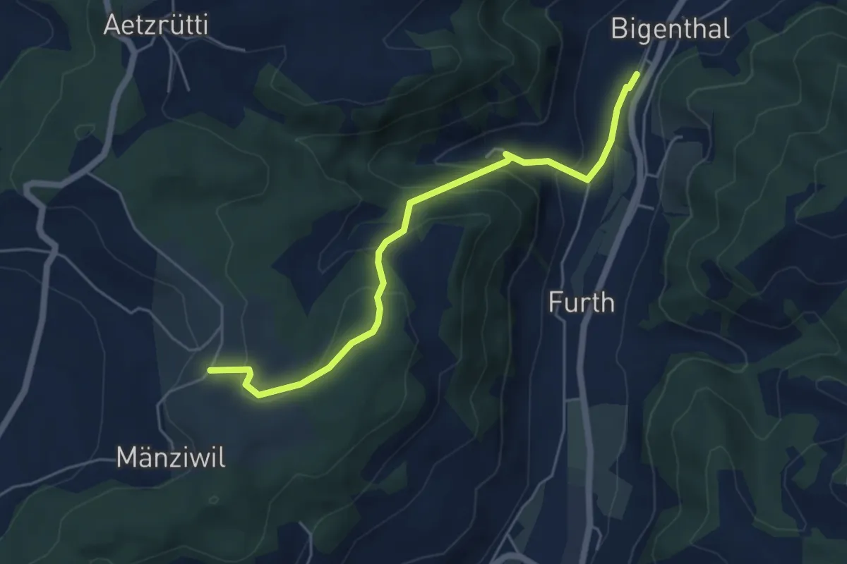
Easy · Trail
Mänziwilegg – Bigenthal
5.1 km · ↑ 272 m · 1 h 47 min · 11 km away
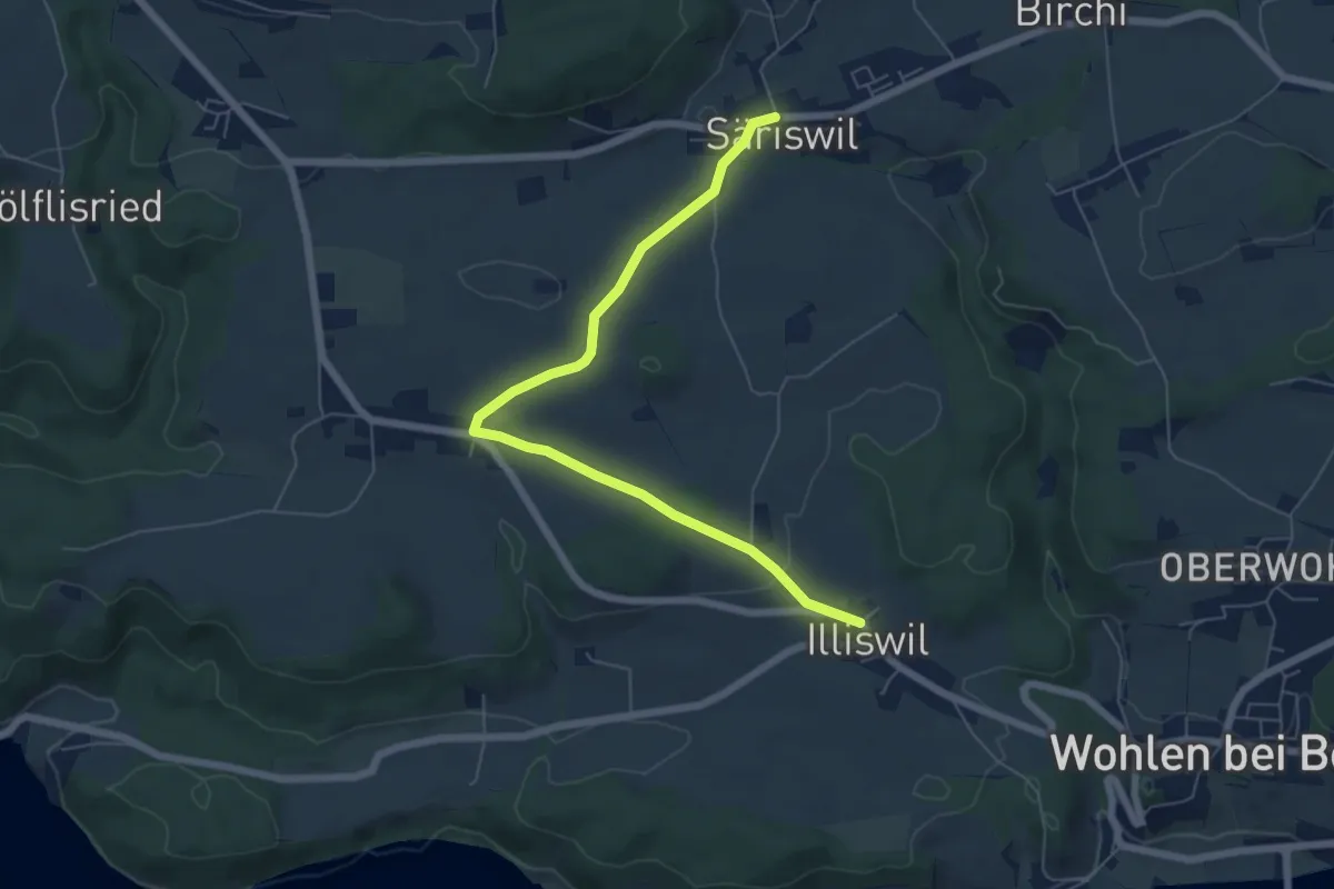
Easy · Trail
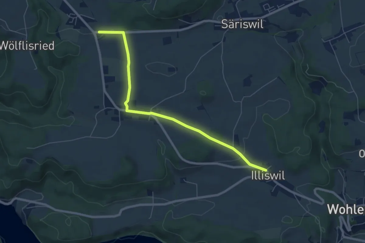
Säriswil – Illiswil
6.6 km · ↑ 97 m · 1 h 46 min · 11 km away
Easy · Trail
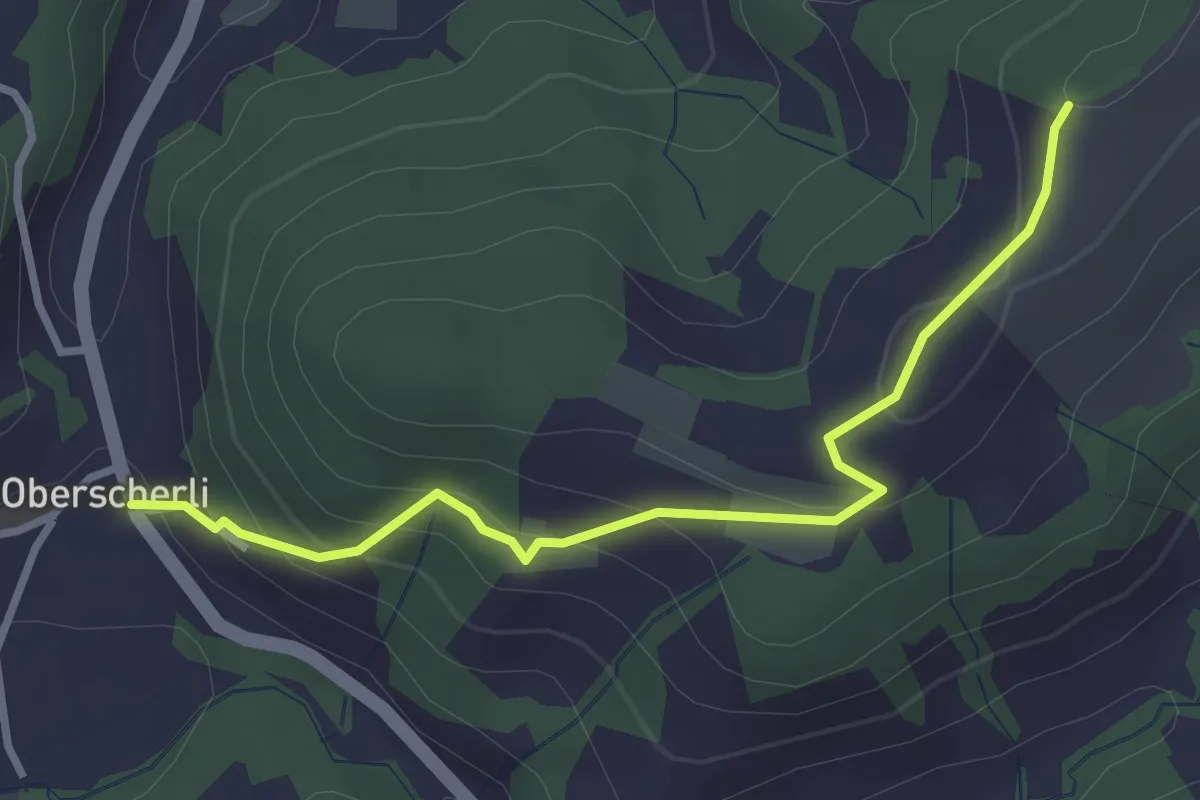
Illiswil – Weiermatt
6.3 km · ↑ 110 m · 1 h 44 min · 11 km away
Easy · Trail
Zingghöch – Oberscherli
3.1 km · ↑ 195 m · 1 h 9 min · 11 km away
Easy · Trail
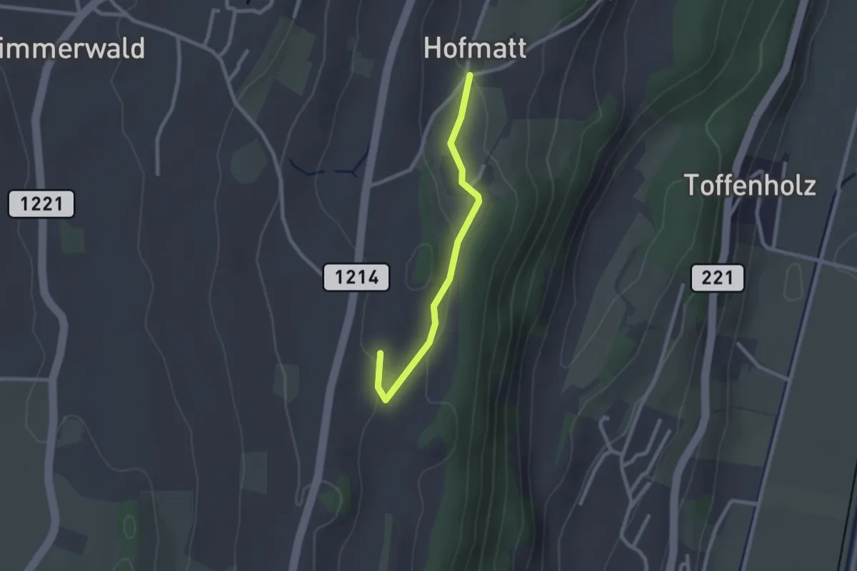
Wengi – Rapperswil
4.9 km · ↑ 117 m · 1 h 25 min · 11 km away
Easy · Trail
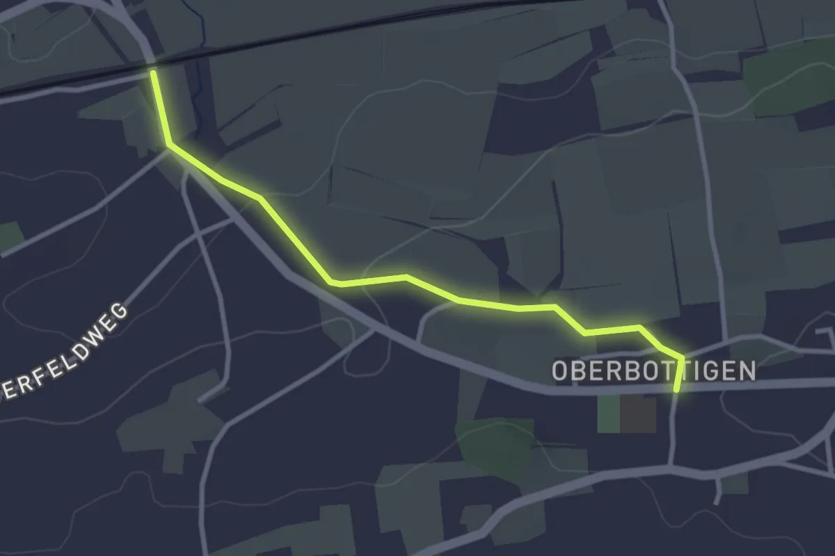
Hofmatt – Rossweid
2.1 km · ↑ 34 m · 35 min · 11 km away
Easy · Trail
Oberbottigen - Riedbach/Station
2.9 km · ↑ 46 m · 47 min · 11 km away
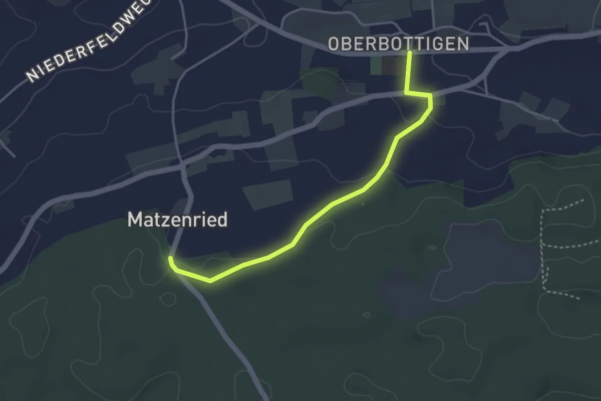
Easy · Trail
Oberbottigen - Holzeggen
3.4 km · ↑ 57 m · 56 min · 11 km away
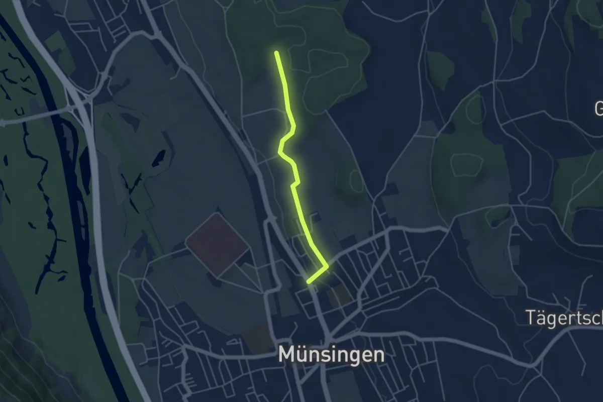
Easy · Trail
Münsingen – Schwandwald
3.7 km · ↑ 76 m · 1 h 2 min · 11 km away
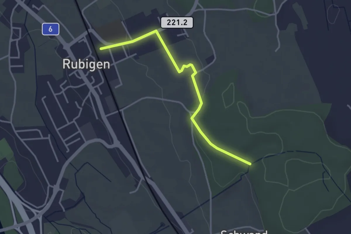
Easy · Trail
Rubigen – Schwandwald
3.2 km · ↑ 57 m · 53 min · 11 km away
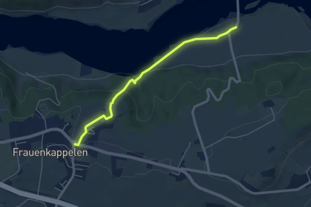
Easy · Trail
Wohlei - Frauenkappelen/Post
4.2 km · ↑ 160 m · 1 h 21 min · 11 km away
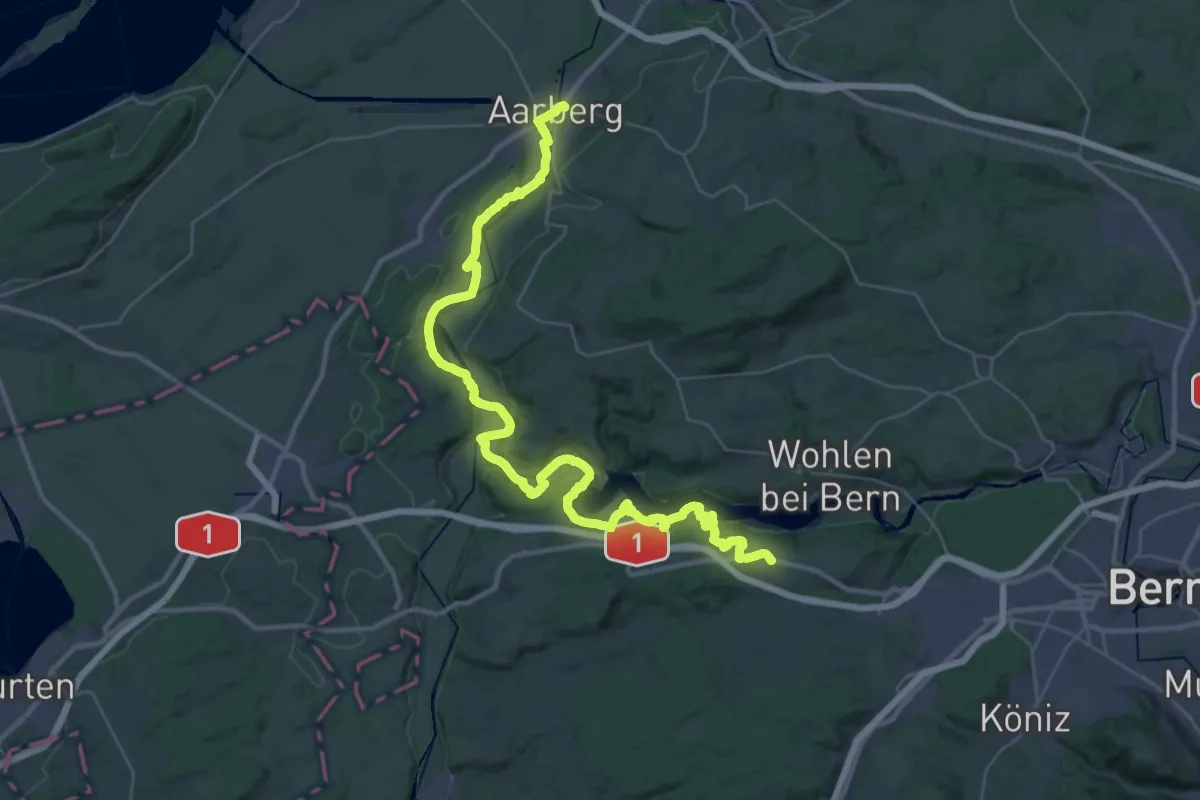
Demanding · Trail
ViaBerna Etappe 7
24.1 km · ↑ 499 m · 7 h 11 min · 11 km away
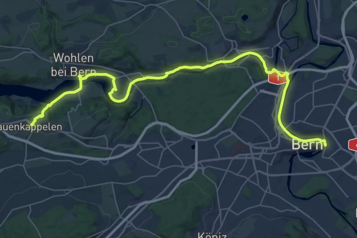
Medium · Trail
ViaBerna Etappe 8
14.8 km · ↑ 242 m · 4 h 16 min · 11 km away