Trails near Le Locle
158 hikes starting within 15 km, nearest first.
Nearest first, page 3 of 4
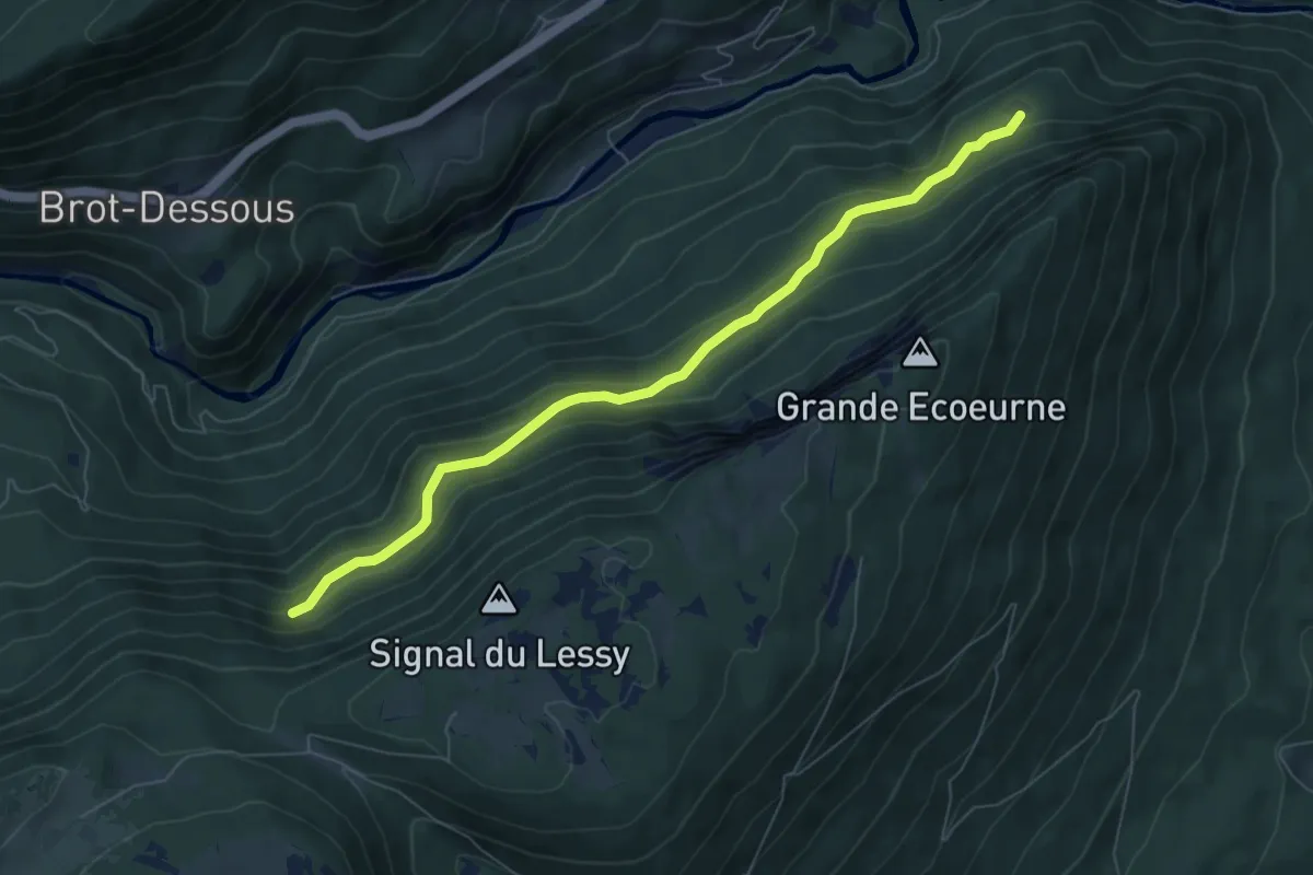
Easy · Trail
Treymont - fixme
7.0 km · ↑ 307 m · 2 h 18 min · 11 km away
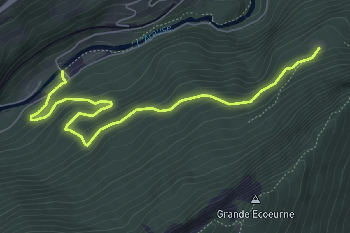
Medium · Trail
Champ du Moulin – Treymont
6.0 km · ↑ 331 m · 2 h 9 min · 11 km away
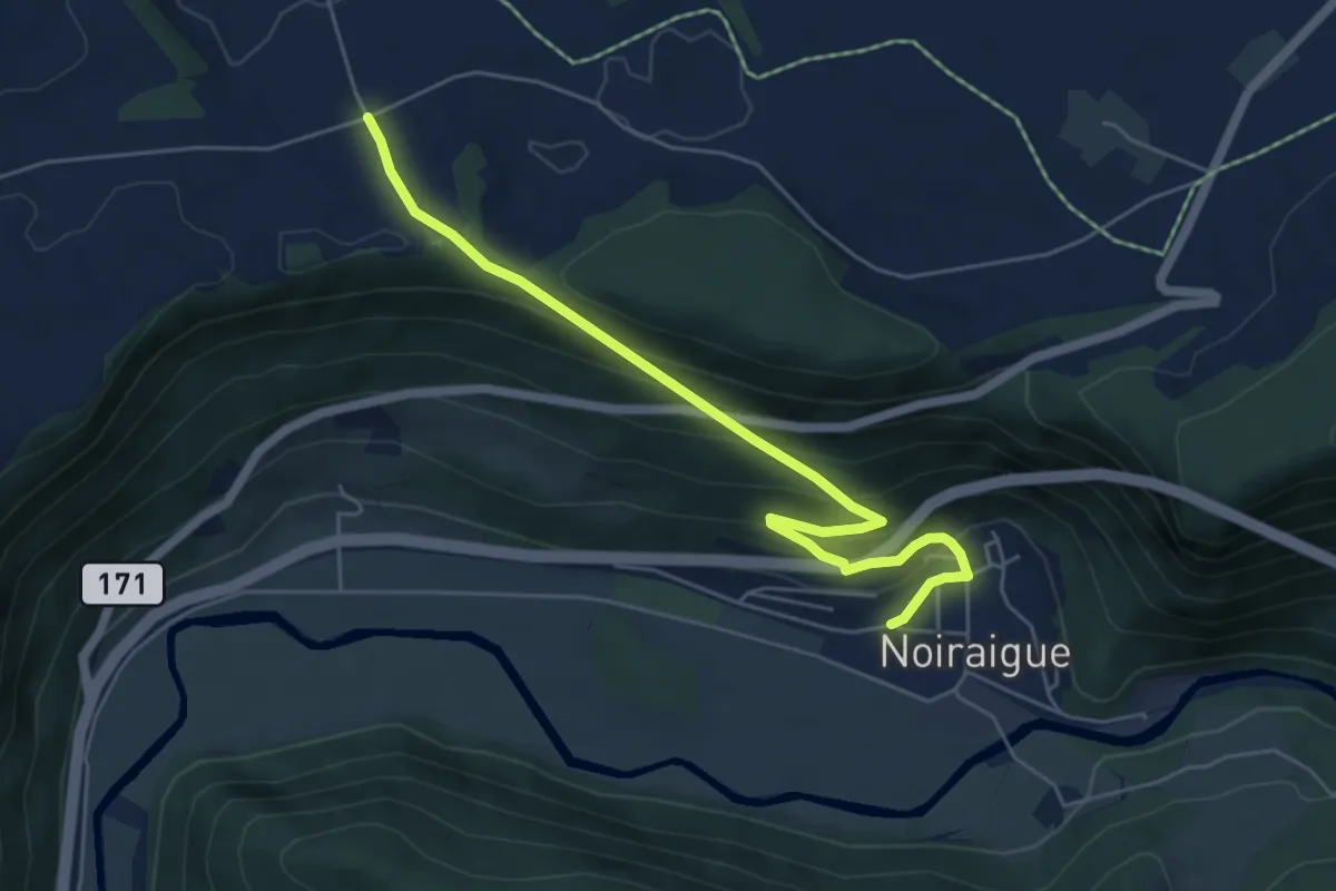
Medium · Trail
Noiraigue – Les Emposieux
5.9 km · ↑ 363 m · 2 h 11 min · 11 km away
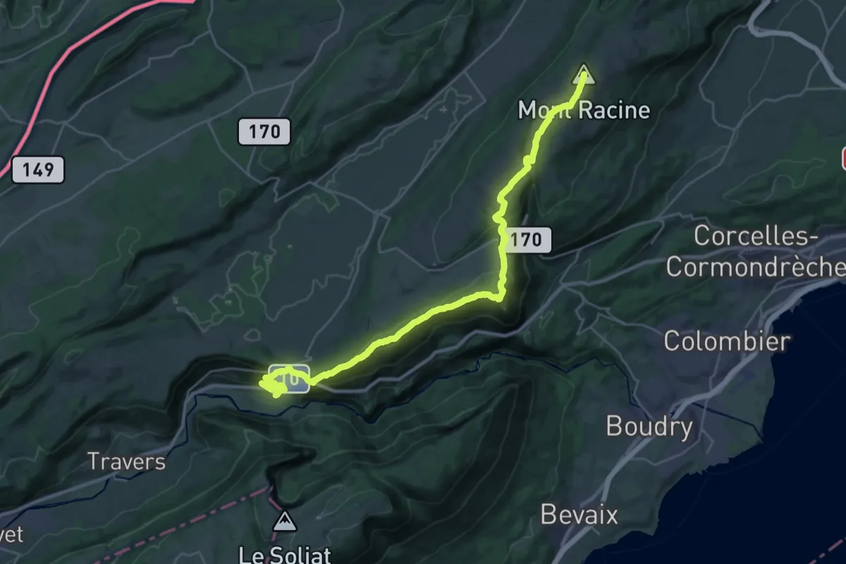
Demanding · Summit
Chemin des Crêtes du Jura
29.0 km · ↑ 1223 m · 9 h 30 min · 11 km away
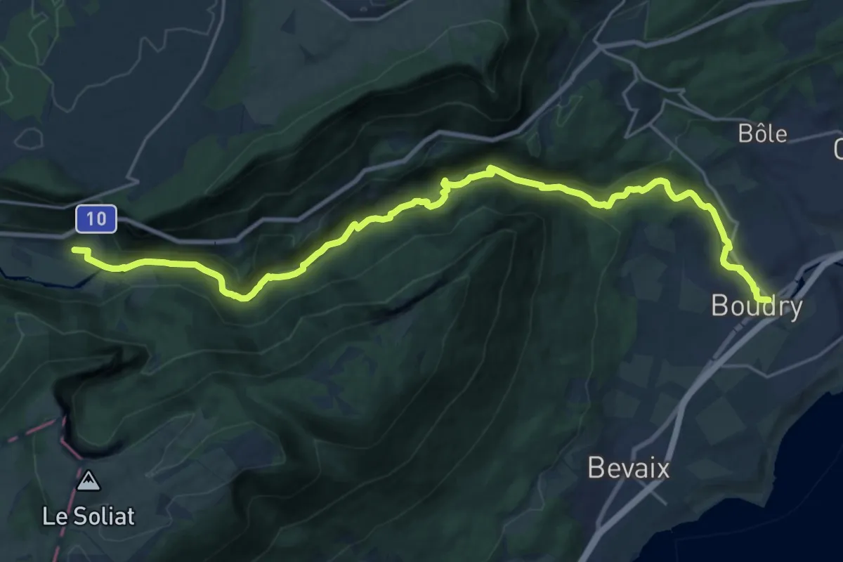
Demanding · Trail
Sentier des Gorges de l'Areuse
23.4 km · ↑ 654 m · 6 h 56 min · 11 km away
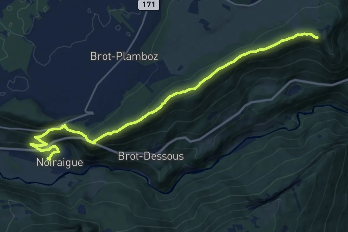
Medium · Summit
La Tourne – Noiraigue
15.5 km · ↑ 683 m · 5 h 8 min · 11 km away
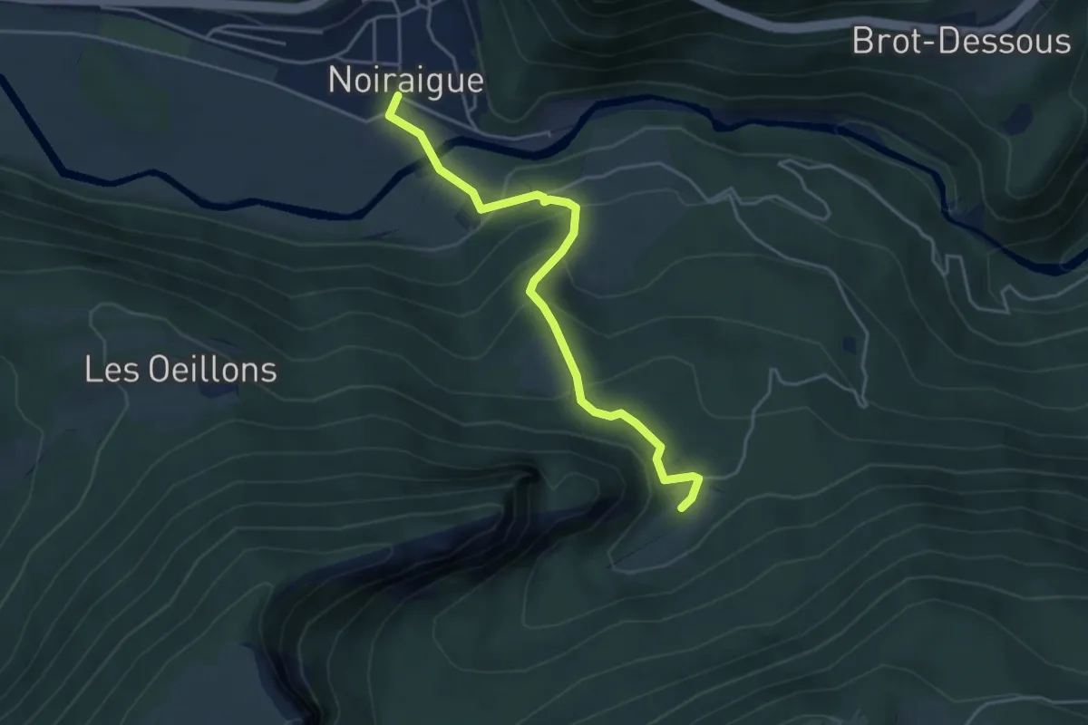
Easy · Trail
Noiraigue – Ferme Robert
4.2 km · ↑ 282 m · 1 h 37 min · 11 km away
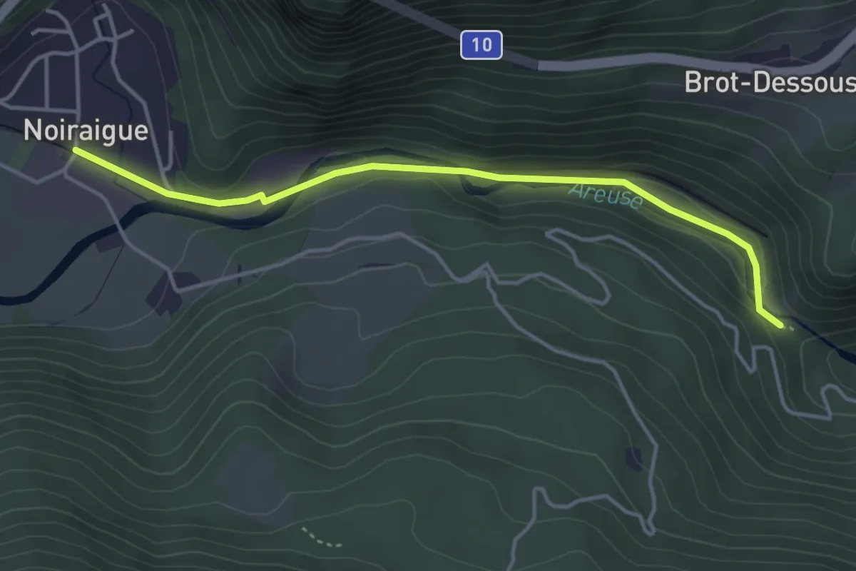
Easy · Trail
Noiraigue – Saut de Brot
4.0 km · ↑ 128 m · 1 h 13 min · 11 km away
Easy · Trail
Valangin - Serroue
6.5 km · ↑ 168 m · 1 h 54 min · 12 km away
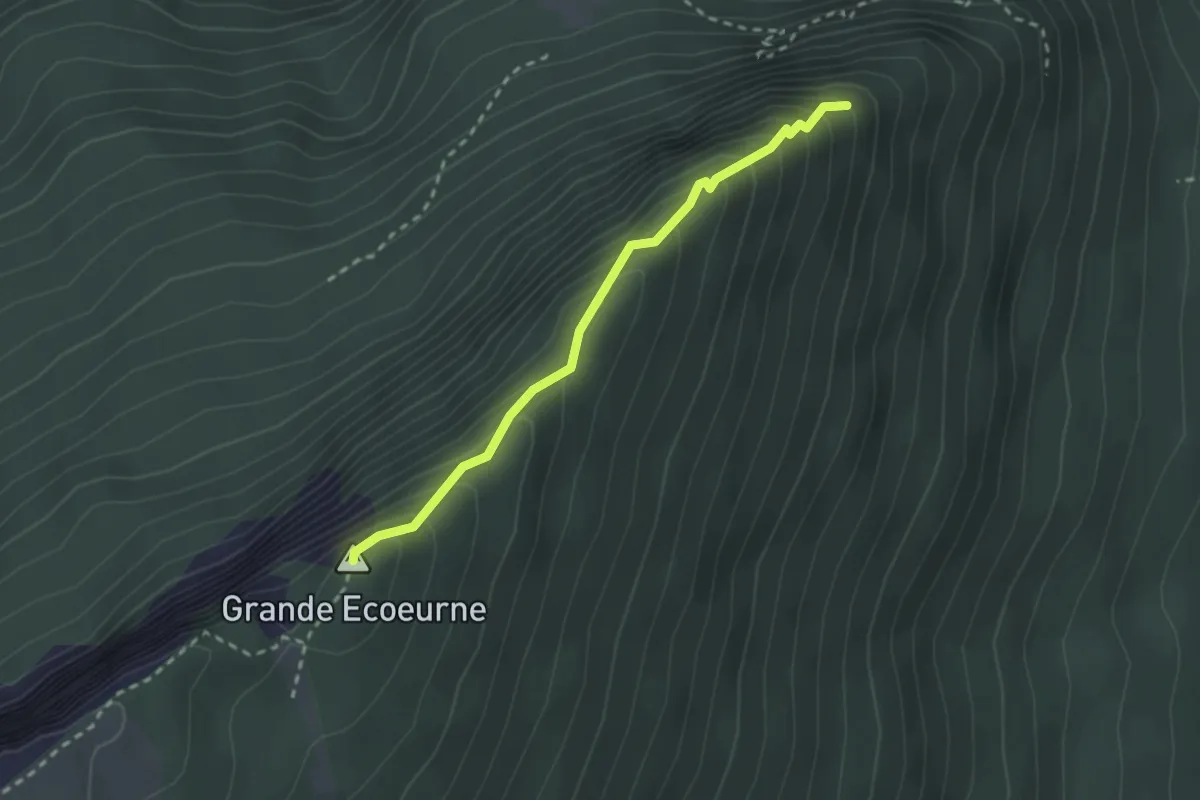
Easy · Summit
Grande Ecoeurne - Le Belvédère
2.4 km · ↑ 268 m · 1 h 9 min · 12 km away
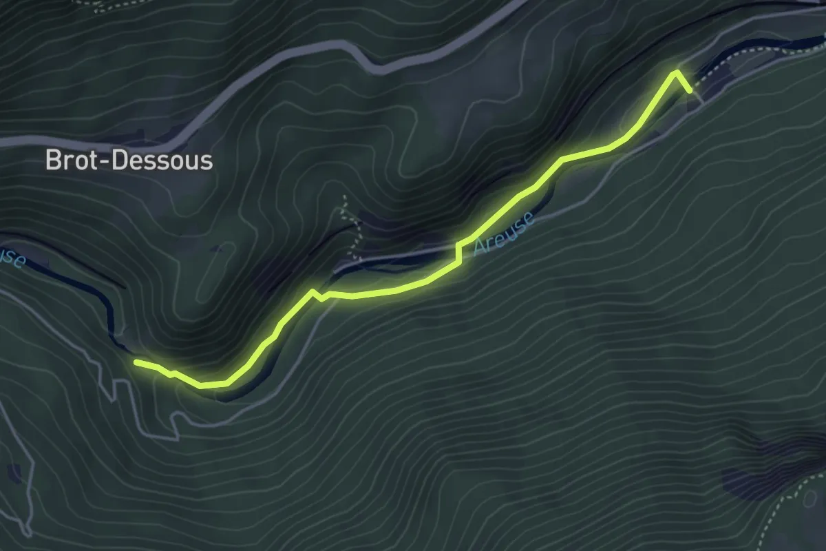
Easy · Trail
Saut de Brot – Champ du Moulin
4.2 km · ↑ 150 m · 1 h 20 min · 12 km away
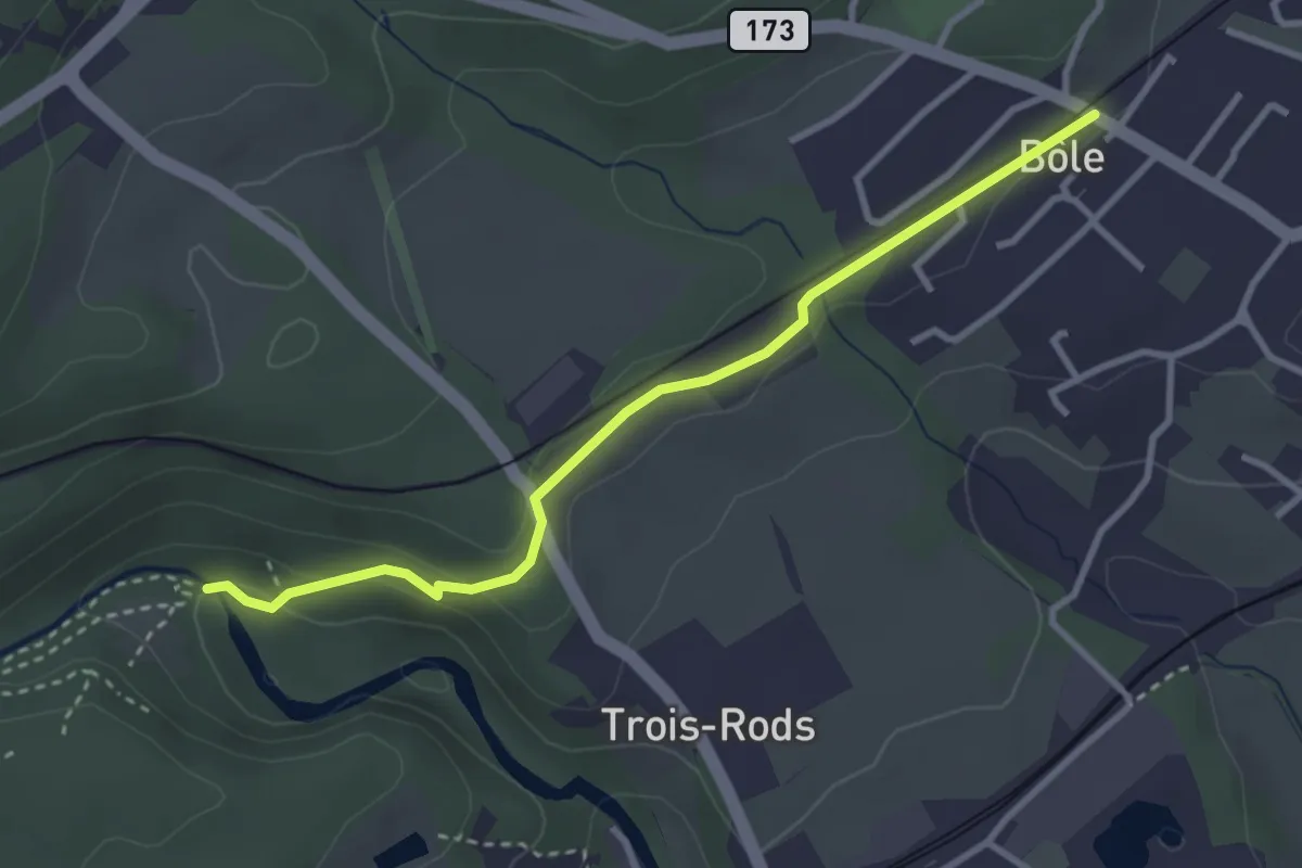
Easy · Trail
Pont des Clées – Bôle
3.2 km · ↑ 79 m · 56 min · 12 km away
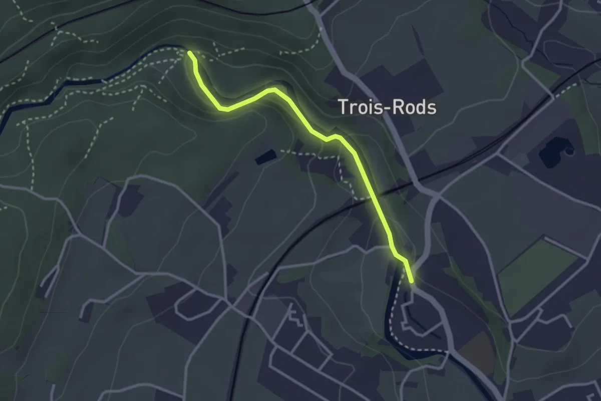
Easy · Trail
Boudry – Pont des Clées
2.7 km · ↑ 72 m · 48 min · 12 km away
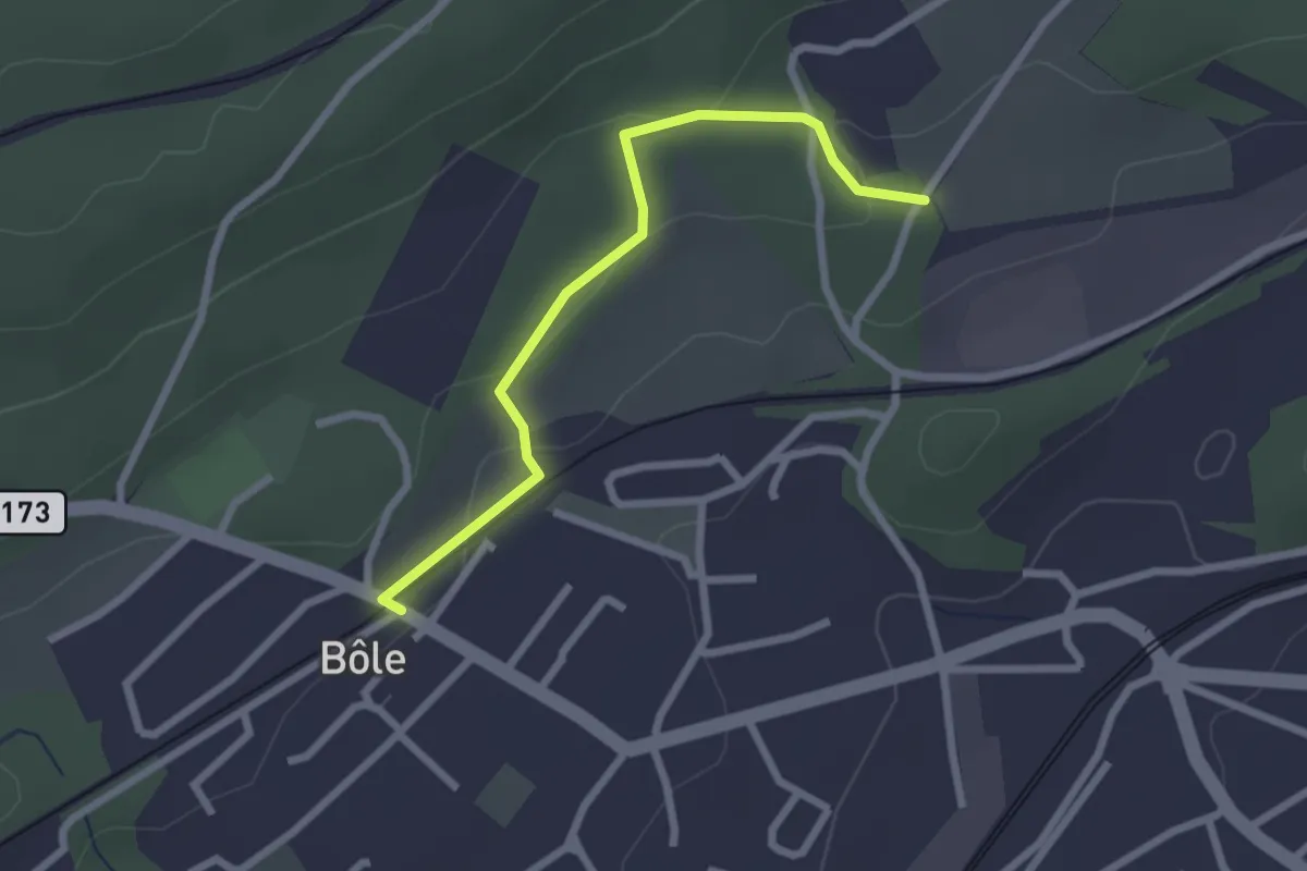
Easy · Trail
Bôle – Cottendart
2.4 km · ↑ 69 m · 43 min · 12 km away
Easy · Trail
Le Belvédère - Forêt de Boudry
2.6 km · ↑ 137 m · 54 min · 12 km away
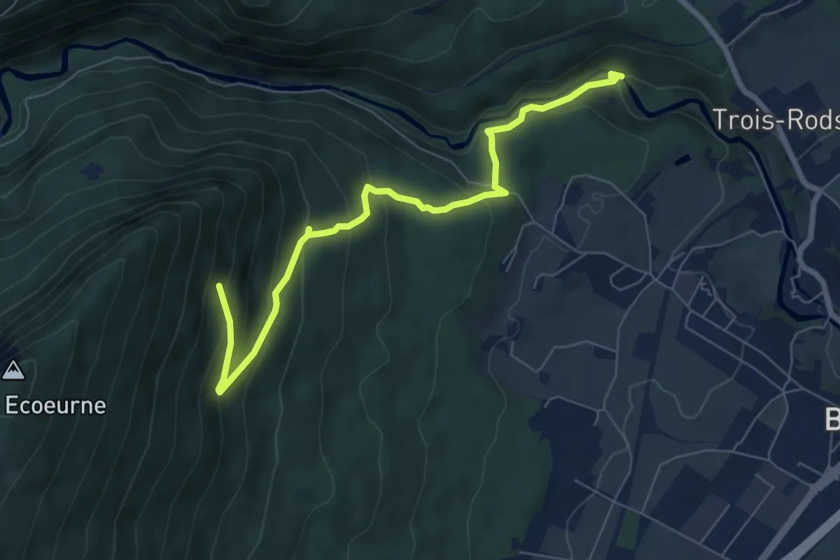
Medium · Trail
Pont des Clées – Forêt de Boudry
7.1 km · ↑ 451 m · 2 h 40 min · 12 km away
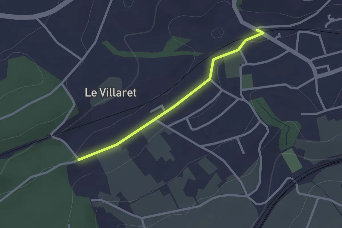
Easy · Trail
Cormondrèche (Les Nods) – Le Villaret
2.0 km · ↑ 17 m · 31 min · 12 km away
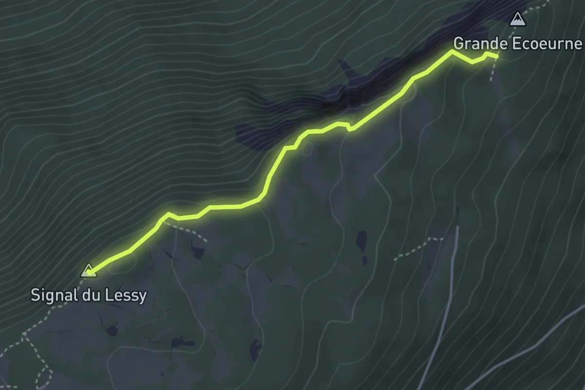
Medium · Summit
Grande Ecoeurne-Signal du Lessy
3.7 km · ↑ 337 m · 1 h 37 min · 12 km away
Easy · Trail
Mont d'Amin - fixme
4.8 km · ↑ 127 m · 1 h 24 min · 12 km away
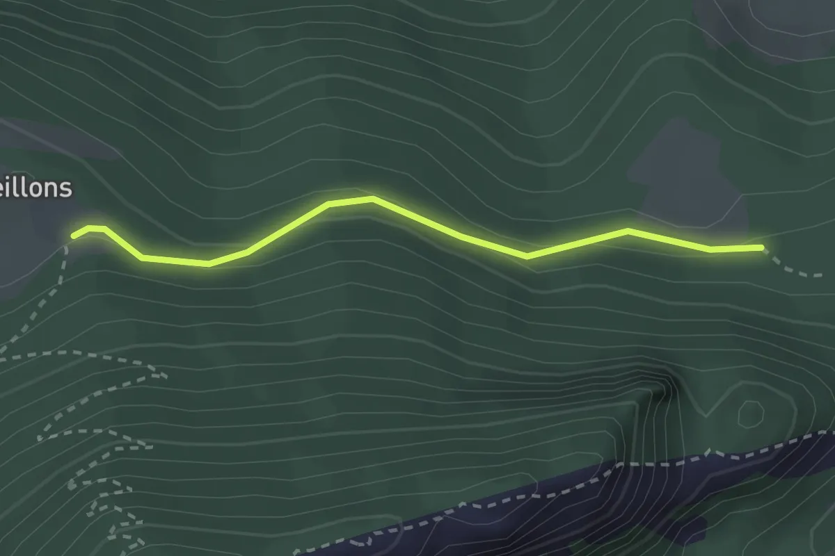
Easy · Trail
Les Oeuillons-Ferme Robert
2.4 km · ↑ 87 m · 45 min · 12 km away
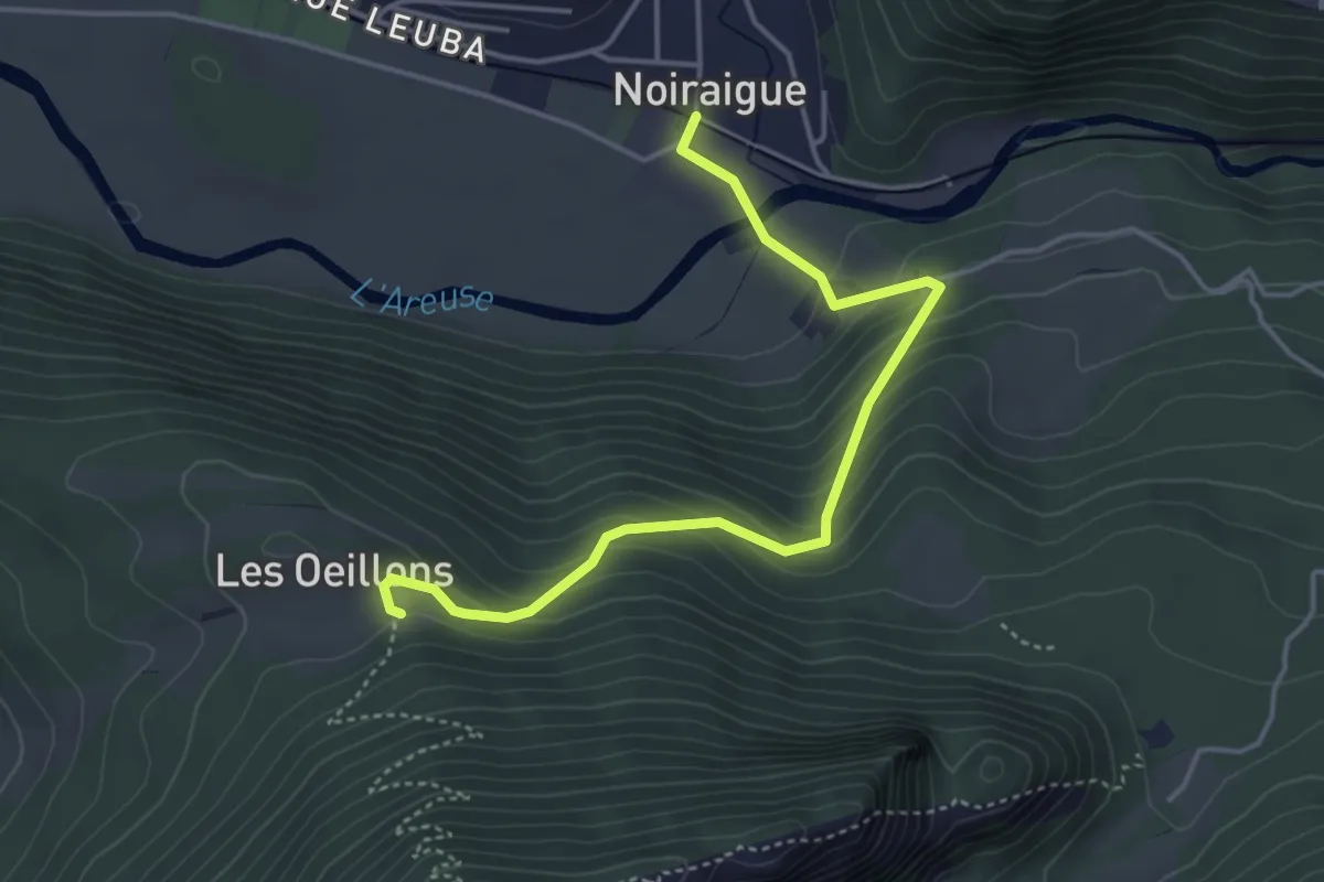
Easy · Trail
Noiraigue – Les Oeuillons
4.4 km · ↑ 305 m · 1 h 42 min · 12 km away
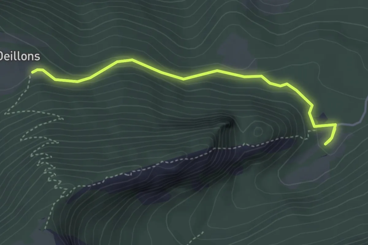
Easy · Trail
Ferme Robert – Les Oeuillons
3.8 km · ↑ 154 m · 1 h 14 min · 12 km away
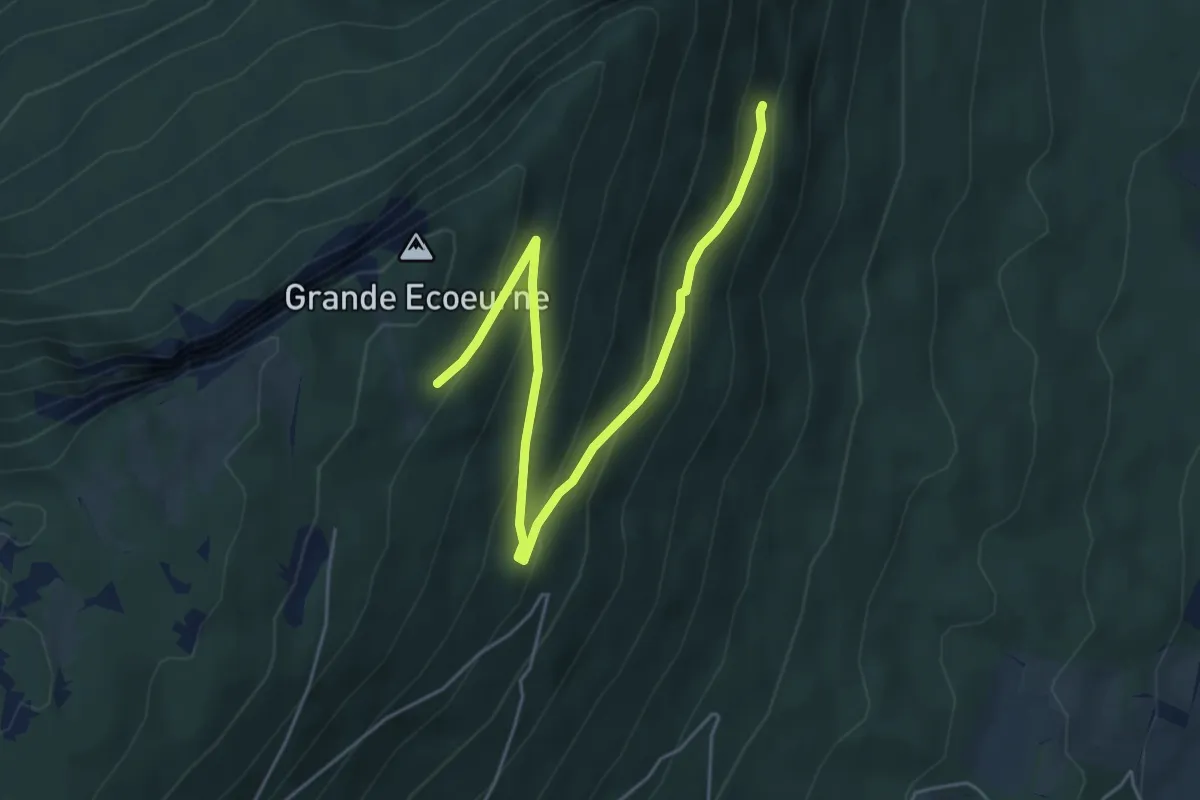
Easy · Trail
Forêt de Boudry - fixme
5.6 km · ↑ 311 m · 1 h 59 min · 12 km away
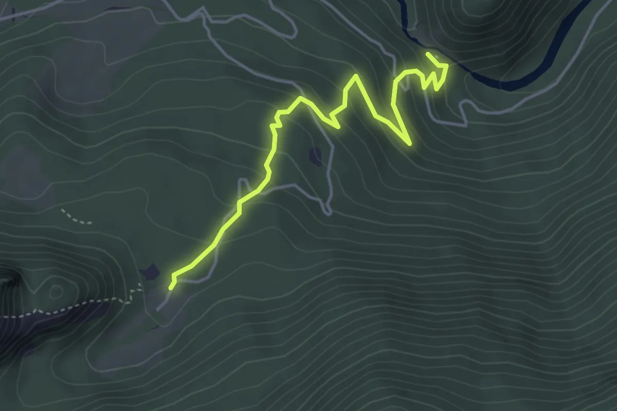
Easy · Trail
Saut de Brot – Ferme Robert
4.2 km · ↑ 259 m · 1 h 34 min · 13 km away
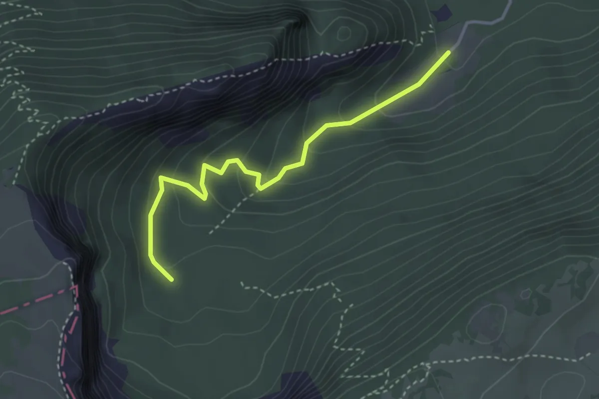
Easy · Trail
Ferme Robert – Fontain Froide
3.3 km · ↑ 188 m · 1 h 11 min · 13 km away
Easy · Trail
Maison Monsieur - Chez Bonaparte
5.2 km · ↑ 82 m · 1 h 24 min · 13 km away
Demanding · Trail
Au fil du Doubs - Etappe 2
20.8 km · ↑ 948 m · 7 h 19 min · 13 km away
Easy · Trail
Valangin - Le Gibet (par les Esserts)
4.0 km · ↑ 146 m · 1 h 16 min · 13 km away
Easy · Trail
Valangin - Les 3 Bornes
3.9 km · ↑ 213 m · 1 h 22 min · 13 km away
Medium · Trail
Neuchâtel, Pont des Parcs – Valangin
7.9 km · ↑ 371 m · 2 h 40 min · 13 km away
Easy · Trail
Neuchâtel Vauseyon – Le Gibet
4.2 km · ↑ 272 m · 1 h 35 min · 13 km away
Easy · Trail
Valangin - Le Gibet (sentier des gorges)
2.9 km · ↑ 136 m · 59 min · 13 km away
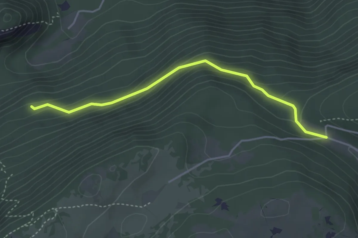
Easy · Trail
Pré au Favre - fixme
3.7 km · ↑ 201 m · 1 h 18 min · 13 km away
Medium · Trail
Les Vieux Prés – Grand Chezard
6.0 km · ↑ 329 m · 2 h 8 min · 13 km away
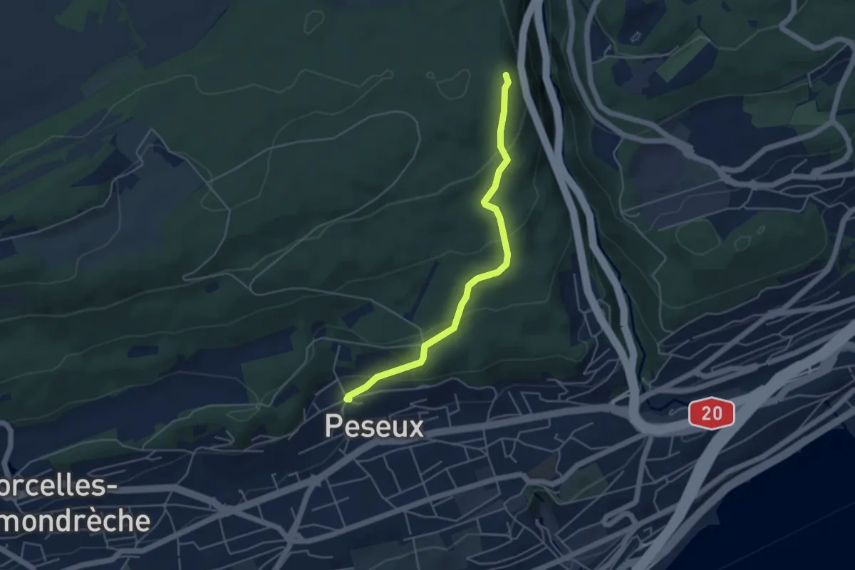
Easy · Trail
Peseux - Le Gibet
4.4 km · ↑ 209 m · 1 h 30 min · 13 km away
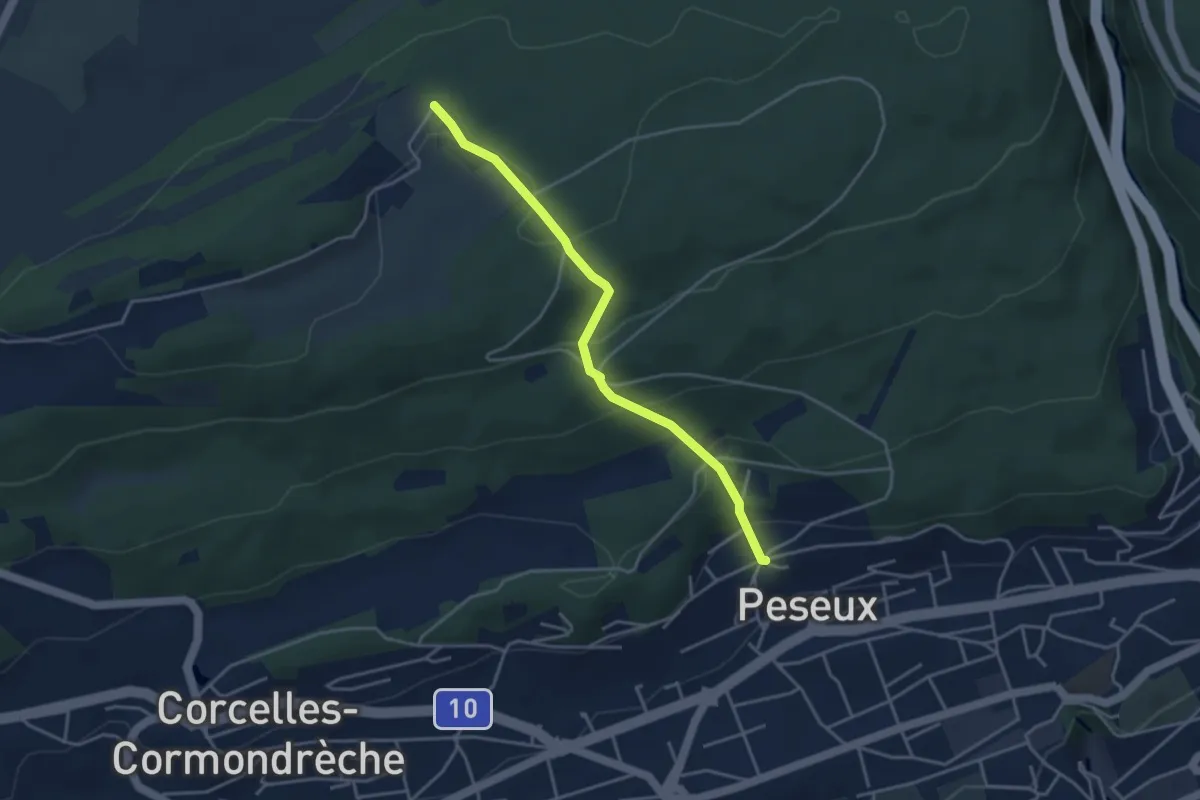
Easy · Trail
Peseux - Serroue
3.7 km · ↑ 241 m · 1 h 24 min · 13 km away
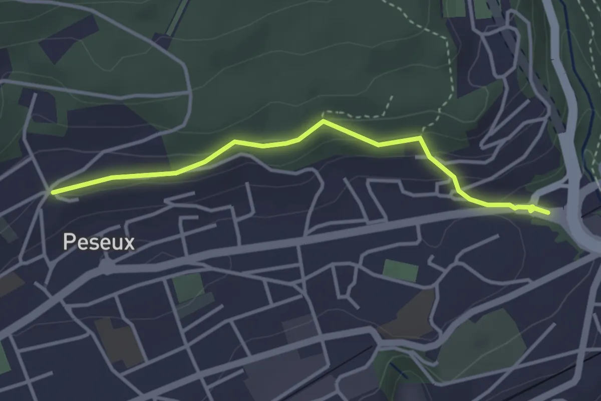
Easy · Trail
Neuchâtel Vauseyon - Peseux
3.1 km · ↑ 114 m · 59 min · 13 km away
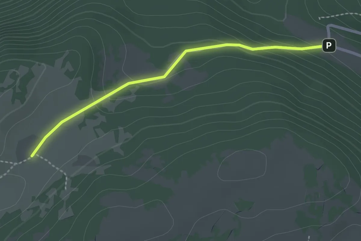
Easy · Cabin
La Grand Vy-Pré au Favre
2.2 km · ↑ 78 m · 41 min · 13 km away
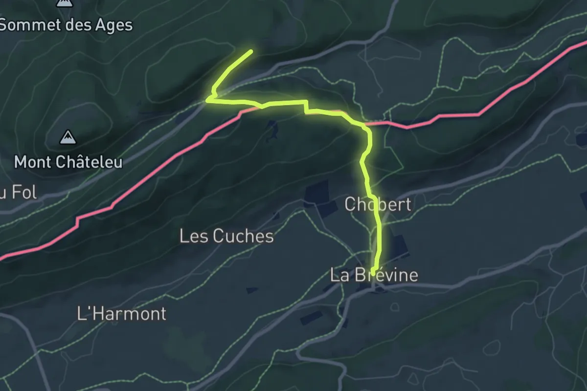
Easy · Trail
Chemin Michel Hollard
6.4 km · ↑ 225 m · 2 h · 13 km away
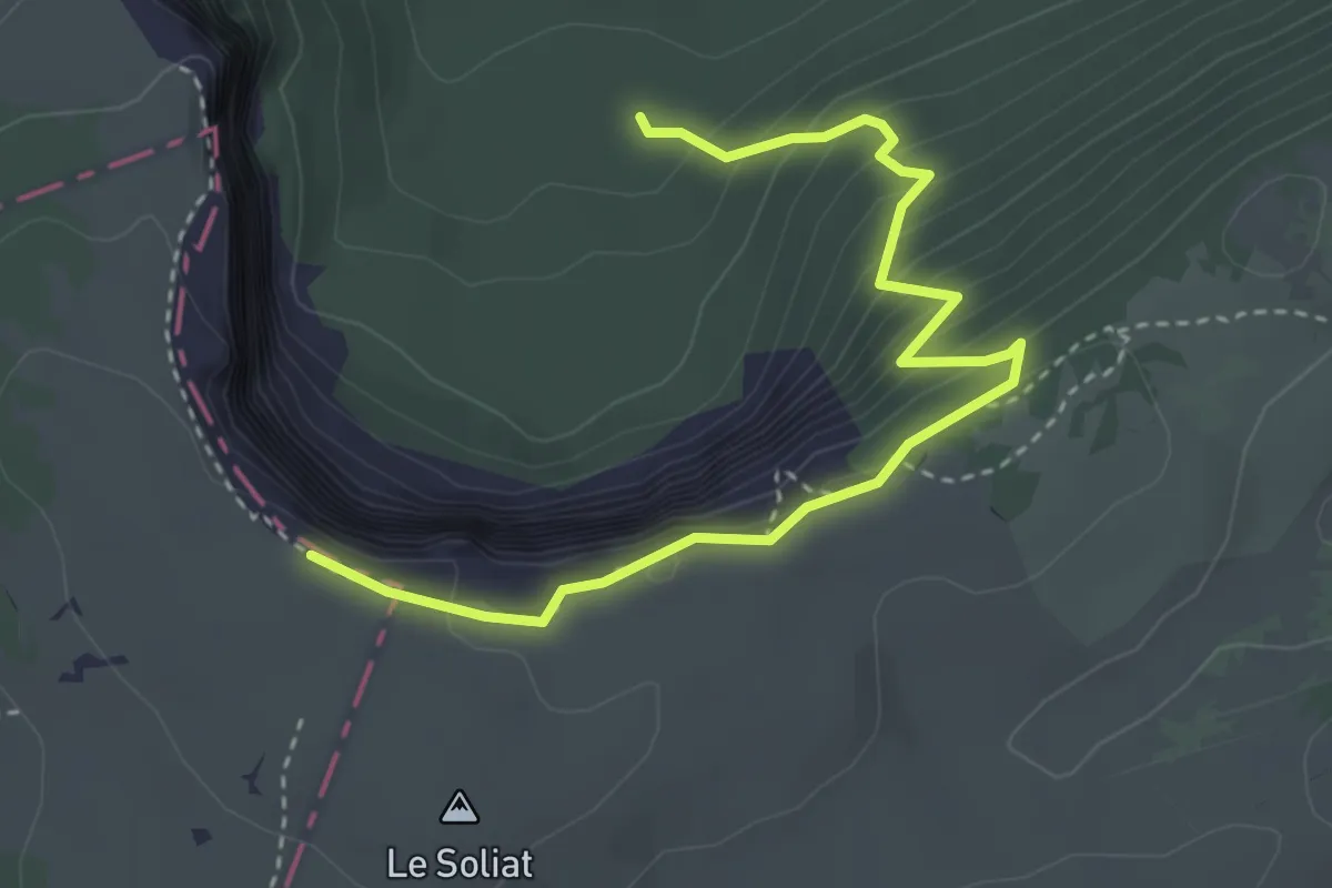
Medium · Trail
Bas du Single - Le Soliat Cirque Creux du Van
3.9 km · ↑ 383 m · 1 h 45 min · 13 km away
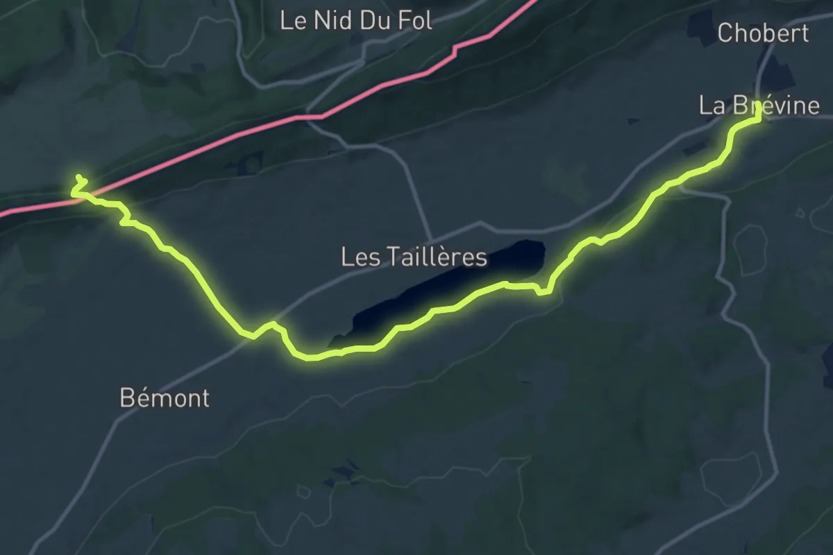
Medium · Trail
La vy aux moines
14.4 km · ↑ 371 m · 4 h 12 min · 13 km away
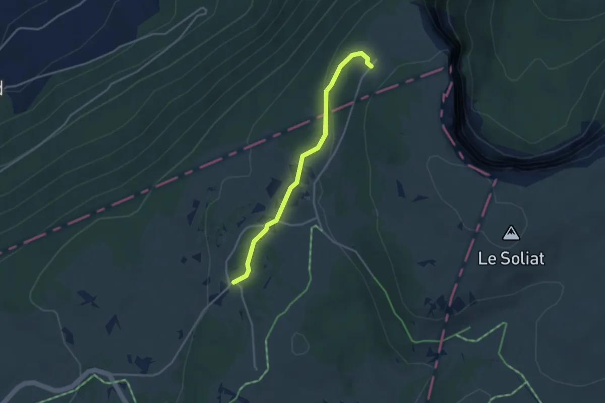
Easy · Trail
Ferme de Soliat - Chez les Favre? - fixme
3.0 km · ↑ 59 m · 50 min · 13 km away
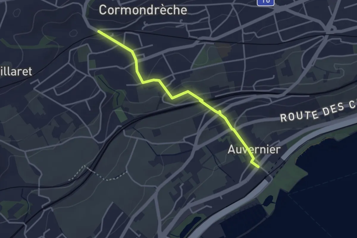
Easy · Trail
Auvernier – Cormondrèche
3.2 km · ↑ 130 m · 1 h 3 min · 13 km away
Easy · Trail
Prés Battereau - Les Vieux Prés
3.3 km · ↑ 102 m · 1 h · 13 km away
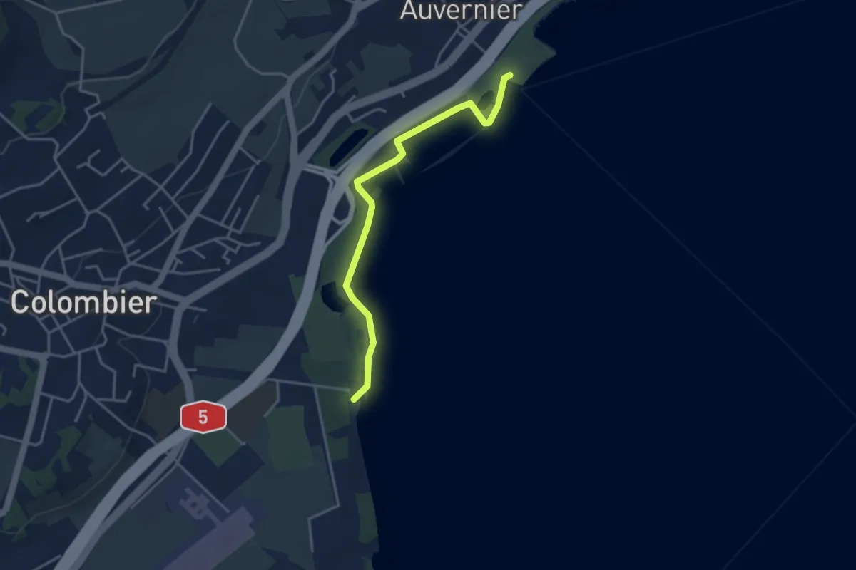
Easy · Trail
Auvernier – Colombier Robinson
3.6 km · ↑ 14 m · 53 min · 14 km away
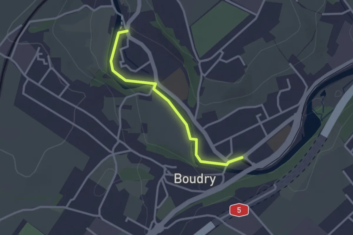
Easy · Trail
Boudry – Boudry Littorail
2.3 km · ↑ 11 m · 35 min · 14 km away
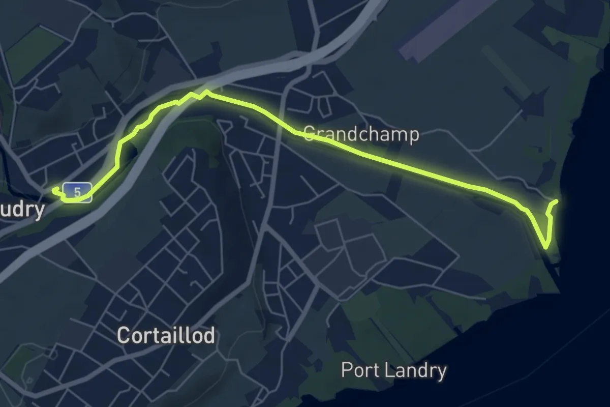
Easy · Trail
Boudry – Plage de Boudry
6.4 km · ↑ 35 m · 1 h 35 min · 14 km away
Medium · Trail
Chaumont Funiculaire – Les Trois Bornes
8.5 km · ↑ 288 m · 2 h 38 min · 14 km away