Trails near Liestal
459 hikes starting within 15 km, nearest first.
Nearest first, page 10 of 10
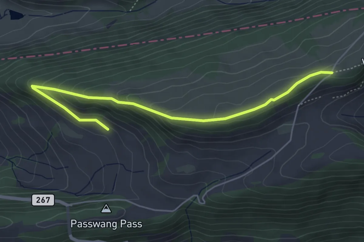
Easy · Trail
Passwang - fixme
5.1 km · ↑ 236 m · 1 h 43 min · 15 km away
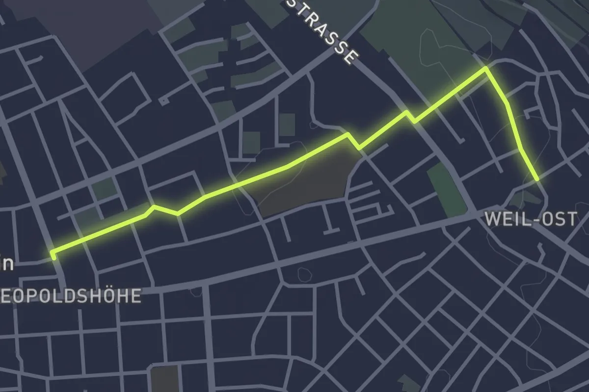
Easy · Trail
Weil am Rhein Messeplatz - Weil am Rhein Bläsiring
3.2 km · ↑ 4 m · 46 min · 15 km away
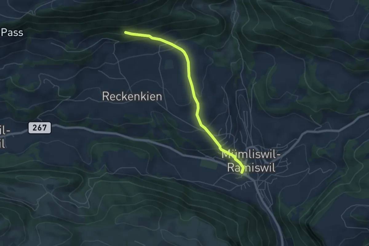
Easy · Trail
Rotisegg – Hauptstrasse Mümliswil
5.3 km · ↑ 305 m · 1 h 54 min · 15 km away
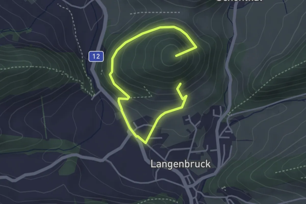
Easy · Summit
800 m - Ober Hauenstein
4.3 km · ↑ 266 m · 1 h 35 min · 15 km away
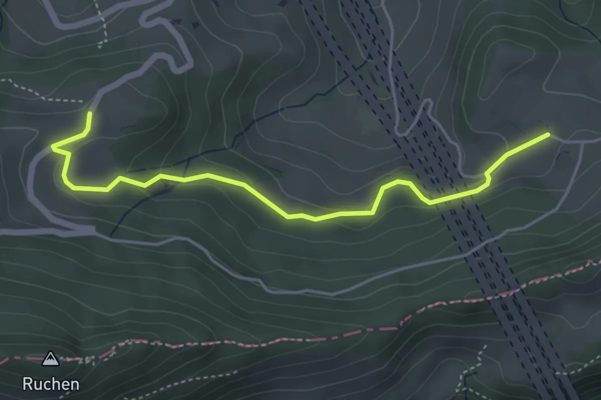
Easy · Trail
Chall – Oberbelchen
4.3 km · ↑ 140 m · 1 h 19 min · 15 km away
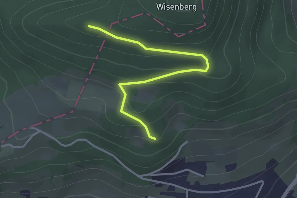
Easy · Trail
Wisenberg – Langacher
2.8 km · ↑ 128 m · 56 min · 15 km away
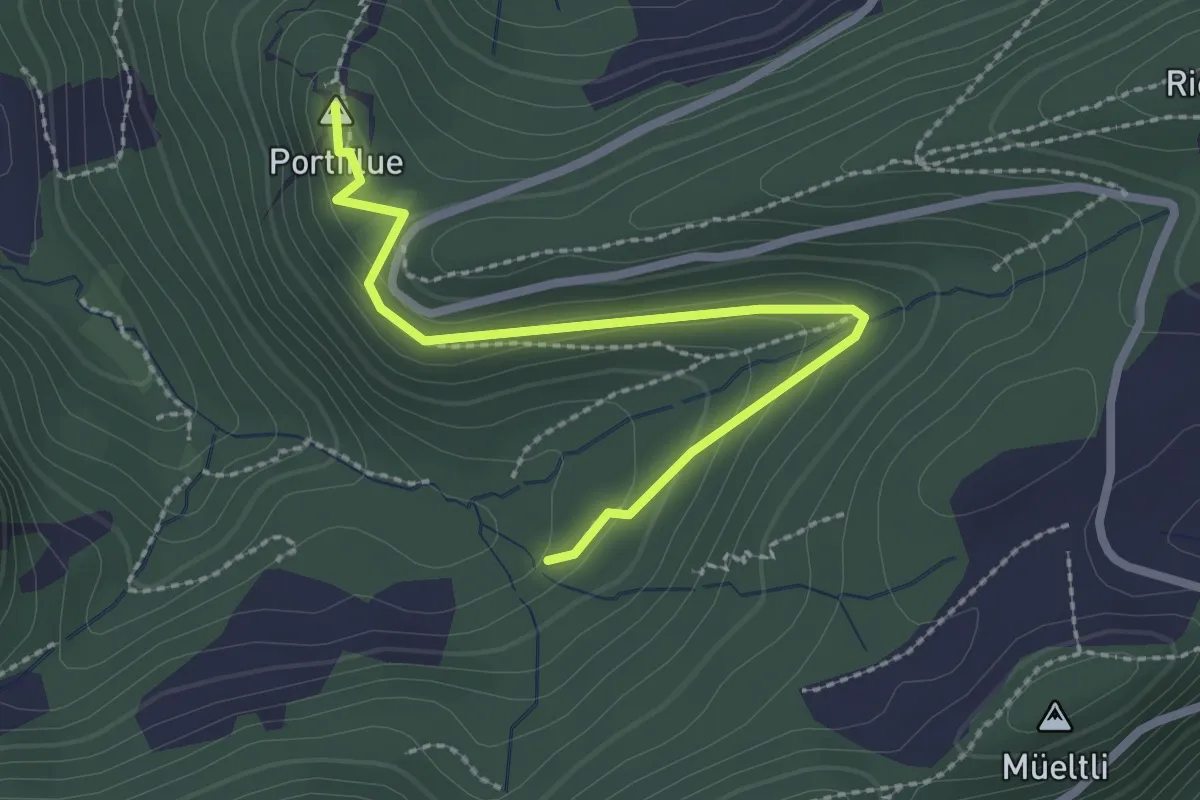
Medium · Summit
Foggel – Portiflue
2.5 km · ↑ 86 m · 47 min · 15 km away
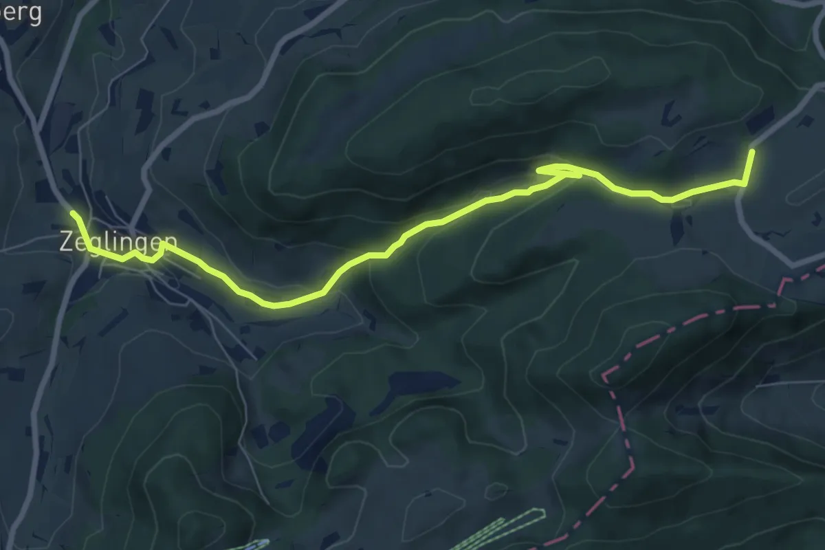
Easy · Trail
Schafmatt – Zeglingen
7.9 km · ↑ 301 m · 2 h 31 min · 15 km away
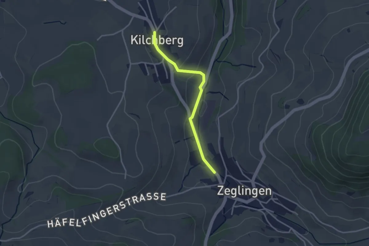
Easy · Trail
Zeglingen – Kilchberg
2.5 km · ↑ 68 m · 44 min · 15 km away
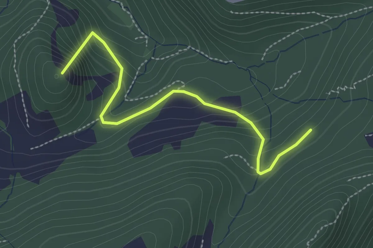
Easy · Summit
Schnäggenrein – Alt Sennhus
2.6 km · ↑ 186 m · 1 h 1 min · 15 km away
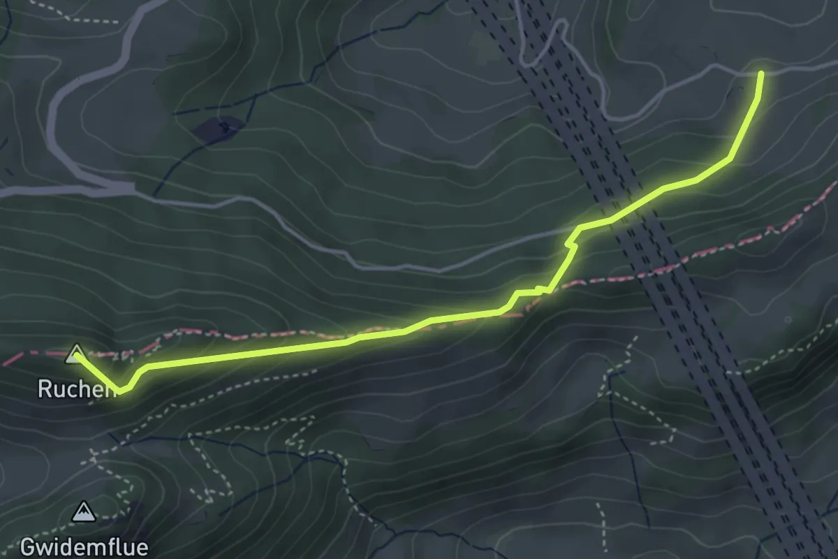
Easy · Summit
Belchen Süd - Chall
4.3 km · ↑ 291 m · 1 h 38 min · 15 km away
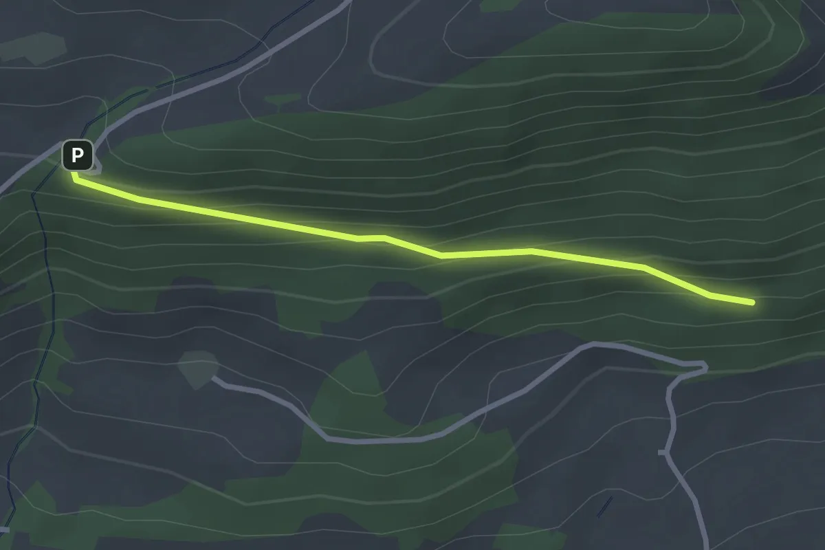
Easy · Trail
1001 - Rotisegg
2.5 km · ↑ 139 m · 54 min · 15 km away
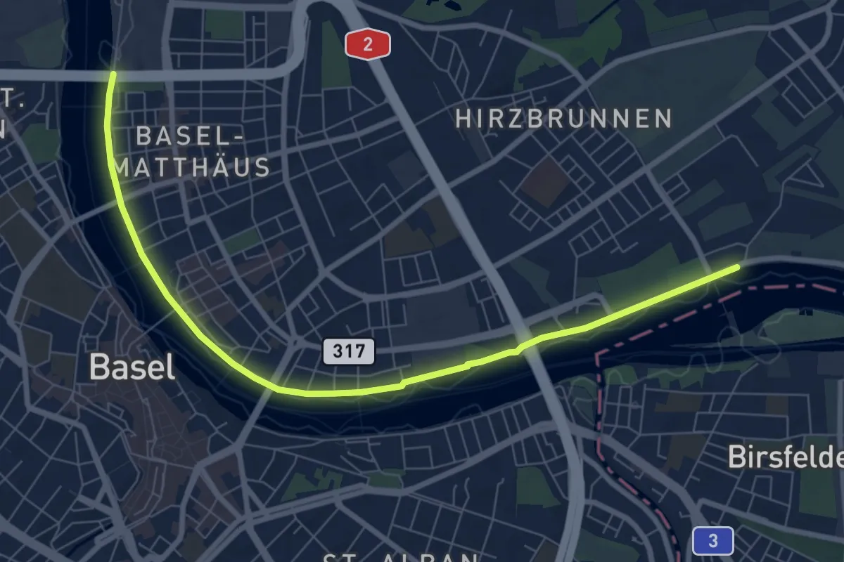
Medium · Trail
Rheinliebe-Weg
8.3 km · ↑ 25 m · 2 h 1 min · 15 km away
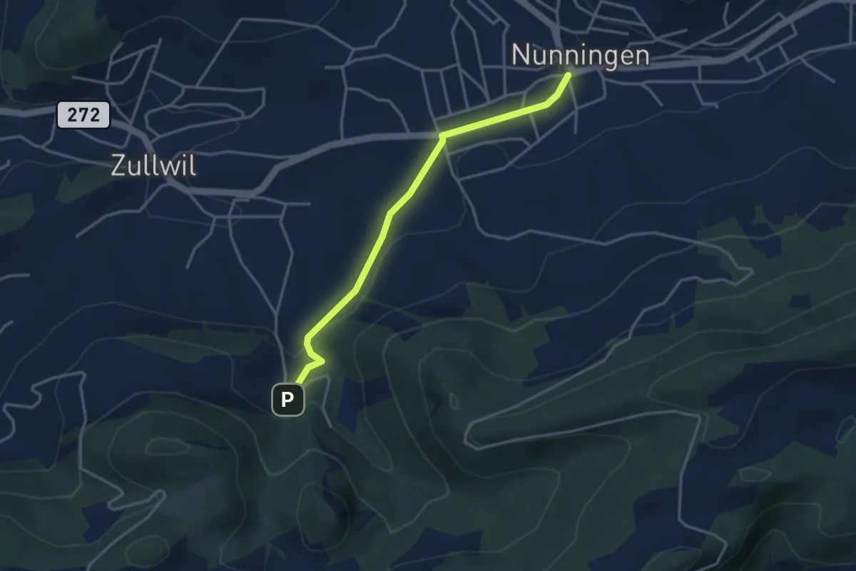
Easy · Trail
Nunningen Dorf – Gilgenberg
3.3 km · ↑ 88 m · 58 min · 15 km away
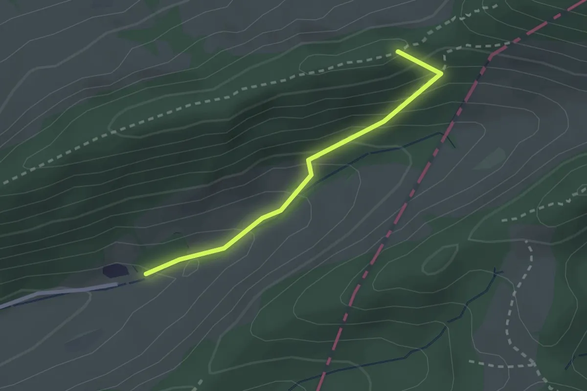
Medium · Summit
Chilchzimmersattel – Dürstel
2.1 km · ↑ 178 m · 53 min · 15 km away
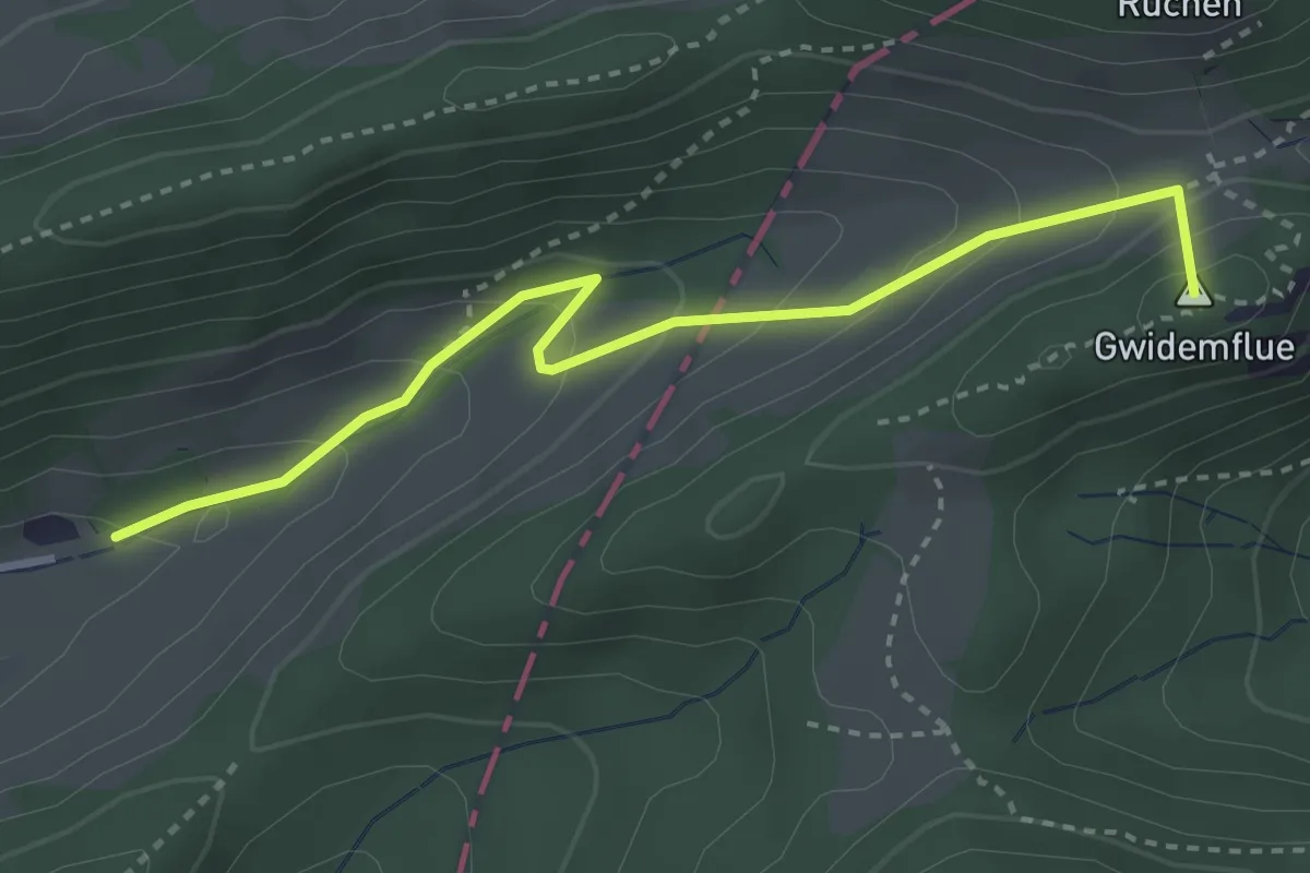
Easy · Summit
Gwidmenhöchi - Dürstel
3.3 km · ↑ 243 m · 1 h 19 min · 15 km away
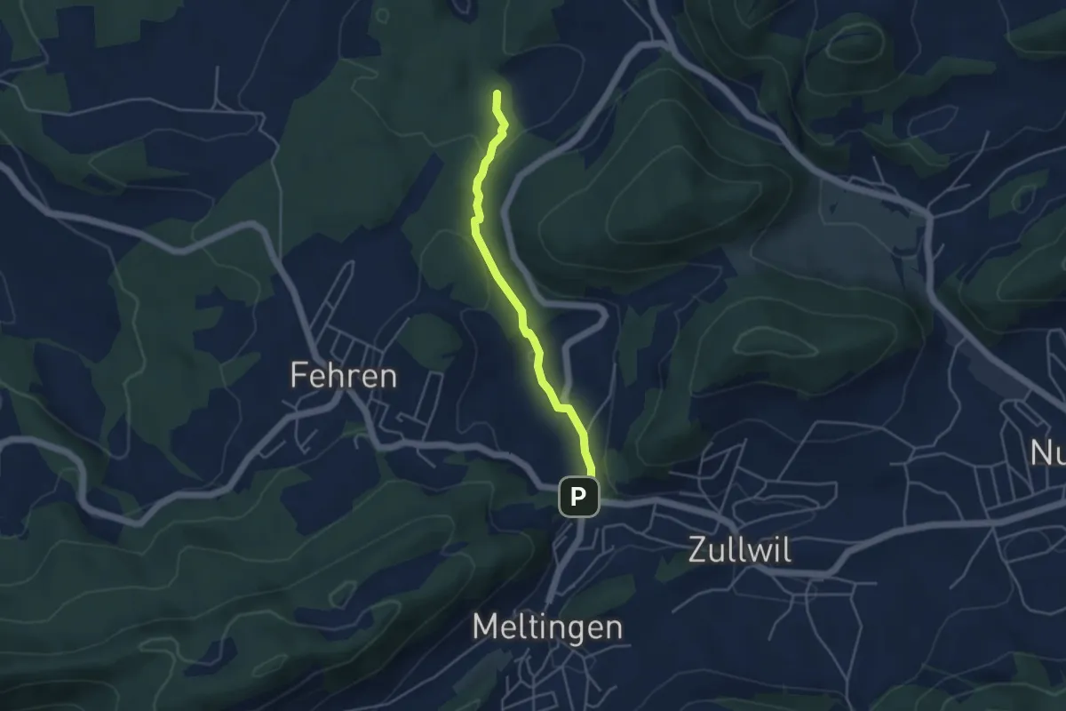
Easy · Trail
Meltingerbrücke – Ibach
3.7 km · ↑ 142 m · 1 h 11 min · 15 km away
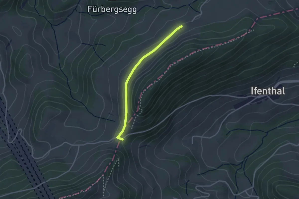
Easy · Trail
Challhöchi - Schmutzberg
2.4 km · ↑ 44 m · 40 min · 15 km away
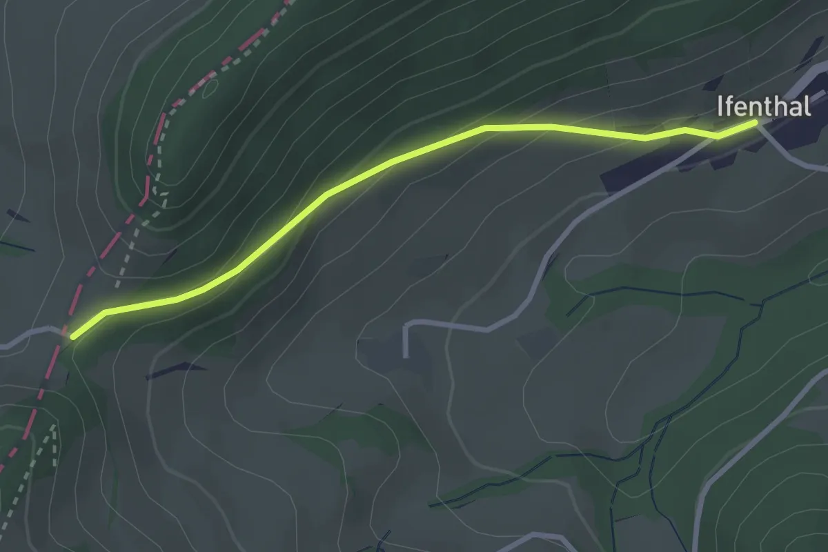
Easy · Trail
Challhöchi - Ifenthal
2.7 km · ↑ 147 m · 57 min · 15 km away
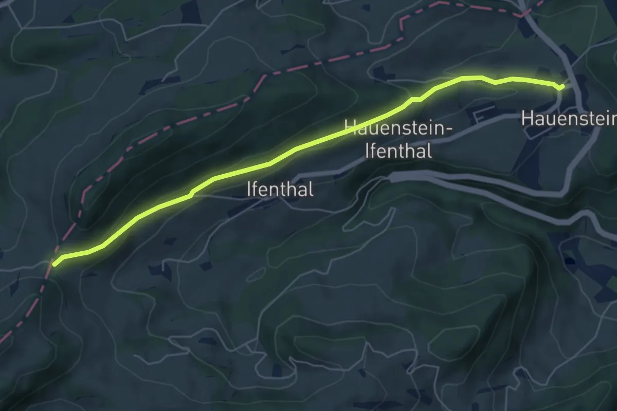
Easy · Trail
Hauenstein - Challhöchi
6.1 km · ↑ 207 m · 1 h 53 min · 15 km away
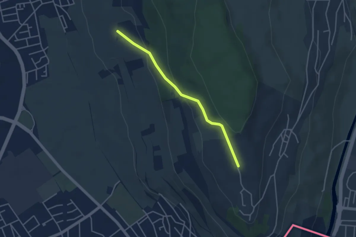
Easy · Trail
Tüllinger Weg - Tüllingen Lindenplatz
3.0 km · ↑ 114 m · 58 min · 15 km away
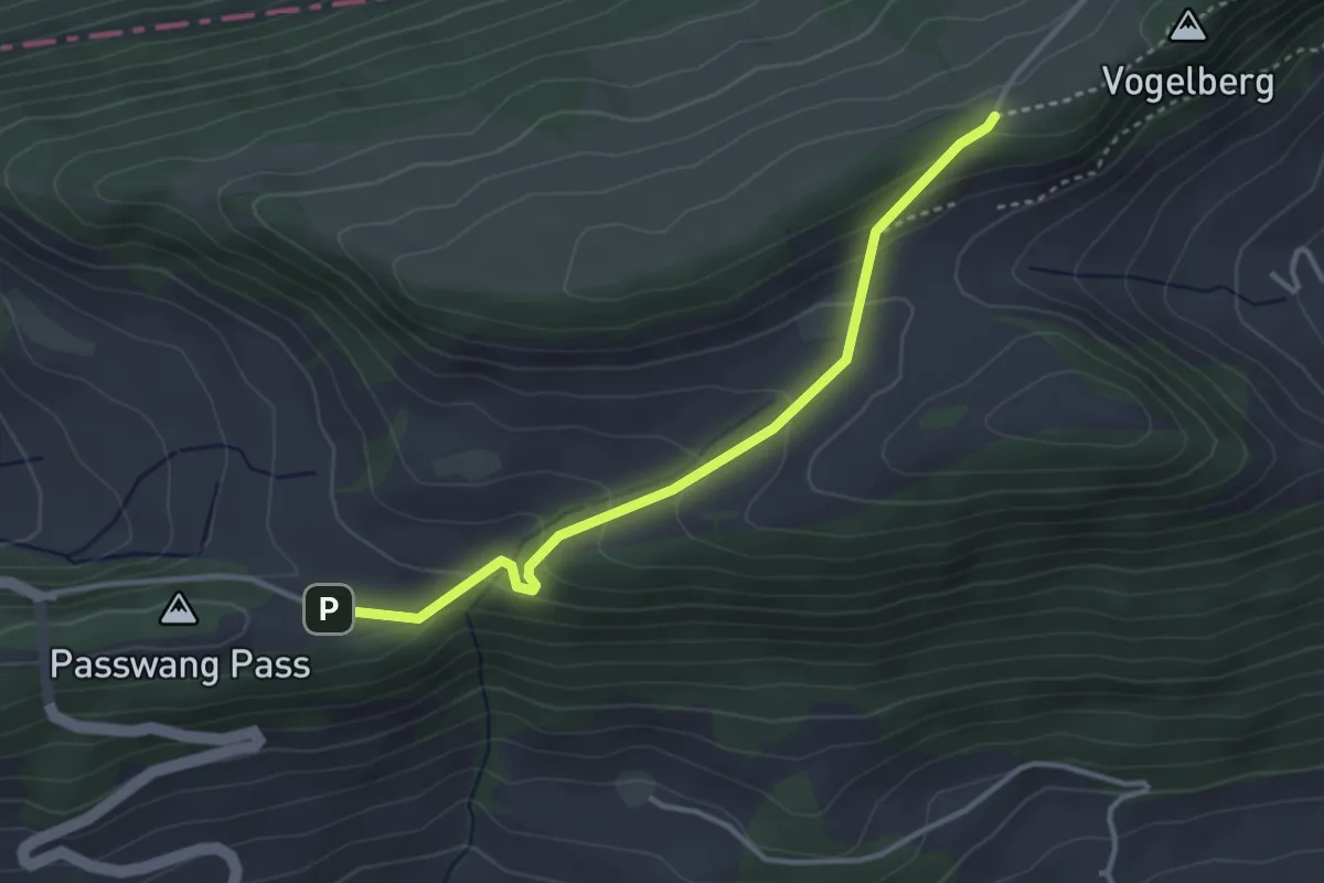
Easy · Trail
1001 - Passwang
3.3 km · ↑ 182 m · 1 h 11 min · 15 km away
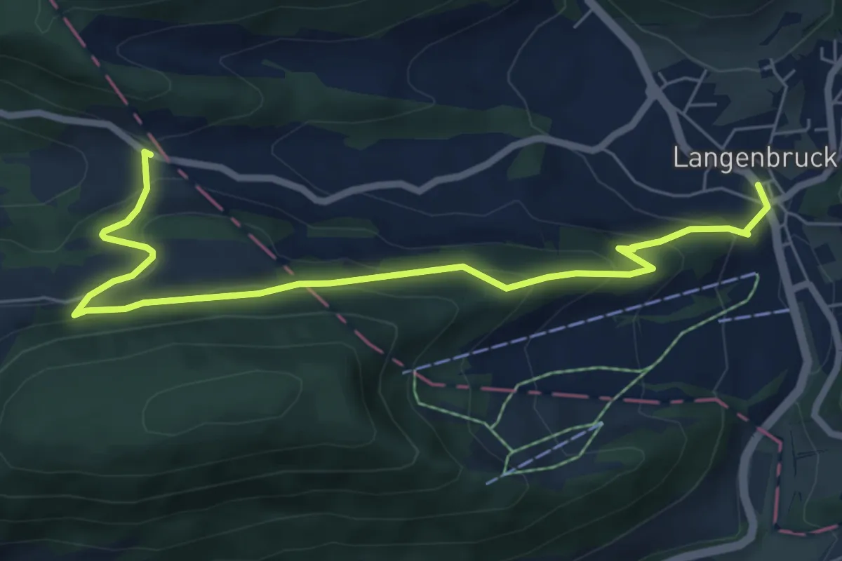
Medium · Trail
Breitenhöchi - Langenbruck
7.1 km · ↑ 416 m · 2 h 35 min · 15 km away
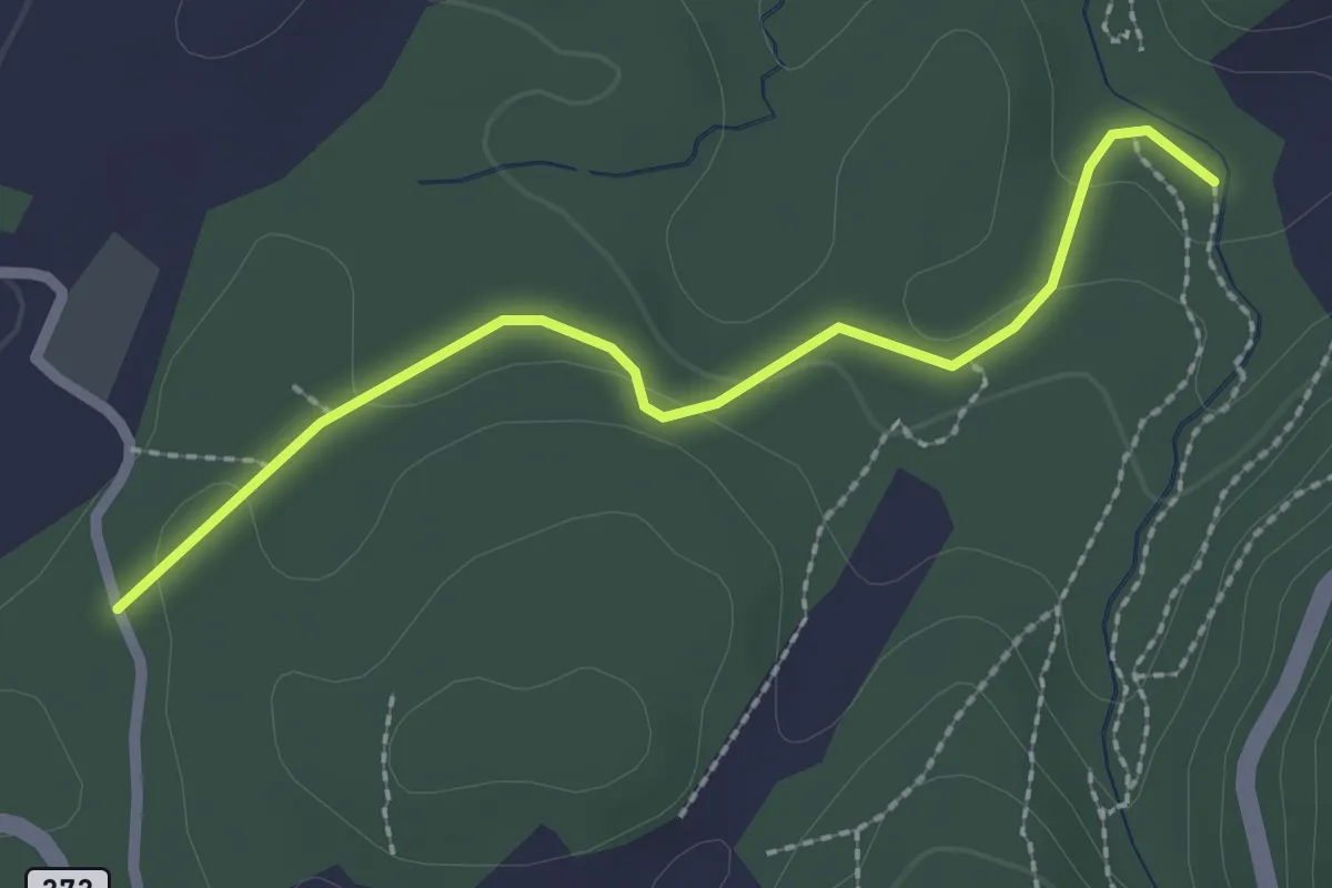
Easy · Trail
Ibach – Breitenbach?
2.3 km · ↑ 48 m · 39 min · 15 km away
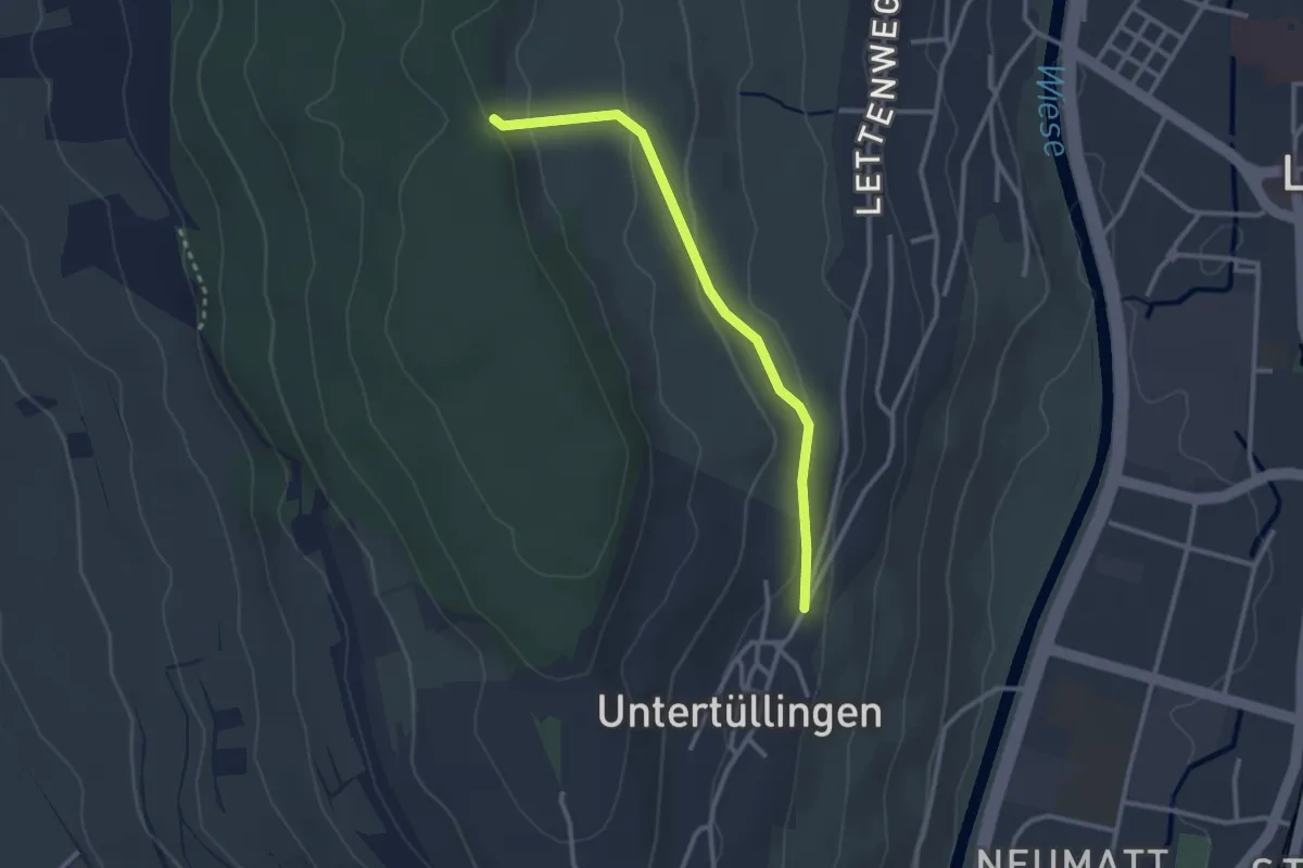
Easy · Trail
Käferholz - Tüllingen Hornbrunnenweg
2.7 km · ↑ 81 m · 48 min · 15 km away
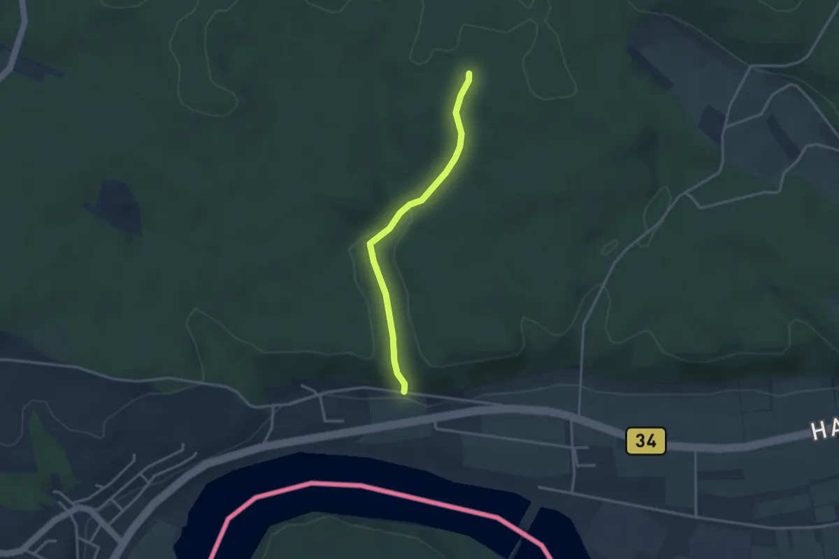
Easy · Trail
Bettlerkuchi - Fellenbühl
2.8 km · ↑ 89 m · 51 min · 15 km away
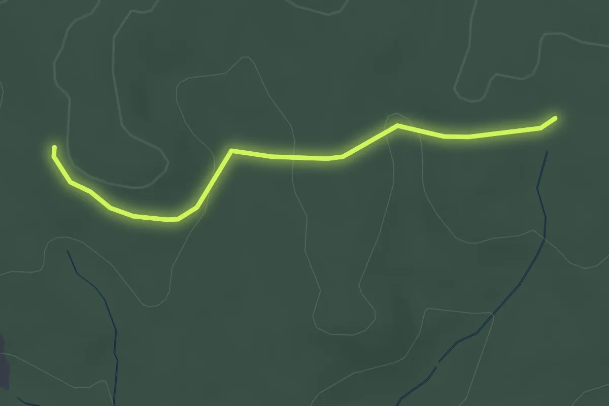
Easy · Trail
Holzacker - Fellenbühl
2.6 km · ↑ 60 m · 45 min · 15 km away