Trails near Locarno
275 hikes starting within 15 km, nearest first.
Nearest first, page 1 of 6
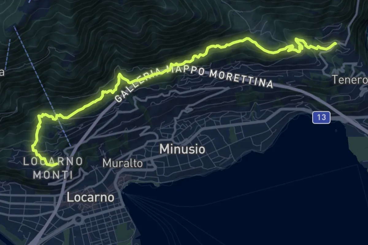
Demanding · Trail
Sentiero Collina Alta
13.3 km · ↑ 932 m · 5 h 10 min · 1 km away
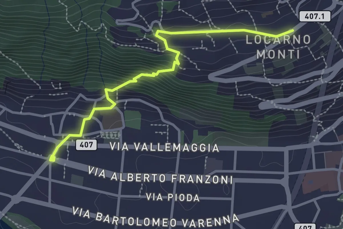
Medium · Trail
Monti della Trinità – Solduno
3.0 km · ↑ 213 m · 1 h 11 min · 1 km away
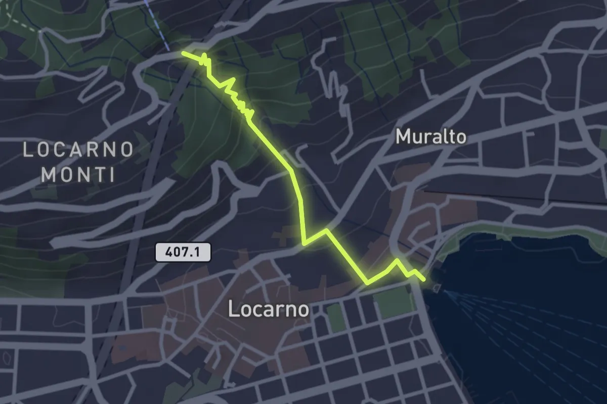
Easy · Trail
Locarno debarcadero – Orselina
2.6 km · ↑ 189 m · 1 h 2 min · 1 km away
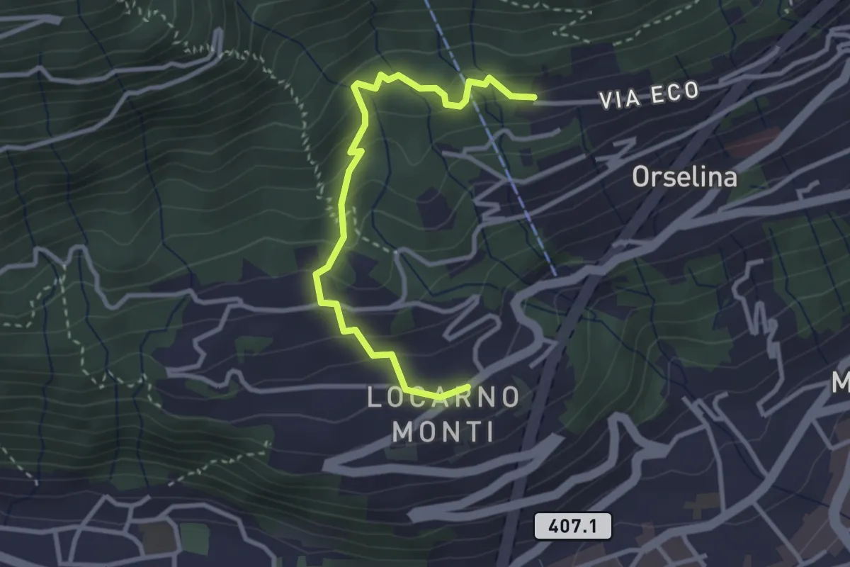
Easy · Trail
Monti della Trinità - Via Eco
3.0 km · ↑ 246 m · 1 h 15 min · 1 km away
Demanding · Summit
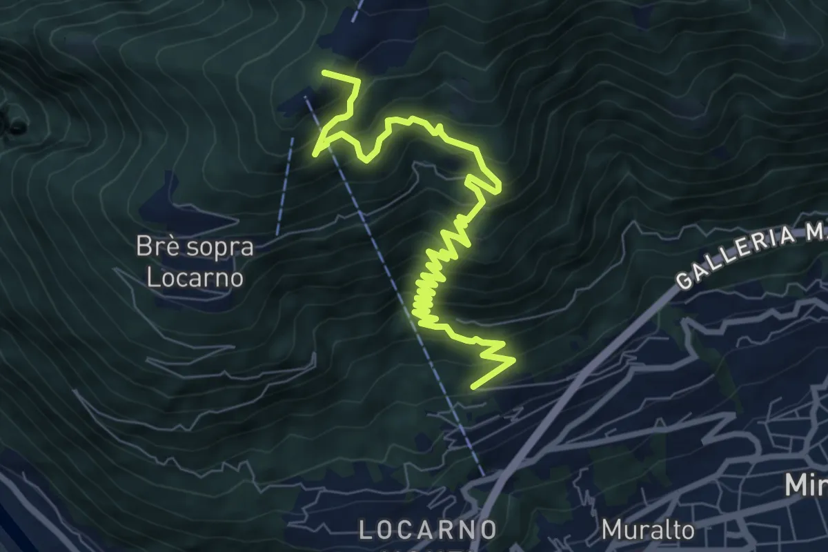
Via Eco - Cardad
9.4 km · ↑ 917 m · 4 h 12 min · 1 km away
Easy · Trail
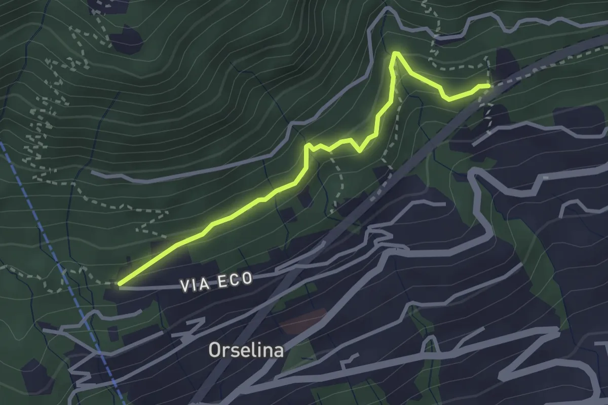
Via Eco - Ronco di Bosco
2.8 km · ↑ 206 m · 1 h 6 min · 1 km away
Easy · Trail
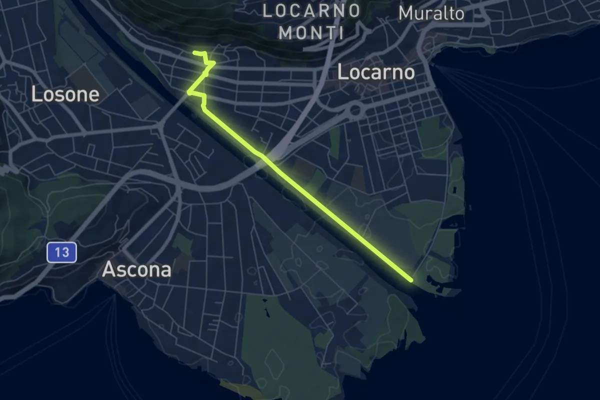
Maggia Delta Solduno
5.9 km · ↑ 42 m · 1 h 29 min · 1 km away
Easy · Trail
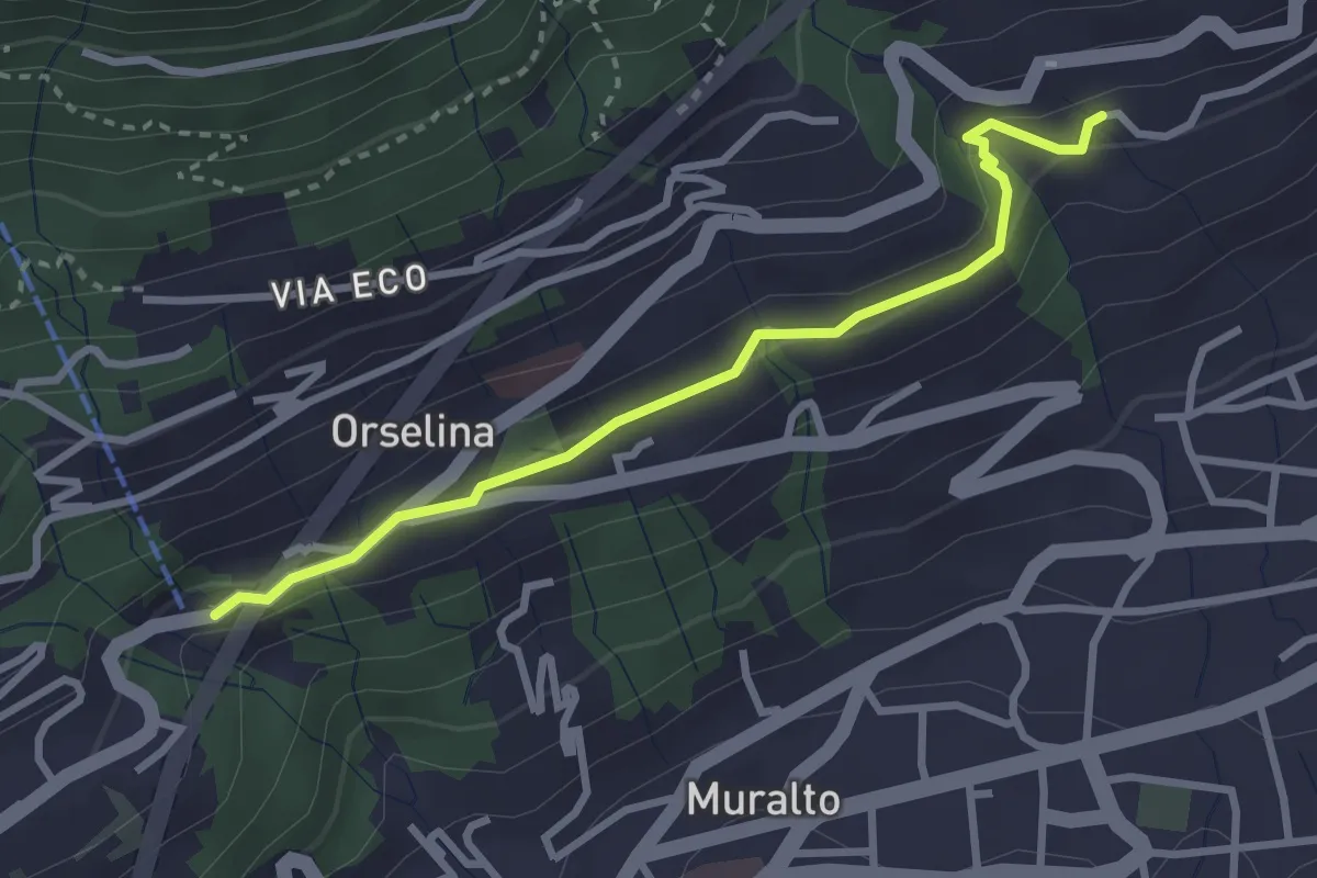
Orselina – ?
3.0 km · ↑ 111 m · 56 min · 2 km away
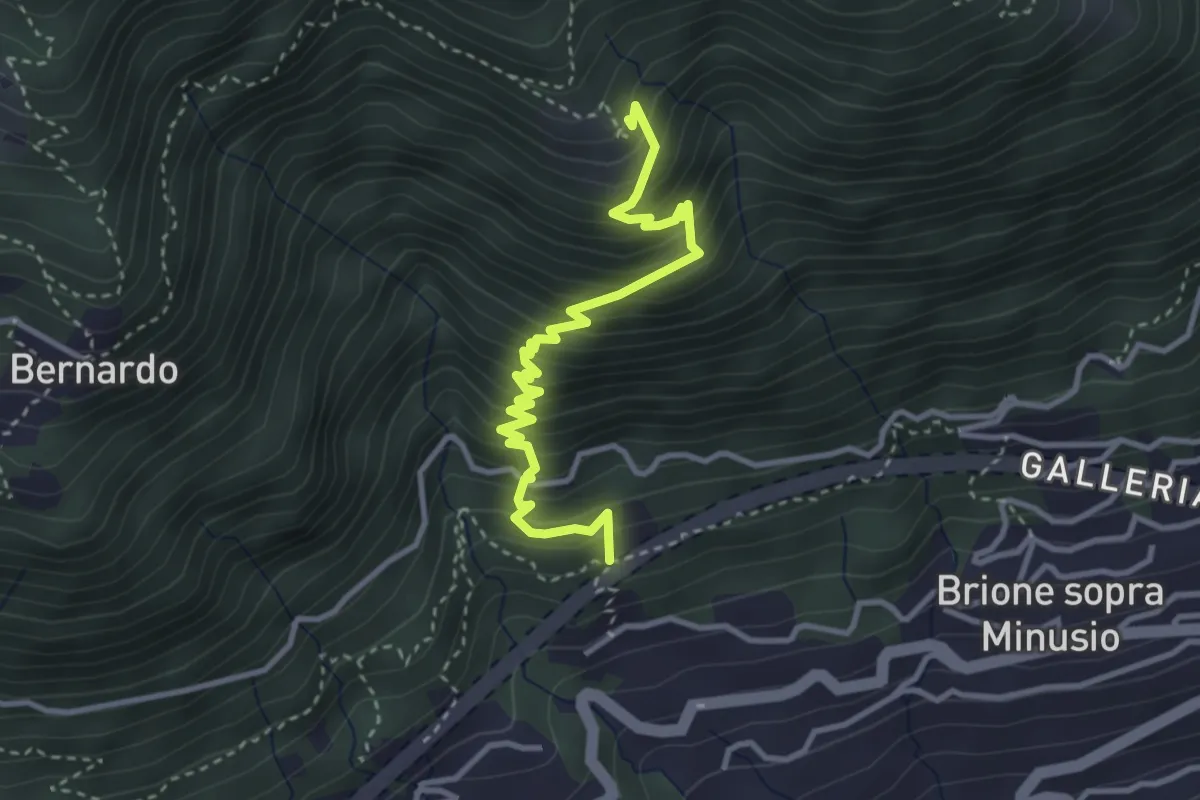
Medium · Trail
Ronco di Bosco - ?
3.6 km · ↑ 476 m · 1 h 53 min · 2 km away
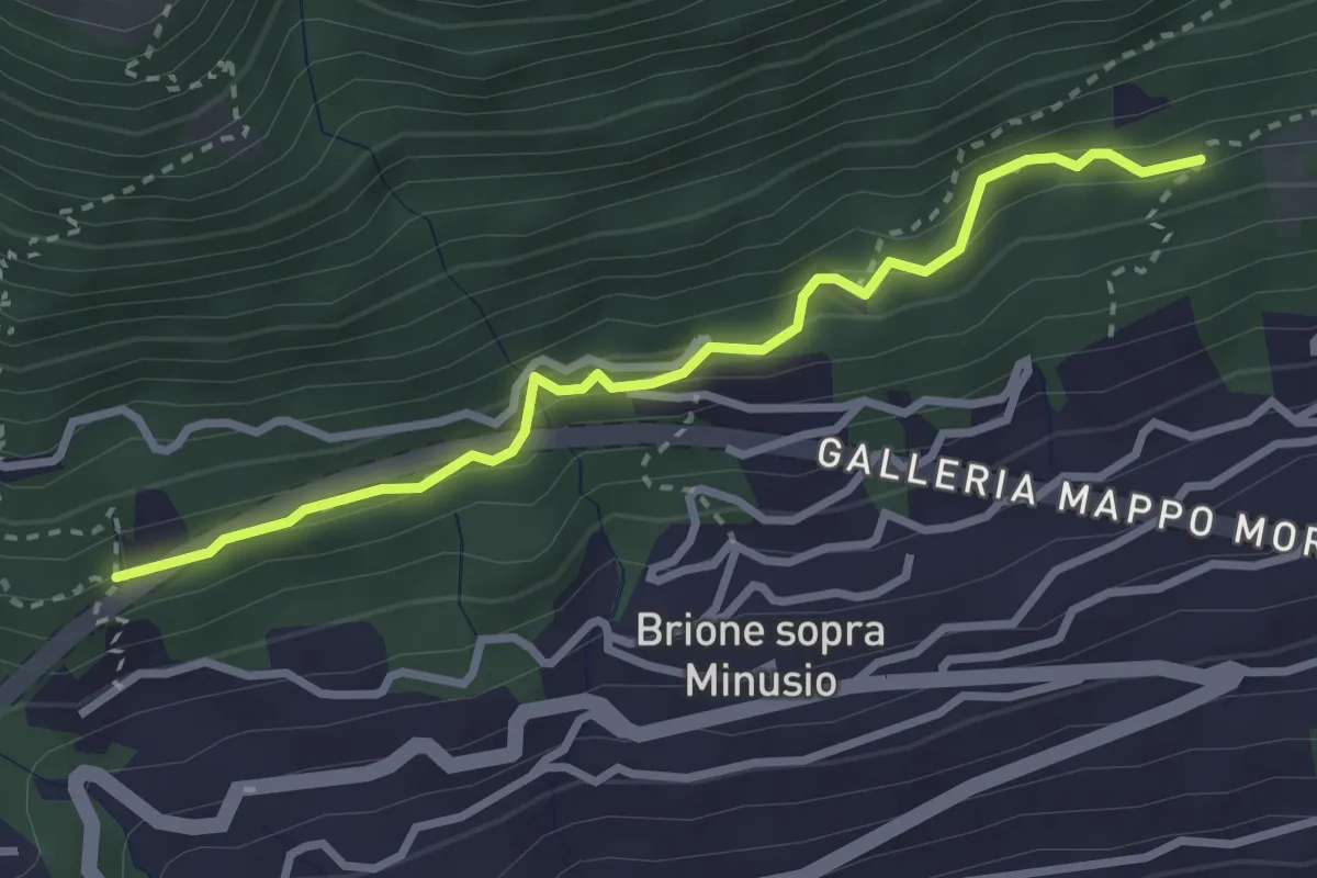
Easy · Trail
Ronco di Bosco - Capella rota
3.0 km · ↑ 162 m · 1 h 4 min · 2 km away
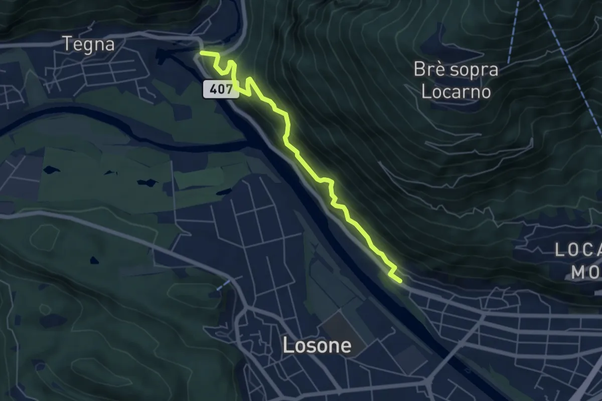
Medium · Trail
Ponte Brolla-Solduno S. Martino
5.4 km · ↑ 451 m · 2 h 15 min · 2 km away
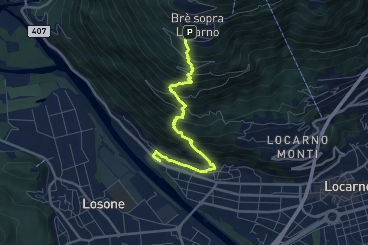
Medium · Trail
Solduno S. Martino-Brè
6.1 km · ↑ 778 m · 3 h 7 min · 2 km away
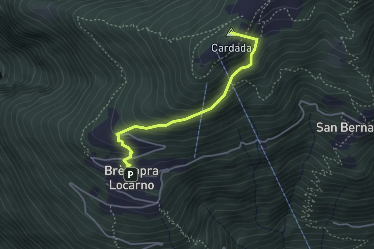
Medium · Summit
Brè-Cardada
3.1 km · ↑ 318 m · 1 h 26 min · 2 km away
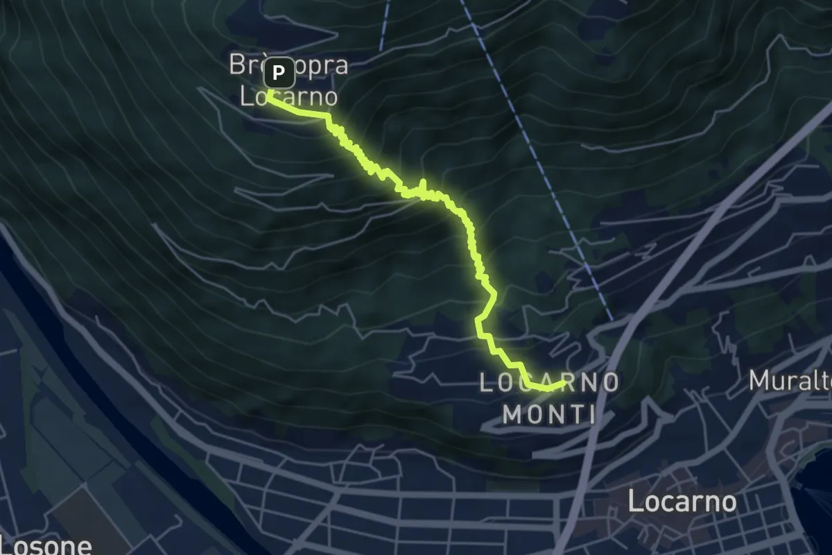
Medium · Trail
Monti della Trinità - Brè
5.5 km · ↑ 624 m · 2 h 38 min · 2 km away
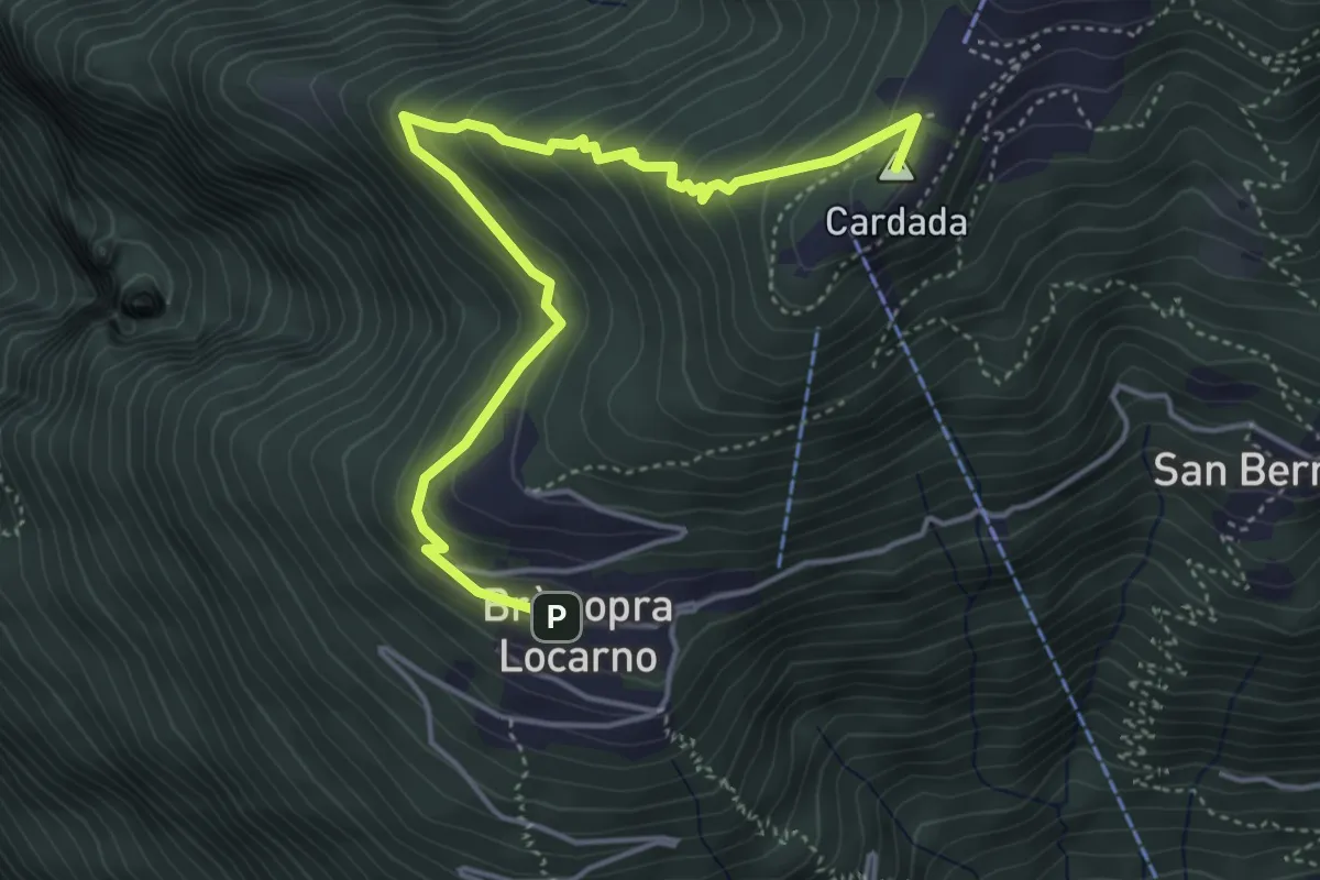
Medium · Summit
Brè-Cardada
5.0 km · ↑ 345 m · 1 h 56 min · 2 km away
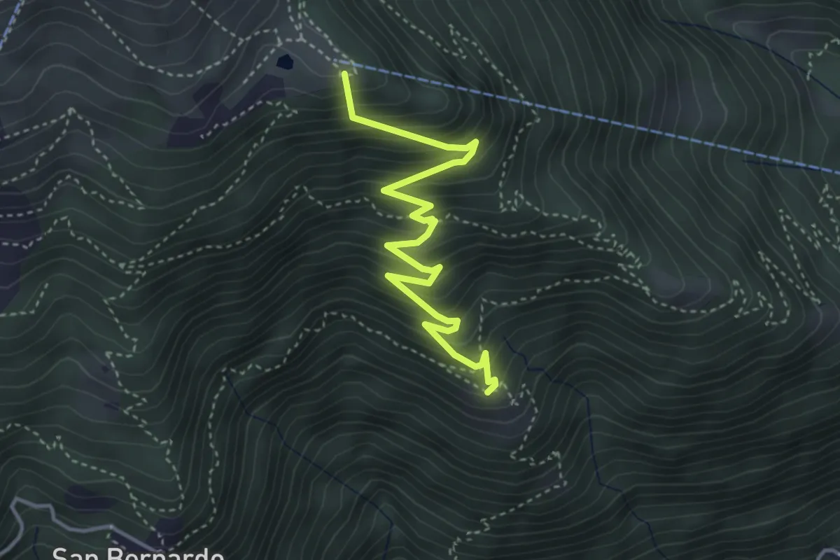
Medium · Summit
Cordonico-Alpe Cardada
4.1 km · ↑ 462 m · 1 h 58 min · 2 km away
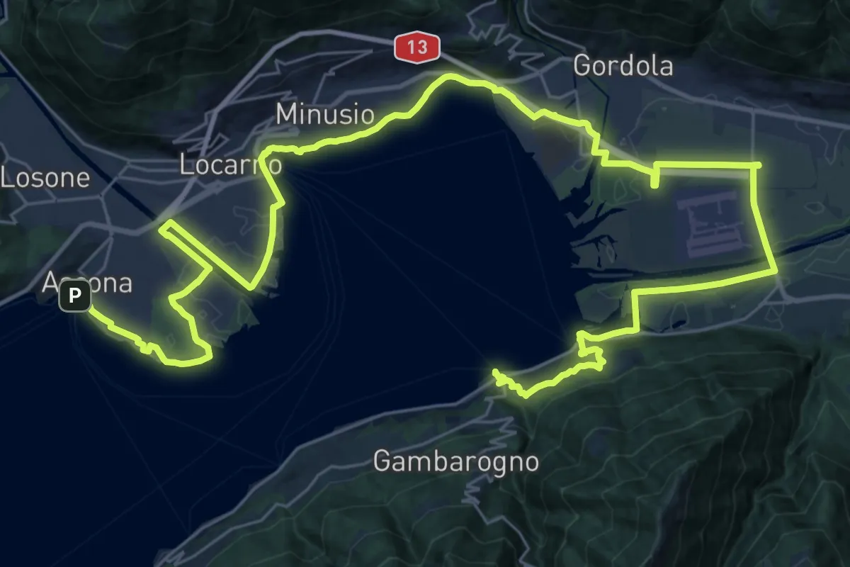
Demanding · Trail
Cammino del Lago Maggiore
24.2 km · ↑ 207 m · 6 h 29 min · 3 km away
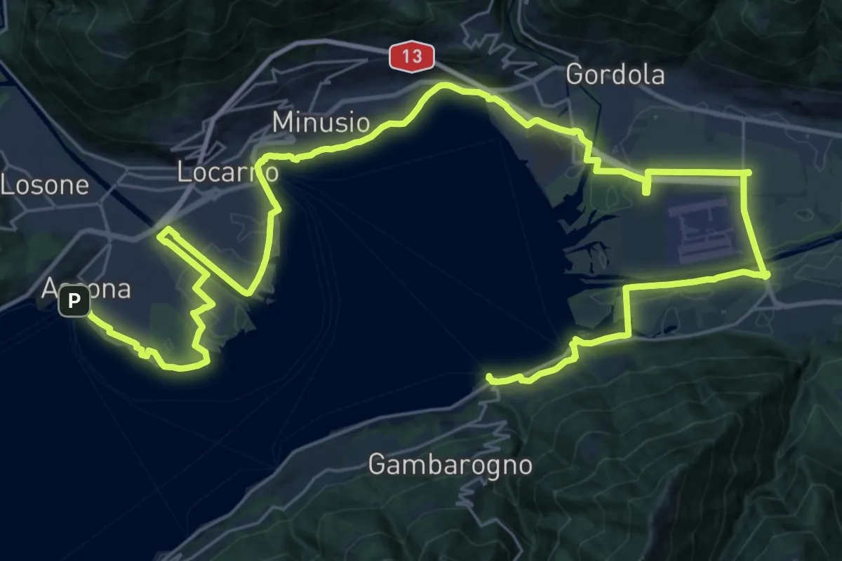
Demanding · Trail
Grand Tour del Lago Maggiore ® - Tappa 9 - Vira Gambarogno (CH) - Ascona (CH)
23.3 km · ↑ 99 m · 6 h 3 min · 3 km away
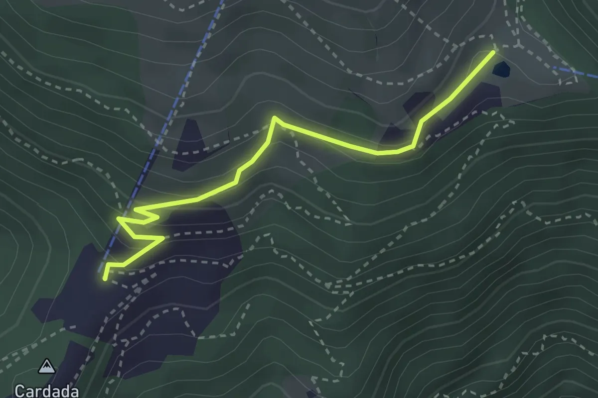
Medium · Trail
Alpe Cardada - Cardada Colmanicchio
3.0 km · ↑ 181 m · 1 h 6 min · 3 km away
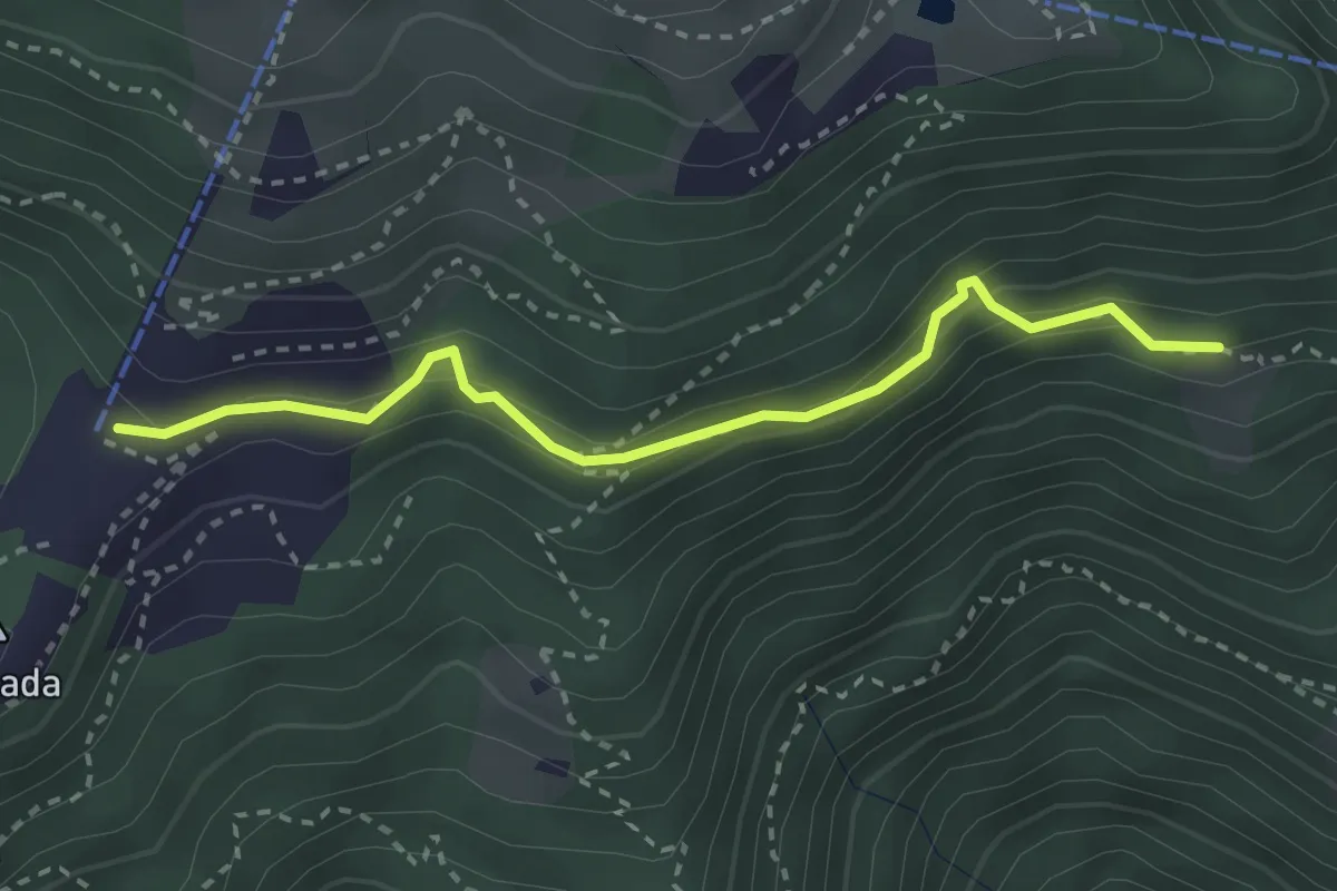
Easy · Trail
Cardada Colmanicchio - Chiodo
2.9 km · ↑ 210 m · 1 h 8 min · 3 km away
Medium · Trail
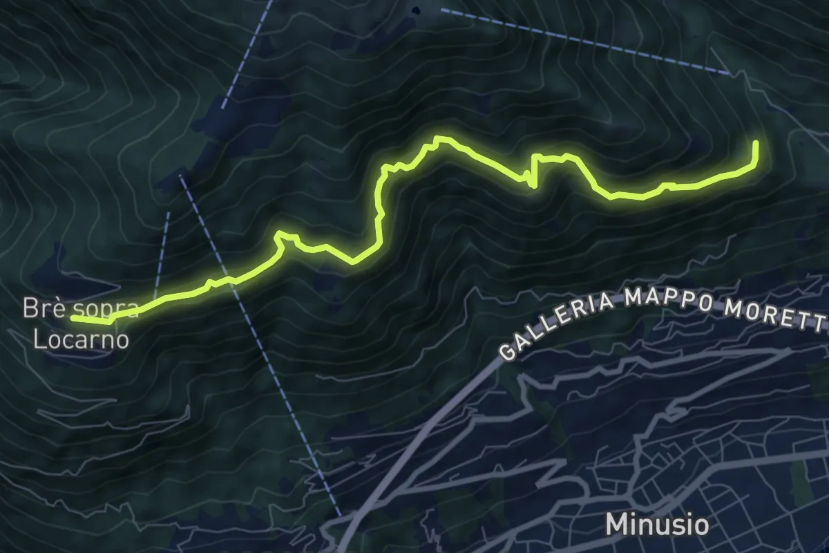
Brè-Viona
9.2 km · ↑ 709 m · 3 h 42 min · 3 km away
Medium · Cabin
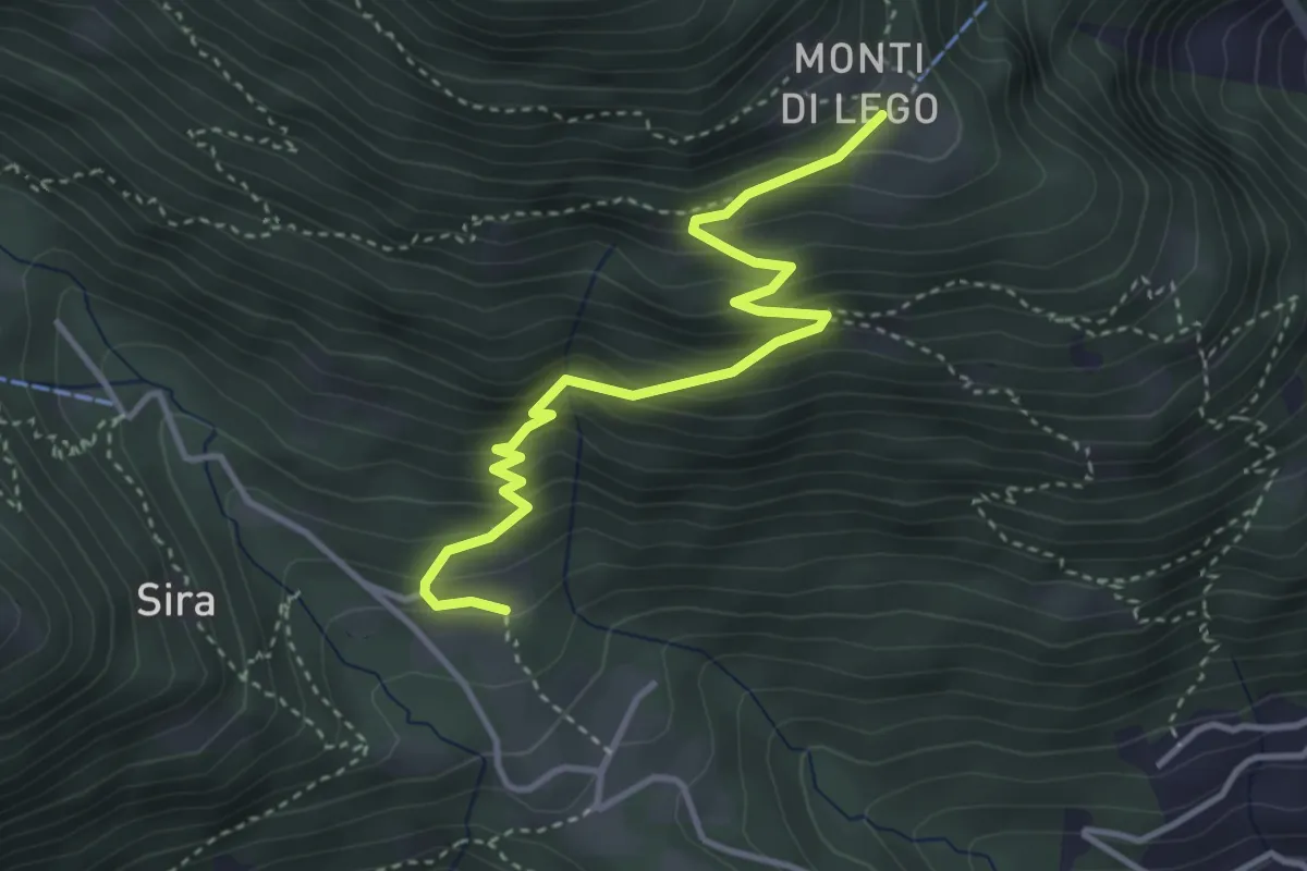
Viona - Monti di Lego
3.9 km · ↑ 378 m · 1 h 44 min · 3 km away
Demanding · Summit
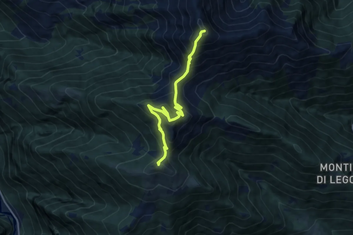
Cimetta – Alpe Nimi r
9.4 km · ↑ 945 m · 4 h 16 min · 4 km away
Expert · Summit
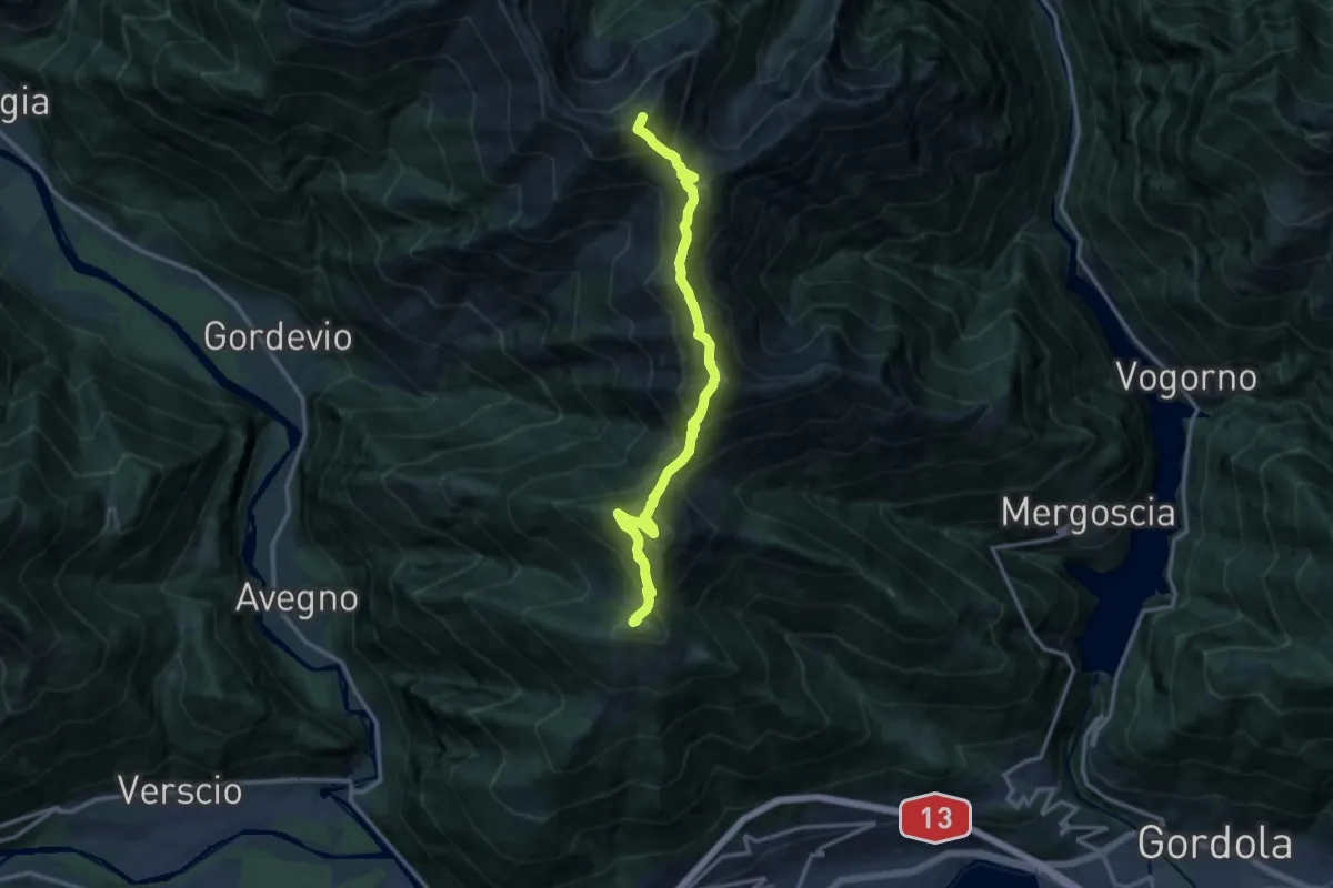
01 - Cimetta - Capanna Nimi
13.7 km · ↑ 1529 m · 6 h 33 min · 4 km away
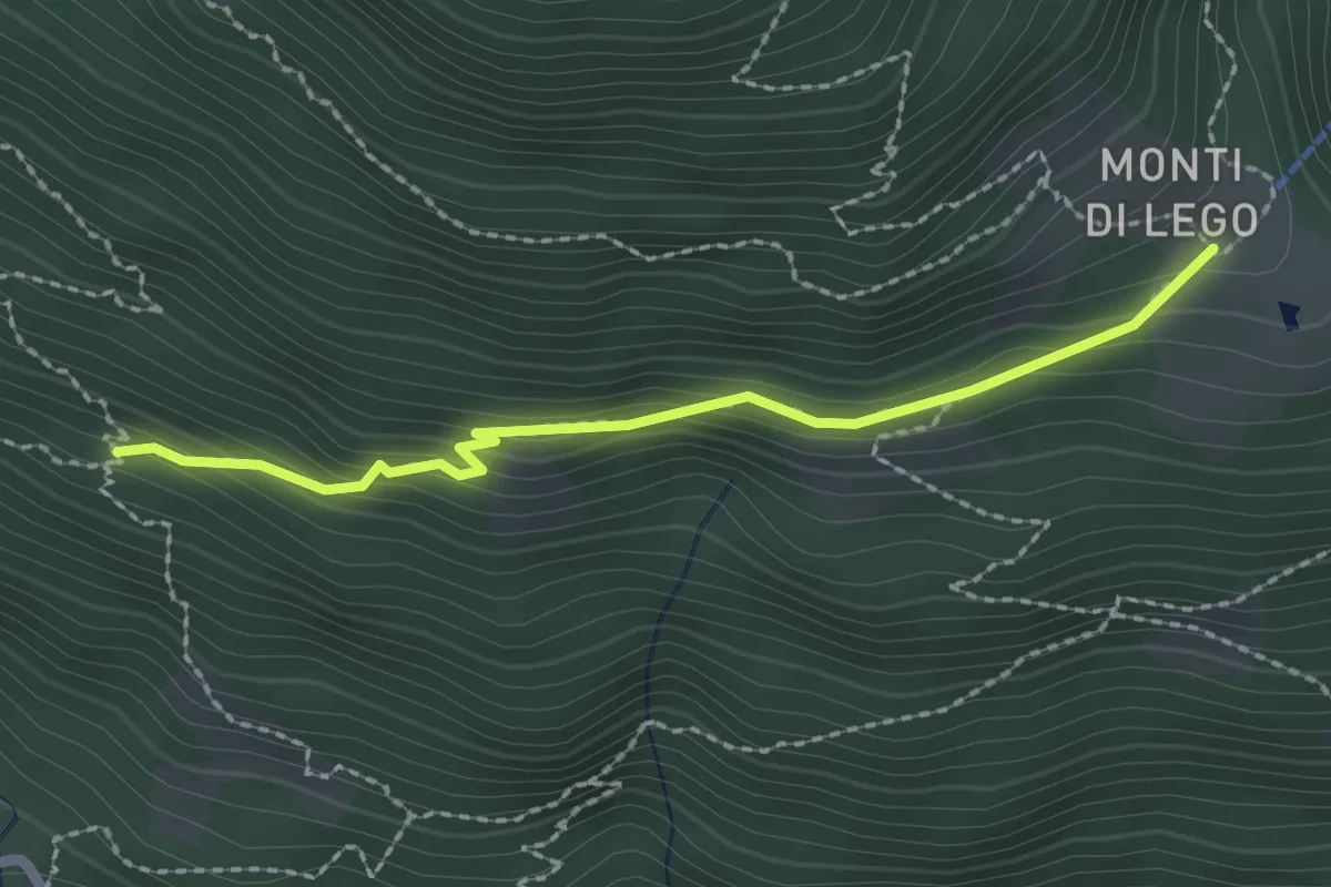
Medium · Cabin
Monti di Lego - ?
2.1 km · ↑ 144 m · 49 min · 4 km away
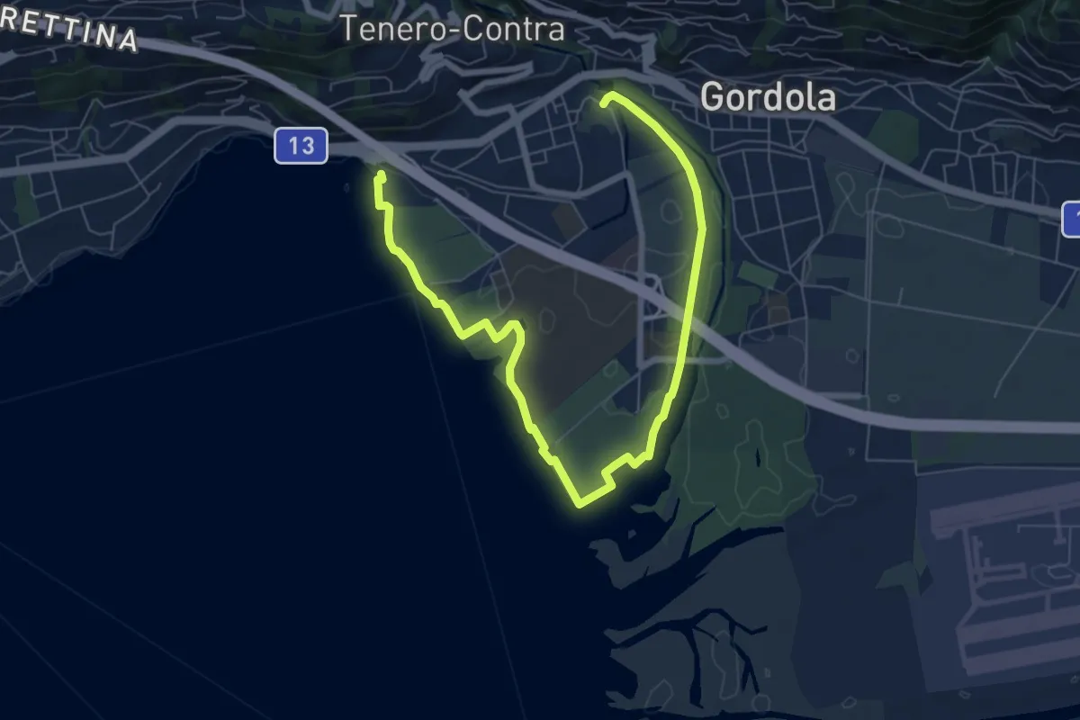
Medium · Trail
Sentiero delle Rive
9.0 km · ↑ 25 m · 2 h 10 min · 4 km away
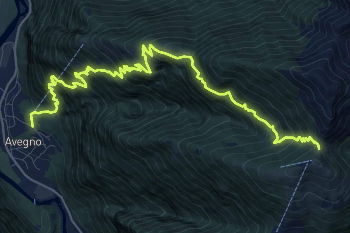
Demanding · Trail
Avegno Bassa di Cimetta
14.5 km · ↑ 1452 m · 6 h 33 min · 4 km away
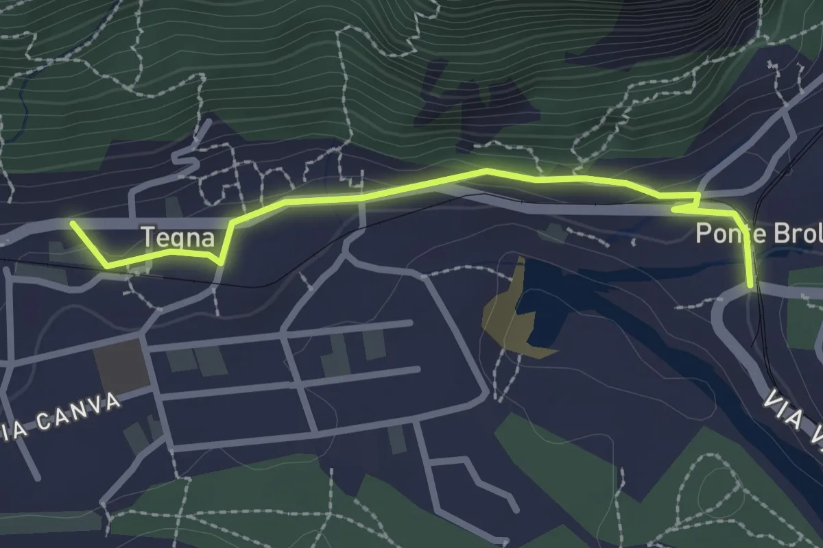
Easy · Trail
Ponte Brolla – Tegna
2.3 km · ↑ 71 m · 42 min · 4 km away
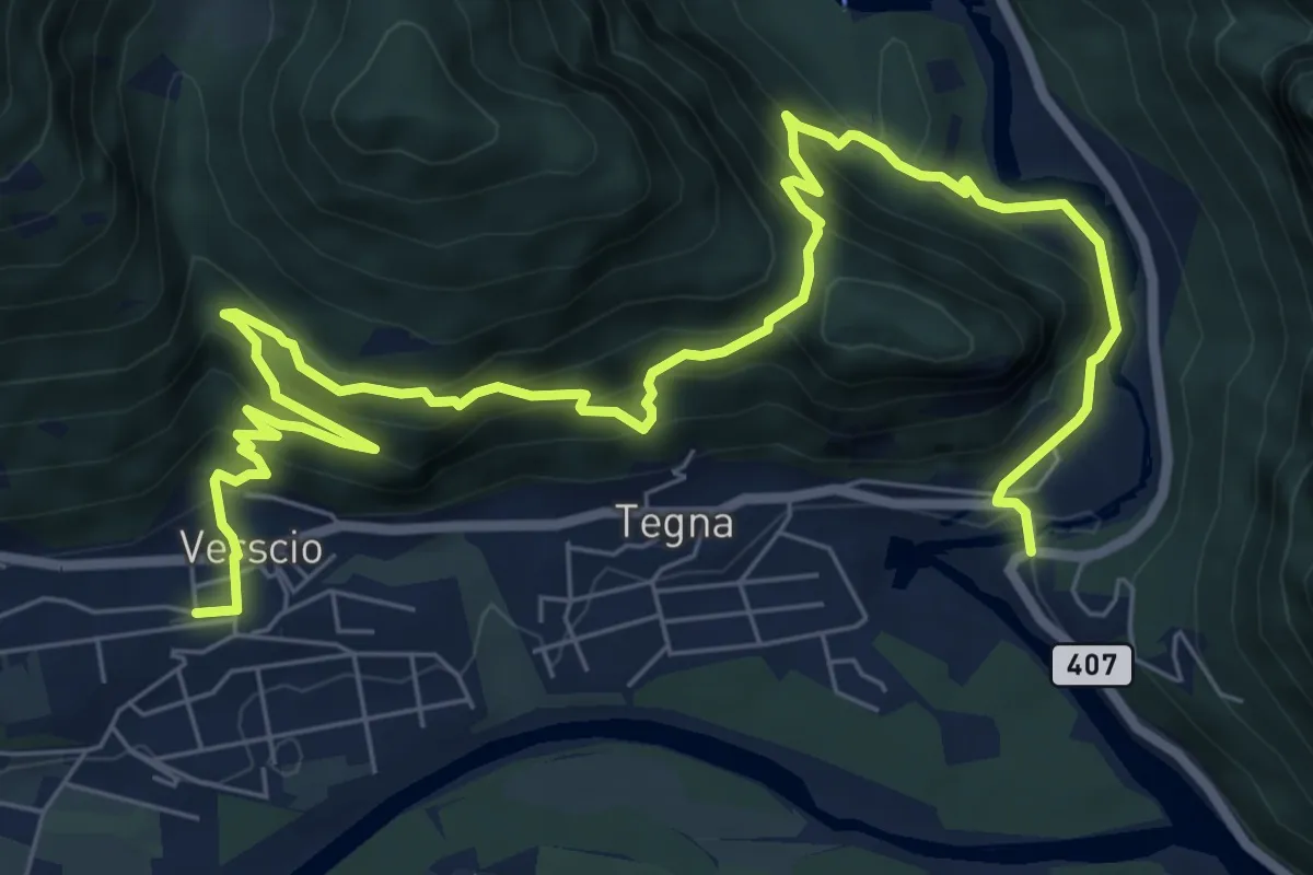
Demanding · Trail
Giro delle Rovine del Castelliere
10.8 km · ↑ 828 m · 4 h 21 min · 4 km away
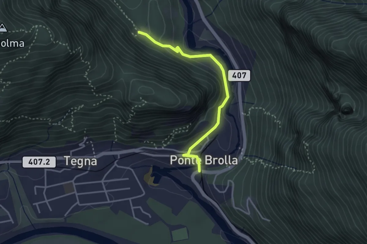
Medium · Trail
Gropp – Ponte Brolla
3.1 km · ↑ 142 m · 1 h 2 min · 4 km away
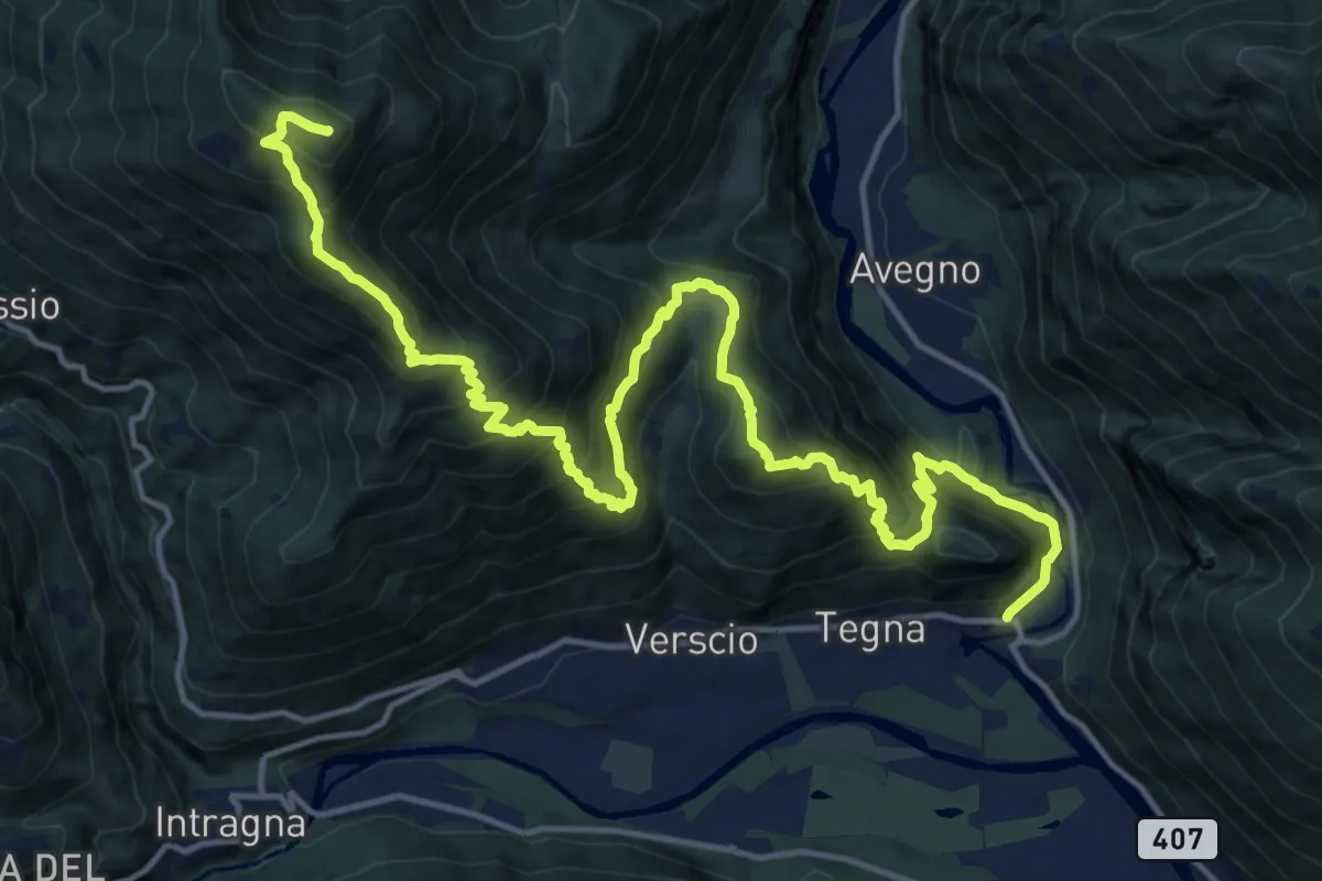
Demanding · Summit
17 - Salmone - Ponte Brolla
20.1 km · ↑ 1886 m · 8 h 50 min · 4 km away
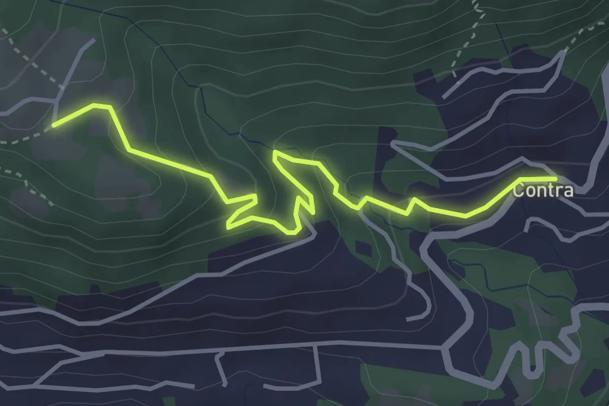
Easy · Trail
Tendrasca - Contra
3.7 km · ↑ 261 m · 1 h 26 min · 4 km away
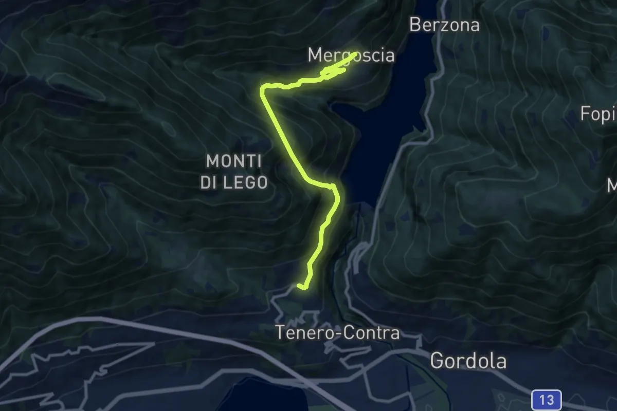
Demanding · Trail
Contra
8.5 km · ↑ 1027 m · 4 h 14 min · 4 km away
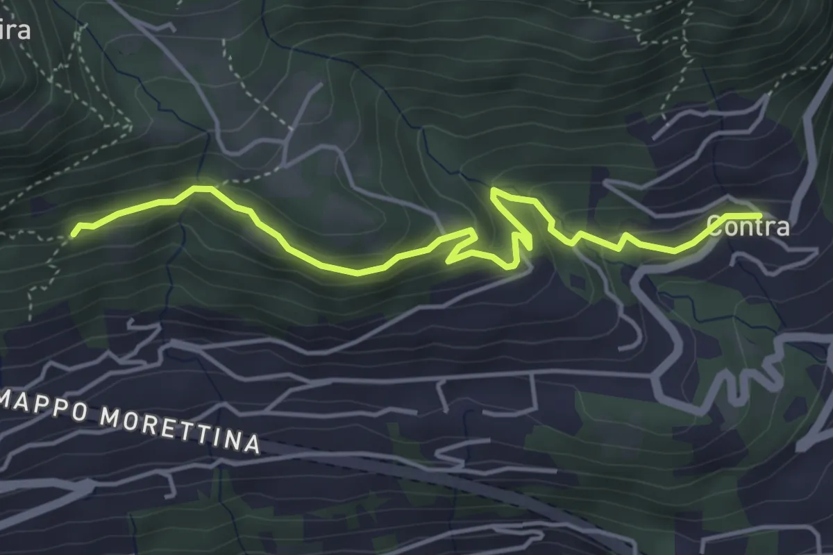
Easy · Trail
Capela rota - Contra
4.6 km · ↑ 256 m · 1 h 39 min · 4 km away
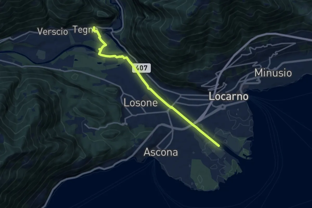
Medium · Trail
Maggia Delta Tegna
11.2 km · ↑ 78 m · 2 h 48 min · 4 km away
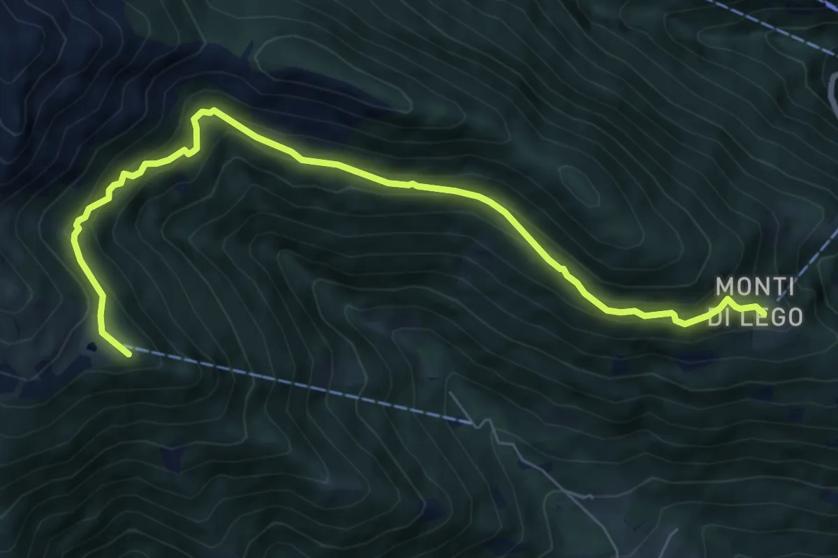
Medium · Summit
Monti di Lego-Alpe Cardada
8.0 km · ↑ 564 m · 3 h 7 min · 4 km away
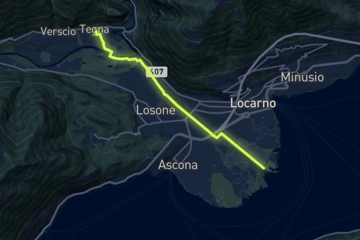
Medium · Trail
Astrovia Locarno
12.1 km · ↑ 59 m · 3 h · 4 km away
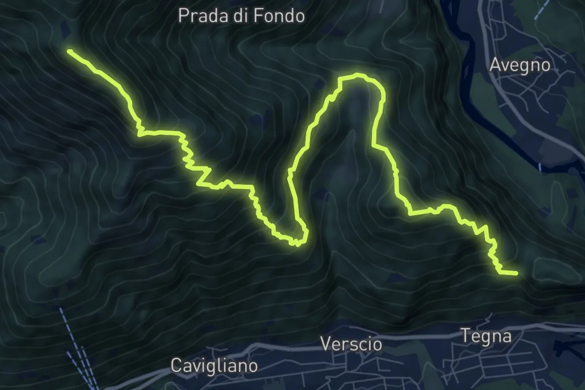
Demanding · Summit
Salmone – Forcola
13.7 km · ↑ 1469 m · 6 h 25 min · 4 km away
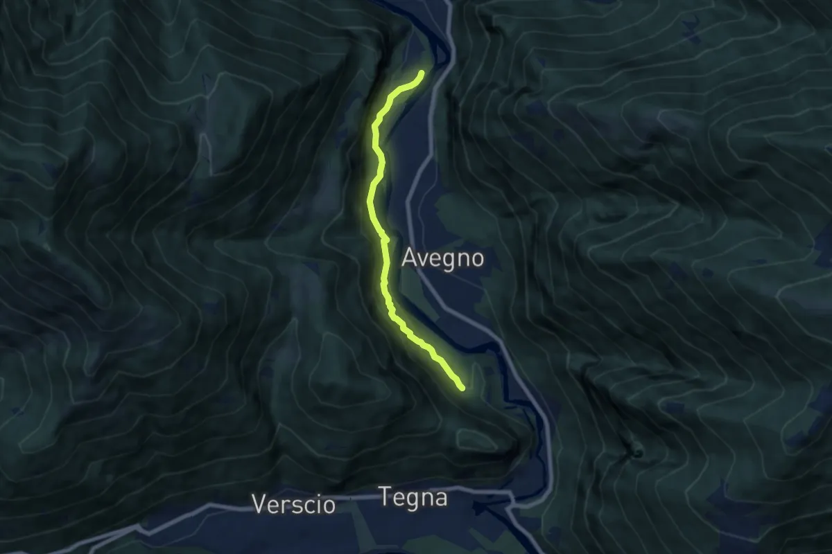
Medium · Trail
Grogg -
6.0 km · ↑ 378 m · 2 h 14 min · 5 km away
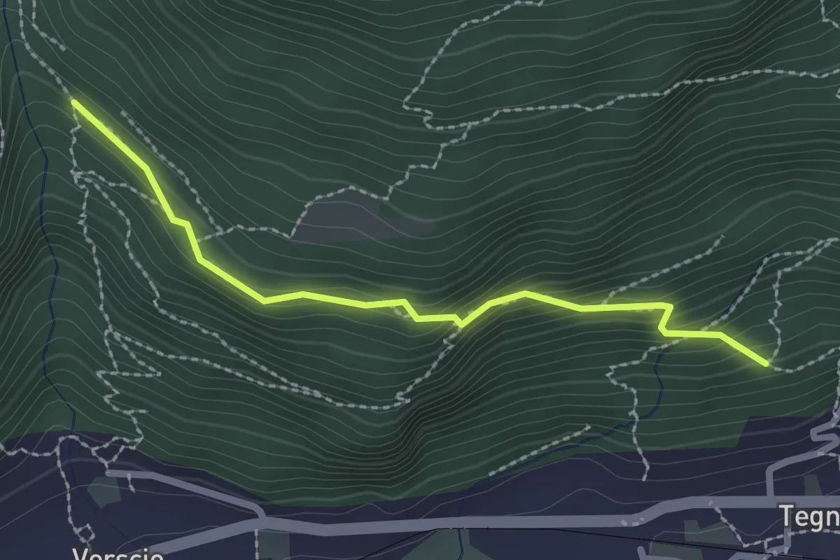
Easy · Trail
Monte Zucchero – Selvapiana
2.2 km · ↑ 180 m · 55 min · 5 km away
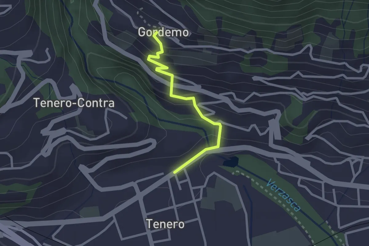
Easy · Trail
Tenero - Gordemo
2.2 km · ↑ 173 m · 53 min · 5 km away
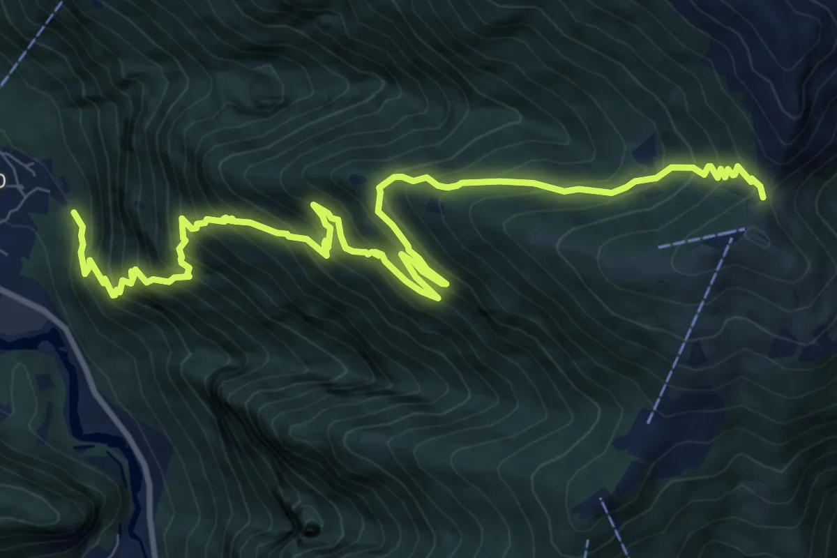
Demanding · Trail
Avegno Bassa di Cimetta
12.5 km · ↑ 1352 m · 5 h 52 min · 5 km away
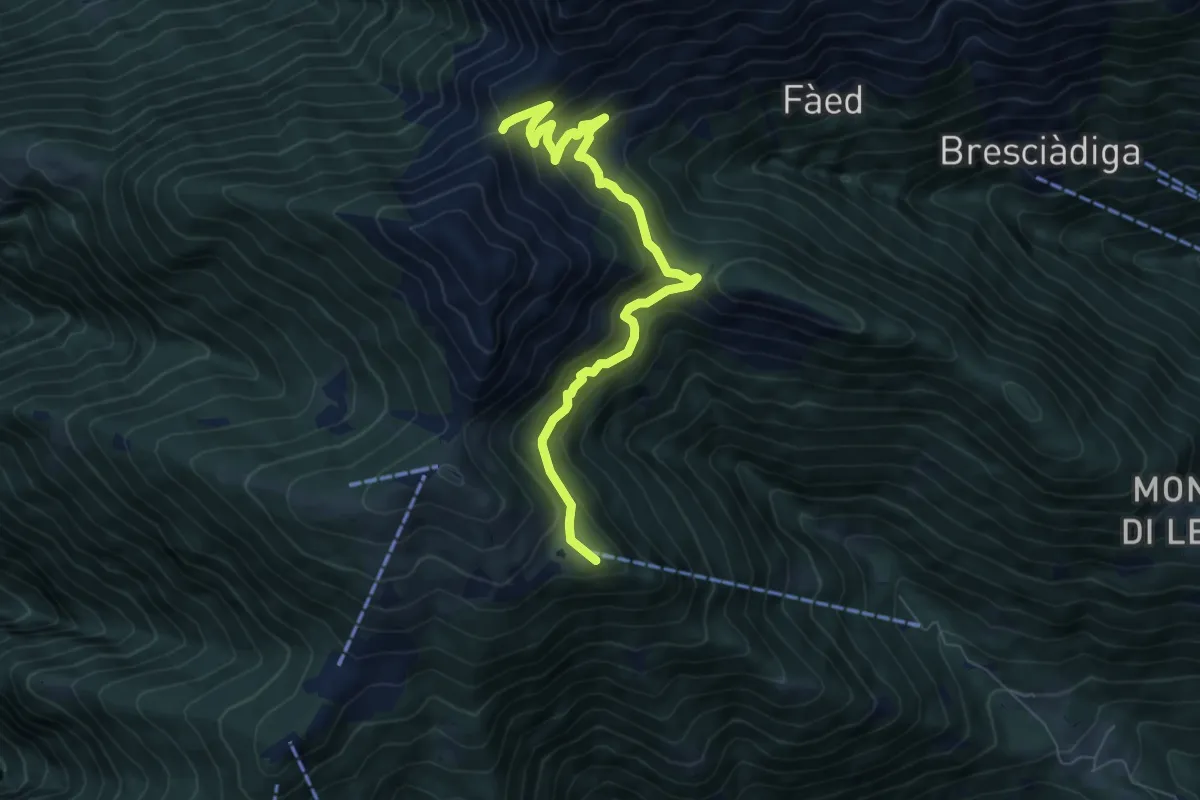
Medium · Summit
Alpe Cardada – P1656
7.5 km · ↑ 463 m · 2 h 46 min · 5 km away
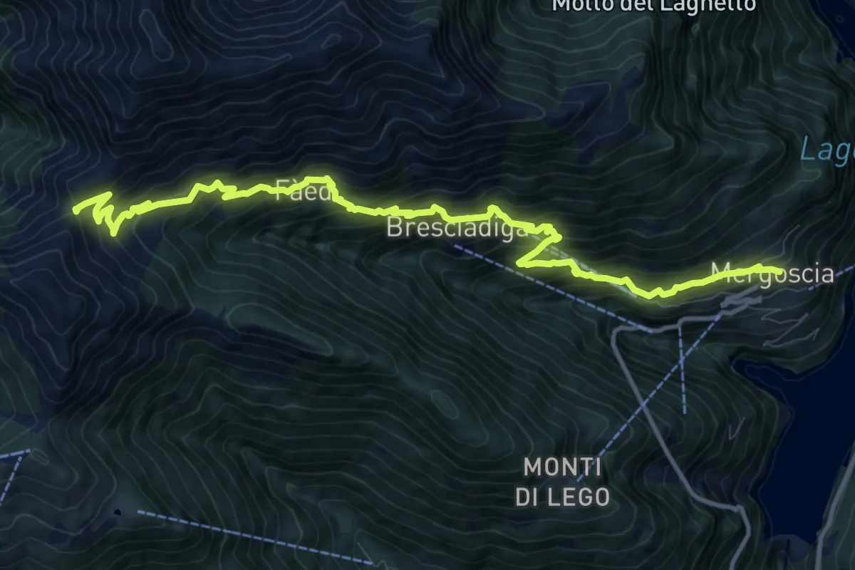
Demanding · Trail
Mergoscia-P1650
13.0 km · ↑ 1219 m · 5 h 43 min · 5 km away
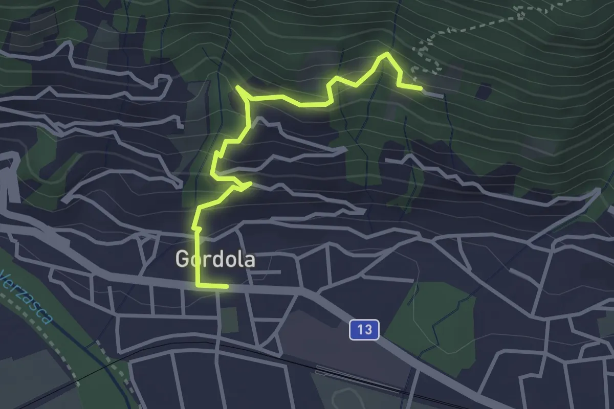
Easy · Trail
Sotto Sassalto – Gordola
3.0 km · ↑ 304 m · 1 h 22 min · 5 km away
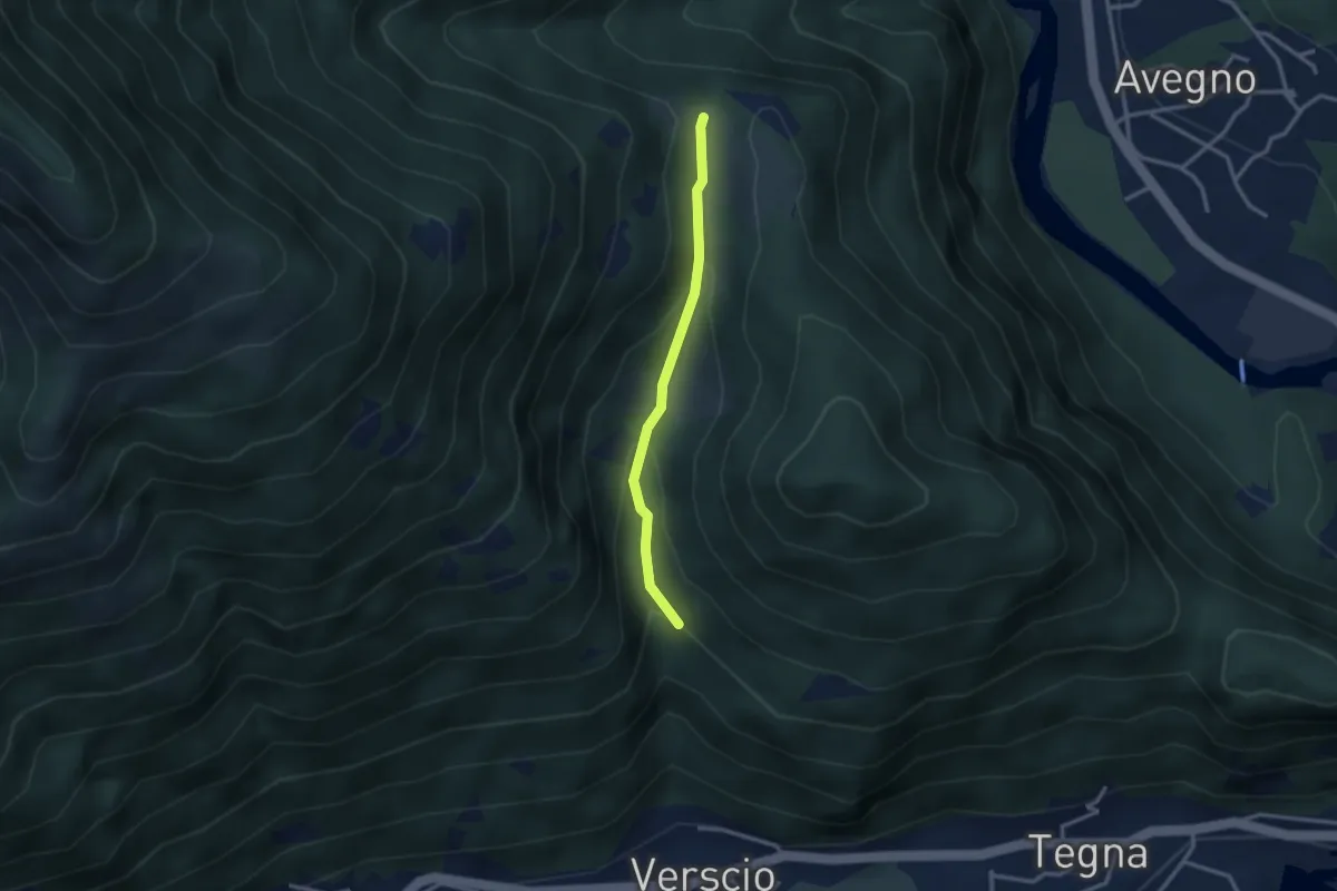
Easy · Trail
Streccia-Monte Zucchero
2.5 km · ↑ 127 m · 53 min · 6 km away
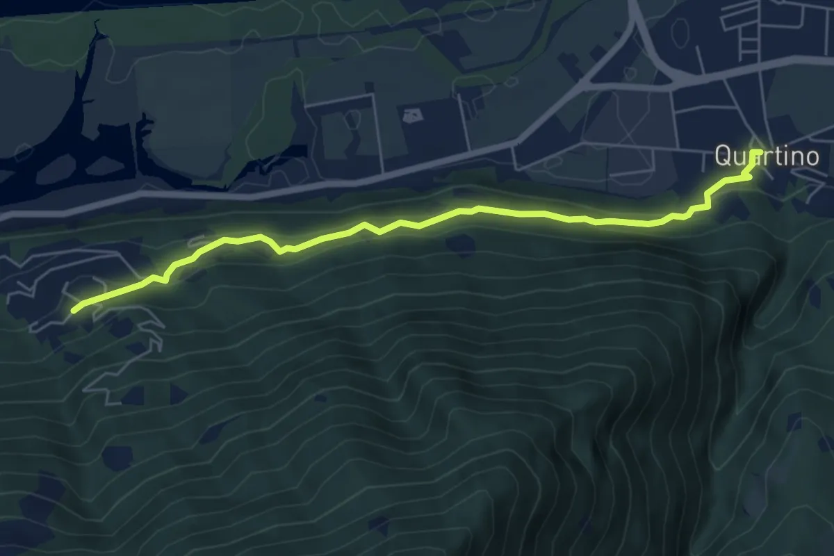
Easy · Trail
Orgnana - Quartino
5.9 km · ↑ 275 m · 2 h · 6 km away
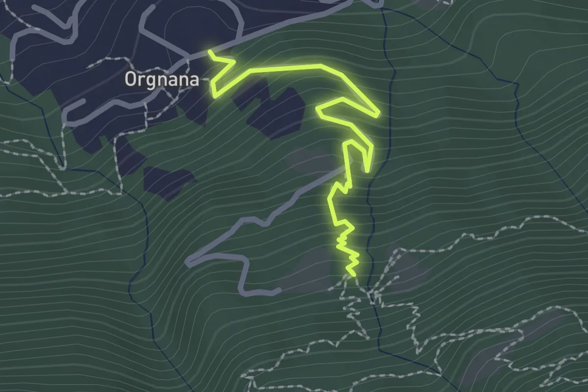
Medium · Trail
Orgnana - Bruno
2.2 km · ↑ 252 m · 1 h 4 min · 6 km away