Trails near Lyss
410 hikes starting within 15 km, nearest first.
Nearest first, page 9 of 9
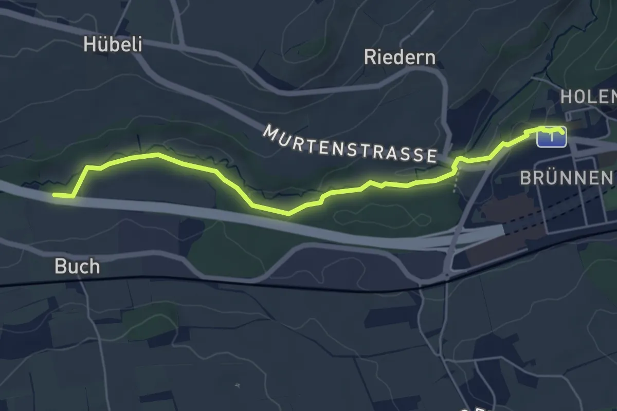
Easy · Trail
Gäbelbach – Autobahnviadukt
5.0 km · ↑ 49 m · 1 h 17 min · 14 km away
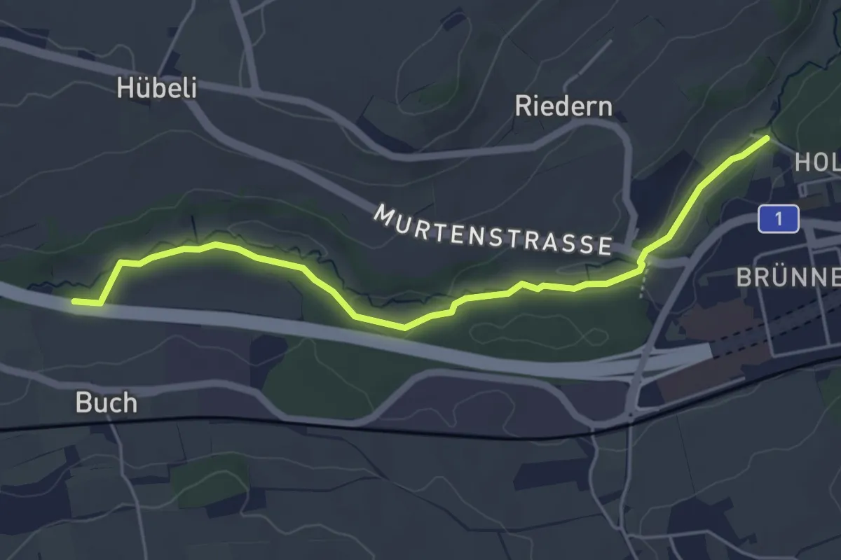
Easy · Trail
Gäbelbachbrücke - Autobahnviadukt
4.9 km · ↑ 37 m · 1 h 15 min · 14 km away
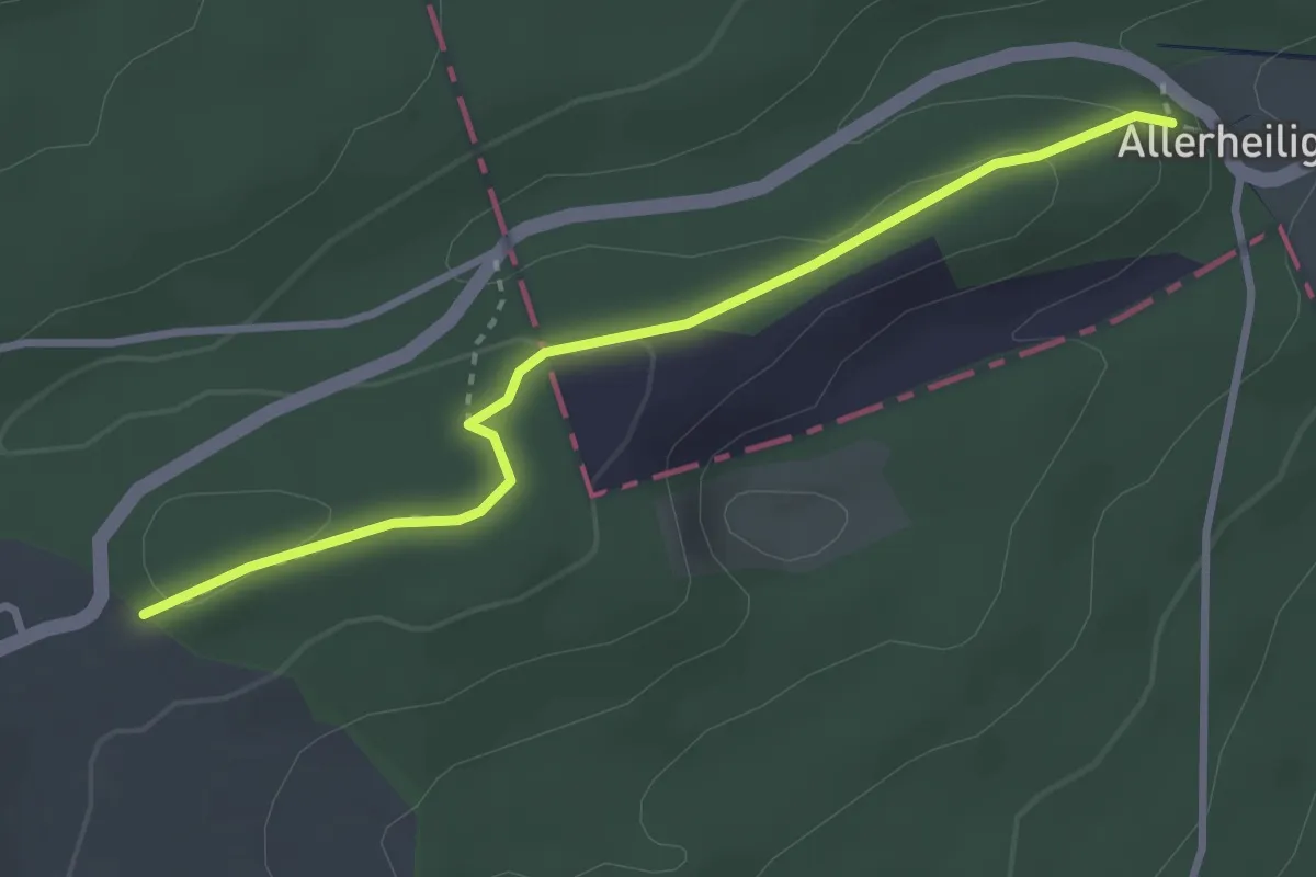
Easy · Trail
Firsi – Neuban
3.0 km · ↑ 81 m · 54 min · 14 km away
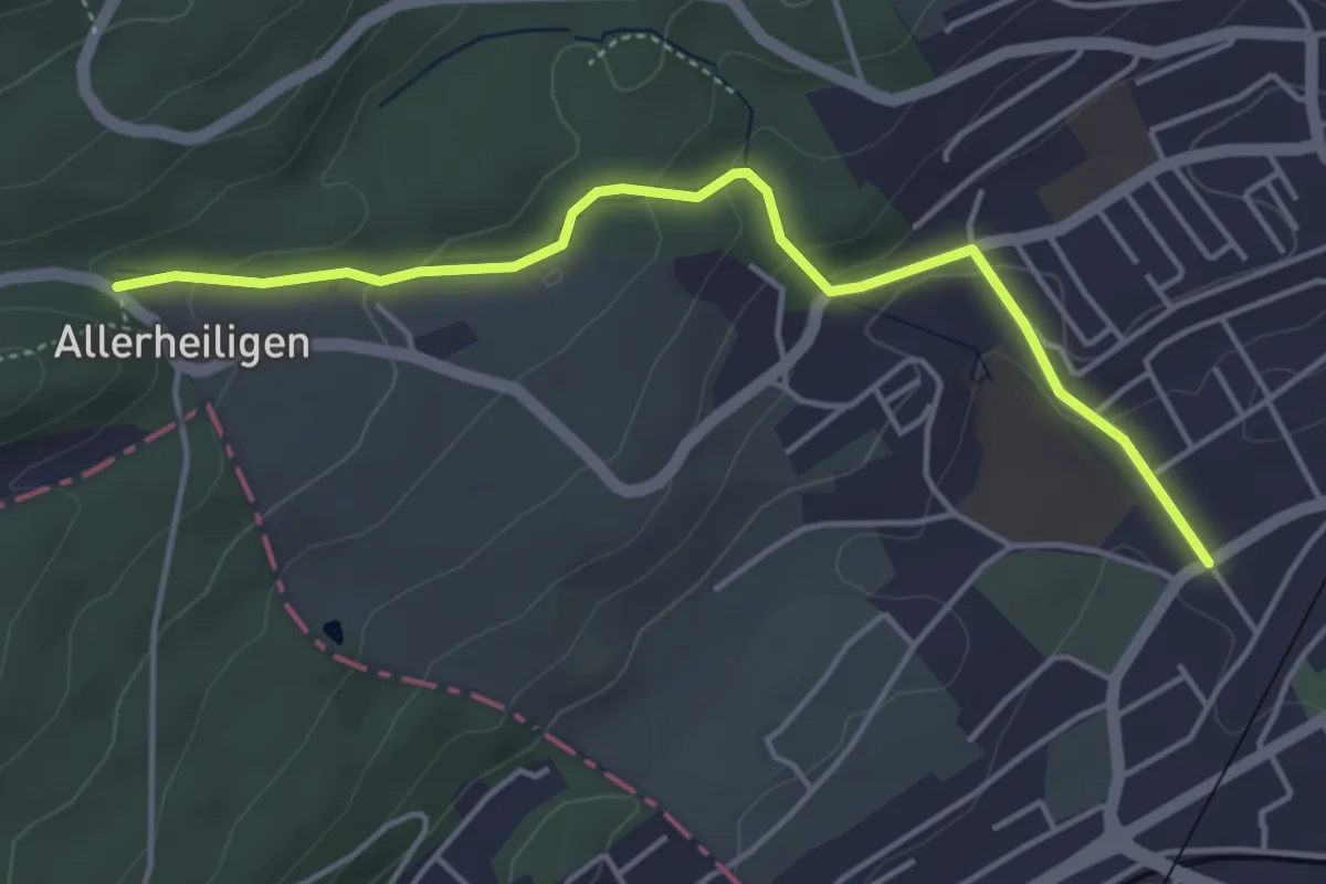
Easy · Trail
Sonnenrain – Dählenstrasse
4.5 km · ↑ 172 m · 1 h 26 min · 14 km away
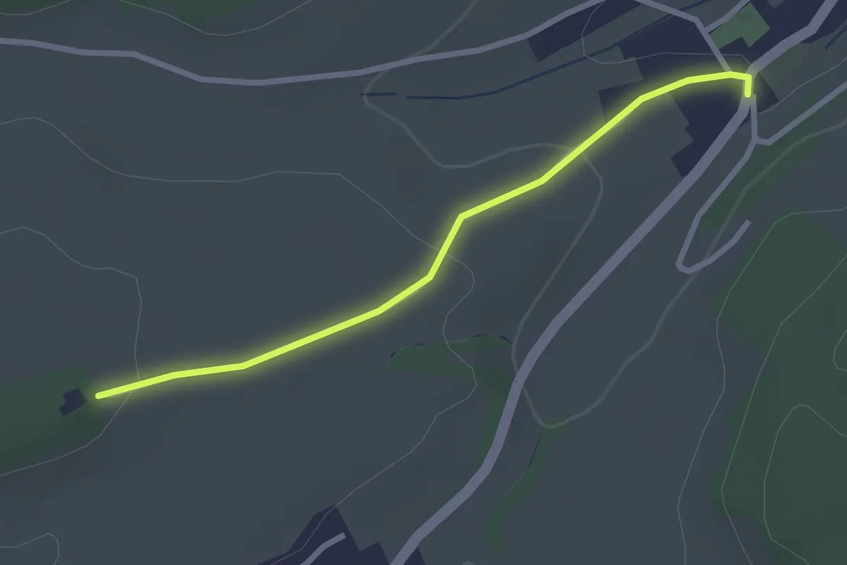
Easy · Trail
Mühledorf Ober Bockstein – Mühledorf
2.4 km · ↑ 61 m · 42 min · 14 km away
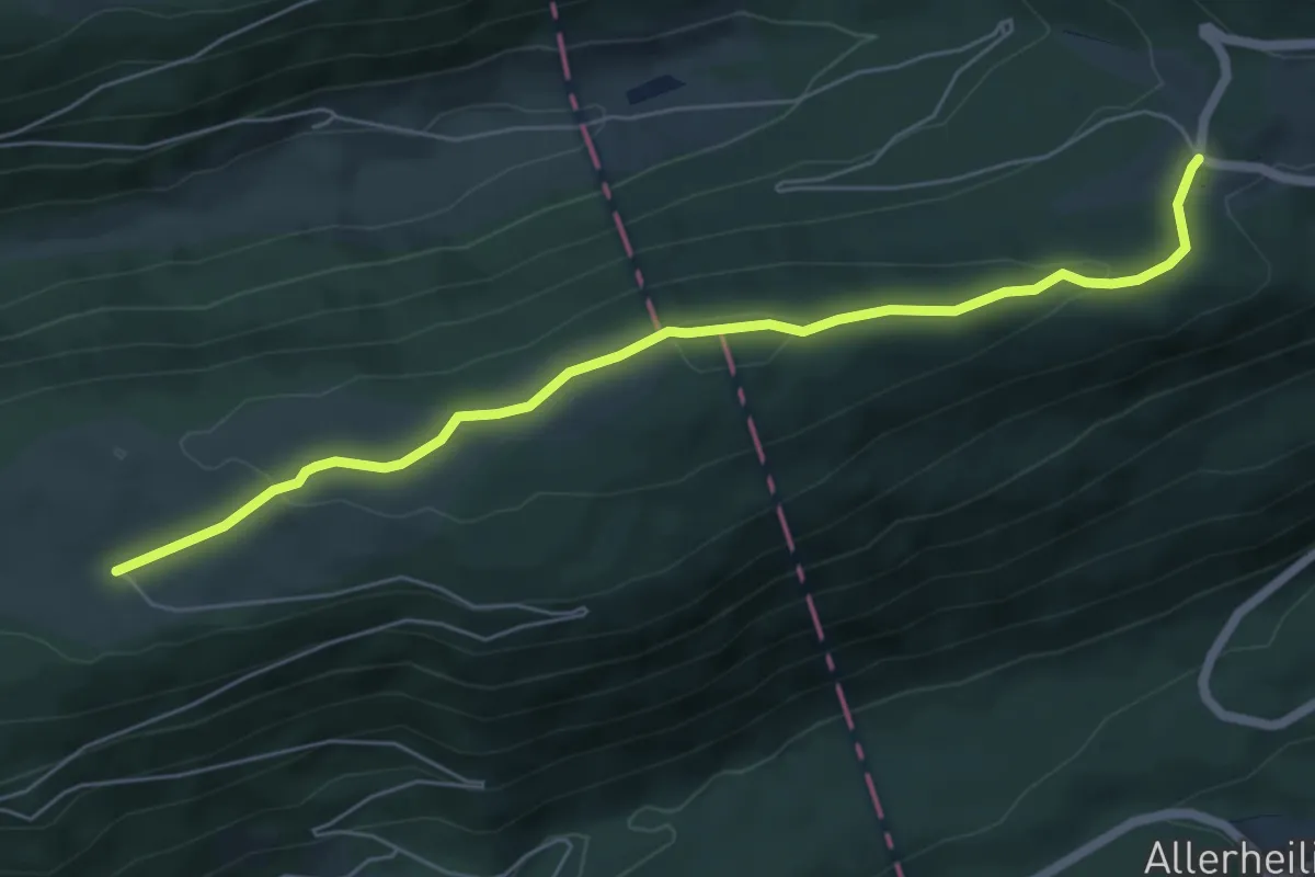
Easy · Trail
Wäsmeli – Romontberg
6.3 km · ↑ 170 m · 1 h 51 min · 15 km away
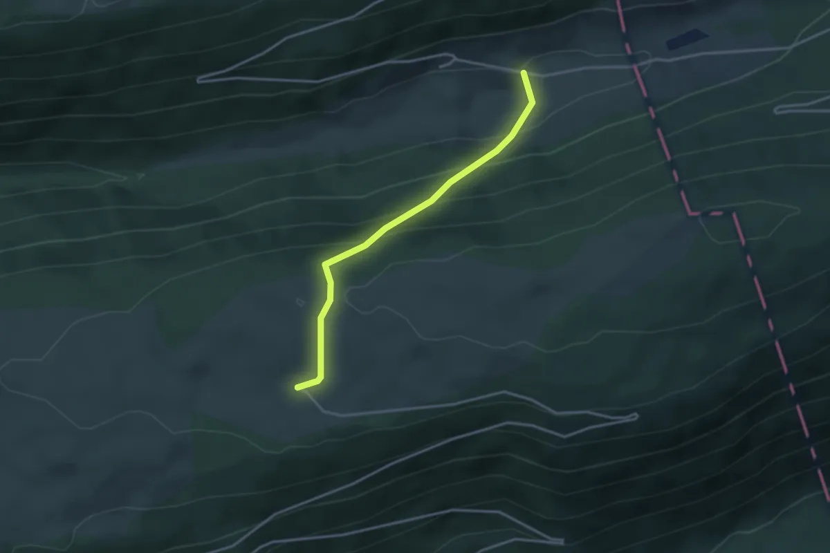
Easy · Trail
Romontberg – Unter Bürenberg
3.0 km · ↑ 233 m · 1 h 13 min · 15 km away
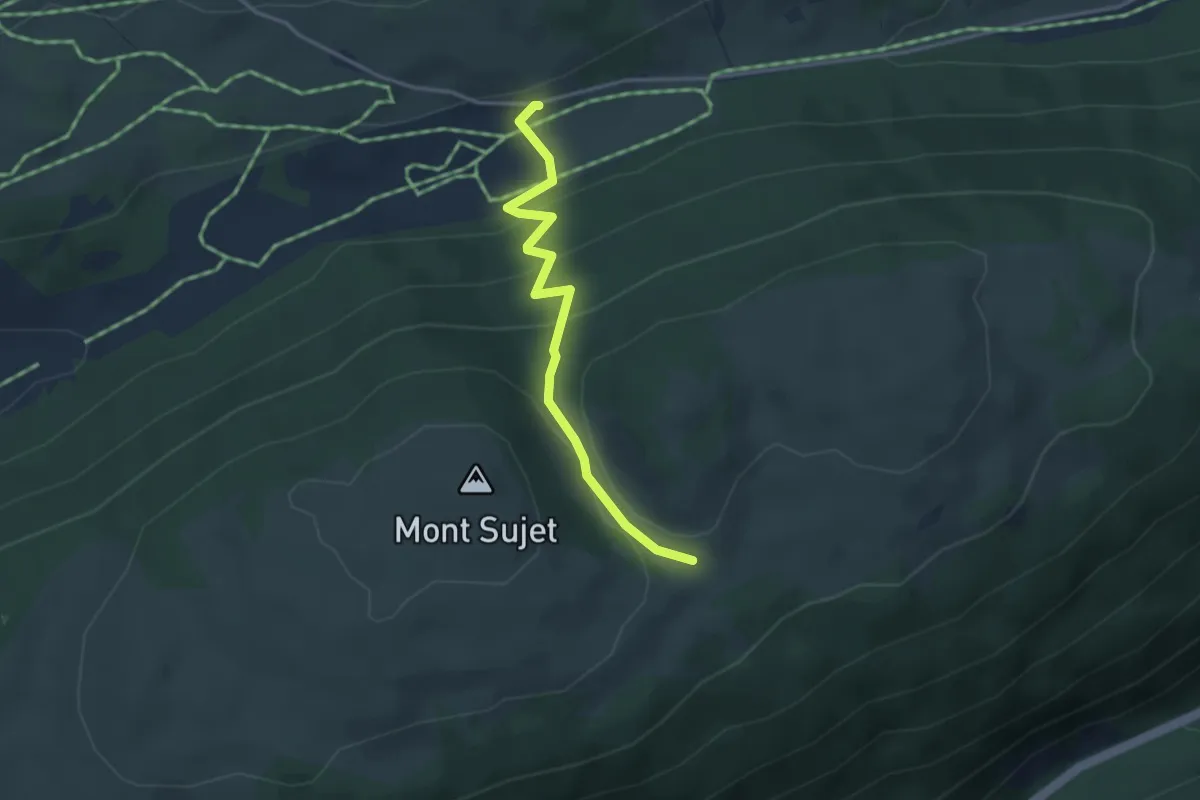
Easy · Trail
Mont Sujet – Métairie de Prêles
3.3 km · ↑ 204 m · 1 h 14 min · 15 km away
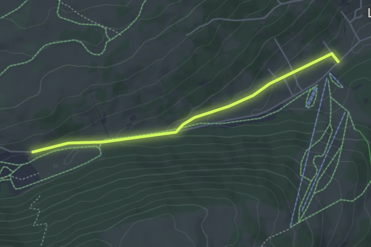
Easy · Trail
Le Grillon – Métairie de Prêles
4.2 km · ↑ 115 m · 1 h 14 min · 15 km away
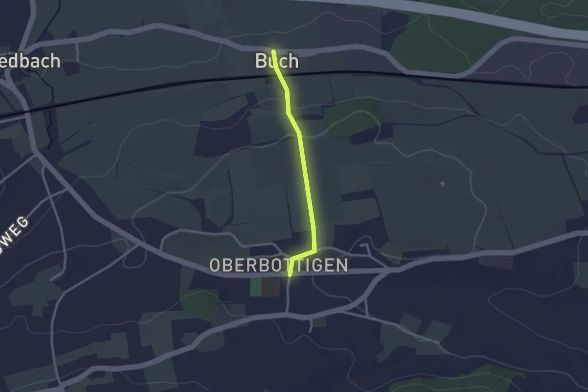
Easy · Trail
Buech - Oberbottigen
2.0 km · ↑ 43 m · 34 min · 15 km away
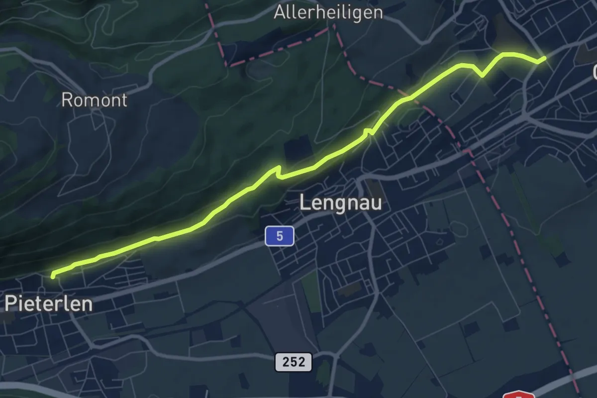
Medium · Trail
Pieterlen / Kirche – Dählenstrasse
9.1 km · ↑ 222 m · 2 h 38 min · 15 km away
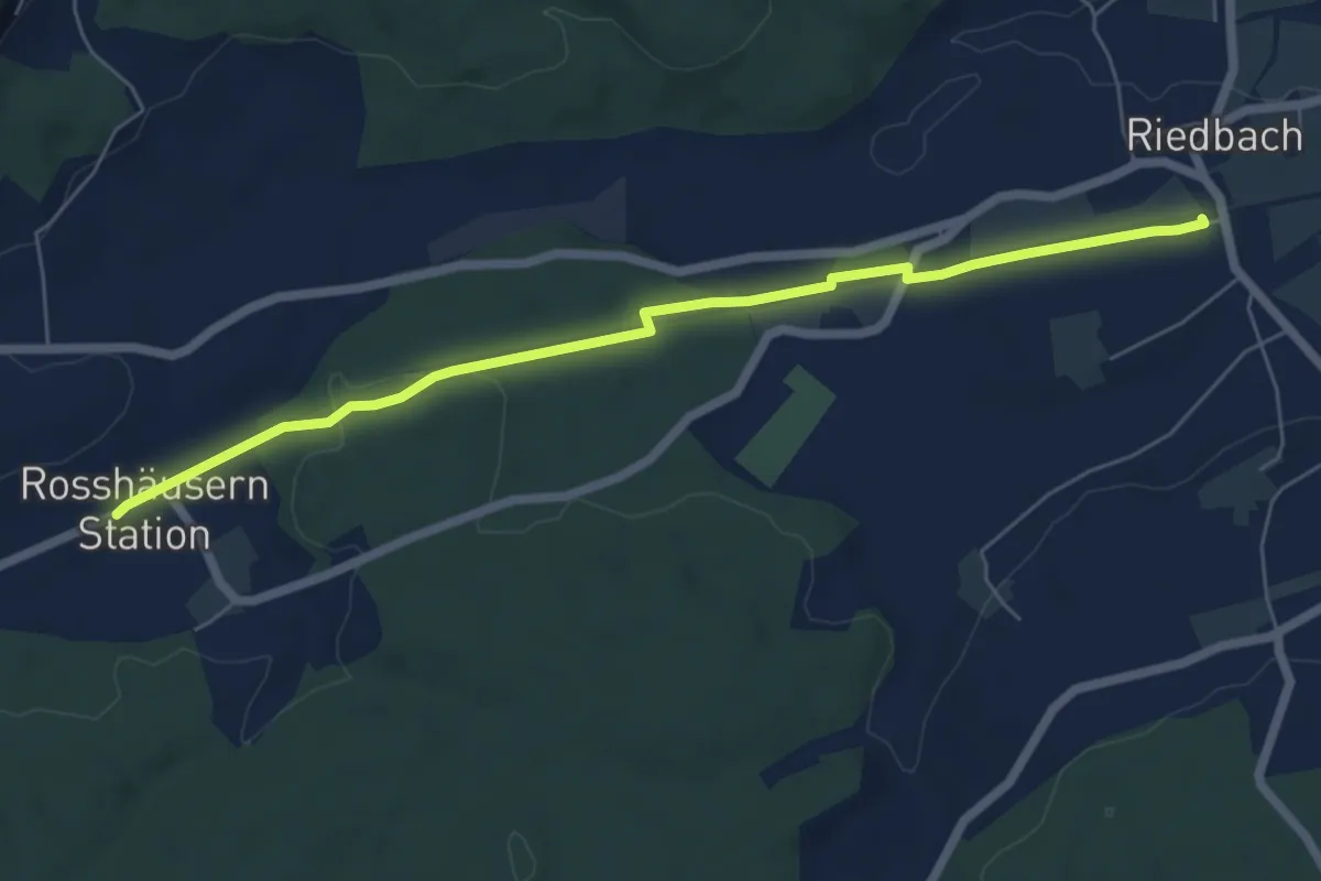
Easy · Trail
Rosshäusern/Station - Riedbach/Station
6.4 km · ↑ 72 m · 1 h 40 min · 15 km away
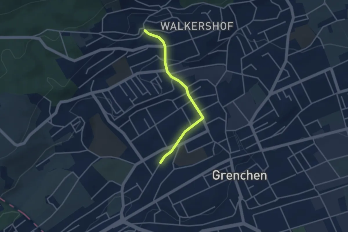
Easy · Trail
Grenchen Nord – Schmelzi
2.6 km · ↑ 64 m · 46 min · 15 km away
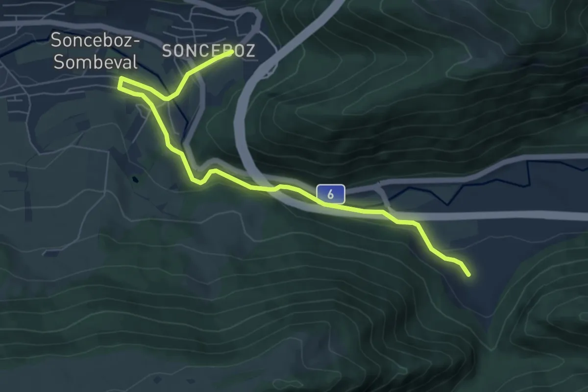
Easy · Trail
Métairie de Nidau – Sonceboz
7.2 km · ↑ 204 m · 2 h 9 min · 15 km away
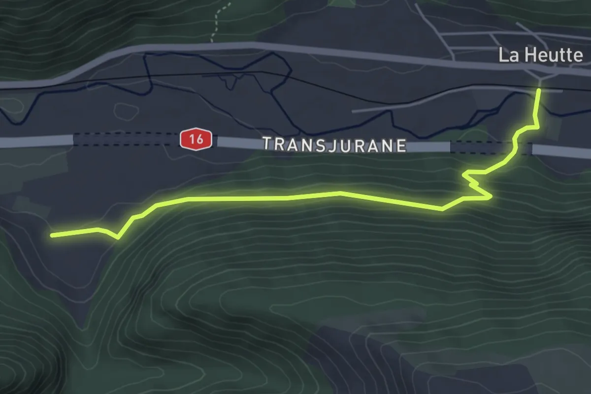
Easy · Trail
Métairie de Nidau – La Heutte
4.9 km · ↑ 243 m · 1 h 41 min · 15 km away
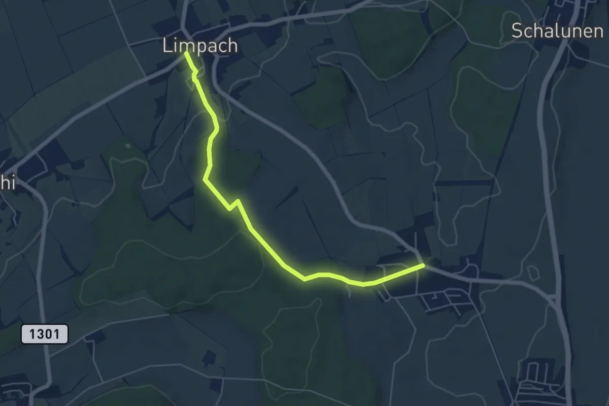
Easy · Trail
Unterramsern – Büren zum Hof
5.4 km · ↑ 114 m · 1 h 32 min · 15 km away
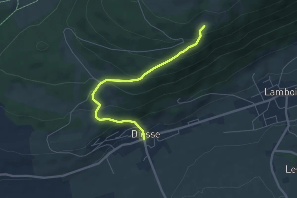
Medium · Trail
Combe Robin – Diesse
4.8 km · ↑ 322 m · 1 h 50 min · 15 km away
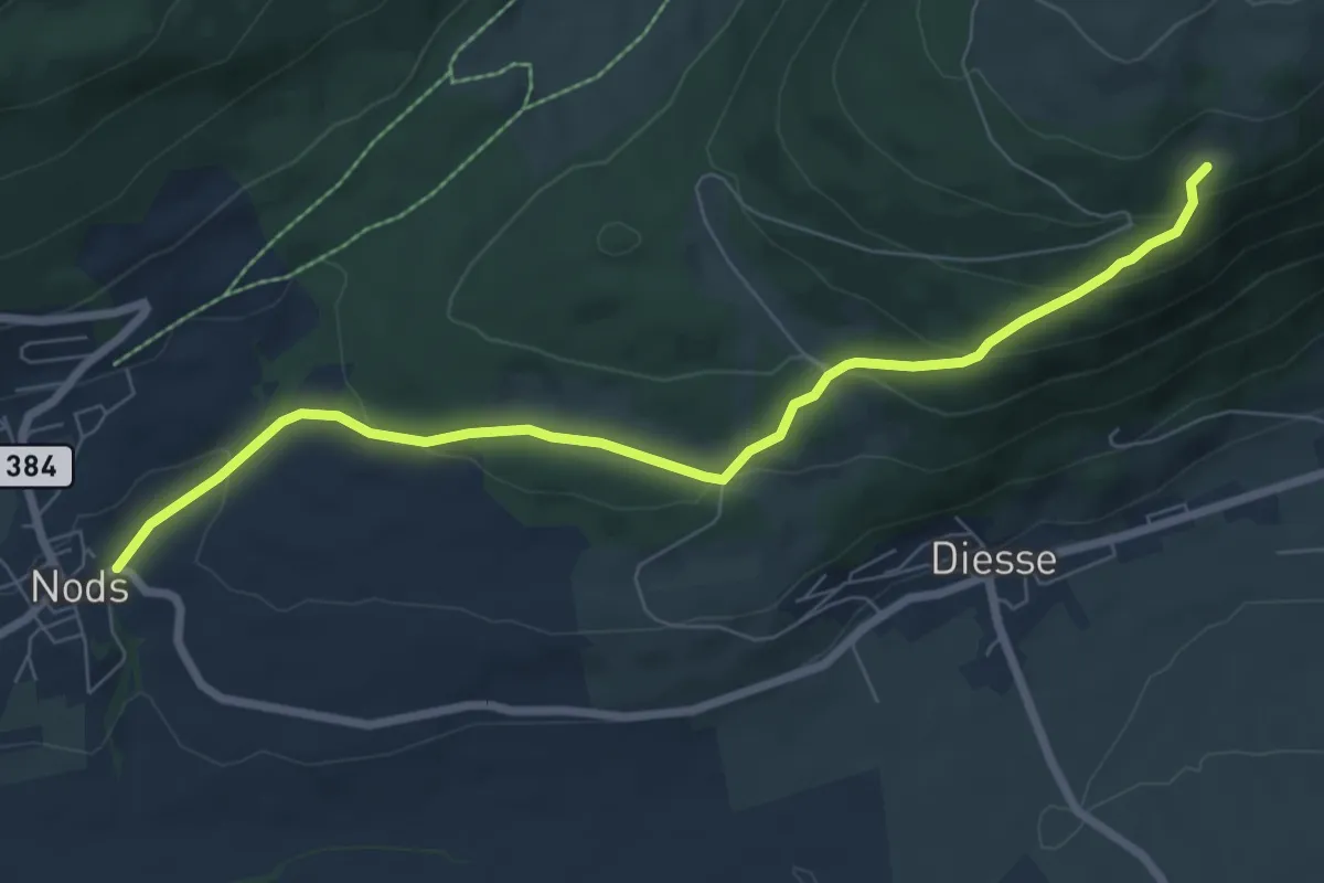
Easy · Trail
Combe Robin – Nods
7.5 km · ↑ 311 m · 2 h 27 min · 15 km away
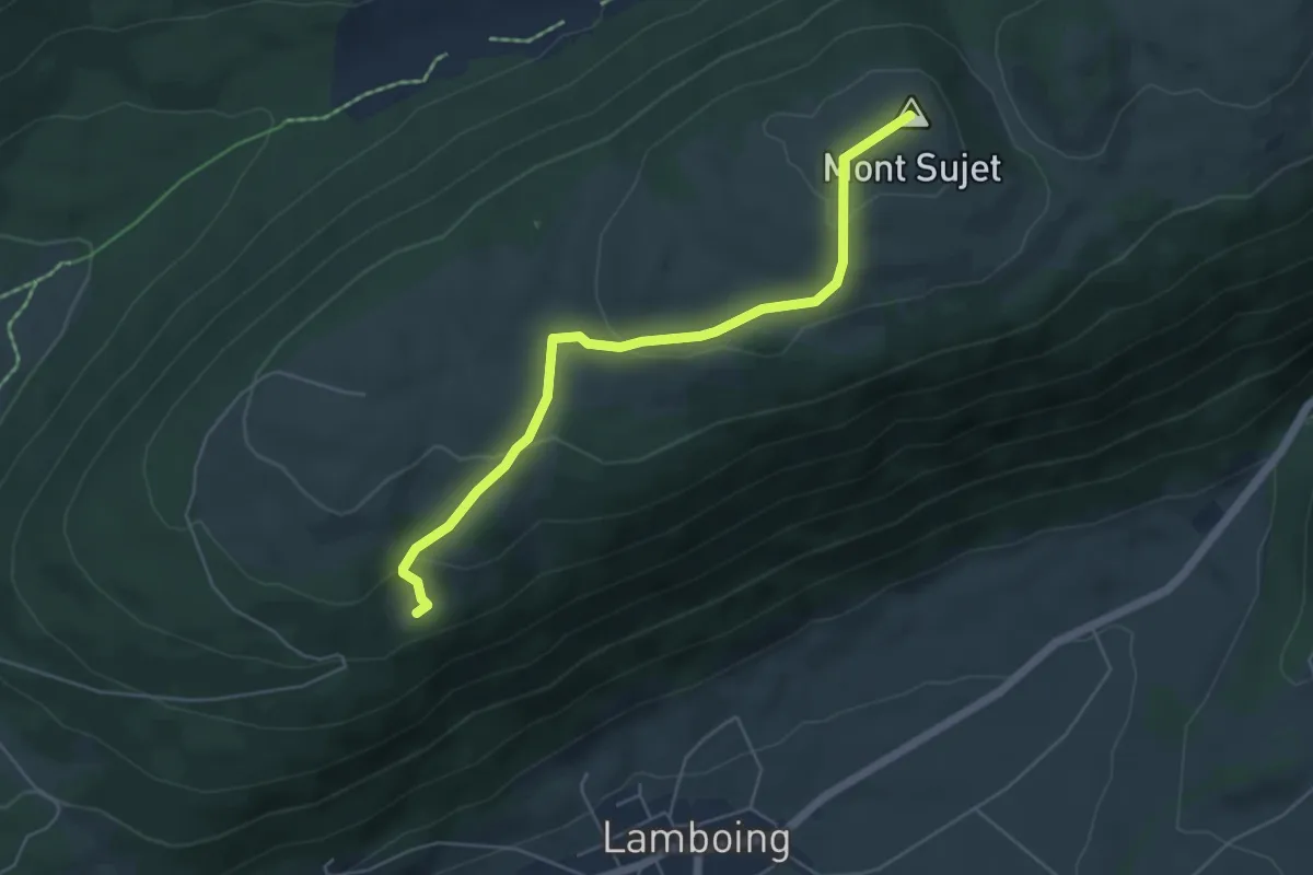
Easy · Summit
Mont Sujet sommet – Combe Robin
5.2 km · ↑ 211 m · 1 h 42 min · 15 km away
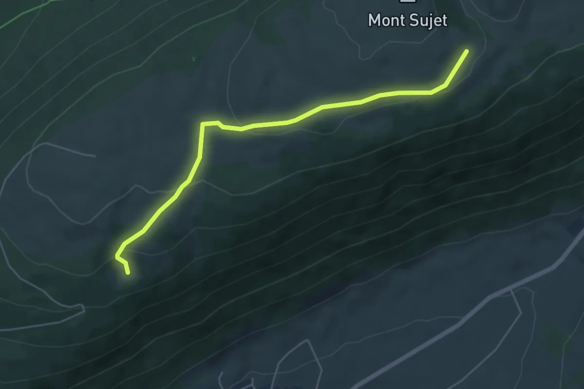
Easy · Cabin
Bergerie du Haut – Combe Robin
5.1 km · ↑ 164 m · 1 h 34 min · 15 km away
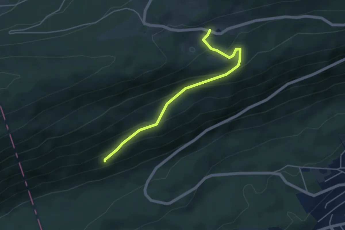
Easy · Trail
Grosser Cher – Stierenberg
3.9 km · ↑ 254 m · 1 h 28 min · 15 km away
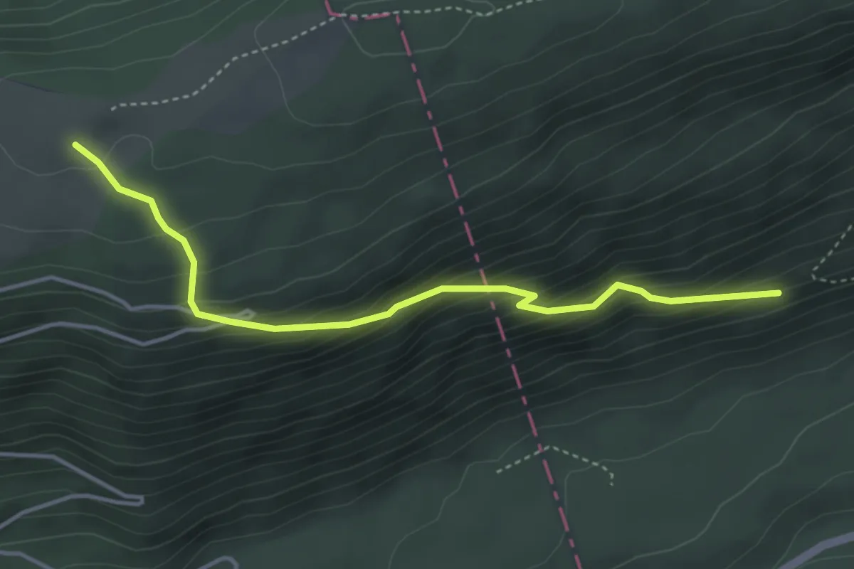
Medium · Trail
Pâturage du la Montagne – Grosser Cher
4.0 km · ↑ 375 m · 1 h 46 min · 15 km away
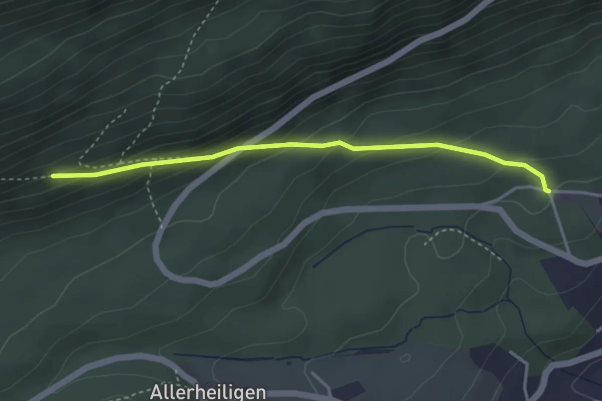
Easy · Trail
Grosser Cher – Holzerhütte
3.2 km · ↑ 221 m · 1 h 14 min · 15 km away
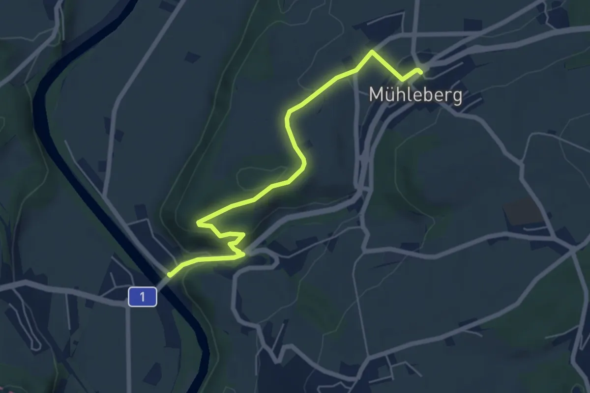
Easy · Trail
Gümmenen - Mühleberg
5.6 km · ↑ 176 m · 1 h 43 min · 15 km away
Demanding · Summit
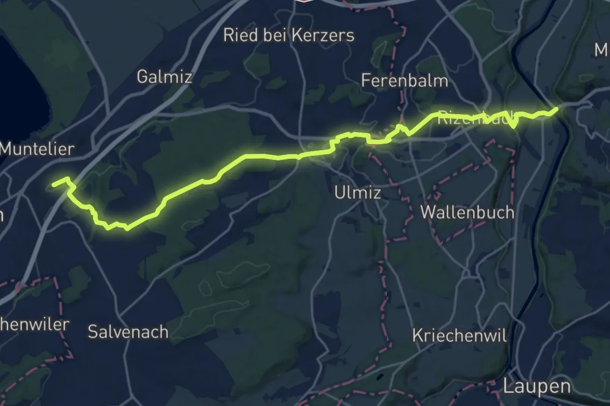
Prehl Murten – Gümmenen
21.5 km · ↑ 325 m · 5 h 46 min · 15 km away
Easy · Trail
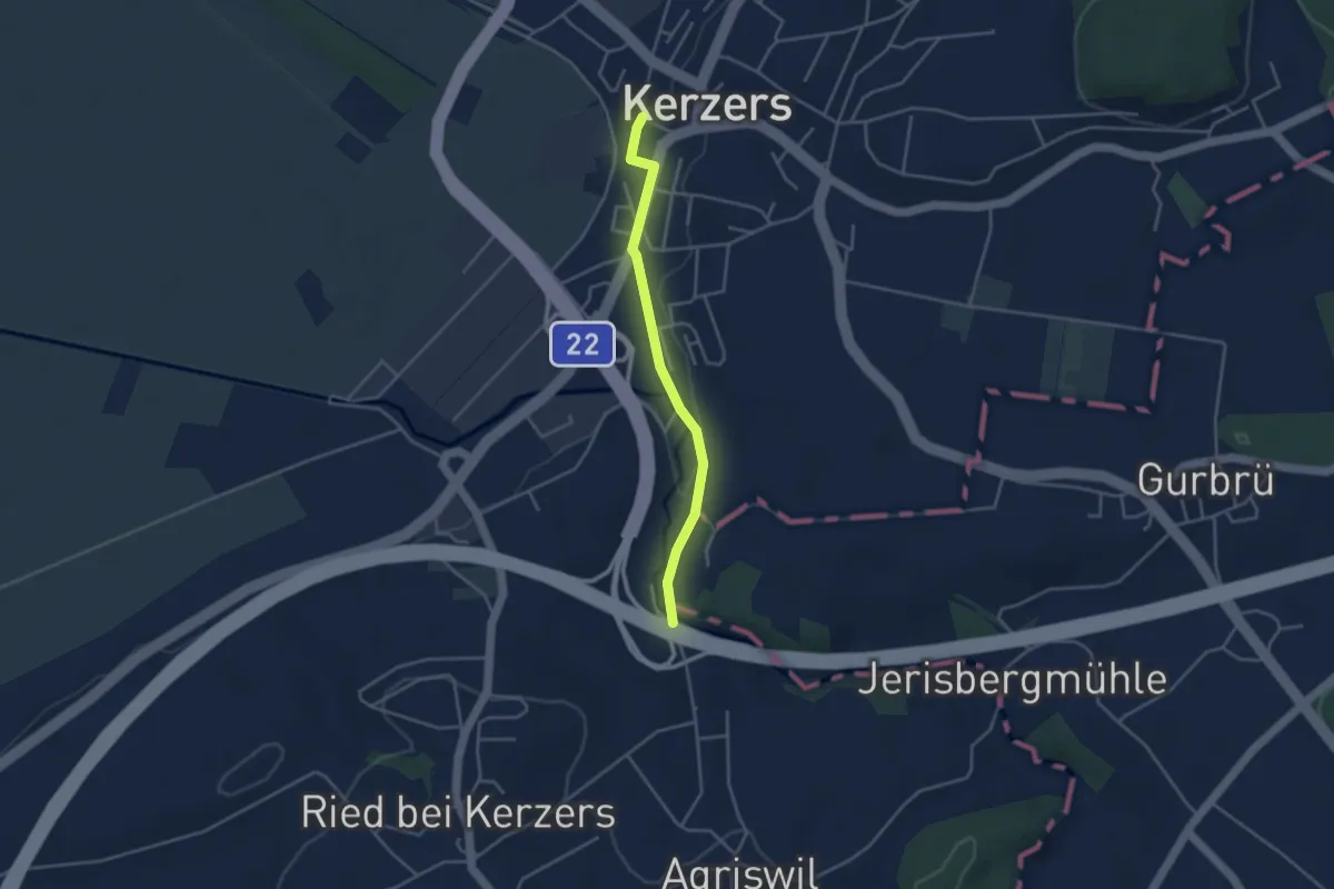
Kerzers - Stämpflerei/Mühle
3.4 km · ↑ 14 m · 51 min · 15 km away