Trails near Meilen
641 hikes starting within 15 km, nearest first.
Nearest first, page 12 of 14
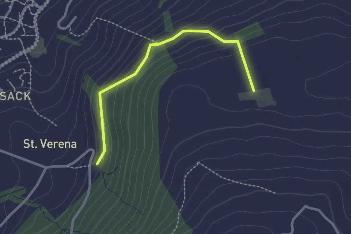
Easy · Trail
Wildenburg - Schönegg - fixme
2.1 km · ↑ 121 m · 45 min · 14 km away
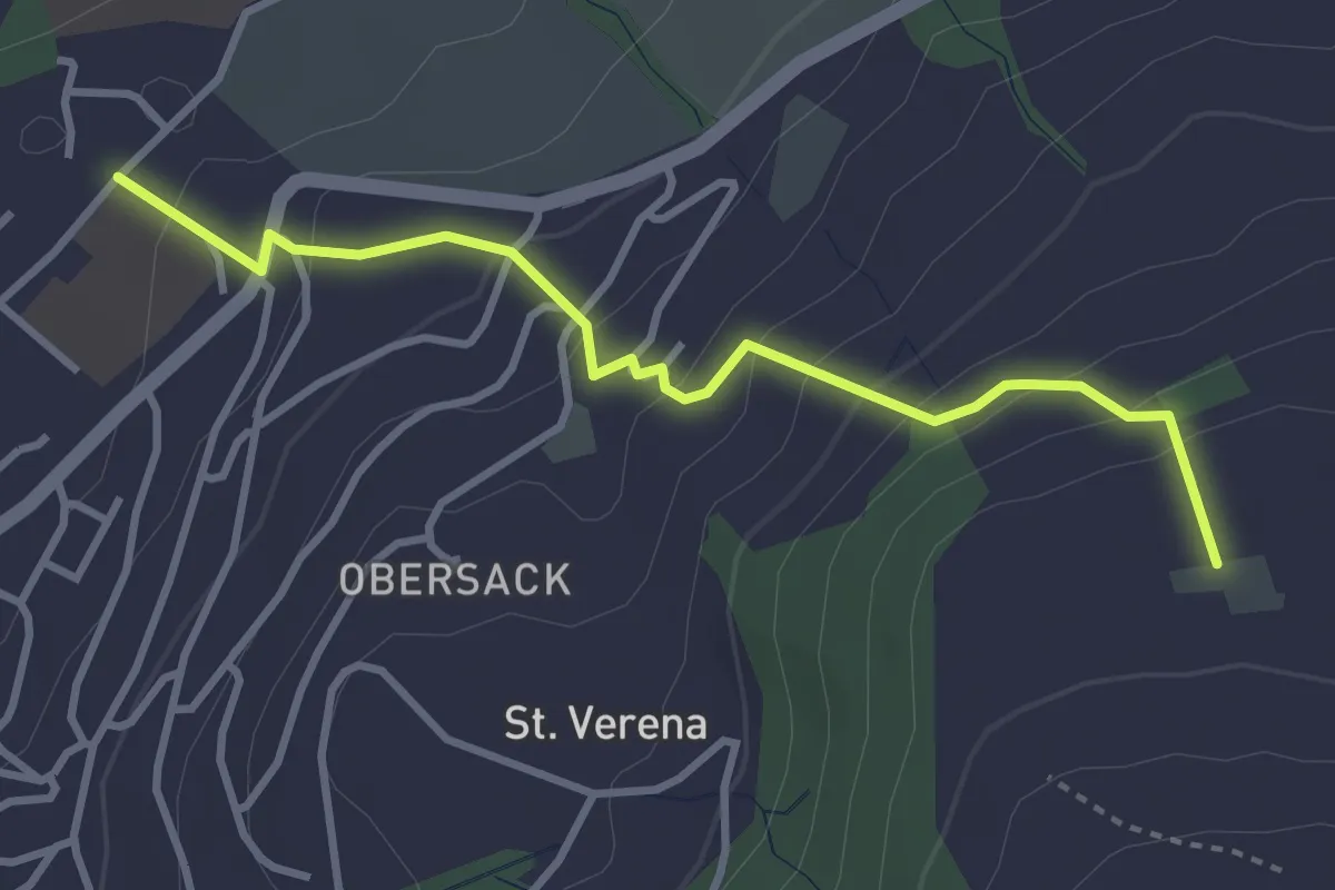
Easy · Trail
Loreto - Wildenburg
3.4 km · ↑ 225 m · 1 h 17 min · 14 km away
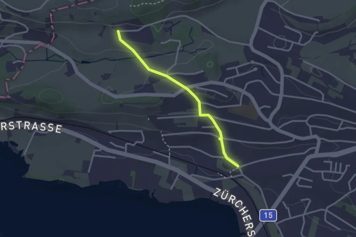
Easy · Trail
Fluh – Balm
2.3 km · ↑ 80 m · 43 min · 14 km away
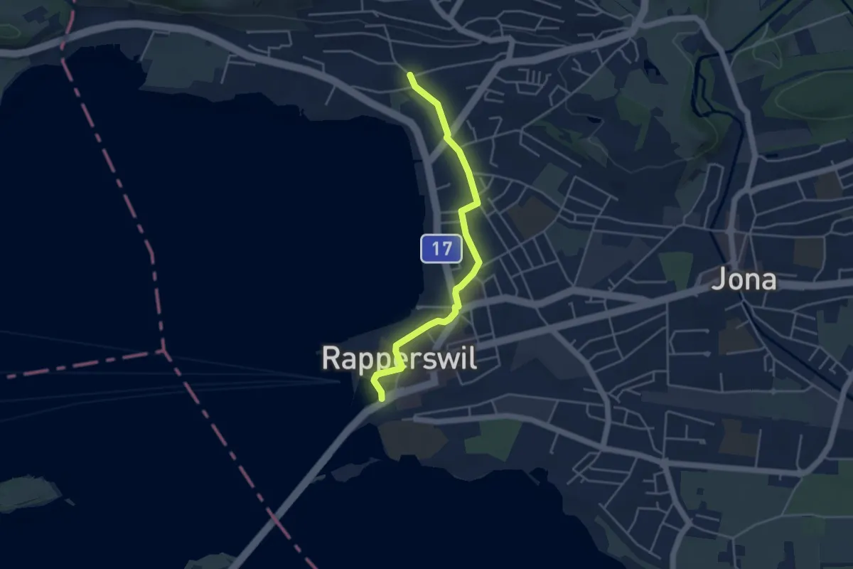
Easy · Trail
Fluh – Verkehrsbüro
4.0 km · ↑ 28 m · 1 h 1 min · 14 km away
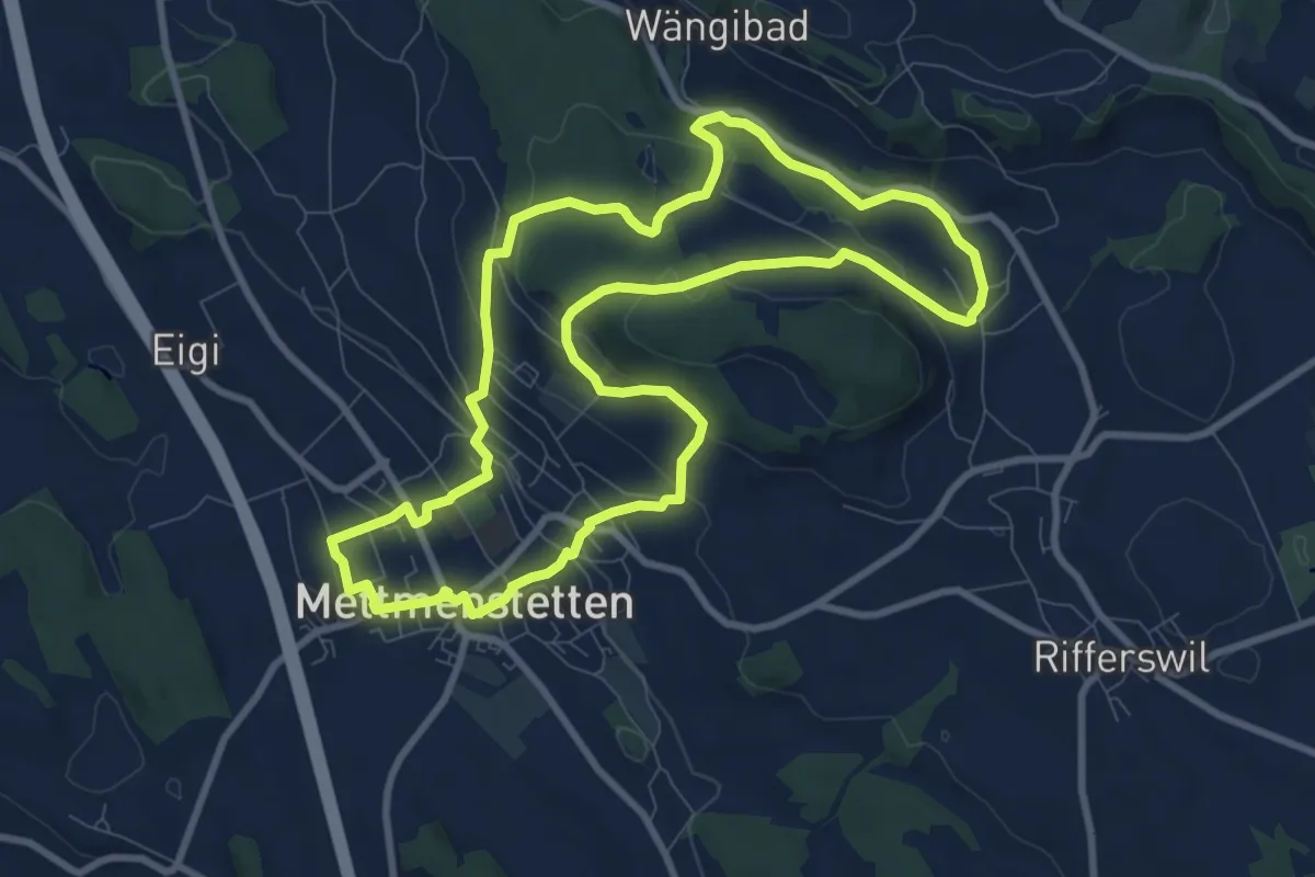
Medium · Trail
Mättmiwäg 5 Herferswil
9.3 km · ↑ 305 m · 2 h 59 min · 14 km away
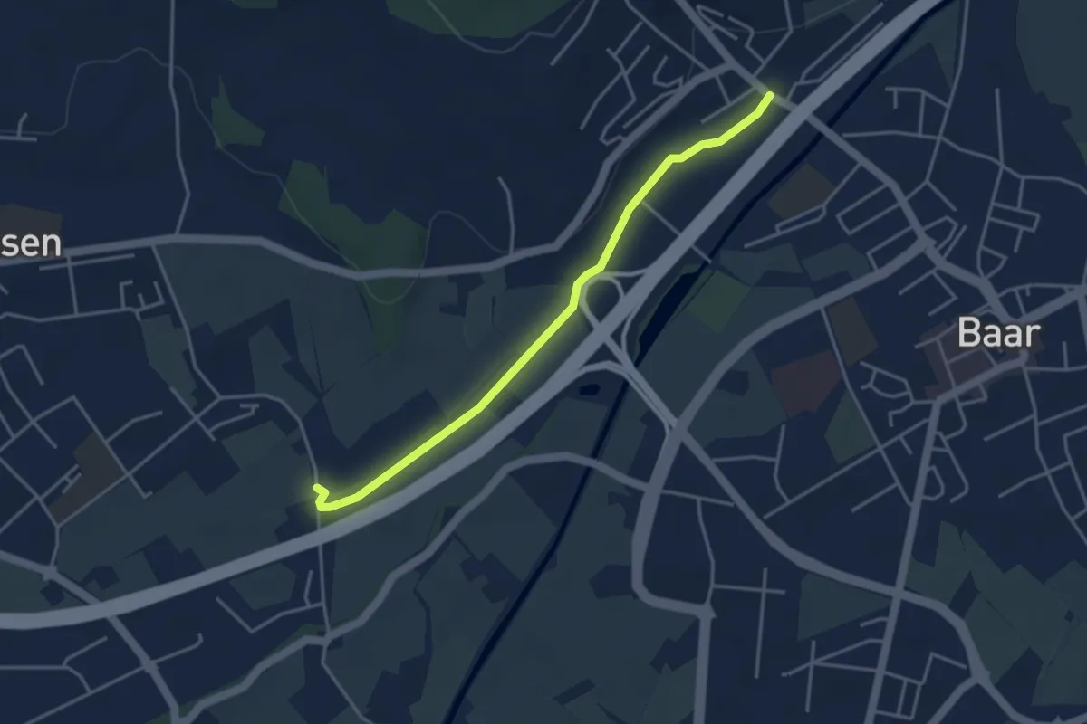
Easy · Trail
Blickensdorf-Hint. Höfen
3.7 km · ↑ 8 m · 54 min · 14 km away
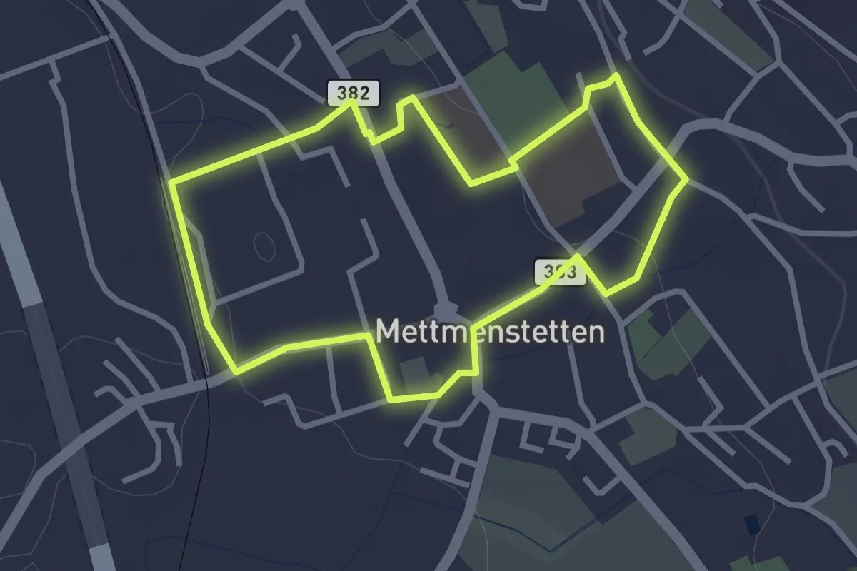
Easy · Trail
Mättmiwäg 1 Dorf
2.6 km · ↑ 30 m · 43 min · 14 km away
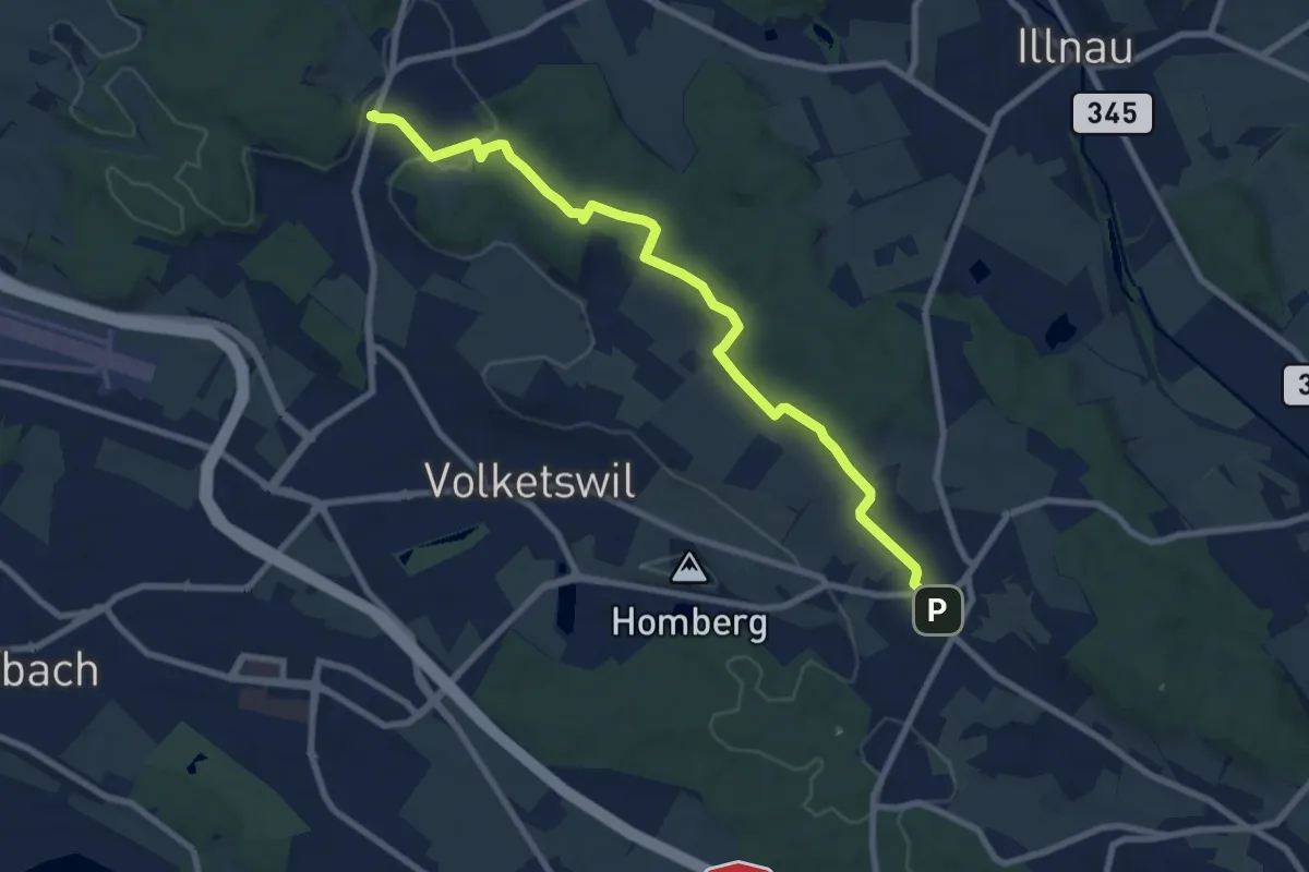
Medium · Trail
Gutenswil – Kindhausen
9.1 km · ↑ 185 m · 2 h 32 min · 14 km away
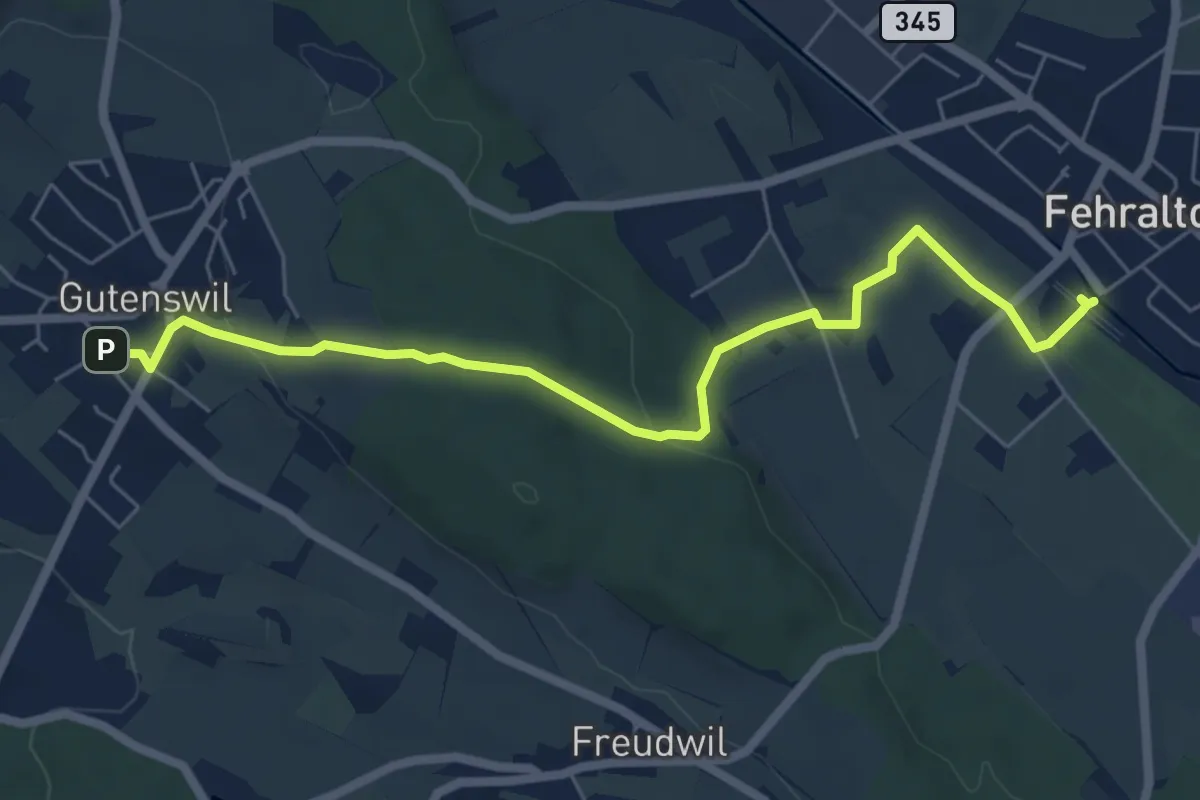
Easy · Trail
Gutenswil - Fehraltorf
6.6 km · ↑ 148 m · 1 h 53 min · 14 km away
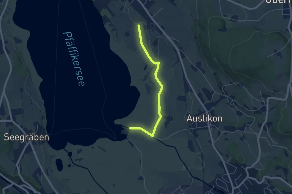
Easy · Trail
Römerkastell – Strandbad Auslikon
4.5 km · ↑ 4 m · 1 h 4 min · 14 km away
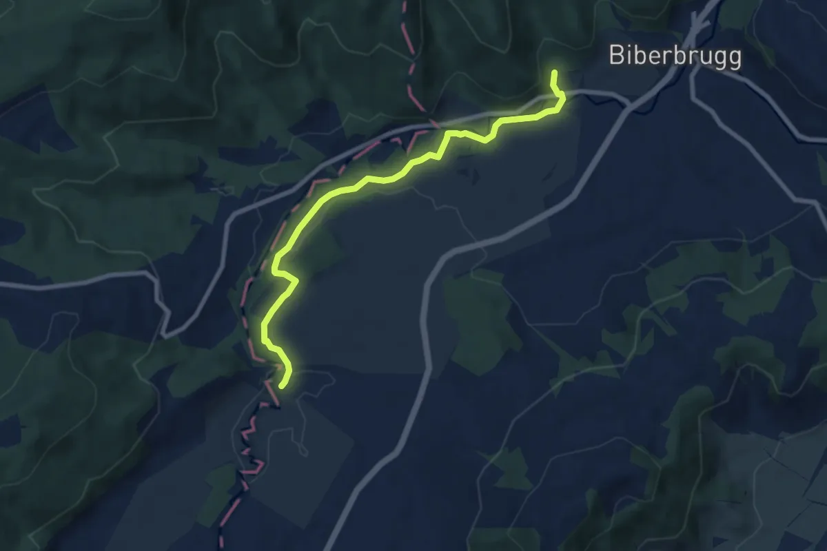
Easy · Trail
Tomisloch – Bibersteg
7.4 km · ↑ 155 m · 2 h 4 min · 14 km away
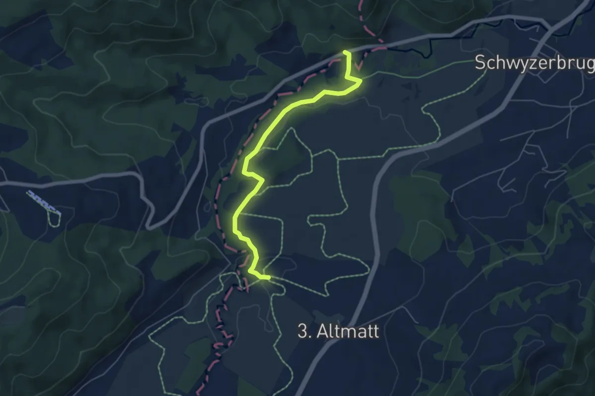
Easy · Trail
Bibersteg - Gutsch-Säge
5.3 km · ↑ 109 m · 1 h 30 min · 14 km away
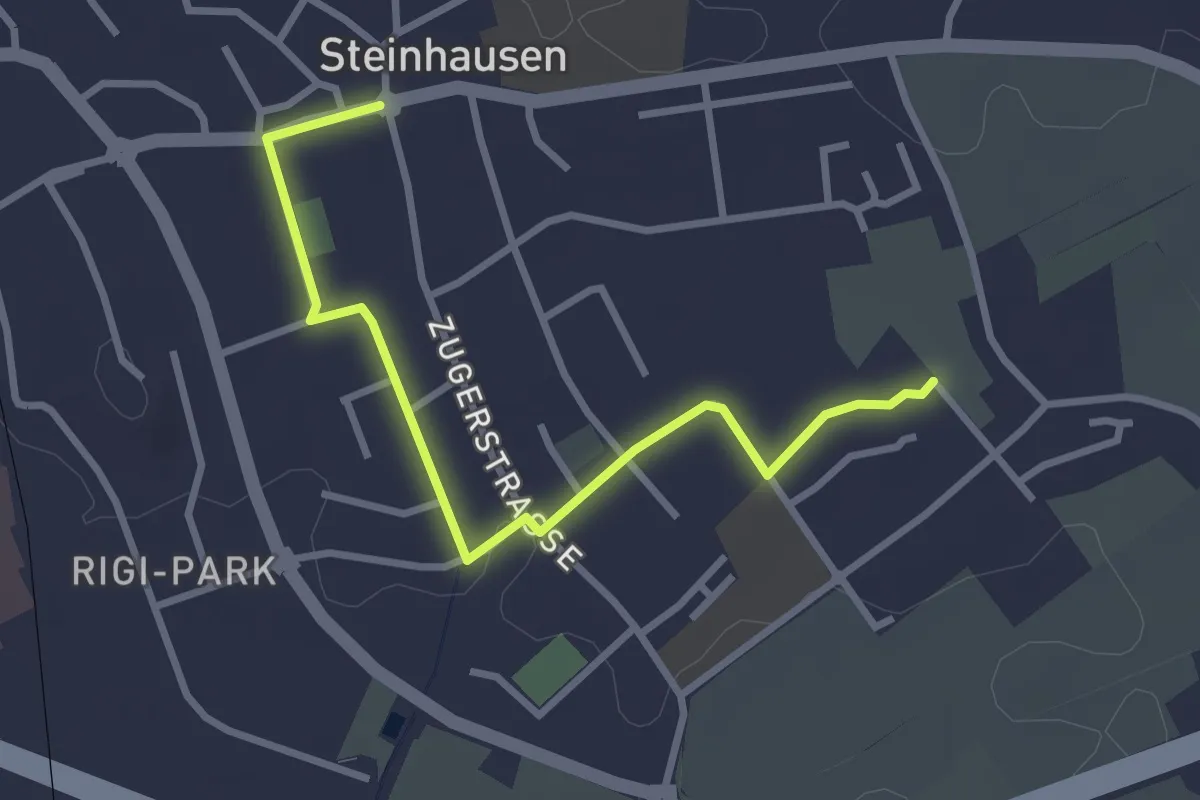
Easy · Trail
Höfen - Post Rathaus
3.1 km · ↑ 8 m · 46 min · 14 km away
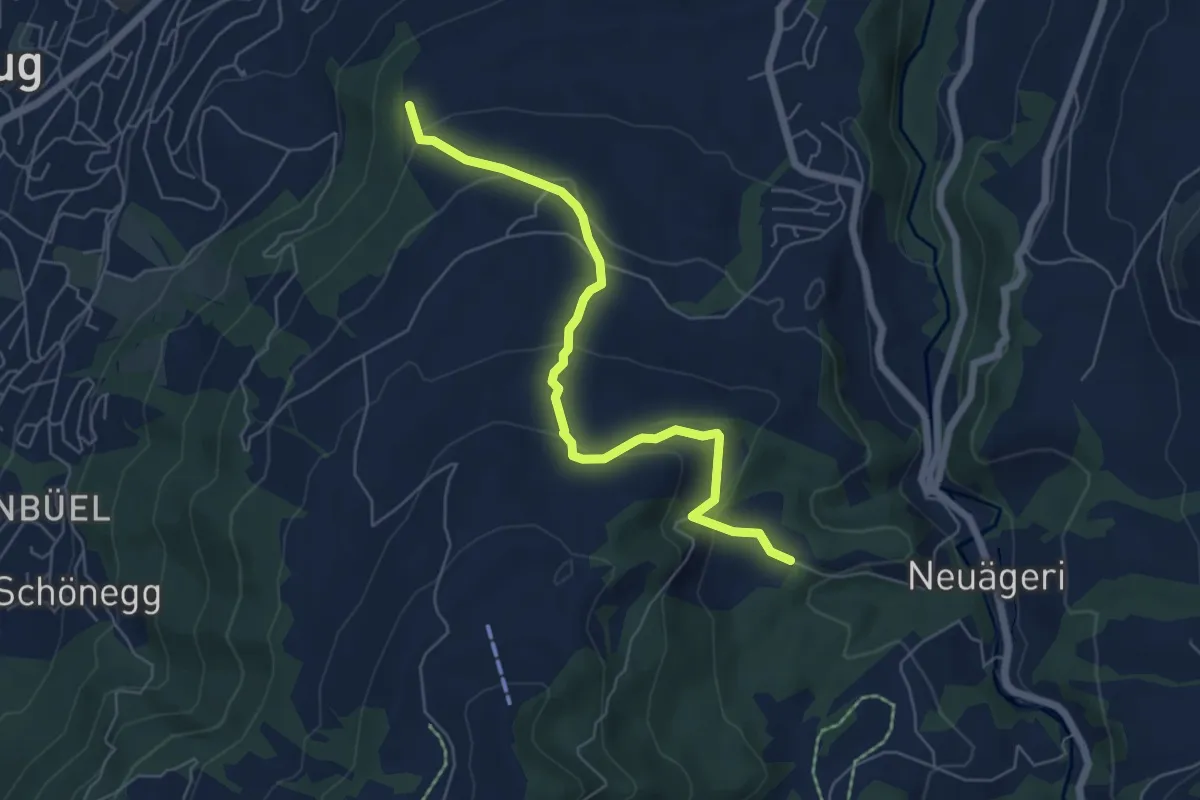
Easy · Trail
Steren-Unter Brunegg
6.0 km · ↑ 296 m · 2 h 3 min · 14 km away
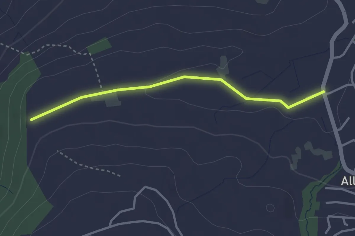
Easy · Trail
Steren - Allenwinden
2.7 km · ↑ 25 m · 41 min · 14 km away
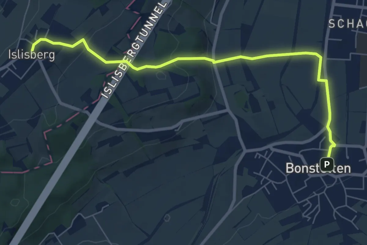
Easy · Trail
Bonstetten – Islisberg
6.4 km · ↑ 162 m · 1 h 51 min · 14 km away
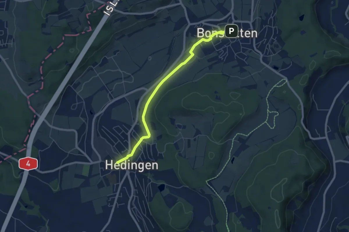
Easy · Trail
Hedingen Station – Bonstetten
5.8 km · ↑ 105 m · 1 h 36 min · 14 km away
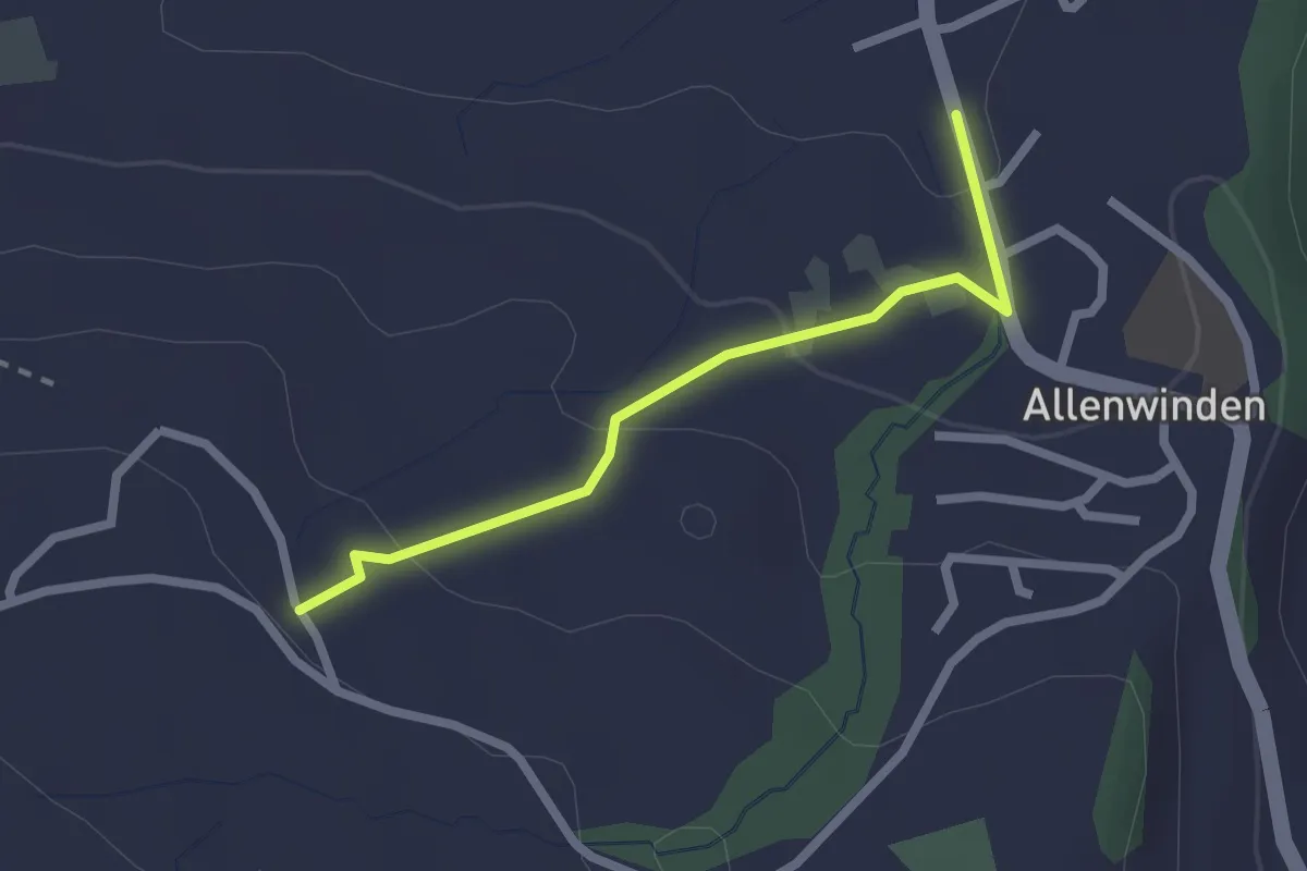
Easy · Trail
Bilgerighof - Allenwinden
2.1 km · ↑ 75 m · 40 min · 14 km away
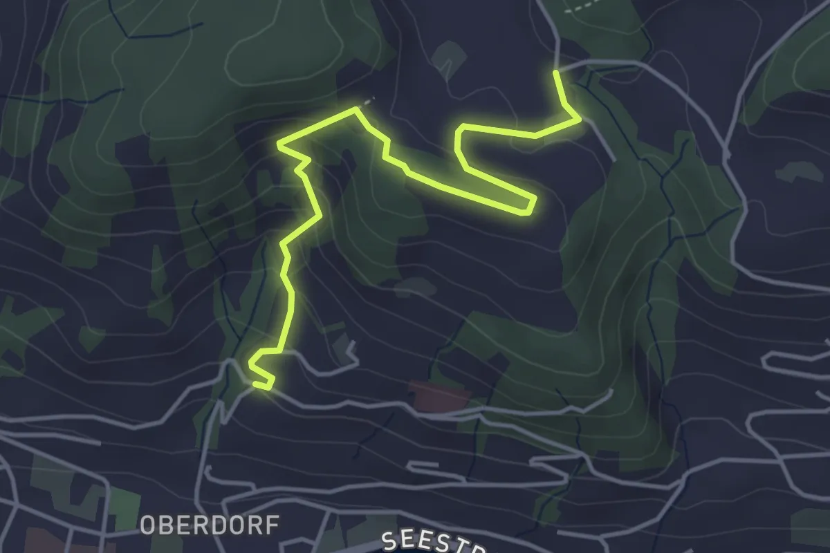
Medium · Trail
Heimhusen - Hinterwiden
4.4 km · ↑ 193 m · 1 h 28 min · 14 km away
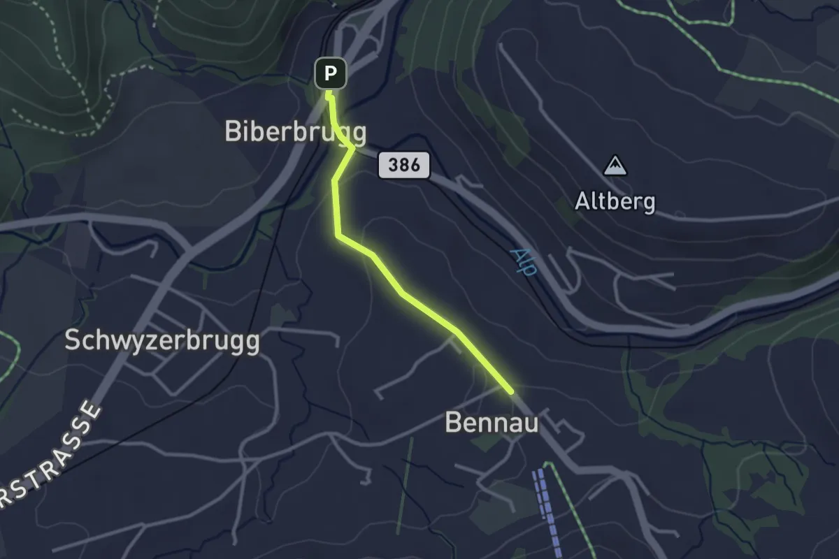
Easy · Trail
Biberbrugg – Bennau
2.3 km · ↑ 54 m · 40 min · 14 km away
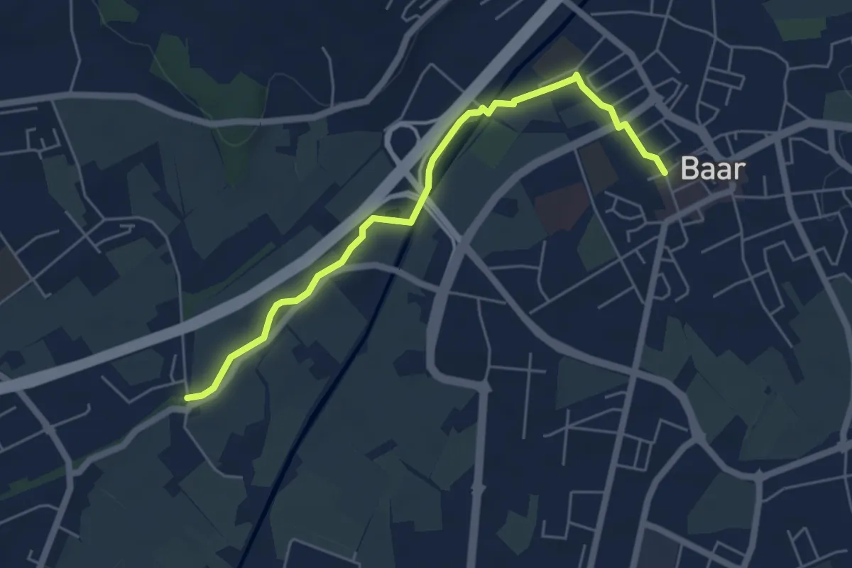
Easy · Trail
Schochenmühle - Baar
5.2 km · ↑ 17 m · 1 h 15 min · 14 km away
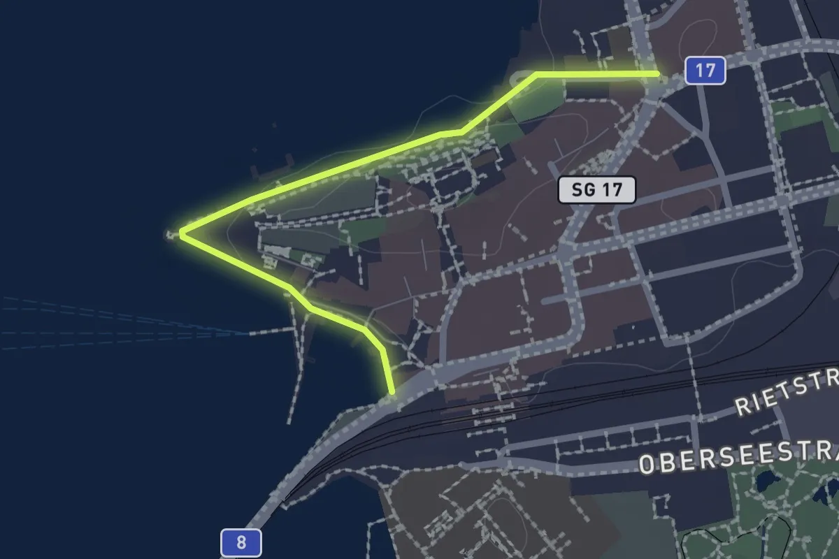
Easy · Trail
Stadthofplatz – Verkehrsbüro
2.1 km · ↑ 17 m · 33 min · 14 km away
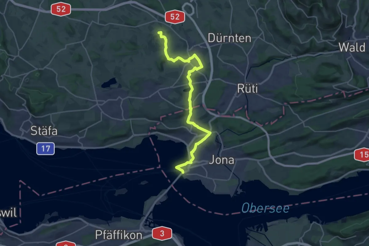
Medium · Summit
Schaffhauser-Zürcher-Weg
10.5 km · ↑ 218 m · 3 h 2 min · 14 km away
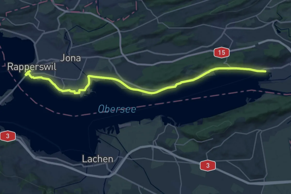
Demanding · Trail
Zürichsee Rundweg - Etappe 6
23.0 km · ↑ 109 m · 5 h 40 min · 14 km away
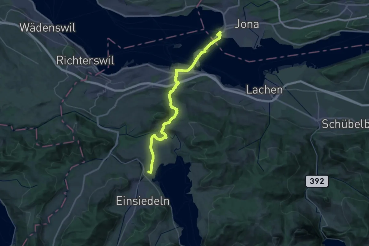
Demanding · Summit
ViaJacobi
27.8 km · ↑ 788 m · 8 h 17 min · 14 km away
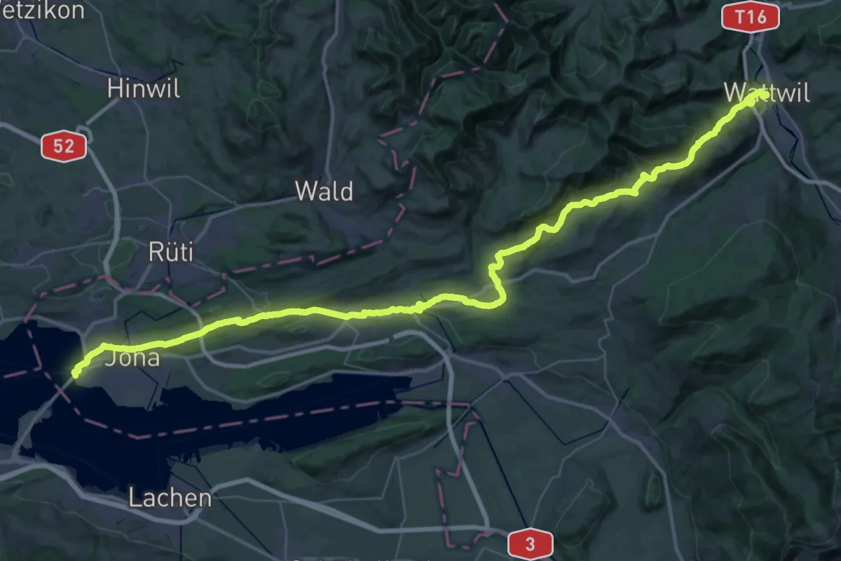
Demanding · Trail
ViaJacobi
27.6 km · ↑ 820 m · 8 h 35 min · 14 km away
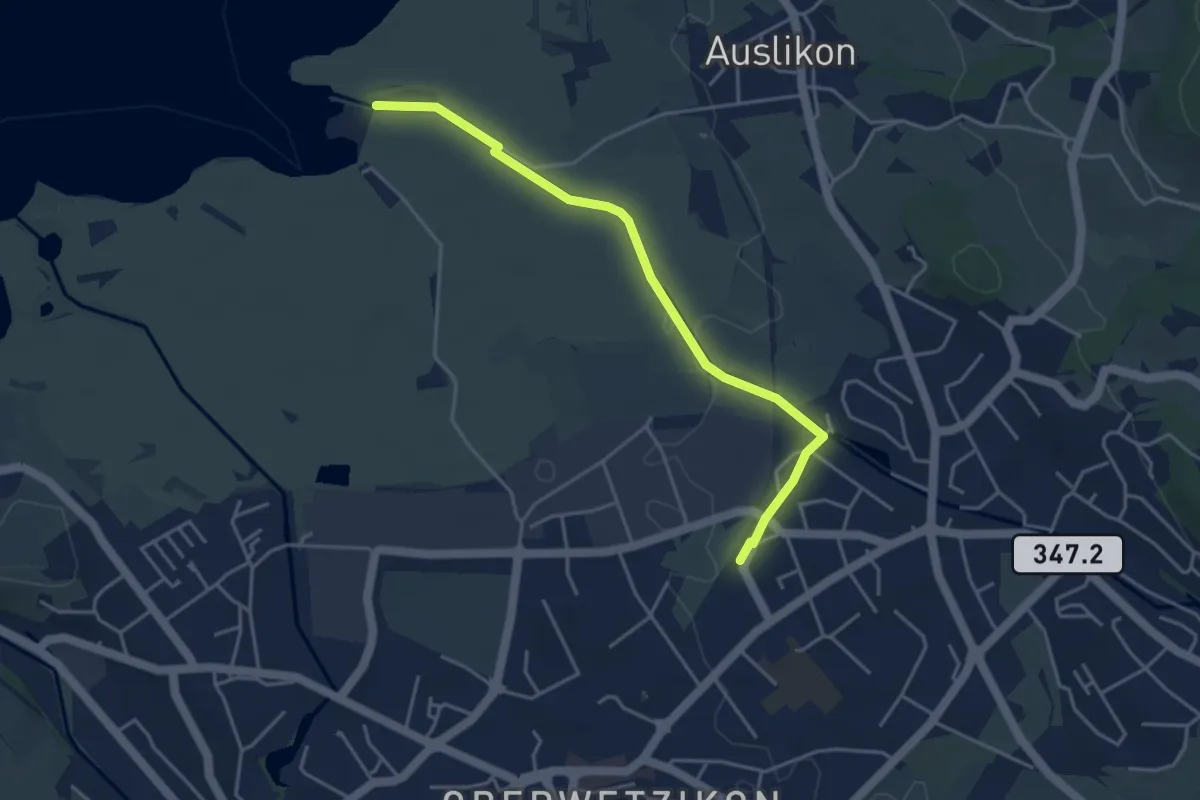
Easy · Trail
Strandbad Auslikon – Kempten
4.1 km · ↑ 17 m · 1 h 1 min · 14 km away
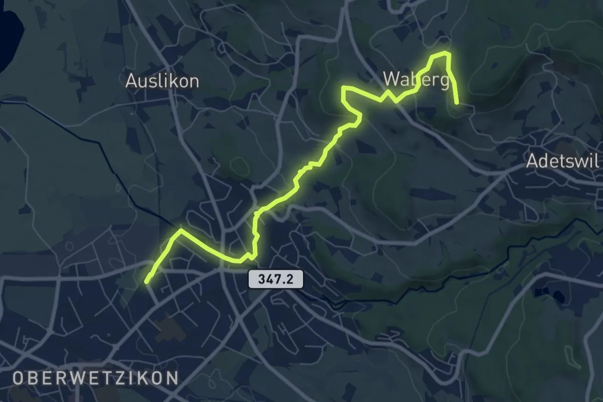
Medium · Trail
Kempten - Rosinli
8.2 km · ↑ 273 m · 2 h 32 min · 14 km away
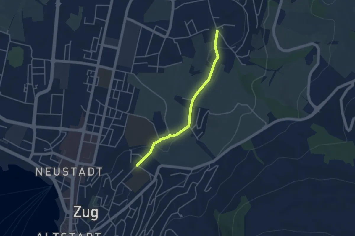
Easy · Trail
Inwil – Loreto
3.1 km · ↑ 32 m · 48 min · 14 km away
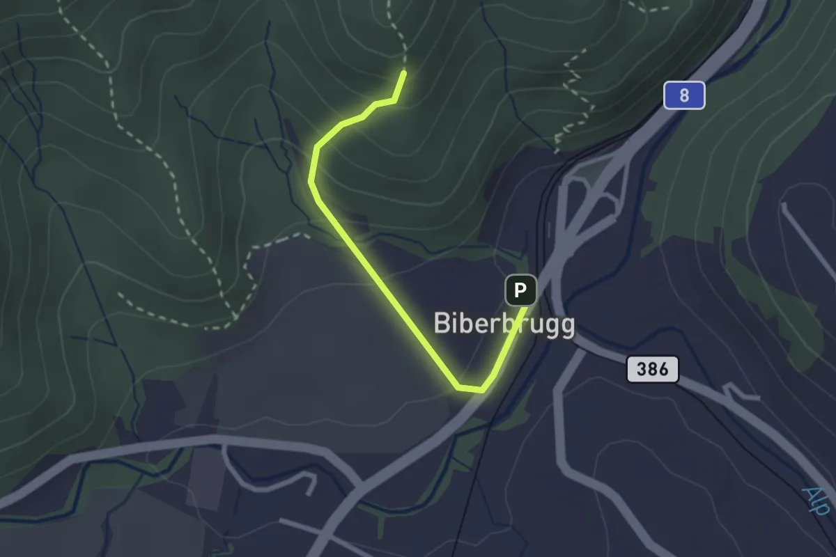
Easy · Trail
Biberbrugg – Chlimsen
2.2 km · ↑ 146 m · 51 min · 14 km away
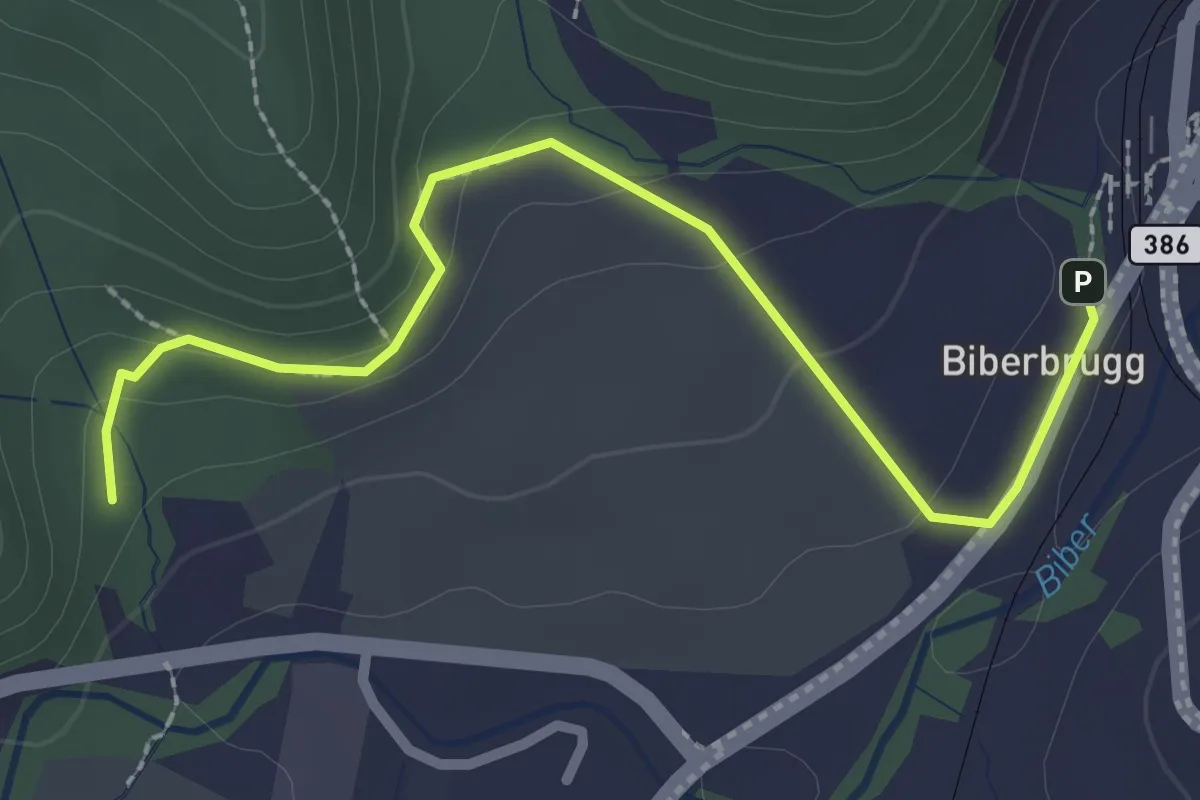
Easy · Trail
Biberbrugg – Tomisloch
2.7 km · ↑ 108 m · 53 min · 14 km away
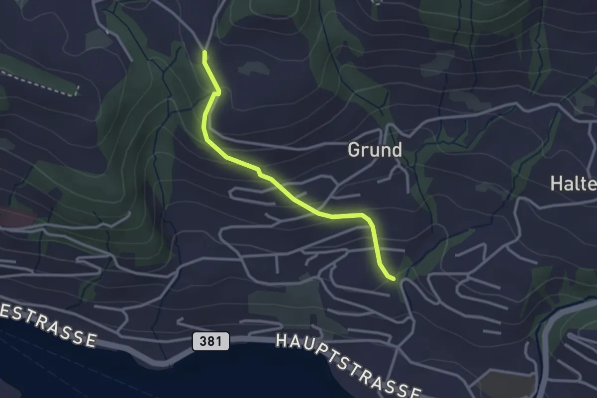
Easy · Trail
Hinterschneit - Gruben
2.5 km · ↑ 154 m · 55 min · 14 km away
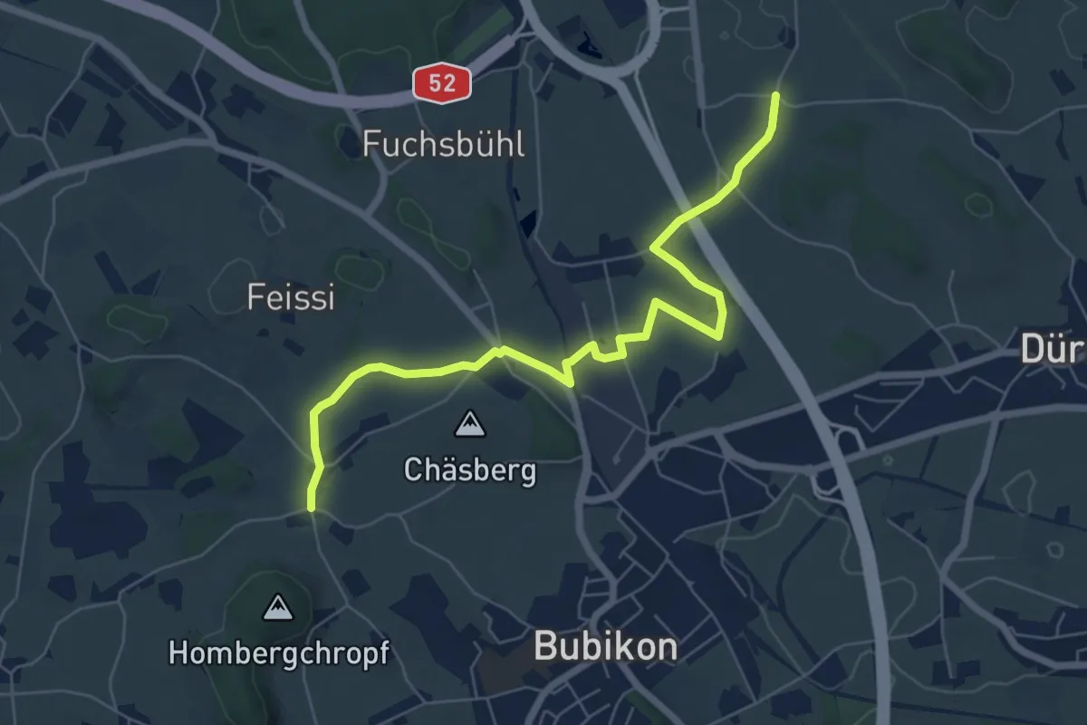
Easy · Trail
Oberhof – Sennschür
6.9 km · ↑ 72 m · 1 h 47 min · 14 km away
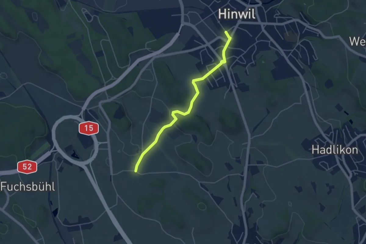
Easy · Trail
Hinwil - Oberhof
4.4 km · ↑ 32 m · 1 h 6 min · 14 km away
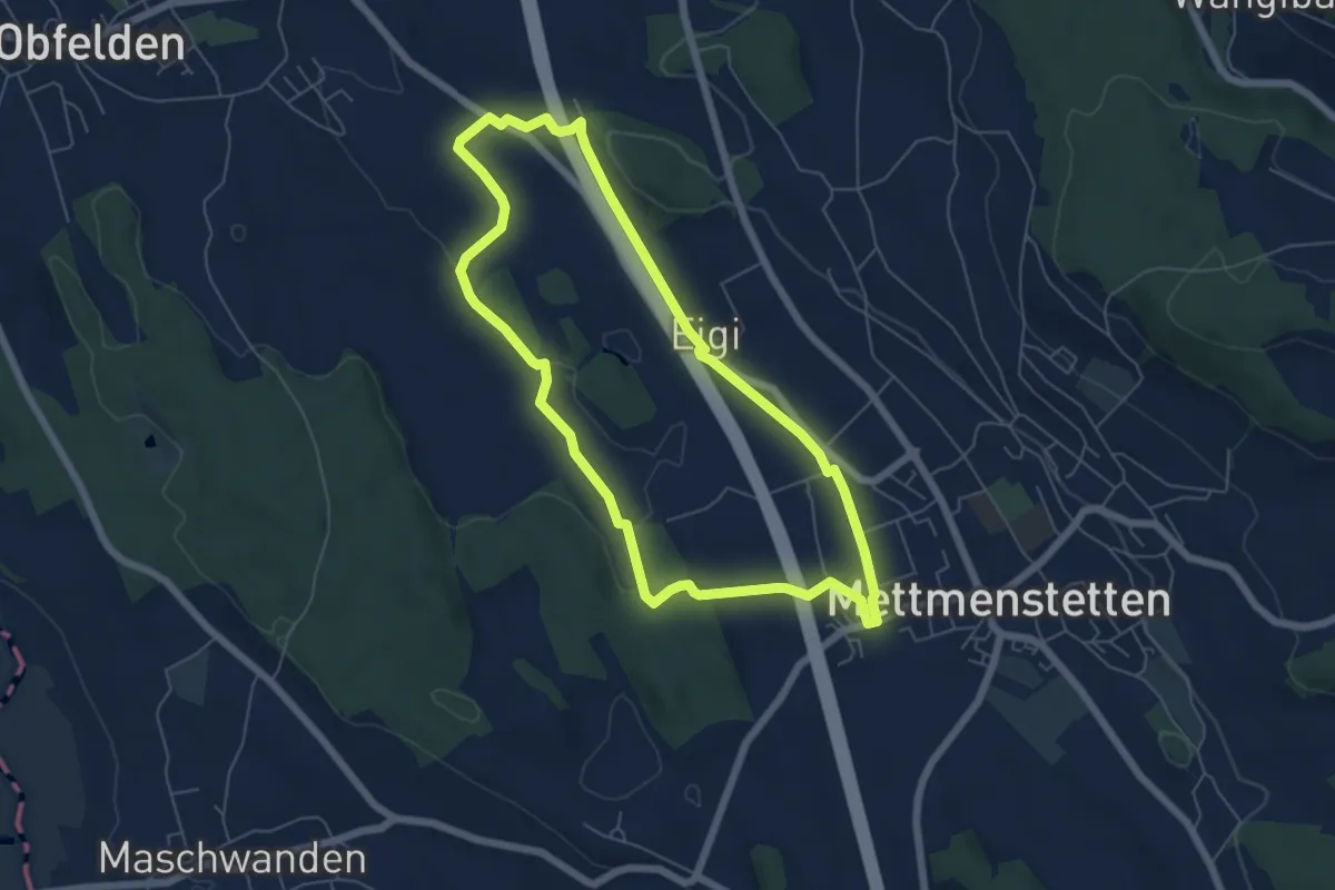
Easy · Trail
Mättmiwäg Dachlissen
5.8 km · ↑ 52 m · 1 h 34 min · 14 km away
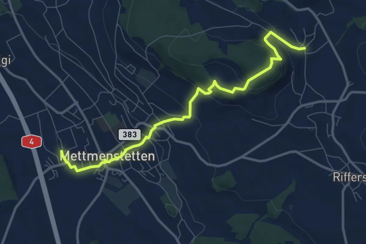
Medium · Trail
Herferswil – Mettmenstetten
7.9 km · ↑ 330 m · 2 h 34 min · 14 km away
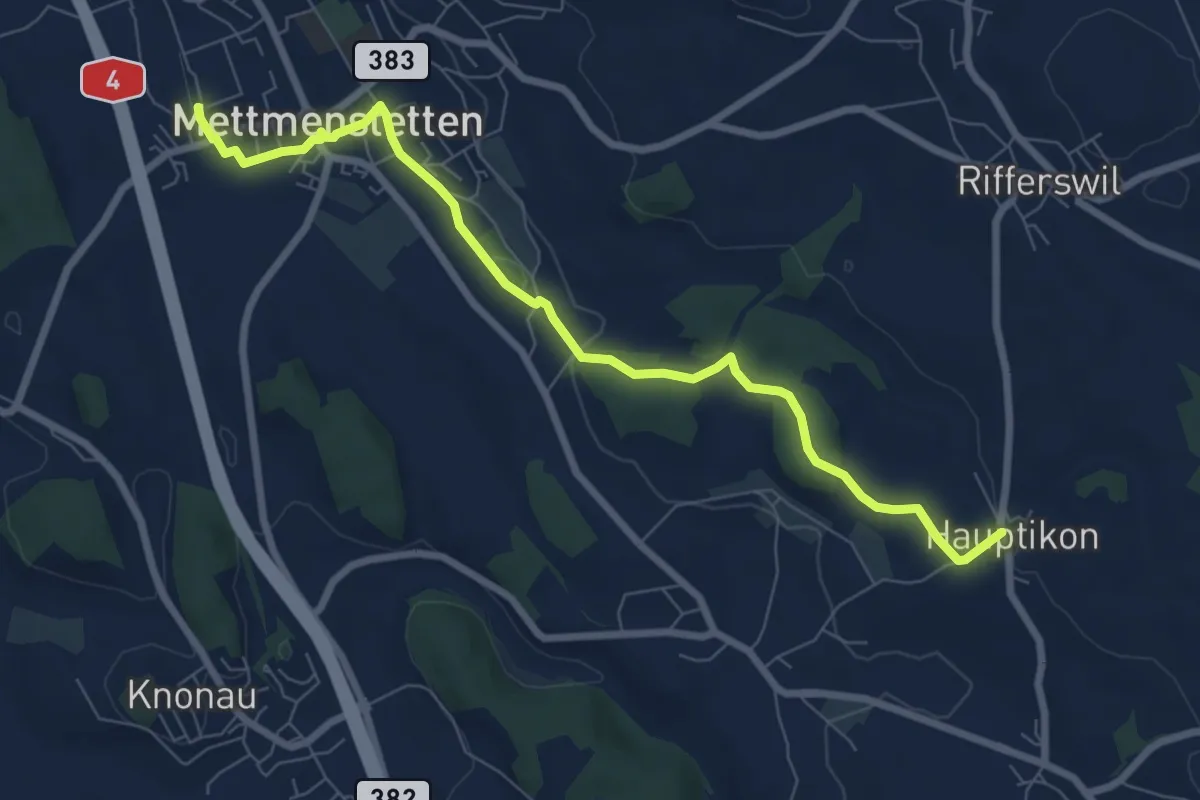
Medium · Trail
Mettmenstetten – Hauptikon
8.0 km · ↑ 117 m · 2 h 9 min · 14 km away
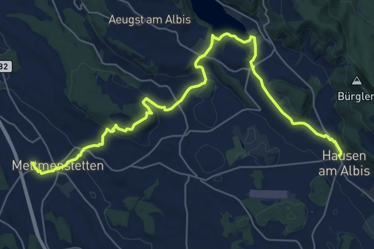
Demanding · Trail
Familien-Wanderweg - Orientierung
20.4 km · ↑ 596 m · 6 h 6 min · 14 km away
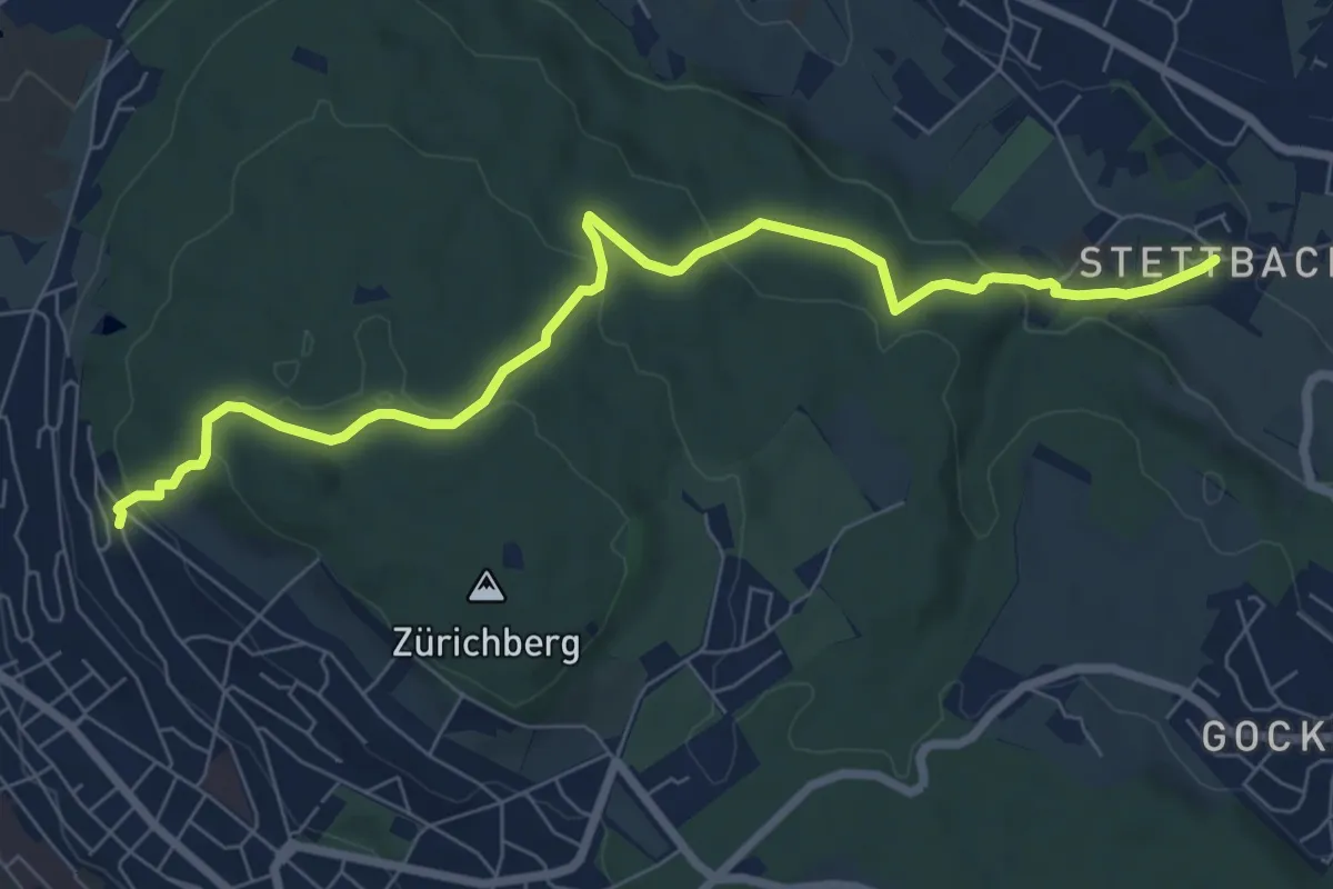
Easy · Pilgrim path
Hugenotten- und Waldenserweg
4.0 km · ↑ 223 m · 1 h 24 min · 14 km away
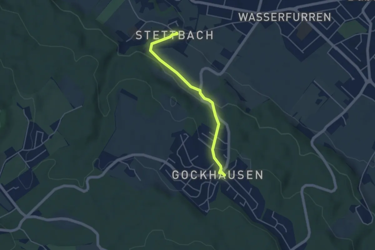
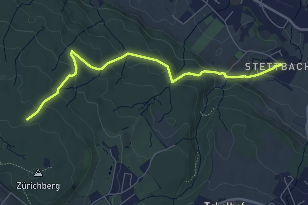
Easy · Trail
Gockhausen – Stettbach
3.7 km · ↑ 119 m · 1 h 8 min · 14 km away
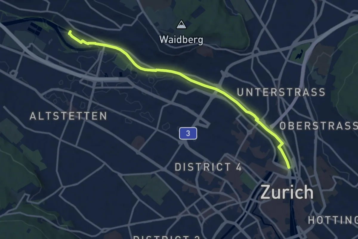
Easy · Trail
Stettbach – Zürichberg
5.6 km · ↑ 230 m · 1 h 50 min · 14 km away
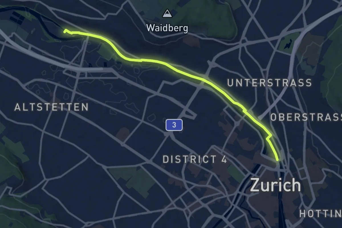
Easy · Pilgrim path
Hugenotten- und Waldenserweg
5.4 km · ↑ 28 m · 1 h 24 min · 14 km away
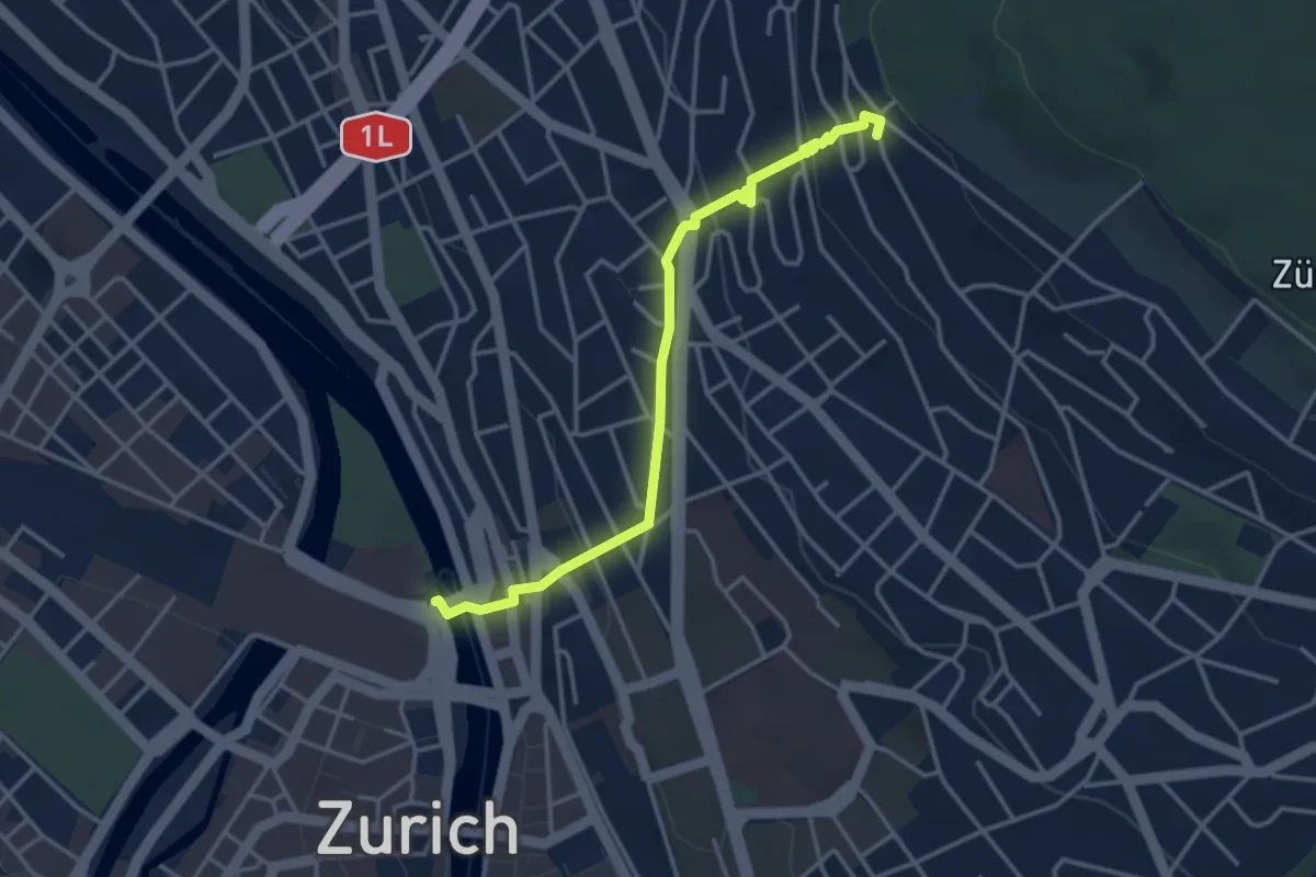
Medium · Trail
Zürich HB – Werdinsel
10.1 km · ↑ 48 m · 2 h 29 min · 14 km away
Easy · Pilgrim path
Hugenotten- und Waldenserweg
1.8 km · ↑ 189 m · 46 min · 14 km away
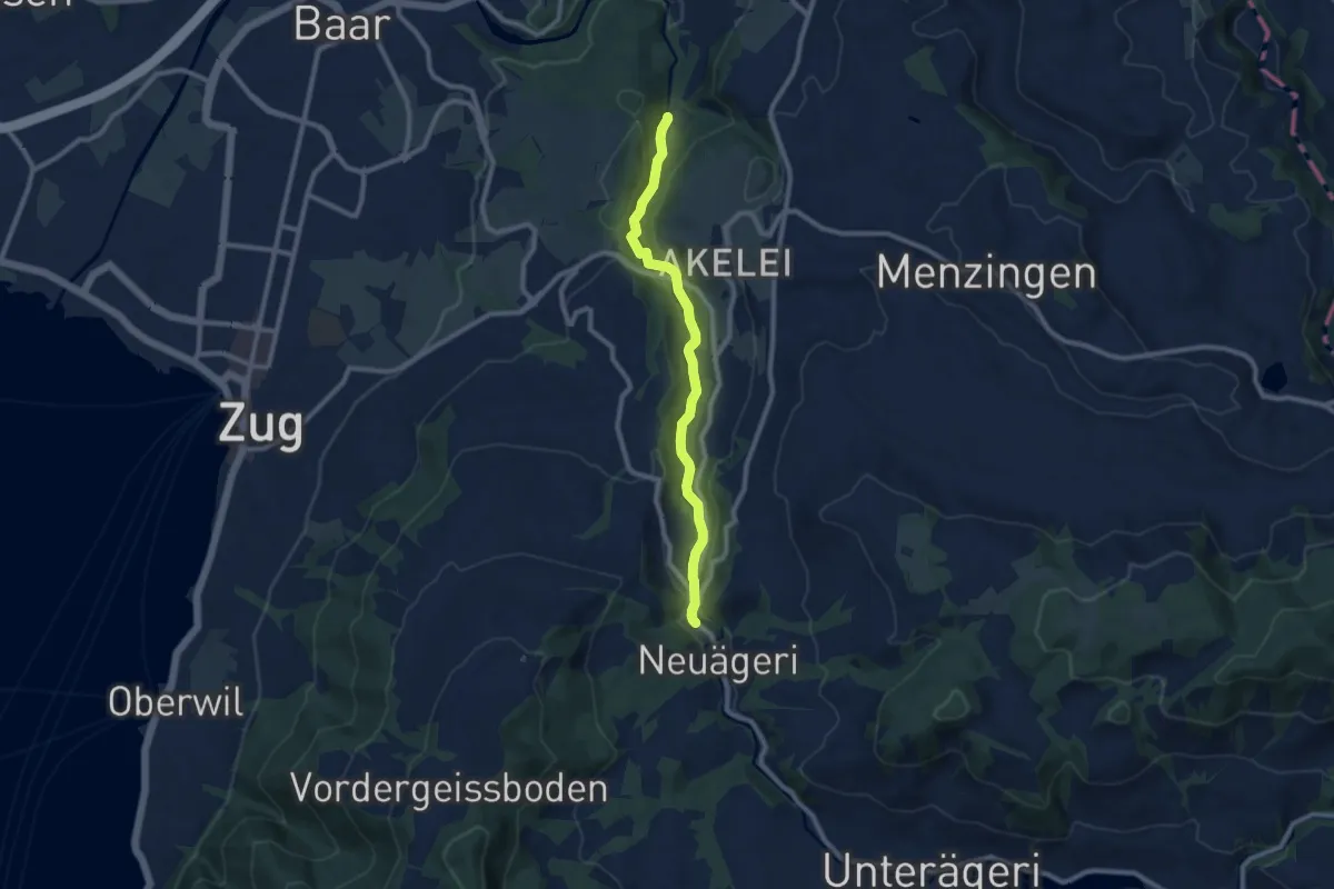
Medium · Trail
Höllbrücke - Schmittli
8.7 km · ↑ 242 m · 2 h 34 min · 14 km away
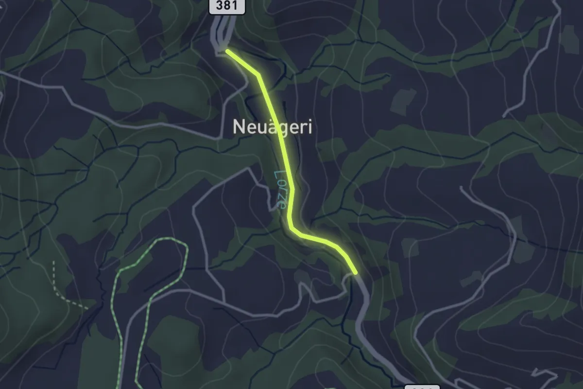
Easy · Trail
Schmittli - Mülischwändi Brücke
2.1 km · ↑ 36 m · 35 min · 14 km away
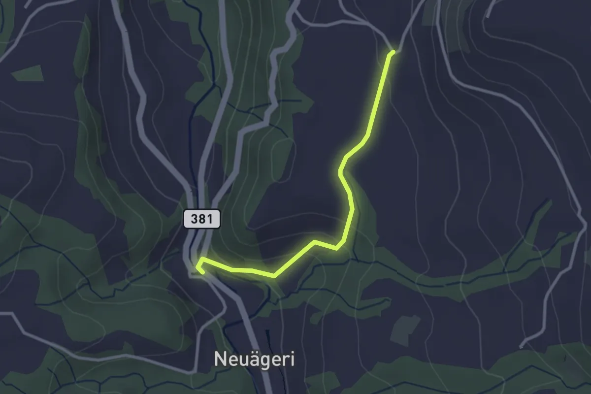
Easy · Trail
Schmittli - Heiterstalden
2.5 km · ↑ 99 m · 49 min · 14 km away
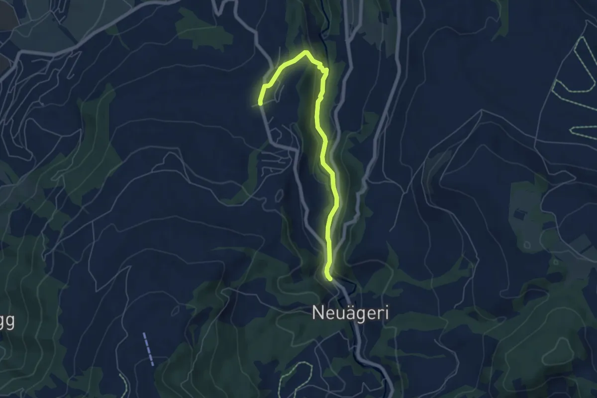
Easy · Trail
Schmittli - Allenwinden
5.6 km · ↑ 136 m · 1 h 37 min · 14 km away