Trails near Muttenz
370 hikes starting within 15 km, nearest first.
Nearest first, page 8 of 8
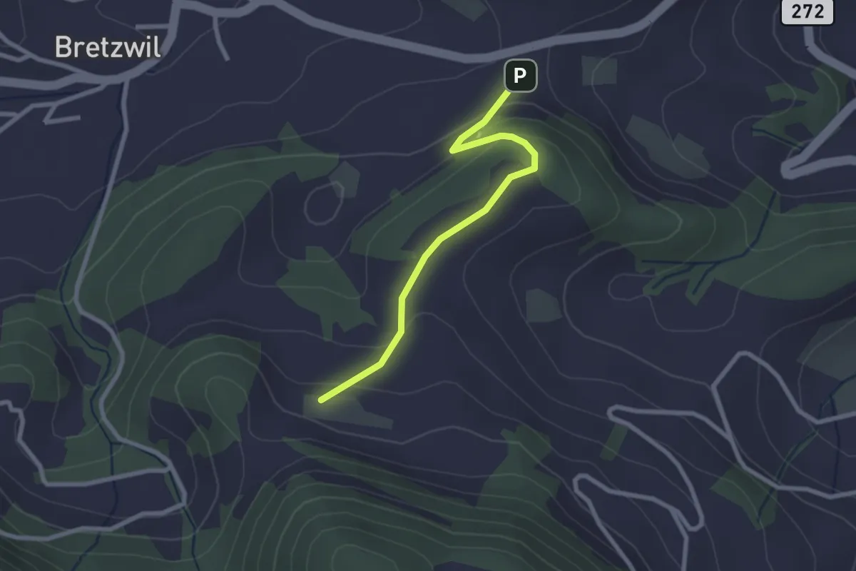
Easy · Trail
Ramstein – Eichhöhe
2.4 km · ↑ 114 m · 48 min · 14 km away
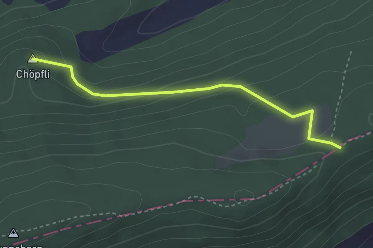
Easy · Summit
Mätzlerenchrüz – Metzerlen
2.7 km · ↑ 146 m · 58 min · 14 km away
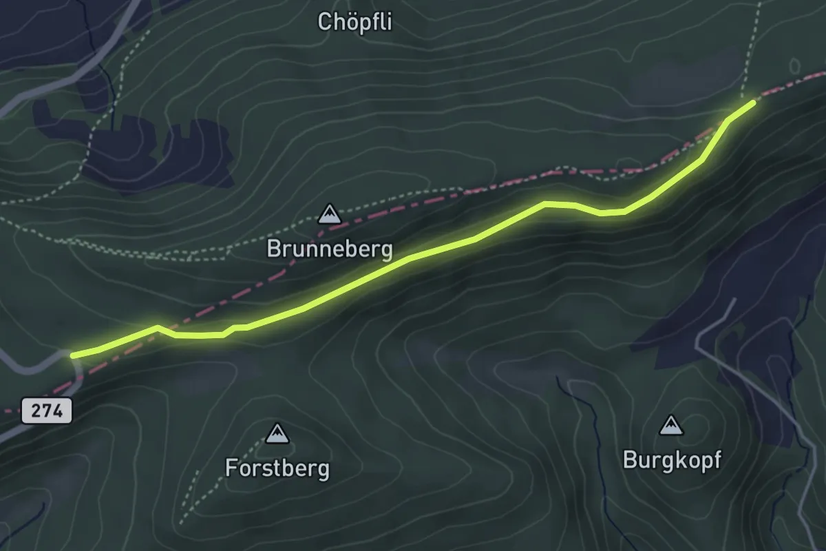
Easy · Trail
Mätzerlechrütz – Challpass
4.4 km · ↑ 139 m · 1 h 20 min · 14 km away
Easy · Trail
Schwinle Kreuz - Holzacker
2.8 km · ↑ 88 m · 51 min · 14 km away
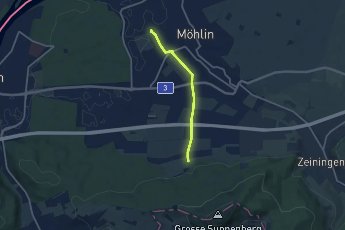
Easy · Trail
Kymshof – Möhlin
5.3 km · ↑ 60 m · 1 h 22 min · 14 km away
Easy · Trail
Liestal-Hölstein
5.2 km · ↑ 229 m · 1 h 44 min · 14 km away
Demanding · Summit
Jurahöhenweg Liestal-Belchenflue
22.9 km · ↑ 1106 m · 7 h 49 min · 14 km away
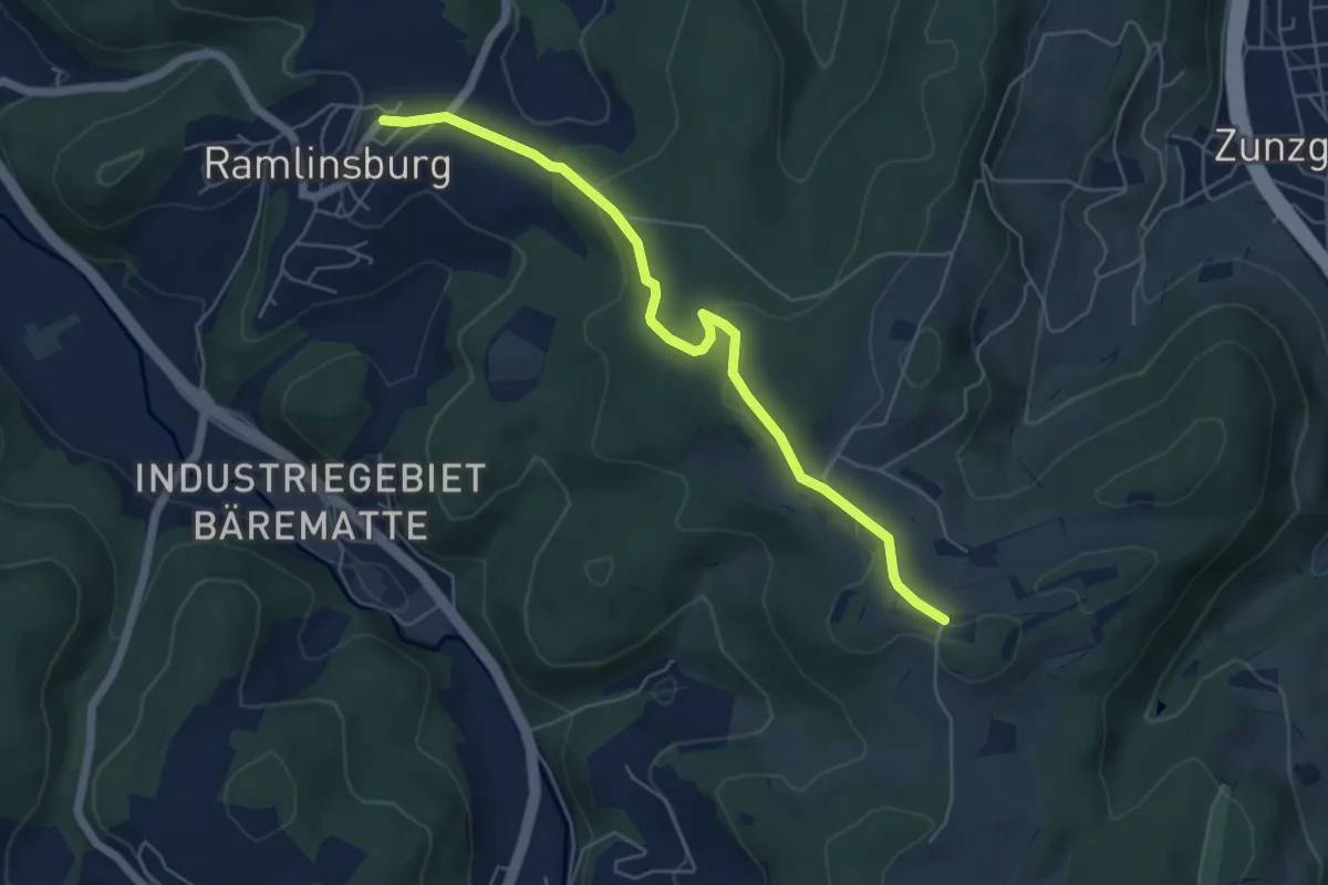
Easy · Trail
Zungerberg – Ramlinsburg
5.6 km · ↑ 105 m · 1 h 33 min · 14 km away
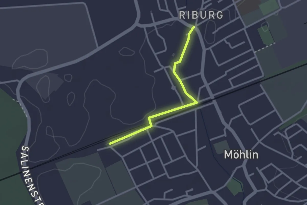
Easy · Trail
Riburg – Möhlin
2.2 km · ↑ 4 m · 32 min · 14 km away
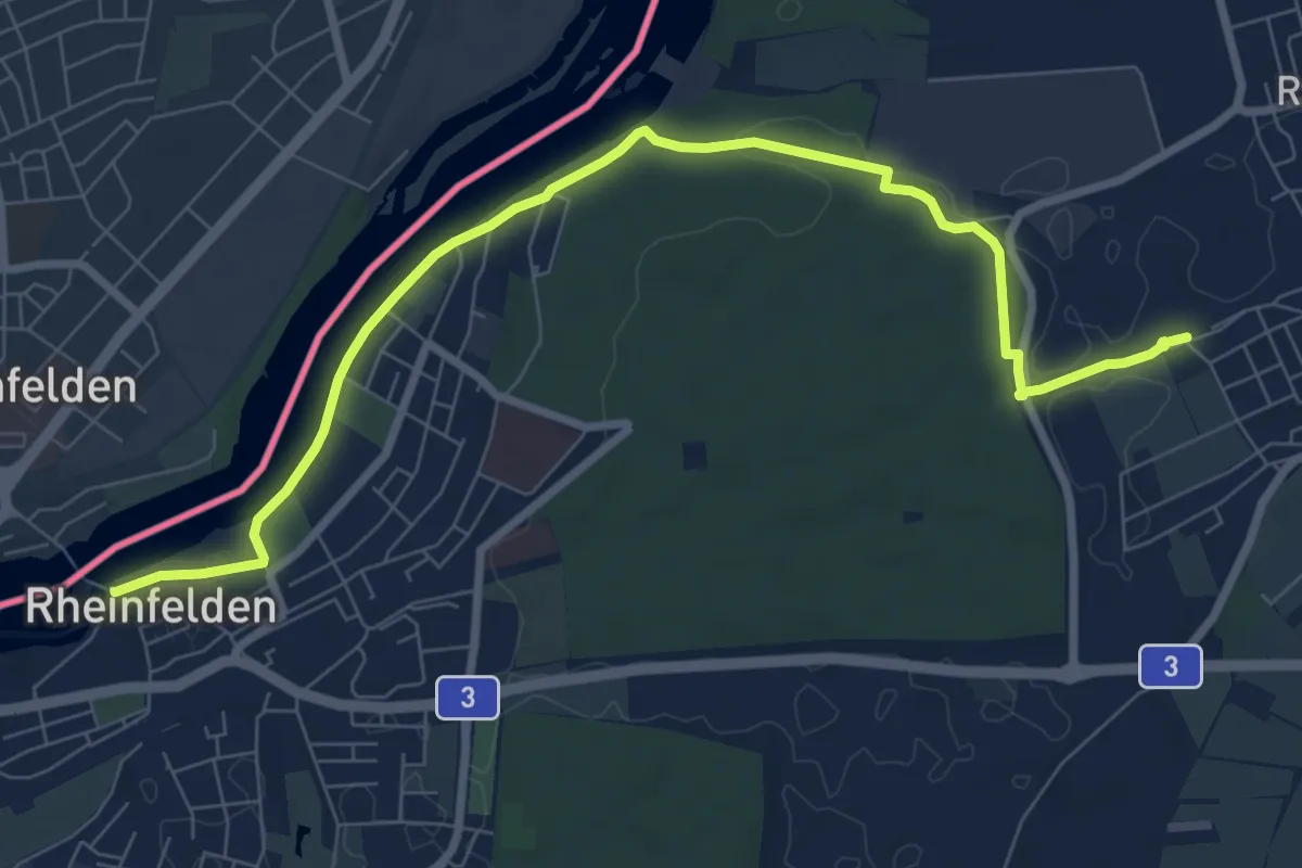
Medium · Trail
Rheinfelden – Möhlin
9.1 km · ↑ 73 m · 2 h 18 min · 14 km away
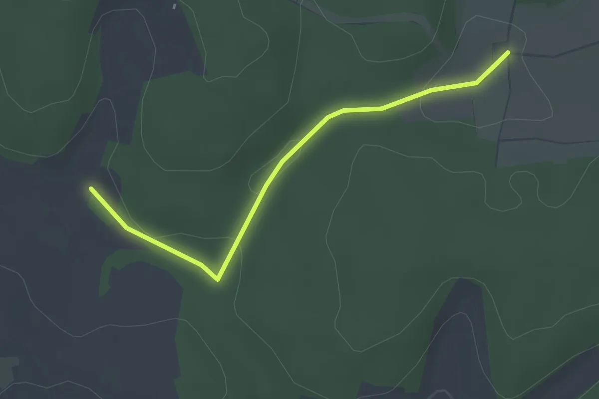
Easy · Trail
Angerswil - Schluckacker
2.7 km · ↑ 39 m · 44 min · 15 km away
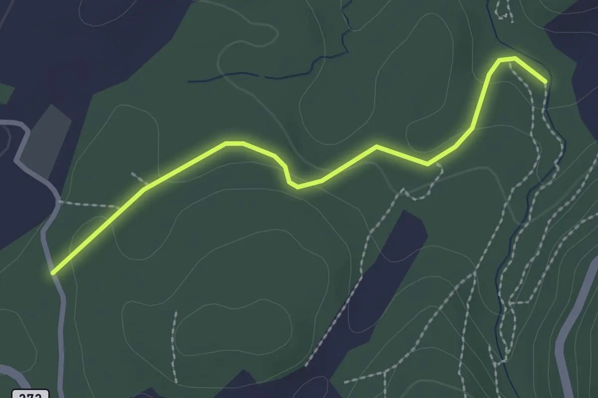
Easy · Trail
Ibach – Breitenbach?
2.3 km · ↑ 48 m · 39 min · 15 km away
Easy · Trail
Le Sentier Vert 6 km
5.3 km · ↑ 118 m · 1 h 34 min · 15 km away
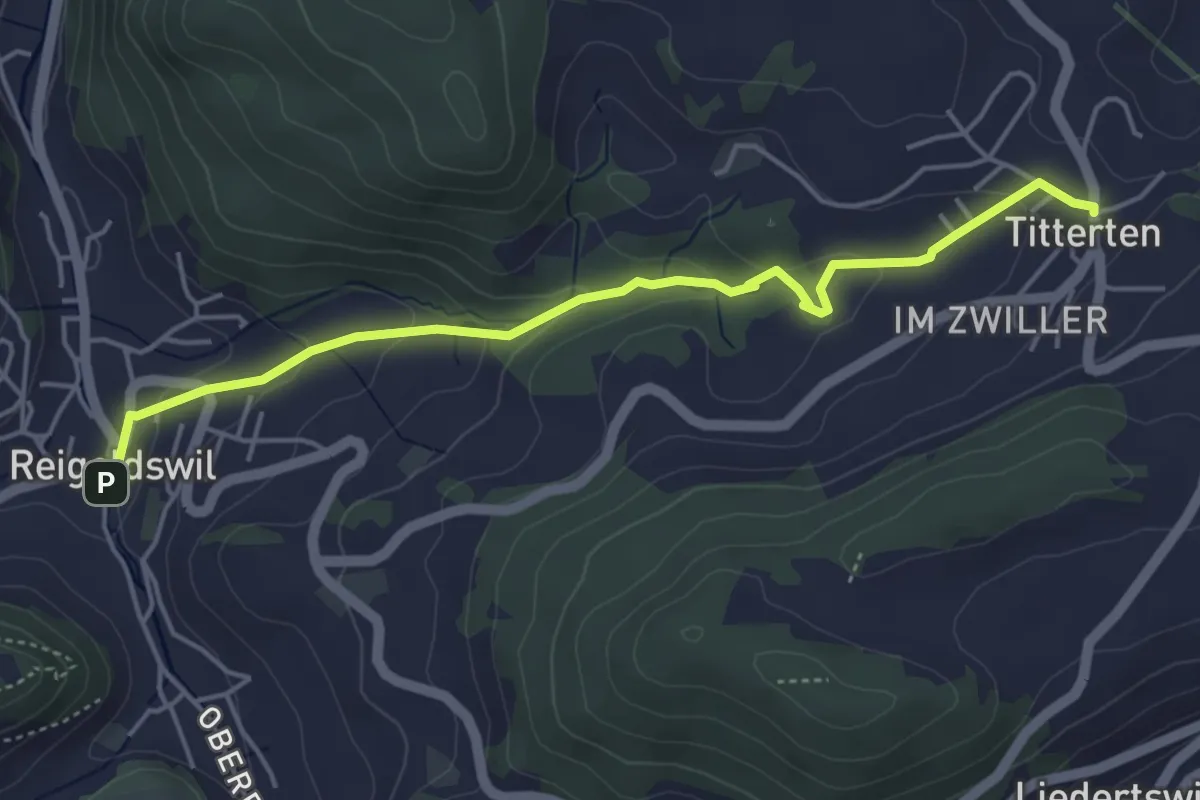
Easy · Trail
Reigoldswil – Titterten
4.7 km · ↑ 165 m · 1 h 28 min · 15 km away
Easy · Trail
Wittlingen Am Rathaus - Eselplatz
3.3 km · ↑ 115 m · 1 h 1 min · 15 km away
Easy · Trail
Wasserreservoir - Wittlingen Am Rathaus
4.7 km · ↑ 110 m · 1 h 21 min · 15 km away
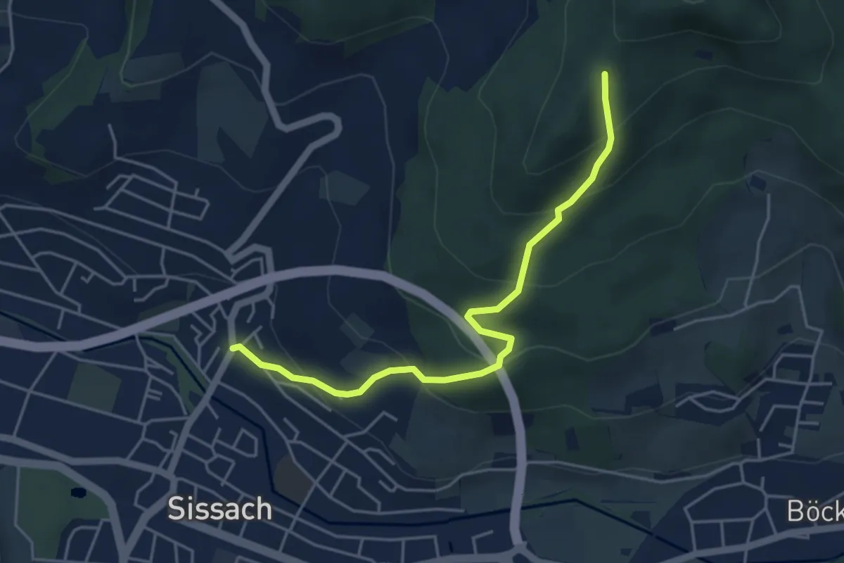
Easy · Trail
Sissach Bergweg – Ruine Bischofstein
4.4 km · ↑ 306 m · 1 h 42 min · 15 km away
Easy · Summit
Kymshof
5.4 km · ↑ 263 m · 1 h 50 min · 15 km away
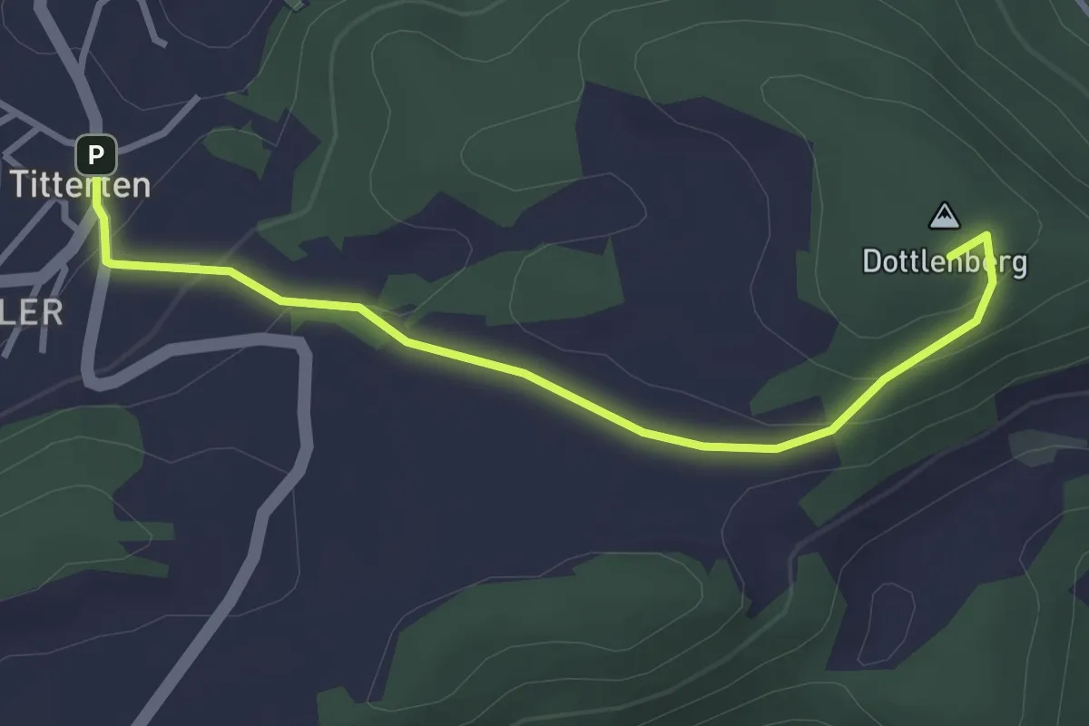
Easy · Summit
Niederdorf – Titterten
3.2 km · ↑ 132 m · 1 h 3 min · 15 km away
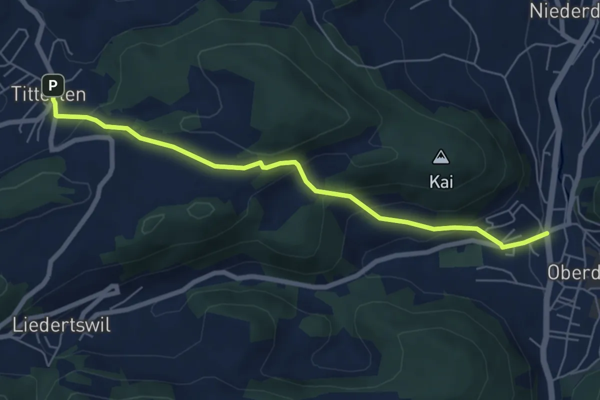
Easy · Trail
Titterten – Rössliplatz
5.5 km · ↑ 319 m · 1 h 59 min · 15 km away
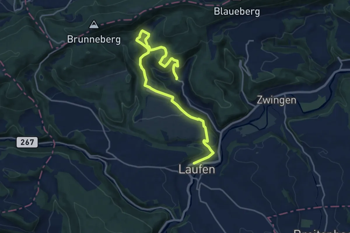
Medium · Trail
Baselbieter Wiesentouren
15.3 km · ↑ 638 m · 5 h · 15 km away
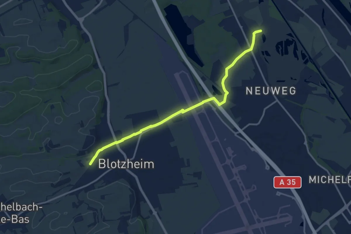
Medium · Trail
Blotzhein – Welschen Schlag
10.2 km · ↑ 39 m · 2 h 30 min · 15 km away
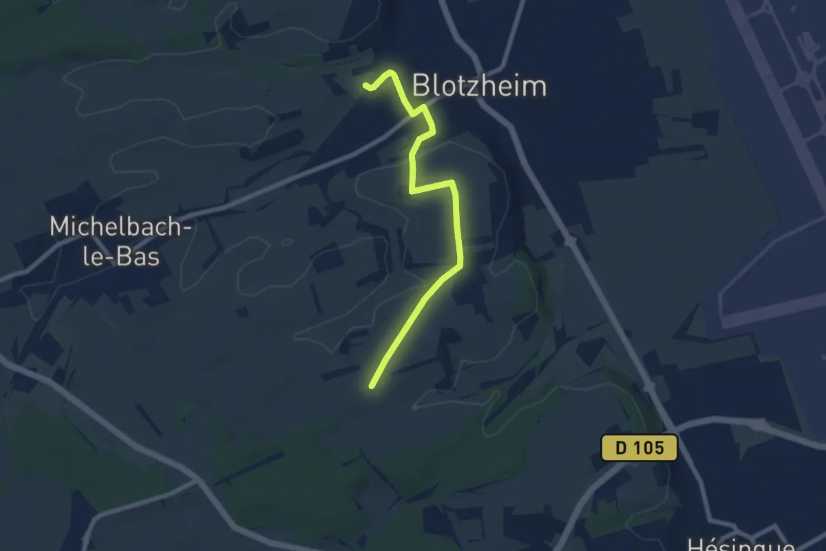
Easy · Trail
Blotzheim – Attenschweler Weg
5.8 km · ↑ 70 m · 1 h 32 min · 15 km away
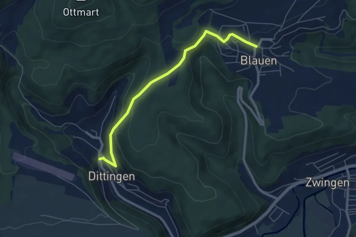
Easy · Trail
Blauen – Dittingen
5.2 km · ↑ 257 m · 1 h 47 min · 15 km away
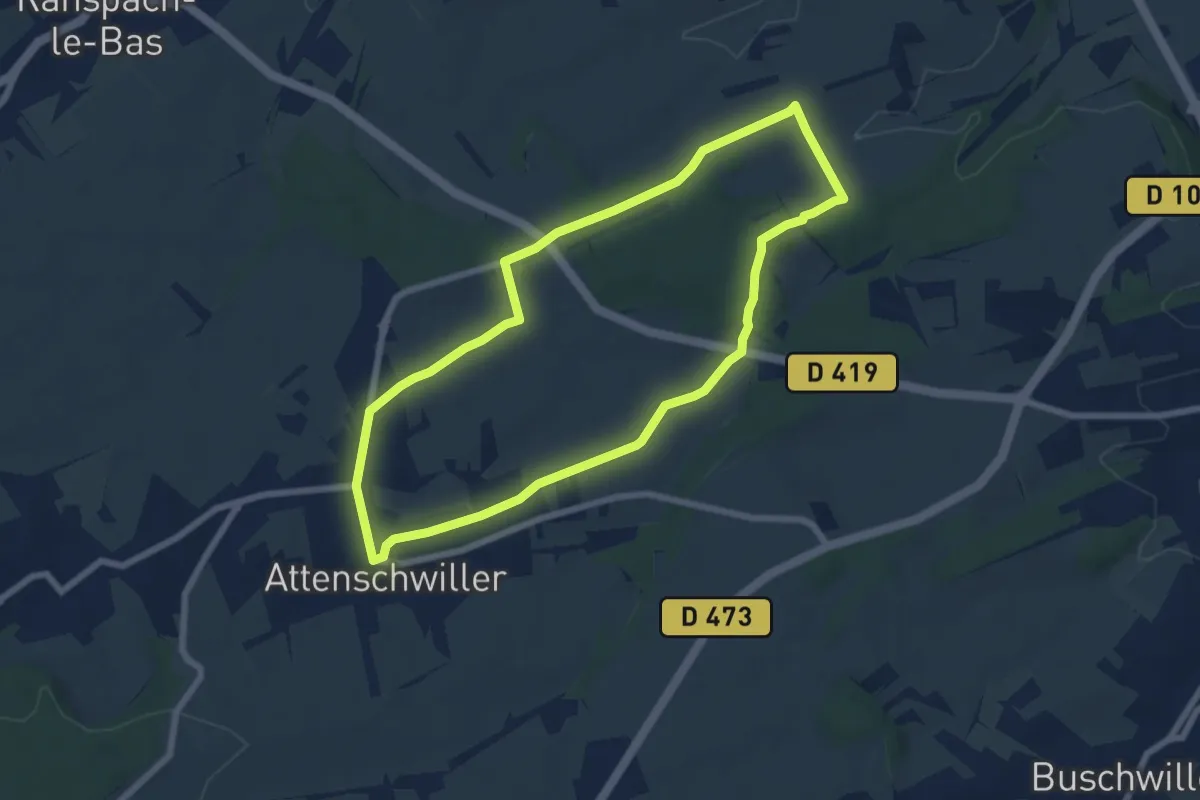
Easy · Trail
Attenschwiller – Attenschwiller
6.5 km · ↑ 102 m · 1 h 50 min · 15 km away
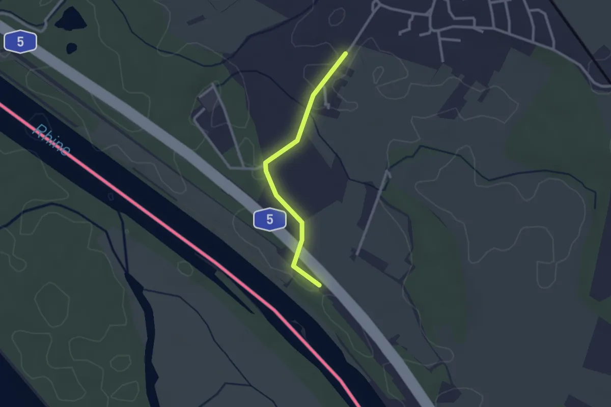
Easy · Trail
Gutenau - Kirchener Schwellen
2.2 km · ↑ 9 m · 32 min · 15 km away
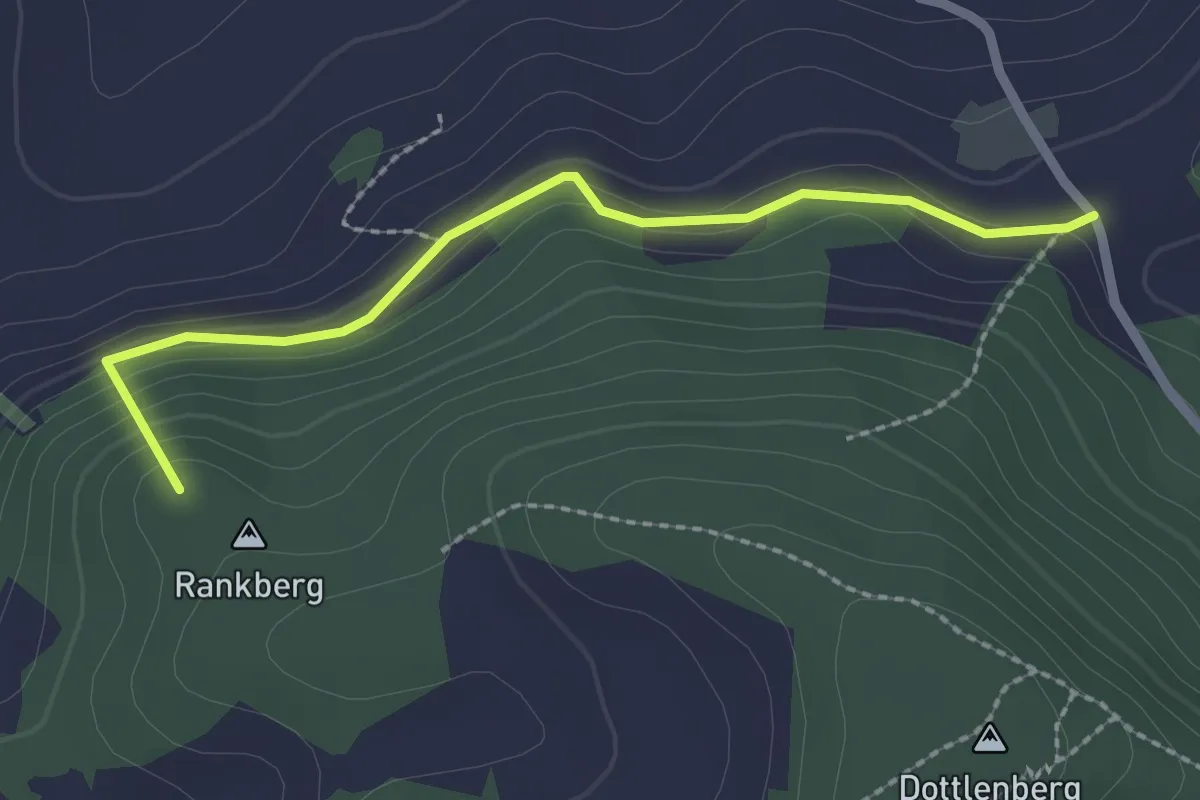
Easy · Summit
Ober Serzach – Titterten
2.2 km · ↑ 106 m · 45 min · 15 km away
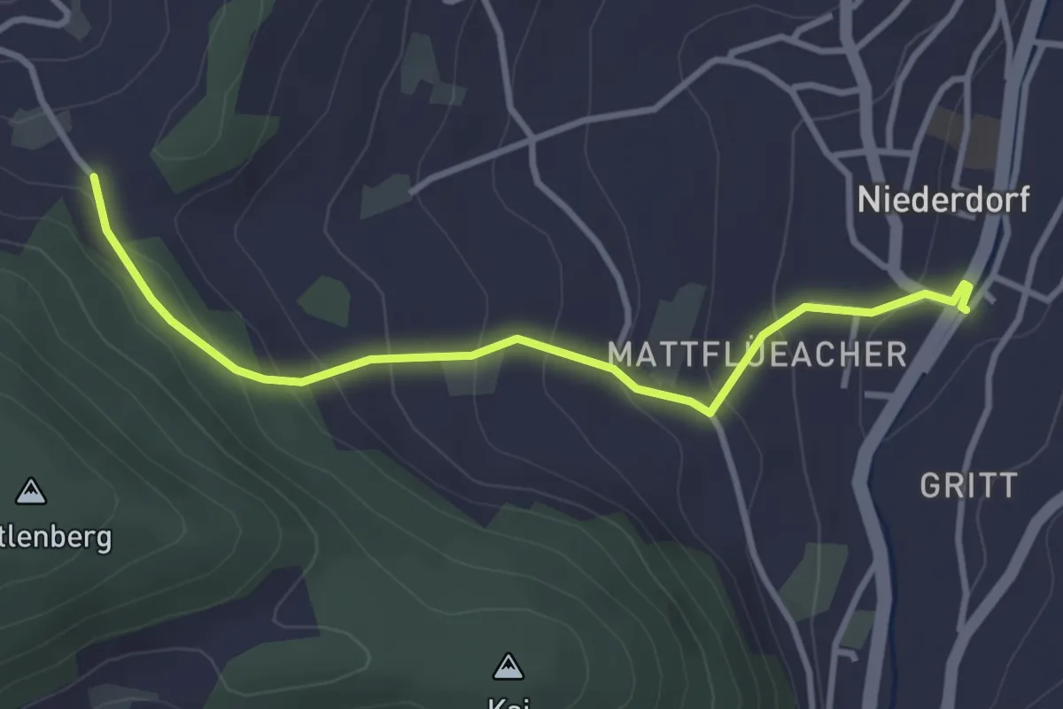
Easy · Trail
Niederdorf – Ober Serzach
3.3 km · ↑ 204 m · 1 h 13 min · 15 km away
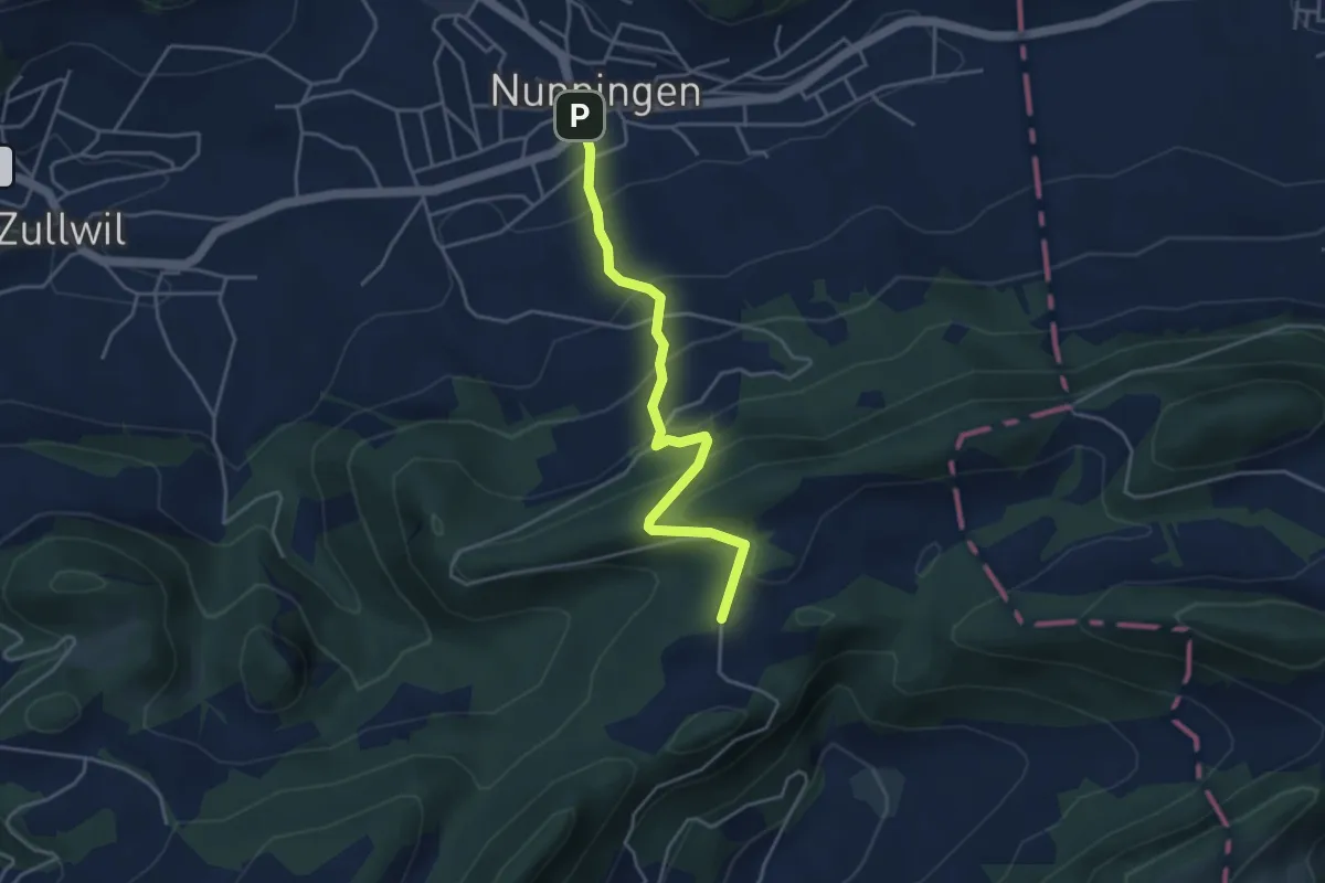
Easy · Trail
Nunningerberg – Nunningen Dorf
4.0 km · ↑ 284 m · 1 h 33 min · 15 km away
Easy · Trail
Schloss Beuggen - Bei der Tschamberhöhle
2.7 km · ↑ 47 m · 44 min · 15 km away
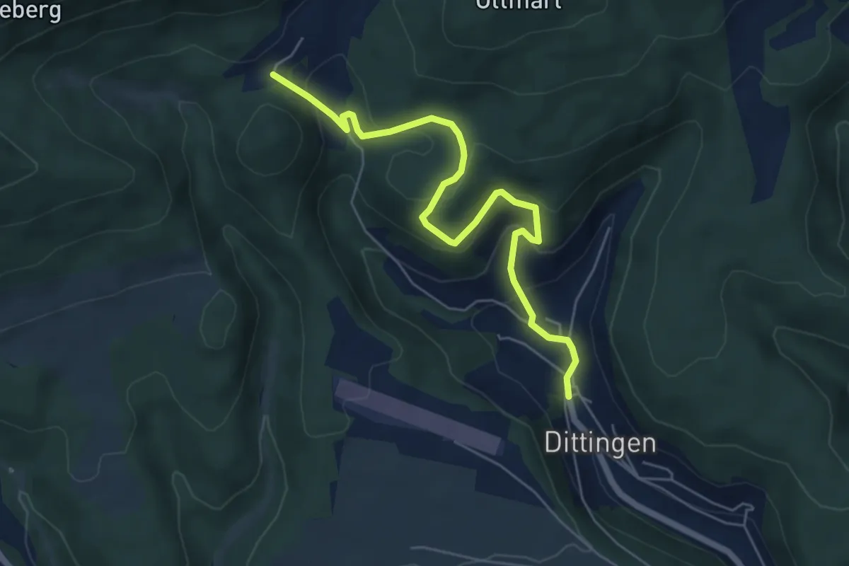
Easy · Trail
Bergmattenhof – Dittingen
5.8 km · ↑ 305 m · 2 h 1 min · 15 km away
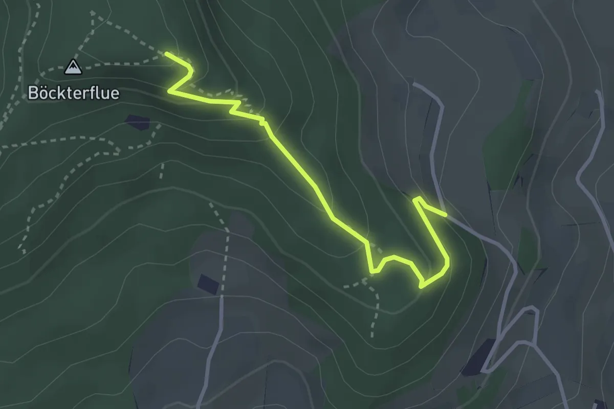
Easy · Trail
Rickenbacherflue – Dottmesen
2.9 km · ↑ 198 m · 1 h 7 min · 15 km away
Easy · Summit
Sunnenberg - Maisprach
5.2 km · ↑ 255 m · 1 h 47 min · 15 km away
Easy · Trail
Stockacher - Maisprach
3.7 km · ↑ 134 m · 1 h 10 min · 15 km away