Trails near Neuchâtel
187 hikes starting within 15 km, nearest first.
Nearest first, page 4 of 4
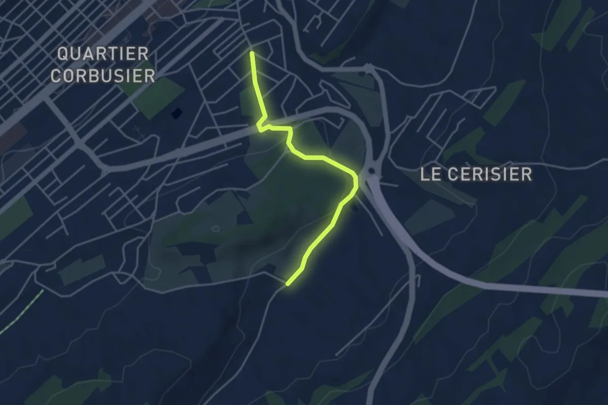
Easy · Trail
Le Chaux-de-Fonds Grenier – Grandes Crosettes
3.5 km · ↑ 67 m · 58 min · 13 km away
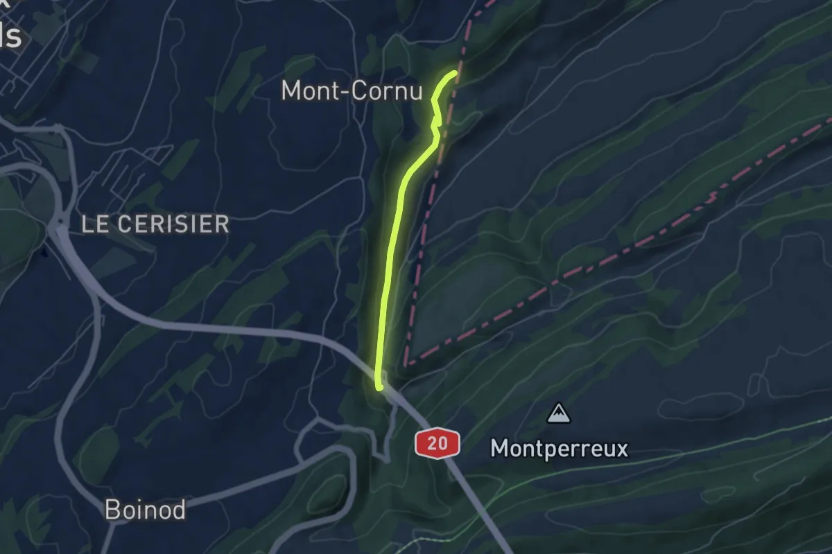
Easy · Trail
Le Creux – Les Convers
4.0 km · ↑ 99 m · 1 h 9 min · 13 km away
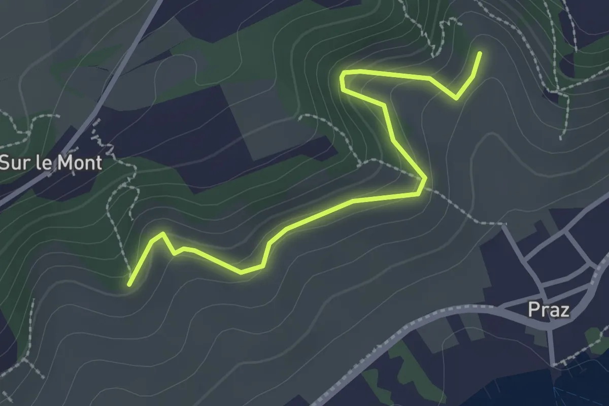
Easy · Trail
Roches Grises – Creux-de-Praz
2.6 km · ↑ 136 m · 55 min · 13 km away
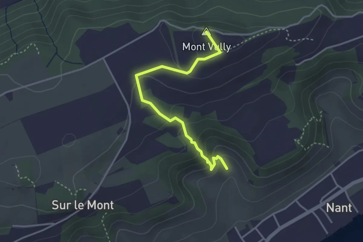
Easy · Summit
Creux-de-Praz – Mont Vully
3.2 km · ↑ 189 m · 1 h 10 min · 13 km away
Easy · Trail
La Neuveville – Le Landeron
4.3 km · ↑ 19 m · 1 h 3 min · 13 km away
Easy · Trail
La Dame – Chuffort
5.1 km · ↑ 145 m · 1 h 32 min · 13 km away
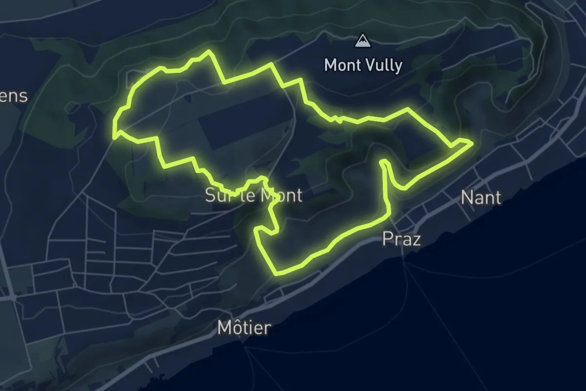
Medium · Trail
Sentier Historique du Vully
7.2 km · ↑ 290 m · 2 h 26 min · 13 km away
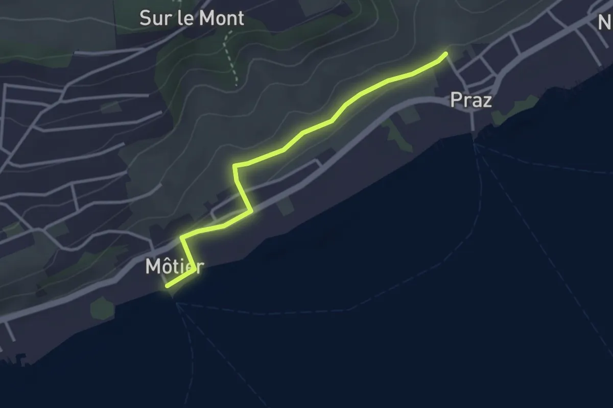
Easy · Trail
Praz – Môtier Port
2.9 km · ↑ 45 m · 47 min · 13 km away
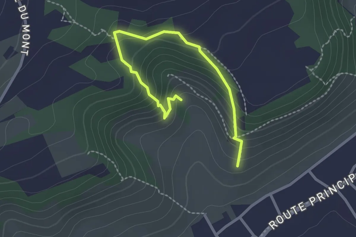
Easy · Trail
Sentier Botanique
2.5 km · ↑ 216 m · 1 h 3 min · 13 km away
Easy · Trail
Métairie d'Aarberg – Métairie de l'Ile
2.8 km · ↑ 73 m · 49 min · 13 km away
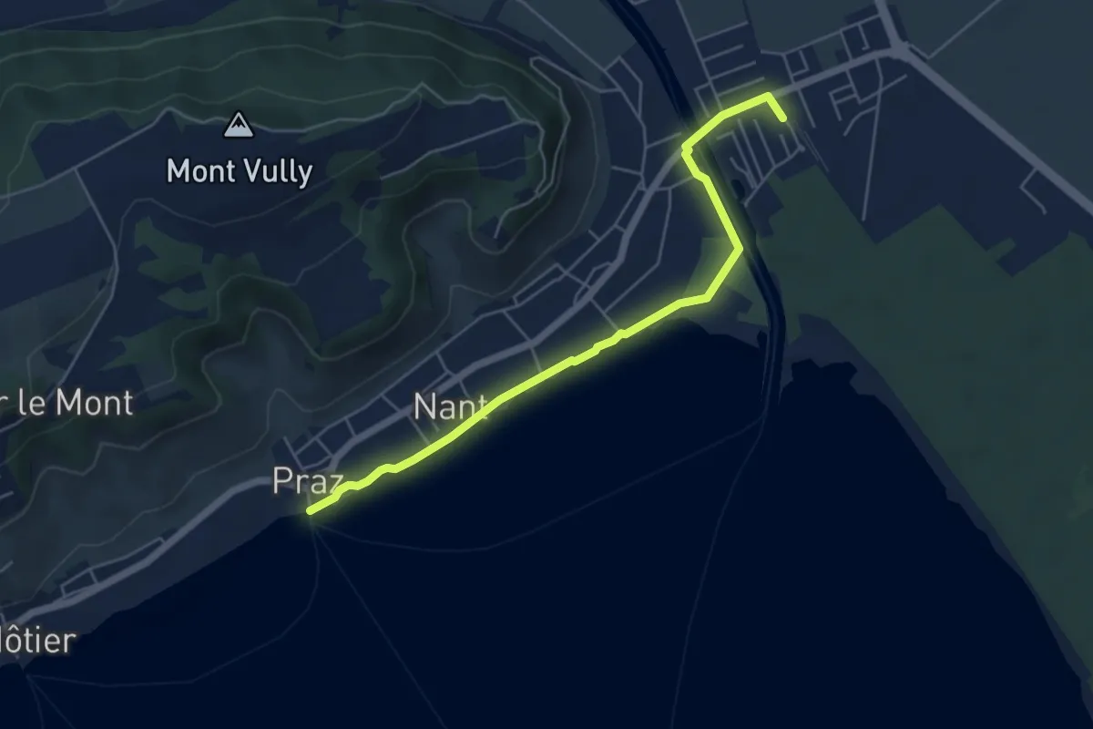
Easy · Trail
Sugiez gare – Praz Port
5.3 km · ↑ 0 m · 1 h 16 min · 13 km away
Easy · Trail
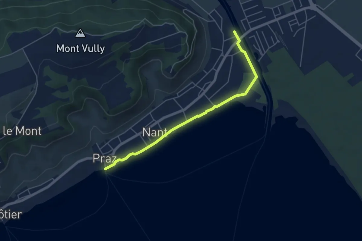
Sentier des Rives
4.7 km · ↑ 0 m · 1 h 6 min · 13 km away
Easy · Trail
Erlachbänkli – Tschugg
4.7 km · ↑ 82 m · 1 h 17 min · 14 km away
Demanding · Trail
Seeland-Solothurn-Weg
20.7 km · ↑ 276 m · 5 h 46 min · 14 km away
Easy · Summit
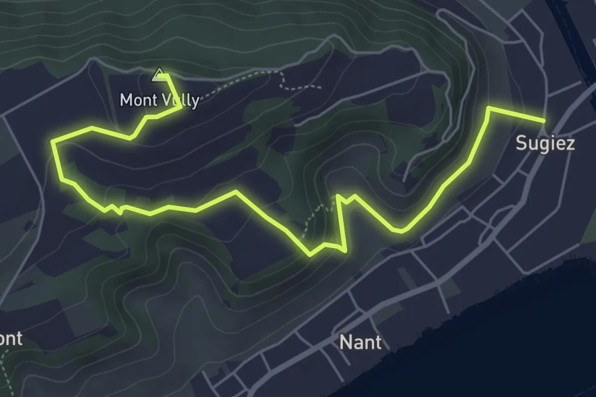
Sentier historique du Vully
6.7 km · ↑ 286 m · 2 h 12 min · 14 km away
Easy · Summit
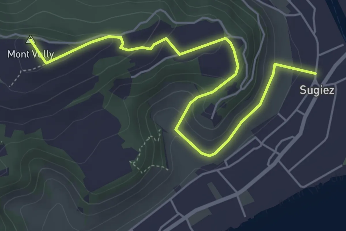
Sugiez – Mont Vully
5.6 km · ↑ 247 m · 1 h 51 min · 14 km away
Medium · Trail
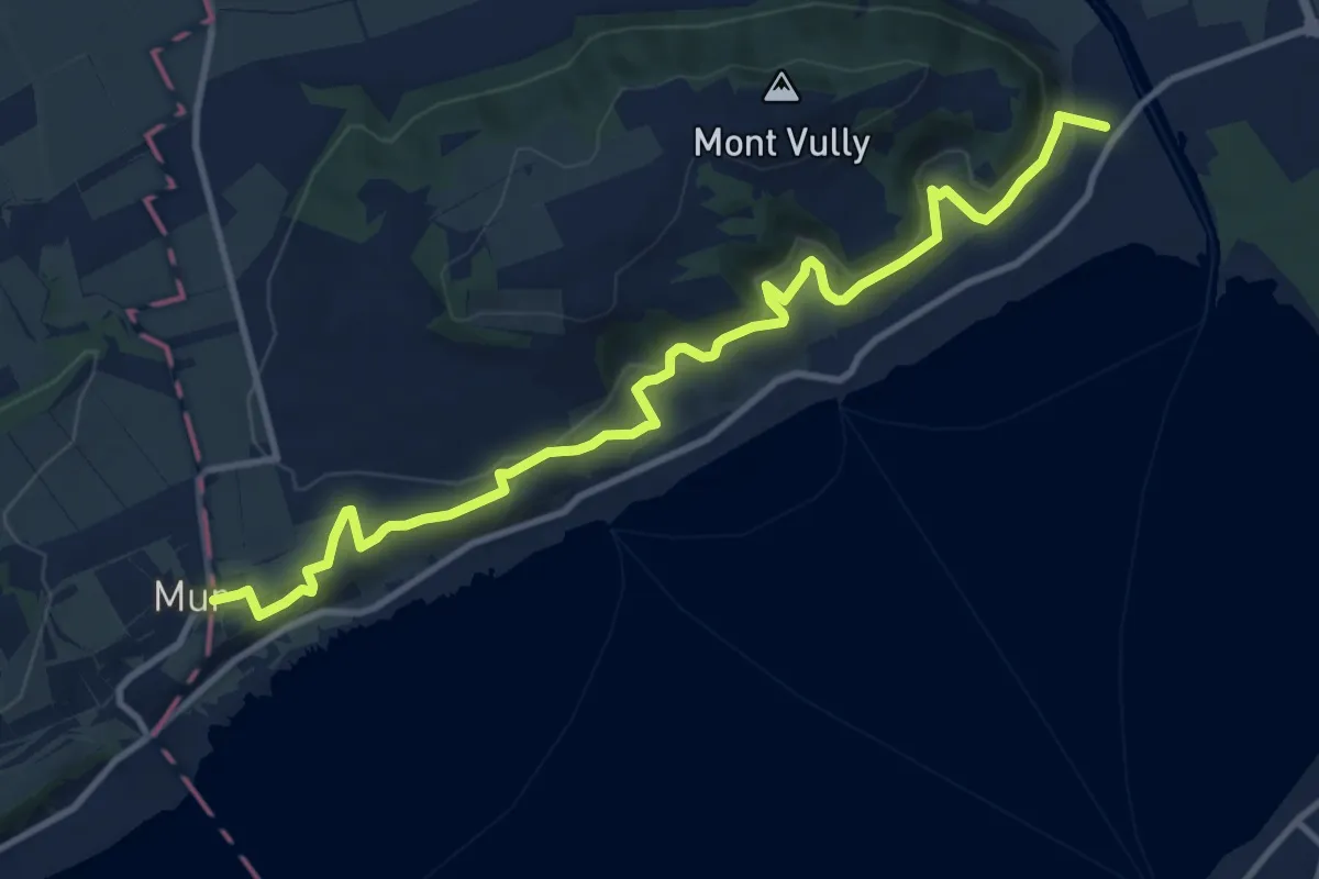
Sentier Viticole
12.3 km · ↑ 414 m · 3 h 49 min · 14 km away
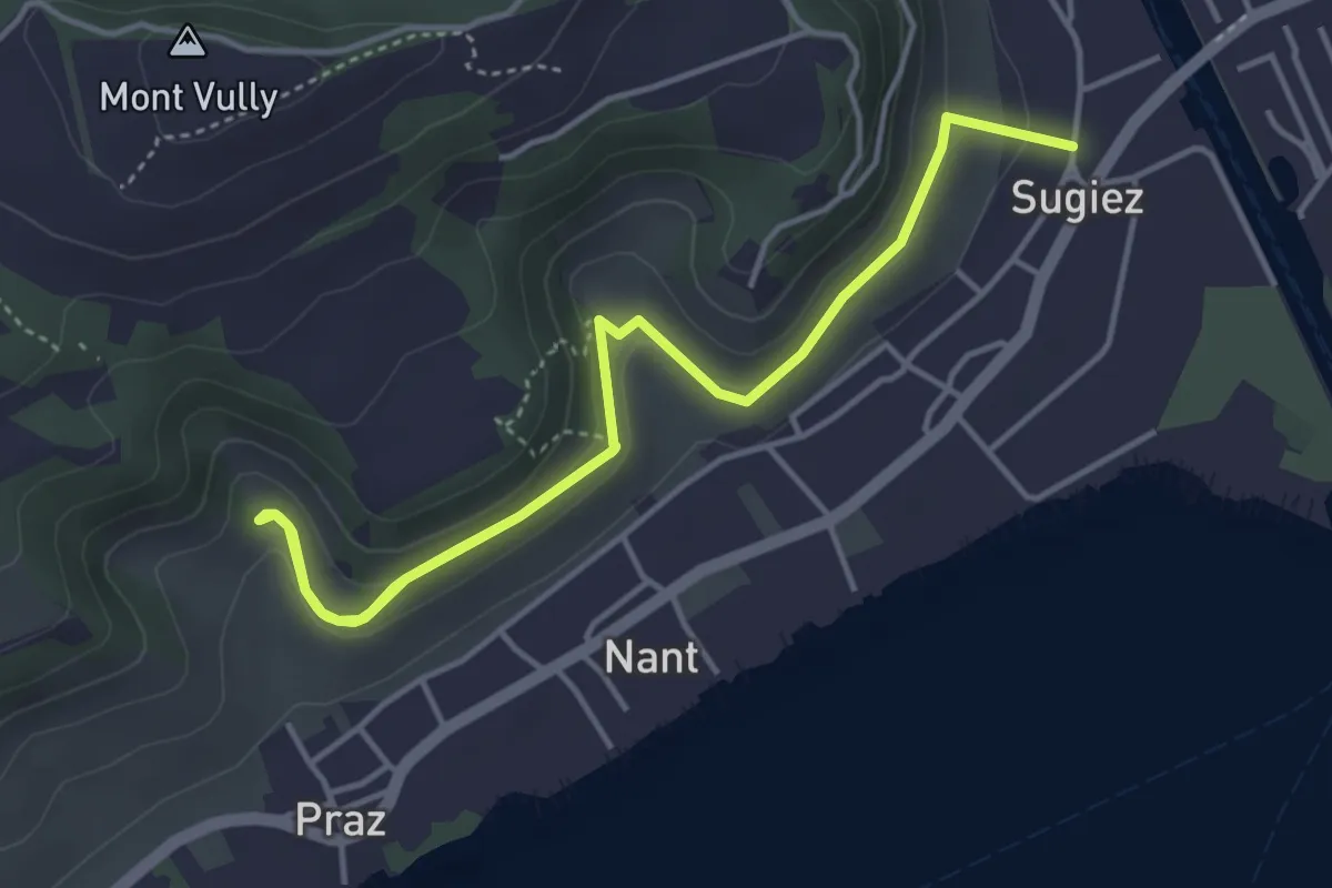
Easy · Trail
Sugiez – Creux-de-Praz
5.6 km · ↑ 265 m · 1 h 54 min · 14 km away
Easy · Summit
Chüngeliinsel – Erlach
6.5 km · ↑ 15 m · 1 h 34 min · 14 km away
Easy · Trail
Erlach – Erlachbänkli
2.1 km · ↑ 114 m · 45 min · 14 km away
Medium · Trail
Chemin de l'abeille rouge
14.7 km · ↑ 246 m · 4 h · 14 km away
Medium · Trail
Chemin de l'abeille marron
12.5 km · ↑ 347 m · 3 h 42 min · 14 km away
Easy · Trail
Balade de la Sorcière
4.6 km · ↑ 234 m · 1 h 39 min · 14 km away
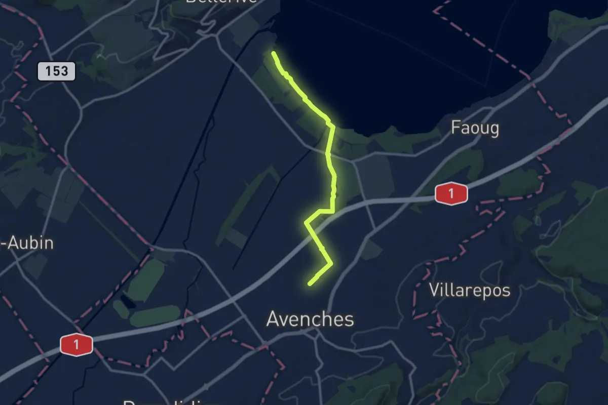
Medium · Trail
Avenches - fixme
9.1 km · ↑ 17 m · 2 h 11 min · 14 km away
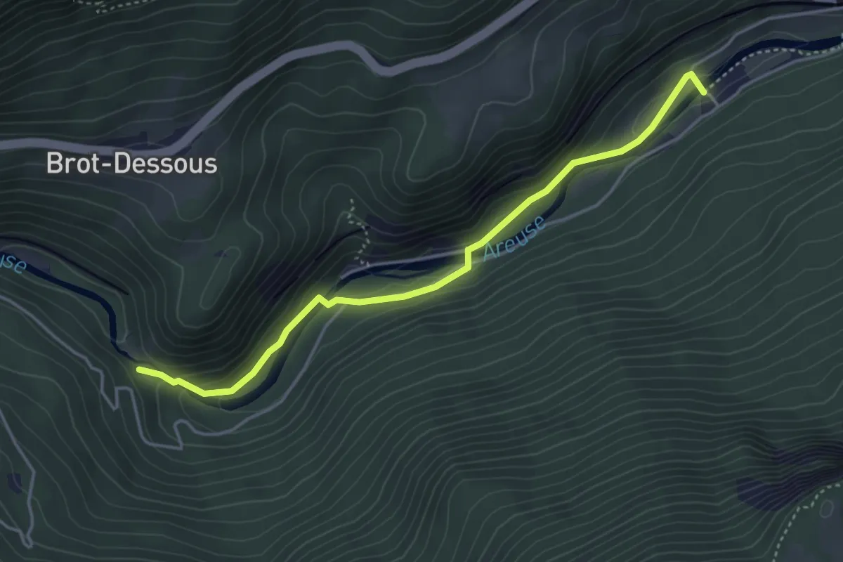
Easy · Trail
Saut de Brot – Champ du Moulin
4.2 km · ↑ 150 m · 1 h 20 min · 14 km away
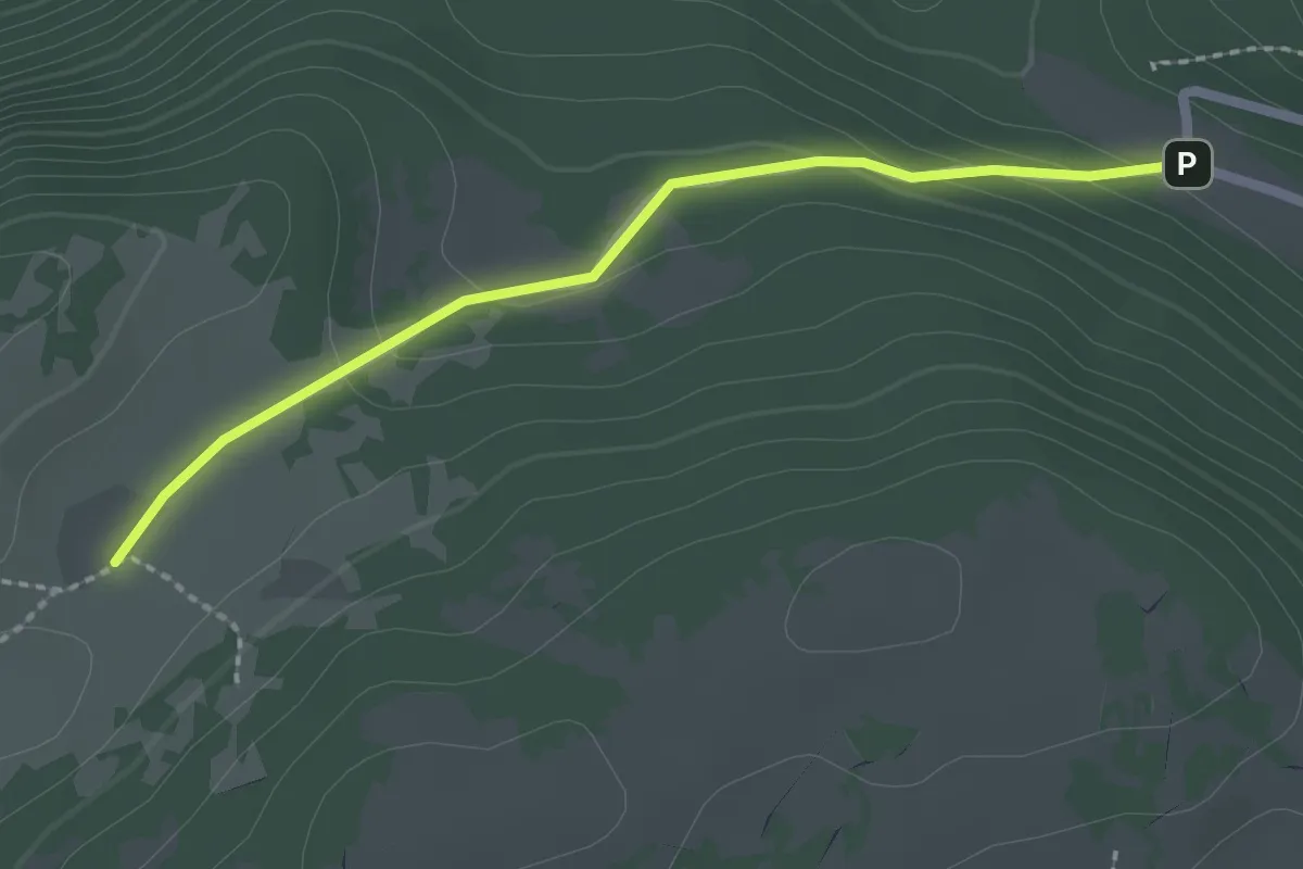
Easy · Cabin
La Grand Vy-Pré au Favre
2.2 km · ↑ 78 m · 41 min · 14 km away
Easy · Trail
Ins Dorf – Zwejen
5.7 km · ↑ 82 m · 1 h 31 min · 15 km away
Easy · Trail
Gurzelen – Zweje
6.8 km · ↑ 162 m · 1 h 57 min · 15 km away
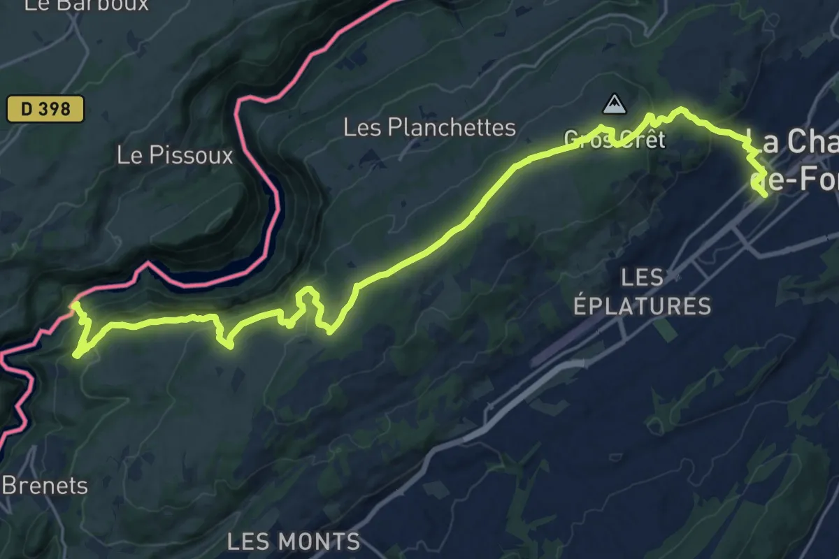
Medium · Trail
La Chaux-de-Fonds – Saut du Doubs
13.3 km · ↑ 405 m · 4 h 19 min · 15 km away
Easy · Trail
Combe du Pilouvi – Lignières
4.0 km · ↑ 104 m · 1 h 11 min · 15 km away
Medium · Trail
Lignières – Chasseral Hôtel
11.9 km · ↑ 679 m · 4 h 17 min · 15 km away
Medium · Trail
Lignières – Le Landeron
7.0 km · ↑ 375 m · 2 h 28 min · 15 km away
Medium · Trail
Chemin de l'abeille rose
9.9 km · ↑ 215 m · 2 h 49 min · 15 km away
Easy · Trail
Combe du Pilouvi – La Paye
4.0 km · ↑ 219 m · 1 h 25 min · 15 km away
Easy · Trail
La Neuveville – Combe du Pilouvi
5.1 km · ↑ 307 m · 1 h 52 min · 15 km away
Easy · Trail
Combe du Pilouvi – Pavillon
2.4 km · ↑ 77 m · 44 min · 15 km away
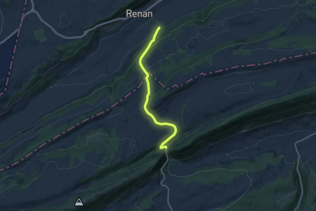
Medium · Trail
Renan Le Plan – Pertuis
8.3 km · ↑ 431 m · 2 h 54 min · 15 km away
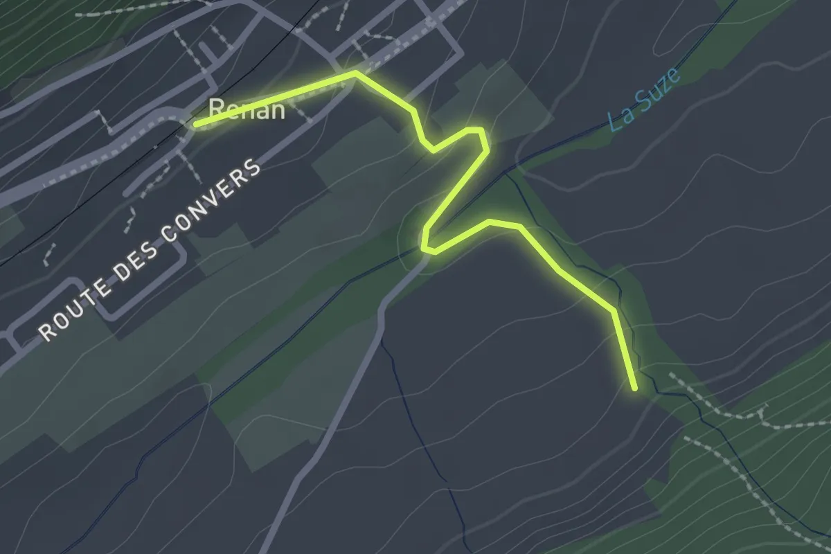
Easy · Trail
Renan Le Plan – Renan
2.1 km · ↑ 81 m · 40 min · 15 km away
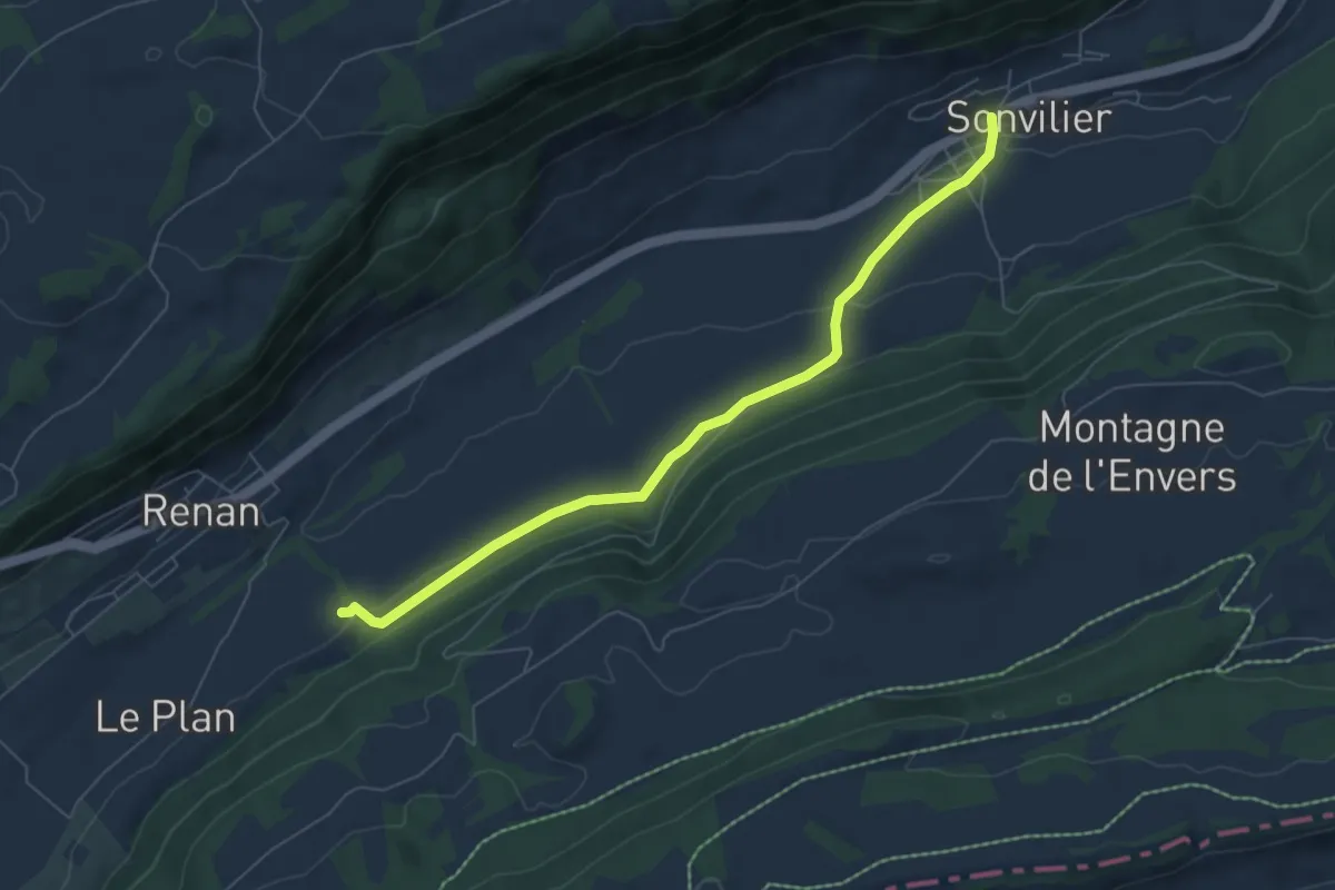
Easy · Trail
Sonvilier – Renan Le Plan
6.5 km · ↑ 147 m · 1 h 51 min · 15 km away
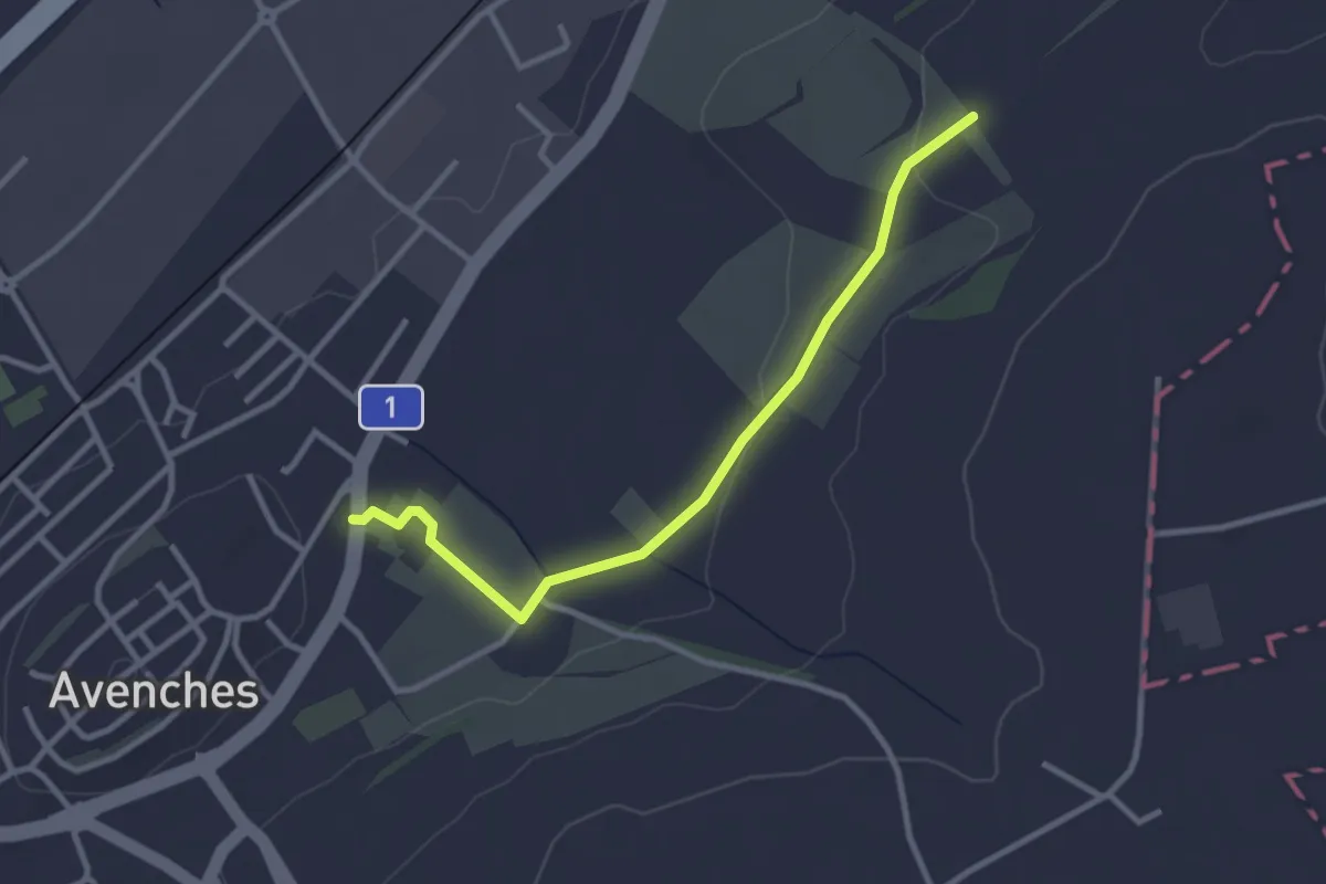
Easy · Trail
La Porte de l'Est - Le Cigognier
3.0 km · ↑ 37 m · 47 min · 15 km away
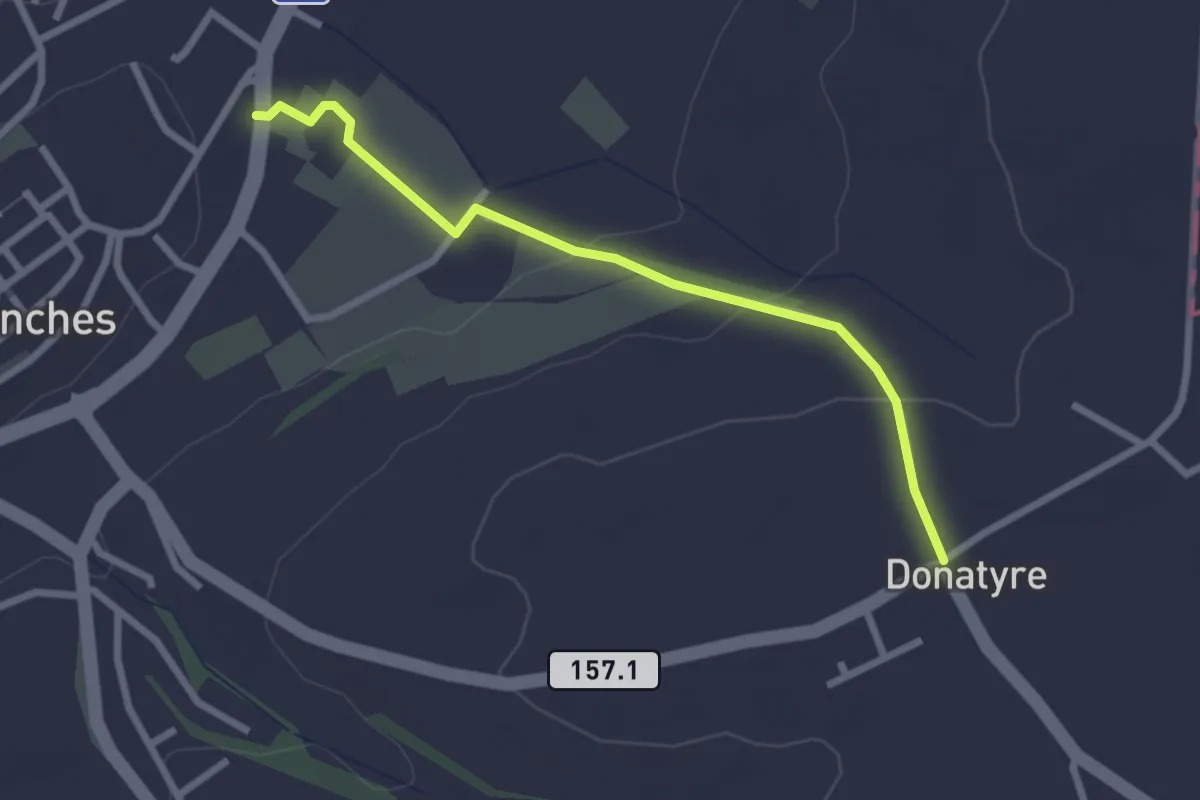
Easy · Trail
Avenches - Donatyre
2.6 km · ↑ 58 m · 44 min · 15 km away
Easy · Trail
Pavillon – Faubourg
2.7 km · ↑ 201 m · 1 h 4 min · 15 km away
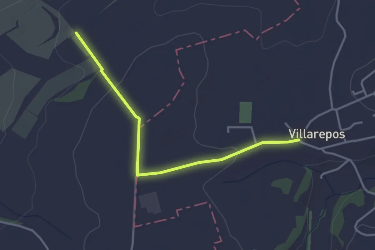
Easy · Trail
Villarepos - La Porte de l'Est
3.1 km · ↑ 54 m · 51 min · 15 km away