Trails near Opfikon
588 hikes starting within 15 km, nearest first.
Nearest first, page 11 of 13
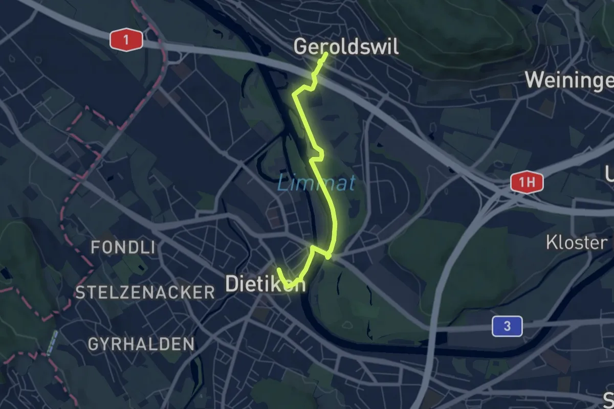
Easy · Trail
Dietikon - Geroldswil
5.5 km · ↑ 29 m · 1 h 22 min · 13 km away
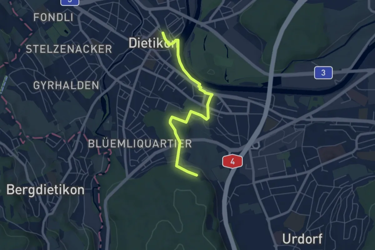
Easy · Trail
Dietikon - Lindenbüel
5.6 km · ↑ 84 m · 1 h 30 min · 13 km away
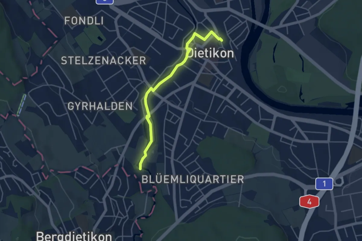
Easy · Trail
Dietikon - Basi
3.8 km · ↑ 22 m · 57 min · 13 km away
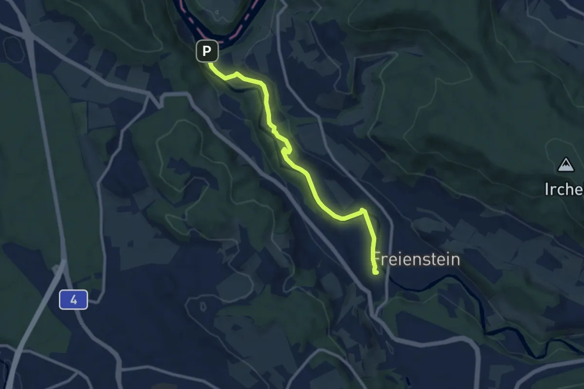
Easy · Trail
Rorbas – Tössegg Schiffsteg
7.6 km · ↑ 95 m · 2 h · 13 km away
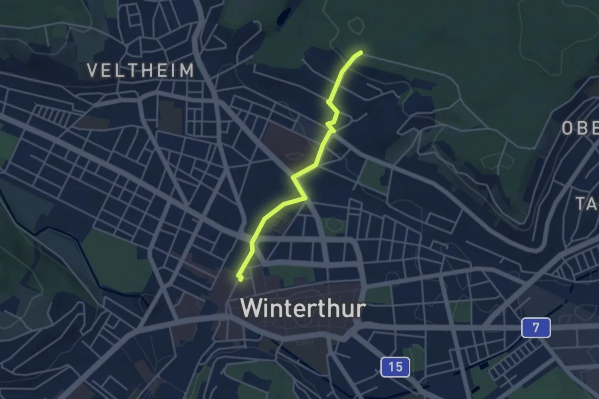
Easy · Trail
Winterthur – Römerholz
3.3 km · ↑ 72 m · 56 min · 13 km away
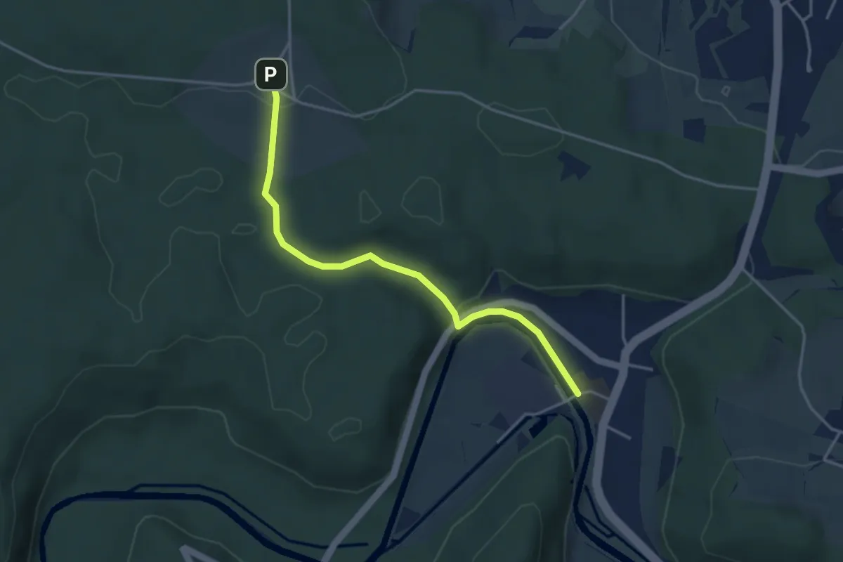
Easy · Trail
Eschenberg Sternwarte - Sennhof
3.7 km · ↑ 95 m · 1 h 4 min · 13 km away
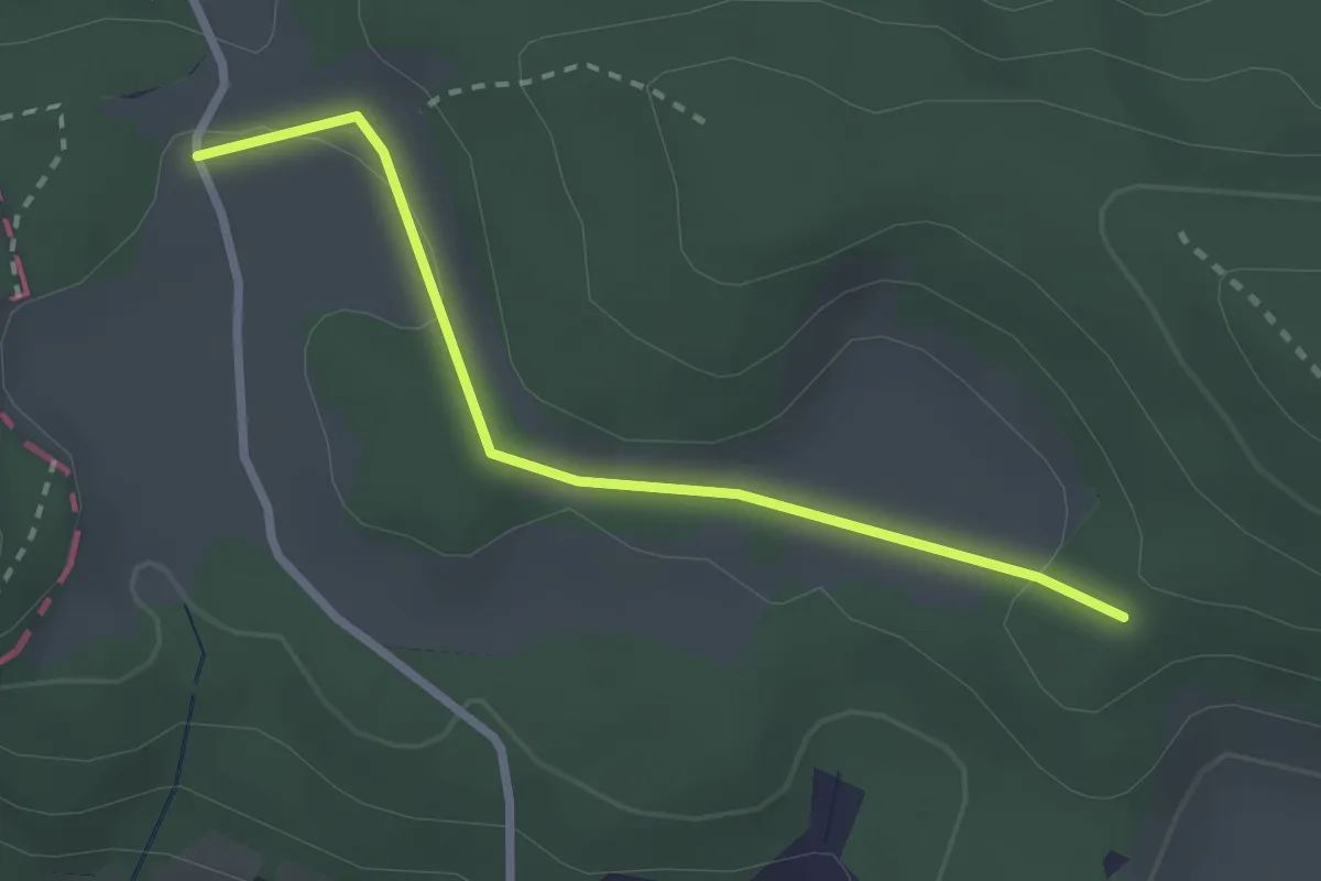
Easy · Trail
Vorderhüttikerberg – Rotris
2.4 km · ↑ 48 m · 41 min · 13 km away
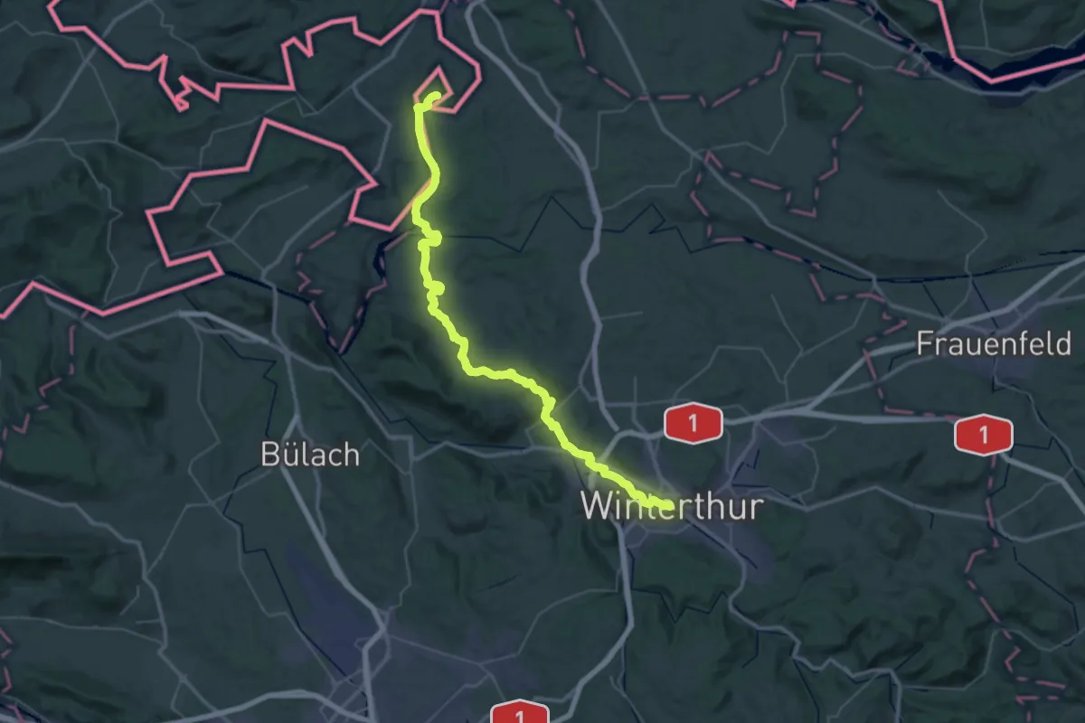
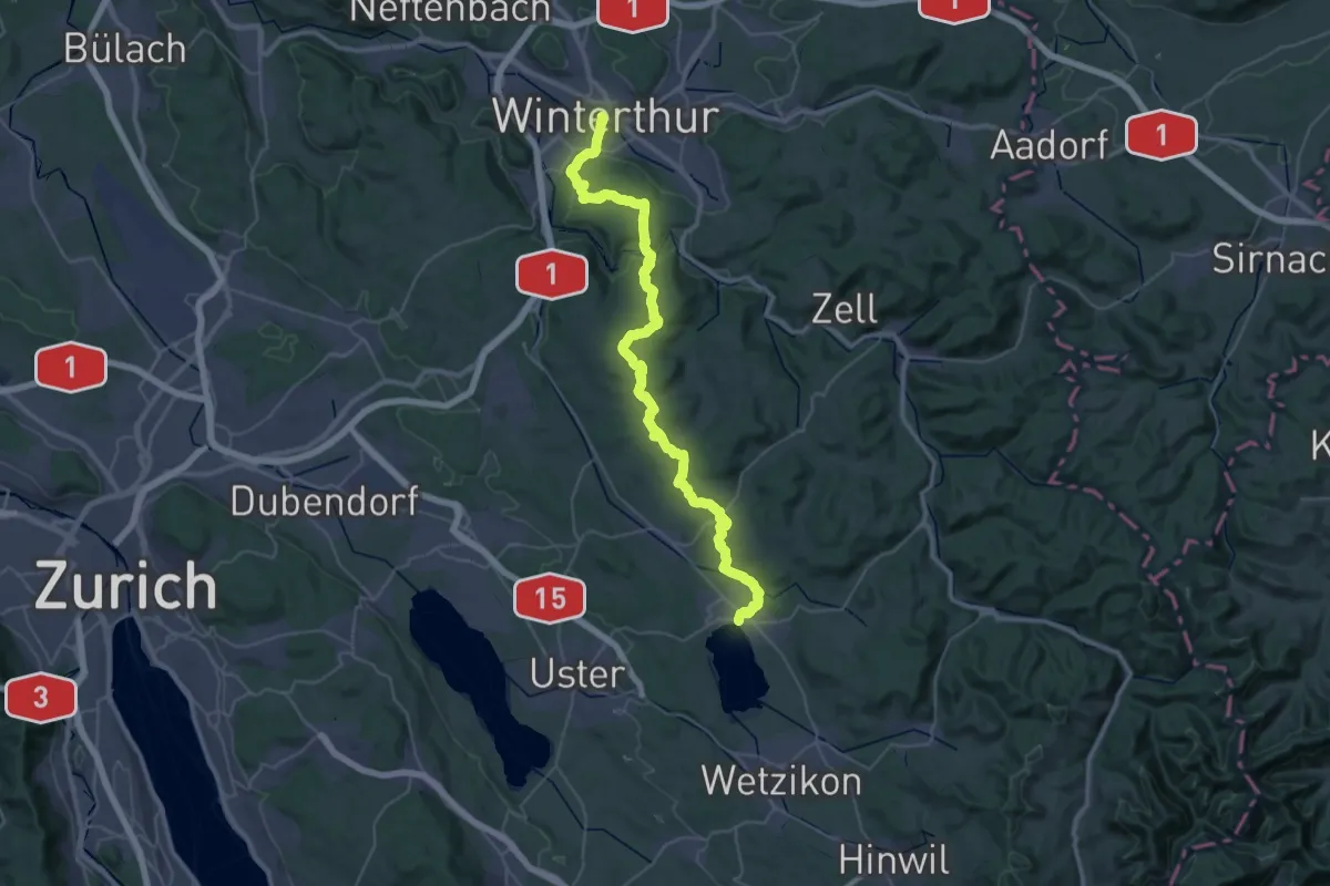
Demanding · Pilgrim path
Schaffhauser-Zürcher-Weg
27.4 km · ↑ 376 m · 7 h 43 min · 13 km away
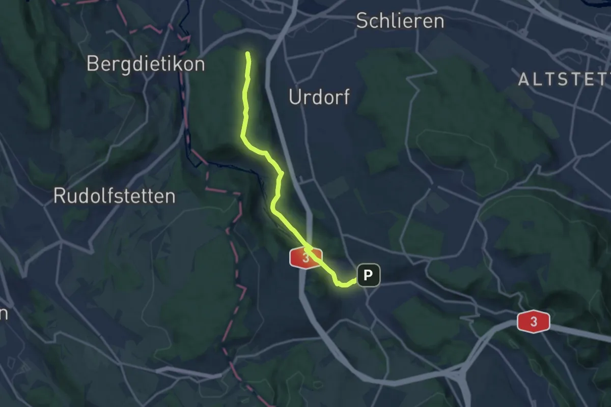
Demanding · Pilgrim path
Schaffhauser-Zürcher-Weg
23.1 km · ↑ 550 m · 6 h 55 min · 13 km away
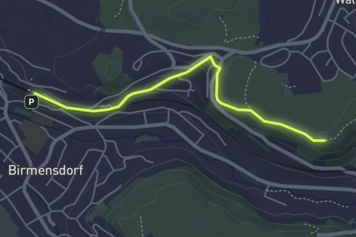
Medium · Trail
Birmensdorf - Lindenbüel
11.1 km · ↑ 299 m · 3 h 16 min · 13 km away
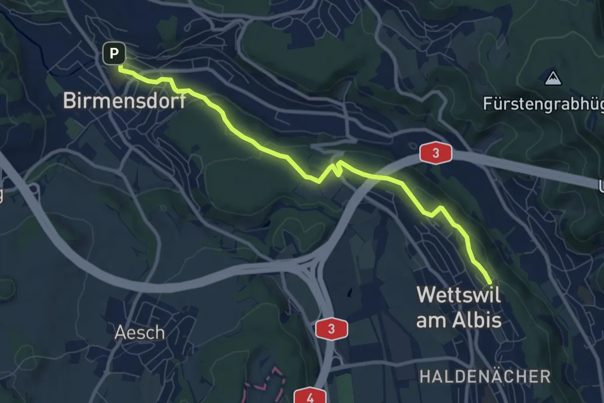
Easy · Trail
Birmensdorf – Maas
4.0 km · ↑ 99 m · 1 h 10 min · 13 km away
Medium · Trail
Birmensdorf – Näfenhügel
8.4 km · ↑ 162 m · 2 h 20 min · 13 km away
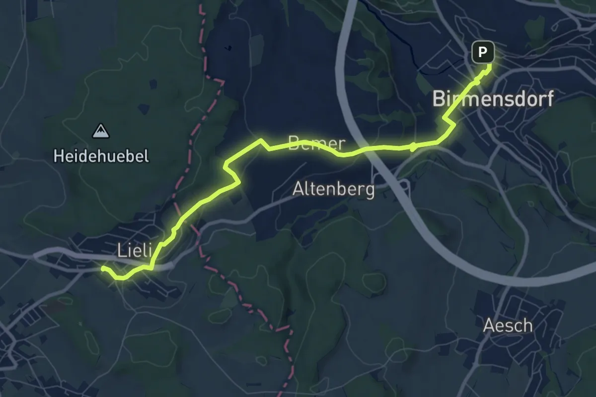
Medium · Trail
Birmensdorf - Lieli
9.4 km · ↑ 238 m · 2 h 44 min · 13 km away
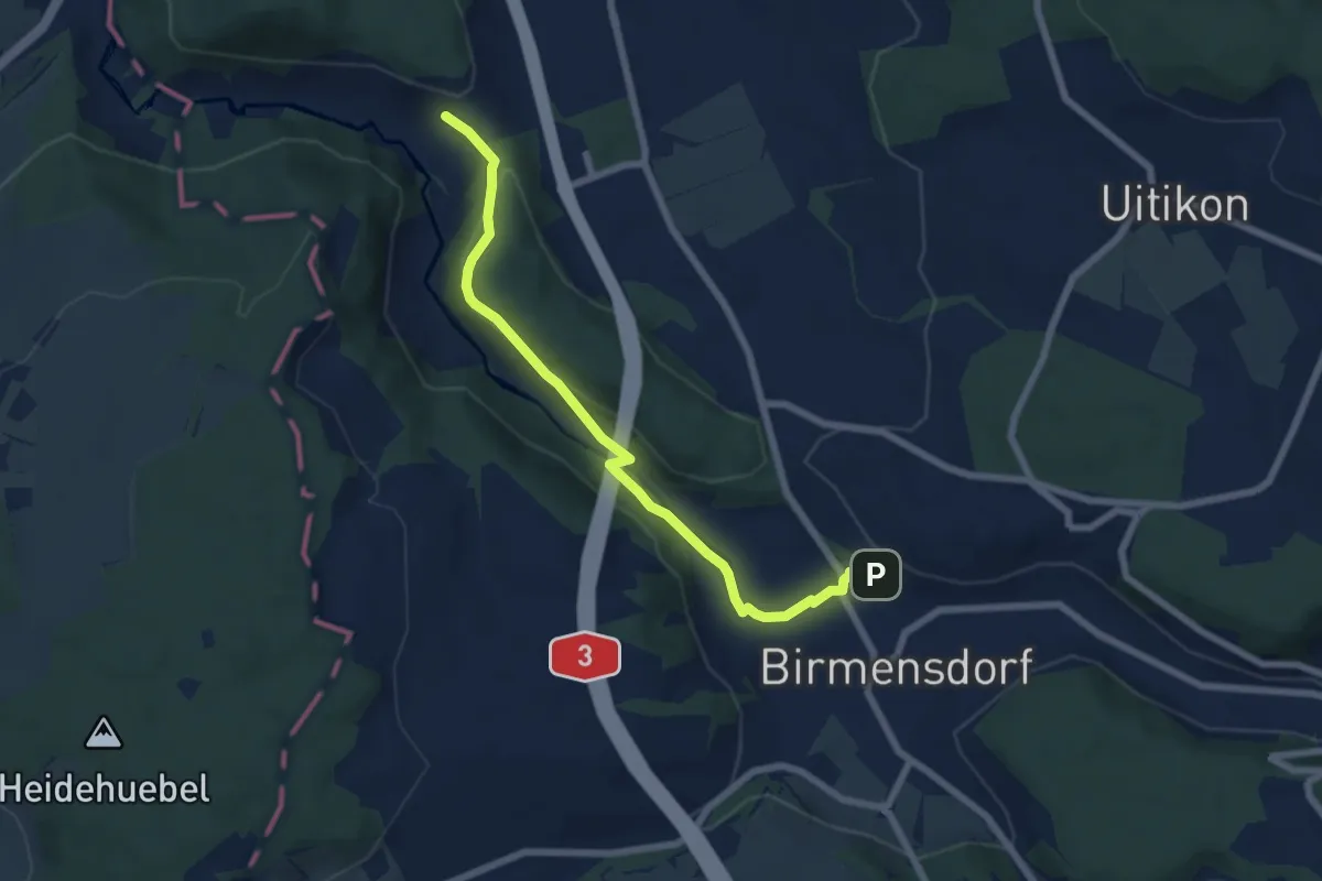
Easy · Trail
Birmensdorf - Unter Reppischtal
6.6 km · ↑ 166 m · 1 h 55 min · 13 km away
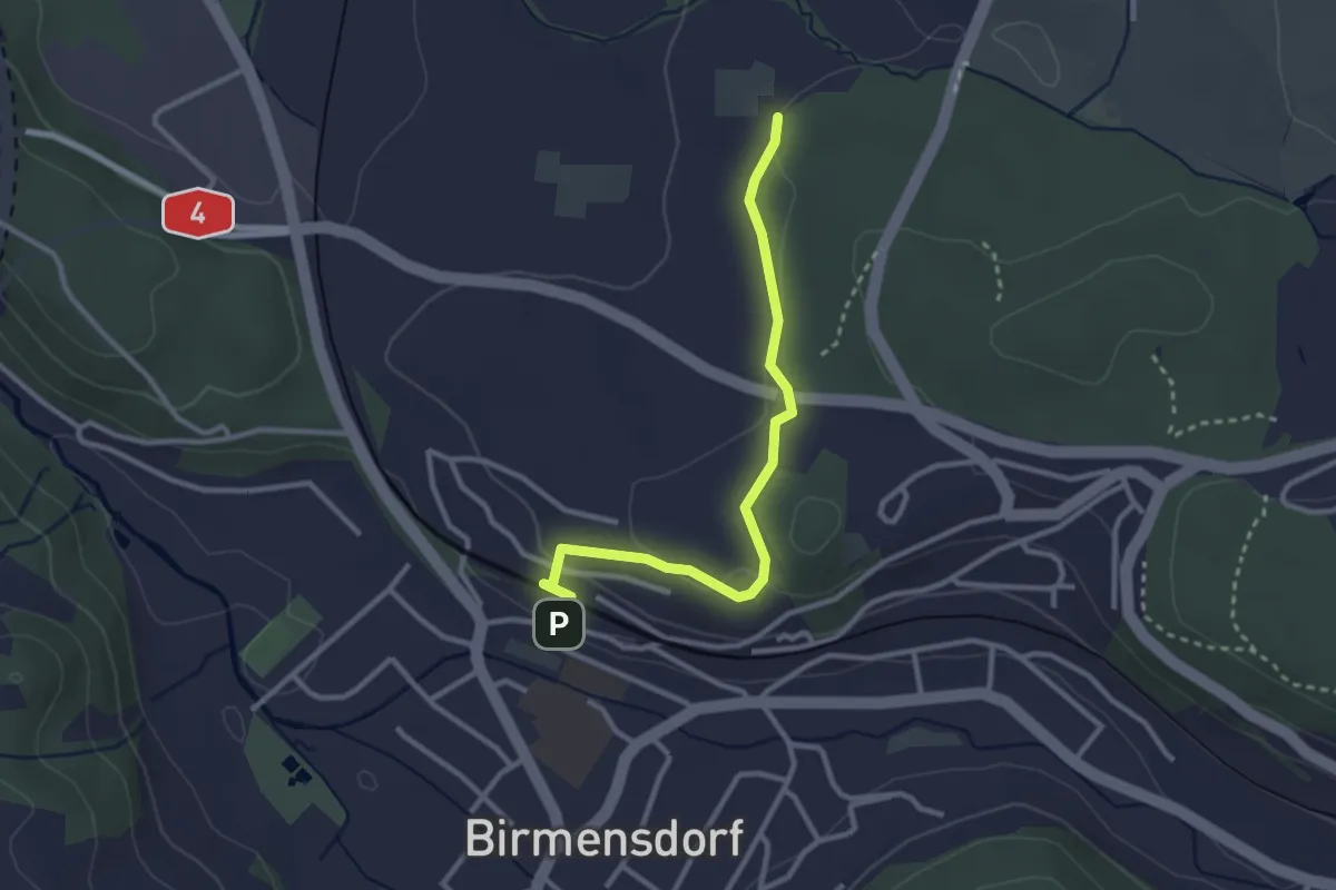
Easy · Trail
Birmensdorf - Leerbreiti
2.9 km · ↑ 92 m · 53 min · 13 km away
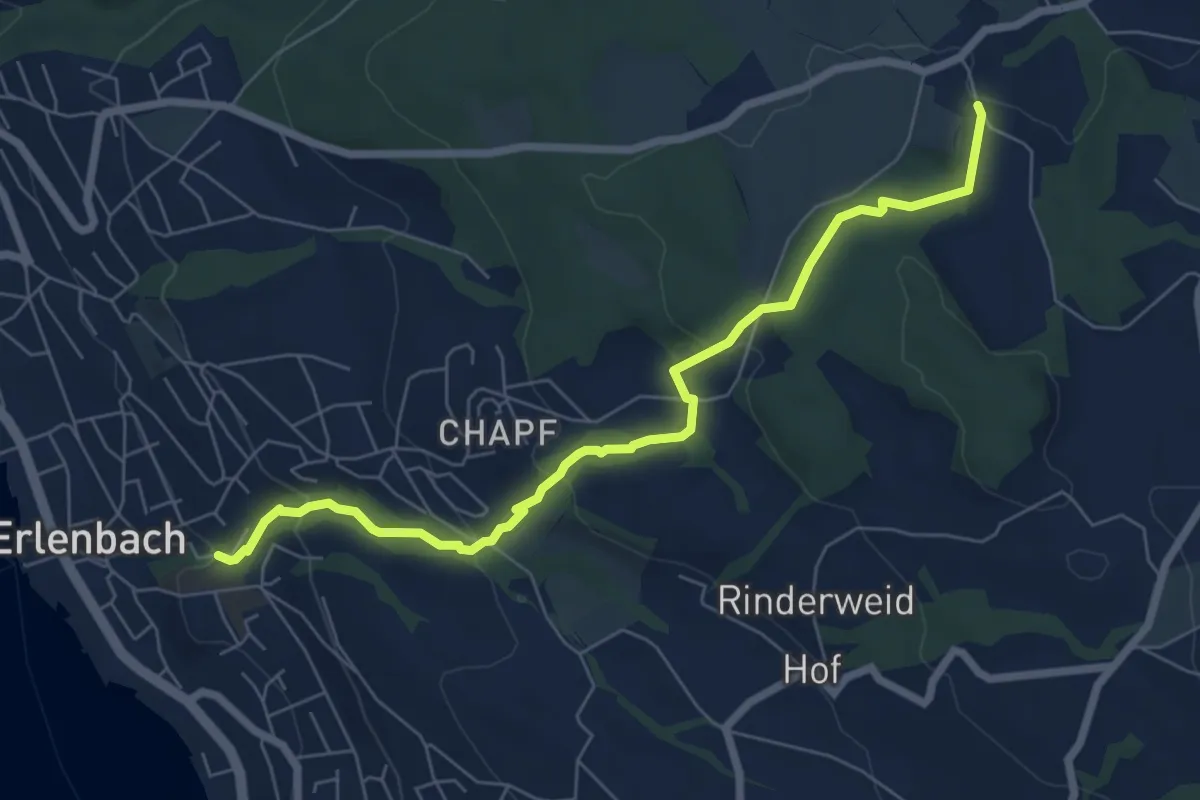
Easy · Trail
Limberg - Erlenbach Dorfbach
7.0 km · ↑ 273 m · 2 h 15 min · 13 km away
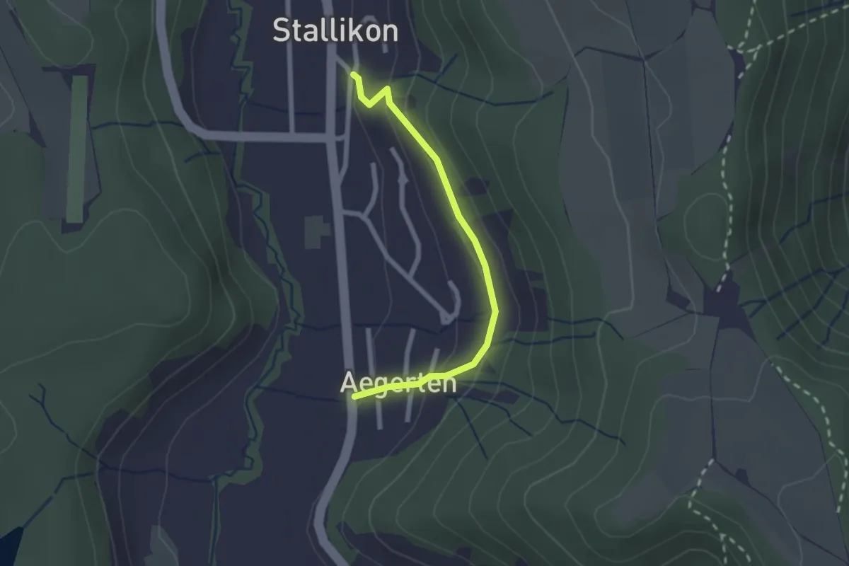
Easy · Trail
Stallikon – Ägerten
2.0 km · ↑ 88 m · 40 min · 14 km away
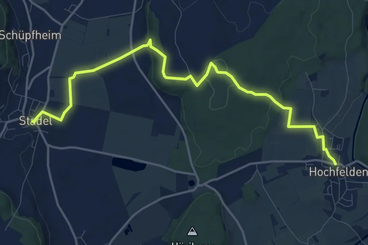
Medium · Trail
Hochfelden – Stadel
11.4 km · ↑ 236 m · 3 h 13 min · 14 km away
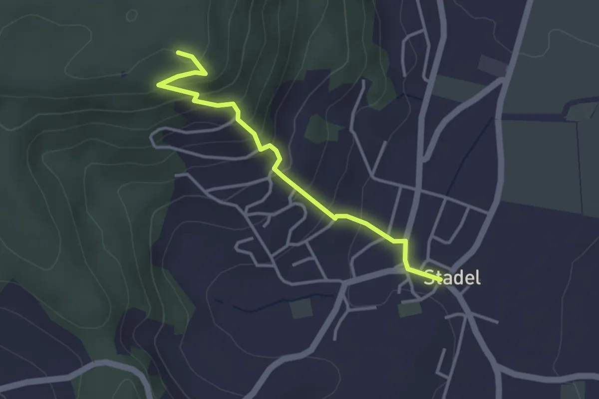
Easy · Trail
Stadel – Stadlerberg
3.2 km · ↑ 198 m · 1 h 11 min · 14 km away
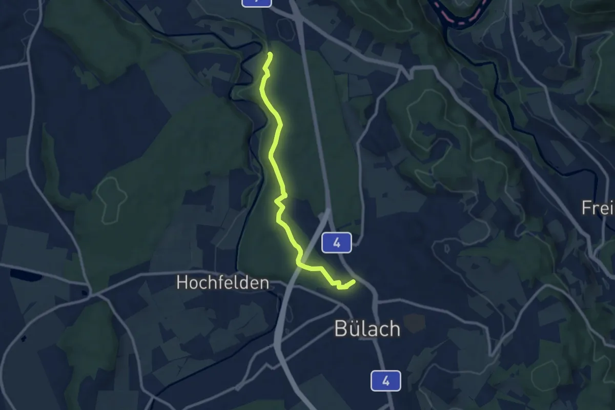
Easy · Trail
Bülach – Station Glattfelden
8.0 km · ↑ 158 m · 2 h 14 min · 14 km away
Easy · Trail
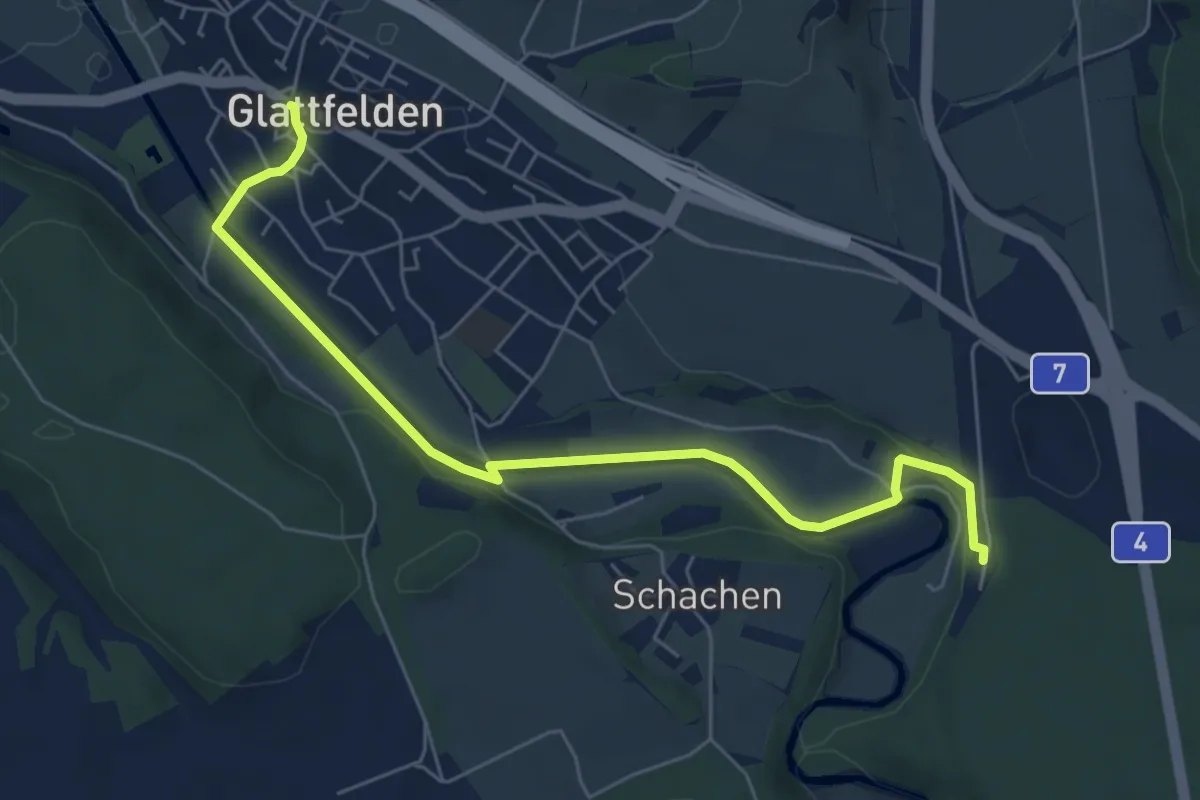
Glattfelden – Station Glattfelden
6.5 km · ↑ 126 m · 1 h 49 min · 14 km away
Medium · Trail
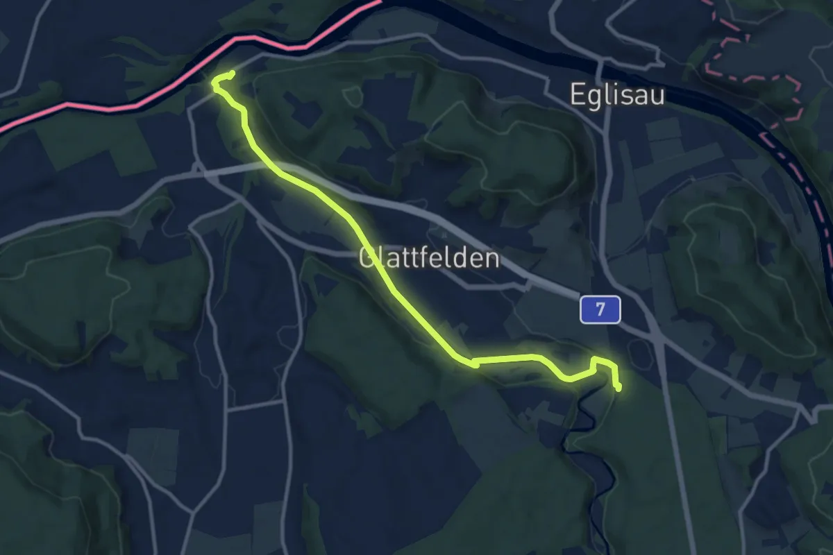
Rheinsfelden – Station Glattfelden
11.3 km · ↑ 147 m · 3 h · 14 km away
Medium · Trail
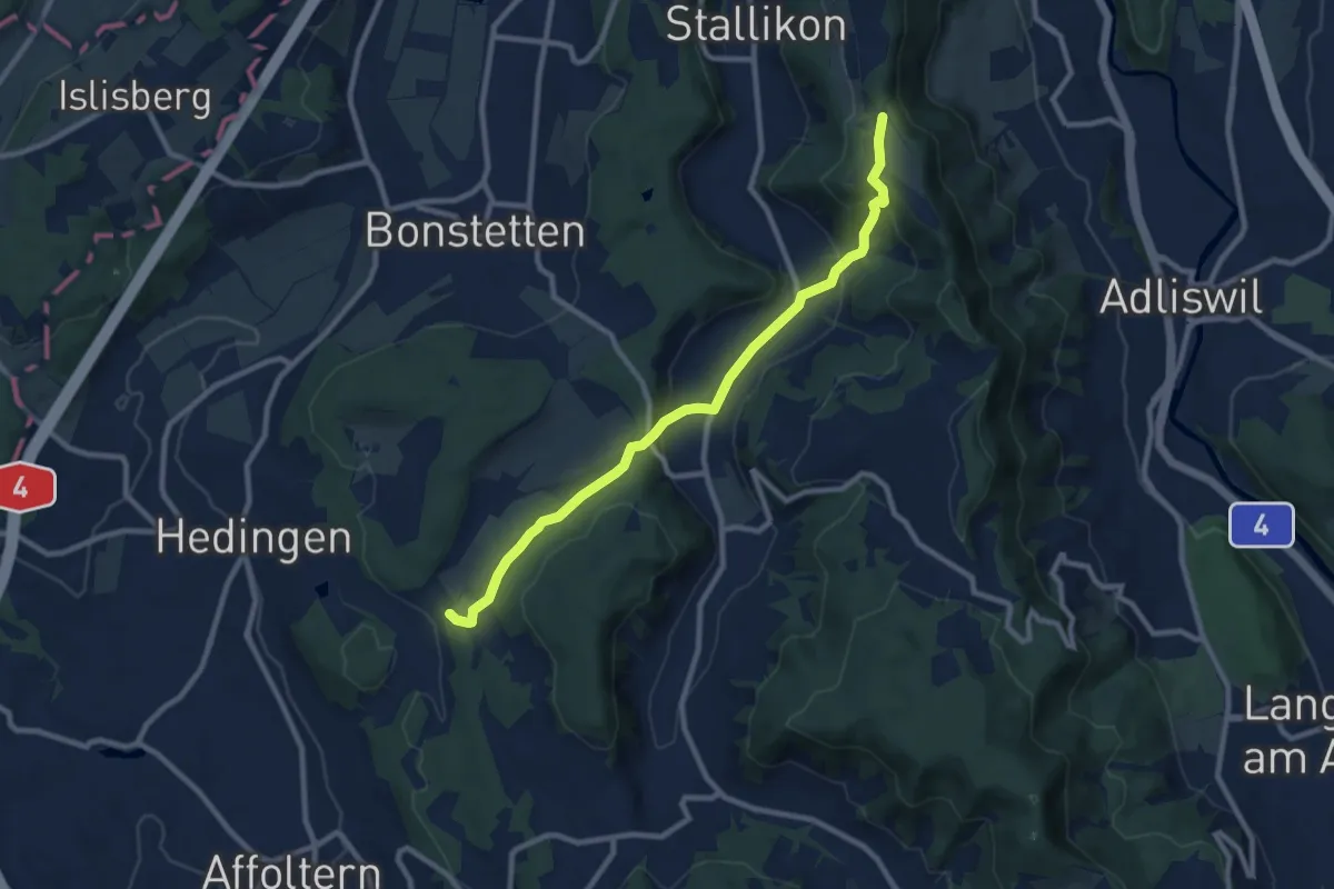
Hirslen – Balderen
9.2 km · ↑ 346 m · 2 h 56 min · 14 km away
Easy · Trail
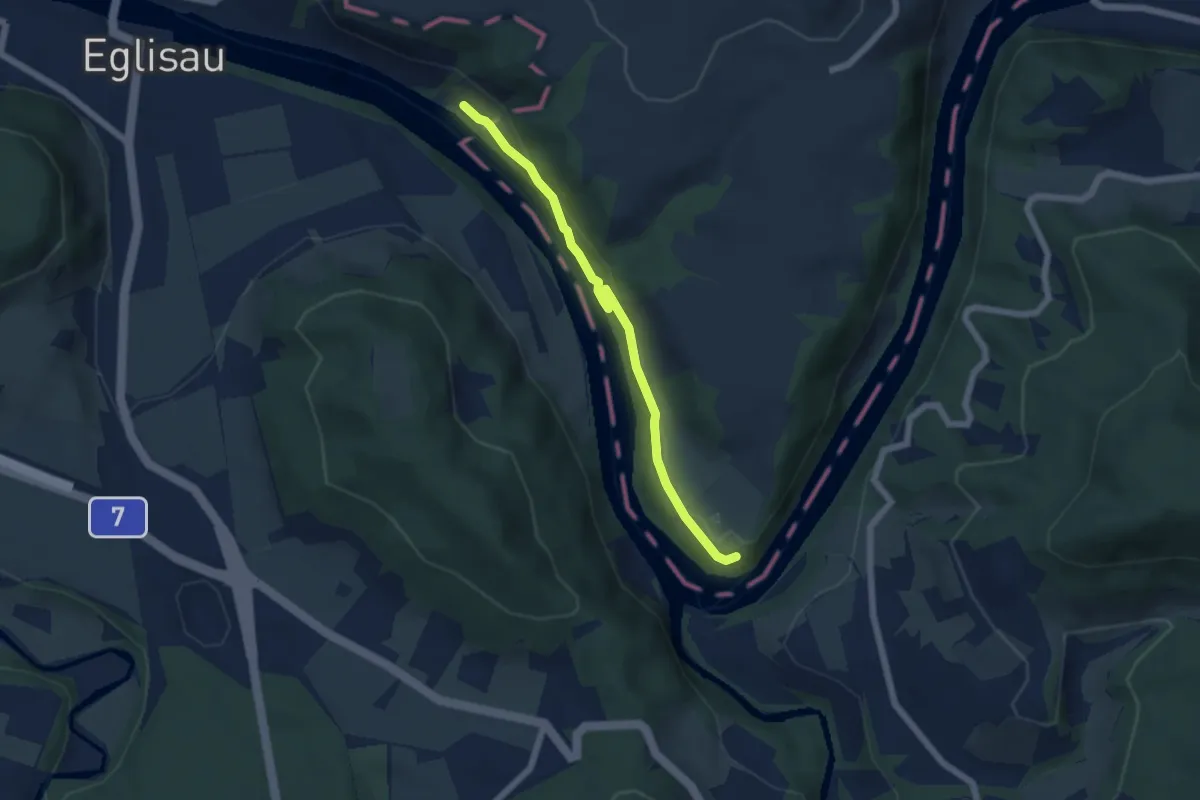
Murkathof - Oberriet
5.1 km · ↑ 131 m · 1 h 30 min · 14 km away
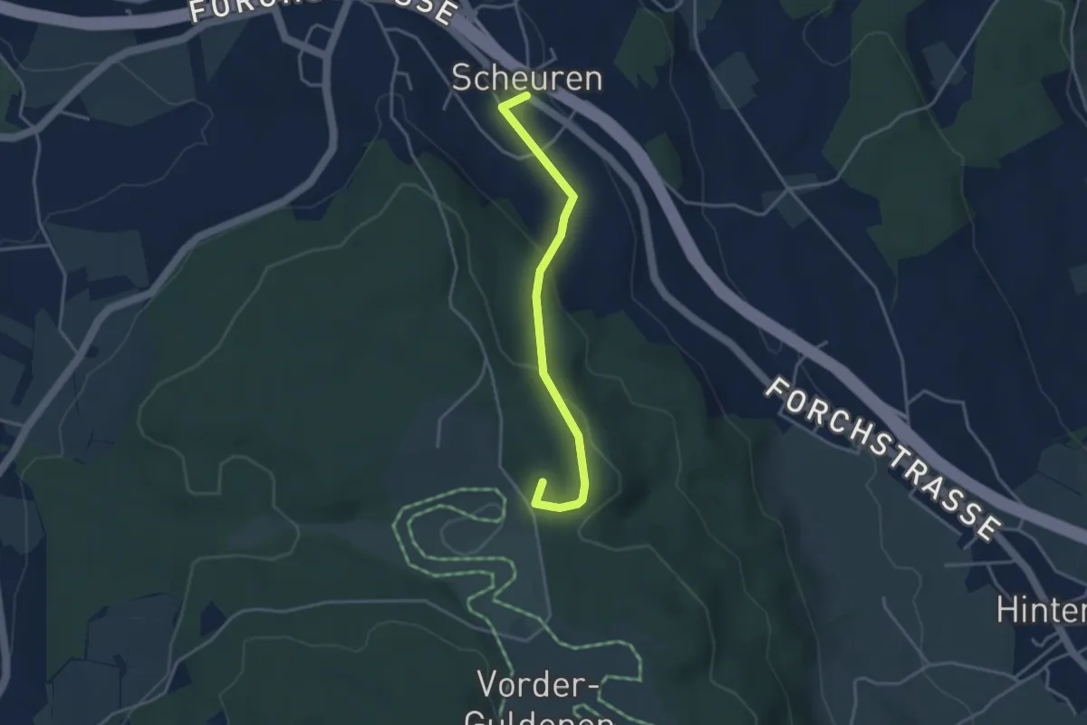
Easy · Summit
Scheuren – Gerstenchrütz
3.4 km · ↑ 116 m · 1 h 3 min · 14 km away
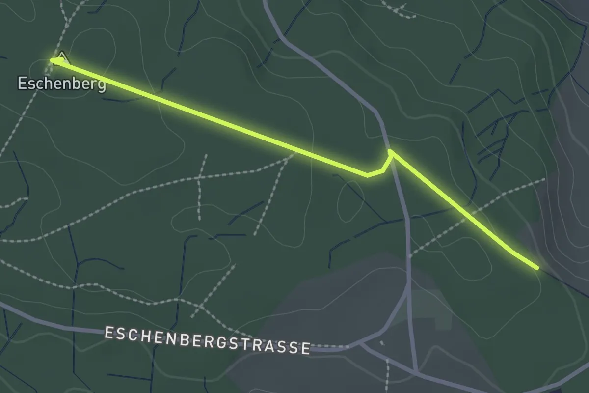
Easy · Summit
Eschenberg Aussichtsturm – Seen
2.5 km · ↑ 51 m · 41 min · 14 km away
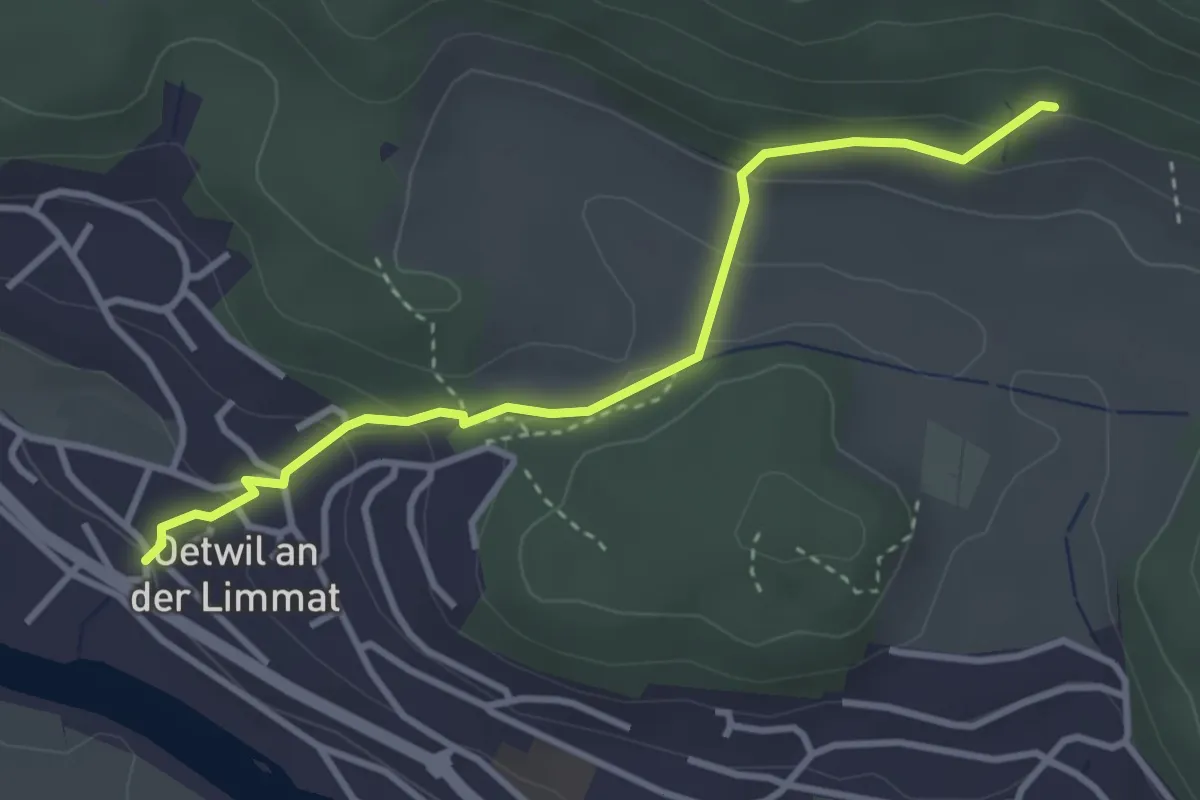
Easy · Trail
Wiesentäli – Oetwil a. d. L.
3.3 km · ↑ 140 m · 1 h 5 min · 14 km away
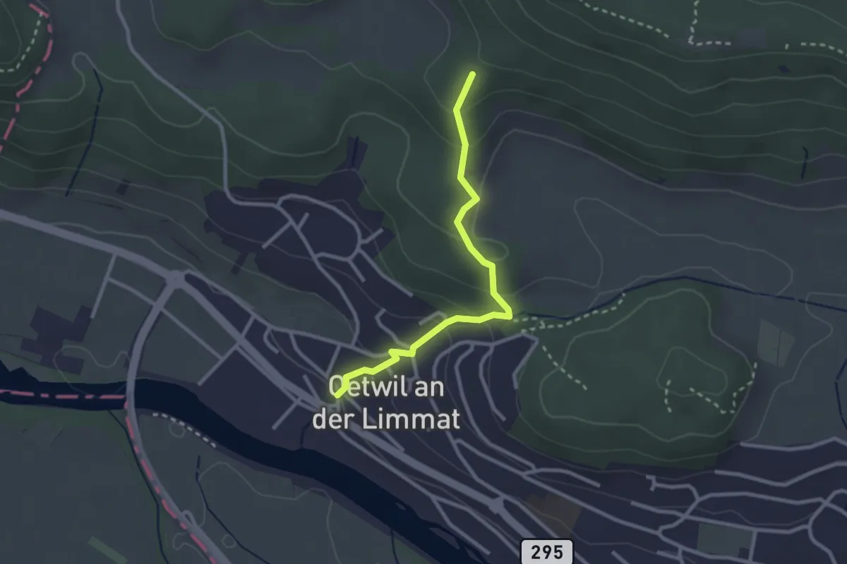
Easy · Trail
Oetwil a. d. L. – Rotris
2.6 km · ↑ 148 m · 55 min · 14 km away
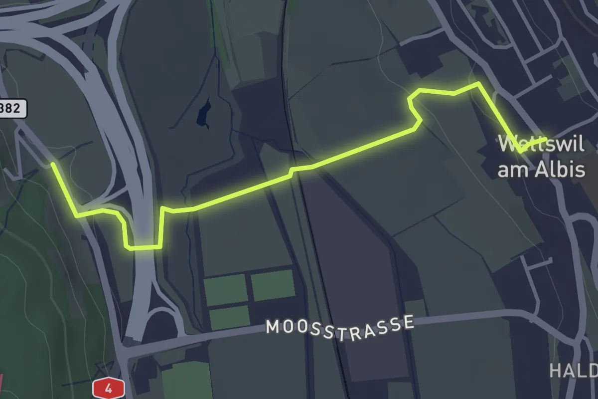
Easy · Trail
Filderen – Wettswil
3.6 km · ↑ 59 m · 58 min · 14 km away
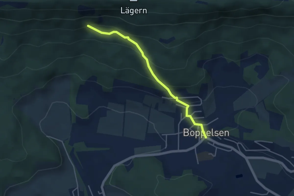
Easy · Trail
Boppelsen - Eggetsacher
3.3 km · ↑ 202 m · 1 h 13 min · 14 km away
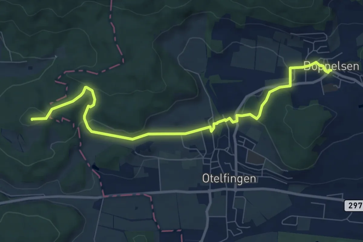
Medium · Summit
Boppelsen - Greppe
8.5 km · ↑ 202 m · 2 h 27 min · 14 km away
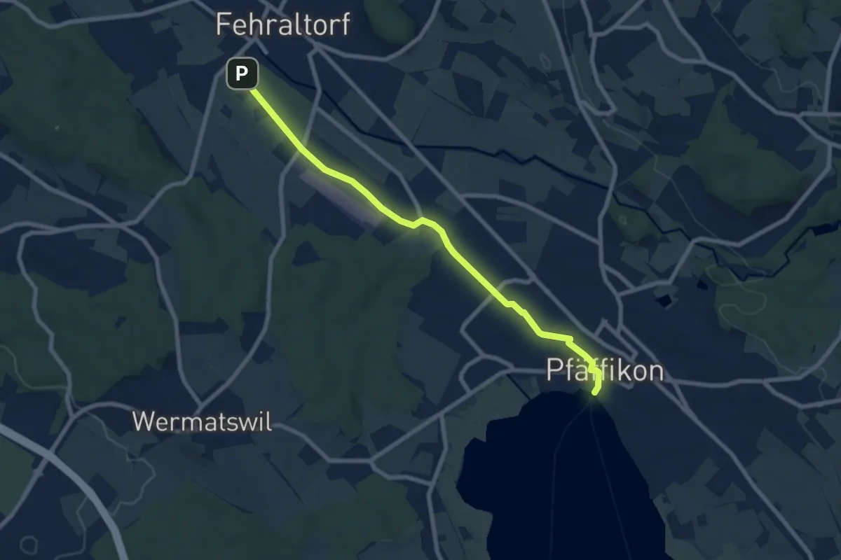
Easy · Pilgrim path
Fryheitsweg
3.6 km · ↑ 17 m · 56 min · 14 km away
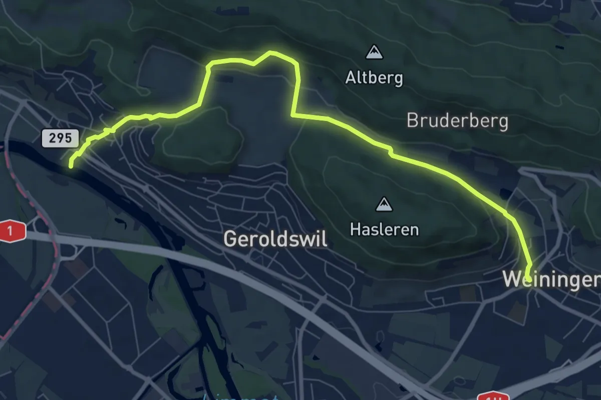
Easy · Pilgrim path
Hugenotten- und Waldenserweg
4.5 km · ↑ 197 m · 1 h 32 min · 14 km away
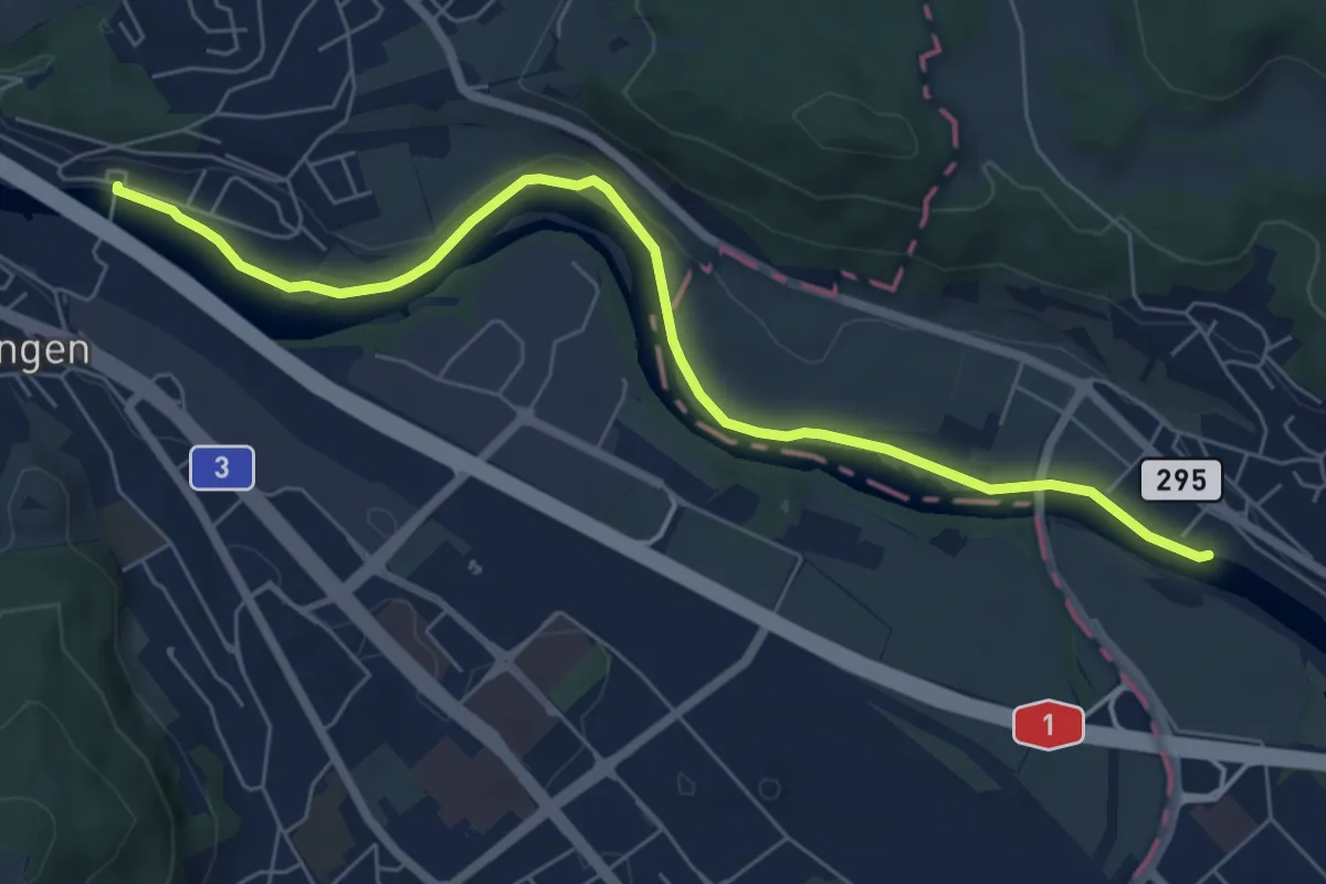
Easy · Pilgrim path
Hugenotten- und Waldenserweg
3.4 km · ↑ 20 m · 54 min · 14 km away
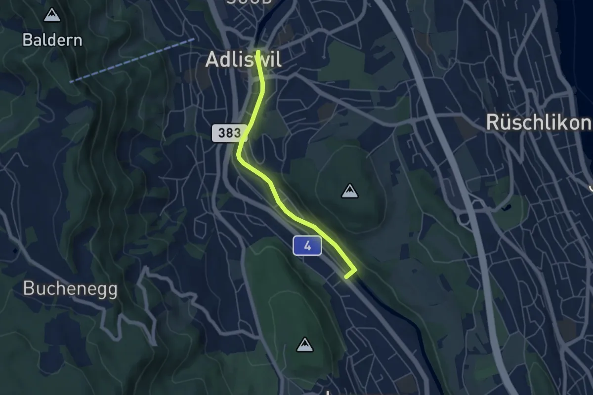
Easy · Trail
Adliswil – Wildpark Langenberg
4.4 km · ↑ 56 m · 1 h 9 min · 14 km away
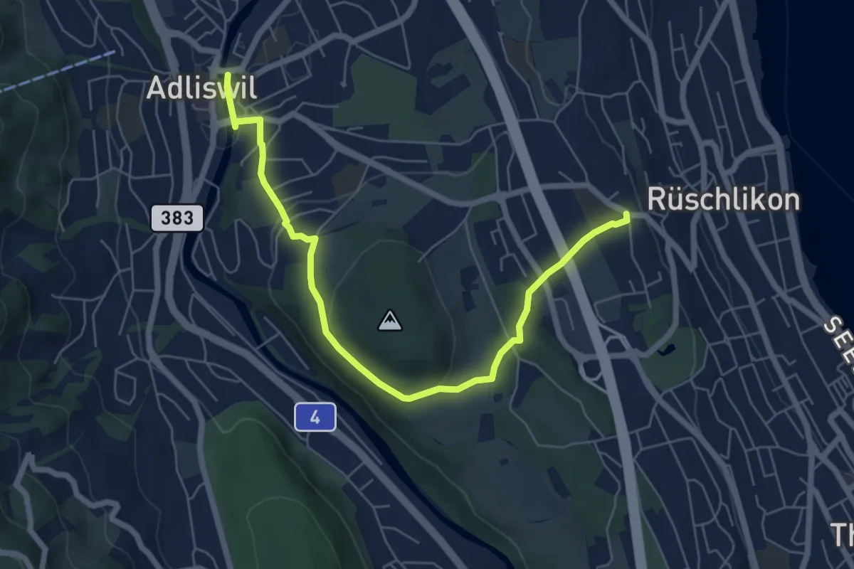
Easy · Trail
Adliswil – Nidelbad
6.5 km · ↑ 172 m · 1 h 55 min · 14 km away
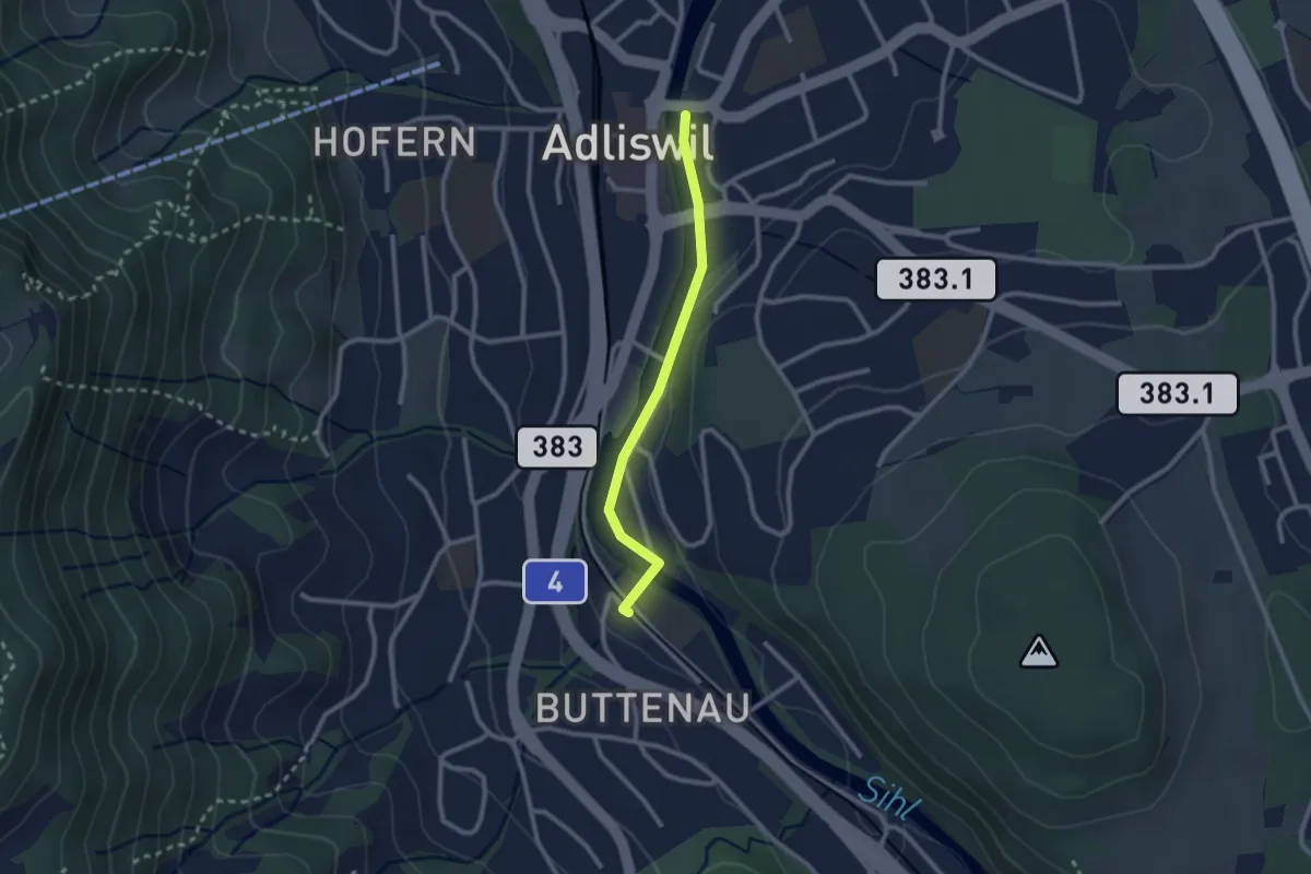
Easy · Trail
Adliswil - Sihlau
2.2 km · ↑ 28 m · 35 min · 14 km away
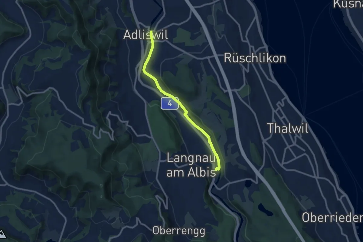
Easy · Trail
Adliswil - Langnau-Gattikon
7.2 km · ↑ 78 m · 1 h 53 min · 14 km away
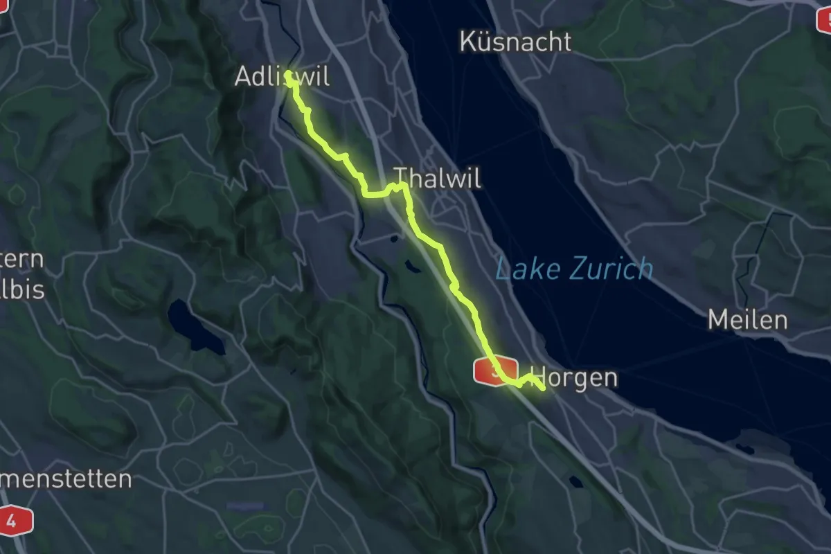
Demanding · Trail
Adliswil – Horgen Oberdorf
19.0 km · ↑ 623 m · 5 h 50 min · 14 km away
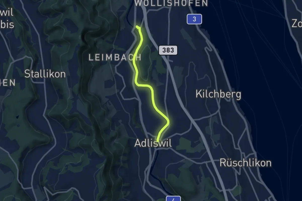
Easy · Trail
Zürich Manegg – Adliswil
6.8 km · ↑ 134 m · 1 h 54 min · 14 km away
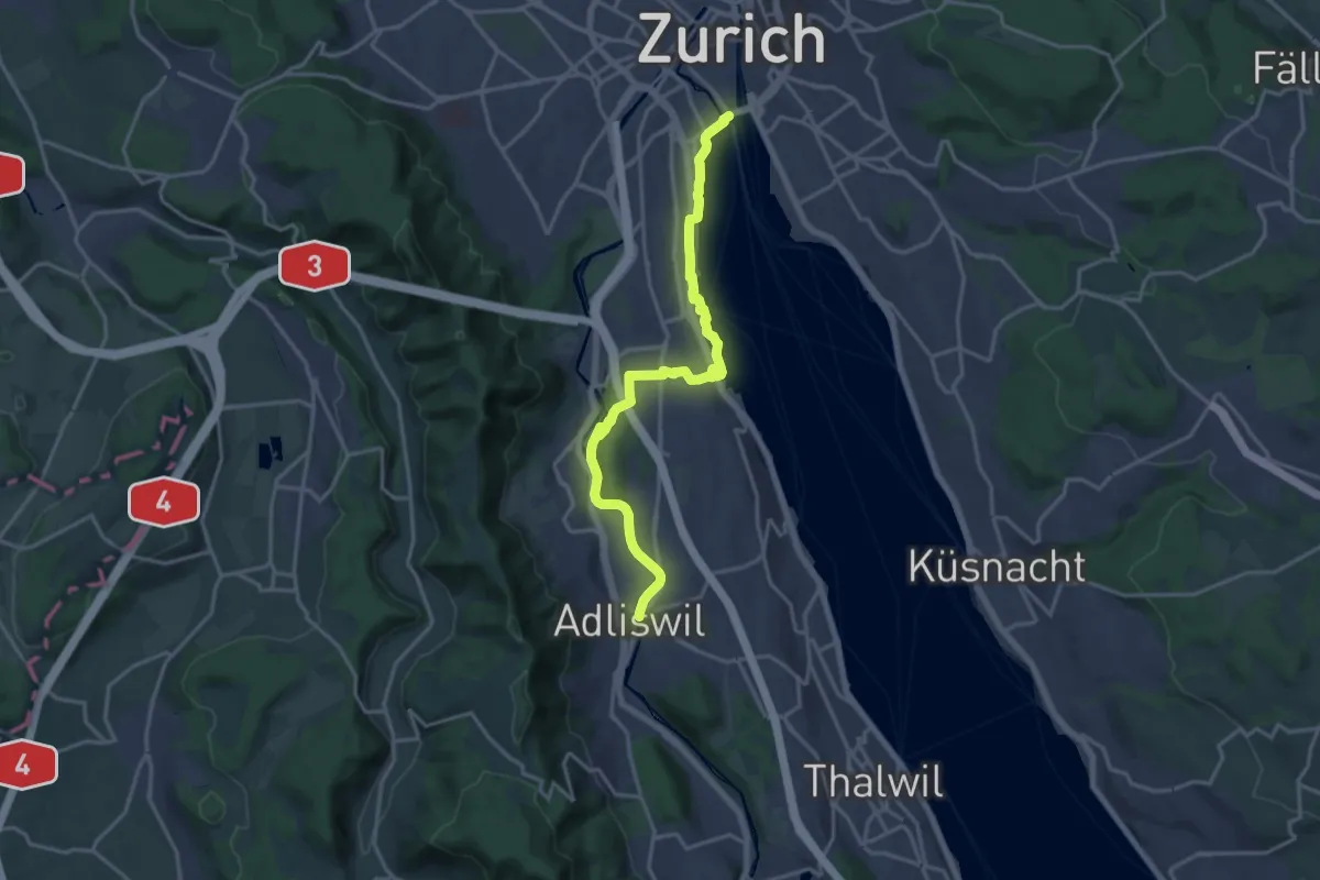
Medium · Trail
Zürichsee Rundweg - Etappe 1
17.8 km · ↑ 258 m · 4 h 45 min · 14 km away
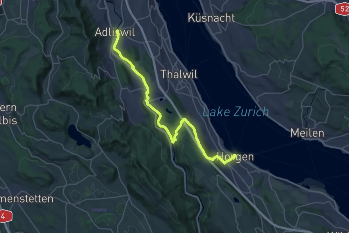
Demanding · Trail
Zürichsee Rundweg - Etappe 2
23.9 km · ↑ 571 m · 6 h 53 min · 14 km away
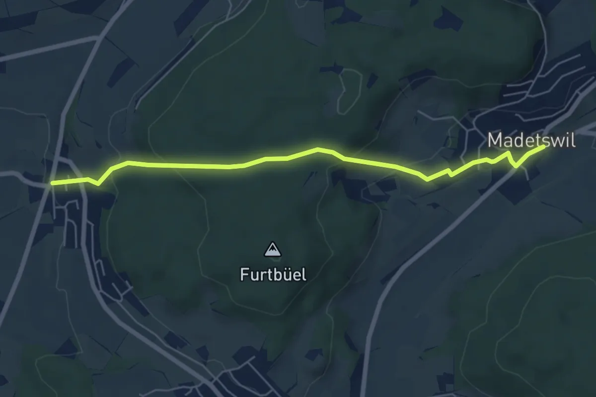
Easy · Trail
Rumlikon – Madetswil
5.5 km · ↑ 227 m · 1 h 47 min · 14 km away
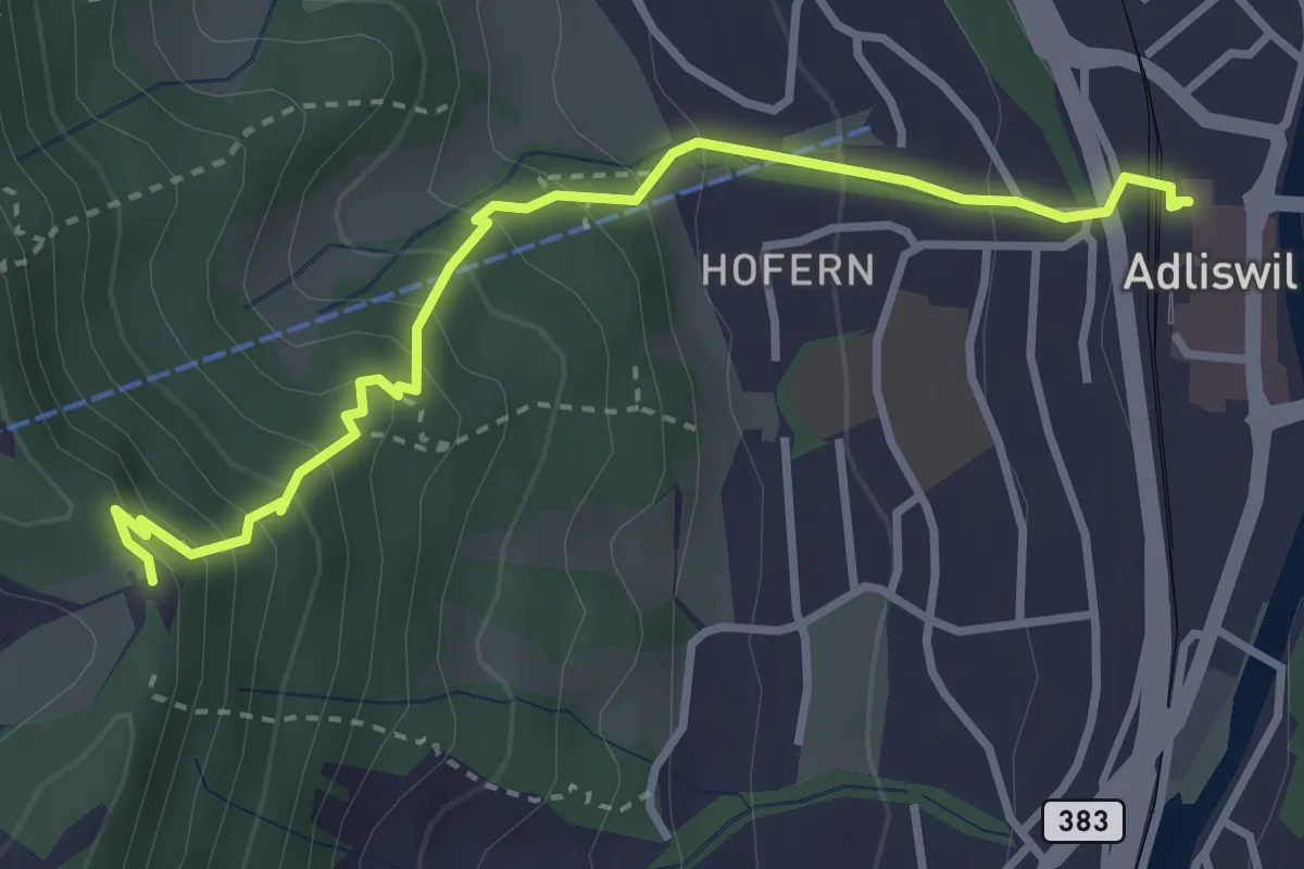
Medium · Trail
Adliswil (Bahnhof) – Felsenegg
3.5 km · ↑ 325 m · 1 h 31 min · 14 km away
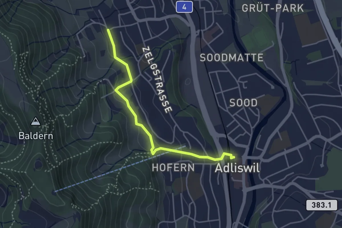
Easy · Trail
Adliswil (Bahnhof) – Ober Leimbach
3.6 km · ↑ 149 m · 1 h 10 min · 14 km away
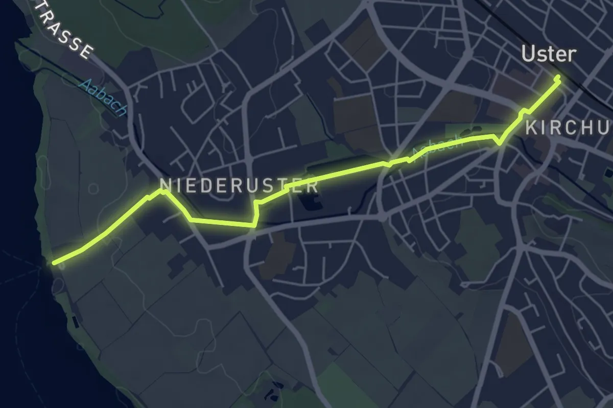
Easy · Trail
Uster – Niederuster
5.2 km · ↑ 30 m · 1 h 17 min · 14 km away
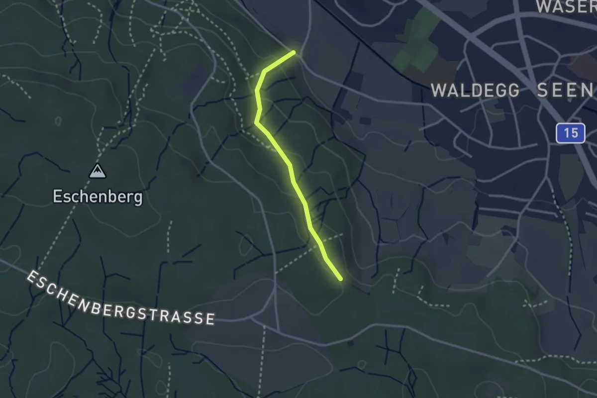
Easy · Trail
Paradis – Waldegg
2.3 km · ↑ 105 m · 46 min · 14 km away
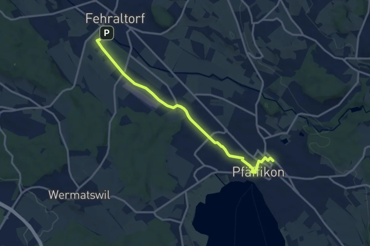
Medium · Trail
Fehraltorf – Pfäffikon
8.4 km · ↑ 17 m · 2 h 1 min · 14 km away