Trails near Pfäffikon SZ
564 hikes starting within 15 km, nearest first.
Nearest first, page 10 of 12
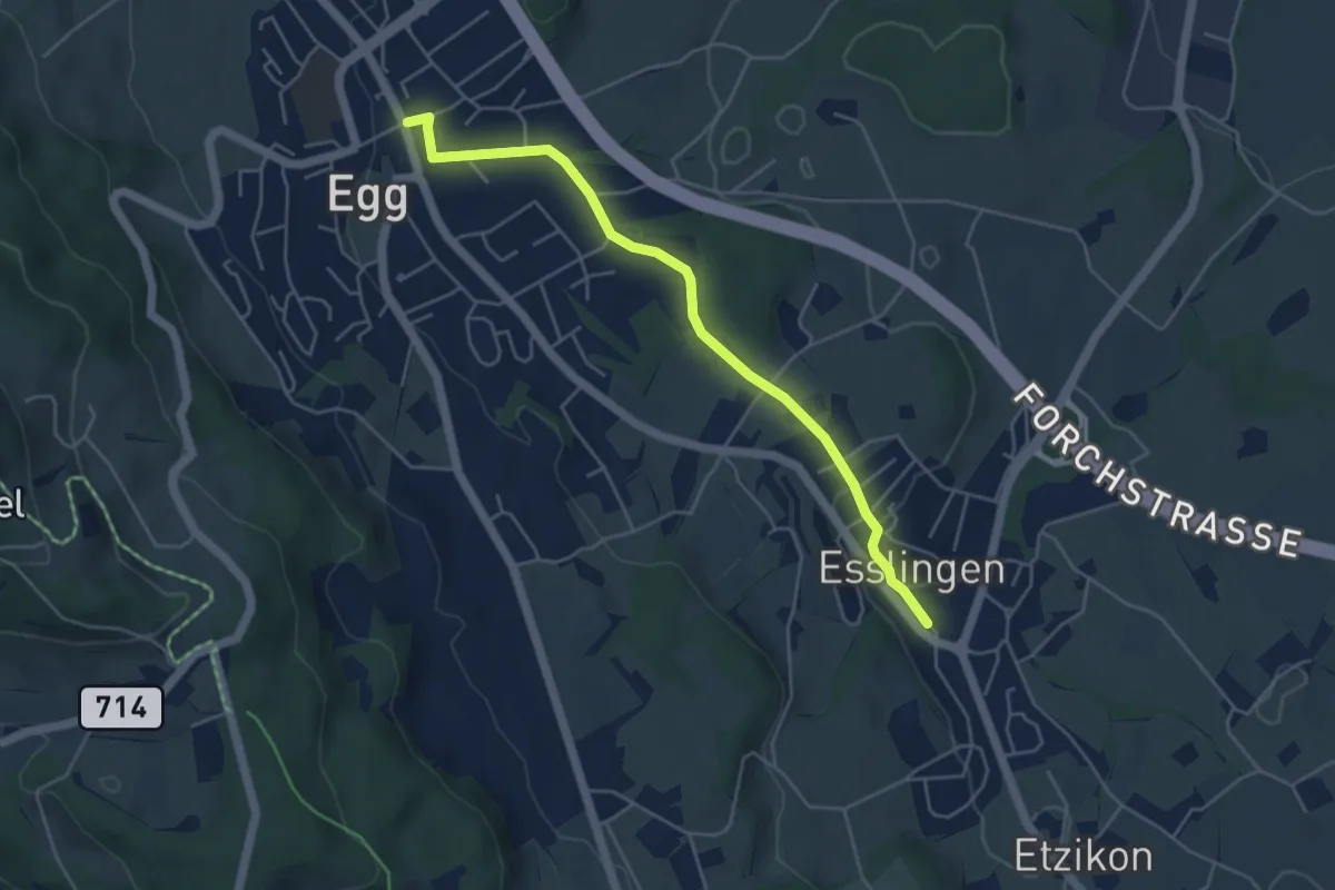
Easy · Trail
Egg – Esslingen
4.8 km · ↑ 66 m · 1 h 17 min · 13 km away
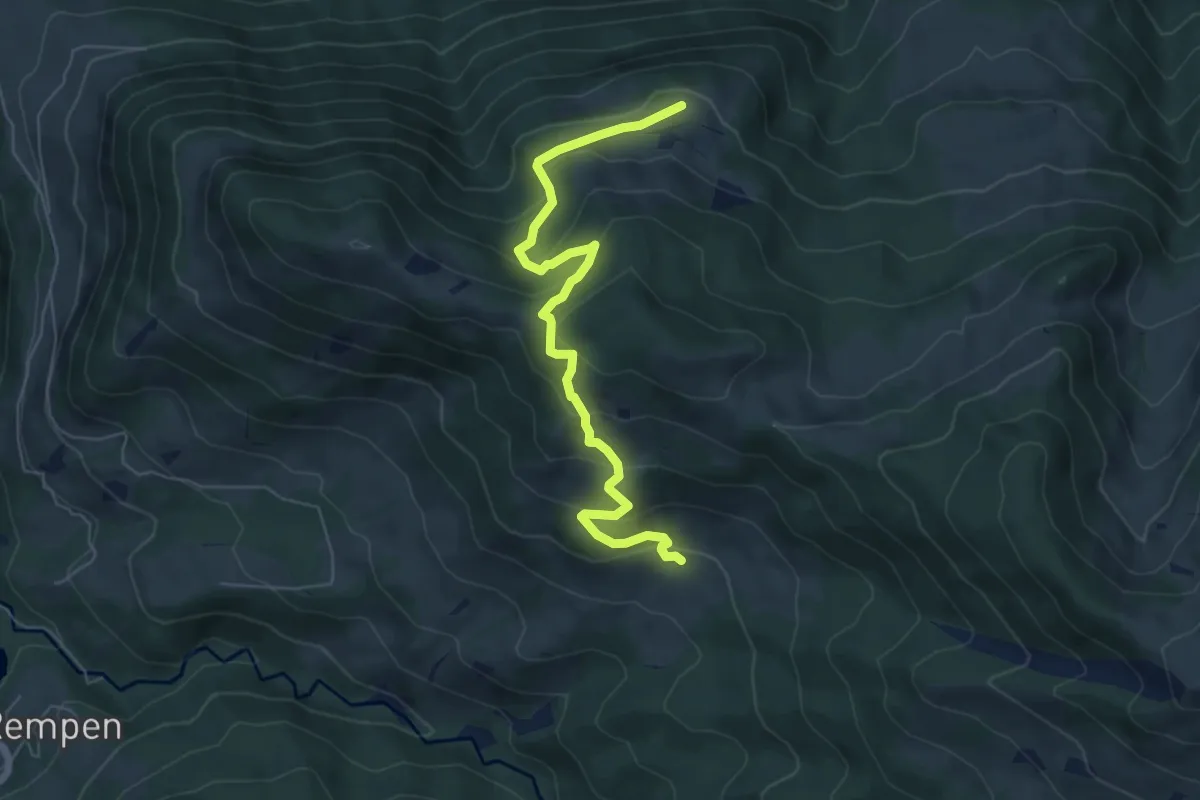
Medium · Trail
Tostel – Billmeschwändi
6.5 km · ↑ 407 m · 2 h 25 min · 13 km away
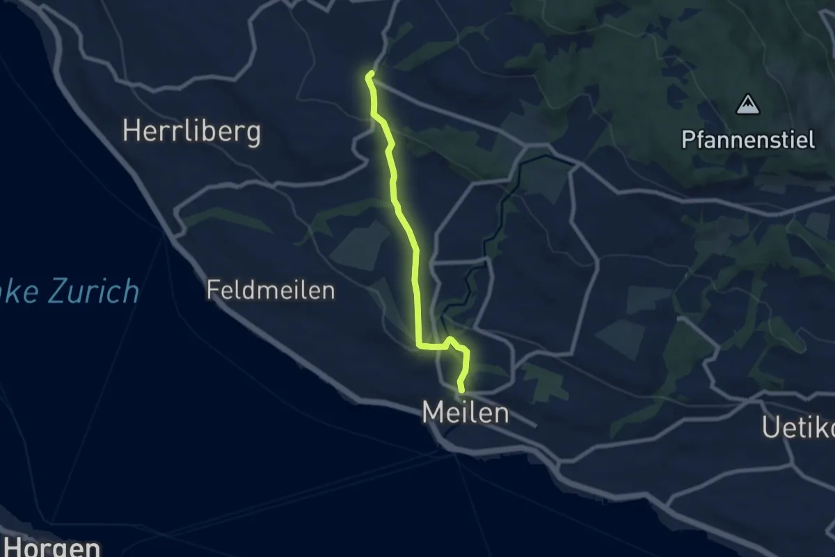
Easy · Trail
Wetzwil – Meilen Dorfbach
6.1 km · ↑ 203 m · 1 h 53 min · 13 km away
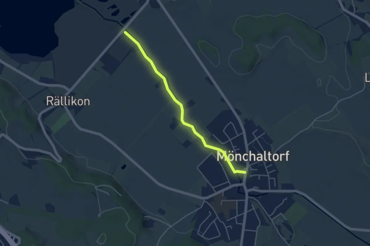
Easy · Trail
Silberweide - Mönchaltorf
3.7 km · ↑ 4 m · 53 min · 13 km away
Easy · Trail
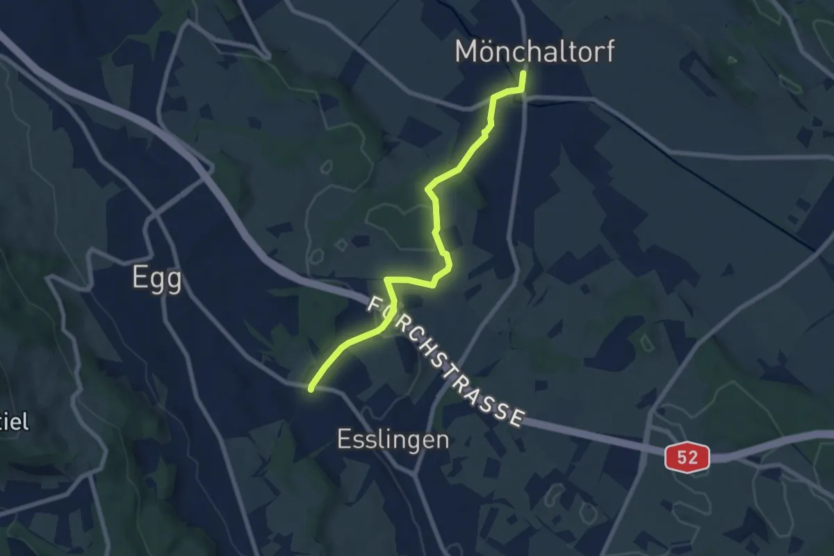
Mönchaltorf - Emmat
6.4 km · ↑ 97 m · 1 h 44 min · 13 km away
Demanding · Summit
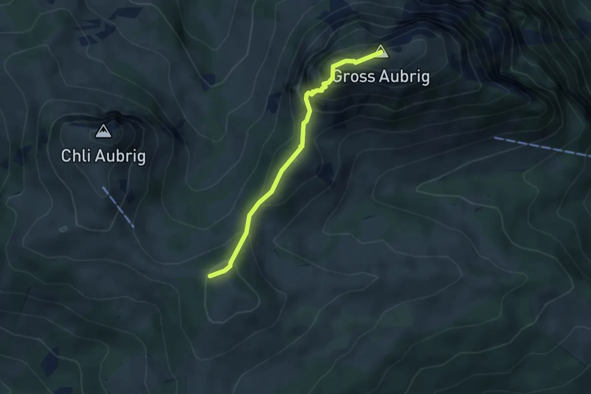
Gross Aubrig – Nüssen
3.5 km · ↑ 375 m · 1 h 39 min · 13 km away
Easy · Trail
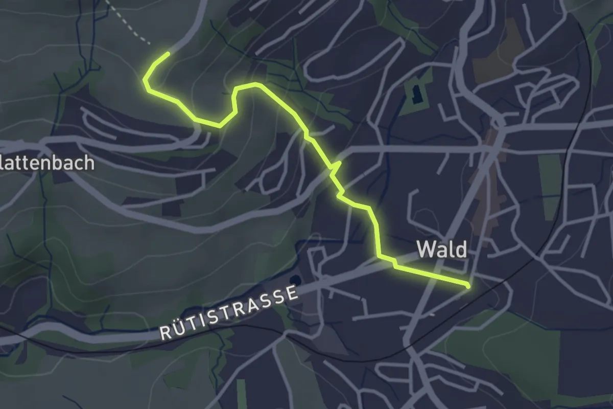
Tänler – Wald
3.1 km · ↑ 148 m · 1 h 3 min · 13 km away
Easy · Trail
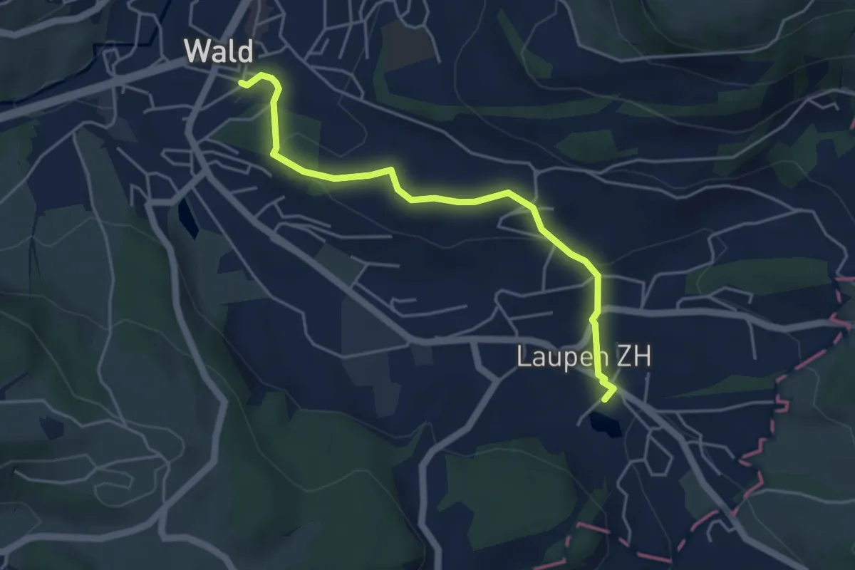
Laupen – Wald
4.2 km · ↑ 133 m · 1 h 17 min · 13 km away
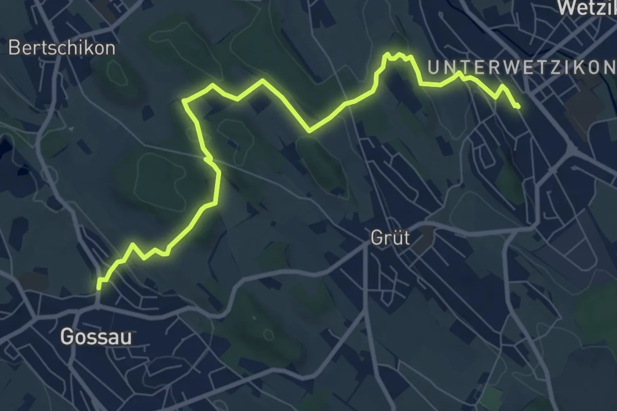
Medium · Trail
Gossau – Wetzikon
8.6 km · ↑ 221 m · 2 h 31 min · 13 km away
Medium · Trail
Wetzikon - Sulzbach
9.8 km · ↑ 179 m · 2 h 42 min · 13 km away
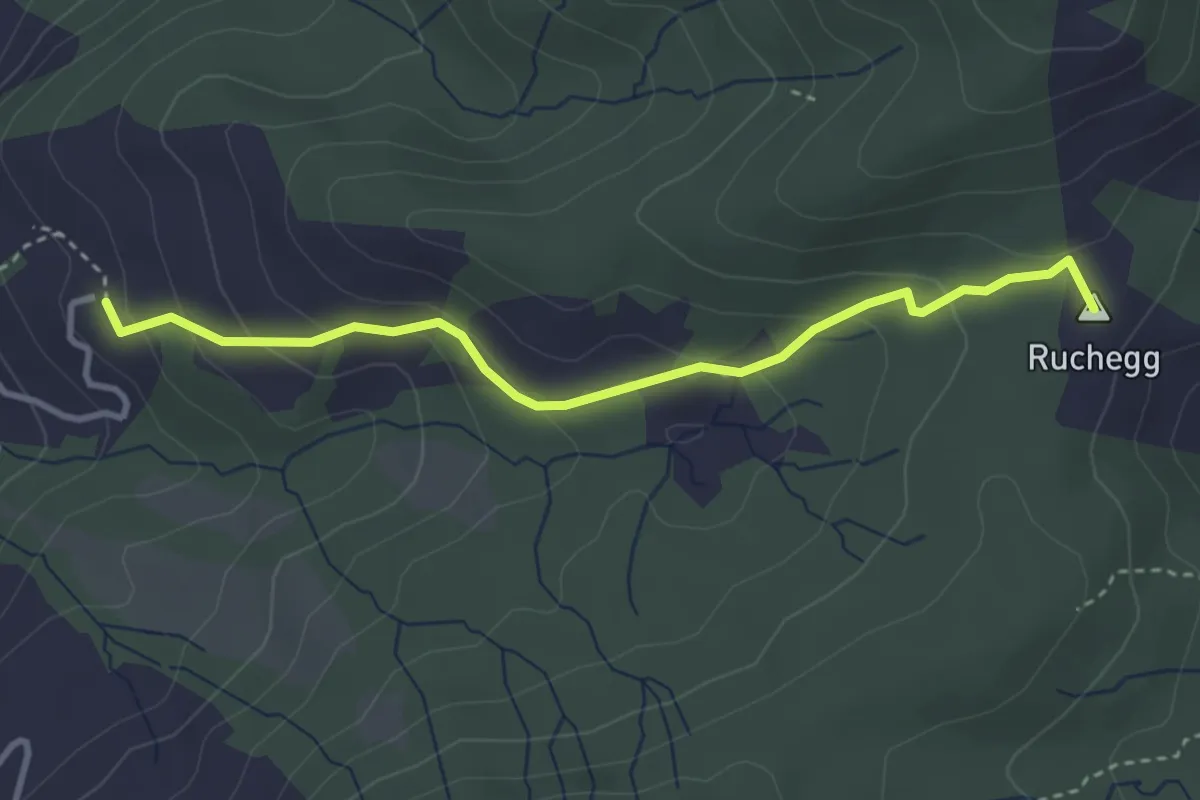
Medium · Summit
Biberstock – Ruchegg
3.4 km · ↑ 182 m · 1 h 12 min · 13 km away
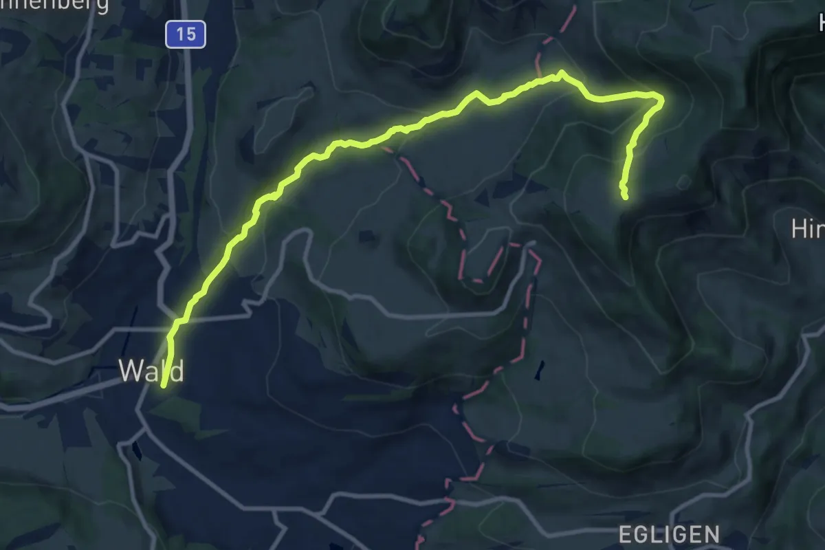
Medium · Cabin
Wald - Farneralp
11.4 km · ↑ 560 m · 3 h 54 min · 13 km away
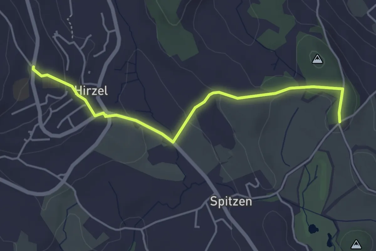
Easy · Trail
Hirzel – Schlieregg
4.2 km · ↑ 95 m · 1 h 12 min · 13 km away
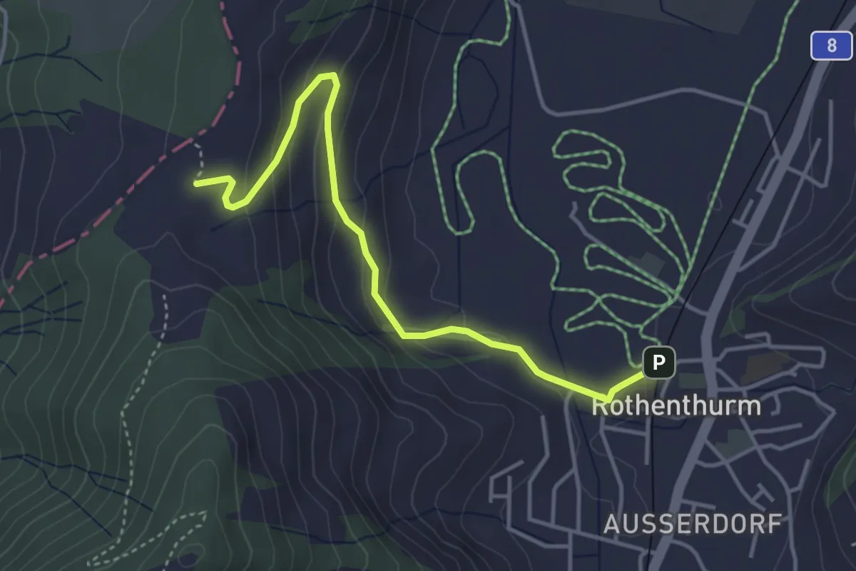
Easy · Trail
Chli Morgarten - Rotenthurm Bahnhof
4.1 km · ↑ 147 m · 1 h 17 min · 13 km away
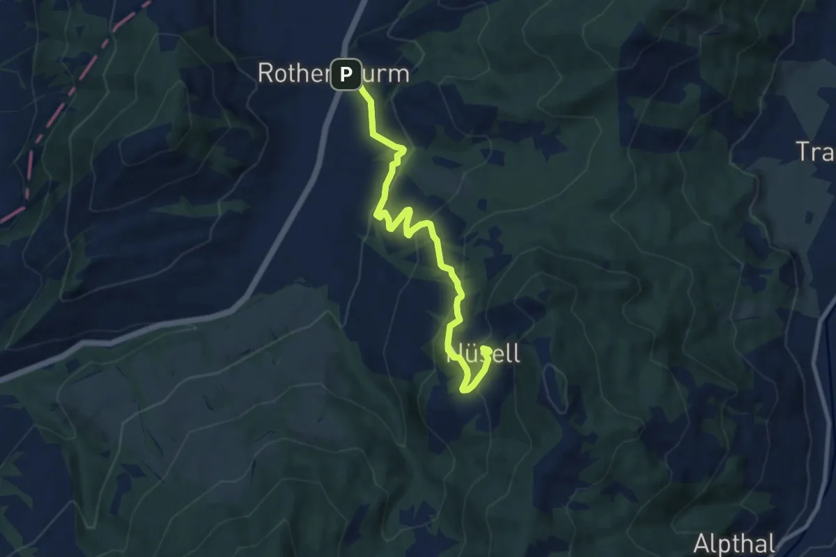
Medium · Trail
Rothenthurm – Nüsell
8.1 km · ↑ 418 m · 2 h 49 min · 13 km away
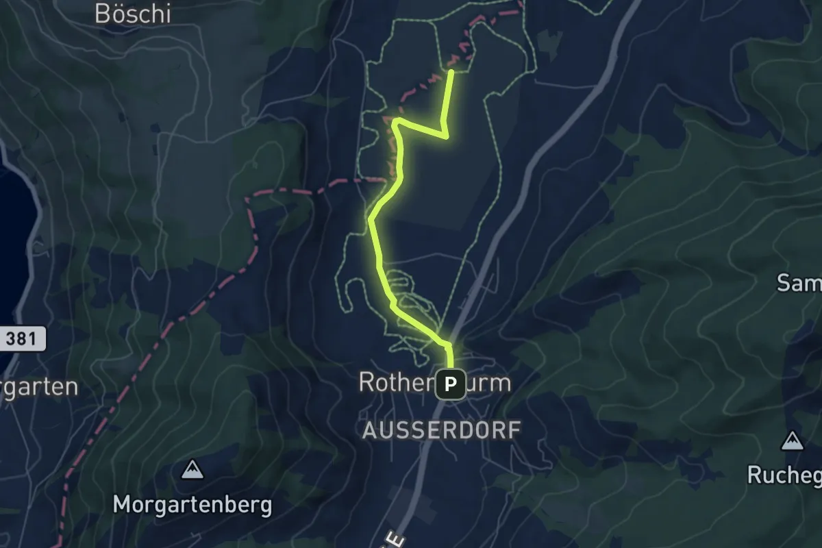
Easy · Trail
Burbrugg – Rothenturm
5.2 km · ↑ 27 m · 1 h 17 min · 13 km away
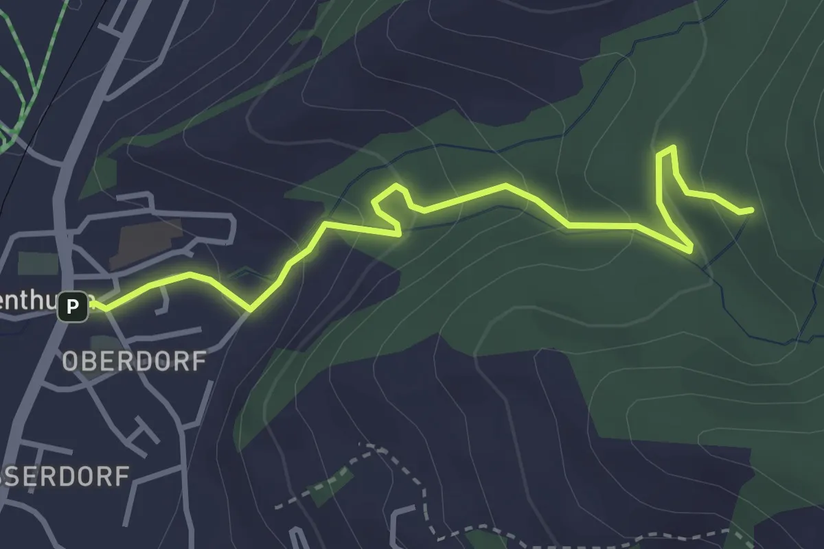
Easy · Trail
Rothenthurm – Herrenwald
3.4 km · ↑ 208 m · 1 h 15 min · 13 km away
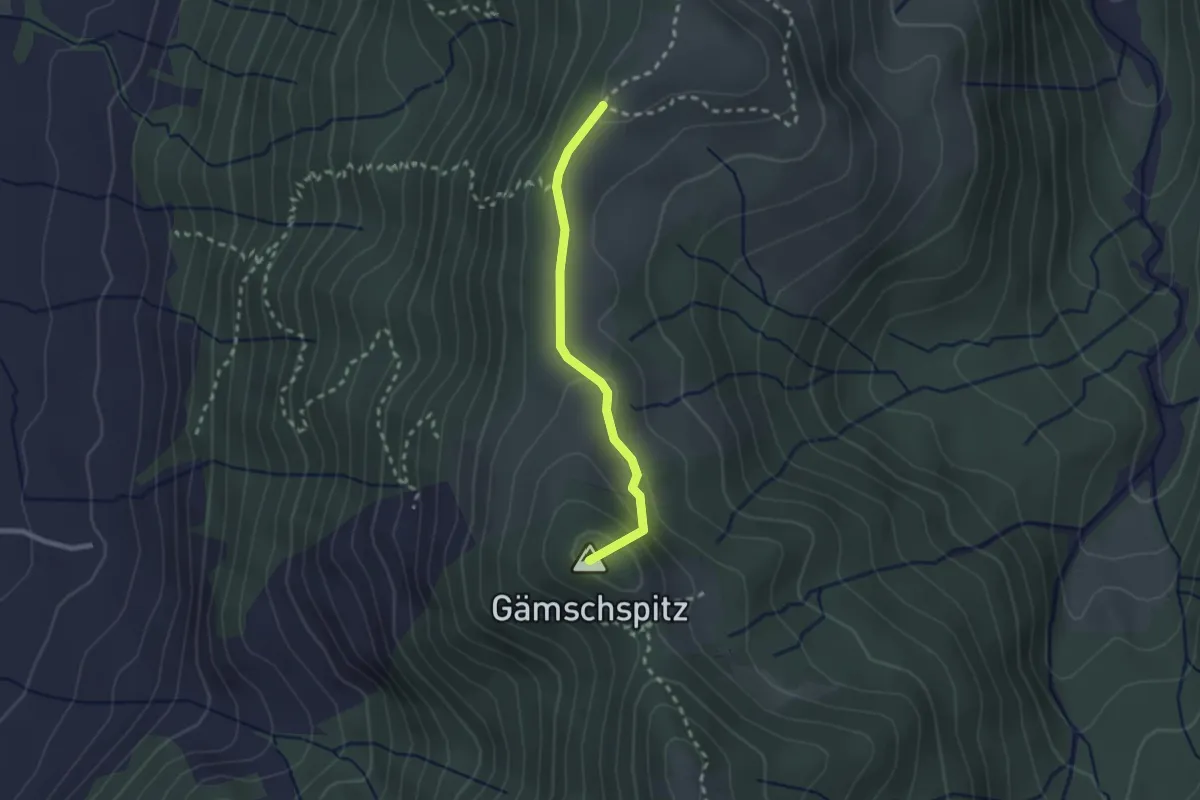
Easy · Summit
Amselschwänd - Stockhütte
2.1 km · ↑ 93 m · 42 min · 13 km away
Easy · Trail
Zwüschenbäch - Ländli
2.2 km · ↑ 165 m · 53 min · 13 km away
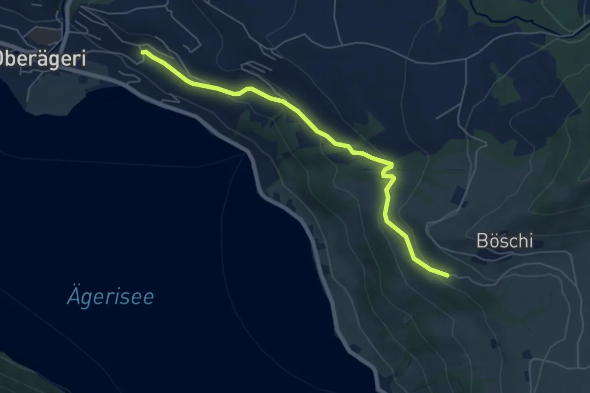
Easy · Trail
Rämsli - Oberägerie
5.4 km · ↑ 204 m · 1 h 43 min · 13 km away
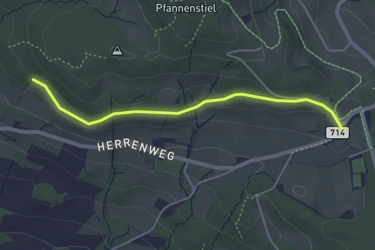
Easy · Trail
Eichhalden – Vorderpfannenstiel
3.4 km · ↑ 100 m · 1 h 1 min · 13 km away
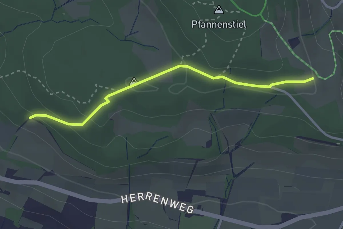
Easy · Trail
Eichhalden – Pfannenstiel Hochwacht
2.5 km · ↑ 87 m · 47 min · 13 km away
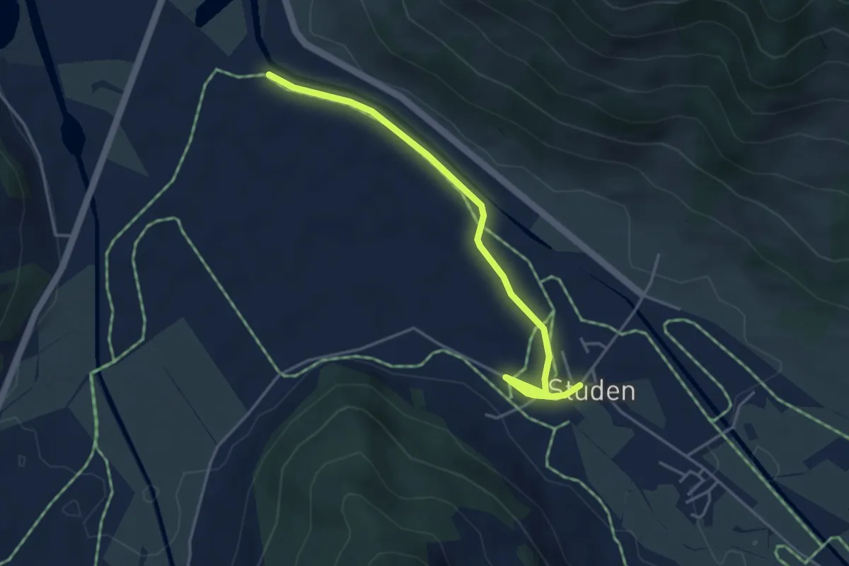
Easy · Trail
Studen - Breitried
4.1 km · ↑ 0 m · 59 min · 13 km away
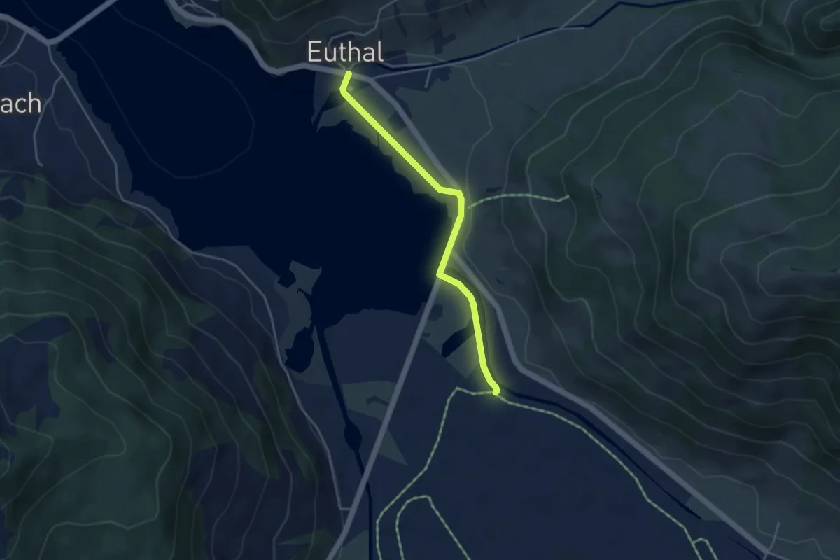
Easy · Trail
Euthal - Breitried
3.8 km · ↑ 32 m · 57 min · 13 km away
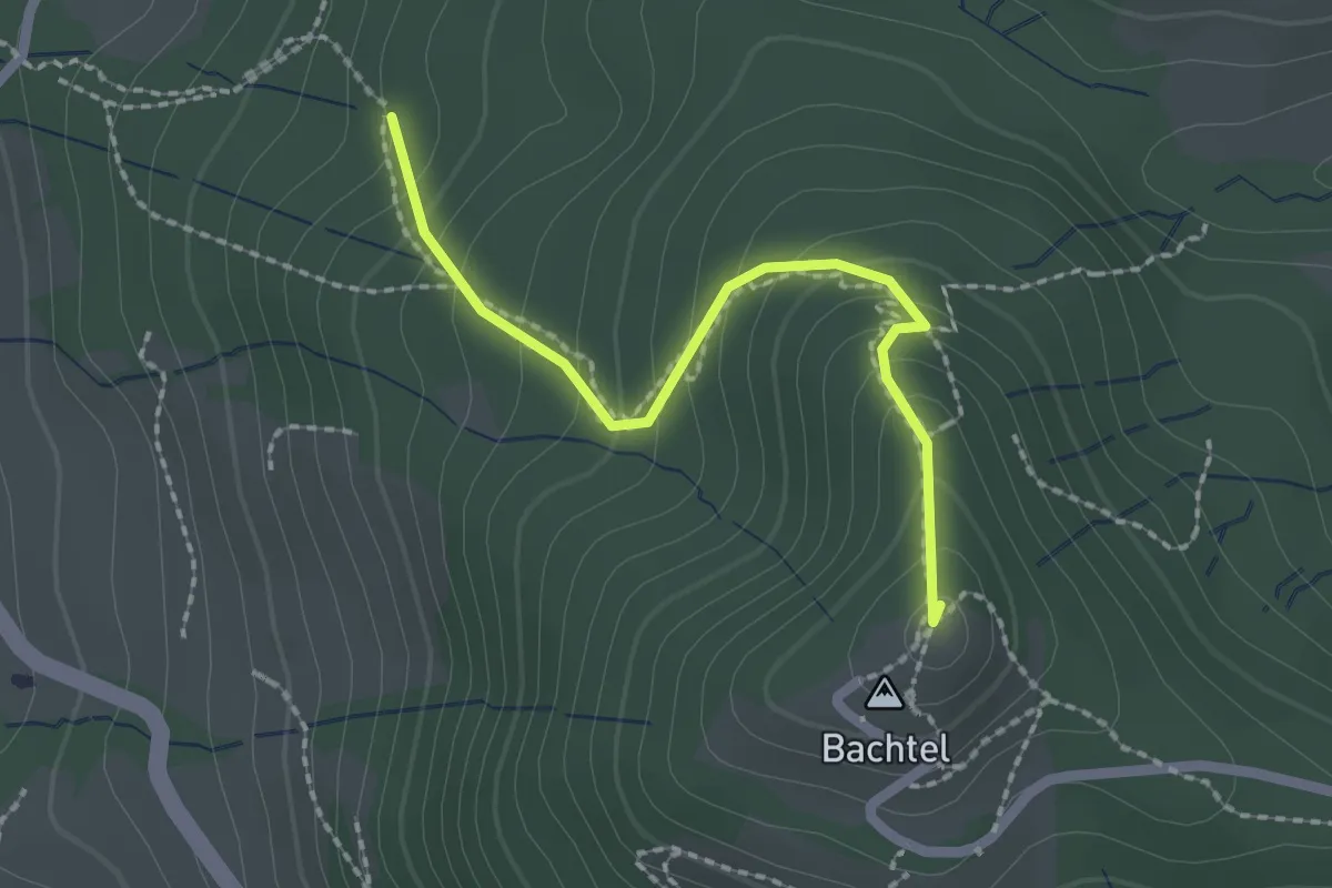
Easy · Summit
Horn – Bachtel
2.0 km · ↑ 168 m · 50 min · 13 km away
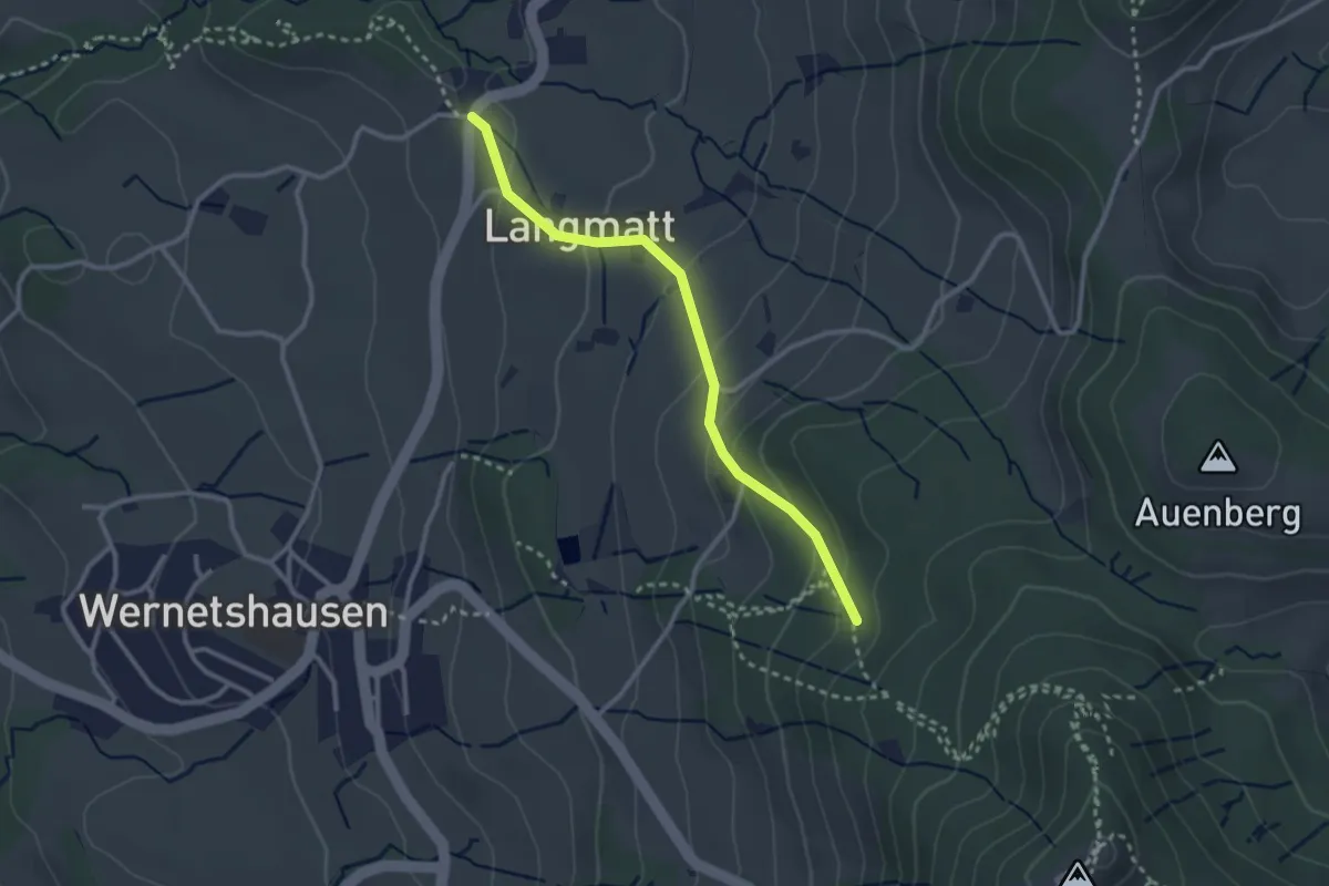
Easy · Trail
Horn – Girenbad (Parkplatz)
2.7 km · ↑ 155 m · 58 min · 13 km away
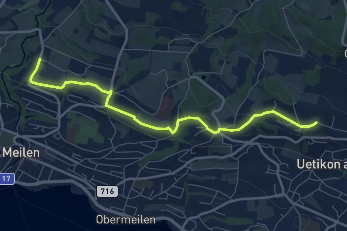
Easy · Trail
Burg - Uetikon Brand
7.5 km · ↑ 124 m · 2 h 2 min · 13 km away
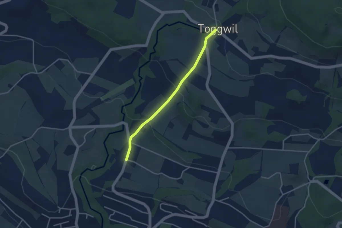
Easy · Trail
Toggwil – Burg
2.6 km · ↑ 134 m · 55 min · 13 km away
Demanding · Trail
Zürichsee Rundweg - Etappe 8
20.0 km · ↑ 434 m · 5 h 39 min · 13 km away
Medium · Trail
Zürichsee Rundweg - Etappe 9
14.2 km · ↑ 227 m · 3 h 51 min · 13 km away
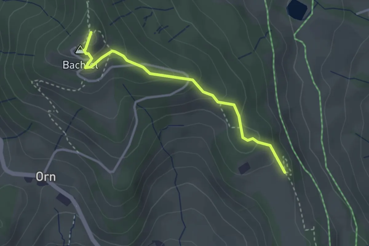
Easy · Summit
Bachtel – Bachtelspalt
2.7 km · ↑ 129 m · 55 min · 13 km away
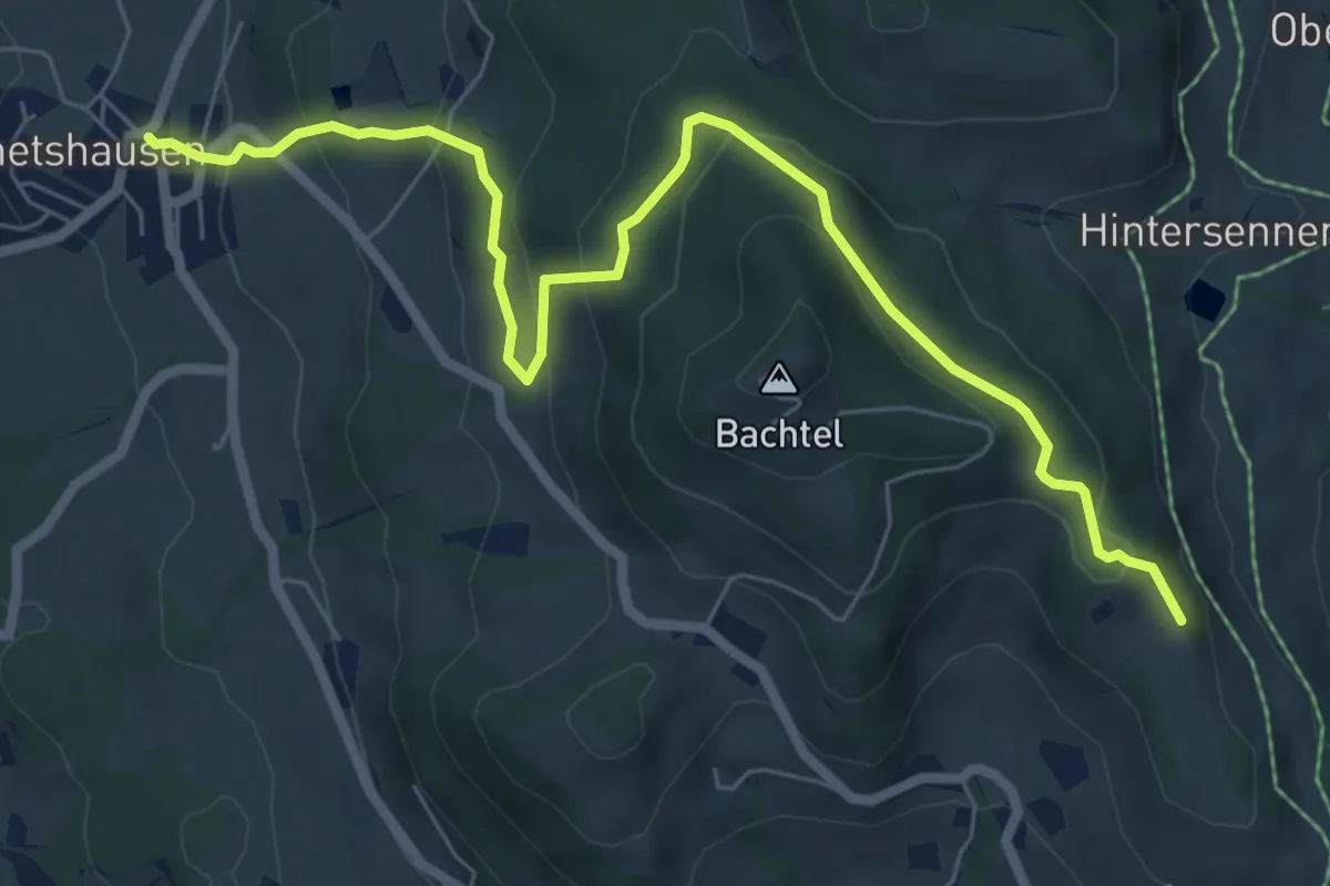
Medium · Trail
Wernetshausen – Bachtelspalt
7.7 km · ↑ 406 m · 2 h 42 min · 13 km away
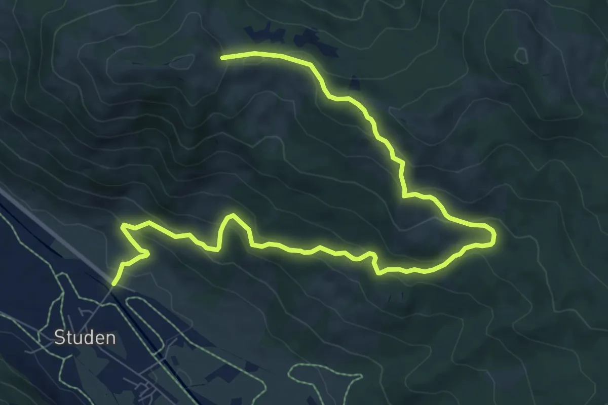
Medium · Trail
Haldeli – Wisstannen (Vorder Wisstannenweid)
11.2 km · ↑ 625 m · 3 h 59 min · 13 km away
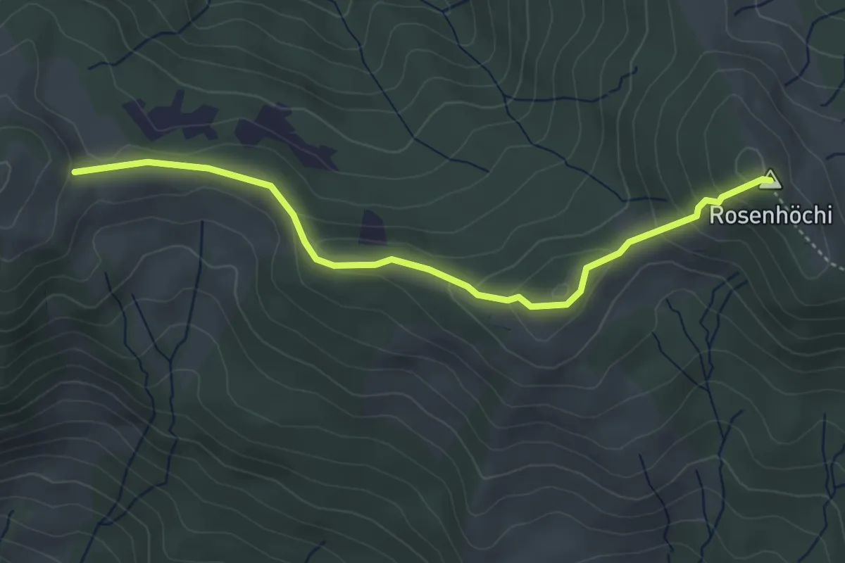
Easy · Summit
Wisstannen (Vorder Wisstannenweid) – Rosenhöchi
4.3 km · ↑ 209 m · 1 h 28 min · 13 km away
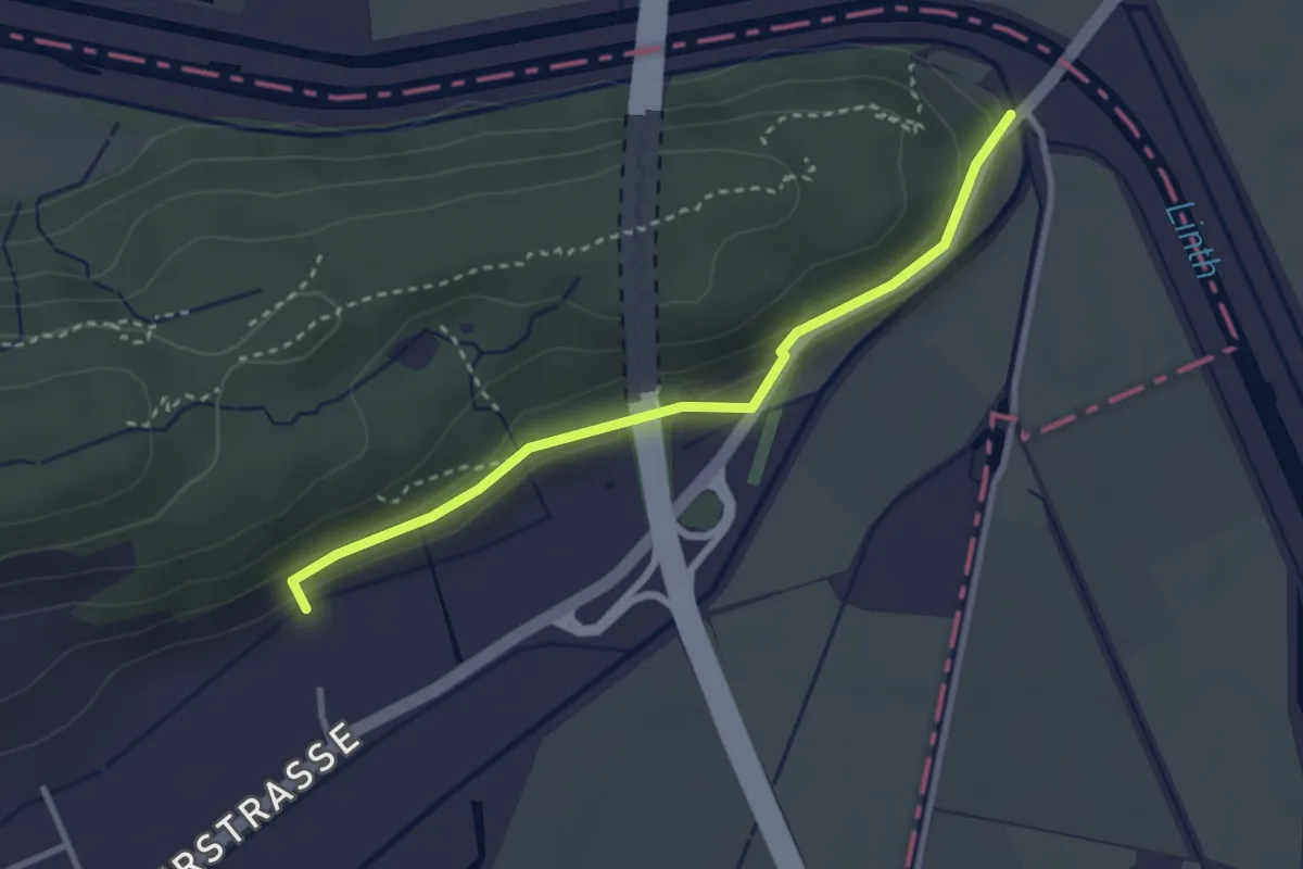
Easy · Trail
Grinau – Linthbord-Kapelle
3.0 km · ↑ 100 m · 55 min · 13 km away
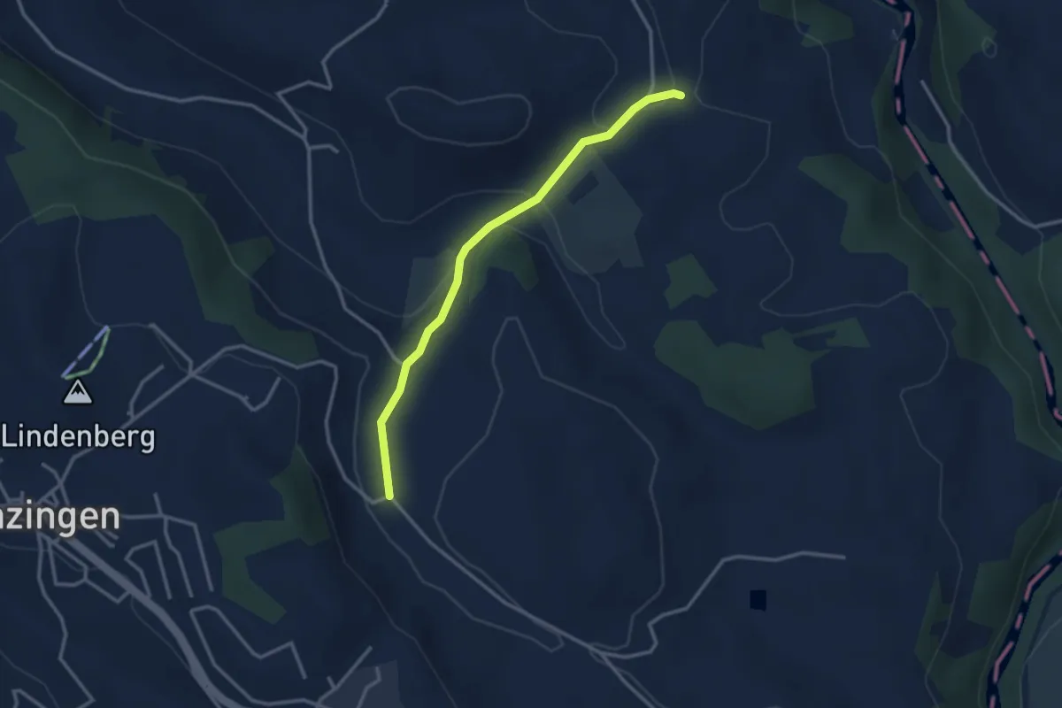
Easy · Trail
Schwand - Brättigen
2.9 km · ↑ 85 m · 52 min · 13 km away
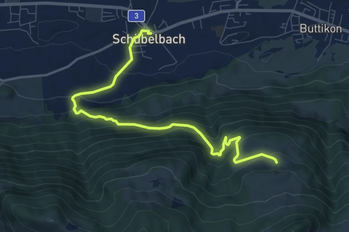
Medium · Trail
Schübelbach – Unter Willisberg
8.9 km · ↑ 577 m · 3 h 21 min · 13 km away
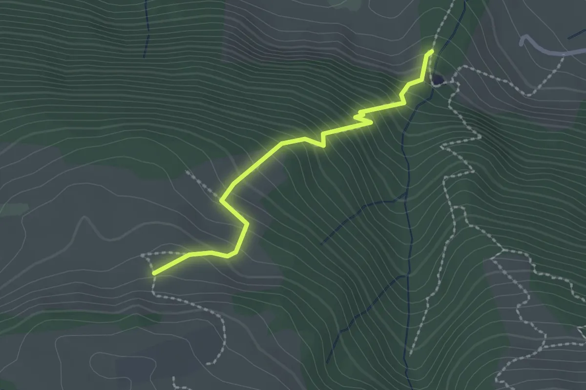
Easy · Trail
Unter Willisberg – östlich Bätthell
2.1 km · ↑ 286 m · 1 h 7 min · 13 km away
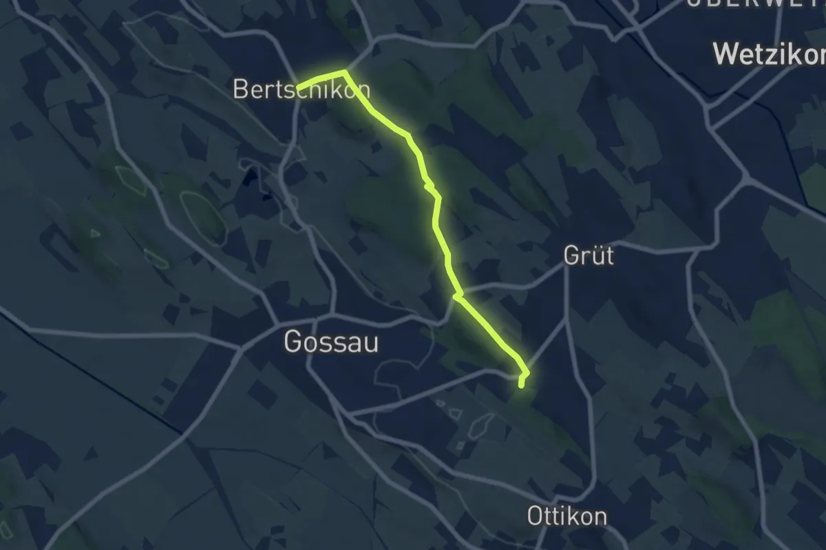
Easy · Trail
Berghof - Bertschikon
5.7 km · ↑ 121 m · 1 h 37 min · 13 km away
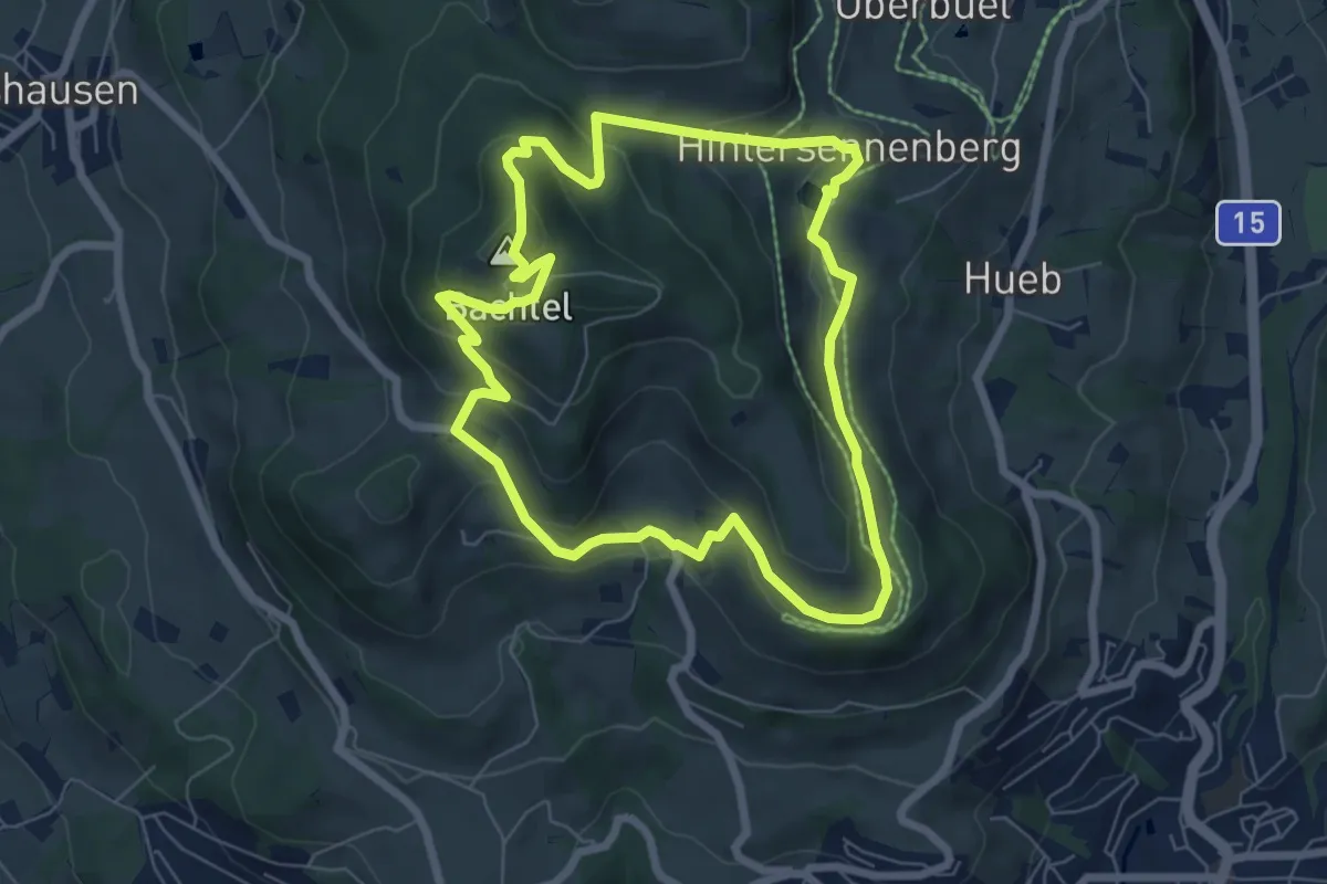
Easy · Summit
Bachtelweiher
6.5 km · ↑ 306 m · 2 h 17 min · 13 km away
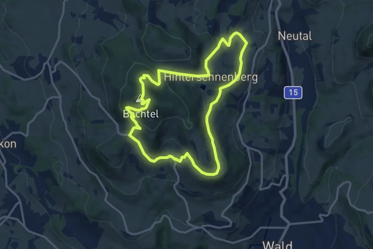
Medium · Summit
Bachtel-Kulm
8.3 km · ↑ 358 m · 2 h 51 min · 13 km away
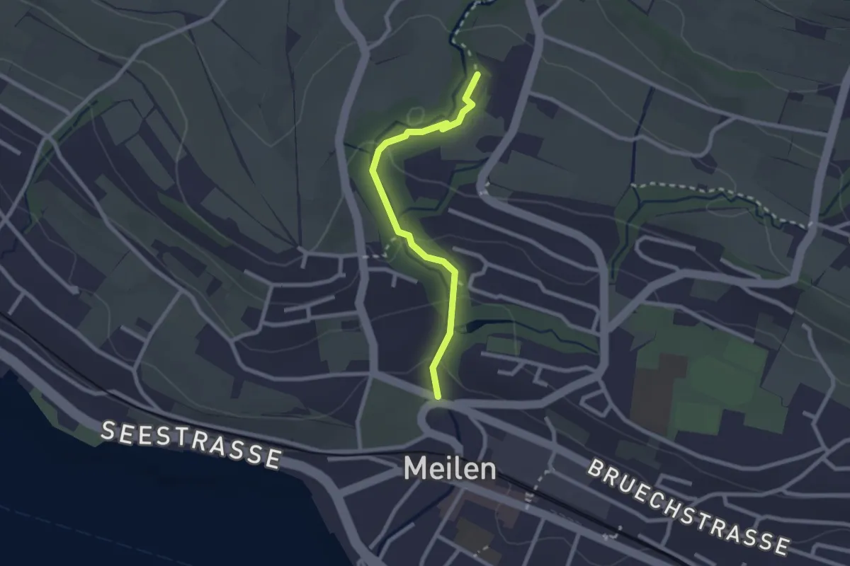
Easy · Trail
Rne. Friedberg – Meilen Dorfbach
2.2 km · ↑ 74 m · 41 min · 13 km away
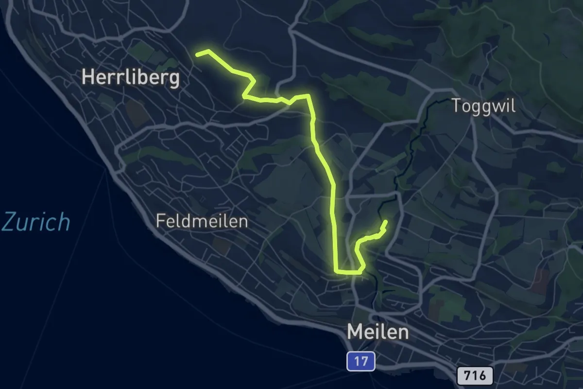
Easy · Trail
Wängi – Rne. Friedberg
7.6 km · ↑ 151 m · 2 h 8 min · 13 km away
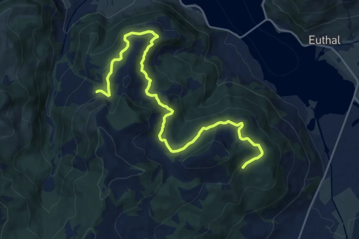
Medium · Trail
Ober Tries - Unter Hummel
14.2 km · ↑ 569 m · 4 h 35 min · 14 km away
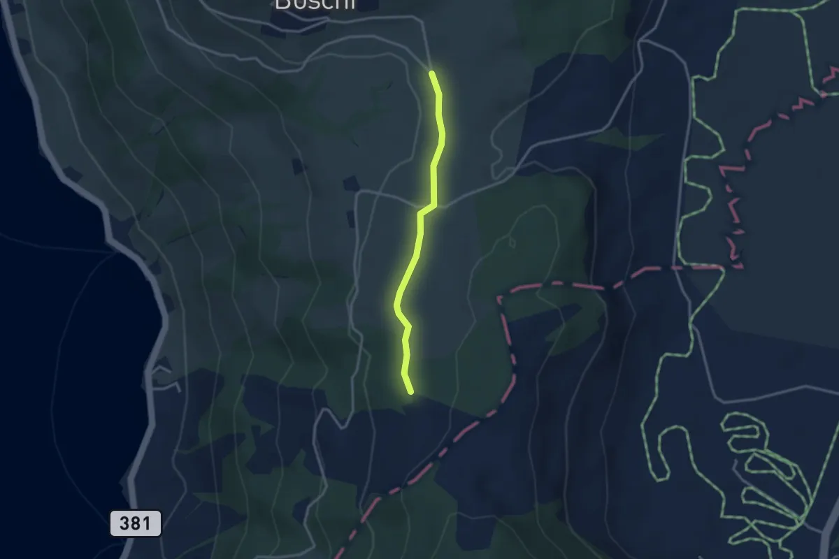
Easy · Trail
Teufiwald Süd - Ob Tännli
2.5 km · ↑ 23 m · 39 min · 14 km away
Easy · Summit
Winzwilen - Menzingen
2.7 km · ↑ 152 m · 57 min · 14 km away
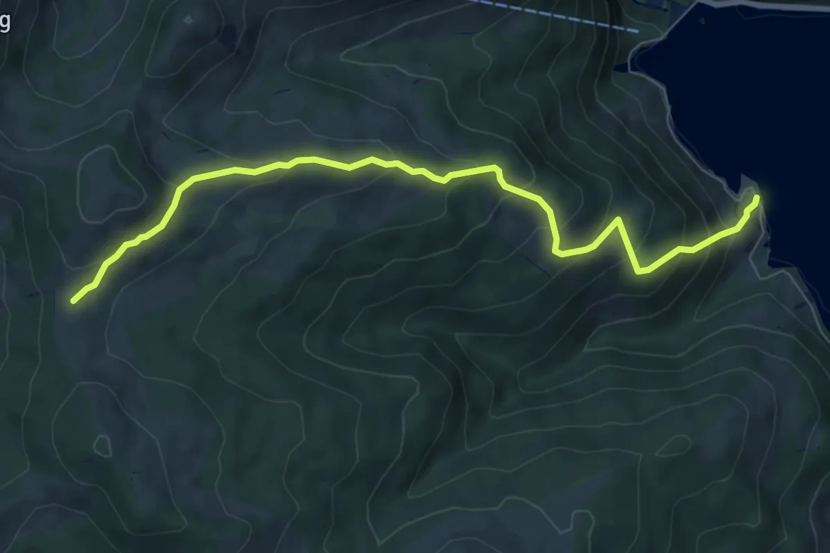
Medium · Trail
Salzläcki – Brandhaltli
7.8 km · ↑ 600 m · 3 h 8 min · 14 km away
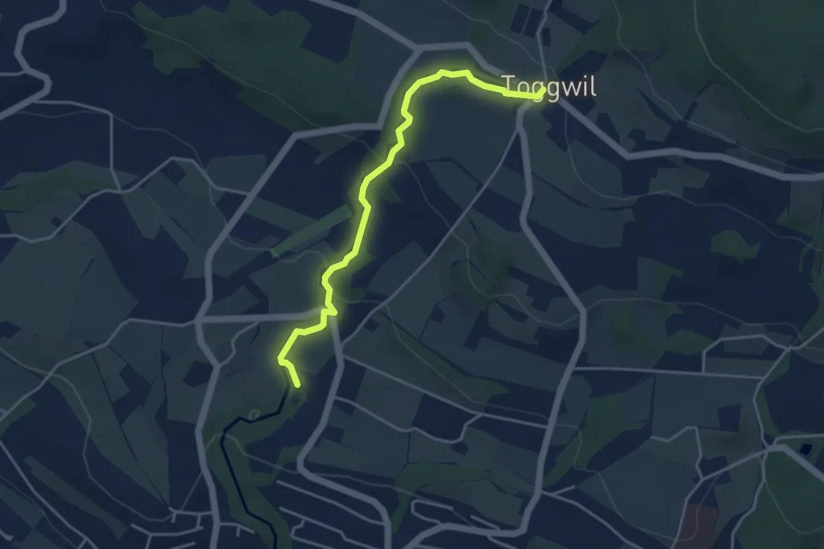
Easy · Trail
Toggwil – Rne. Friedberg
3.7 km · ↑ 134 m · 1 h 9 min · 14 km away