Trails near Pfäffikon SZ
564 hikes starting within 15 km, nearest first.
Nearest first, page 12 of 12
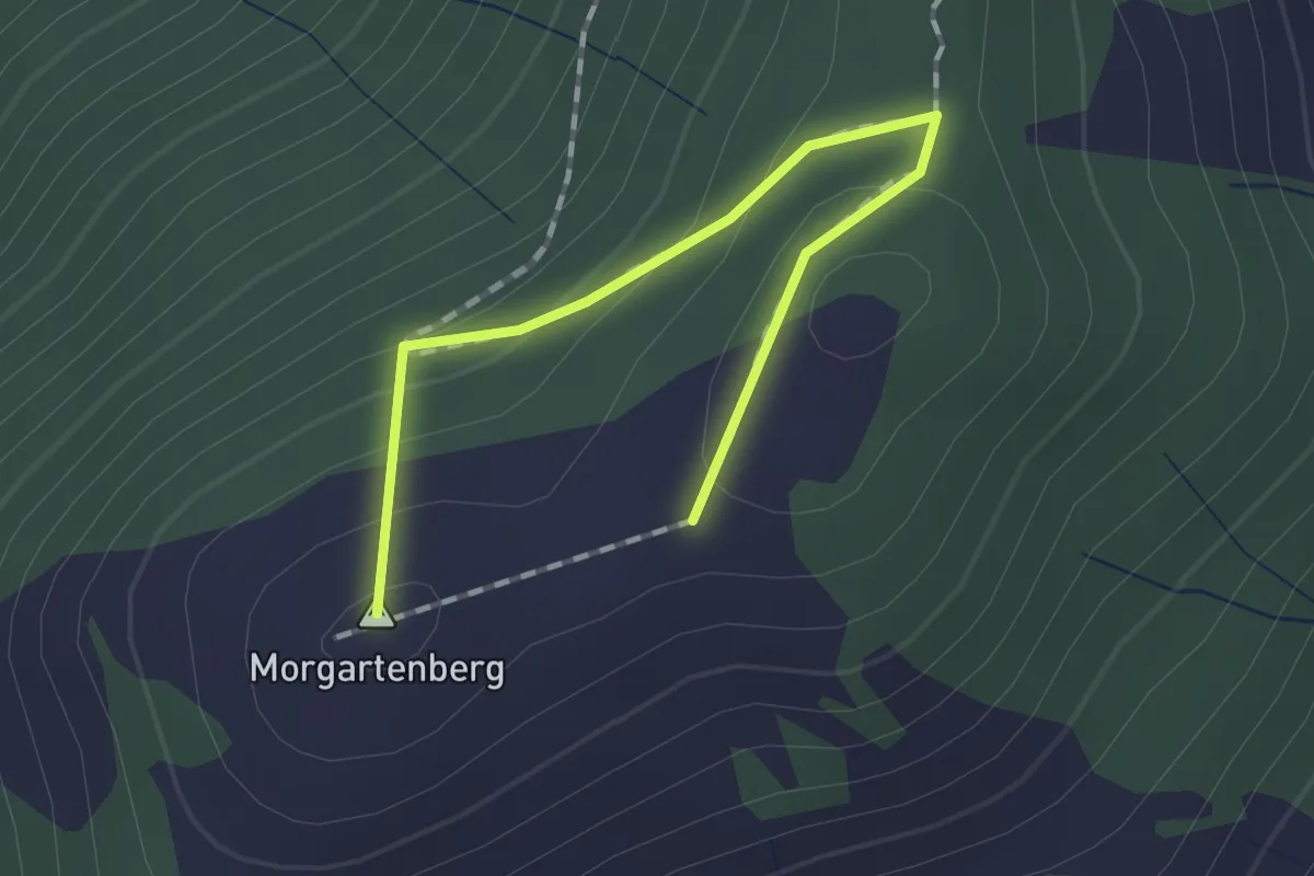
Easy · Summit
Morgartenberg - Chli Morgarten?
1.5 km · ↑ 84 m · 32 min · 14 km away
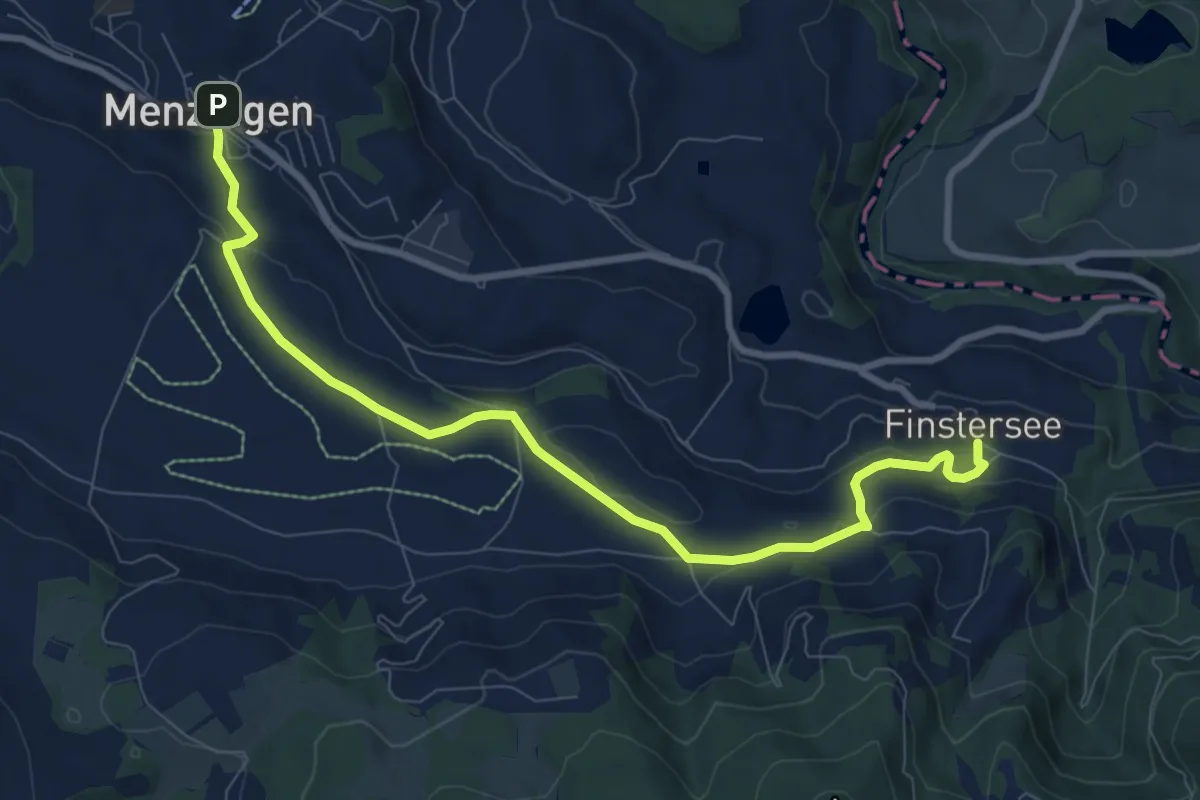
Medium · Trail
Menzingen - Finstersee
9.4 km · ↑ 171 m · 2 h 36 min · 14 km away
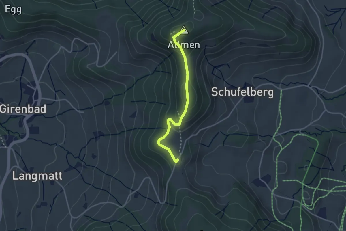
Easy · Summit
Schufelberger Egg - Allmen
2.6 km · ↑ 110 m · 51 min · 14 km away
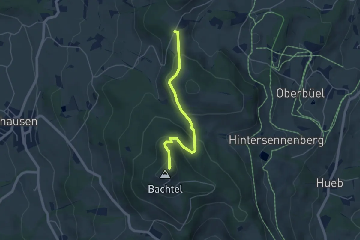
Easy · Summit
Schufelberger Egg – Bachtel
3.9 km · ↑ 190 m · 1 h 19 min · 14 km away
Easy · Trail
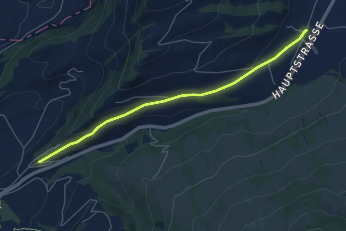
Hasenmatt - Lustnau? / Sattel? - fixme
5.1 km · ↑ 142 m · 1 h 31 min · 14 km away
Easy · Trail
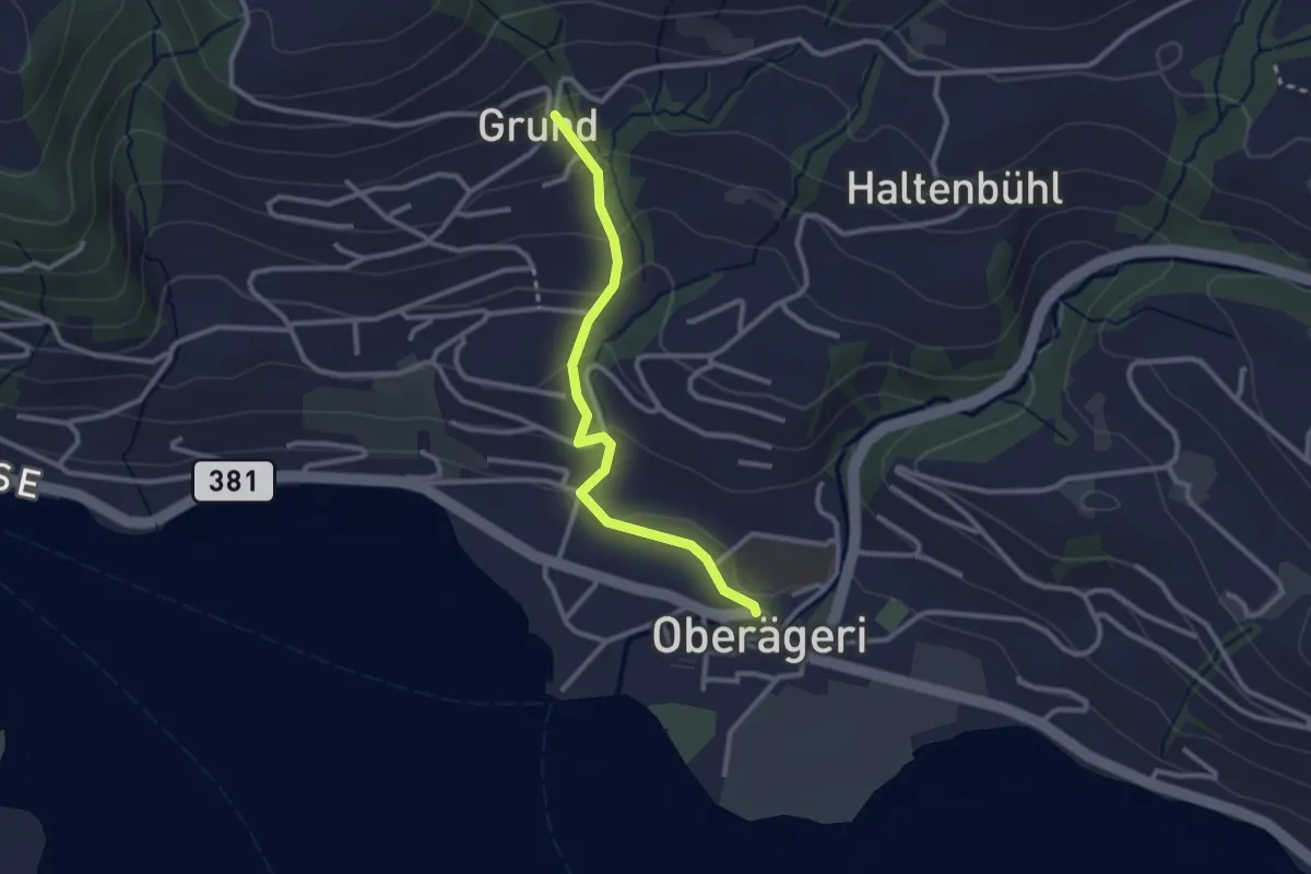
Grund - Oberägeri
2.6 km · ↑ 117 m · 52 min · 14 km away
Easy · Trail
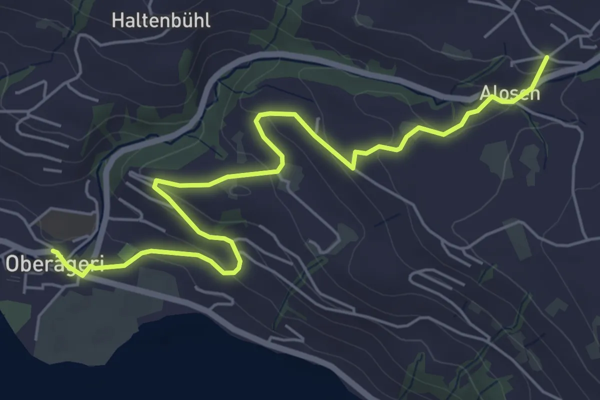
Alosen - Oberägeri
6.3 km · ↑ 175 m · 1 h 53 min · 14 km away
Easy · Trail
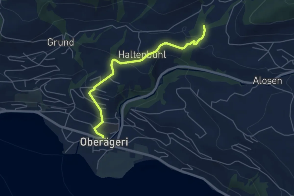
Chefibach – Oberägeri
4.3 km · ↑ 181 m · 1 h 24 min · 14 km away
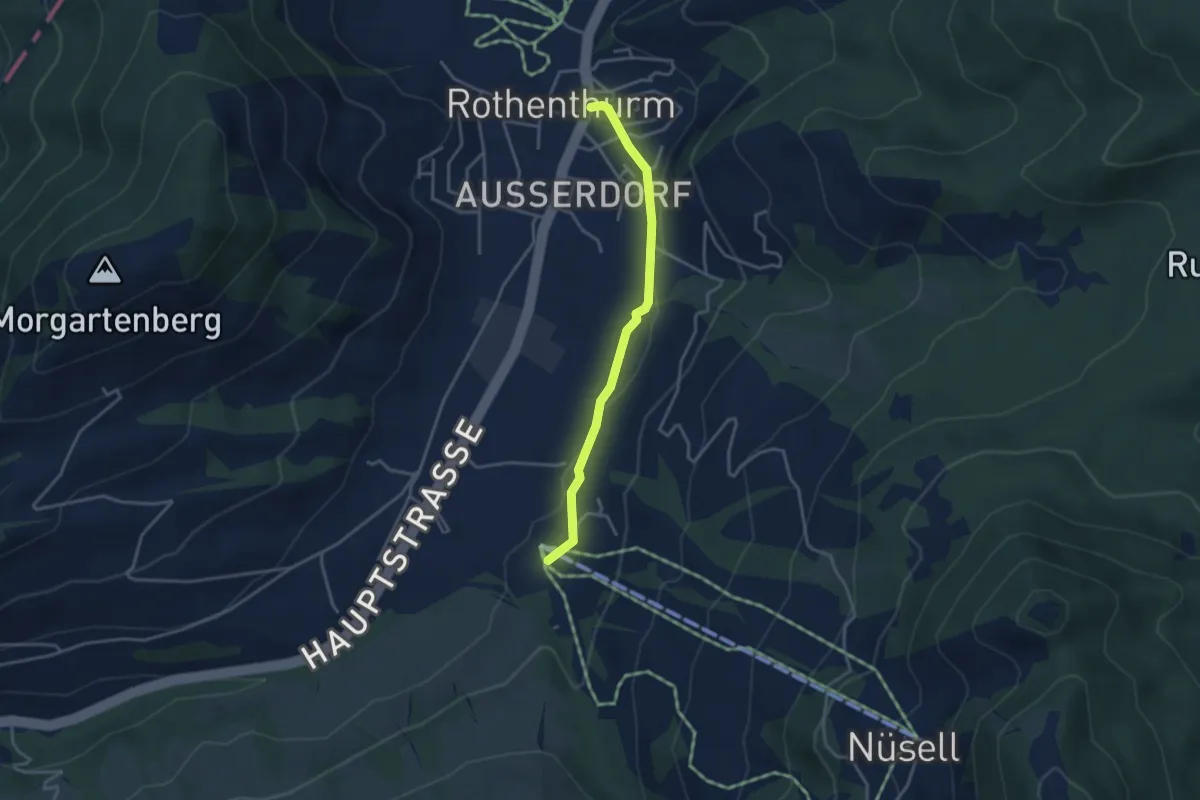
Easy · Trail
Biberegg – Rothenturm
3.3 km · ↑ 57 m · 54 min · 14 km away
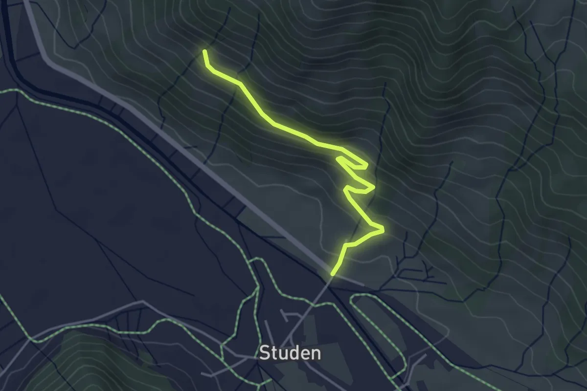
Easy · Trail
Haldeli - Bergli
3.6 km · ↑ 208 m · 1 h 18 min · 14 km away
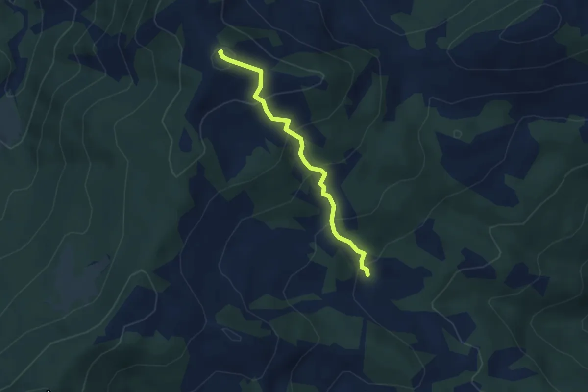
Easy · Summit
Spital - In den Blätzen
3.2 km · ↑ 256 m · 1 h 18 min · 14 km away
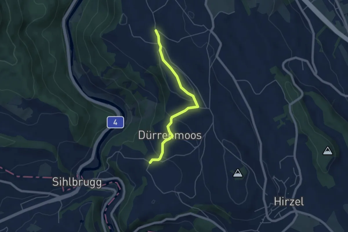
Easy · Trail
Zimmerberg – Tobelmüli
4.3 km · ↑ 140 m · 1 h 20 min · 15 km away
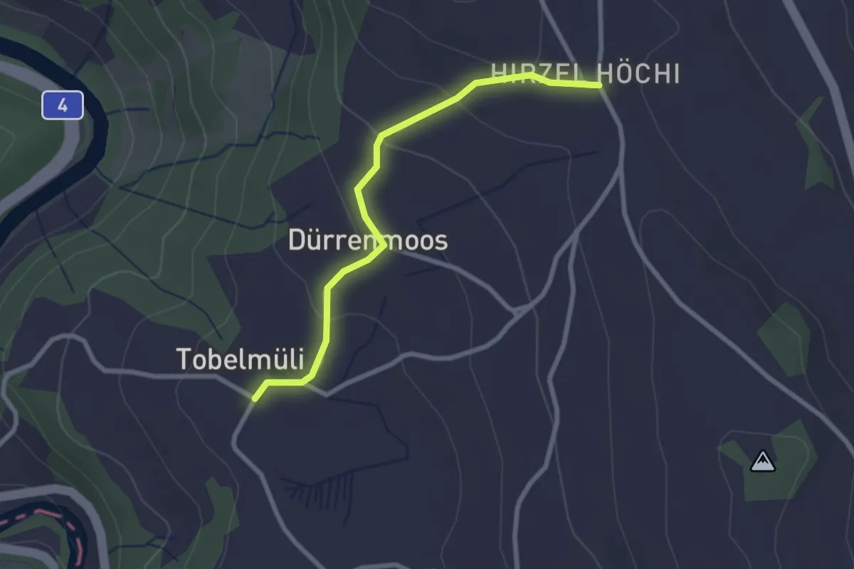
Easy · Trail
Tobelmüli – Höhi
2.4 km · ↑ 94 m · 47 min · 15 km away
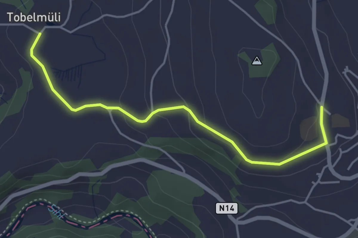
Easy · Trail
Tobelmüli – Hirzel
4.1 km · ↑ 108 m · 1 h 12 min · 15 km away
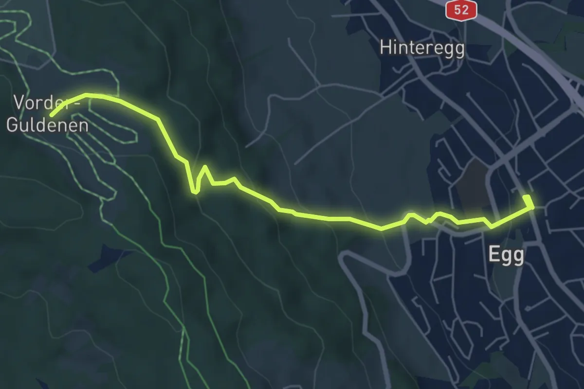
Easy · Trail
Egg – Vorderguldenen
5.6 km · ↑ 246 m · 1 h 52 min · 15 km away
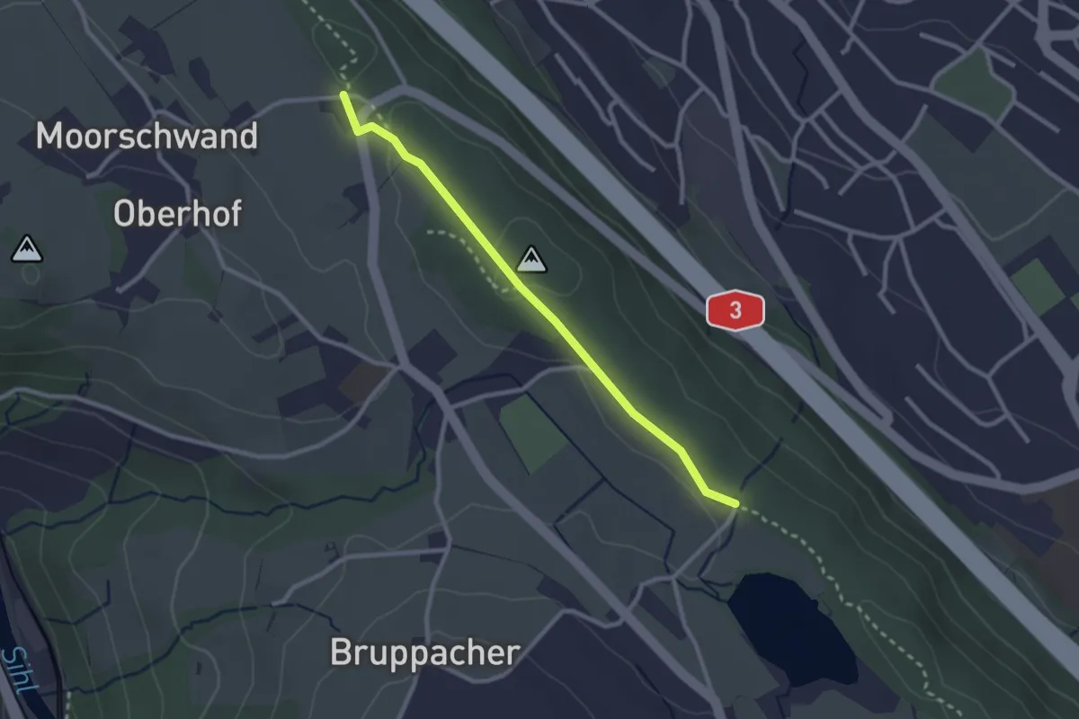
Easy · Trail
Horgenberg – Bergweier
2.5 km · ↑ 32 m · 39 min · 15 km away
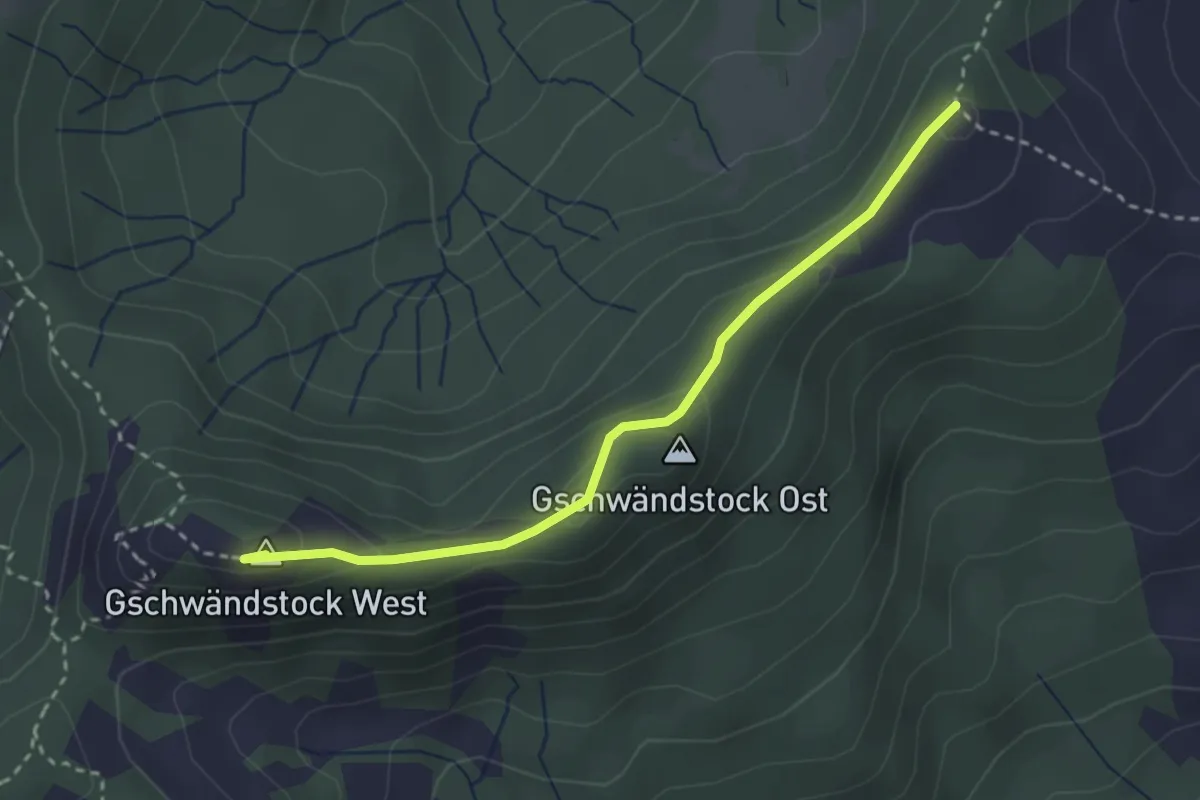
Medium · Summit
Butziflue – Regenegg
2.9 km · ↑ 144 m · 1 h · 15 km away
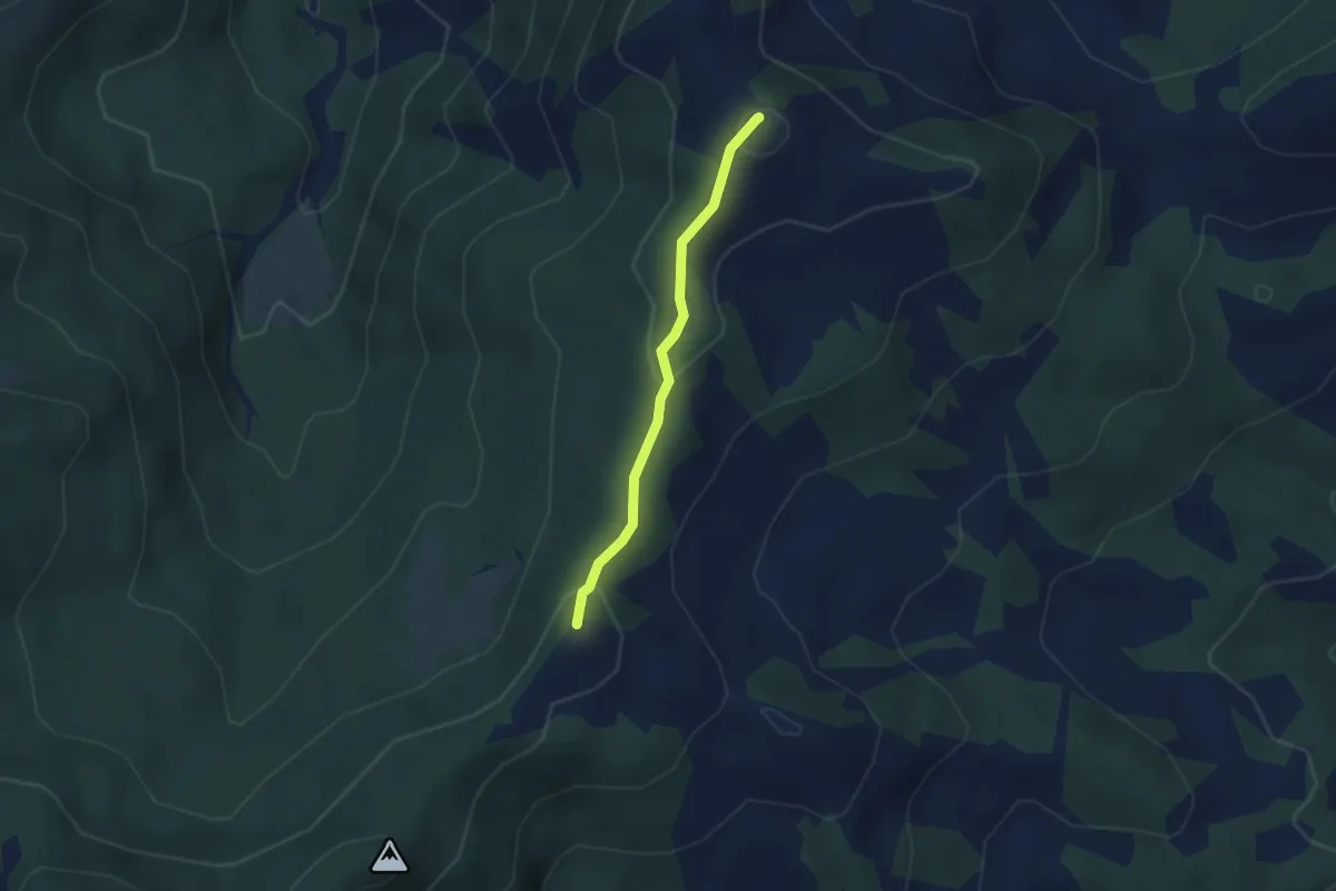
Easy · Summit
Regenegg – Spital
2.6 km · ↑ 100 m · 50 min · 15 km away
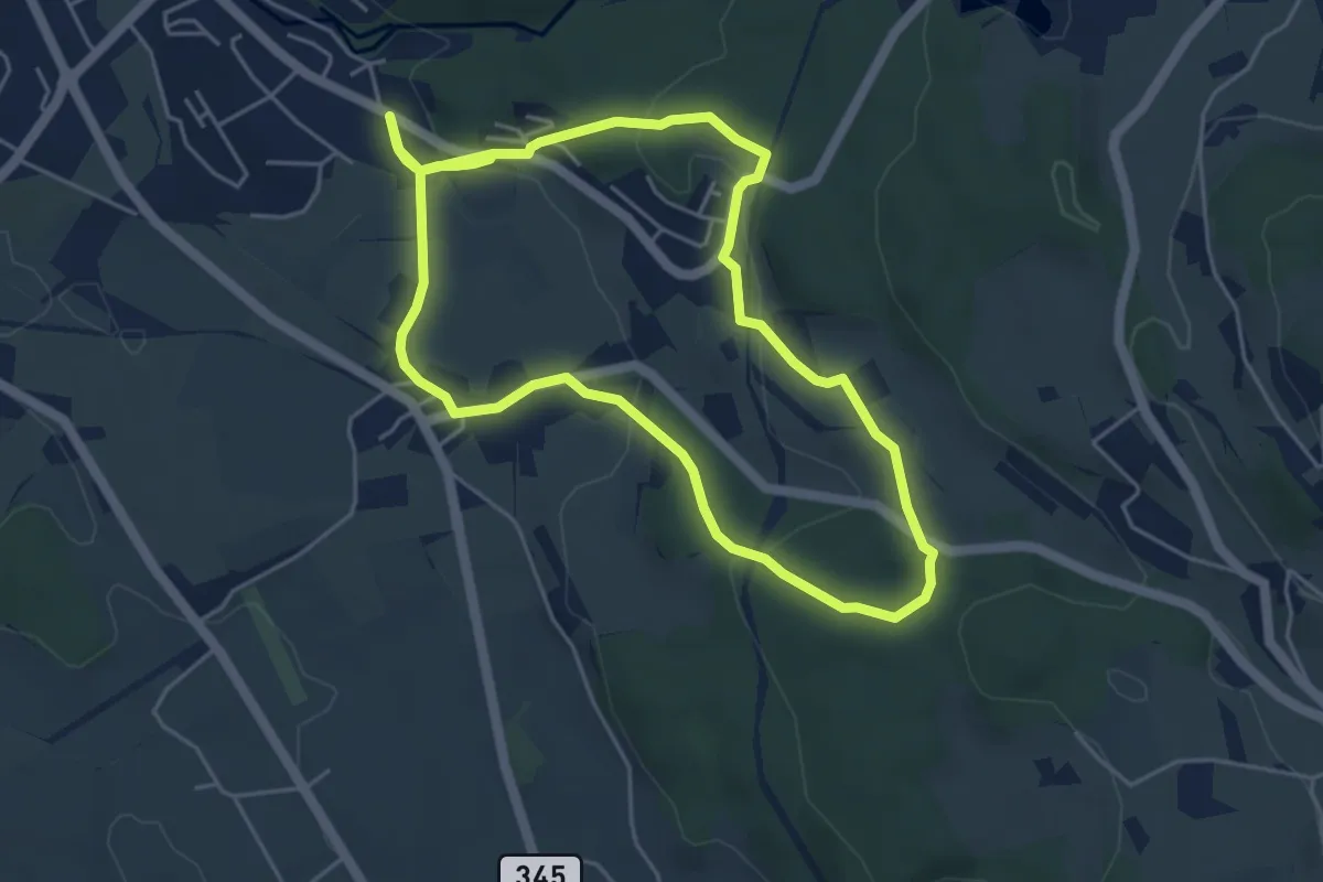
Easy · Trail
Rundweg Emmetschloo
4.6 km · ↑ 157 m · 1 h 29 min · 15 km away
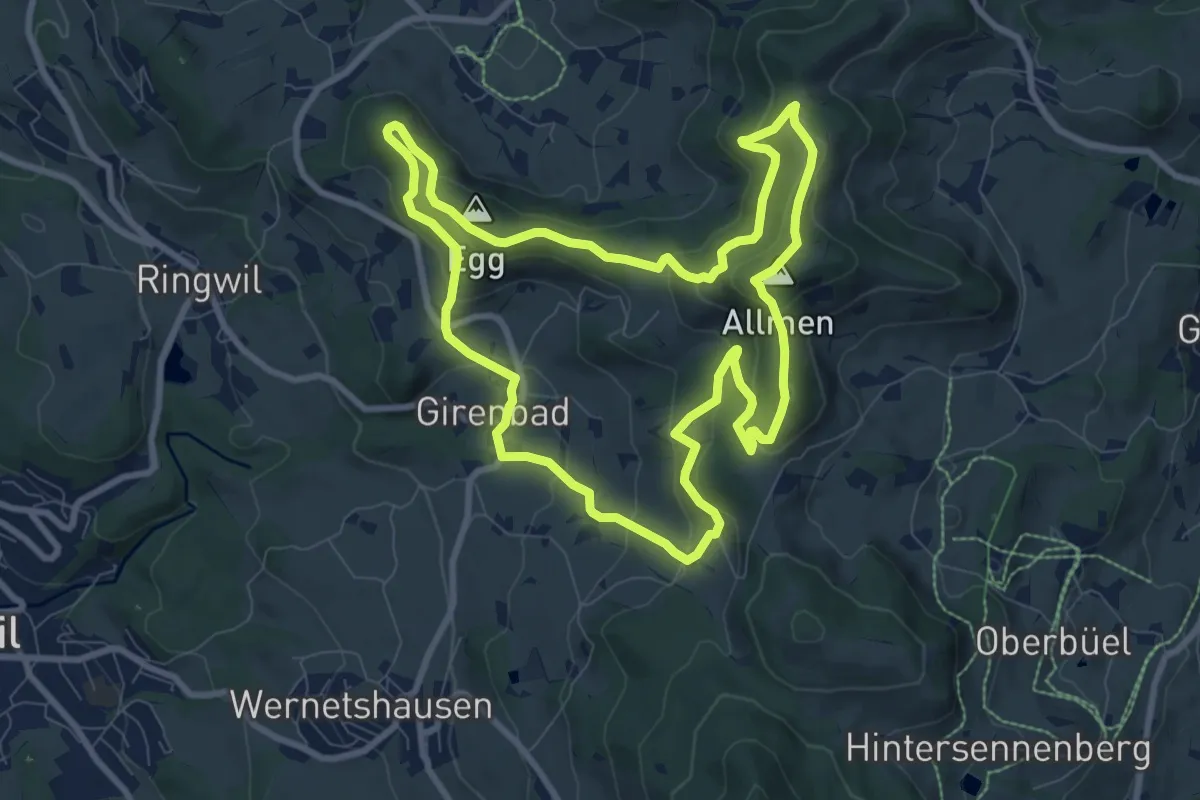
Medium · Summit
Rundweg 4-Quellen
8.9 km · ↑ 424 m · 3 h 9 min · 15 km away
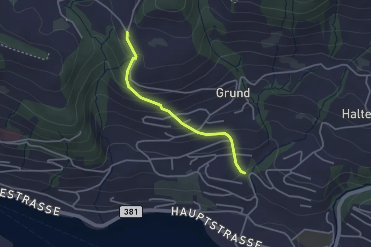
Easy · Trail
Hinterschneit - Gruben
2.5 km · ↑ 154 m · 55 min · 15 km away
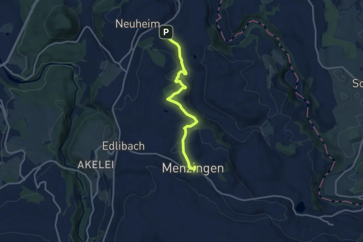
Medium · Trail
Menzingen - Sarbach
8.3 km · ↑ 190 m · 2 h 22 min · 15 km away
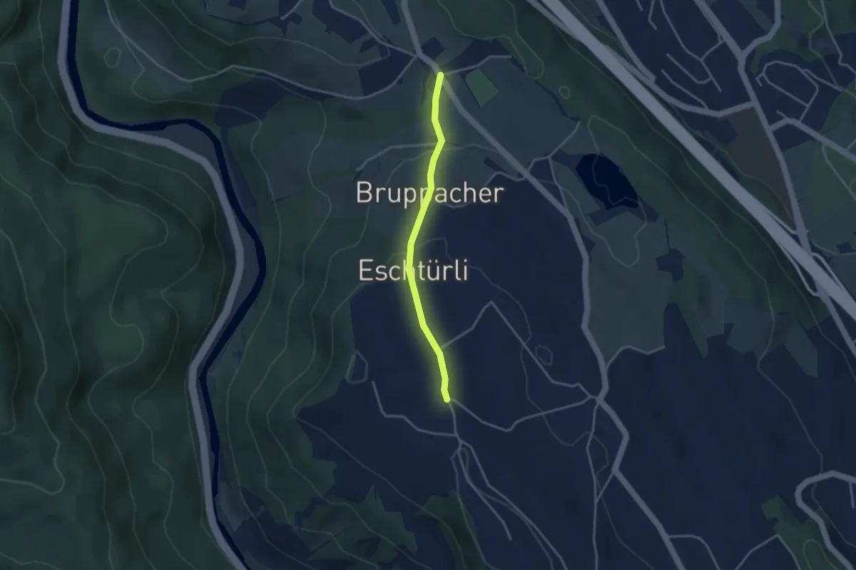
Easy · Trail
Wüeribach – Zimmerberg
3.0 km · ↑ 100 m · 55 min · 15 km away
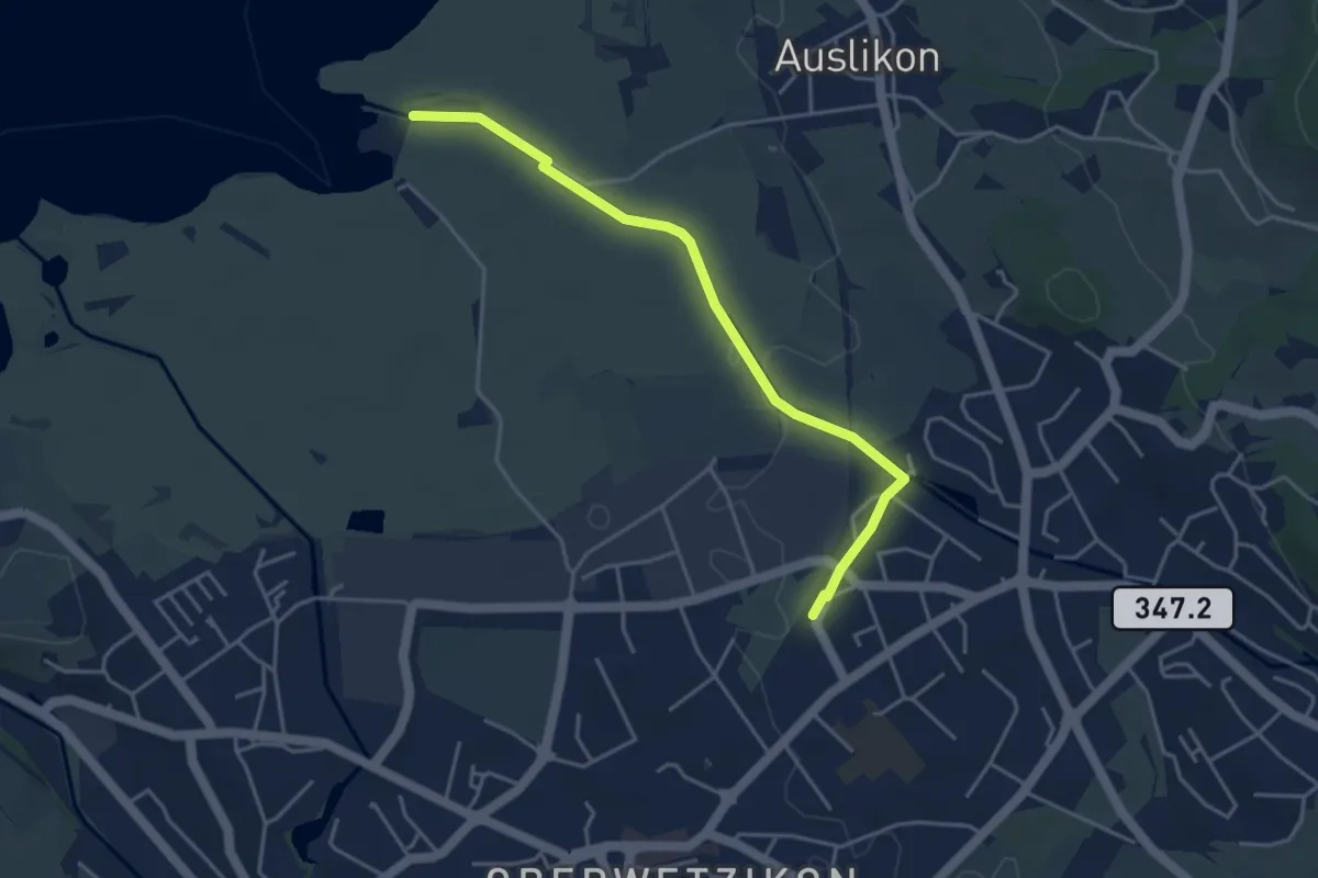
Easy · Trail
Strandbad Auslikon – Kempten
4.1 km · ↑ 17 m · 1 h 1 min · 15 km away
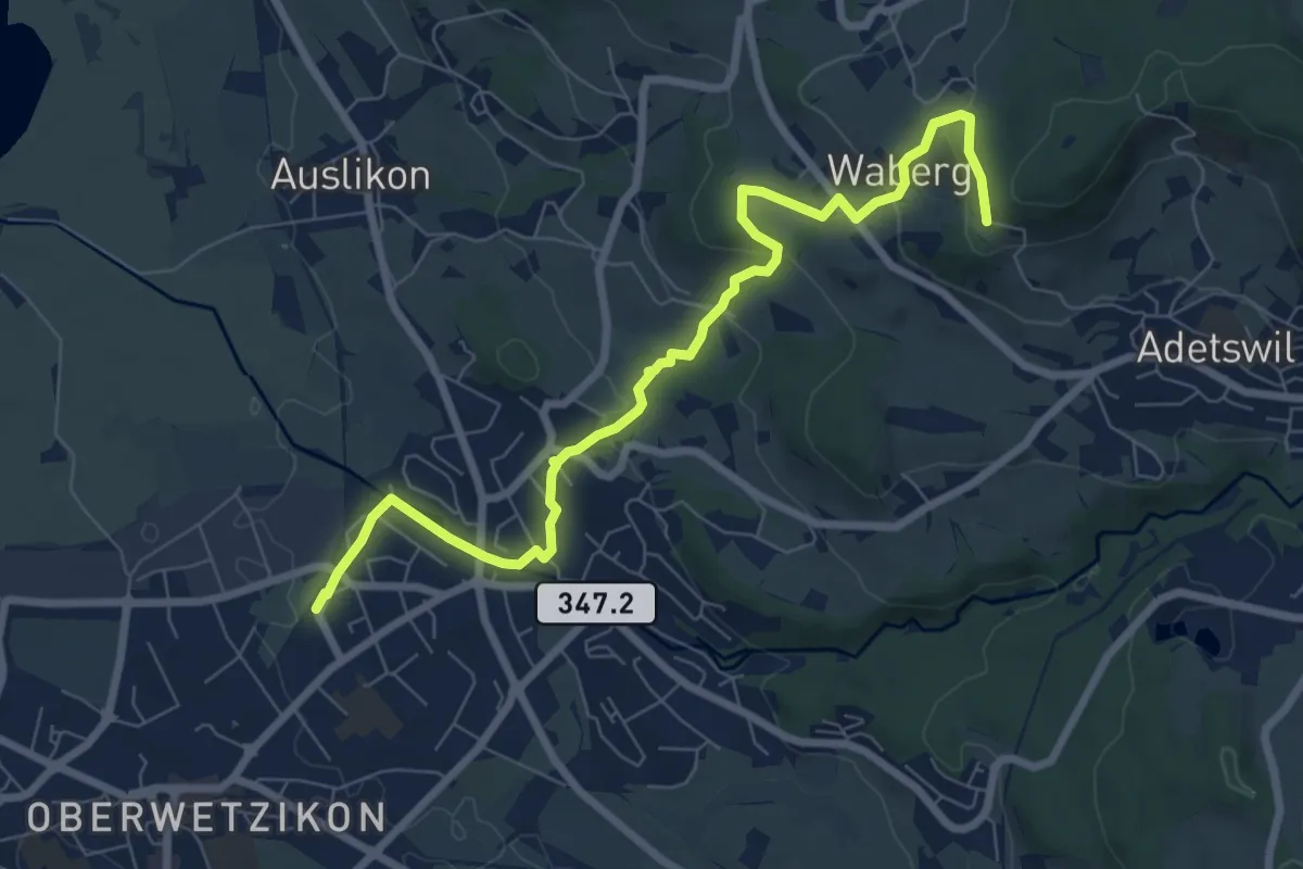
Medium · Trail
Kempten - Rosinli
8.2 km · ↑ 273 m · 2 h 32 min · 15 km away
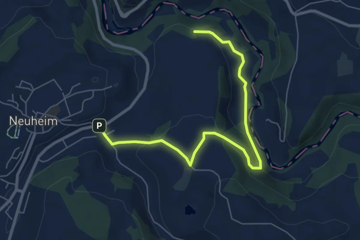
Easy · Trail
Sarbach - Sennweid
5.9 km · ↑ 190 m · 1 h 48 min · 15 km away
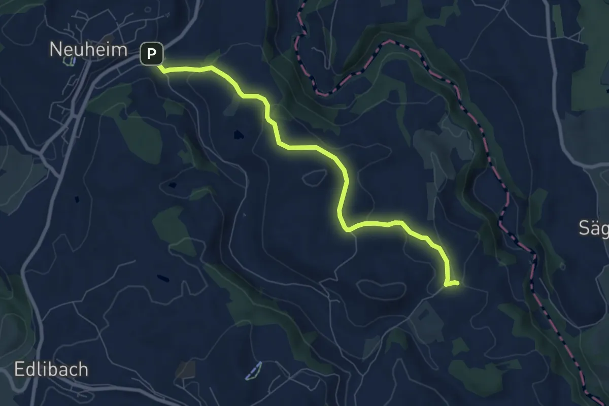
Easy · Trail
Sarbach - Schwand
7.4 km · ↑ 156 m · 2 h 5 min · 15 km away
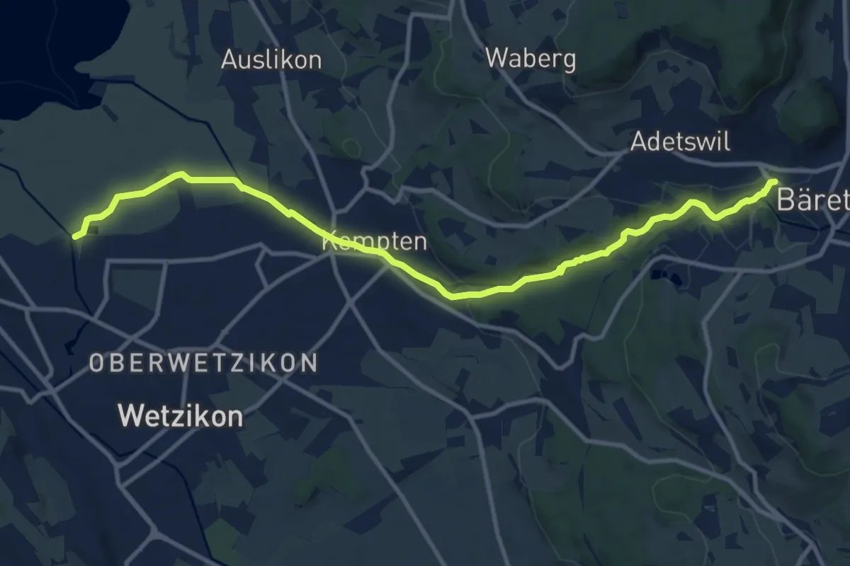
Medium · Trail
Industriepfad Zürcher Oberland
11.3 km · ↑ 163 m · 3 h 2 min · 15 km away
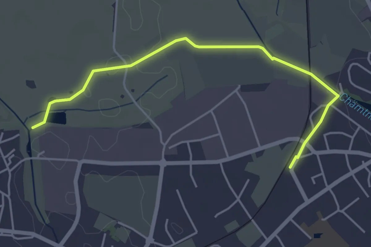
Easy · Trail
Robenhausen - Kempten
4.3 km · ↑ 22 m · 1 h 4 min · 15 km away
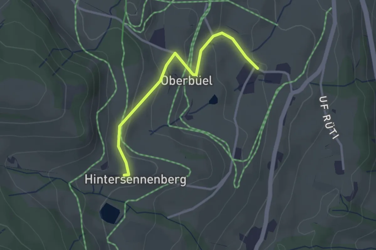
Easy · Trail
Büel – Hinterer Sennenberg
2.6 km · ↑ 98 m · 49 min · 15 km away
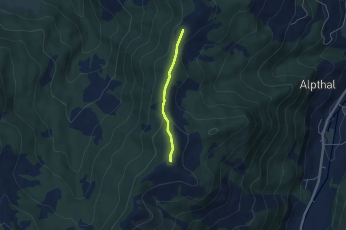
Medium · Summit
Chli Tändli – Brüschrainhöchi
2.9 km · ↑ 133 m · 58 min · 15 km away
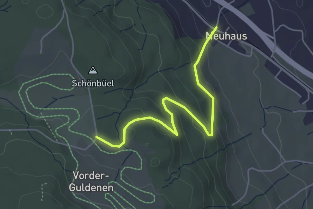
Easy · Trail
Neuhaus – Gerstenchrütz
4.2 km · ↑ 179 m · 1 h 22 min · 15 km away
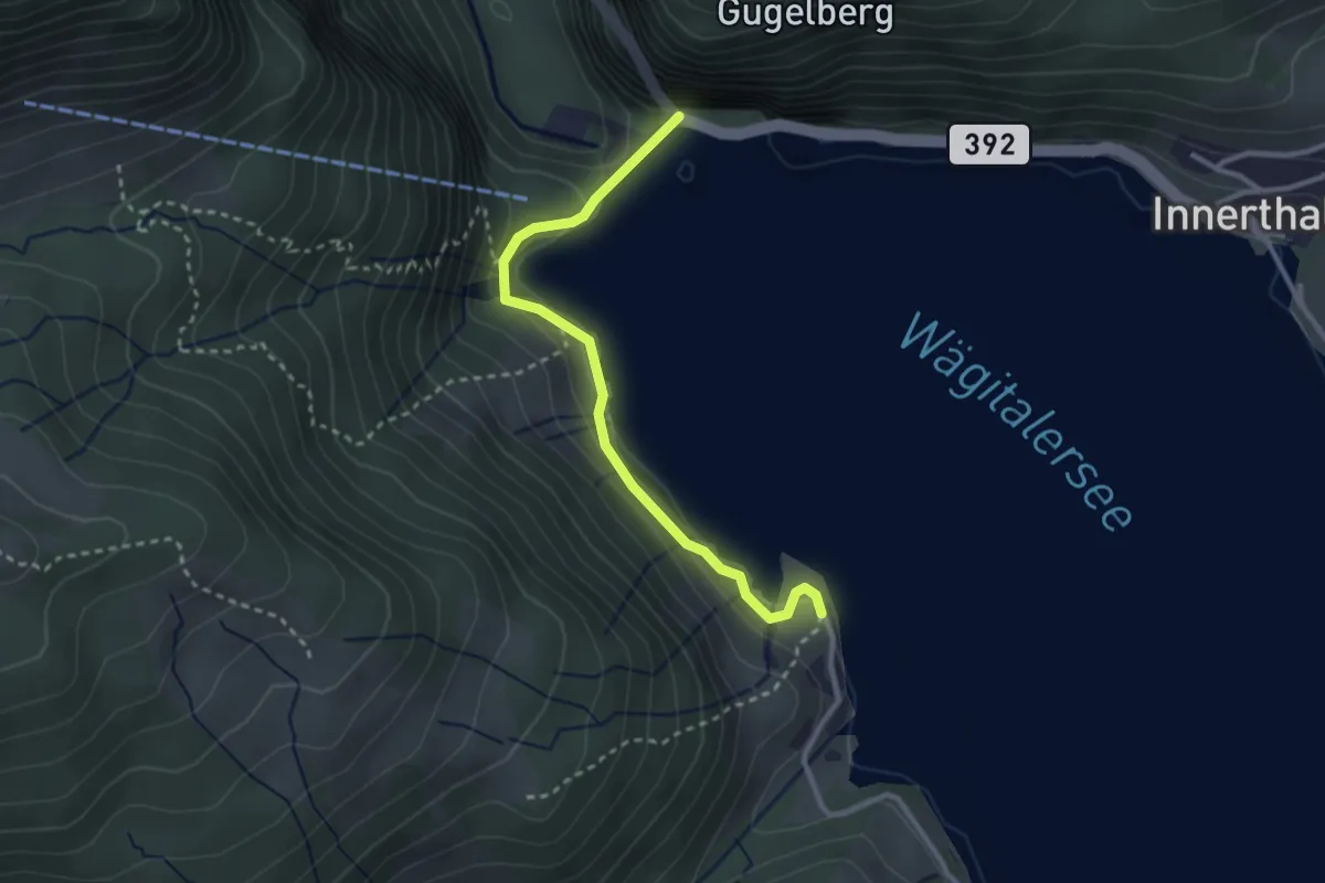
Easy · Trail
Staumauer – Brandhaltli
2.8 km · ↑ 97 m · 53 min · 15 km away
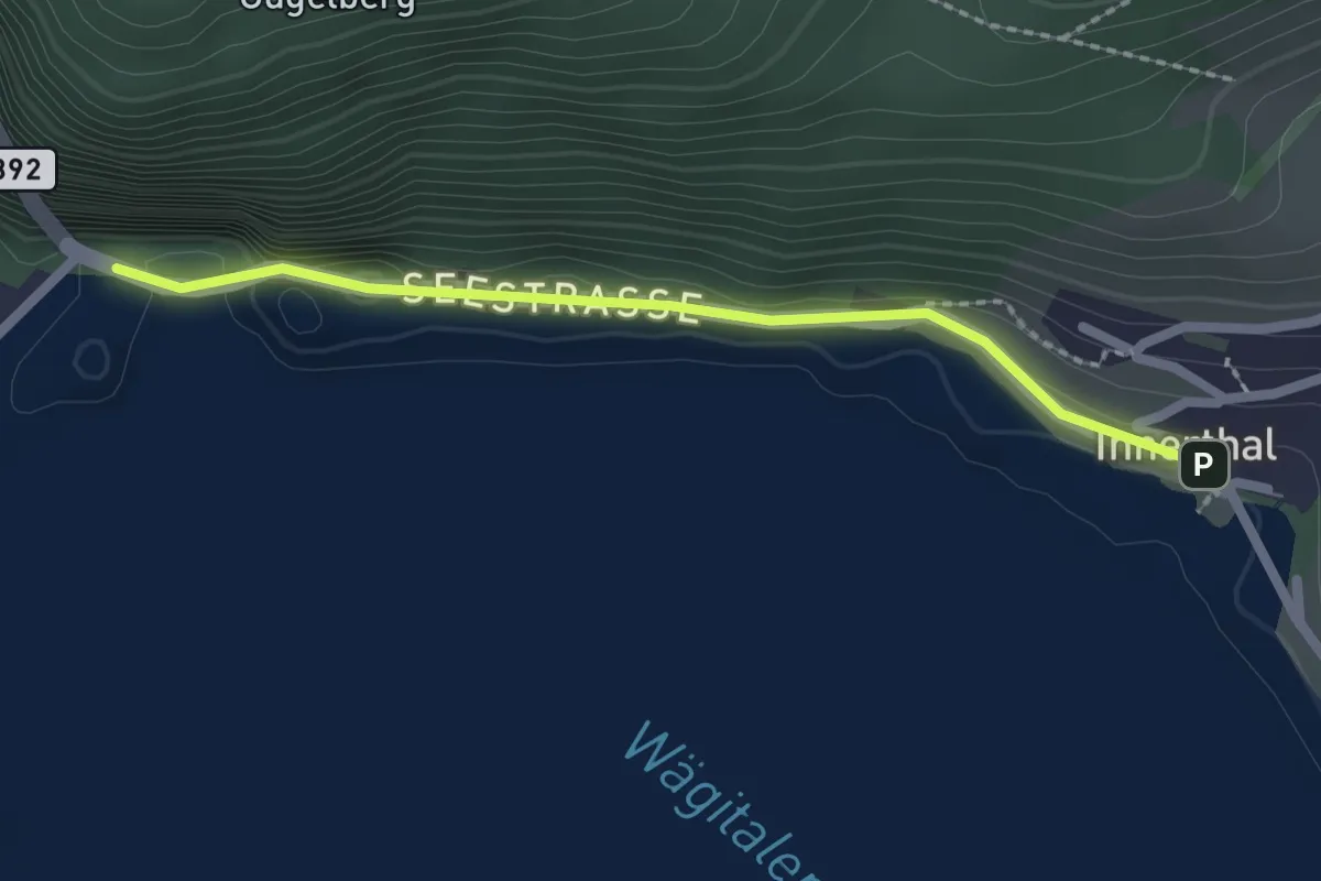
Easy · Trail
Innerthal - Staumauer
2.0 km · ↑ 46 m · 35 min · 15 km away
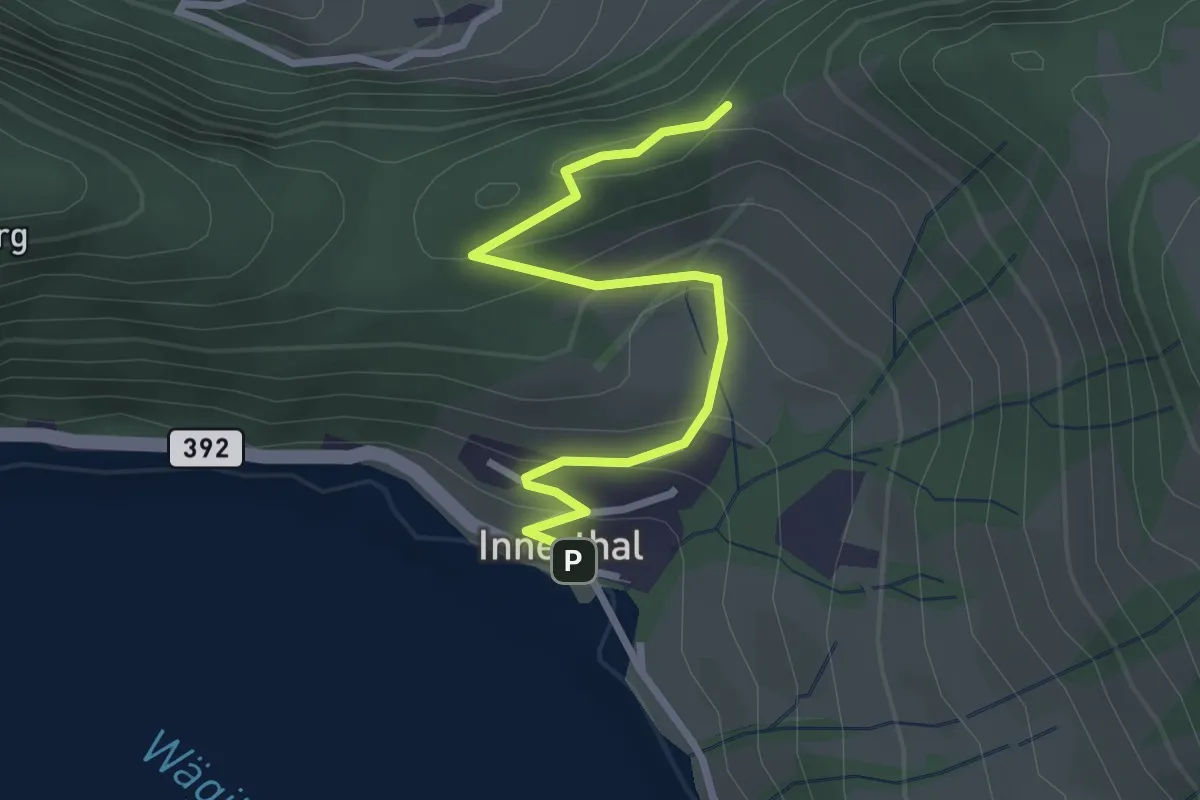
Easy · Trail
Innerthal - Ober Tritt
2.8 km · ↑ 179 m · 1 h 3 min · 15 km away
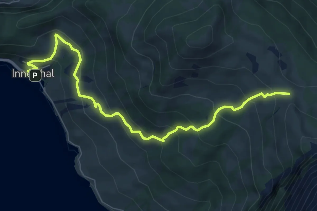
Medium · Trail
Innerthal – Schwarzenegghöchi
7.4 km · ↑ 522 m · 2 h 52 min · 15 km away