Trails near Plan-les-Ouates
71 hikes starting within 15 km, nearest first.
Nearest first, page 2 of 2
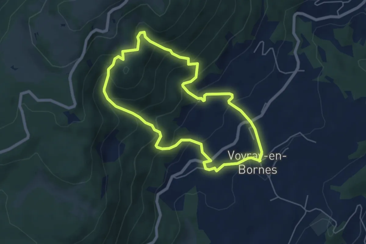
Medium · Trail
Entre alpages et forêts
4.6 km · ↑ 354 m · 1 h 55 min · 12 km away
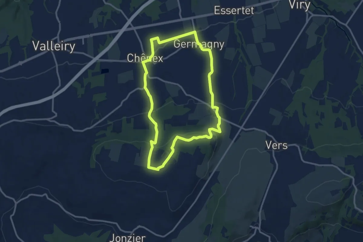
Medium · Trail
Paysages et récoltes
9.2 km · ↑ 238 m · 2 h 49 min · 12 km away
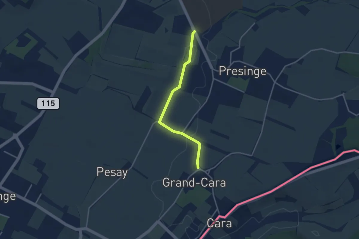
Easy · Trail
Grand Cara - Presinge
2.6 km · ↑ 17 m · 39 min · 12 km away
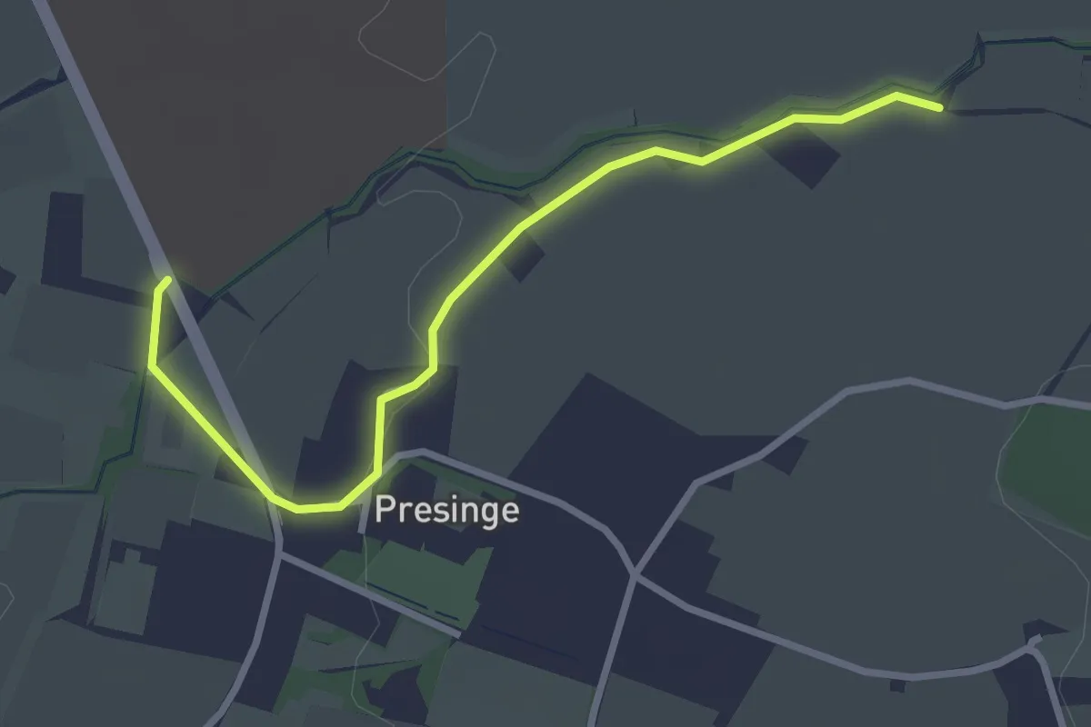
Easy · Trail
Presinge - Les Blessonniers
3.0 km · ↑ 22 m · 45 min · 12 km away
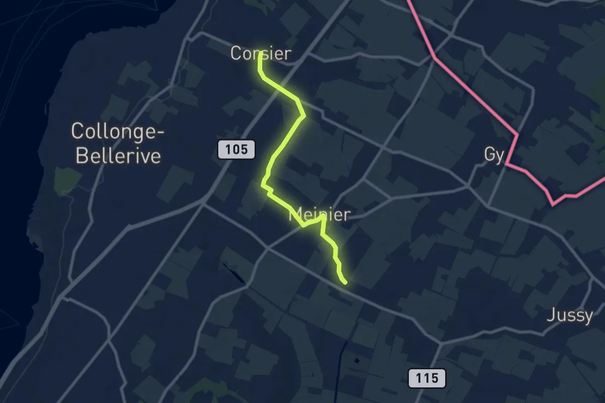
Easy · Trail
Corsier - Compois
7.1 km · ↑ 31 m · 1 h 45 min · 12 km away
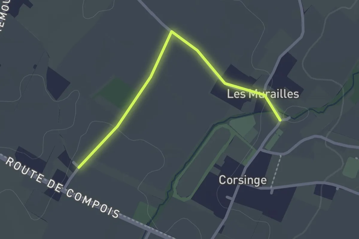
Easy · Trail
Corsinge - Compois
2.1 km · ↑ 8 m · 31 min · 12 km away
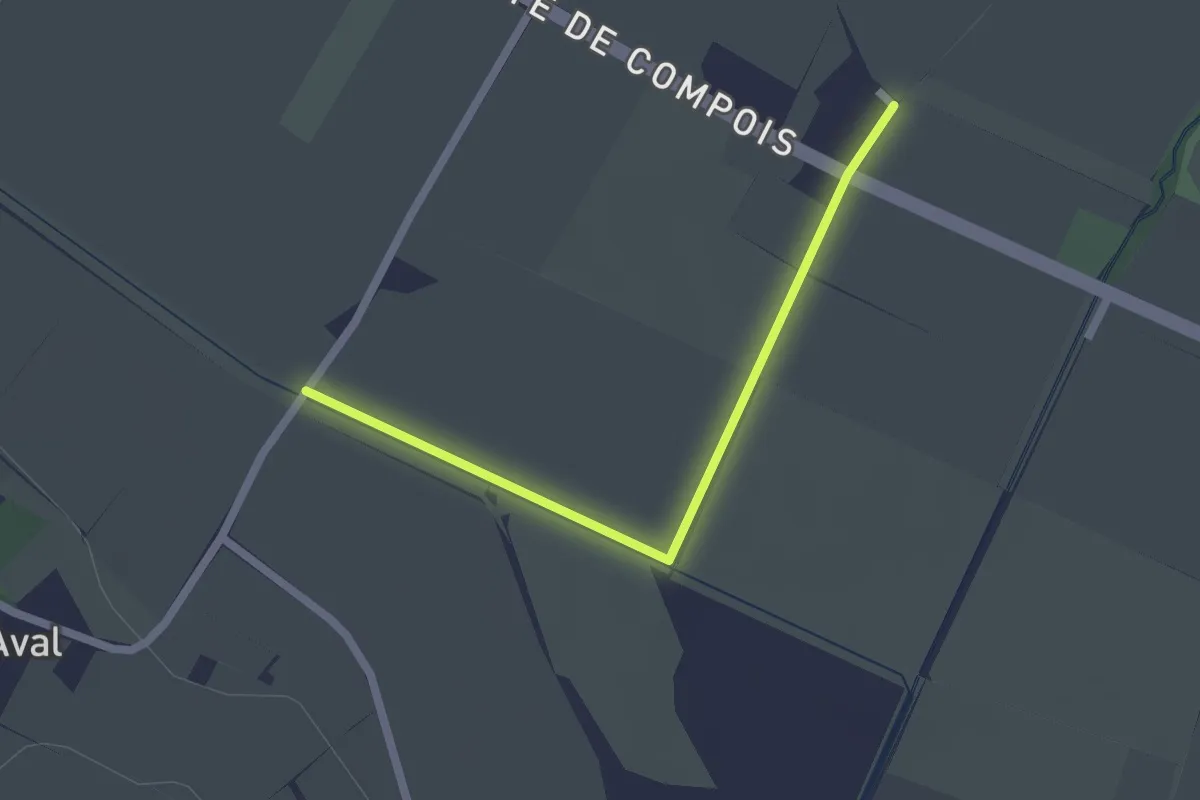
Easy · Trail
Pré de la Donnaz - Compois
2.0 km · ↑ 4 m · 29 min · 12 km away
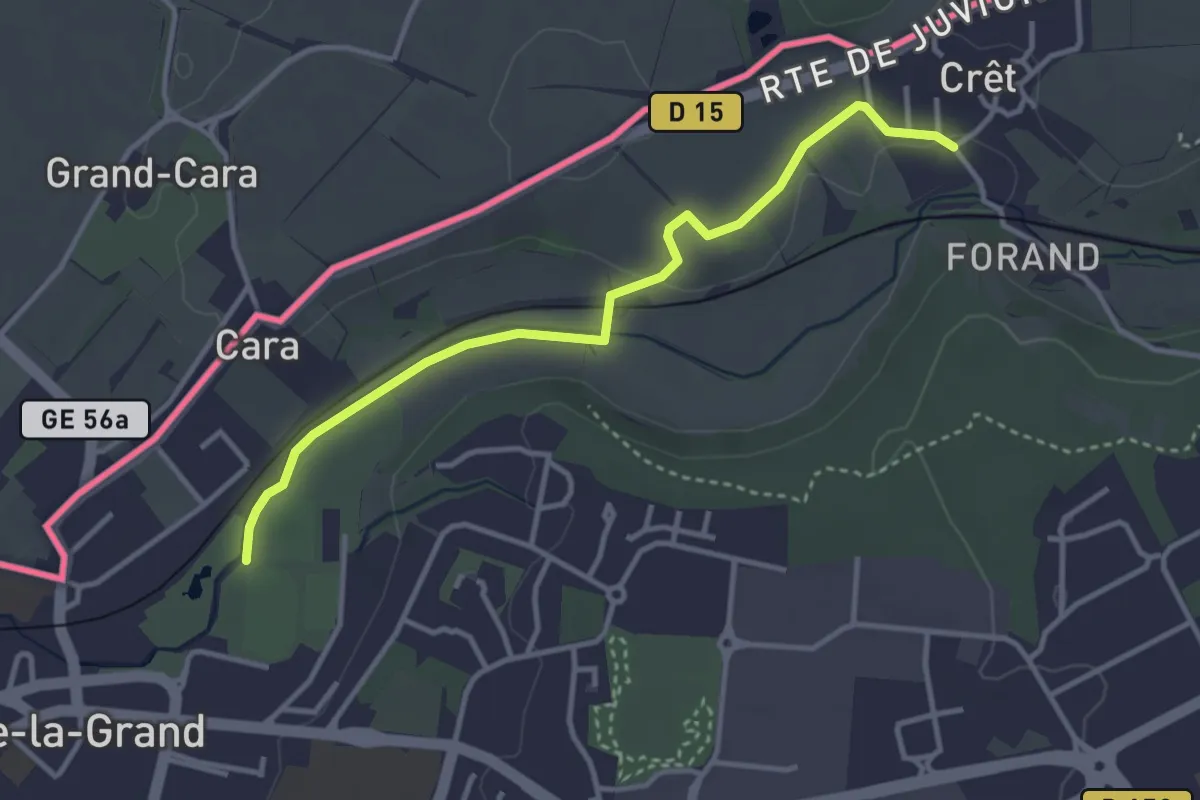
Easy · Trail
Chemin du Foron
3.6 km · ↑ 32 m · 54 min · 13 km away
Easy · Trail
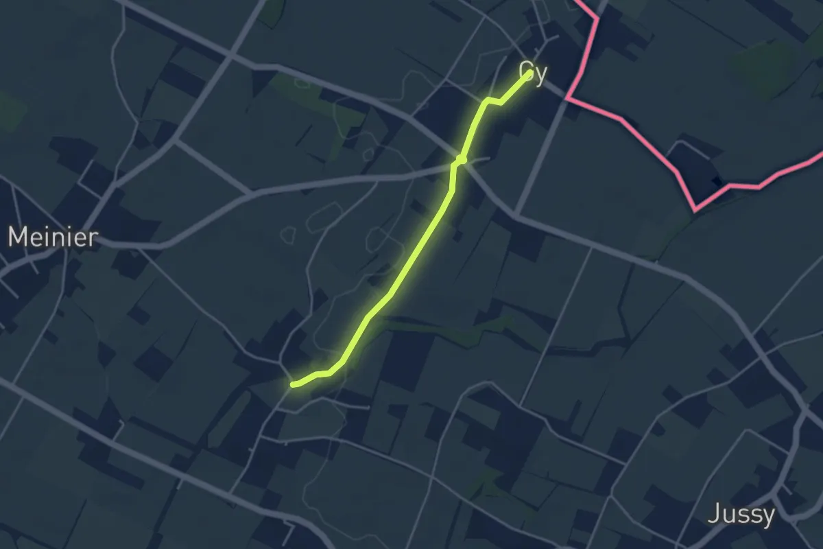
Corsinge - Gy
3.5 km · ↑ 14 m · 51 min · 13 km away
Easy · Trail
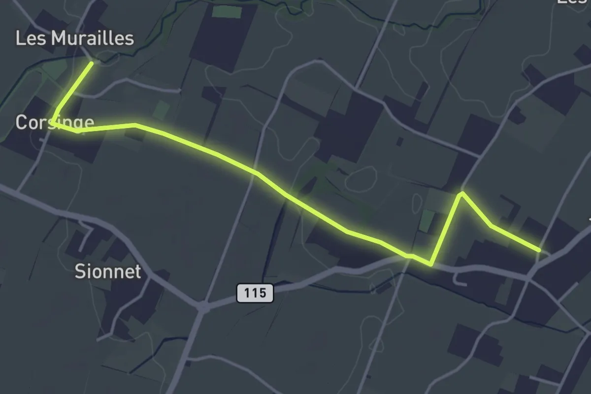
Corsinge - Jussy
4.5 km · ↑ 42 m · 1 h 10 min · 13 km away
Easy · Trail
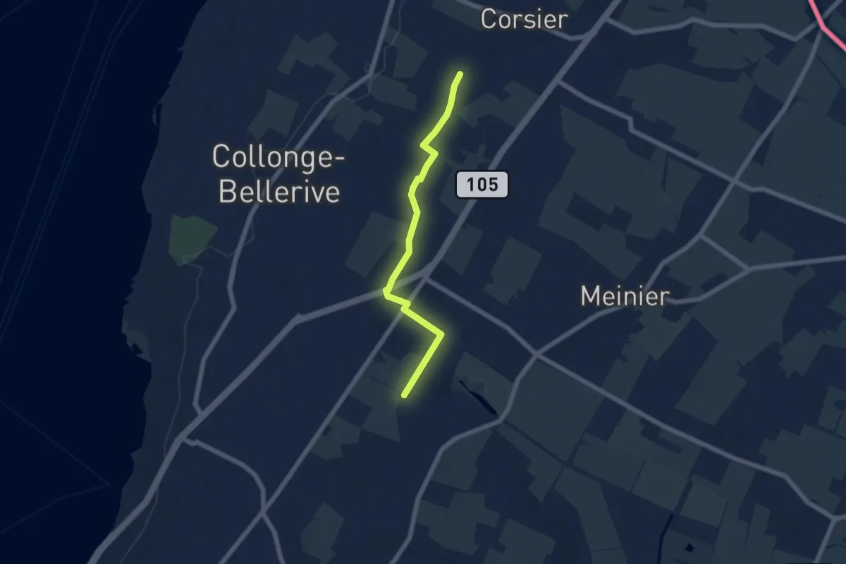
Rouelbeau - Les Bouchilles
5.1 km · ↑ 13 m · 1 h 14 min · 13 km away
Easy · Trail
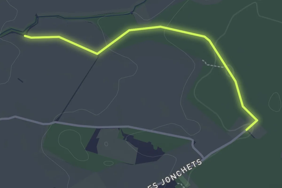
Les Blessonniers - Les Bois d'Ornaz
2.7 km · ↑ 33 m · 42 min · 13 km away
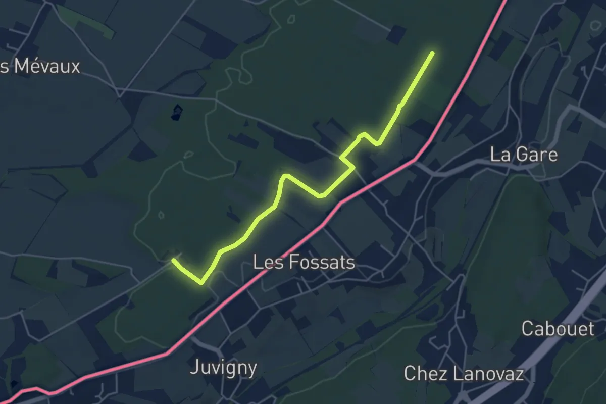
Easy · Trail
Les Bois d'Ornaz - Les Grands Bois
4.8 km · ↑ 15 m · 1 h 11 min · 14 km away
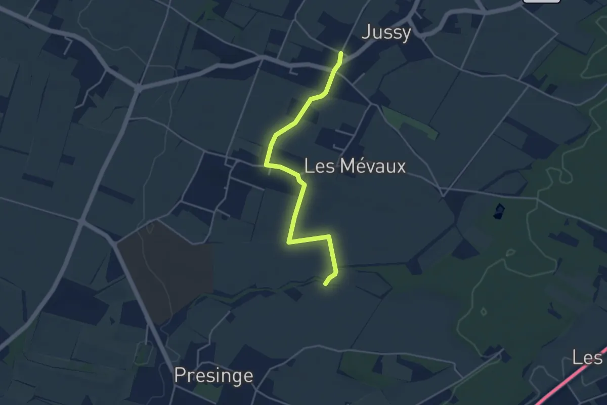
Easy · Trail
Jussy l'Eglise - Les Blessonniers
3.9 km · ↑ 21 m · 58 min · 14 km away
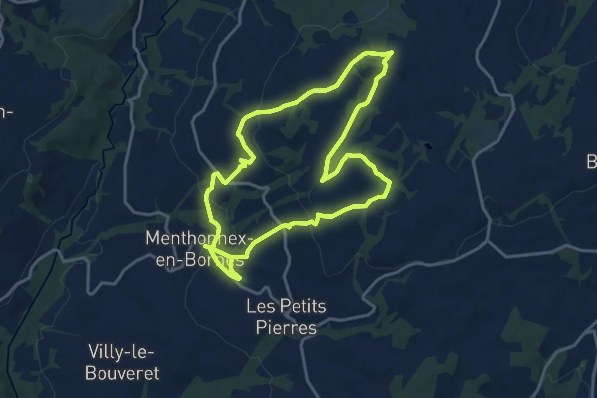
Demanding · Trail
A la découverte du Plateau des Bornes
18.0 km · ↑ 413 m · 5 h 9 min · 14 km away
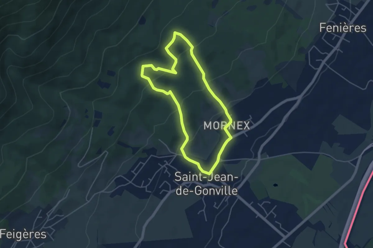
Easy · Trail
Sentier de Découverte de Mornex
4.5 km · ↑ 213 m · 1 h 35 min · 14 km away
Easy · Trail
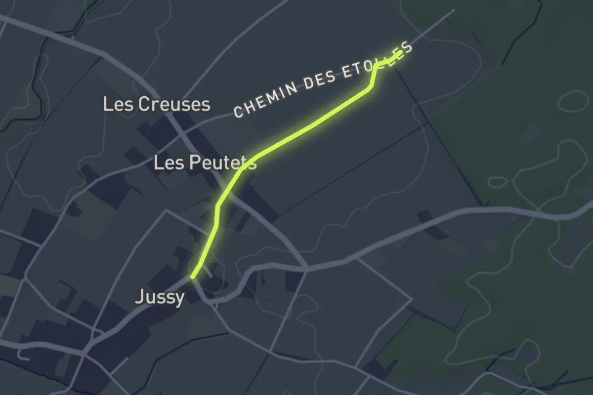
Jussy le Château - Les Longerayes
2.5 km · ↑ 4 m · 36 min · 14 km away
Easy · Trail
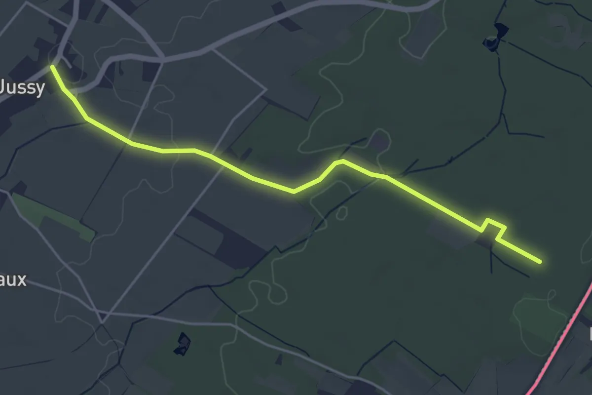
Jussy le Château - Les Grands Bois
4.7 km · ↑ 37 m · 1 h 11 min · 14 km away
Medium · Trail
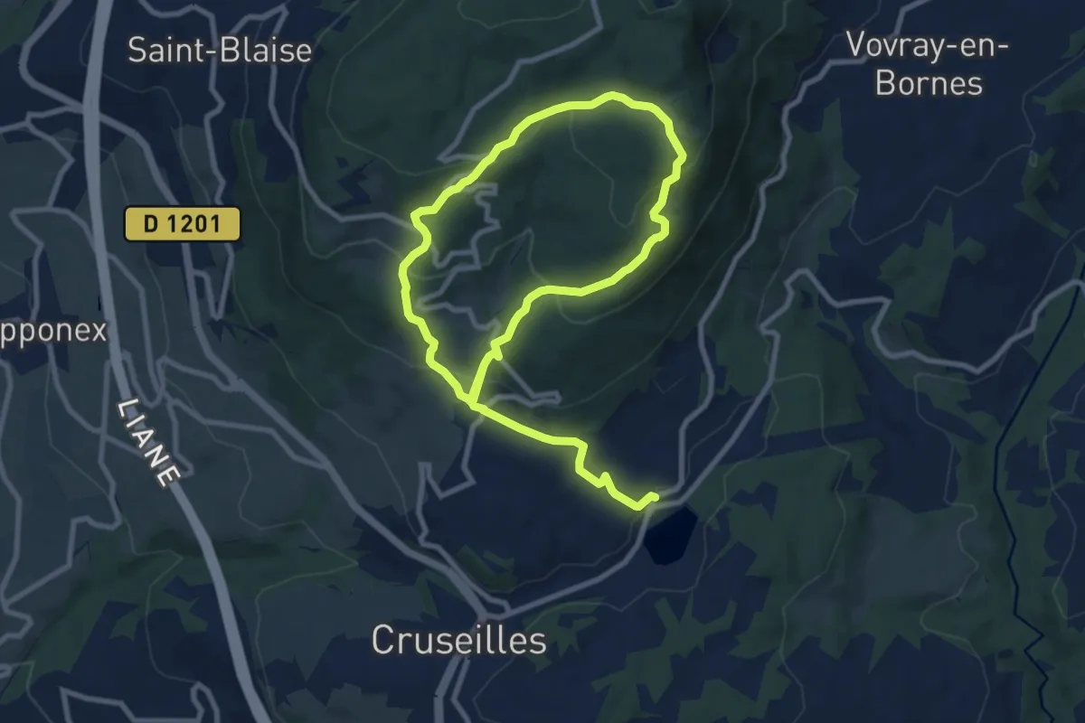
Alpage de l'Iselet
14.7 km · ↑ 636 m · 4 h 51 min · 14 km away
Easy · Trail
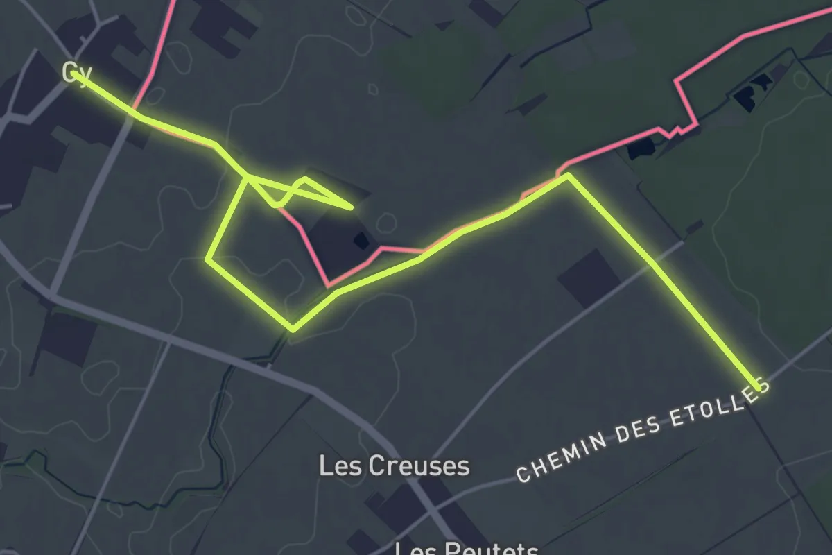
Gy - Les Longerayes
6.5 km · ↑ 17 m · 1 h 34 min · 14 km away
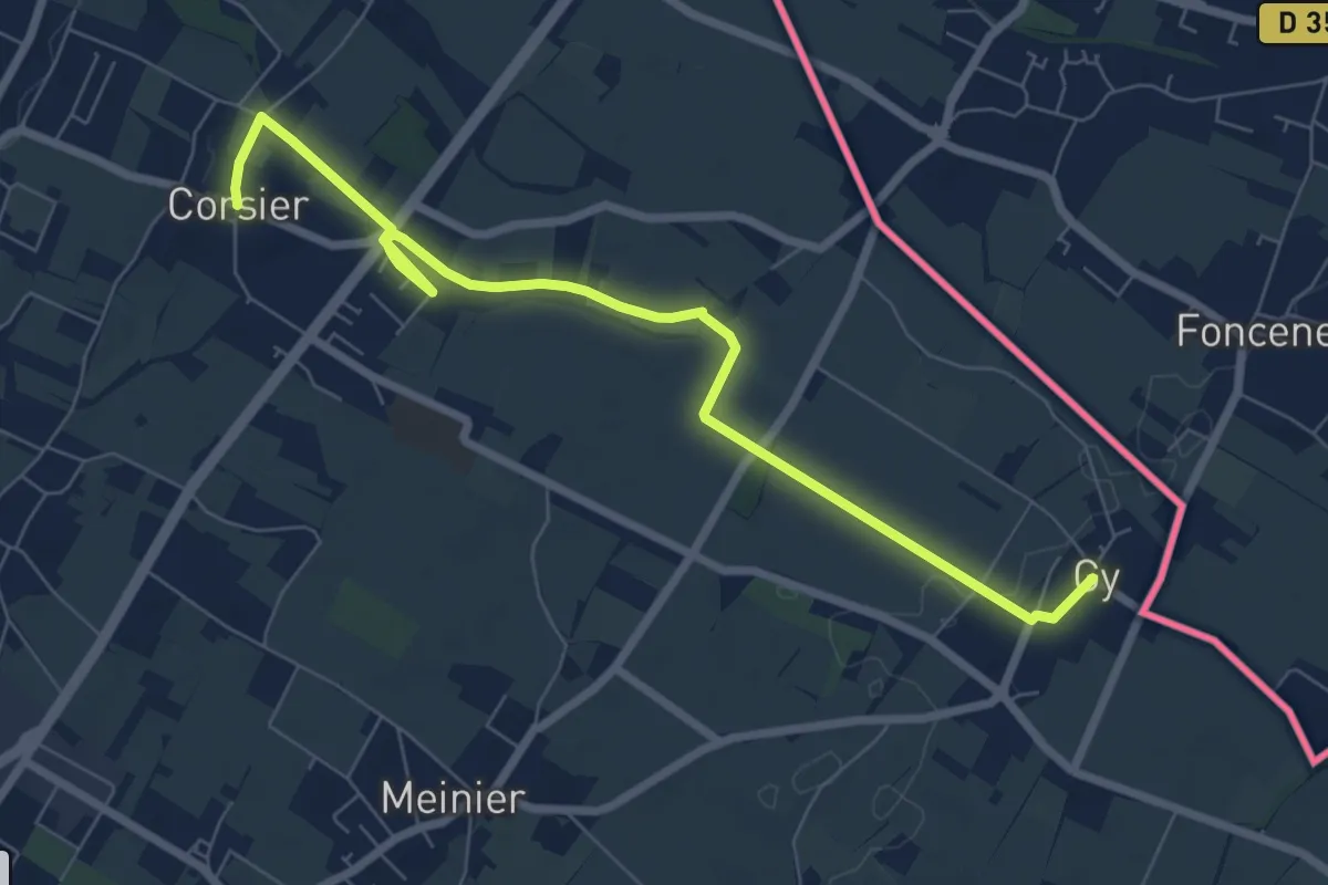
Medium · Trail
Corsier - Gy
8.1 km · ↑ 40 m · 2 h · 14 km away
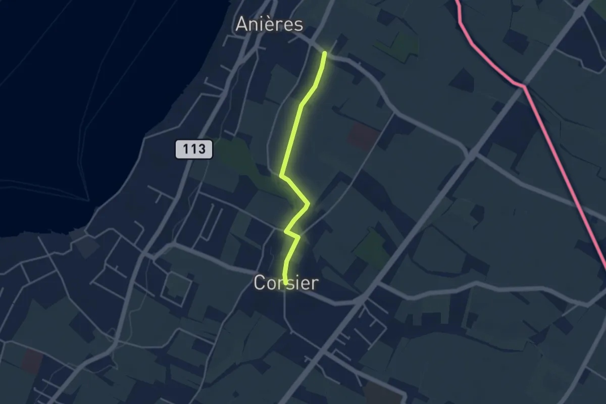
Easy · Trail
Corsier - Anières
3.1 km · ↑ 9 m · 45 min · 15 km away
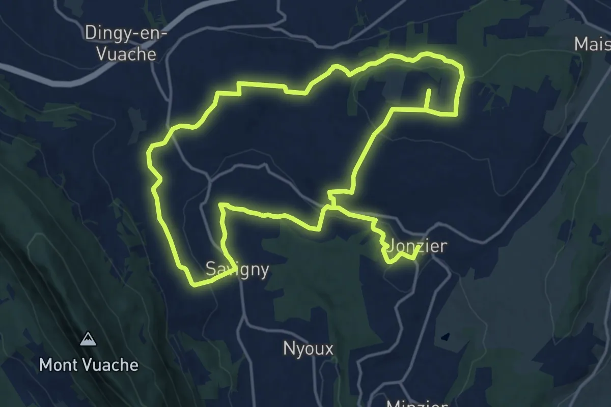
Medium · Trail
Sentier des Morennes
14.4 km · ↑ 292 m · 4 h 14 min · 15 km away