Trails near Rapperswil
547 hikes starting within 15 km, nearest first.
Nearest first, page 12 of 12
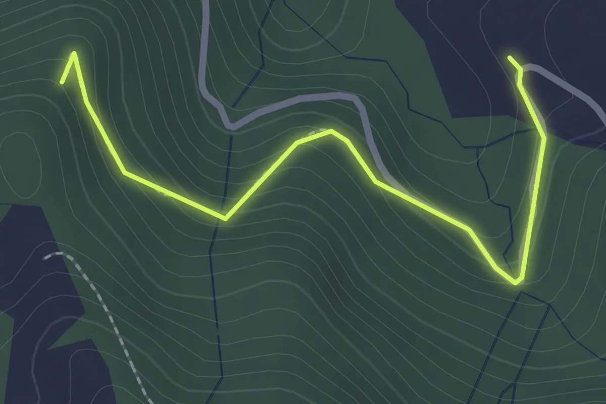
Easy · Trail
Sparenweid - Widenwald
2.2 km · ↑ 151 m · 51 min · 15 km away
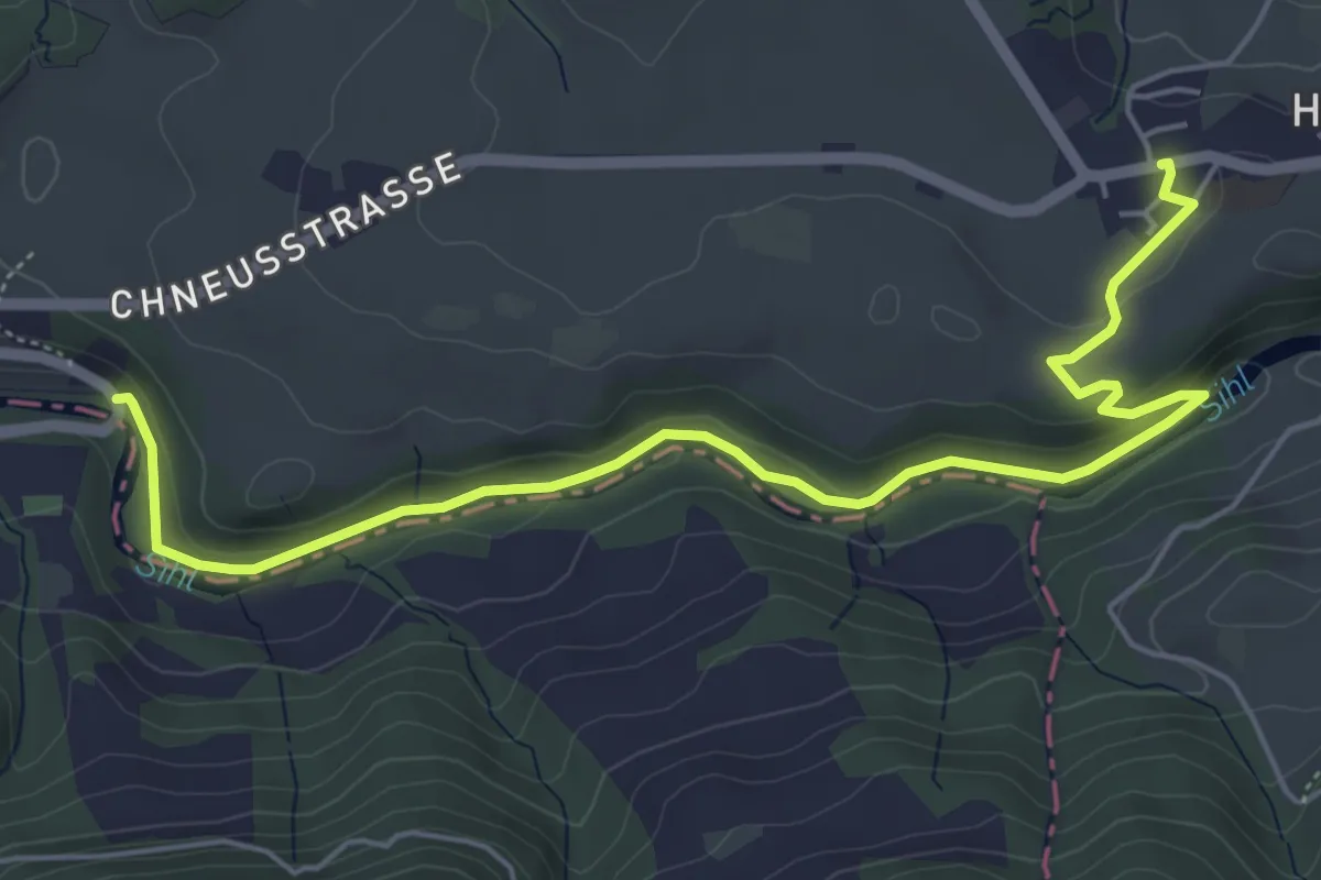
Easy · Trail
Hütten - Finsterseebrugg
6.3 km · ↑ 160 m · 1 h 51 min · 15 km away
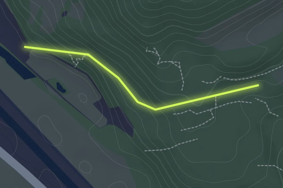
Easy · Trail
Mösli – Nesslenboden
2.0 km · ↑ 90 m · 40 min · 15 km away
Easy · Trail
Greit Höhe - Bellevue
2.4 km · ↑ 180 m · 58 min · 15 km away
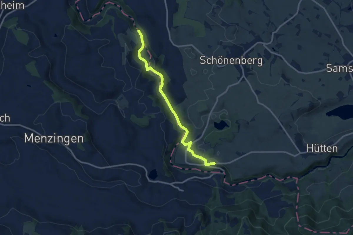
Medium · Trail
Sihlsprung-Finsterseehalden
8.4 km · ↑ 241 m · 2 h 31 min · 15 km away
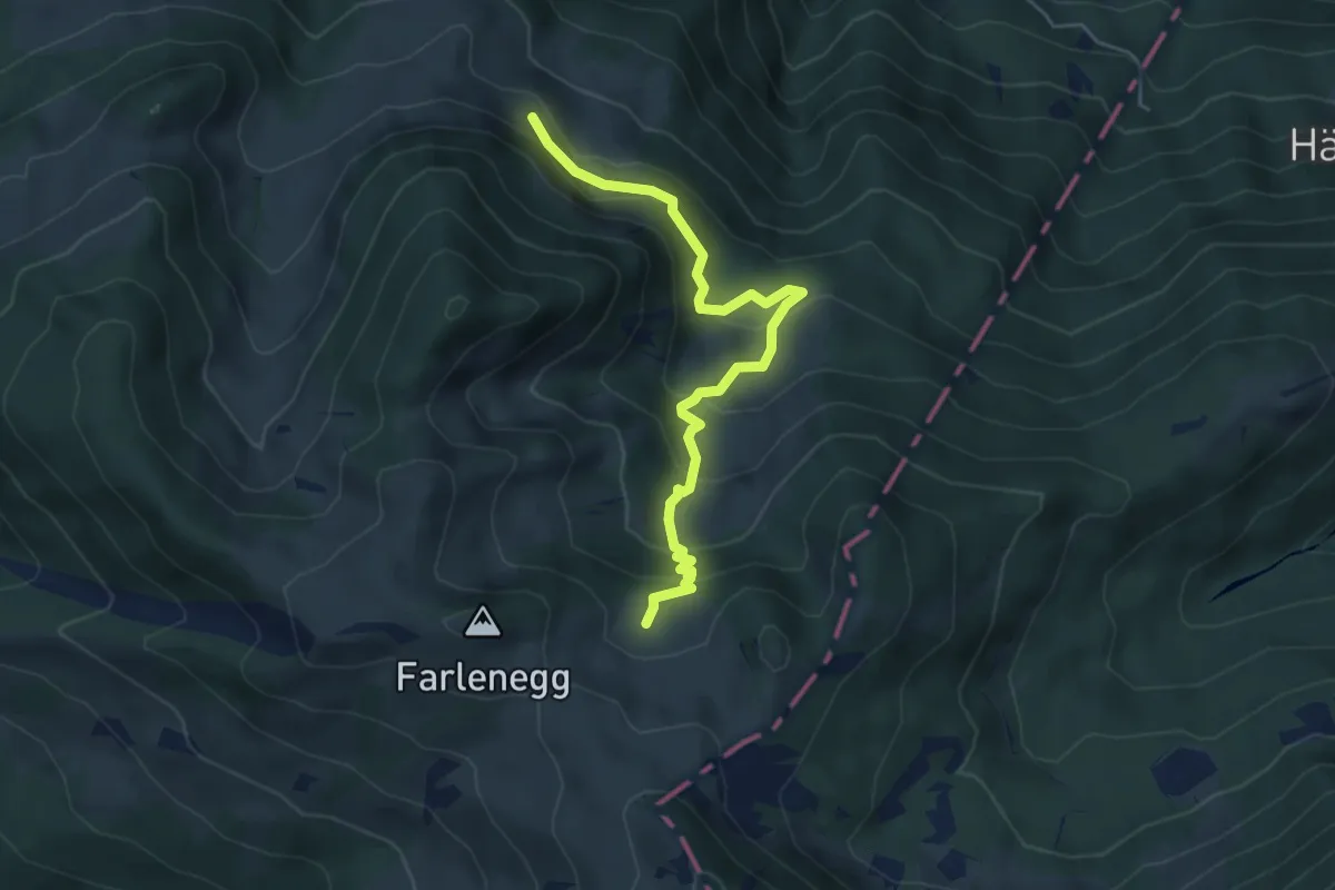
Medium · Trail
Au – Lachen (Alp)
5.2 km · ↑ 374 m · 2 h 2 min · 15 km away
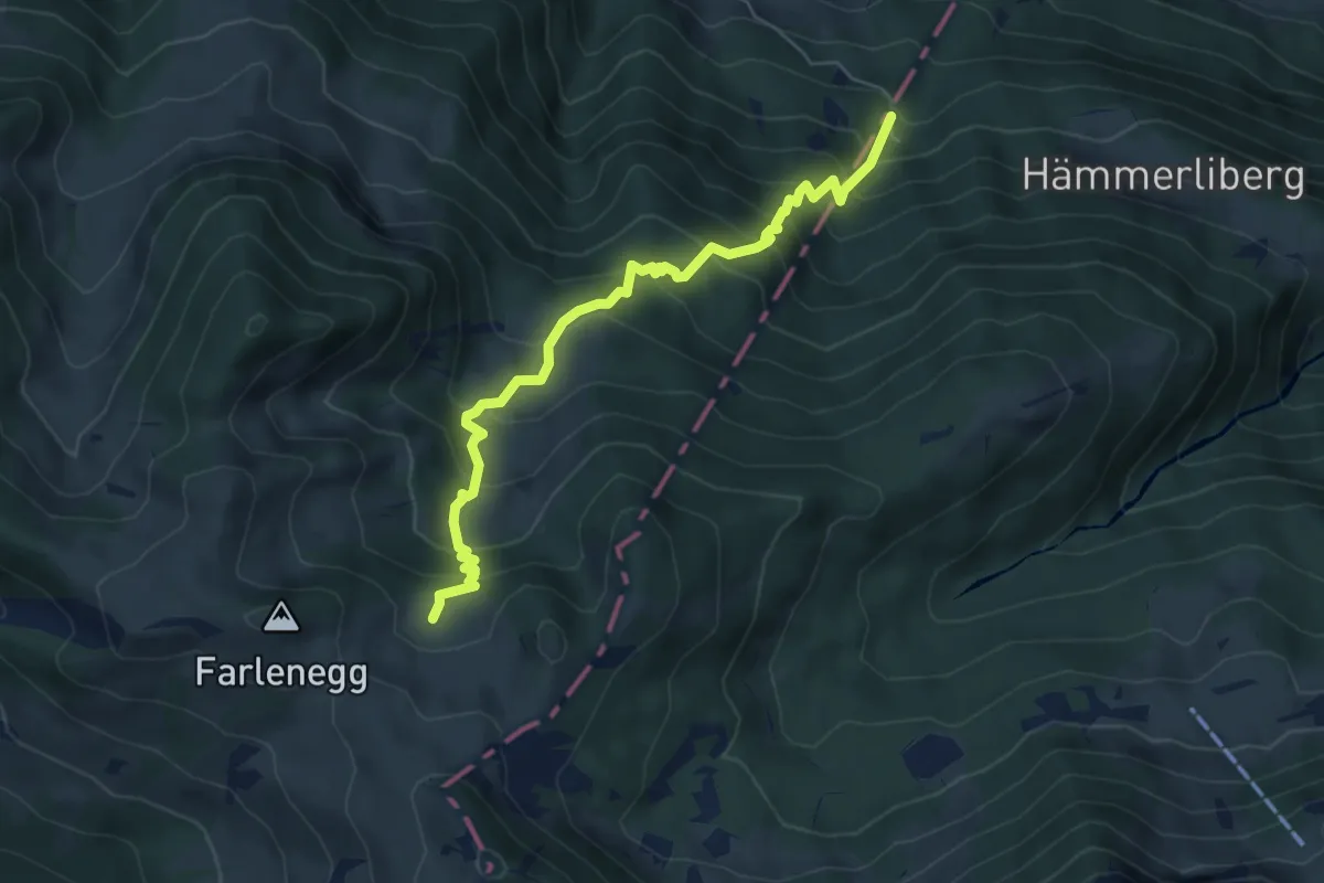
Medium · Trail
Hoggli – Lachen (Alp)
6.0 km · ↑ 668 m · 2 h 52 min · 15 km away
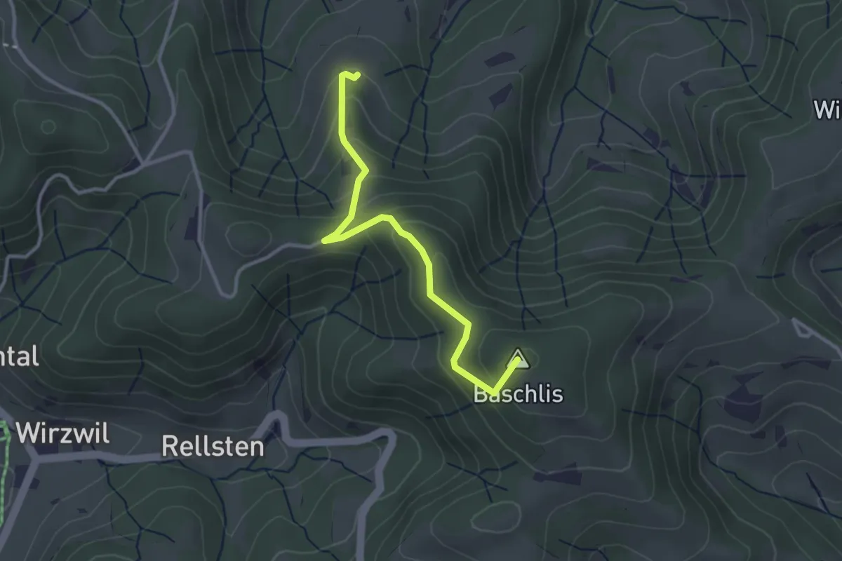
Easy · Summit
Ghöchweid - Unterlaupetswil - fixme
2.9 km · ↑ 185 m · 1 h 5 min · 15 km away
Easy · Trail
Greit Höhe - Finstersee
3.7 km · ↑ 217 m · 1 h 20 min · 15 km away
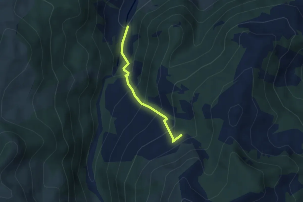
Medium · Trail
Ober Tries - Ijenschatten
2.8 km · ↑ 279 m · 1 h 16 min · 15 km away
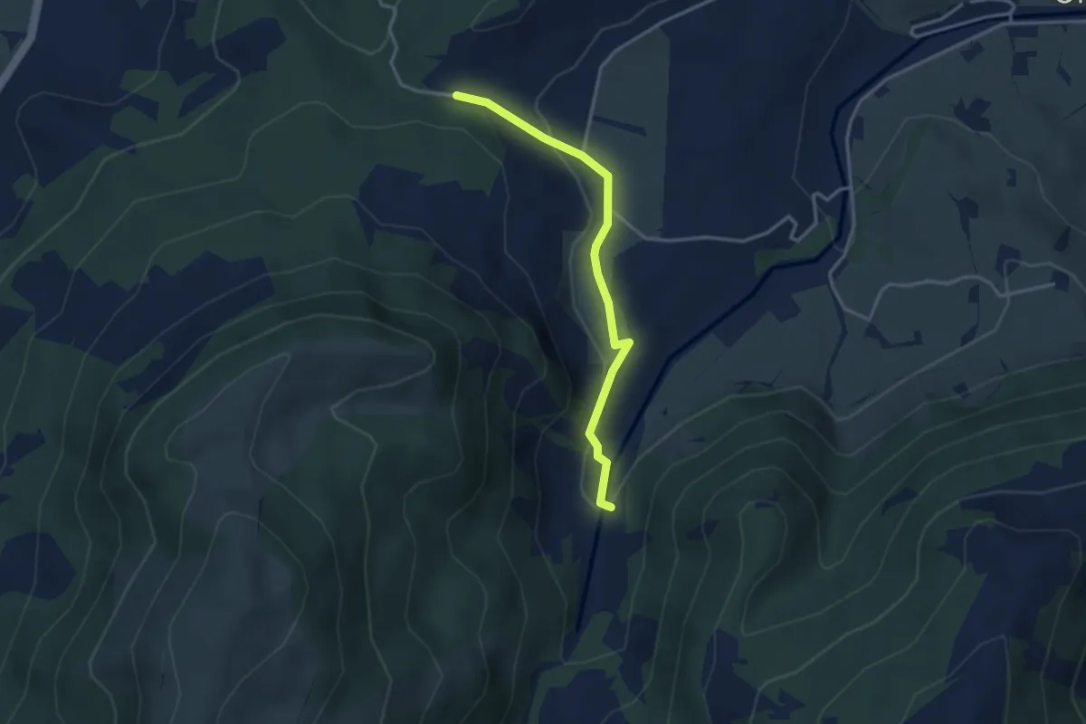
Easy · Trail
Ijenschatten - Chälen
3.1 km · ↑ 85 m · 55 min · 15 km away
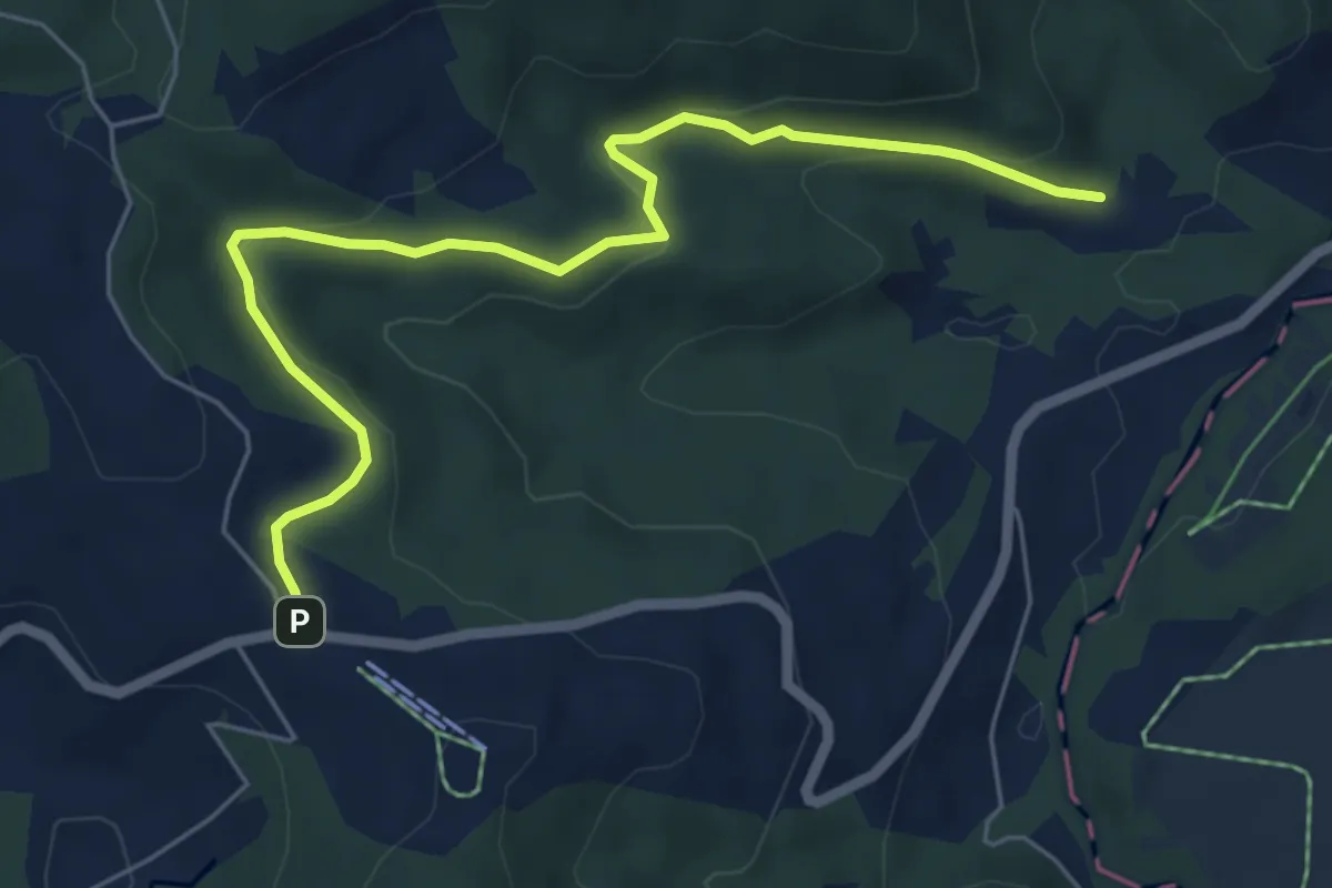
Easy · Trail
Breitried – Raten
6.3 km · ↑ 173 m · 1 h 52 min · 15 km away
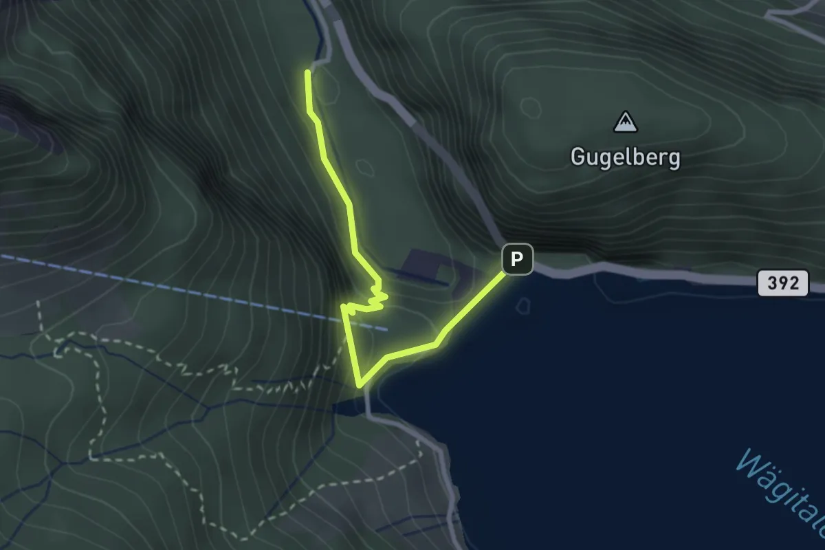
Medium · Trail
Staumauer – Stockerli
2.5 km · ↑ 230 m · 1 h 6 min · 15 km away
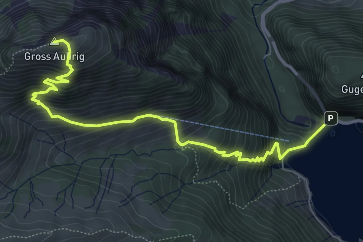
Demanding · Summit
Staumauer – Gross Aubrig
7.1 km · ↑ 782 m · 3 h 22 min · 15 km away
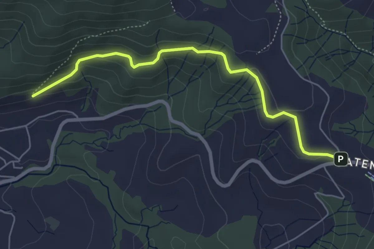
Easy · Trail
Gireggwald – Raten
5.0 km · ↑ 194 m · 1 h 36 min · 15 km away
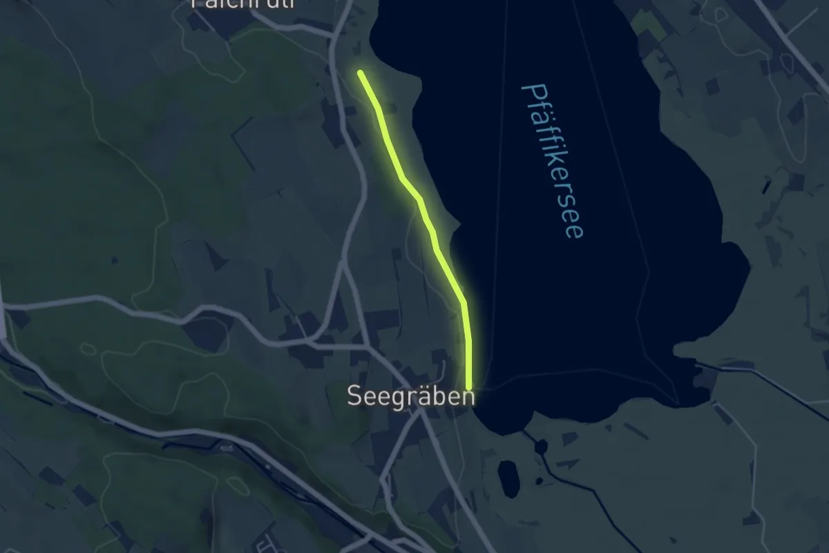
Easy · Trail
Talhof – Seegräben Landungssteg
3.4 km · ↑ 28 m · 52 min · 15 km away
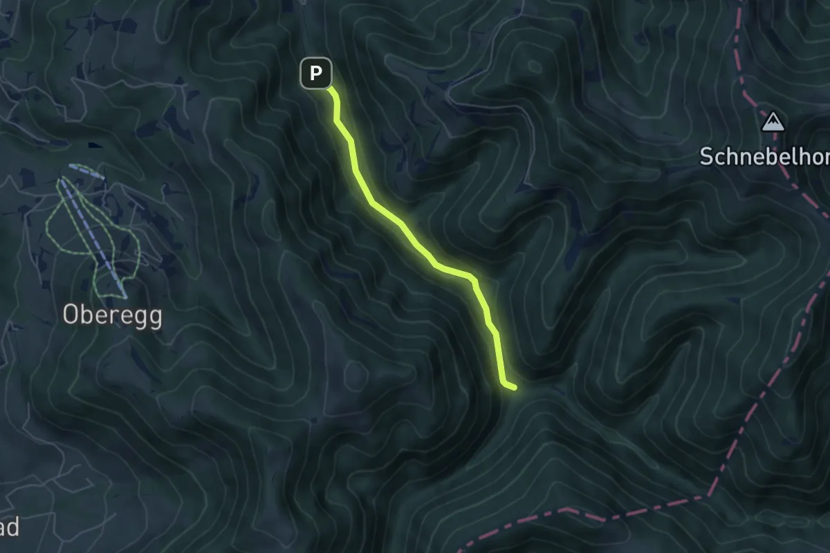
Easy · Trail
Tössscheidi - Buri
4.4 km · ↑ 128 m · 1 h 19 min · 15 km away
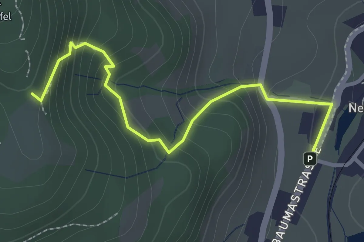
Demanding · Trail
Lättenweid - Neuthal (Bus)
2.3 km · ↑ 197 m · 59 min · 15 km away
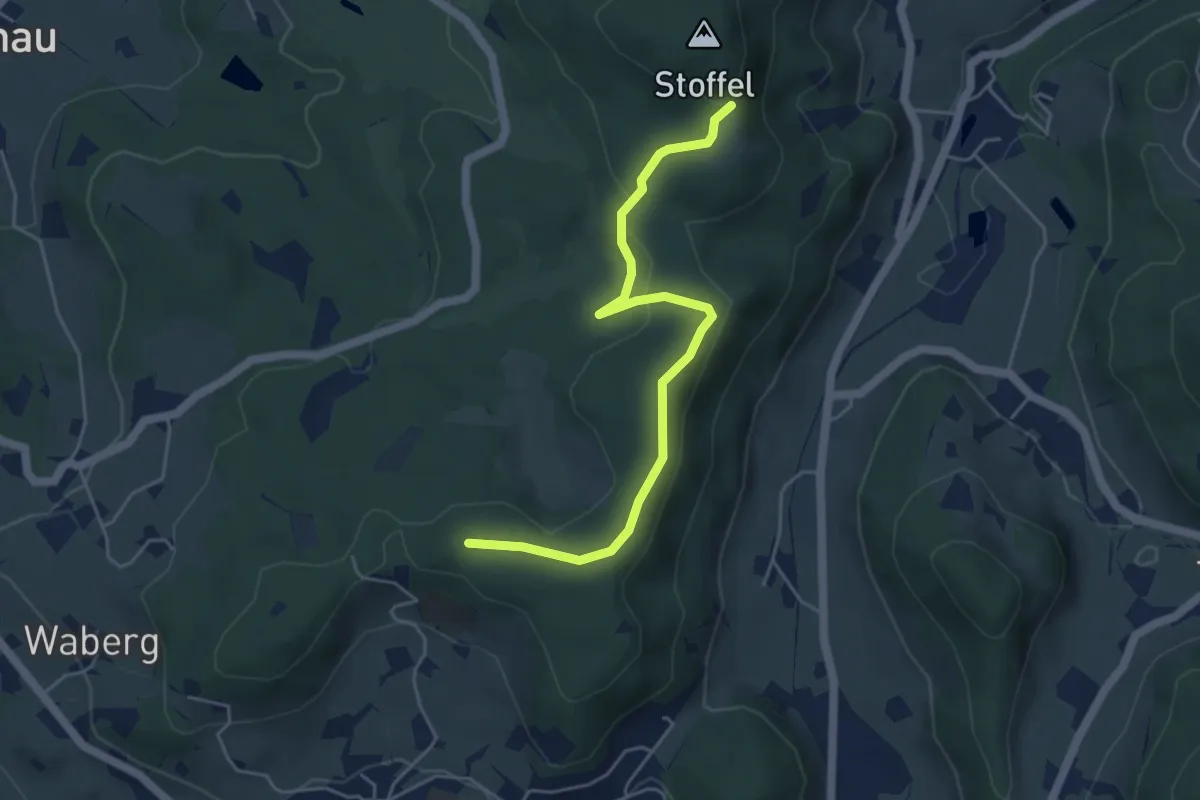
Easy · Trail
Lättenweid - Türli
4.8 km · ↑ 141 m · 1 h 27 min · 15 km away