Trails near Rheinfelden
349 hikes starting within 15 km, nearest first.
Nearest first, page 7 of 8
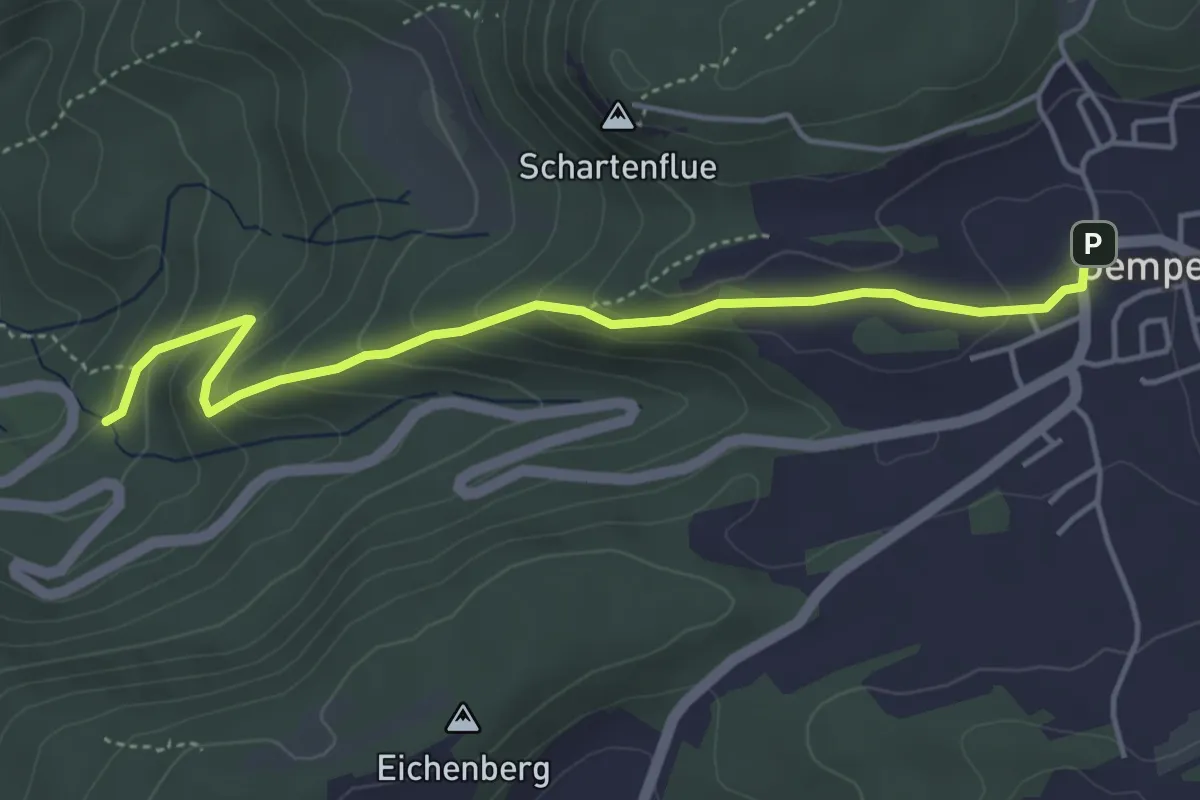
Easy · Trail
Gempen – Woll
4.5 km · ↑ 247 m · 1 h 36 min · 13 km away
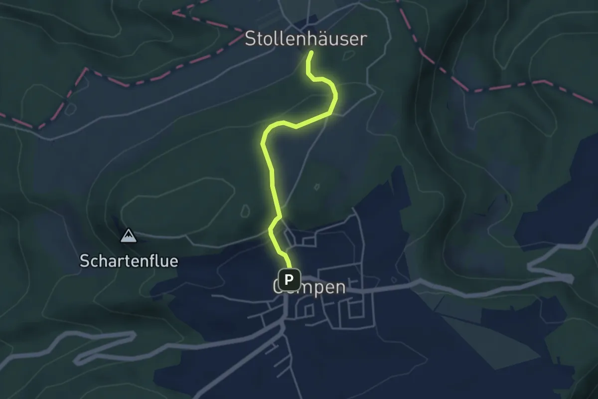
Medium · Trail
Gempen – Stollenhäuser
3.3 km · ↑ 140 m · 1 h 5 min · 13 km away
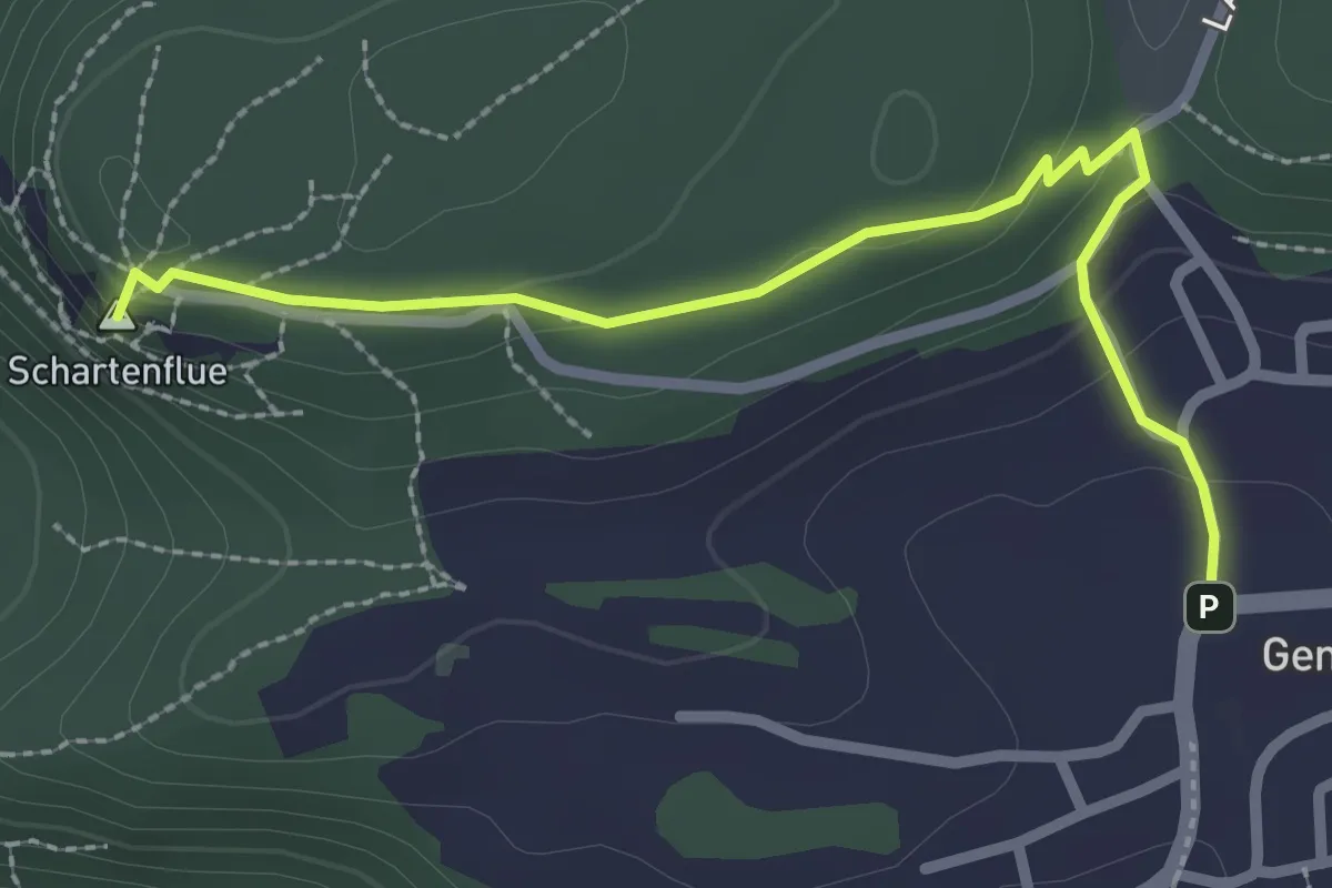
Easy · Summit
Schartenflue – Gempen
2.7 km · ↑ 91 m · 50 min · 13 km away
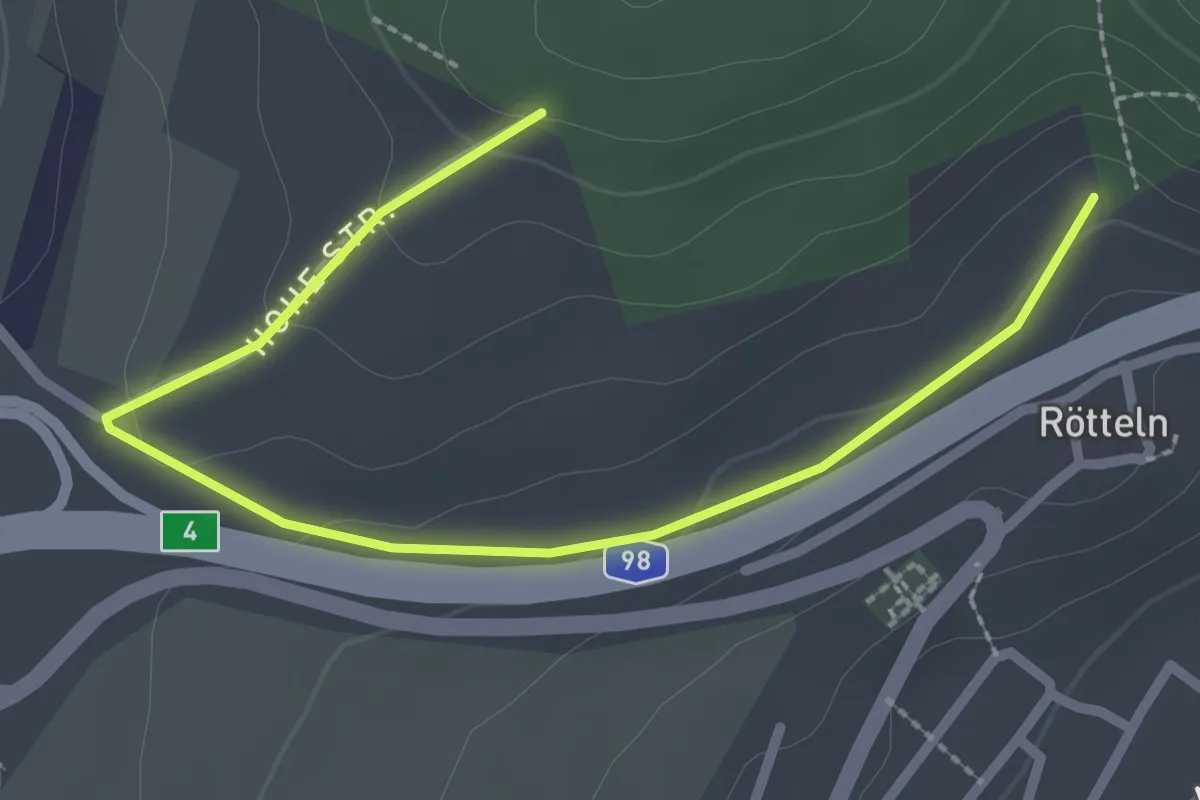
Easy · Trail
Fohrenbuck - Oberhalb Kirche Rötteln
2.9 km · ↑ 71 m · 50 min · 13 km away
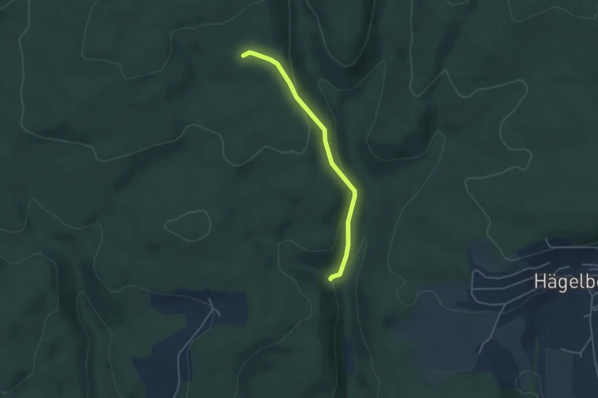
Easy · Trail
Kastanienbaum - Gendarmenwegli
3.2 km · ↑ 125 m · 1 h 2 min · 14 km away
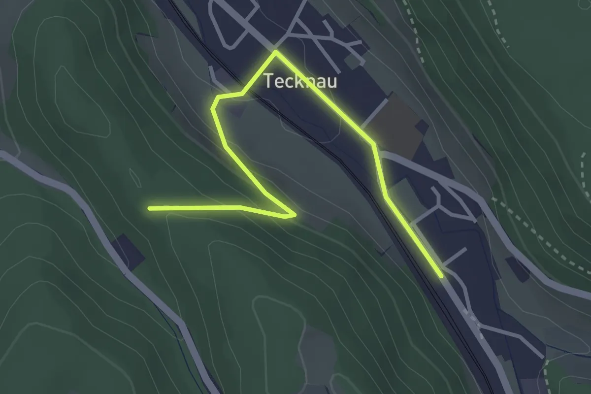
Easy · Trail
Tecknau - Ruine Schneidegg
3.2 km · ↑ 123 m · 1 h 1 min · 14 km away
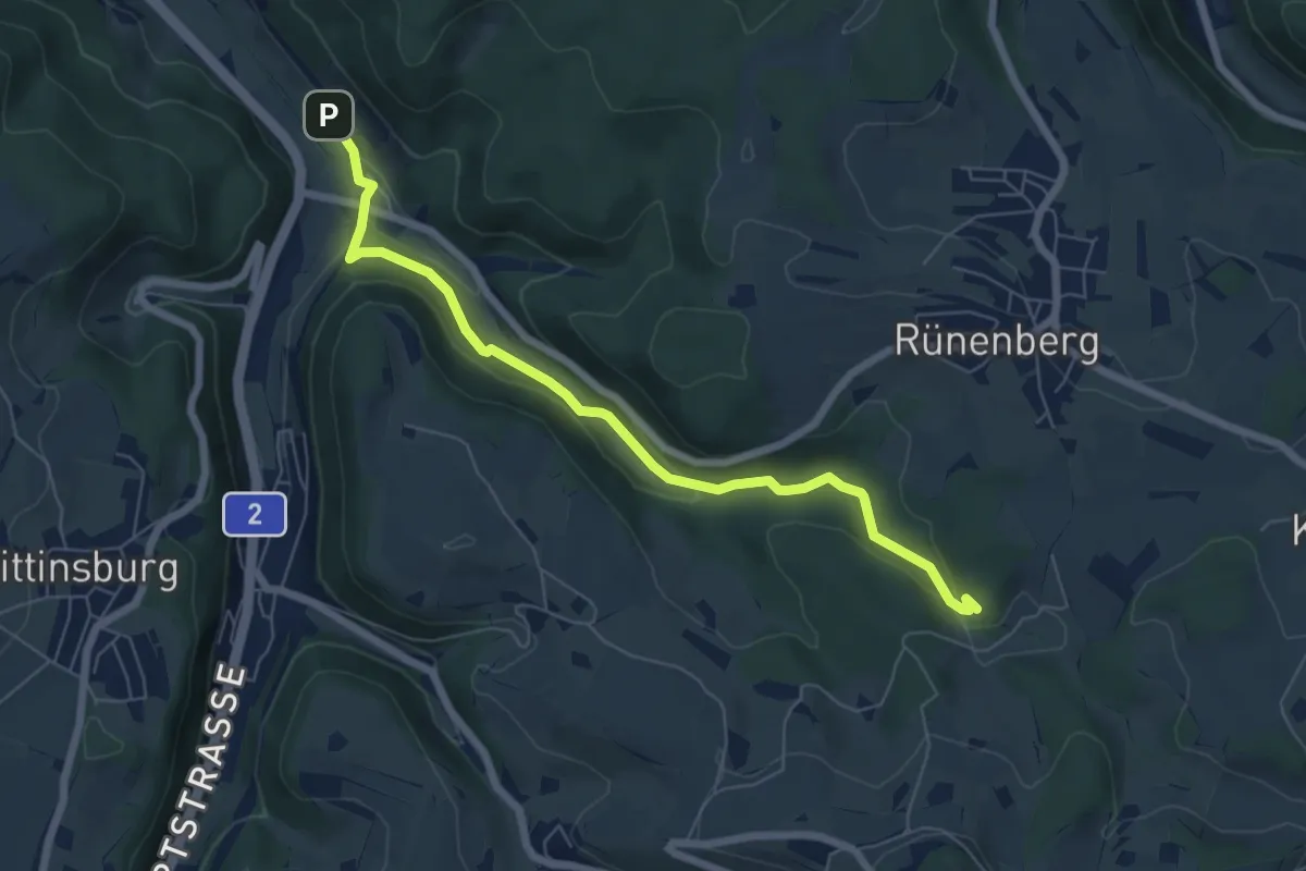
Easy · Trail
Giessen – Sommerau
6.6 km · ↑ 158 m · 1 h 54 min · 14 km away
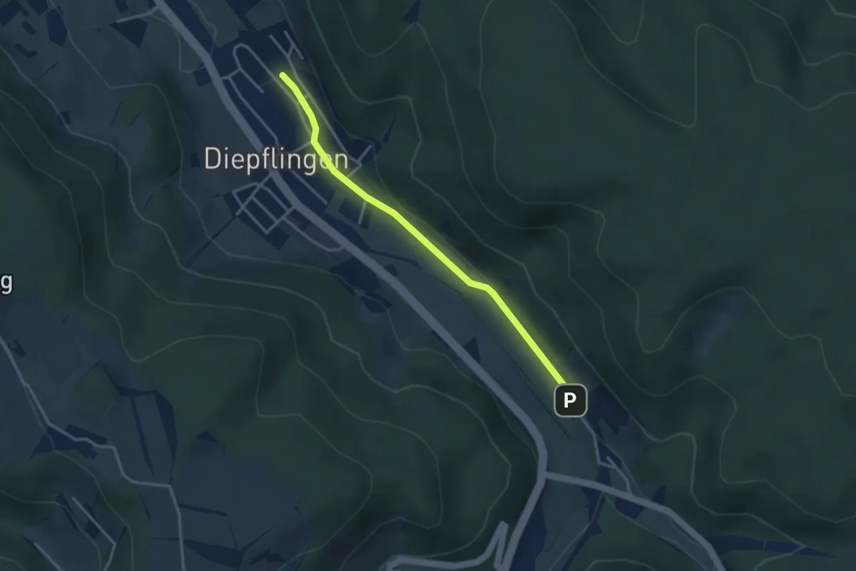
Easy · Trail
Sommerau – Diepflingen
3.1 km · ↑ 37 m · 49 min · 14 km away
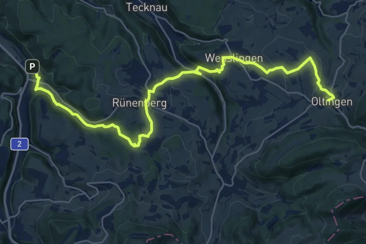
Demanding · Trail
Baselbieter Chirsiweg
20.9 km · ↑ 521 m · 6 h 3 min · 14 km away
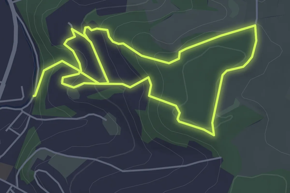
Medium · Trail
Themen_Weg Leuenberg
8.4 km · ↑ 374 m · 2 h 47 min · 14 km away
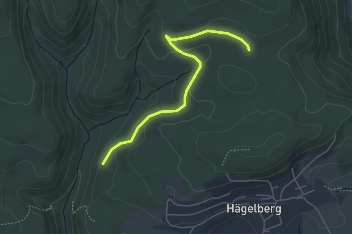
Easy · Trail
Lochhalde - Saatschulhütte
4.1 km · ↑ 78 m · 1 h 8 min · 14 km away
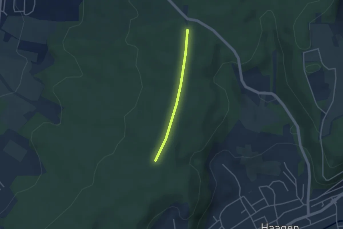
Easy · Trail
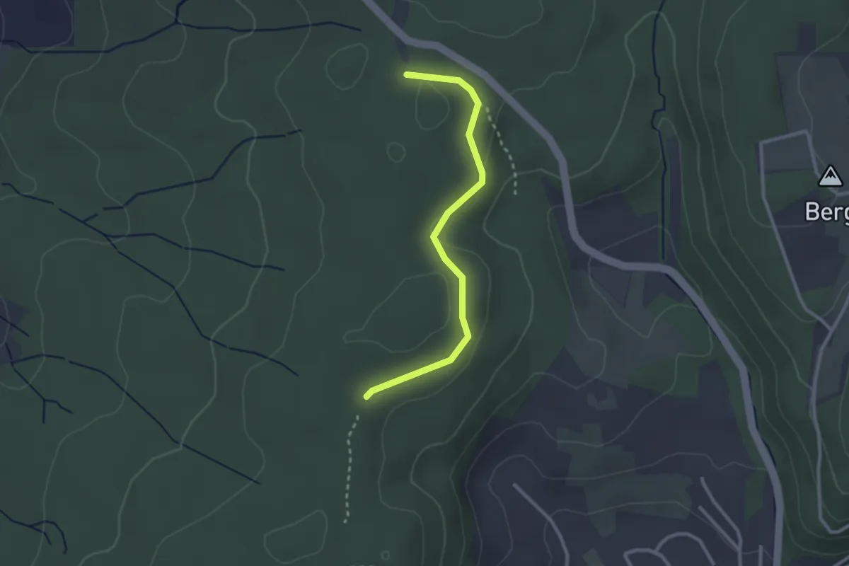
Nikolausgraben - Wittlinger Trimm-Dich-Pfad
2.2 km · ↑ 18 m · 34 min · 14 km away
Easy · Trail
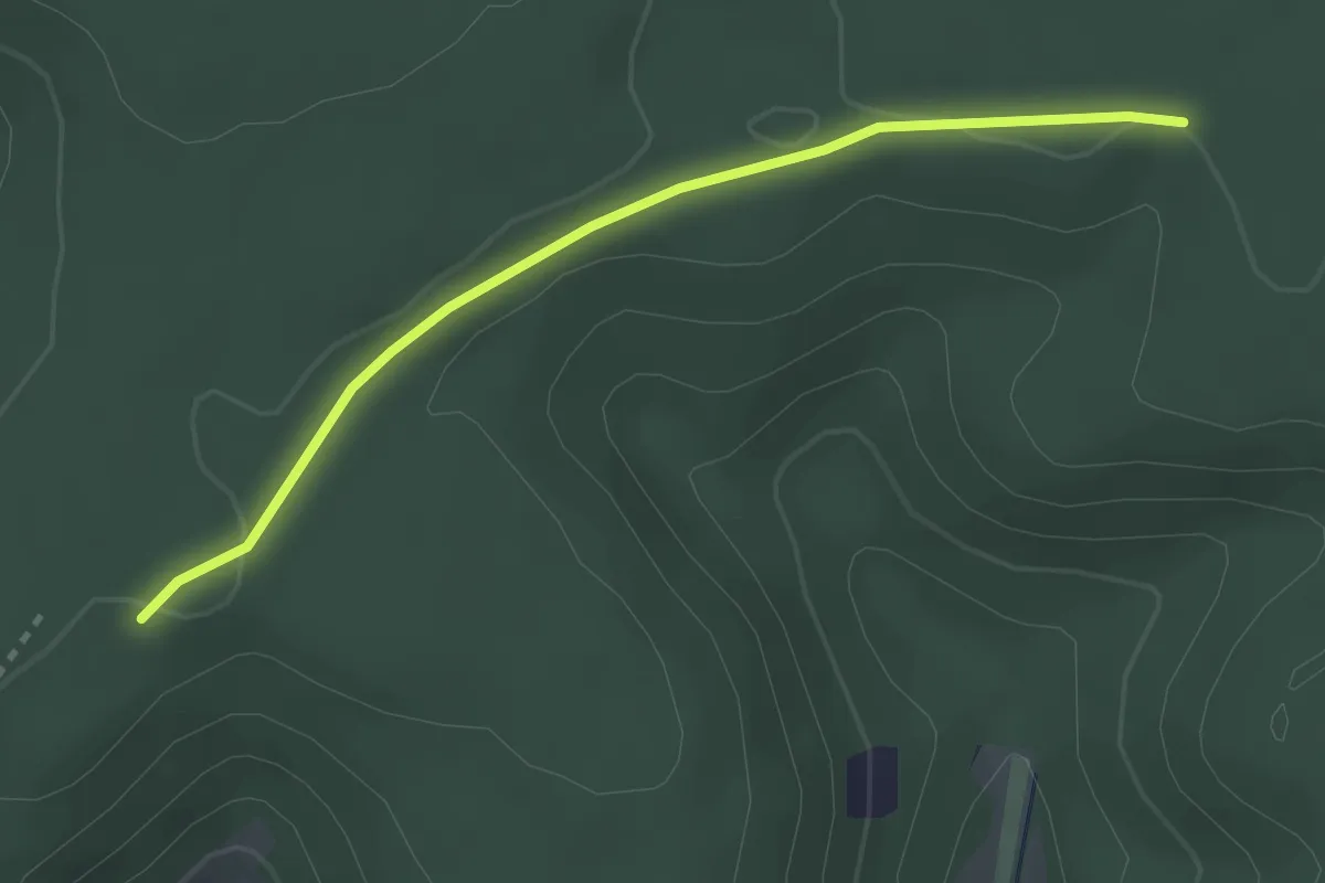
Wittlinger Trimm-Dich-Pfad - Am Trimm-Dich-Pfad
2.6 km · ↑ 34 m · 40 min · 14 km away
Easy · Trail
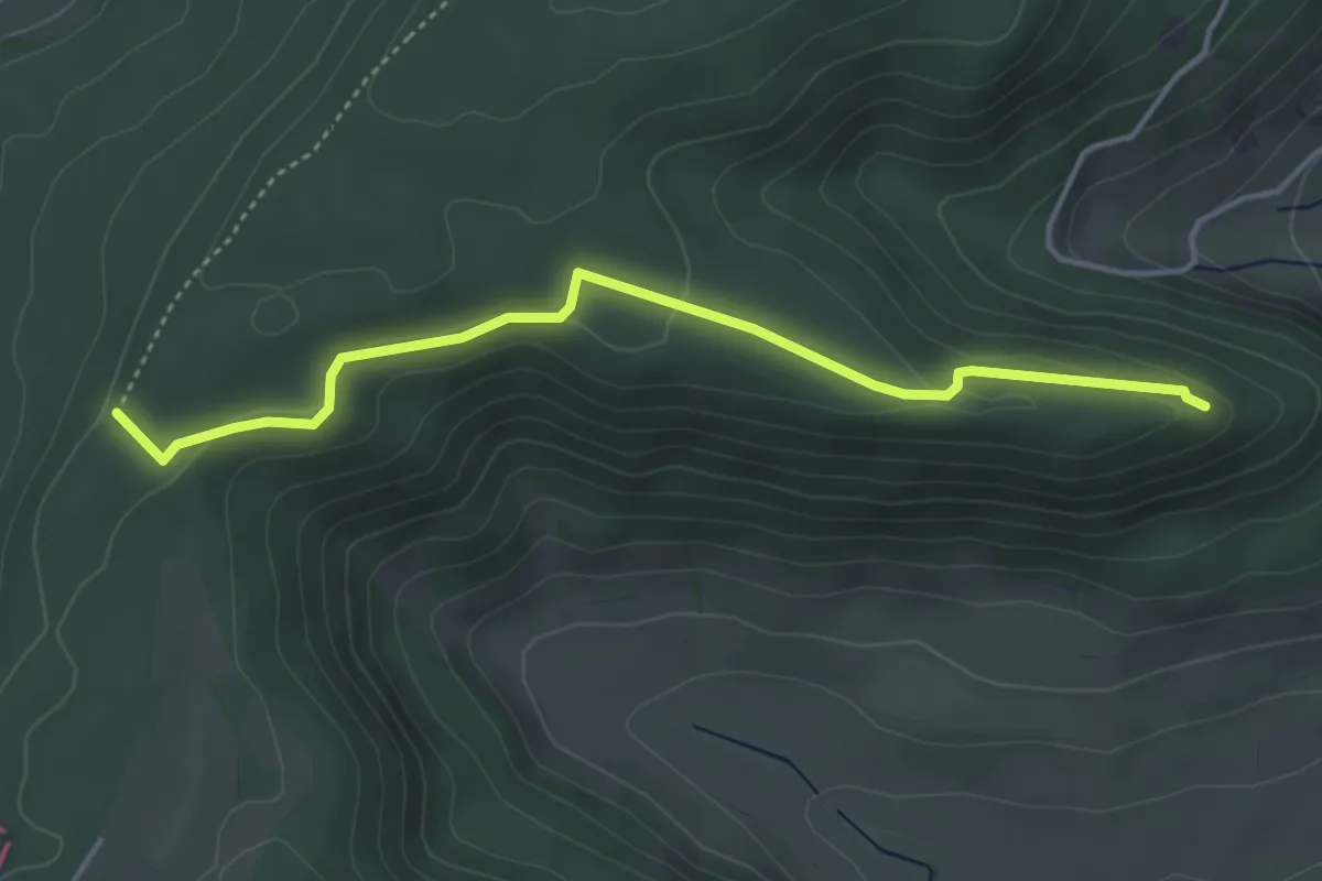
Waldhaus – Rottannen
2.8 km · ↑ 12 m · 41 min · 14 km away
Easy · Trail
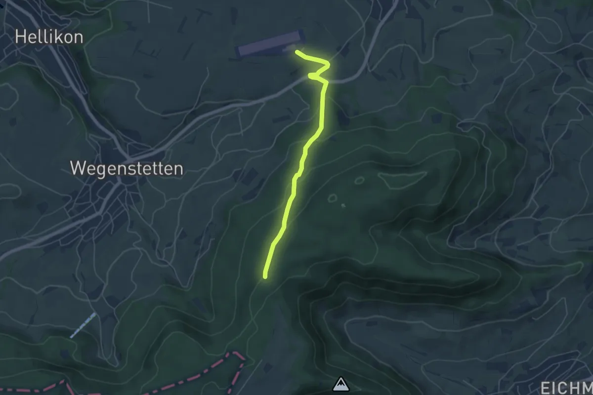
Fazedelle – Ruine Alt Homberg
4.1 km · ↑ 98 m · 1 h 11 min · 14 km away
Easy · Trail
Fazedelle – Schupfart Flugplatz
4.8 km · ↑ 194 m · 1 h 34 min · 14 km away
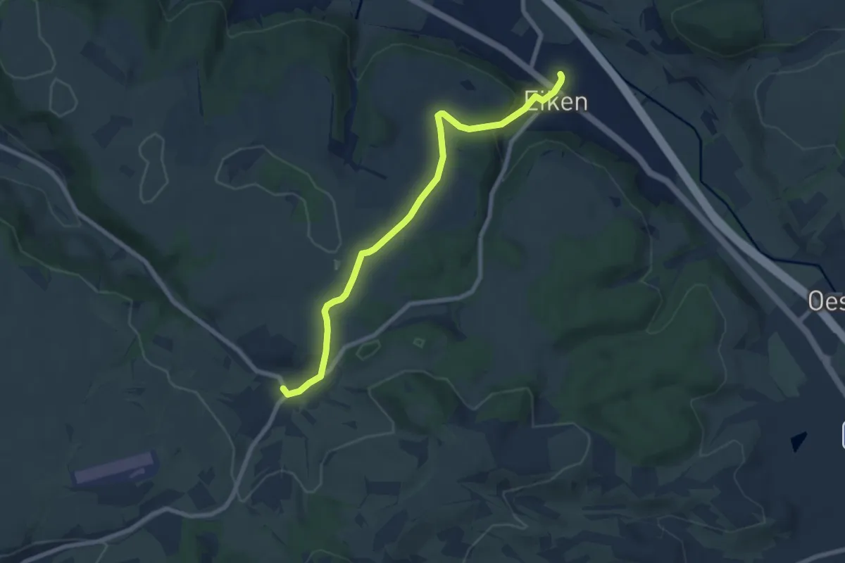
Easy · Trail
Eiken - Schupfart
6.9 km · ↑ 203 m · 2 h 4 min · 14 km away
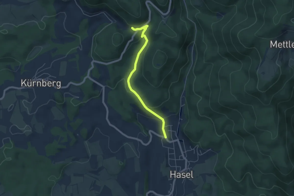
Easy · Trail
Füllsberg - Hasel Oberdorf
4.6 km · ↑ 155 m · 1 h 25 min · 14 km away
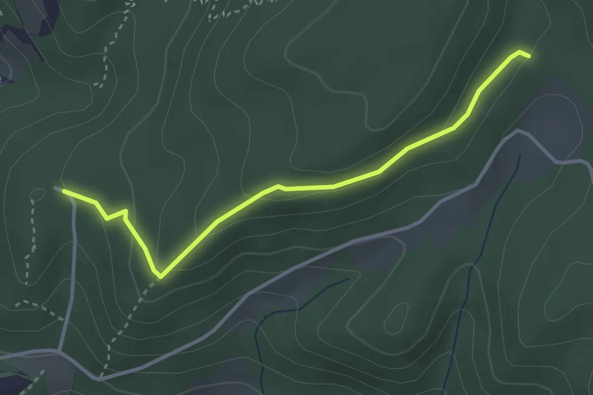
Easy · Trail
Burg Reichenstein - Gstüd Ränggersmatt
3.0 km · ↑ 107 m · 57 min · 14 km away
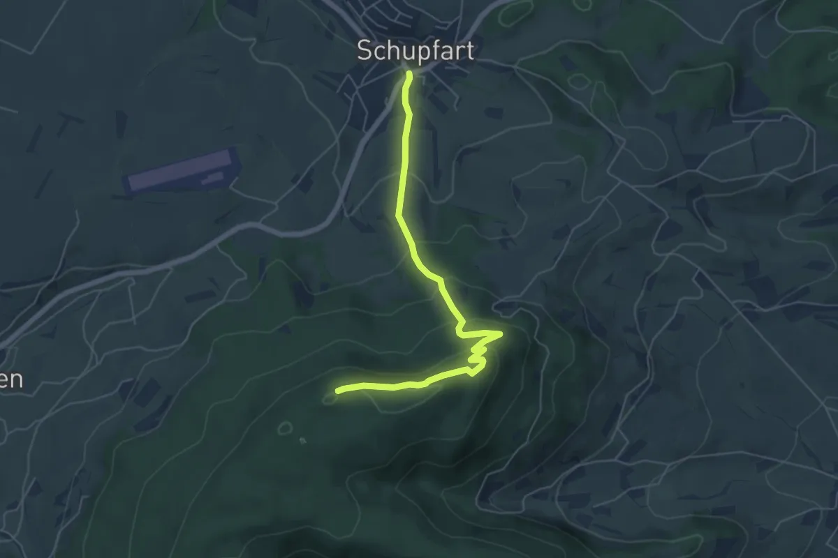
Easy · Summit
Tiersteinberg – Schupfart Postauto
5.6 km · ↑ 291 m · 1 h 58 min · 14 km away
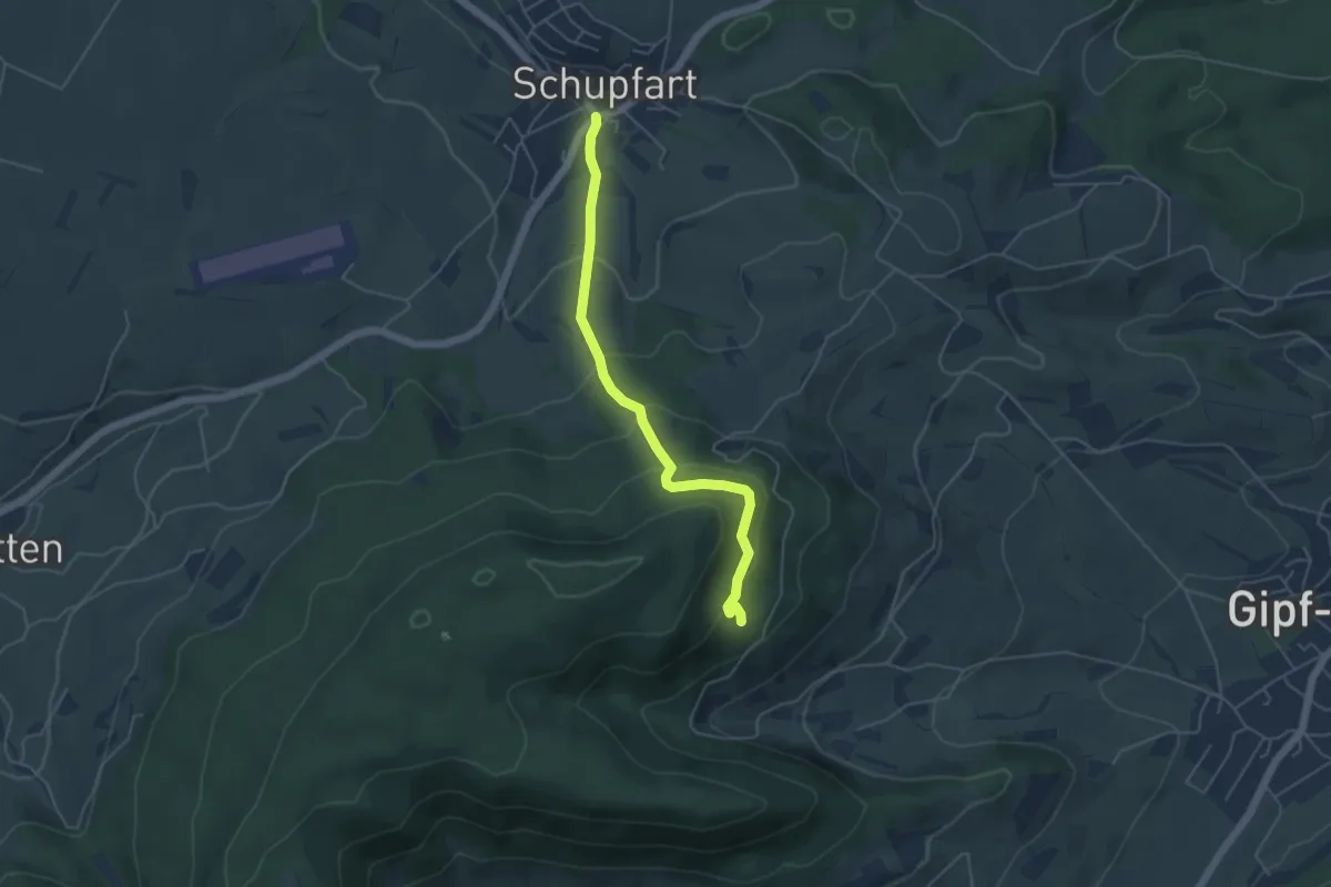
Easy · Trail
Ruine Tierstein - Schupfart Postauto
4.6 km · ↑ 291 m · 1 h 43 min · 14 km away
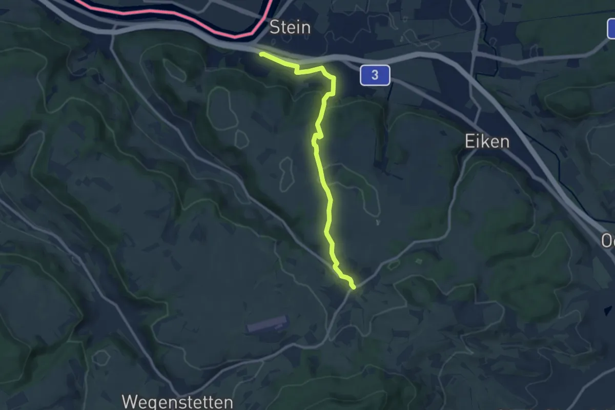
Medium · Trail
Schupfart - Stein
8.9 km · ↑ 272 m · 2 h 41 min · 14 km away
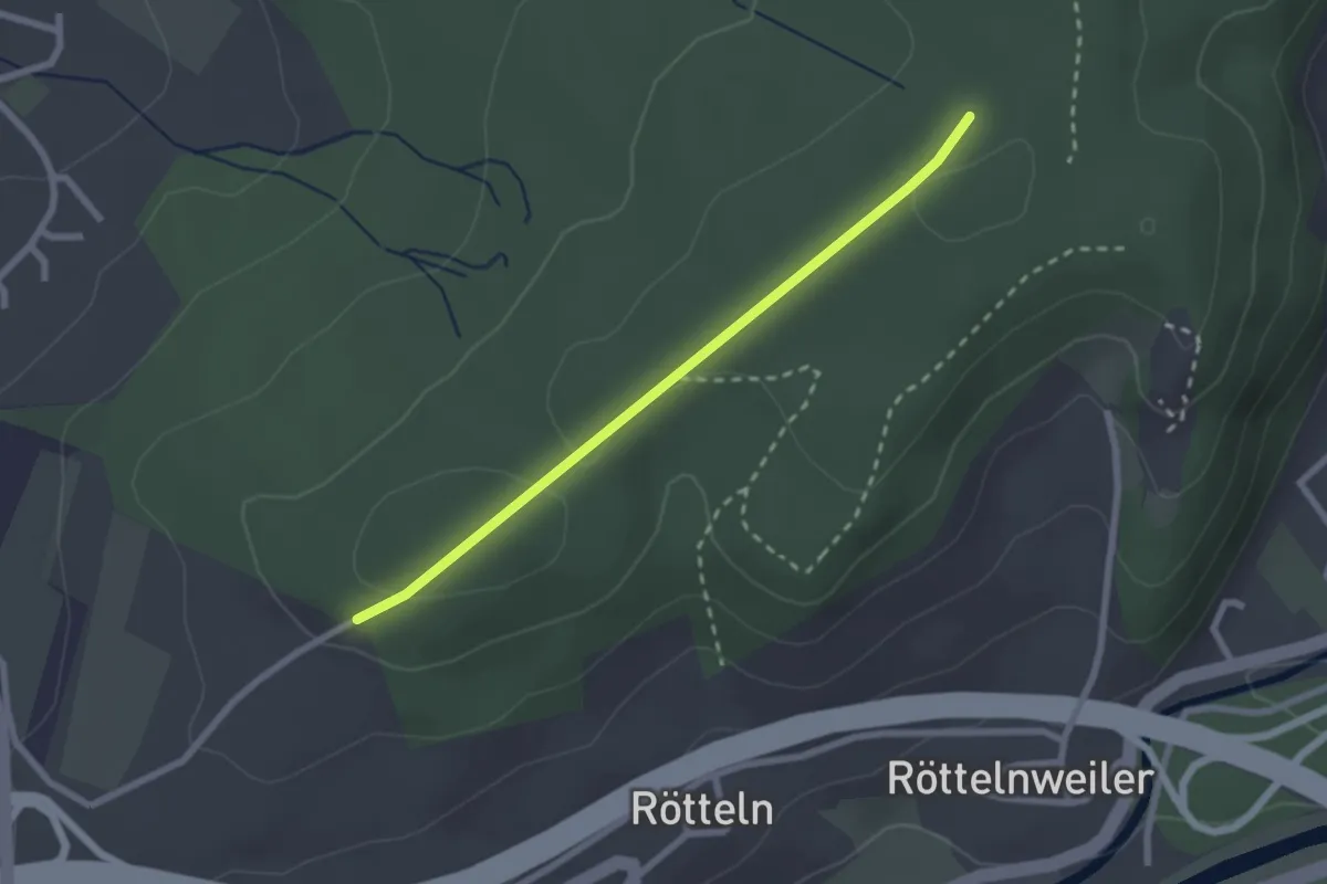
Easy · Trail
Fohrenbuck - Nikolausgraben
2.2 km · ↑ 29 m · 35 min · 14 km away
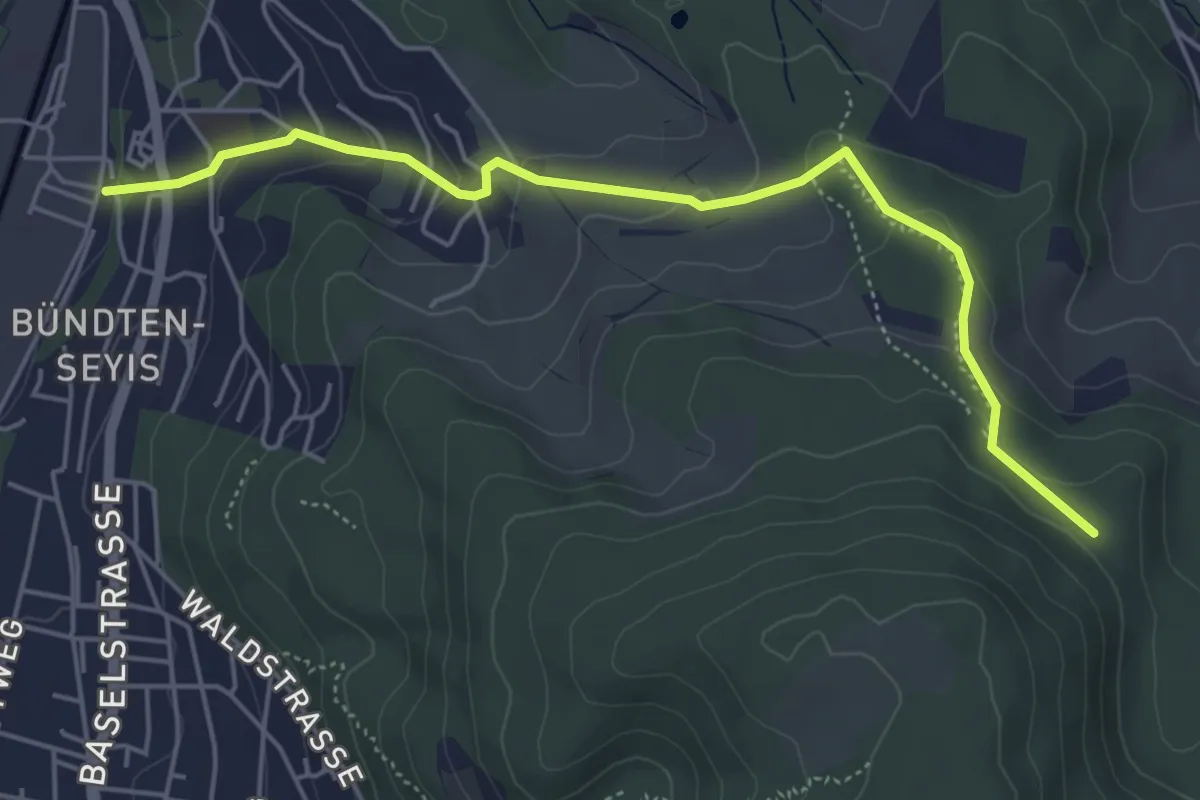
Easy · Trail
Münchenstein – Winterhalle
5.3 km · ↑ 217 m · 1 h 43 min · 14 km away
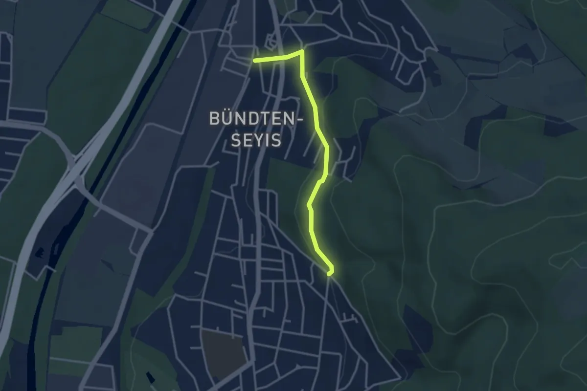
Easy · Trail
Münchenstein – Spitalholz?
2.6 km · ↑ 118 m · 53 min · 14 km away
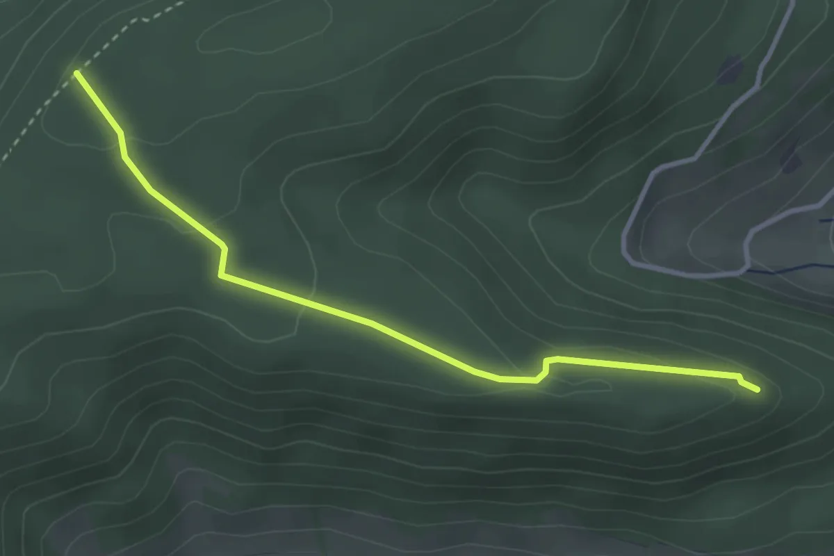
Easy · Trail
Tiersteinberg – Ruine Alt Homberg
3.2 km · ↑ 113 m · 1 h 1 min · 14 km away
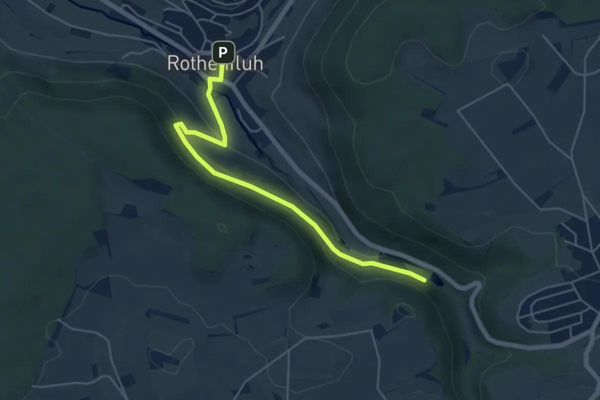
Easy · Trail
Talweiher – Rothenfluh
4.6 km · ↑ 168 m · 1 h 27 min · 14 km away
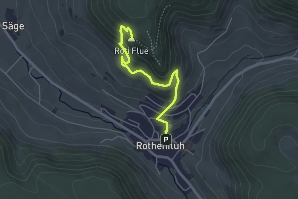
Easy · Summit
Rothenfluh – Rothenfluer Flue
3.7 km · ↑ 279 m · 1 h 29 min · 14 km away
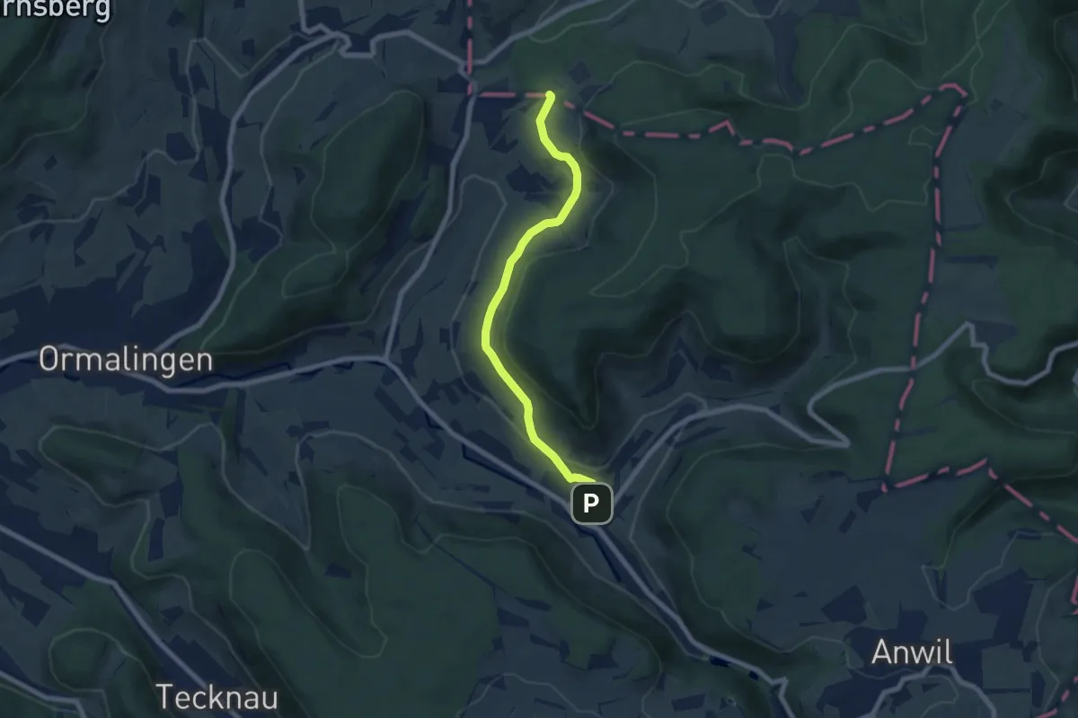
Easy · Trail
Usseri Weid – Rothenfluh
6.6 km · ↑ 202 m · 1 h 59 min · 14 km away
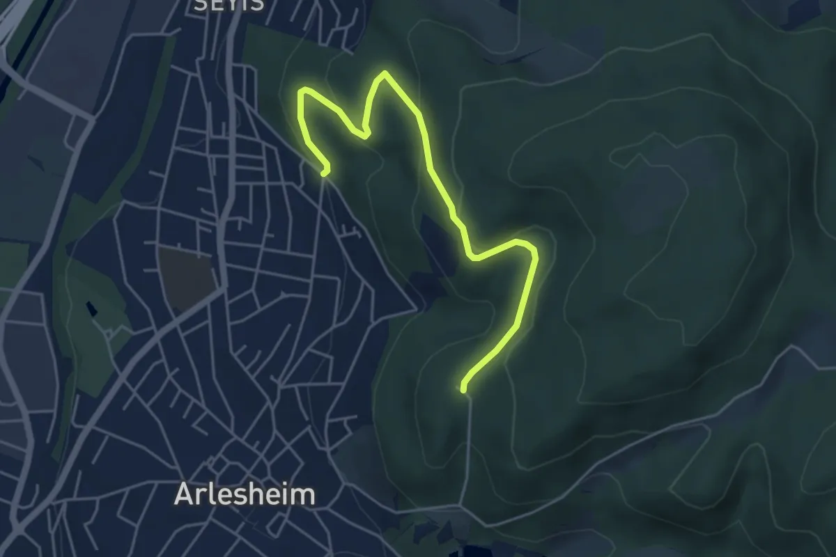
Easy · Trail
Burg Reichenstein - Spitalholz - fixme
4.8 km · ↑ 165 m · 1 h 29 min · 14 km away
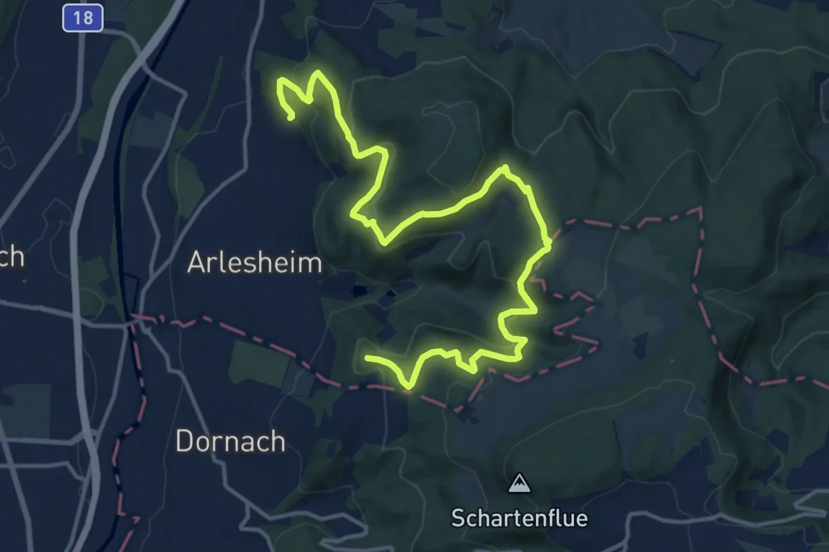
Medium · Summit
Elsa - Heierli - Weg
15.5 km · ↑ 712 m · 5 h 12 min · 14 km away
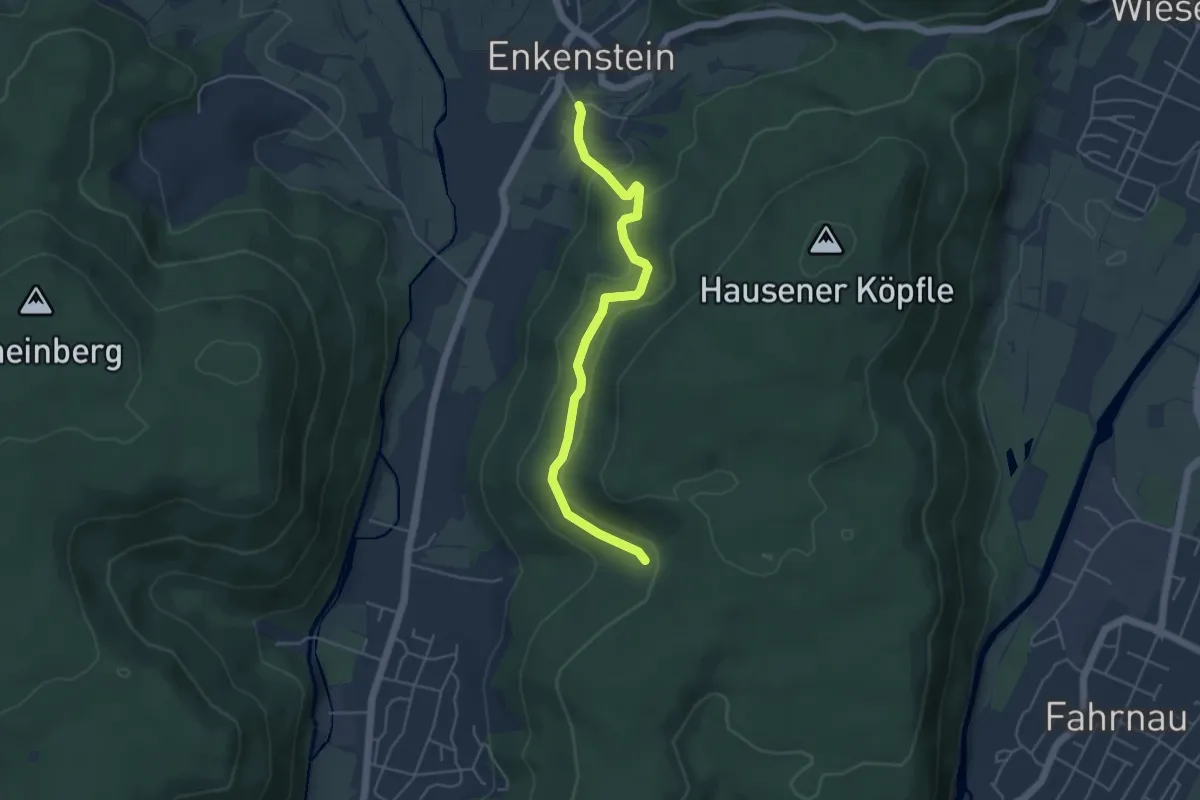
Easy · Trail
Lachsgrabenweg - Dachsgrabenbrünnli
4.6 km · ↑ 168 m · 1 h 27 min · 14 km away
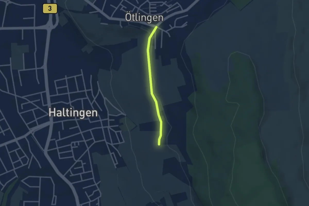
Easy · Trail
Ötlingen Oberdorf - Marktfrauenweg
2.1 km · ↑ 31 m · 34 min · 14 km away
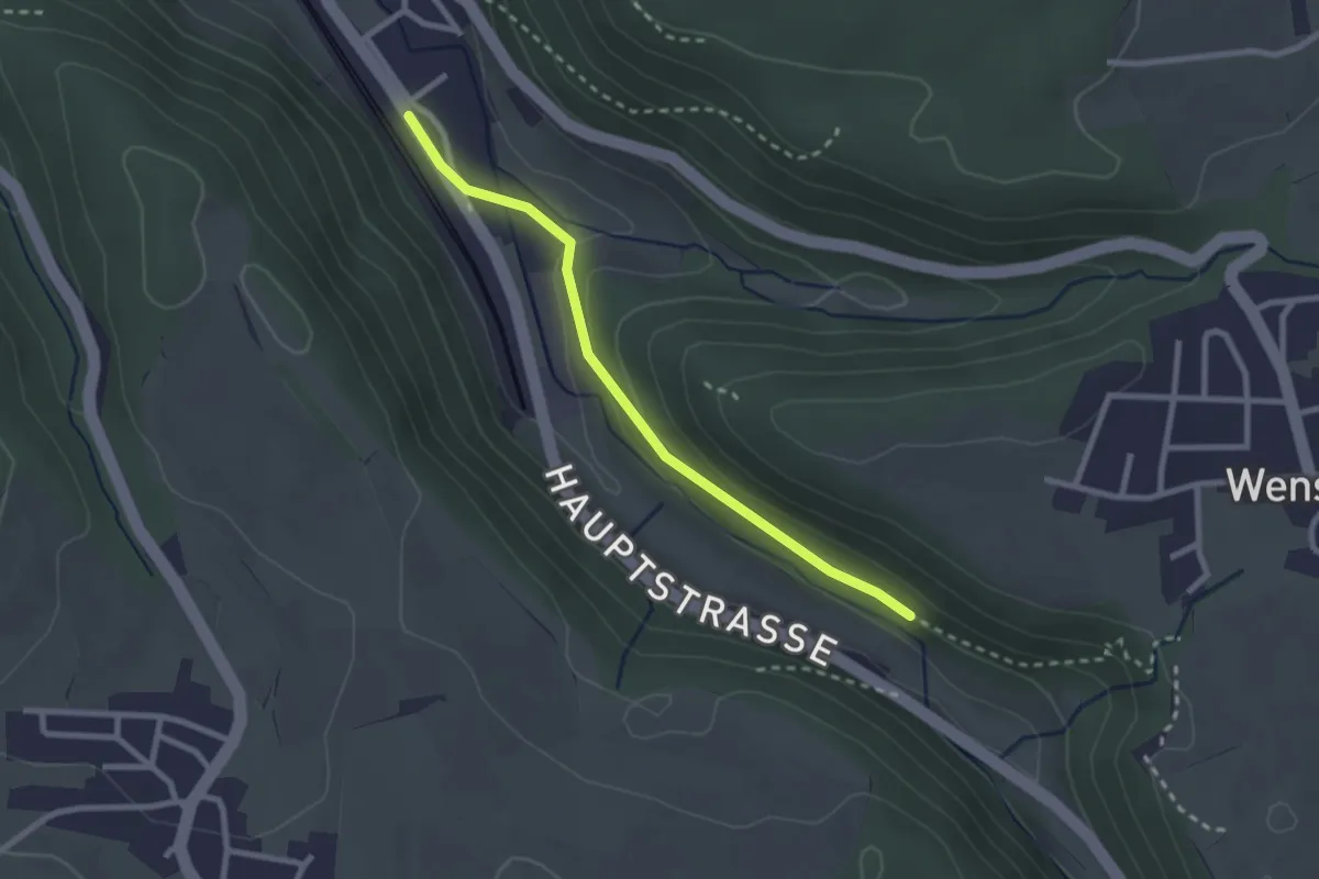
Easy · Trail
Tecknau – Burghalden
2.4 km · ↑ 56 m · 41 min · 14 km away
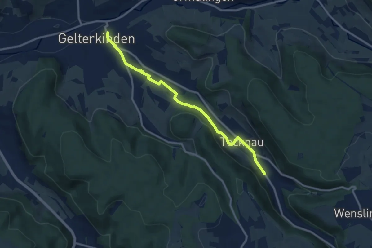
Easy · Trail
Gelterkinden – Tecknau
7.2 km · ↑ 102 m · 1 h 56 min · 14 km away
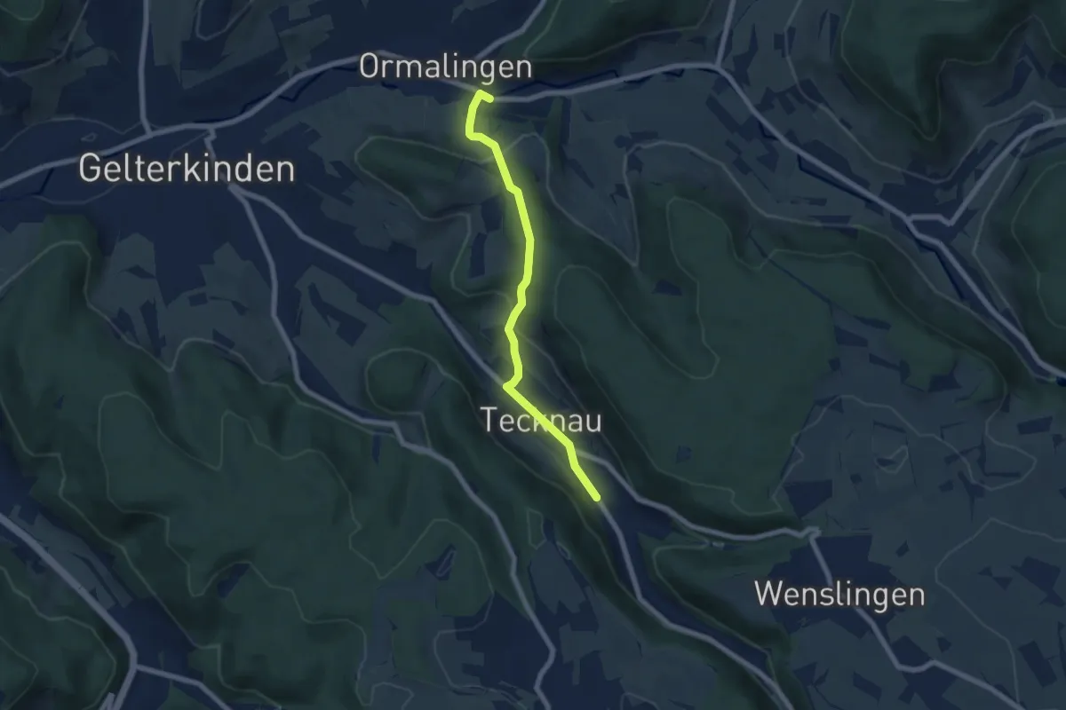
Easy · Trail
Tecknau - Ormalingen
6.0 km · ↑ 281 m · 2 h 2 min · 14 km away
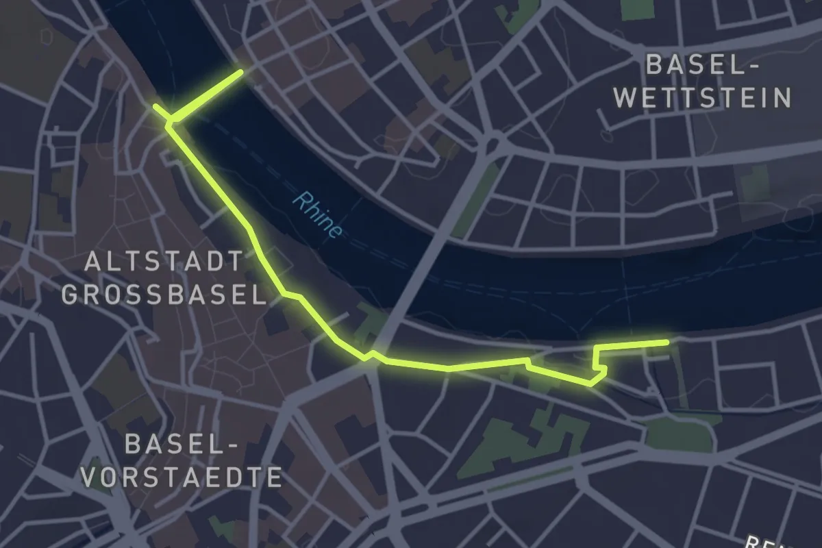
Easy · Trail
Schifflände-St. Alban
4.0 km · ↑ 55 m · 1 h 4 min · 14 km away
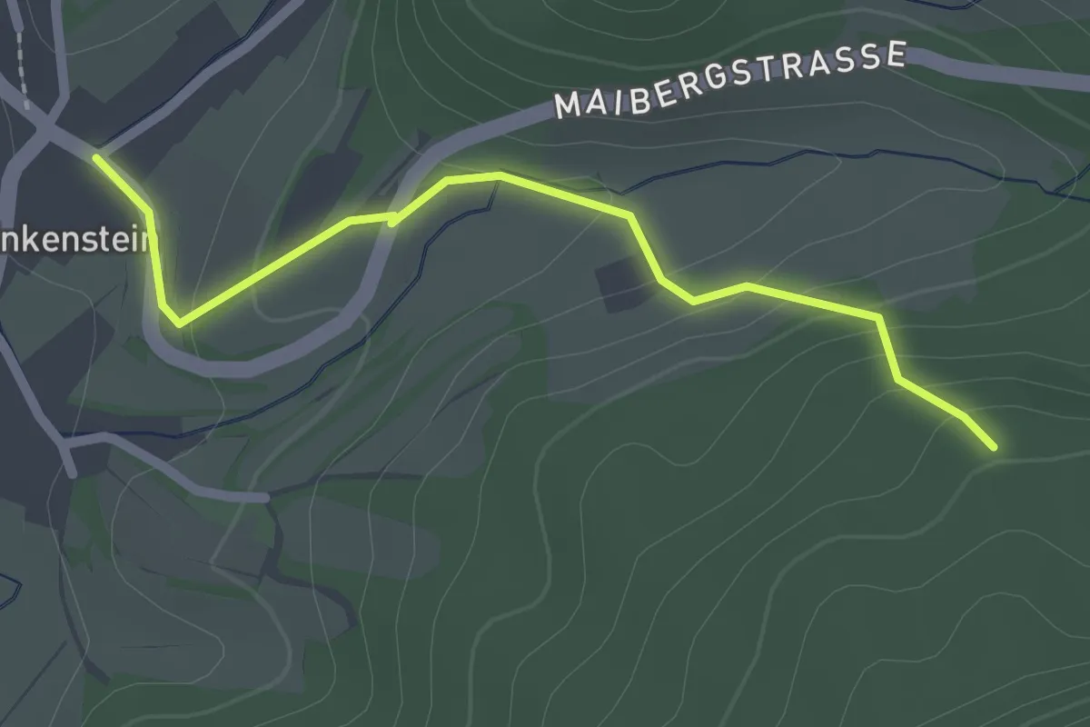
Easy · Trail
Klausenwäldeli - Enkenstein Gresger Weg
2.1 km · ↑ 98 m · 43 min · 14 km away
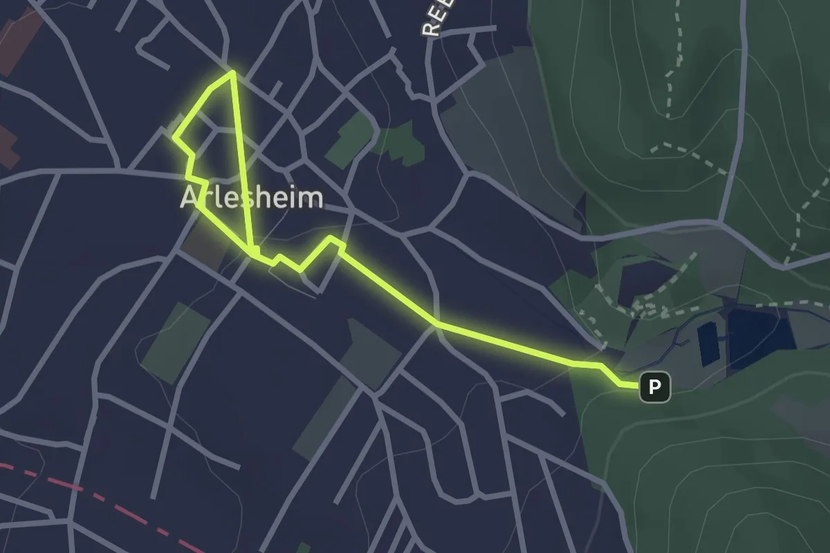
Easy · Trail
Ermitage – Arlesheim Tram
2.9 km · ↑ 54 m · 48 min · 14 km away
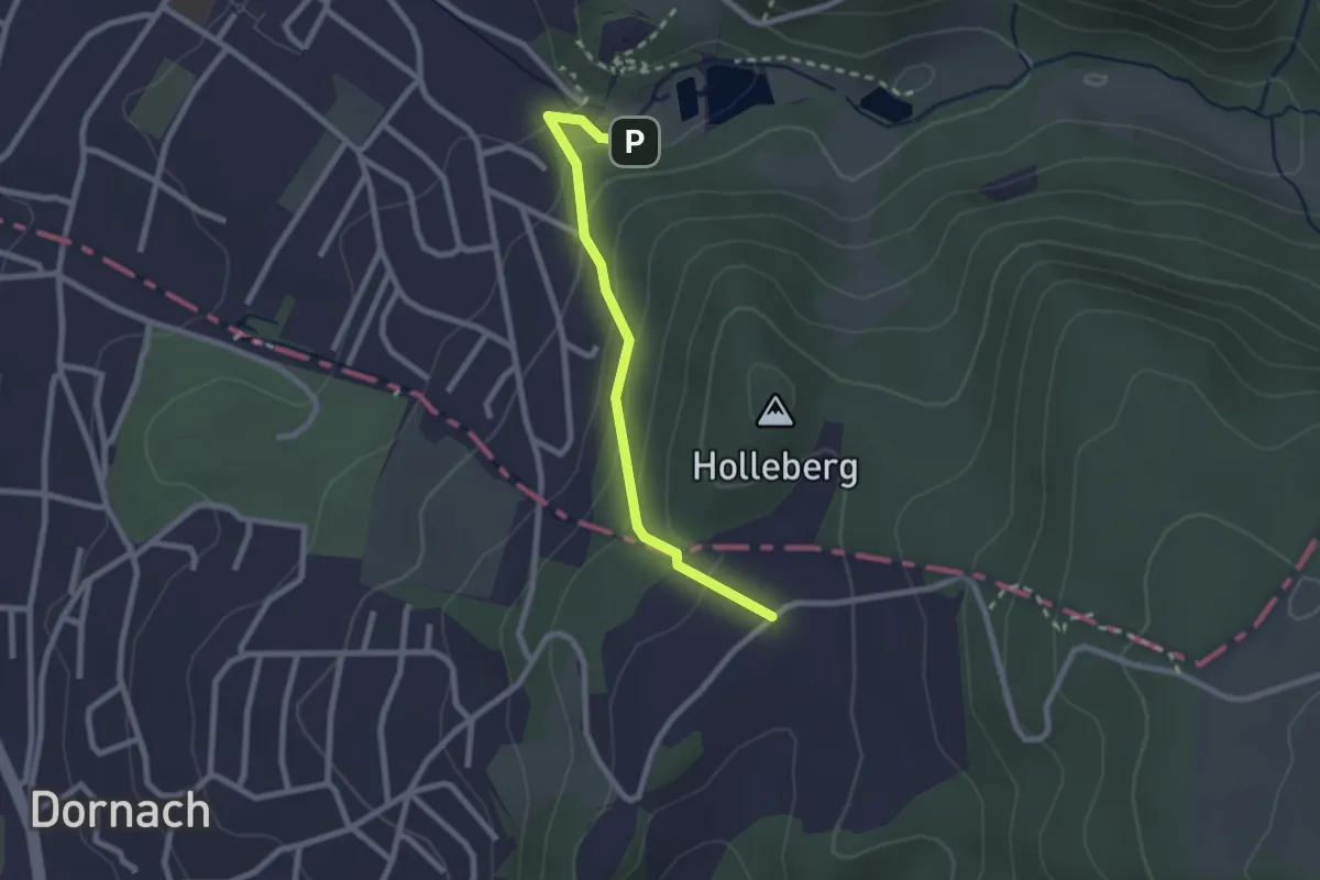
Easy · Trail
Schlosshof – Ermitage
2.3 km · ↑ 150 m · 51 min · 14 km away
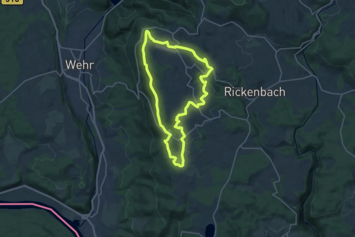
Medium · Summit
Hotzenpfad
12.8 km · ↑ 347 m · 3 h 57 min · 14 km away
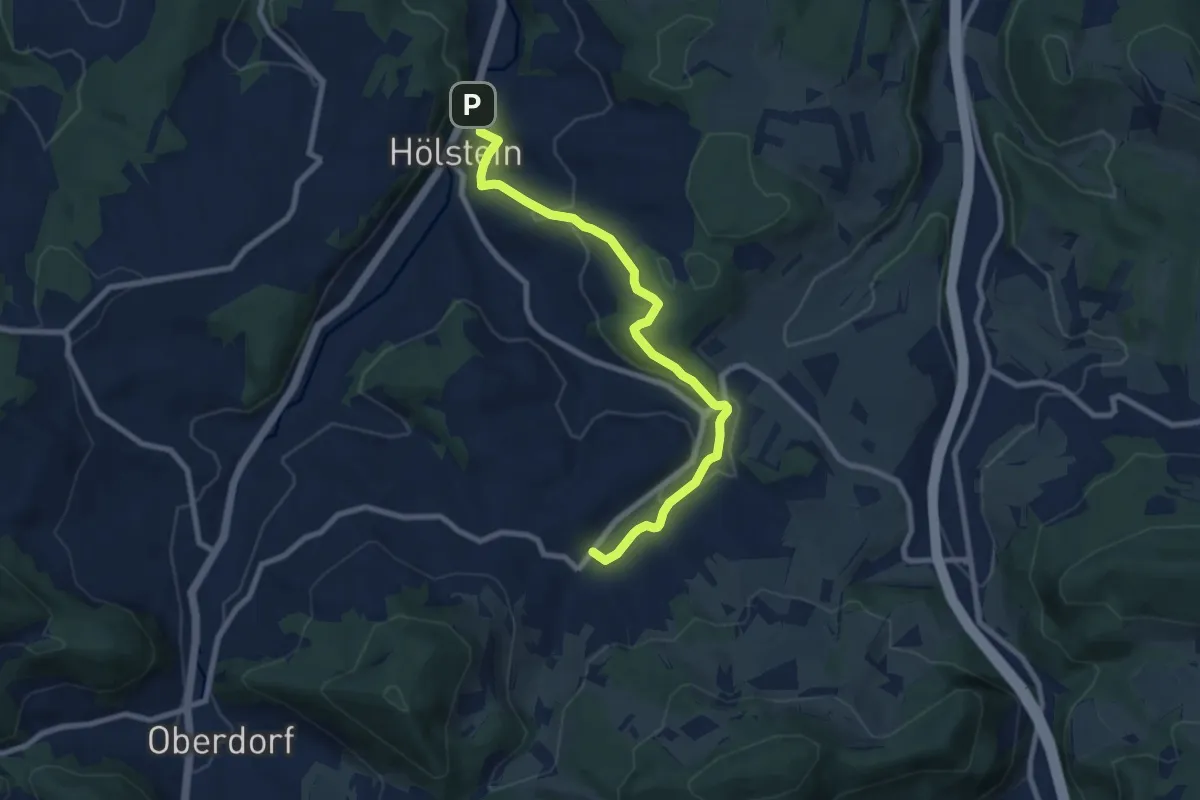
Medium · Trail
Hölstein-Bennwil
8.5 km · ↑ 310 m · 2 h 41 min · 14 km away
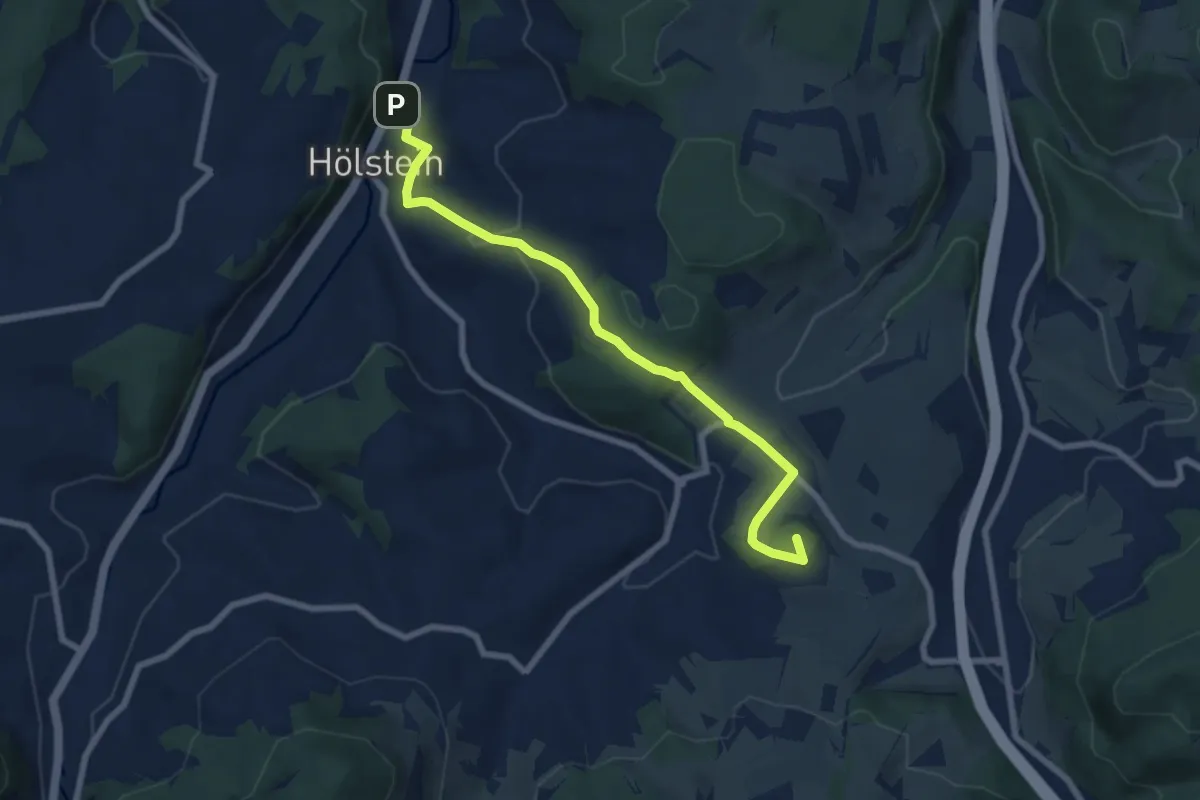
Easy · Summit
Ober Diegten - Hölstein
7.5 km · ↑ 307 m · 2 h 26 min · 14 km away
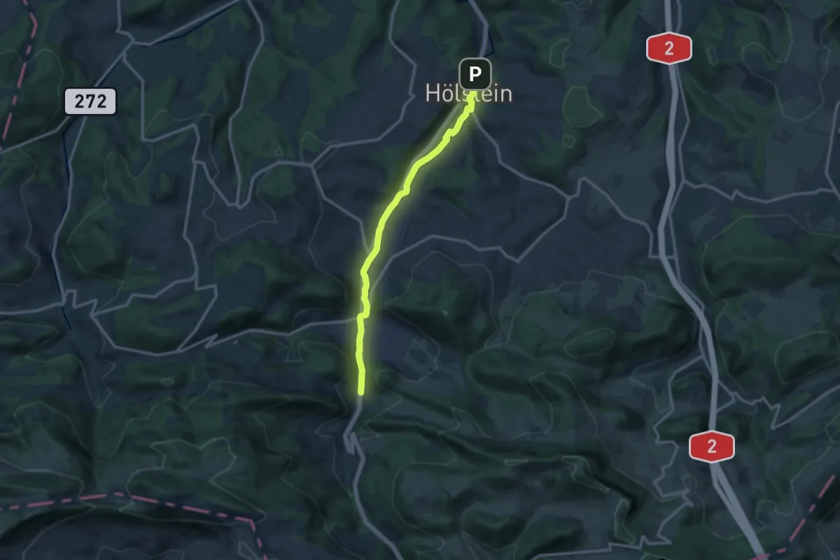
Medium · Trail
Hölstein-Langenbruck
11.0 km · ↑ 193 m · 3 h 1 min · 14 km away
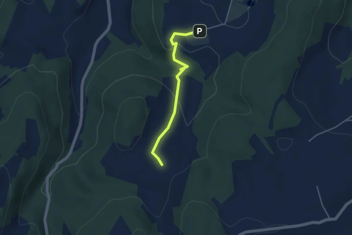
Medium · Trail
Arxhof – Wildenstein
2.8 km · ↑ 77 m · 50 min · 14 km away
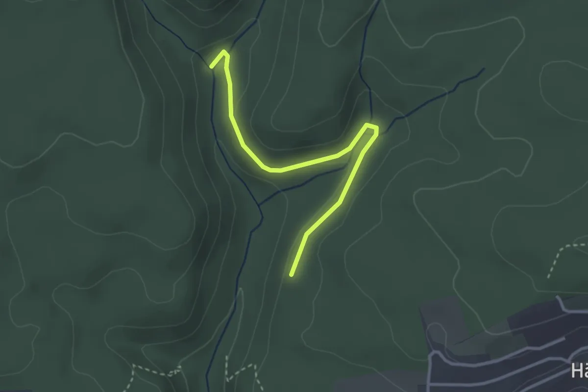
Easy · Trail
Siegenbachmündung - Lochhalde
2.9 km · ↑ 54 m · 48 min · 14 km away
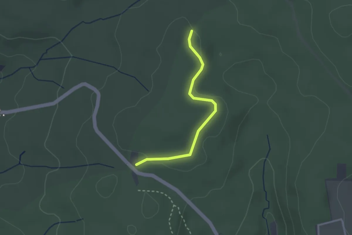
Easy · Trail
Wolfsloch - Wittlinger Höhe
2.3 km · ↑ 14 m · 34 min · 14 km away
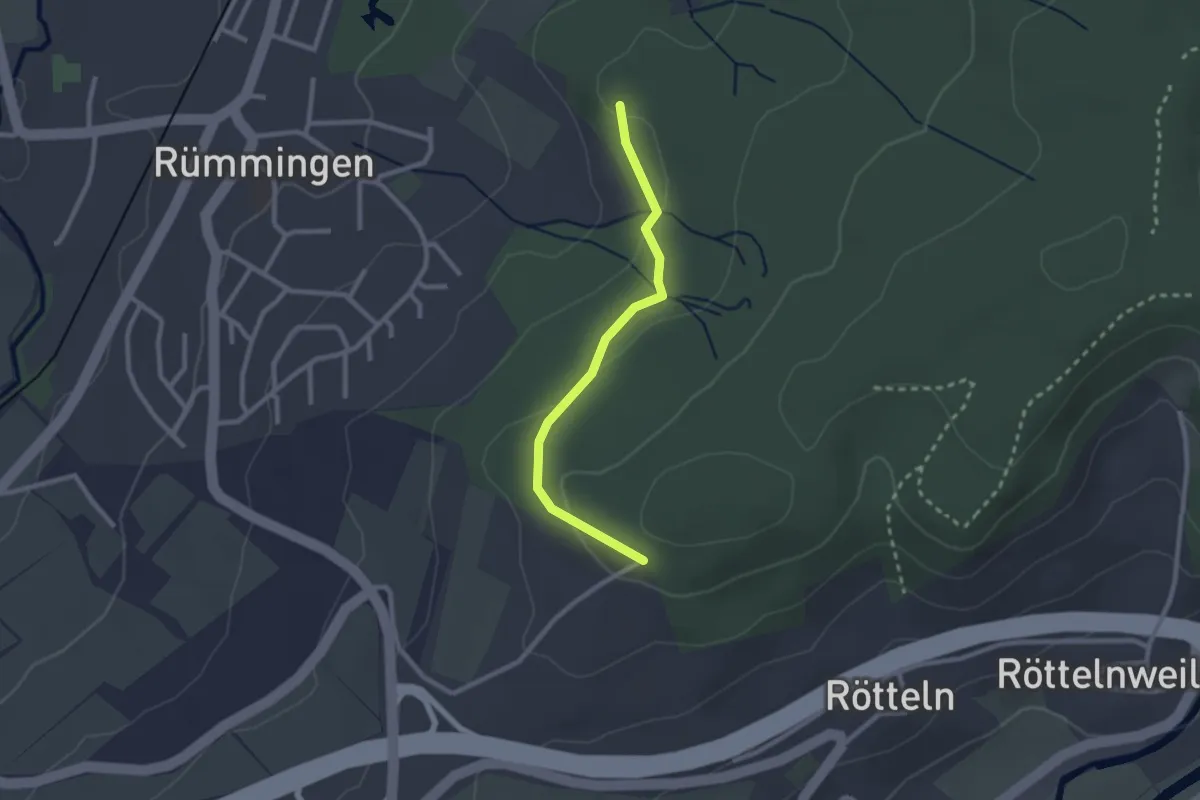
Easy · Trail
Rüttematt - Fohrenbuck
2.3 km · ↑ 59 m · 40 min · 14 km away