Trails near Rüti ZH
534 hikes starting within 15 km, nearest first.
Nearest first, page 11 of 12
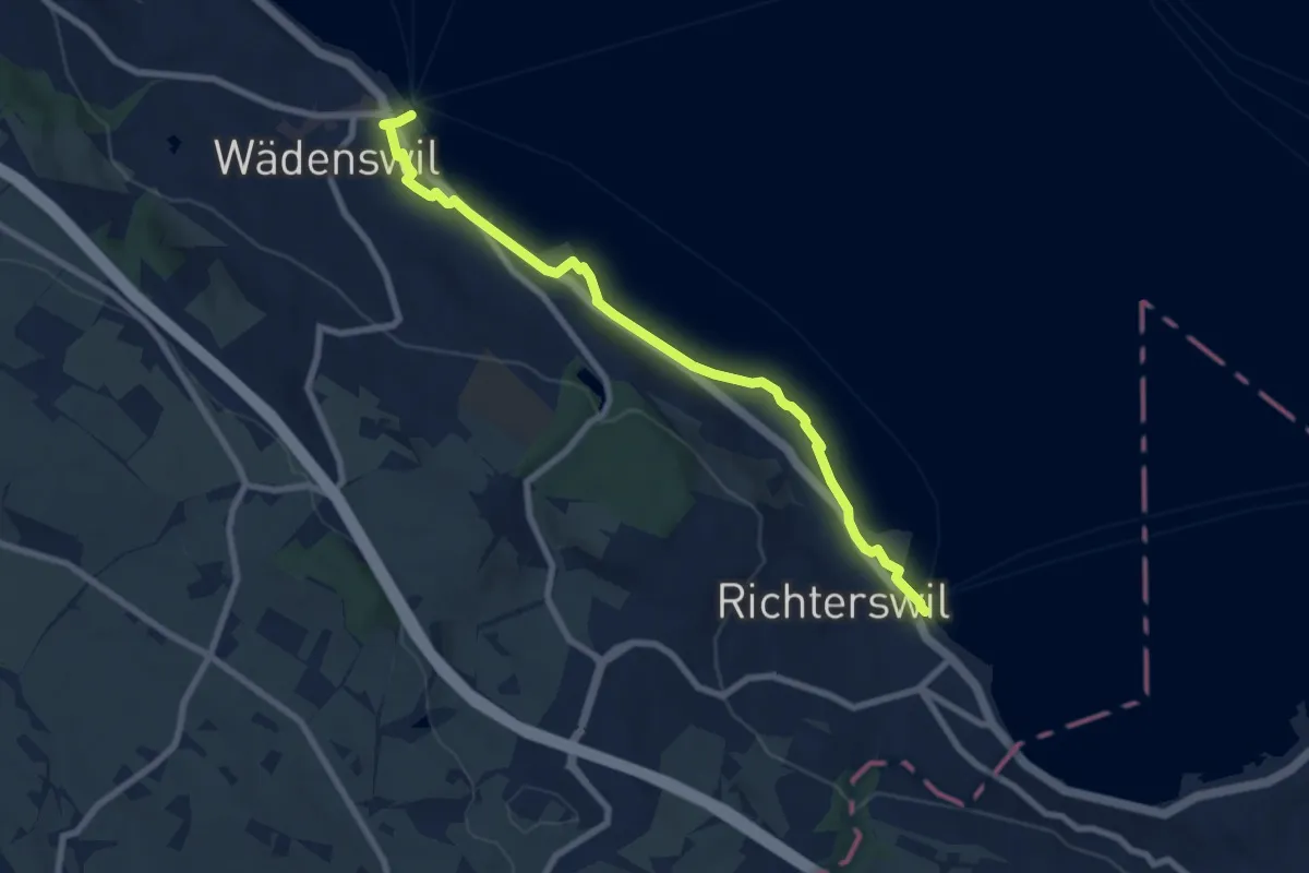
Medium · Trail
Wädenswil - Richterswil (Seeweg)
8.1 km · ↑ 76 m · 2 h 5 min · 14 km away
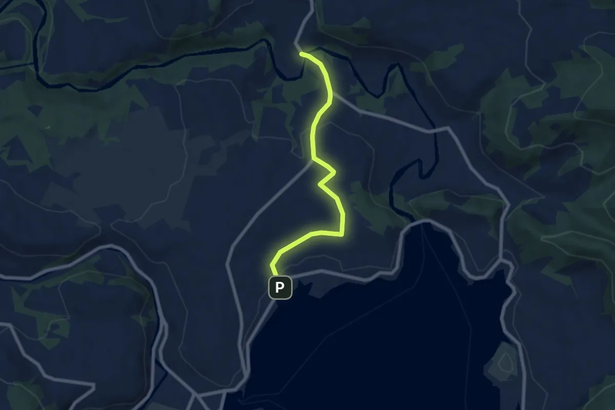
Easy · Trail
Strandbad Einsiedeln - Tüfelsbrugg
5.7 km · ↑ 99 m · 1 h 33 min · 14 km away
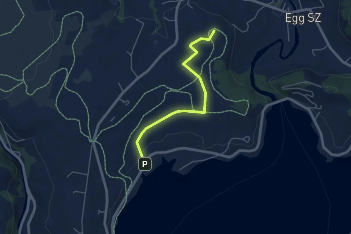
Easy · Summit
Egg - Strandbad Einsiedeln
3.9 km · ↑ 28 m · 58 min · 14 km away
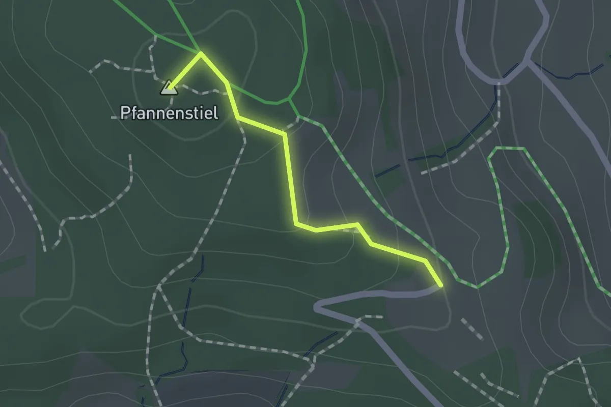
Easy · Summit
Guldener Höchi – Pfannenstiel Hochwacht
1.2 km · ↑ 50 m · 23 min · 14 km away
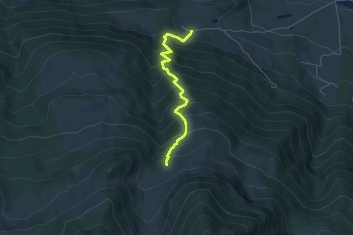
Medium · Trail
Skihaus – Ob. Tafleten
3.9 km · ↑ 475 m · 1 h 57 min · 14 km away
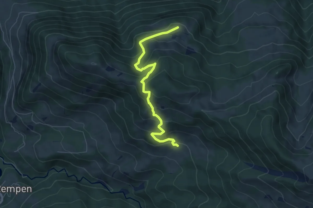
Medium · Trail
Tostel – Billmeschwändi
6.5 km · ↑ 407 m · 2 h 25 min · 14 km away
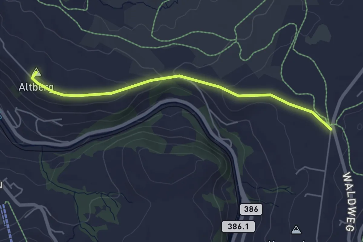
Easy · Summit
Galgenchappeli - Altberg
4.2 km · ↑ 70 m · 1 h 8 min · 14 km away
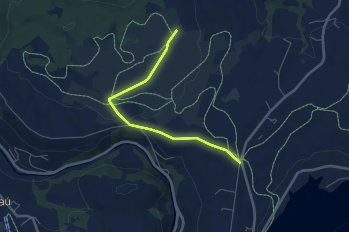
Easy · Trail
Galgenchappeli - Schwantenau
4.5 km · ↑ 50 m · 1 h 11 min · 14 km away
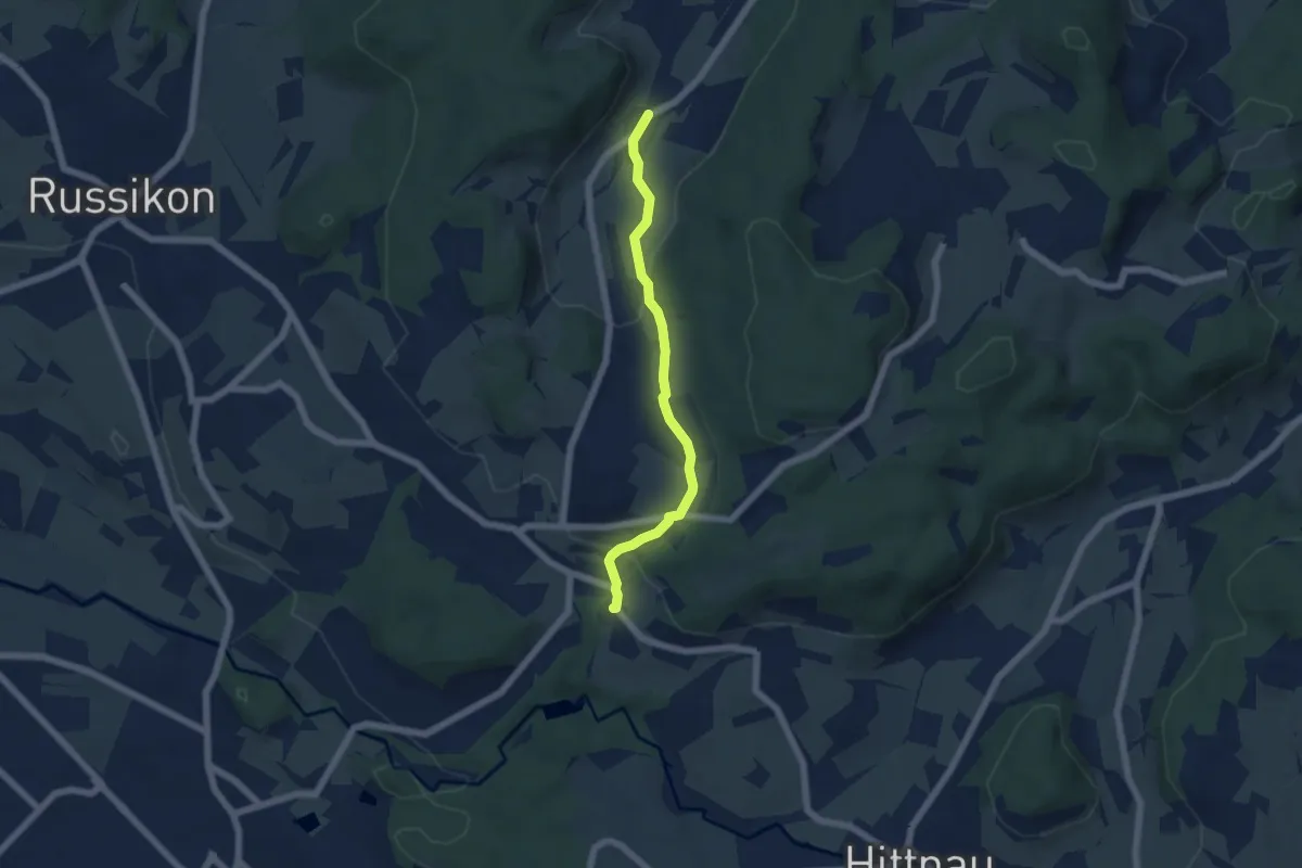
Easy · Trail
Gündisau – Wallikon
5.1 km · ↑ 150 m · 1 h 31 min · 14 km away
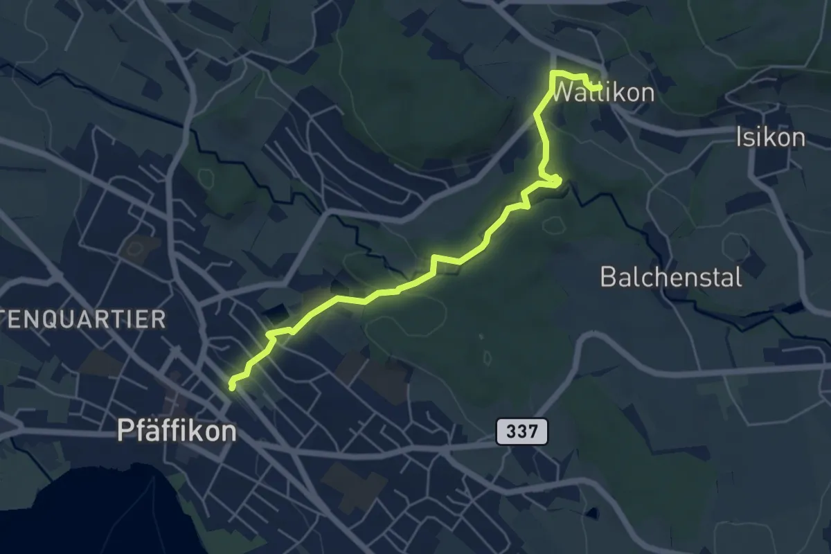
Easy · Trail
Wallikon – Pfäffikon
5.3 km · ↑ 133 m · 1 h 33 min · 14 km away
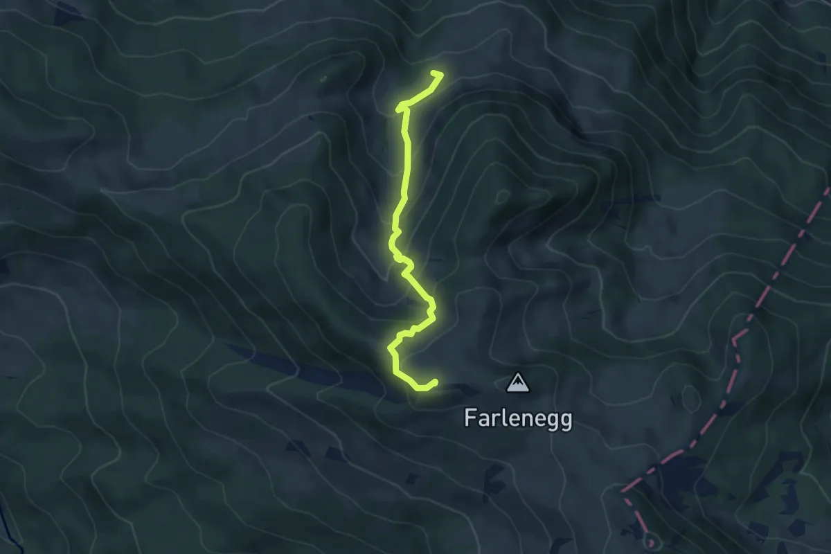
Medium · Summit
Lauihöchi – Skihaus
4.3 km · ↑ 356 m · 1 h 47 min · 14 km away
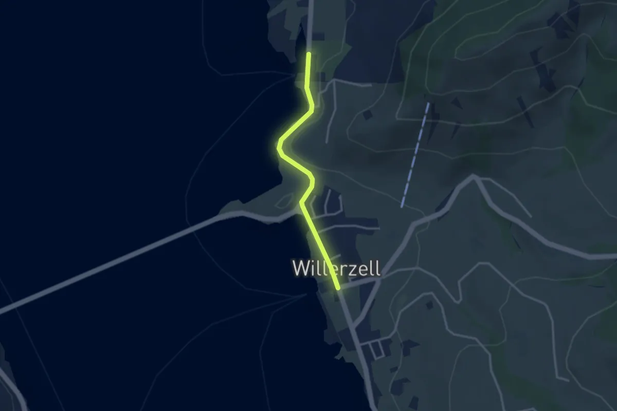
Easy · Trail
Willerzell - Büel (Grüen Aff)
2.5 km · ↑ 31 m · 40 min · 14 km away
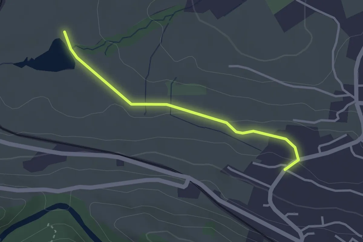
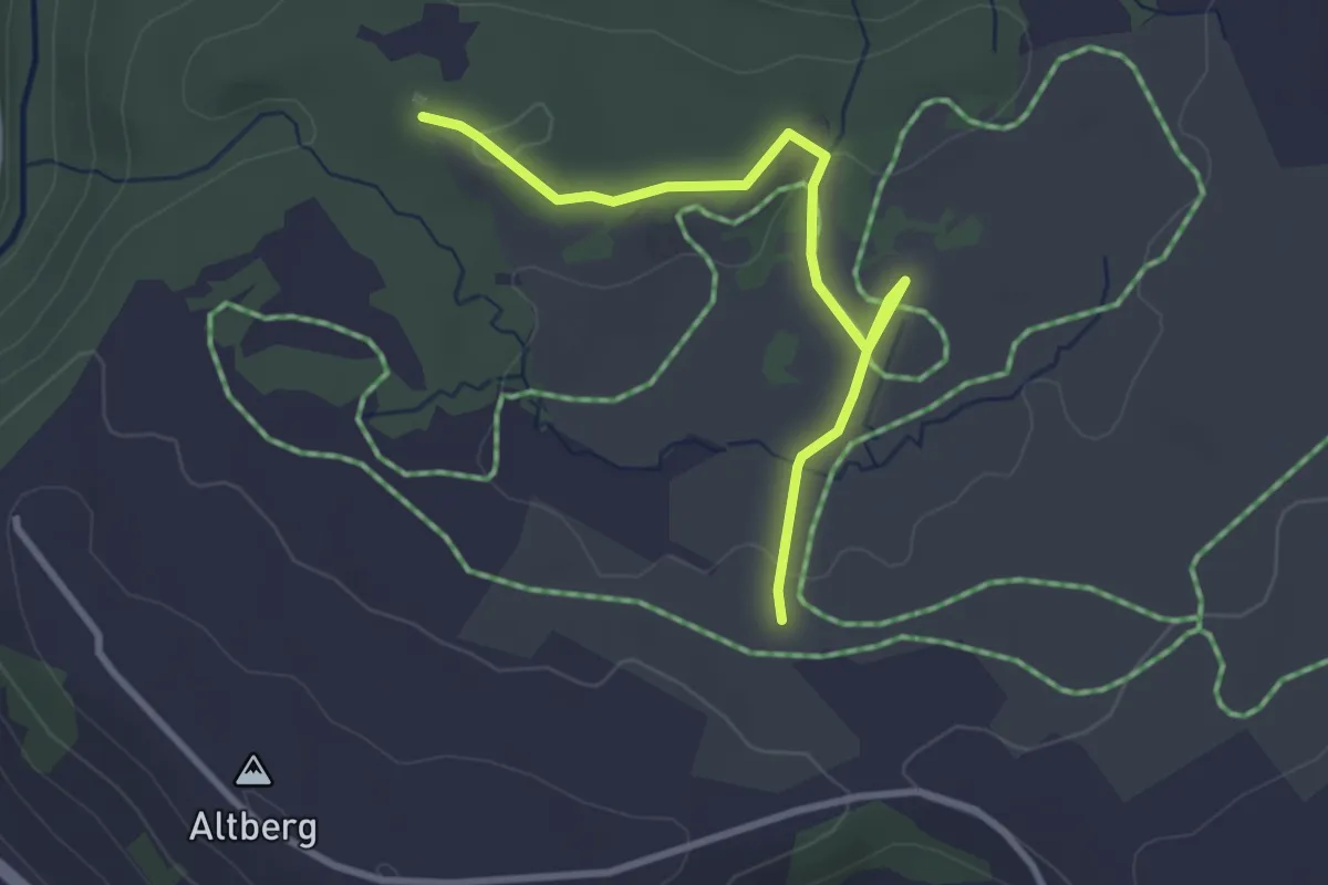
Easy · Trail
Freyenweijer - Äsch
2.7 km · ↑ 45 m · 44 min · 14 km away
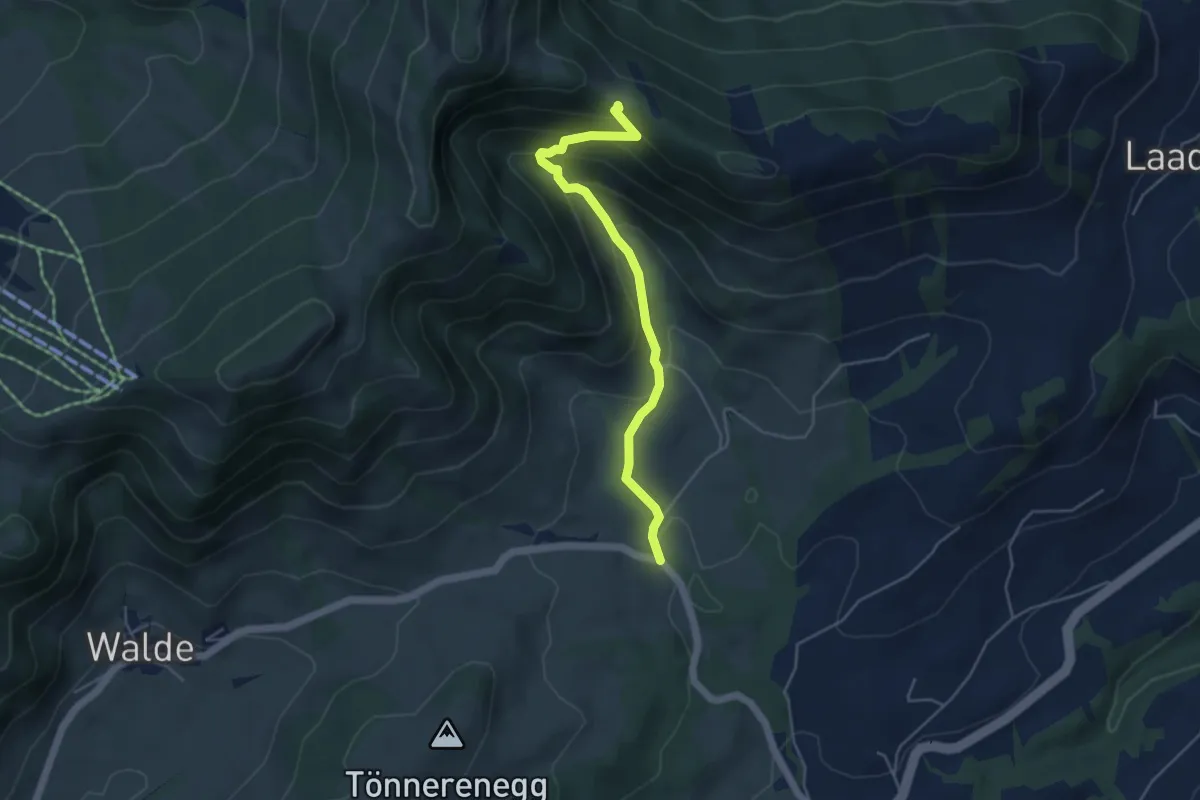
Easy · Trail
Schwantenau
3.1 km · ↑ 33 m · 47 min · 14 km away
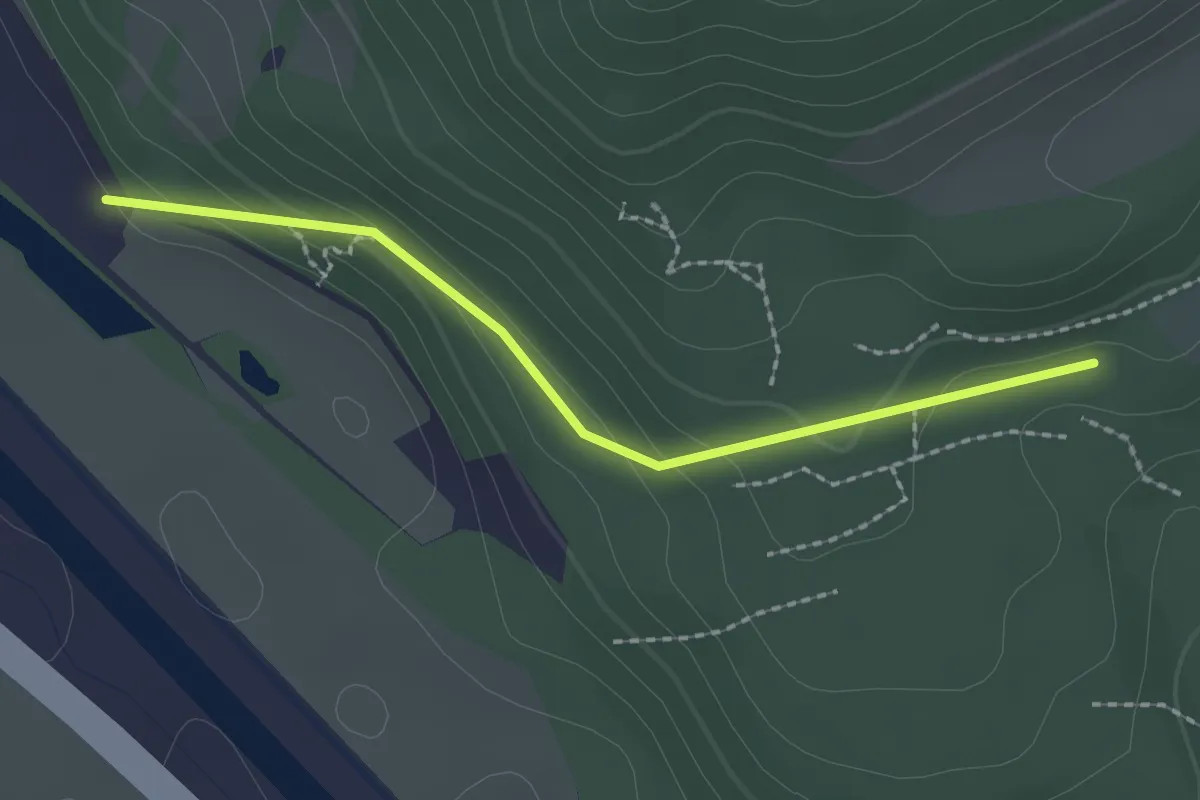
Medium · Trail
Untere Tweralp-Bodenwis
4.5 km · ↑ 306 m · 1 h 43 min · 14 km away
Easy · Trail
Mösli – Nesslenboden
2.0 km · ↑ 90 m · 40 min · 14 km away
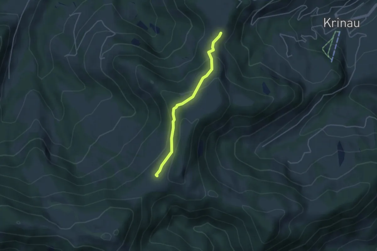
Easy · Cabin
Unter Alpli - Schwämmli
3.3 km · ↑ 142 m · 1 h 6 min · 14 km away
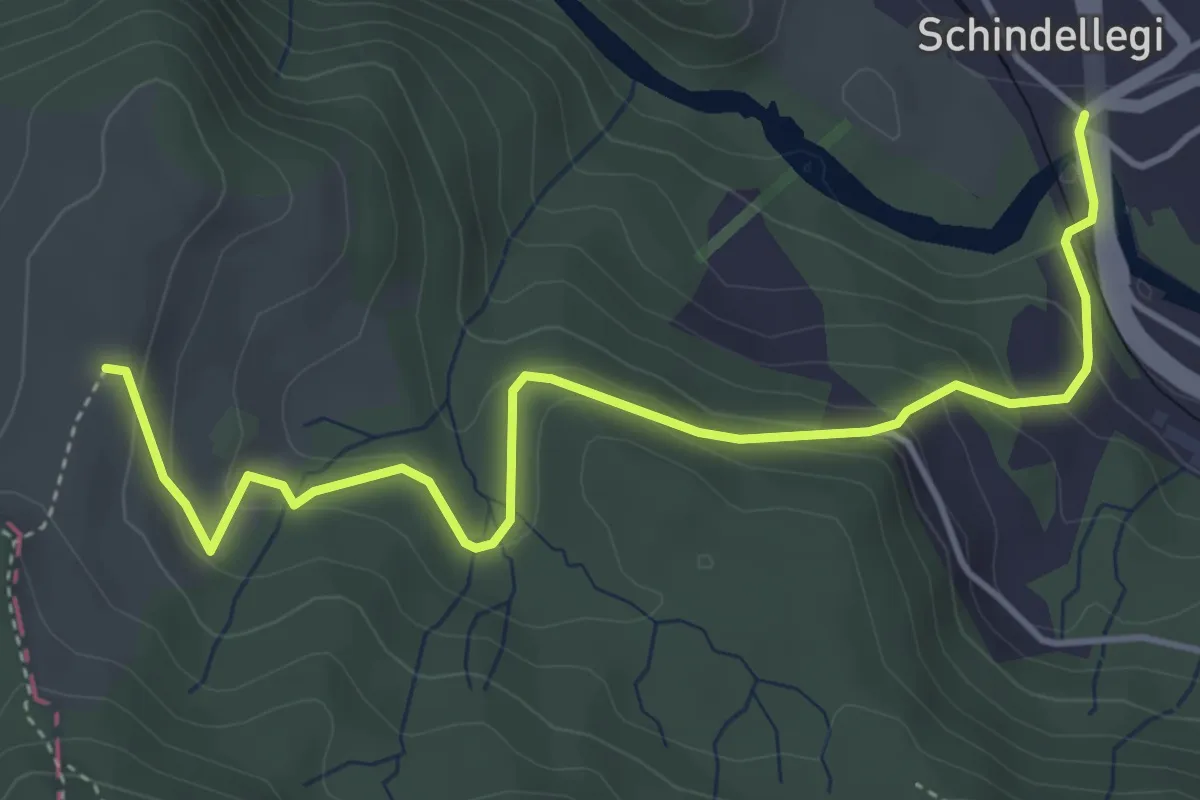
Easy · Trail
Schindellegi - Rossberg
4.9 km · ↑ 284 m · 1 h 46 min · 14 km away
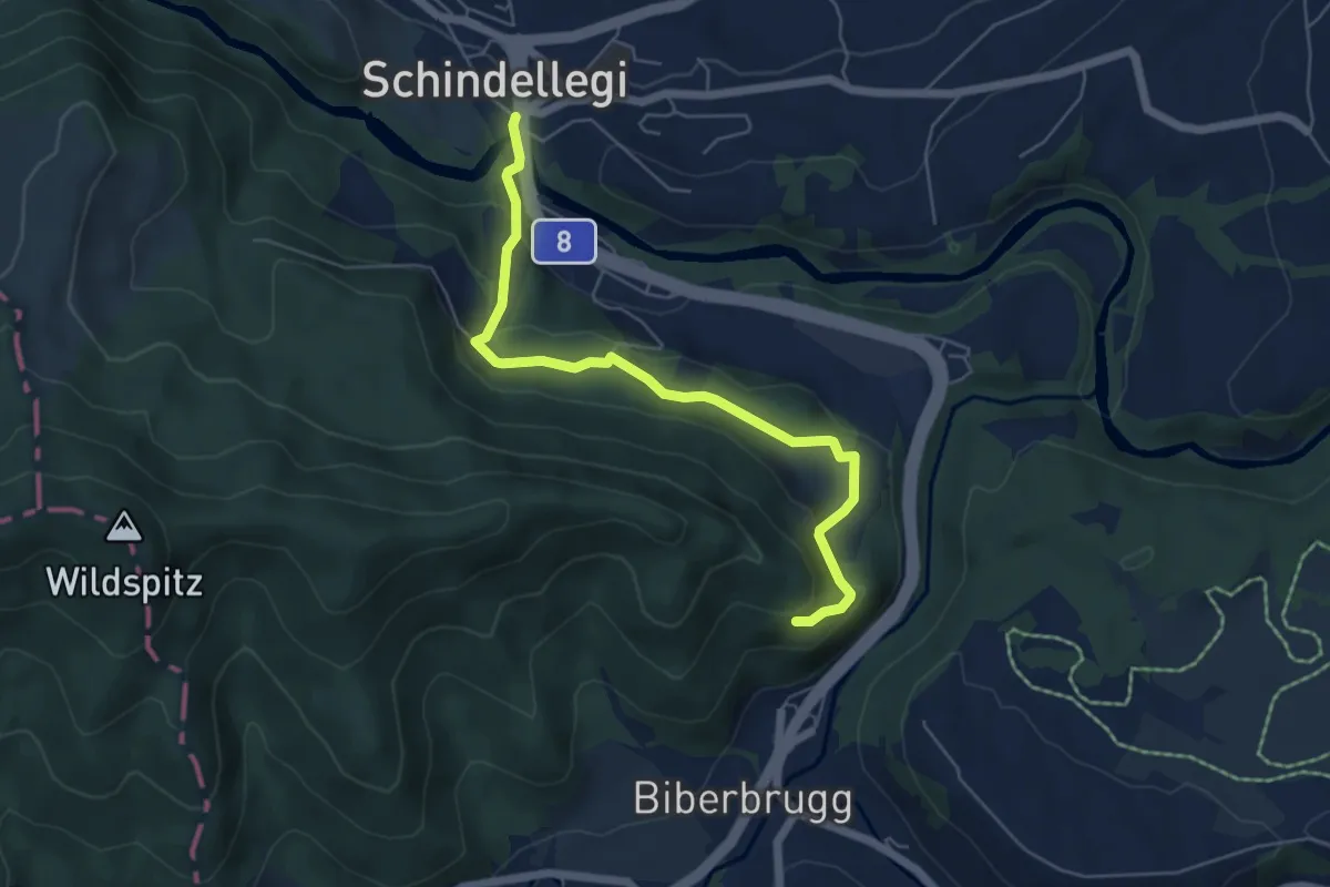
Easy · Trail
Schindellegi – Fuseli
5.7 km · ↑ 251 m · 1 h 53 min · 14 km away
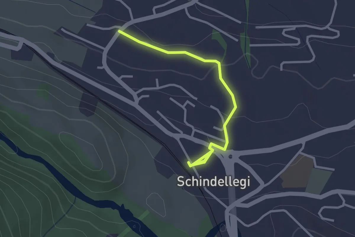
Easy · Trail
Schindellegi (Bhf) - Äsch
2.6 km · ↑ 77 m · 47 min · 14 km away
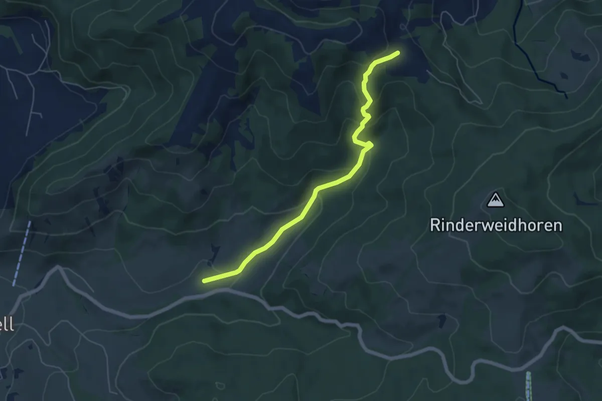
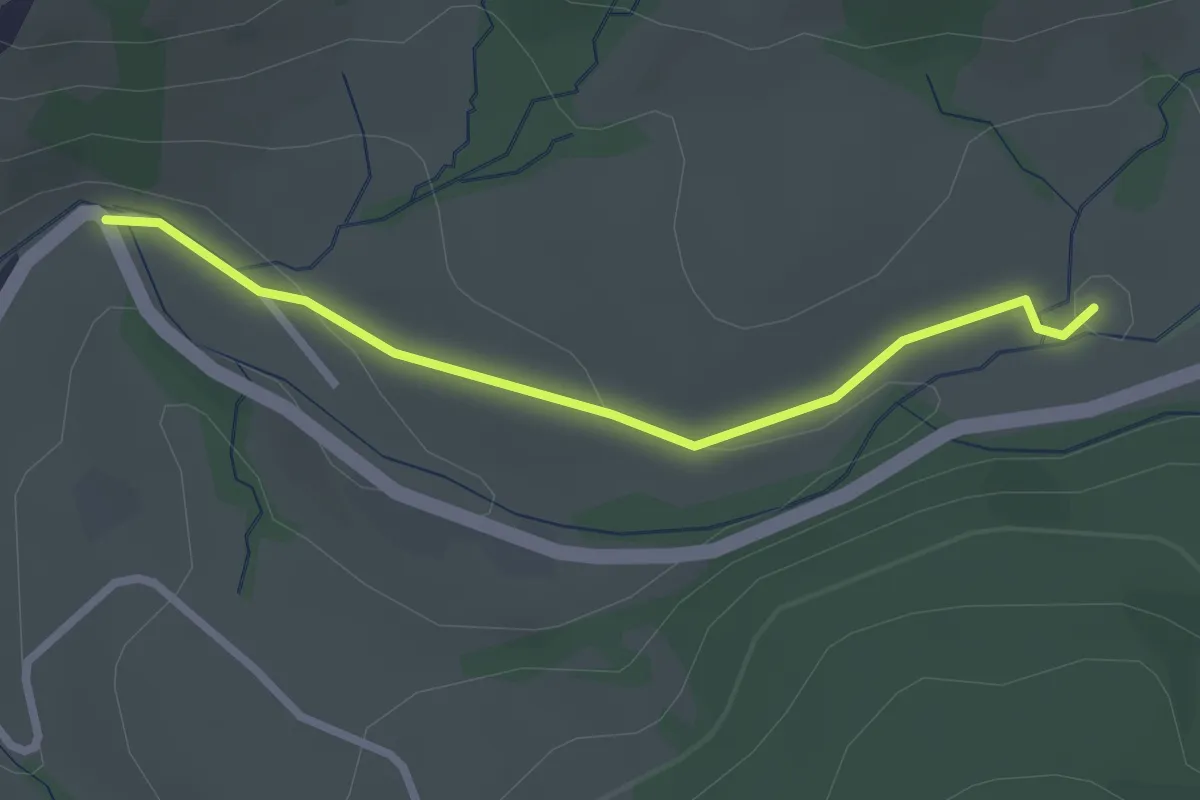
Easy · Trail
Rickental - Rindereggli
5.4 km · ↑ 256 m · 1 h 50 min · 14 km away
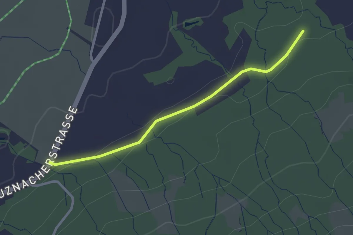
Easy · Trail
Langblätz - Rickental
2.4 km · ↑ 48 m · 40 min · 14 km away
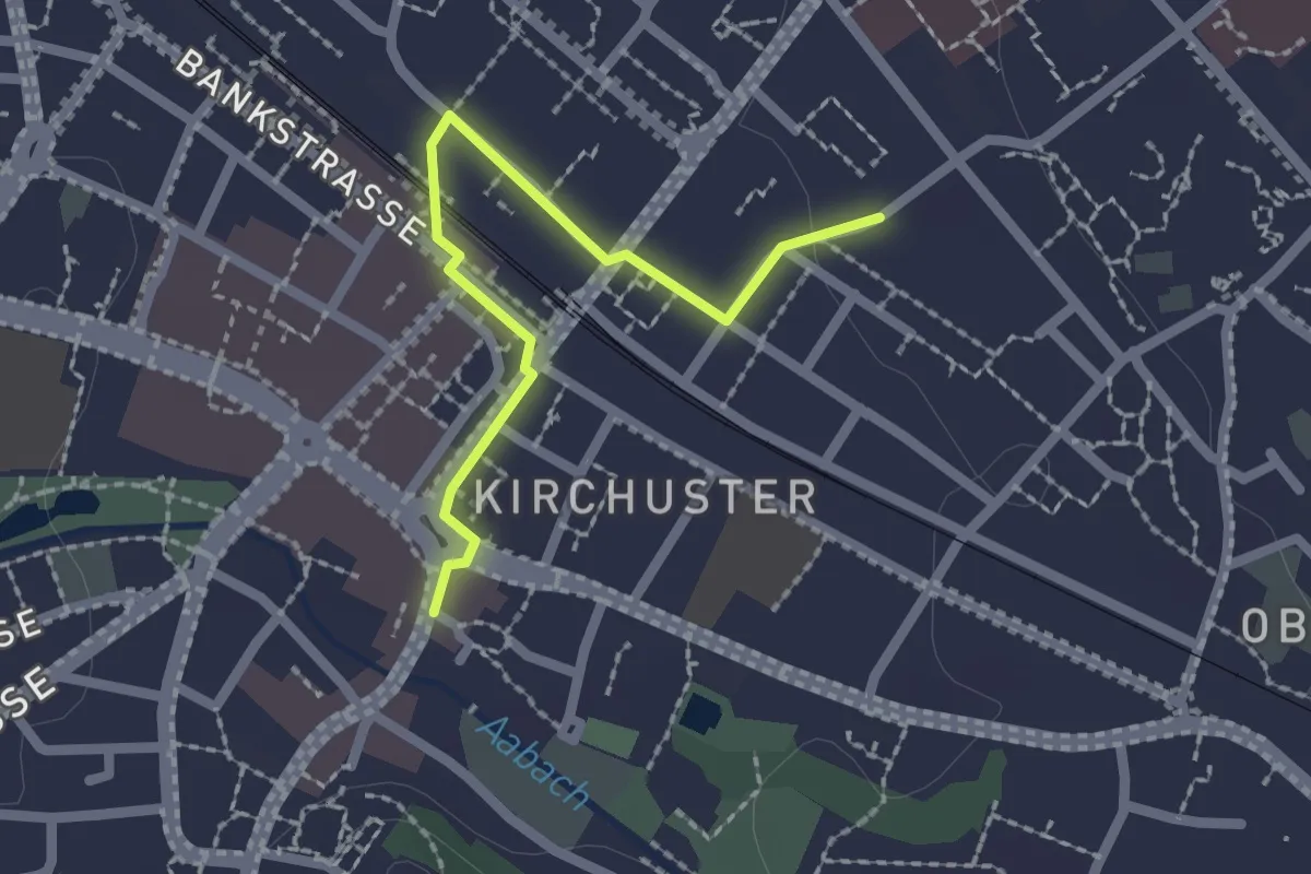
Easy · Trail
Unt. Stosslegi - Eich? - fixme
2.2 km · ↑ 29 m · 35 min · 14 km away
Easy · Trail
Industriepfad Zürcher Oberland - Abstecher Uster
2.0 km · ↑ 4 m · 29 min · 14 km away
Easy · Trail
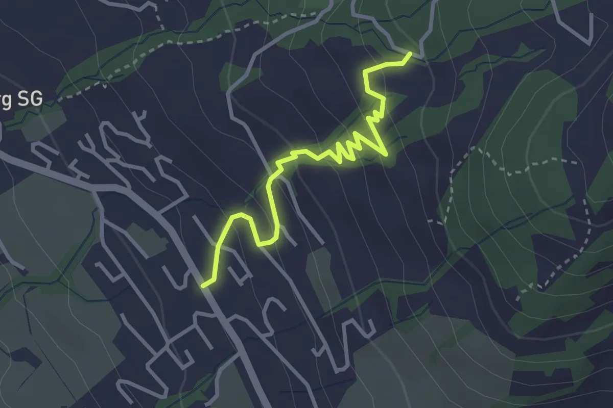
Ottenhofen - Rämel? - fixme
2.9 km · ↑ 179 m · 1 h 5 min · 14 km away
Easy · Trail
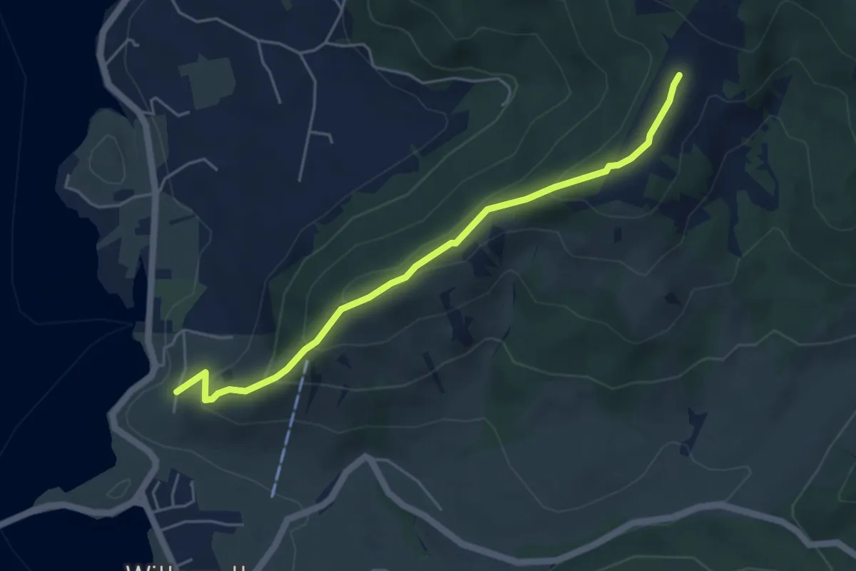
Sunnberg - Summerig
4.7 km · ↑ 284 m · 1 h 44 min · 14 km away
Easy · Summit
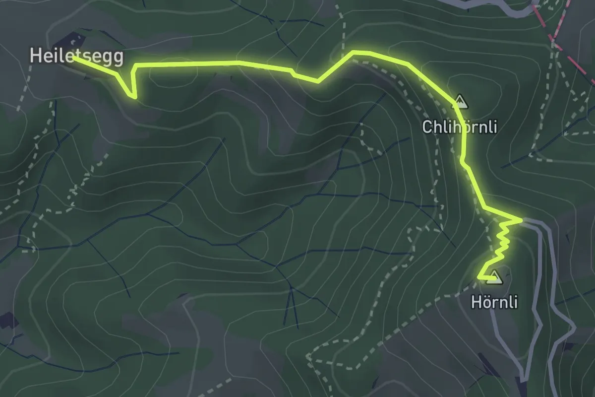
Heiletsegg – Hörnli
3.4 km · ↑ 220 m · 1 h 17 min · 14 km away
Easy · Trail
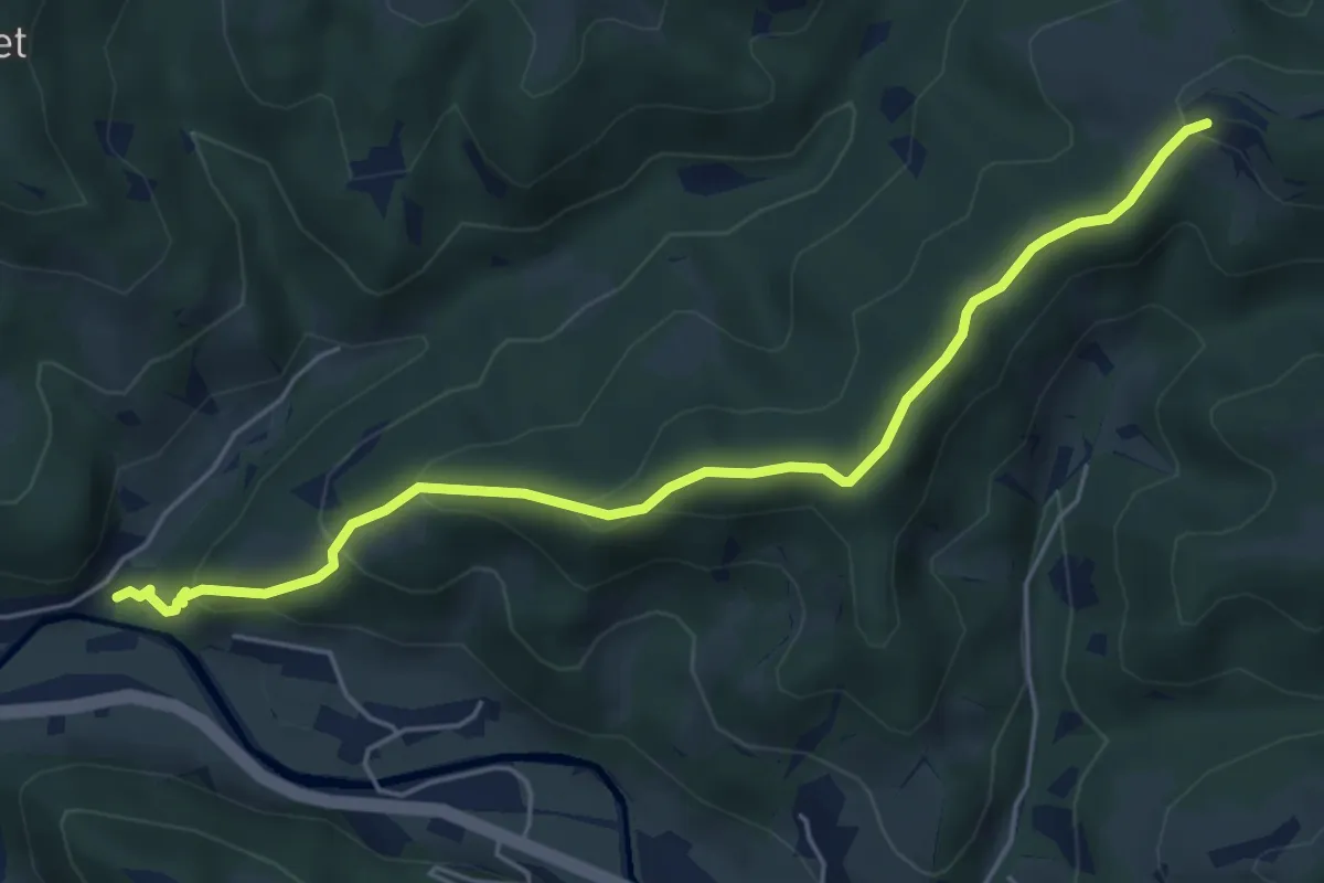
Tüfenbach – Heiletsegg
5.4 km · ↑ 277 m · 1 h 53 min · 14 km away
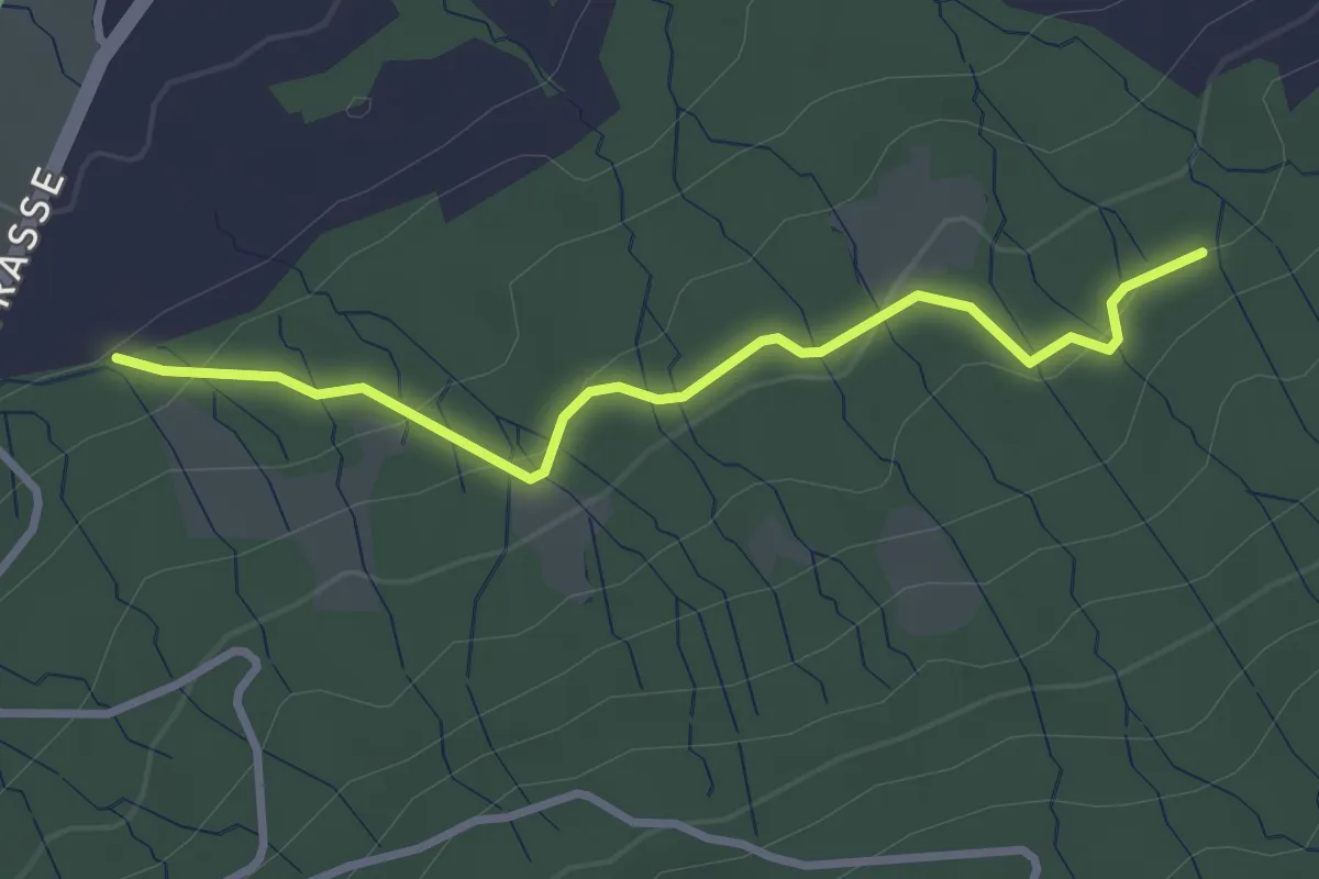
Easy · Trail
Ob. Stosslegi - Eich?`- fixme
2.9 km · ↑ 110 m · 56 min · 14 km away
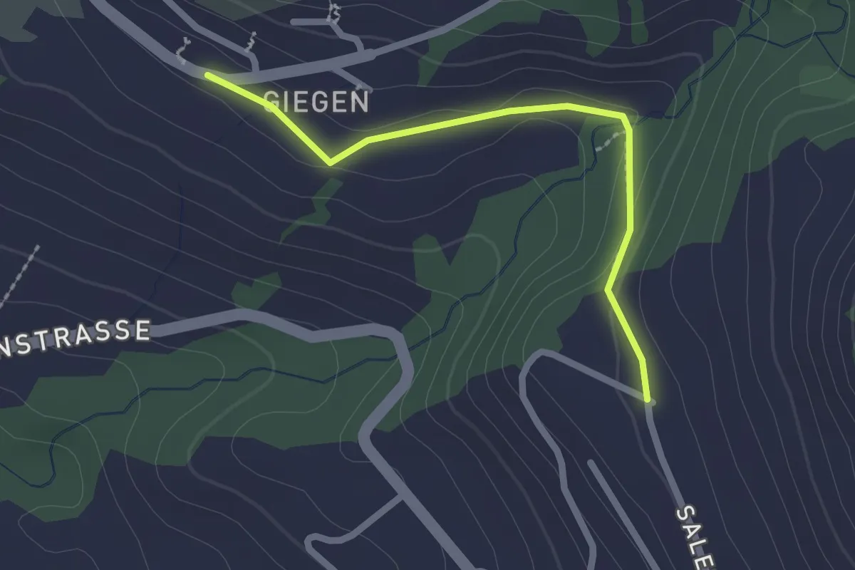
Easy · Trail
Gnippen – Giegen
2.0 km · ↑ 36 m · 33 min · 14 km away
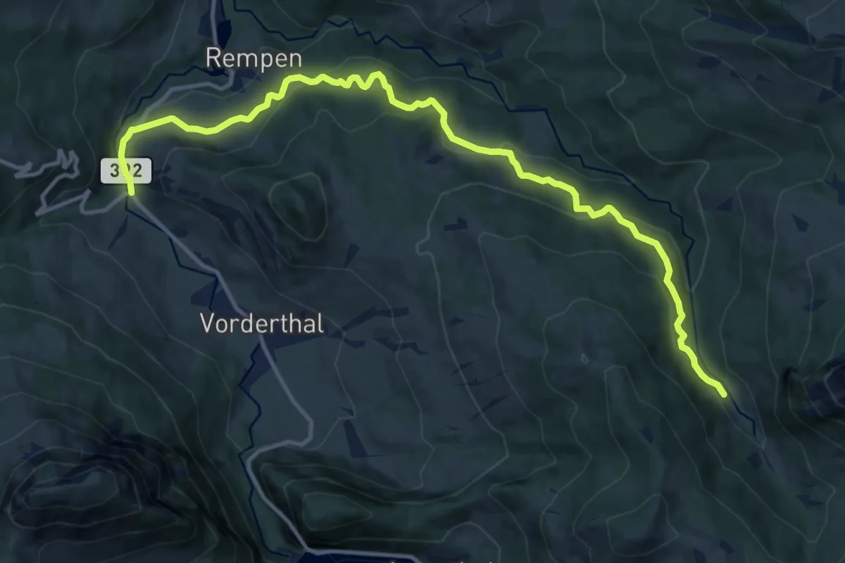
Medium · Trail
Sonne - Ramseli
13.7 km · ↑ 600 m · 4 h 32 min · 14 km away
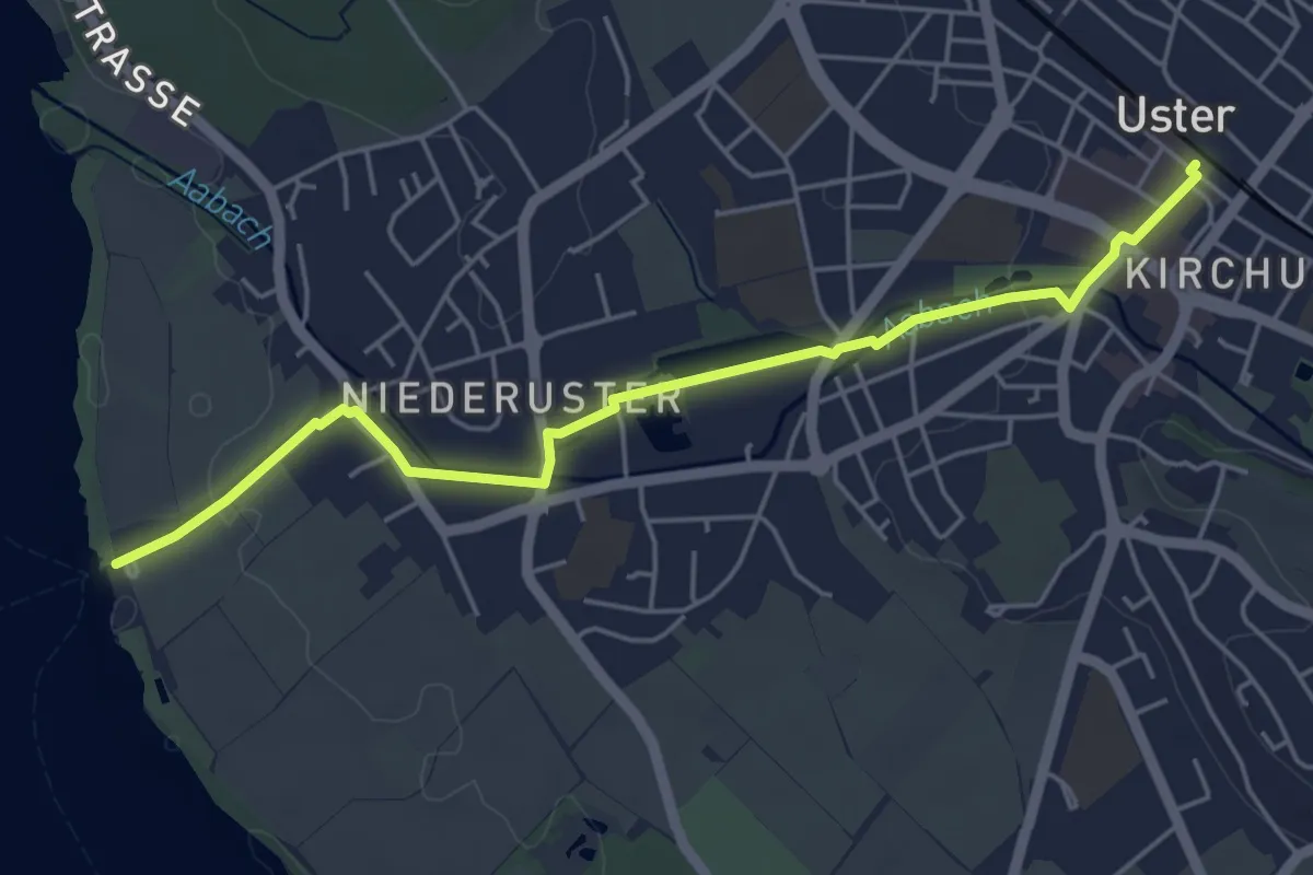
Easy · Trail
Uster – Niederuster
5.2 km · ↑ 30 m · 1 h 17 min · 14 km away
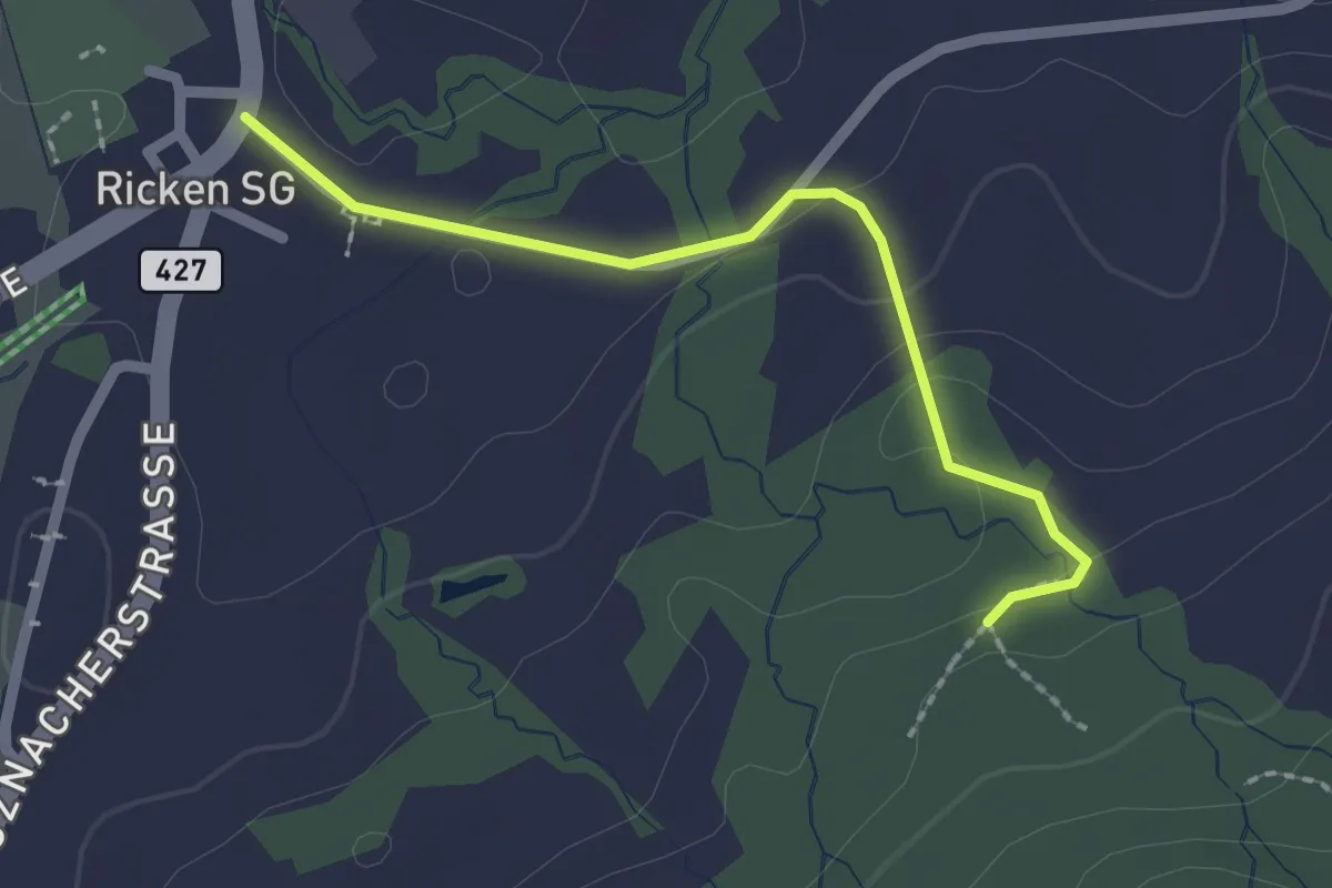
Easy · Trail
Unt. Stosslegi - Ricken
2.0 km · ↑ 40 m · 33 min · 15 km away
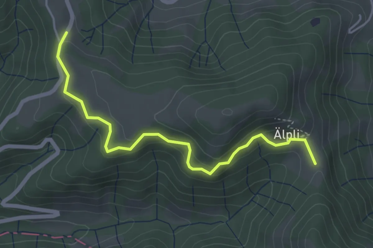
Easy · Trail
Hulftegg-Aelpli
4.1 km · ↑ 219 m · 1 h 26 min · 15 km away
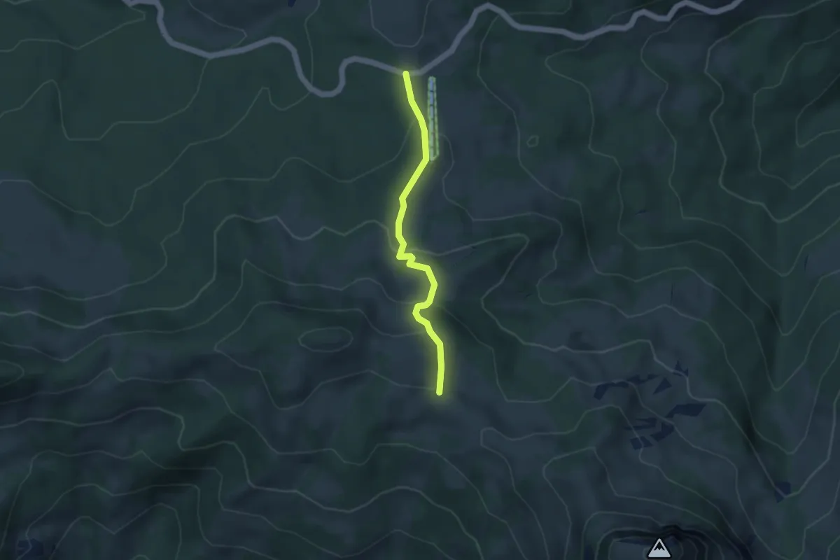
Easy · Trail
Sattelegg - Egg
3.5 km · ↑ 171 m · 1 h 12 min · 15 km away
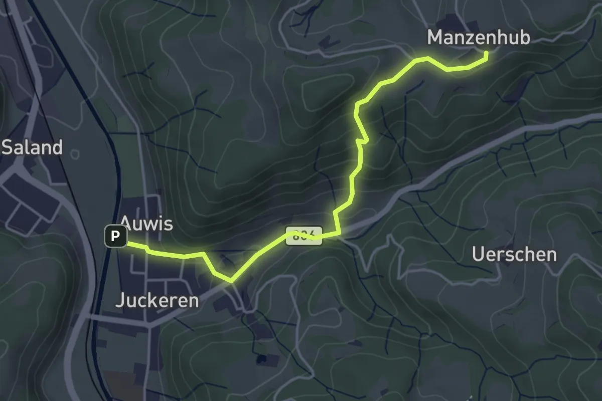
Easy · Trail
Manzenhueb – Auwis
4.3 km · ↑ 224 m · 1 h 30 min · 15 km away
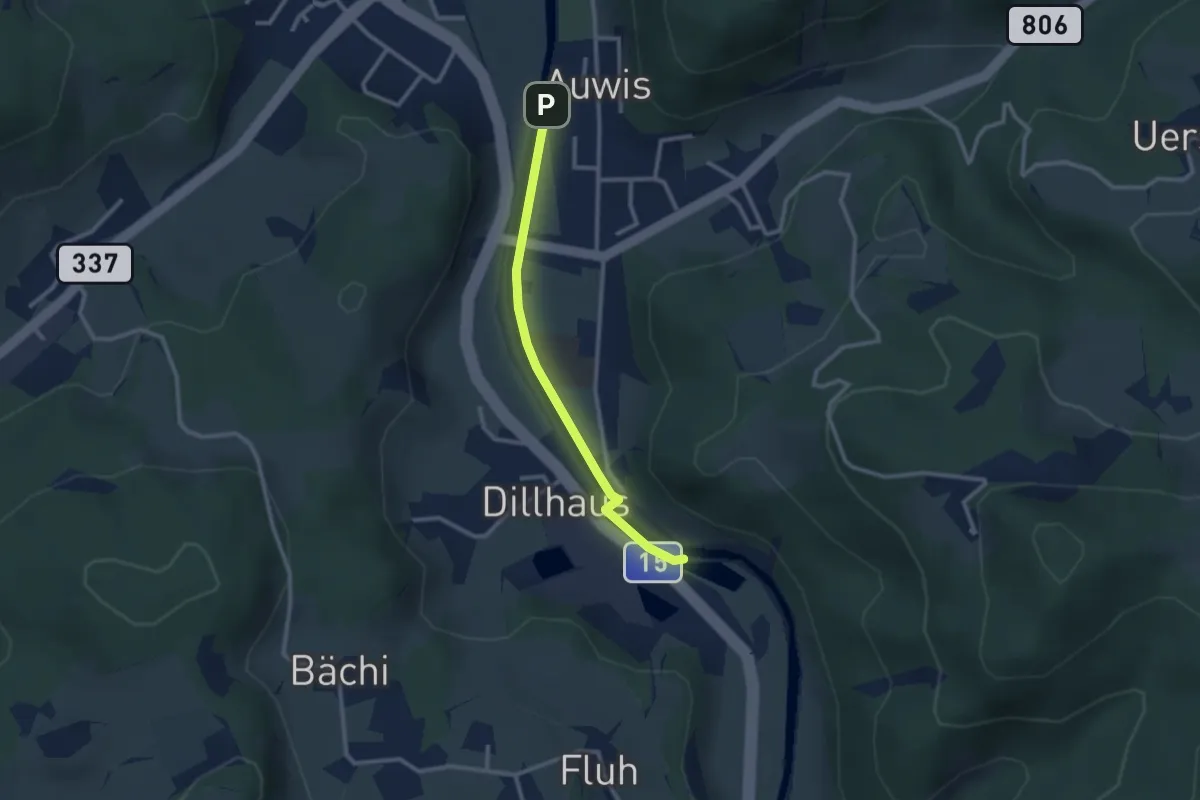
Easy · Trail
Rittwegweiher – Auwis
2.4 km · ↑ 13 m · 36 min · 15 km away
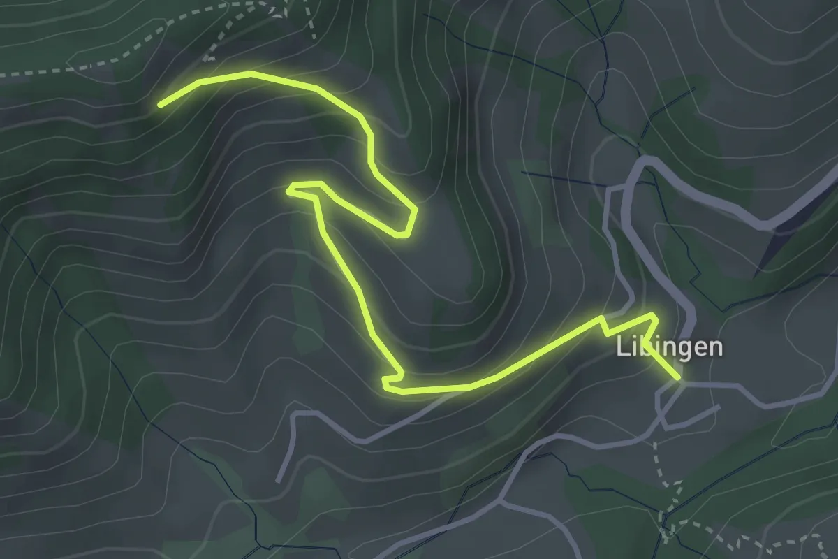
Medium · Trail
Libingen – Steinweid Ost
4.0 km · ↑ 337 m · 1 h 41 min · 15 km away
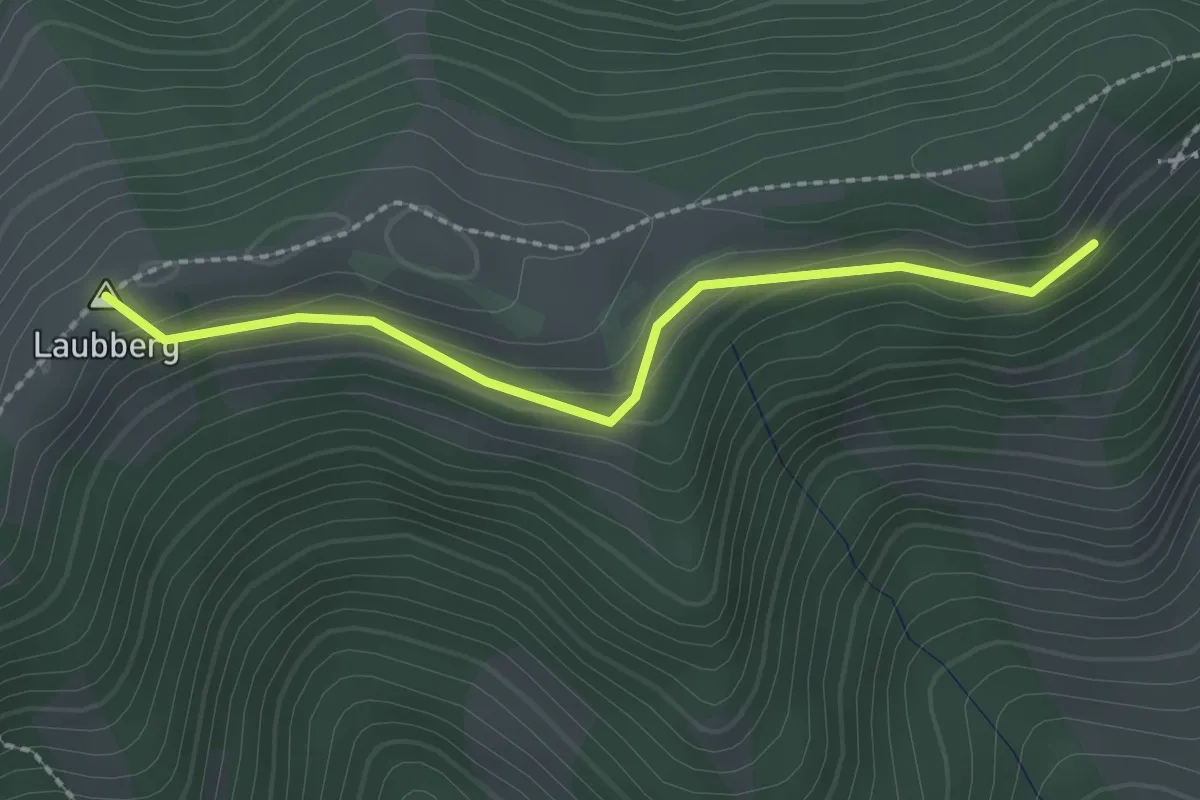
Easy · Summit
Steinweid Ost – Meiersalp
2.1 km · ↑ 114 m · 45 min · 15 km away
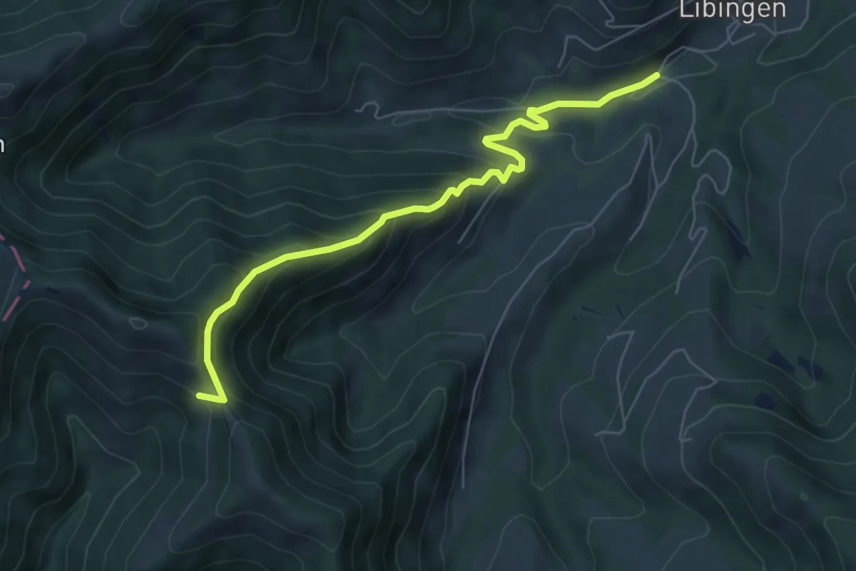
Medium · Trail
Schindelberg – Jonenholz
6.2 km · ↑ 444 m · 2 h 26 min · 15 km away
Easy · Trail
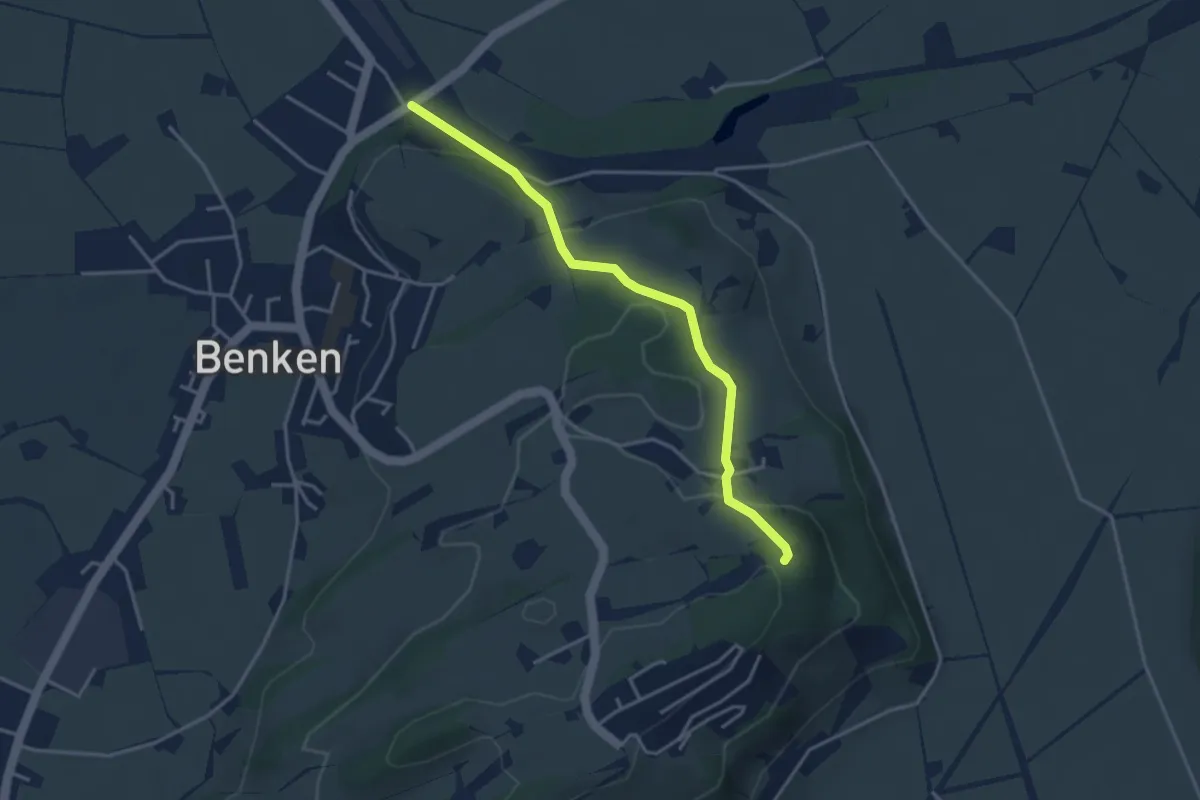
Wanderweg Maria Bildstein
3.5 km · ↑ 124 m · 1 h 6 min · 15 km away
Easy · Summit
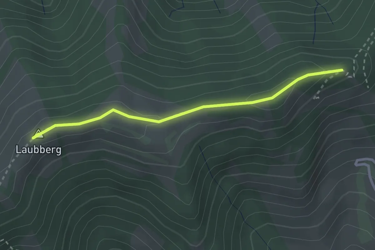
Oberstein – Laubberg Scheune
2.4 km · ↑ 52 m · 41 min · 15 km away
Easy · Trail
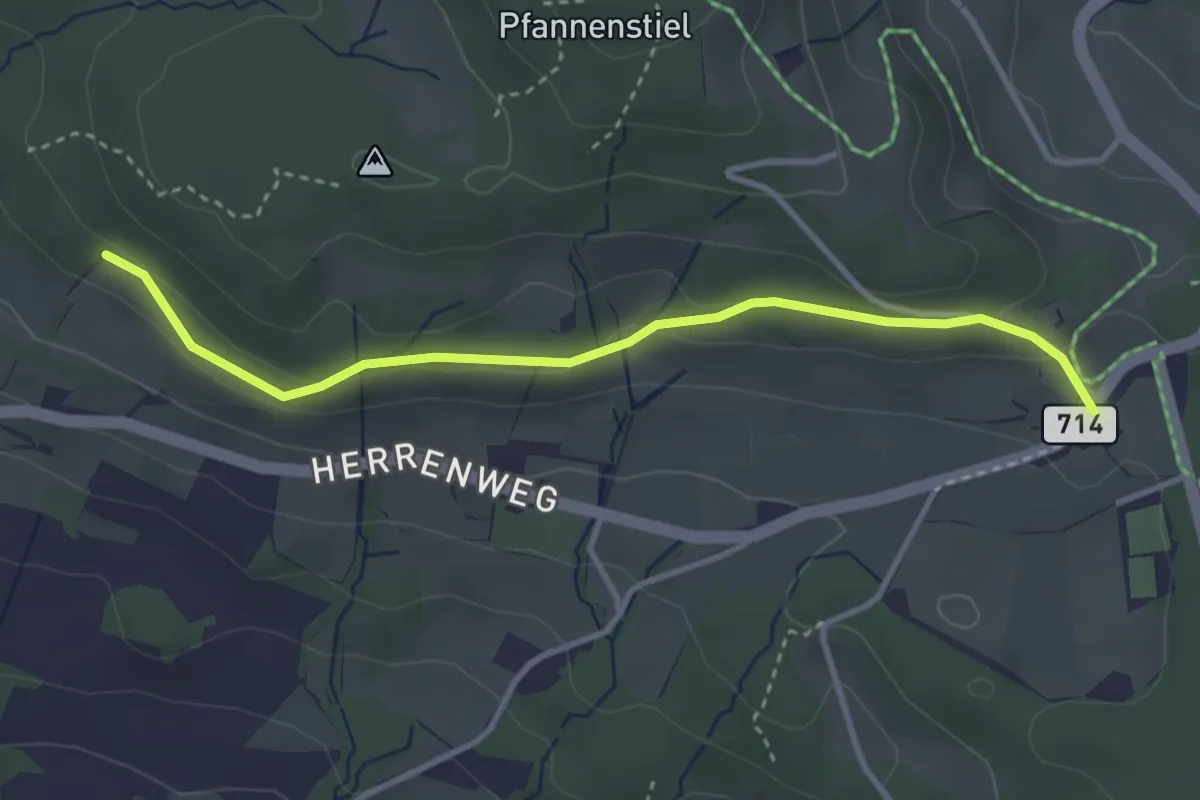
Eichhalden – Vorderpfannenstiel
3.4 km · ↑ 100 m · 1 h 1 min · 15 km away
Easy · Trail
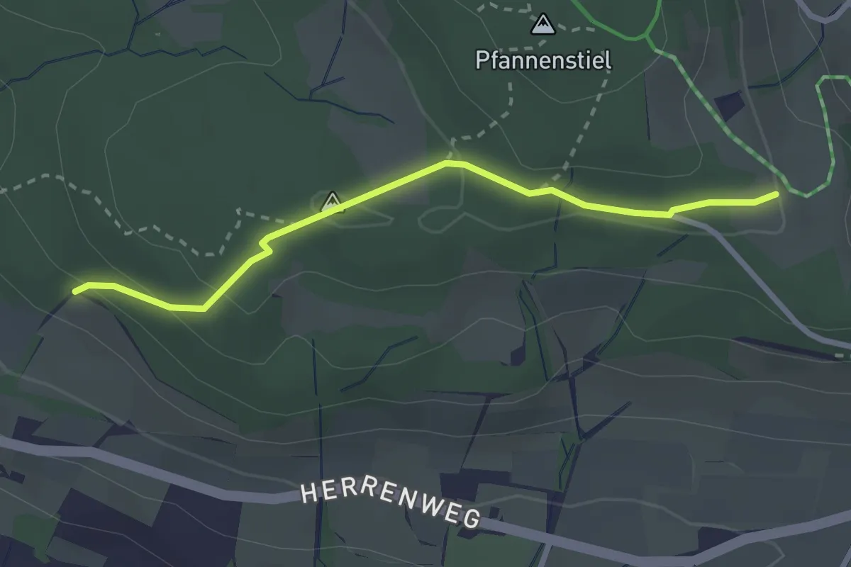
Eichhalden – Pfannenstiel Hochwacht
2.5 km · ↑ 87 m · 47 min · 15 km away
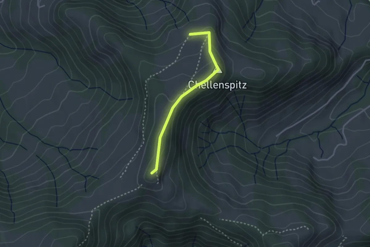
Easy · Summit
Ober Alpli – Alplisattel
2.5 km · ↑ 160 m · 56 min · 15 km away
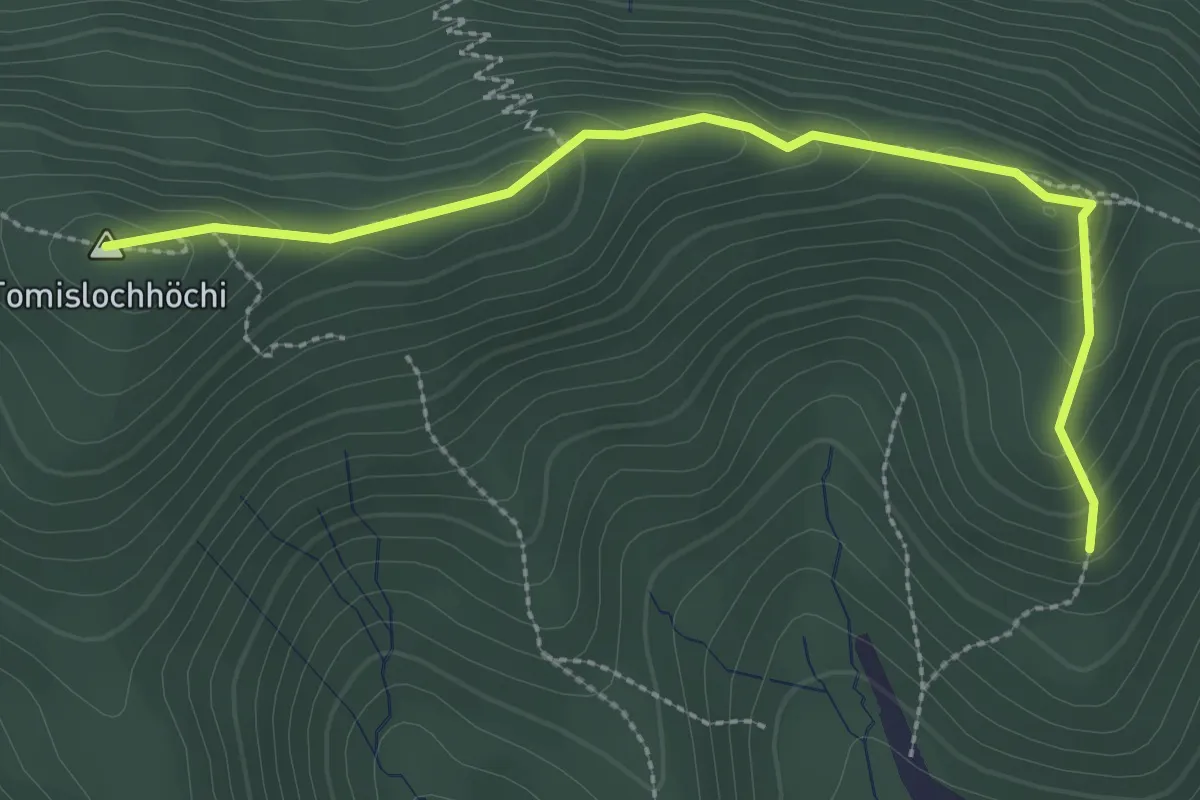
Easy · Summit
Chlimsen – Tomislochhöchi
3.0 km · ↑ 161 m · 1 h 3 min · 15 km away
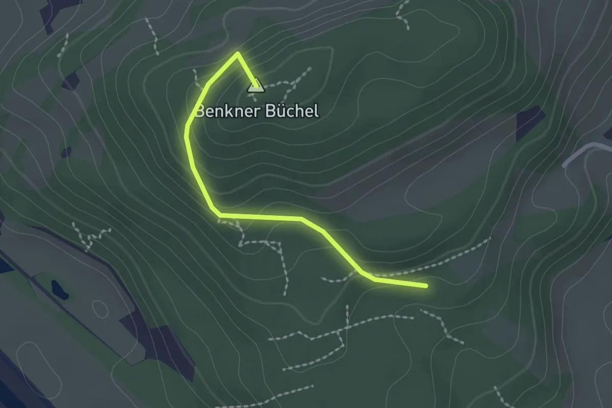
Easy · Summit
Schmitten – Nesslenboden
1.9 km · ↑ 99 m · 40 min · 15 km away
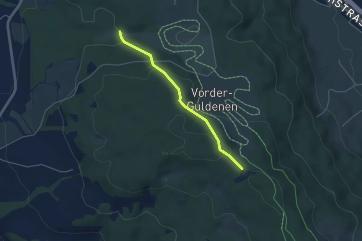
Easy · Trail
Chüelenmorgen – Guldener Höchi
3.3 km · ↑ 119 m · 1 h 2 min · 15 km away