Trails near Sarnen
375 hikes starting within 15 km, nearest first.
Nearest first, page 6 of 8
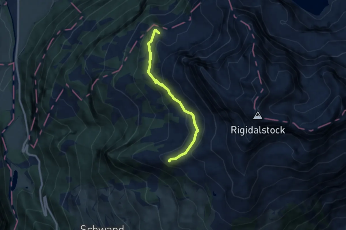
Medium · Trail
Walenalp – Sädelegg
5.4 km · ↑ 305 m · 1 h 57 min · 13 km away
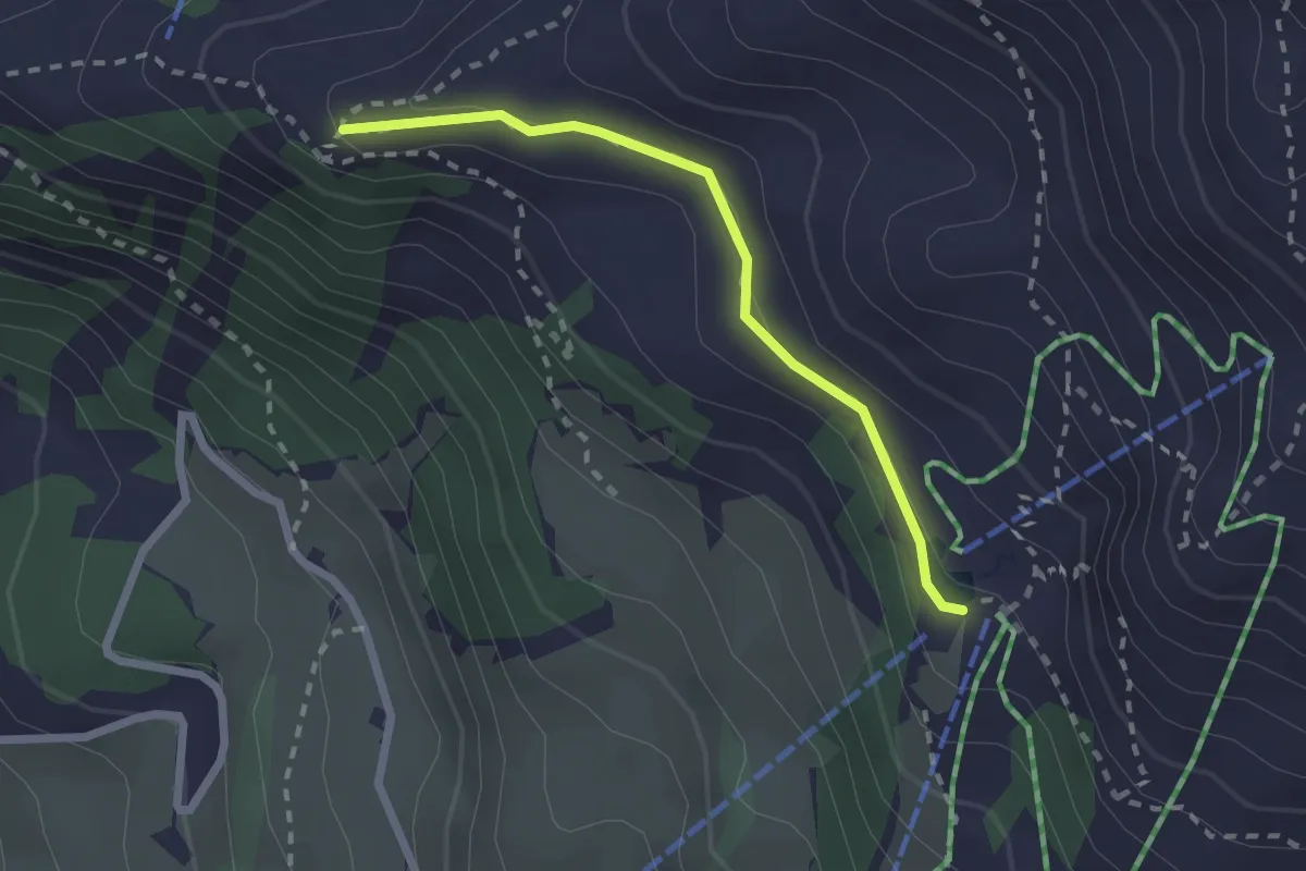
Medium · Cabin
Sädelegg – Brunnihütte
2.1 km · ↑ 44 m · 35 min · 13 km away
Easy · Trail
Risene – Chrumbachwiti/Kriens
2.6 km · ↑ 187 m · 1 h 1 min · 13 km away
Easy · Trail
Buholz – Bruederhuse
2.6 km · ↑ 153 m · 56 min · 13 km away
Easy · Trail
Himmelrich - Bruderhuse
2.3 km · ↑ 155 m · 53 min · 13 km away
Easy · Trail
Krienseregg – Bruederhuse
4.0 km · ↑ 253 m · 1 h 29 min · 13 km away
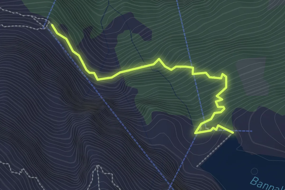
Medium · Cabin
Firnhütte - Bannalpsee
3.0 km · ↑ 276 m · 1 h 19 min · 13 km away
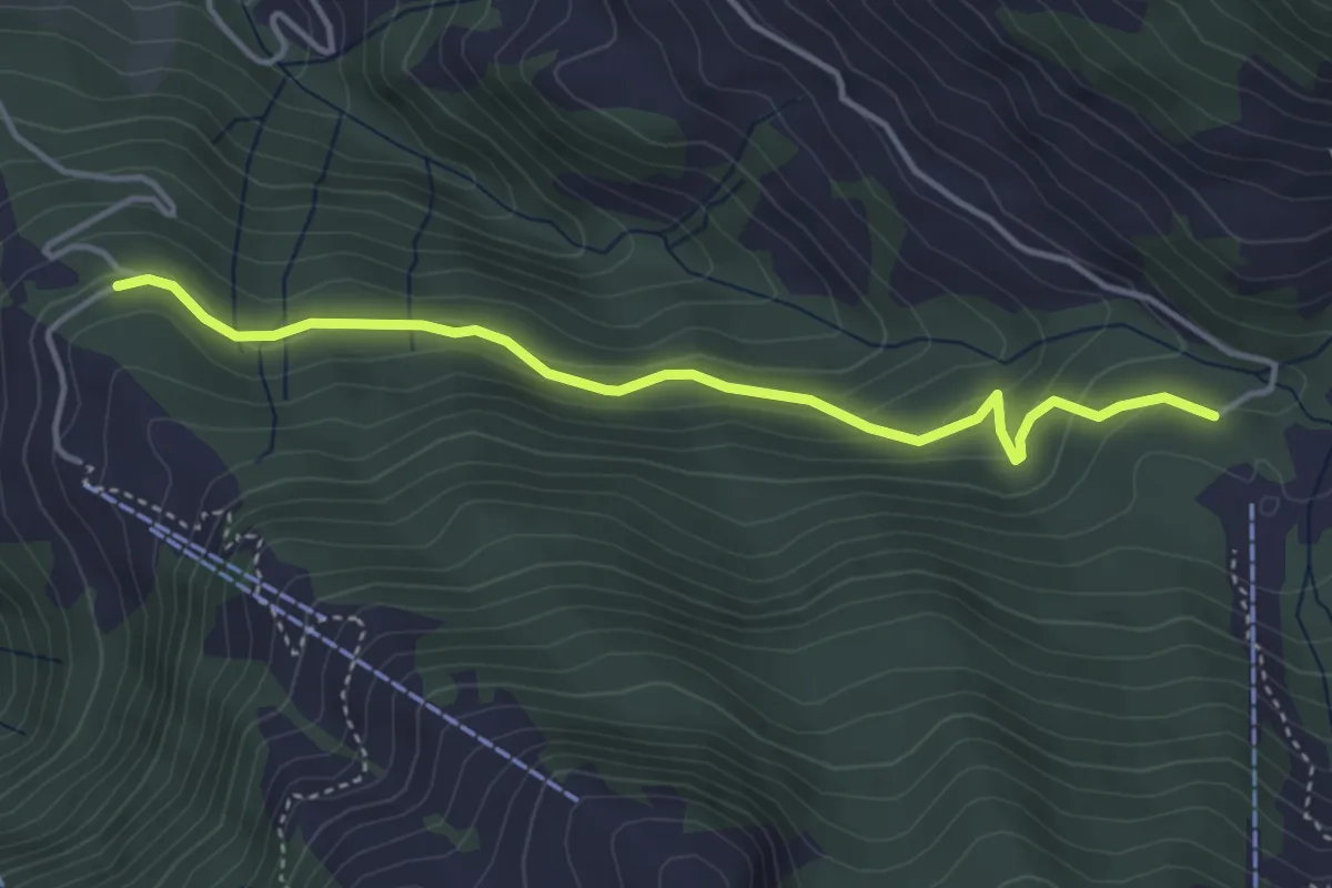
Easy · Trail
Alpboden – Waseneggli
4.0 km · ↑ 230 m · 1 h 27 min · 13 km away
Medium · Trail
Stäfeli - Wassermoos
9.0 km · ↑ 501 m · 3 h 12 min · 13 km away
Easy · Trail
Ennethorw – Bruust
2.7 km · ↑ 233 m · 1 h 8 min · 13 km away
Easy · Trail
Schlund – Ennethorw
3.6 km · ↑ 31 m · 55 min · 13 km away
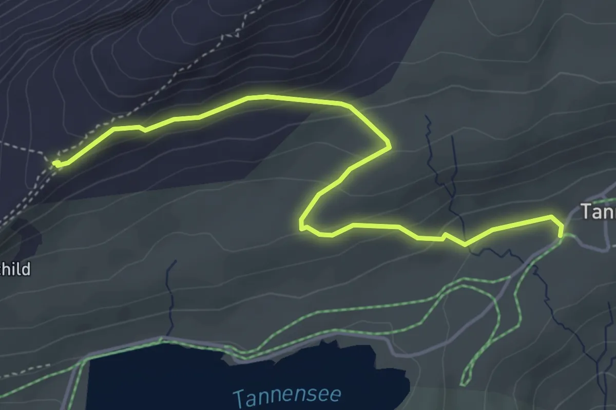
Medium · Trail
Tannenalp – Bonistock-Bahn
4.5 km · ↑ 185 m · 1 h 28 min · 13 km away
Easy · Trail
Hinter Schwändi – Gruohubel
4.1 km · ↑ 243 m · 1 h 30 min · 13 km away
Medium · Trail
Hackenrain – Gruohubel
4.7 km · ↑ 418 m · 2 h 1 min · 13 km away
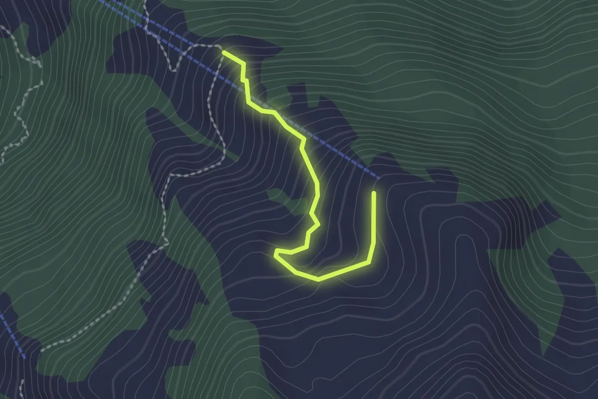
Easy · Trail
Obrist Hüttli – Mittlist Hüttli
2.0 km · ↑ 188 m · 53 min · 13 km away
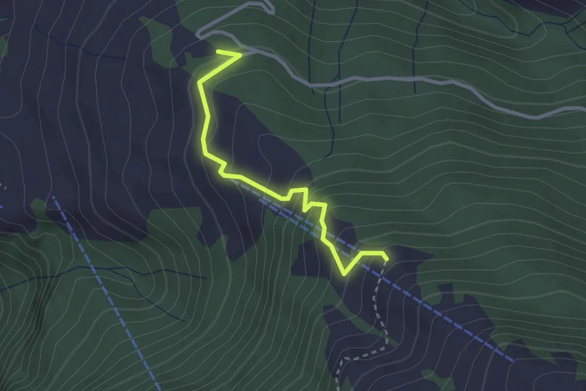
Medium · Trail
Wasenegg – Mittlist Hütti
2.4 km · ↑ 237 m · 1 h 5 min · 13 km away
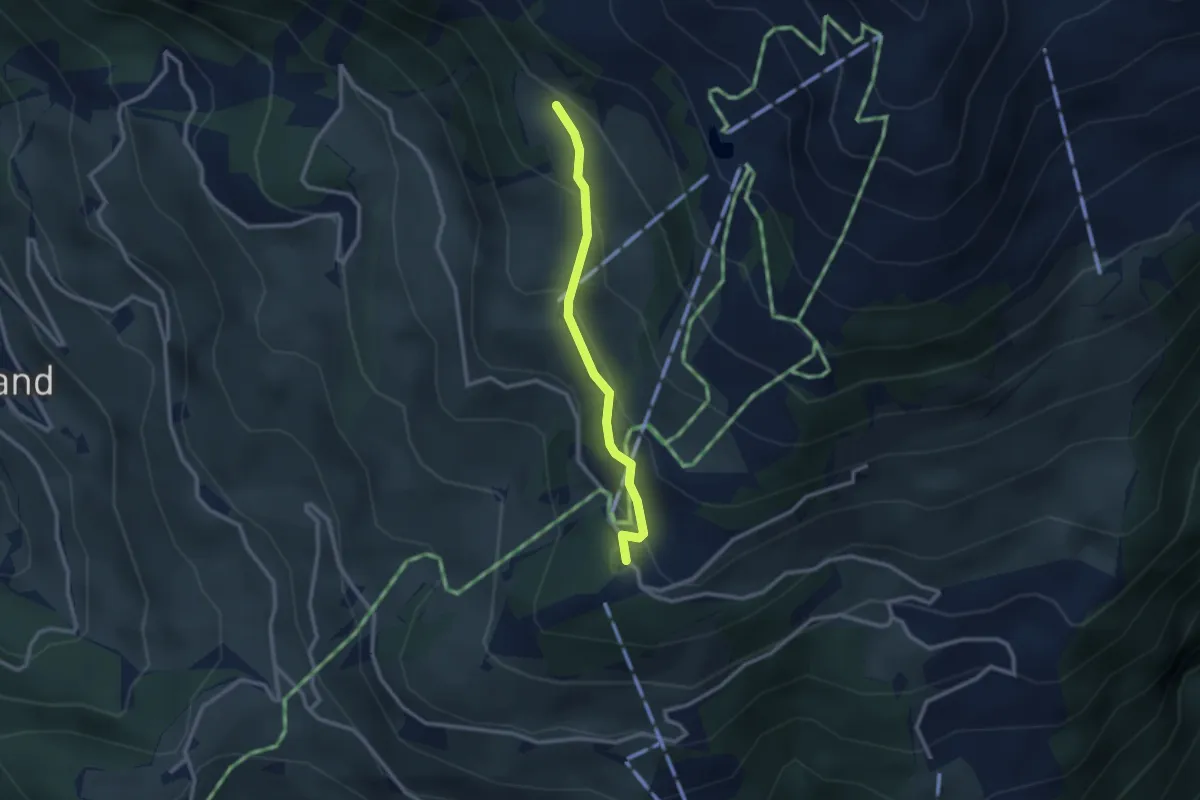
Medium · Trail
Rinderbüel – Ristis
2.3 km · ↑ 158 m · 54 min · 14 km away
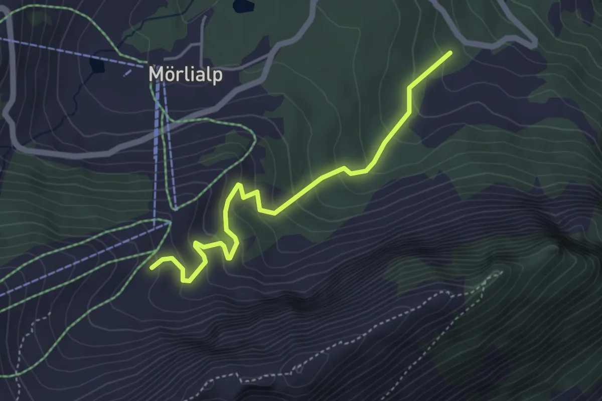
Easy · Trail
Alpoglen - Sandboden
4.0 km · ↑ 310 m · 1 h 37 min · 14 km away
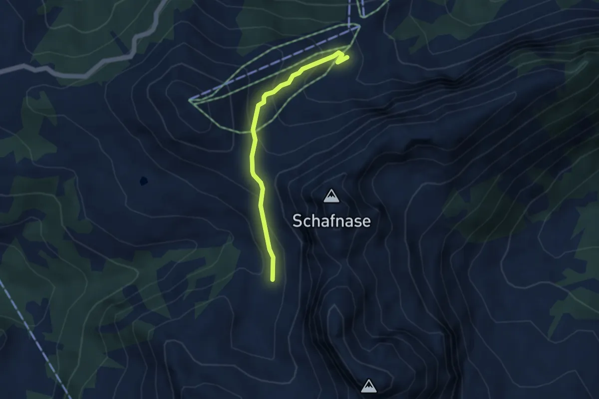
Medium · Trail
Fontanen – Alpoglen
3.2 km · ↑ 217 m · 1 h 13 min · 14 km away
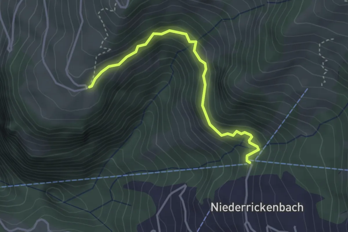
Easy · Trail
Niederrickenbach – Gibel
3.2 km · ↑ 252 m · 1 h 18 min · 14 km away
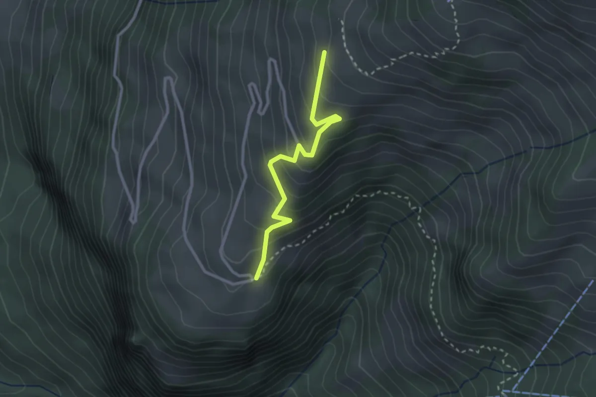
Easy · Trail
Arhölzli – Gibel
2.4 km · ↑ 214 m · 1 h 1 min · 14 km away
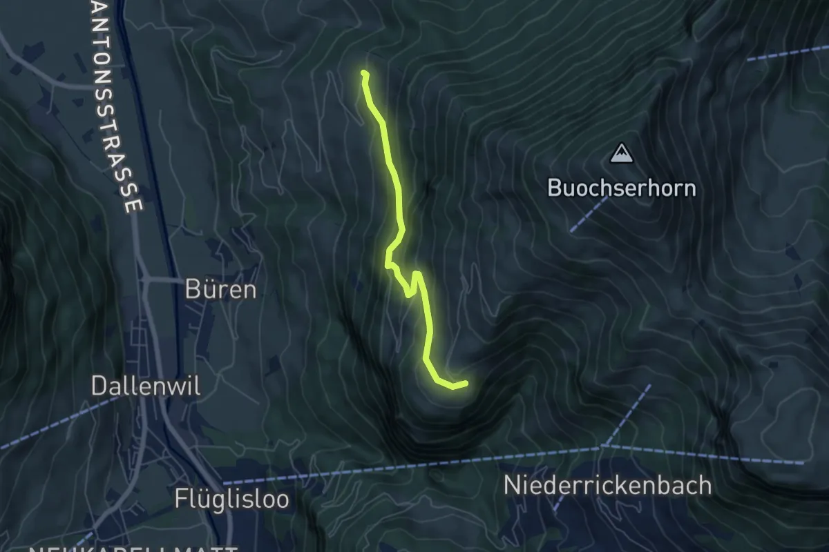
Medium · Trail
Gibel – Gross Schwanden
5.0 km · ↑ 375 m · 1 h 59 min · 14 km away
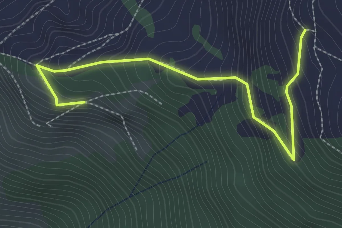
Medium · Trail
Luthensak - Gigi
2.8 km · ↑ 300 m · 1 h 18 min · 14 km away
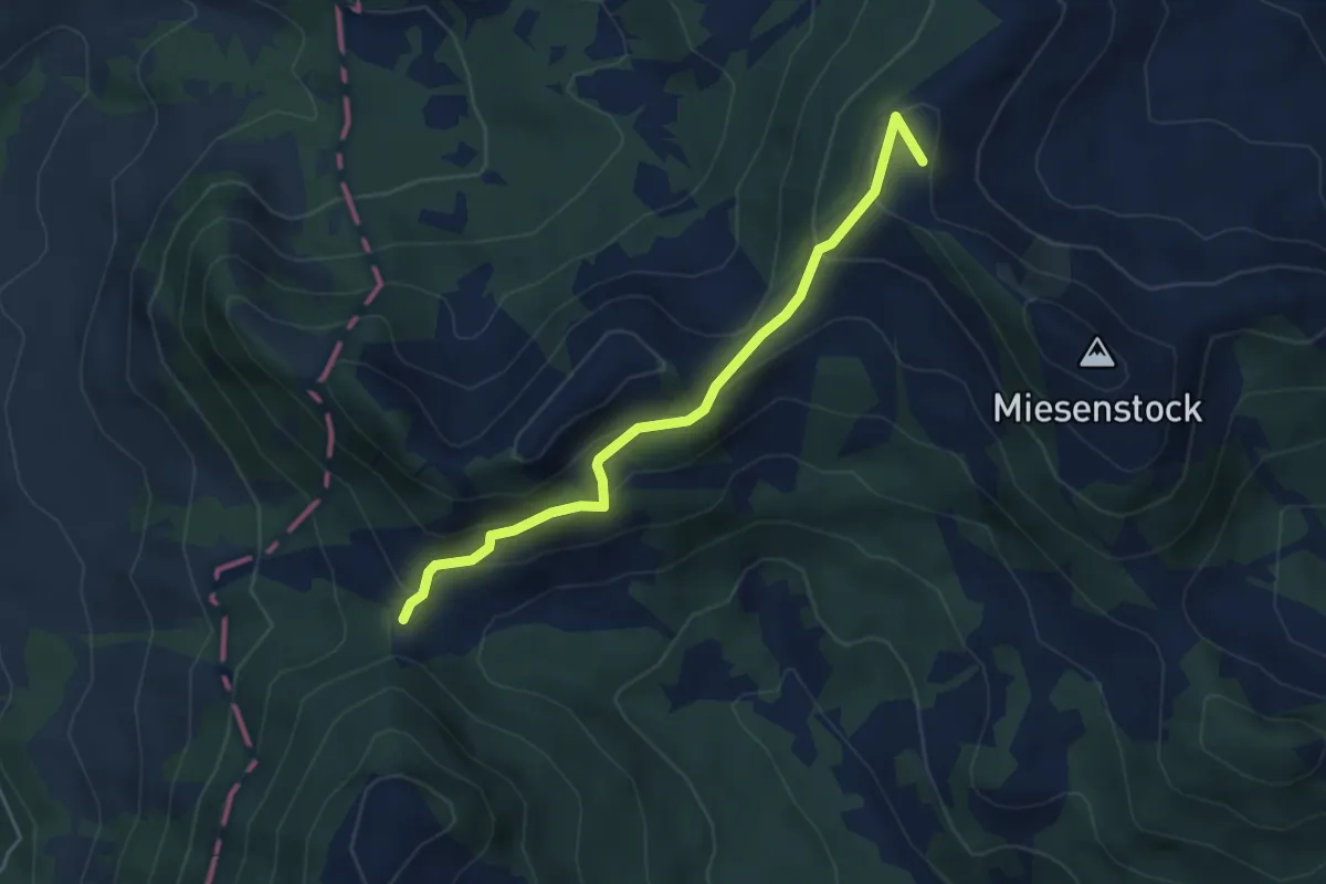
Medium · Summit
Sewenegg – Sattelpass
4.4 km · ↑ 234 m · 1 h 33 min · 14 km away
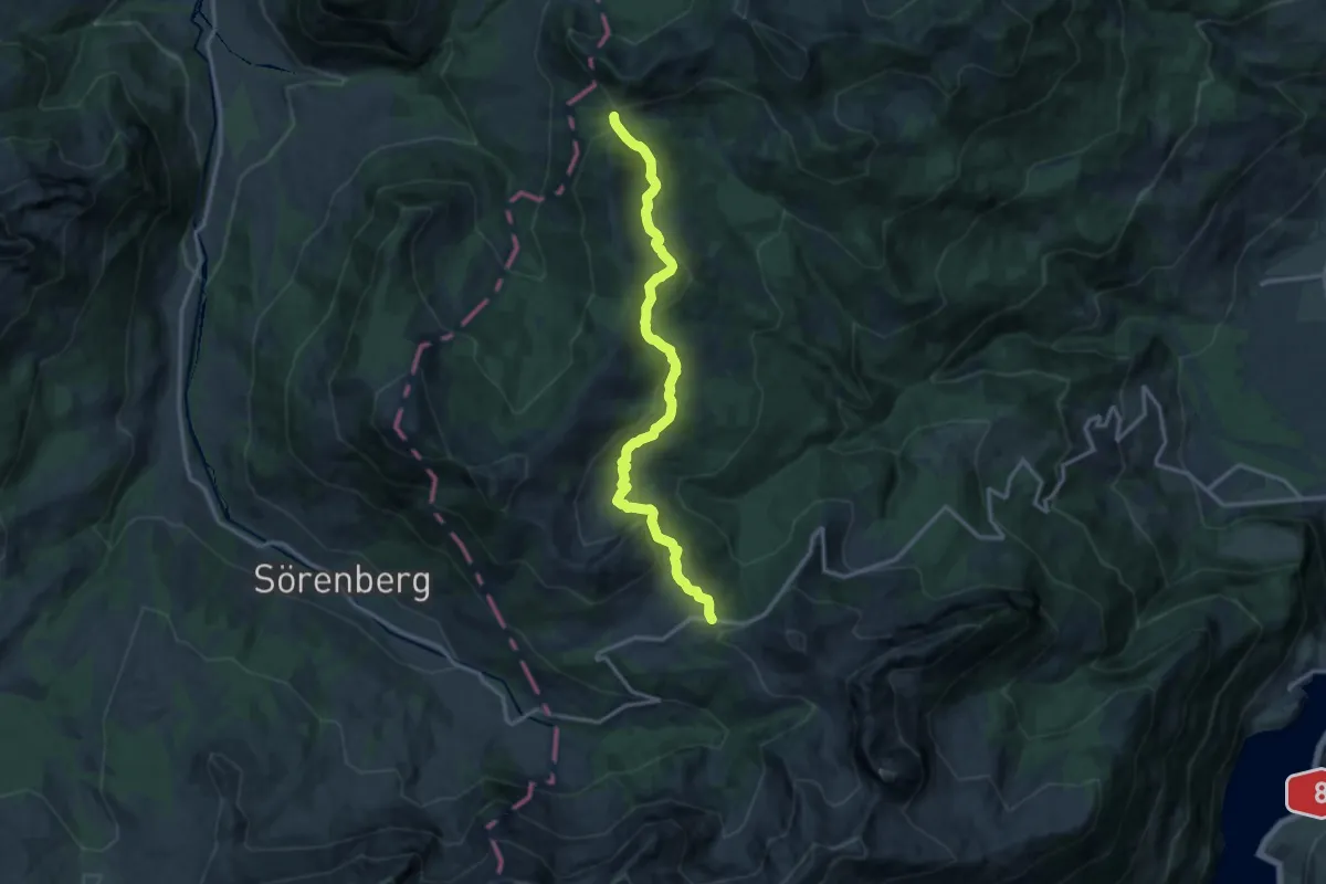
Medium · Trail
Glaubenbielen – Sattelpass
14.0 km · ↑ 511 m · 4 h 25 min · 14 km away
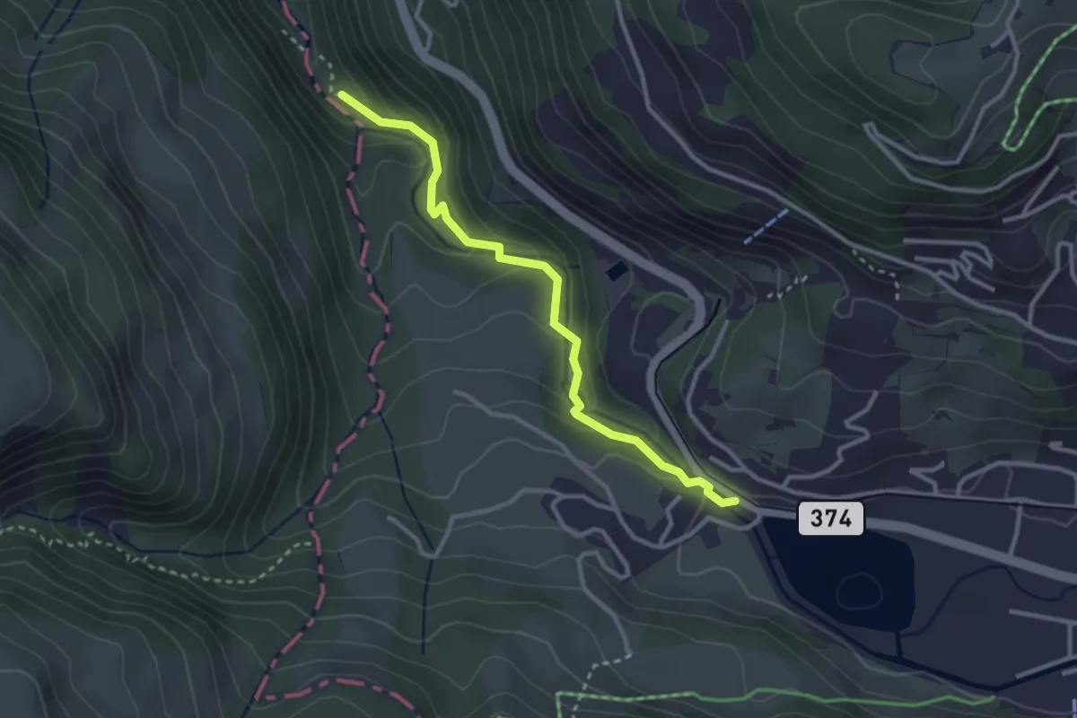
Easy · Trail
Eugenisee – Aaschlucht
2.9 km · ↑ 168 m · 1 h 4 min · 14 km away
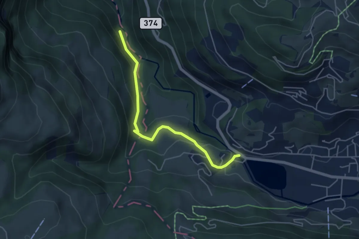
Easy · Trail
Eugenisee – Schwändliloch
4.0 km · ↑ 219 m · 1 h 25 min · 14 km away
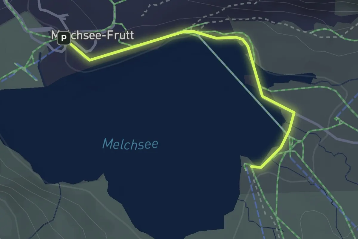
Medium · Trail
Melchsee-Frutt - Melchsee
2.7 km · ↑ 18 m · 40 min · 14 km away
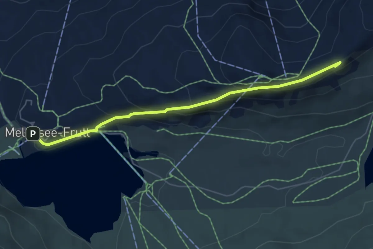
Medium · Summit
Melchsee-Frutt - Chringen - Bonistock
4.9 km · ↑ 235 m · 1 h 40 min · 14 km away
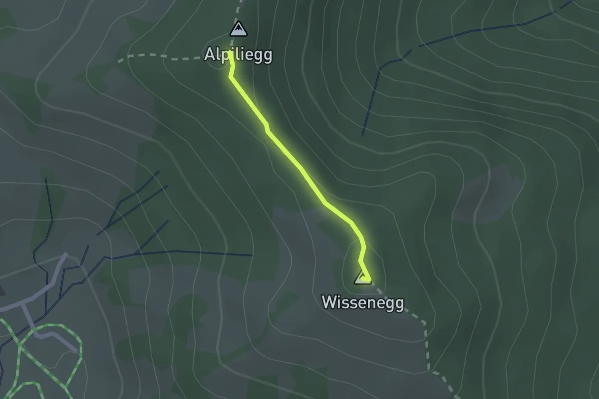
Medium · Summit
Wissenegg - Alpiliegg
1.3 km · ↑ 49 m · 24 min · 14 km away
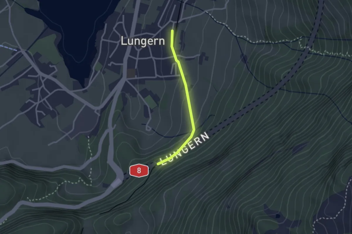
Easy · Trail
Lungern - Bannwald
2.1 km · ↑ 101 m · 43 min · 14 km away
Easy · Trail
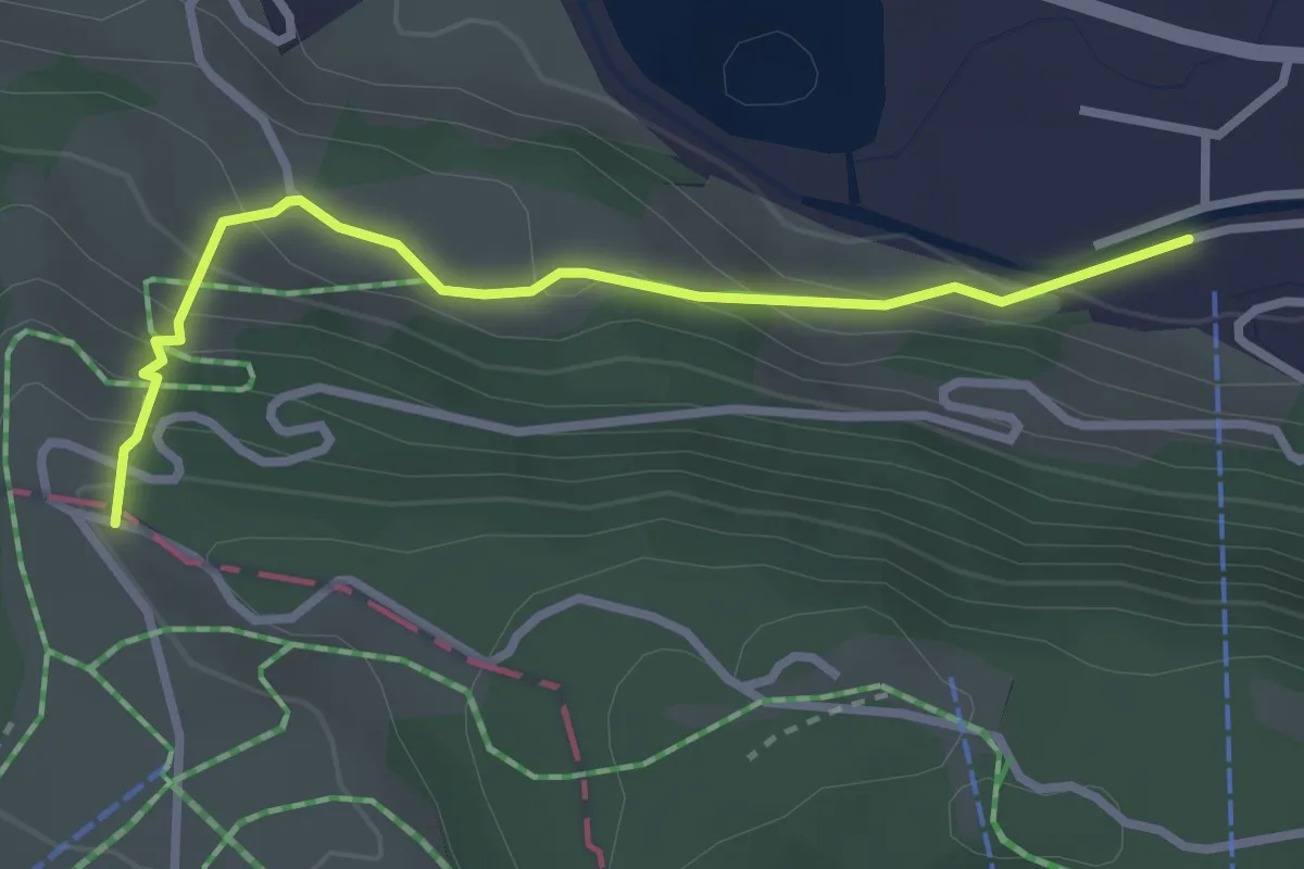
Sonnhalde - Linden - Meiestoss - Moos
7.3 km · ↑ 180 m · 2 h 7 min · 14 km away
Easy · Trail
Trüeberboden – Titlisbahn Talstation
2.9 km · ↑ 198 m · 1 h 6 min · 14 km away
Medium · Trail
Stalden – Ricketschwändi
3.7 km · ↑ 323 m · 1 h 34 min · 14 km away
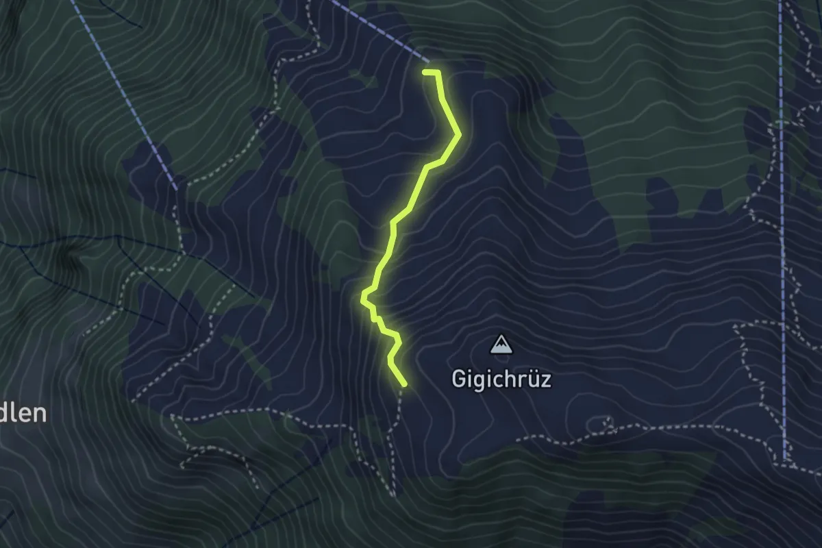
Medium · Trail
Gigi – Obrist Hüttli
2.4 km · ↑ 258 m · 1 h 8 min · 14 km away
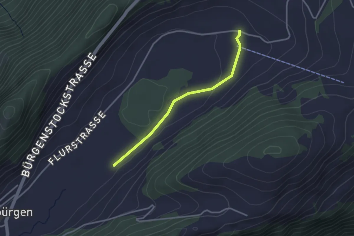
Easy · Trail
Boden - fixme
2.5 km · ↑ 14 m · 37 min · 14 km away
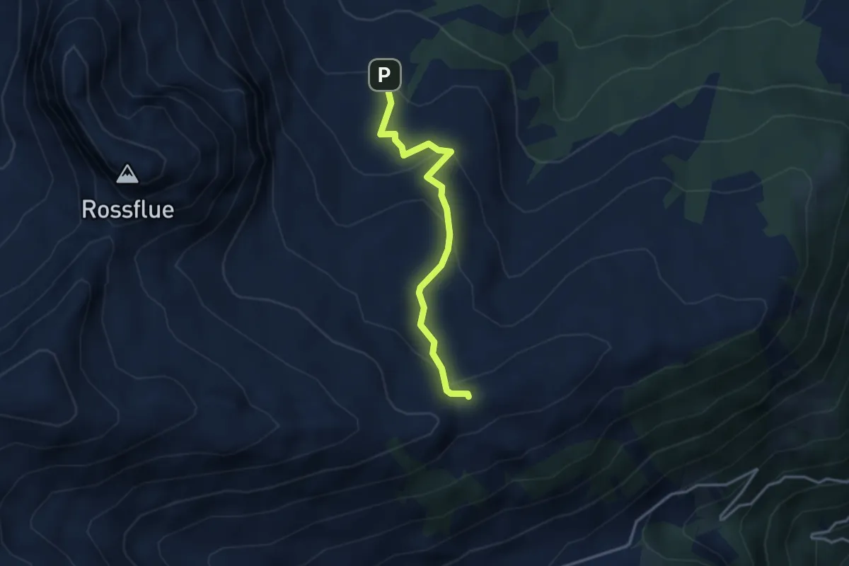
Easy · Trail
Fluonalp - Dundelegg
3.0 km · ↑ 169 m · 1 h 5 min · 14 km away
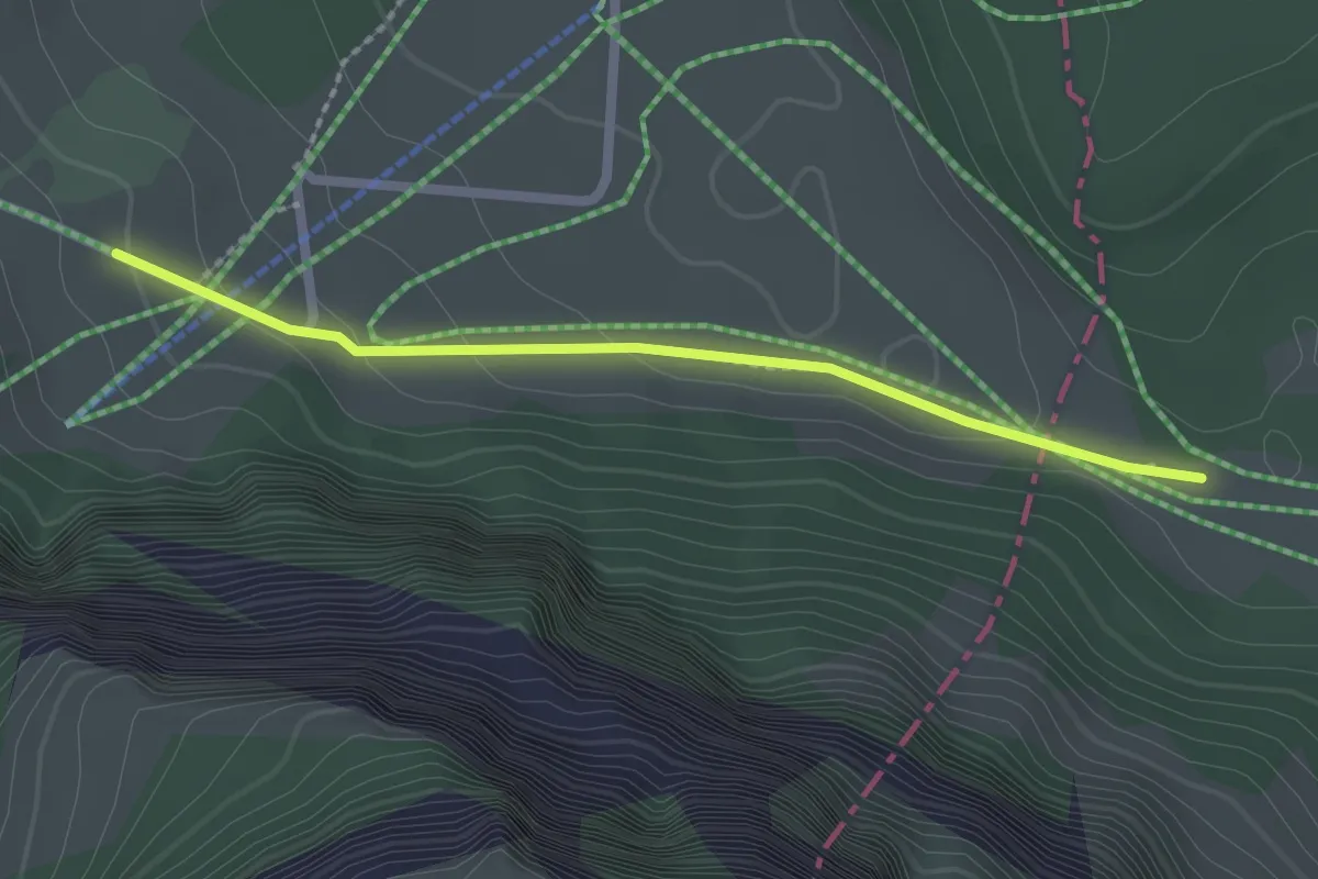
Easy · Trail
Schlegi - Untertrübsee
2.1 km · ↑ 74 m · 39 min · 14 km away
Medium · Trail
Bömmerenbrücke – Tristboden
8.7 km · ↑ 353 m · 2 h 49 min · 14 km away
Easy · Trail
Schlund – Ober Strick
2.3 km · ↑ 138 m · 51 min · 14 km away
Easy · Trail
Eigenthal - Chräje
3.7 km · ↑ 132 m · 1 h 9 min · 14 km away
Easy · Trail
Scharmis – Chräje
2.1 km · ↑ 44 m · 35 min · 14 km away
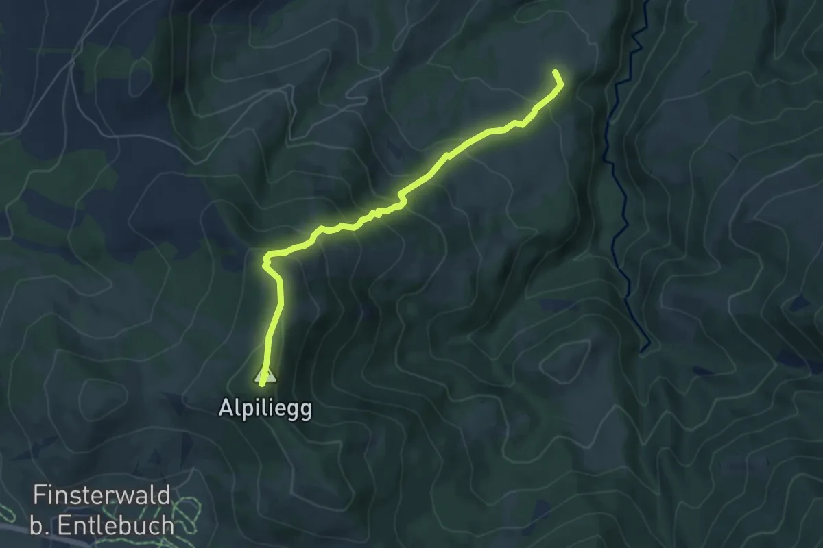
Medium · Summit
Alpiliegg – Unt. Rootmoos
5.7 km · ↑ 448 m · 2 h 19 min · 14 km away
Medium · Trail
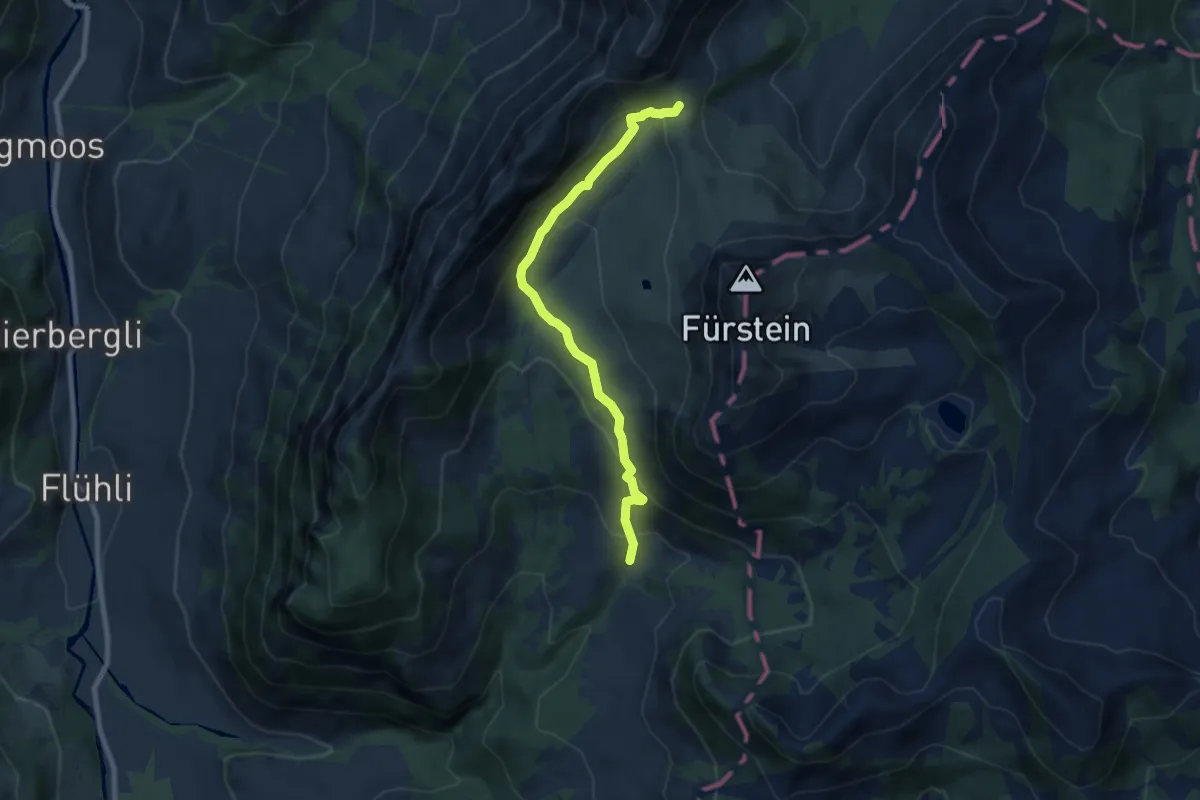
Wasserfallenegg - Grön
7.6 km · ↑ 434 m · 2 h 45 min · 14 km away
Easy · Trail
Spitz – Ober Strick
2.1 km · ↑ 134 m · 46 min · 14 km away
Easy · Trail
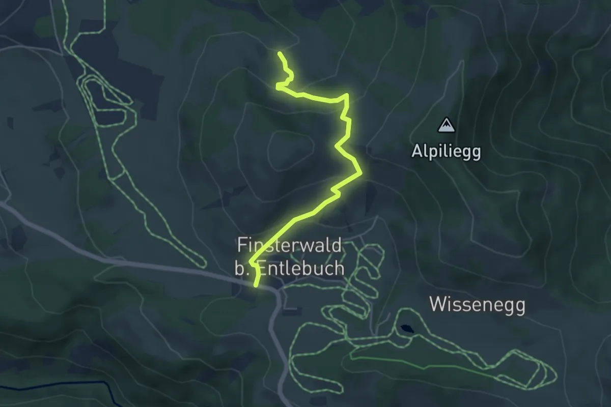
Finsterwald – Dietenwart Gräben
4.4 km · ↑ 235 m · 1 h 33 min · 14 km away
Medium · Trail
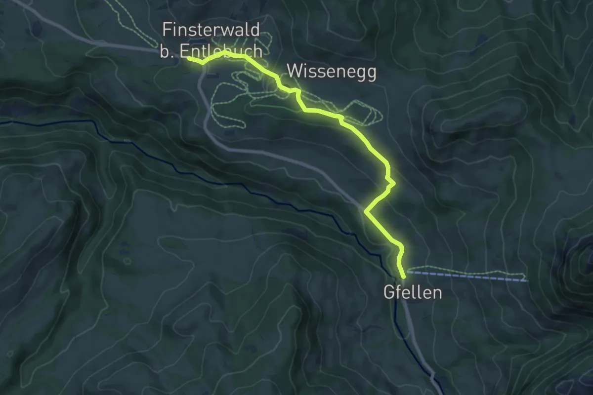
Gfellen – Finsterwald
6.9 km · ↑ 156 m · 1 h 58 min · 14 km away
Easy · Trail
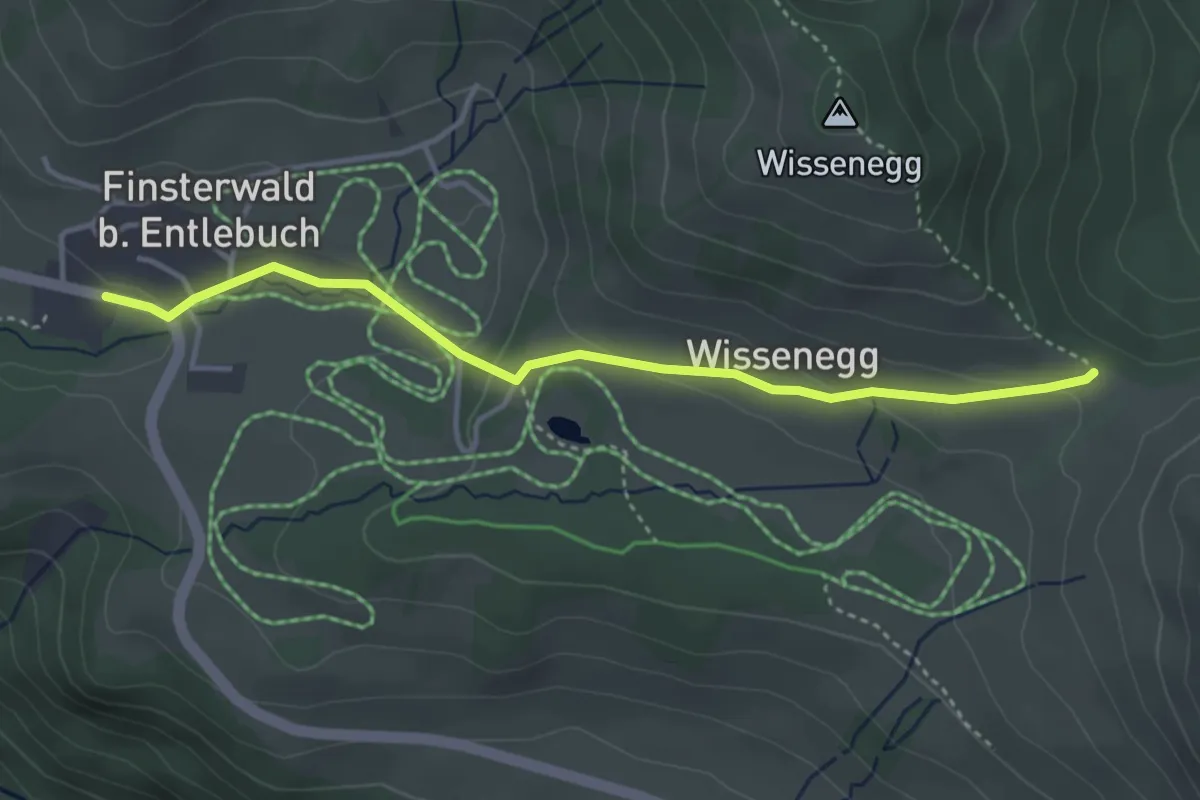
Finsterwald – Wissenegg
3.8 km · ↑ 103 m · 1 h 8 min · 14 km away