Trails near Sarnen
375 hikes starting within 15 km, nearest first.
Nearest first, page 8 of 8
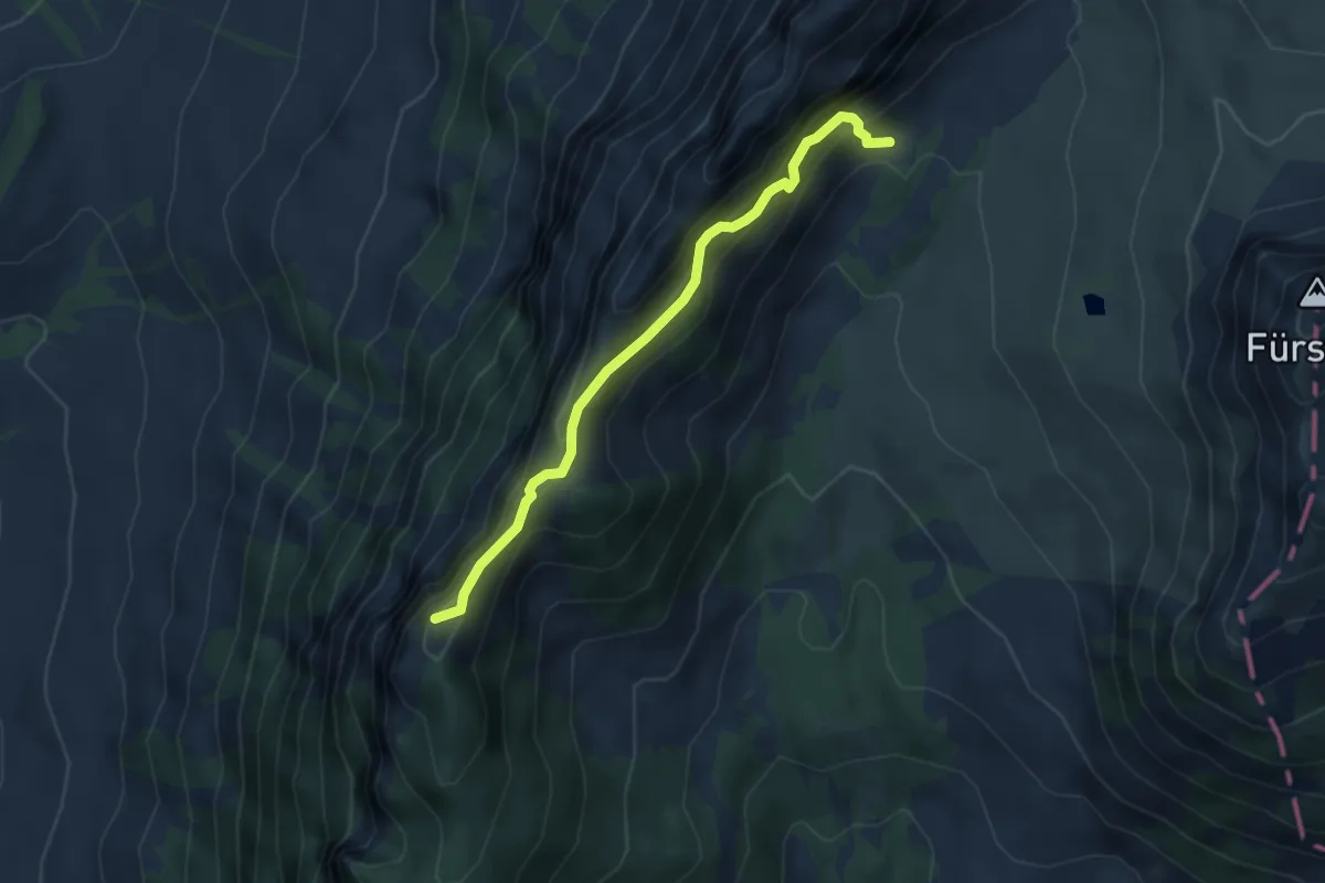
Expert · Trail
Pt 1605 - Schwändiliflueh
4.3 km · ↑ 387 m · 1 h 51 min · 15 km away
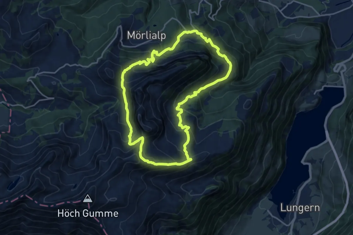
Demanding · Summit
Bärgmandlipfad Giswil
12.5 km · ↑ 873 m · 5 h 1 min · 15 km away
Easy · Trail
Birholz - Unt. Chnolligen
2.0 km · ↑ 104 m · 42 min · 15 km away
Easy · Trail
Schwarzenberg – Scharmis
4.7 km · ↑ 70 m · 1 h 16 min · 15 km away
Easy · Trail
Schwarzenberg - Niederlehn
2.8 km · ↑ 93 m · 52 min · 15 km away
Easy · Trail
Schwarzenberg – Schwarzenberg
4.3 km · ↑ 96 m · 1 h 13 min · 15 km away
Easy · Trail
Birholz - Längacher
2.7 km · ↑ 58 m · 45 min · 15 km away
Easy · Trail
Längacher - Horw Post
2.5 km · ↑ 113 m · 50 min · 15 km away
Easy · Summit
Scharmis – Chrüzhubel
2.8 km · ↑ 116 m · 54 min · 15 km away
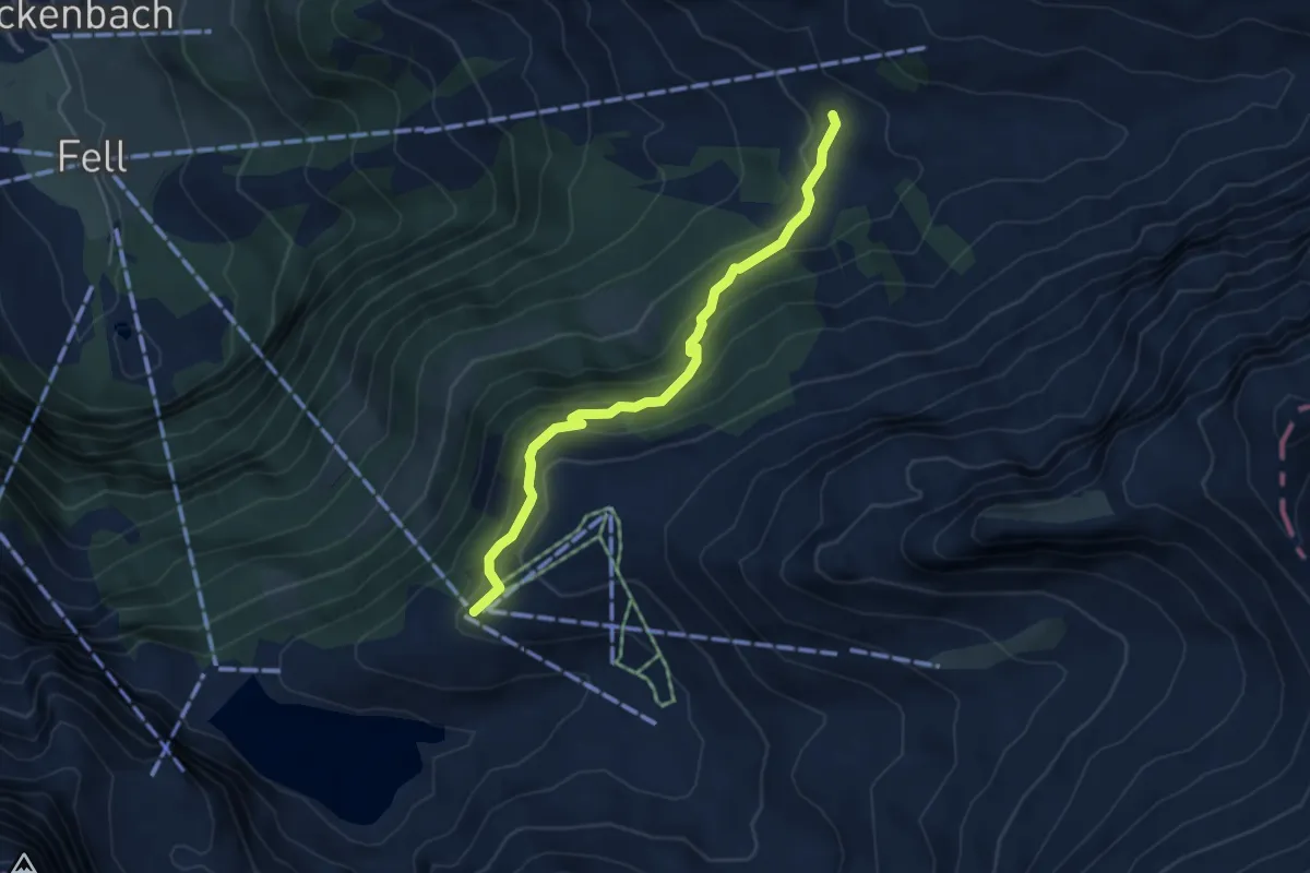
Easy · Cabin
Banalp / Chrüzhütte - Haghütte
4.4 km · ↑ 303 m · 1 h 41 min · 15 km away
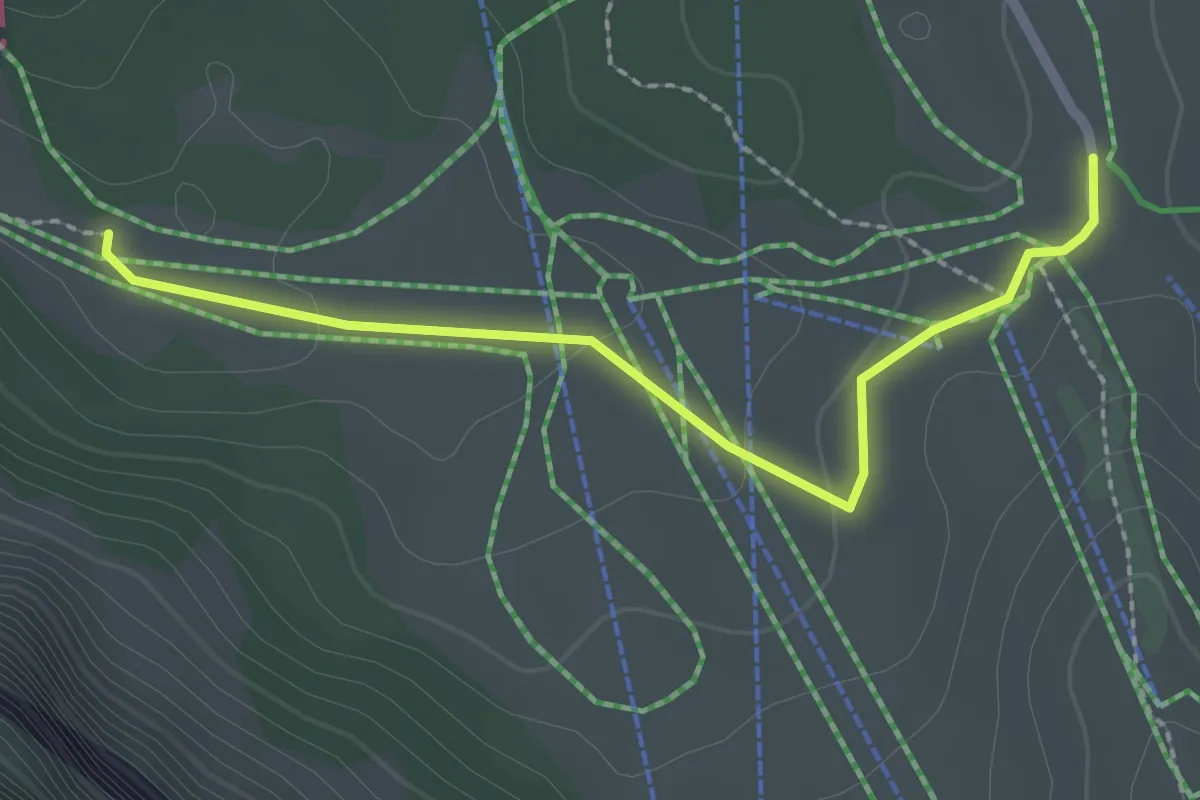
Easy · Trail
Vorder Staffel - Schlegi
2.3 km · ↑ 34 m · 37 min · 15 km away
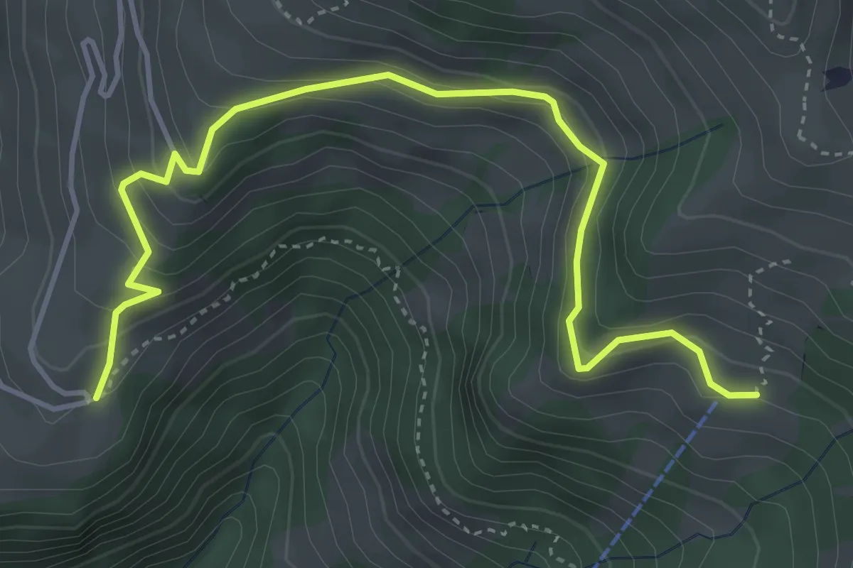
Medium · Trail
Gibel – Bleiki
4.7 km · ↑ 370 m · 1 h 54 min · 15 km away
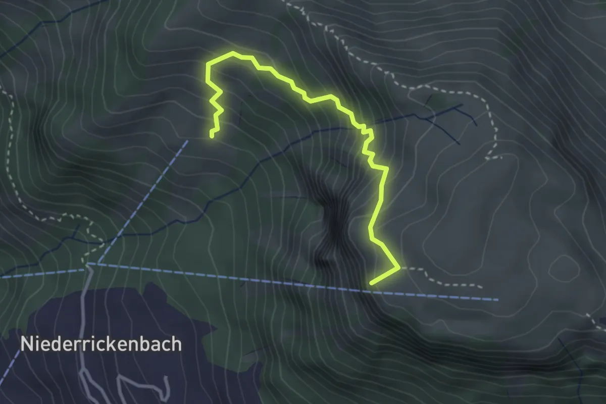
Medium · Summit
Musenalp – Bleiki
3.0 km · ↑ 374 m · 1 h 31 min · 15 km away
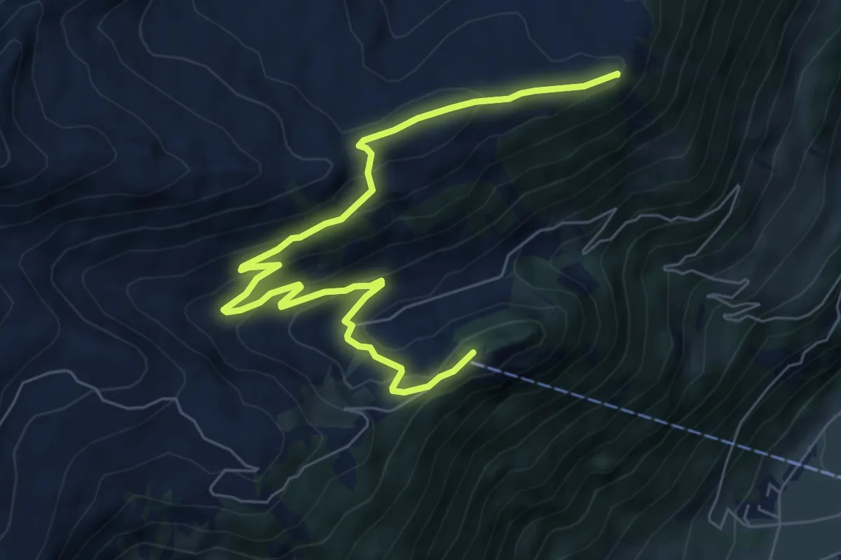
Medium · Summit
Schmetterlingspfad Lungern
8.0 km · ↑ 405 m · 2 h 46 min · 15 km away
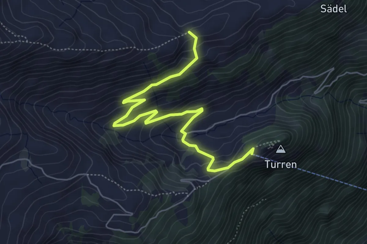
Easy · Trail
Dundelegg - Turren
6.1 km · ↑ 310 m · 2 h 6 min · 15 km away
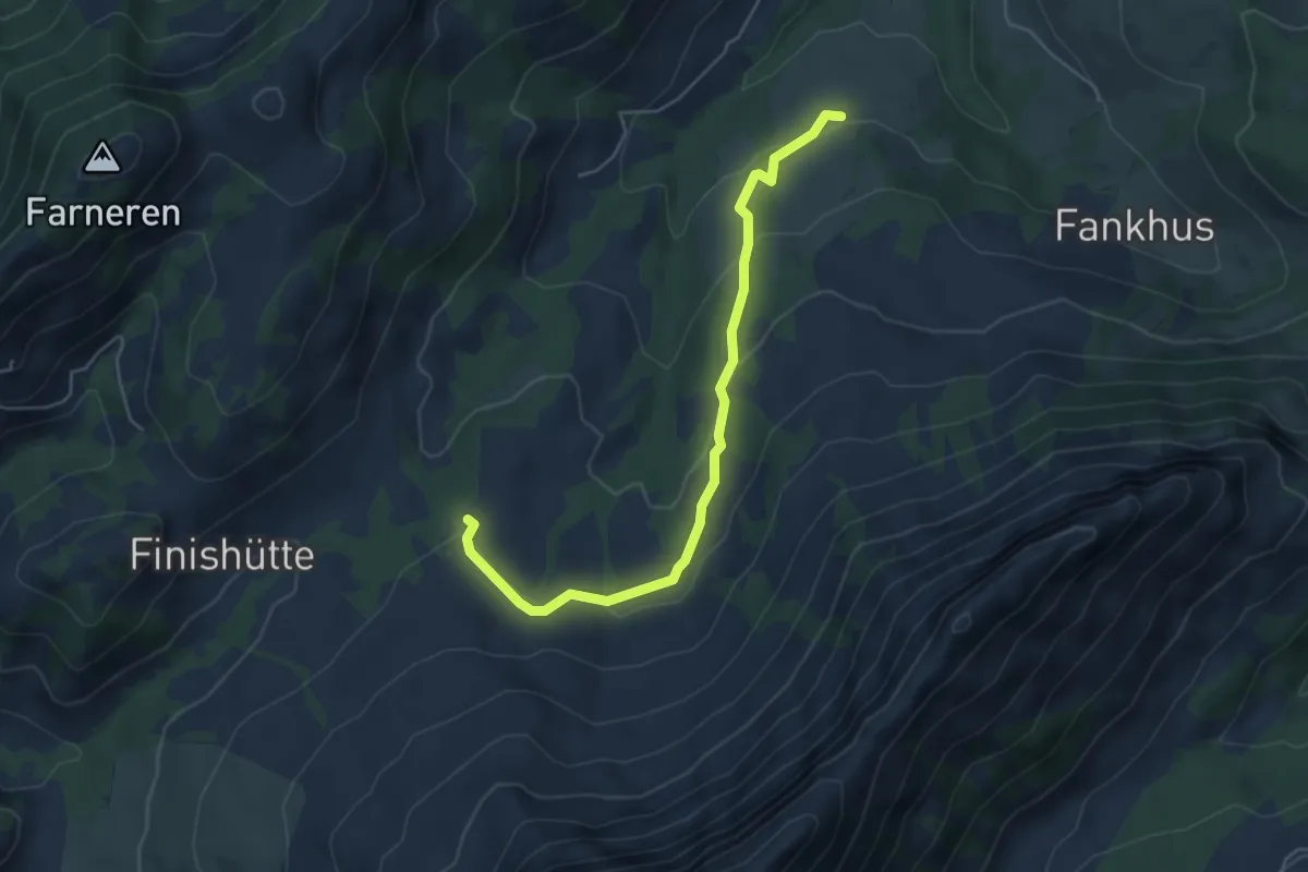
Easy · Trail
Gruenholz - Vorder Angst
5.1 km · ↑ 192 m · 1 h 38 min · 15 km away
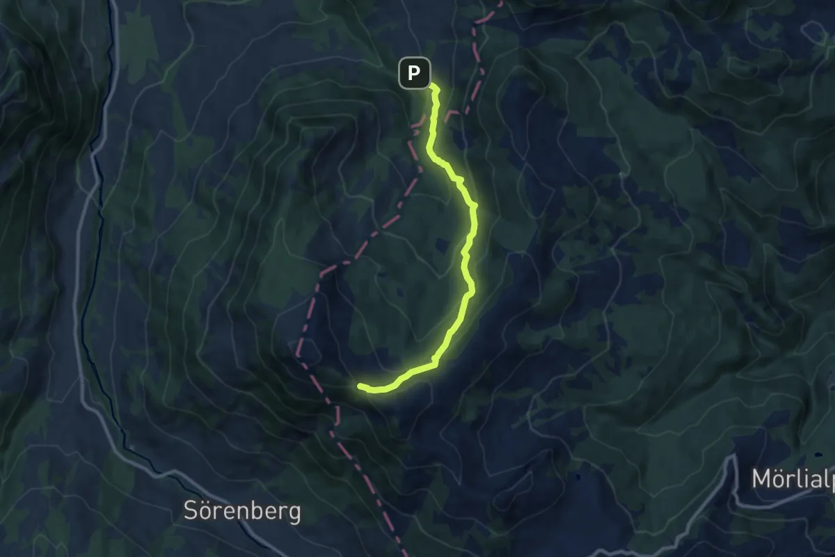
Medium · Trail
Sattel-Schlucht – Teufimannsattel
8.8 km · ↑ 568 m · 3 h 19 min · 15 km away
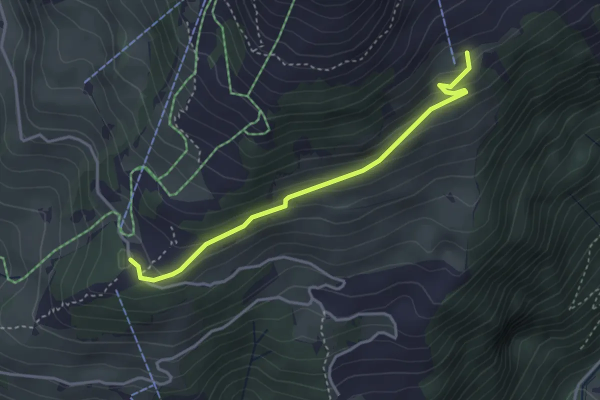
Easy · Trail
Rigidalstaffel - Ristis
3.3 km · ↑ 173 m · 1 h 9 min · 15 km away
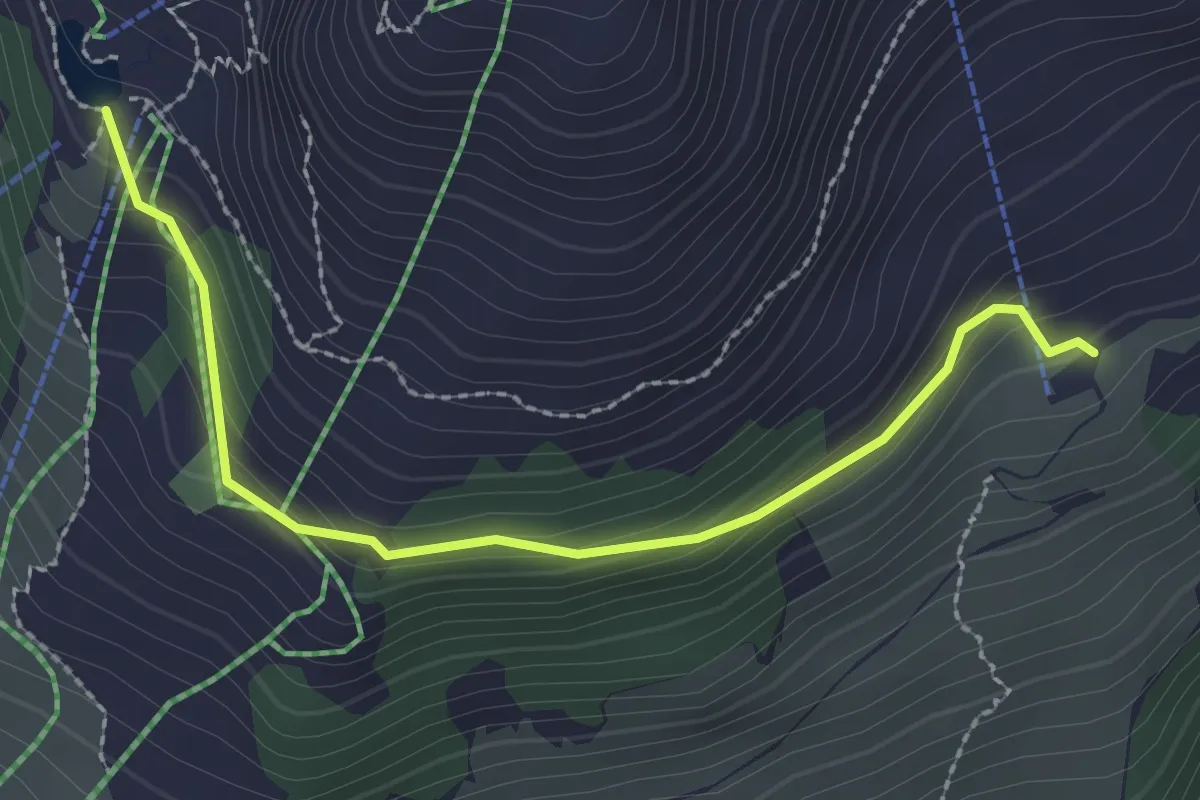
Easy · Cabin
Rigidalstaffel - Brunnihütte
2.5 km · ↑ 145 m · 55 min · 15 km away
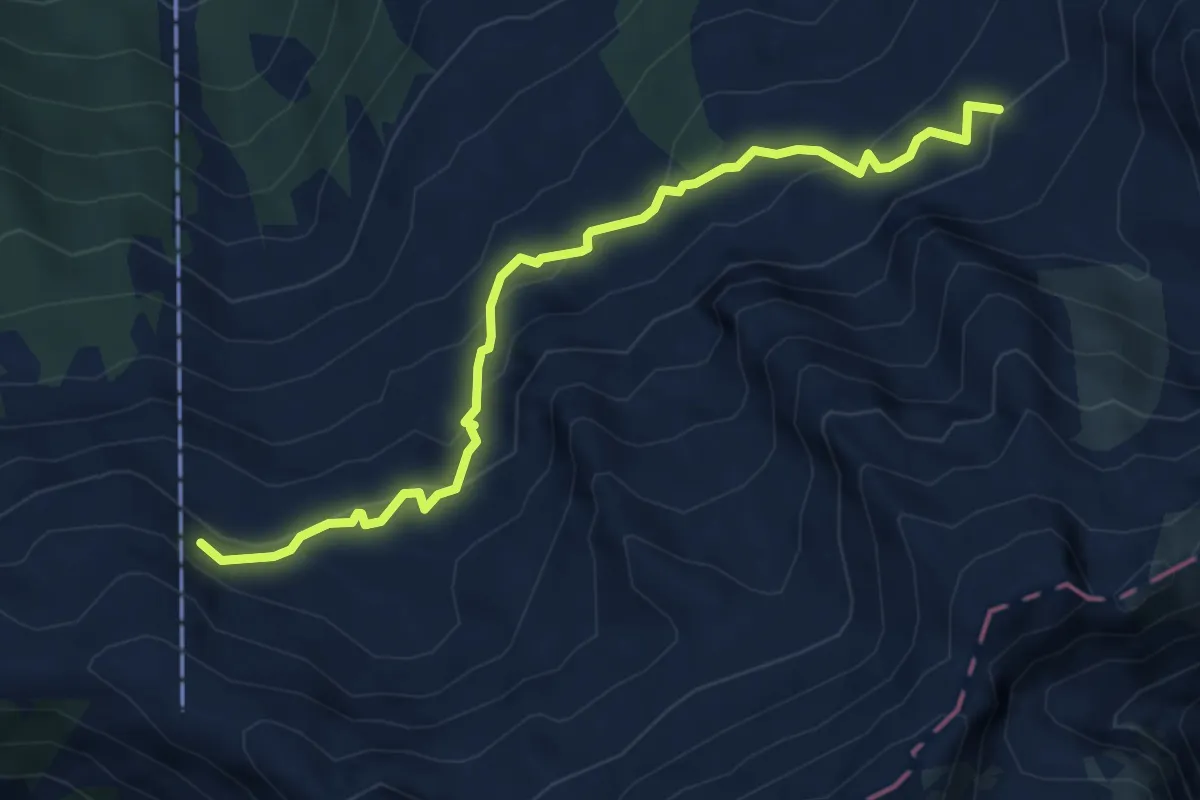
Demanding · Cabin
Chäserstad – Brisenhaus
5.4 km · ↑ 338 m · 2 h 1 min · 15 km away
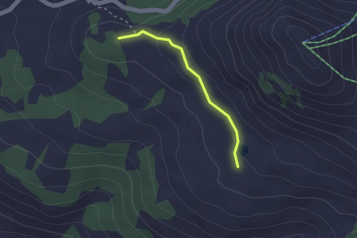
Medium · Summit
Glaubenbielen – Jänzimatt
1.6 km · ↑ 54 m · 30 min · 15 km away
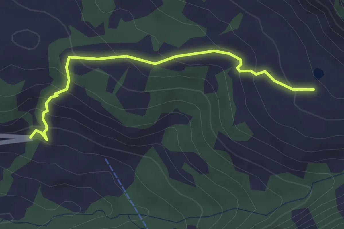
Easy · Trail
Jänzimatt – Emmenrank
3.2 km · ↑ 243 m · 1 h 17 min · 15 km away
Easy · Trail
Kreuel – Schloss Schauensee
3.7 km · ↑ 154 m · 1 h 13 min · 15 km away
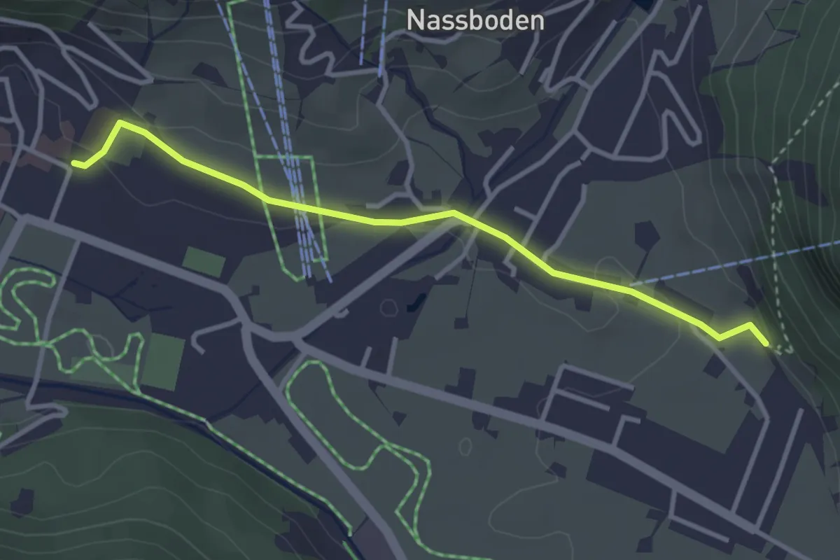
Easy · Trail
Kloster – Holzkapelle
3.2 km · ↑ 34 m · 49 min · 15 km away
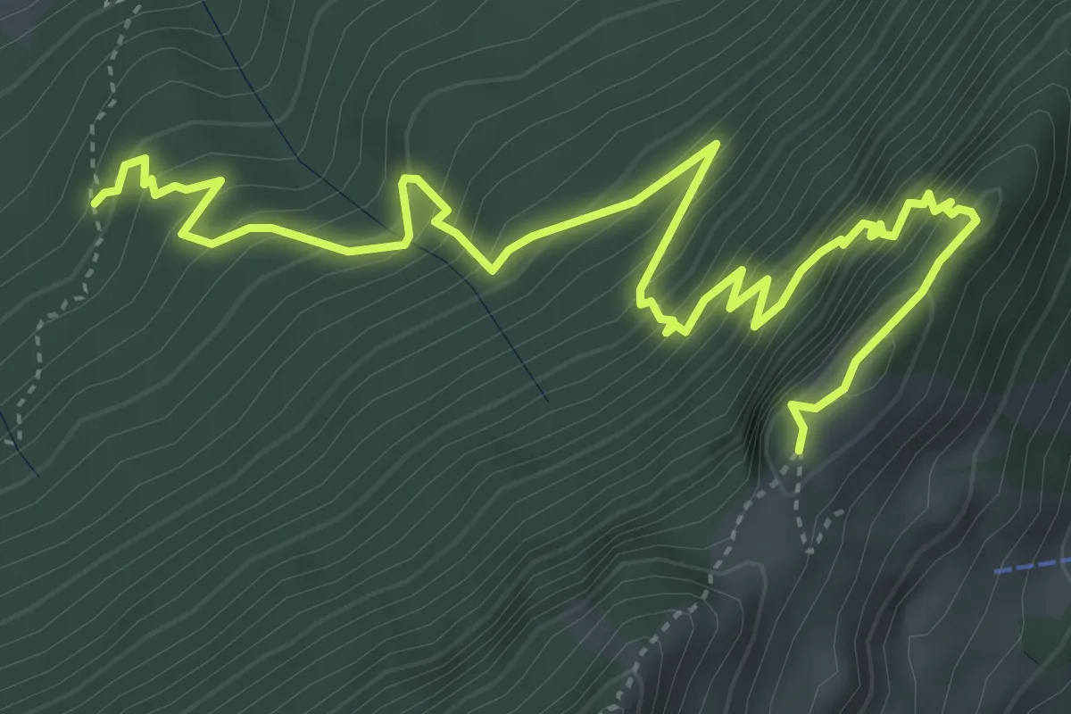
Expert · Trail
Gitzitritt
6.3 km · ↑ 719 m · 3 h 2 min · 15 km away
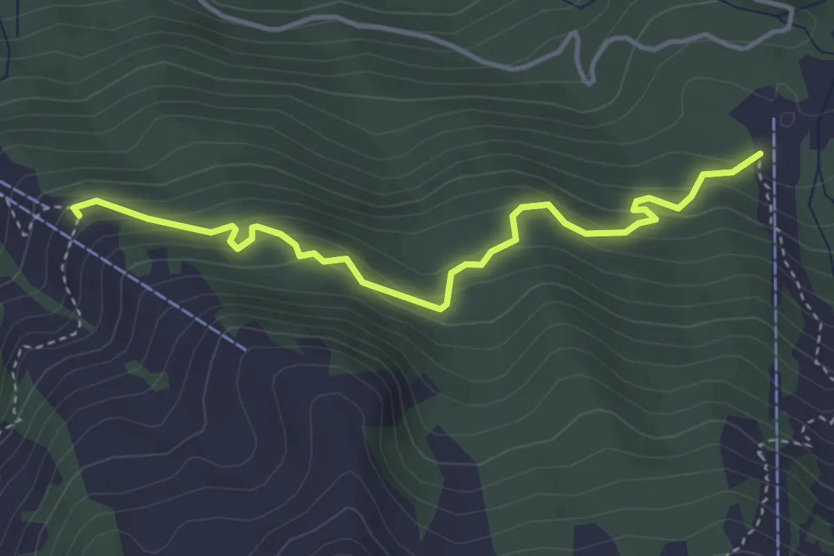
Medium · Trail
Alpboden – Mittlist Hütti
3.8 km · ↑ 339 m · 1 h 38 min · 15 km away
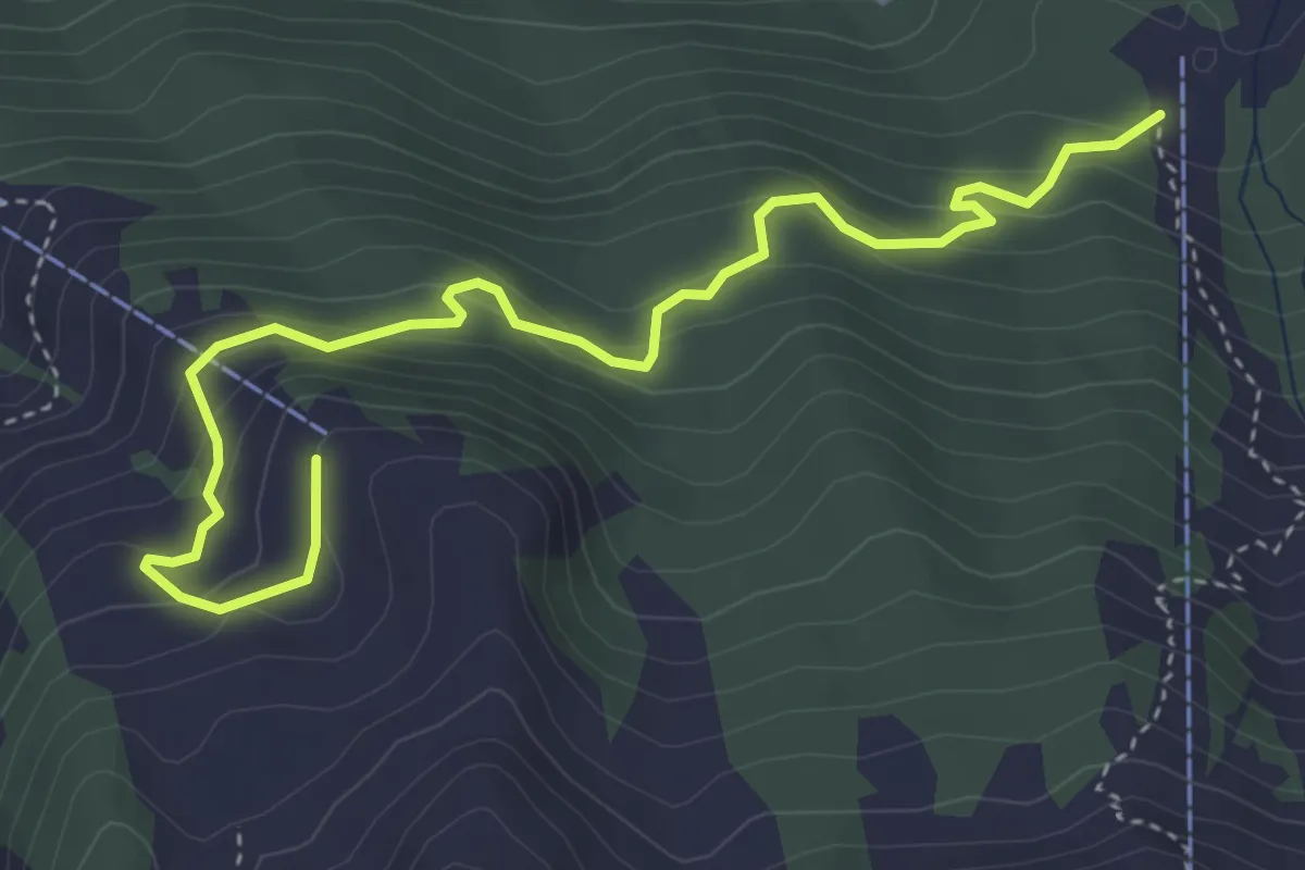
Medium · Trail
Alpboden – Oberist Hütti
4.8 km · ↑ 423 m · 2 h 2 min · 15 km away
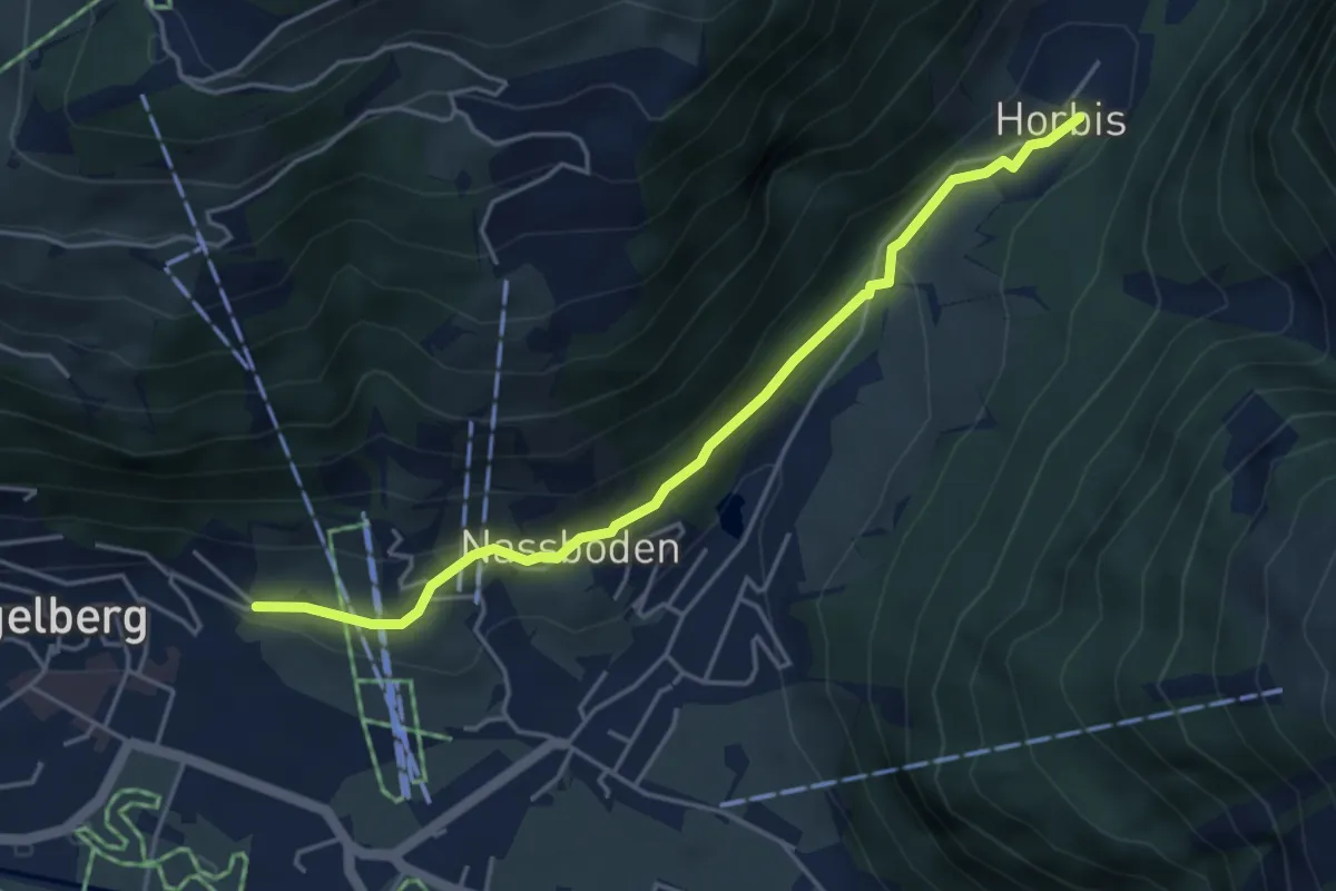
Easy · Trail
Horbis – Buechli
4.4 km · ↑ 117 m · 1 h 18 min · 15 km away
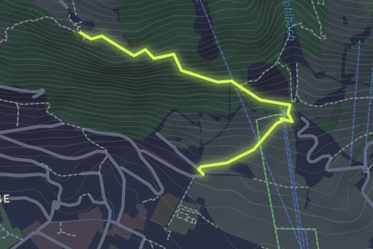
Medium · Trail
Flüematt – Buechli
2.2 km · ↑ 242 m · 1 h 2 min · 15 km away
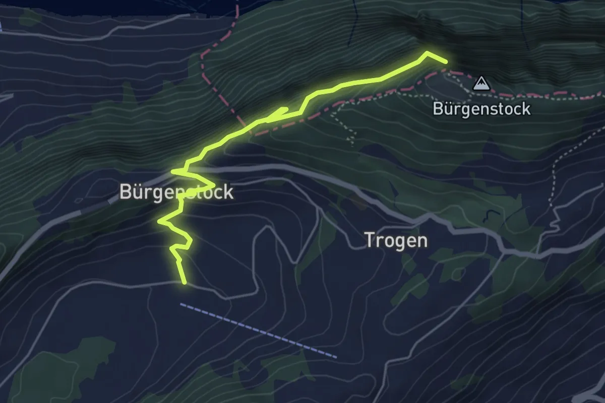
Medium · Trail
Hametschwand Lift - Boden
5.0 km · ↑ 587 m · 2 h 27 min · 15 km away
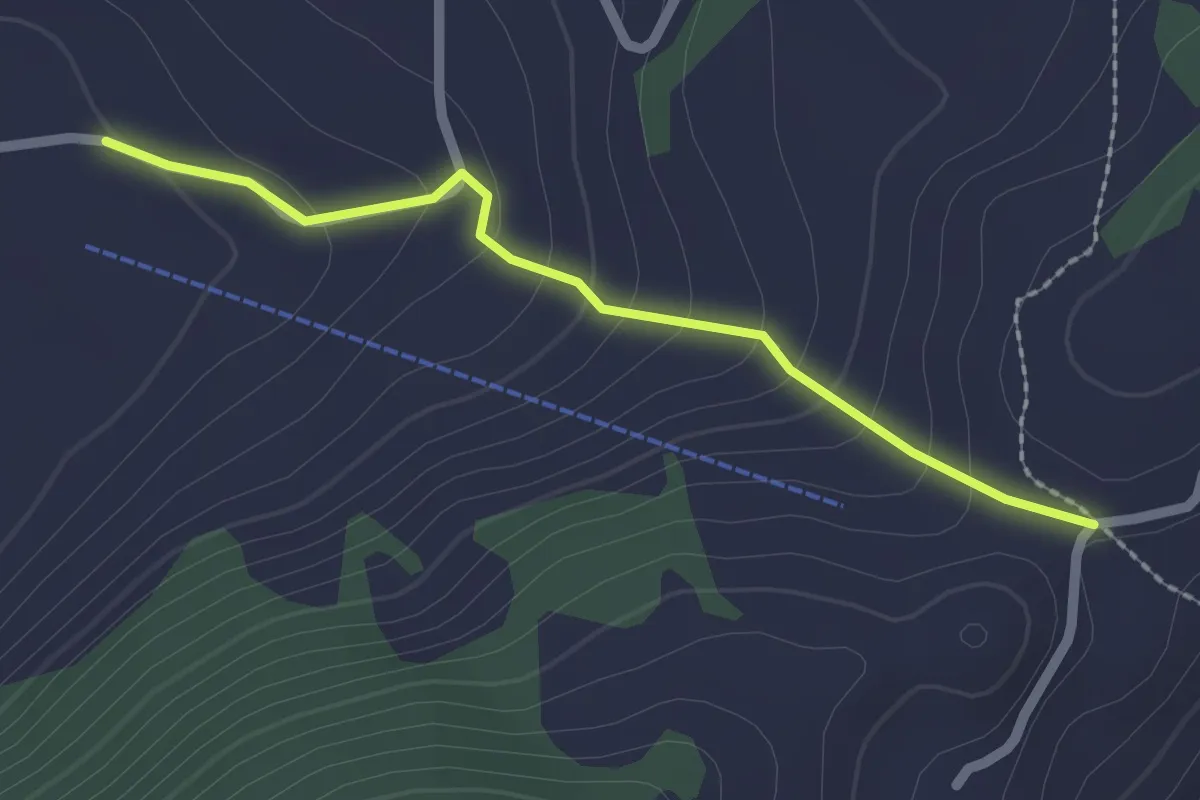
Easy · Trail
Vorderegg – Boden
2.0 km · ↑ 132 m · 46 min · 15 km away
Easy · Trail
Felmis - Längacher
4.0 km · ↑ 80 m · 1 h 7 min · 15 km away
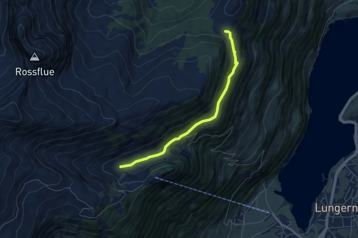
Easy · Trail
Dundelalp - Feldmoos
5.4 km · ↑ 231 m · 1 h 47 min · 15 km away
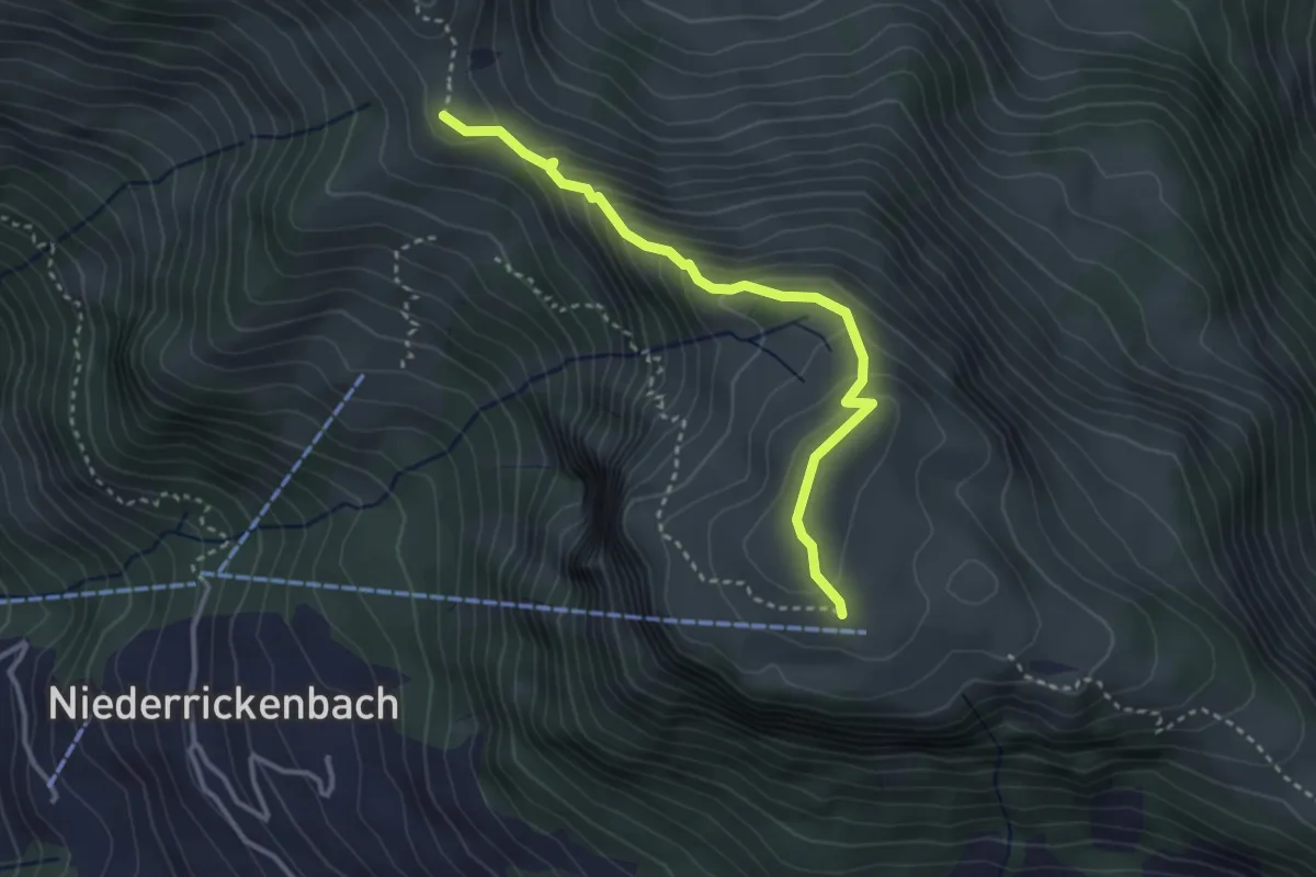
Expert · Trail
Rätzlenweg
3.2 km · ↑ 236 m · 1 h 16 min · 15 km away
Easy · Trail
Längacher - Horw Post
2.7 km · ↑ 111 m · 53 min · 15 km away
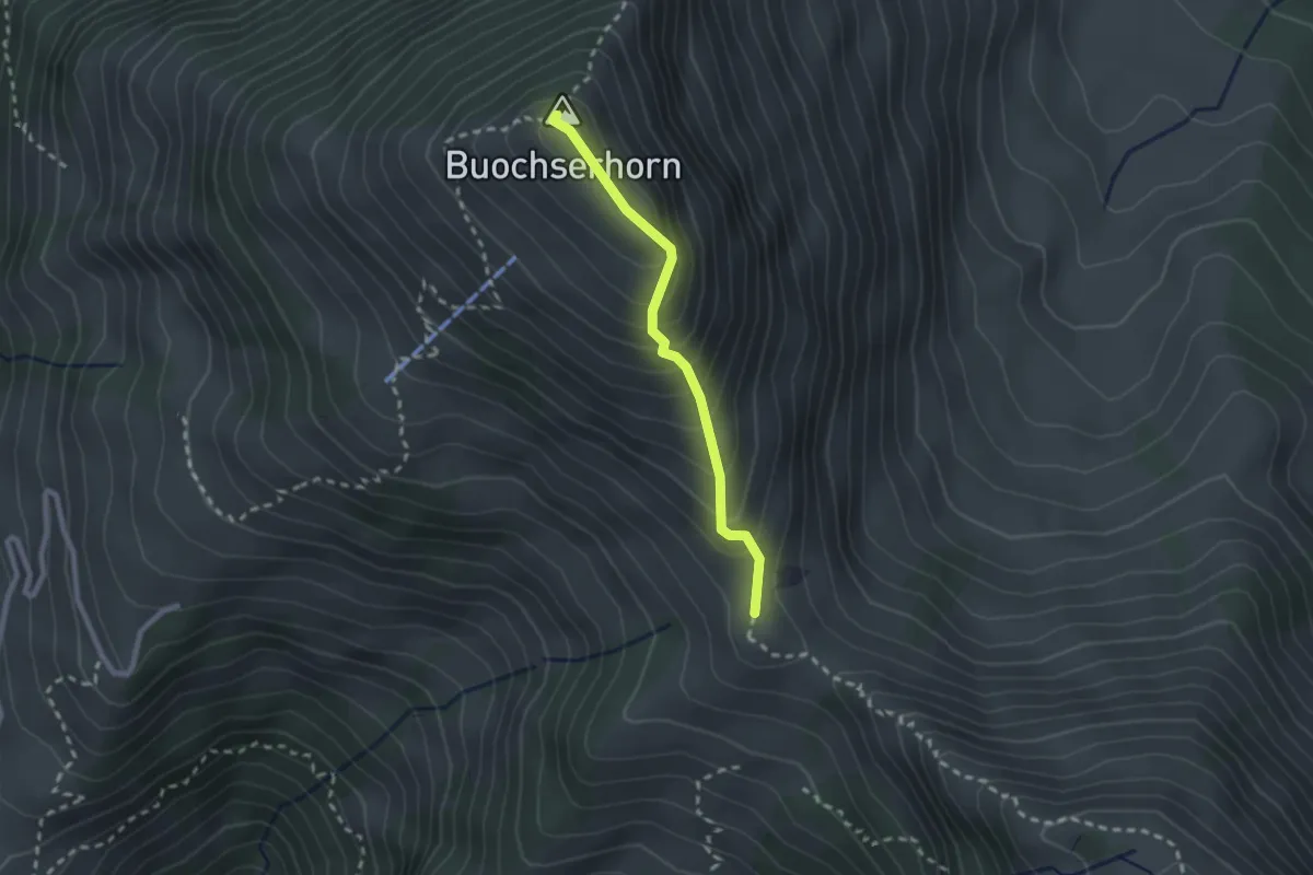
Medium · Summit
Buochserhorn – Bleikigrat
2.1 km · ↑ 213 m · 57 min · 15 km away
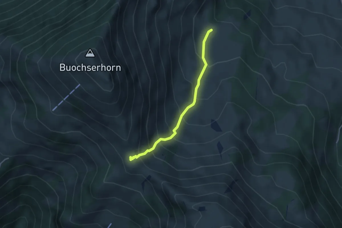
Medium · Trail
Unter Spis – Bleikigrat
2.9 km · ↑ 342 m · 1 h 25 min · 15 km away
Easy · Trail
Brunhöf - Hackenrain
2.2 km · ↑ 40 m · 36 min · 15 km away
Easy · Trail
Hackenrain - Kriens Hofmatt
3.4 km · ↑ 69 m · 57 min · 15 km away