Trails near Schlieren
524 hikes starting within 15 km, nearest first.
Nearest first, page 11 of 11
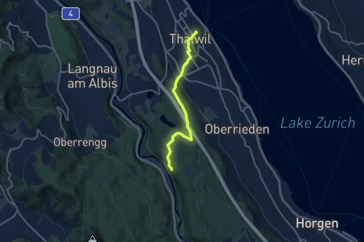
Easy · Trail
Thalwil (Bahnhof) – Schlegeltobel
7.5 km · ↑ 214 m · 2 h 15 min · 14 km away
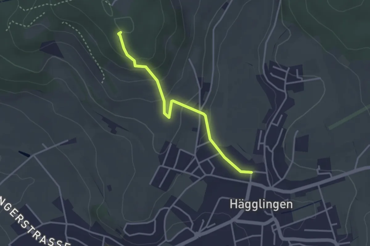
Easy · Summit
Meiengrüen – Hägglingen
2.9 km · ↑ 133 m · 58 min · 14 km away
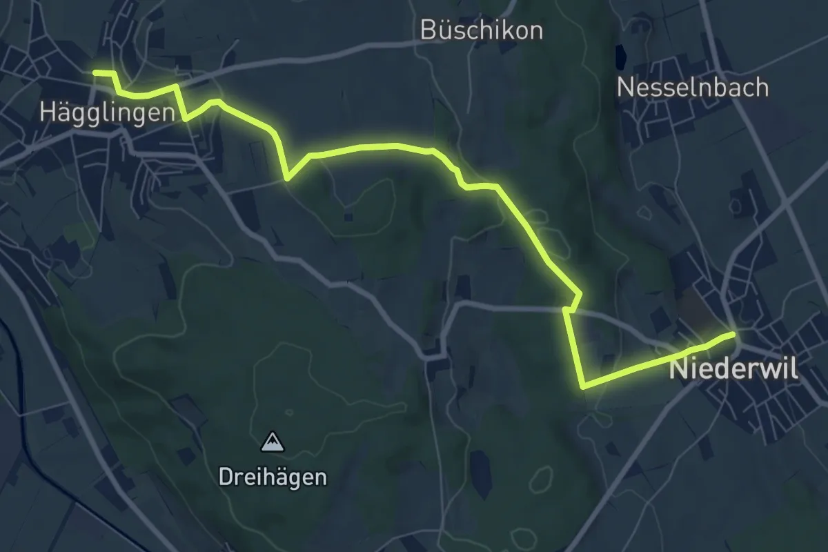
Medium · Trail
Niederwil - Hägglingen
9.1 km · ↑ 237 m · 2 h 40 min · 14 km away
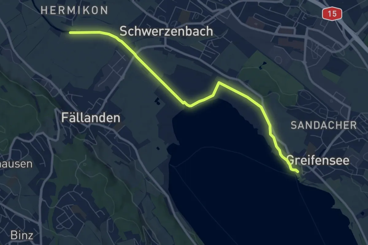
Medium · Trail
Hermikon – Greifensee
8.4 km · ↑ 13 m · 2 h · 14 km away
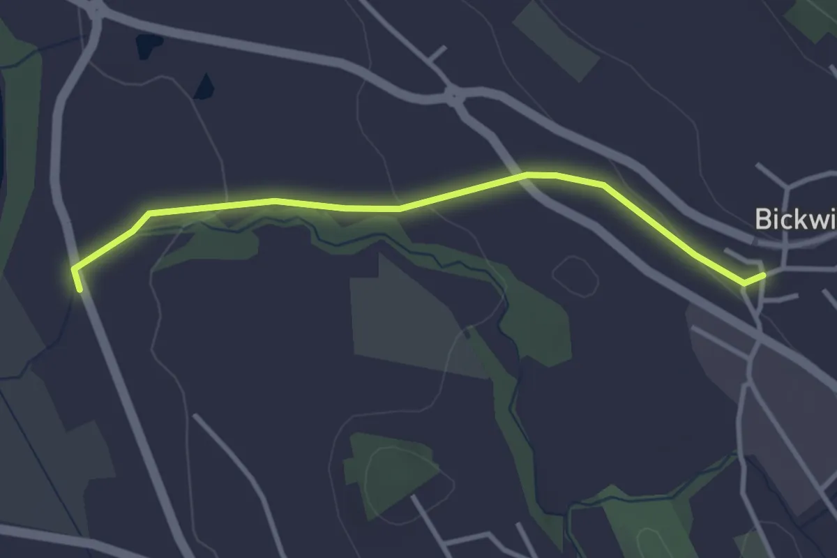
Easy · Trail
Bickwil - Rickenbach
3.0 km · ↑ 62 m · 51 min · 14 km away
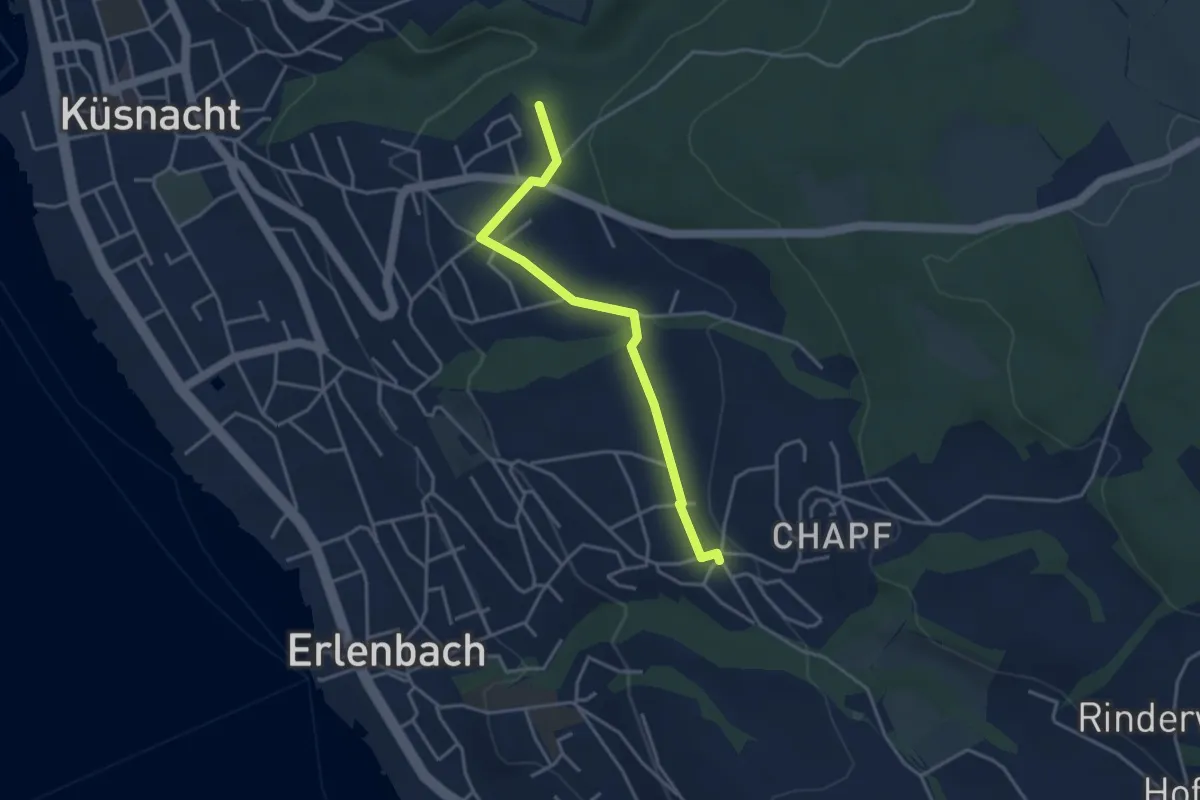
Easy · Trail
Küsnachter Tobel – Erlenbach Allmend
3.6 km · ↑ 47 m · 58 min · 14 km away
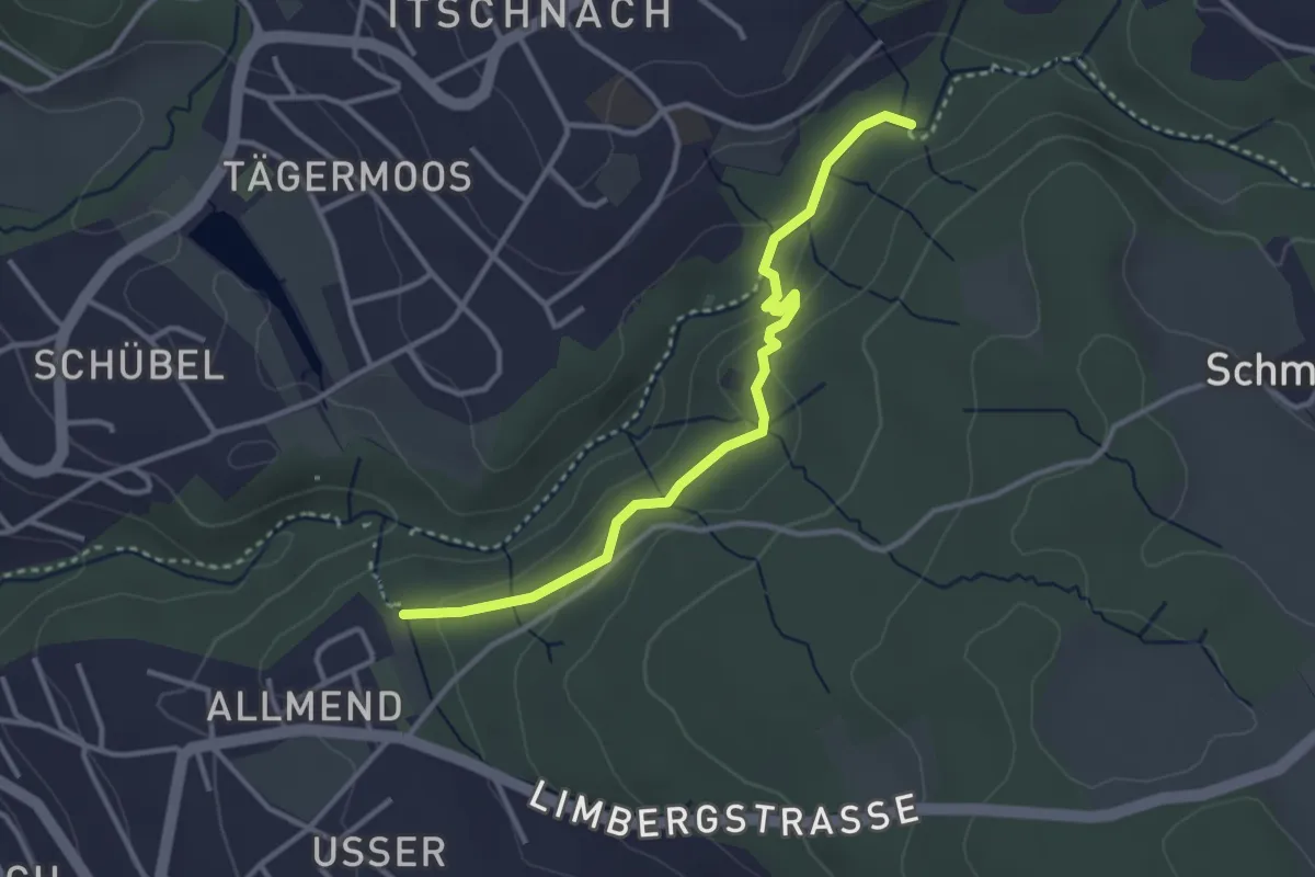
Easy · Trail
Küsnachter Tobel – Johannisburg
3.3 km · ↑ 108 m · 1 h · 14 km away
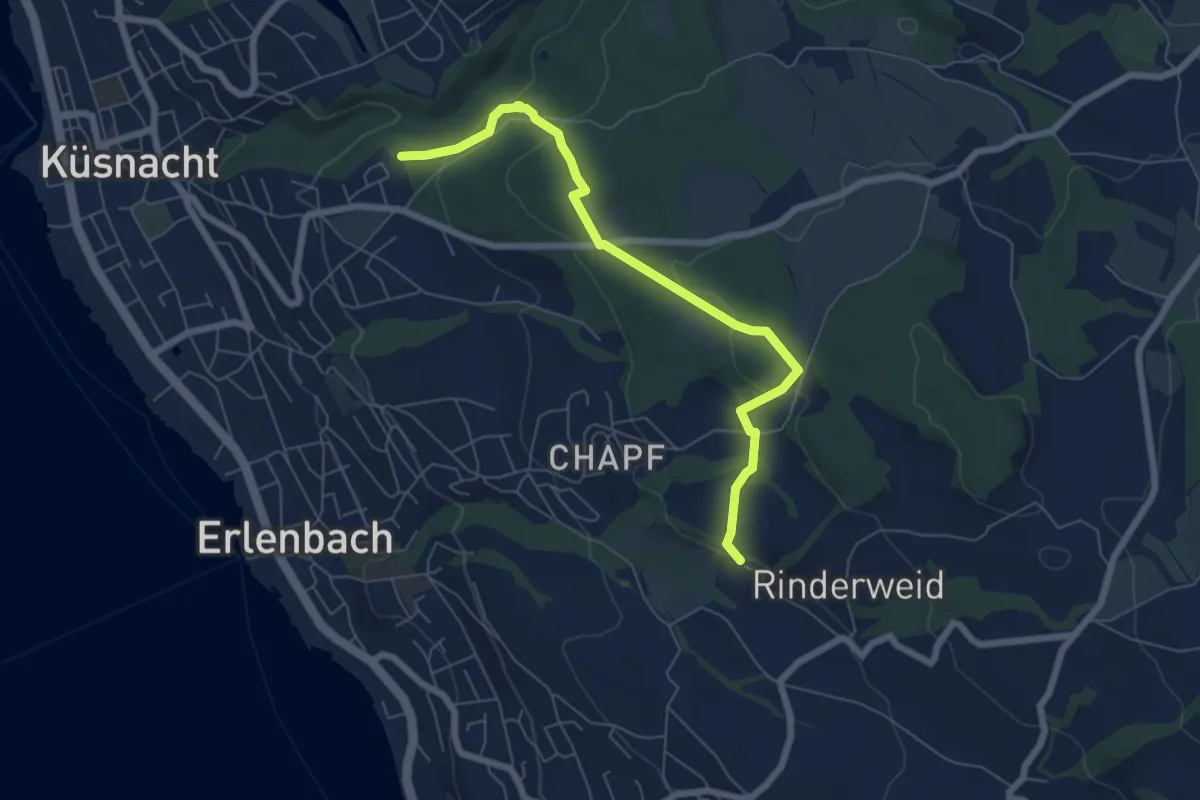
Easy · Trail
Küsnachter Tobel – Blüemlisalp
6.6 km · ↑ 227 m · 2 h 3 min · 14 km away
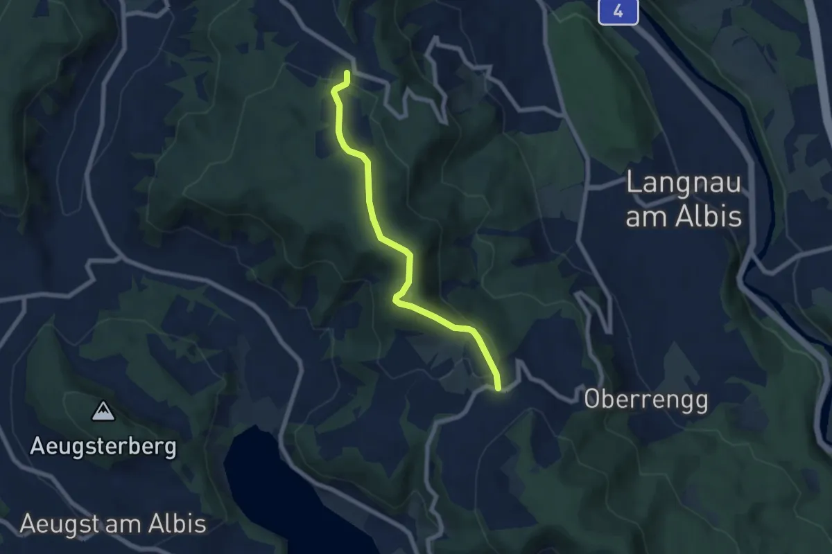
Easy · Trail
Näfenhüser – Albispass
5.7 km · ↑ 240 m · 1 h 52 min · 15 km away
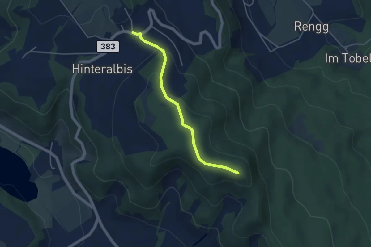
Easy · Trail
Albispass – Albis Hochwacht
3.2 km · ↑ 89 m · 57 min · 15 km away
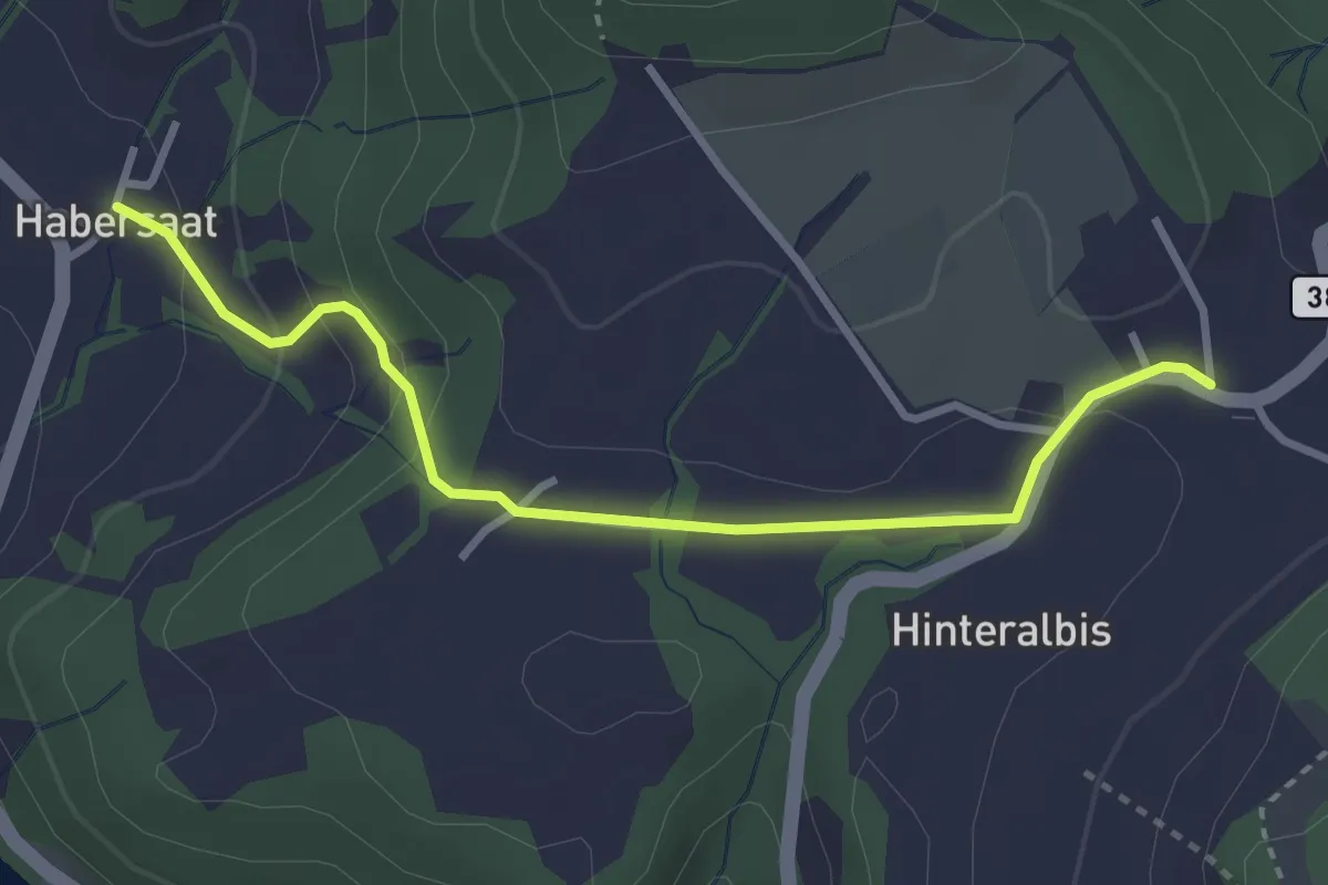
Easy · Trail
Albispass – Habersaat
3.2 km · ↑ 124 m · 1 h 1 min · 15 km away
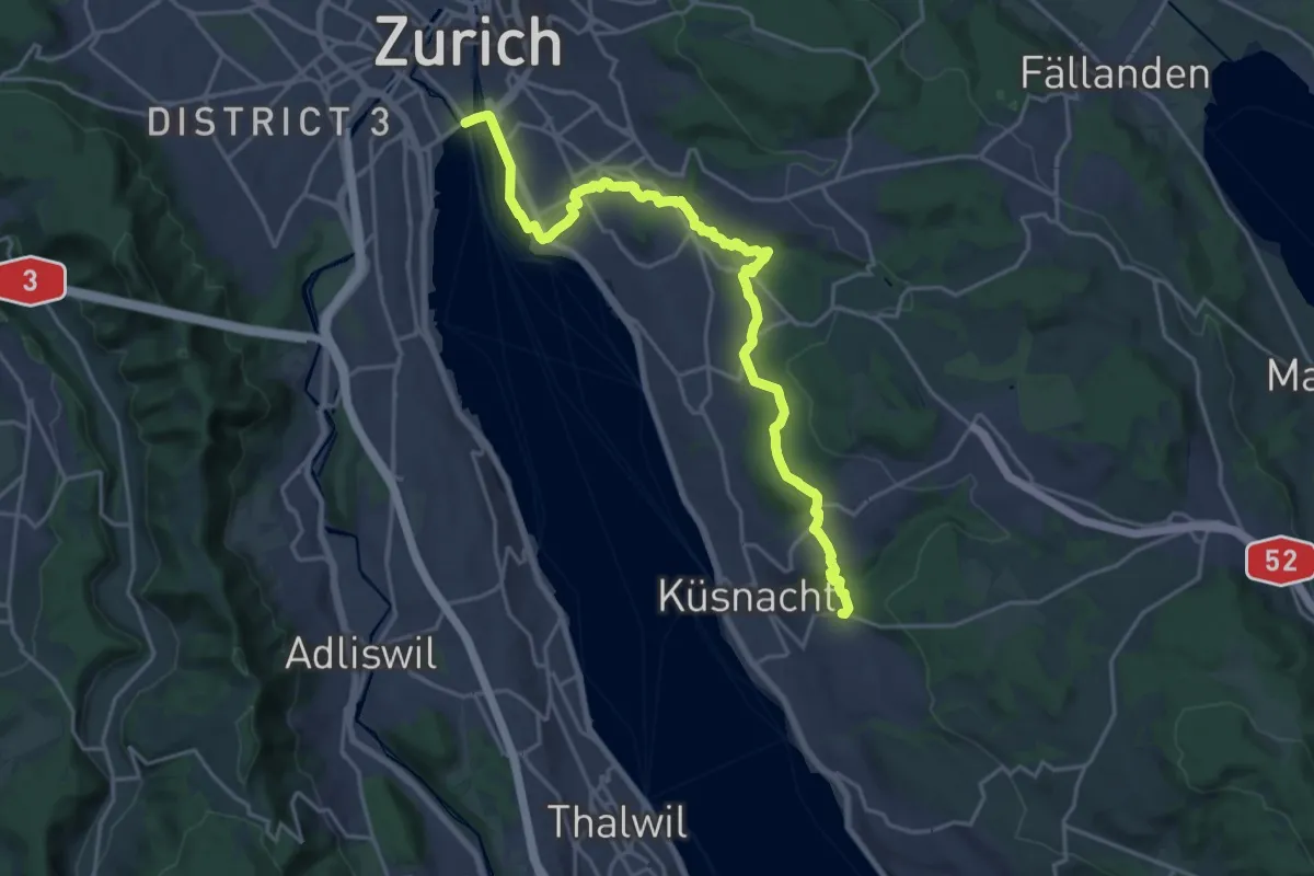
Demanding · Trail
Zürichsee Rundweg - Etappe 10
21.9 km · ↑ 333 m · 5 h 53 min · 15 km away
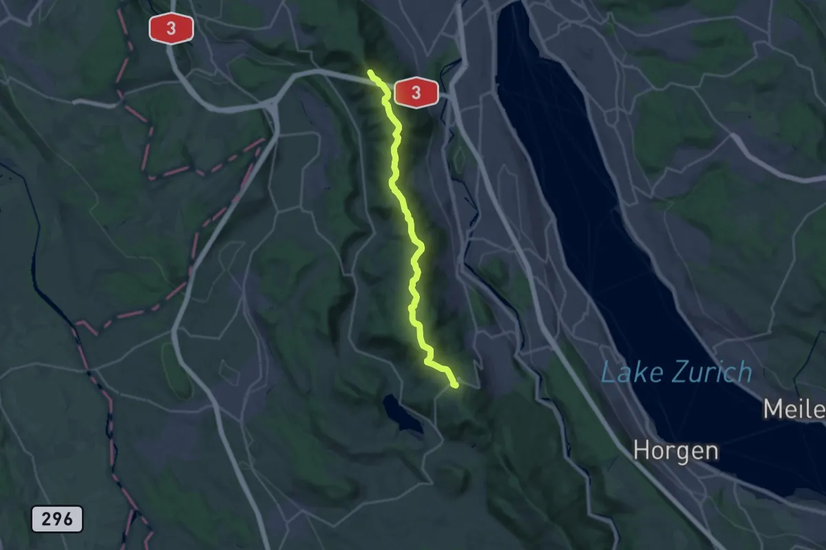
Demanding · Summit
Zürich-Zugerland-Panoramaweg - Etappe 1
19.8 km · ↑ 681 m · 6 h 10 min · 15 km away
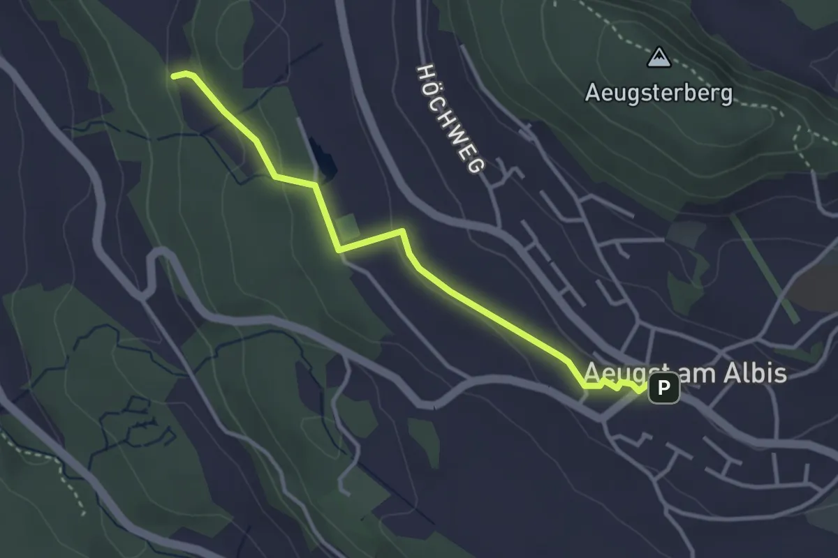
Easy · Trail
Aeugst am Albis – Sunnenbüel
3.2 km · ↑ 80 m · 55 min · 15 km away
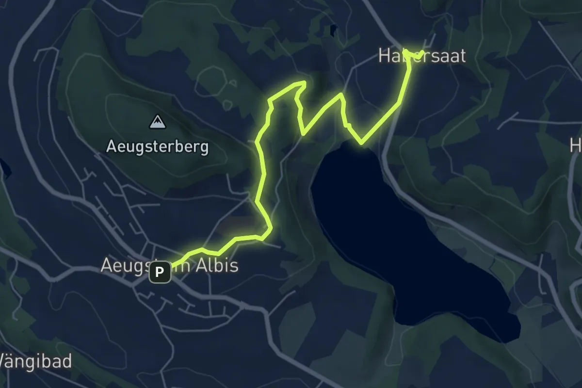
Easy · Trail
Habersaat – Aegst a.A.
6.3 km · ↑ 179 m · 1 h 53 min · 15 km away
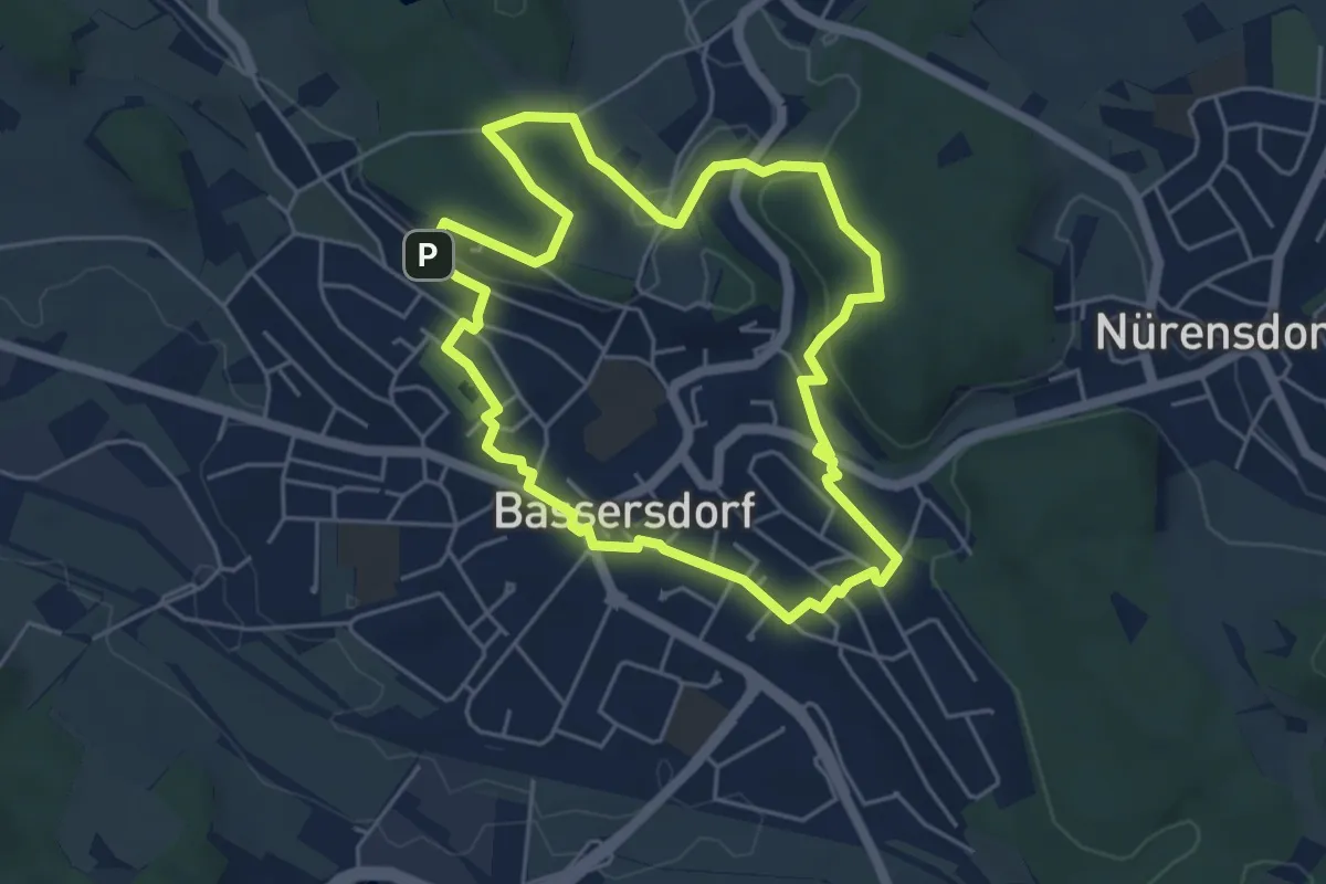
Easy · Trail
fitnessrundgang
4.8 km · ↑ 94 m · 1 h 25 min · 15 km away
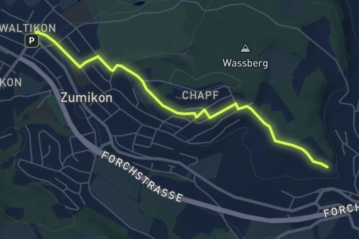
Easy · Trail
Waltikon – Wehrmännerdenkmal
5.9 km · ↑ 149 m · 1 h 43 min · 15 km away
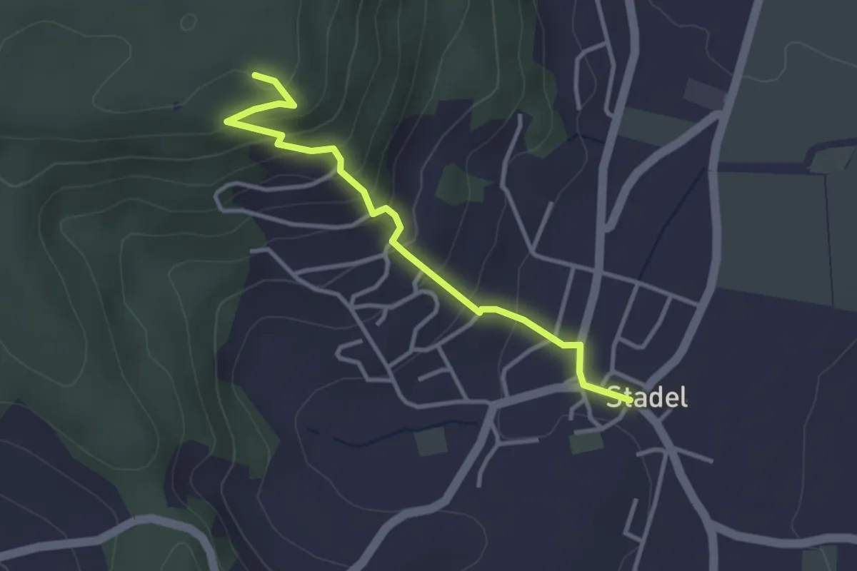
Easy · Trail
Stadel – Stadlerberg
3.2 km · ↑ 198 m · 1 h 11 min · 15 km away
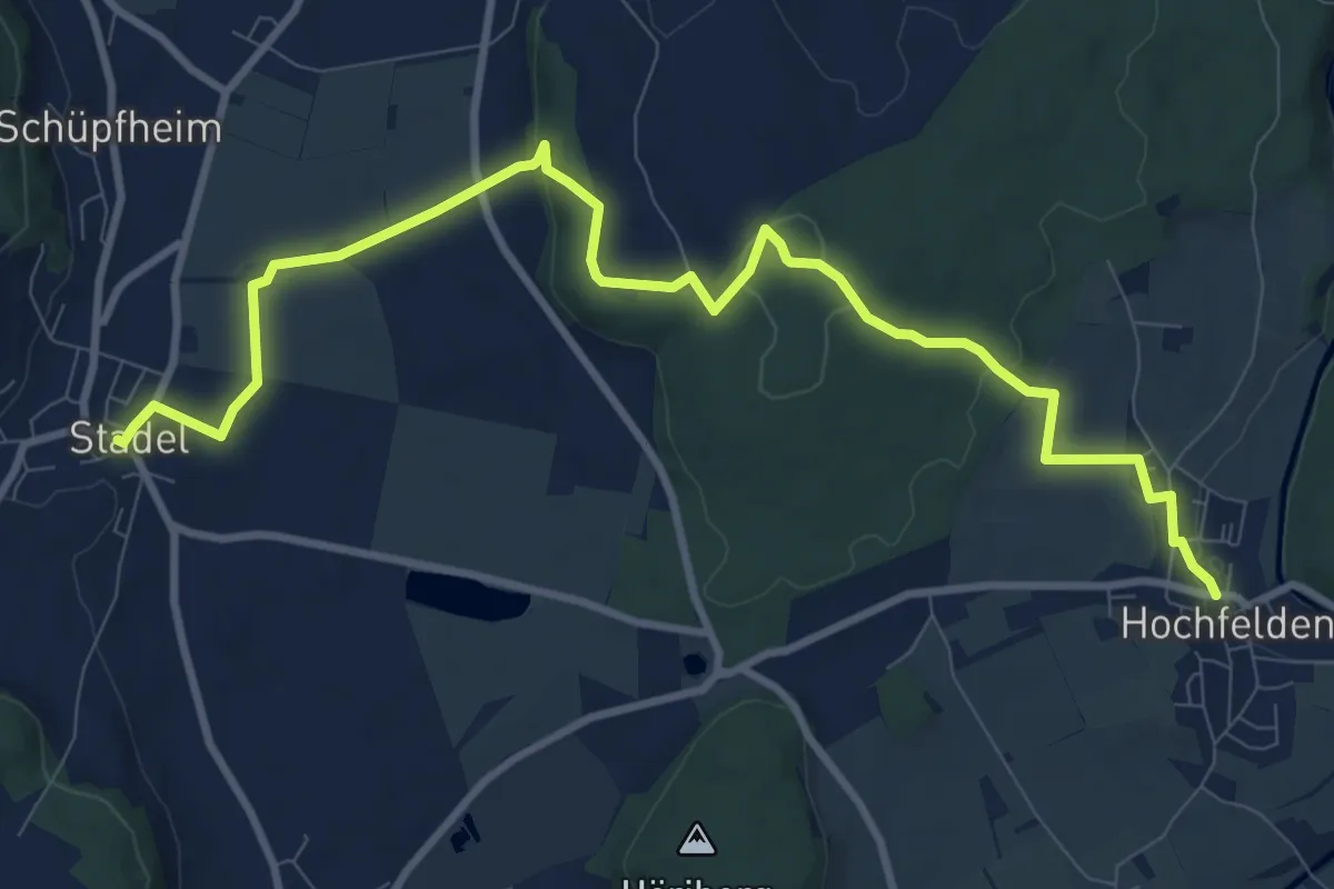
Medium · Trail
Hochfelden – Stadel
11.4 km · ↑ 236 m · 3 h 13 min · 15 km away
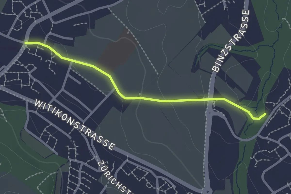
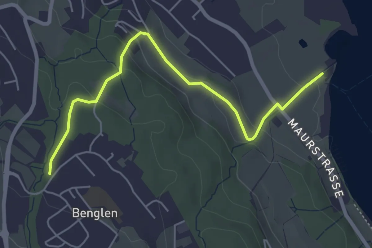
Easy · Trail
Benglen - Pfaffhausen
2.2 km · ↑ 39 m · 36 min · 15 km away
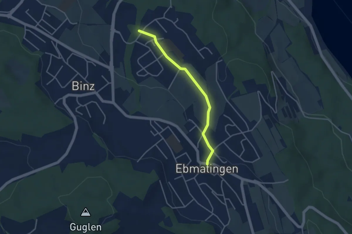
Easy · Trail
Benglen - Fällanden Rohr
4.8 km · ↑ 133 m · 1 h 25 min · 15 km away
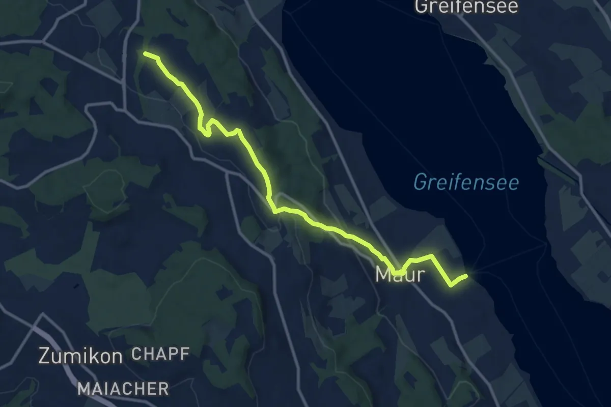
Easy · Trail
Ebmatingen - Benglen
2.9 km · ↑ 33 m · 46 min · 15 km away
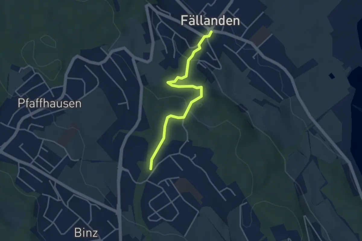
Medium · Trail
Benglen – Maur Schifflände
10.7 km · ↑ 228 m · 3 h 1 min · 15 km away
Easy · Trail
Fällanden - Benglen
3.3 km · ↑ 117 m · 1 h 1 min · 15 km away
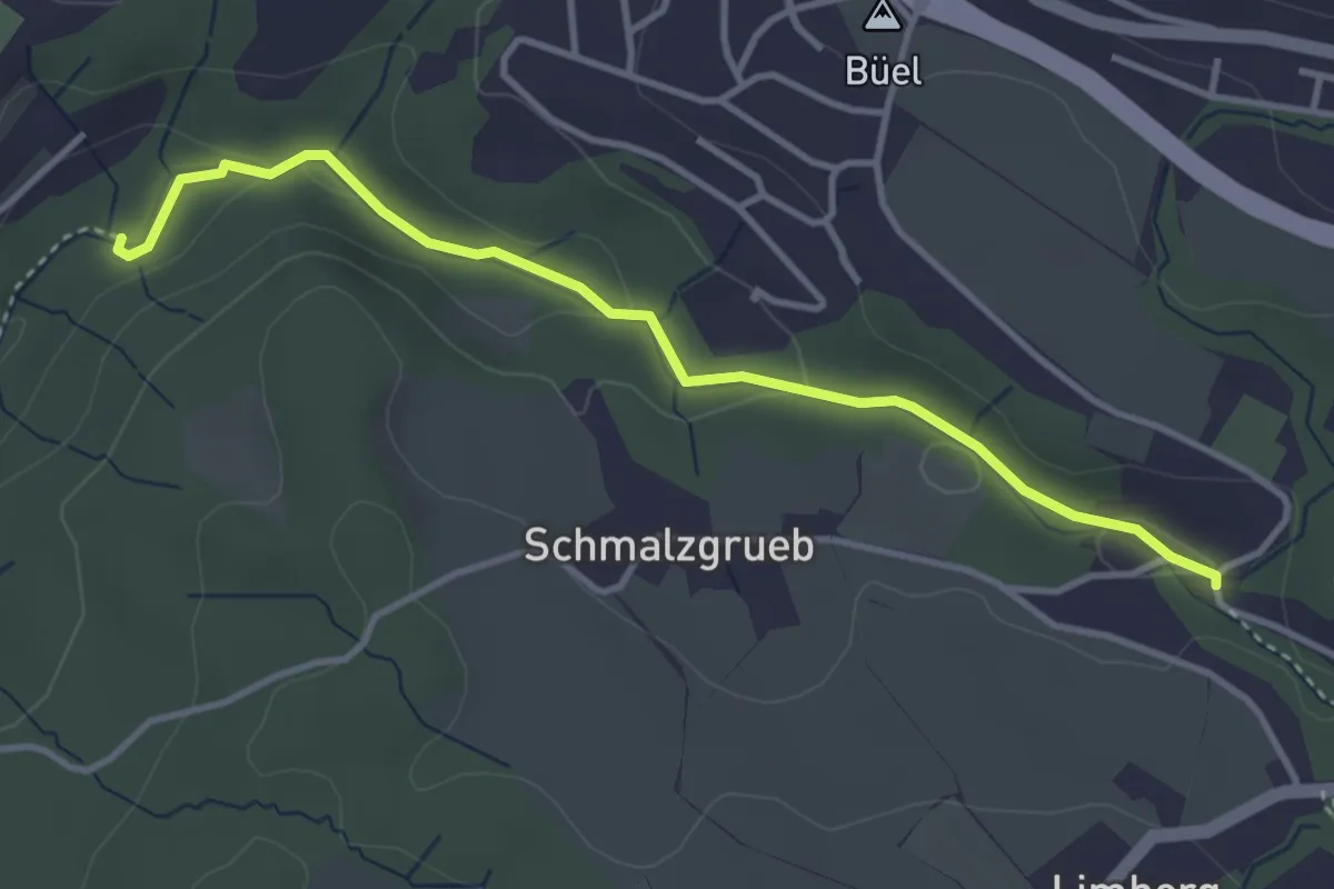
Easy · Trail
Johannisburg – Tobelmüli
3.7 km · ↑ 87 m · 1 h 4 min · 15 km away
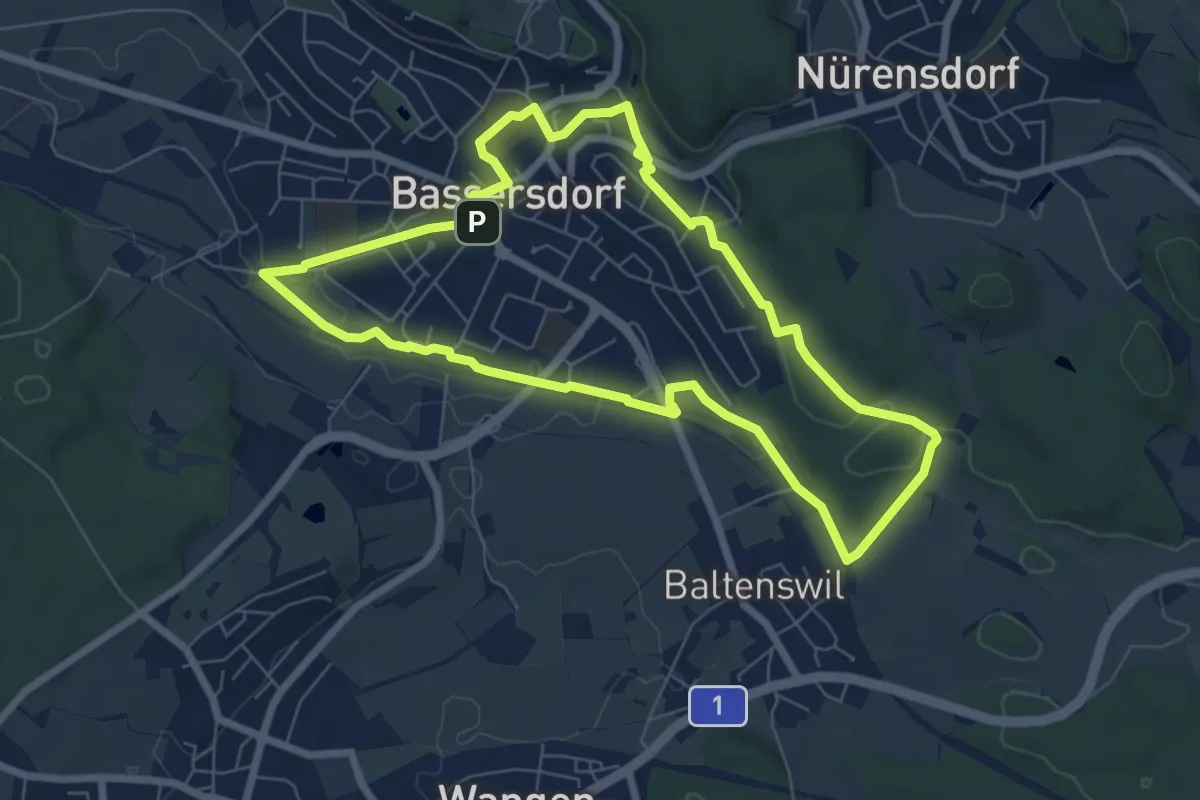
Easy · Trail
grosser dorfrundgang
6.7 km · ↑ 78 m · 1 h 51 min · 15 km away
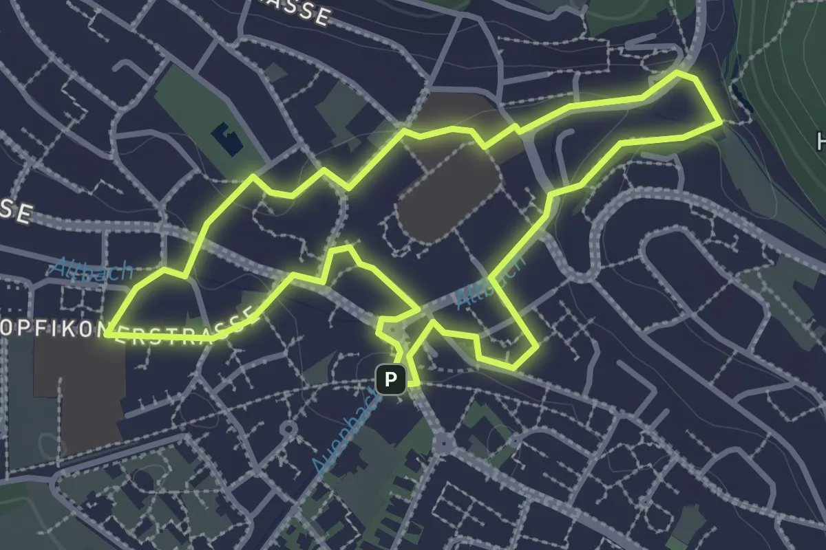
Easy · Trail
geschichtspfad bassersdorf
3.0 km · ↑ 35 m · 49 min · 15 km away
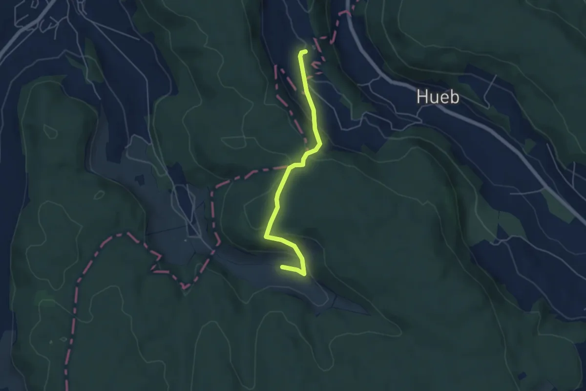
Easy · Trail
Waldhusen – Wattwil
4.4 km · ↑ 199 m · 1 h 29 min · 15 km away
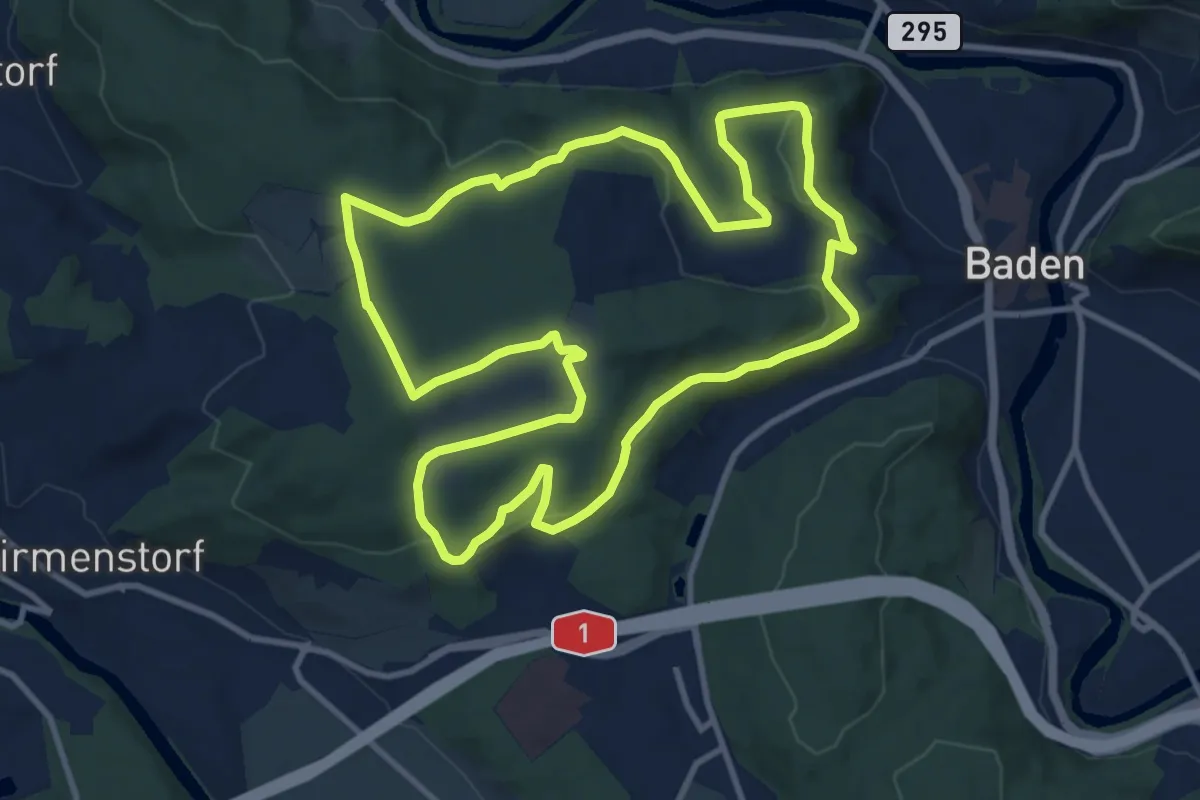
Medium · Summit
Badener Running Walking Trail Lang
11.2 km · ↑ 222 m · 3 h 17 min · 15 km away
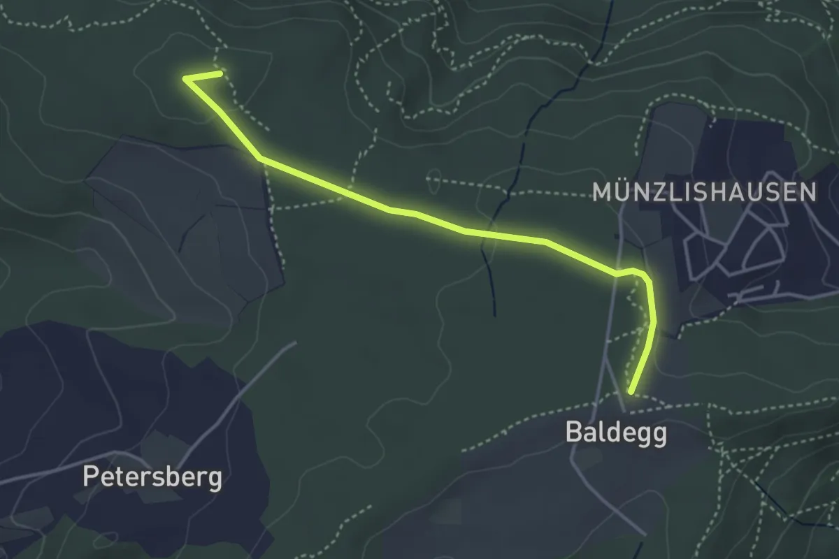
Easy · Summit
Baldegg-Chörnlisberg
3.7 km · ↑ 32 m · 57 min · 15 km away
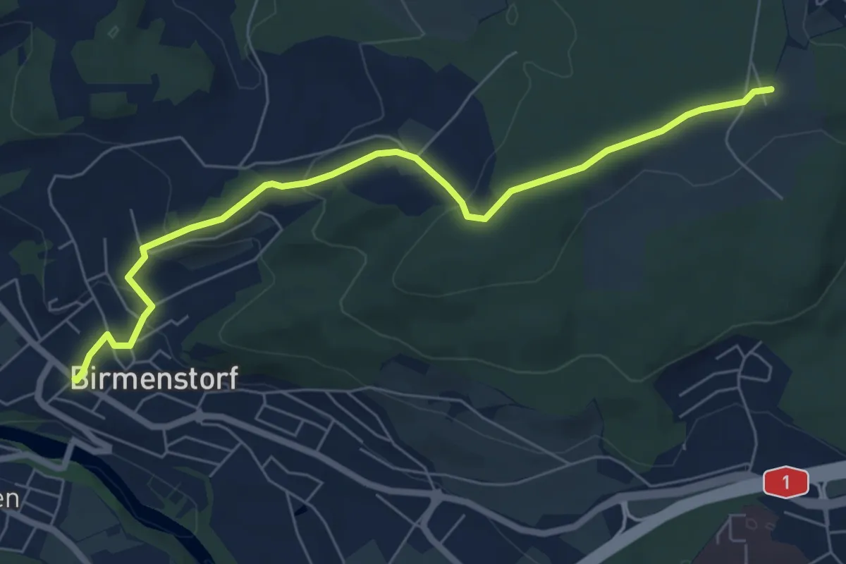
Easy · Trail
Birmenstorf - Petersberg - Baldegg
6.8 km · ↑ 190 m · 2 h · 15 km away
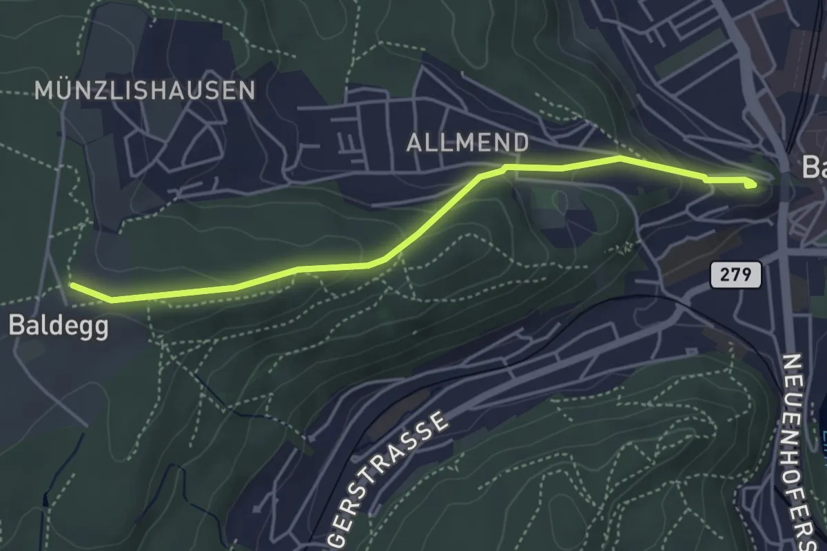
Easy · Trail
Ruine Stein-Baldegg
4.2 km · ↑ 150 m · 1 h 19 min · 15 km away
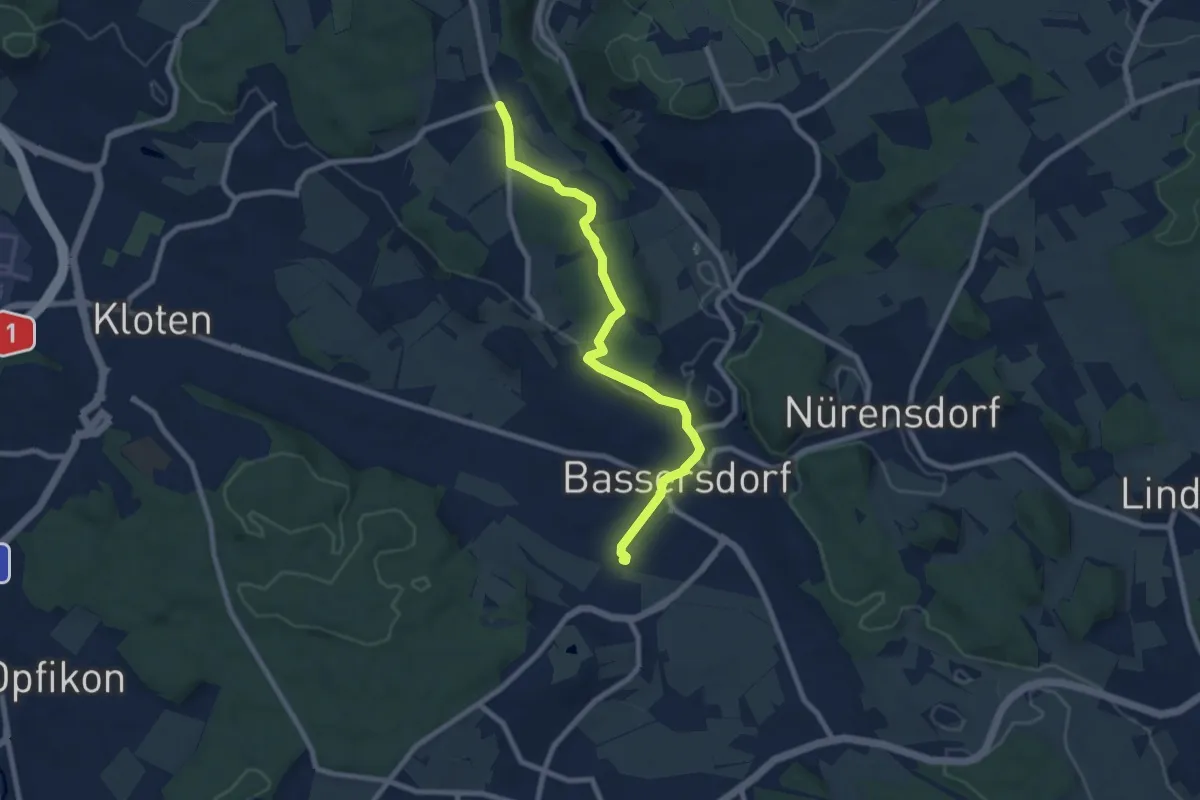
Medium · Trail
Bassersdorf – Gerlisberg
8.1 km · ↑ 128 m · 2 h 12 min · 15 km away
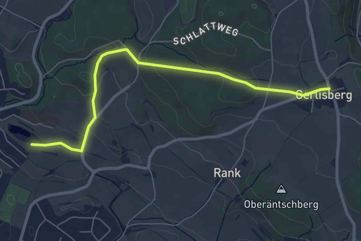
Easy · Trail
Nägelimoos – Gerlisberg
5.5 km · ↑ 105 m · 1 h 32 min · 15 km away
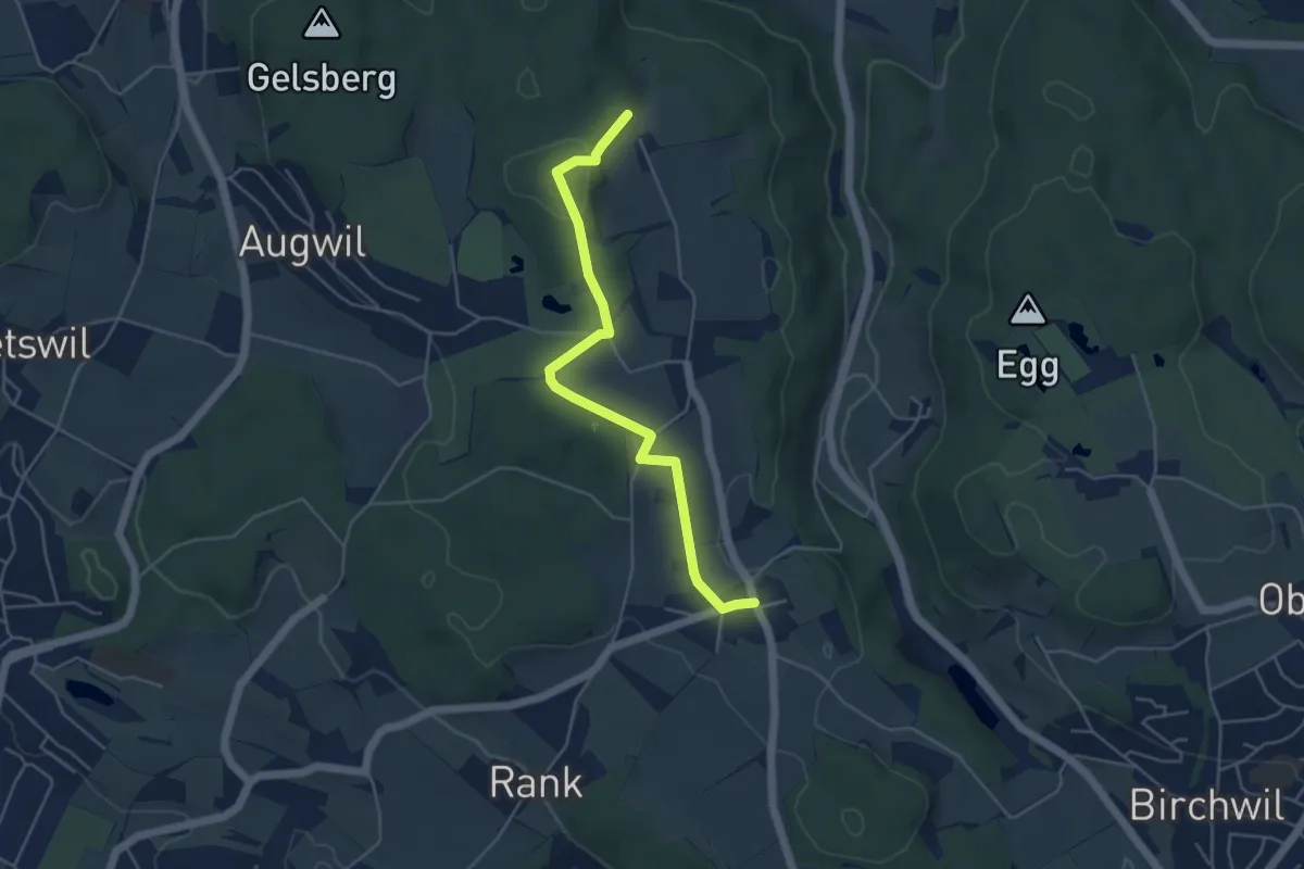
Easy · Trail
Gerlisberg - Hinterbänikon
4.7 km · ↑ 90 m · 1 h 19 min · 15 km away
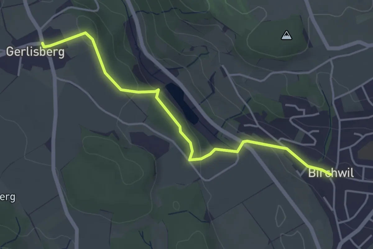
Easy · Trail
Gerlisberg - Birchwil
4.1 km · ↑ 86 m · 1 h 9 min · 15 km away
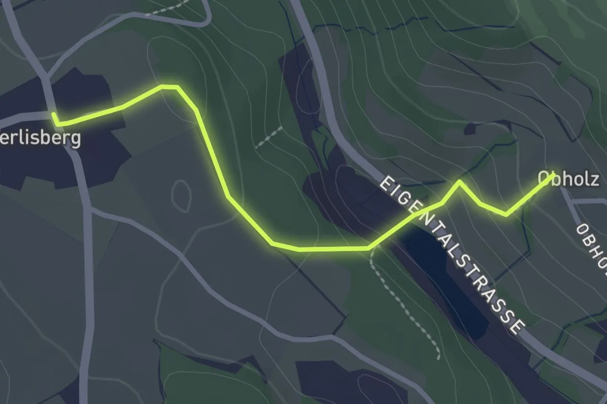
Easy · Trail
Gerlisberg – Obholz
2.4 km · ↑ 91 m · 46 min · 15 km away
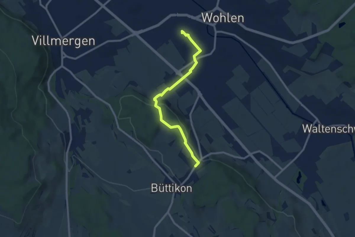
Easy · Trail
Wohlen – Büttikon
6.3 km · ↑ 135 m · 1 h 46 min · 15 km away
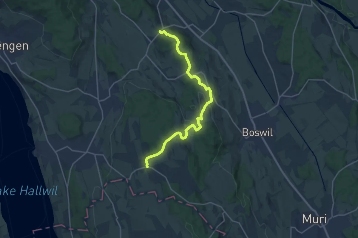
Medium · Trail
Büttikon - Bettwil
14.8 km · ↑ 422 m · 4 h 25 min · 15 km away
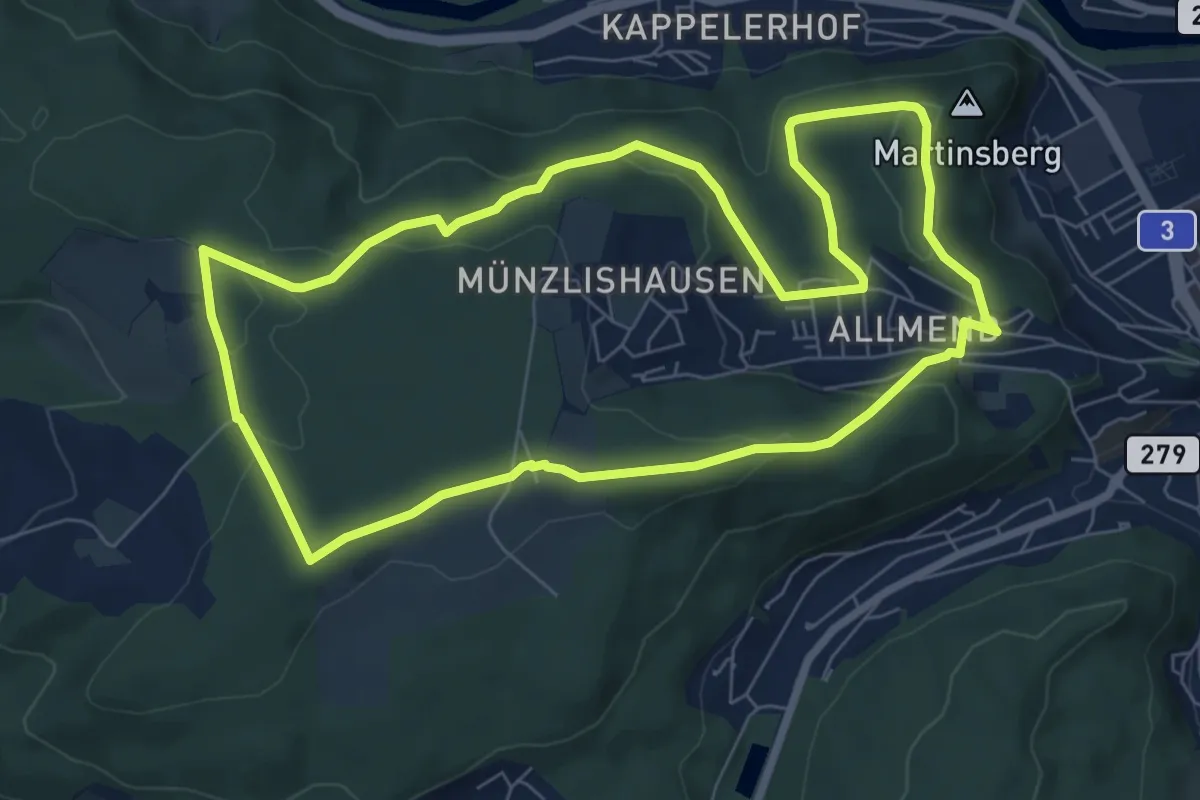
Easy · Summit
Badener Running Walking Trail Mittel
7.5 km · ↑ 154 m · 2 h 13 min · 15 km away
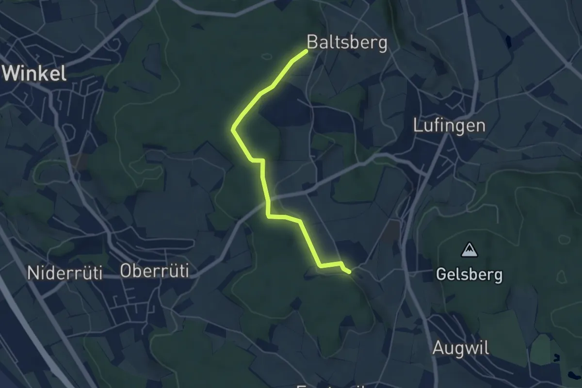
Easy · Trail
Hinter Marchlen – Husacher
4.8 km · ↑ 86 m · 1 h 19 min · 15 km away
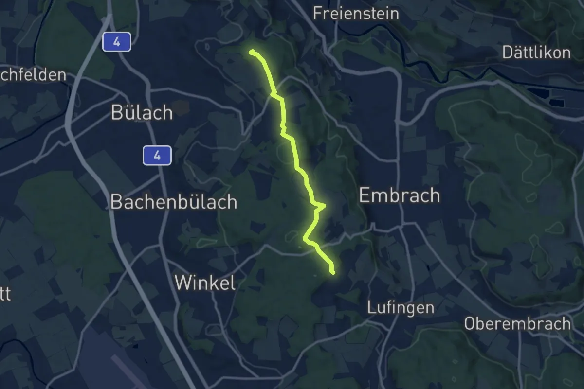
Medium · Summit
Petersboden – Husacher
8.7 km · ↑ 241 m · 2 h 35 min · 15 km away
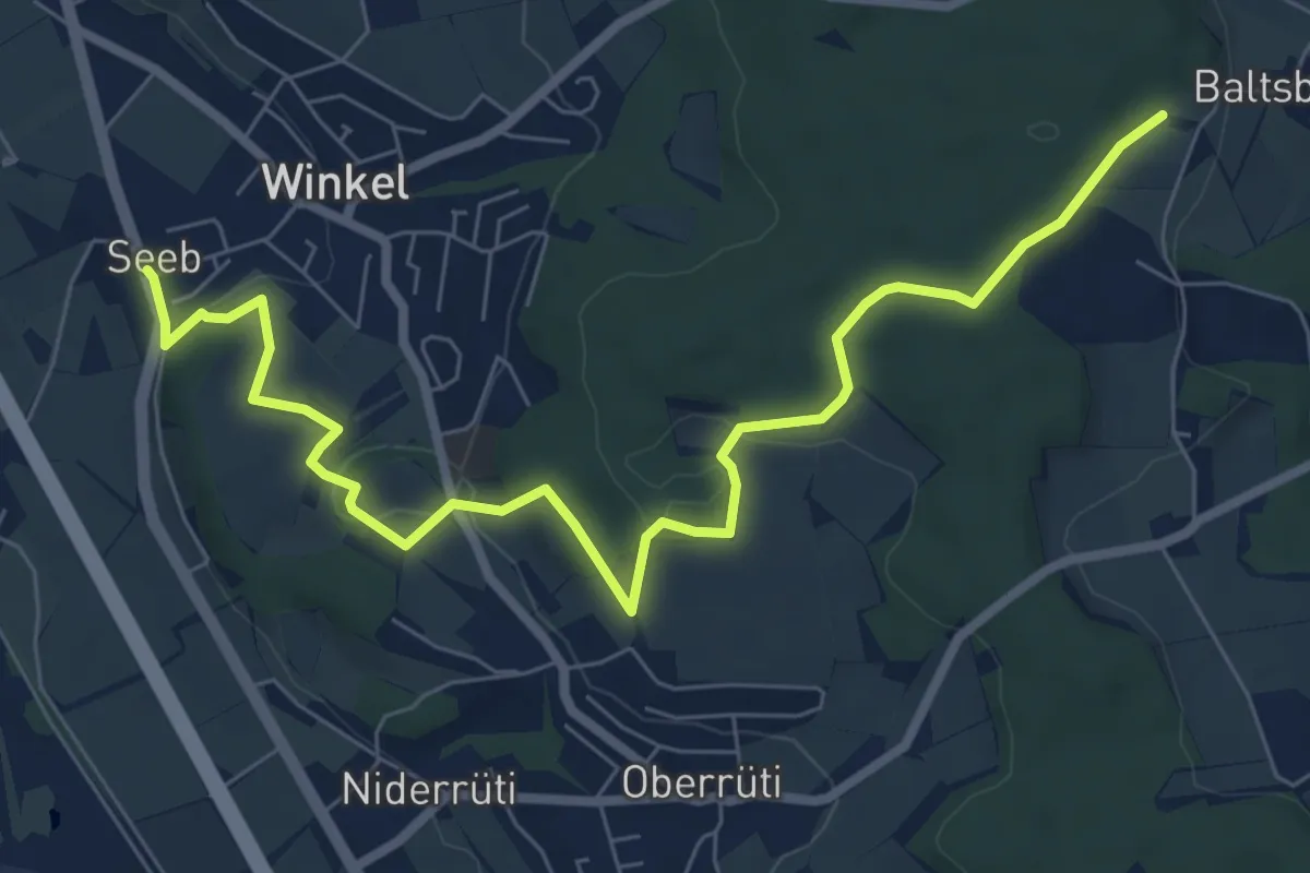
Medium · Trail
Husacher – Winkel Seeb
8.5 km · ↑ 220 m · 2 h 30 min · 15 km away
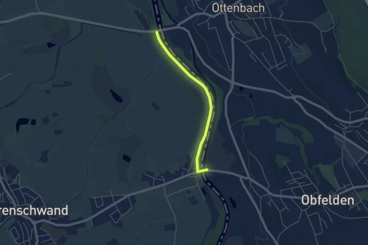
Easy · Trail
Brücke Ottenbach - Brücke Rickenbach
4.0 km · ↑ 0 m · 56 min · 15 km away