Trails near Sierre
266 hikes starting within 15 km, nearest first.
Nearest first, page 2 of 6
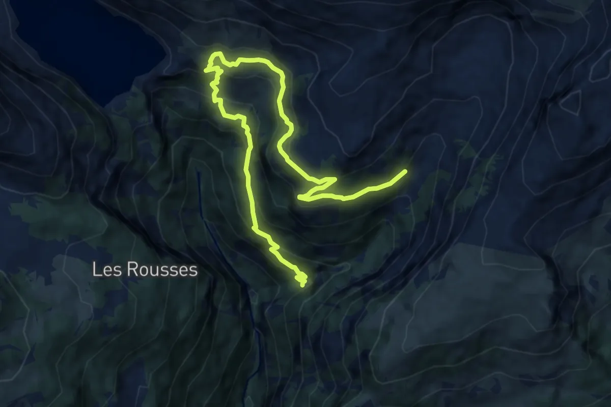
Demanding · Trail
Er de Chermignon-Pra du Taillour
12.7 km · ↑ 893 m · 4 h 56 min · 7 km away
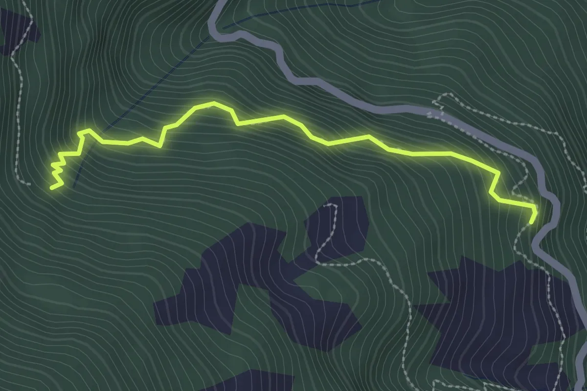
Medium · Trail
Pinsec – Les Zau Derri
2.9 km · ↑ 383 m · 1 h 30 min · 7 km away
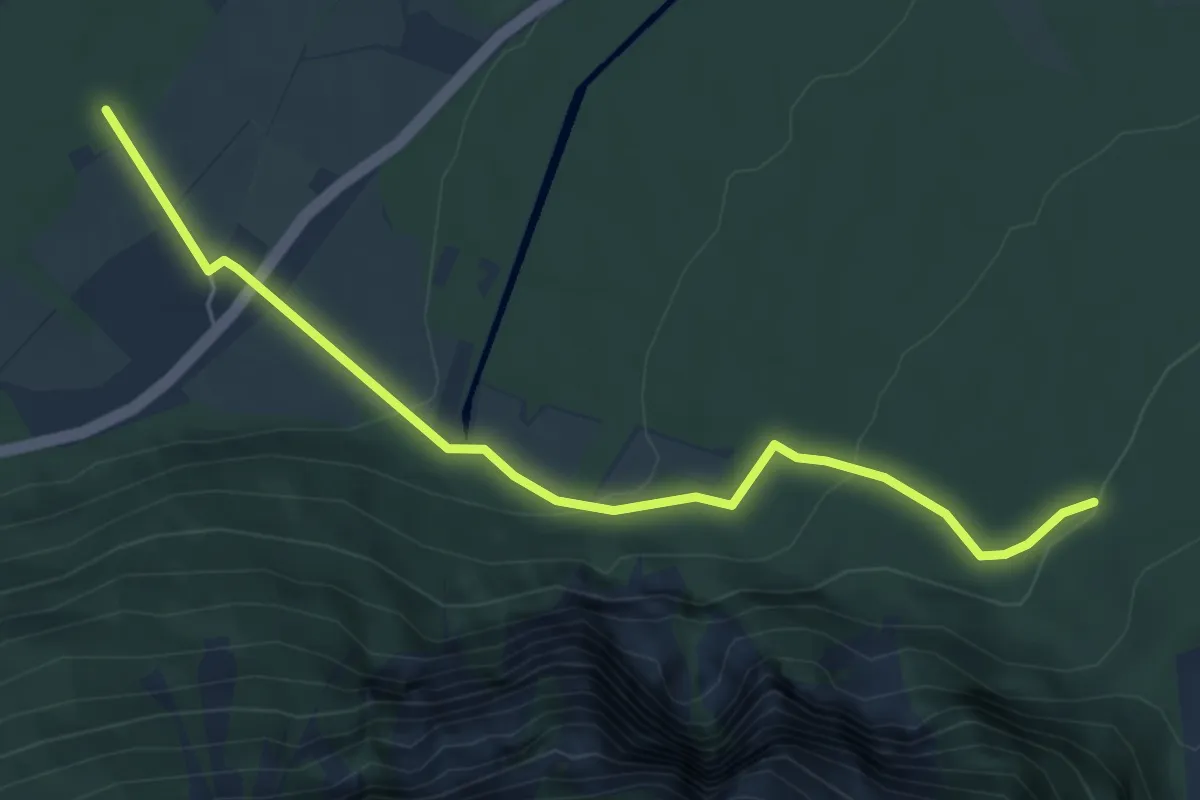
Easy · Trail
Obere Abschlacht – Pfyn
5.9 km · ↑ 184 m · 1 h 48 min · 7 km away
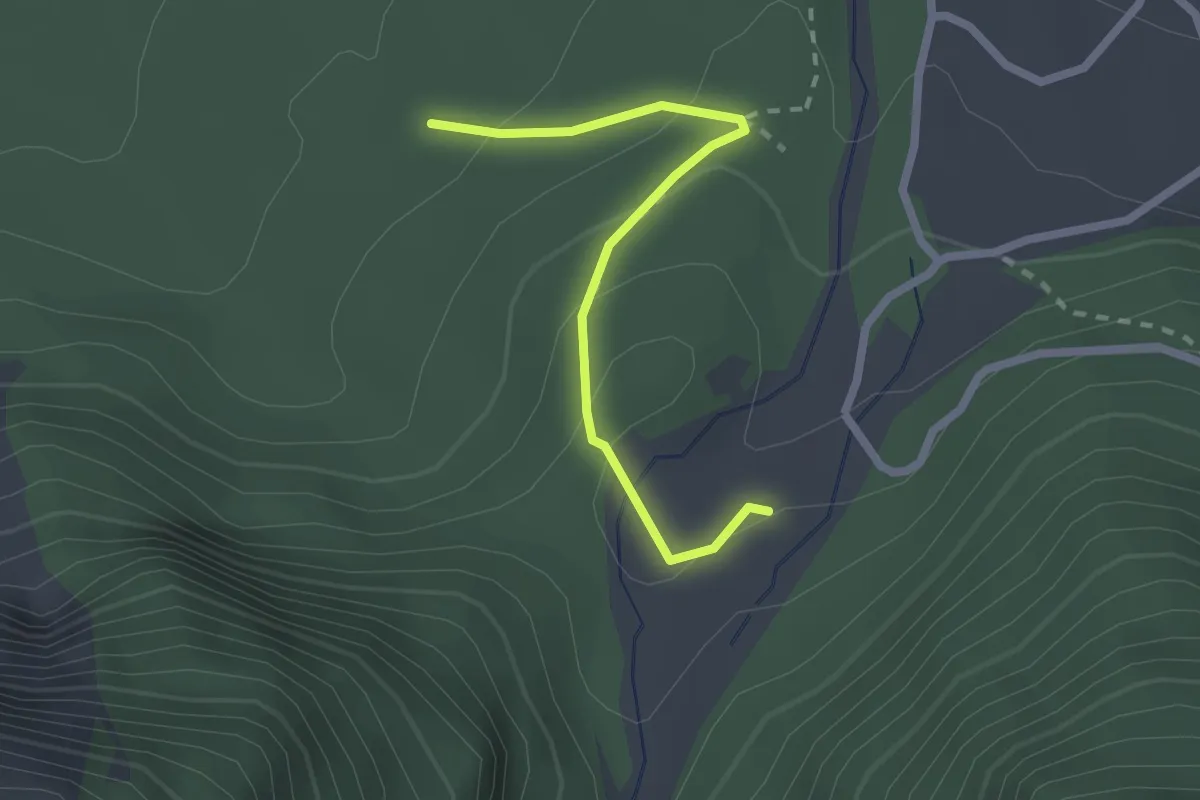
Easy · Trail
Bhutan-Brücke – Obere Abschlacht
2.2 km · ↑ 86 m · 42 min · 7 km away
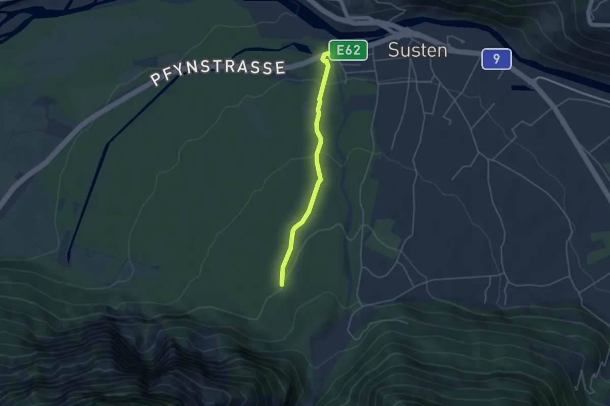
Easy · Trail
Obere Abschlacht – Susten
3.5 km · ↑ 118 m · 1 h 5 min · 7 km away
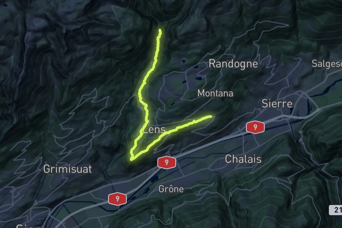
Demanding · Trail
Bisse de lens
13.6 km · ↑ 614 m · 4 h 52 min · 7 km away
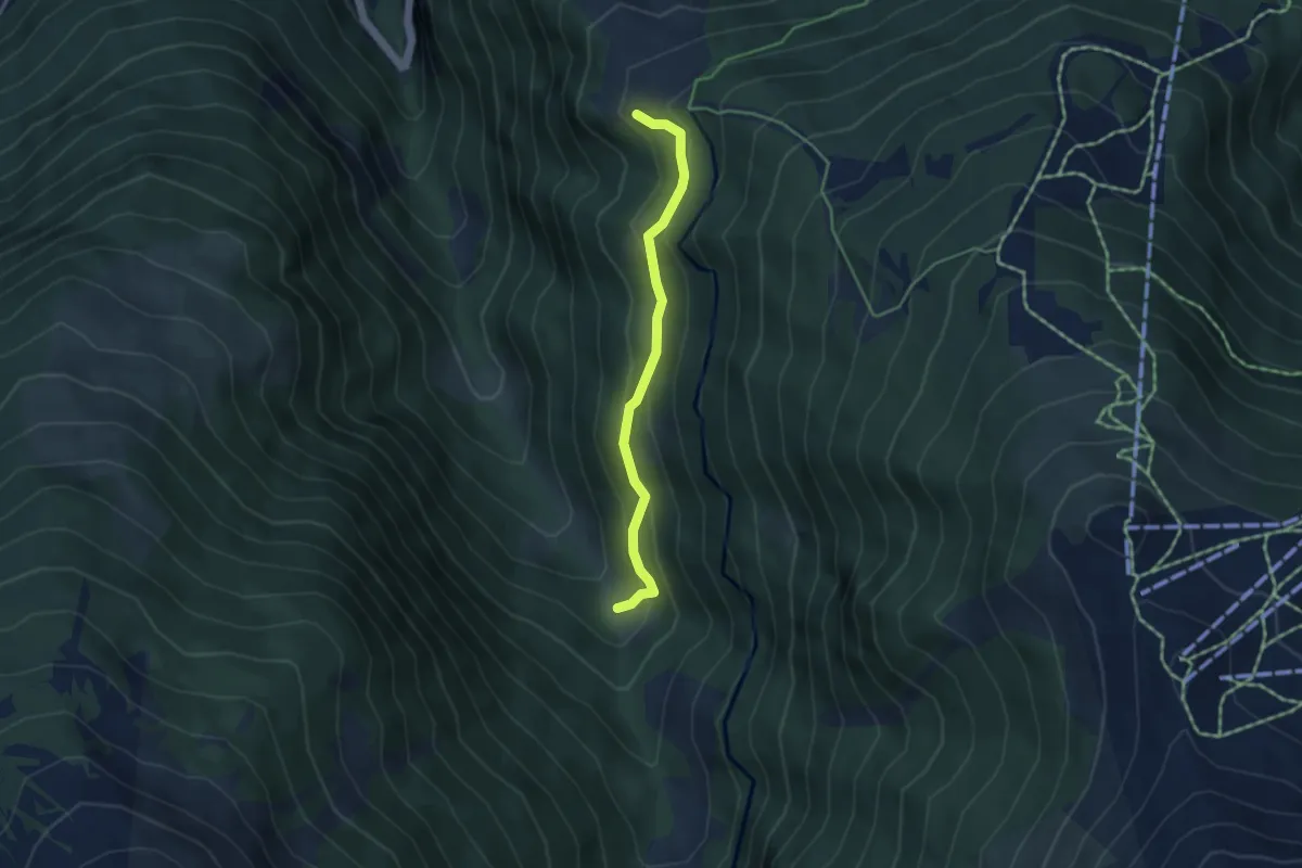
Easy · Trail
Mayens de Réchy-Les Tsâblos
3.9 km · ↑ 253 m · 1 h 28 min · 8 km away
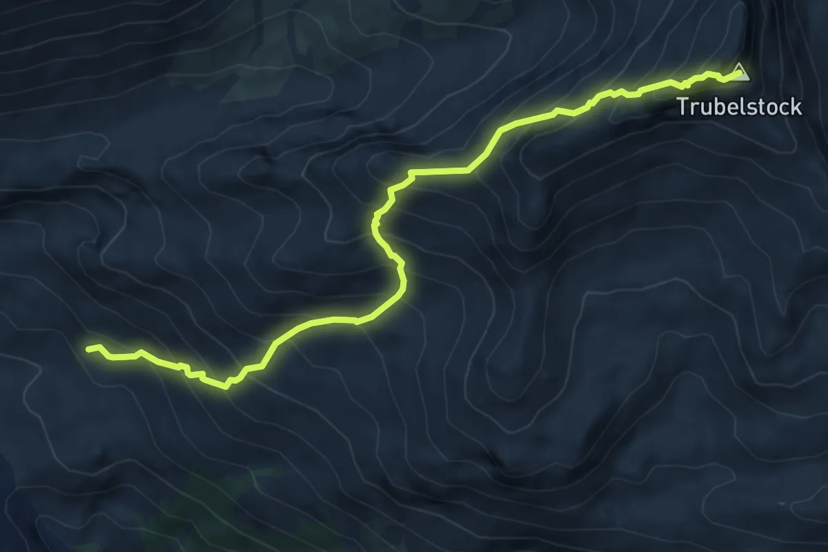
Demanding · Summit
Montagne du Plan - Trubelstock
7.5 km · ↑ 833 m · 3 h 35 min · 8 km away
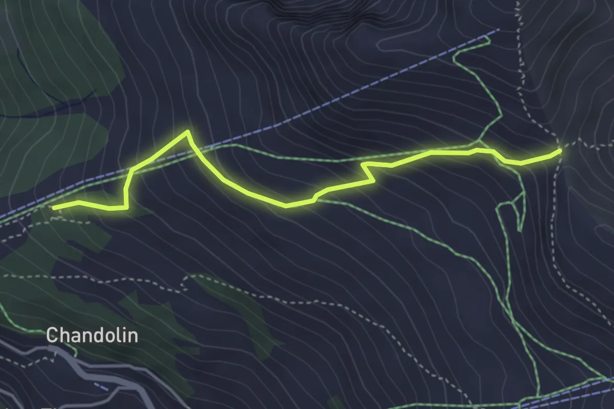
Medium · Cabin
Pas de l'Illsee-cabane de l'Illhorn
3.9 km · ↑ 401 m · 1 h 47 min · 8 km away
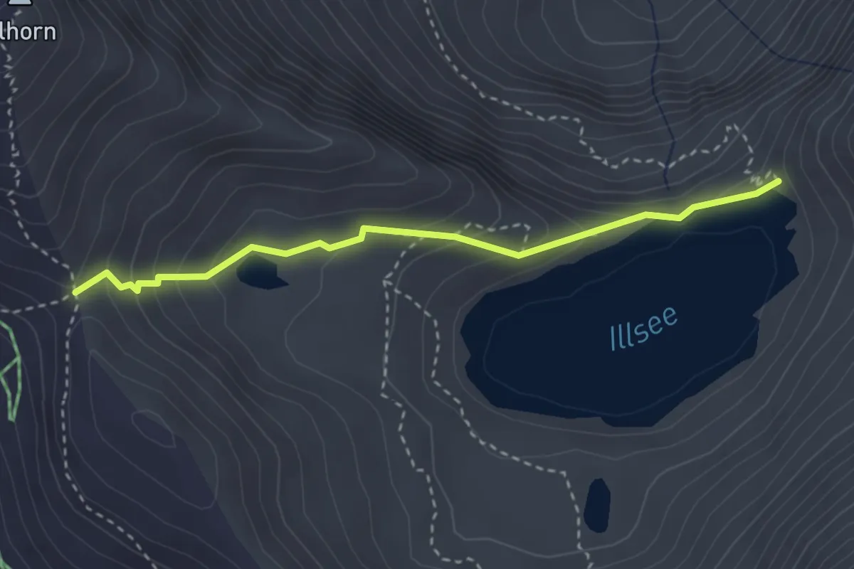
Medium · Trail
Pas de l'Illsee – Illsee
3.0 km · ↑ 199 m · 1 h 9 min · 8 km away
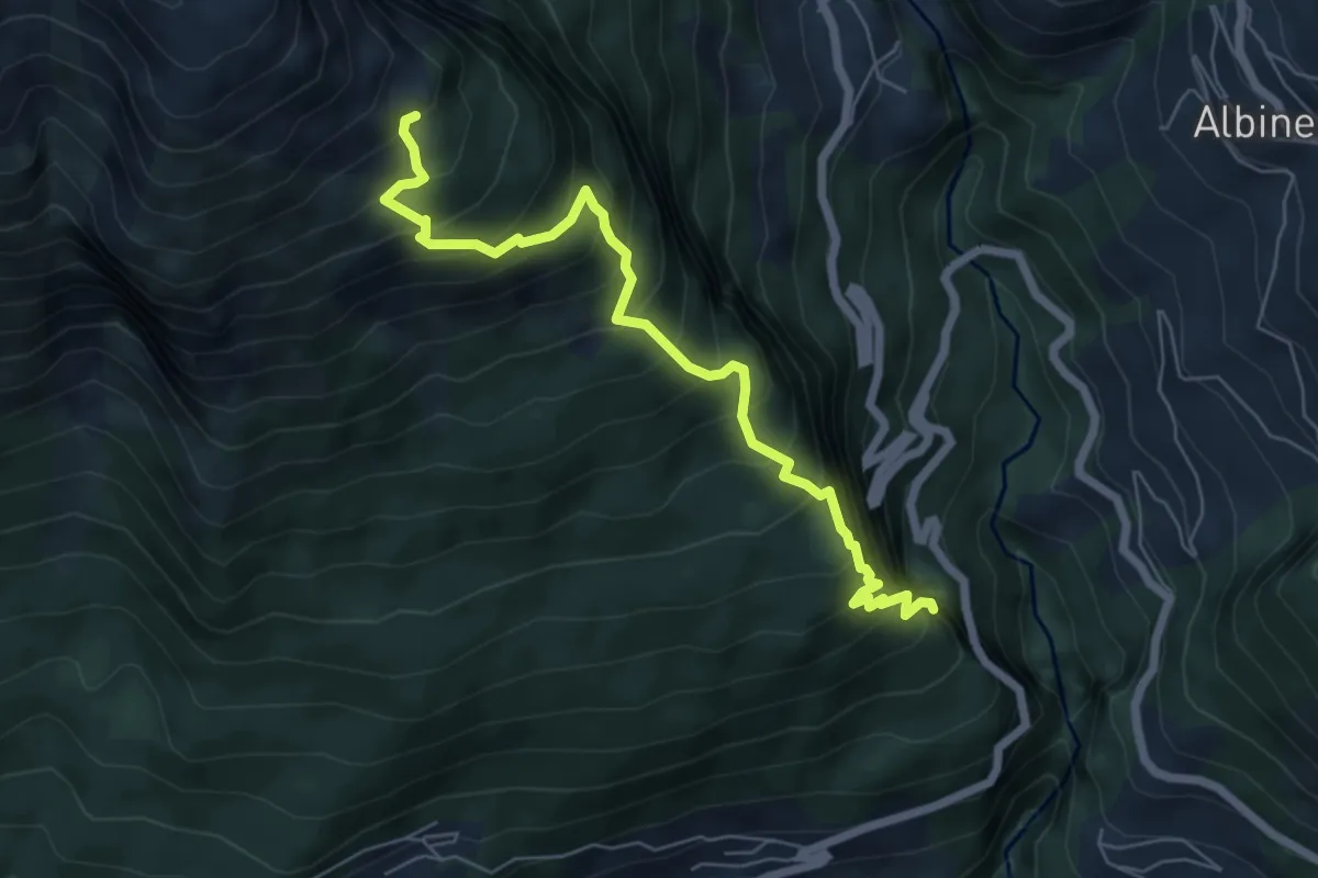
Demanding · Trail
Chäller – Varner Leitern
6.5 km · ↑ 941 m · 3 h 35 min · 8 km away
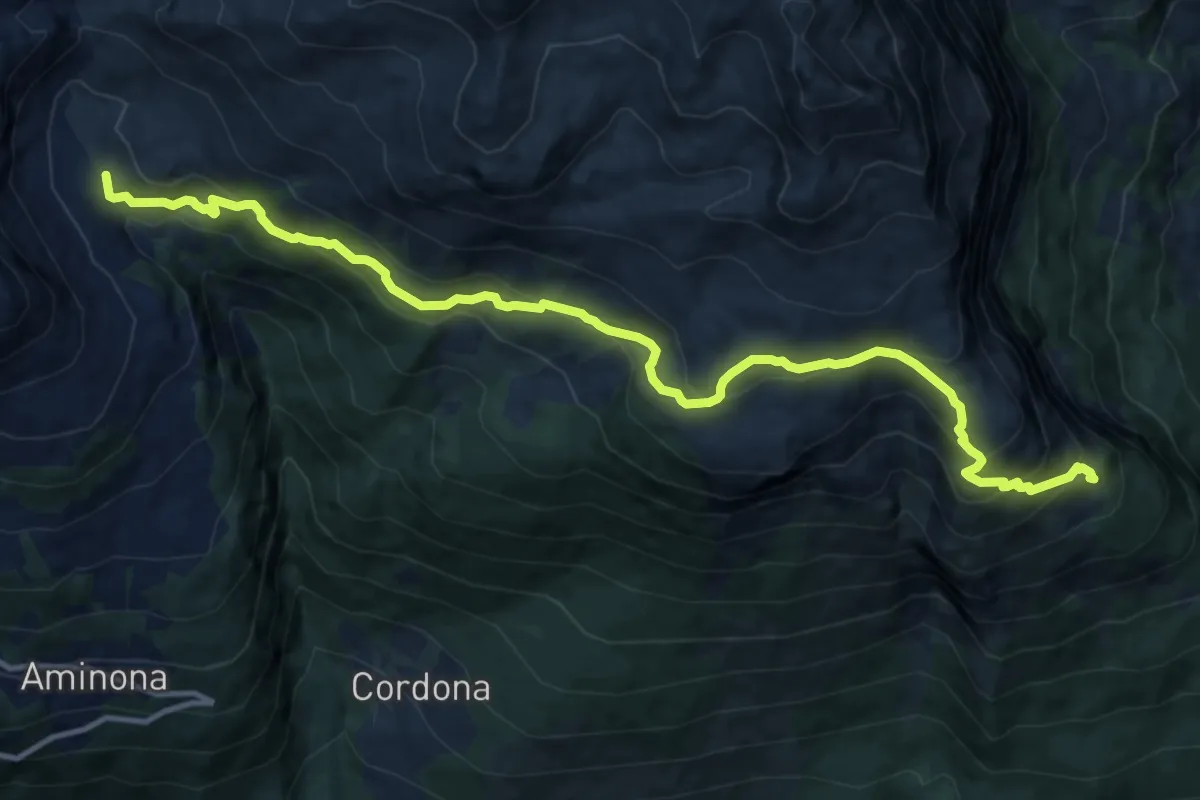
Demanding · Trail
Chäller – La Tieche
14.1 km · ↑ 927 m · 5 h 21 min · 8 km away
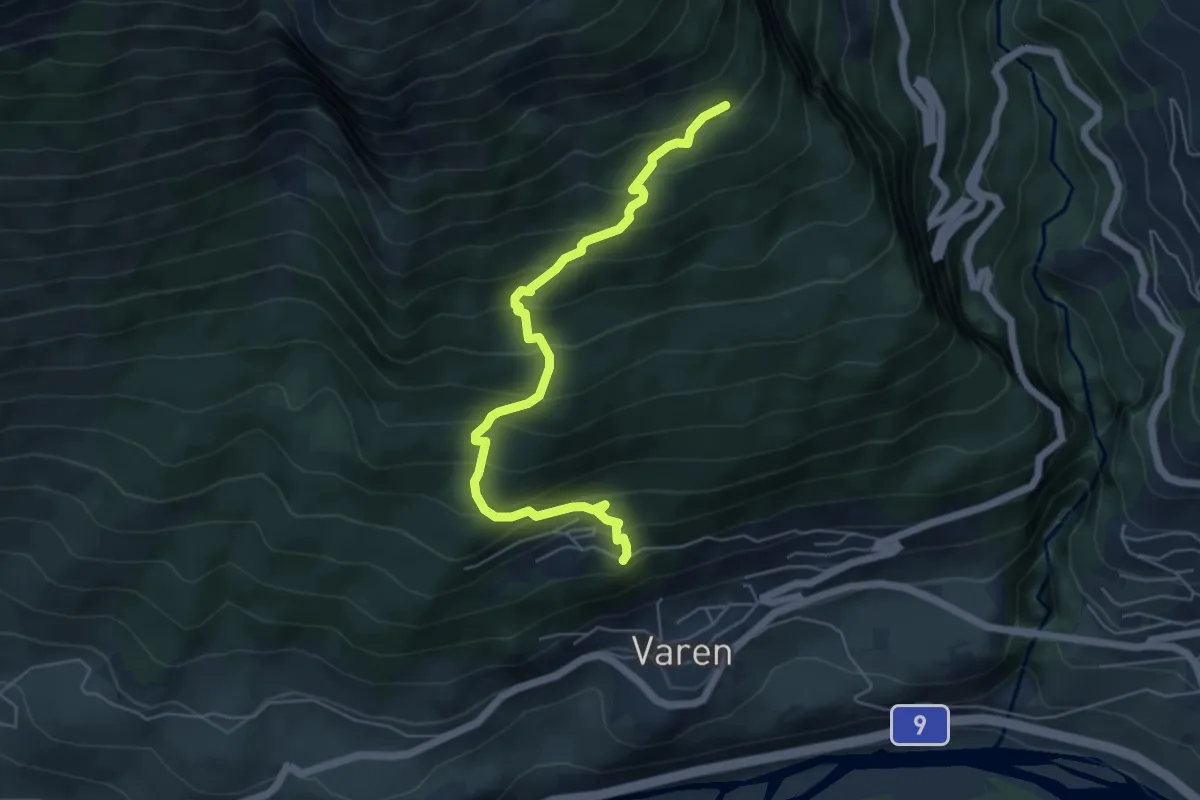
Medium · Trail
Chäller – Taschonieren
5.7 km · ↑ 600 m · 2 h 39 min · 8 km away
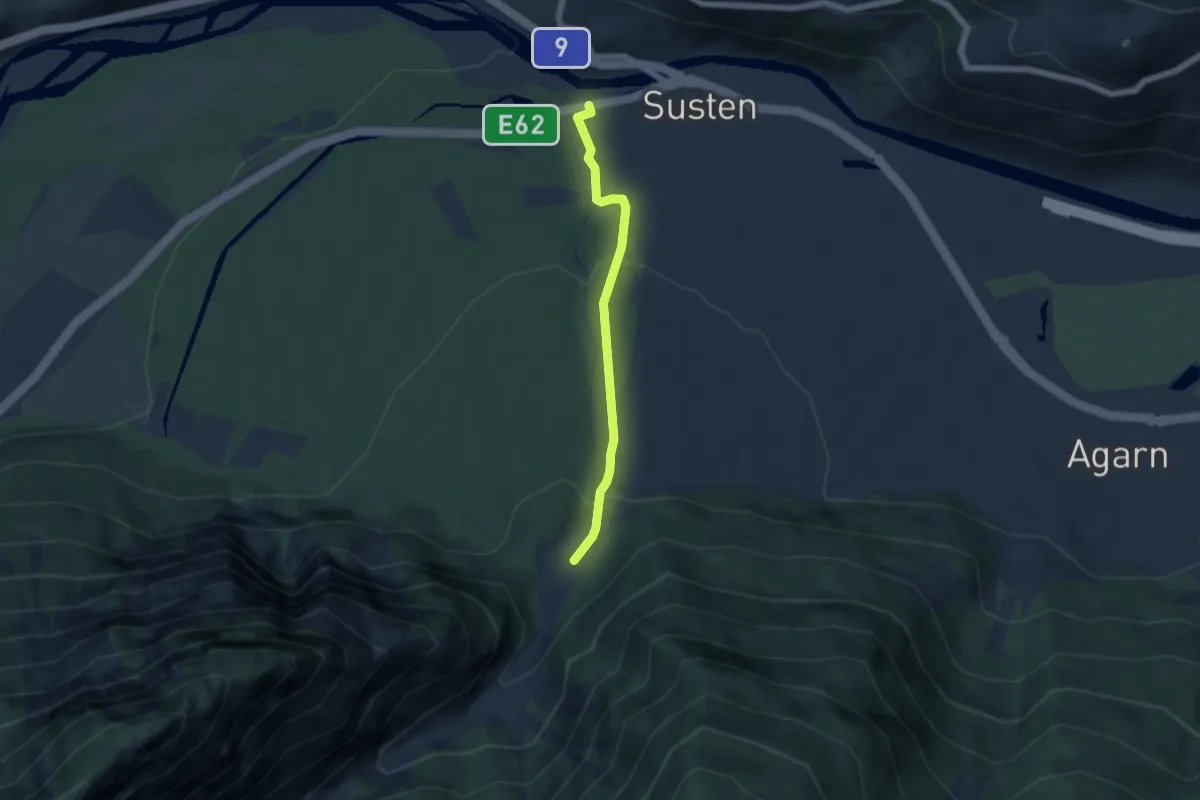
Easy · Trail
Susten – Butanbrücke
4.6 km · ↑ 207 m · 1 h 33 min · 8 km away
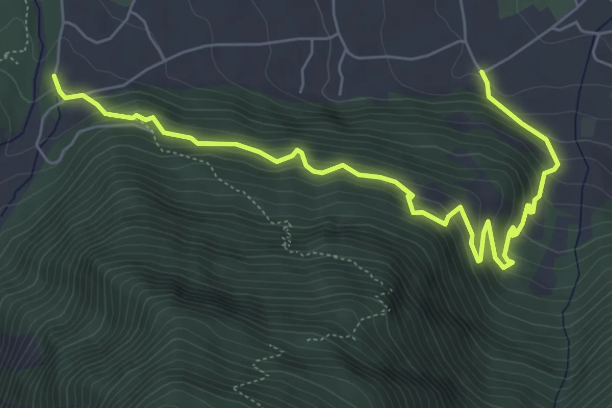
Medium · Trail
Briannen – Pulligu
6.8 km · ↑ 542 m · 2 h 47 min · 8 km away
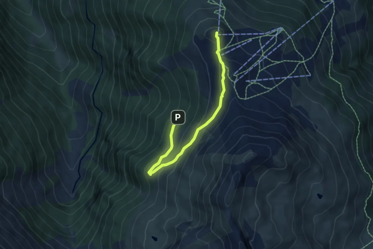
Easy · Summit
... en passant par le Vallon
2.7 km · ↑ 217 m · 1 h 3 min · 8 km away
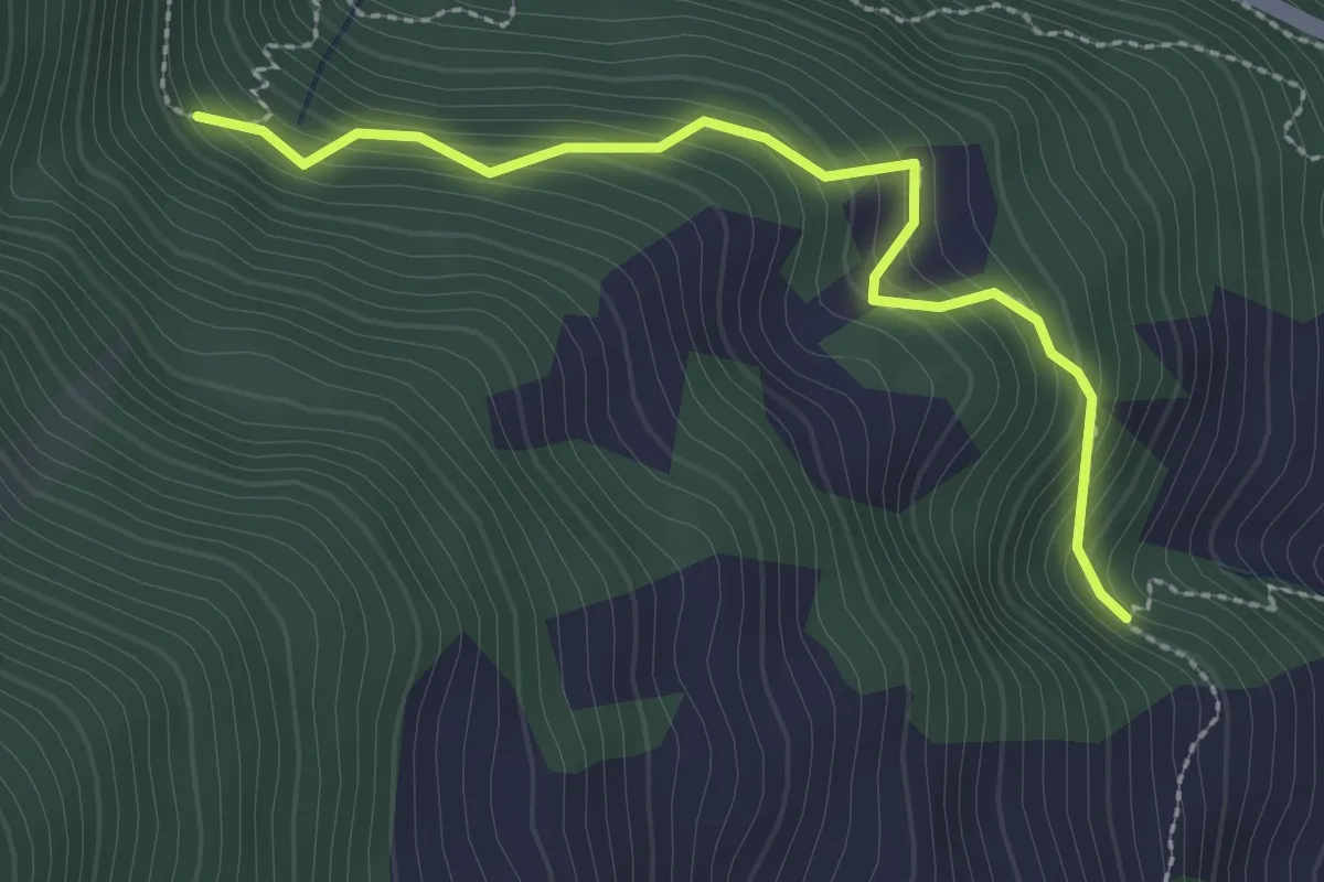
Easy · Trail
Les Bâges – Les Zau Derri
2.6 km · ↑ 242 m · 1 h 9 min · 8 km away
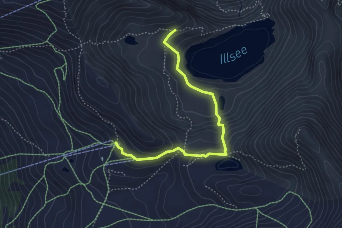
Demanding · Trail
Le Tsapé – Illsee
4.2 km · ↑ 207 m · 1 h 27 min · 8 km away
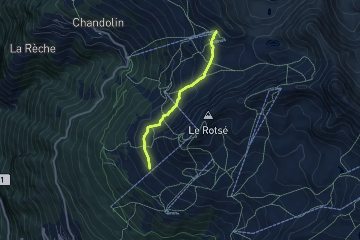
Medium · Trail
Tignousa-Le Tsapé
5.1 km · ↑ 270 m · 1 h 47 min · 8 km away
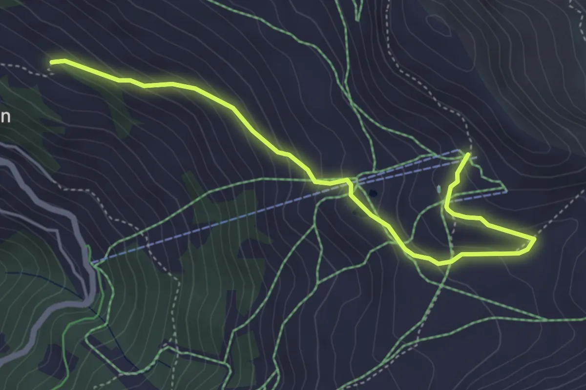
Medium · Trail
Tsapé – Cabane Illhorn
5.0 km · ↑ 311 m · 1 h 51 min · 8 km away
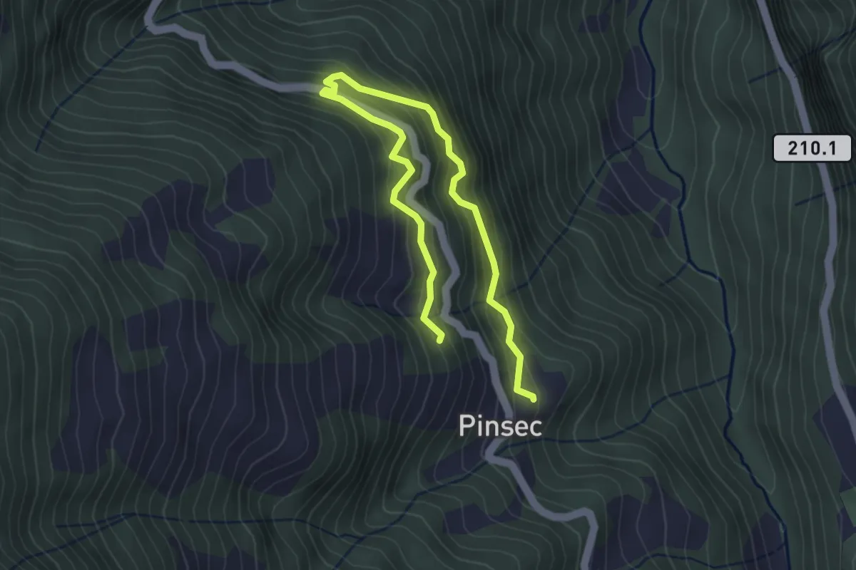
Medium · Trail
Pinsec – Le Melly
4.5 km · ↑ 399 m · 1 h 55 min · 8 km away
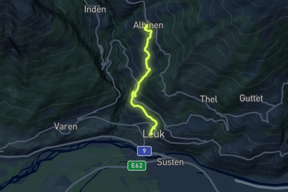
Medium · Trail
Leuk Stadt Albinen
8.0 km · ↑ 617 m · 3 h 14 min · 8 km away
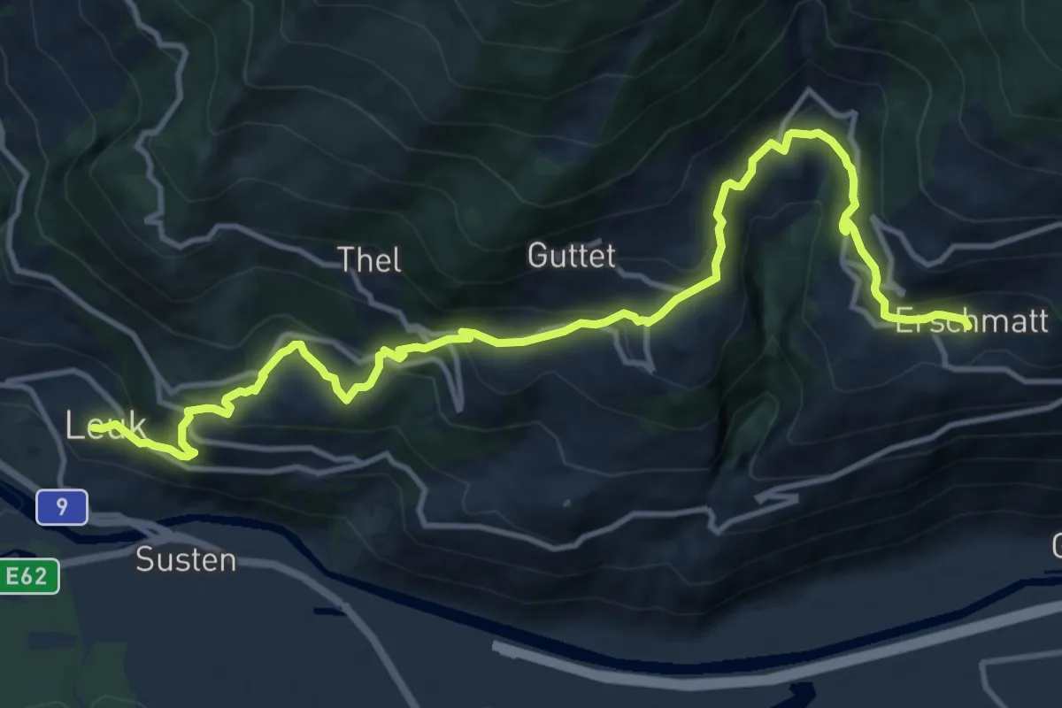
Demanding · Trail
Leuk Stadt Erschmatt
14.4 km · ↑ 907 m · 5 h 22 min · 8 km away
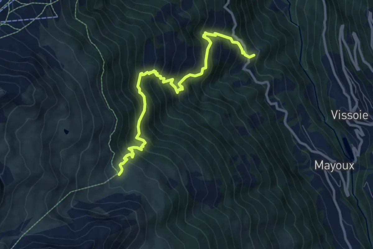
Demanding · Trail
Pinsec – Orzival
8.3 km · ↑ 964 m · 4 h 3 min · 8 km away
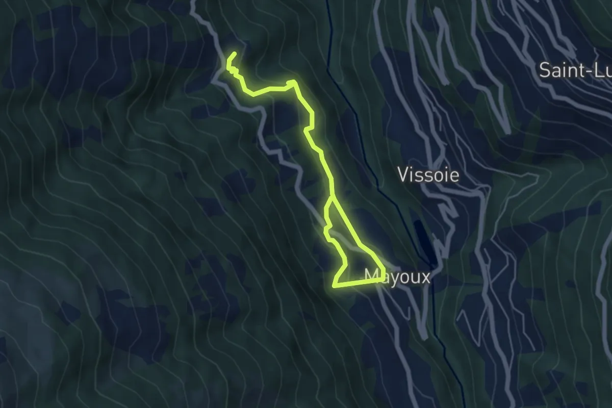
Medium · Trail
Pinsec – Mayoux
5.6 km · ↑ 365 m · 2 h 6 min · 8 km away
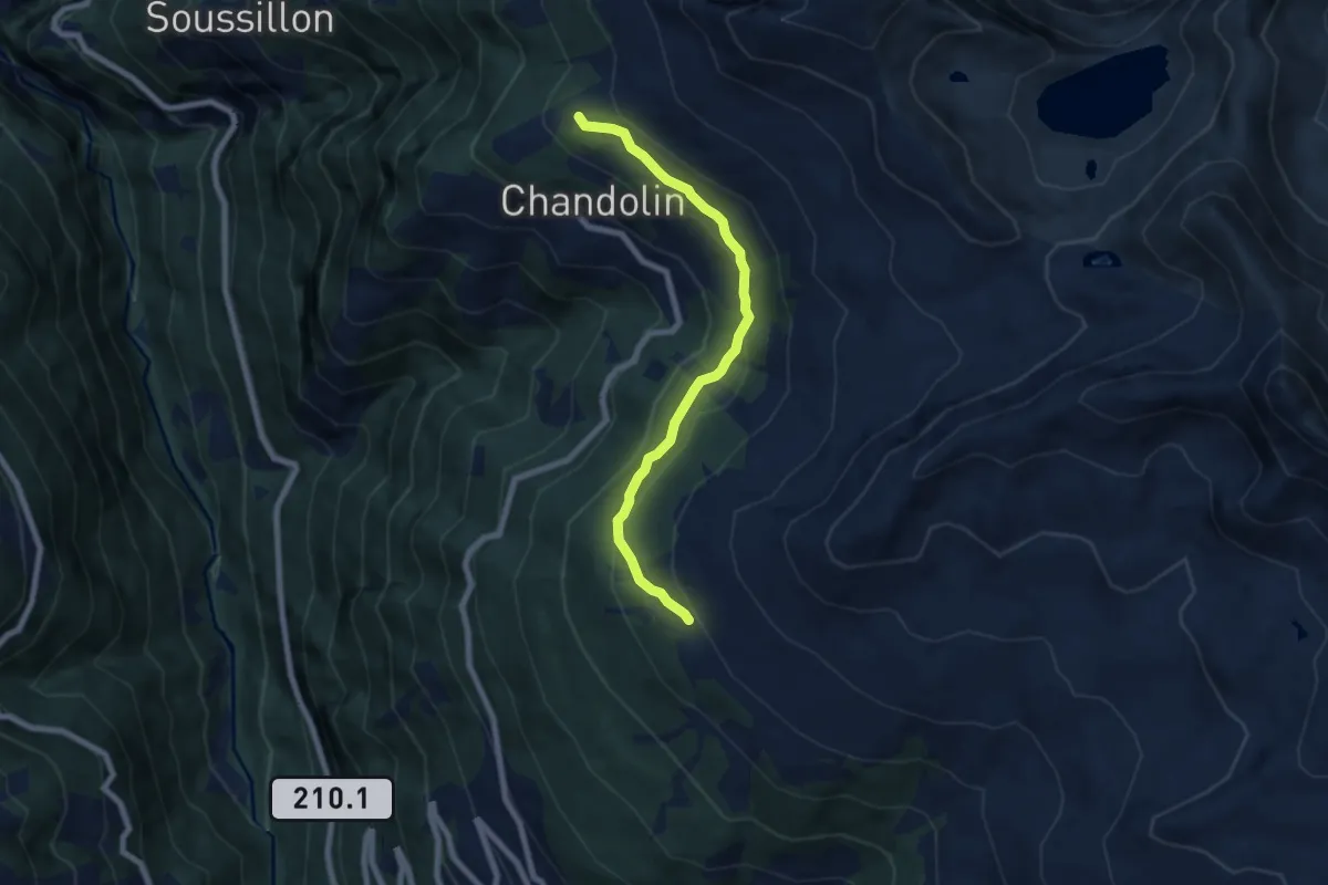
Medium · Cabin
Par di Modzes – Cabane Illhorn
6.7 km · ↑ 364 m · 2 h 22 min · 9 km away
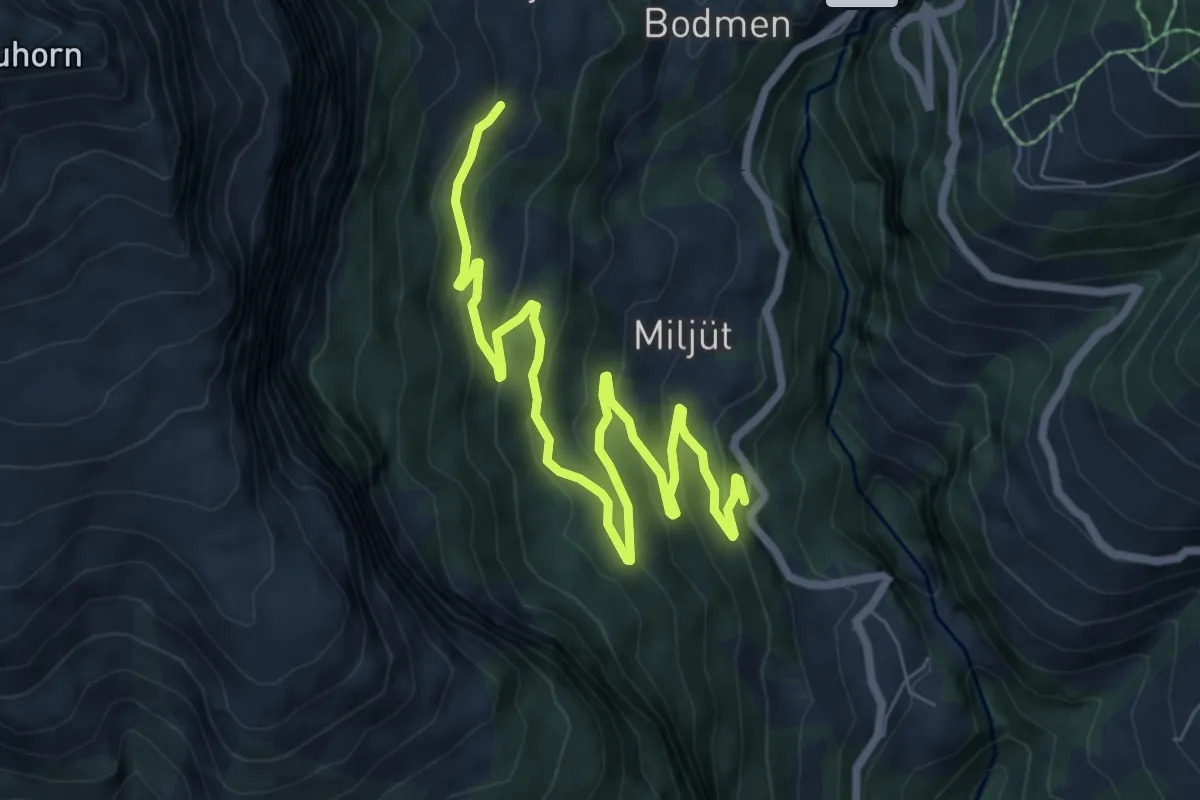
Medium · Trail
Larschi – Kantonsstrasse
8.8 km · ↑ 417 m · 2 h 58 min · 9 km away
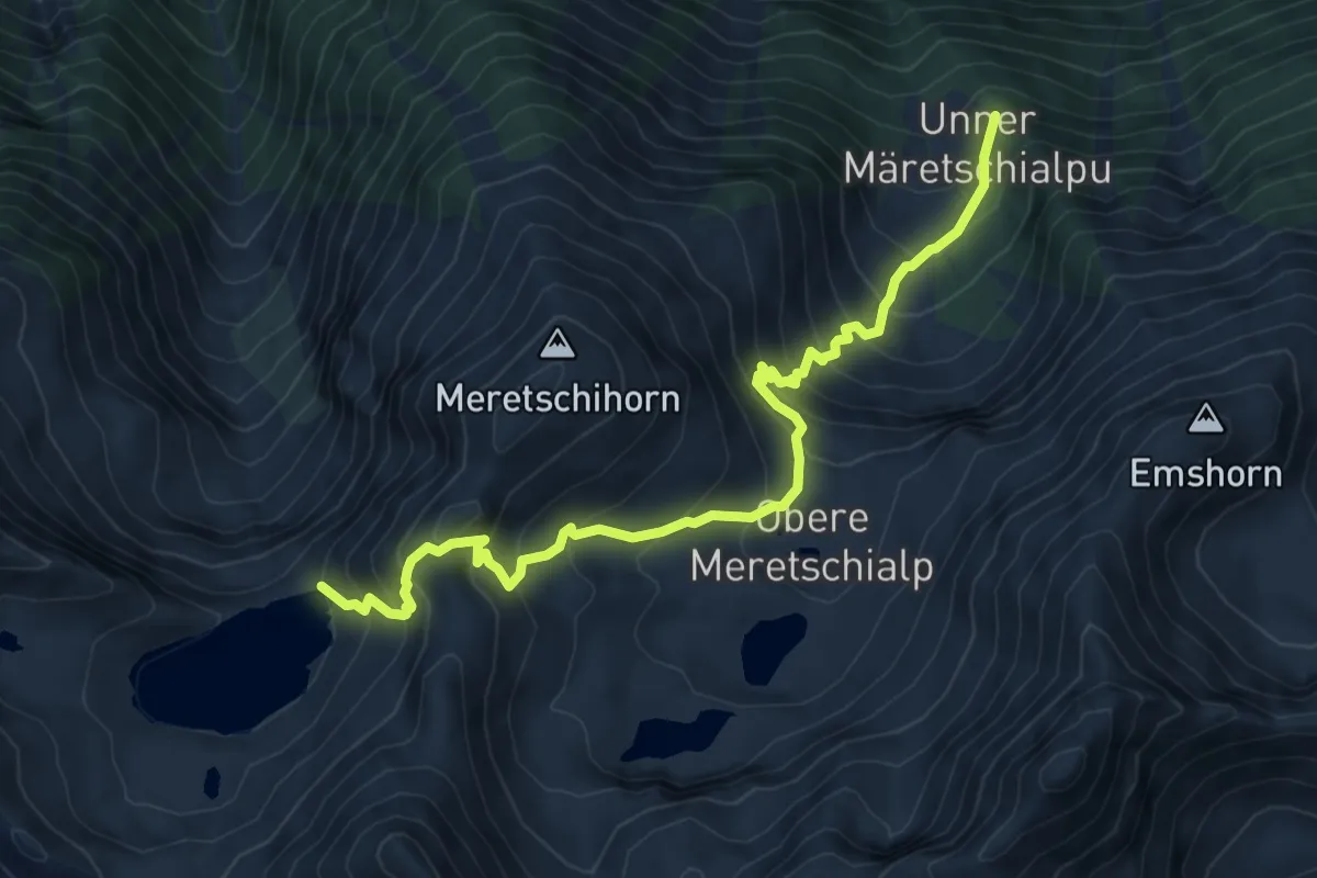
Demanding · Trail
Unter Meretschialp – Illsee
8.4 km · ↑ 842 m · 3 h 48 min · 9 km away
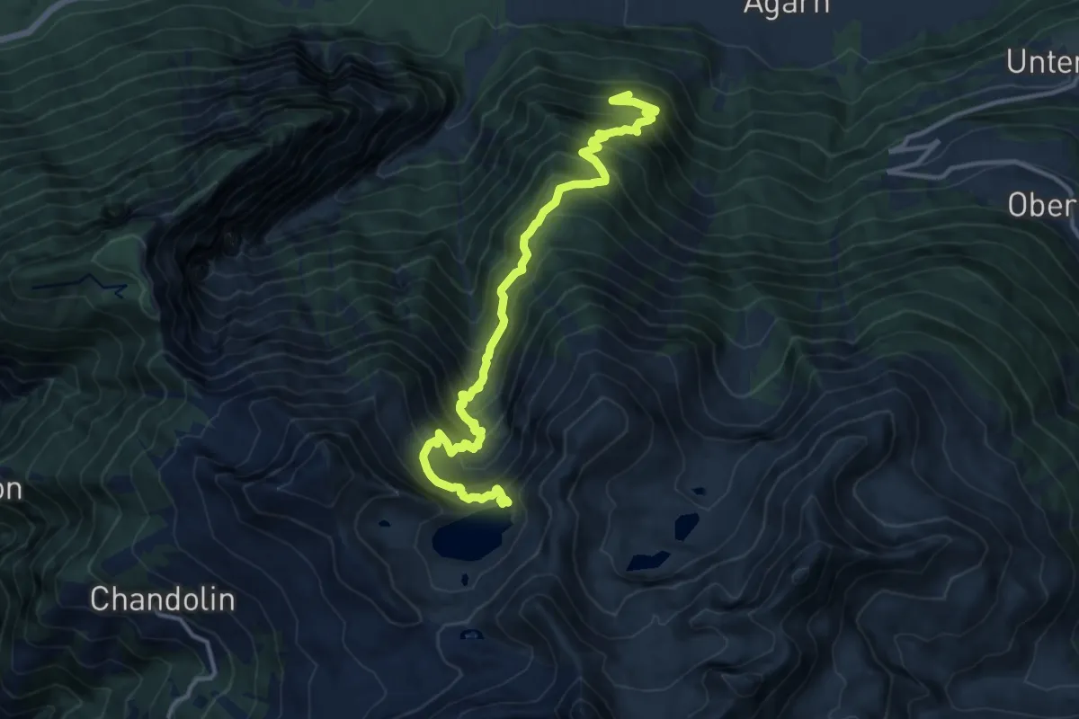
Demanding · Trail
Berghuesli – Illsee
13.9 km · ↑ 1539 m · 6 h 37 min · 9 km away
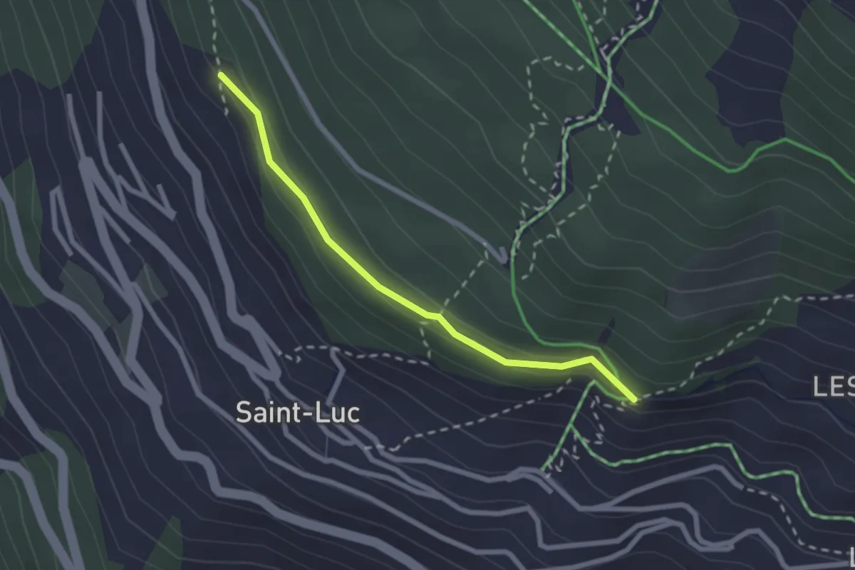
Easy · Trail
La Fortoûna – St. Luc
2.2 km · ↑ 109 m · 45 min · 9 km away
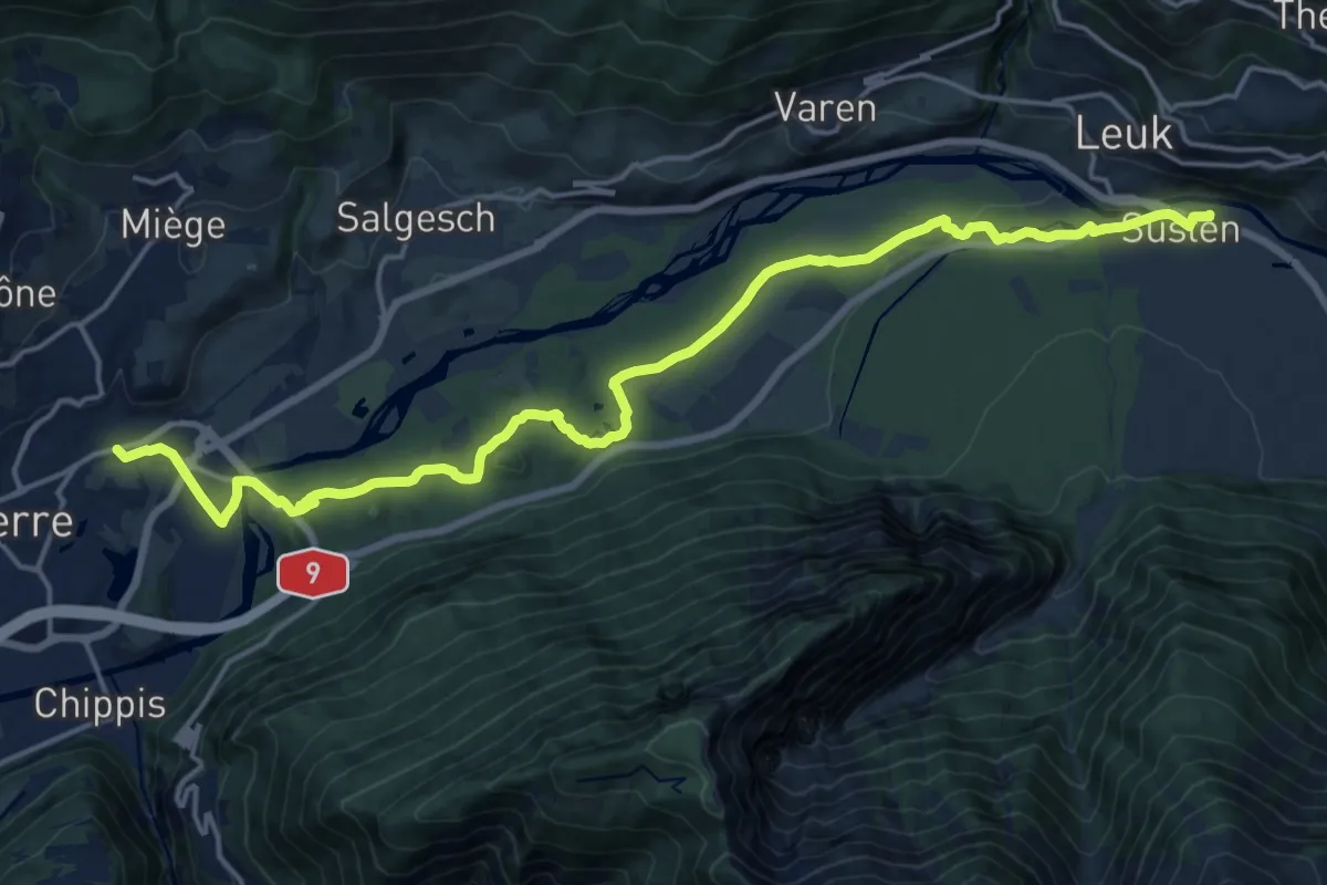
Demanding · Trail
Leuk Bahnhof – Sierre
20.7 km · ↑ 264 m · 5 h 27 min · 9 km away
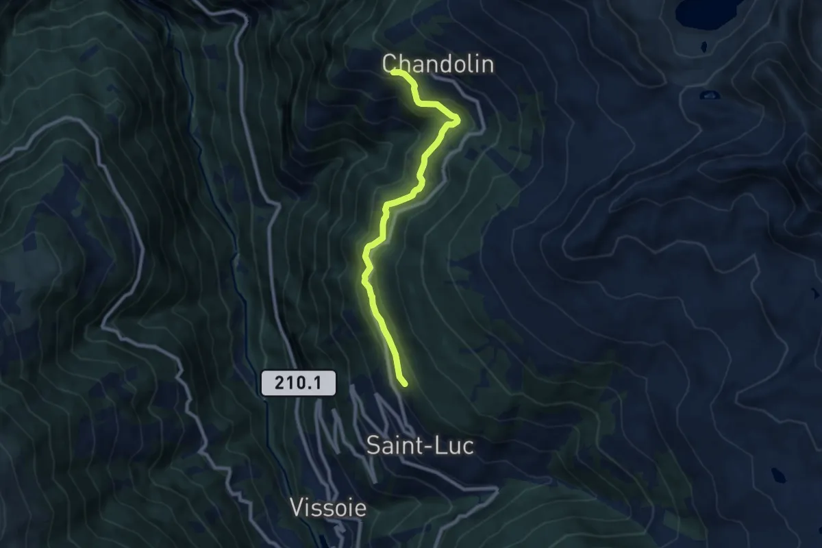
Medium · Trail
St. Luc – Chandolin
7.8 km · ↑ 390 m · 2 h 41 min · 9 km away
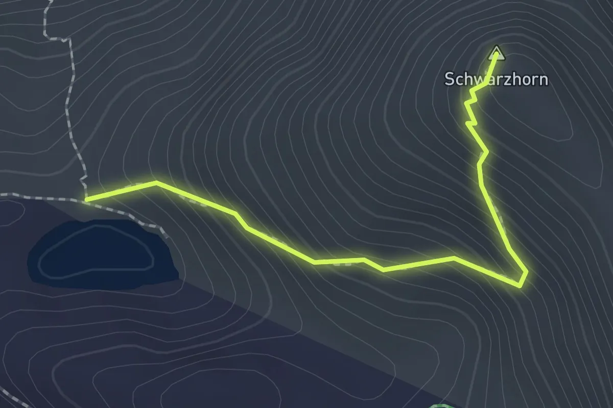
Demanding · Summit
Lac Noir – Schwarzhorn
2.0 km · ↑ 244 m · 1 h · 9 km away
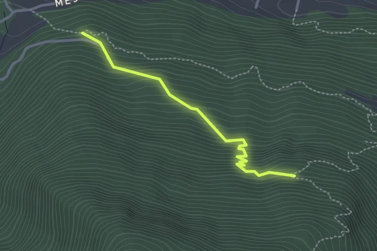
Easy · Trail
Pulligu – Berghuesli
2.3 km · ↑ 254 m · 1 h 6 min · 9 km away
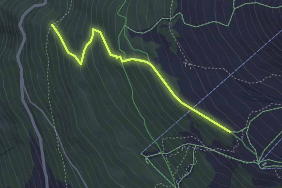
Easy · Trail
Tignousa – Forêt des Teppes
3.7 km · ↑ 292 m · 1 h 30 min · 9 km away
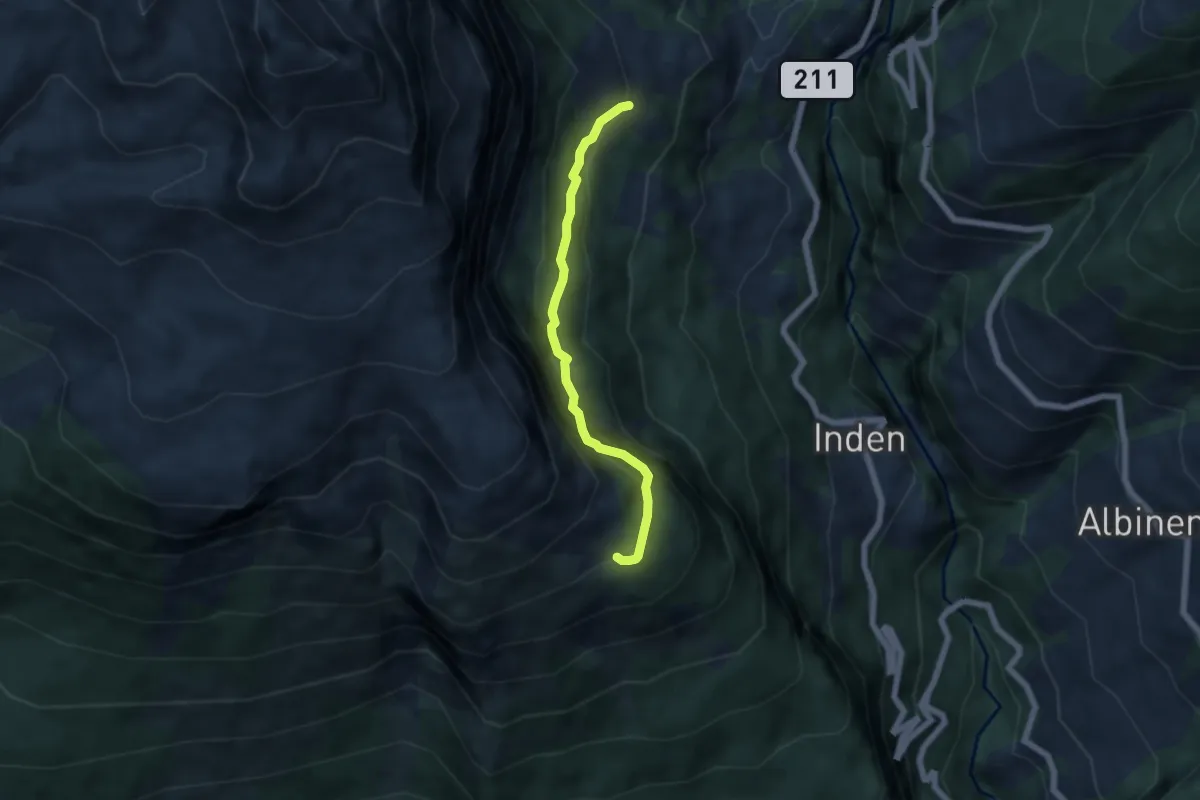
Medium · Trail
Larschy – Chäller
5.1 km · ↑ 537 m · 2 h 22 min · 9 km away
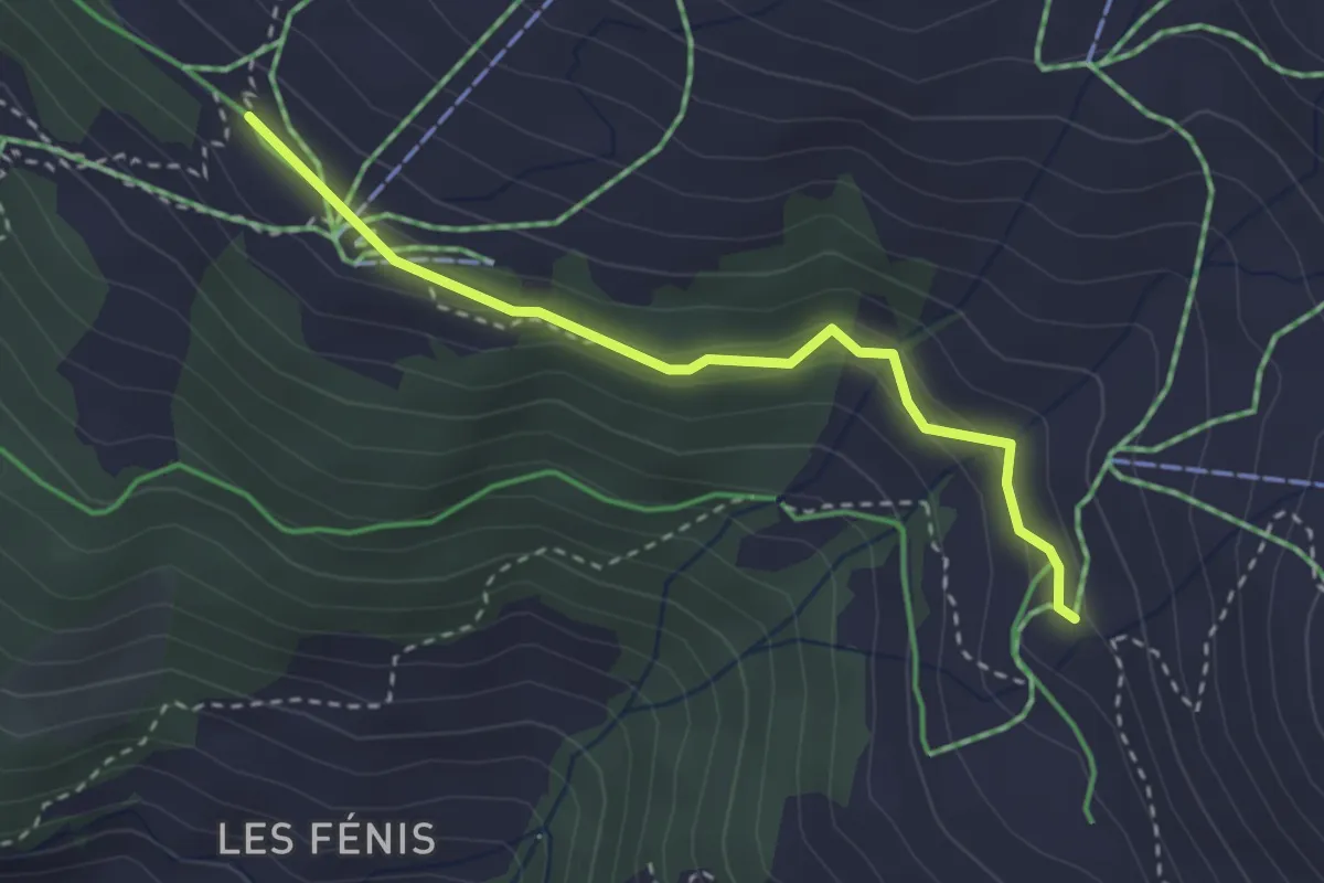
Easy · Trail
Tignousa – Chalet Blanc
2.9 km · ↑ 97 m · 53 min · 9 km away
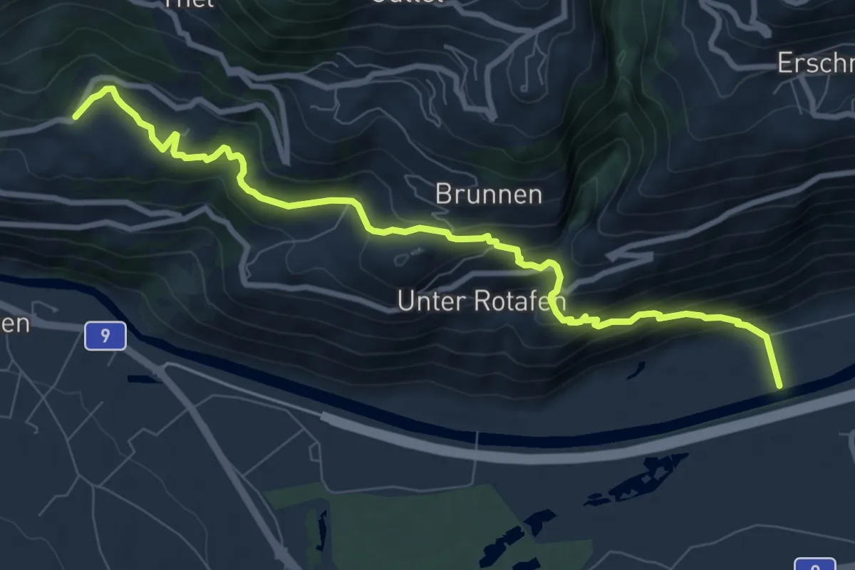
Medium · Trail
Turtmann Brentjong
9.3 km · ↑ 566 m · 3 h 25 min · 9 km away
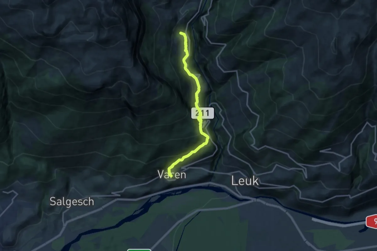
Demanding · Trail
Russengraben – Varen
11.1 km · ↑ 1184 m · 5 h 11 min · 9 km away
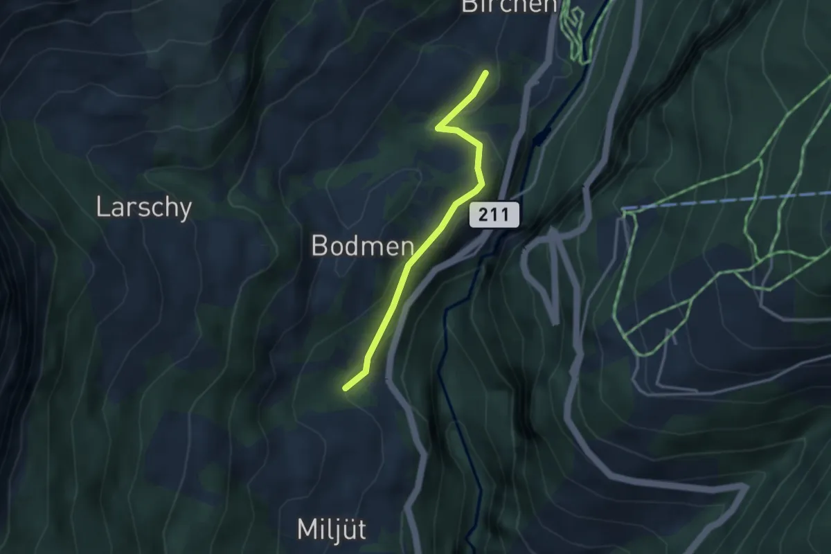
Easy · Trail
Birchen – Russengraben
2.7 km · ↑ 108 m · 53 min · 9 km away
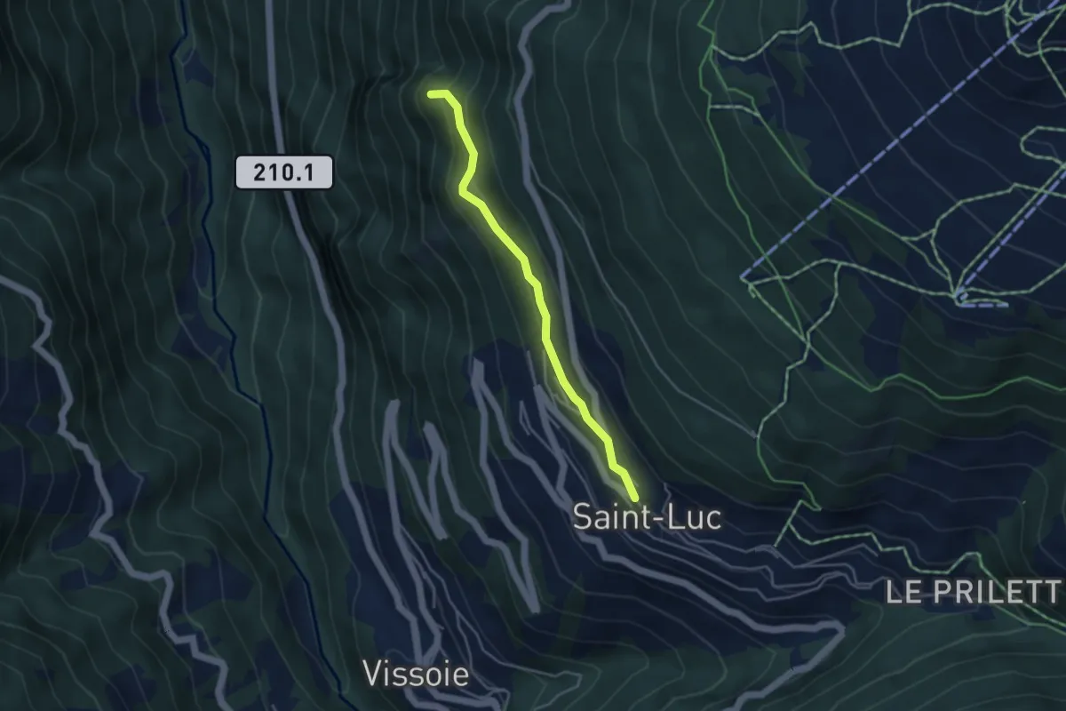
Easy · Trail
St. Luc – La Barma
3.6 km · ↑ 236 m · 1 h 22 min · 9 km away
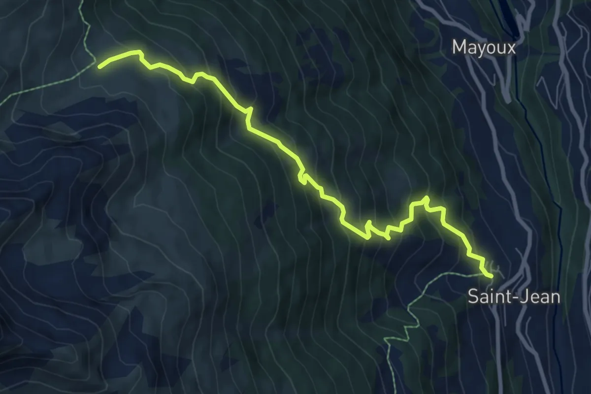
Expert · Trail
St. Jean – Orzival
8.0 km · ↑ 806 m · 3 h 39 min · 9 km away
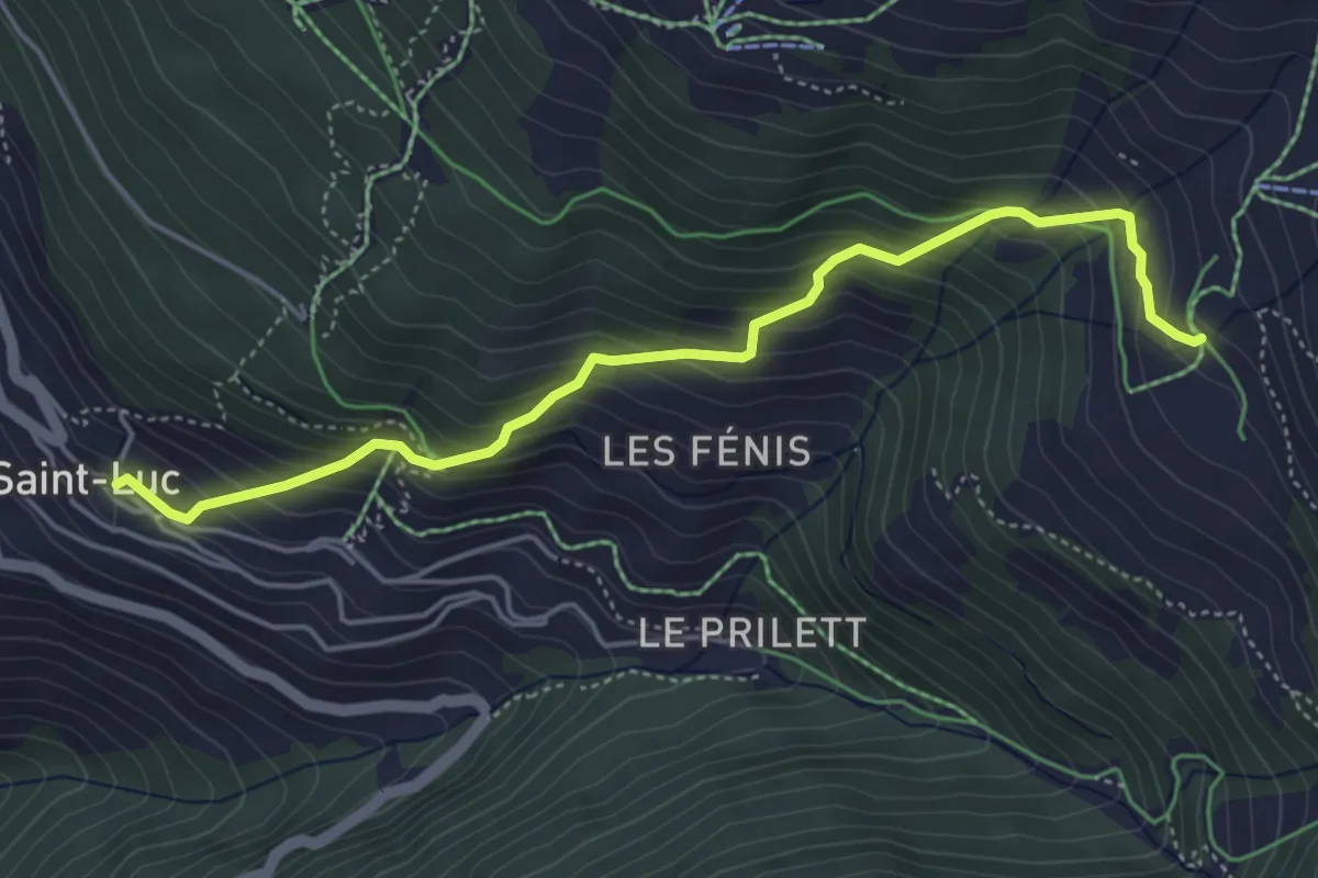
Medium · Trail
St. Luc – Chalet Blanc
4.9 km · ↑ 499 m · 2 h 14 min · 9 km away
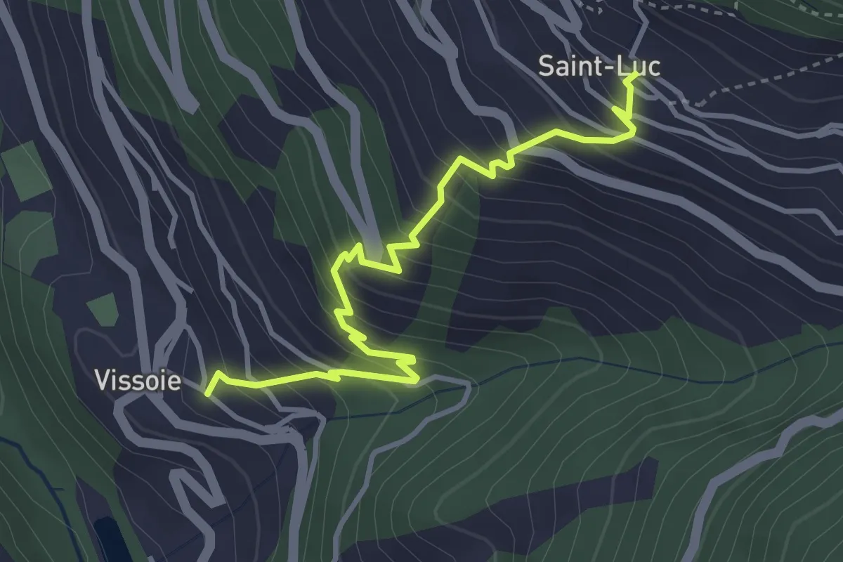
Medium · Trail
Vissoie – St. Luc
3.8 km · ↑ 430 m · 1 h 50 min · 9 km away
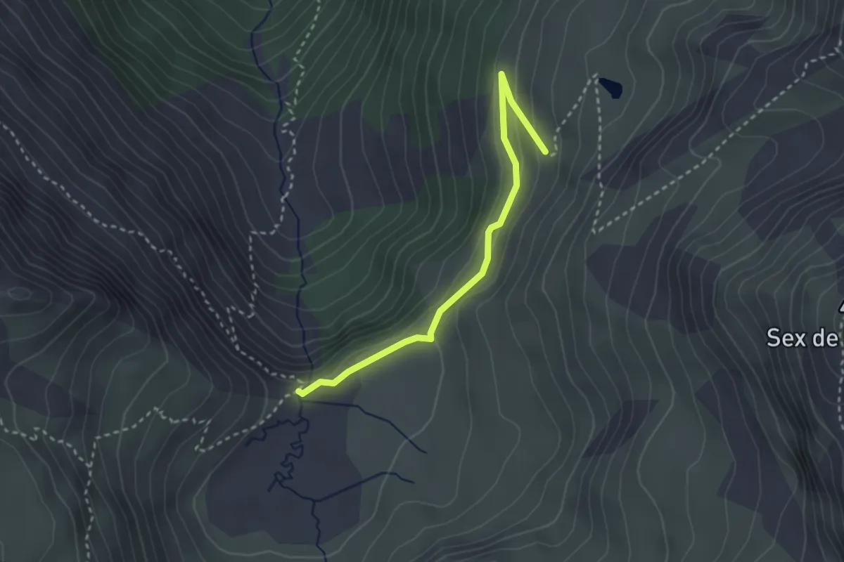
Easy · Trail
L'Ar du Tsan - Le Pichioc – La Brinta
2.8 km · ↑ 122 m · 56 min · 9 km away
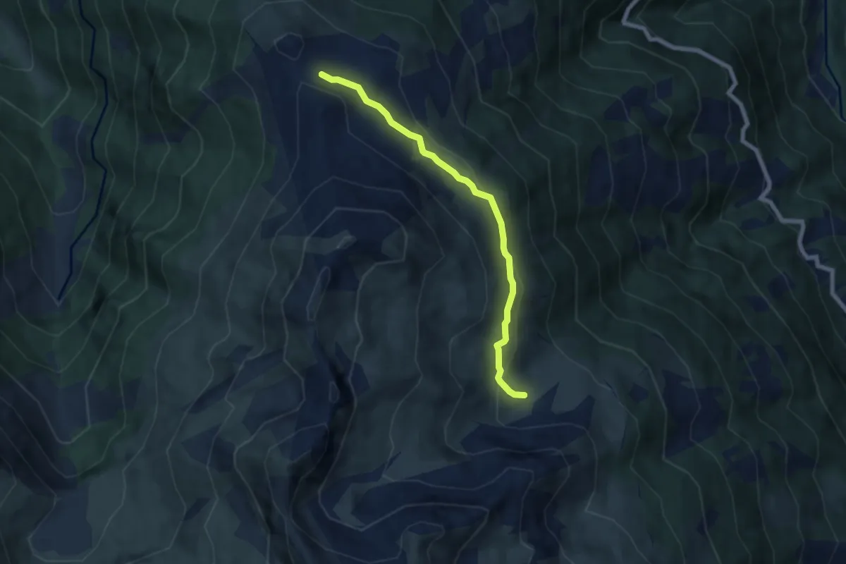
Easy · Trail
Orzival – Le Crêt du Midi
5.9 km · ↑ 253 m · 1 h 57 min · 9 km away
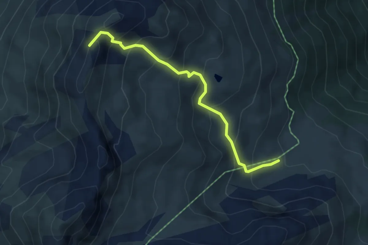
Medium · Summit
Orzival – La Brinta
4.3 km · ↑ 421 m · 1 h 55 min · 9 km away
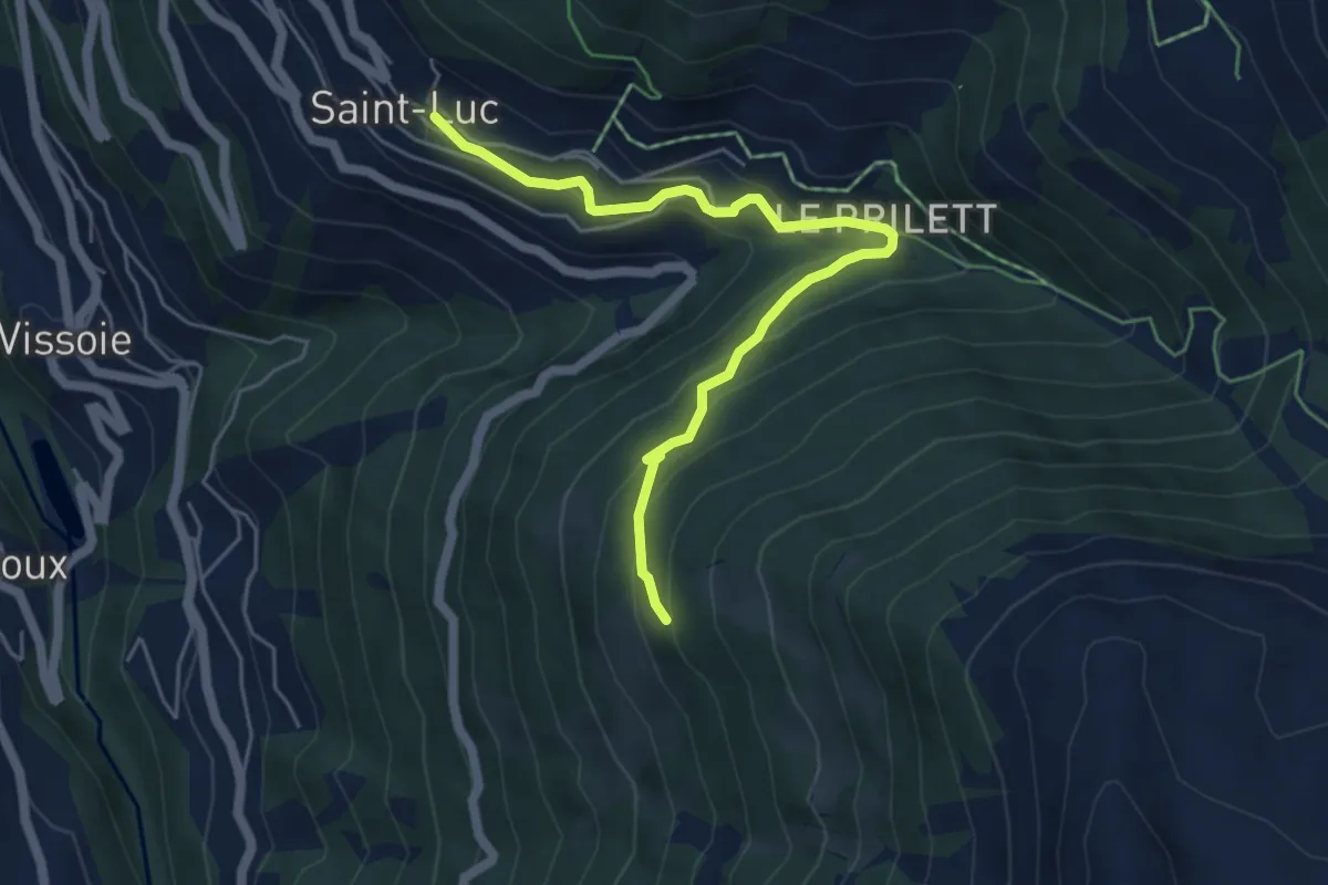
Easy · Trail
St. Luc – Gillou
5.5 km · ↑ 311 m · 1 h 58 min · 9 km away