Trails near Sion
170 hikes starting within 15 km, nearest first.
Nearest first, page 1 of 4
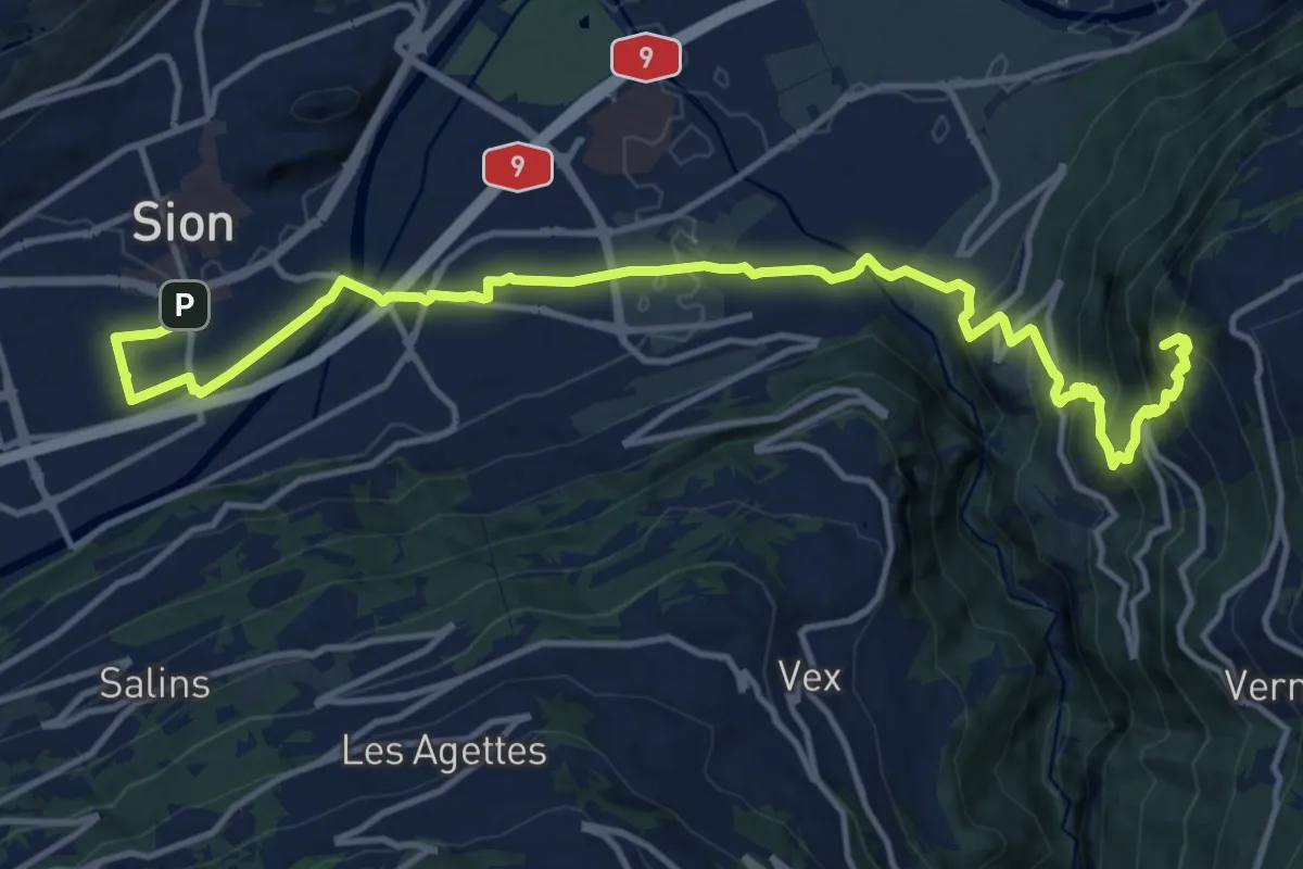
Medium · Summit
06-Tour pédestre du Val d'Hérens
16.8 km · ↑ 789 m · 5 h 41 min · under 1 km away
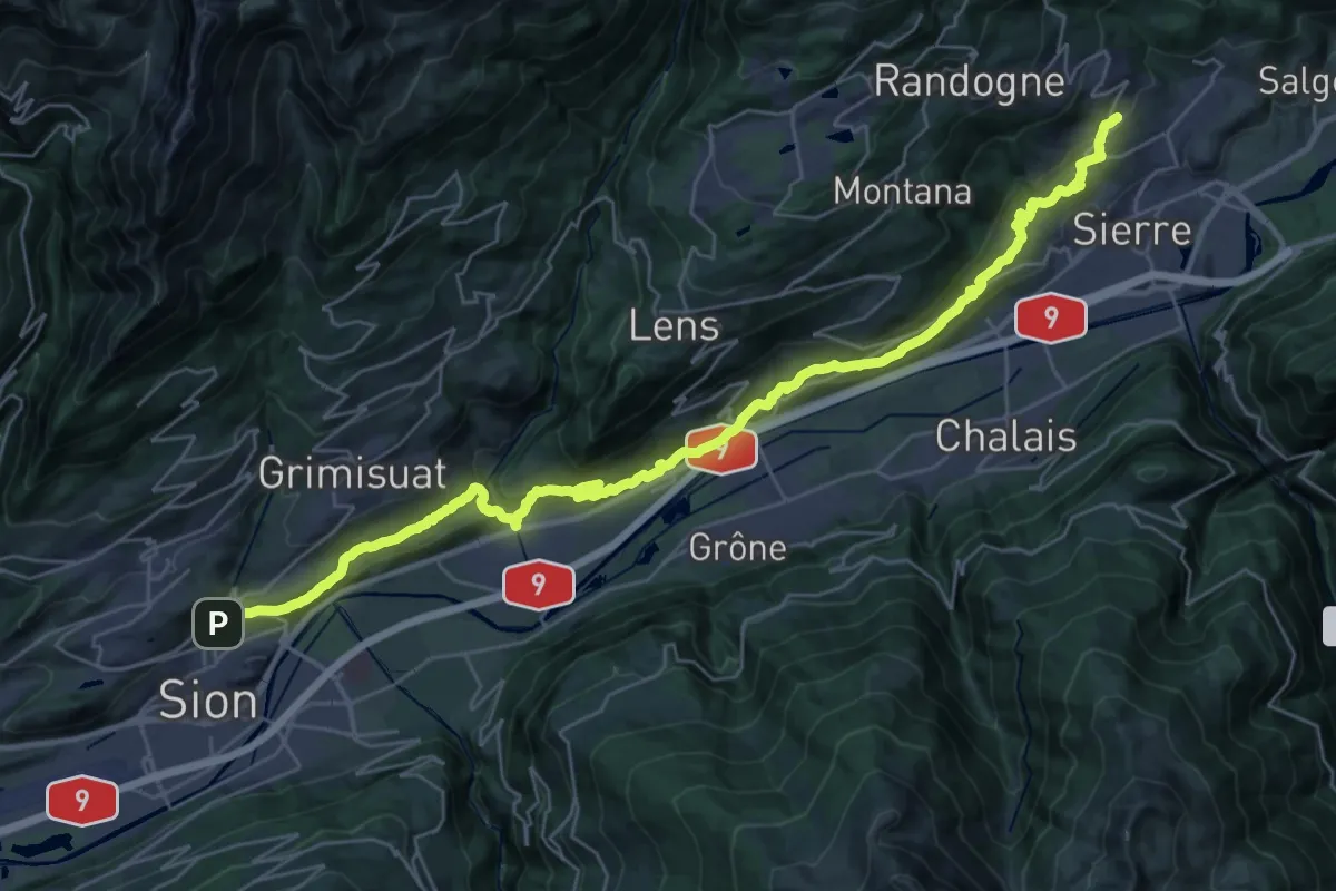
Demanding · Trail
03-Chemin du Vignoble
19.2 km · ↑ 842 m · 6 h 31 min · 1 km away
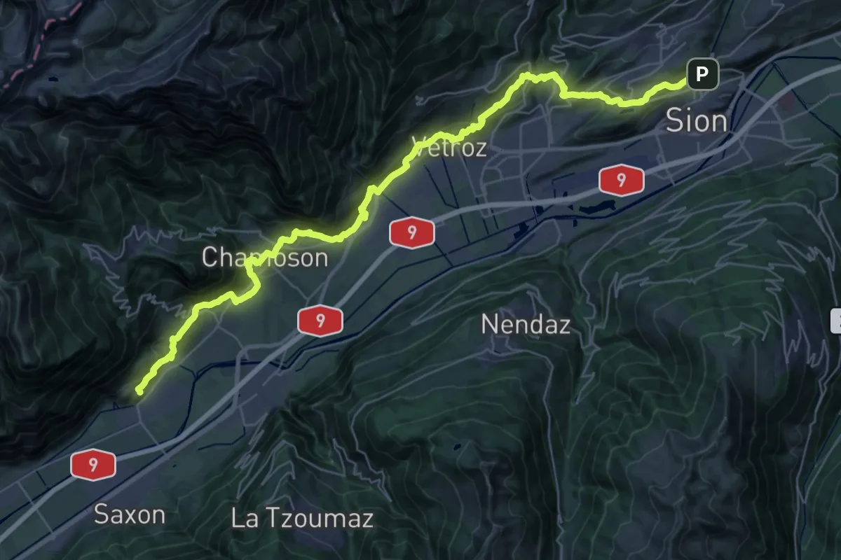
Demanding · Trail
02-Chemin du Vignoble
21.5 km · ↑ 879 m · 7 h 18 min · 1 km away
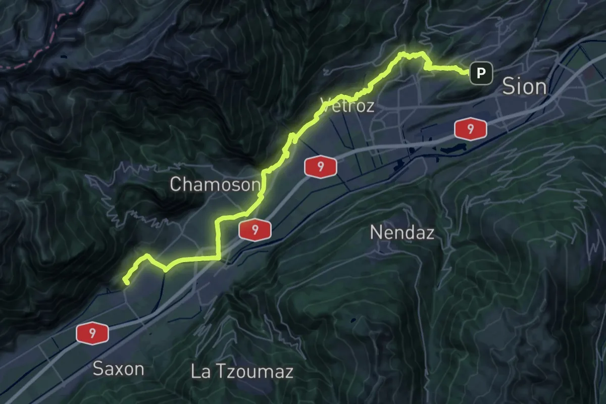
Demanding · Pilgrim path
Chemin Rhin-Reuss-Rhône
20.0 km · ↑ 568 m · 6 h 19 min · 2 km away
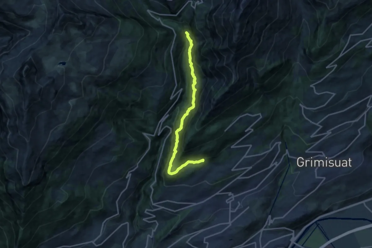
Demanding · Trail
Bisse de Savièse (Torrent-Neuf)
12.6 km · ↑ 1345 m · 5 h 53 min · 4 km away
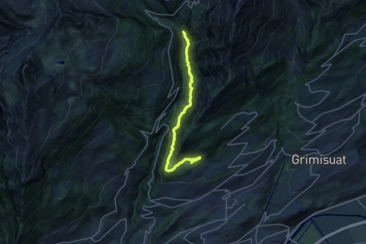
Demanding · Trail
Bisse de Savièse (Torrent-Neuf)
13.2 km · ↑ 1362 m · 6 h 4 min · 4 km away
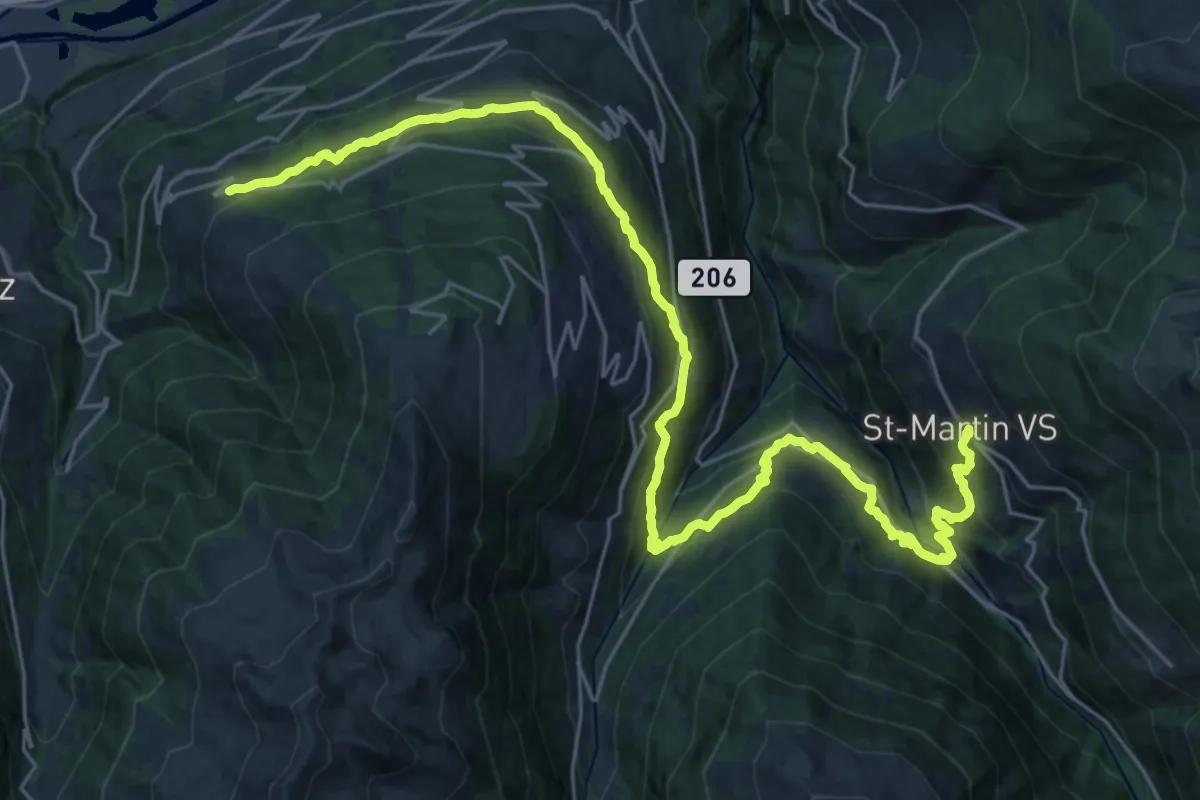
Demanding · Trail
04-Chemin des Bisses
16.4 km · ↑ 916 m · 6 h 4 min · 4 km away
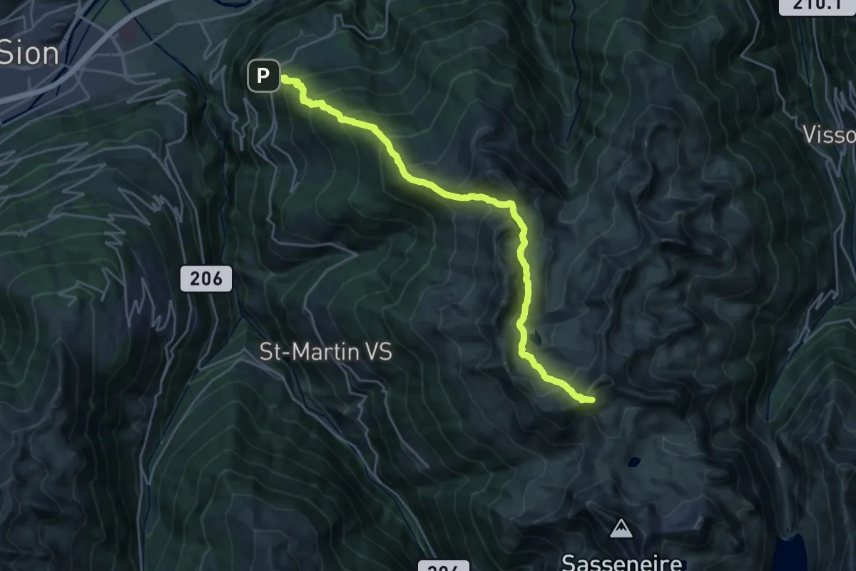
Demanding · Cabin
05-Tour pédestre du Val d'Hérens
12.7 km · ↑ 1757 m · 6 h 9 min · 5 km away
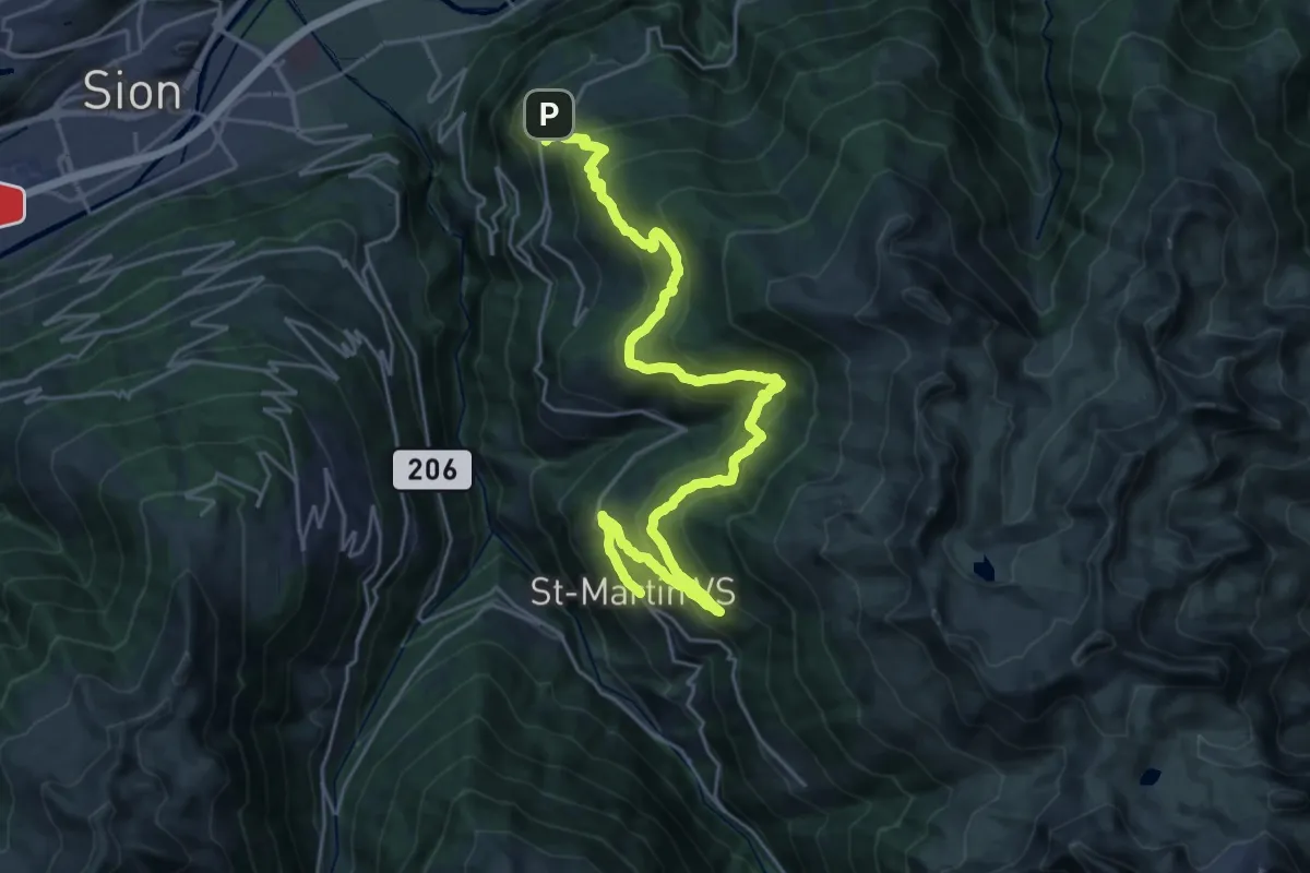
Demanding · Trail
05-Chemin des Bisses
15.7 km · ↑ 899 m · 5 h 49 min · 5 km away
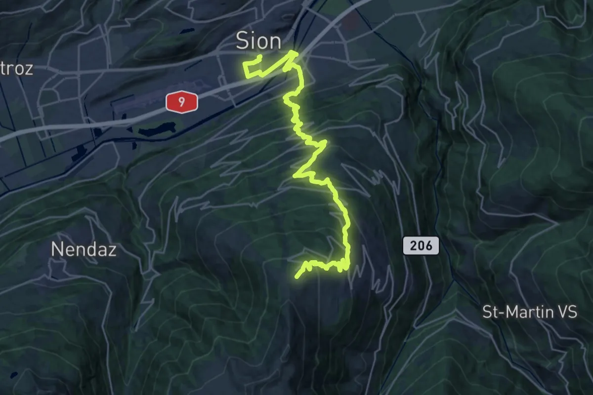
Medium · Trail
00-Tour pédestre du Val d'Hérens
13.8 km · ↑ 46 m · 4 h 21 min · 6 km away
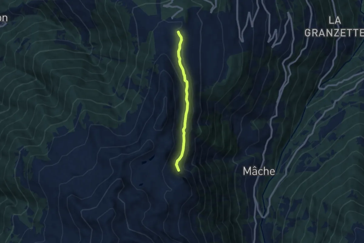
Easy · Trail
Thyon – Le Torrent de l'Aâ
5.6 km · ↑ 246 m · 1 h 51 min · 6 km away
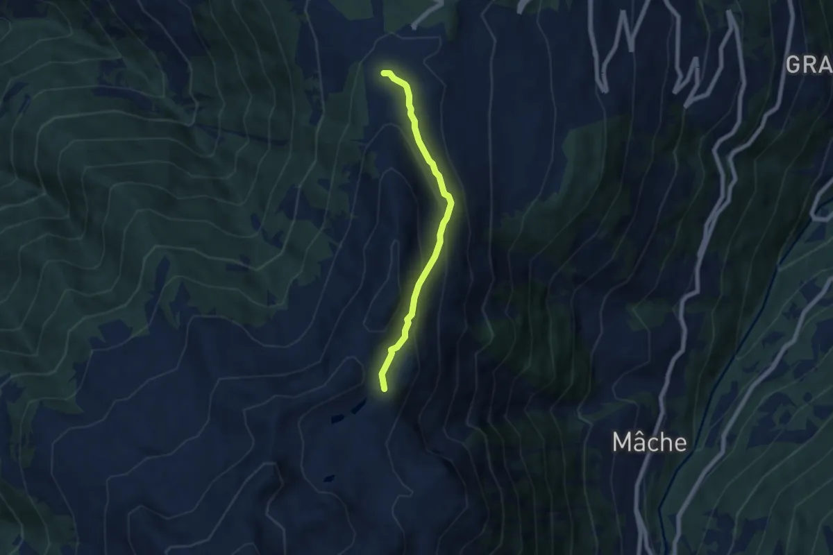
Easy · Trail
Thyon – Mont Carré
5.1 km · ↑ 303 m · 1 h 52 min · 6 km away
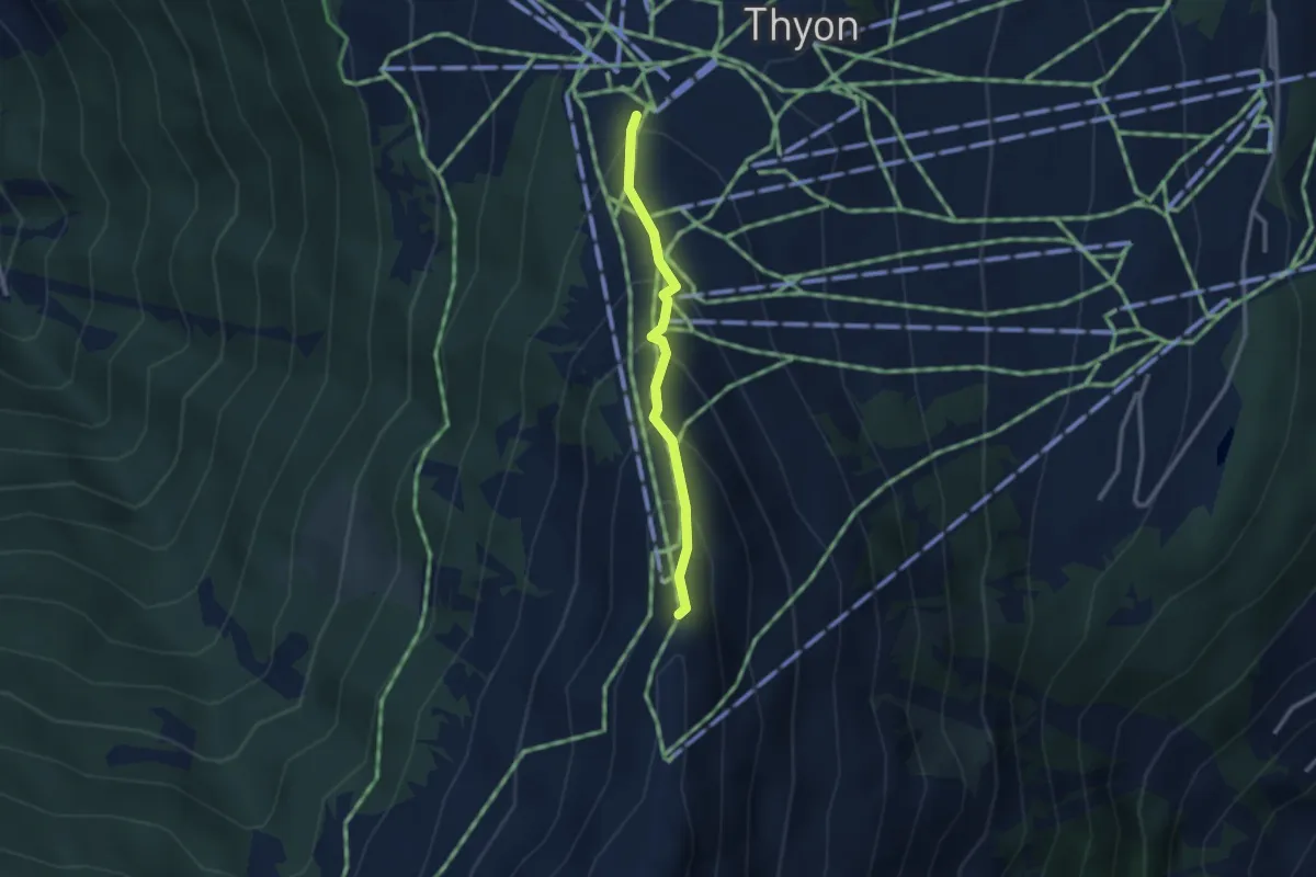
Medium · Trail
Thyon – Les Crêtes de Thyon
2.4 km · ↑ 236 m · 1 h 4 min · 6 km away
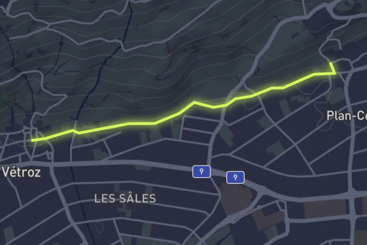
Easy · Trail
Plan-Conthey - Vétroz
3.4 km · ↑ 30 m · 52 min · 6 km away
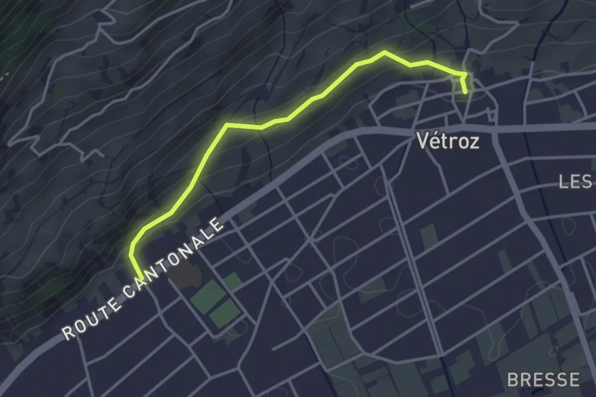
Easy · Trail
Vétroz - Magnot
3.2 km · ↑ 150 m · 1 h 5 min · 6 km away
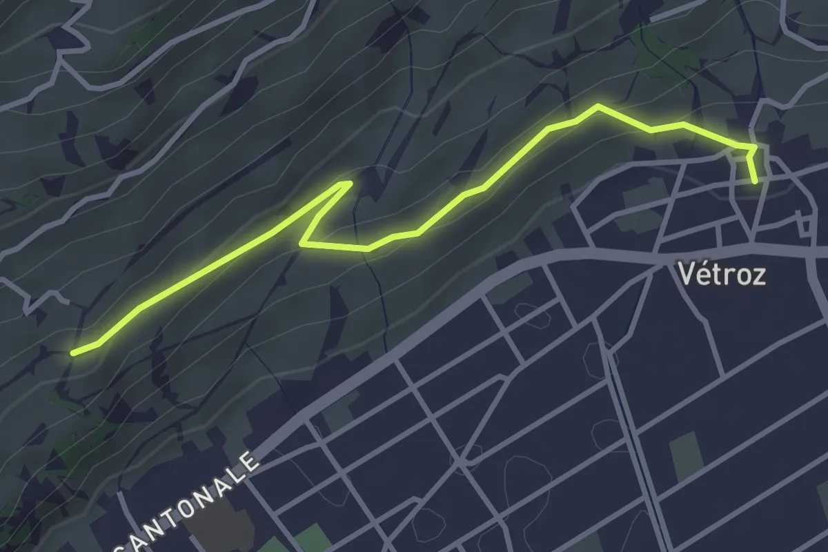
Easy · Trail
Vétroz - fixme
3.4 km · ↑ 112 m · 1 h 2 min · 6 km away
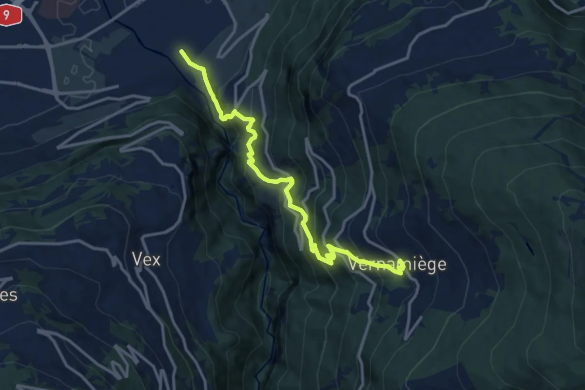
Demanding · Trail
Chemin de la Foire
10.1 km · ↑ 1003 m · 4 h 33 min · 6 km away
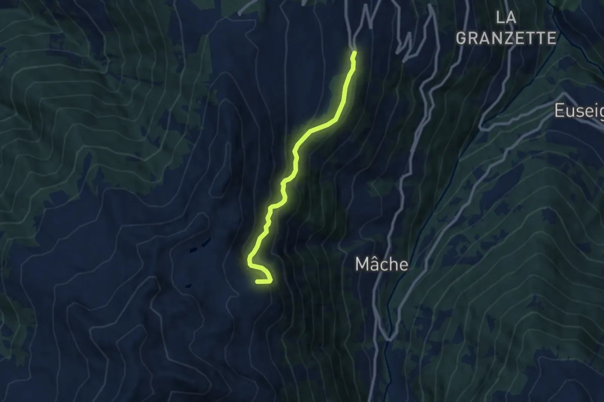
Medium · Summit
Thermes – Cabane d'Essertze
7.1 km · ↑ 581 m · 2 h 56 min · 6 km away
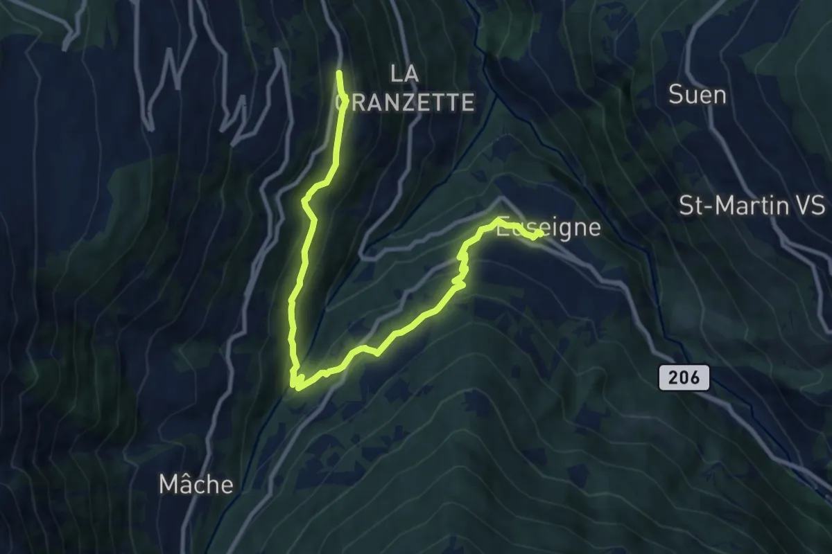
Medium · Trail
Euseigne - Hérémence
10.3 km · ↑ 556 m · 3 h 39 min · 7 km away
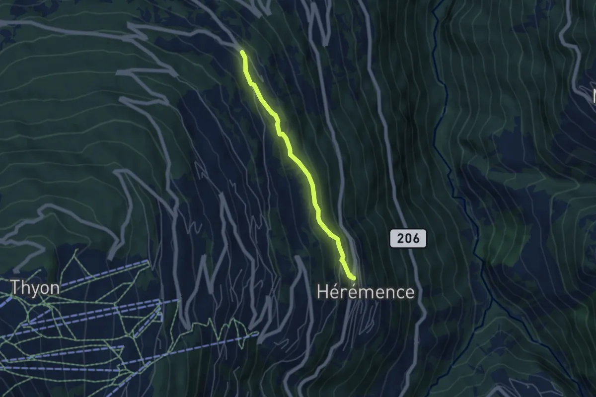
Easy · Trail
Hérémence - Bon Acceuil
4.2 km · ↑ 214 m · 1 h 28 min · 7 km away
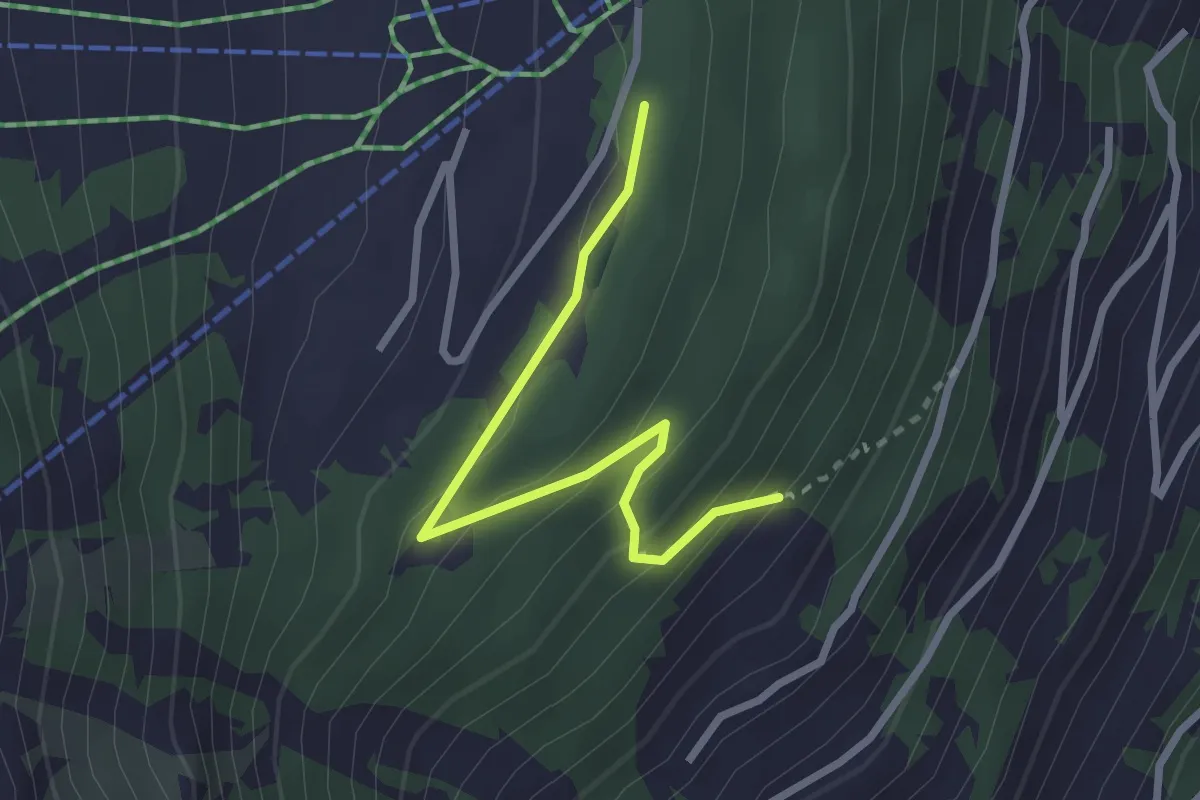
Easy · Trail
Le Mayen – Les Collons
2.6 km · ↑ 179 m · 1 h 1 min · 7 km away
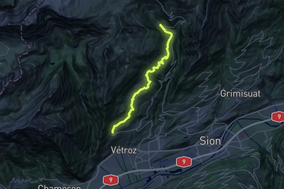
Demanding · Trail
Bisse de la Tsandra
11.8 km · ↑ 963 m · 4 h 46 min · 7 km away
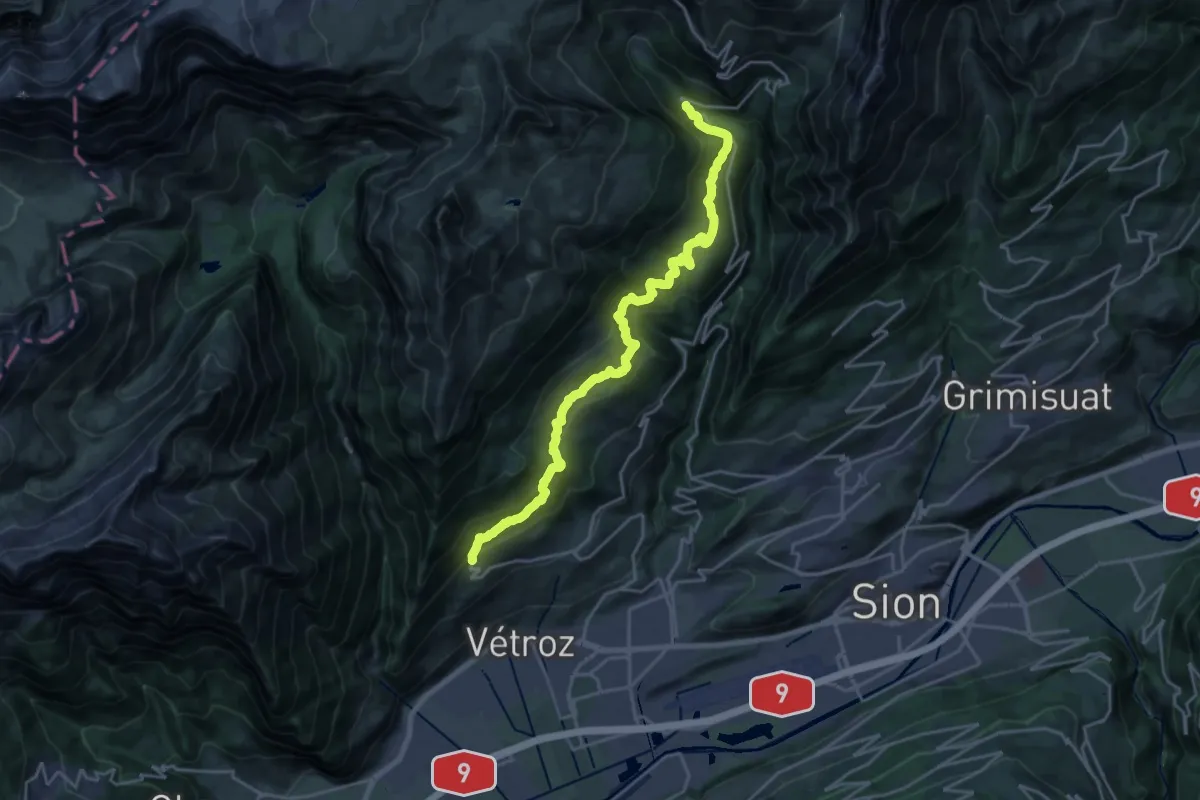
Demanding · Trail
Bisse de la Tsandra
11.5 km · ↑ 982 m · 4 h 45 min · 7 km away
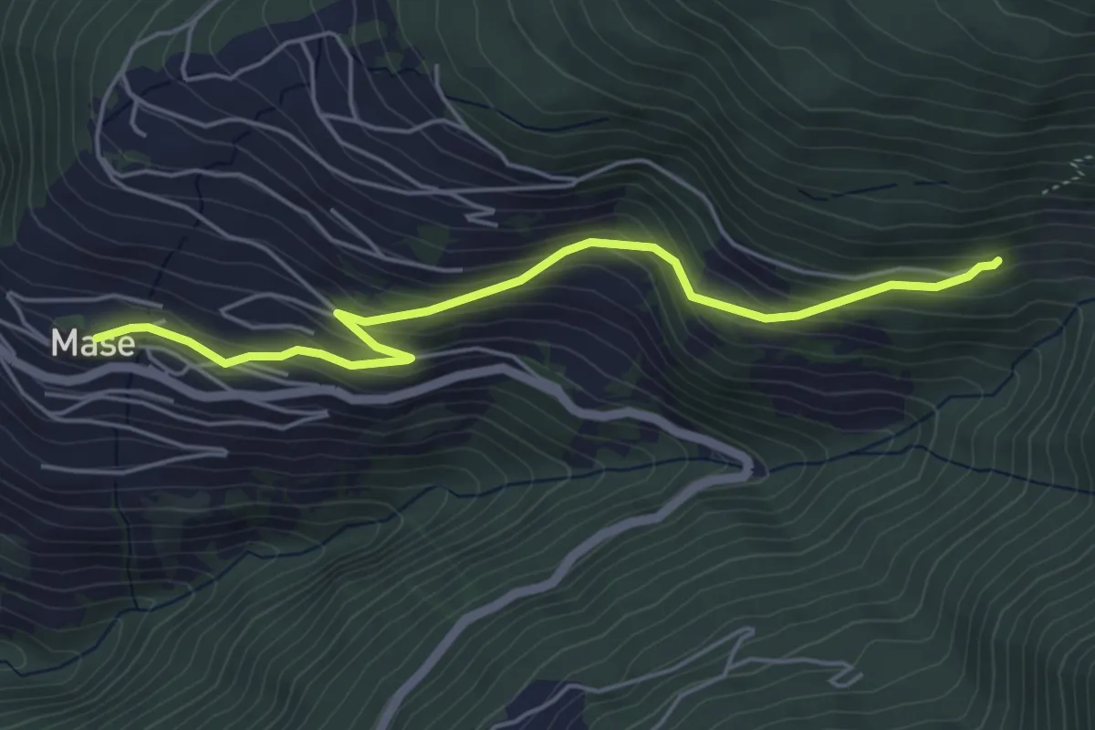
Easy · Trail
Mase – Mayen-des-Praz
5.2 km · ↑ 308 m · 1 h 53 min · 7 km away
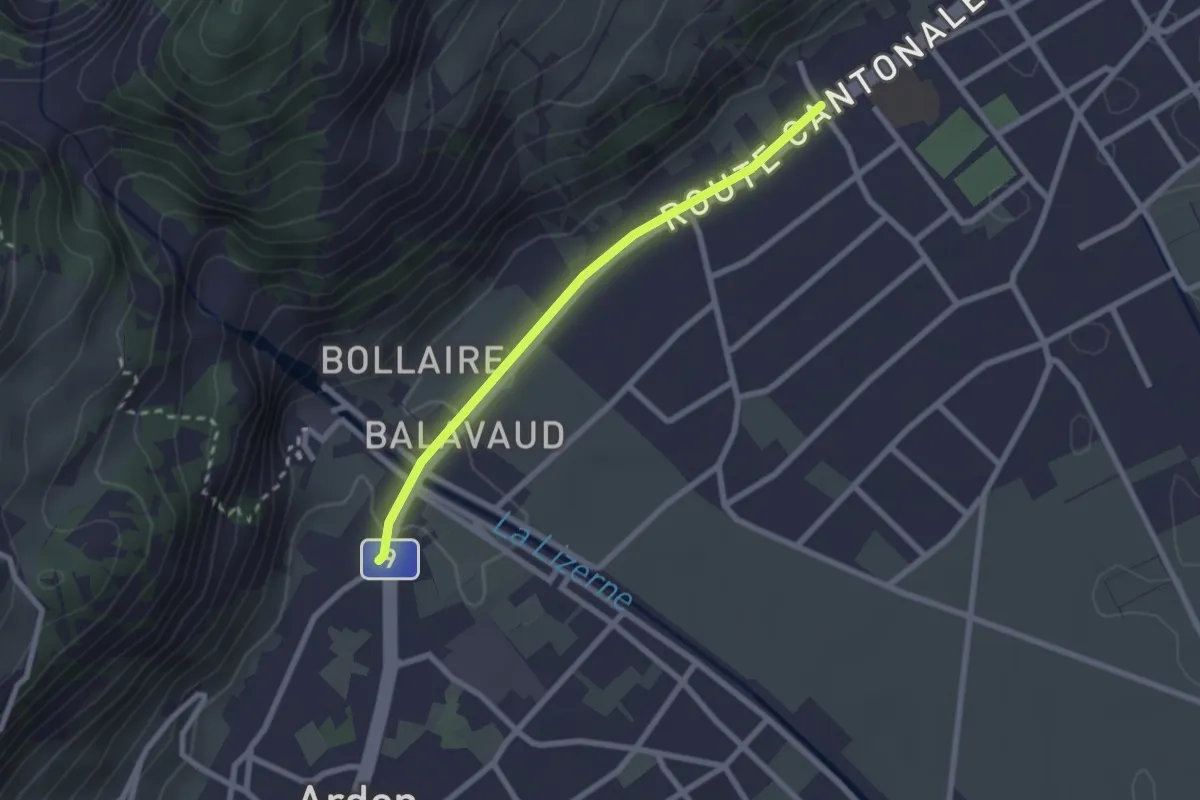
Easy · Trail
Magnot - fixme
2.2 km · ↑ 14 m · 33 min · 7 km away
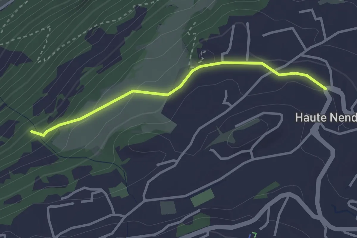
Easy · Trail
Haute-Nendaz - Les Tsintres
2.6 km · ↑ 127 m · 53 min · 7 km away
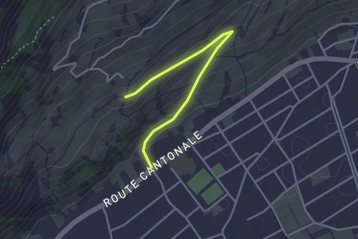
Easy · Trail
Magnot - fixme
2.7 km · ↑ 127 m · 55 min · 7 km away
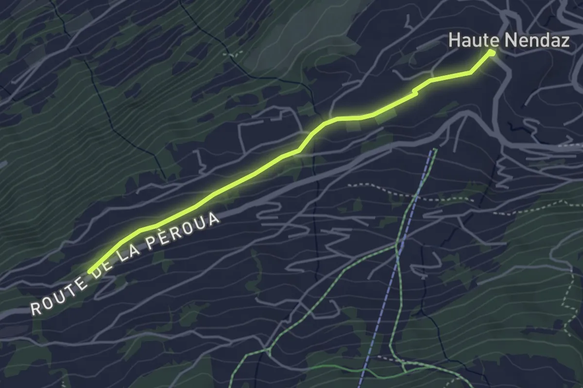
Easy · Trail
Haute-Nendaz - La Pèroua
4.0 km · ↑ 129 m · 1 h 14 min · 7 km away
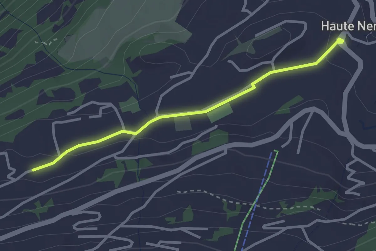
Easy · Trail
Haute-Nendaz - Tsamandon
2.6 km · ↑ 31 m · 41 min · 7 km away
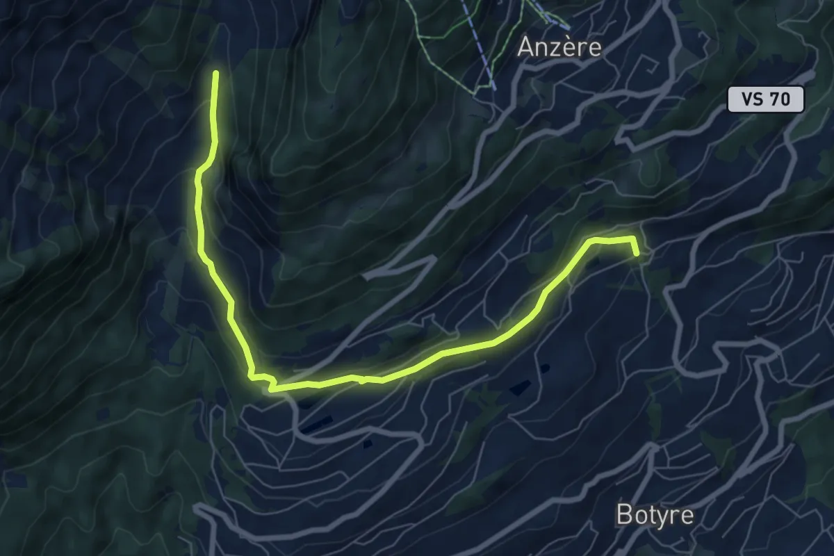
Medium · Trail
Bisse de Bitailla
7.7 km · ↑ 337 m · 2 h 33 min · 7 km away
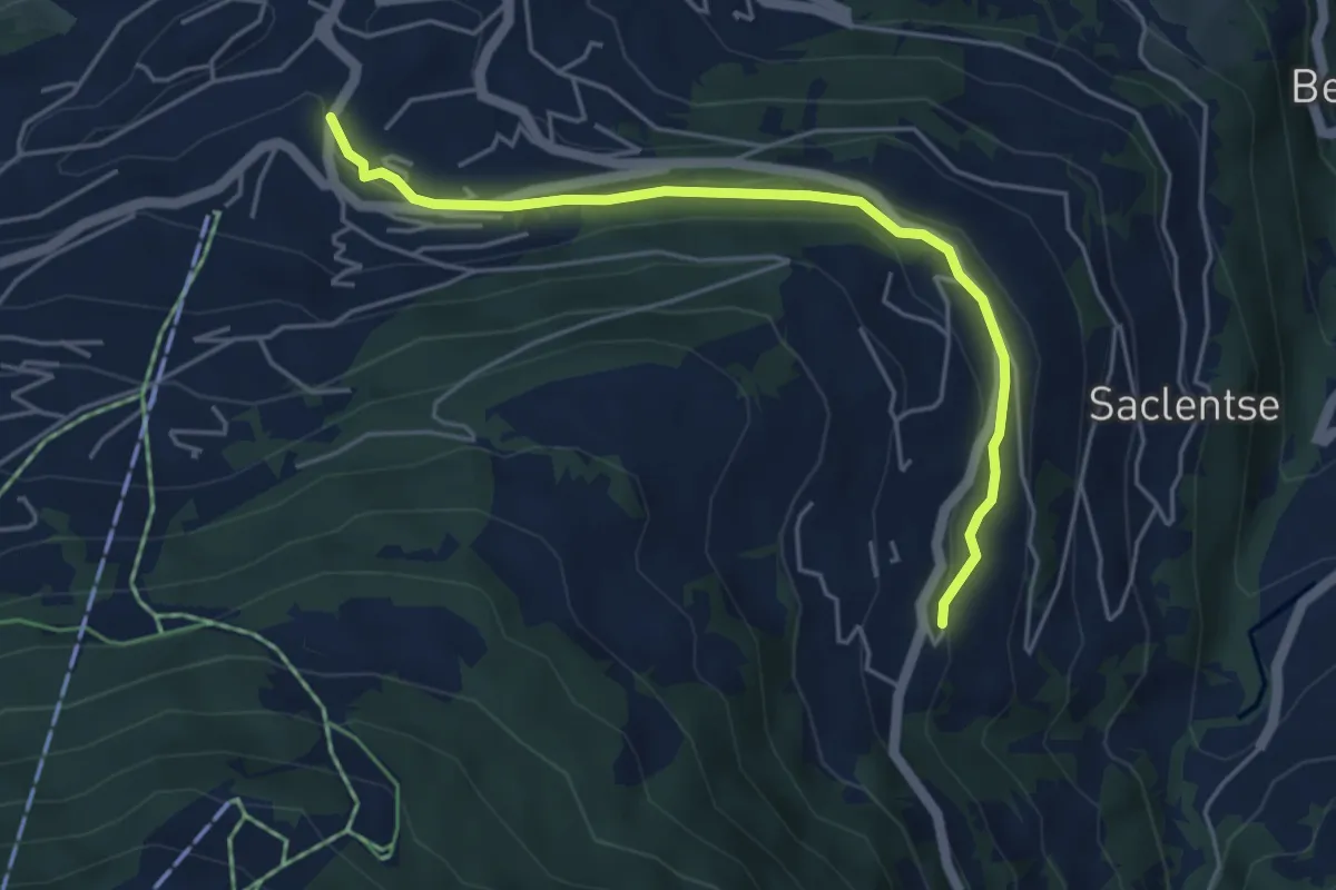
Easy · Trail
Le Bleusy - Haute-Nendaz
4.8 km · ↑ 108 m · 1 h 22 min · 7 km away
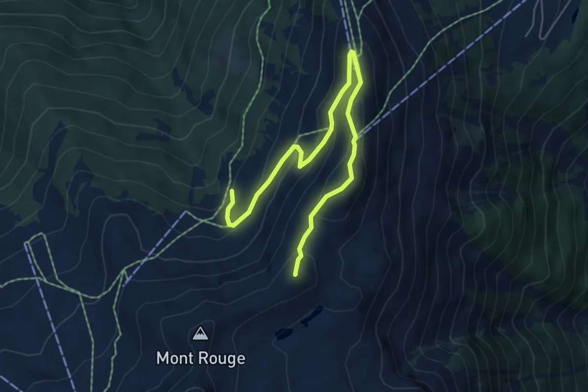
Medium · Summit
La Combire – Mont Carré
6.1 km · ↑ 413 m · 2 h 19 min · 7 km away
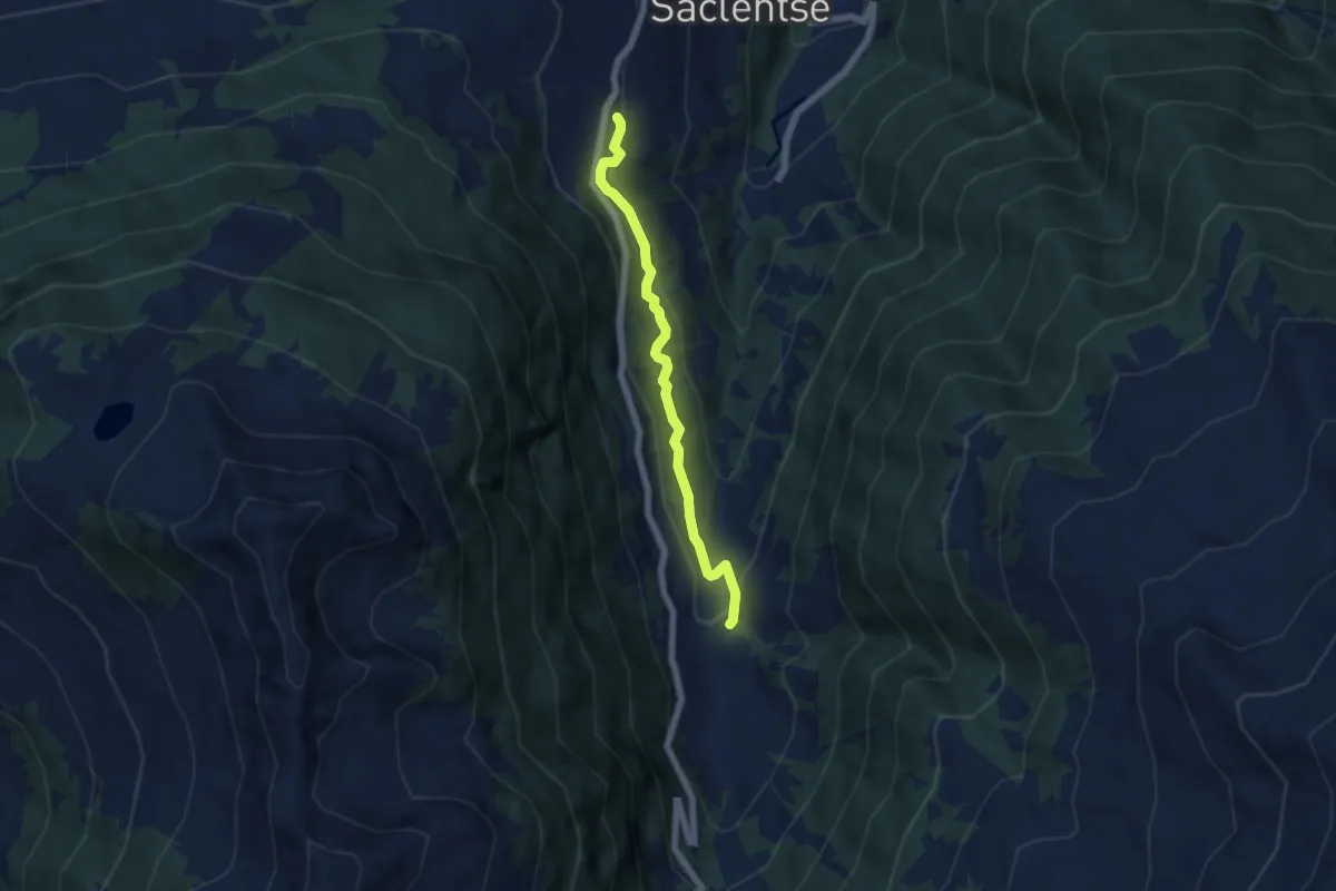
Easy · Trail
Planchouet - Le Bleusy
5.3 km · ↑ 255 m · 1 h 48 min · 8 km away
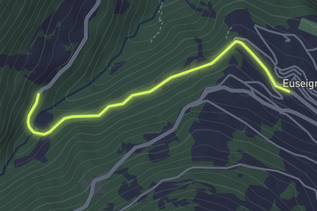
Easy · Trail
Euseigne - fixme
3.3 km · ↑ 125 m · 1 h 3 min · 8 km away
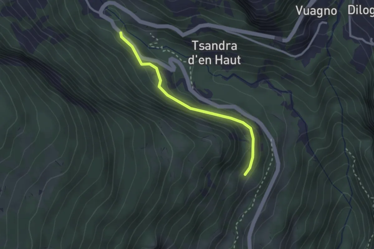
Medium · Trail
Petit bisse
2.3 km · ↑ 137 m · 50 min · 8 km away
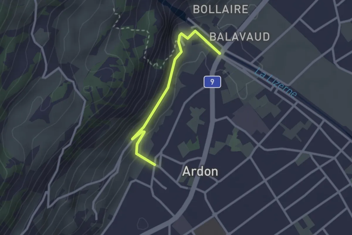
Easy · Trail
fixme - Ardon Centre
2.2 km · ↑ 131 m · 48 min · 8 km away
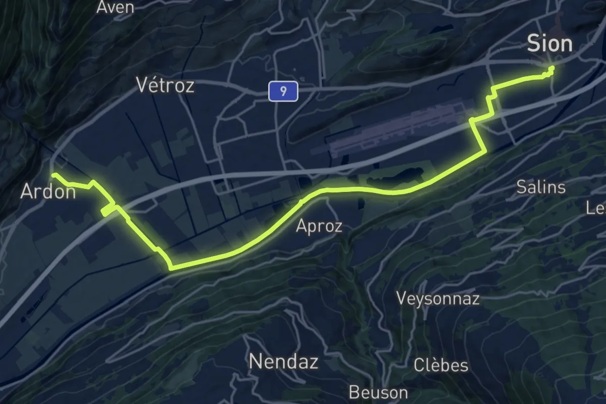
Demanding · Trail
Chemin des berges du Rhône
21.7 km · ↑ 35 m · 5 h 12 min · 8 km away
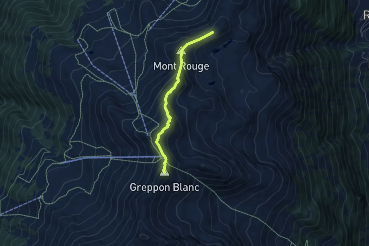
Medium · Summit
Mont Carré – Le Crepon Blanc
4.7 km · ↑ 370 m · 1 h 54 min · 8 km away
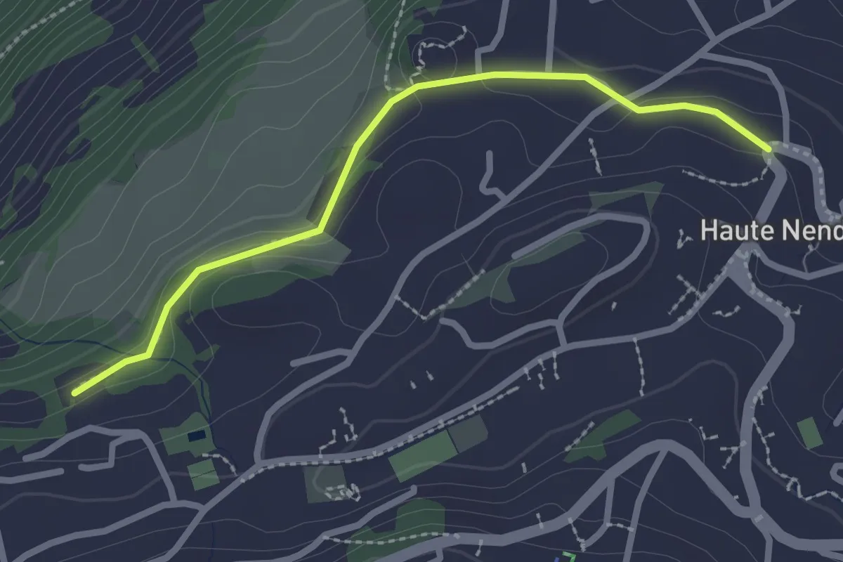
Easy · Trail
Haute-Nendaz - fixme
2.4 km · ↑ 20 m · 37 min · 8 km away
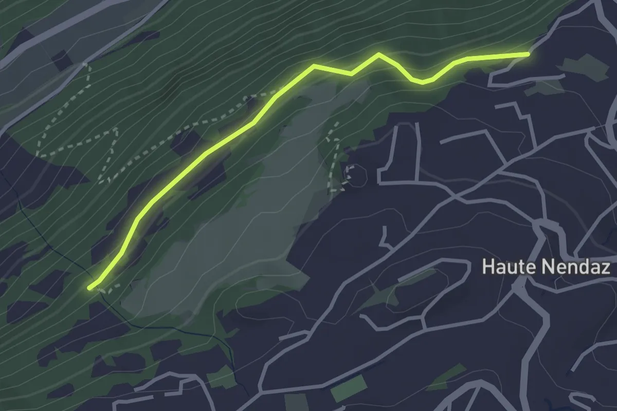
Easy · Trail
Les Tsintres - fixme
2.9 km · ↑ 177 m · 1 h 4 min · 8 km away
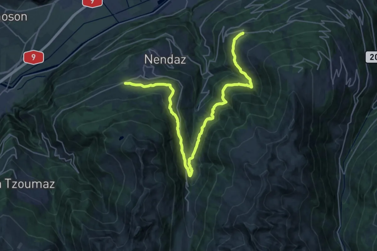
Medium · Trail
03-Chemin des Bisses
13.4 km · ↑ 530 m · 4 h 32 min · 8 km away
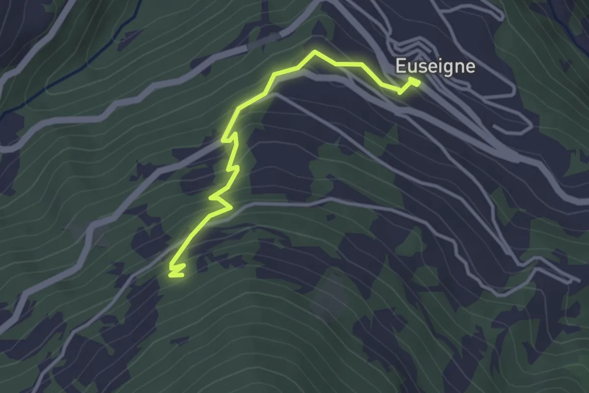
Easy · Trail
Euseigne - fixme
3.1 km · ↑ 243 m · 1 h 15 min · 8 km away
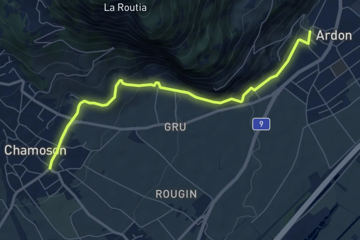
Easy · Trail
Chamoson - Ardon Centre
6.6 km · ↑ 268 m · 2 h 8 min · 8 km away
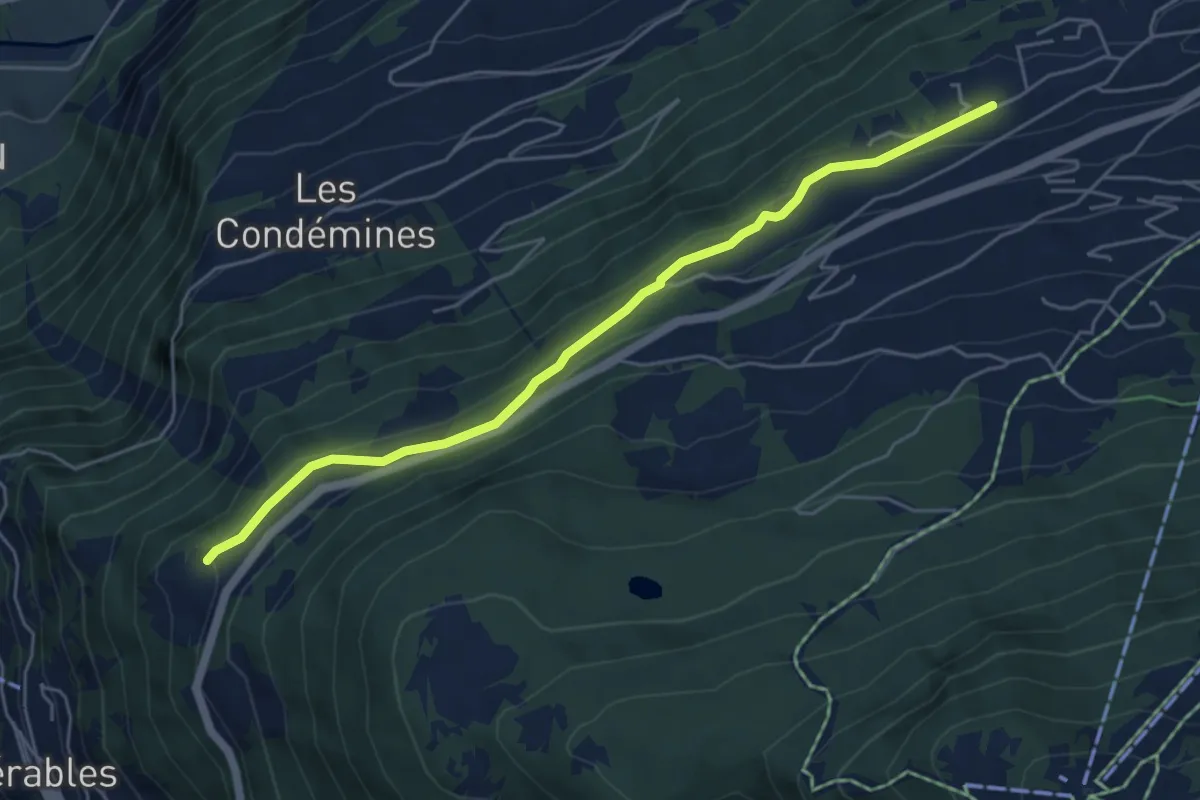
Easy · Trail
Tsamandon - Les Crêtaux
5.4 km · ↑ 160 m · 1 h 37 min · 8 km away
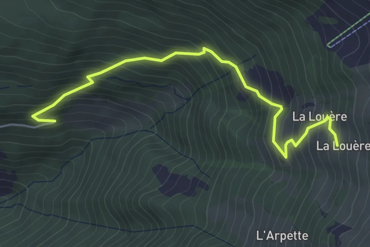
Medium · Cabin
Mayen-des-Praz – La Louère
5.0 km · ↑ 516 m · 2 h 18 min · 9 km away
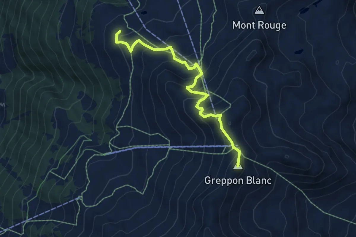
Medium · Summit
La Meina – Le Crepon Blanc
5.9 km · ↑ 464 m · 2 h 23 min · 9 km away
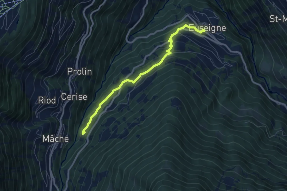
Medium · Trail
Euseigne - fixme
6.6 km · ↑ 364 m · 2 h 20 min · 9 km away
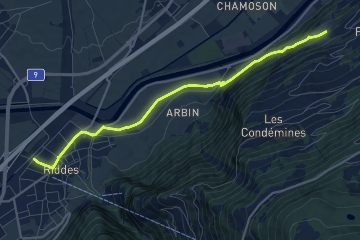
Medium · Trail
Riddes - La Vouarde
8.5 km · ↑ 299 m · 2 h 39 min · 9 km away