Trails near Spiez
411 hikes starting within 15 km, nearest first.
Nearest first, page 1 of 9
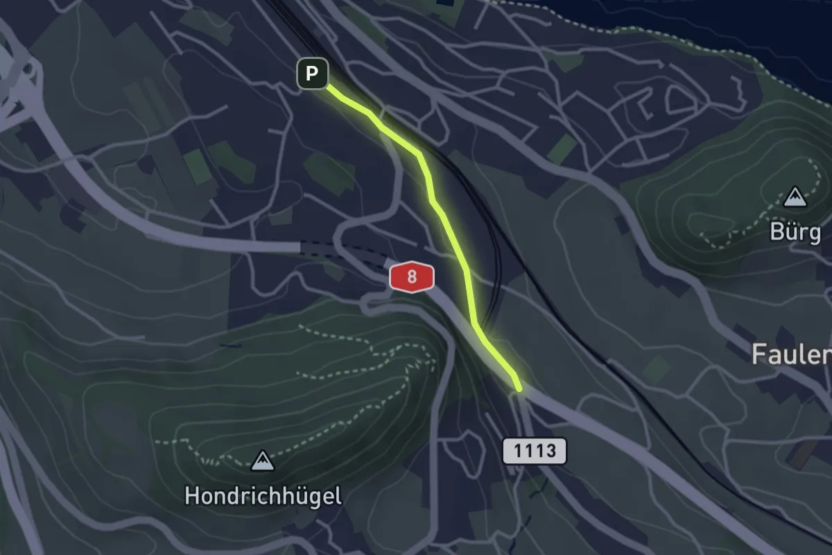
Easy · Trail
Spiez/Bahnhof – Salzbrunnen
2.3 km · ↑ 36 m · 37 min · 1 km away
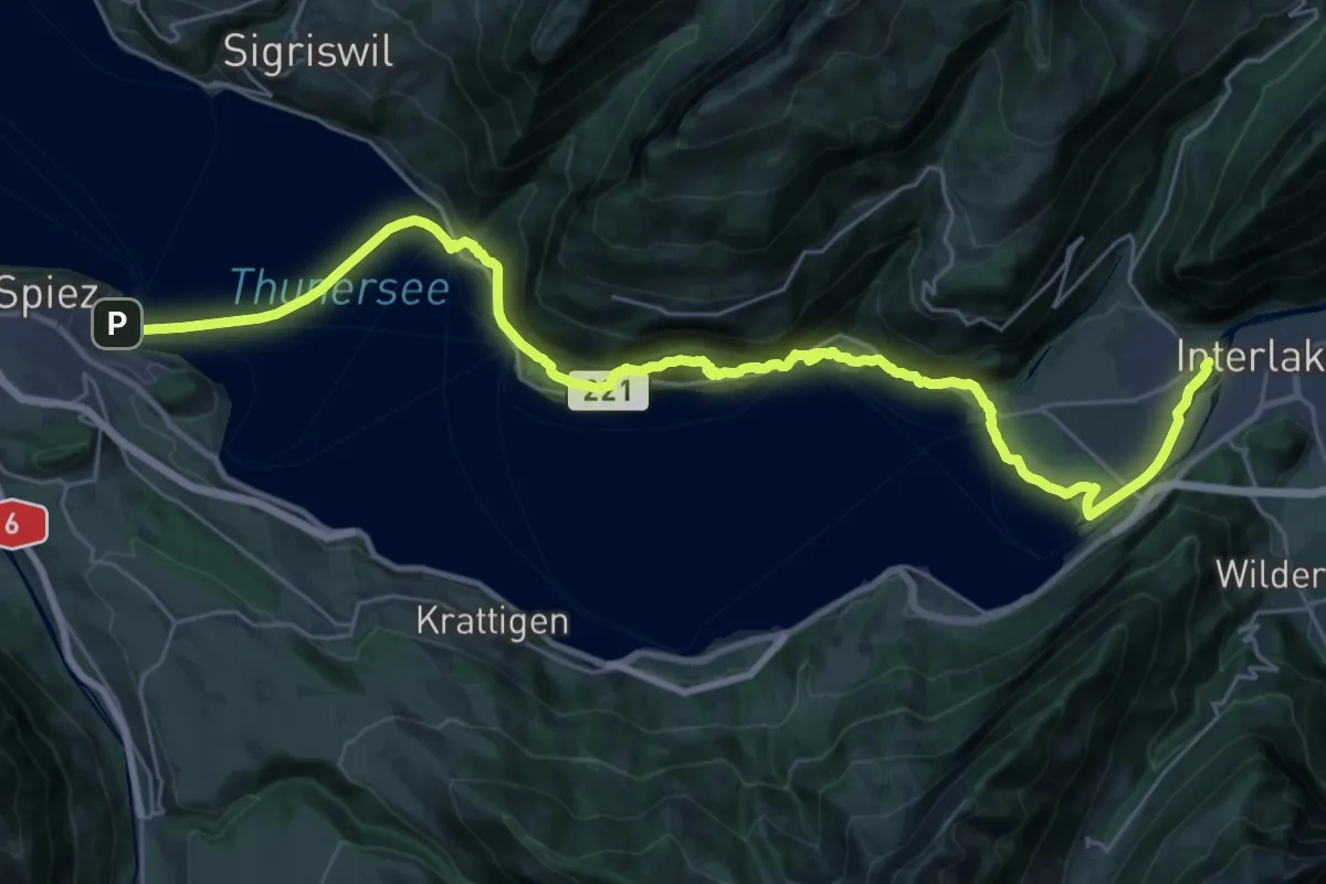
Medium · Trail
ViaJacobi
17.1 km · ↑ 649 m · 5 h 40 min · 1 km away
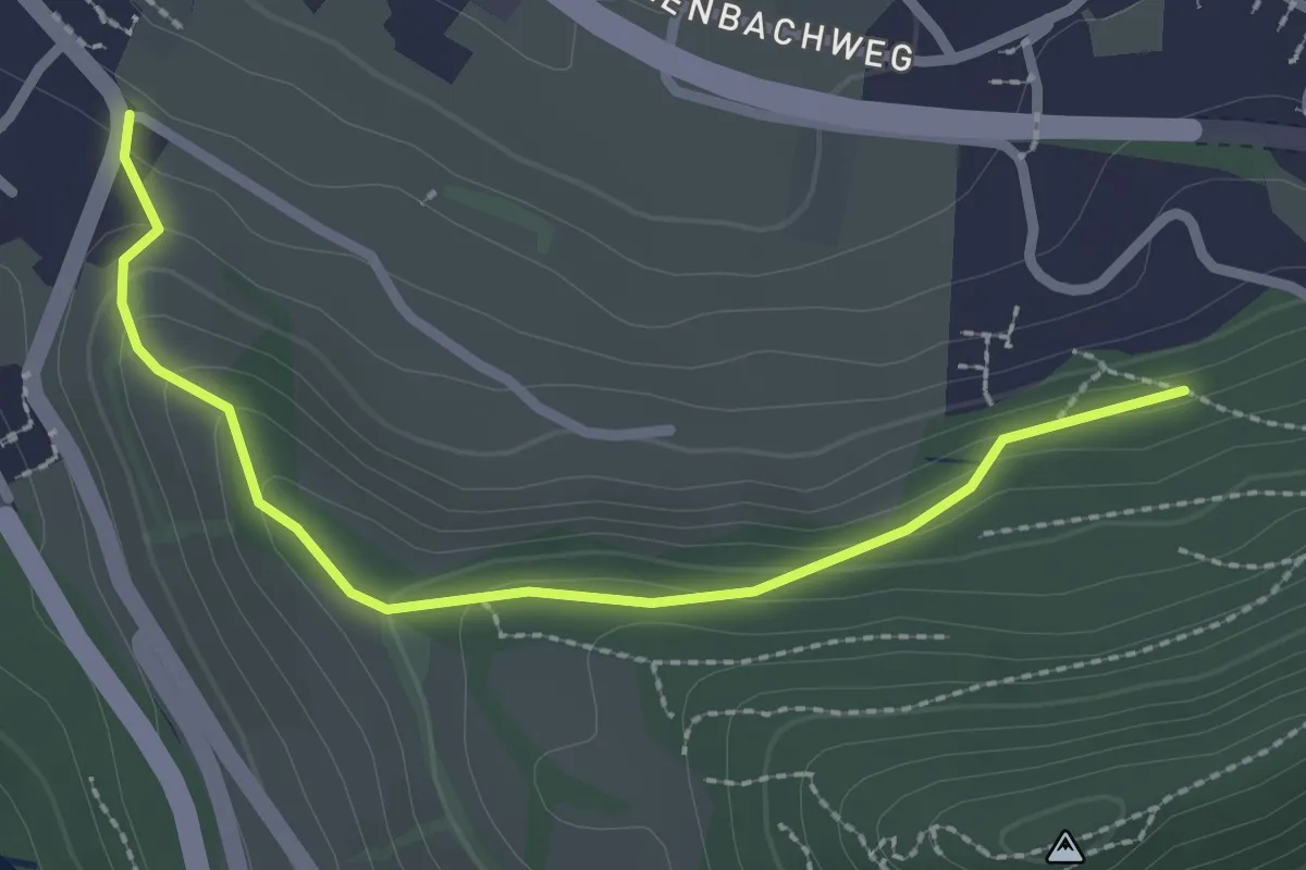
Easy · Trail
Hondrichwald – Spiezwiler
2.6 km · ↑ 99 m · 49 min · 1 km away
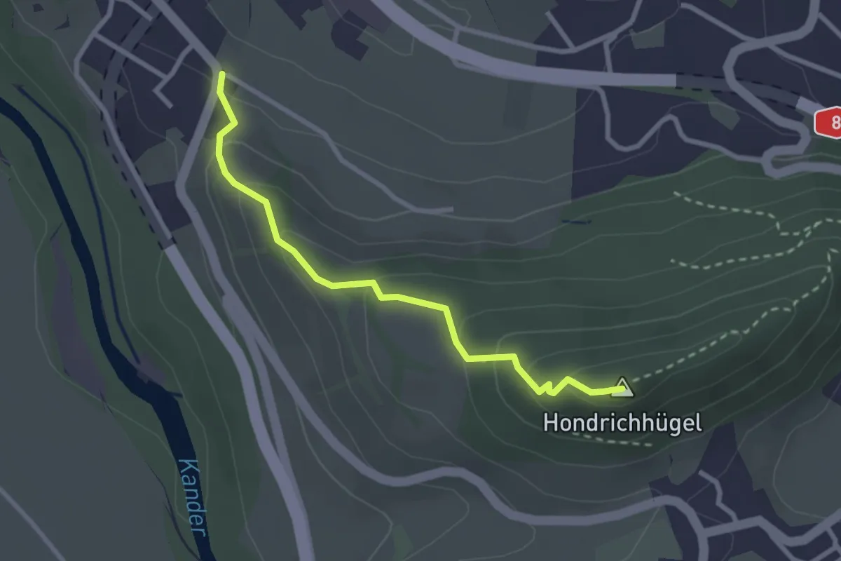
Easy · Summit
Hondrichhügel – Spiezwiler
2.6 km · ↑ 174 m · 1 h · 1 km away
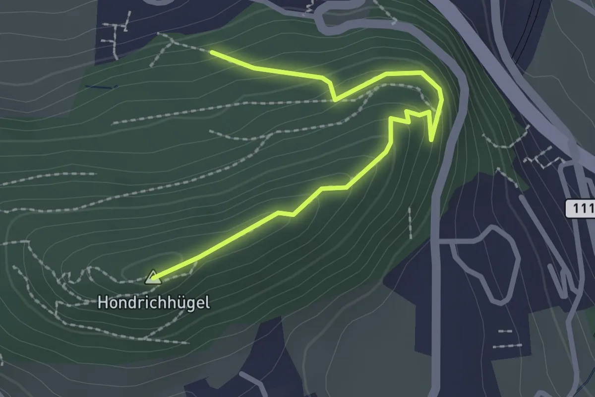
Easy · Summit
Hondrichwald – Hondrichhügel
2.5 km · ↑ 210 m · 1 h 2 min · 1 km away
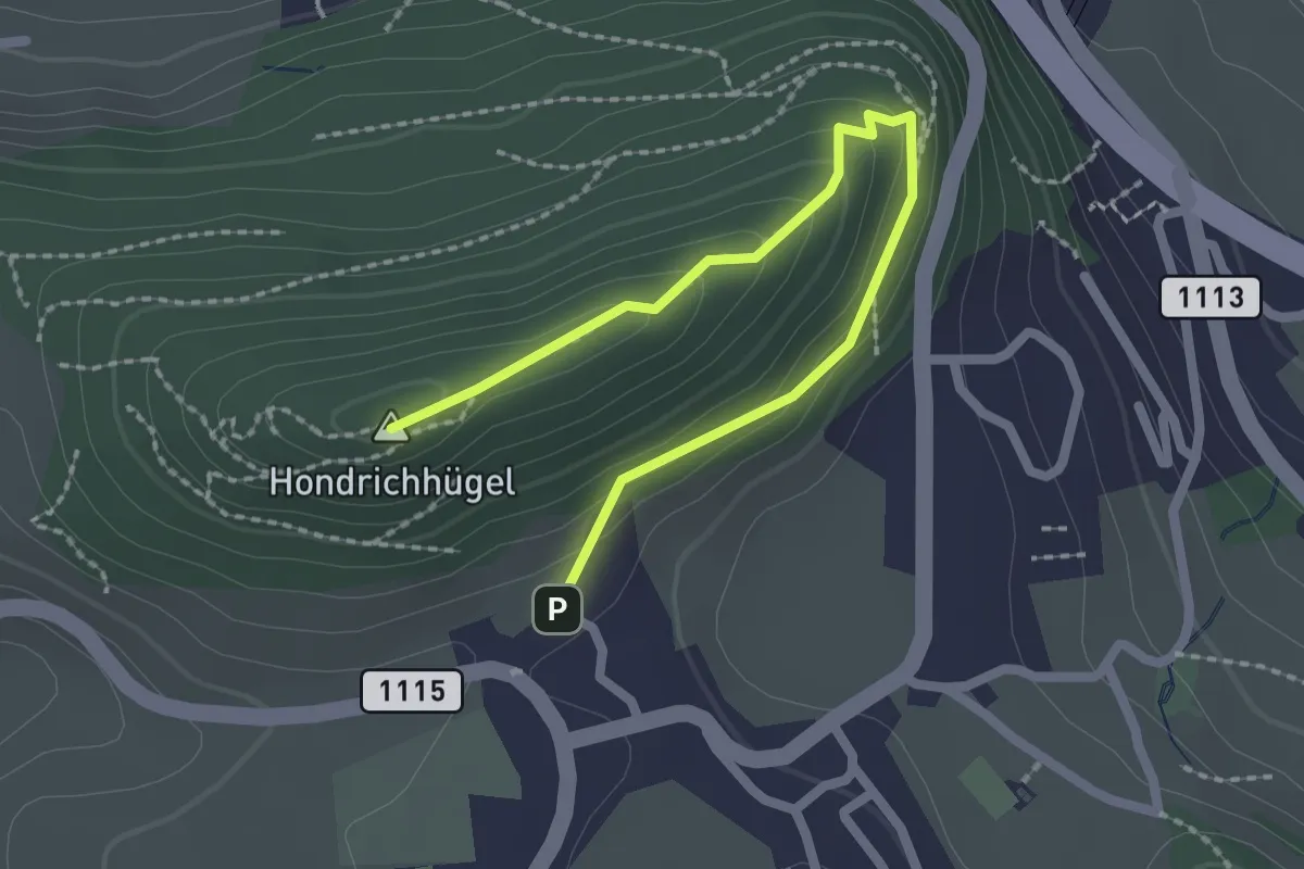
Easy · Summit
Hondrichhügel – Hondrich
2.5 km · ↑ 138 m · 53 min · 2 km away
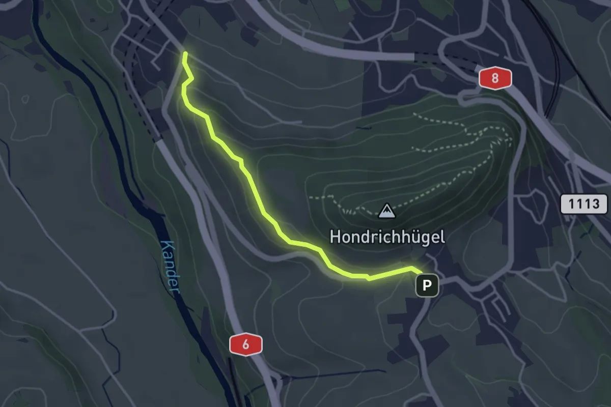
Easy · Trail
Hondrich – Spiezwiler
3.2 km · ↑ 101 m · 58 min · 2 km away
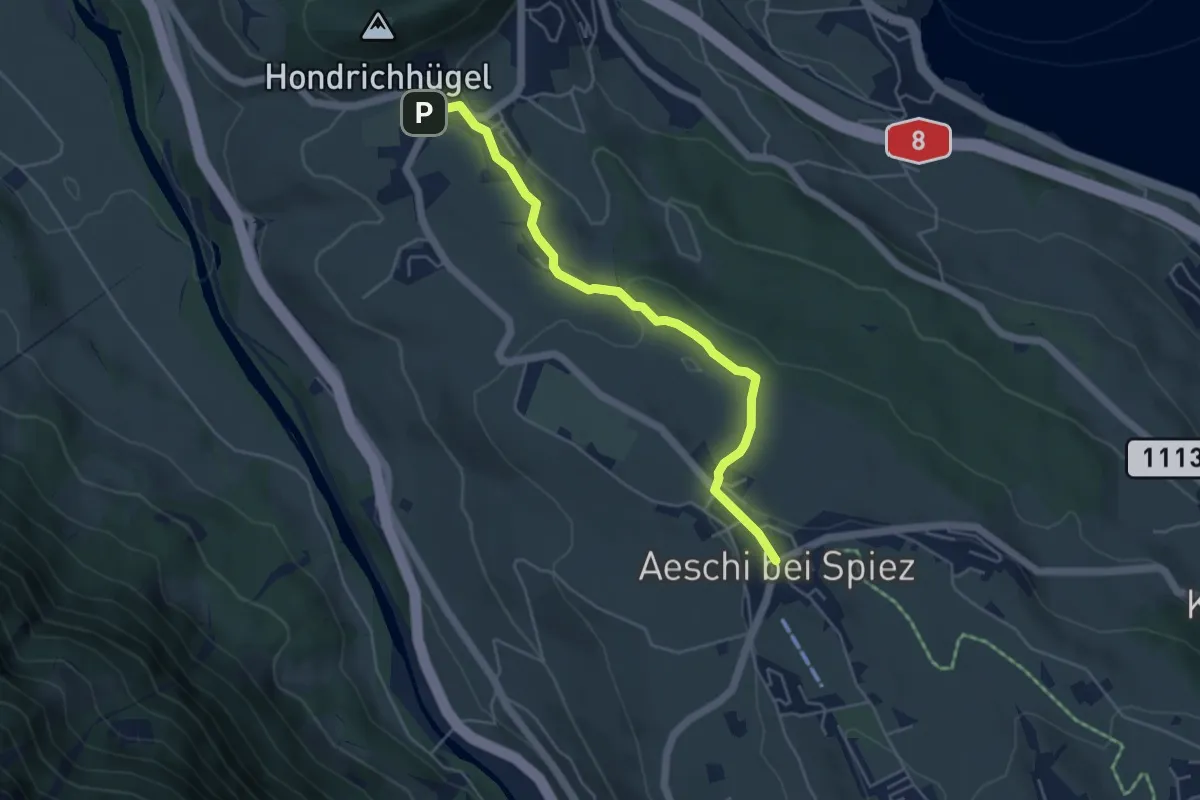
Easy · Trail
Hondrich – Aeschi
4.8 km · ↑ 118 m · 1 h 23 min · 2 km away
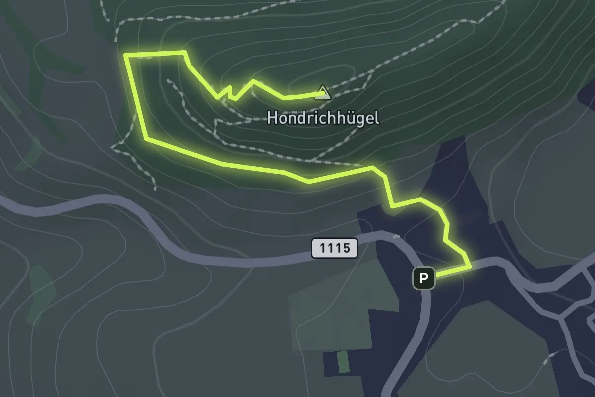
Easy · Summit
Hondrich – Hondrichhügel
2.5 km · ↑ 124 m · 51 min · 2 km away
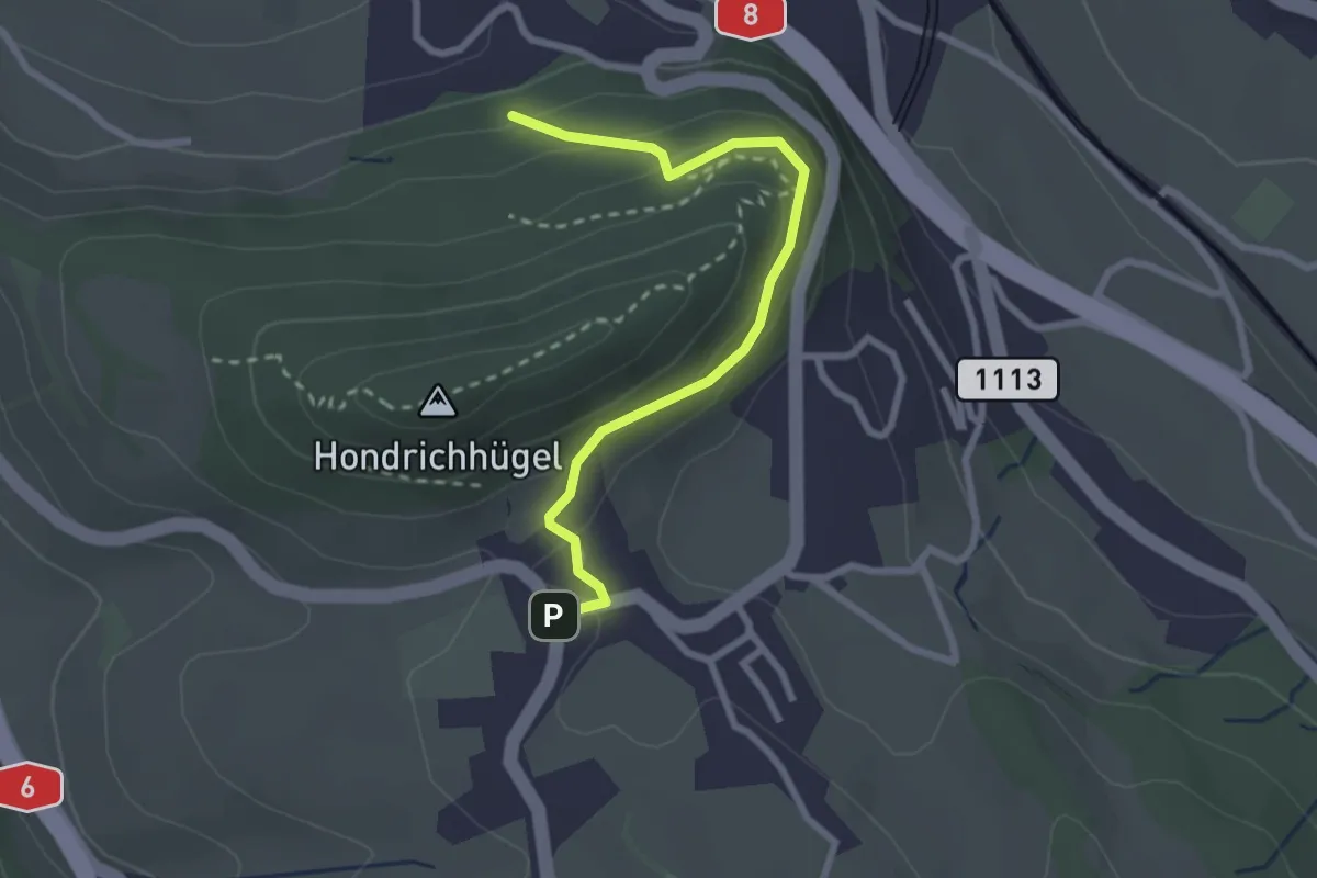
Easy · Trail
Hondrichwald – Hondrich
2.6 km · ↑ 195 m · 1 h 3 min · 2 km away
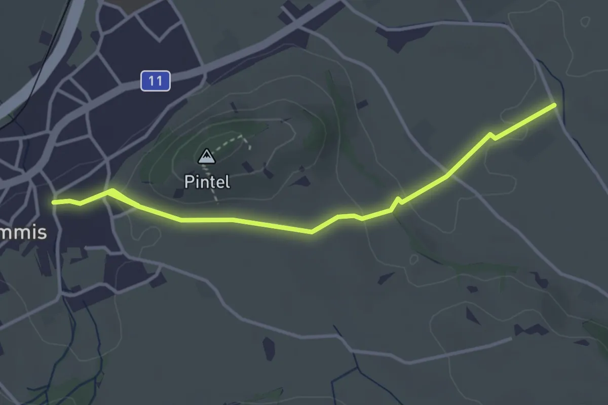
Easy · Trail
Wimmis – Rütene
3.8 km · ↑ 68 m · 1 h 2 min · 2 km away
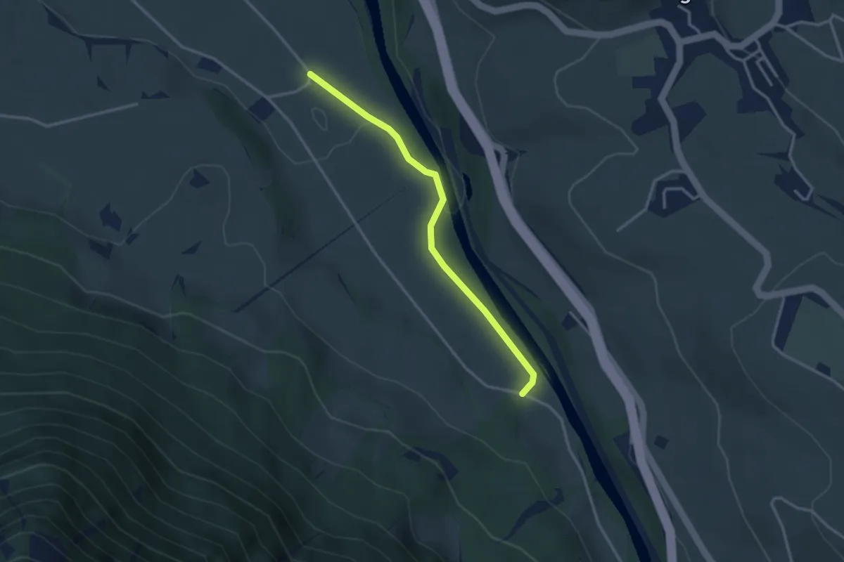
Easy · Trail
Rossweid – Bodenweid
2.9 km · ↑ 17 m · 43 min · 2 km away
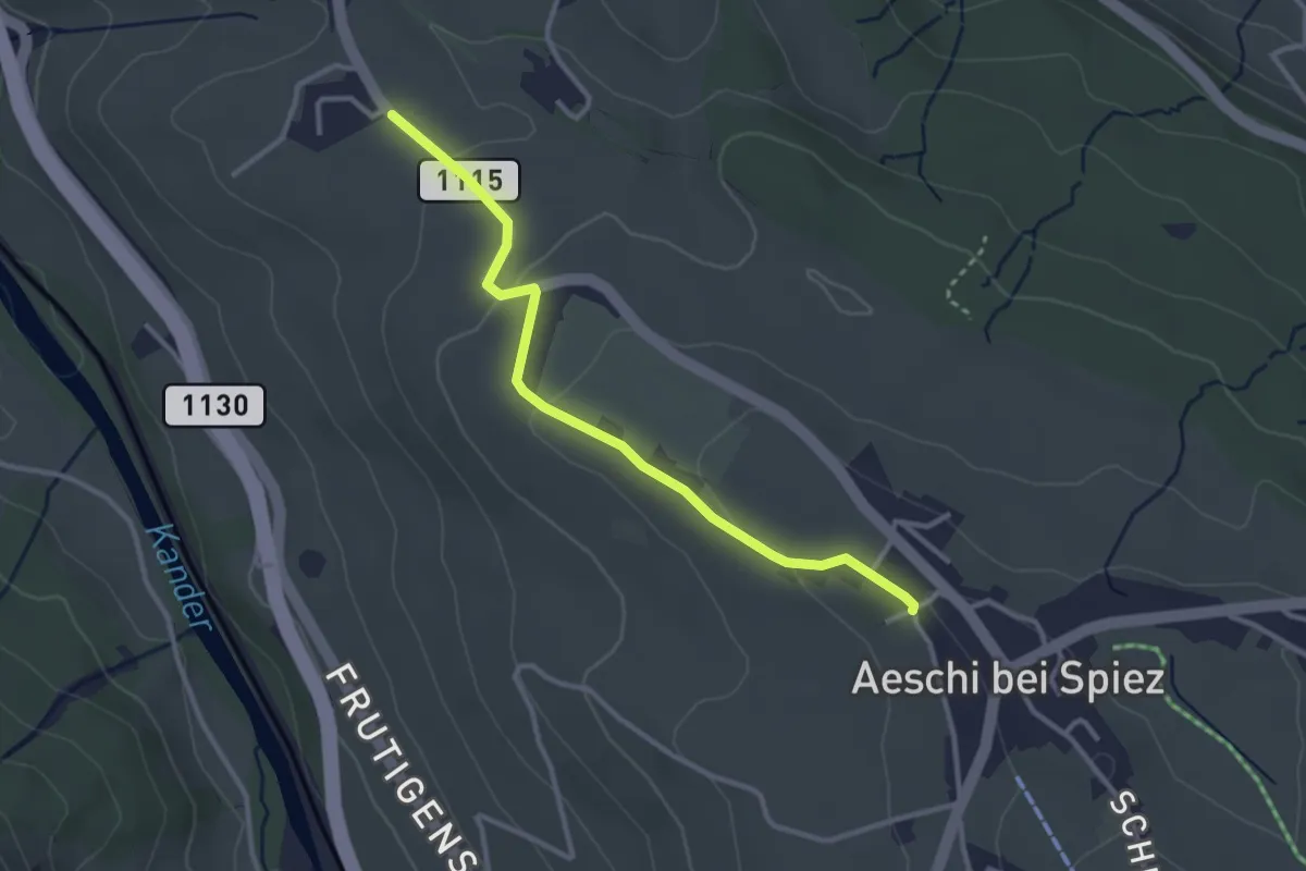
Easy · Trail
Aeschi – Bühlen
3.1 km · ↑ 73 m · 54 min · 3 km away
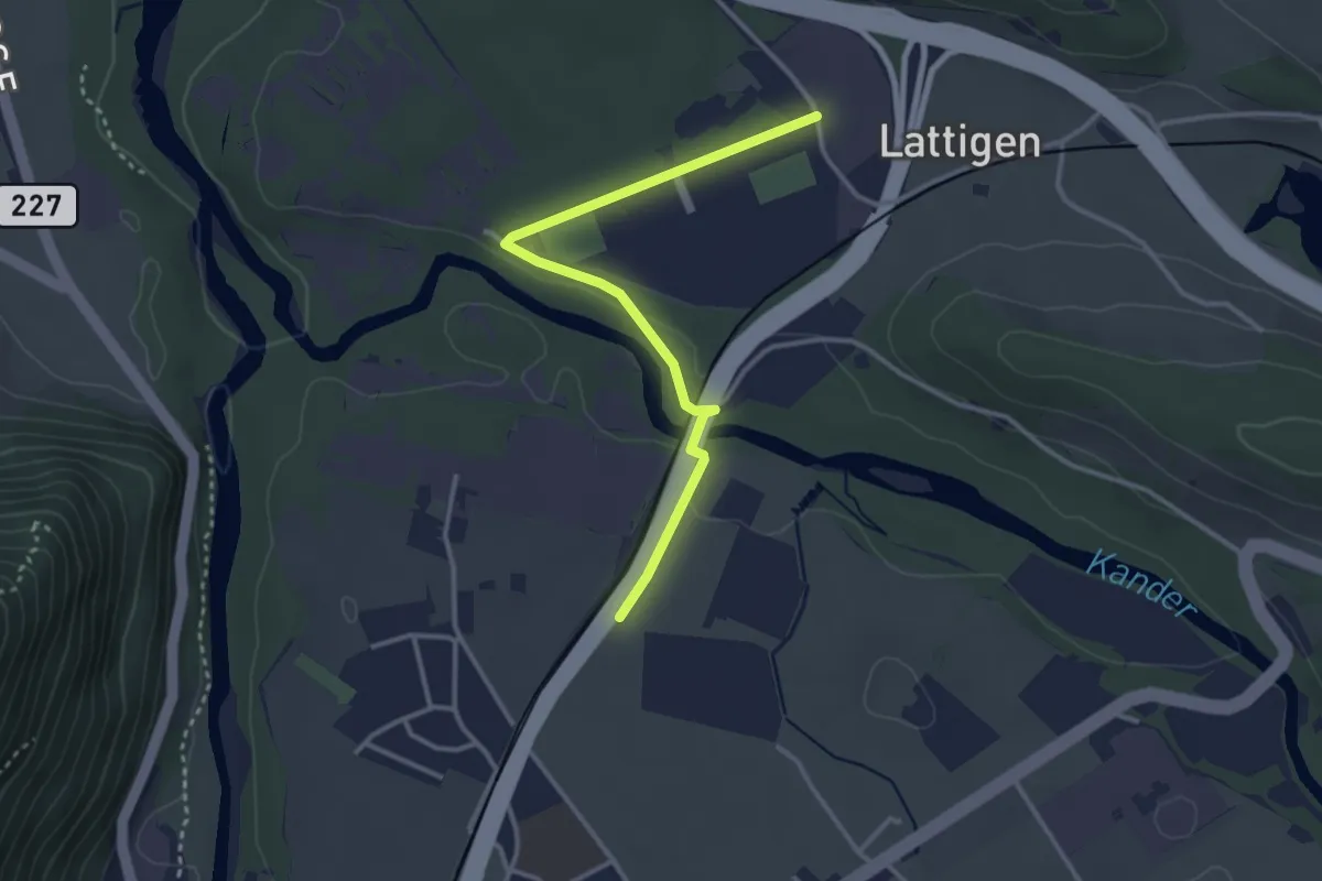
Easy · Trail
Eifeld – Lattigen
3.3 km · ↑ 28 m · 51 min · 3 km away
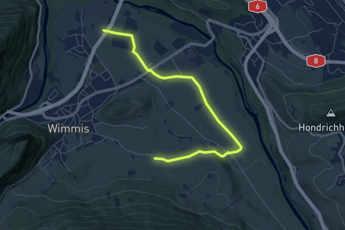
Easy · Trail
Eifeld – Hasli
7.2 km · ↑ 71 m · 1 h 51 min · 3 km away
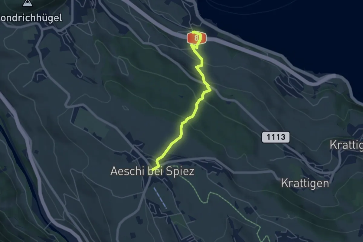
Easy · Trail
Aeschi – Faulensee
4.3 km · ↑ 261 m · 1 h 35 min · 3 km away
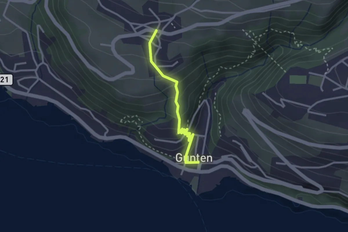
Easy · Trail
Gunten – Aeschlen
2.3 km · ↑ 192 m · 58 min · 3 km away
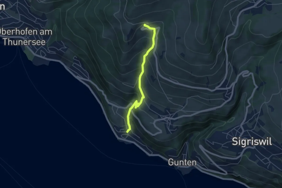
Medium · Trail
Ringoldswil – Oertli
4.6 km · ↑ 439 m · 2 h 2 min · 3 km away
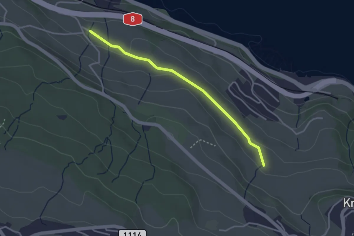
Easy · Trail
Schüpfgasse – Allmend
2.9 km · ↑ 45 m · 46 min · 3 km away
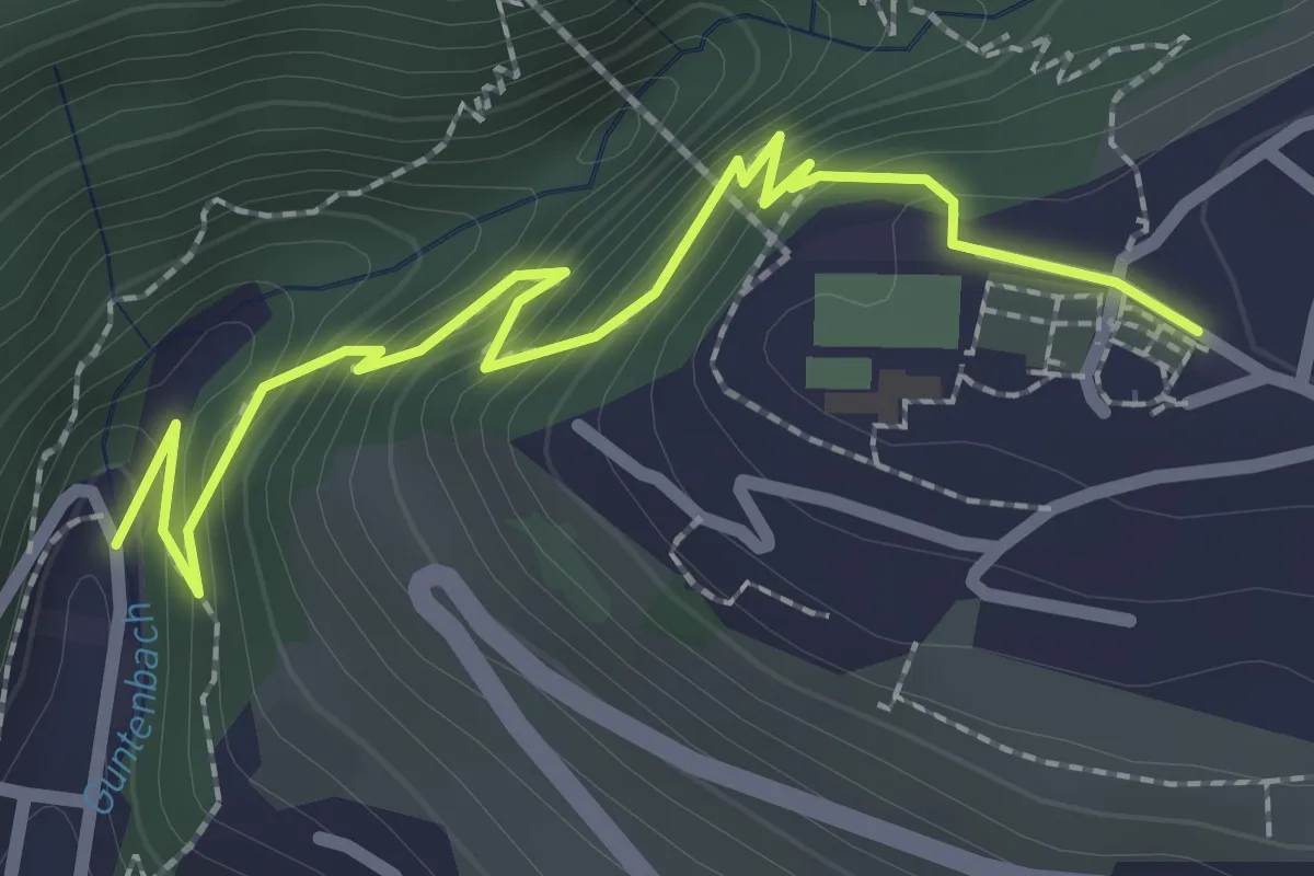
Easy · Trail
Gunten – Sigriswil
2.7 km · ↑ 186 m · 1 h 3 min · 3 km away
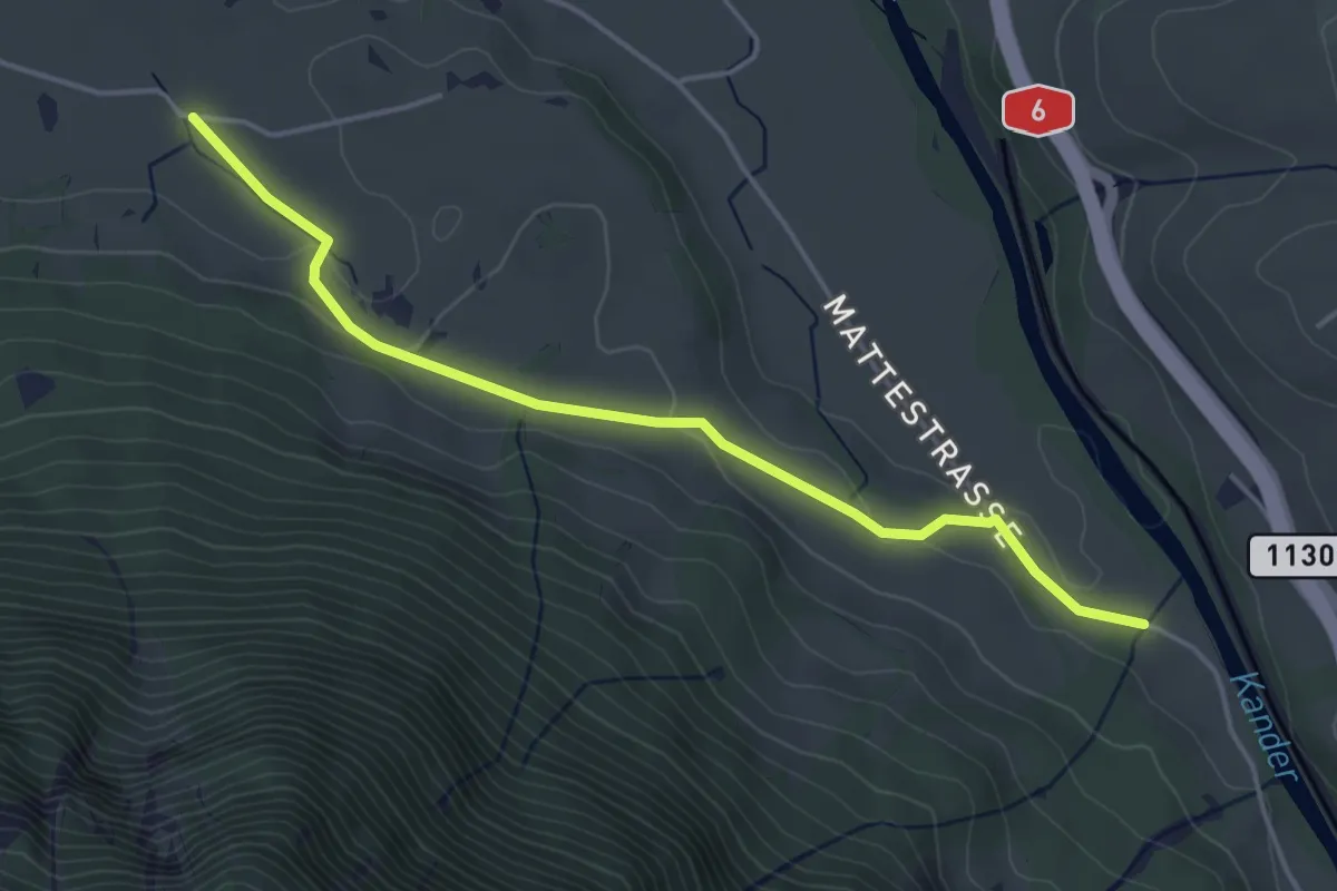
Easy · Trail
Rossweid – Hasli
4.4 km · ↑ 82 m · 1 h 12 min · 3 km away
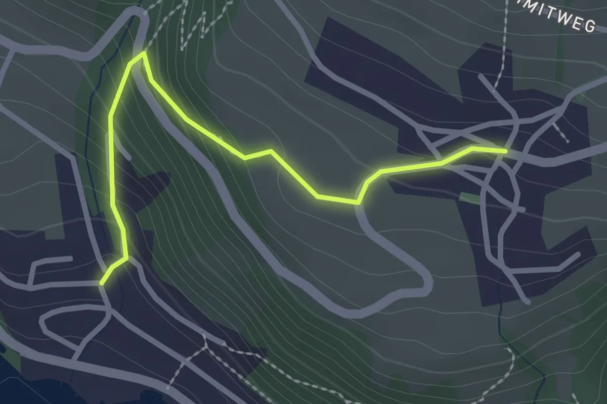
Easy · Trail
Aeschlen – Oertli
2.3 km · ↑ 180 m · 56 min · 3 km away
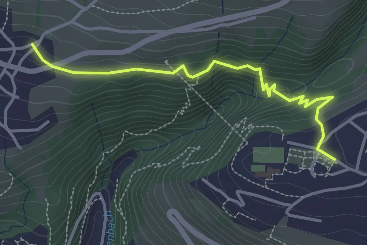
Easy · Trail
Sigriswil – Aeschlen
2.9 km · ↑ 148 m · 1 h · 4 km away
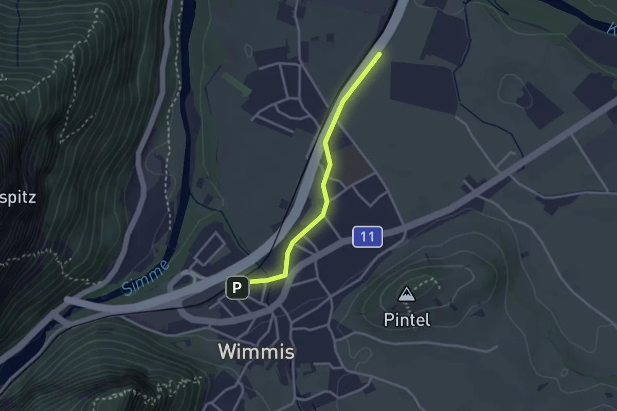
Easy · Trail
Wimmis – Eifeld
2.4 km · ↑ 13 m · 36 min · 4 km away
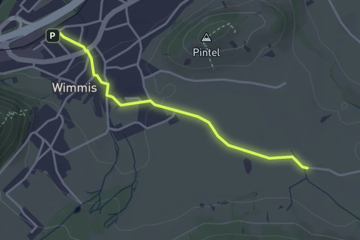
Easy · Trail
Hasli – Wimmis
2.9 km · ↑ 38 m · 46 min · 4 km away
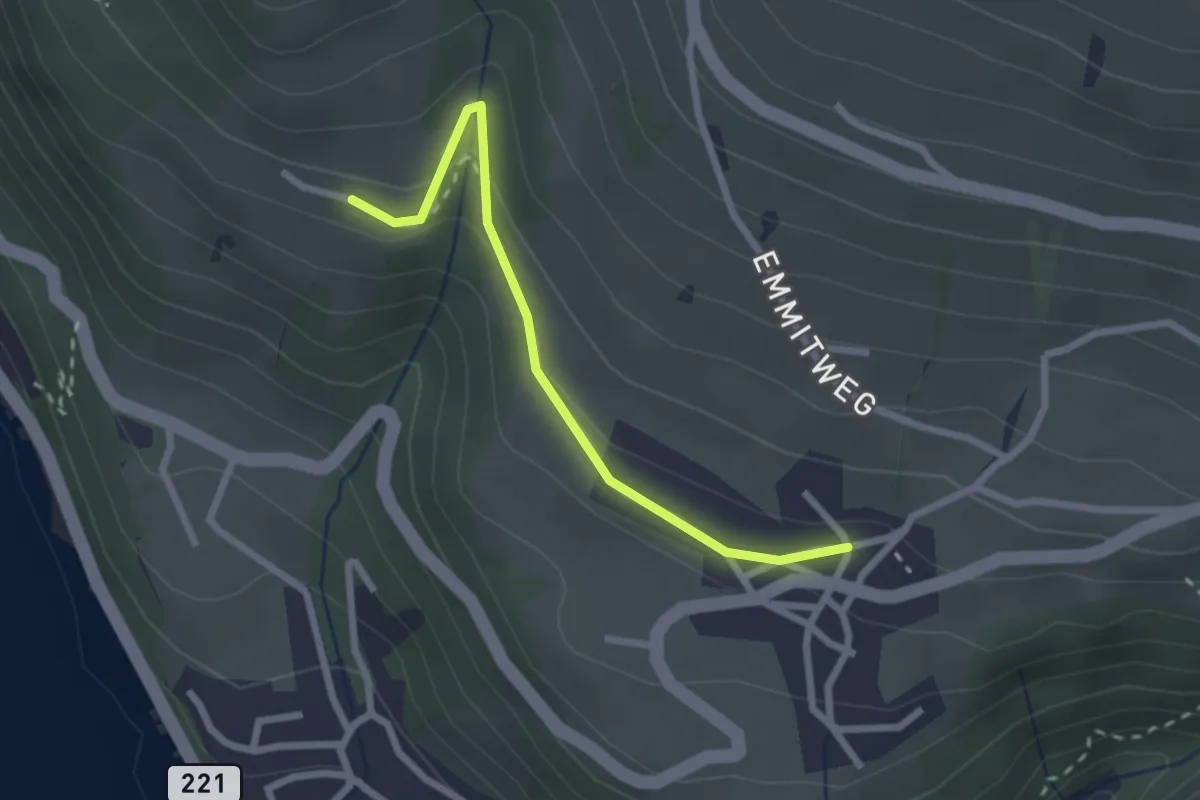
Easy · Trail
Erizbüel – Aeschlen
2.4 km · ↑ 86 m · 45 min · 4 km away
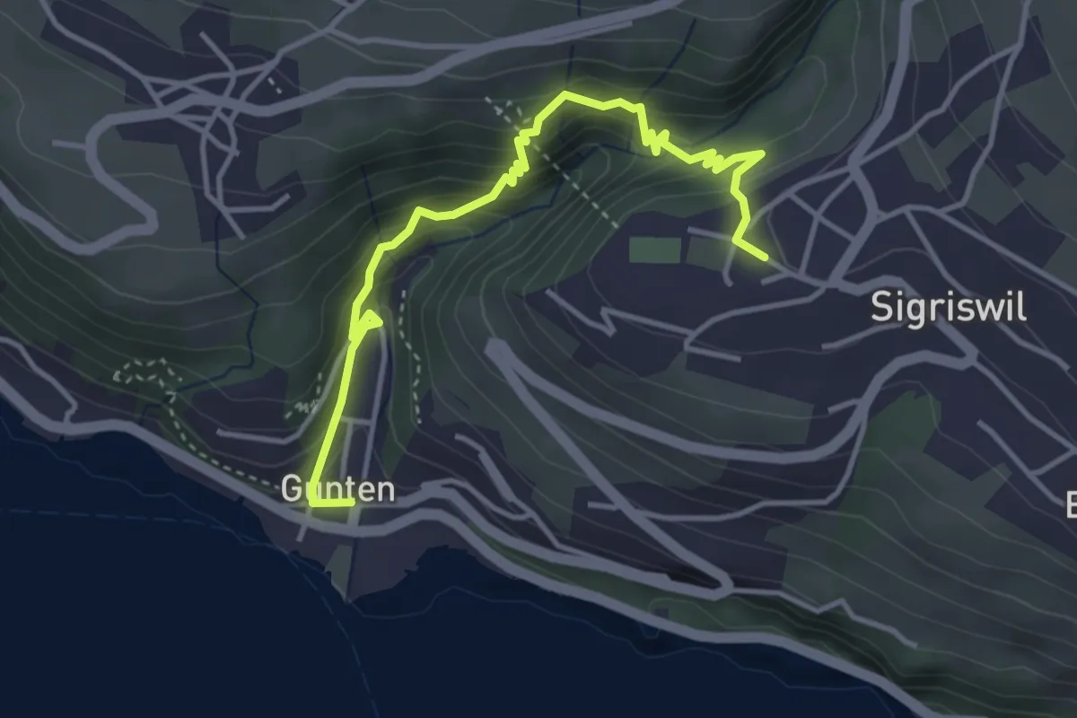
Easy · Trail
Gunten – Sigriswil
4.2 km · ↑ 303 m · 1 h 38 min · 4 km away
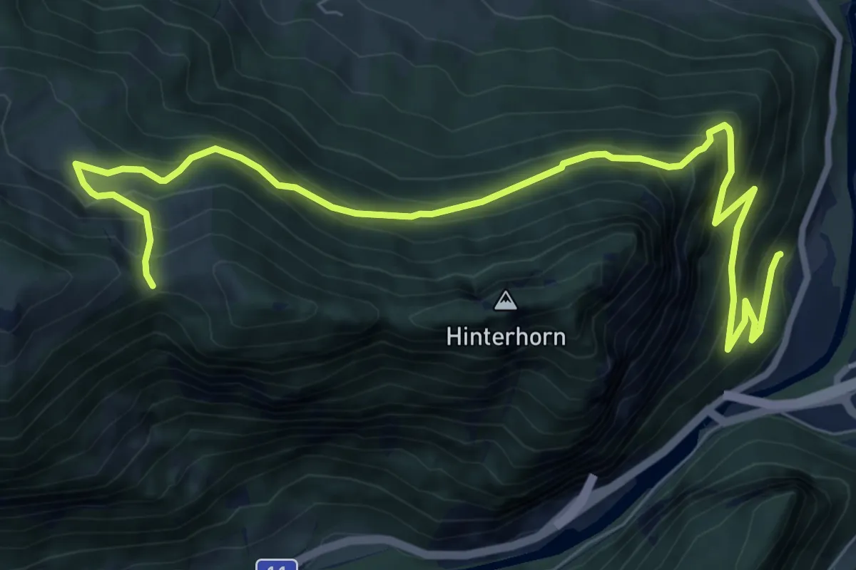
Demanding · Trail
Brodhüsi – Chrindi
10.0 km · ↑ 861 m · 4 h 13 min · 4 km away
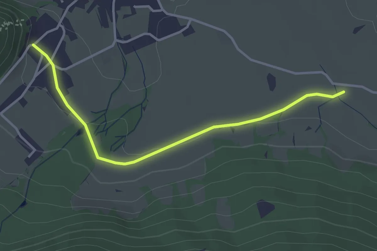
Easy · Trail
Oberdorf – Hasli
3.2 km · ↑ 51 m · 52 min · 4 km away
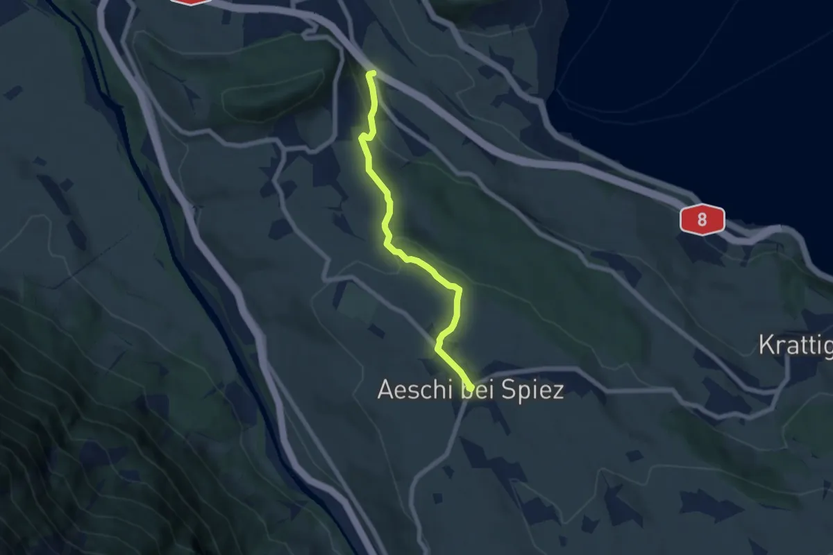
Easy · Trail
Salzbrunnen – Aeschi
5.4 km · ↑ 215 m · 1 h 44 min · 4 km away
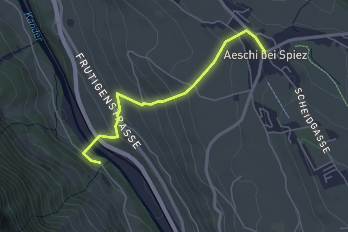
Easy · Trail
Heustrich – Aeschi
3.9 km · ↑ 194 m · 1 h 21 min · 4 km away
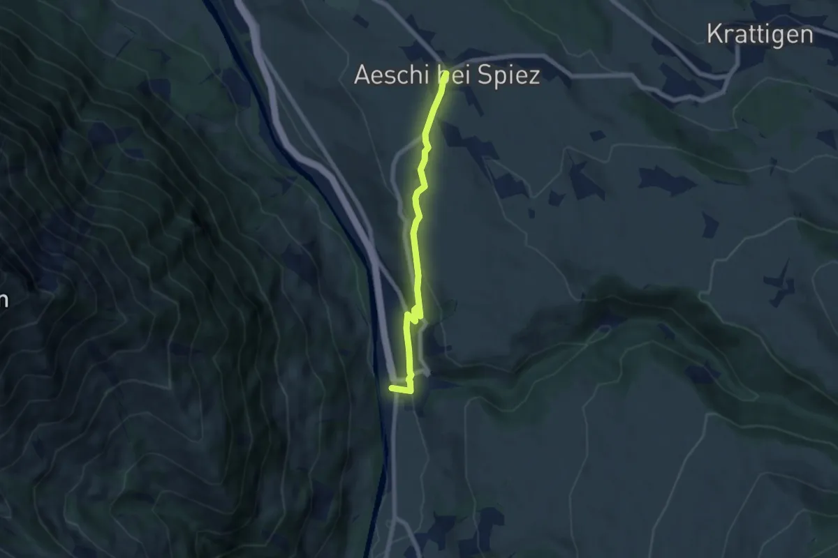
Easy · Trail
Aeschi – Mülenen
5.5 km · ↑ 166 m · 1 h 39 min · 4 km away
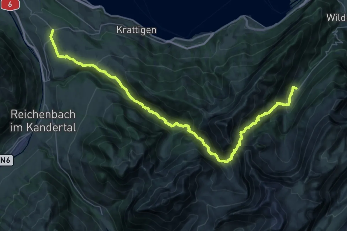
Demanding · Trail
ViaBerna Etappe 12
16.7 km · ↑ 1124 m · 6 h 29 min · 4 km away
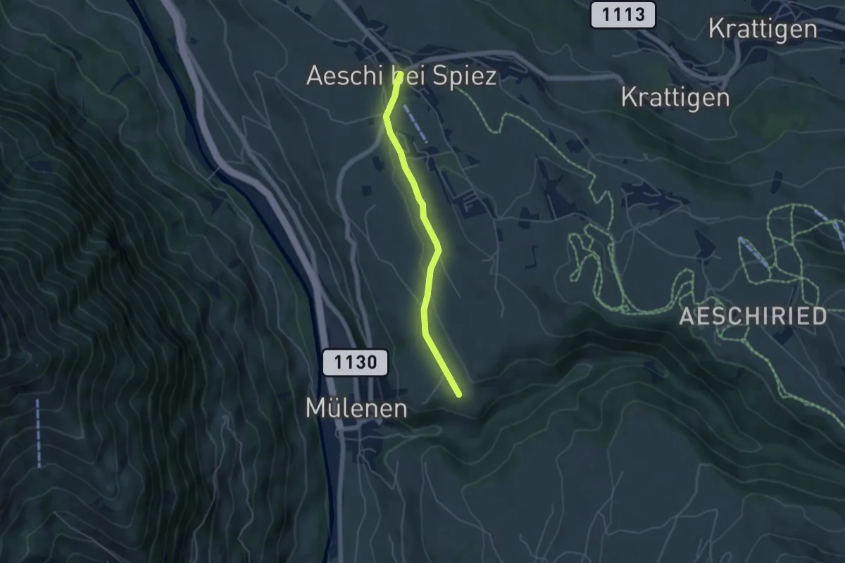
Easy · Trail
Suldhalte – Aeschi
4.3 km · ↑ 46 m · 1 h 6 min · 4 km away
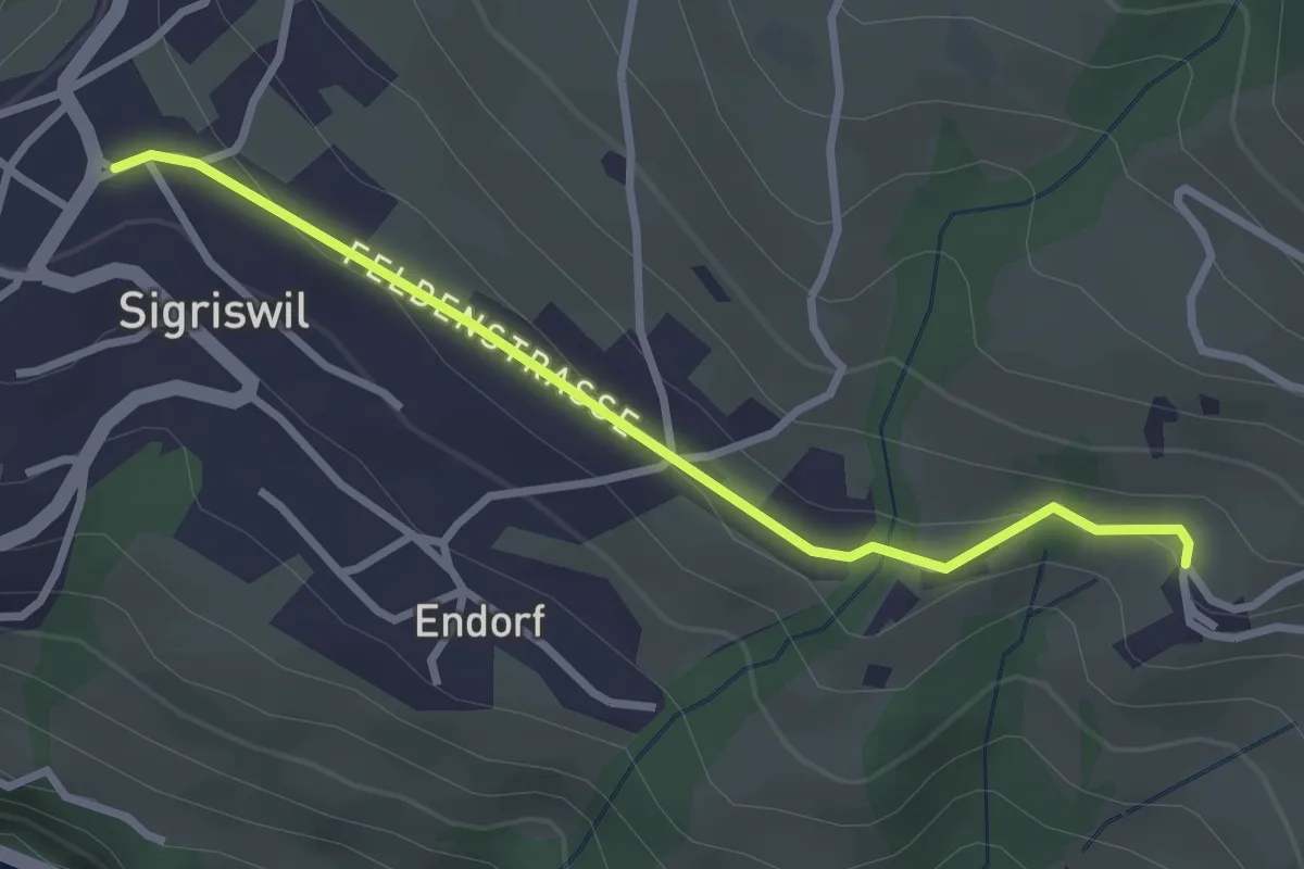
Easy · Trail
Sigriswil / Gewölb – Wiler
2.9 km · ↑ 66 m · 49 min · 4 km away
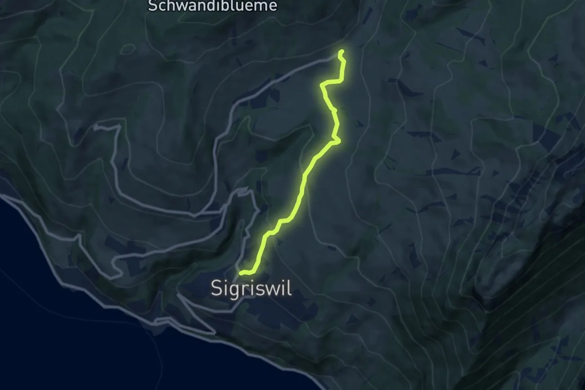
Medium · Trail
Sigriswil / Gewölb – Schwanden / Sagi
6.6 km · ↑ 327 m · 2 h 16 min · 4 km away
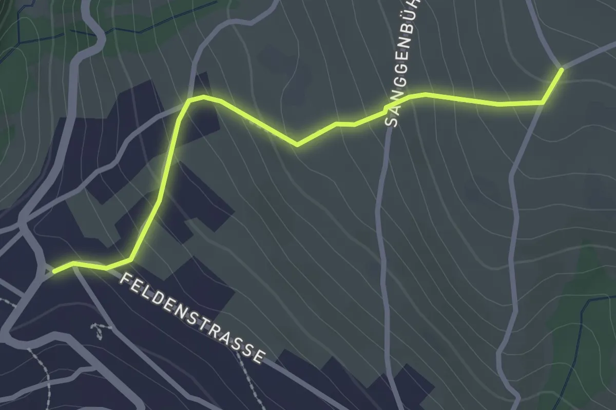
Easy · Trail
Zälg – Sigriswil / Gewölb
2.4 km · ↑ 195 m · 1 h · 4 km away
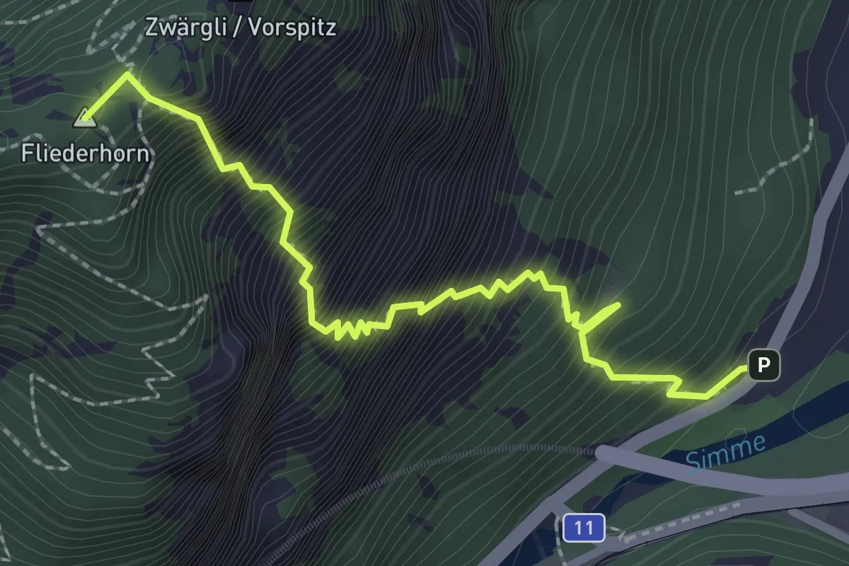
Expert · Summit
Brodhüsi – Sunnighorn
2.6 km · ↑ 694 m · 2 h 7 min · 4 km away
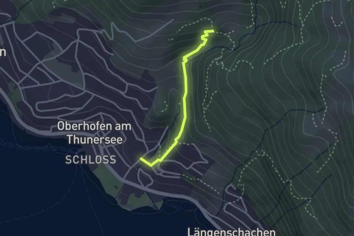
Easy · Trail
Balmflue – Oberhofen
2.3 km · ↑ 177 m · 56 min · 4 km away
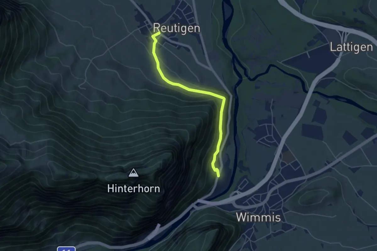
Easy · Trail
Brodhüsi – Reutigen
4.9 km · ↑ 232 m · 1 h 40 min · 4 km away
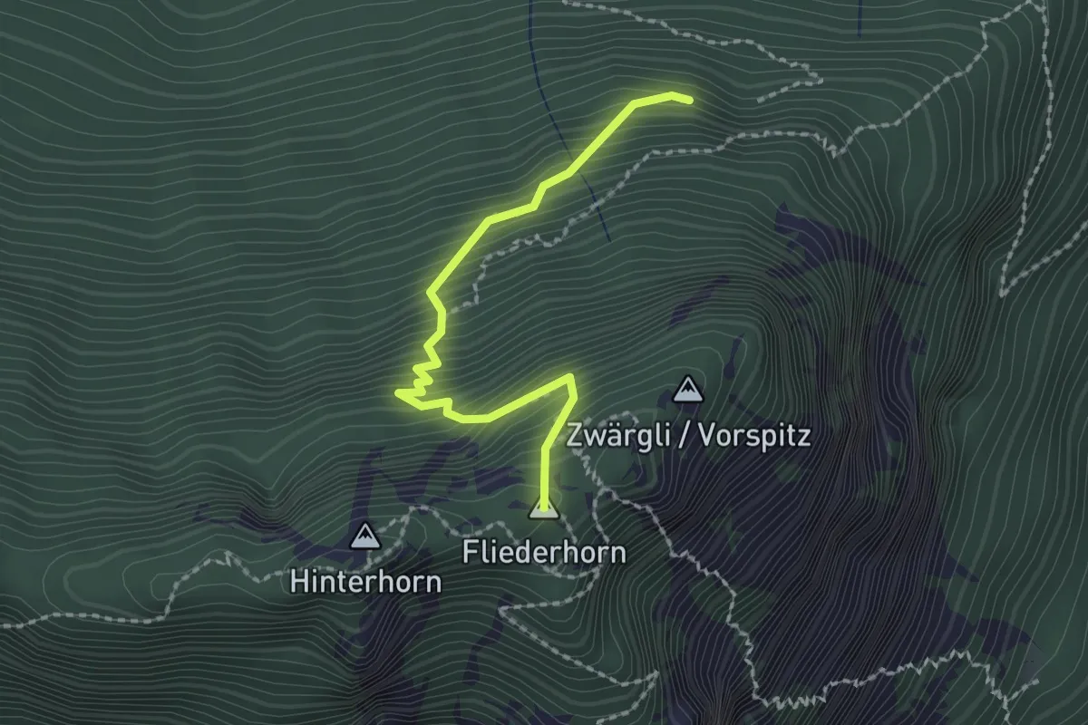
Medium · Summit
Schattigwald – Sunnighorn
2.0 km · ↑ 354 m · 1 h 14 min · 4 km away
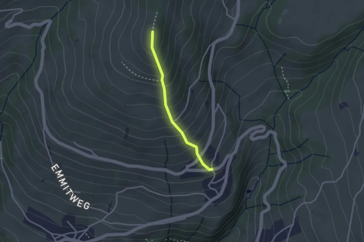
Easy · Trail
Margel – Tschingel
2.1 km · ↑ 261 m · 1 h 4 min · 4 km away
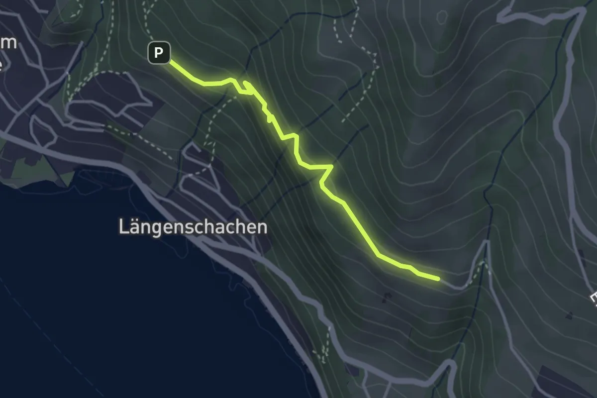
Easy · Trail
Blooch – Erizbüel
3.1 km · ↑ 206 m · 1 h 10 min · 4 km away
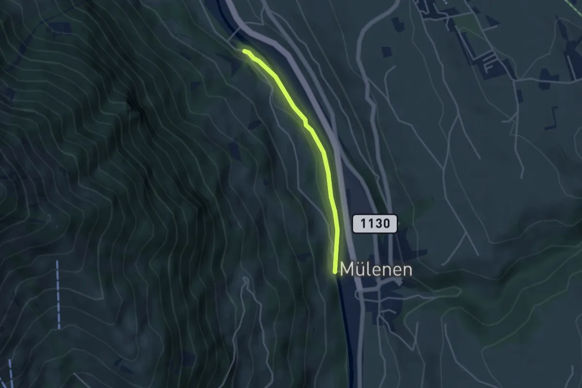
Easy · Trail
Mülenen – Heustrich
3.1 km · ↑ 9 m · 45 min · 4 km away
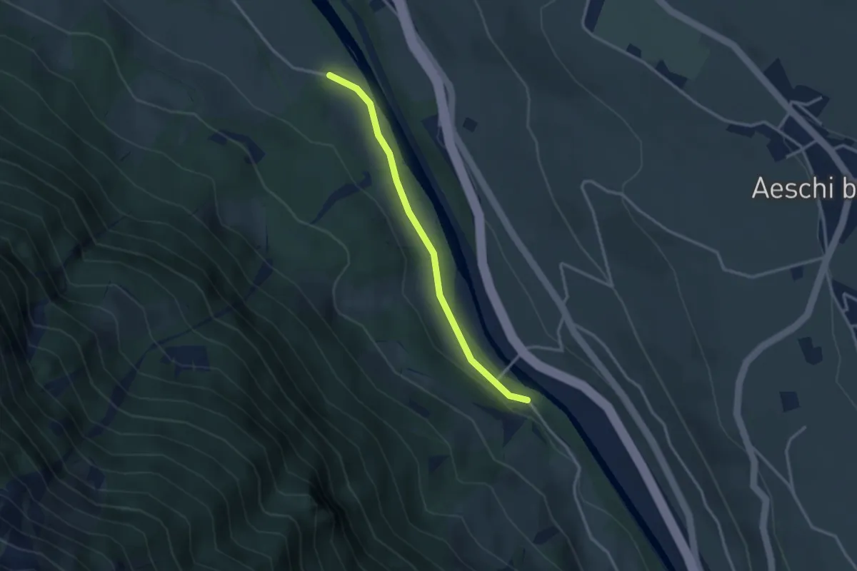
Easy · Trail
Heustrich – Rossweid
2.7 km · ↑ 38 m · 43 min · 4 km away
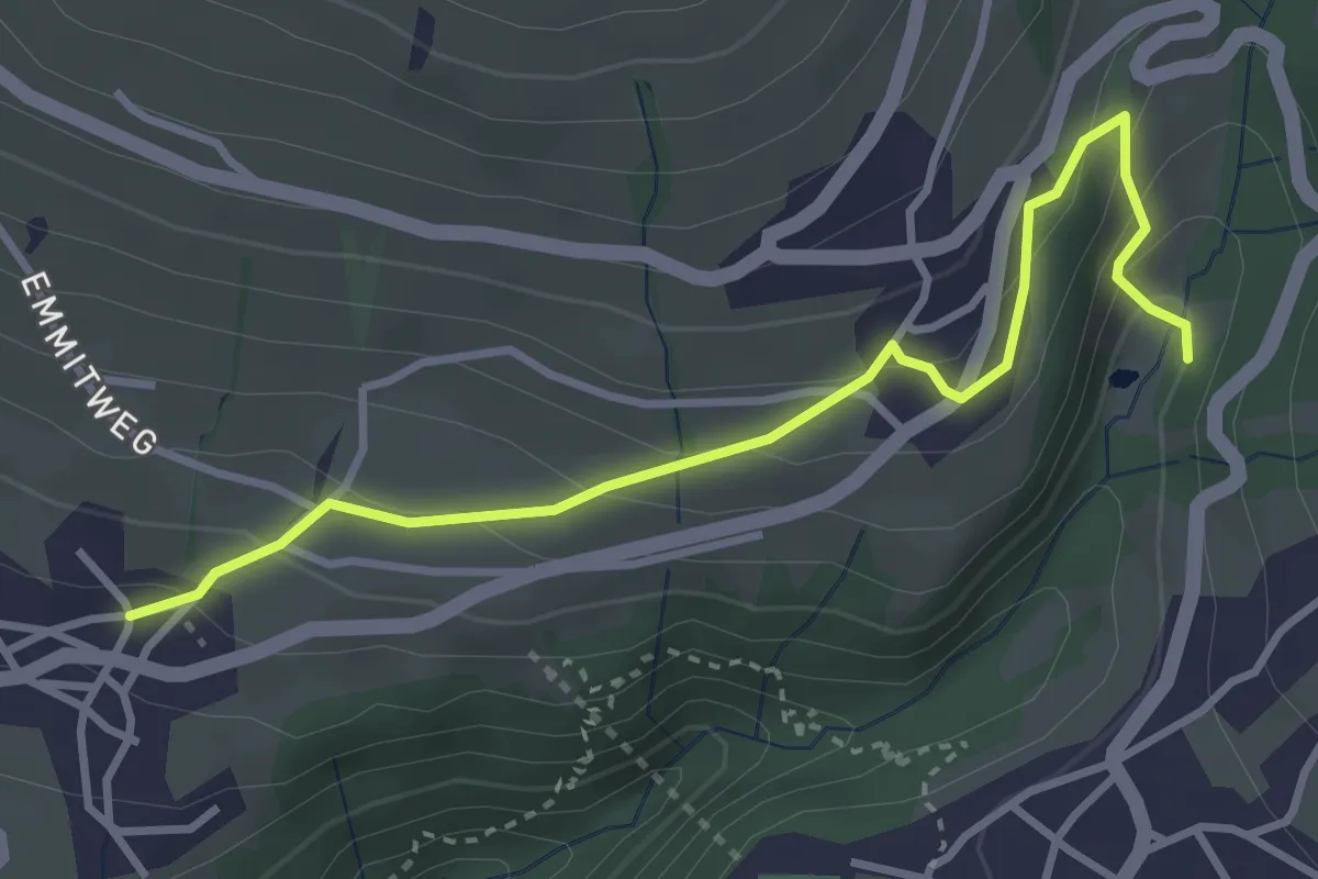
Easy · Trail
Grabemüli – Aeschlen
3.6 km · ↑ 216 m · 1 h 19 min · 4 km away
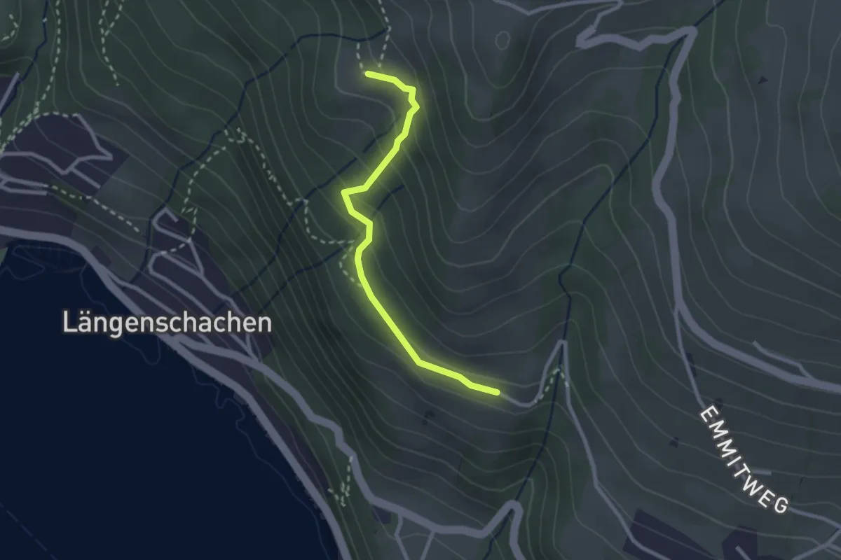
Easy · Trail
Chieni – Erizbüel
2.4 km · ↑ 167 m · 56 min · 4 km away
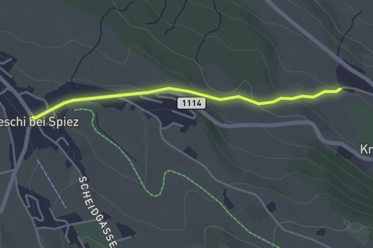
Easy · Trail
Aeschi – Stuhlegg
3.0 km · ↑ 104 m · 57 min · 5 km away