Trails near St. Moritz
171 hikes starting within 15 km, nearest first.
Nearest first, page 4 of 4
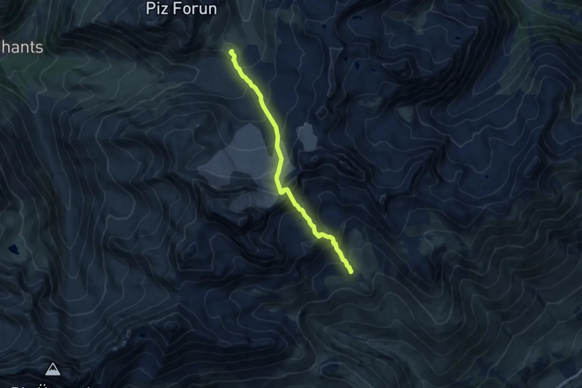
Expert · Cabin
Chamanna d'Es-cha – Chamanna digl Kesch
9.6 km · ↑ 840 m · 4 h 6 min · 14 km away
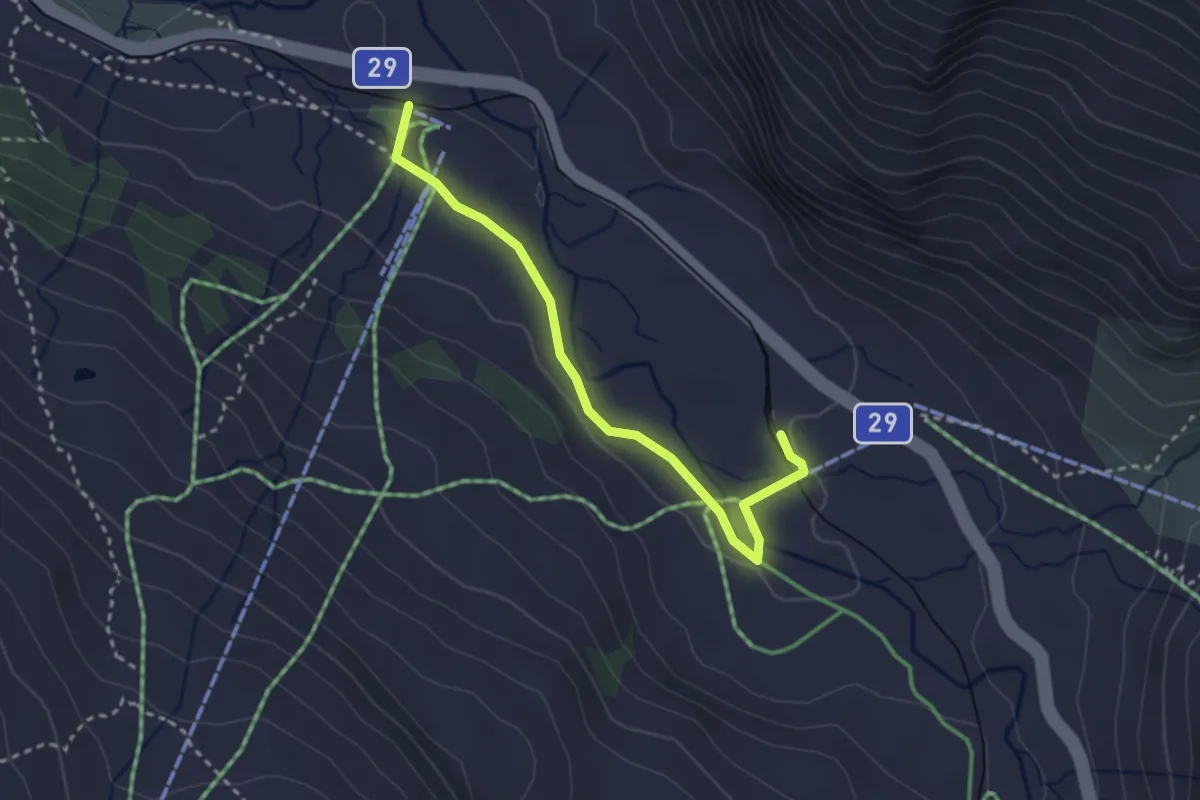
Easy · Trail
Bernina Lagalb-Talstation Diavolezza
2.9 km · ↑ 65 m · 50 min · 14 km away
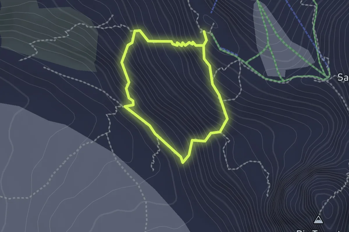
Expert · Cabin
Glacier Experience Trail
1.5 km · ↑ 196 m · 49 min · 14 km away
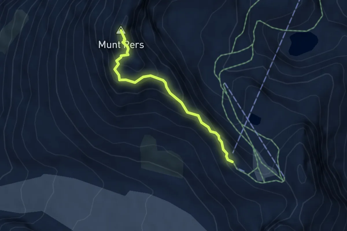
Medium · Summit
Diavolezza – Munt Pers
3.7 km · ↑ 262 m · 1 h 27 min · 14 km away
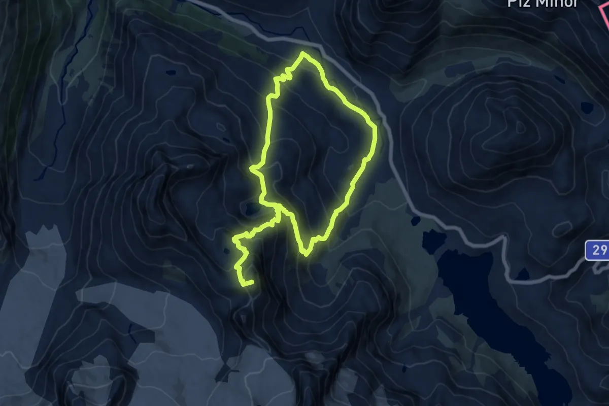
Demanding · Summit
Bernina Diavolezza – Diavolezza
20.6 km · ↑ 1571 m · 8 h 17 min · 14 km away
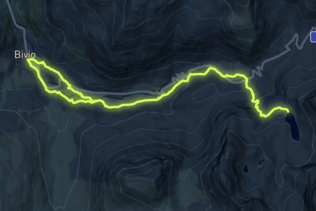
Medium · Trail
Bivio – Leg Grevasalvas
17.1 km · ↑ 786 m · 5 h 45 min · 14 km away
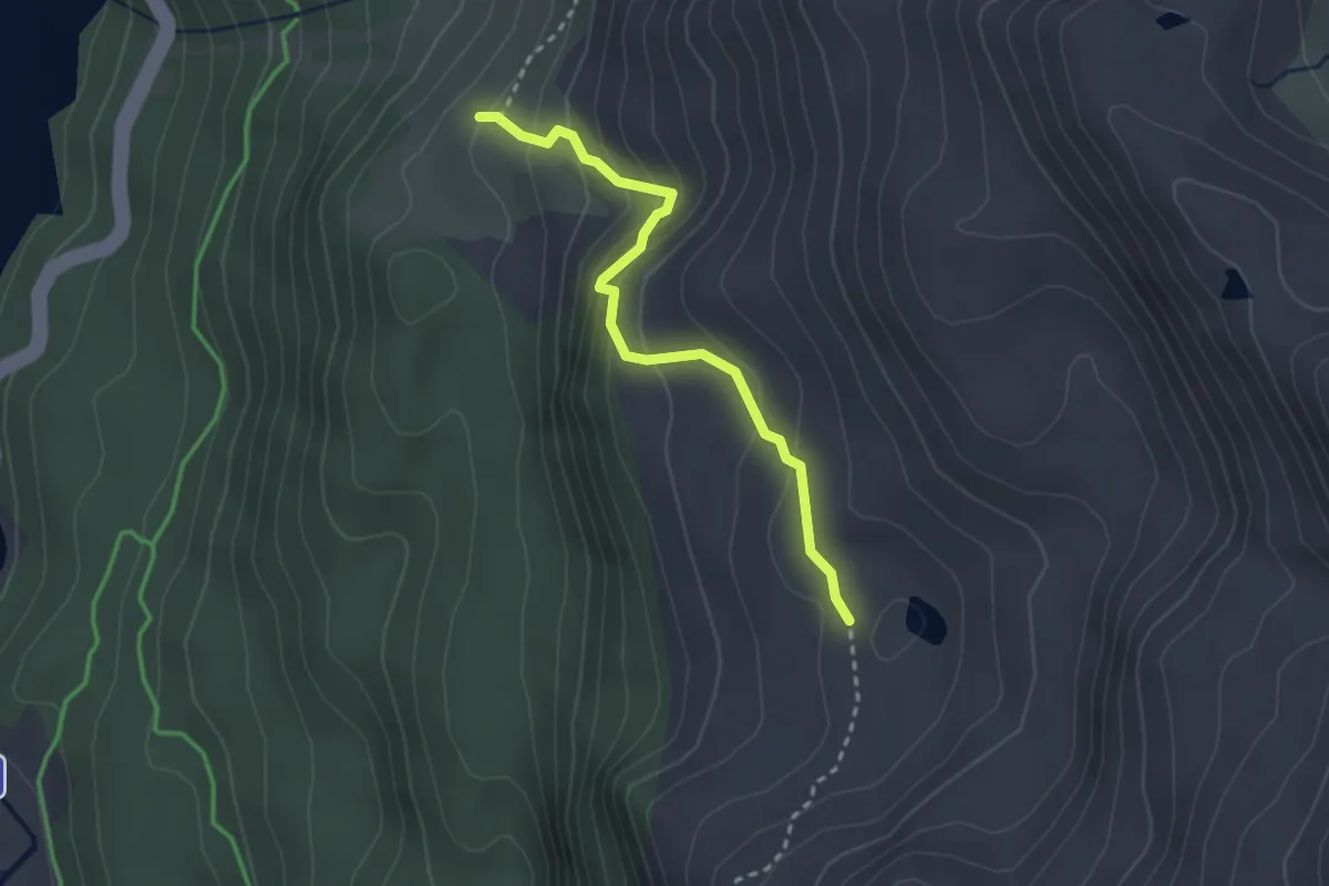
Medium · Cabin
Murtér - Alp Natons
2.7 km · ↑ 246 m · 1 h 10 min · 14 km away
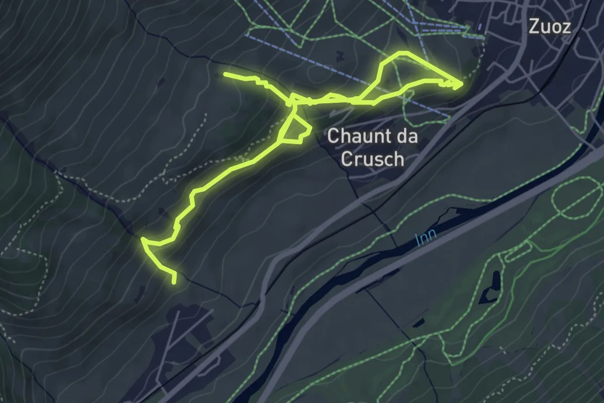
Medium · Trail
Madulain – Zuoz
7.5 km · ↑ 460 m · 2 h 45 min · 14 km away
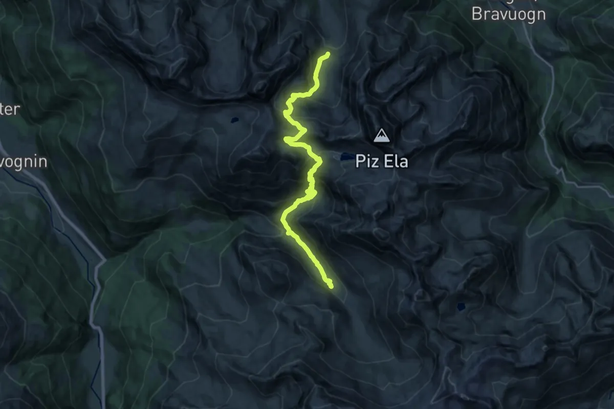
Demanding · Cabin
Chamonas d'Ela CAS – Alp d'Err
18.4 km · ↑ 1388 m · 7 h 21 min · 14 km away
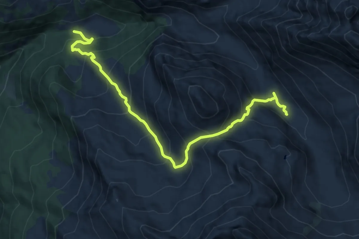
Demanding · Trail
Pensa – Alp d'Err
12.9 km · ↑ 1063 m · 5 h 21 min · 14 km away
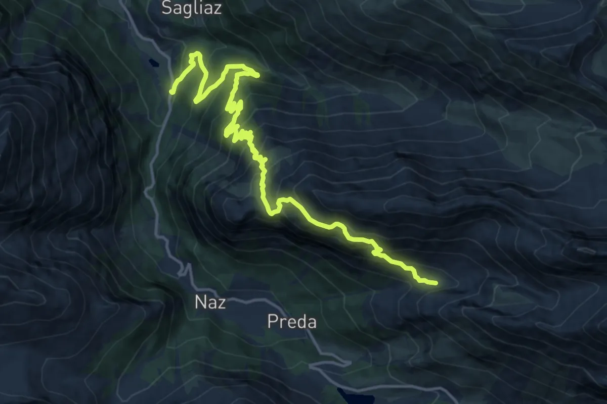
Demanding · Cabin
Berguns – Alp Zavretta
16.7 km · ↑ 1424 m · 7 h 1 min · 14 km away
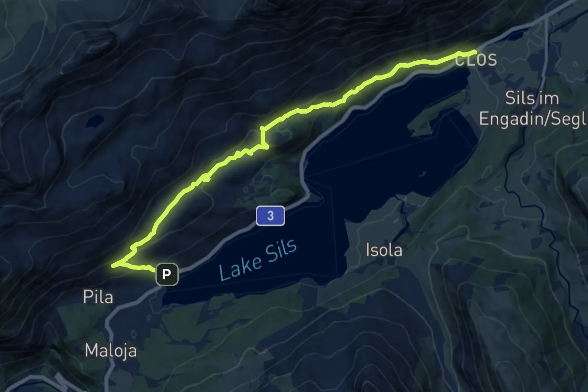
Medium · Trail
Sils/Segl Baselgia – Maloja
13.9 km · ↑ 698 m · 4 h 48 min · 14 km away
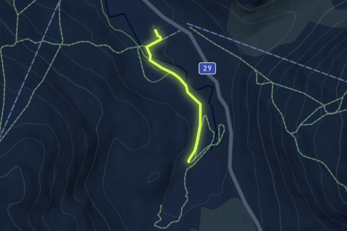
Easy · Trail
Alp da Buond Sur-Bernina Lagalb
2.7 km · ↑ 49 m · 44 min · 14 km away
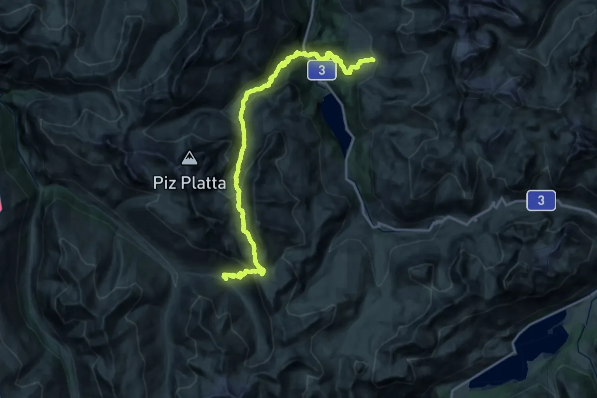
Demanding · Trail
Walserweg - Etappe 10
18.3 km · ↑ 1403 m · 7 h 32 min · 14 km away
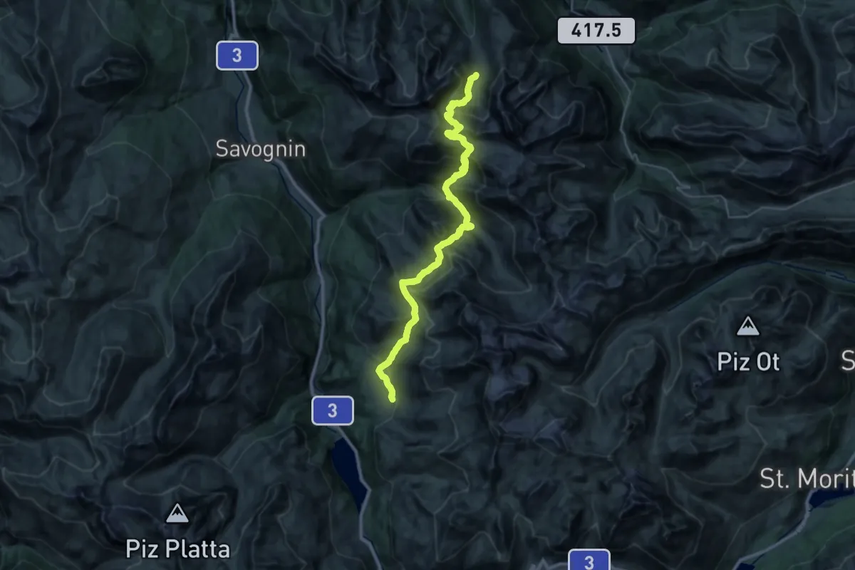
Demanding · Cabin
Walserweg - Etappe 11
16.7 km · ↑ 1312 m · 6 h 53 min · 14 km away
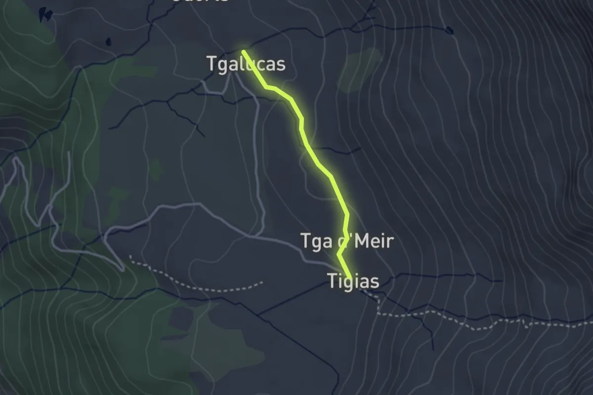
Easy · Trail
Tigias - Tgalucas
2.1 km · ↑ 52 m · 37 min · 14 km away
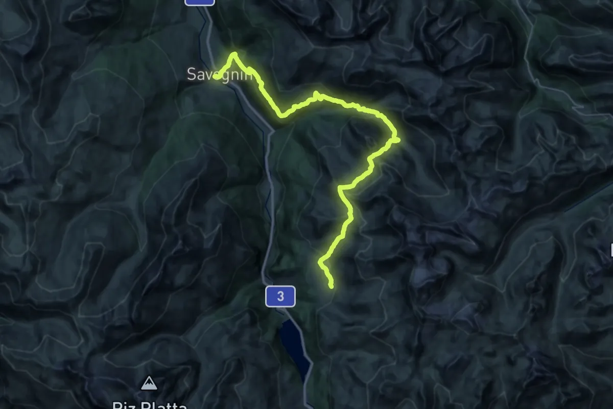
Demanding · Trail
03-Alpenpässe-Weg
19.6 km · ↑ 864 m · 7 h 10 min · 14 km away
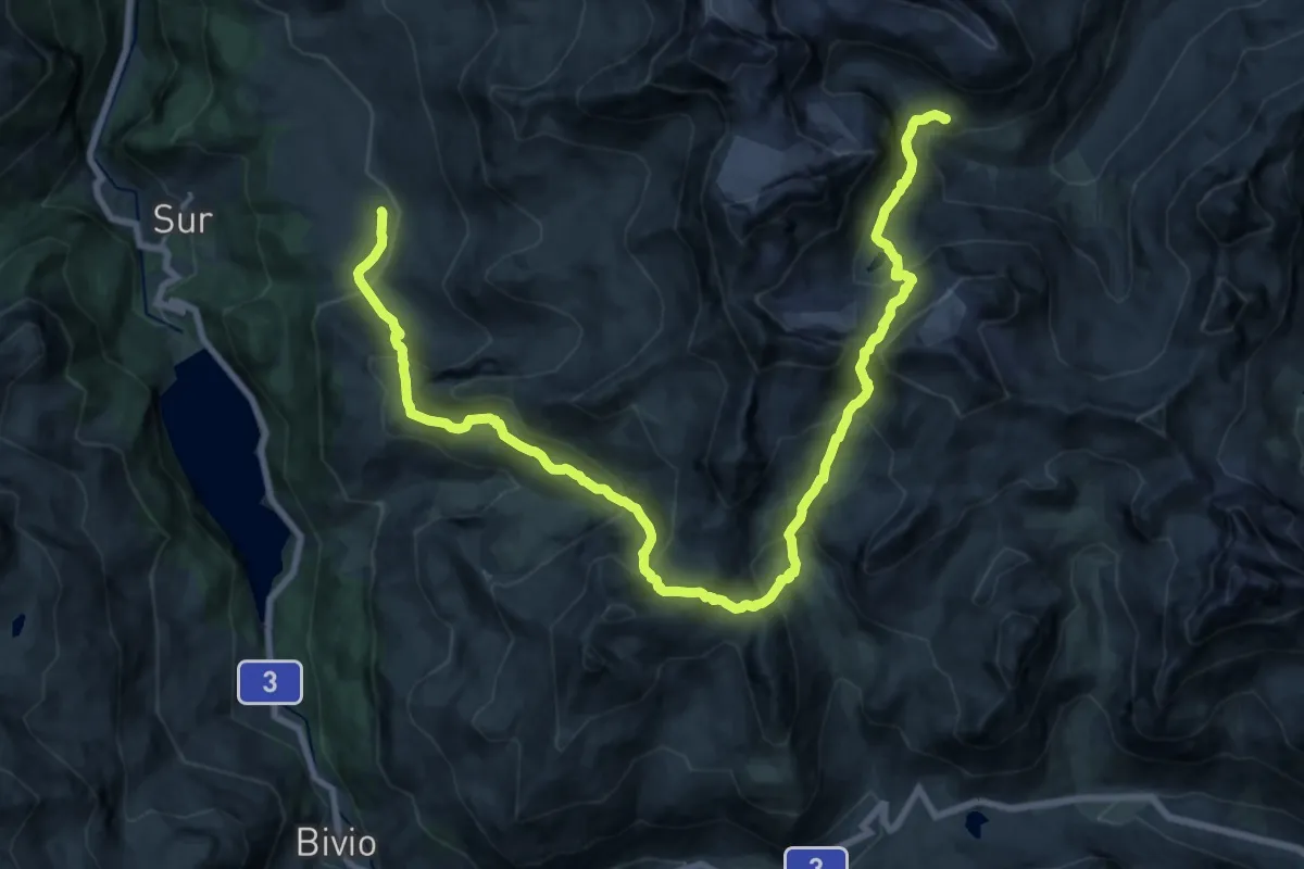
Demanding · Cabin
02-Alpenpässe-Weg
12.6 km · ↑ 1268 m · 5 h 35 min · 14 km away
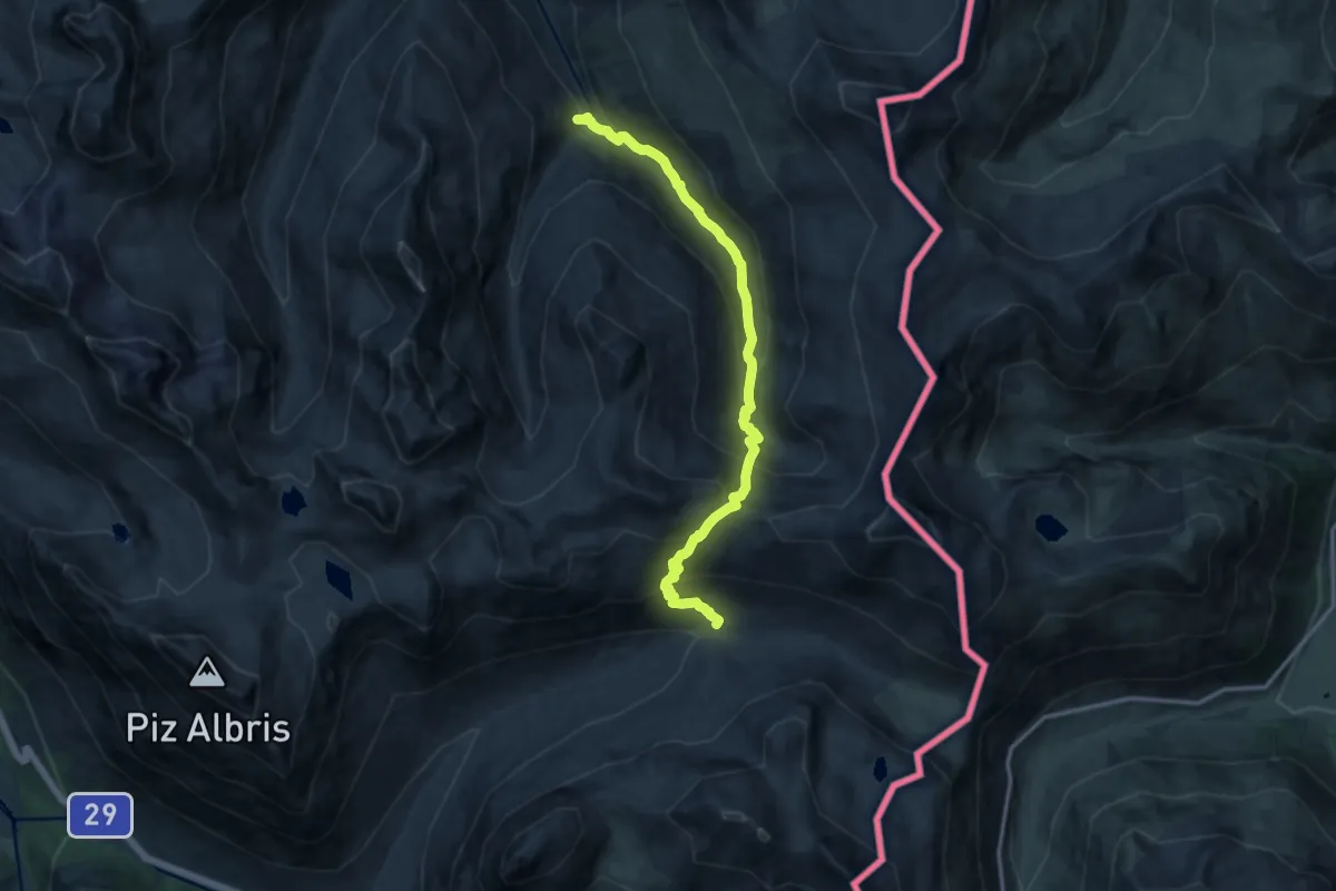
Demanding · Trail
Alp Pruenela – Alp la Stretta
13.2 km · ↑ 1008 m · 5 h 18 min · 14 km away
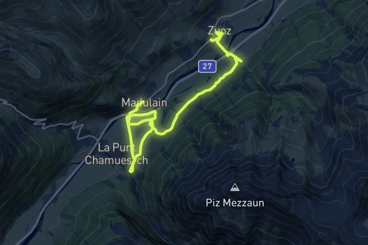
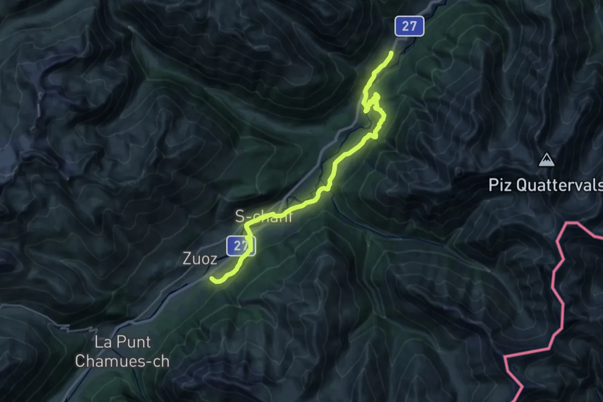
Demanding · Trail
Chamues-ch – Zuoz
18.9 km · ↑ 388 m · 5 h 18 min · 15 km away
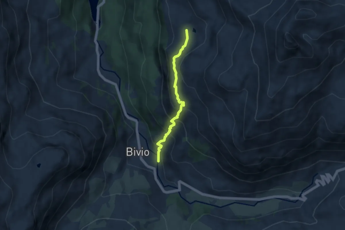
Demanding · Trail
Resgia – Brail
24.4 km · ↑ 624 m · 7 h 7 min · 15 km away
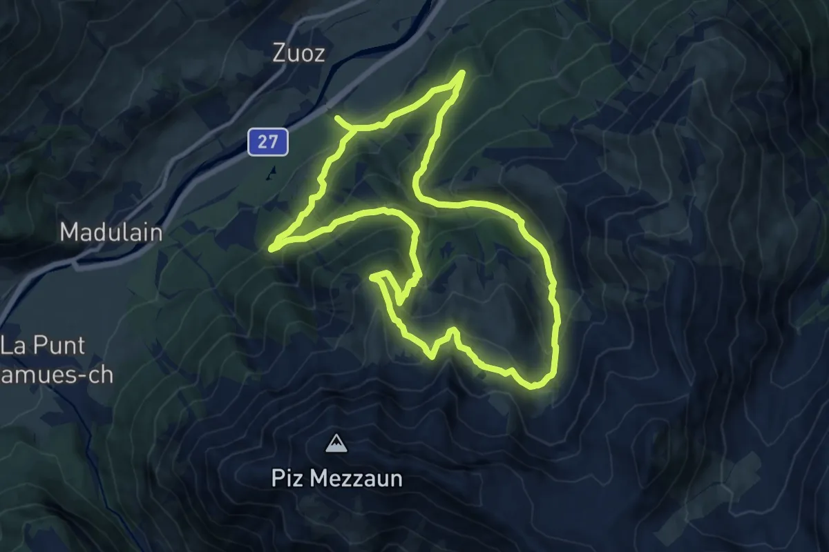
Medium · Trail
Bivio Crap Milan - Murter
5.3 km · ↑ 441 m · 2 h 12 min · 15 km away
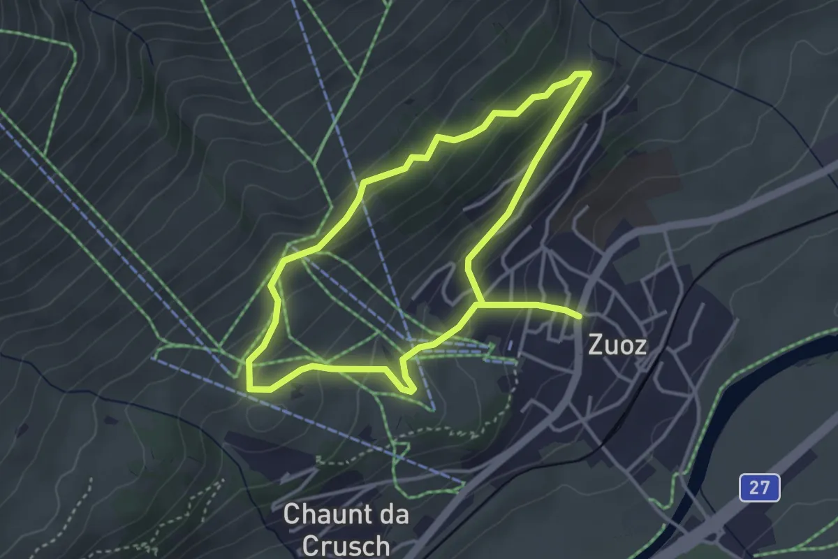
Demanding · Trail
Zuoz – Lei da Prestinaun
11.7 km · ↑ 839 m · 4 h 45 min · 15 km away
Easy · Trail
Zuoz – Cuort San Gian
3.3 km · ↑ 168 m · 1 h 12 min · 15 km away
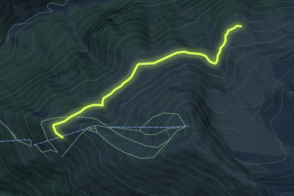
Medium · Trail
Alp Darlux – Alp Muotta Sur
6.2 km · ↑ 243 m · 1 h 59 min · 15 km away
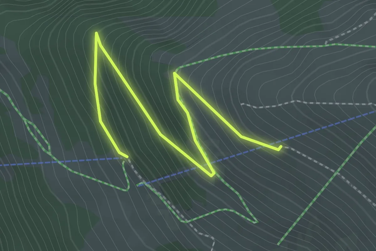
Easy · Trail
Darlux Bergstation – Alp Darlux
2.7 km · ↑ 195 m · 1 h 4 min · 15 km away
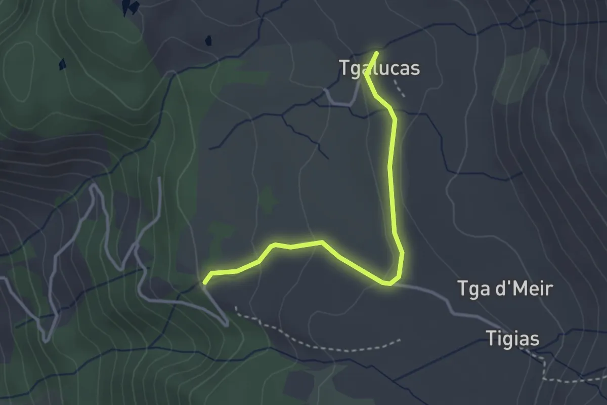
Easy · Trail
Tgalucas - Parkplatz Vanstag
2.9 km · ↑ 73 m · 51 min · 15 km away