Trails near Steffisburg
412 hikes starting within 15 km, nearest first.
Nearest first, page 3 of 9
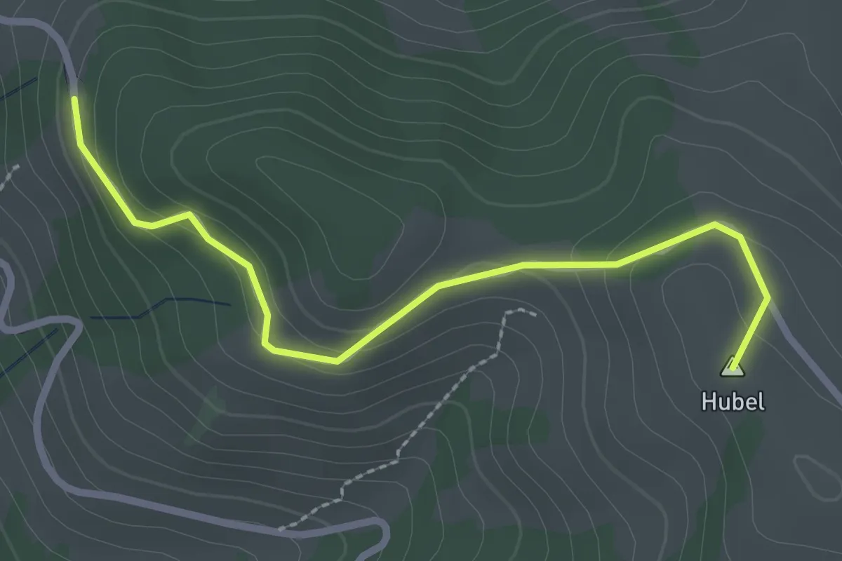
Easy · Summit
Hubel – Reust
2.5 km · ↑ 109 m · 50 min · 8 km away
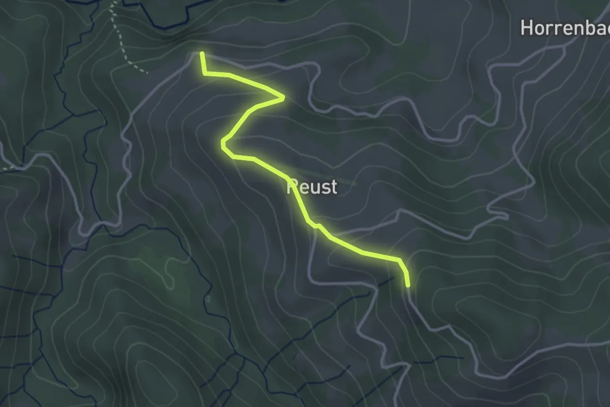
Easy · Trail
Cheistli – Reust
3.0 km · ↑ 191 m · 1 h 7 min · 8 km away
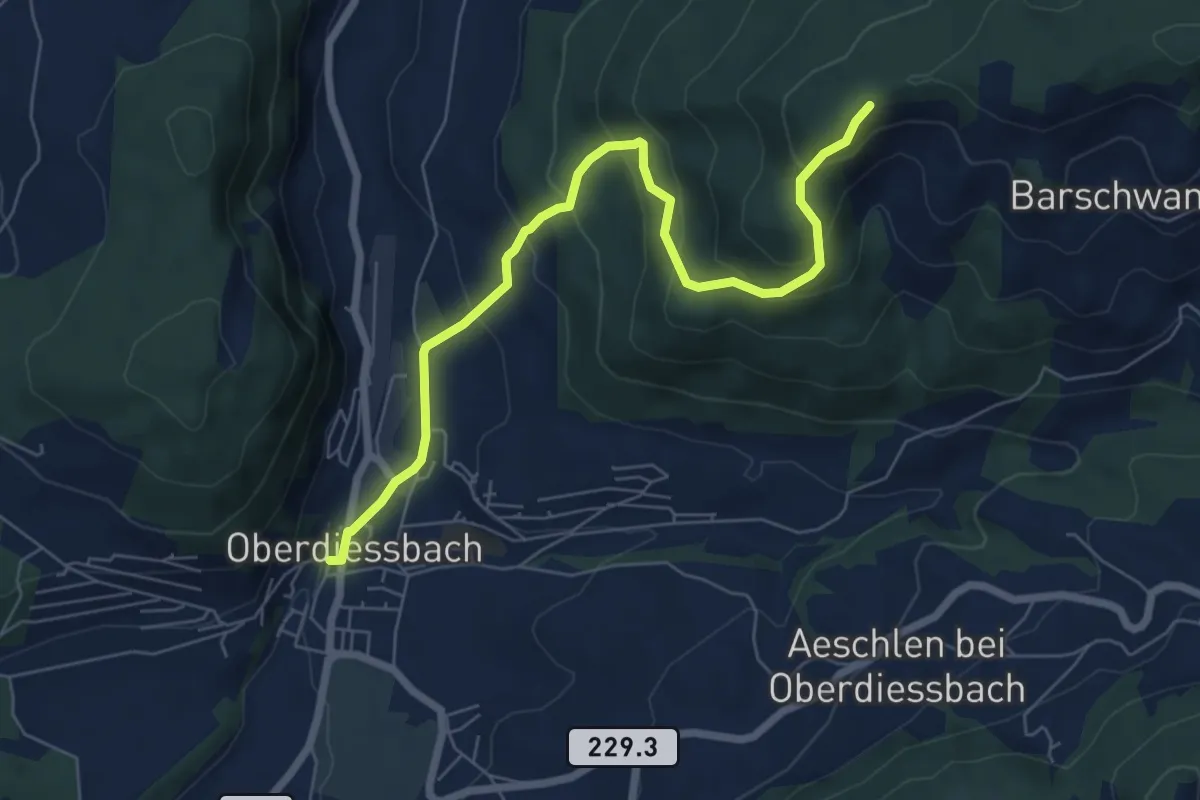
Medium · Trail
Oberdiessbach – Güggel
7.1 km · ↑ 470 m · 2 h 42 min · 8 km away
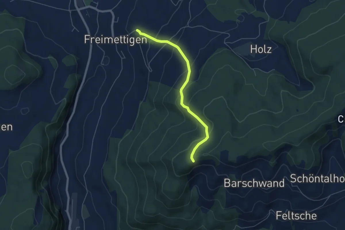
Easy · Trail
Güggel – Freimettigen
4.9 km · ↑ 314 m · 1 h 50 min · 8 km away
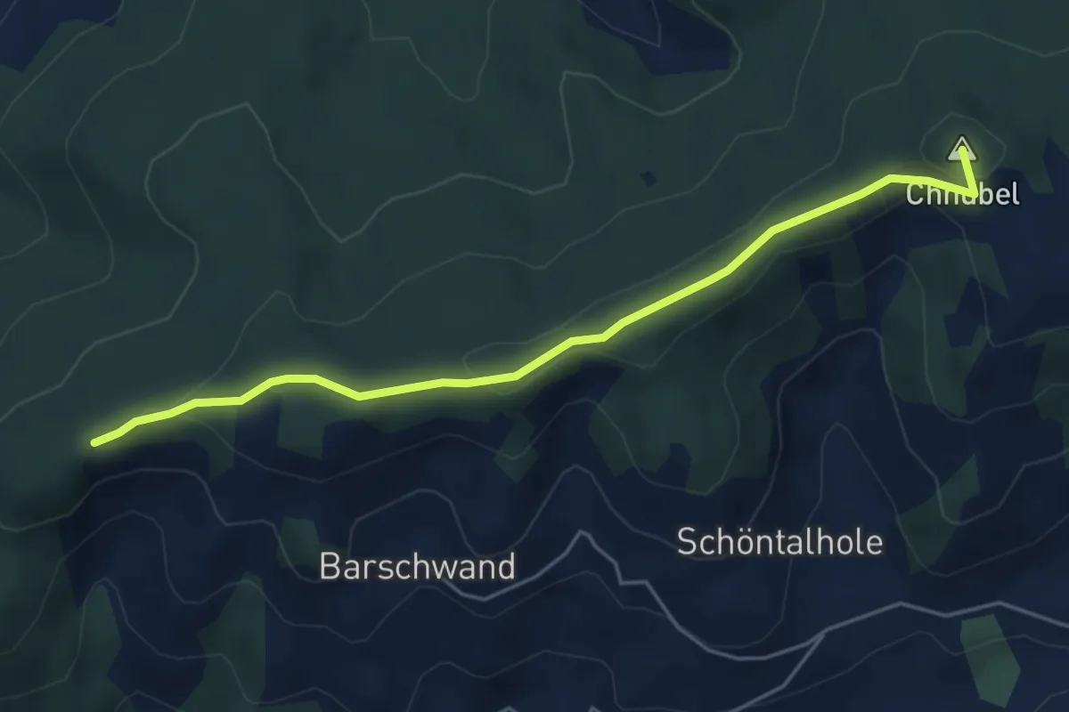
Easy · Summit
Güggel – Äbersold
5.0 km · ↑ 147 m · 1 h 30 min · 8 km away
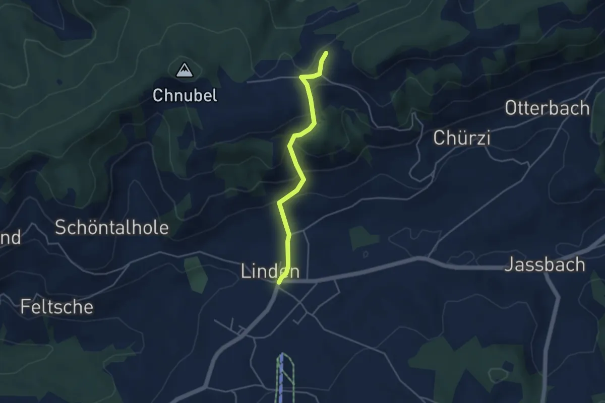
Easy · Trail
Äbersold – Linden
3.5 km · ↑ 188 m · 1 h 14 min · 8 km away
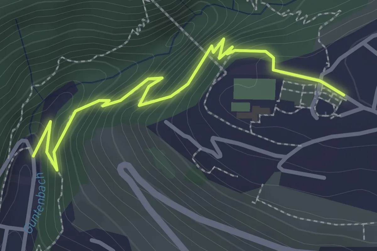
Easy · Trail
Gunten – Sigriswil
2.7 km · ↑ 186 m · 1 h 3 min · 9 km away
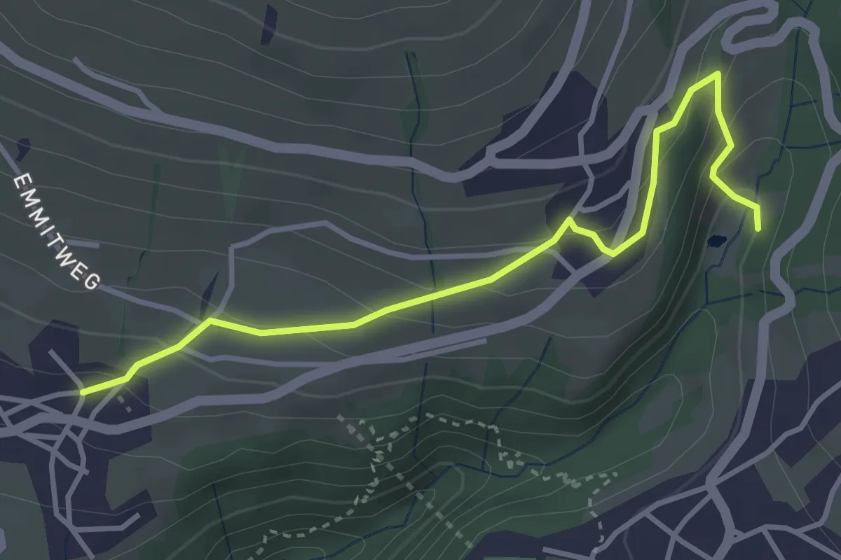
Easy · Trail
Grabemüli – Aeschlen
3.6 km · ↑ 216 m · 1 h 19 min · 9 km away
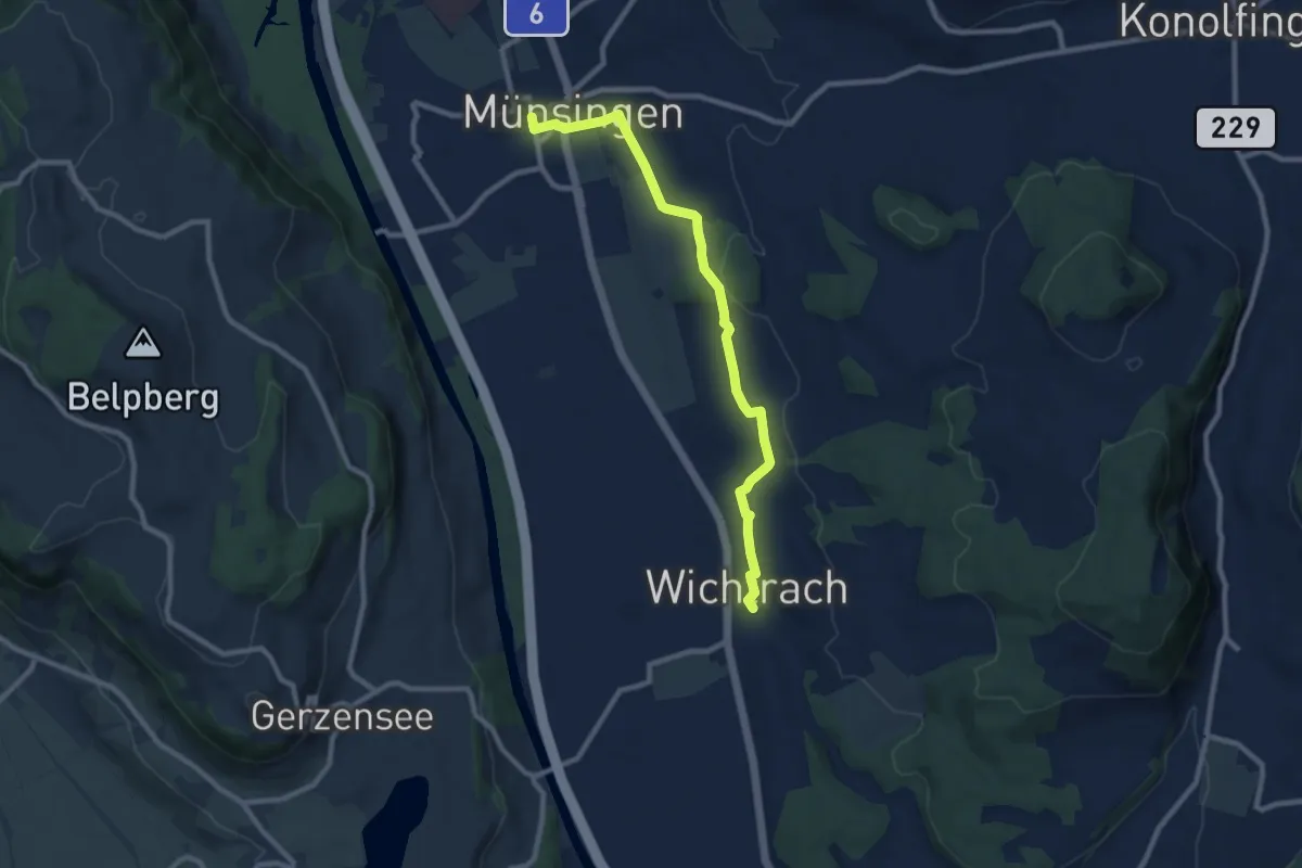
Medium · Trail
Münsingen – Wichtrach
9.1 km · ↑ 130 m · 2 h 26 min · 9 km away
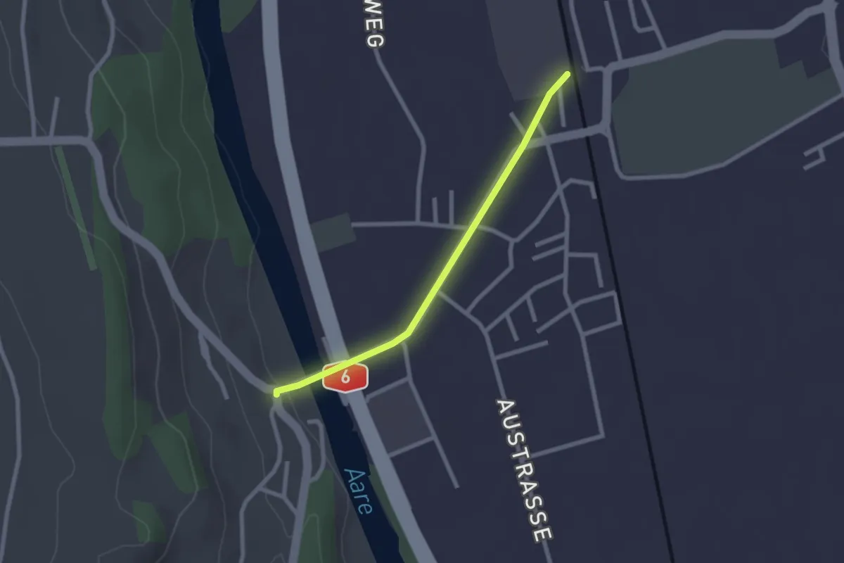
Easy · Trail
Thalgutbrücke - Wichtrach
2.1 km · ↑ 12 m · 31 min · 9 km away
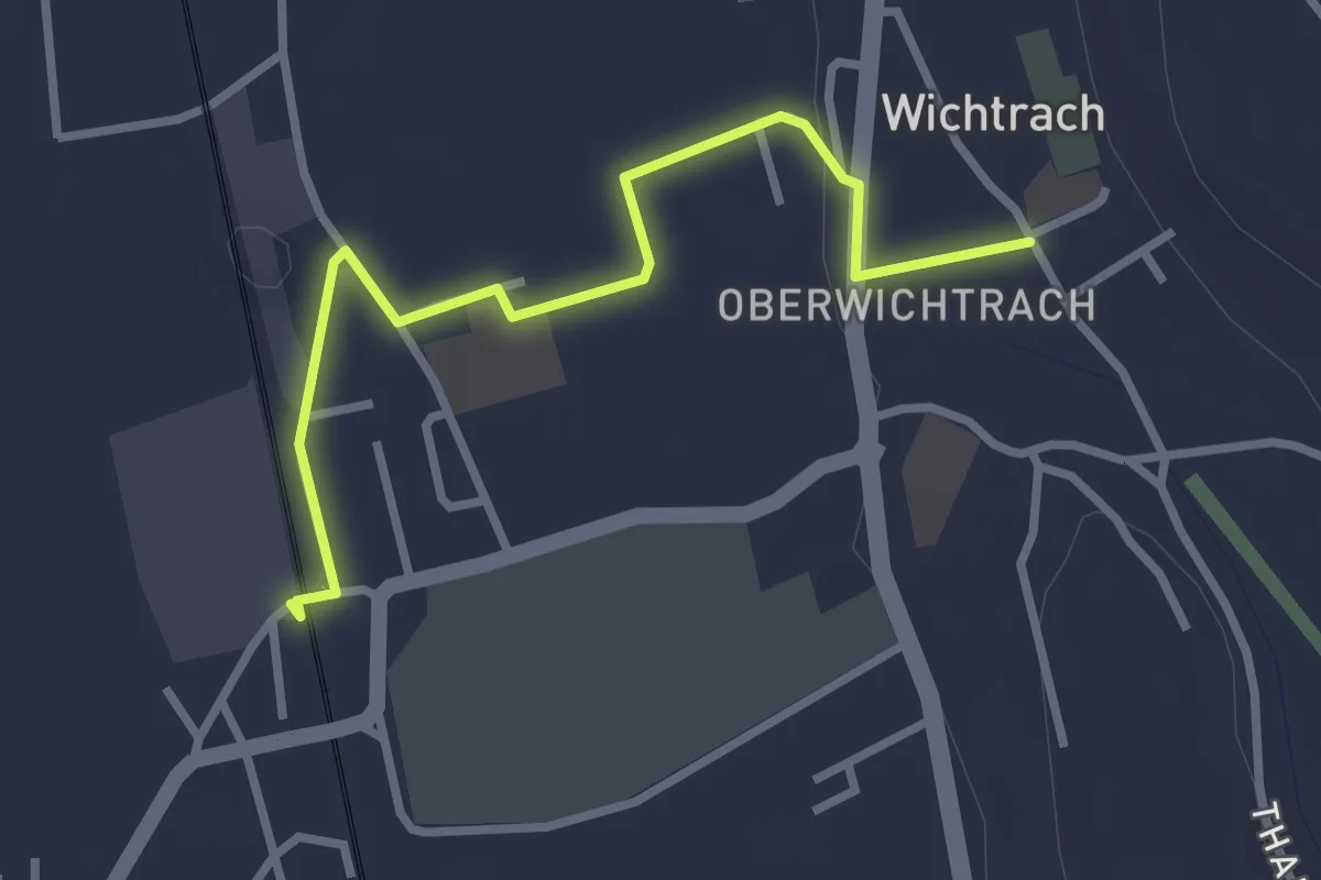
Easy · Trail
Wichtrach Bahnhof – Wichtrach/Kirche
3.0 km · ↑ 19 m · 45 min · 9 km away
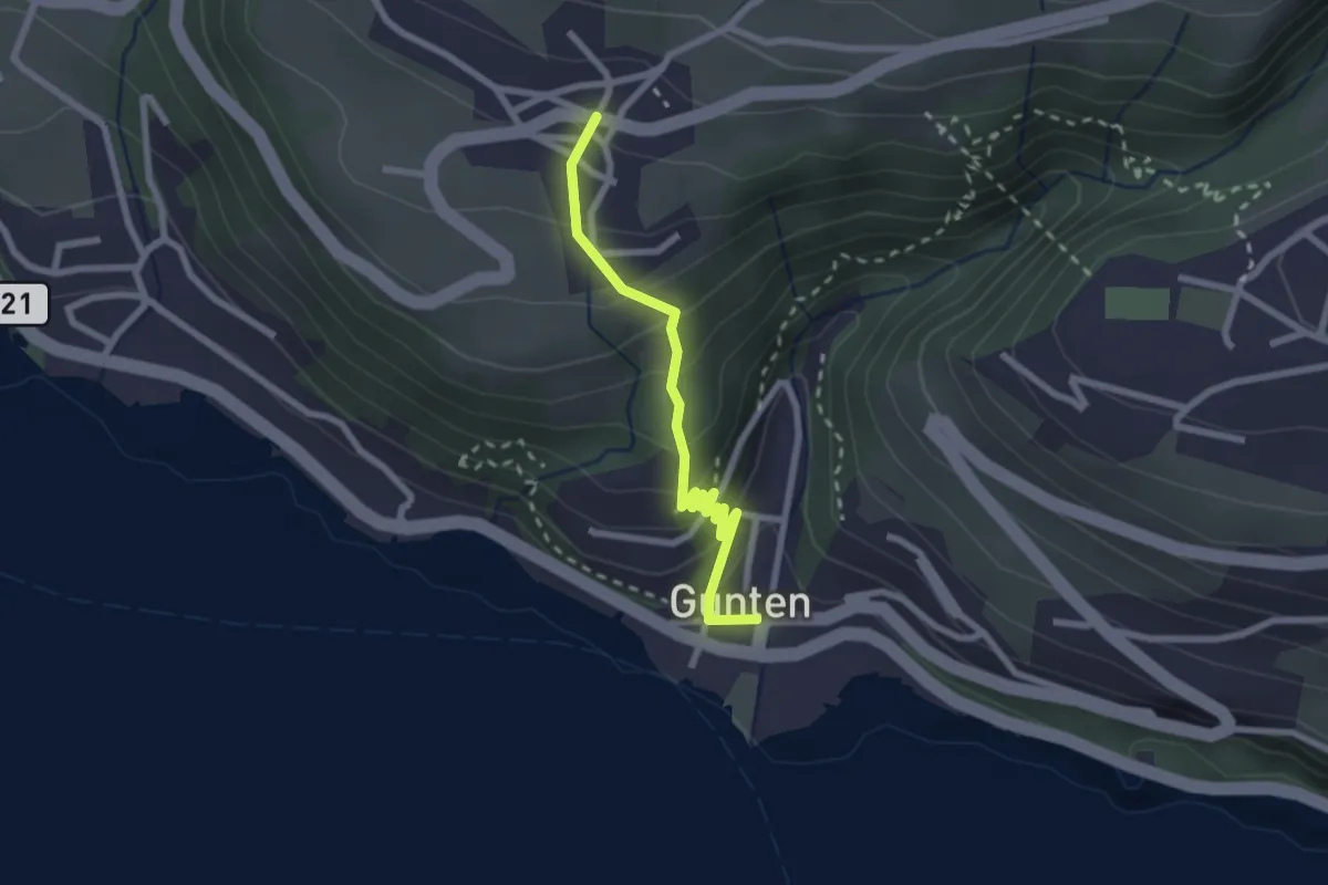
Easy · Trail
Gunten – Aeschlen
2.3 km · ↑ 192 m · 58 min · 9 km away
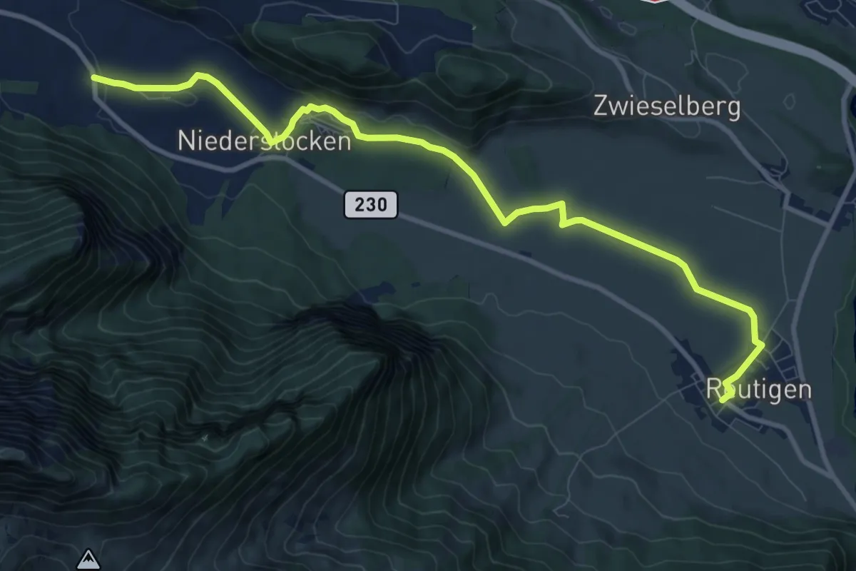
Medium · Trail
Reutigen – Niederstocken
10.9 km · ↑ 73 m · 2 h 43 min · 9 km away
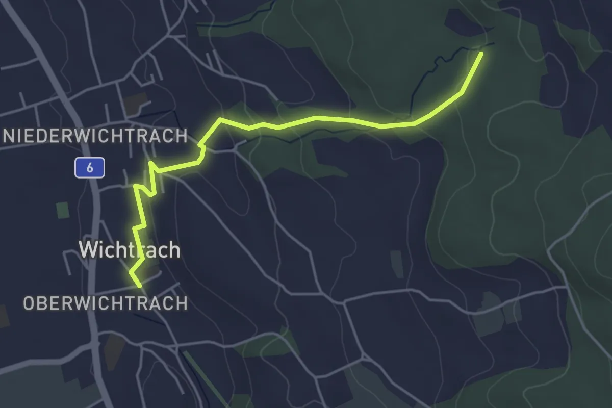
Easy · Trail
Wichtrach – Rotebüel
4.3 km · ↑ 138 m · 1 h 19 min · 9 km away
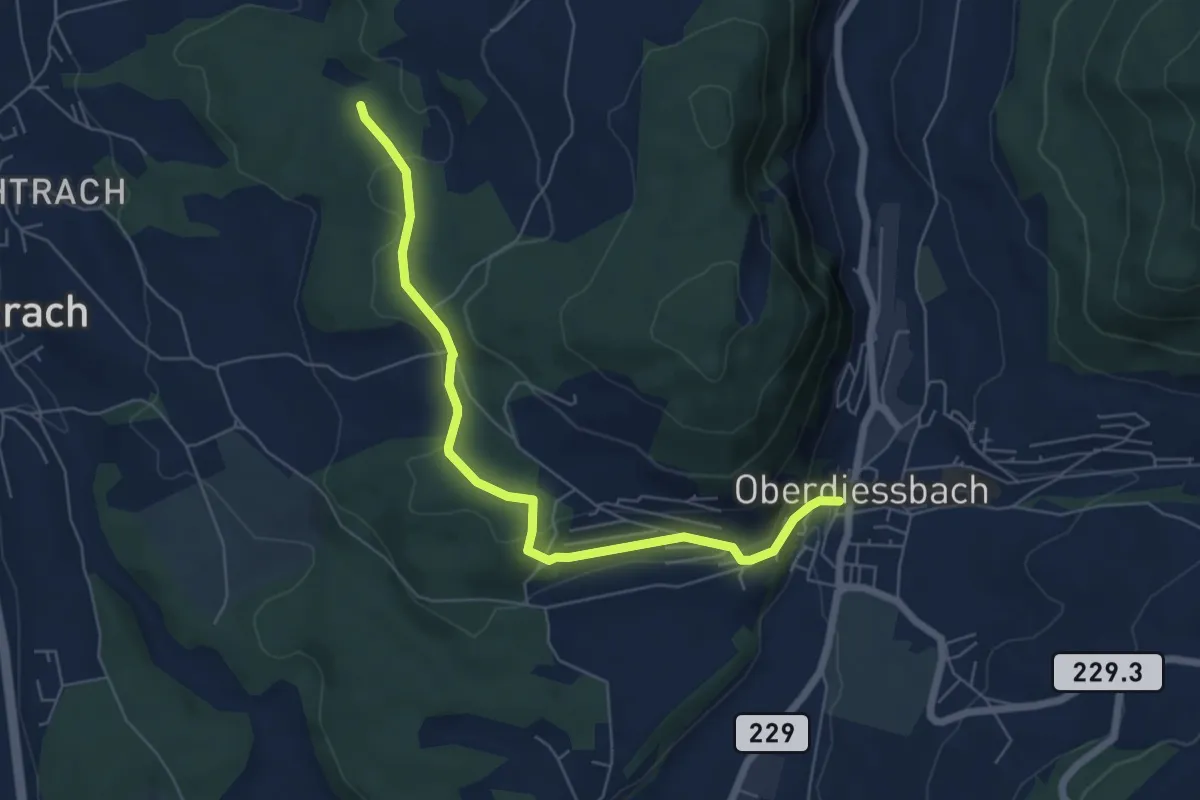
Easy · Trail
Oberdiessbach – Rotebüel
6.3 km · ↑ 169 m · 1 h 52 min · 9 km away
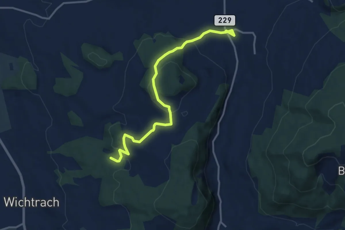
Medium · Trail
Stalden i. E. – Rotebüel
9.4 km · ↑ 302 m · 2 h 52 min · 9 km away
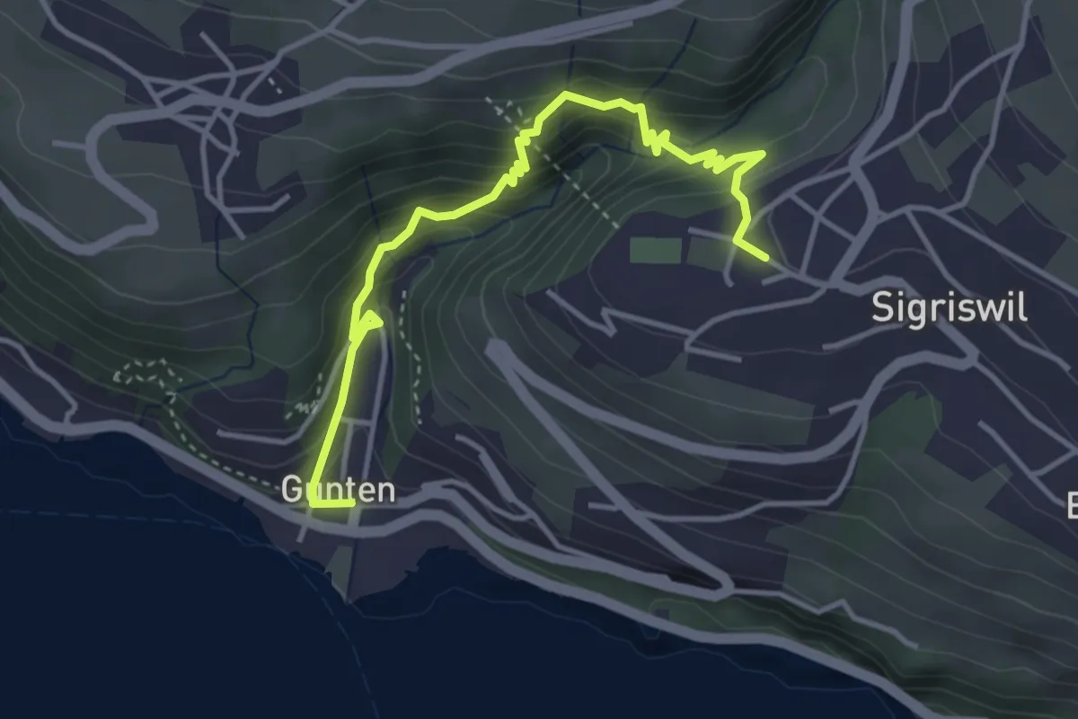
Easy · Trail
Gunten – Sigriswil
4.2 km · ↑ 303 m · 1 h 38 min · 9 km away
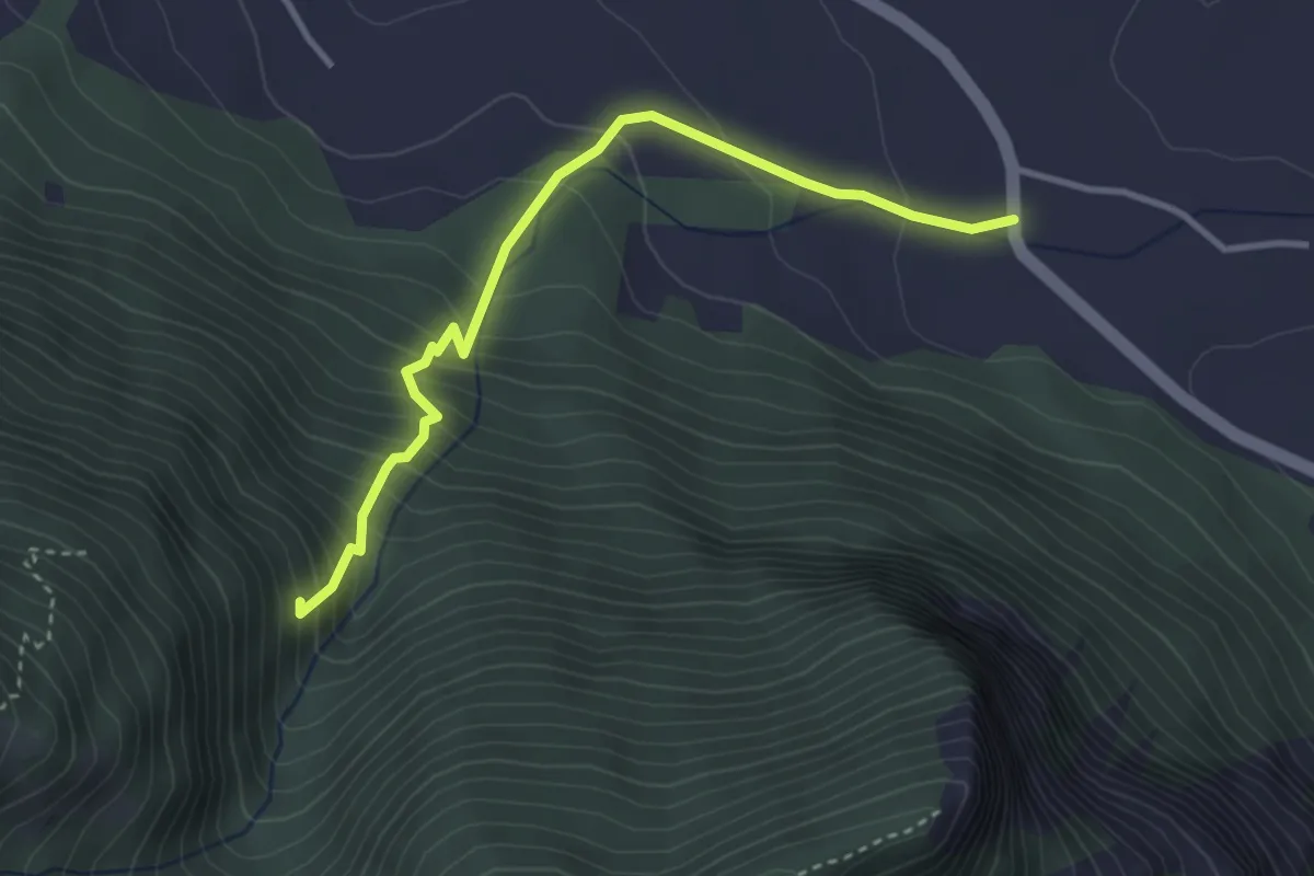
Medium · Trail
Niederstocken – Schwand
3.4 km · ↑ 382 m · 1 h 38 min · 9 km away
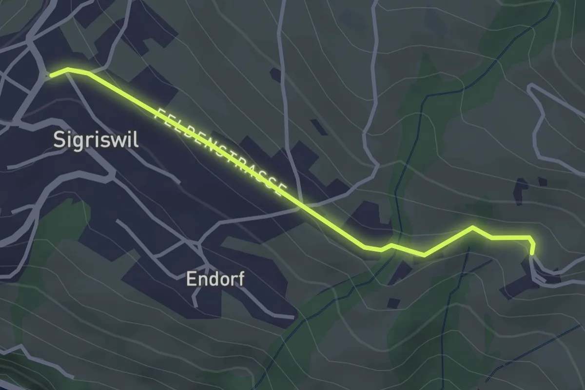
Easy · Trail
Sigriswil / Gewölb – Wiler
2.9 km · ↑ 66 m · 49 min · 9 km away
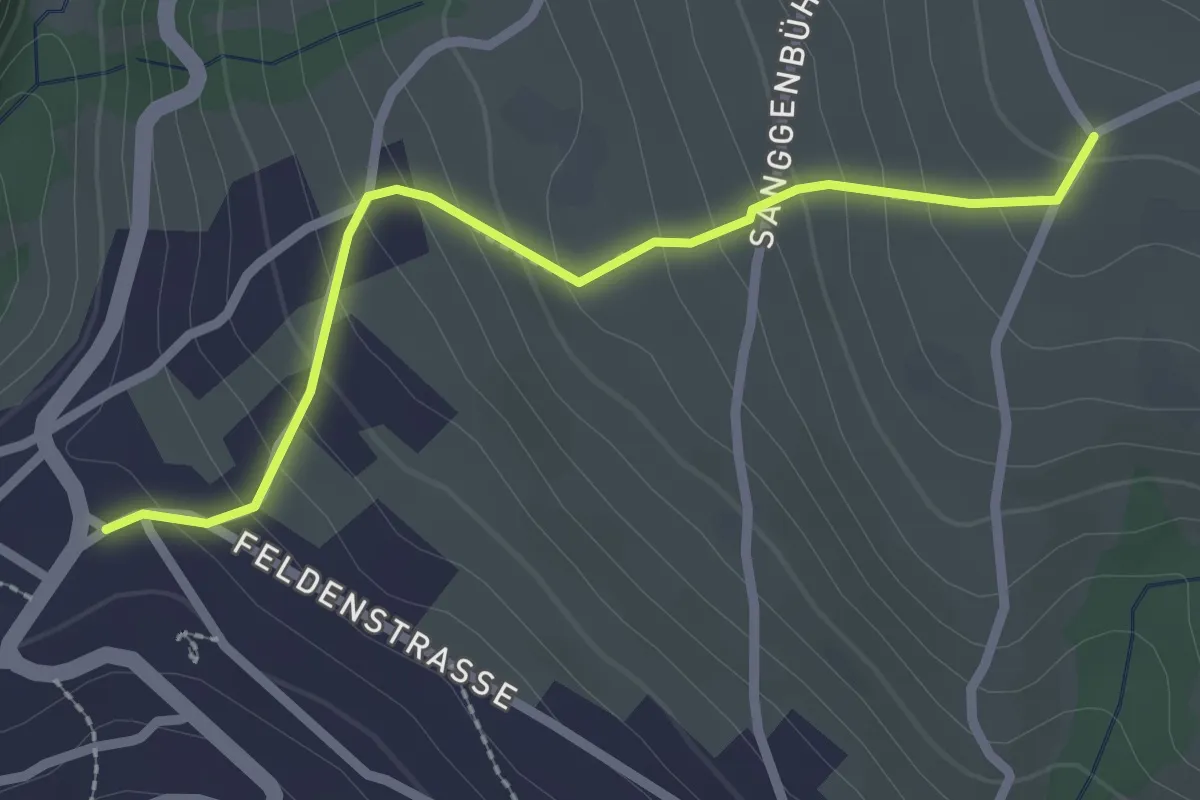
Easy · Trail
Zälg – Sigriswil / Gewölb
2.4 km · ↑ 195 m · 1 h · 9 km away
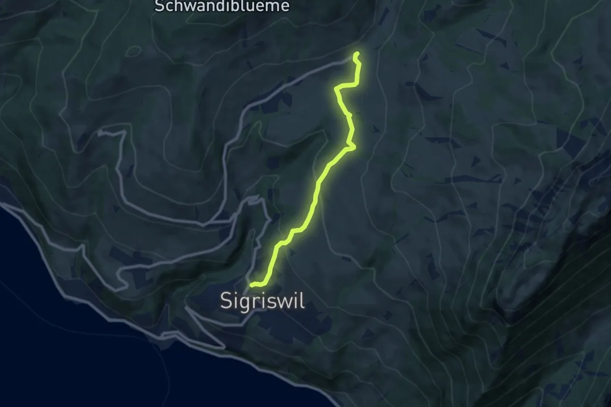
Medium · Trail
Sigriswil / Gewölb – Schwanden / Sagi
6.6 km · ↑ 327 m · 2 h 16 min · 9 km away
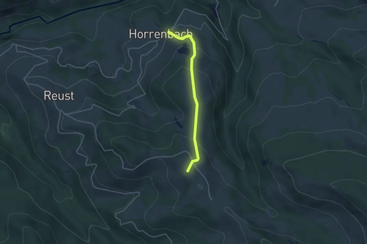
Easy · Summit
Horrenbach – Hubel
2.9 km · ↑ 197 m · 1 h 7 min · 9 km away
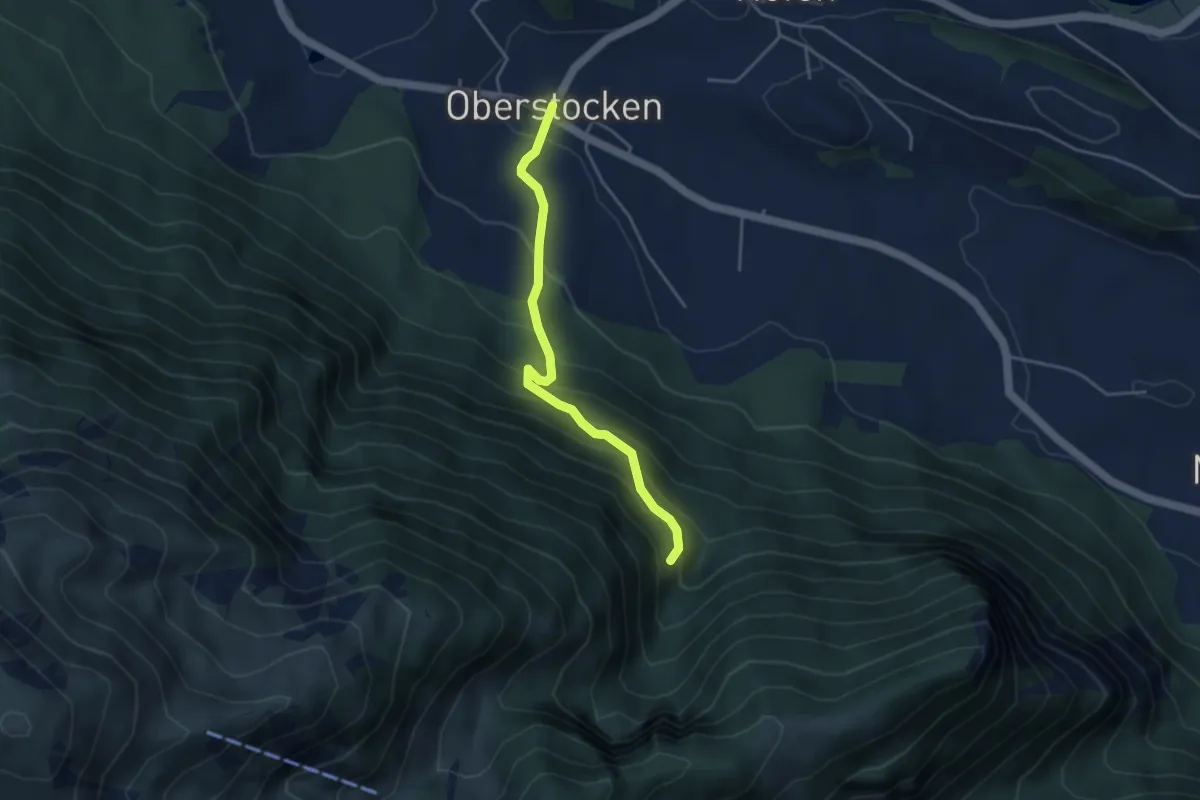
Medium · Trail
Oberstocken – Schwand
3.8 km · ↑ 356 m · 1 h 40 min · 9 km away
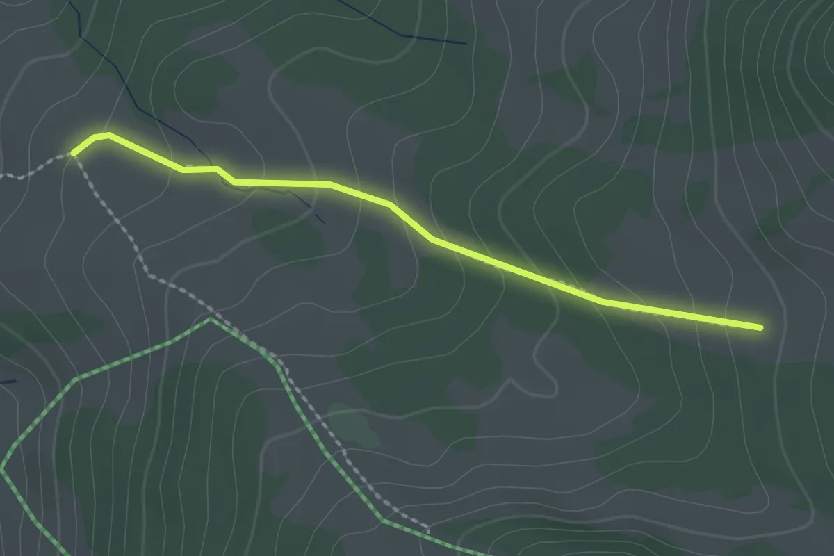
Easy · Trail
Stampf – Oberi Matte
2.0 km · ↑ 132 m · 46 min · 9 km away
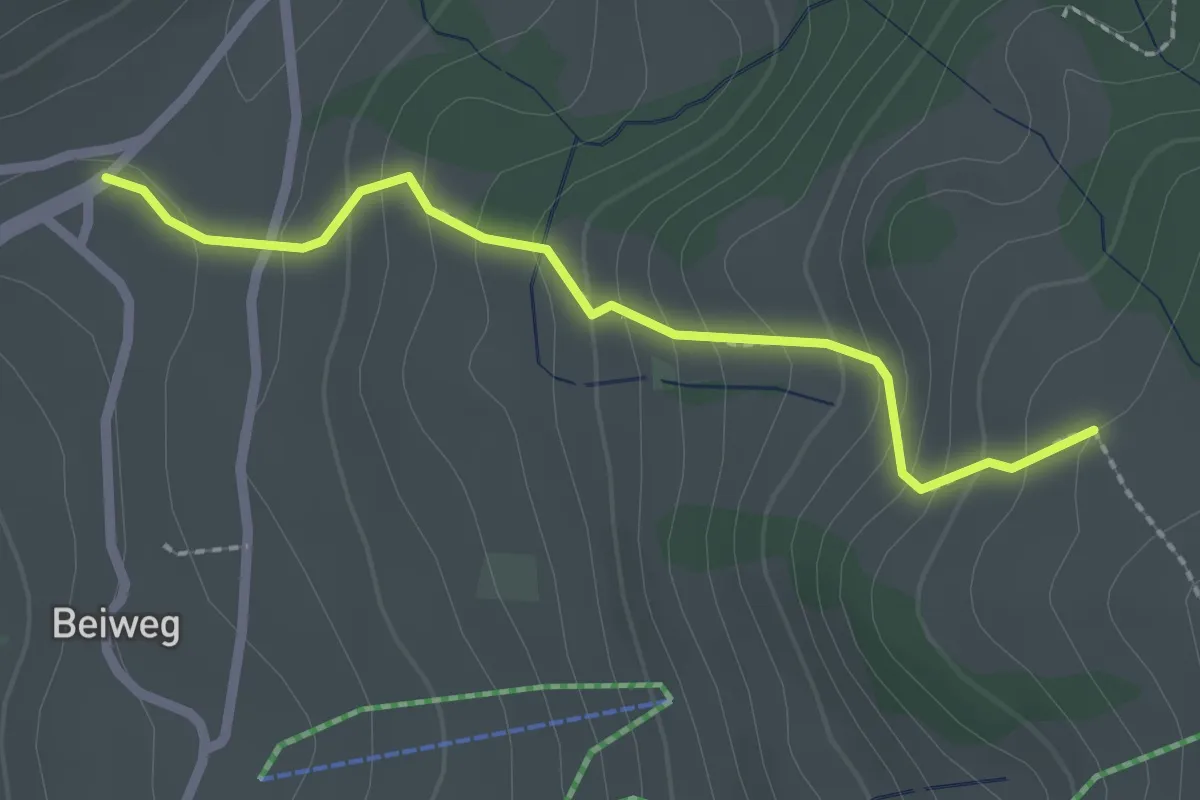
Easy · Trail
Schwanden Sagi – Stampf
2.2 km · ↑ 181 m · 55 min · 9 km away
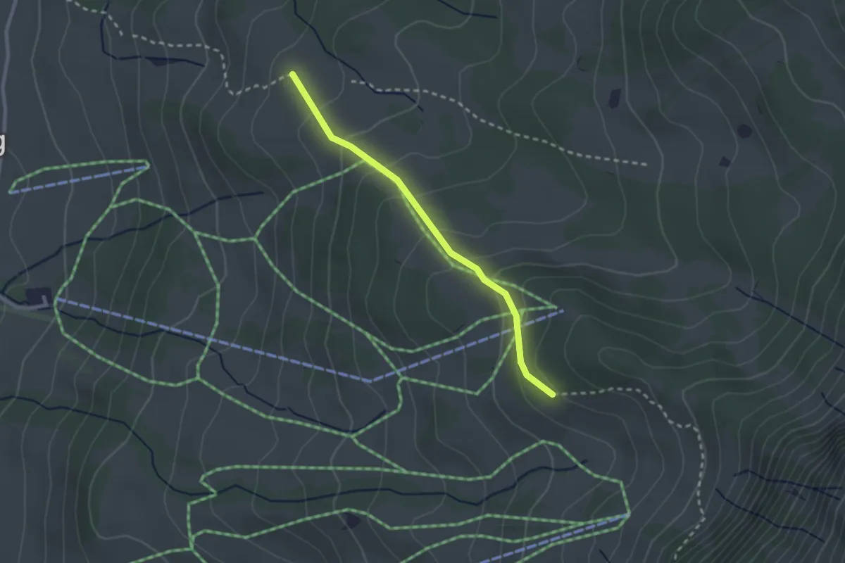
Easy · Trail
Stampf – Bodmi
2.3 km · ↑ 166 m · 54 min · 9 km away
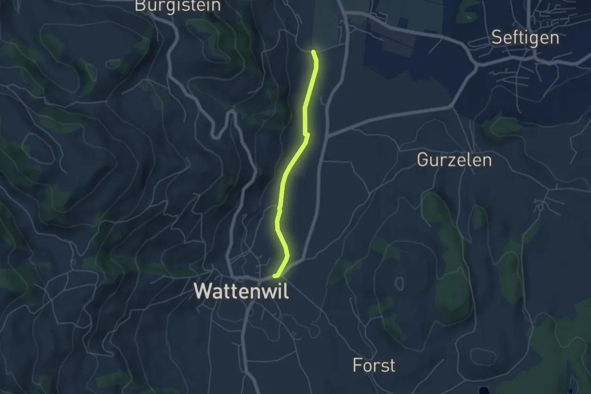
Easy · Trail
Neuhus - Wattenwil
4.2 km · ↑ 31 m · 1 h 3 min · 9 km away
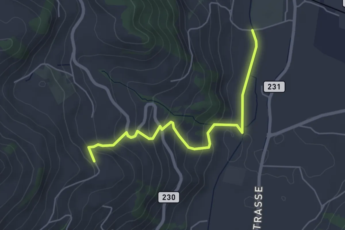
Easy · Trail
Lörtscherei - Neuhus
4.7 km · ↑ 224 m · 1 h 35 min · 9 km away
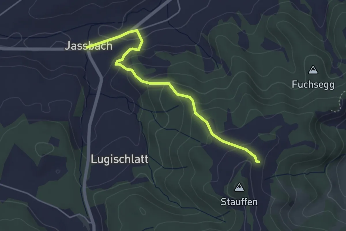
Easy · Trail
Jassbach – Hinter Stauffen
3.9 km · ↑ 196 m · 1 h 21 min · 9 km away
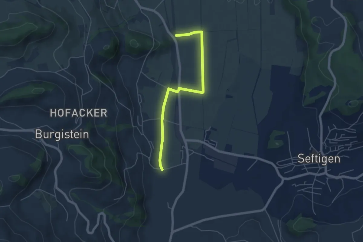
Easy · Trail
Lohnstorfbrügg - Neuhus
4.8 km · ↑ 17 m · 1 h 10 min · 9 km away
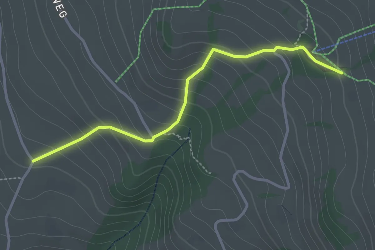
Easy · Trail
Wilerallmi – Zälg
2.6 km · ↑ 194 m · 1 h 2 min · 9 km away
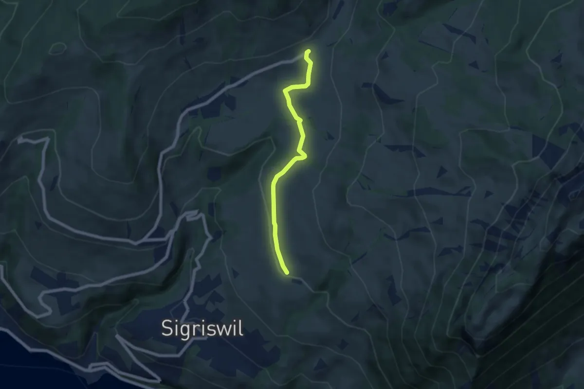
Easy · Trail
Zälg – Schwanden Sagi
5.1 km · ↑ 128 m · 1 h 29 min · 9 km away
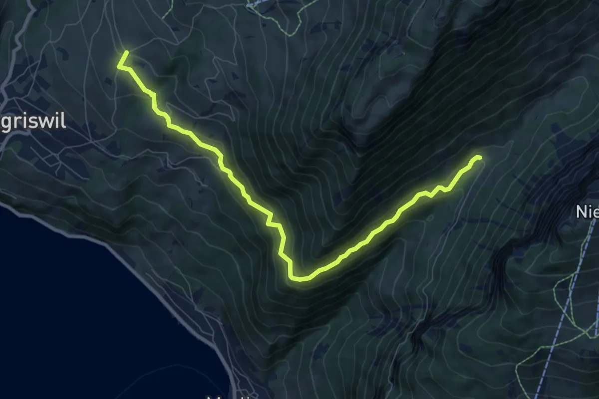
Medium · Trail
Justistal/Grön – Zälg
8.9 km · ↑ 530 m · 3 h 14 min · 9 km away
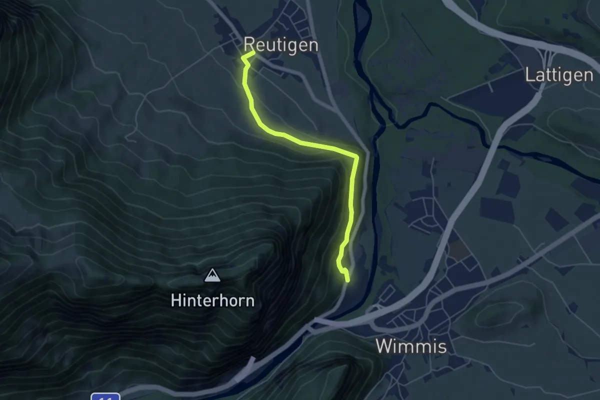
Easy · Trail
Brodhüsi – Reutigen
4.9 km · ↑ 232 m · 1 h 40 min · 9 km away
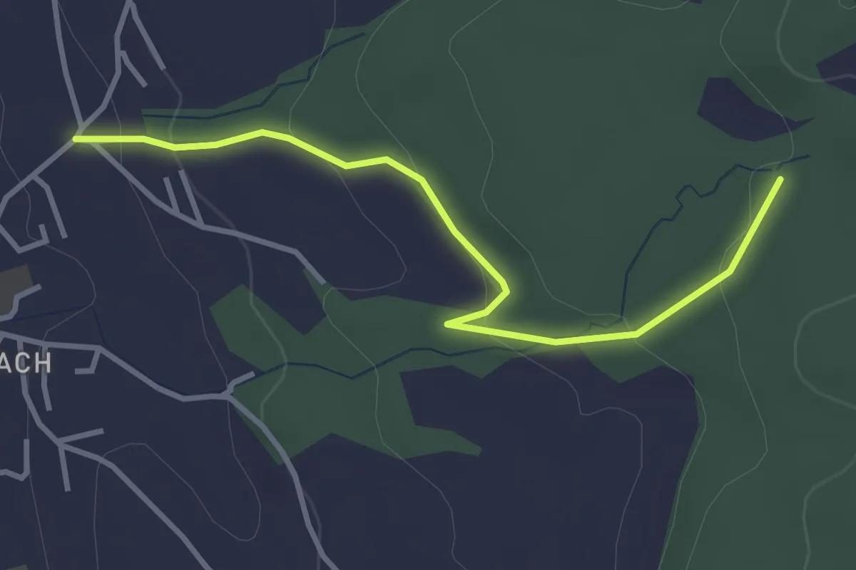
Easy · Trail
Wichtrach/Oberdorf – Rotebüel
3.3 km · ↑ 121 m · 1 h 2 min · 9 km away
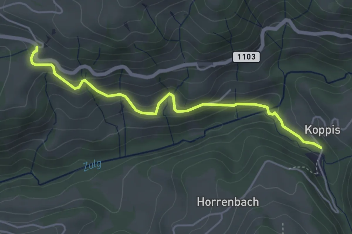
Easy · Trail
Losenegg – Horrenbachmüli
4.1 km · ↑ 271 m · 1 h 34 min · 9 km away
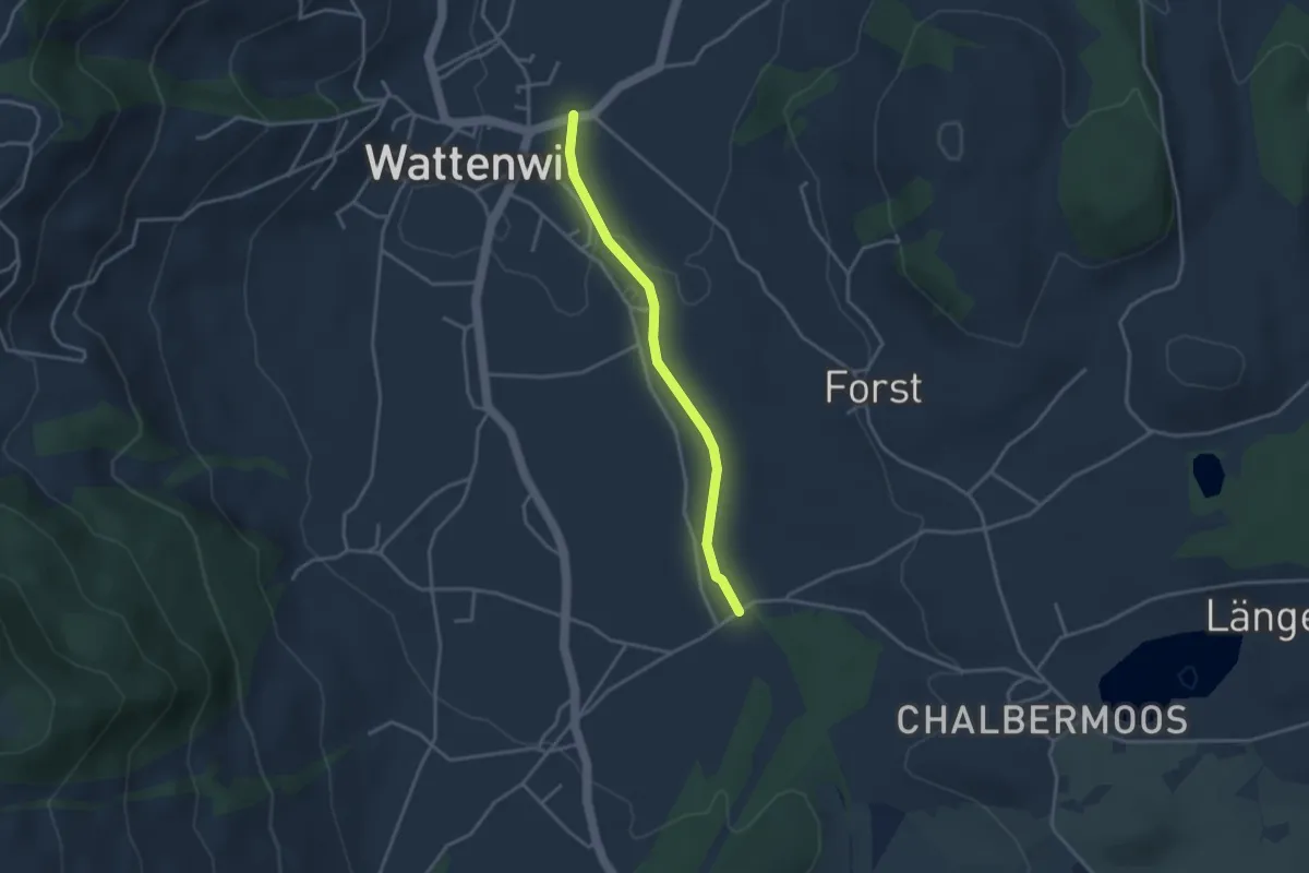
Easy · Trail
Wattenwil - Längmoos
3.1 km · ↑ 26 m · 48 min · 9 km away
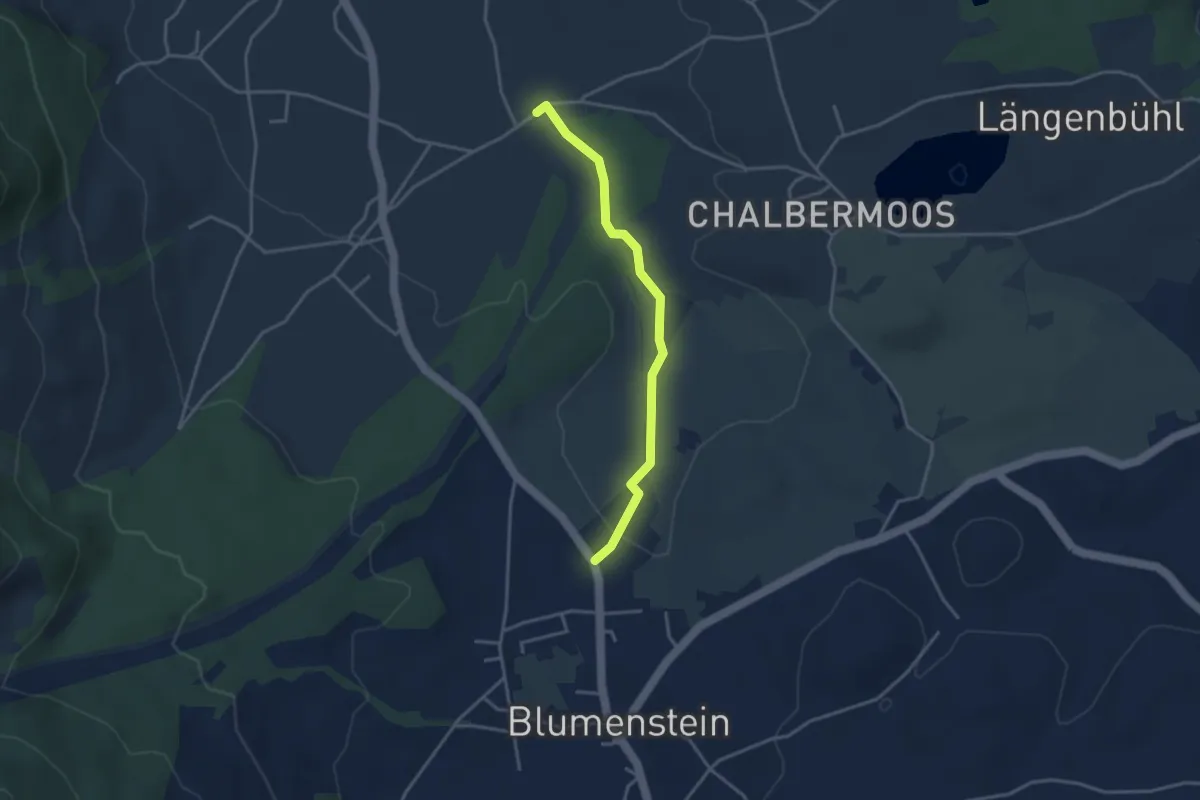
Easy · Trail
Blumenstein/Bad – Längmoos
3.3 km · ↑ 31 m · 50 min · 9 km away
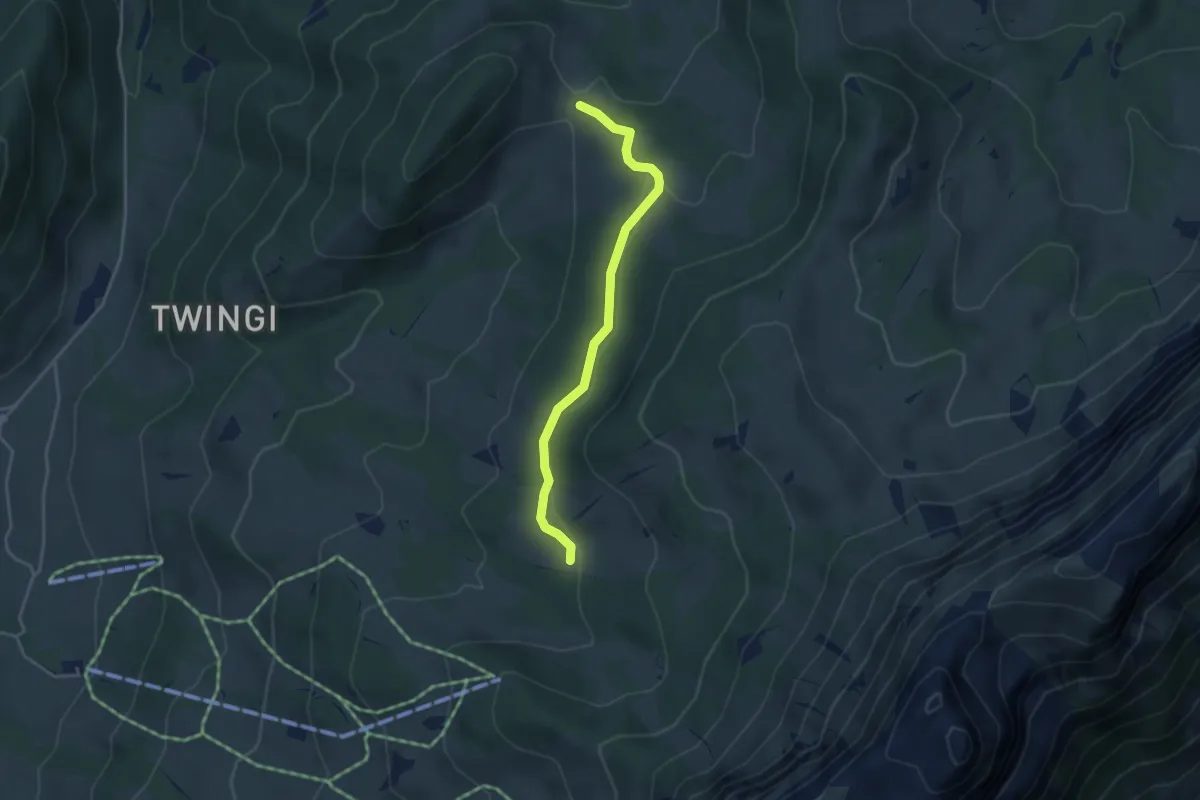
Easy · Trail
Oberi Matte – Dünzenegg
3.6 km · ↑ 109 m · 1 h 6 min · 10 km away
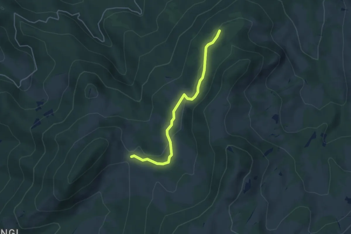
Easy · Trail
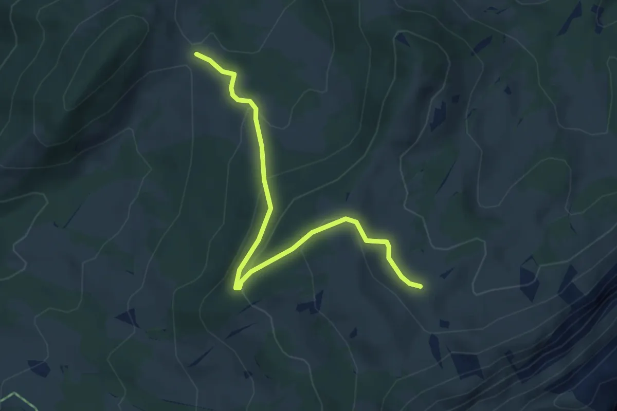
Schnabel – Dünzenegg
3.6 km · ↑ 93 m · 1 h 4 min · 10 km away
Easy · Trail
Dünzenegg – Obere Zettenalp
4.6 km · ↑ 205 m · 1 h 32 min · 10 km away
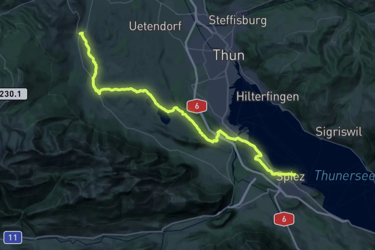
Demanding · Summit
ViaJacobi
42.5 km · ↑ 648 m · 11 h 26 min · 10 km away
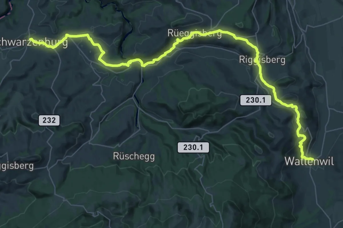
Demanding · Trail
ViaJacobi
20.9 km · ↑ 641 m · 6 h 31 min · 10 km away
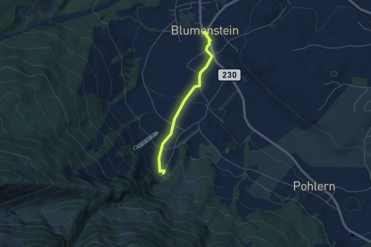
Easy · Trail
Blumenstein/Kirche – Blumenstein
4.1 km · ↑ 129 m · 1 h 15 min · 10 km away
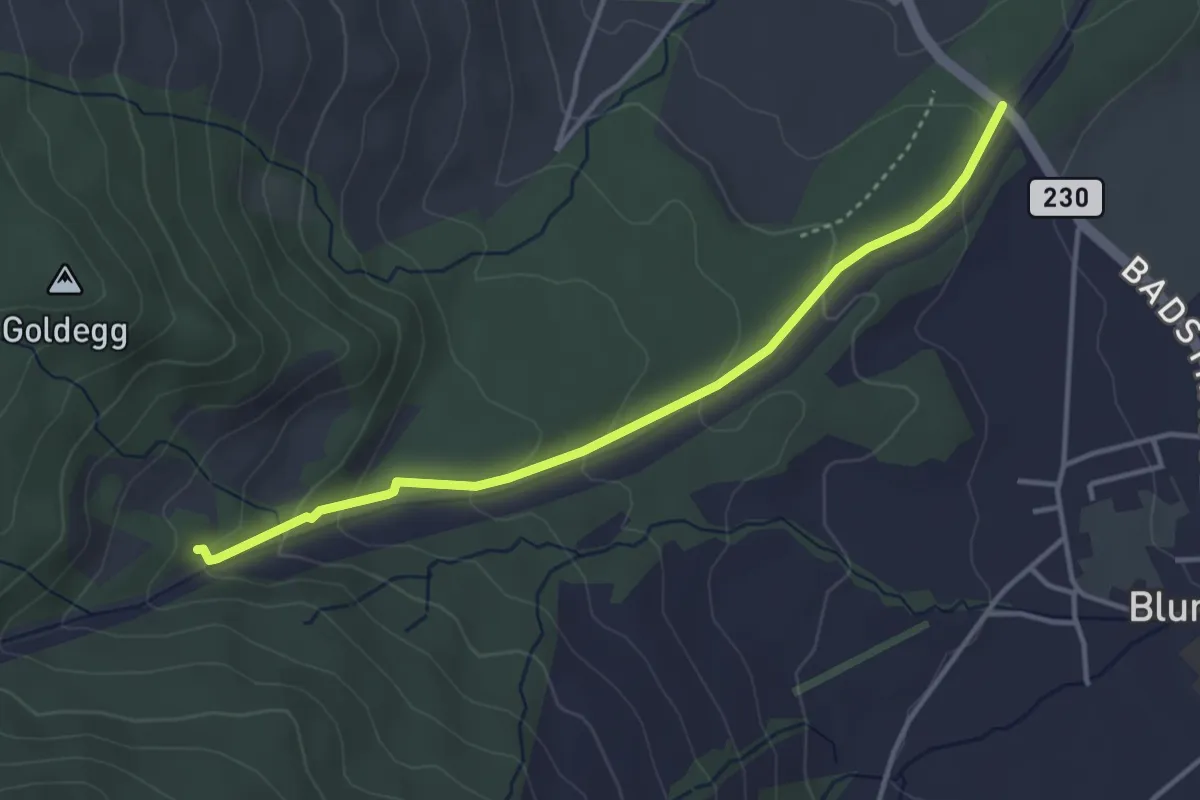
Easy · Trail
Blumensteibrügg
3.8 km · ↑ 160 m · 1 h 15 min · 10 km away
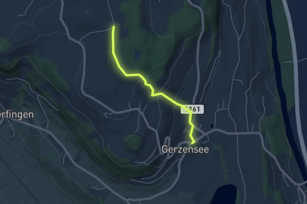
Easy · Trail
Nessleren - Gerzensee
3.8 km · ↑ 223 m · 1 h 23 min · 10 km away
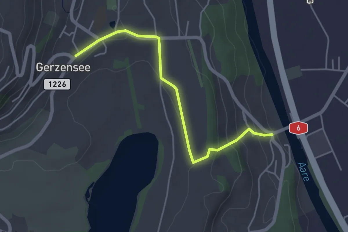
Easy · Trail
Gerzensee - Thalgutbrücke
3.9 km · ↑ 130 m · 1 h 12 min · 10 km away
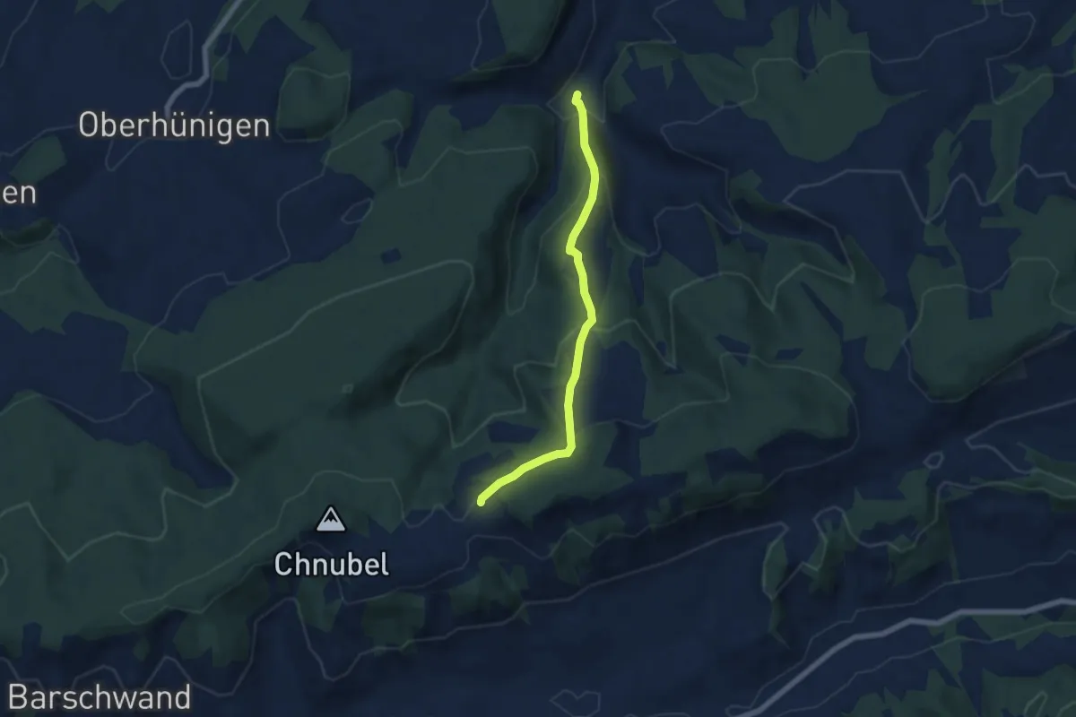
Medium · Trail
Äbersold – Längeney
5.7 km · ↑ 321 m · 2 h 3 min · 10 km away