Trails near Steffisburg
412 hikes starting within 15 km, nearest first.
Nearest first, page 9 of 9
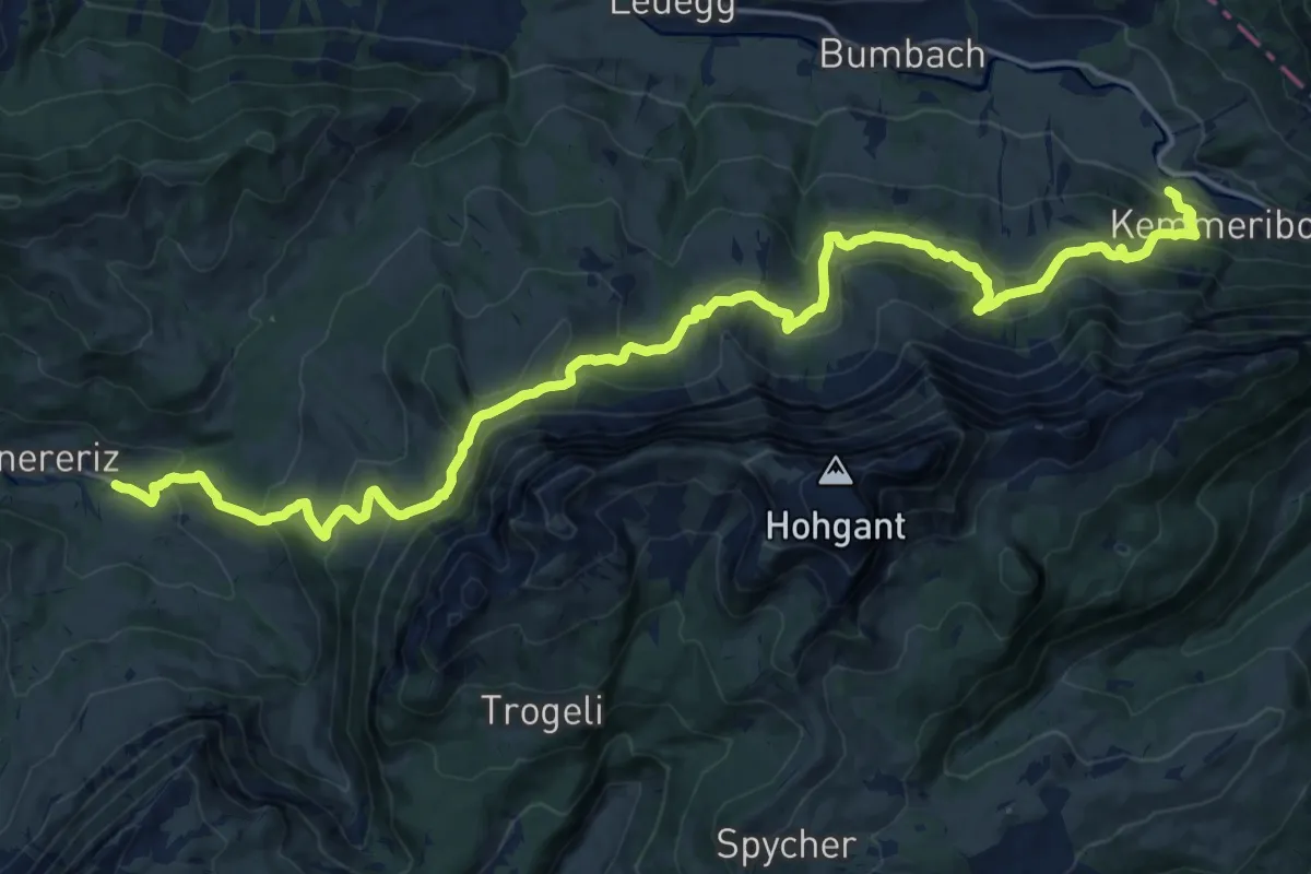
Medium · Trail
Innereriz – Kemmeribodenbad
11.4 km · ↑ 645 m · 4 h 17 min · 15 km away
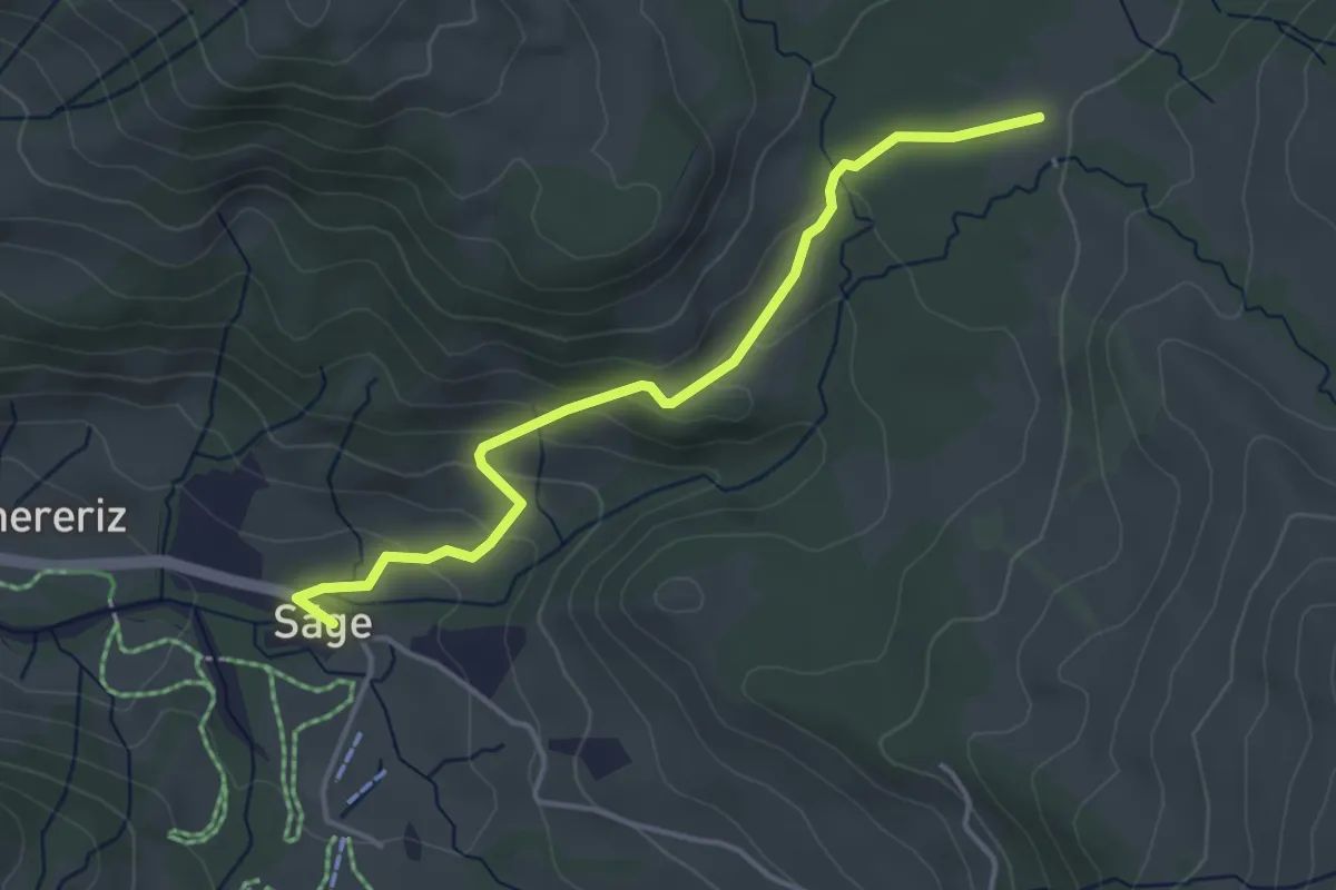
Easy · Trail
Rotmoos – Innereriz / Säge
4.0 km · ↑ 156 m · 1 h 17 min · 15 km away
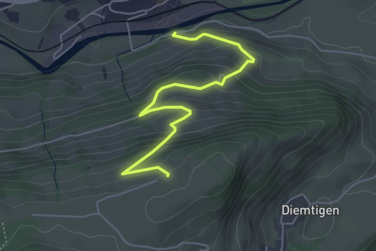
Easy · Trail
Erlenbach – Bergli
4.7 km · ↑ 297 m · 1 h 46 min · 15 km away
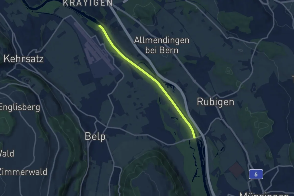
Medium · Trail
Auguetbrügg - Hunzigebrügg
8.7 km · ↑ 8 m · 2 h 4 min · 15 km away
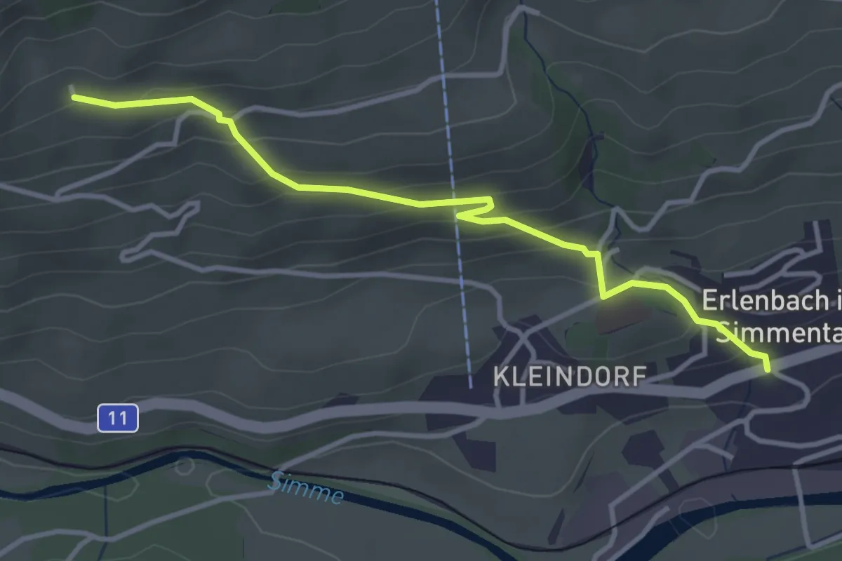
Easy · Trail
Obereschle – Erlenbach
3.5 km · ↑ 239 m · 1 h 20 min · 15 km away
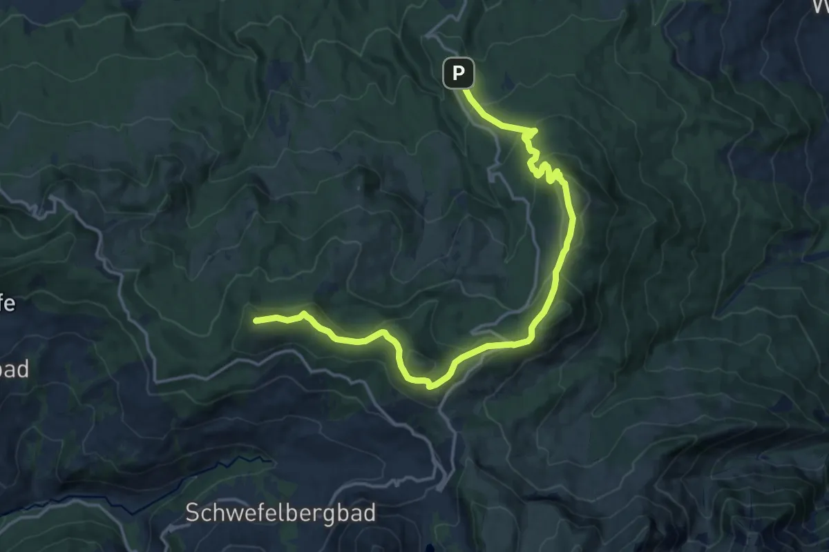
Medium · Summit
Gantrisch Panoramaweg
17.6 km · ↑ 784 m · 5 h 51 min · 15 km away
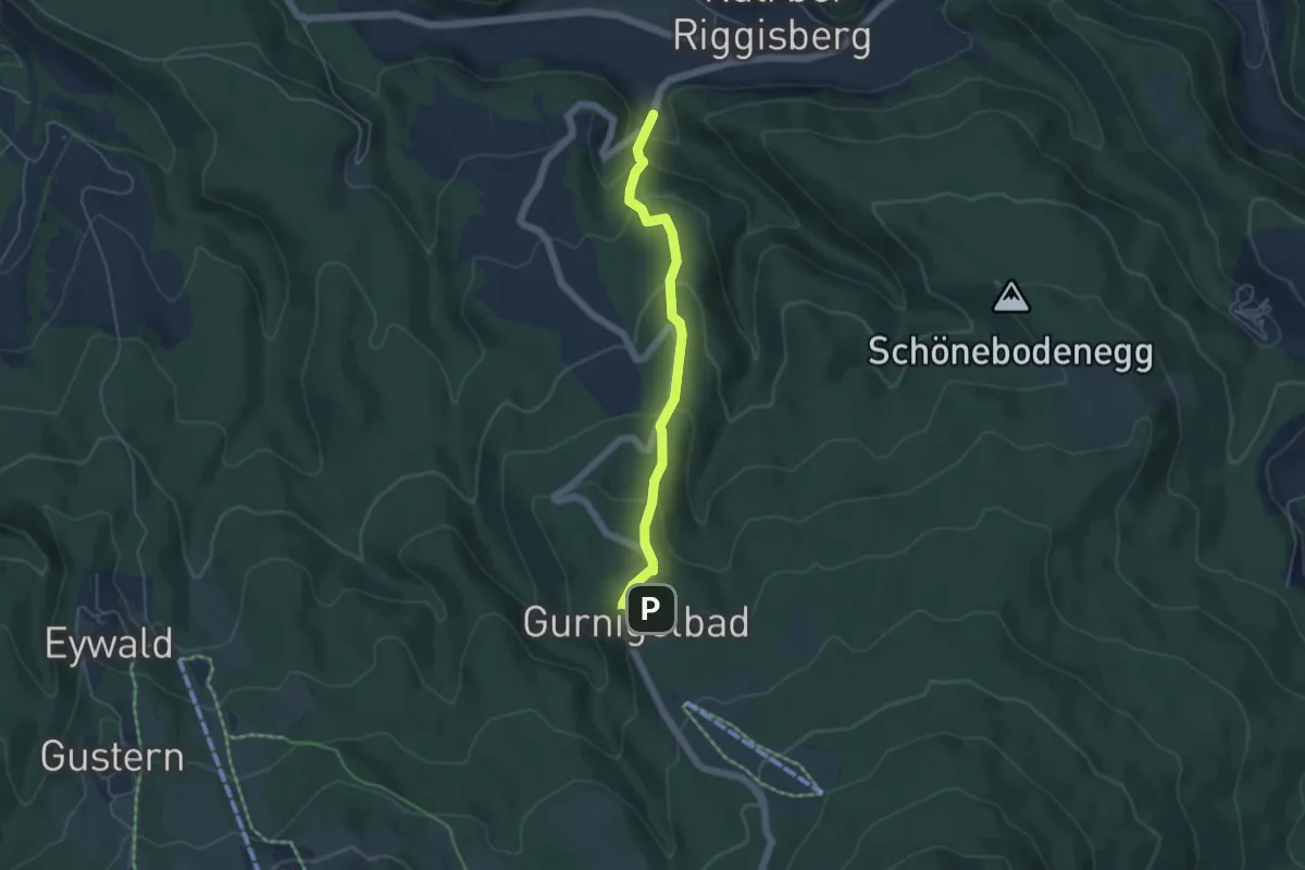
Easy · Trail
Gurnigelbad - Dürrbach
4.6 km · ↑ 307 m · 1 h 45 min · 15 km away
Easy · Trail
Schopf – Allmereweide
2.2 km · ↑ 95 m · 44 min · 15 km away
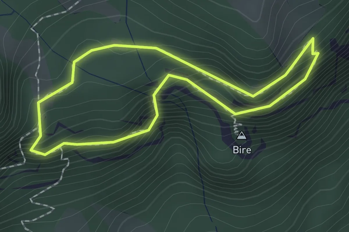
Demanding · Summit
Bireflue – Bire
1.5 km · ↑ 169 m · 45 min · 15 km away
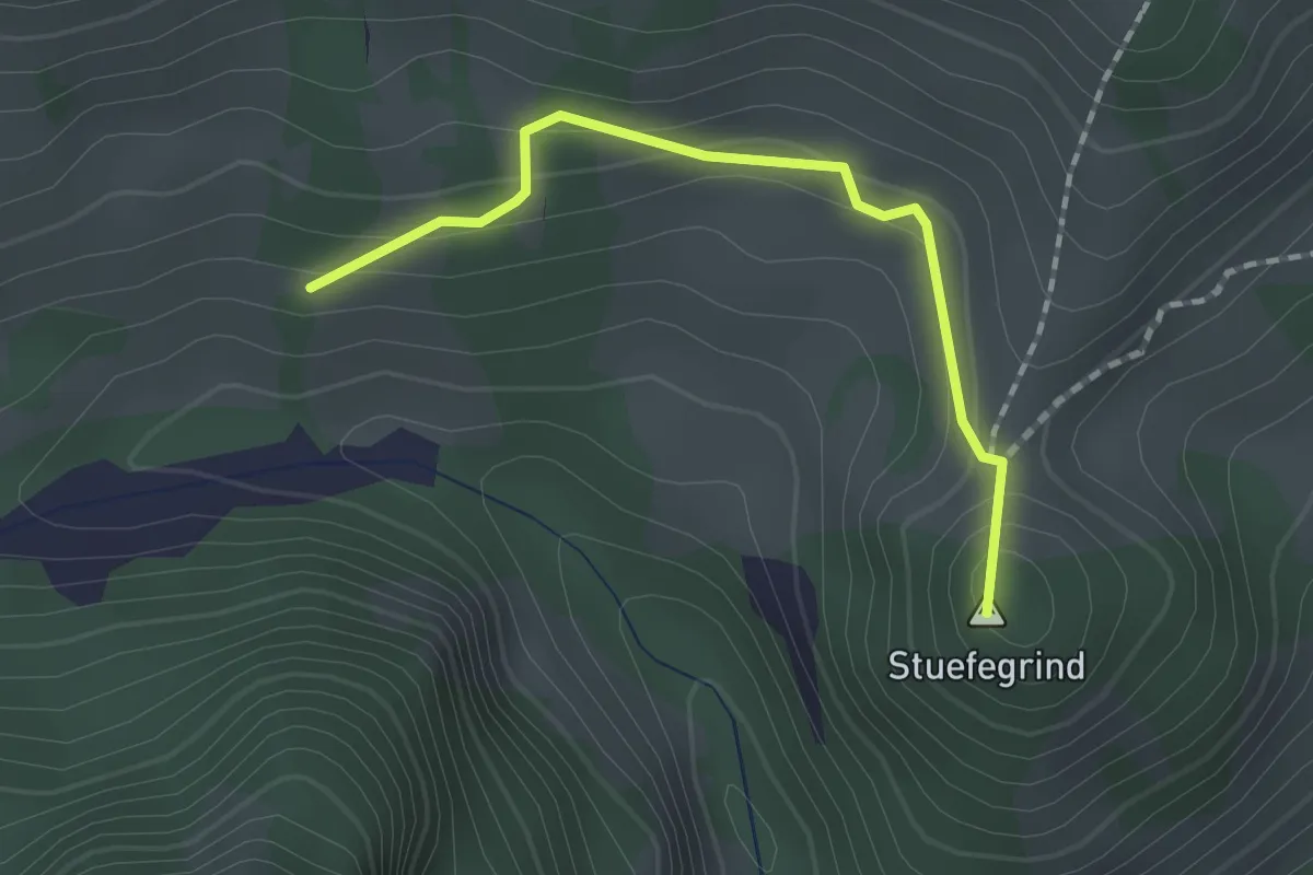
Easy · Summit
Bergli – Zügegg
1.6 km · ↑ 61 m · 31 min · 15 km away
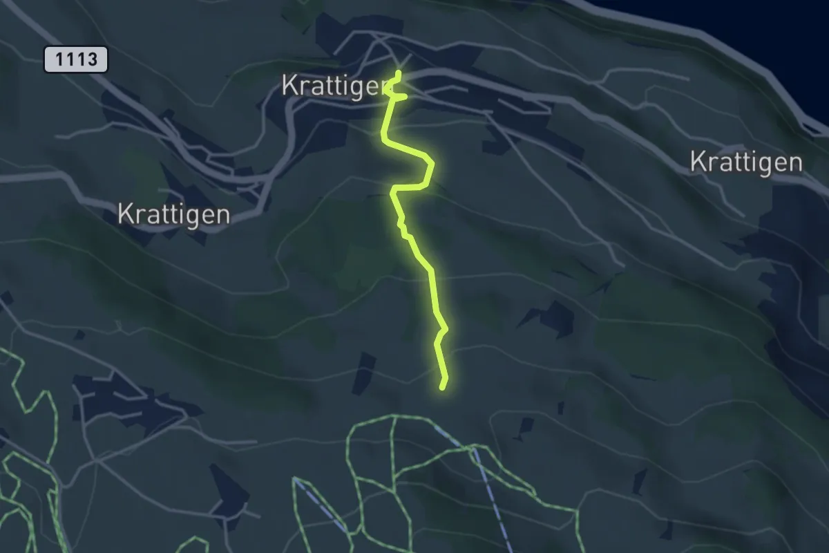
Easy · Trail
Blase – Krattigen
2.8 km · ↑ 198 m · 1 h 5 min · 15 km away
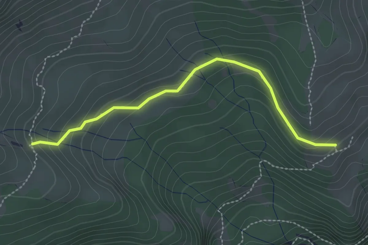
Easy · Trail
Unterburgfeld – Häliloch
2.5 km · ↑ 108 m · 50 min · 15 km away
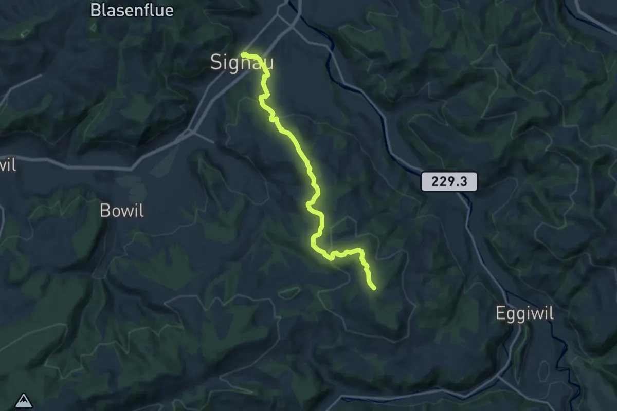
Medium · Trail
Junkholz – Signau
14.1 km · ↑ 510 m · 4 h 26 min · 15 km away
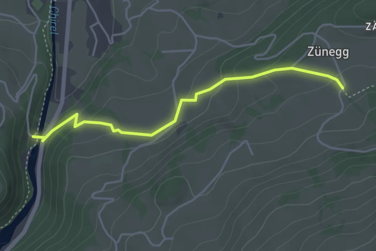
Easy · Trail
Katzenlochbrücke – Zäunegg
3.7 km · ↑ 155 m · 1 h 12 min · 15 km away
Easy · Trail
Schopf – Ufem Hus
2.5 km · ↑ 285 m · 1 h 12 min · 15 km away
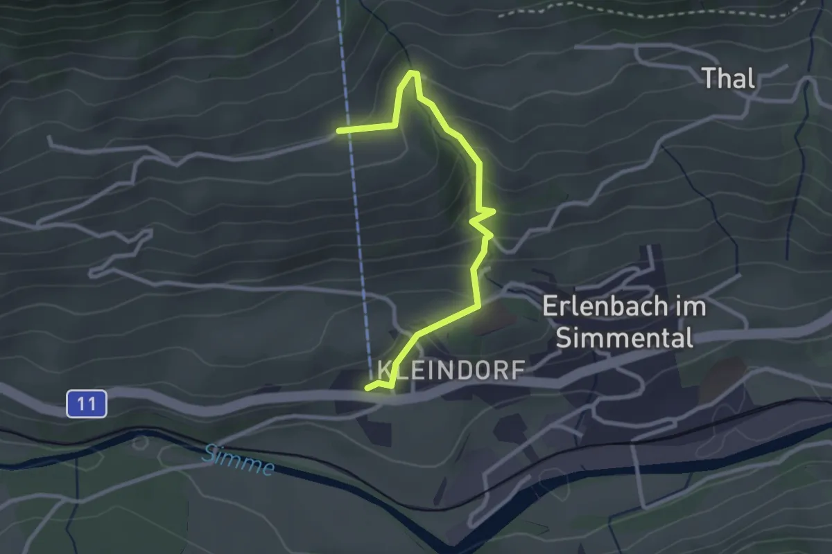
Easy · Trail
Stockhornbahn – Moos
2.7 km · ↑ 204 m · 1 h 5 min · 15 km away
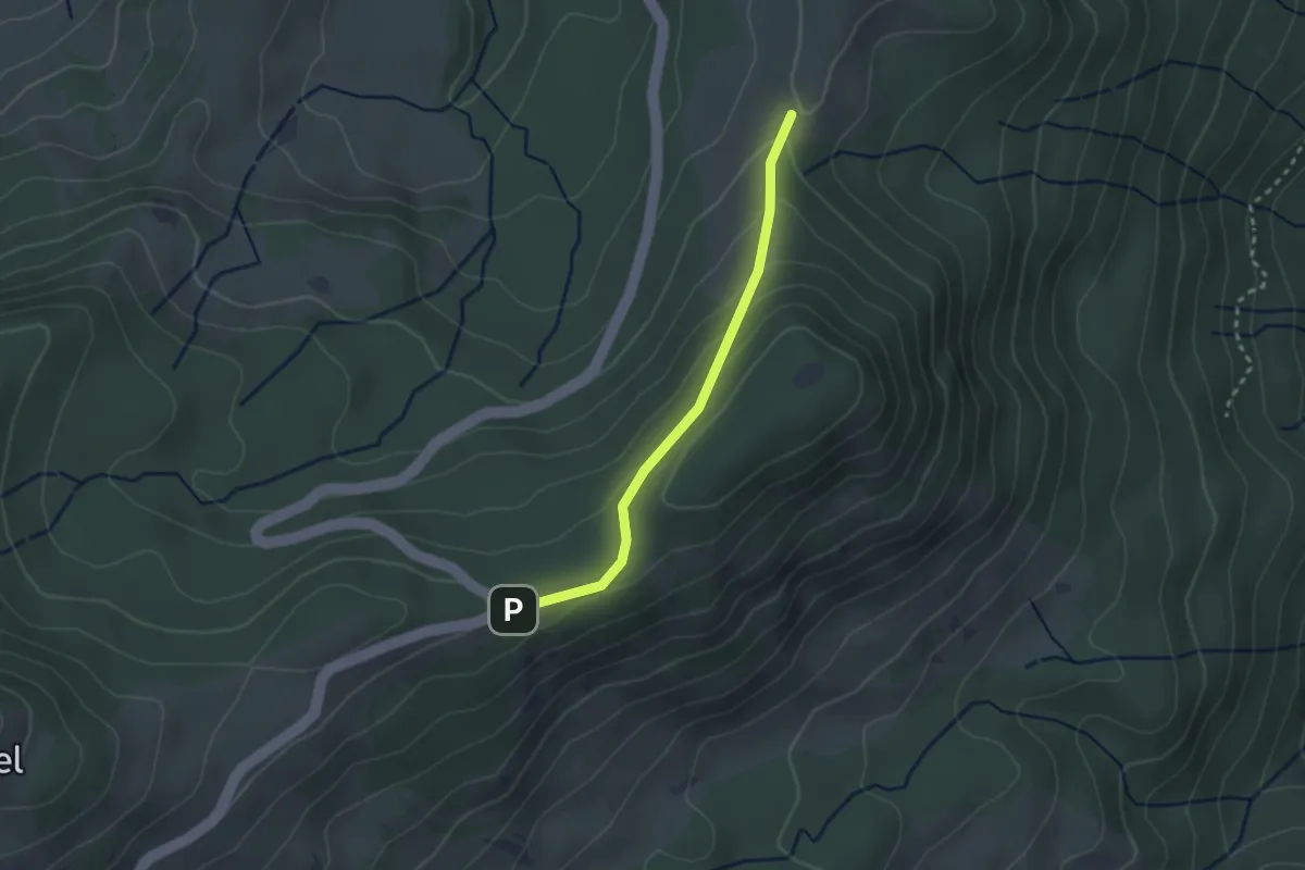
Easy · Trail
Gurnigel Berghaus - Gurnigelberg
2.3 km · ↑ 112 m · 48 min · 15 km away
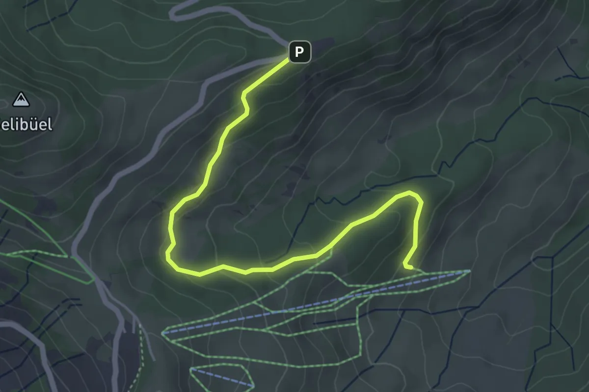
Easy · Trail
Schwändli - Gurnigel Berghaus
4.8 km · ↑ 213 m · 1 h 36 min · 15 km away
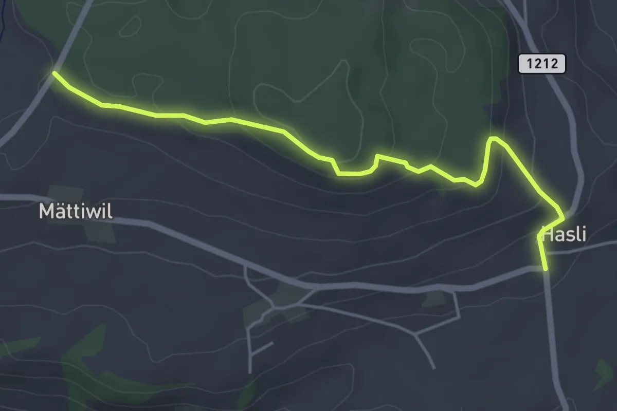
Easy · Trail
Hasli – Than
4.6 km · ↑ 179 m · 1 h 29 min · 15 km away
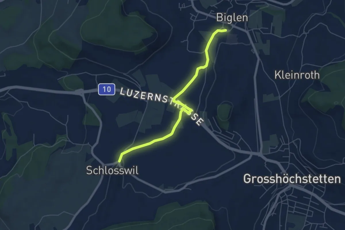
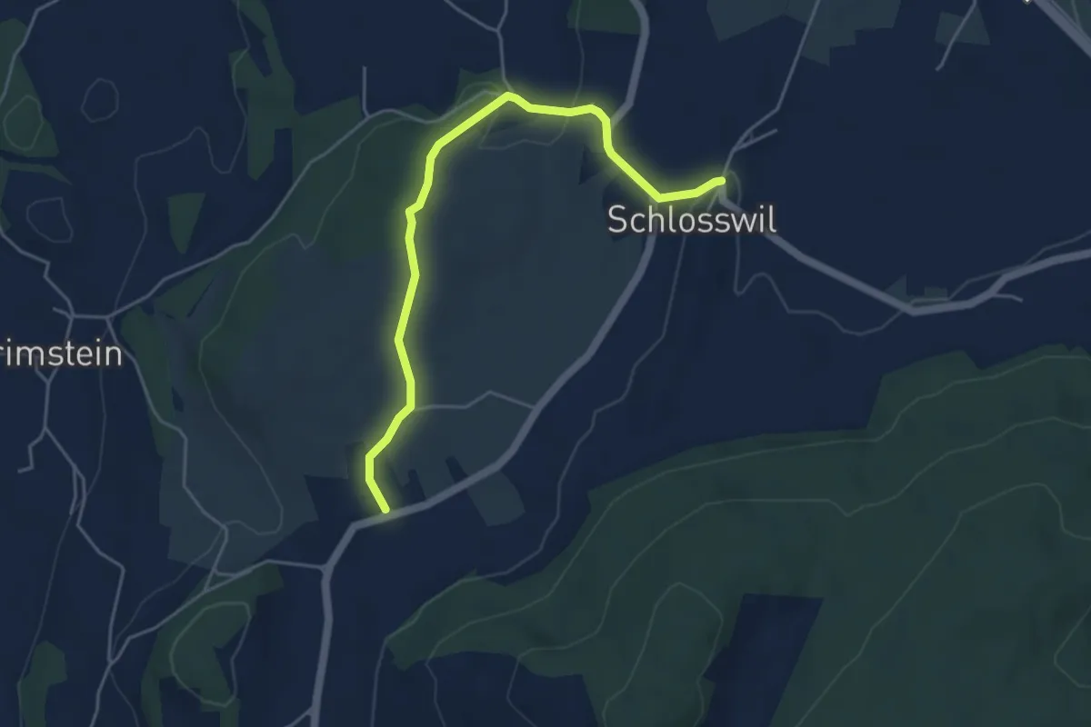
Easy · Trail
Schlosswil – Biglen
5.6 km · ↑ 36 m · 1 h 25 min · 15 km away
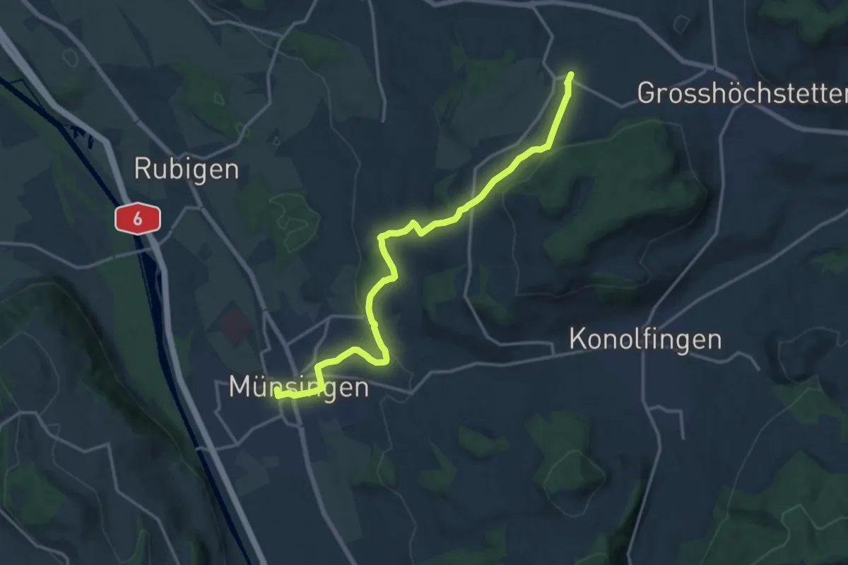
Easy · Trail
Herolfingen – Schlosswil
4.7 km · ↑ 105 m · 1 h 20 min · 15 km away
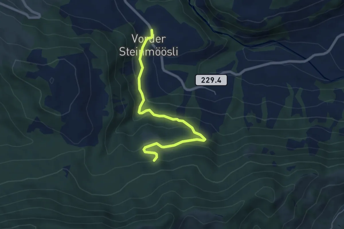
Medium · Trail
Münsingen – Schlosswil
14.9 km · ↑ 320 m · 4 h 12 min · 15 km away
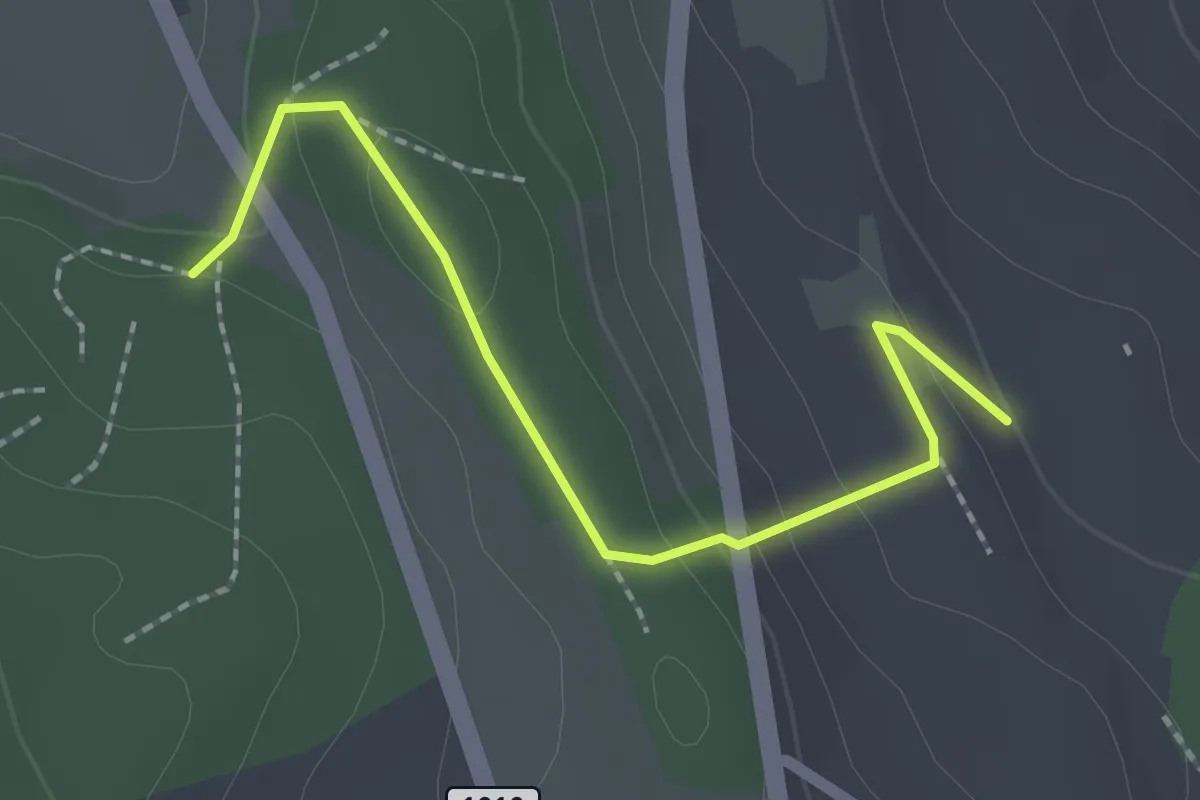
Easy · Trail
Vorder Steinmöösli – Stäldeli
5.4 km · ↑ 292 m · 1 h 54 min · 15 km away
Easy · Trail
Rattenholz - Oberfeld
2.1 km · ↑ 70 m · 39 min · 15 km away
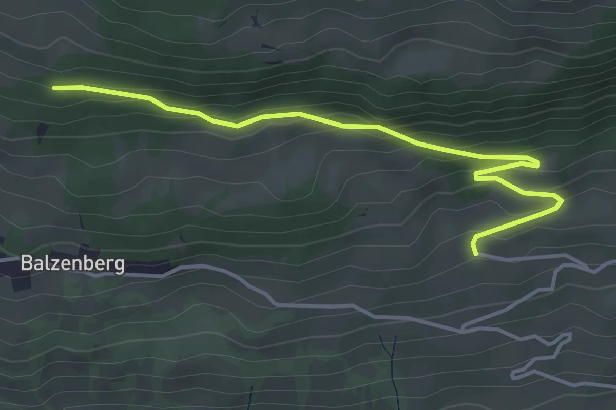
Easy · Trail
Obereschle – Schopf
4.0 km · ↑ 224 m · 1 h 25 min · 15 km away
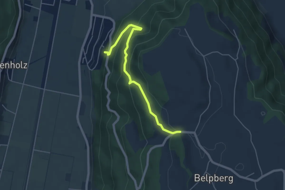
Easy · Trail
Weid - Riedli
4.2 km · ↑ 305 m · 1 h 39 min · 15 km away
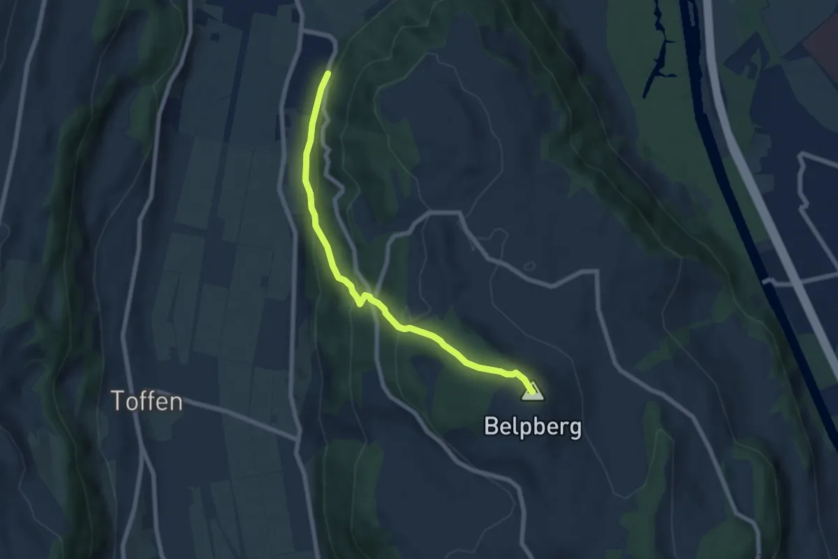
Medium · Summit
Belpberg/Chutze - Riedli
6.2 km · ↑ 336 m · 2 h 12 min · 15 km away
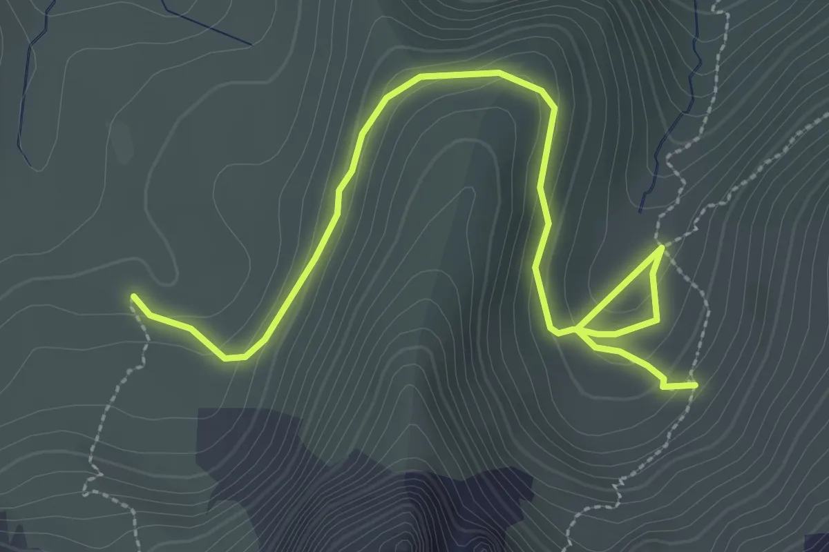
Medium · Trail
Obernünene – Gustiberg
3.7 km · ↑ 155 m · 1 h 12 min · 15 km away