Trails near Sursee
474 hikes starting within 15 km, nearest first.
Nearest first, page 10 of 10
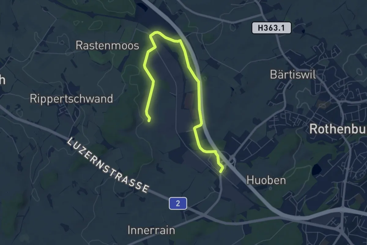
Medium · Trail
Rothenburg Station - Ober Wahligen
8.0 km · ↑ 59 m · 2 h 1 min · 14 km away
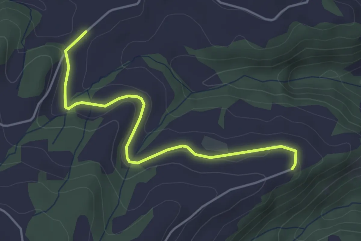
Easy · Trail
Schrufenegg - Hasenschwand
3.9 km · ↑ 73 m · 1 h 5 min · 14 km away
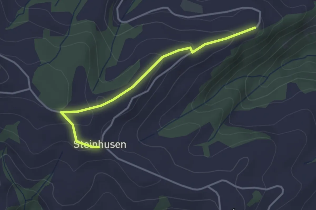
Easy · Trail
Schrufenegg - Steinhusen
3.0 km · ↑ 123 m · 59 min · 14 km away
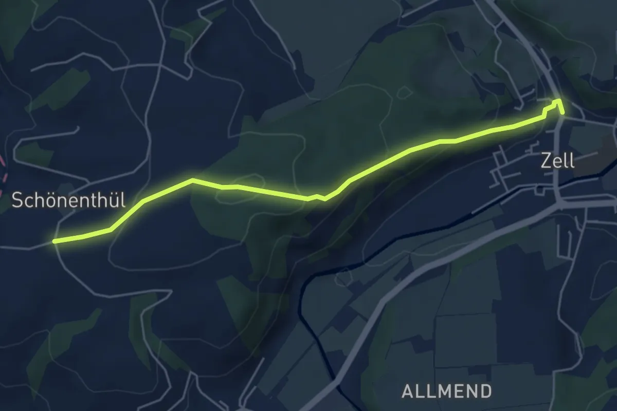
Easy · Trail
Schönentüel - Zell
5.0 km · ↑ 179 m · 1 h 34 min · 14 km away
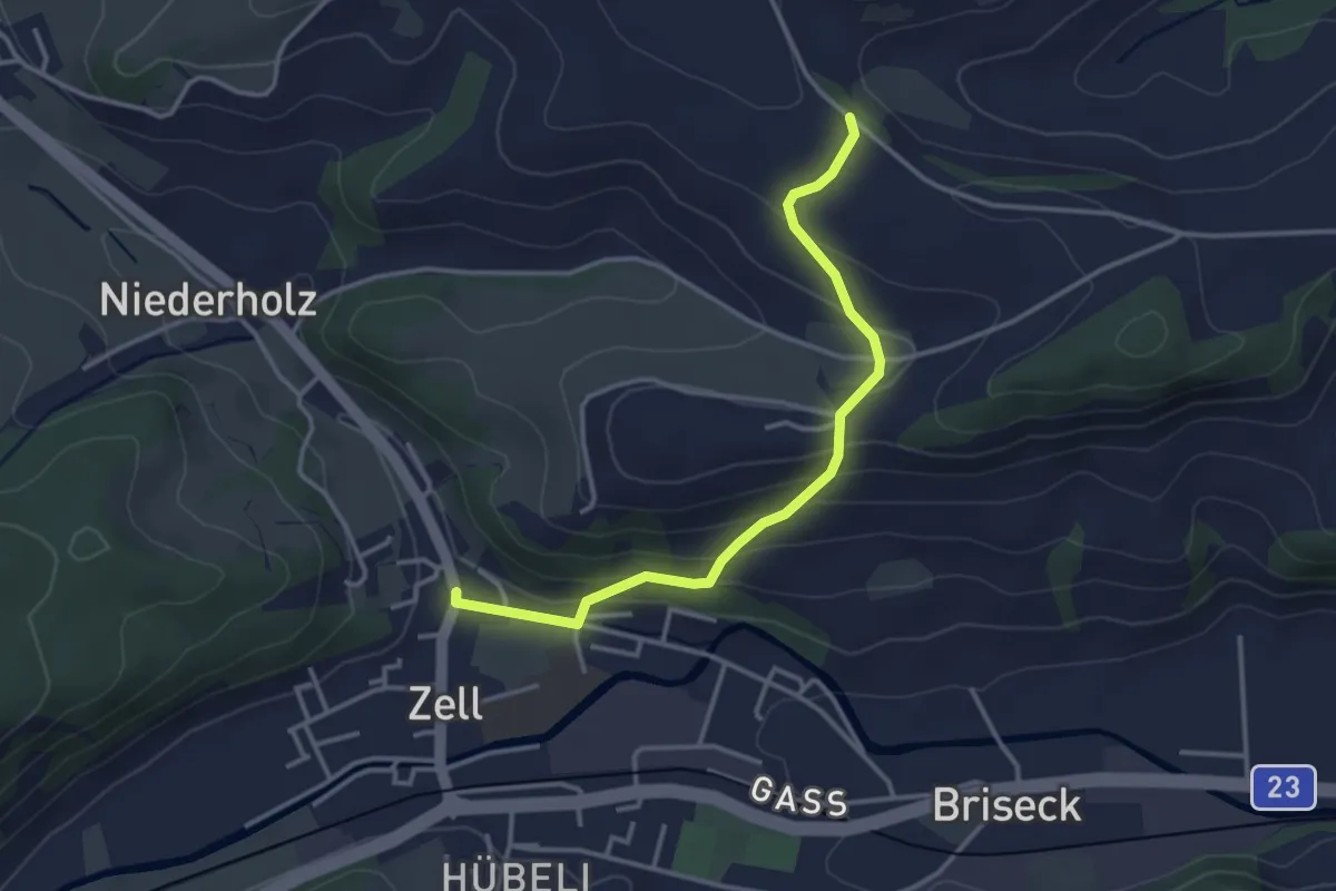
Easy · Trail
Zell - Hünkihof
3.4 km · ↑ 144 m · 1 h 7 min · 14 km away
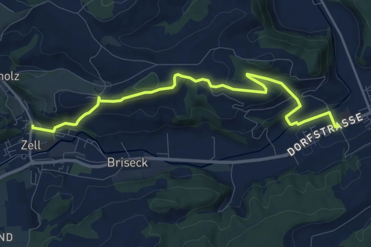
Medium · Trail
Gettnau - Zell
10.1 km · ↑ 374 m · 3 h 12 min · 14 km away
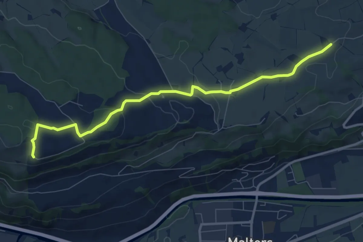
Medium · Trail
Zinggen – Tschäpperslehn
8.4 km · ↑ 225 m · 2 h 28 min · 14 km away
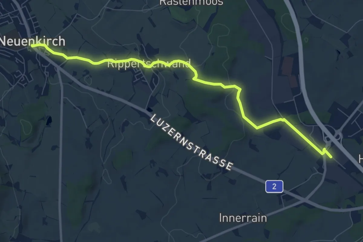
Medium · Trail
Rothenburg Station - Neuenkirch
9.1 km · ↑ 108 m · 2 h 23 min · 14 km away
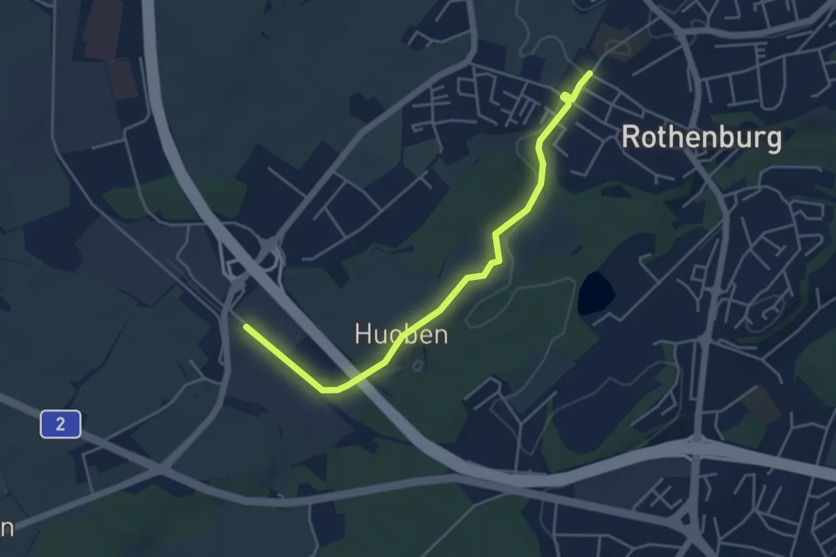
Easy · Trail
Rothenburg Station - Rothenburg (Schulhaus Gerbematt)
4.1 km · ↑ 20 m · 1 h 1 min · 14 km away
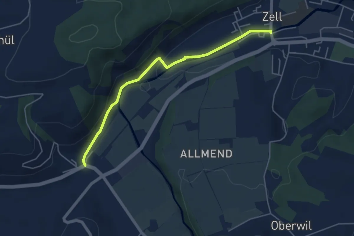
Easy · Trail
Zell - Hüswil
4.0 km · ↑ 75 m · 1 h 6 min · 14 km away
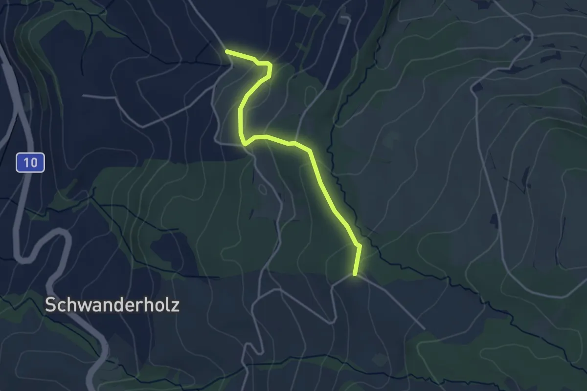
Easy · Trail
Obermoos- Häntschen
3.1 km · ↑ 127 m · 1 h · 15 km away
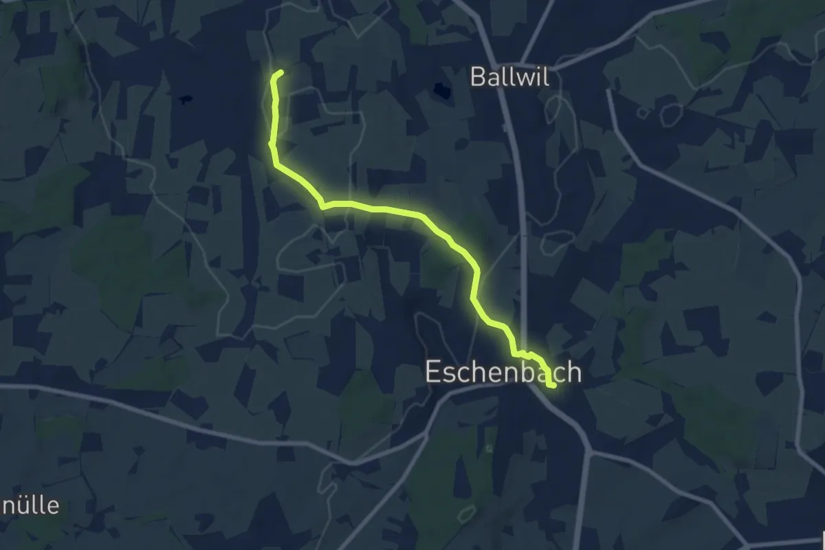
Easy · Trail
Urswil – Eschenbach
7.3 km · ↑ 120 m · 1 h 59 min · 15 km away
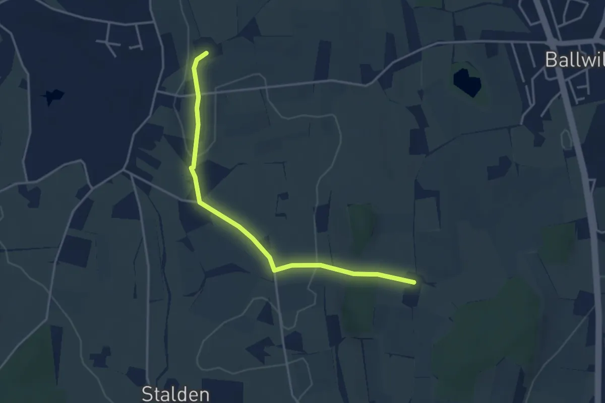
Easy · Trail
Räckebrunne – Urswil
3.6 km · ↑ 48 m · 57 min · 15 km away
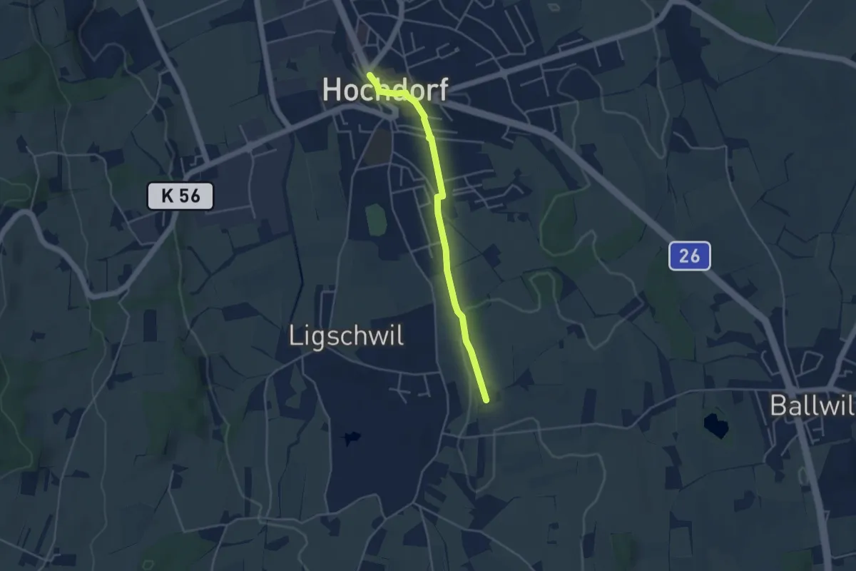
Easy · Trail
Hochdorf – Urswil
3.8 km · ↑ 27 m · 58 min · 15 km away
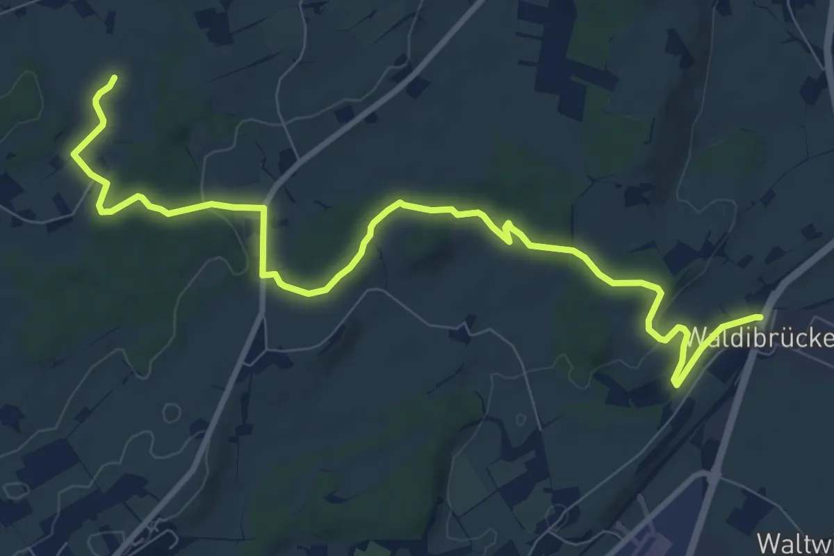
Medium · Trail
Waldibrugg - Hirselen
10.5 km · ↑ 134 m · 2 h 47 min · 15 km away
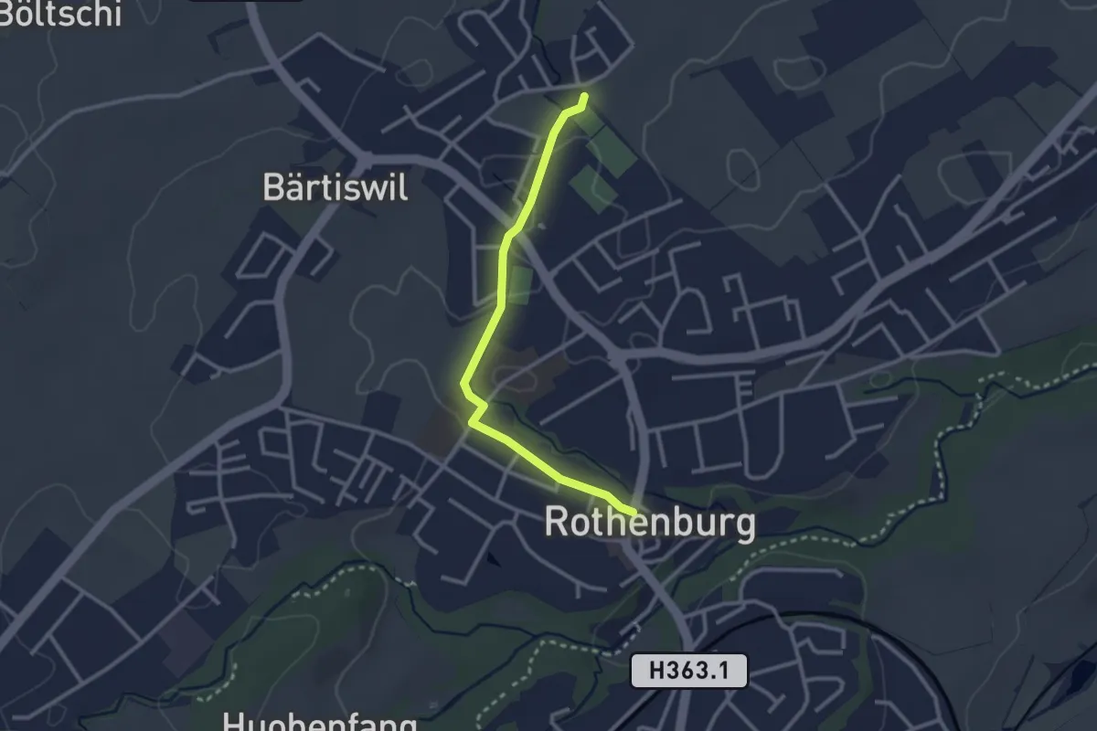
Easy · Trail
Rothenburg - Chärns
2.6 km · ↑ 12 m · 38 min · 15 km away
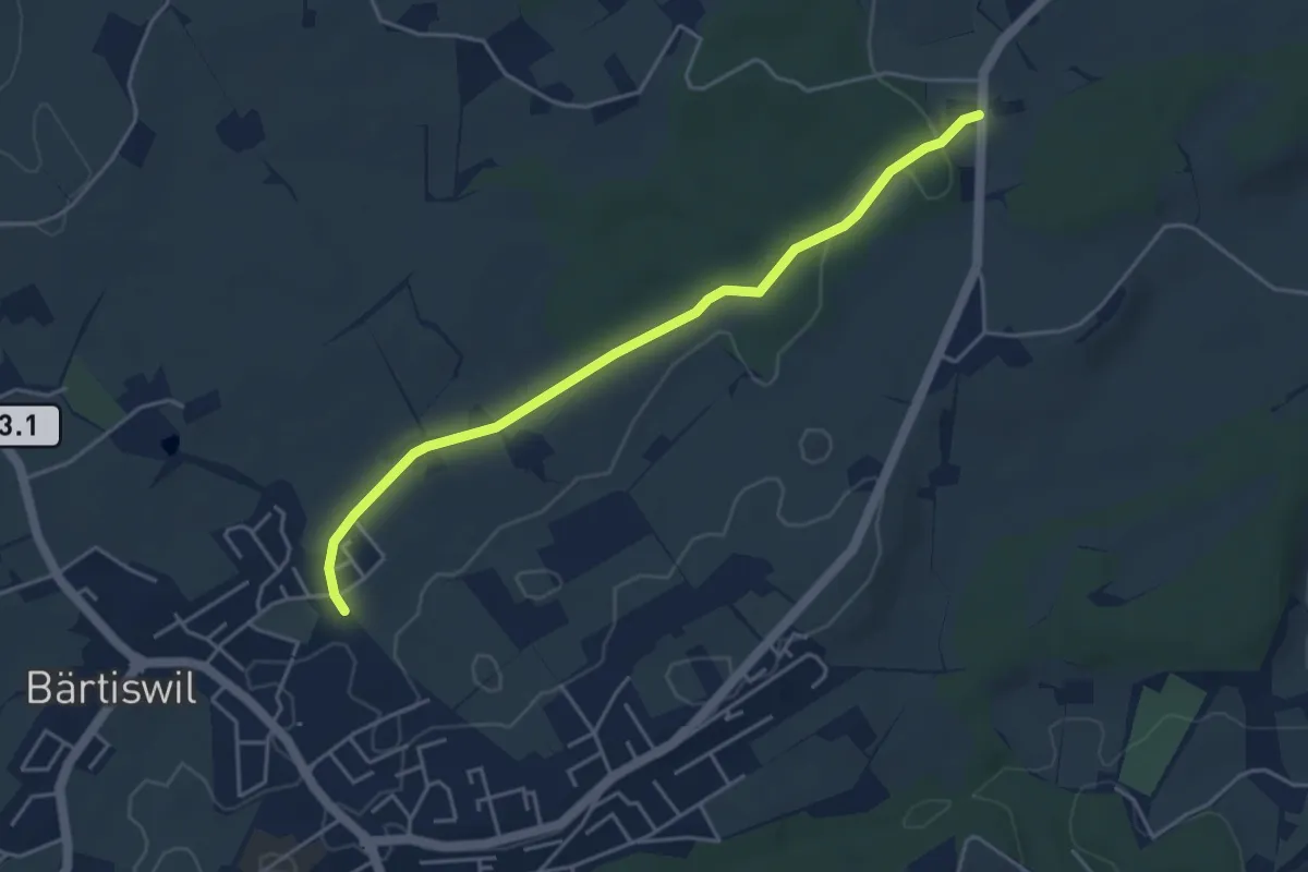
Easy · Trail
Chlöpfen - Chärns
4.3 km · ↑ 43 m · 1 h 7 min · 15 km away
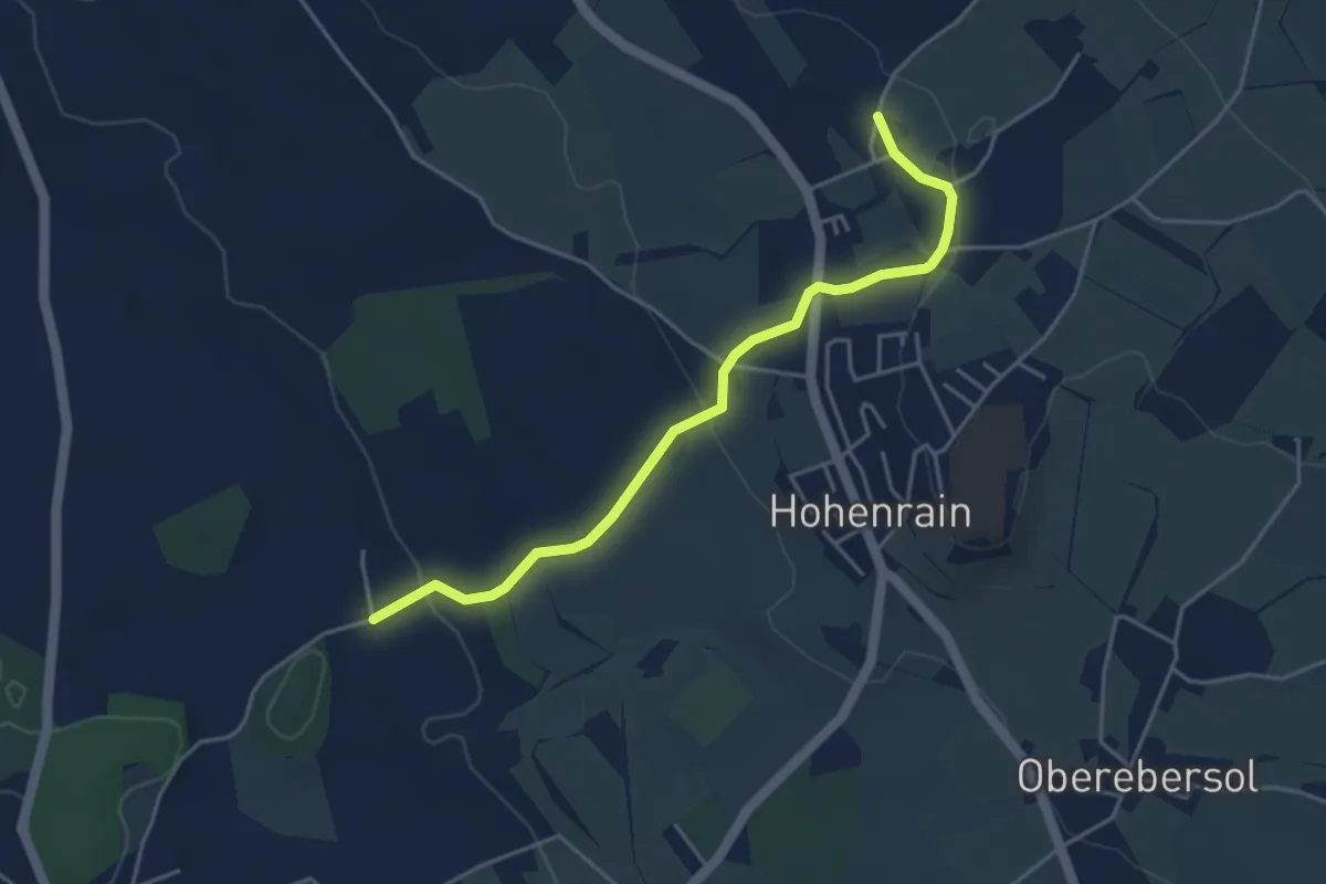
Easy · Trail
Güniken - Feldheim
4.3 km · ↑ 101 m · 1 h 14 min · 15 km away
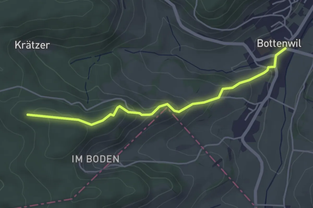
Easy · Trail
Bottenwil - Rottannhubel
4.1 km · ↑ 183 m · 1 h 21 min · 15 km away
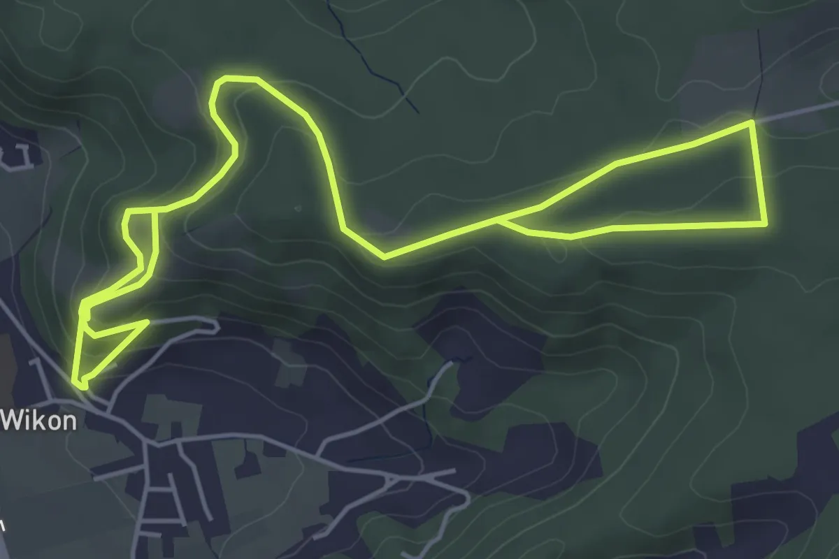
Medium · Trail
Hintermoos - Wikon
7.9 km · ↑ 376 m · 2 h 41 min · 15 km away
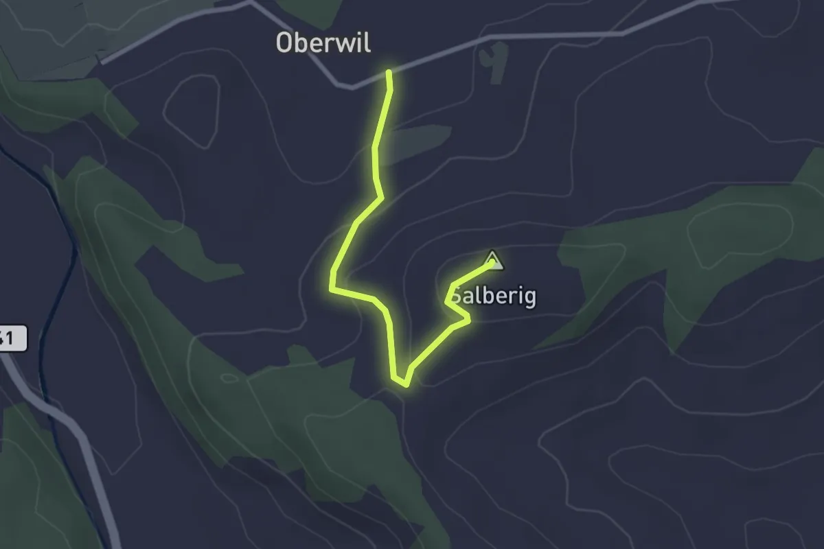
Easy · Summit
Oberwil – Salberig
2.4 km · ↑ 91 m · 46 min · 15 km away
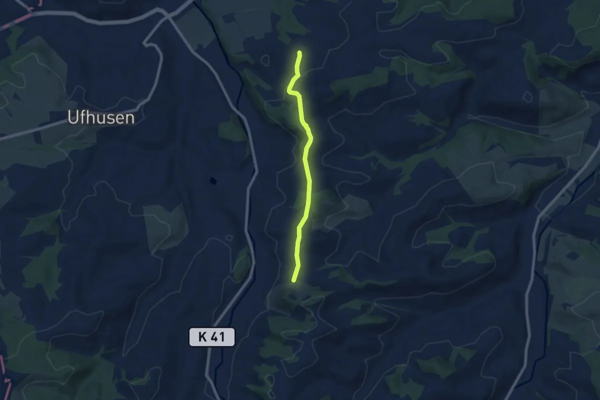
Easy · Trail
Bösegg – Oberwil
5.8 km · ↑ 117 m · 1 h 37 min · 15 km away
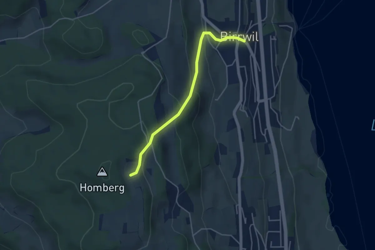
Easy · Trail
Birrwil – Oberer Flügelberg
3.5 km · ↑ 220 m · 1 h 18 min · 15 km away
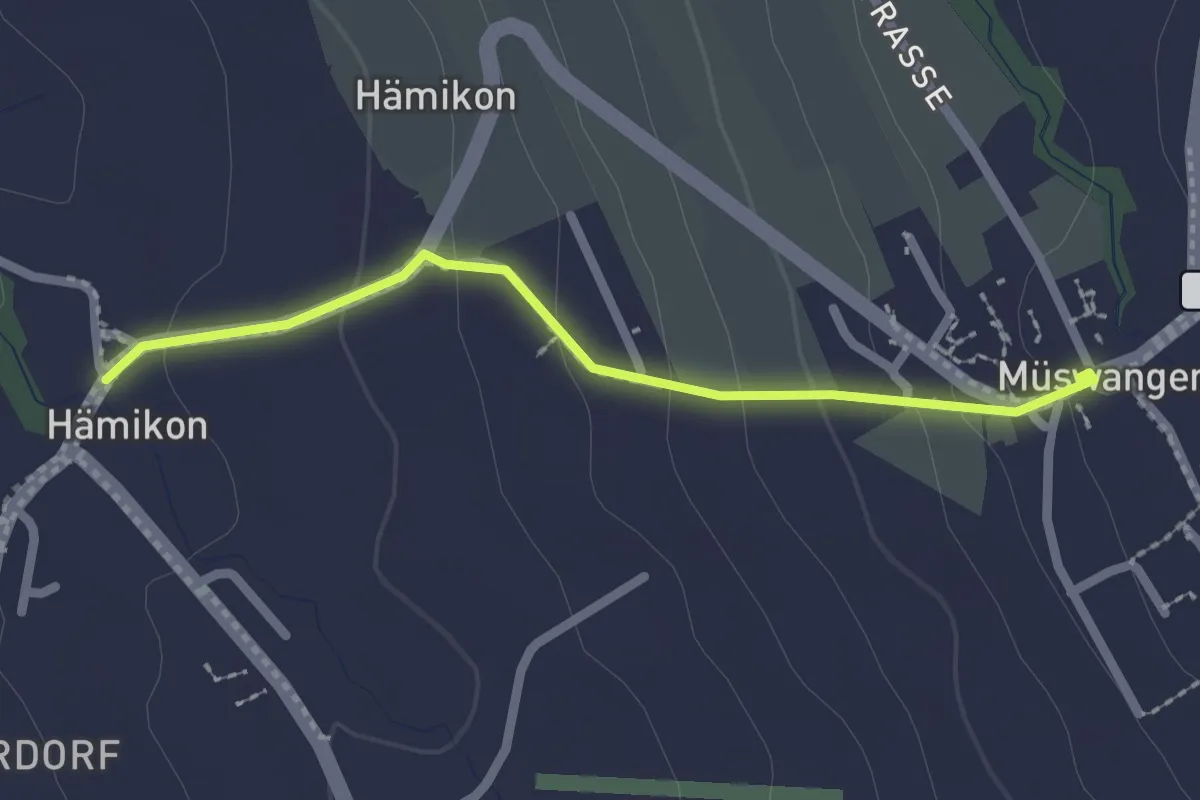
Easy · Trail
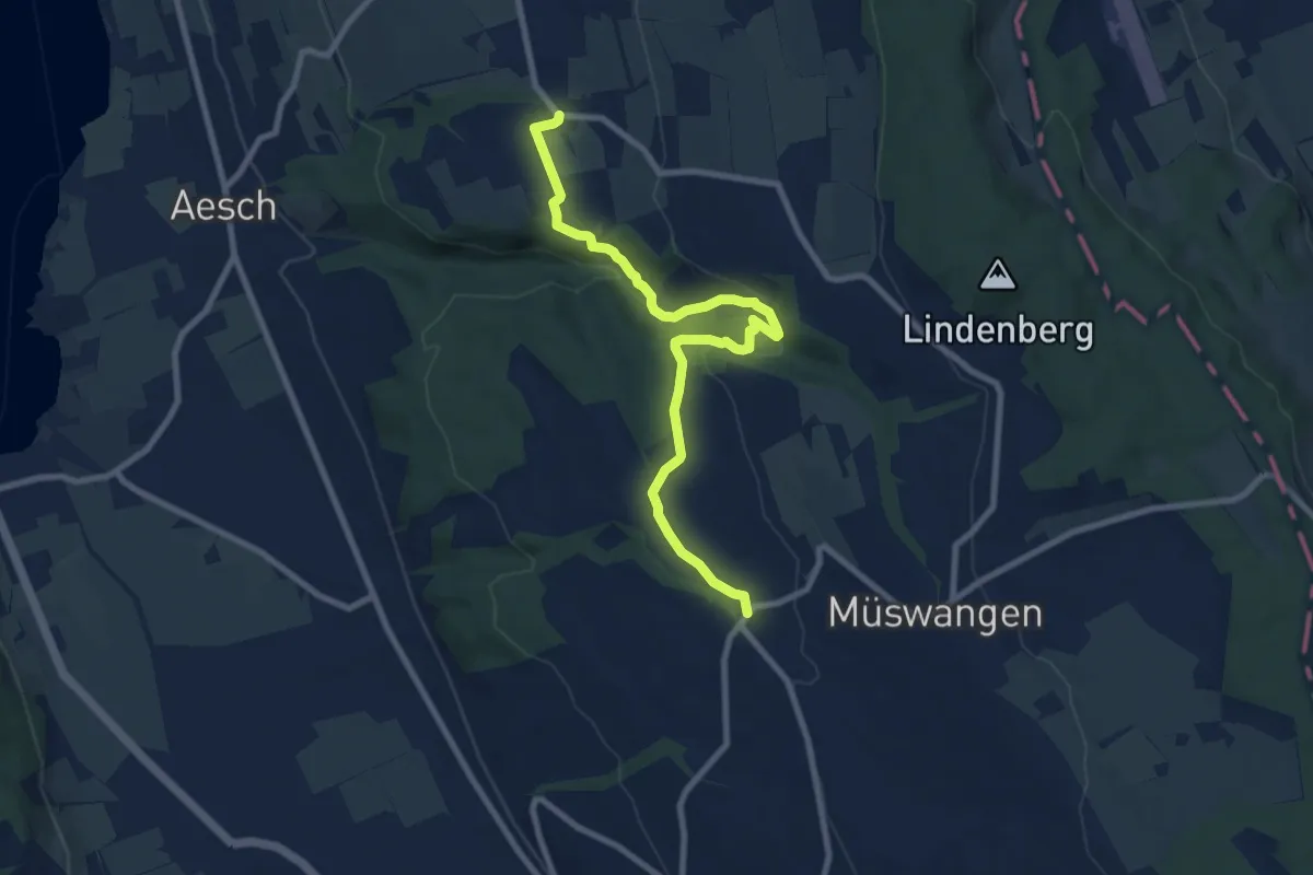
Hämikon - Müswangen
2.1 km · ↑ 96 m · 42 min · 15 km away
Medium · Trail
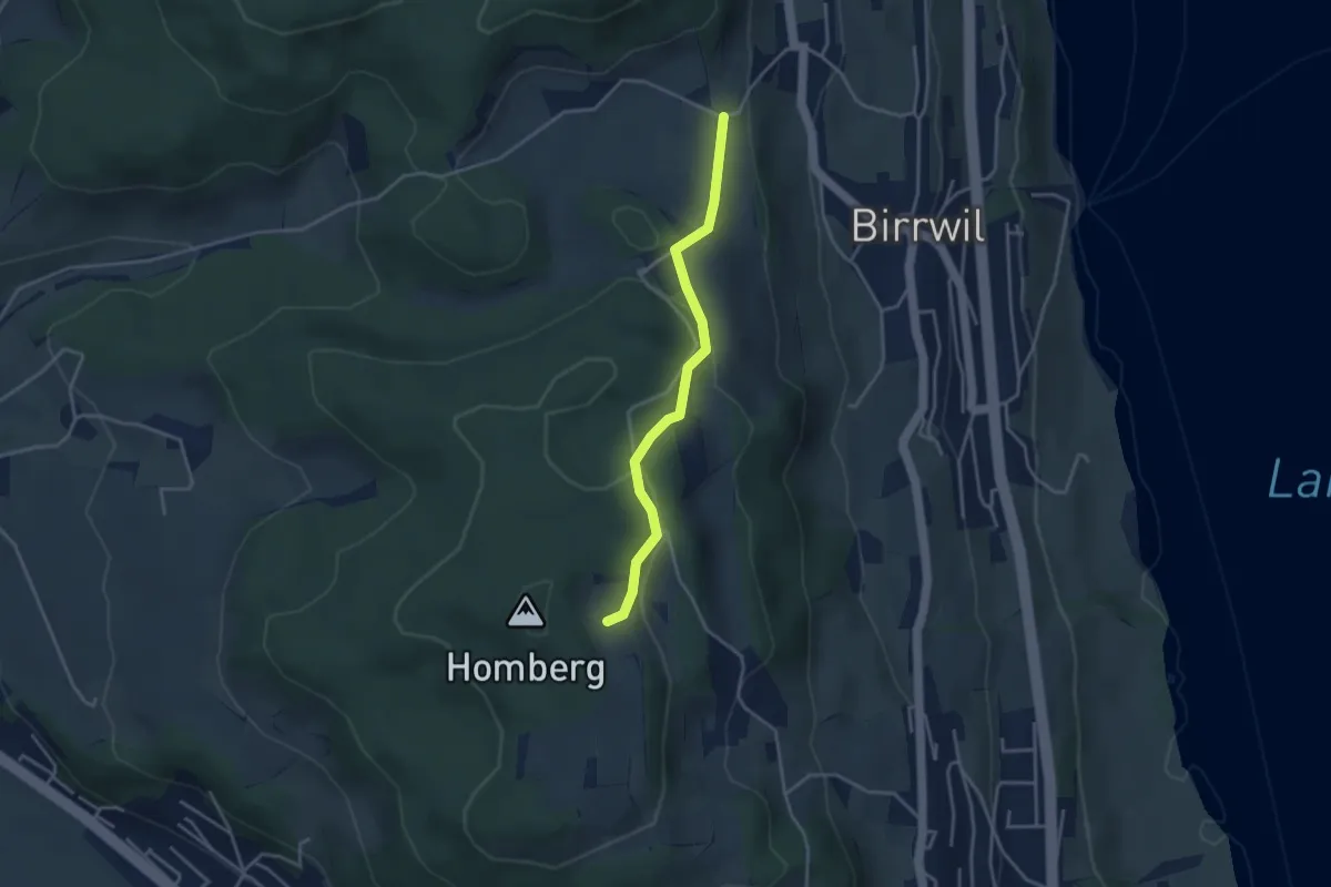
Rüediken - Hämikon
9.2 km · ↑ 233 m · 2 h 41 min · 15 km away
Easy · Trail
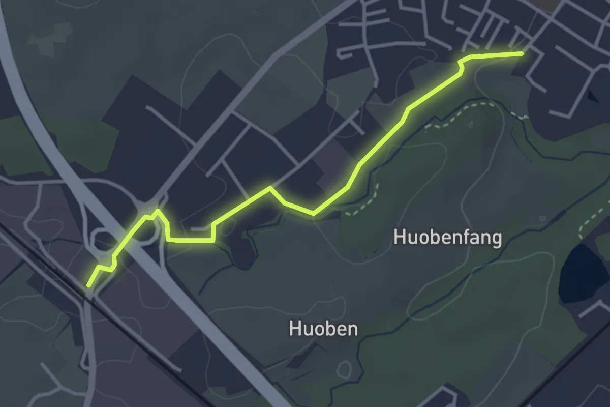
Birrwil Uf Berg – Oberer Flügelberg
3.4 km · ↑ 108 m · 1 h 2 min · 15 km away
Easy · Trail
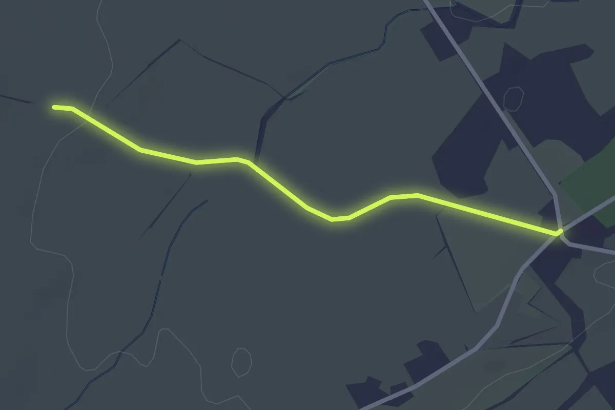
Rothenburg Station - Huobenfangstrasse
3.3 km · ↑ 22 m · 50 min · 15 km away
Easy · Trail
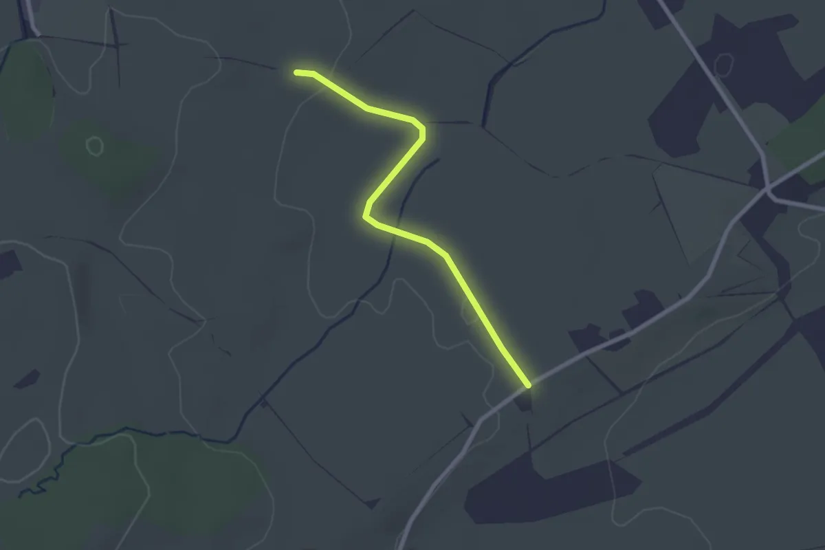
Im Spitz-Schwand
2.3 km · ↑ 20 m · 36 min · 15 km away
Easy · Trail
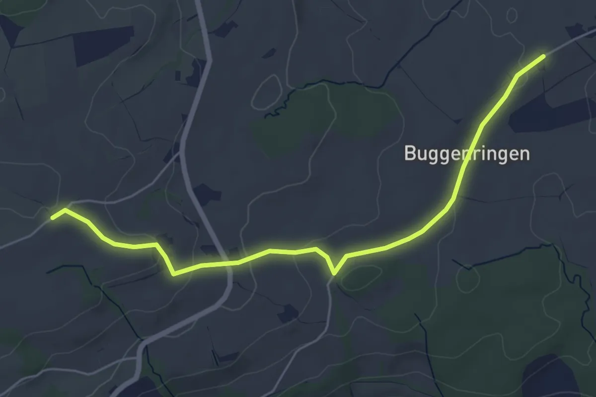
Spitzhof-Schwand
2.3 km · ↑ 14 m · 34 min · 15 km away
Easy · Trail
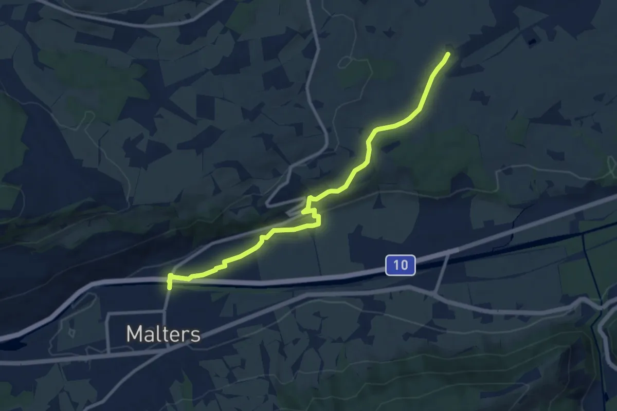
Spitzhof - Zinggen
5.4 km · ↑ 101 m · 1 h 30 min · 15 km away
Medium · Trail
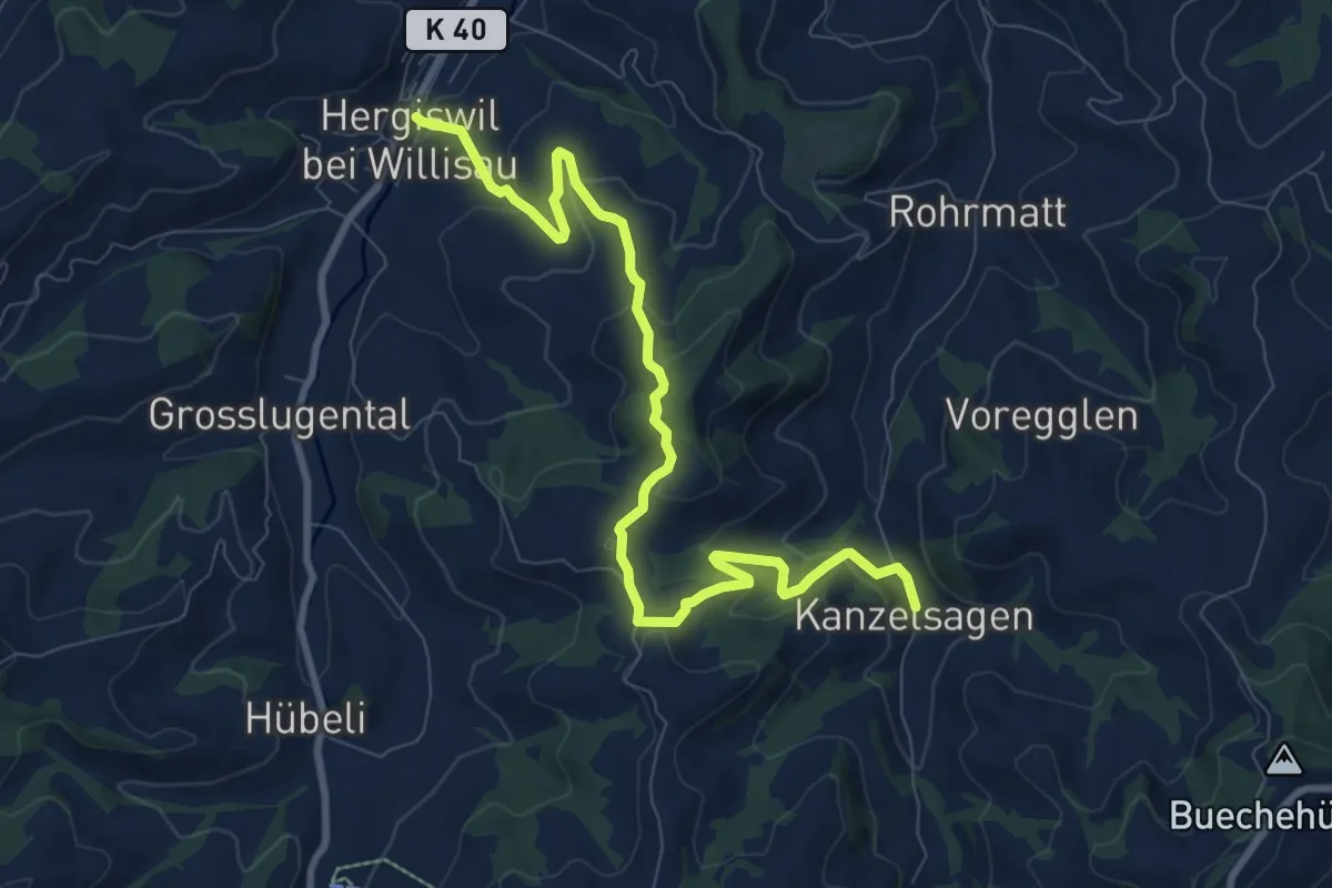
Moos – Malters
9.0 km · ↑ 130 m · 2 h 24 min · 15 km away
Medium · Trail
Chanzelsagen - Hergiswil
9.8 km · ↑ 419 m · 3 h 13 min · 15 km away
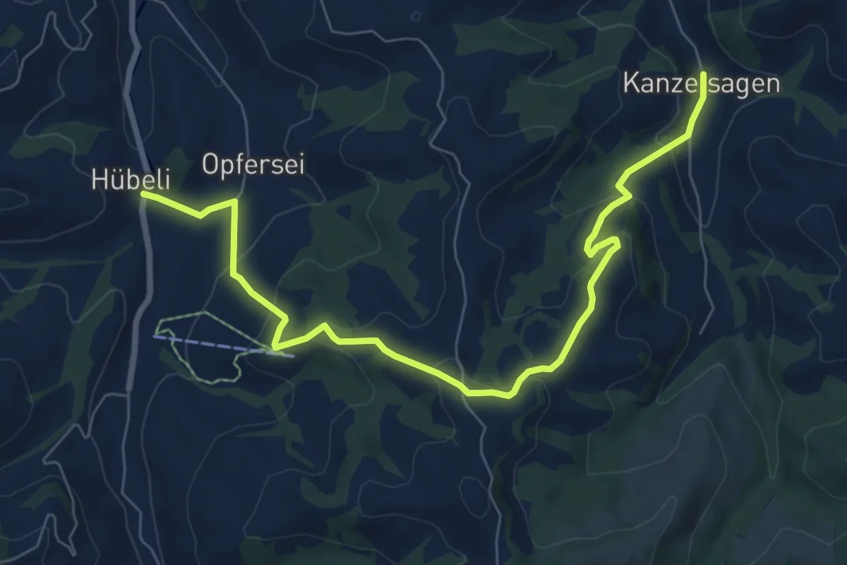
Medium · Trail
Chanzelsagen - Hübeli
8.1 km · ↑ 390 m · 2 h 45 min · 15 km away
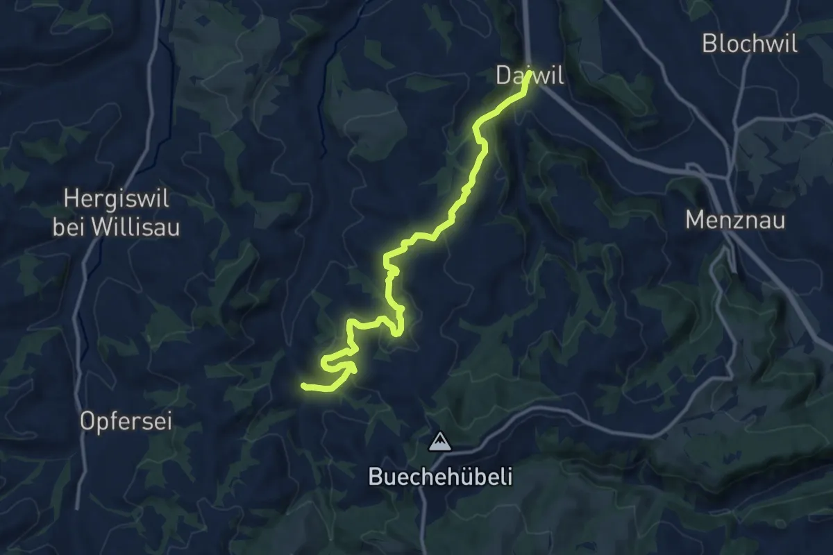
Medium · Trail
Chanzelsagen - Daiwil
12.3 km · ↑ 583 m · 4 h 11 min · 15 km away
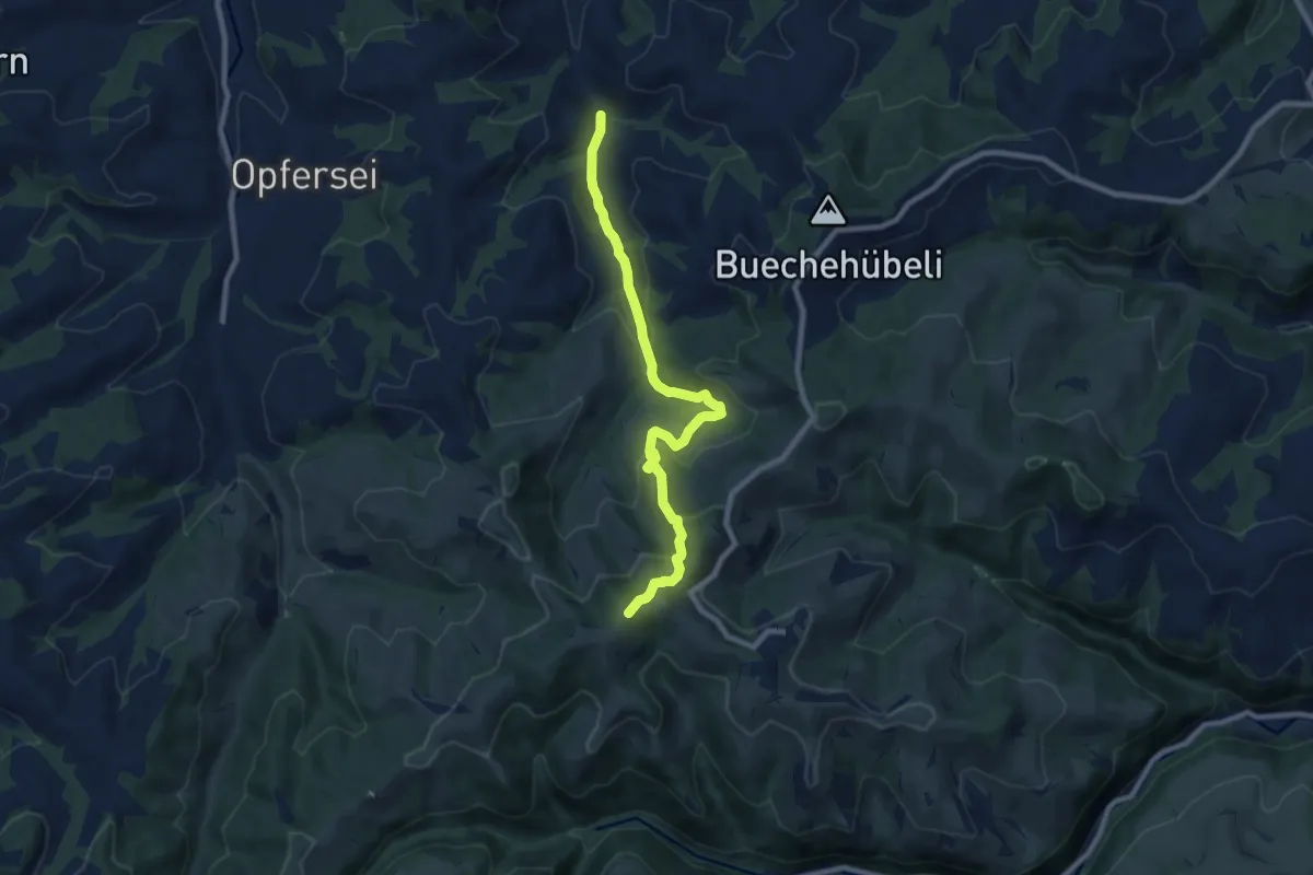
Medium · Summit
Chanzelsagen - Oberlehn
8.5 km · ↑ 415 m · 2 h 54 min · 15 km away
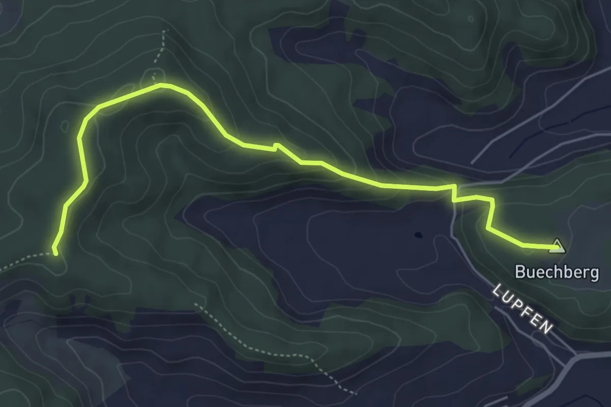
Easy · Summit
Guggerhöchi – Buechberg
5.5 km · ↑ 244 m · 1 h 49 min · 15 km away
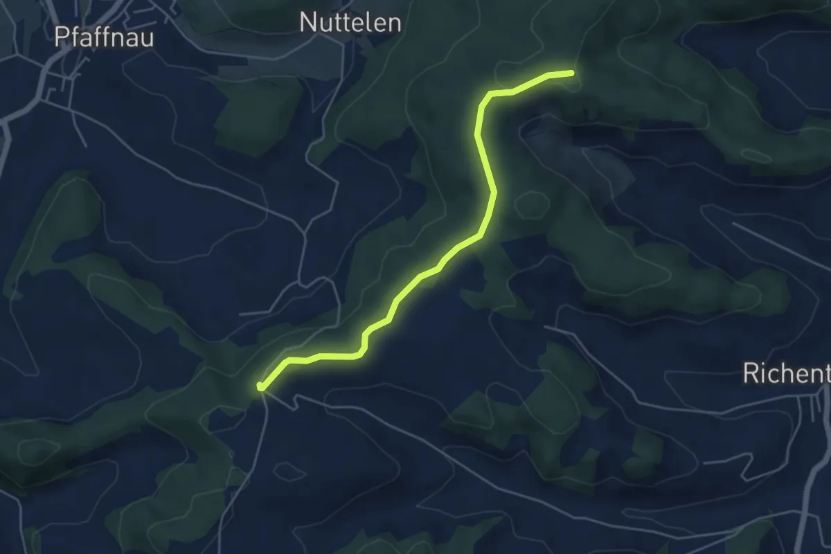
Easy · Trail
Guggerhöchi – Äberdingen
4.7 km · ↑ 46 m · 1 h 13 min · 15 km away
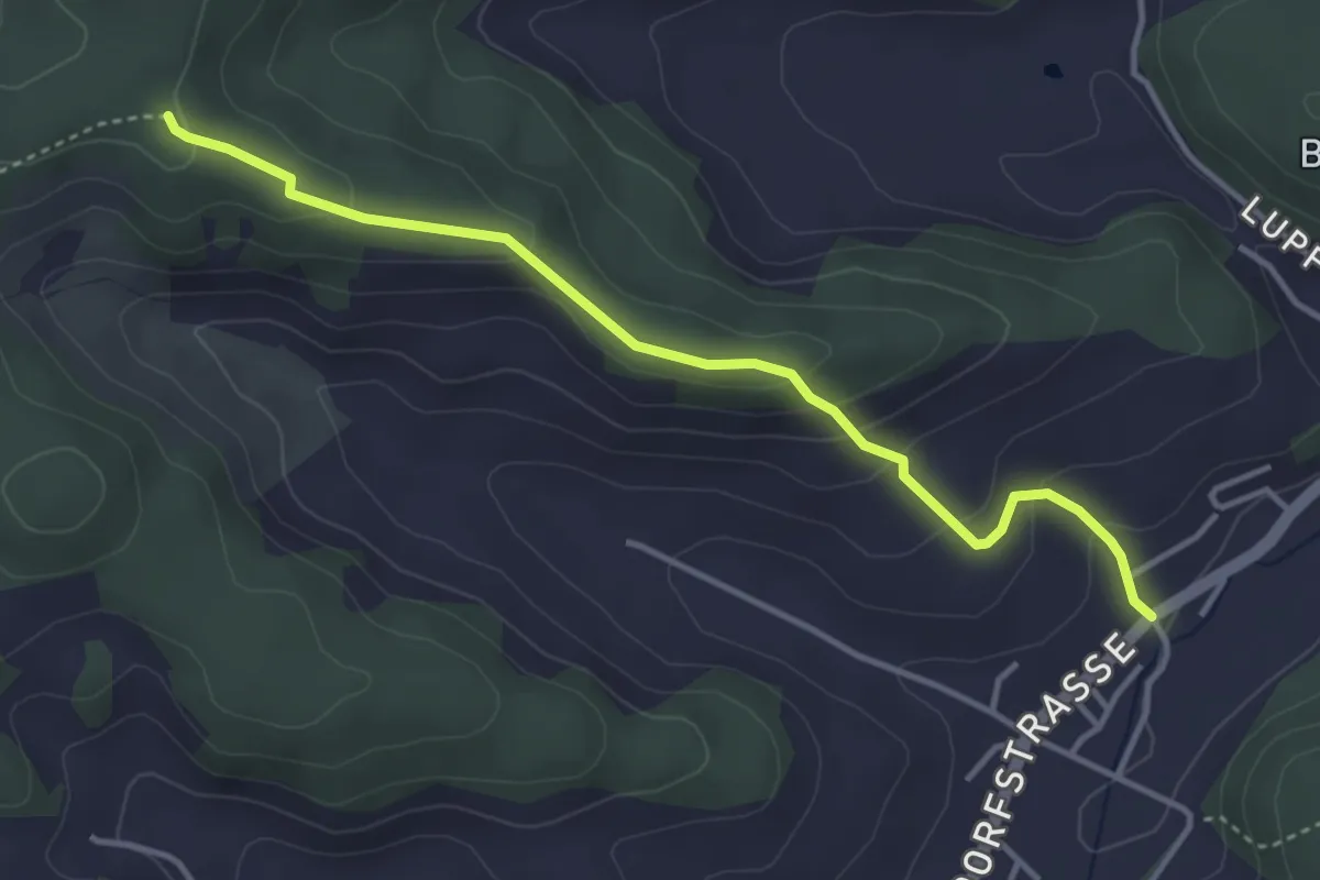
Easy · Trail
Richenthal – Guggerhöchi
3.9 km · ↑ 196 m · 1 h 20 min · 15 km away
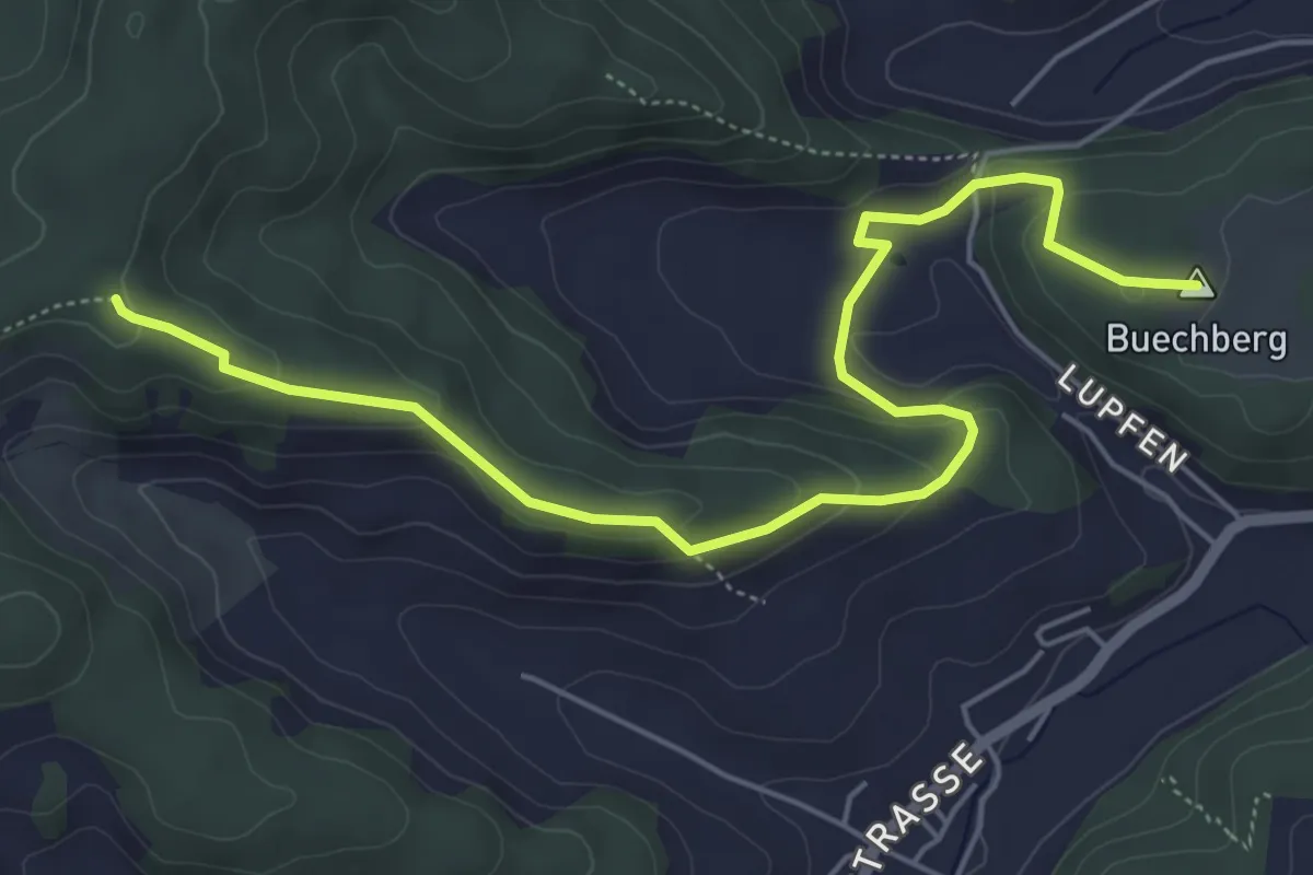
Easy · Summit
Buechberg – Guggerhöchi
6.2 km · ↑ 229 m · 1 h 58 min · 15 km away
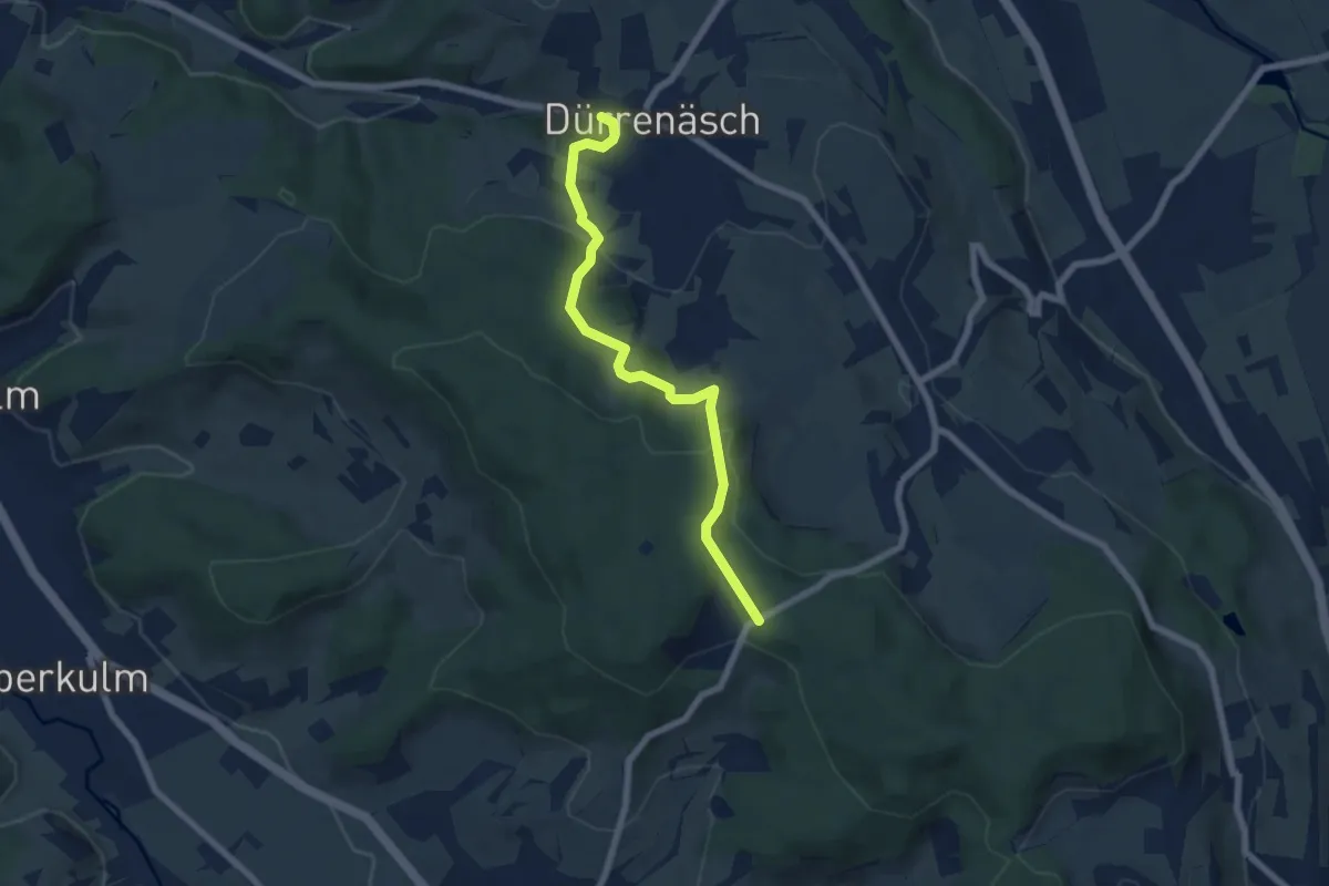
Easy · Trail
Wampfle – Dürrenäsch
6.4 km · ↑ 223 m · 1 h 59 min · 15 km away
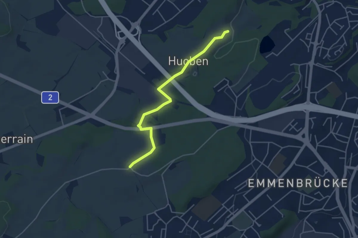
Easy · Trail
Huobenfang - Büelmatt
4.0 km · ↑ 18 m · 58 min · 15 km away
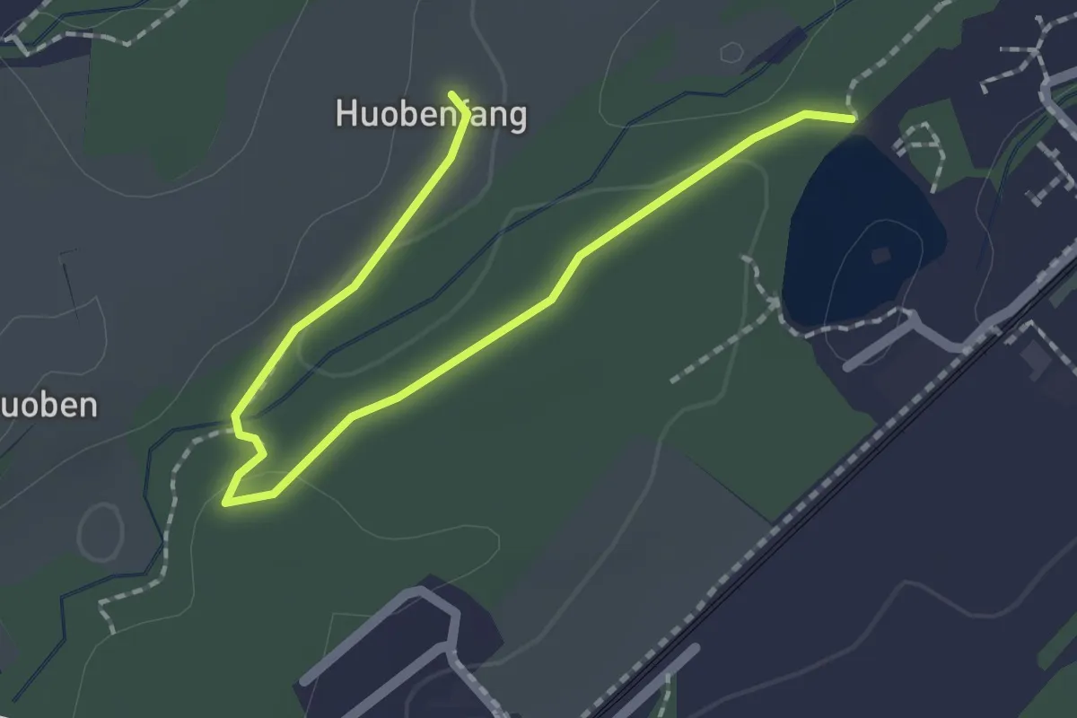
Easy · Trail
Huobenfang - Riffigweier
2.2 km · ↑ 27 m · 35 min · 15 km away