Trails near Vevey
39 hikes starting within 15 km, nearest first.
Nearest first
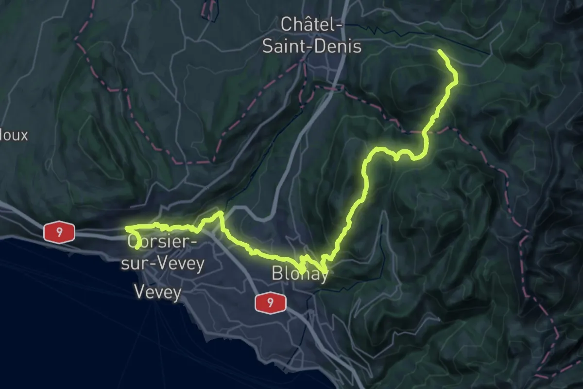
Demanding · Trail
Chemin panorama alpin
19.2 km · ↑ 1179 m · 7 h 3 min · 1 km away
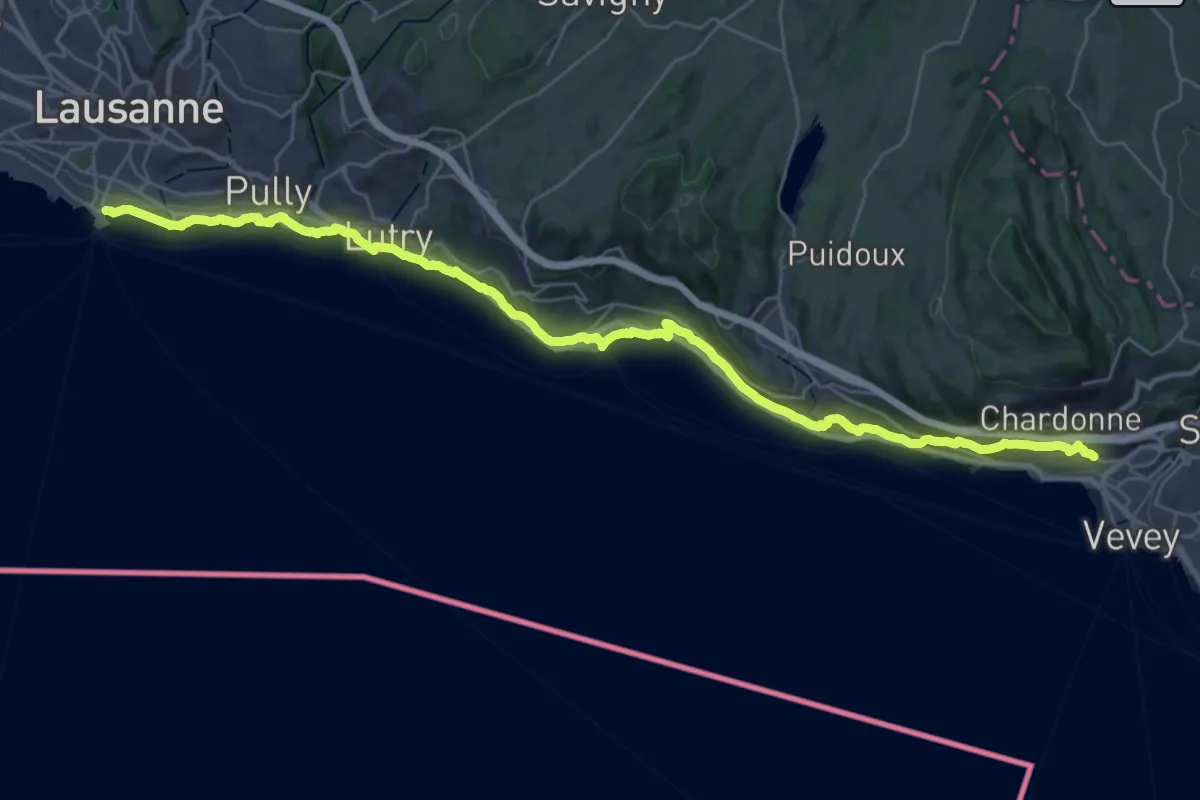
Demanding · Trail
Chemin panorama alpin
18.8 km · ↑ 305 m · 5 h 23 min · 1 km away
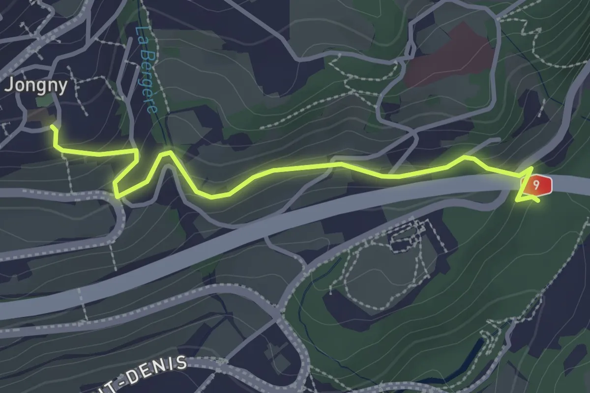
Easy · Trail
Jongy – Pont de Fenil
2.9 km · ↑ 141 m · 1 h · 2 km away
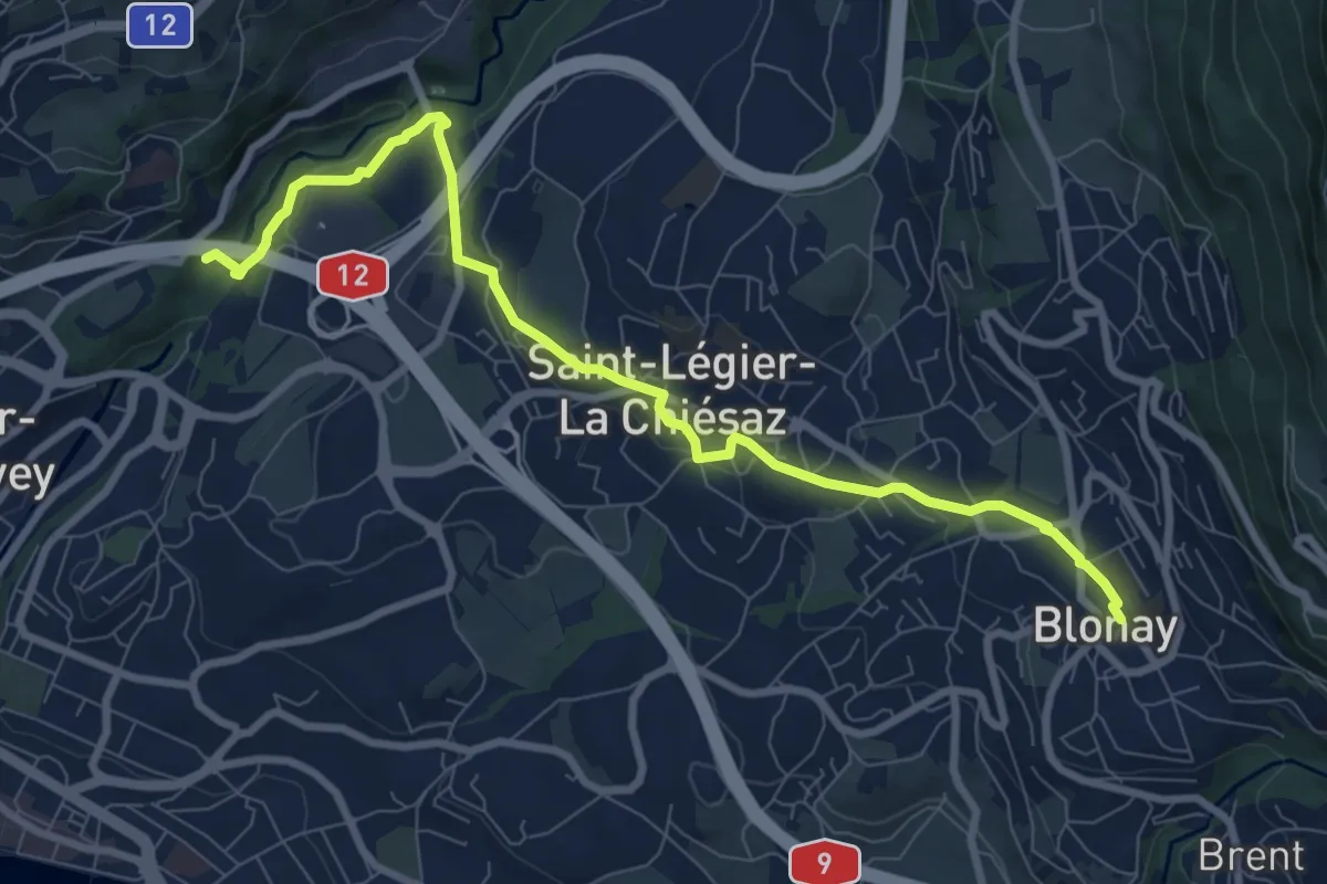
Medium · Trail
Pont de Fenil – Blonay
9.2 km · ↑ 230 m · 2 h 40 min · 4 km away
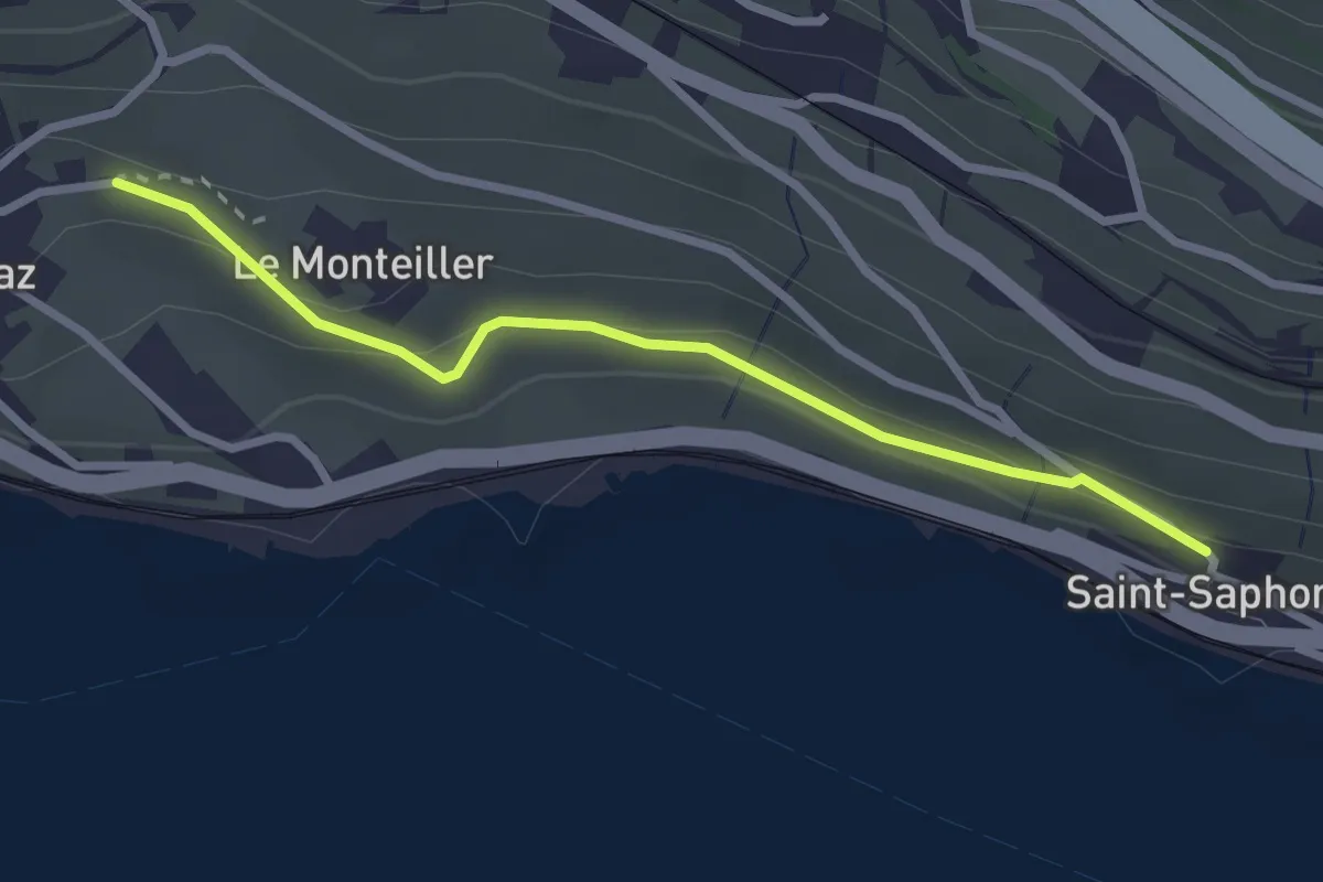
Easy · Trail
St-Saphorin - Rivaz
2.6 km · ↑ 101 m · 51 min · 5 km away
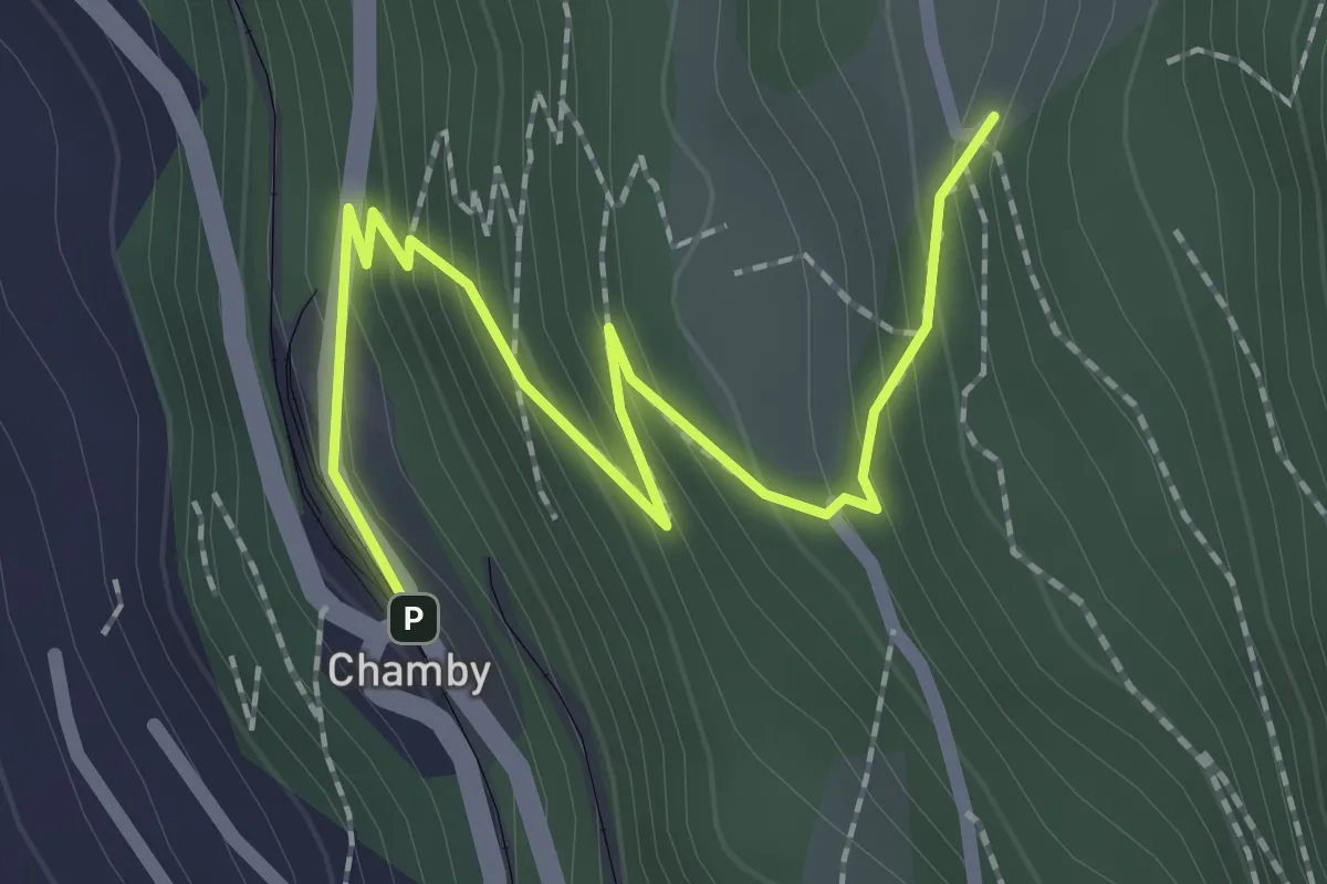
Easy · Trail
Chamby gare – Cubly Dessous
2.4 km · ↑ 206 m · 1 h 1 min · 6 km away
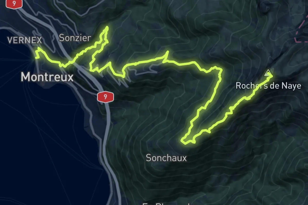
Demanding · Summit
Via Alpina
26.6 km · ↑ 2058 m · 10 h 44 min · 6 km away
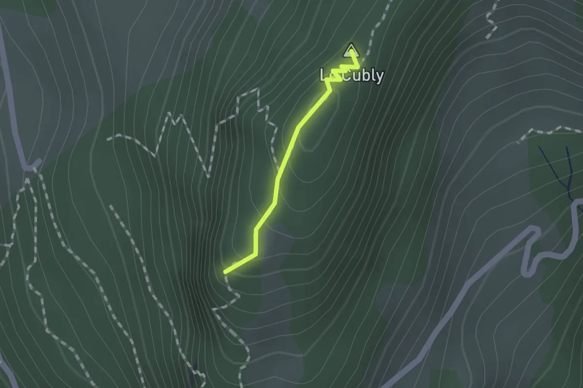
Easy · Summit
Sonloup funi – Le Cubly belvédère
0.9 km · ↑ 69 m · 22 min · 6 km away
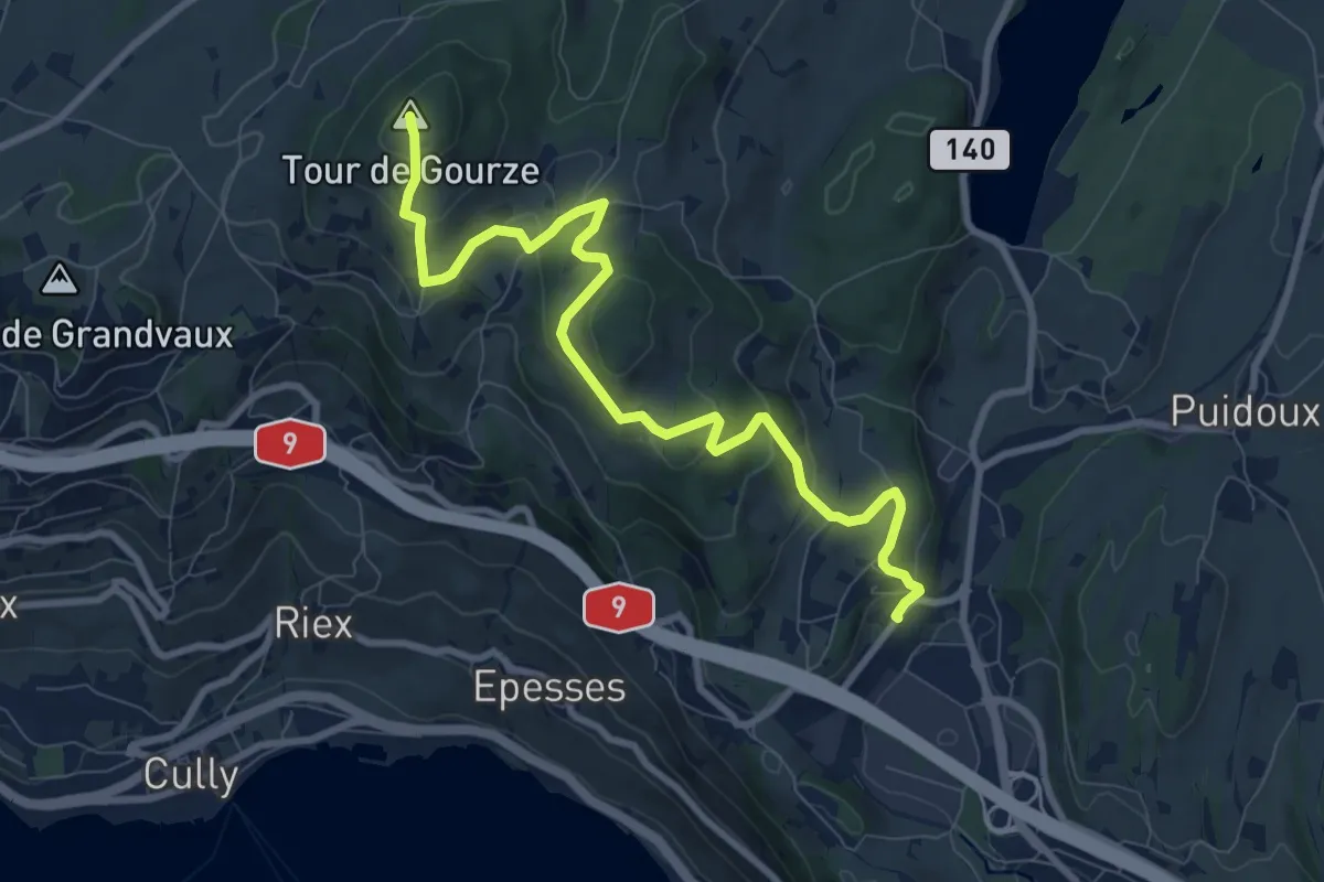
Medium · Summit
Tour de Gourze – Puidoux gare
9.6 km · ↑ 384 m · 3 h 6 min · 7 km away
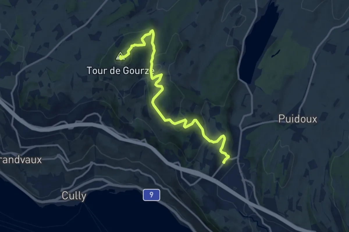
Medium · Summit
Puidoux gare – Tour de Gourze
10.7 km · ↑ 387 m · 3 h 21 min · 7 km away
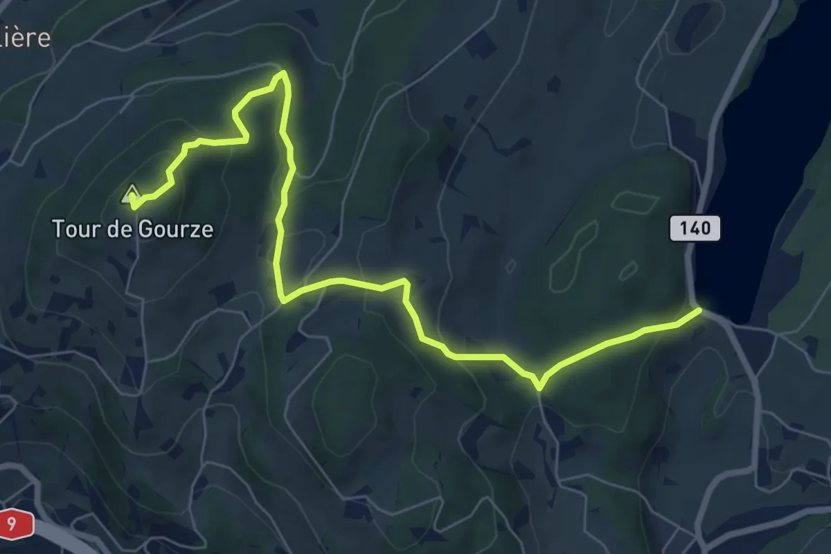
Easy · Summit
Tour de Gourze – Lac de Bret
7.6 km · ↑ 312 m · 2 h 29 min · 8 km away
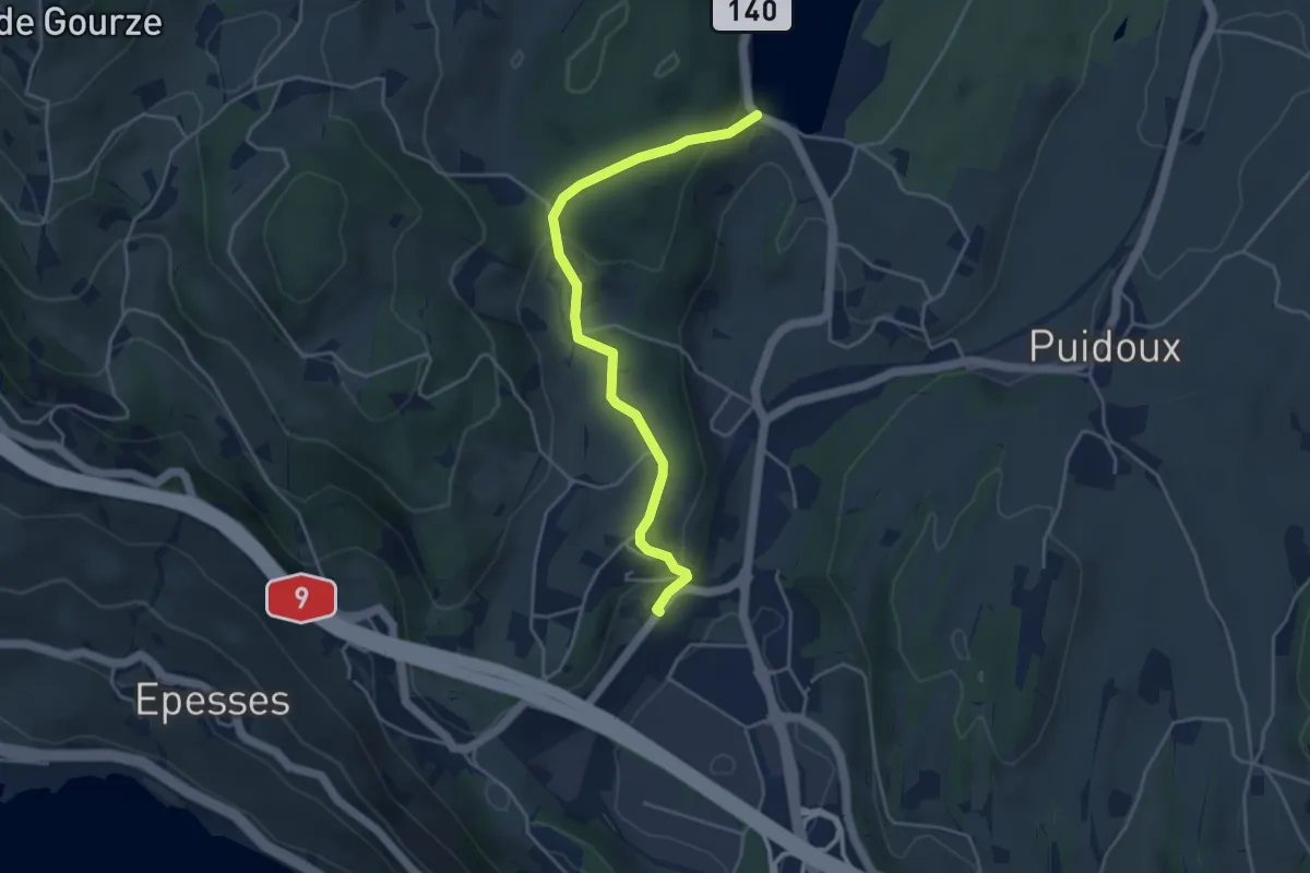
Easy · Trail
Puidoux gare – Lac de Bret
4.3 km · ↑ 157 m · 1 h 22 min · 8 km away
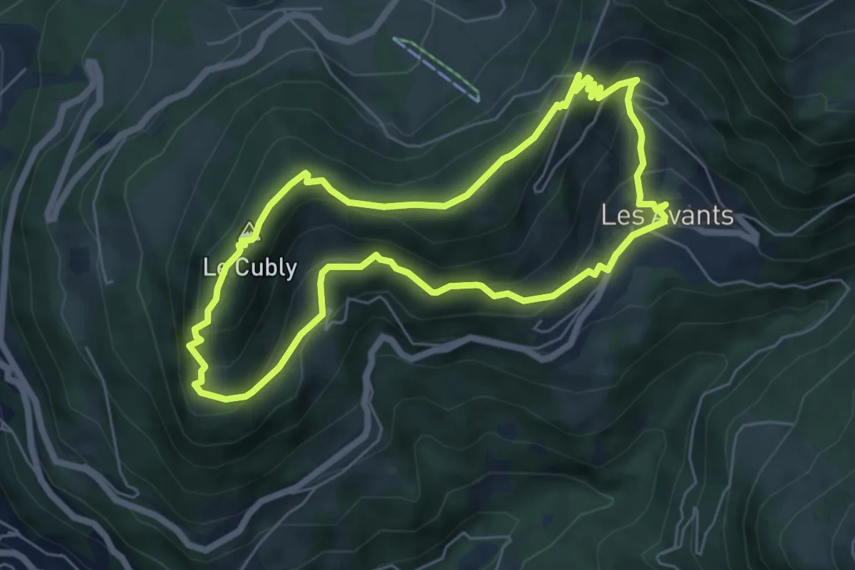
Medium · Summit
Chemin des Narcisses
5.5 km · ↑ 363 m · 2 h 10 min · 8 km away
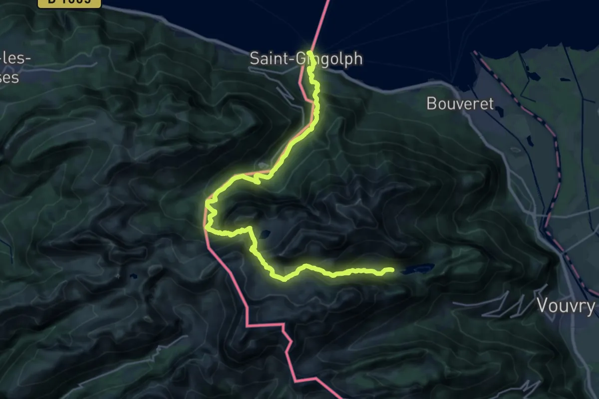
Demanding · Cabin
43-Chemin des cols alpins
13.7 km · ↑ 1654 m · 6 h 29 min · 8 km away
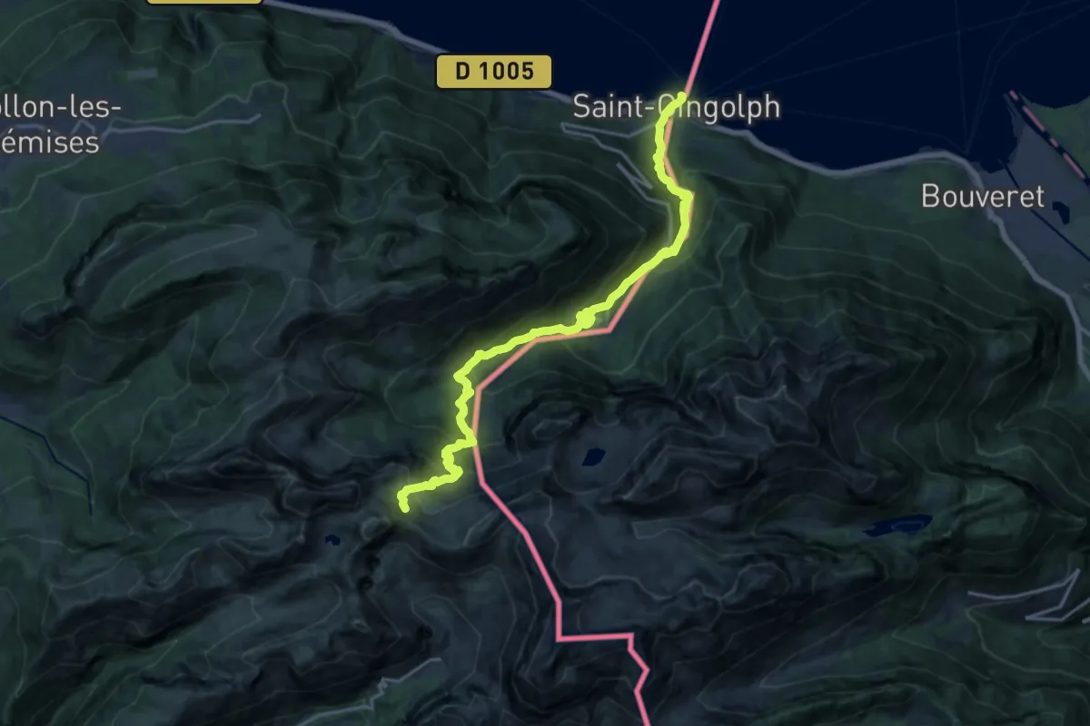
Demanding · Trail
Saint-Gingolph – La Montagne de Neuteu
9.7 km · ↑ 1539 m · 5 h 2 min · 8 km away
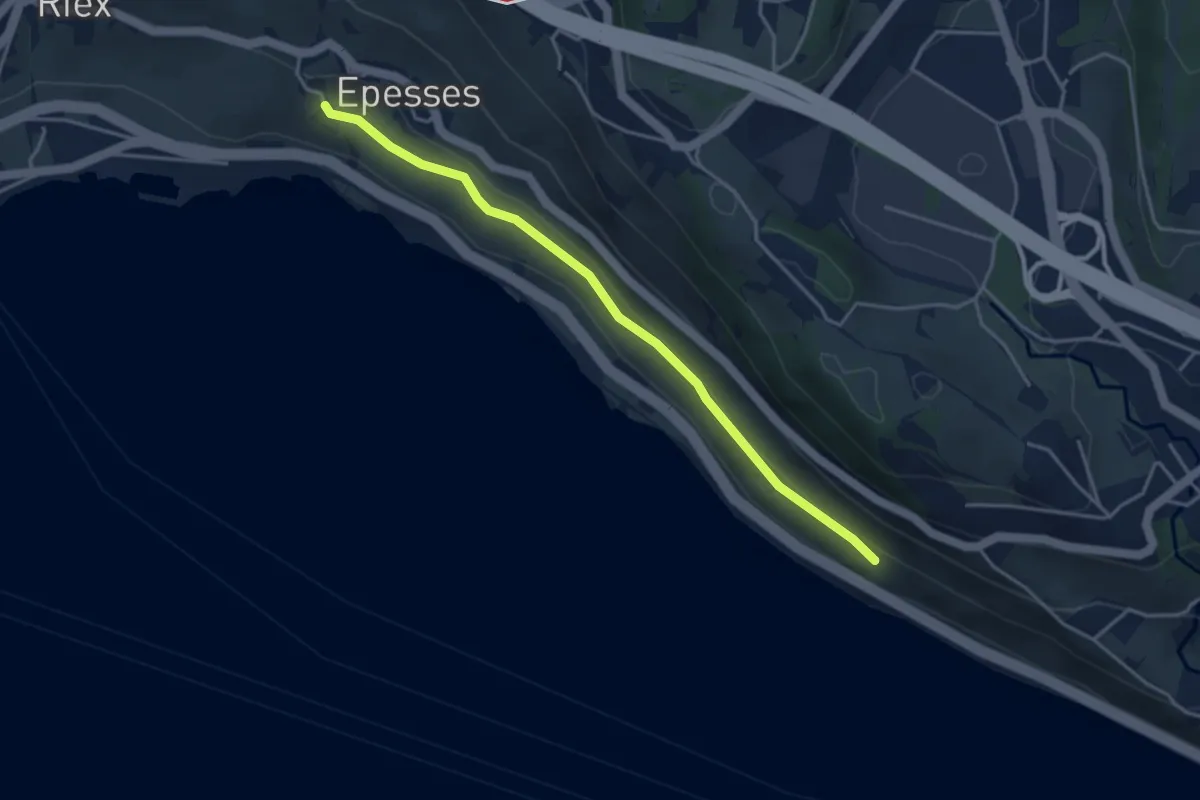
Easy · Trail
Les Abbayes - Epesses
3.9 km · ↑ 75 m · 1 h 6 min · 8 km away
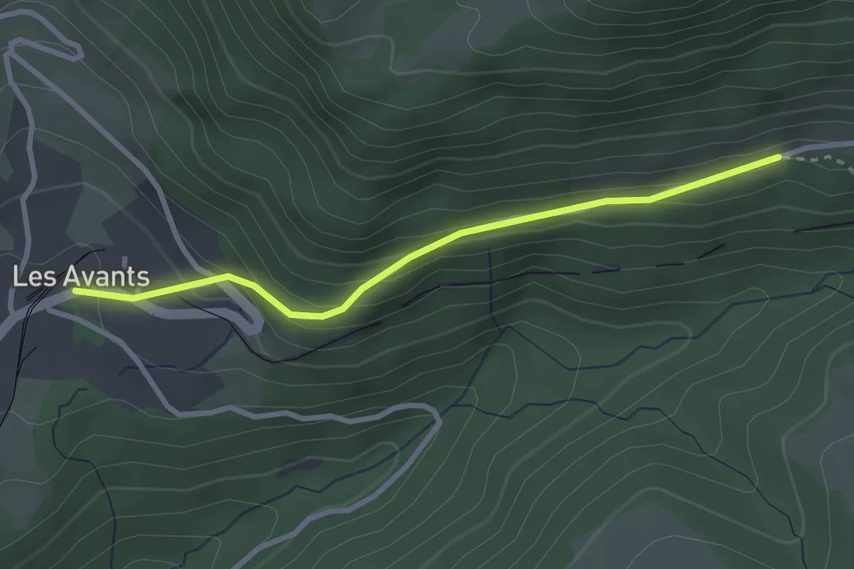
Easy · Trail
Les Avants – Jor
2.7 km · ↑ 181 m · 1 h 1 min · 9 km away
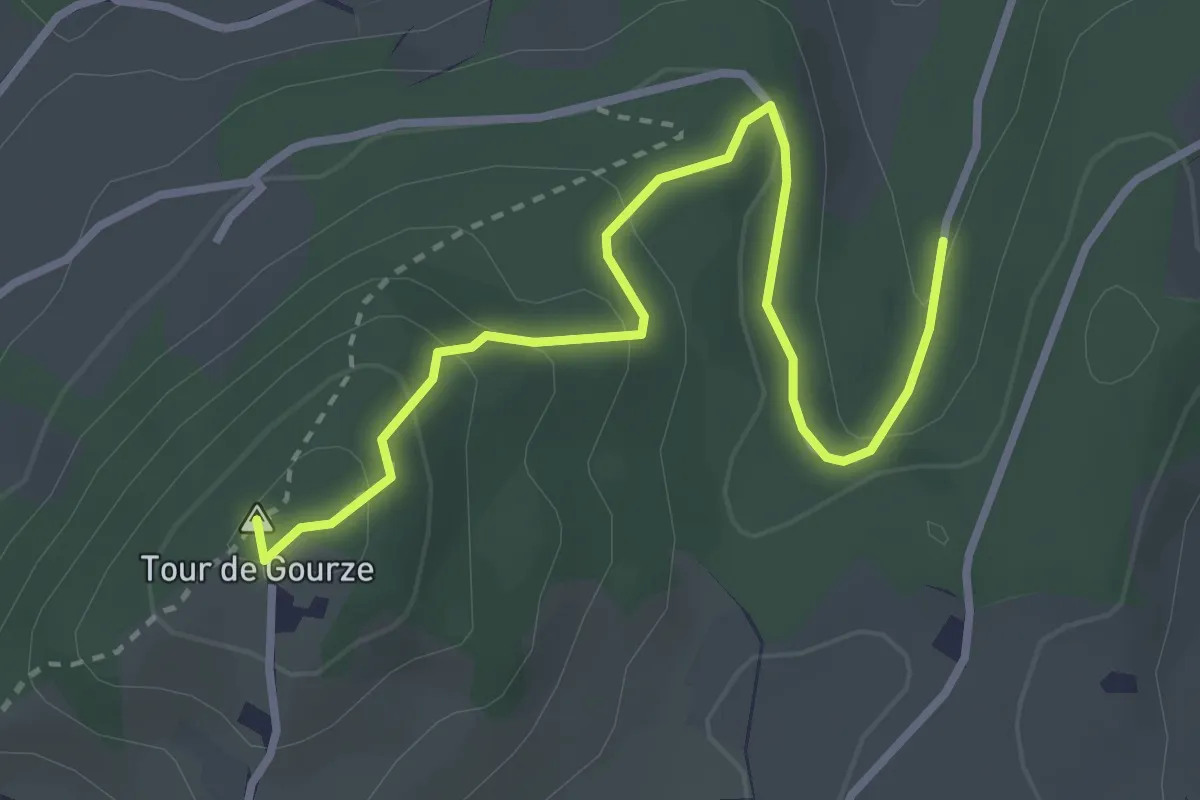
Easy · Summit
Tour de Gourze – Forel Cornes de Cerf
3.4 km · ↑ 158 m · 1 h 9 min · 9 km away
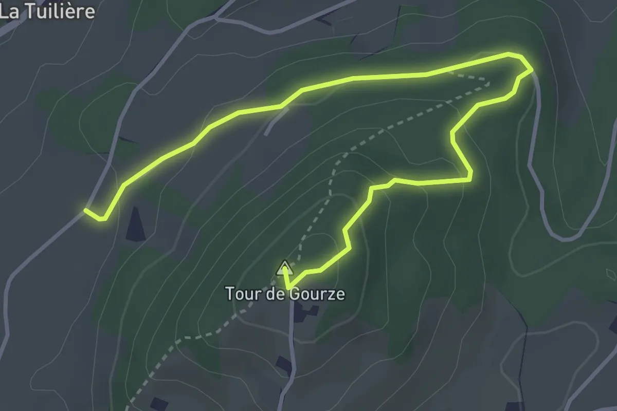
Easy · Summit
Tour de Gourze – Belmont-sur-Lausanne
4.3 km · ↑ 165 m · 1 h 23 min · 10 km away
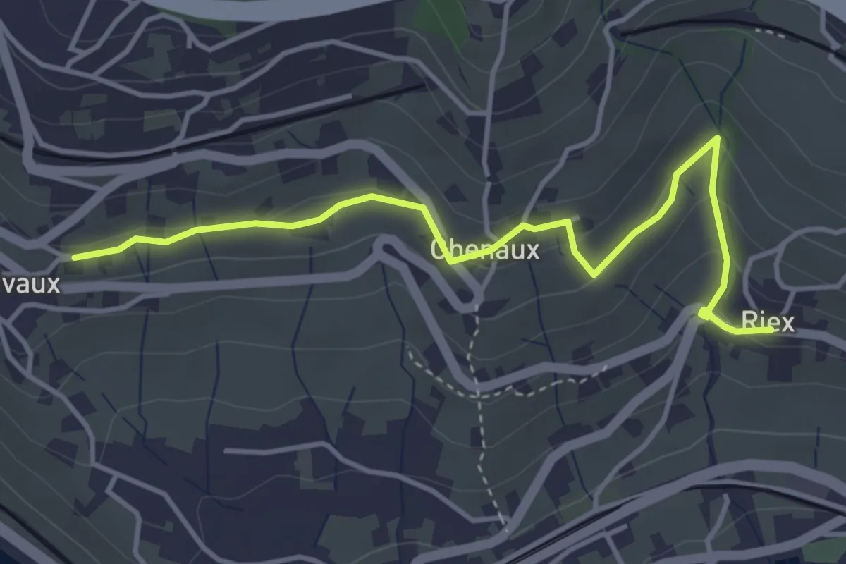
Easy · Trail
Riex - Grandvaux
4.2 km · ↑ 151 m · 1 h 19 min · 10 km away
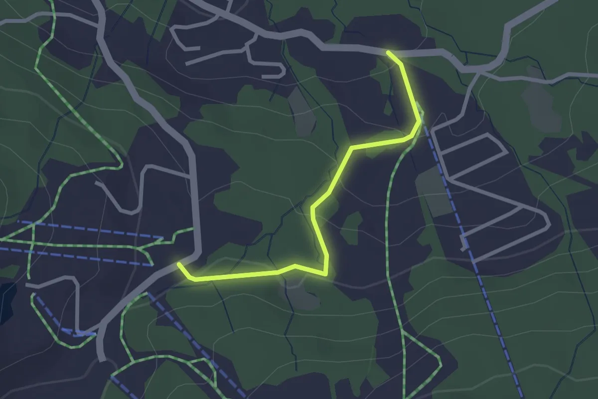
Easy · Trail
Sentier panoramique des Paccots
1.1 km · ↑ 10 m · 20 min · 10 km away
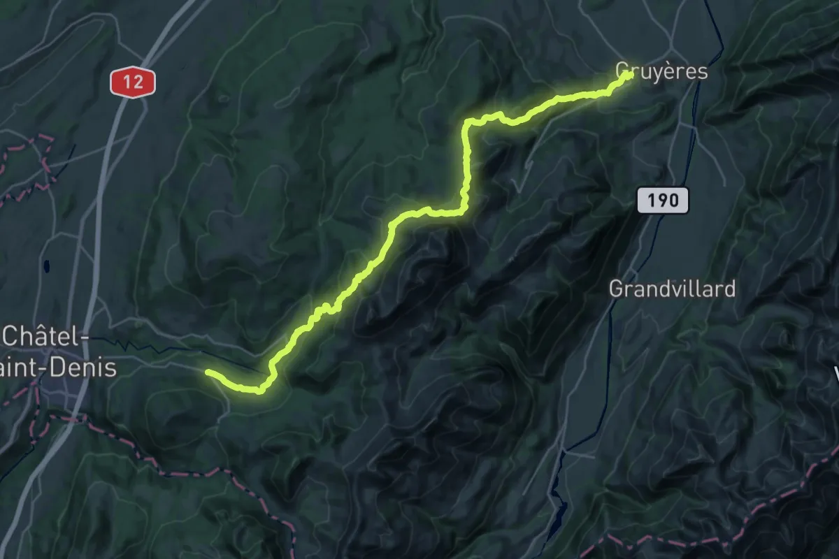
Medium · Trail
Chemin panorama alpin
15.7 km · ↑ 580 m · 5 h 21 min · 11 km away
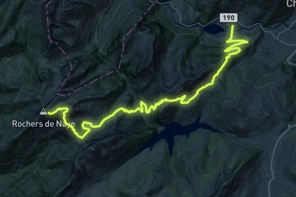
Demanding · Trail
Via Alpina
18.7 km · ↑ 754 m · 6 h 50 min · 11 km away
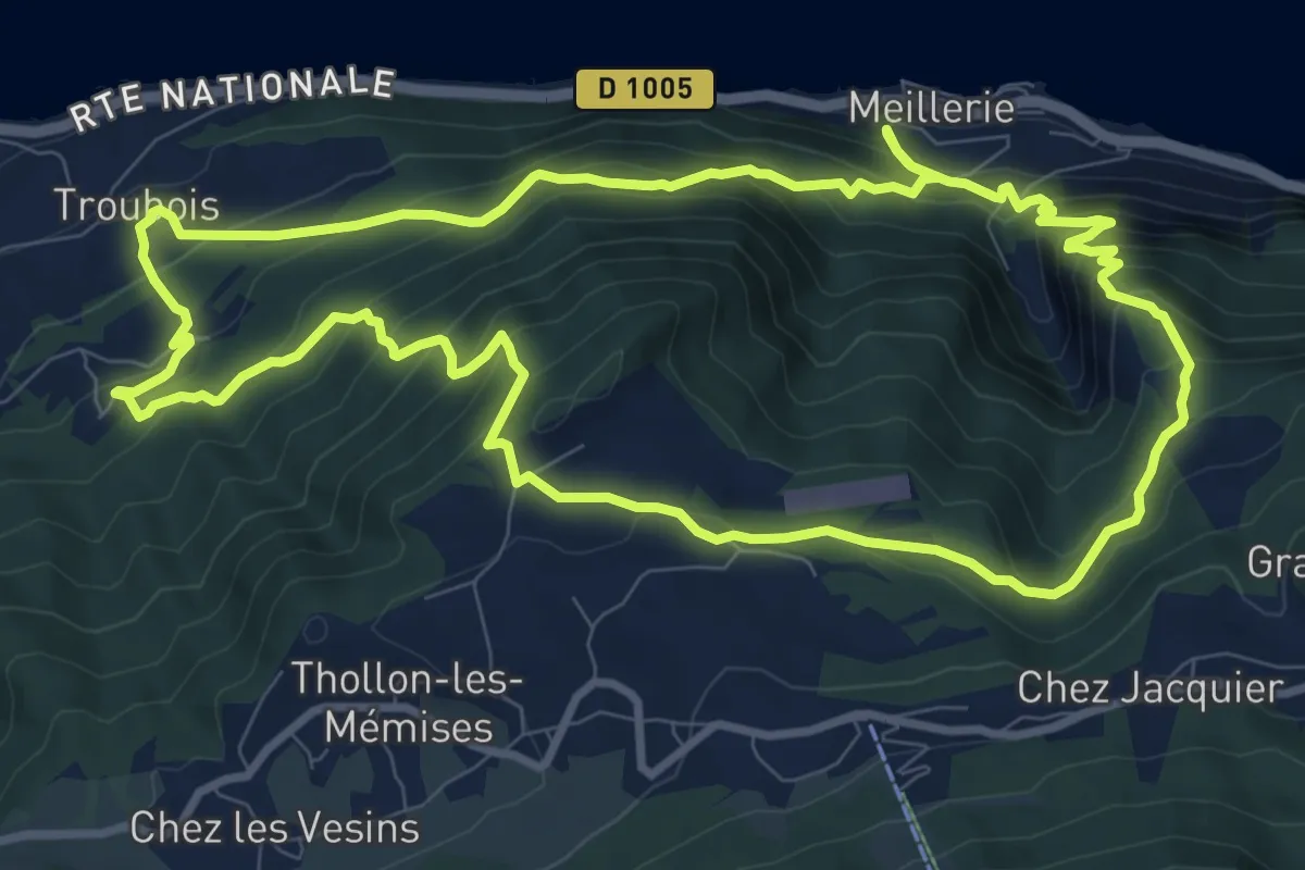
Medium · Summit
Boucle des Carriers
10.2 km · ↑ 795 m · 4 h 16 min · 11 km away
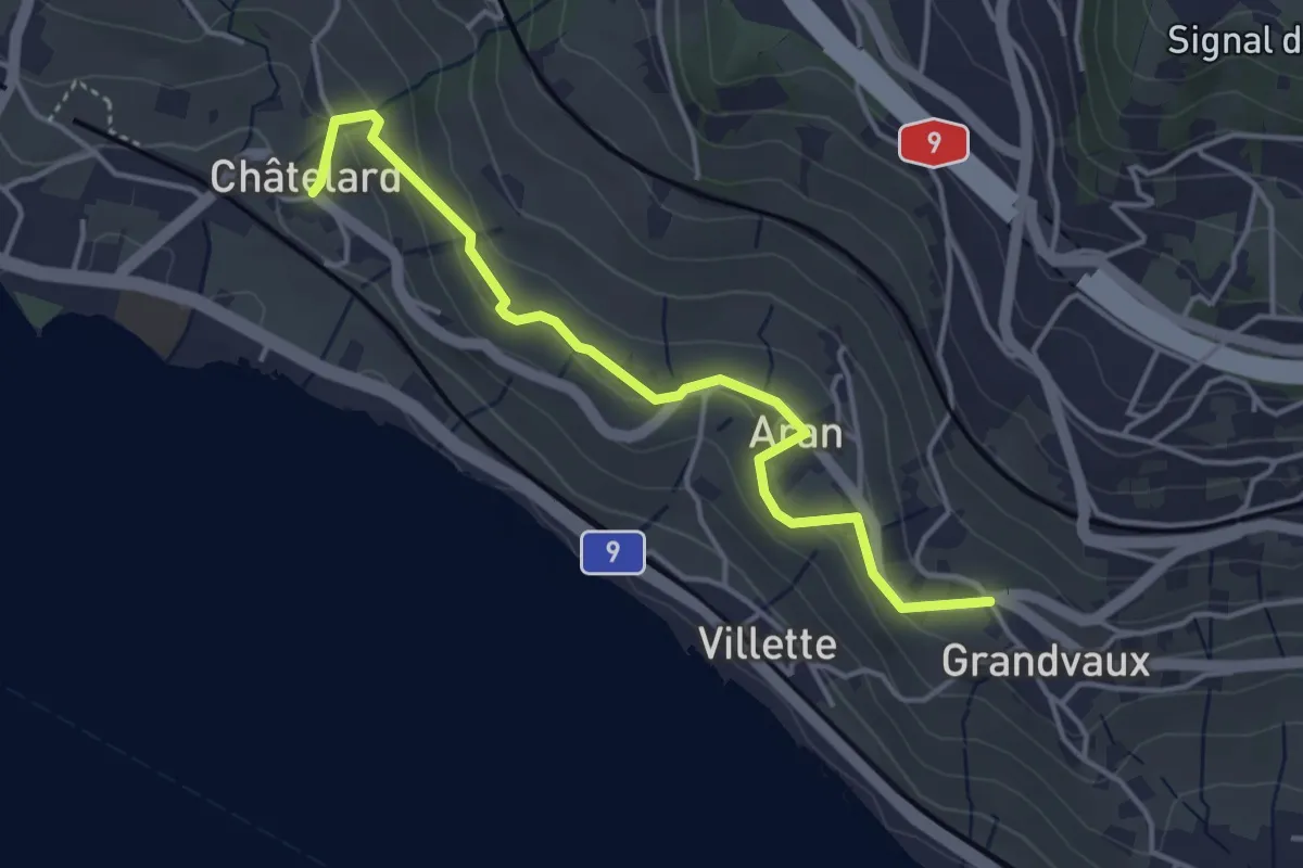
Easy · Trail
Grandvaux - Châtelard
4.1 km · ↑ 152 m · 1 h 18 min · 12 km away
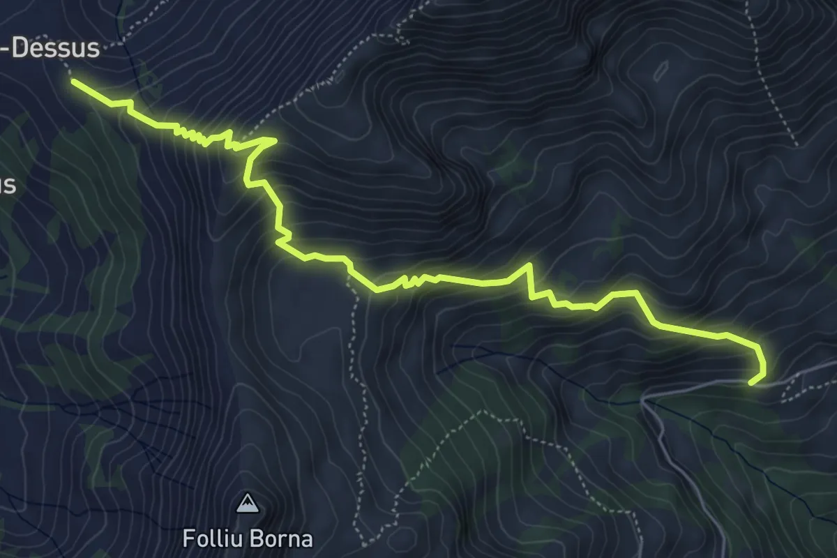
Medium · Trail
Paccot-Dessus – Chenalette
6.5 km · ↑ 678 m · 3 h · 12 km away
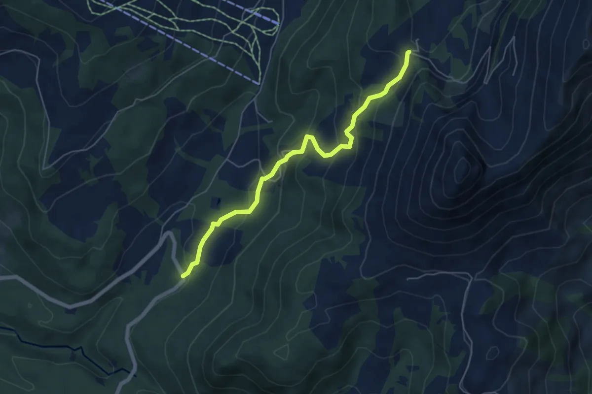
Medium · Trail
Les Pueys – Le Villard-Dessus
5.3 km · ↑ 331 m · 1 h 57 min · 12 km away
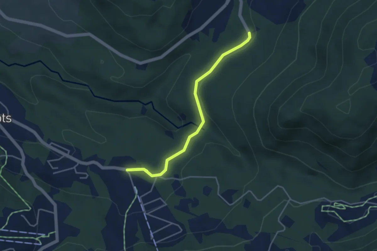
Easy · Trail
Les Rosalys – Les Pueys
3.4 km · ↑ 107 m · 1 h 3 min · 12 km away
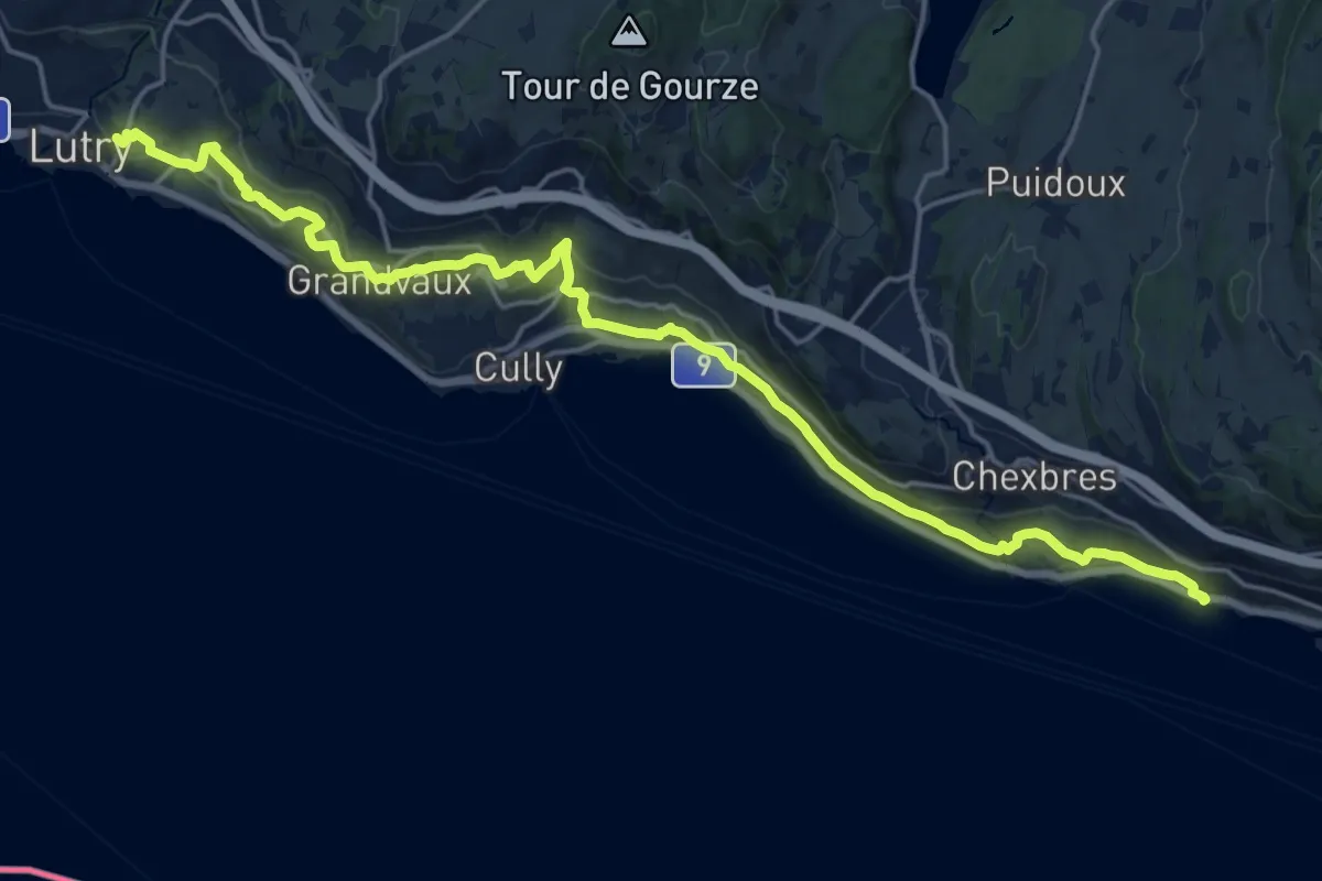
Demanding · Trail
Terasses de Lavaux
22.3 km · ↑ 788 m · 6 h 58 min · 13 km away
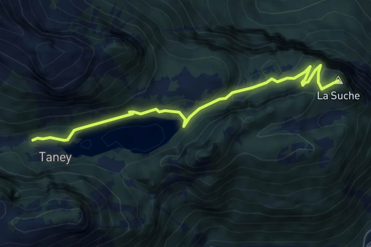
Easy · Summit
Miex-Lac de Taney (via Prélagine)
6.0 km · ↑ 315 m · 2 h 7 min · 13 km away
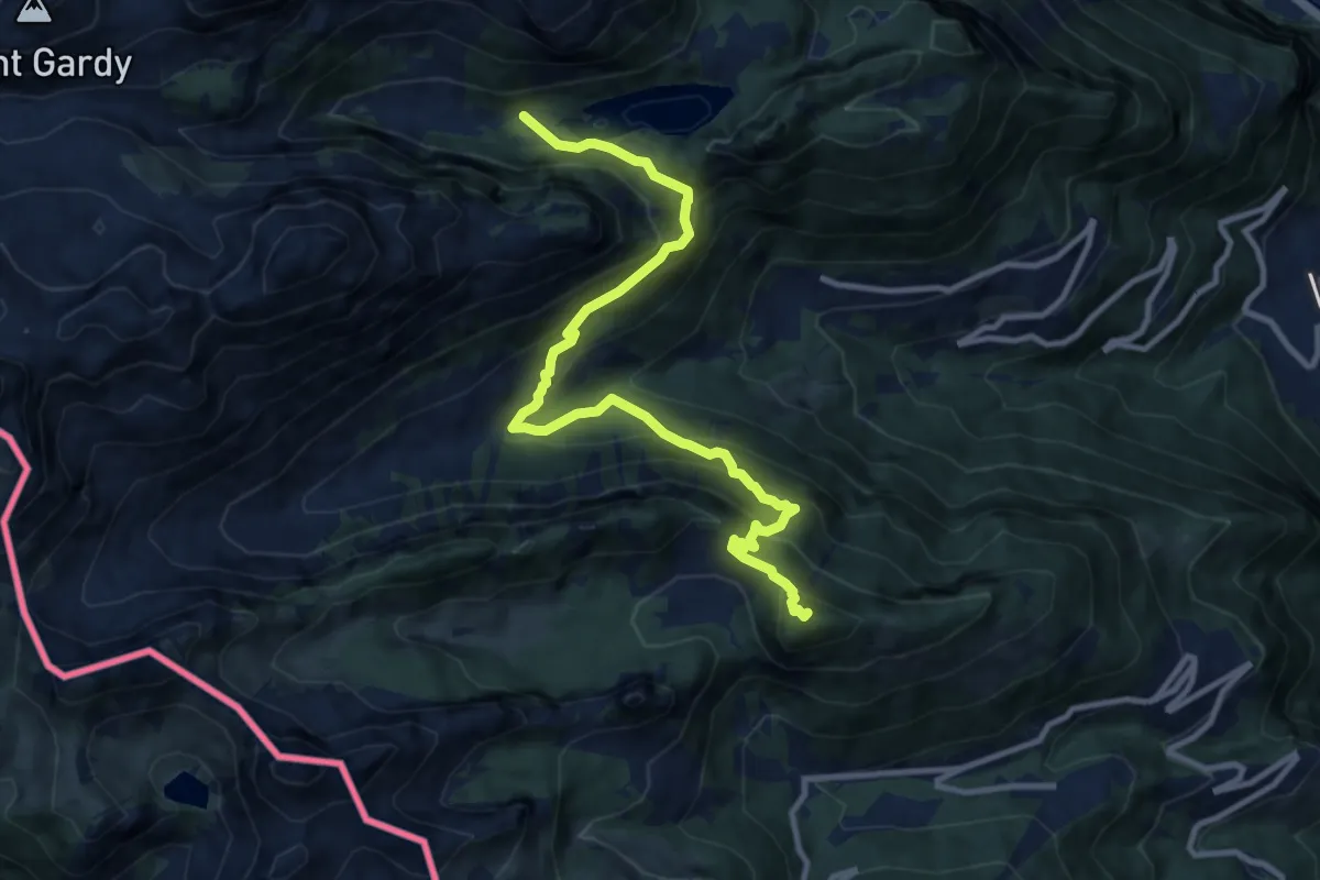
Demanding · Summit
42-Chemin des cols alpins
11.2 km · ↑ 993 m · 4 h 48 min · 13 km away
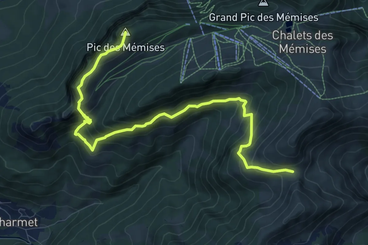
Demanding · Summit
Variante GR Balcon du Léman
11.5 km · ↑ 930 m · 4 h 43 min · 13 km away
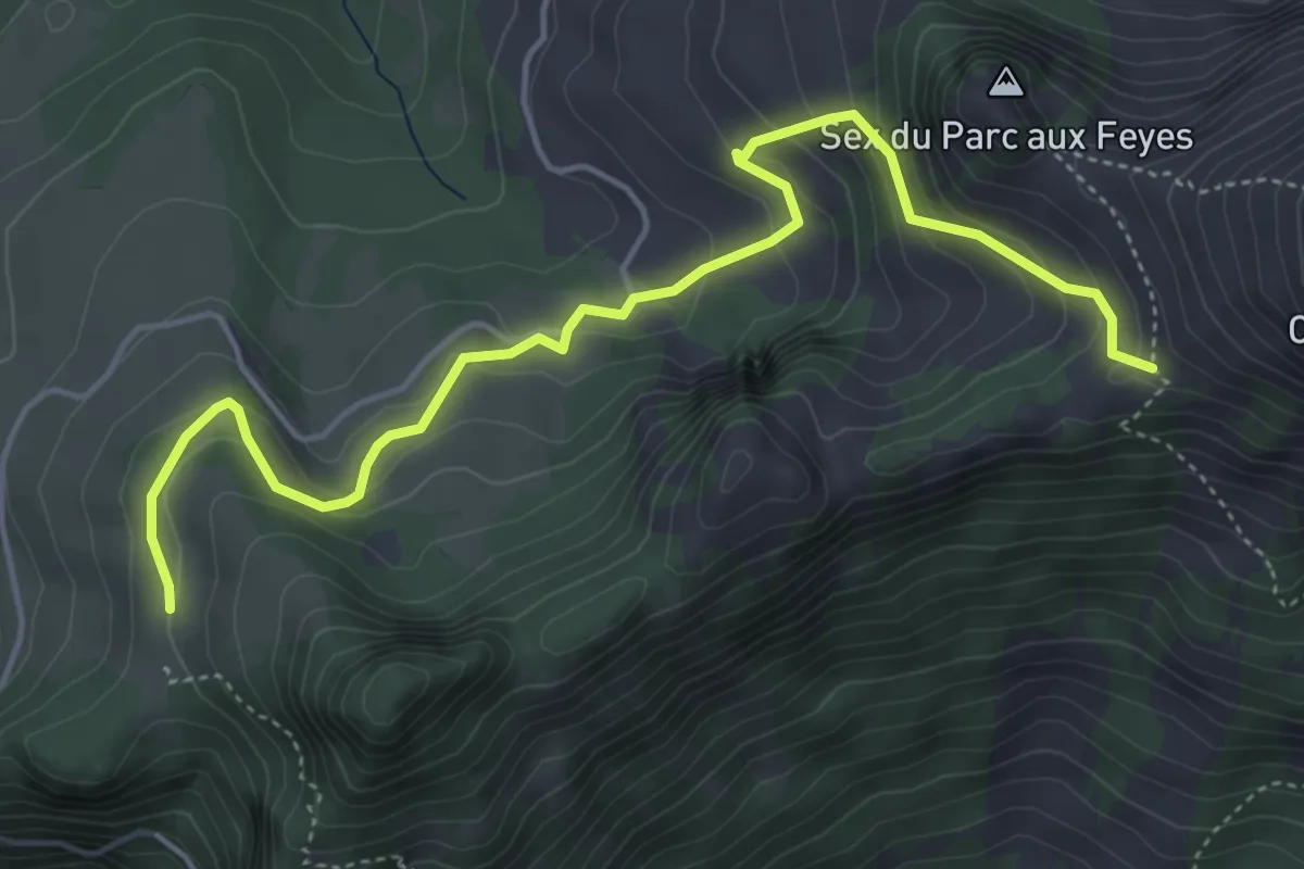
Medium · Trail
Les Agittes – Col de Tompey
5.4 km · ↑ 335 m · 2 h · 14 km away
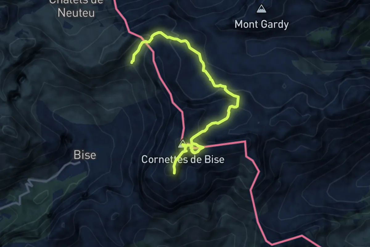
Demanding · Summit
Les Cornettes de Bise depuis le refuge de Bise
4.6 km · ↑ 641 m · 2 h 20 min · 14 km away
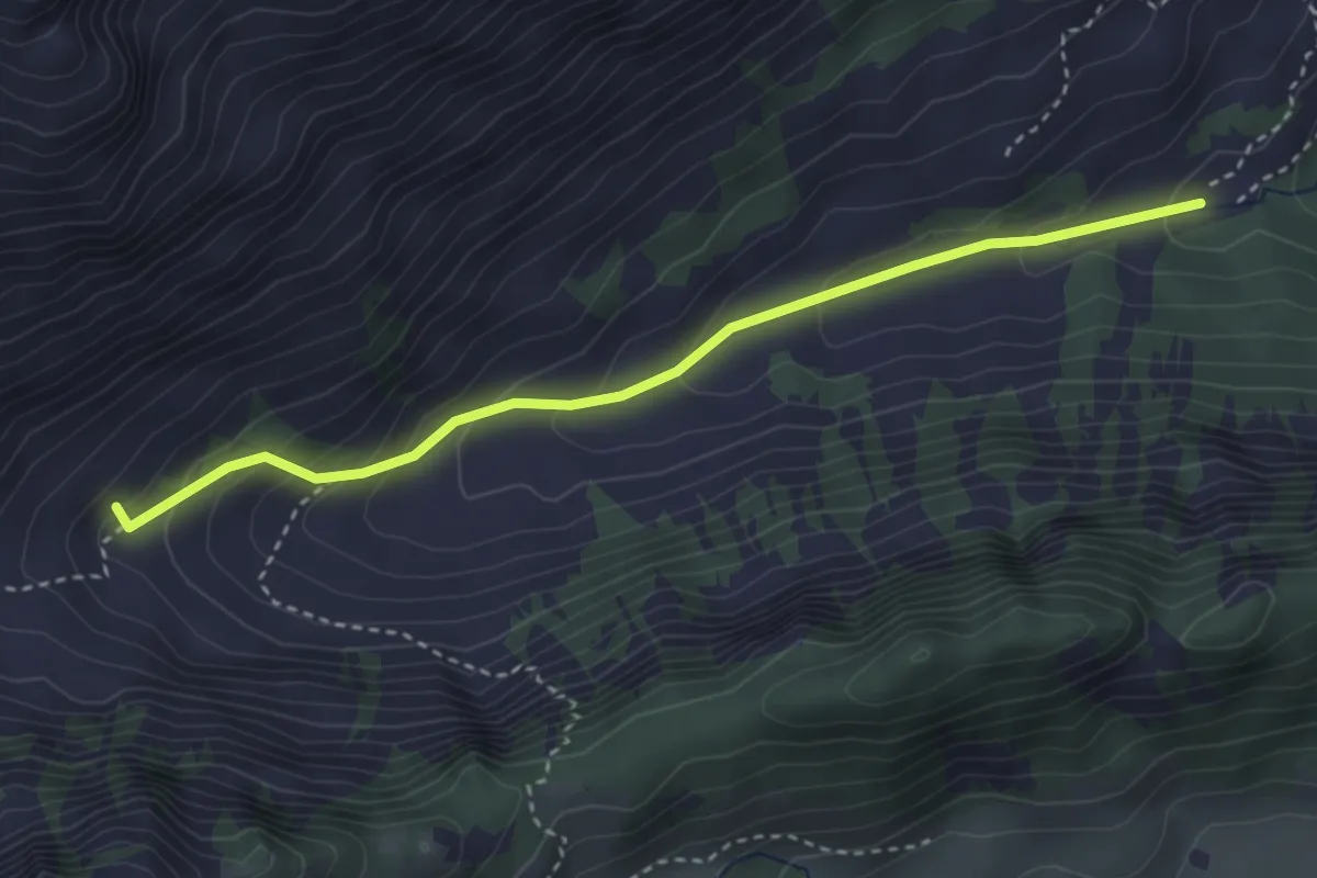
Easy · Trail
Chemin de la Crossette
3.4 km · ↑ 229 m · 1 h 18 min · 14 km away
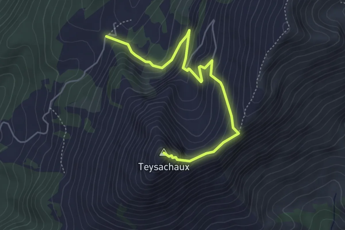
Medium · Summit
Le Villard-Dessus – Teysachaux
5.0 km · ↑ 429 m · 2 h 7 min · 15 km away
Medium · Summit
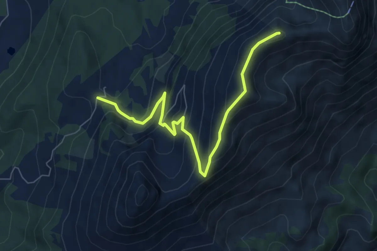
Le Villard-Dessus – Moléson
6.7 km · ↑ 467 m · 2 h 35 min · 15 km away
Easy · Cabin
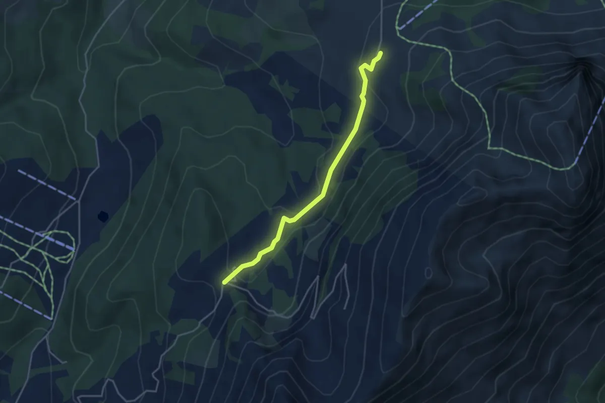
Gros-Plané – Le Villard-Dessus
3.6 km · ↑ 125 m · 1 h 8 min · 15 km away
Medium · Trail
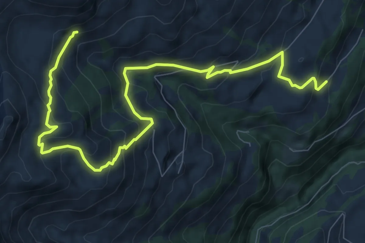
Châbloz – En Lys
10.9 km · ↑ 711 m · 4 h 6 min · 15 km away