Trails near Wädenswil
659 hikes starting within 15 km, nearest first.
Nearest first, page 14 of 14
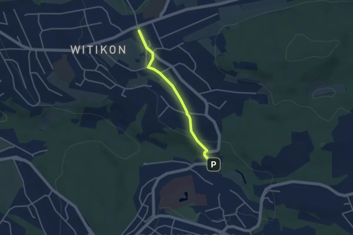
Easy · Trail
Witikon - Trichtenhusen
2.5 km · ↑ 40 m · 41 min · 15 km away
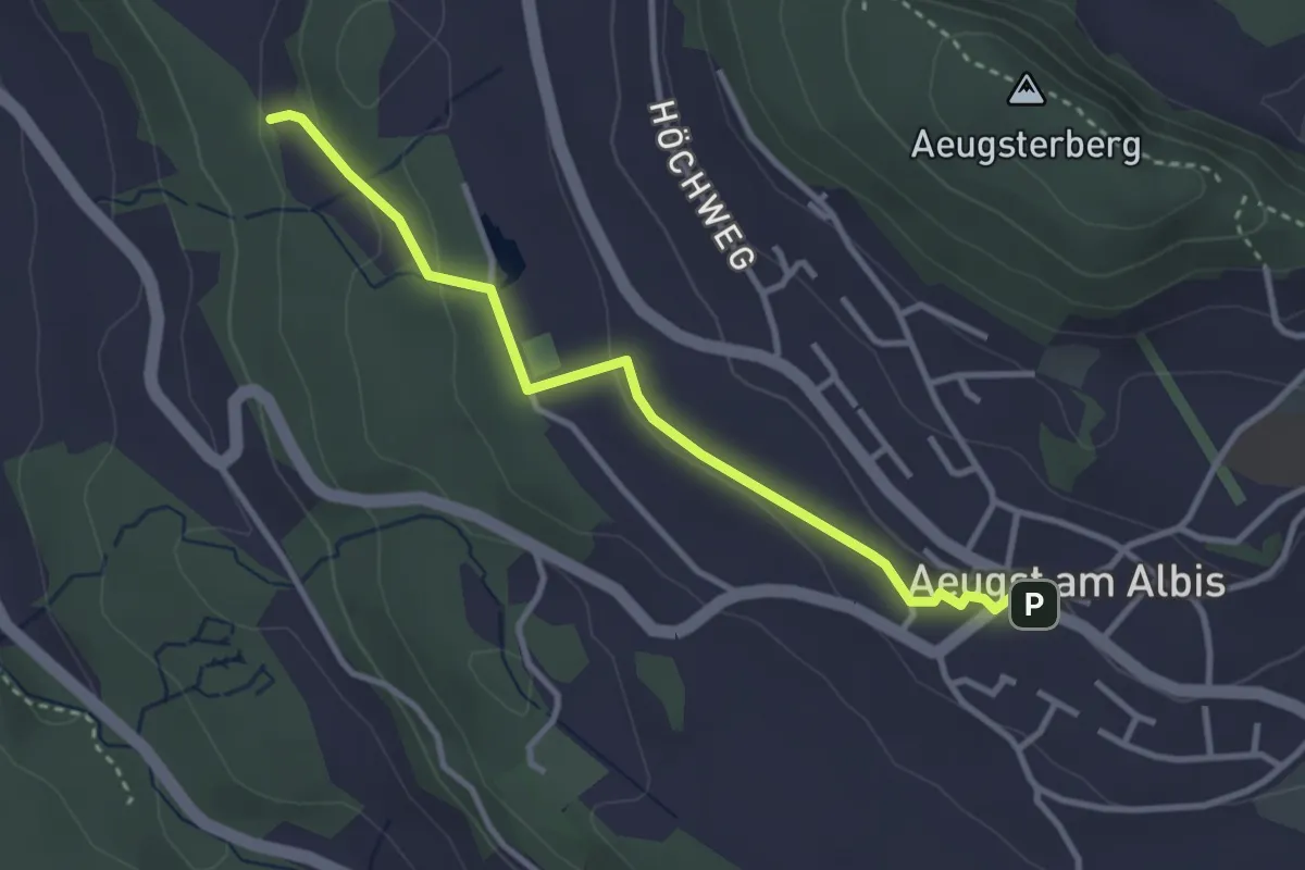
Easy · Trail
Aeugst am Albis – Sunnenbüel
3.2 km · ↑ 80 m · 55 min · 15 km away
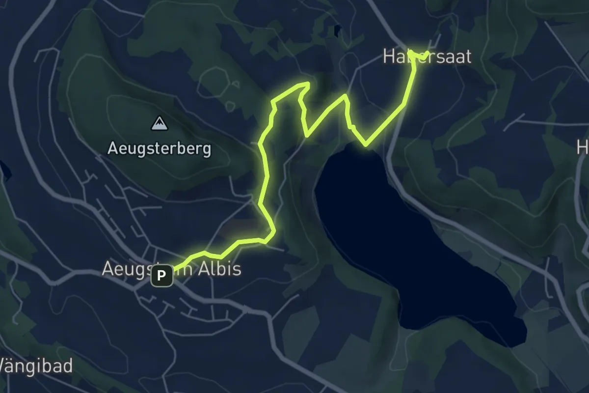
Easy · Trail
Habersaat – Aegst a.A.
6.3 km · ↑ 179 m · 1 h 53 min · 15 km away
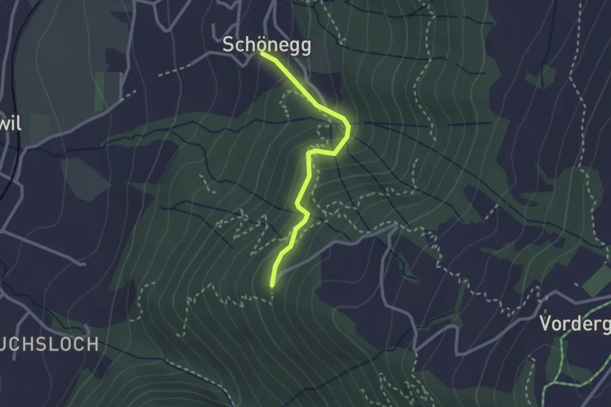
Easy · Trail
Schönegg – Lärch
2.1 km · ↑ 206 m · 57 min · 15 km away
Easy · Trail
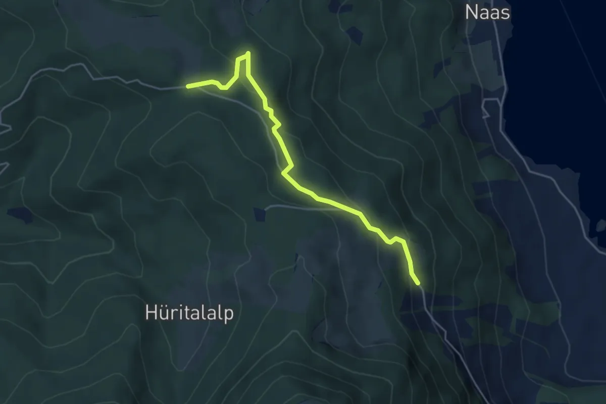
Schornerain - Rossalmig
4.3 km · ↑ 202 m · 1 h 27 min · 15 km away
Easy · Trail
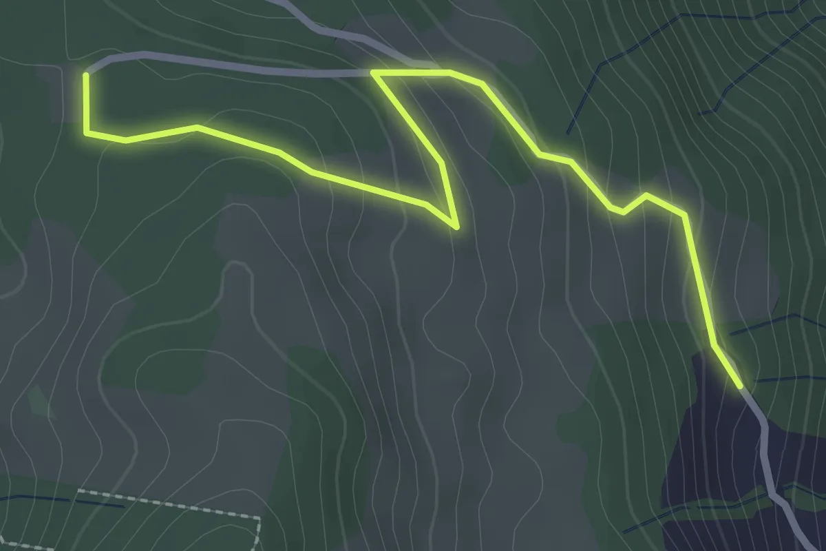
Schornerain - Cholerhütte
2.9 km · ↑ 140 m · 59 min · 15 km away
Easy · Summit
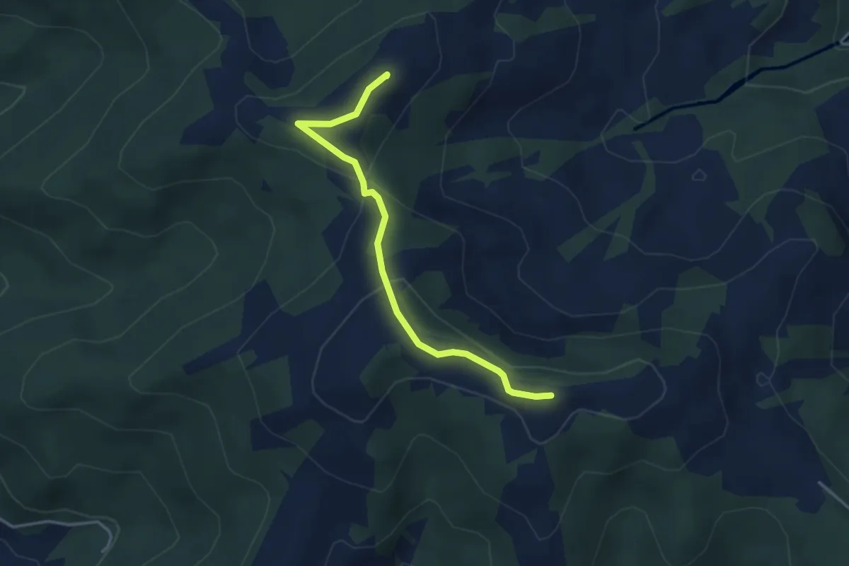
Stöcklichrüz - Gueteregg
3.4 km · ↑ 125 m · 1 h 5 min · 15 km away
Medium · Trail
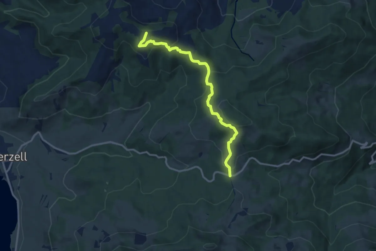
Rinderweidhorn - Gueteregg
8.5 km · ↑ 345 m · 2 h 46 min · 15 km away
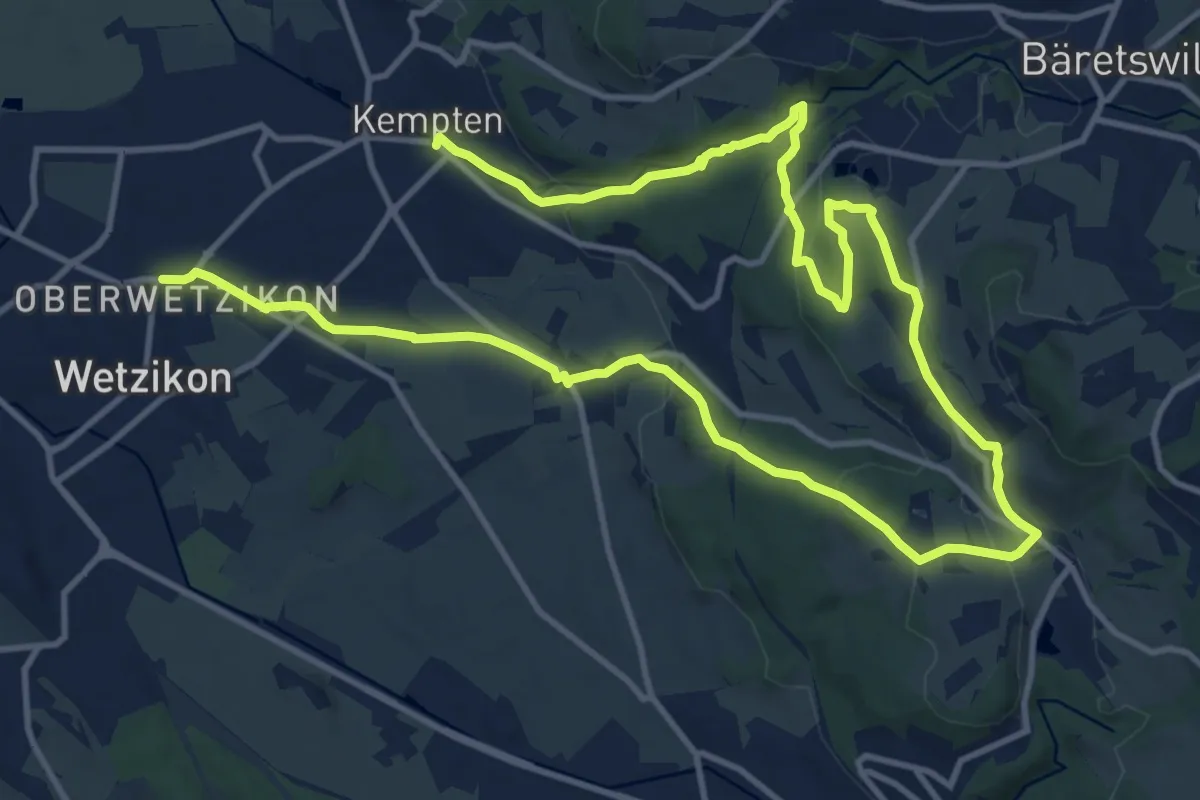
Medium · Trail
Rundweg Chämtnertobel
10.5 km · ↑ 265 m · 3 h 12 min · 15 km away
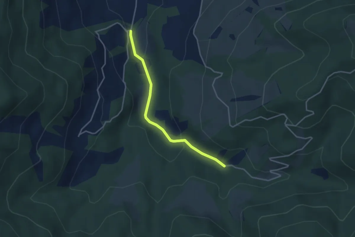
Easy · Trail
Egg Gatter – Schönalp Hütte
2.8 km · ↑ 81 m · 50 min · 15 km away
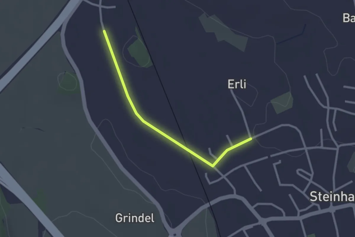
Easy · Trail
Erligütsch - Bibersee
2.2 km · ↑ 13 m · 33 min · 15 km away
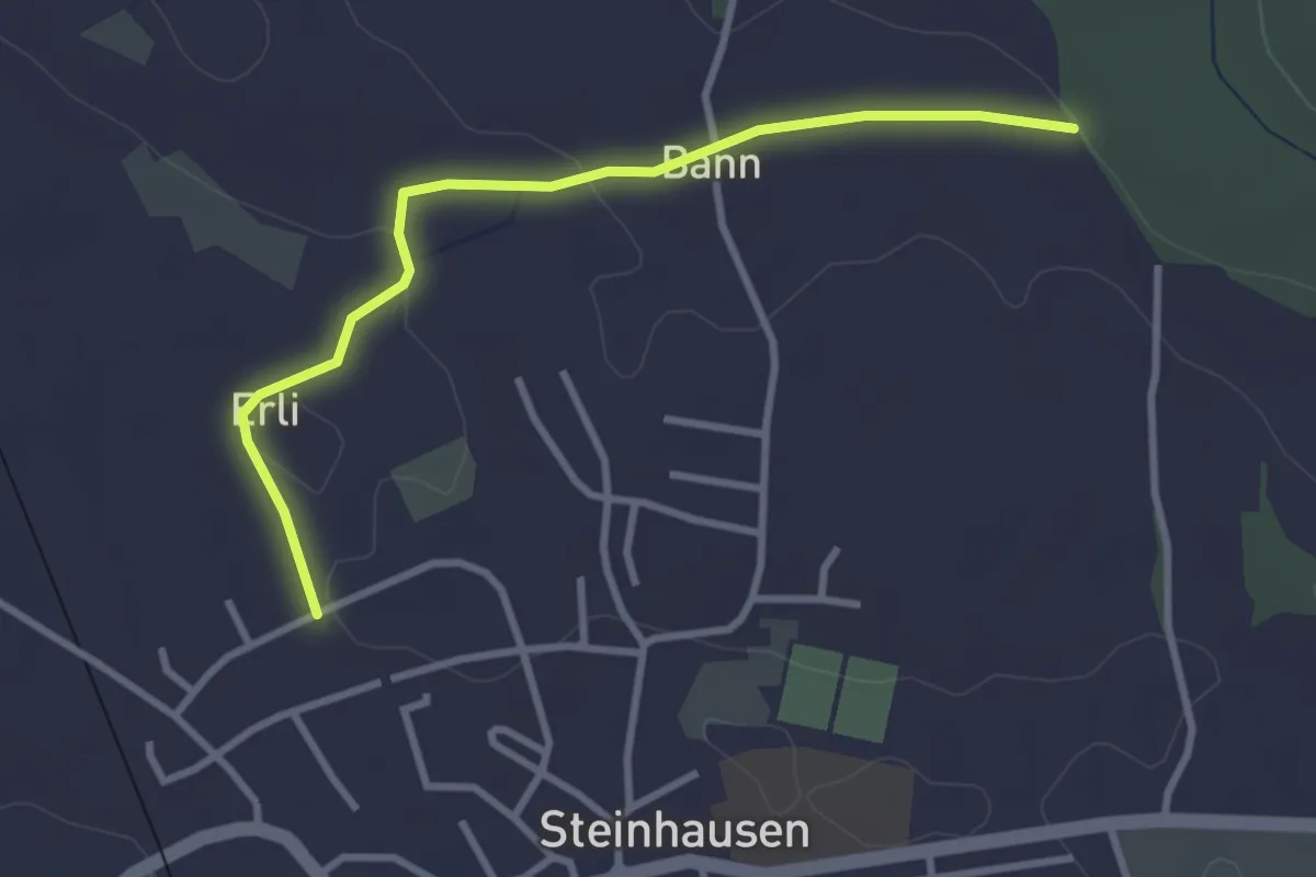
Easy · Trail
Steinhauserwald - Erligütsch
3.1 km · ↑ 35 m · 49 min · 15 km away
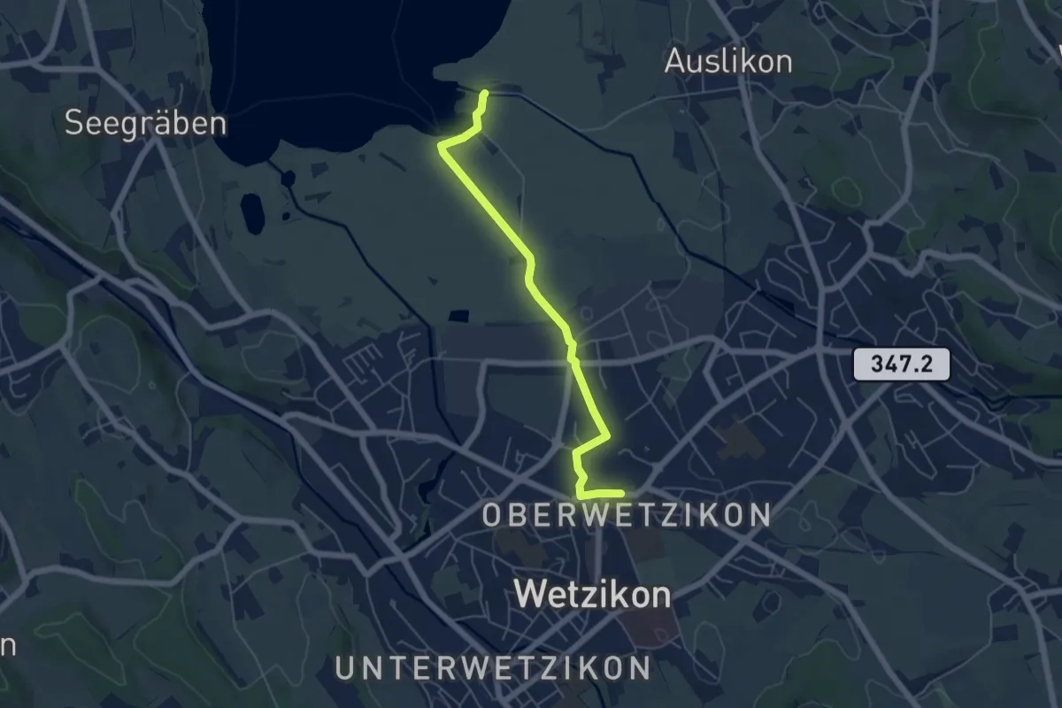
Easy · Trail
Oberwetzikon – Auslikon Strandbad
5.0 km · ↑ 8 m · 1 h 12 min · 15 km away
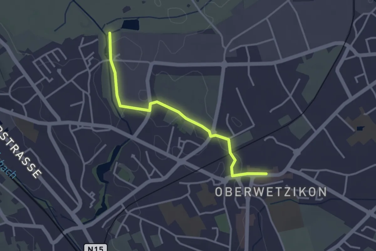
Easy · Trail
Oberwetzikon - Robenhausen
3.0 km · ↑ 8 m · 44 min · 15 km away
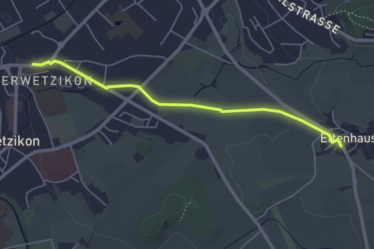
Easy · Trail
Oberwetzikon - Ettenhausen
4.1 km · ↑ 22 m · 1 h 1 min · 15 km away
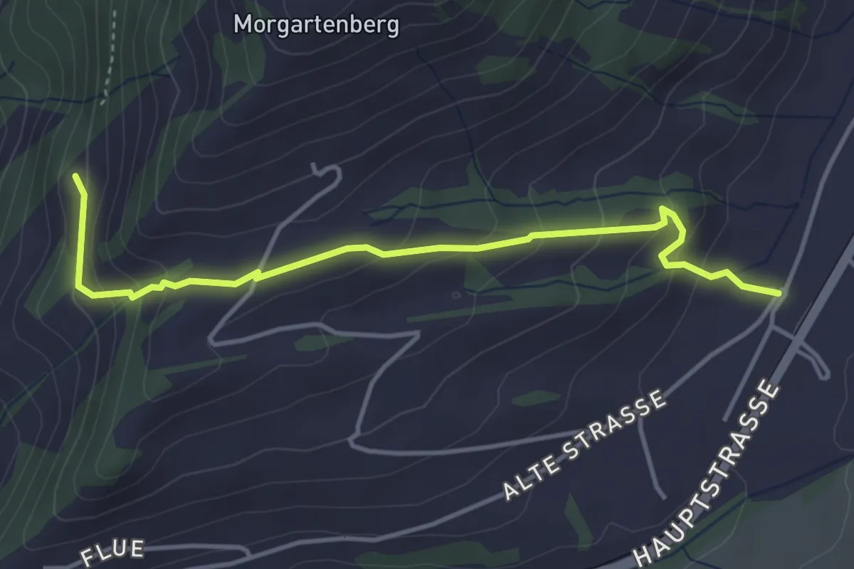
Easy · Trail
Hasenmatt - Rapperen
4.1 km · ↑ 239 m · 1 h 29 min · 15 km away
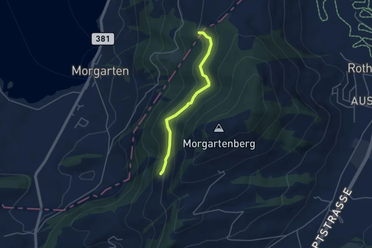
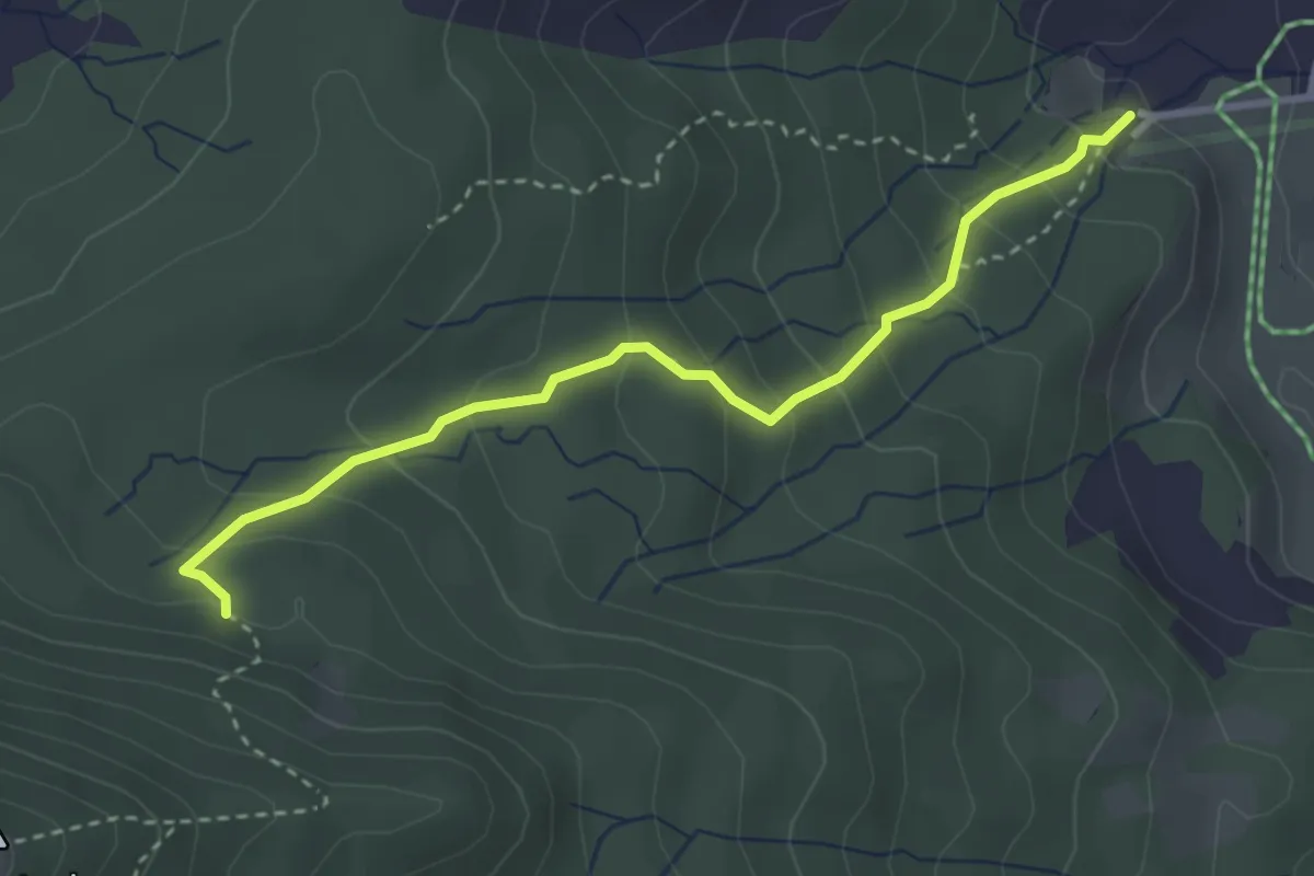
Easy · Trail
Rapperen - Fisterenwald
3.2 km · ↑ 159 m · 1 h 6 min · 15 km away
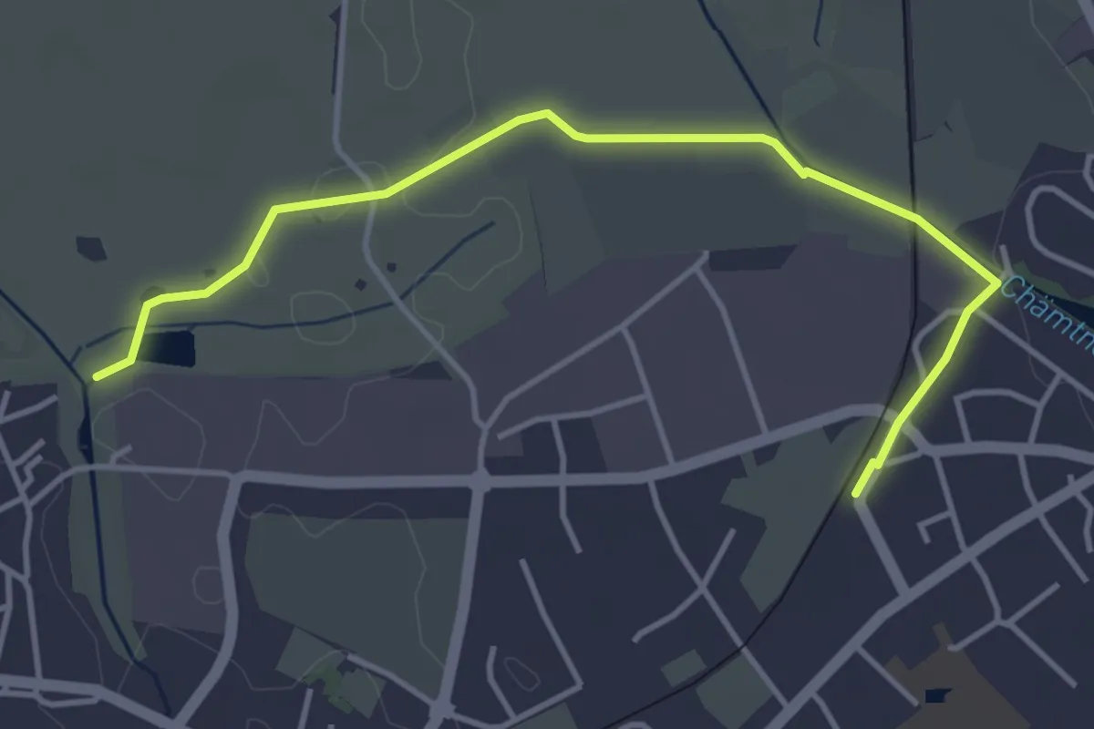
Medium · Trail
Steinschlag – Trachslau
3.2 km · ↑ 271 m · 1 h 21 min · 15 km away
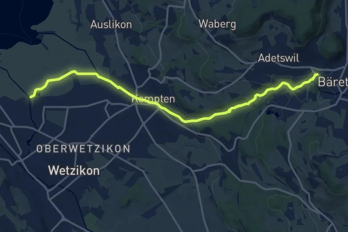
Easy · Trail
Robenhausen - Kempten
4.3 km · ↑ 22 m · 1 h 4 min · 15 km away
Medium · Trail
Industriepfad Zürcher Oberland
11.3 km · ↑ 163 m · 3 h 2 min · 15 km away
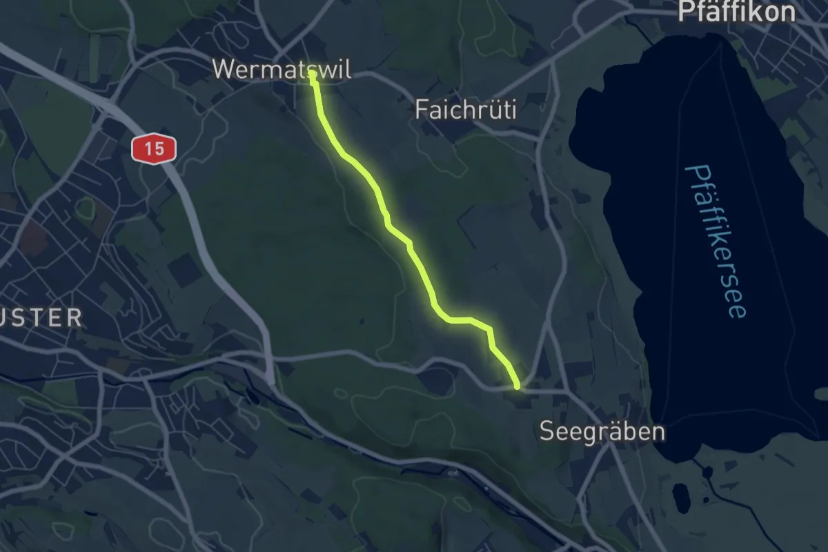
Easy · Trail
Wermatswil – Ottenhusen
5.0 km · ↑ 50 m · 1 h 17 min · 15 km away
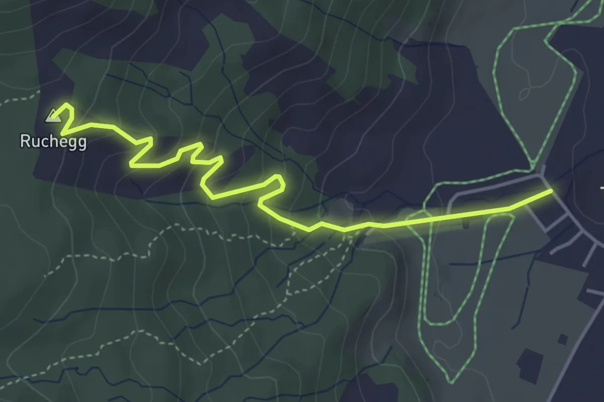
Easy · Summit
Trachslau – Ruchegg
4.4 km · ↑ 294 m · 1 h 41 min · 15 km away
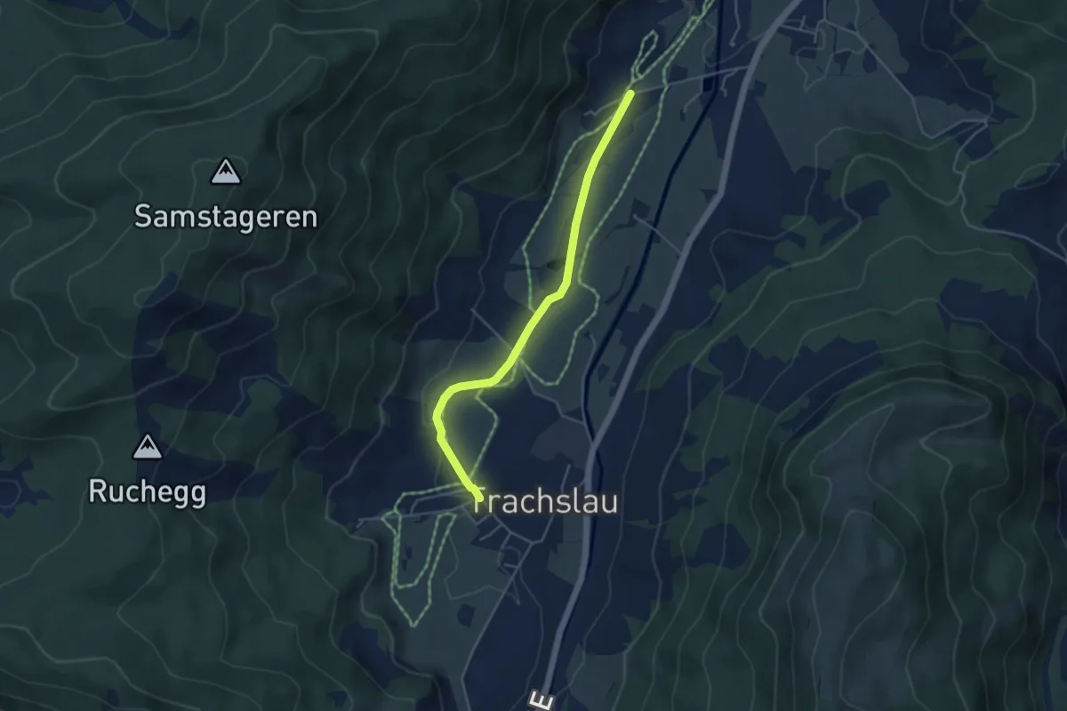
Easy · Trail
Kloster Au - Trachslau Dorf
4.2 km · ↑ 35 m · 1 h 4 min · 15 km away
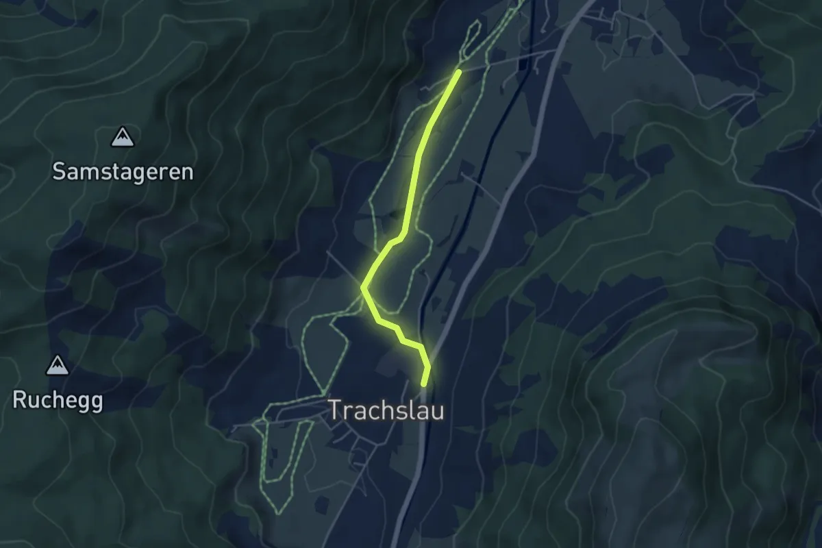
Easy · Trail
Kloster Au - Trachslau
3.7 km · ↑ 37 m · 58 min · 15 km away
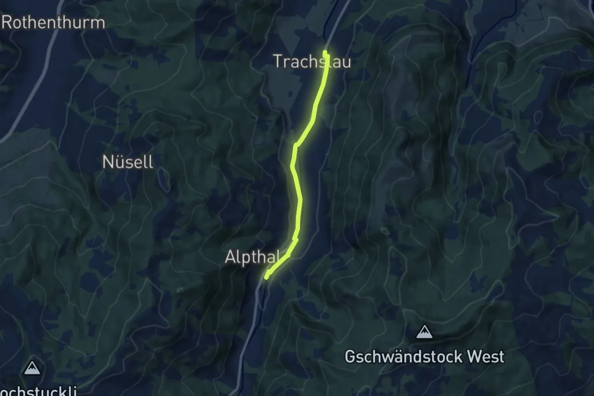
Easy · Trail
Trachslau – Alpthal
7.5 km · ↑ 94 m · 1 h 58 min · 15 km away
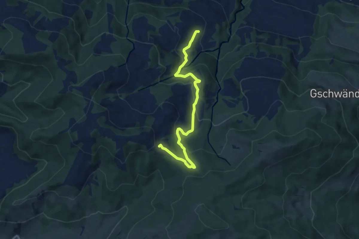
Medium · Trail
Bräggerhof - Rindereggli
8.7 km · ↑ 408 m · 2 h 57 min · 15 km away
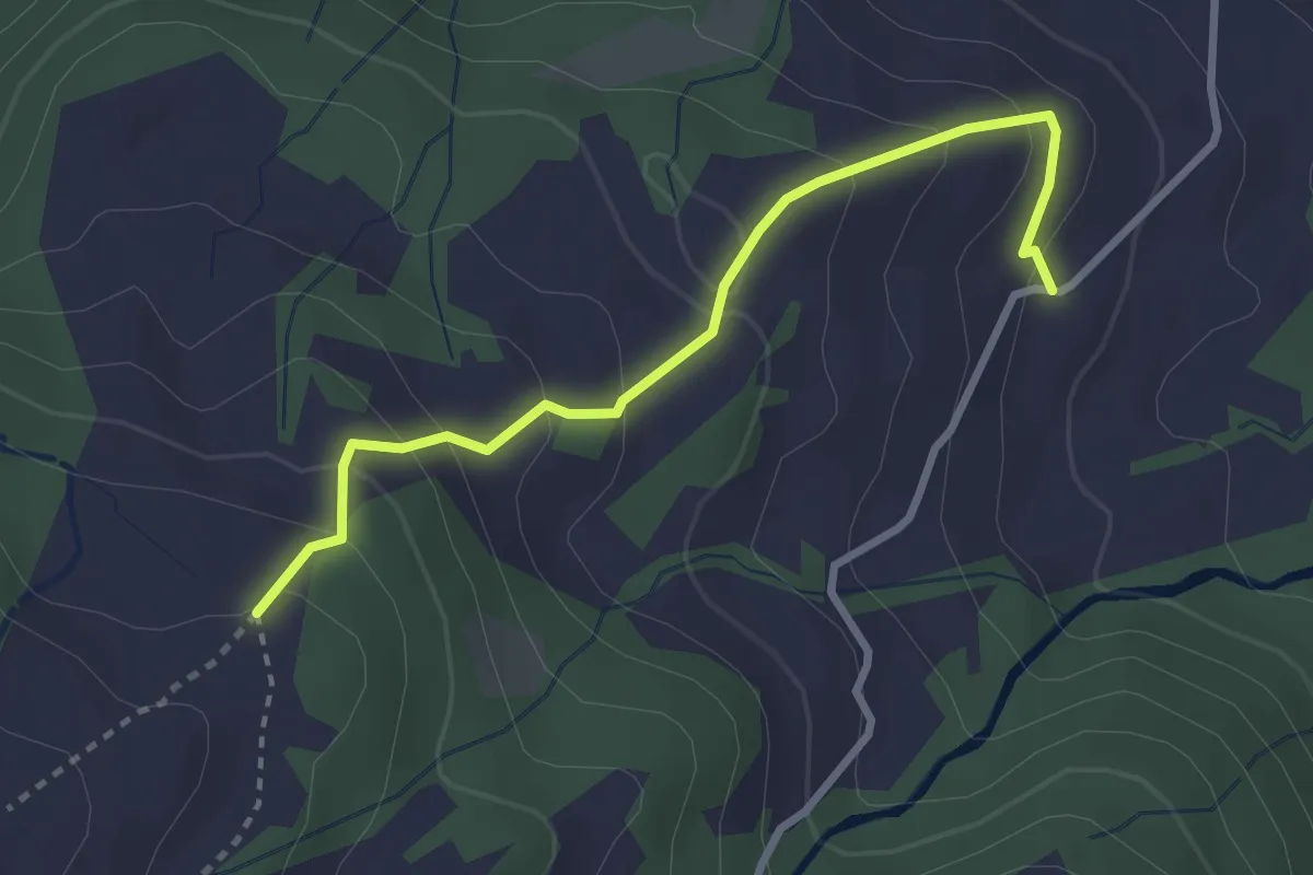
Easy · Trail
Bräggerhof - Waldeggli
2.9 km · ↑ 221 m · 1 h 10 min · 15 km away
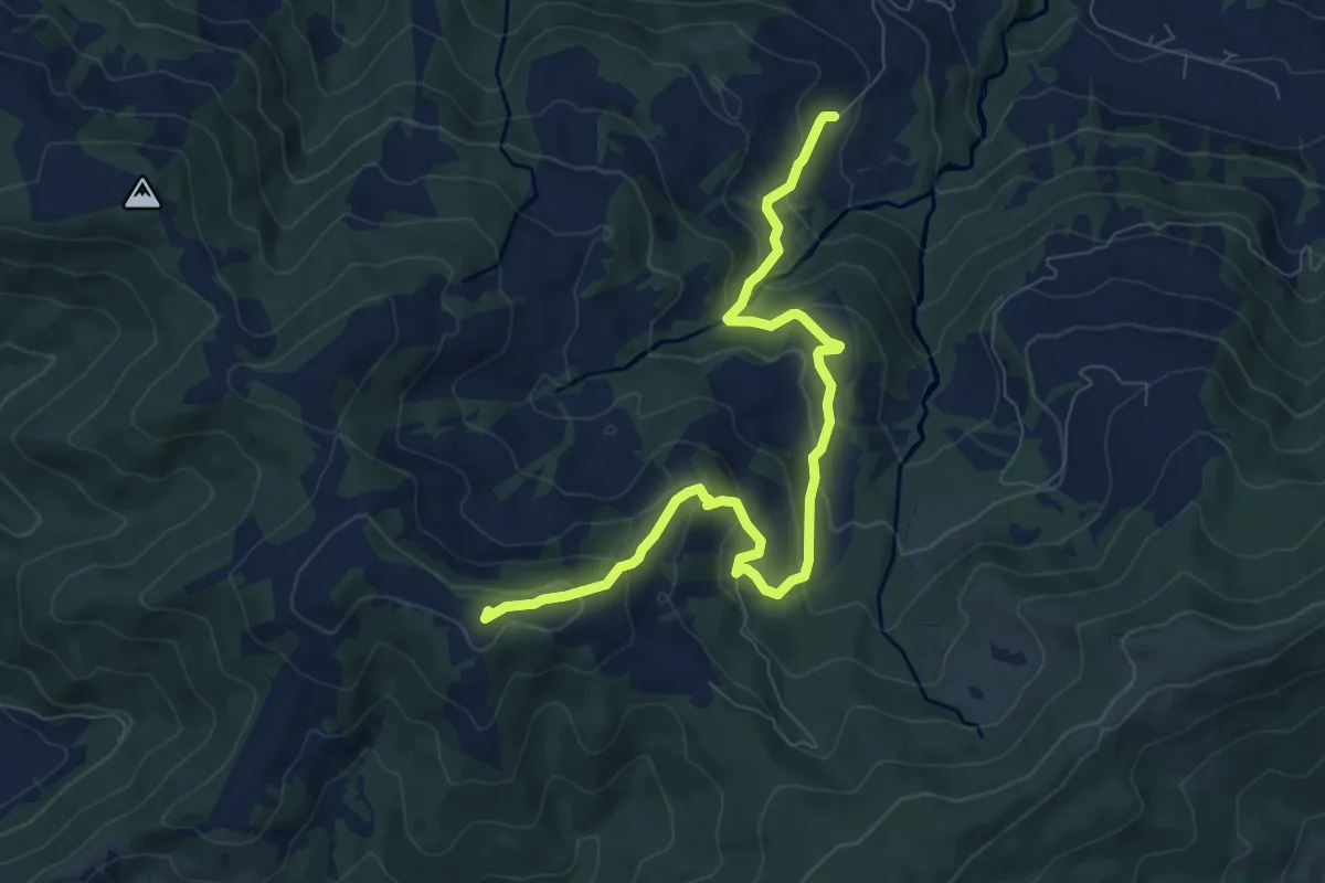
Medium · Trail
Bräggerhof - Gueteregg
8.8 km · ↑ 474 m · 3 h 6 min · 15 km away
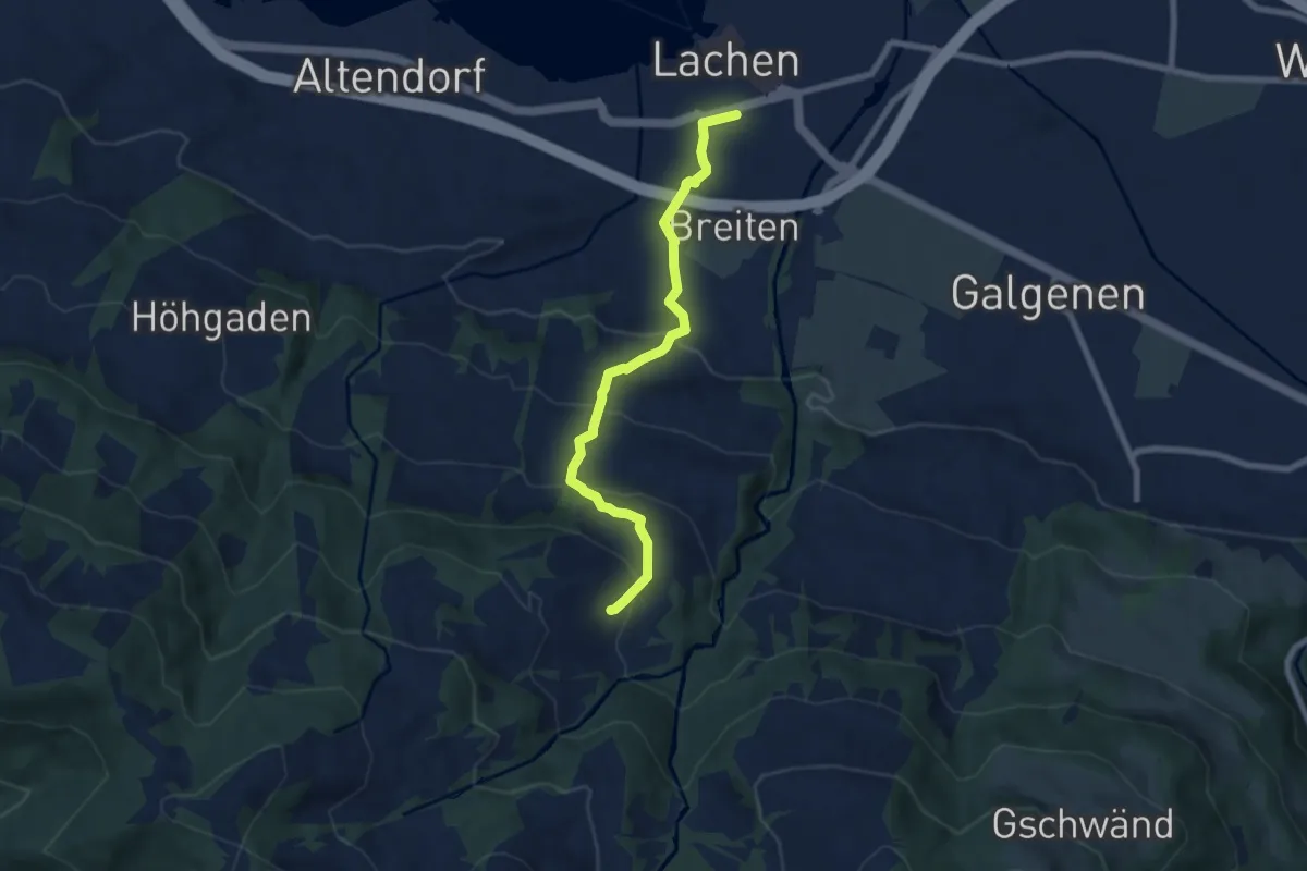
Medium · Trail
Lachen - Bräggerhof
7.0 km · ↑ 400 m · 2 h 31 min · 15 km away
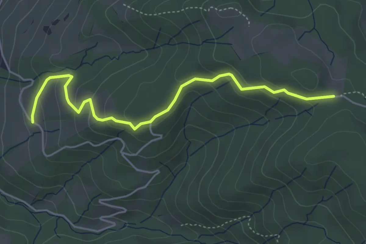
Easy · Trail
Rossallmig - Illenberg
4.5 km · ↑ 201 m · 1 h 30 min · 15 km away
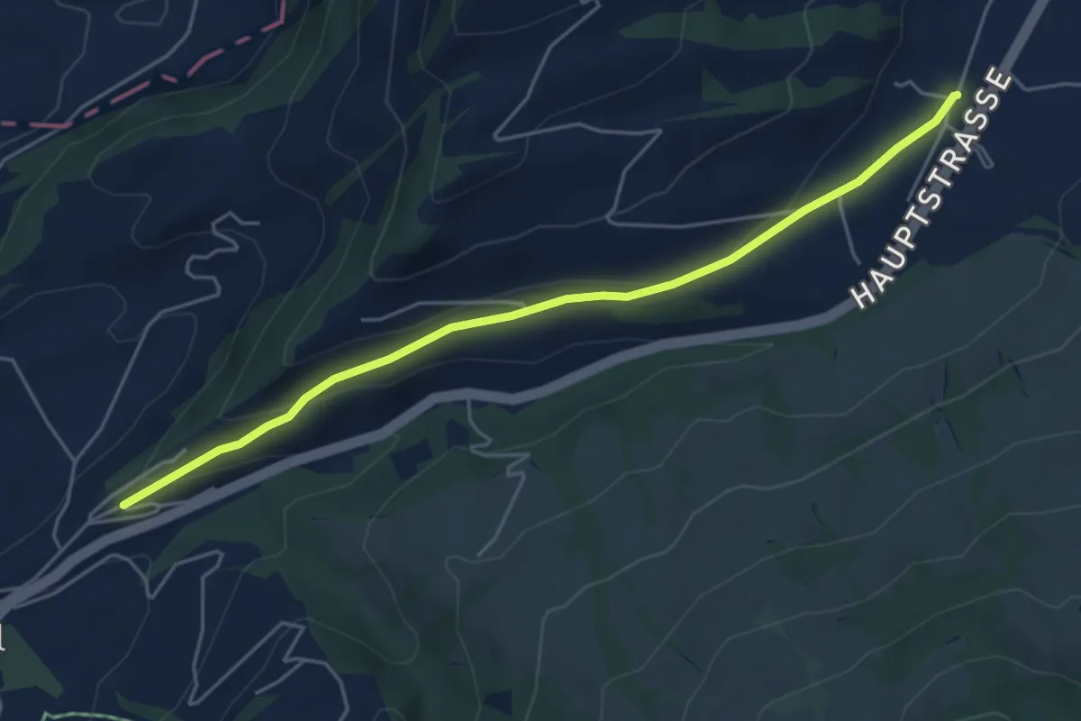
Easy · Trail
Hasenmatt - Lustnau? / Sattel? - fixme
5.1 km · ↑ 142 m · 1 h 31 min · 15 km away
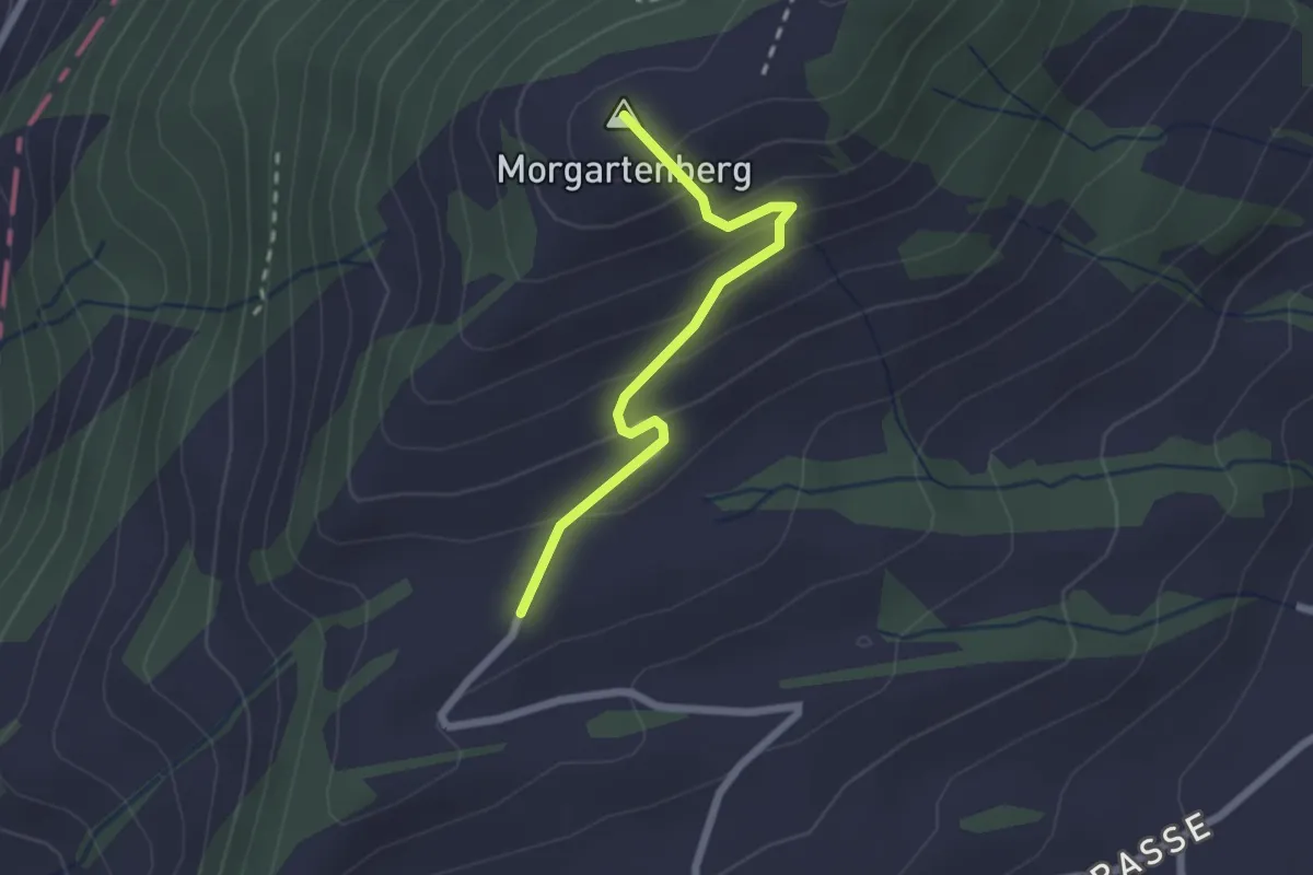
Easy · Summit
Morgartenberg - Lustnau? / Sattel? - fixme
2.0 km · ↑ 152 m · 49 min · 15 km away
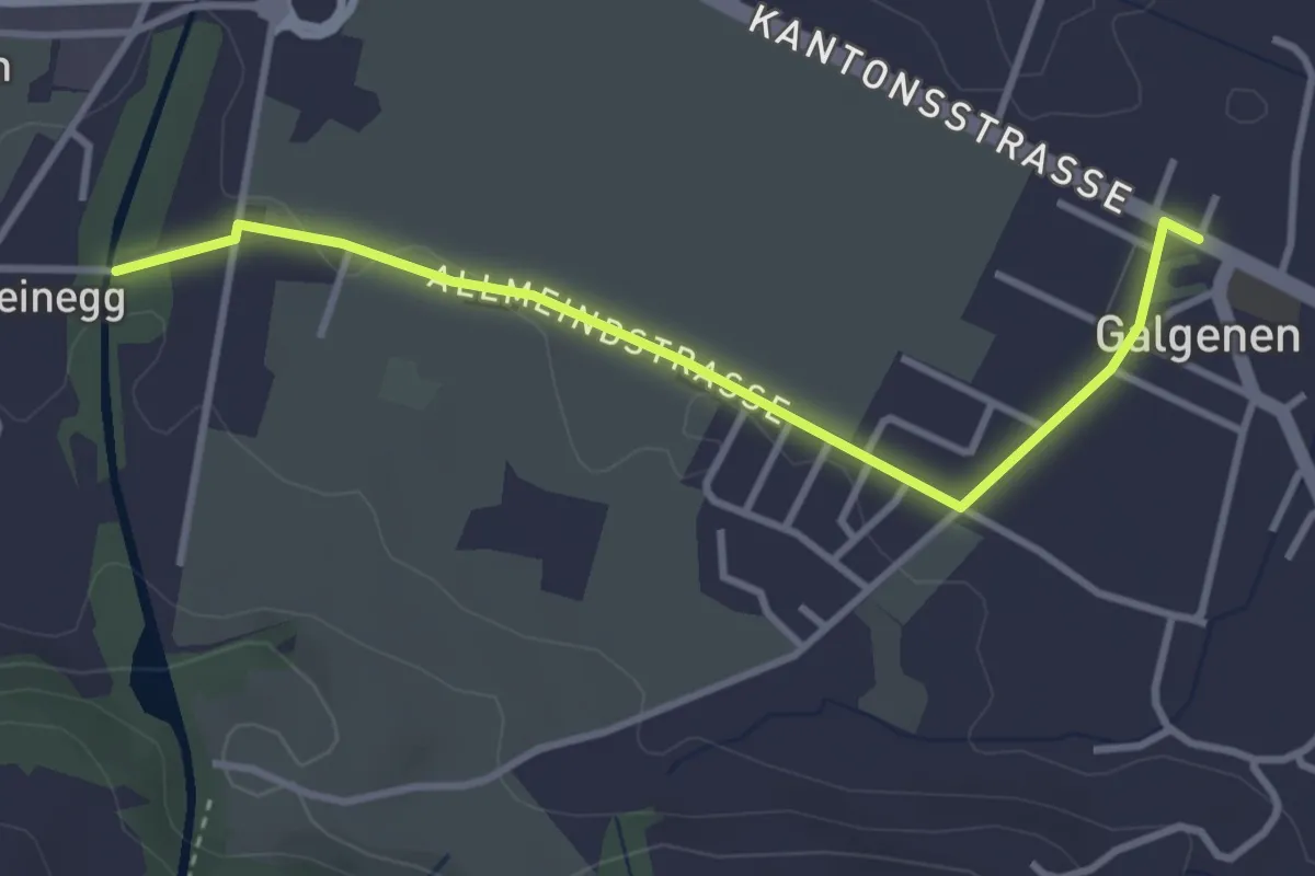
Easy · Trail
Galgenen - Steinegg
3.4 km · ↑ 31 m · 52 min · 15 km away
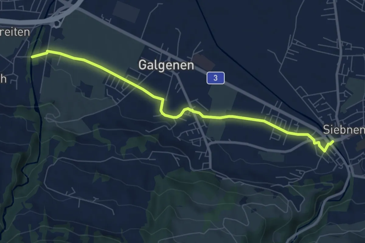
Easy · Trail
Siebnen - Steinegg
7.4 km · ↑ 35 m · 1 h 49 min · 15 km away
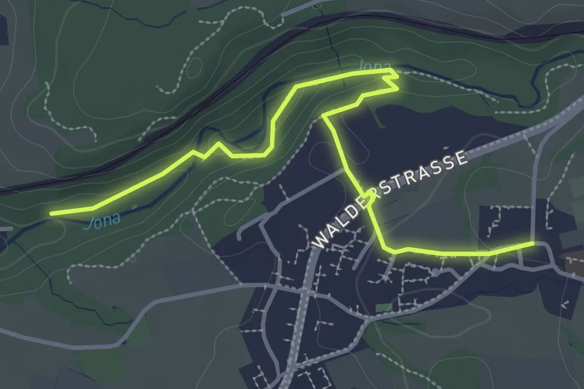
Easy · Trail
Tannertobel – Unterfägswil
3.6 km · ↑ 62 m · 59 min · 15 km away