Trails near Wald ZH
513 hikes starting within 15 km, nearest first.
Nearest first, page 11 of 11
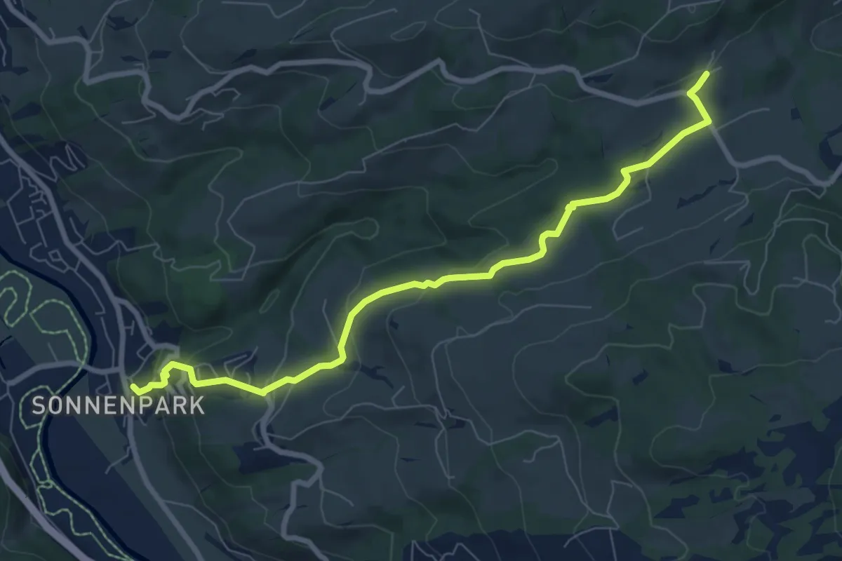
Easy · Trail
Heiterswil – Ulisbach
8.0 km · ↑ 277 m · 2 h 29 min · 14 km away
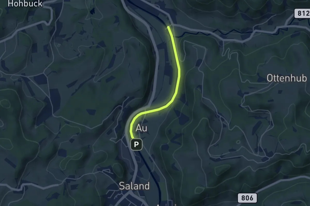
Easy · Trail
Saland – Tablat
3.7 km · ↑ 33 m · 57 min · 14 km away
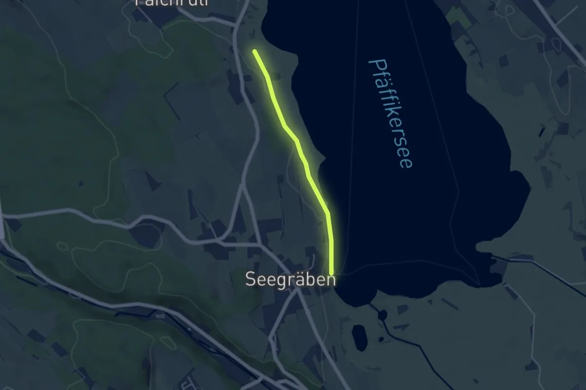
Easy · Trail
Talhof – Seegräben Landungssteg
3.4 km · ↑ 28 m · 52 min · 14 km away
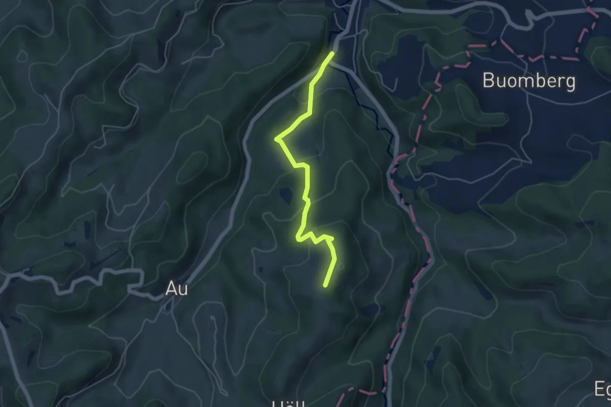
Easy · Trail
Fischingen Kloster - Ottenegg
4.3 km · ↑ 211 m · 1 h 29 min · 14 km away
Medium · Summit
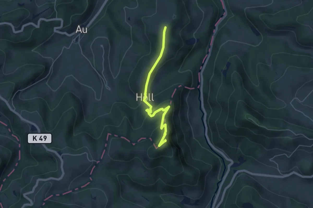
Ottenegg - Holenstein
4.5 km · ↑ 316 m · 1 h 45 min · 14 km away
Easy · Trail
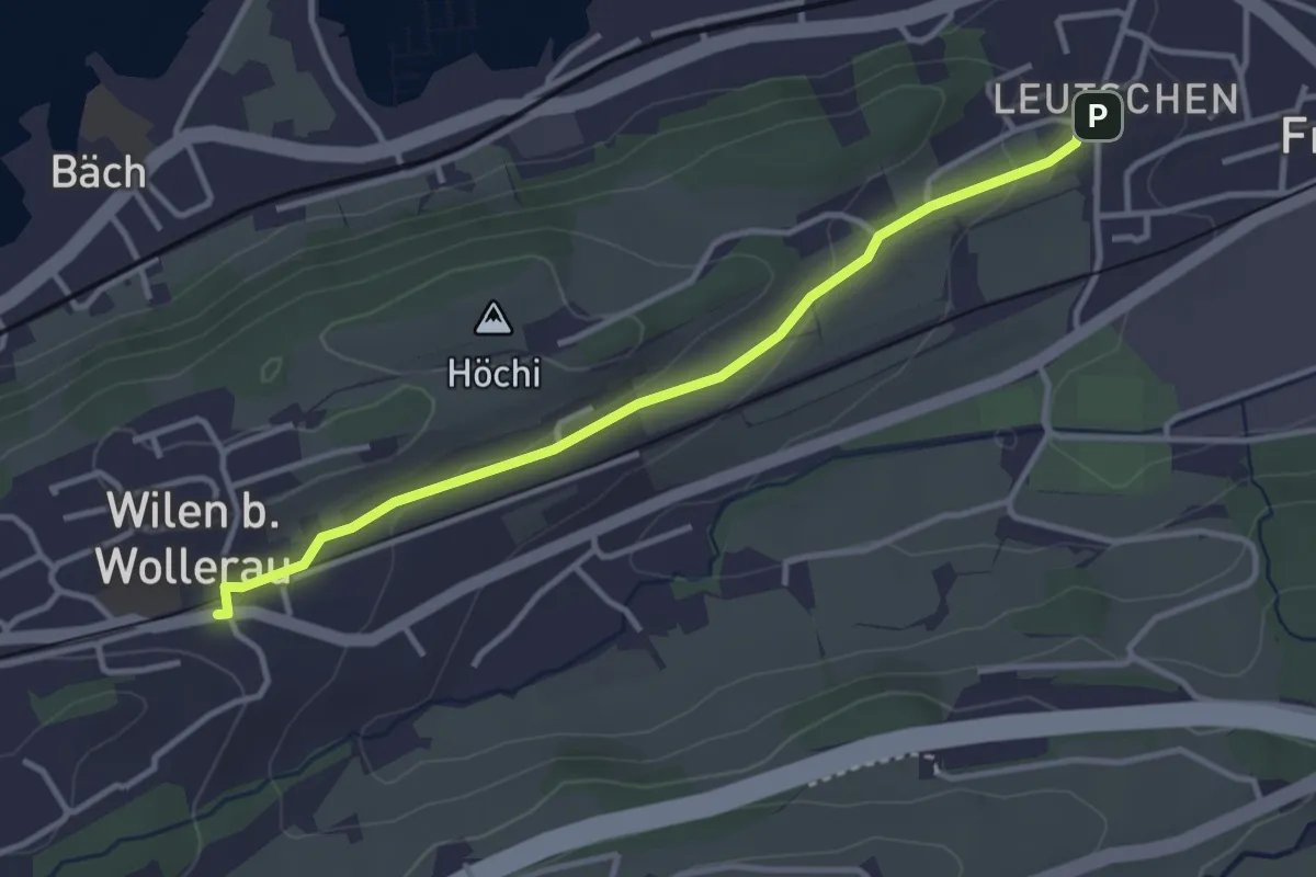
Wilen - Leutschen
3.4 km · ↑ 62 m · 56 min · 14 km away
Easy · Trail
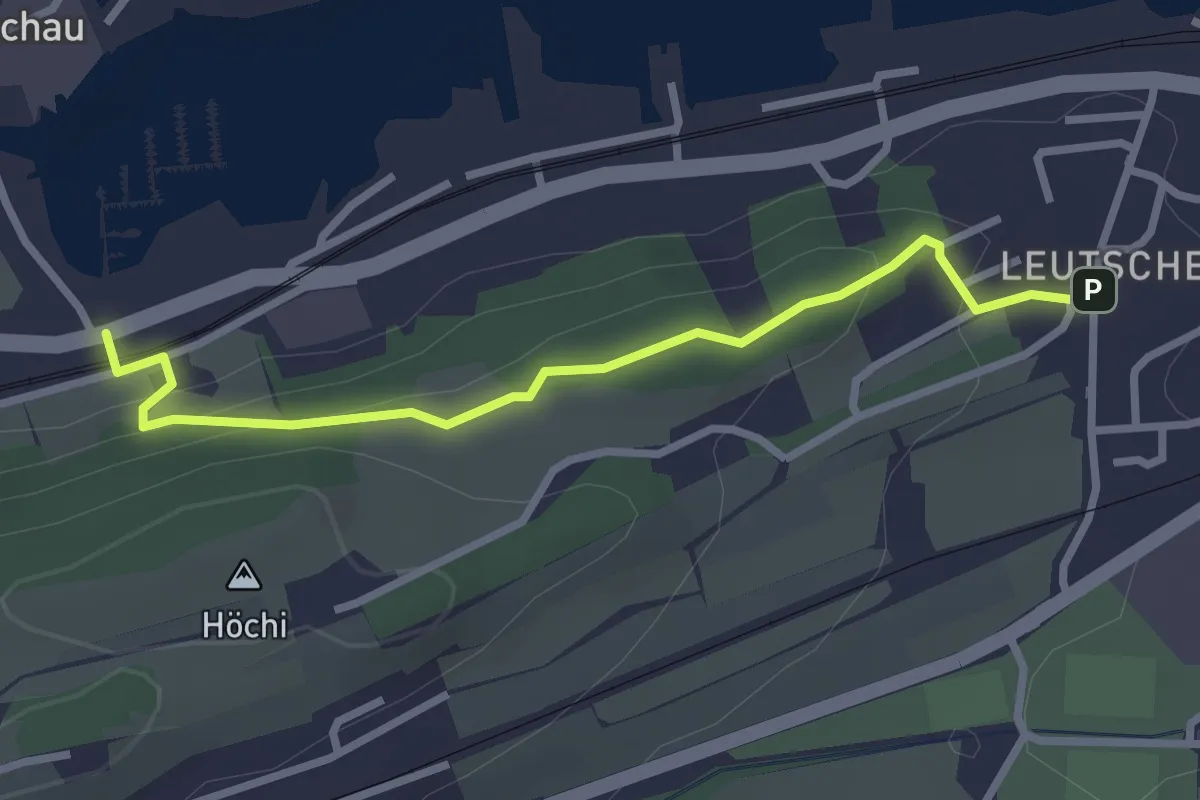
Leutschen - Usserbäch
2.8 km · ↑ 104 m · 53 min · 14 km away
Easy · Summit
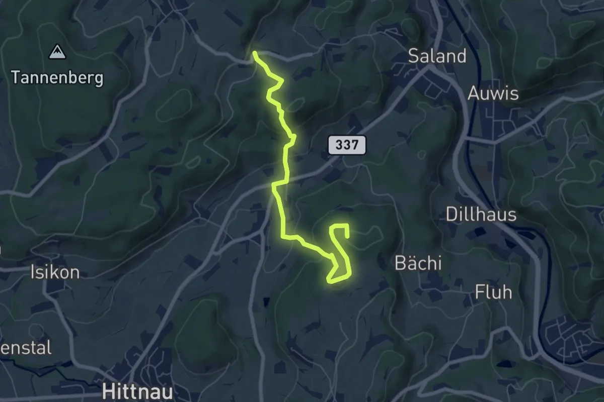
Fälmis - Ravensbüel
6.5 km · ↑ 245 m · 2 h 3 min · 14 km away
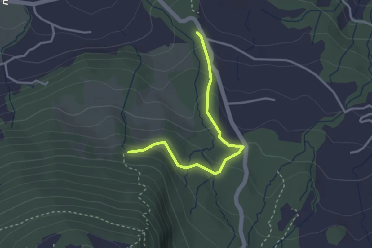
Easy · Trail
Schnäggenburg - Strickli
2.5 km · ↑ 140 m · 54 min · 14 km away
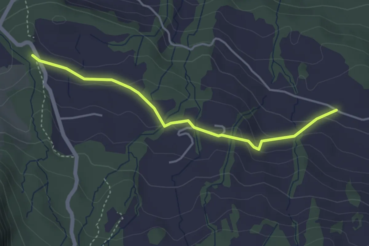
Easy · Trail
Schnäggenburg - Schwändi
3.5 km · ↑ 90 m · 1 h 1 min · 14 km away
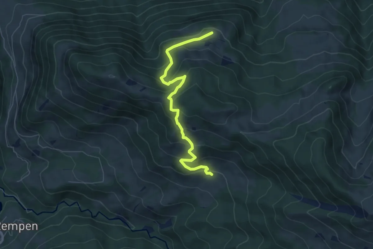
Medium · Trail
Tostel – Billmeschwändi
6.5 km · ↑ 407 m · 2 h 25 min · 14 km away
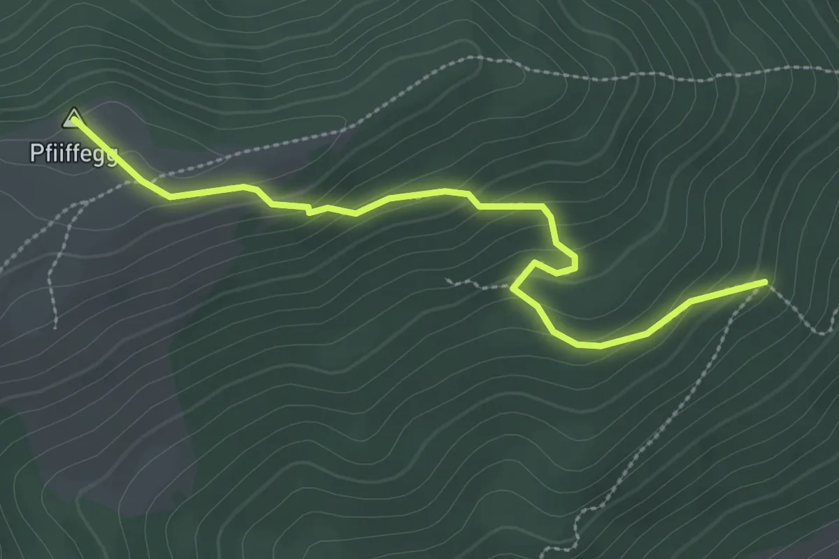
Easy · Summit
Steinwänd - Alp Pfiiffegg
3.0 km · ↑ 177 m · 1 h 5 min · 14 km away
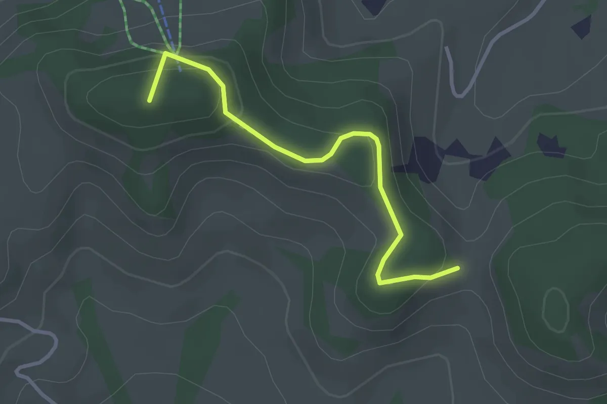
Easy · Summit
Wanderweg
2.8 km · ↑ 158 m · 1 h 1 min · 14 km away
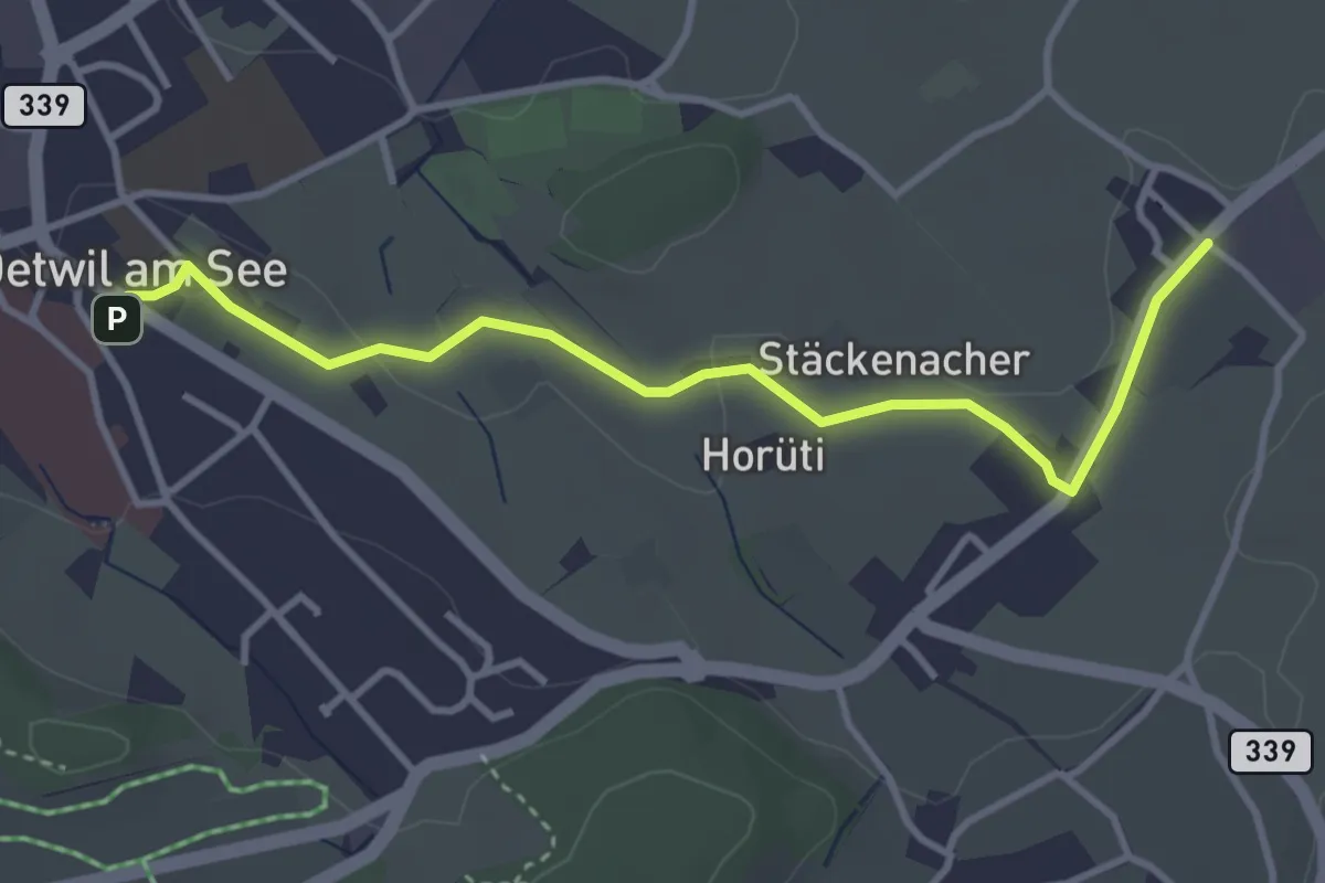
Easy · Trail
Holzhusen – Oetwil
3.7 km · ↑ 20 m · 55 min · 14 km away
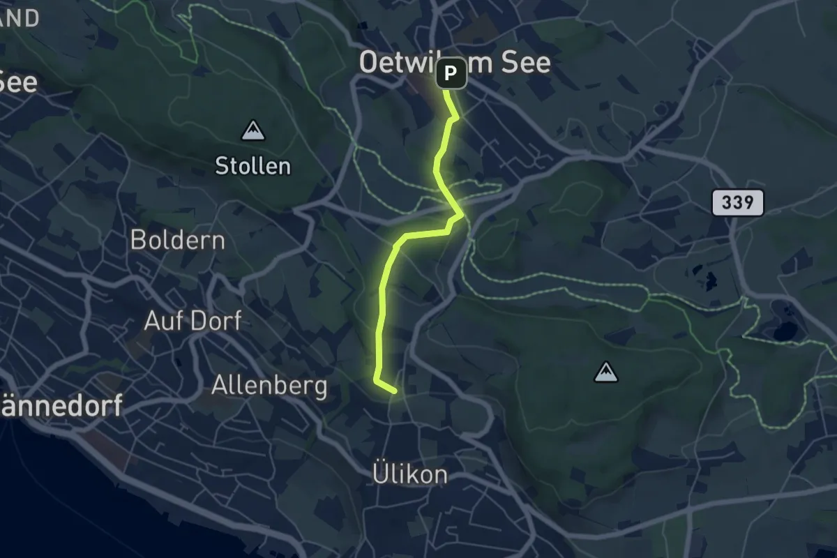
Easy · Trail
Oetwil - Püntacher
4.5 km · ↑ 147 m · 1 h 23 min · 14 km away
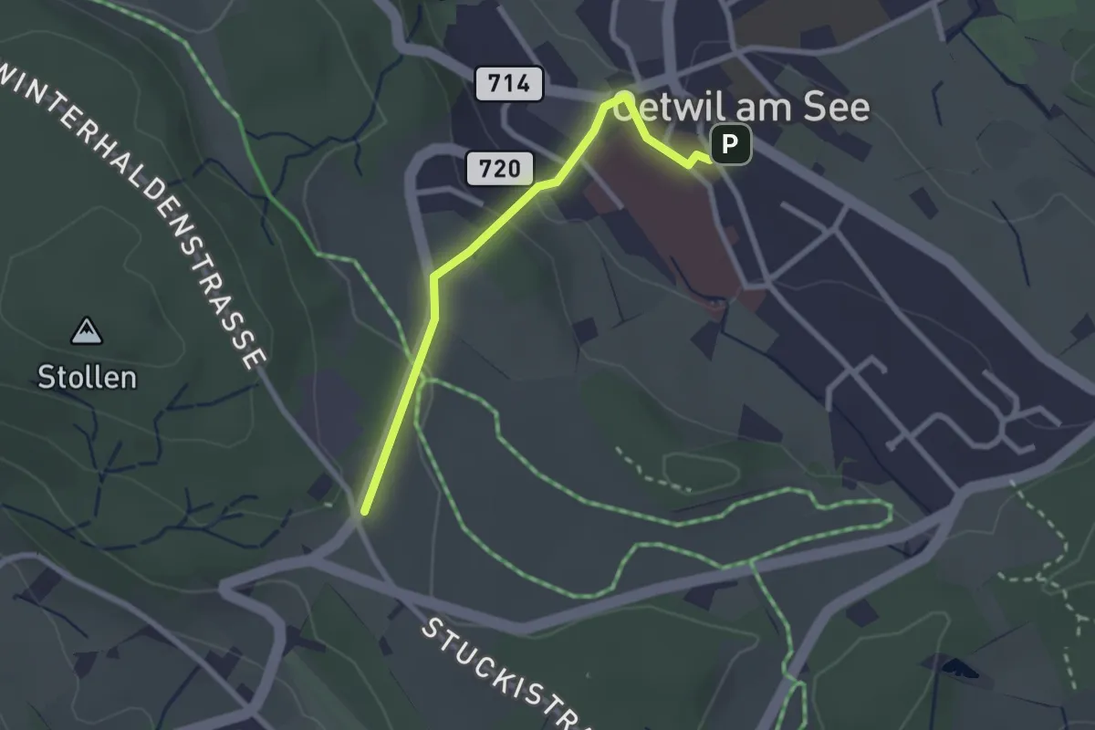
Easy · Trail
Oetwil – Stäfnertürli
2.3 km · ↑ 68 m · 41 min · 14 km away
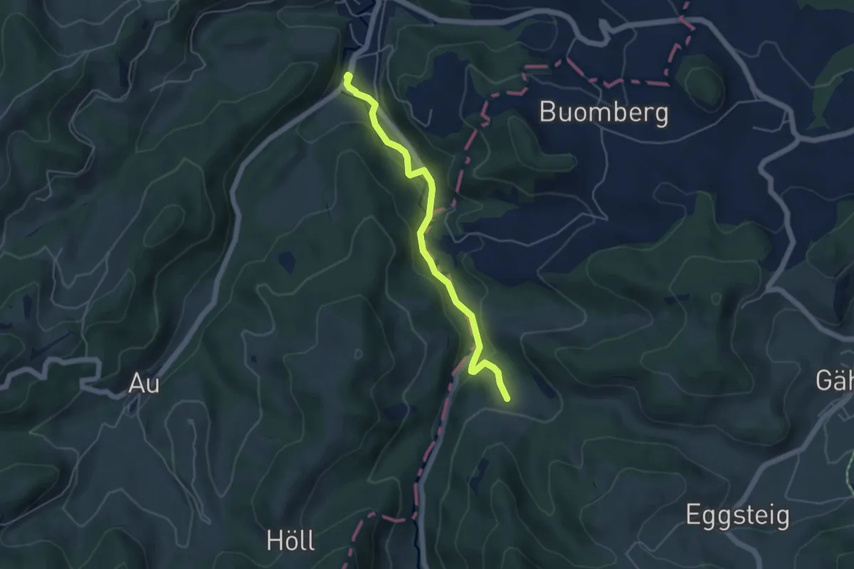
Easy · Trail
Fischingen Kloster - Hüttenstetten
4.5 km · ↑ 124 m · 1 h 19 min · 14 km away
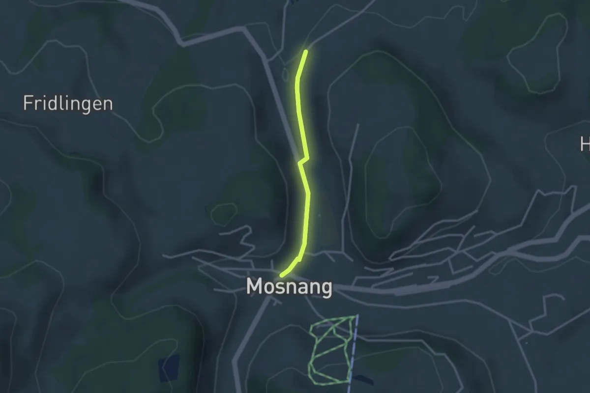
Easy · Trail
Mosnang – Winklen Süd
2.2 km · ↑ 36 m · 35 min · 15 km away
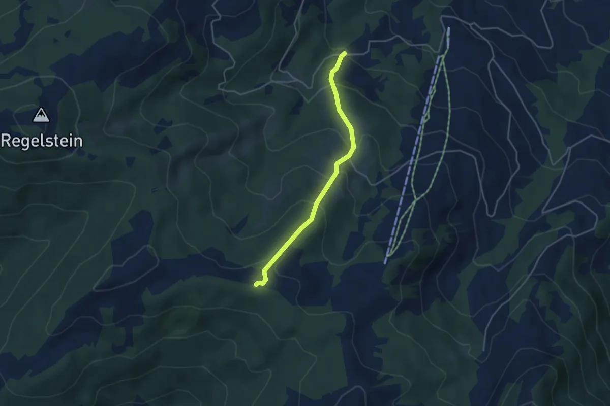
Easy · Trail
Oberbächen – Müslen
3.5 km · ↑ 259 m · 1 h 23 min · 15 km away
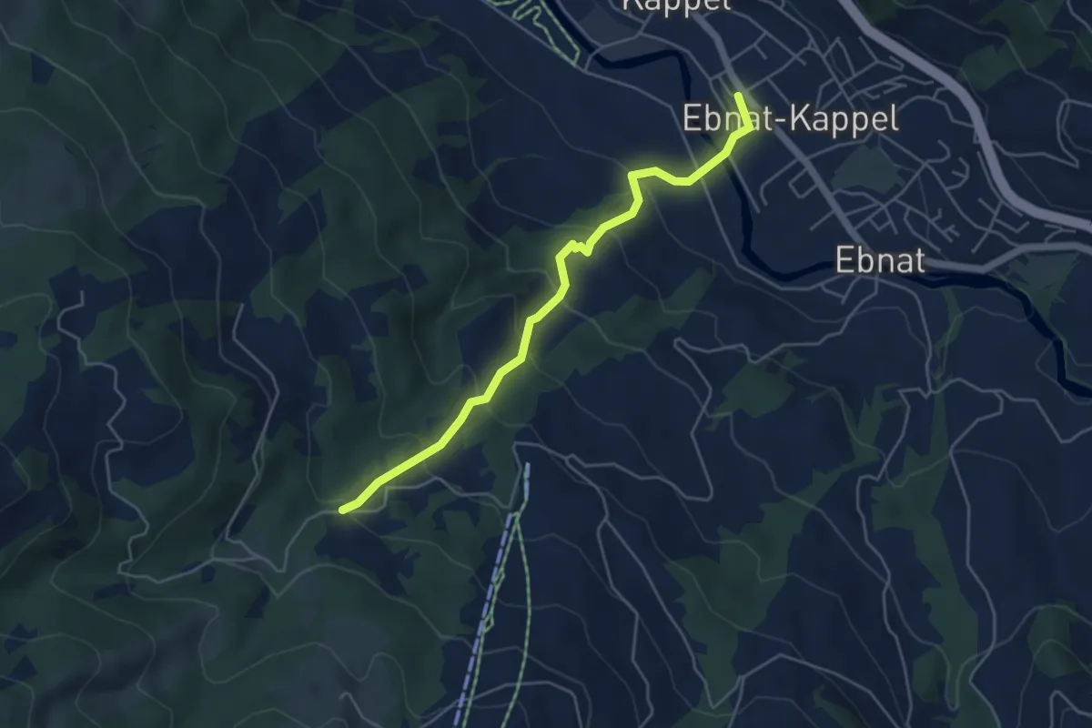
Medium · Trail
Müslen – Ebnat-Kappel
4.7 km · ↑ 323 m · 1 h 49 min · 15 km away
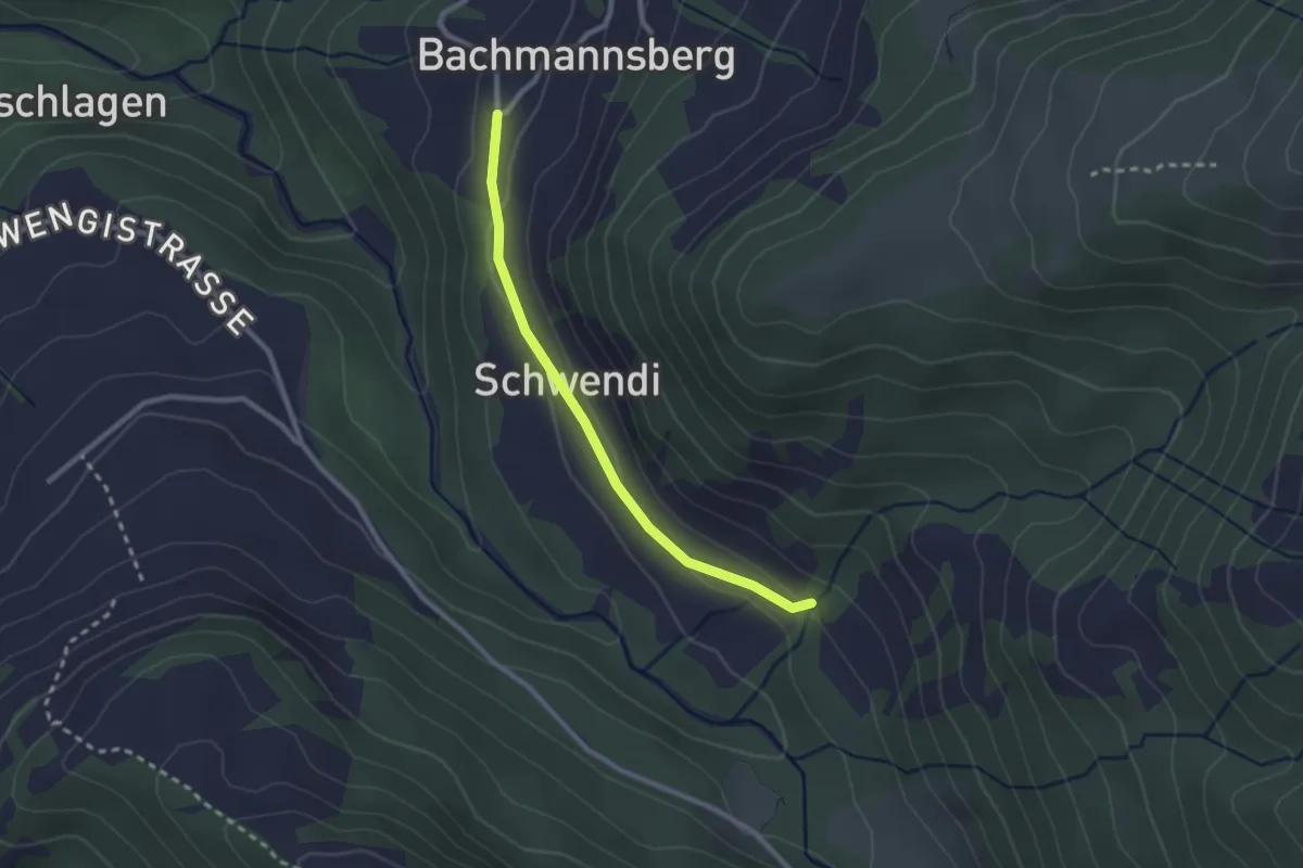
Easy · Trail
Bachmannsberg – Unt. Howald
2.3 km · ↑ 61 m · 40 min · 15 km away
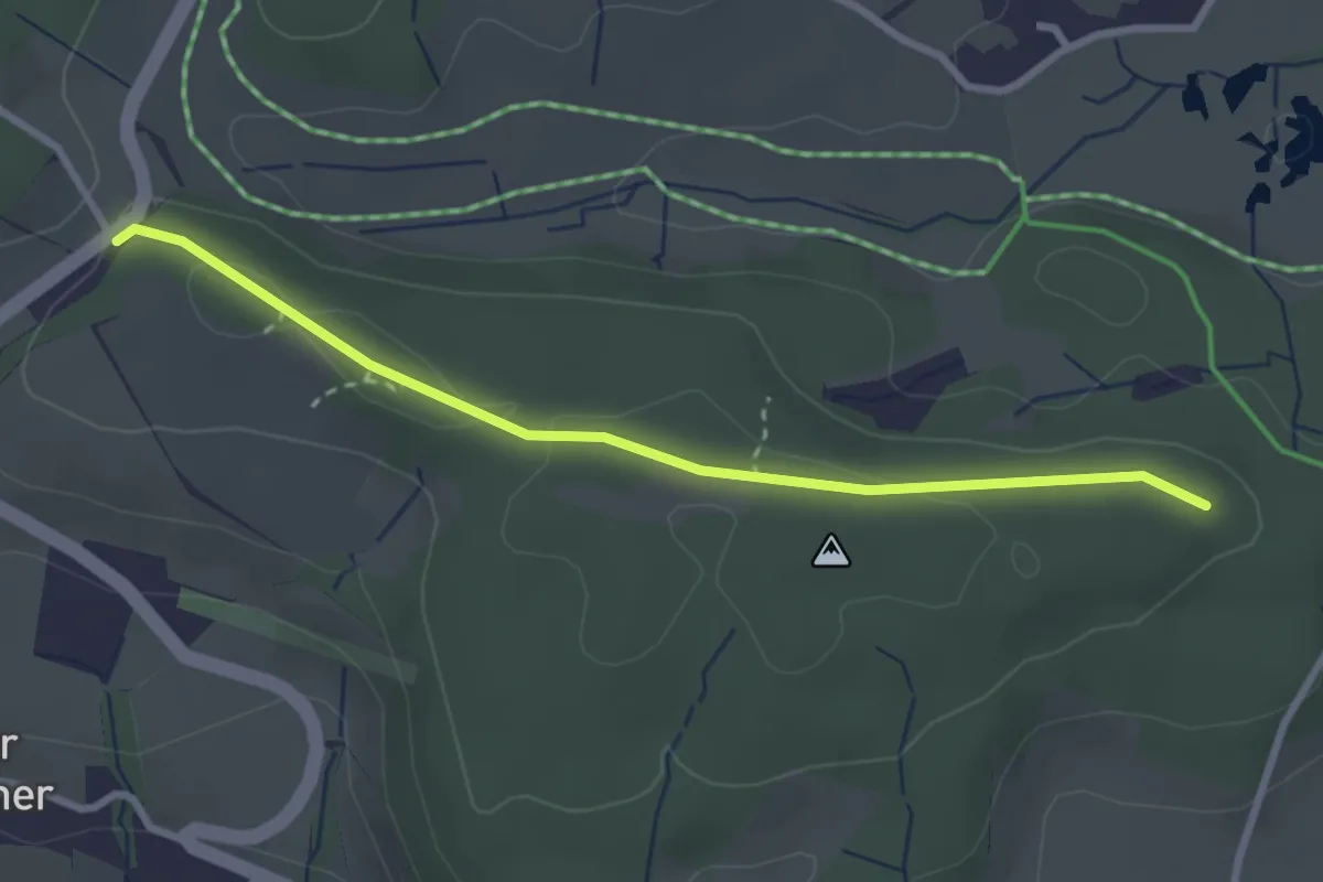
Easy · Trail
Buechstutz - Mülihölzli
2.9 km · ↑ 41 m · 46 min · 15 km away
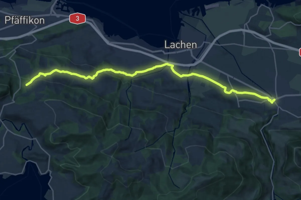
Demanding · Trail
ViaJacobi
21.0 km · ↑ 524 m · 6 h 5 min · 15 km away
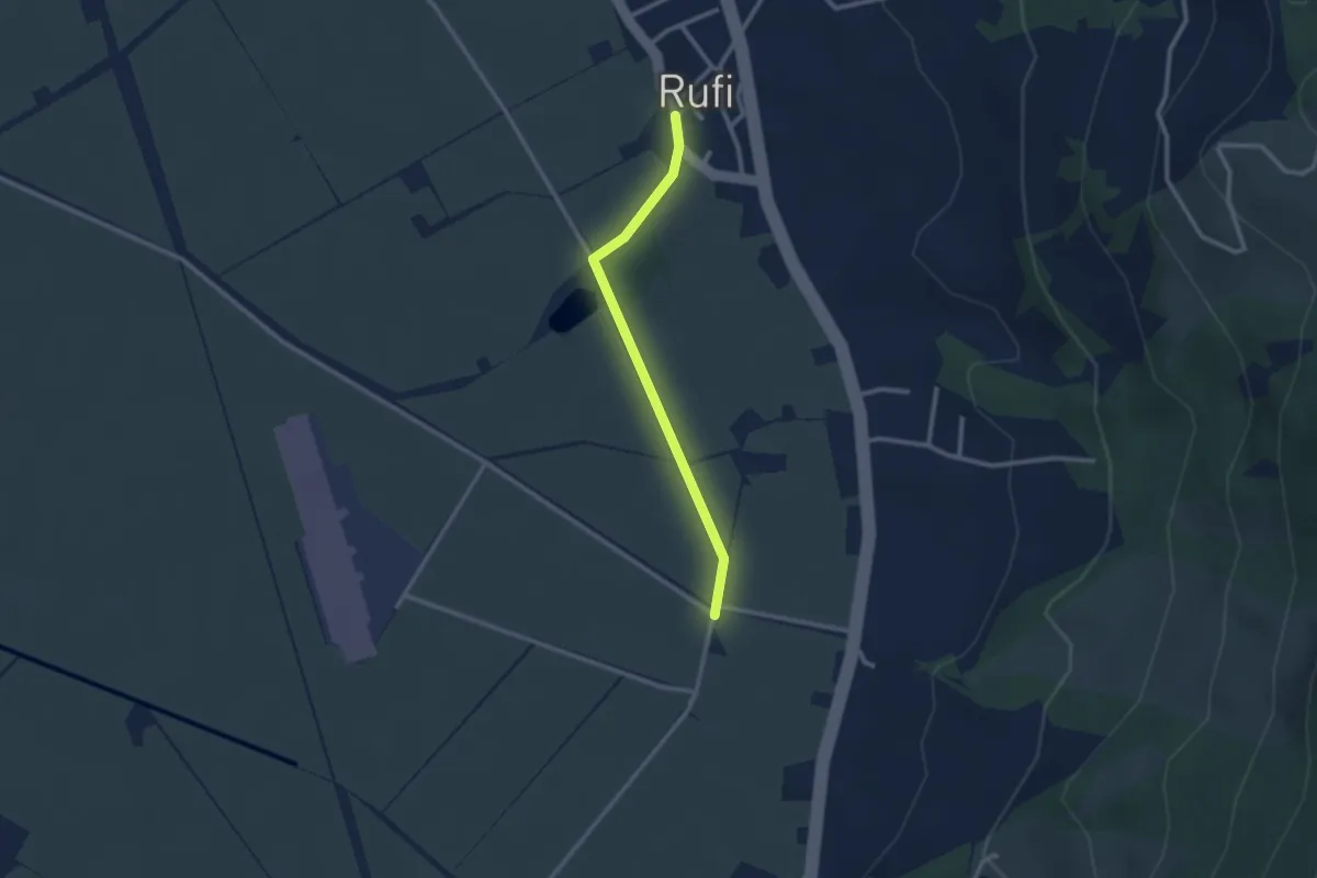
Easy · Trail
Rufi – Warthausen
2.4 km · ↑ 9 m · 34 min · 15 km away
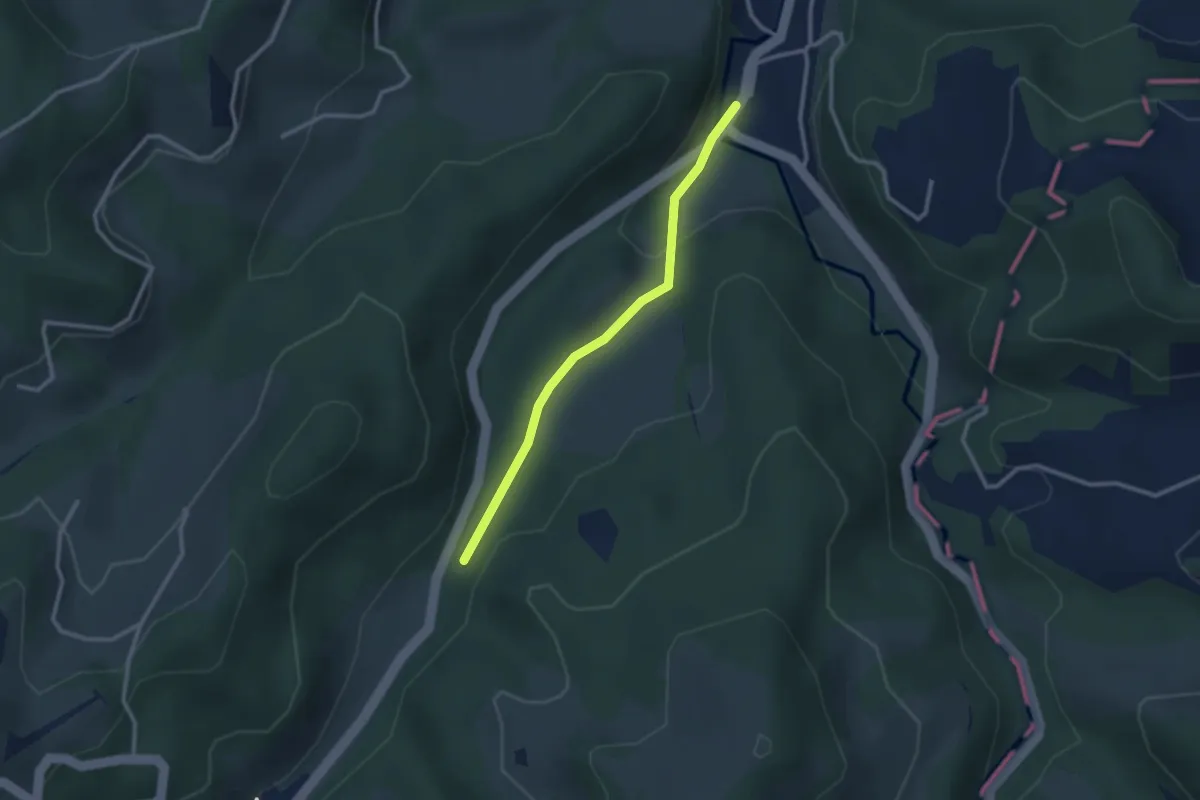
Easy · Trail
Fischingen Kloster - Au - fixme
2.4 km · ↑ 48 m · 41 min · 15 km away
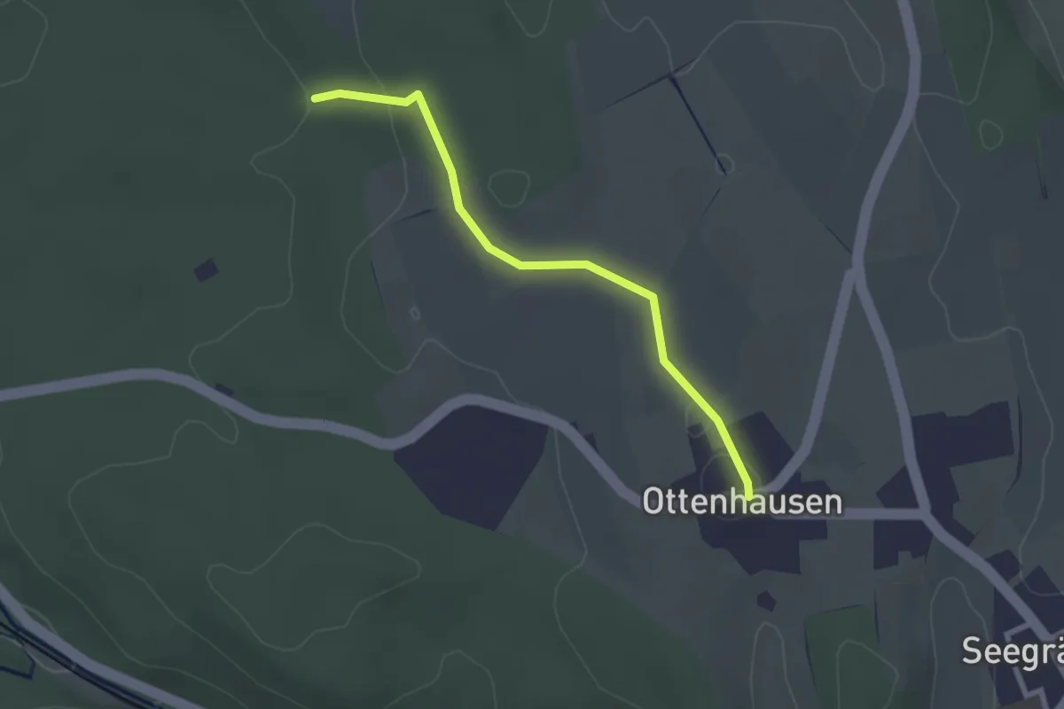
Easy · Trail
Ottenhusen - Römerbrünneli
2.4 km · ↑ 36 m · 39 min · 15 km away
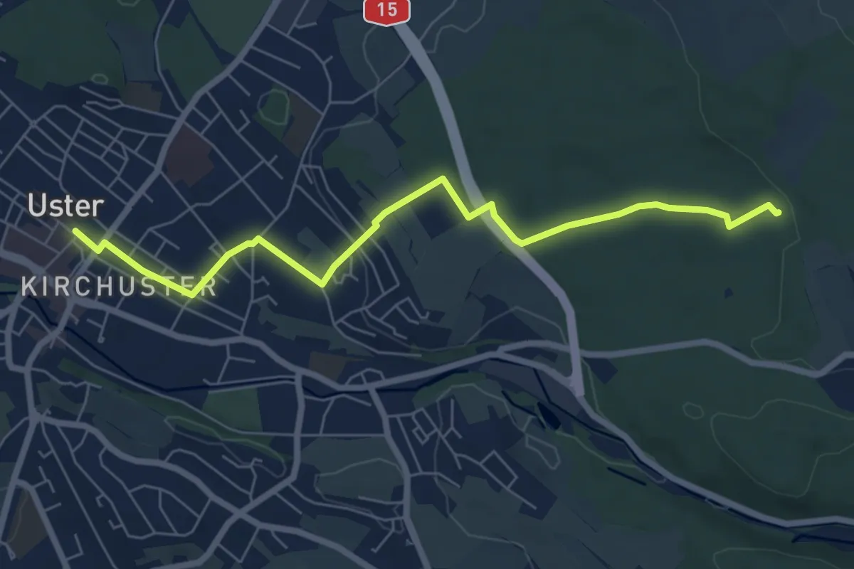
Easy · Trail
Uster - Römerbrünneli
6.7 km · ↑ 94 m · 1 h 47 min · 15 km away
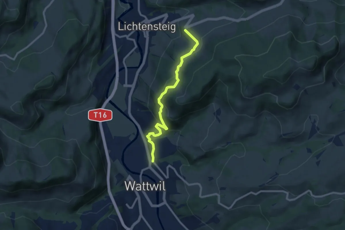
Medium · Trail
Büelstrasse – Burg
6.2 km · ↑ 356 m · 2 h 13 min · 15 km away
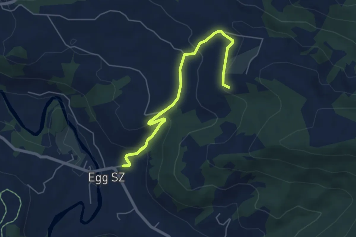
Medium · Trail
Egg - Chörnlisegg
6.3 km · ↑ 323 m · 2 h 11 min · 15 km away
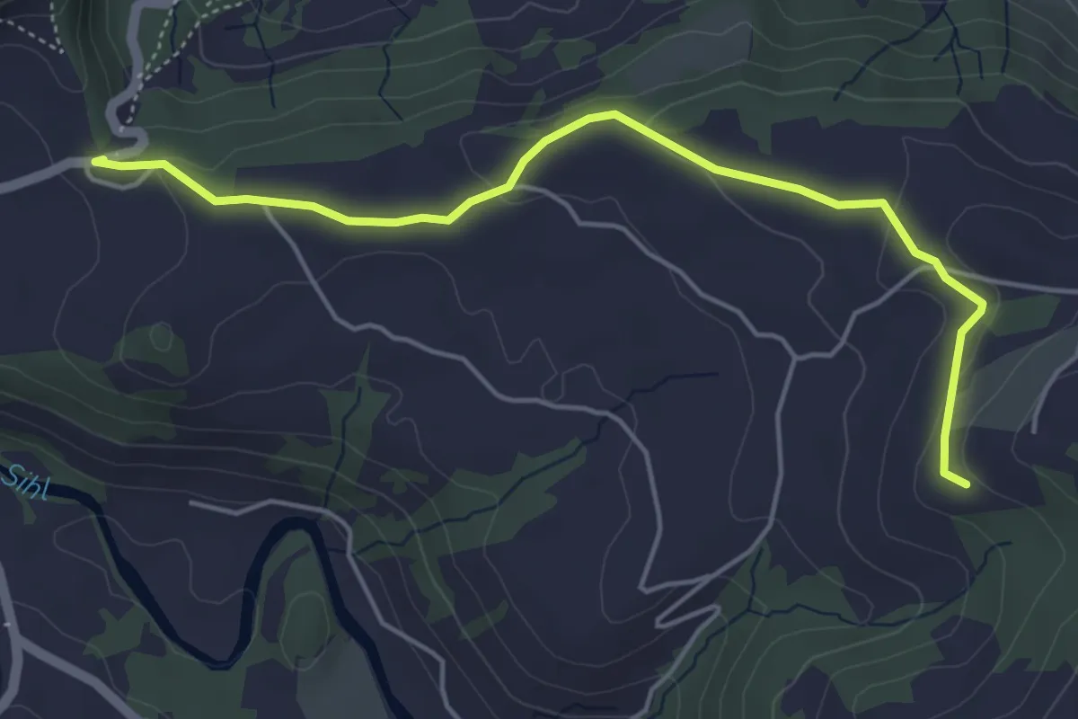
Easy · Trail
St. Meinrad - Chörnlisegg
5.0 km · ↑ 116 m · 1 h 25 min · 15 km away
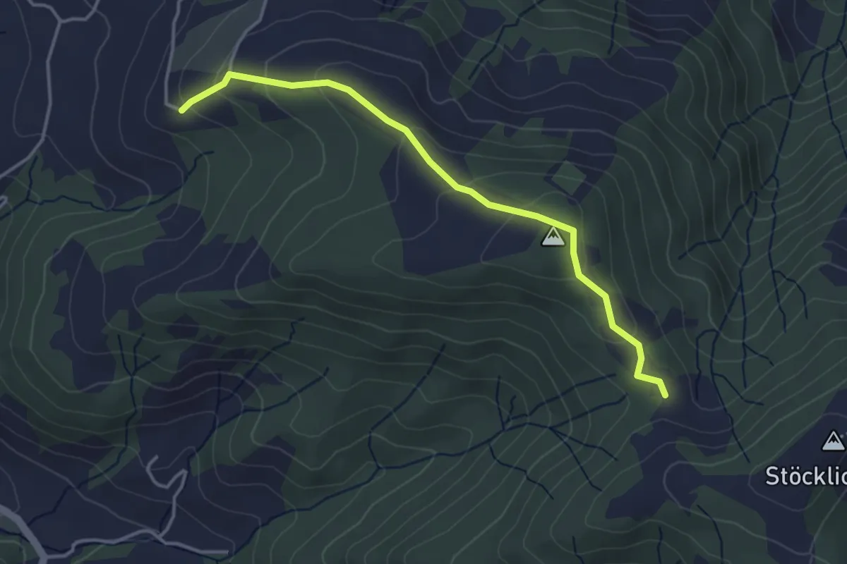
Easy · Trail
Müligassegg - Chörnlisegg
3.8 km · ↑ 160 m · 1 h 15 min · 15 km away
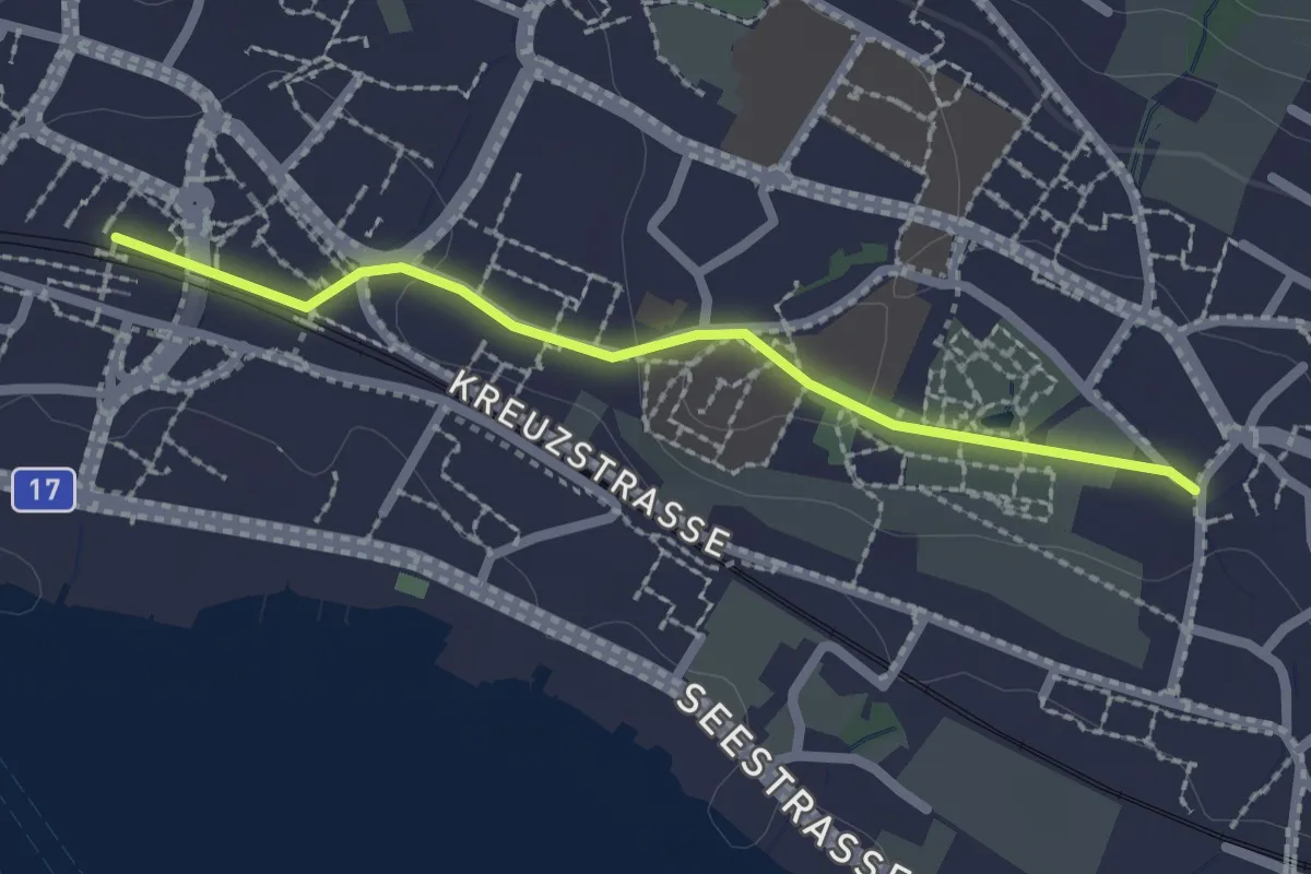
Easy · Trail
Dorf – Stäfa
2.1 km · ↑ 29 m · 33 min · 15 km away
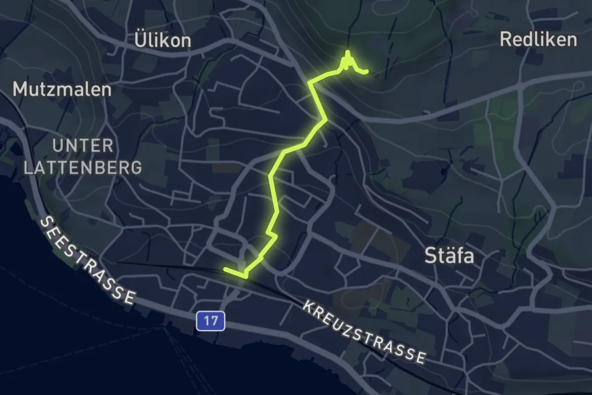
Easy · Trail
Risi – Stäfa
3.2 km · ↑ 165 m · 1 h 7 min · 15 km away