Trails near Wallisellen
591 hikes starting within 15 km, nearest first.
Nearest first, page 12 of 13
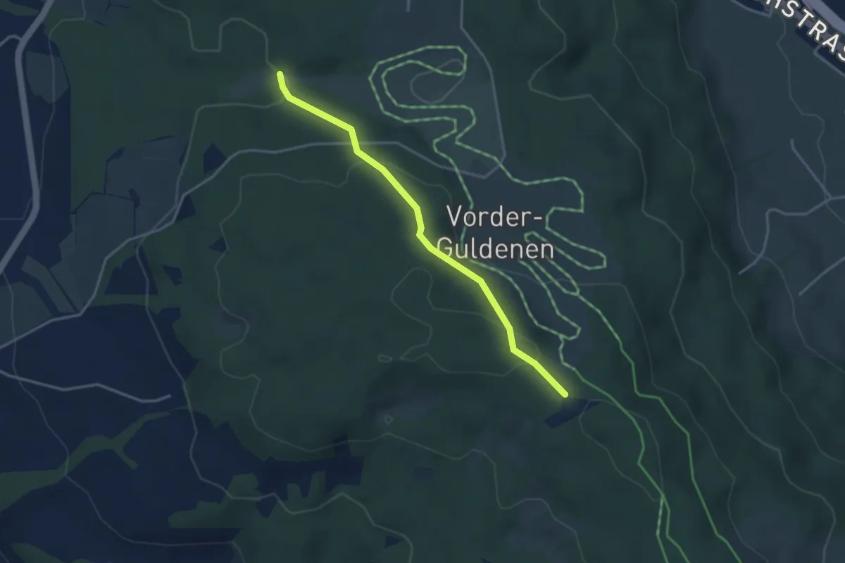
Easy · Trail
Chüelenmorgen – Guldener Höchi
3.3 km · ↑ 119 m · 1 h 2 min · 14 km away
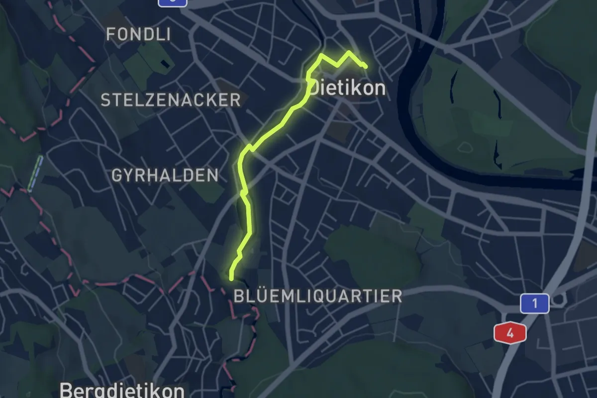
Easy · Trail
Dietikon - Basi
3.8 km · ↑ 22 m · 57 min · 14 km away
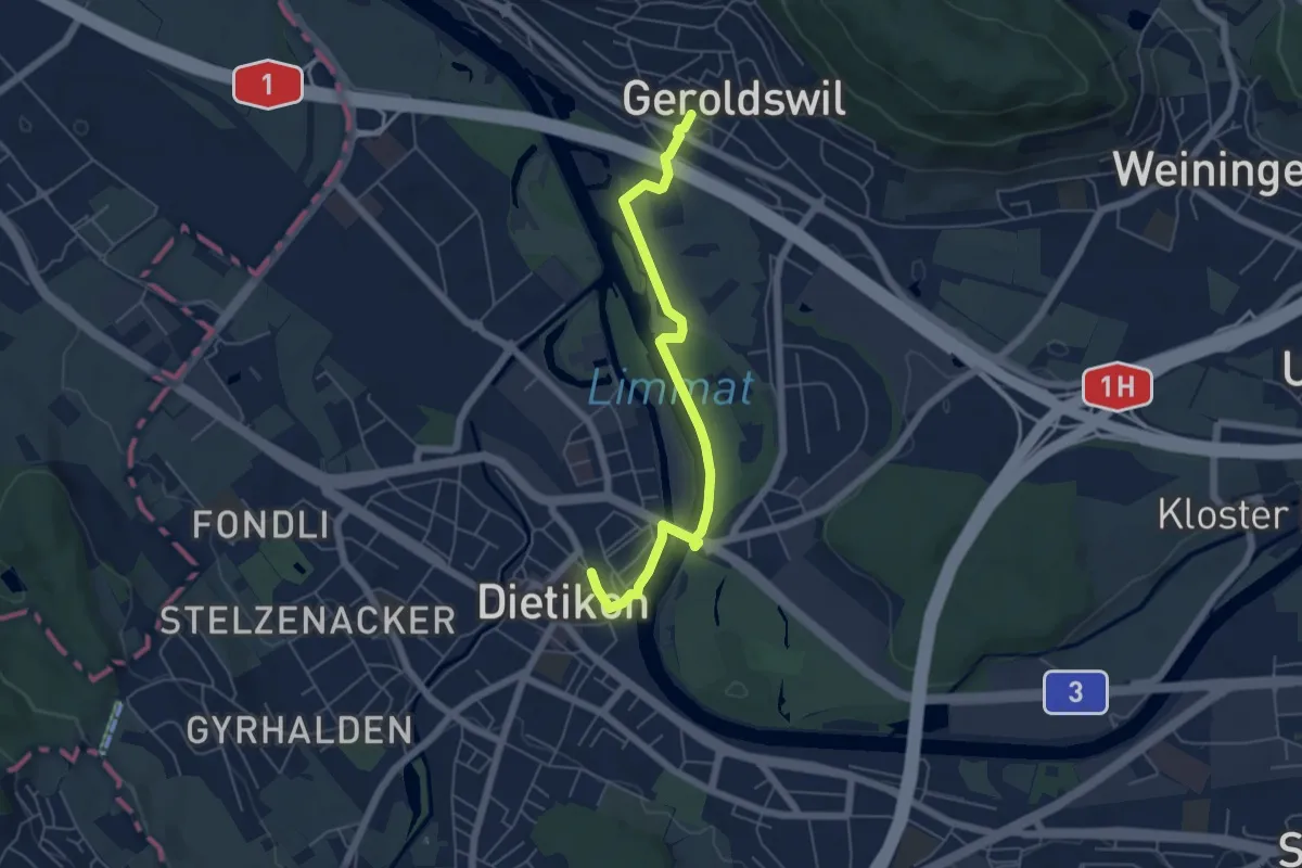
Easy · Trail
Dietikon - Geroldswil
5.5 km · ↑ 29 m · 1 h 22 min · 14 km away
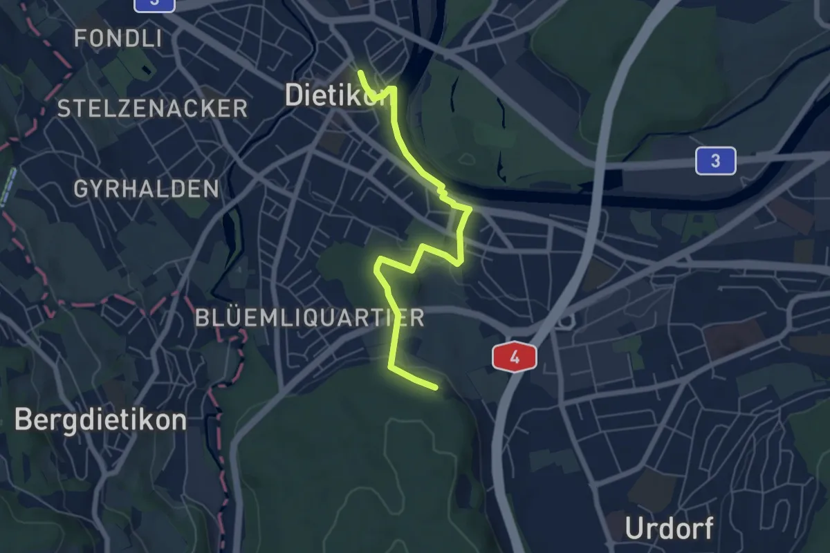
Easy · Trail
Dietikon - Lindenbüel
5.6 km · ↑ 84 m · 1 h 30 min · 14 km away
Easy · Trail
Werd - Dietikon
5.6 km · ↑ 8 m · 1 h 21 min · 14 km away
Easy · Trail
Uster - Römerbrünneli
6.7 km · ↑ 94 m · 1 h 47 min · 14 km away
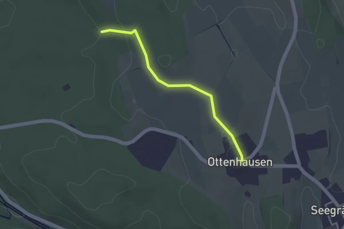
Easy · Trail
Ottenhusen - Römerbrünneli
2.4 km · ↑ 36 m · 39 min · 14 km away
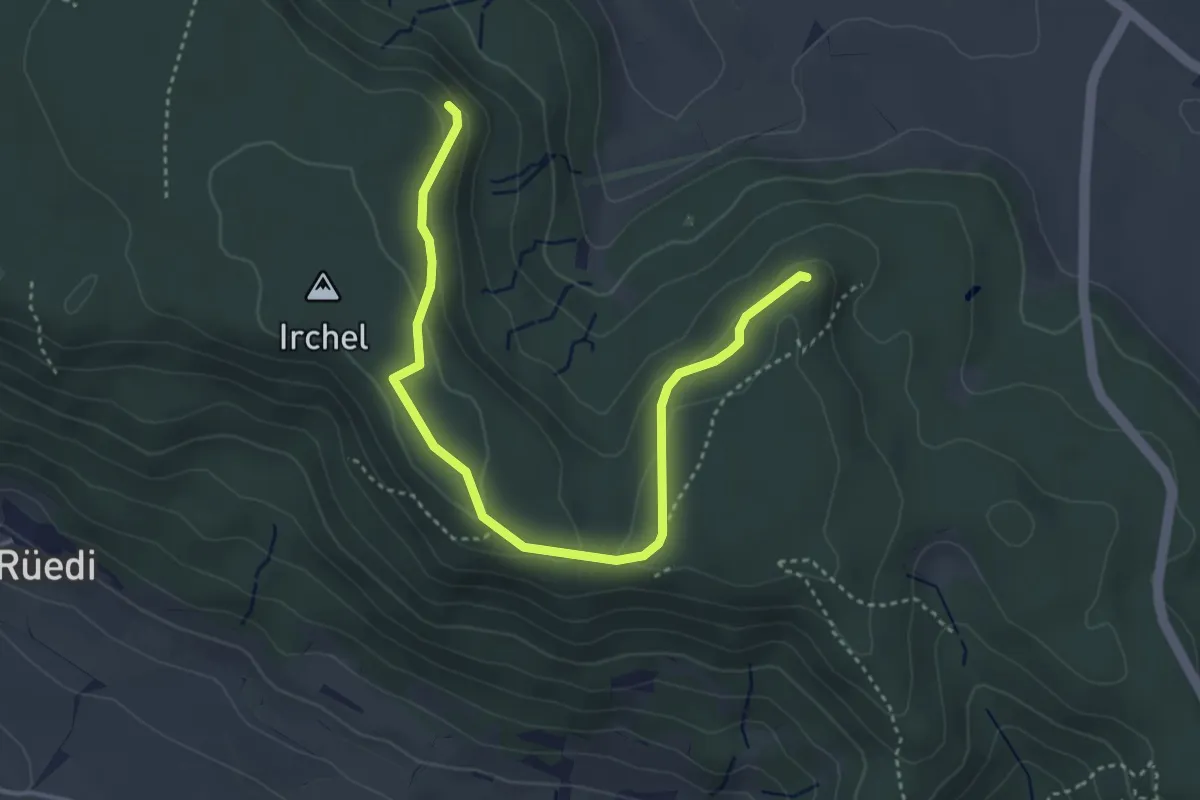
Easy · Trail
Schaffhuser – Heerenbänkli Irchelturm
4.2 km · ↑ 110 m · 1 h 14 min · 14 km away
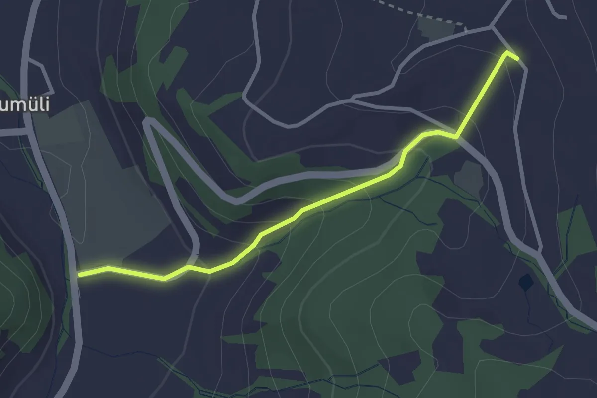
Easy · Trail
Hinter Buchenegg – Tägerst
2.6 km · ↑ 159 m · 58 min · 14 km away
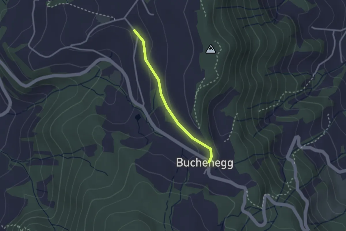
Easy · Trail
Buechenegg – Hinter Buechenegg
2.0 km · ↑ 37 m · 33 min · 14 km away
Easy · Trail
Weisslingen – Lendikon
3.9 km · ↑ 105 m · 1 h 9 min · 14 km away
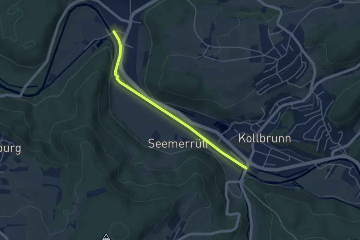
Easy · Trail
Sennhof – Kollbrunn
3.8 km · ↑ 29 m · 57 min · 14 km away
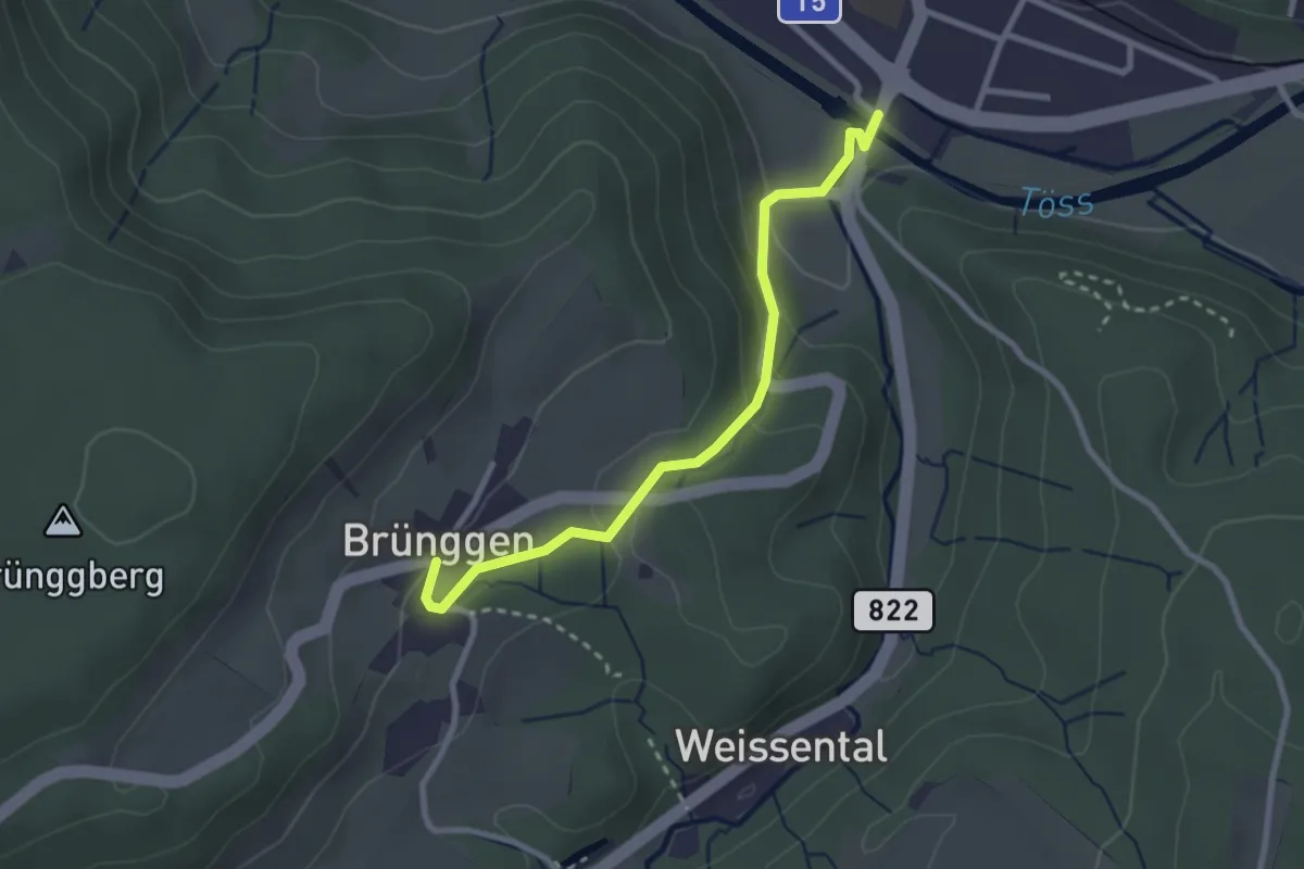
Easy · Trail
Kollbrunn – Brünggen
2.7 km · ↑ 110 m · 52 min · 14 km away
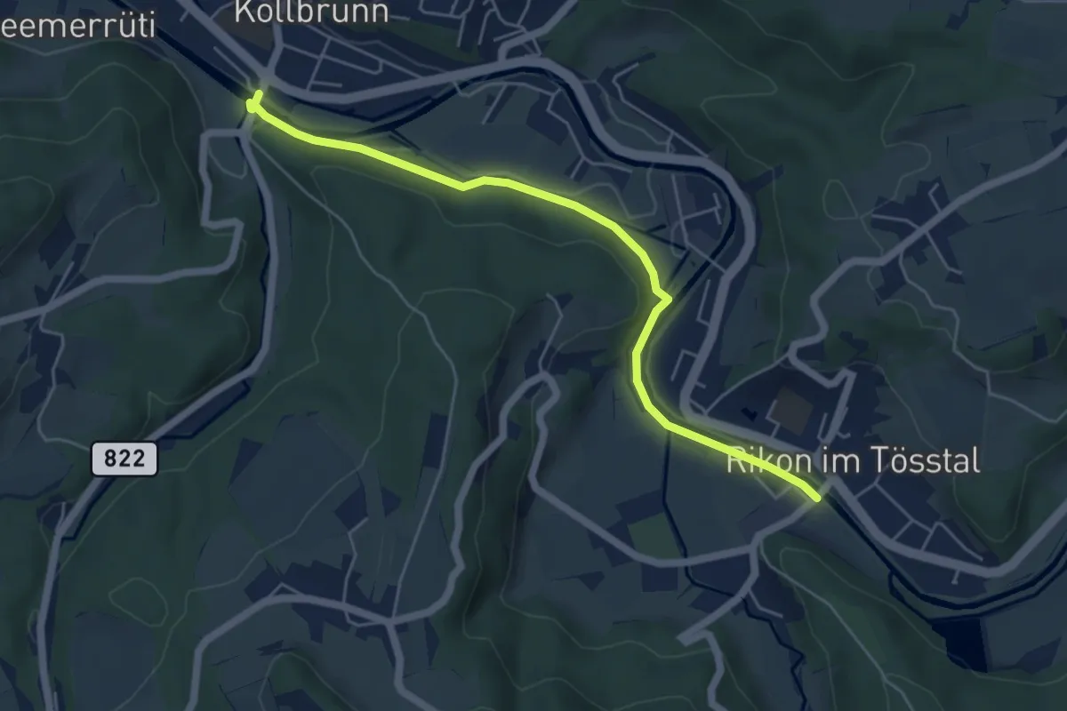
Easy · Trail
Rikon Brücke – Kollbrunn
5.3 km · ↑ 86 m · 1 h 27 min · 14 km away
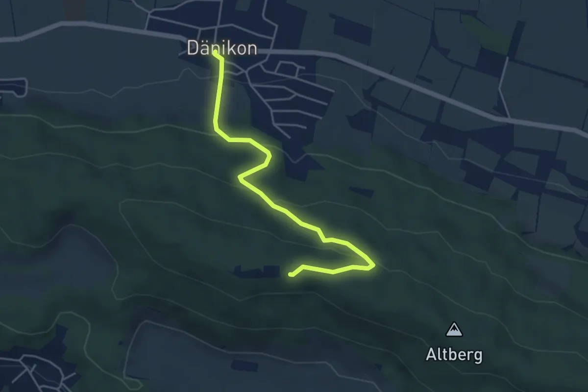
Easy · Cabin
Dänikon - Altberg
4.2 km · ↑ 195 m · 1 h 25 min · 14 km away
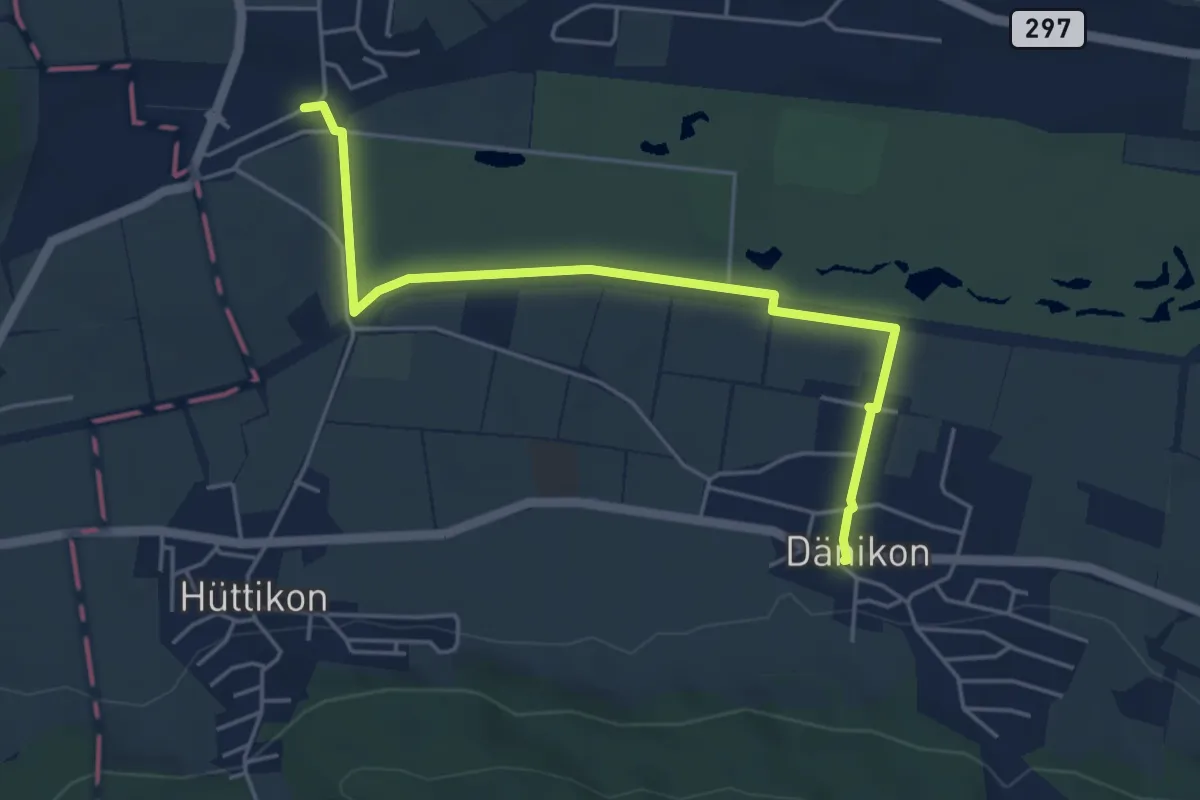
Easy · Trail
Otelfingen Bahnhof - Dänikon
5.0 km · ↑ 22 m · 1 h 14 min · 14 km away
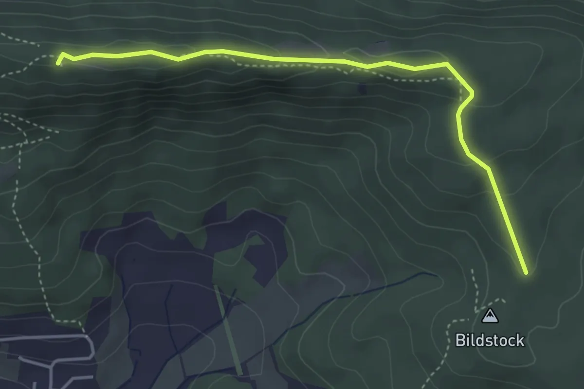
Medium · Summit
Lägern Hochwacht – Bildstock
4.1 km · ↑ 162 m · 1 h 18 min · 14 km away
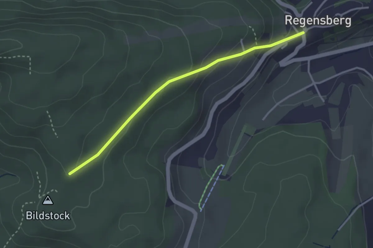
Easy · Trail
Bildstock – Regensberg
2.9 km · ↑ 125 m · 57 min · 14 km away
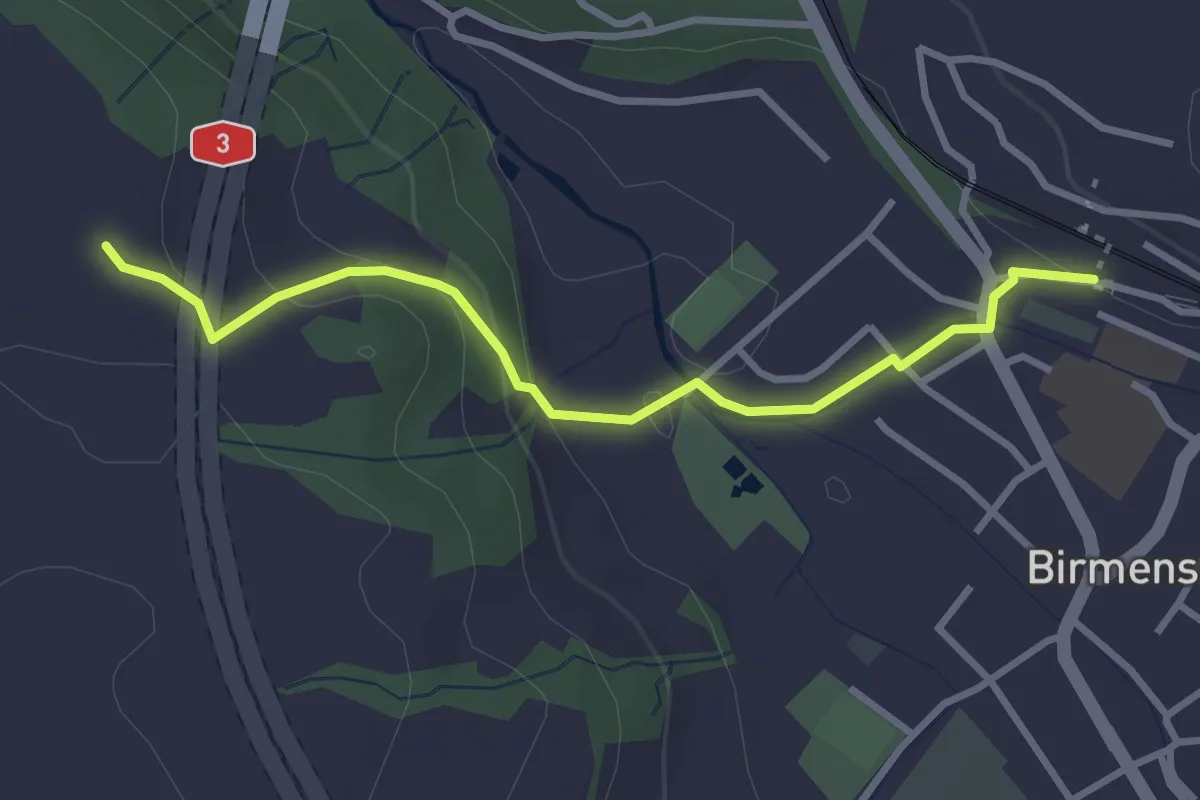
Easy · Trail
Birmensdorf - Hafnerberg
3.1 km · ↑ 124 m · 1 h 1 min · 15 km away
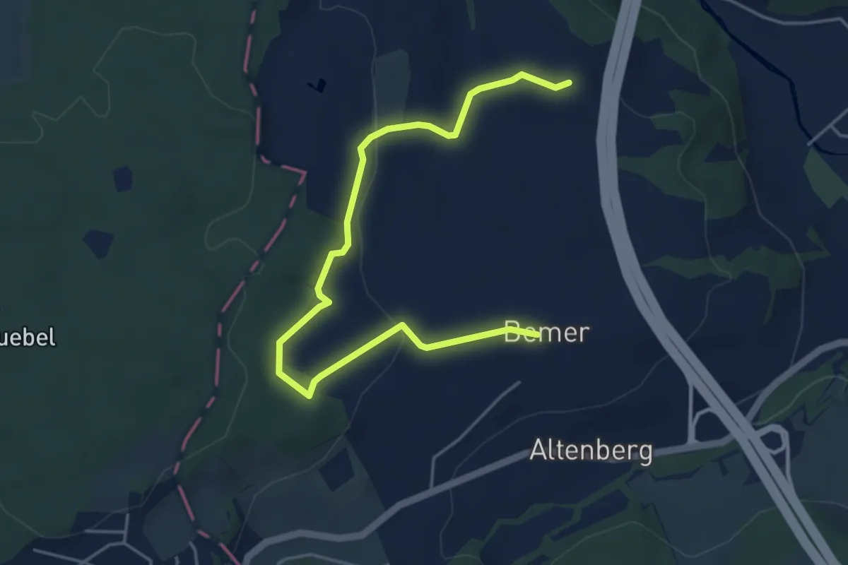
Easy · Trail
Bemer - Hafnerberg
5.2 km · ↑ 130 m · 1 h 30 min · 15 km away
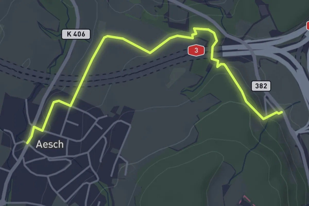
Easy · Trail
Aesch – Filderen
4.6 km · ↑ 116 m · 1 h 21 min · 15 km away
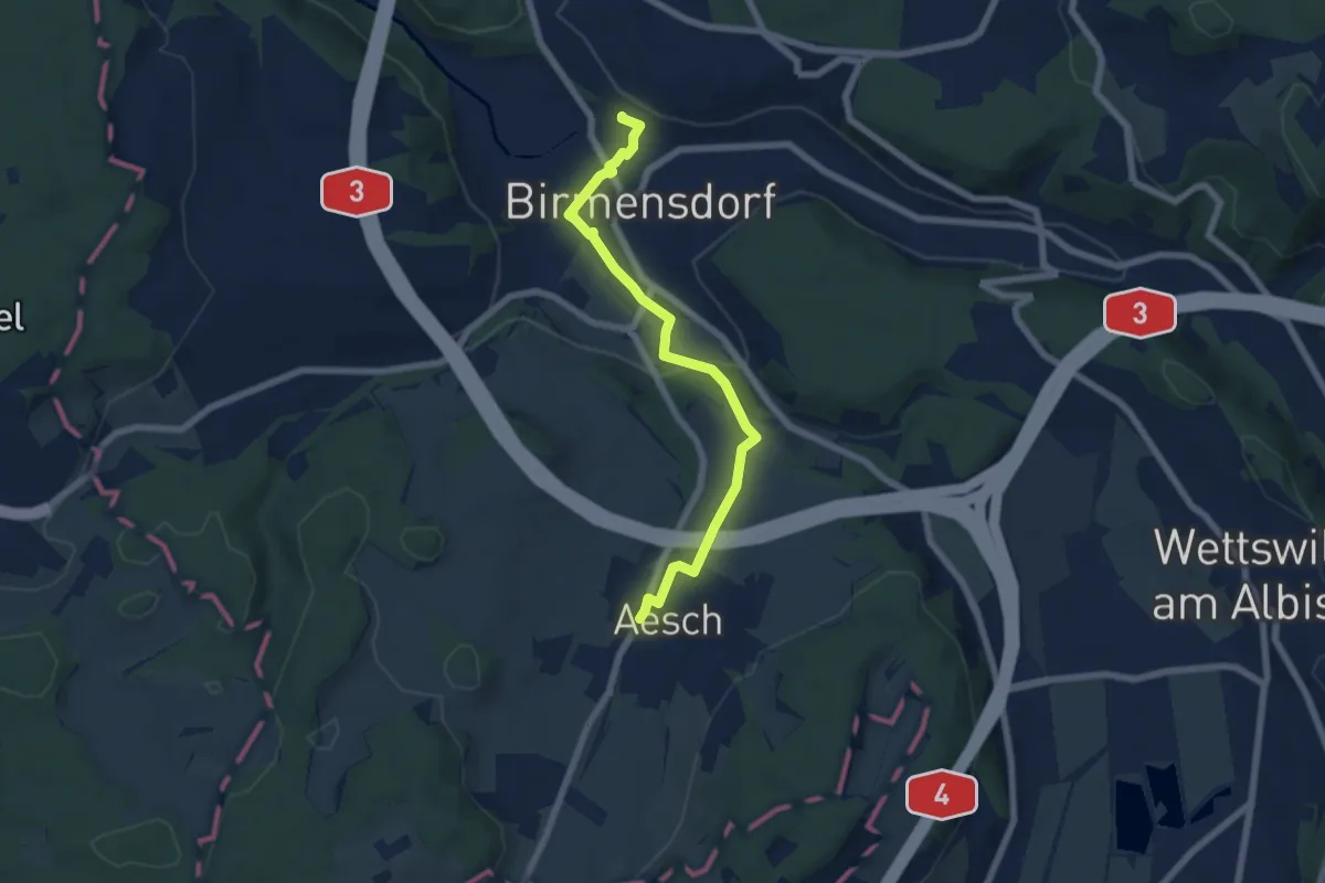
Easy · Trail
Birmensdorf – Aesch
6.3 km · ↑ 126 m · 1 h 46 min · 15 km away
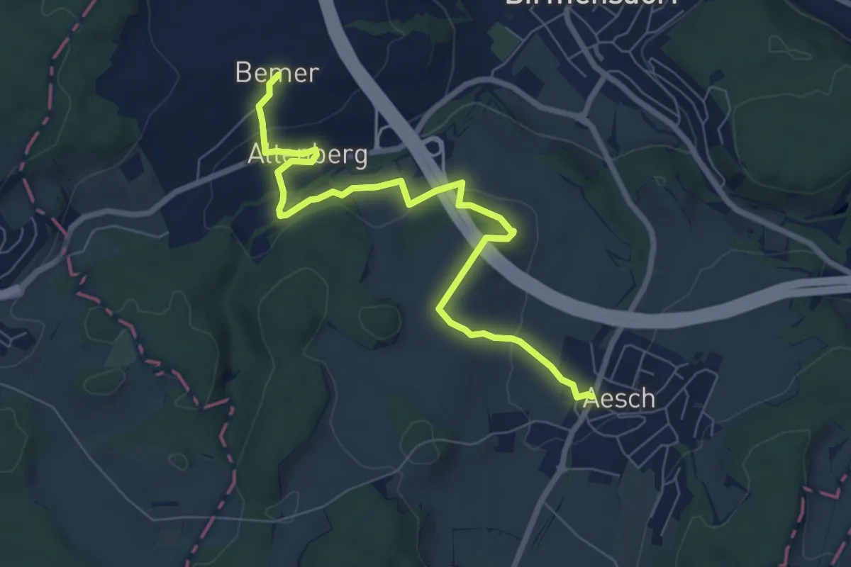
Easy · Trail
Aesch – Bemer
7.6 km · ↑ 204 m · 2 h 15 min · 15 km away
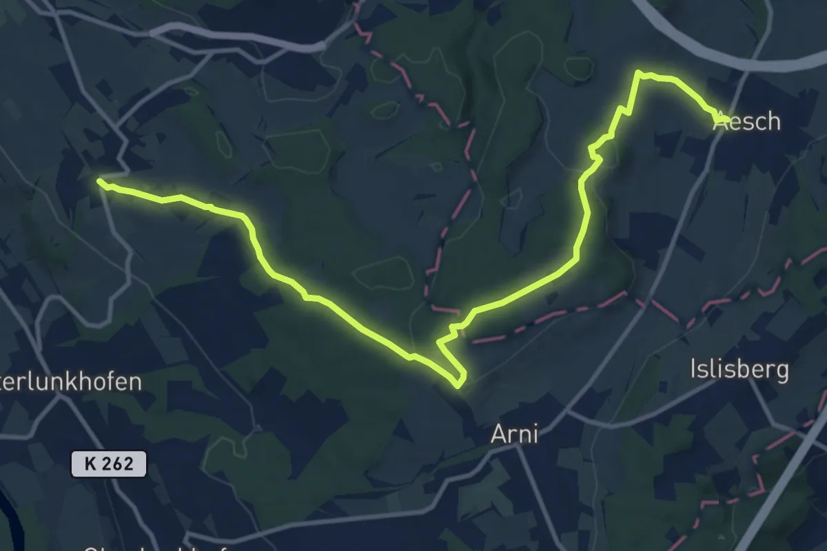
Medium · Trail
Aesch – Oberwil
13.0 km · ↑ 232 m · 3 h 34 min · 15 km away
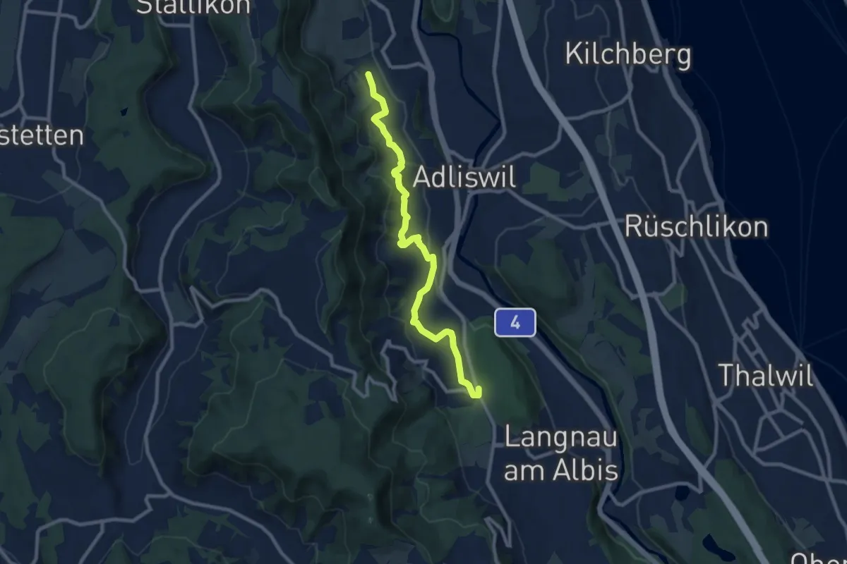
Medium · Trail
Ober Leimbach – Waldi
8.9 km · ↑ 368 m · 2 h 54 min · 15 km away
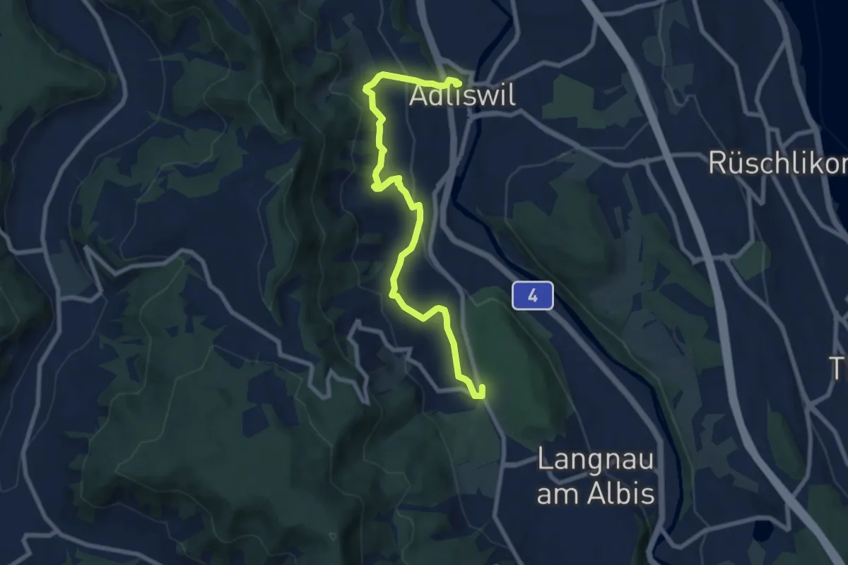
Medium · Trail
Adliswil (Bahnhof) – Waldi
8.0 km · ↑ 388 m · 2 h 43 min · 15 km away
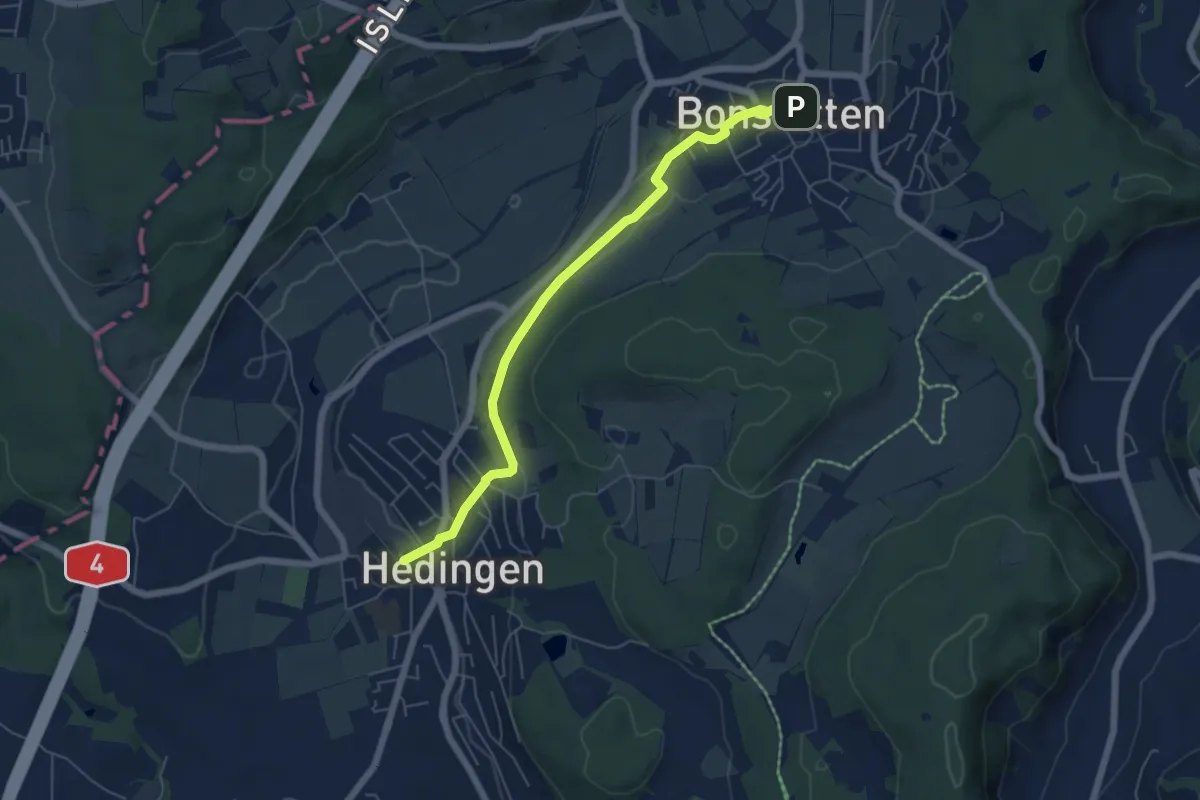
Easy · Trail
Hedingen Station – Bonstetten
5.8 km · ↑ 105 m · 1 h 36 min · 15 km away
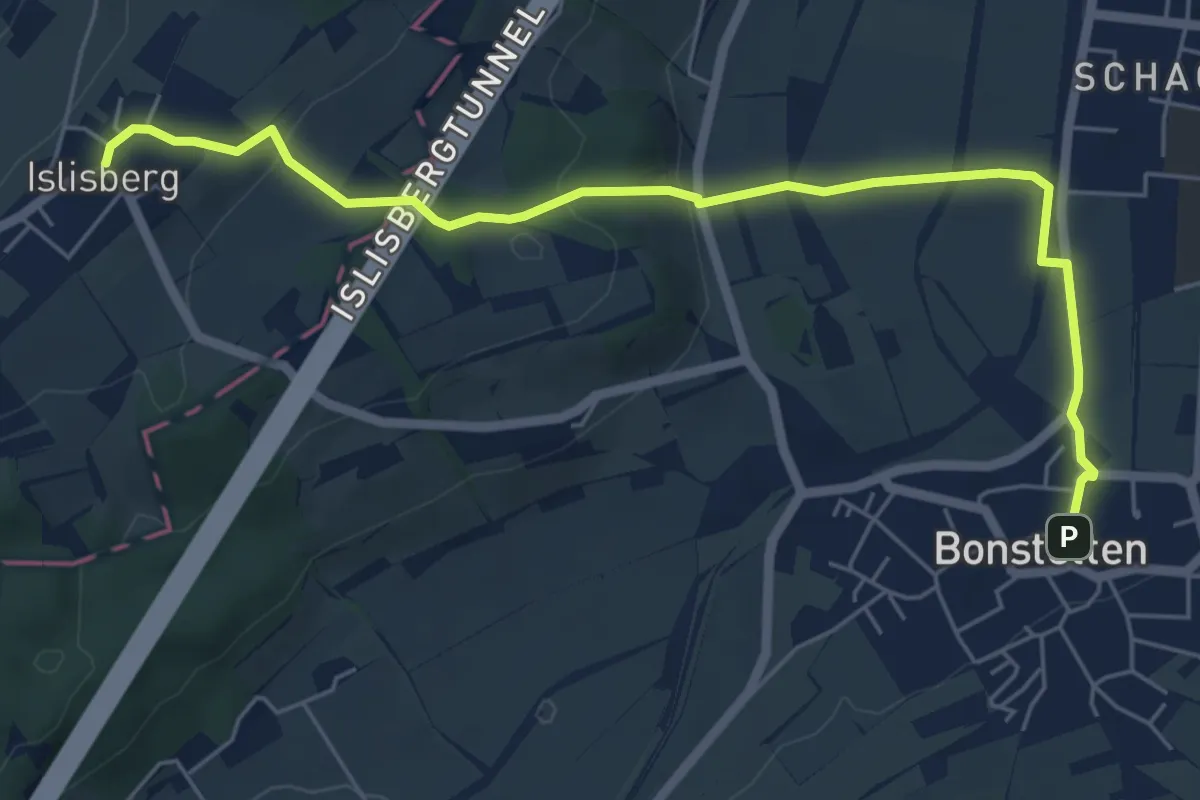
Easy · Trail
Bonstetten – Islisberg
6.4 km · ↑ 162 m · 1 h 51 min · 15 km away
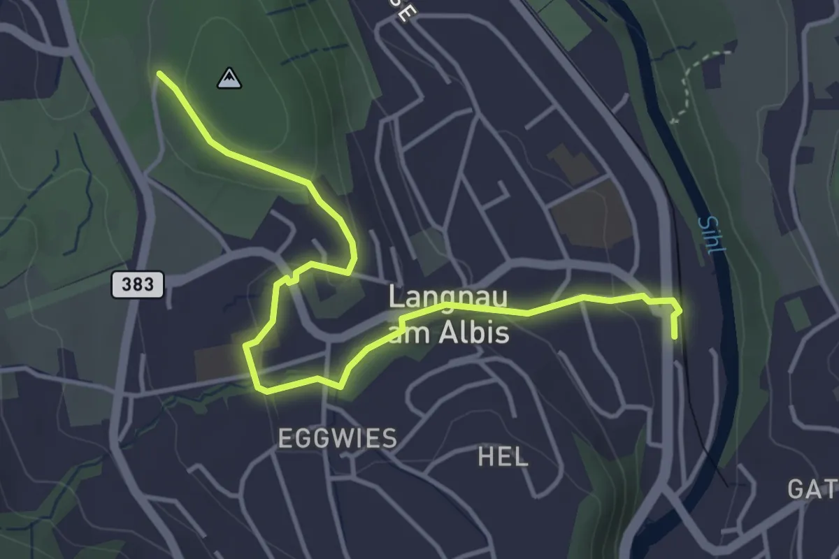
Easy · Trail
Wildpark Langenberg – Langnau-Gattikon
4.3 km · ↑ 114 m · 1 h 16 min · 15 km away
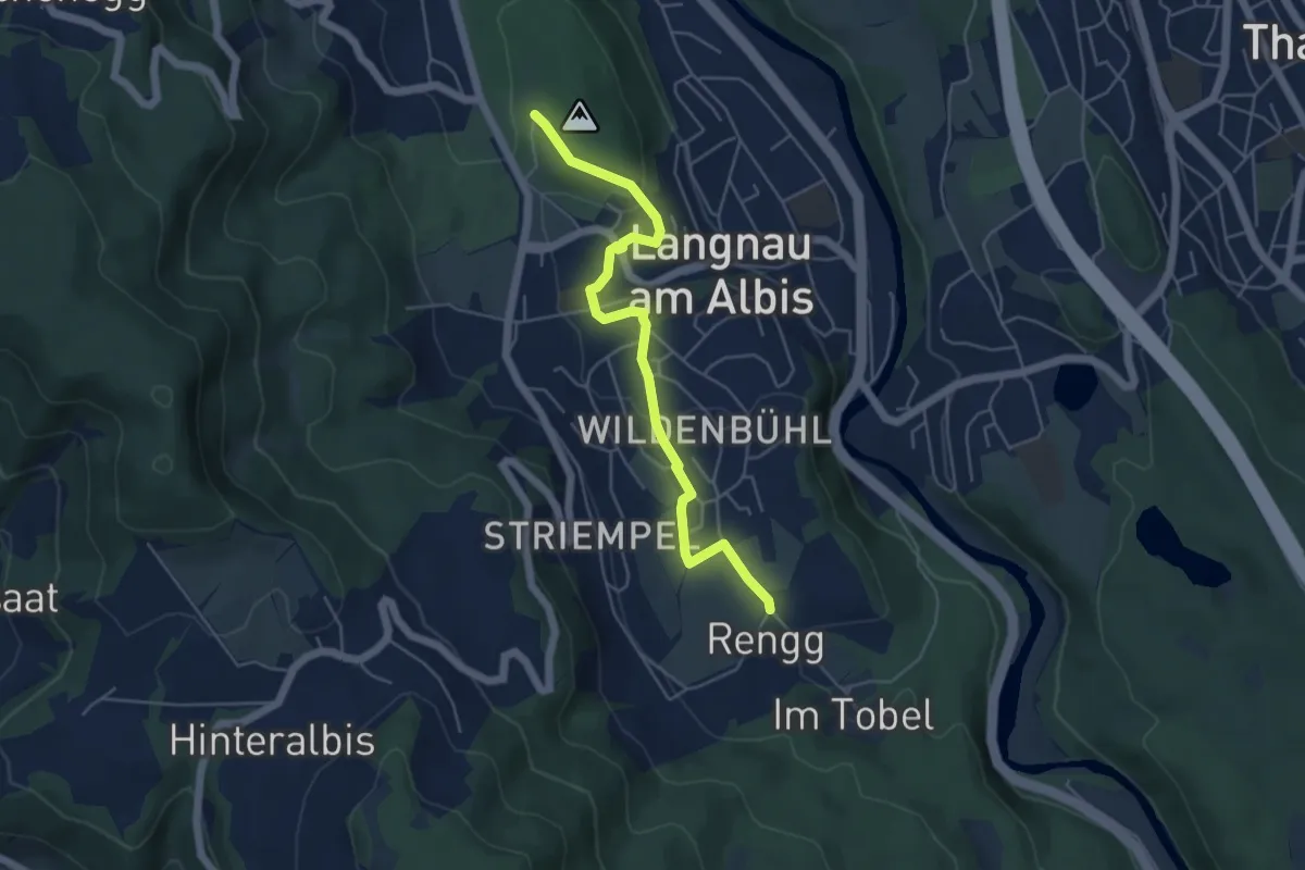
Easy · Trail
Rängg – Wildpark Langenberg
5.1 km · ↑ 99 m · 1 h 25 min · 15 km away
Easy · Trail
Vorderhüttikerberg – Rotris
2.4 km · ↑ 48 m · 41 min · 15 km away
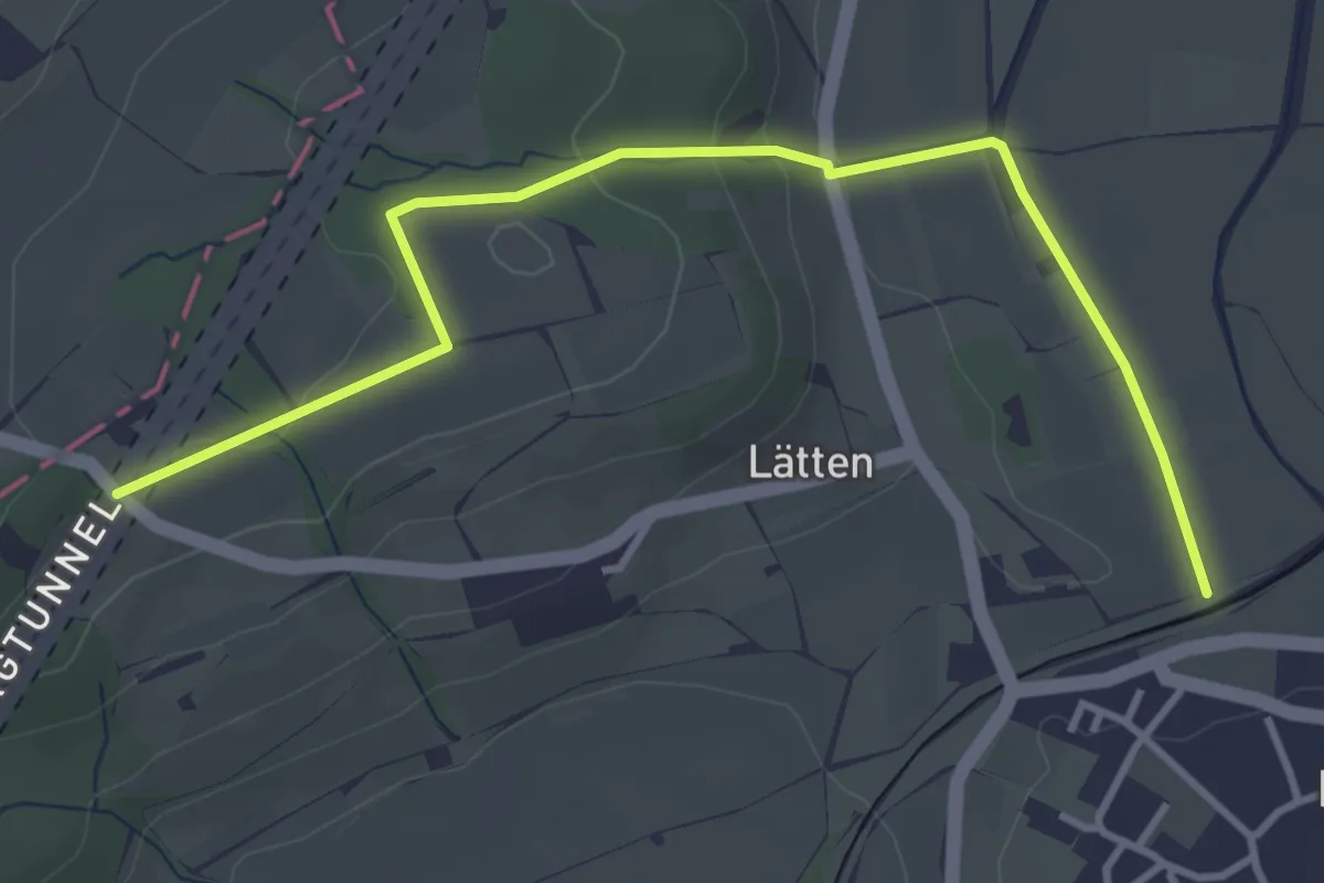
Easy · Trail
Rundweg
4.1 km · ↑ 113 m · 1 h 13 min · 15 km away
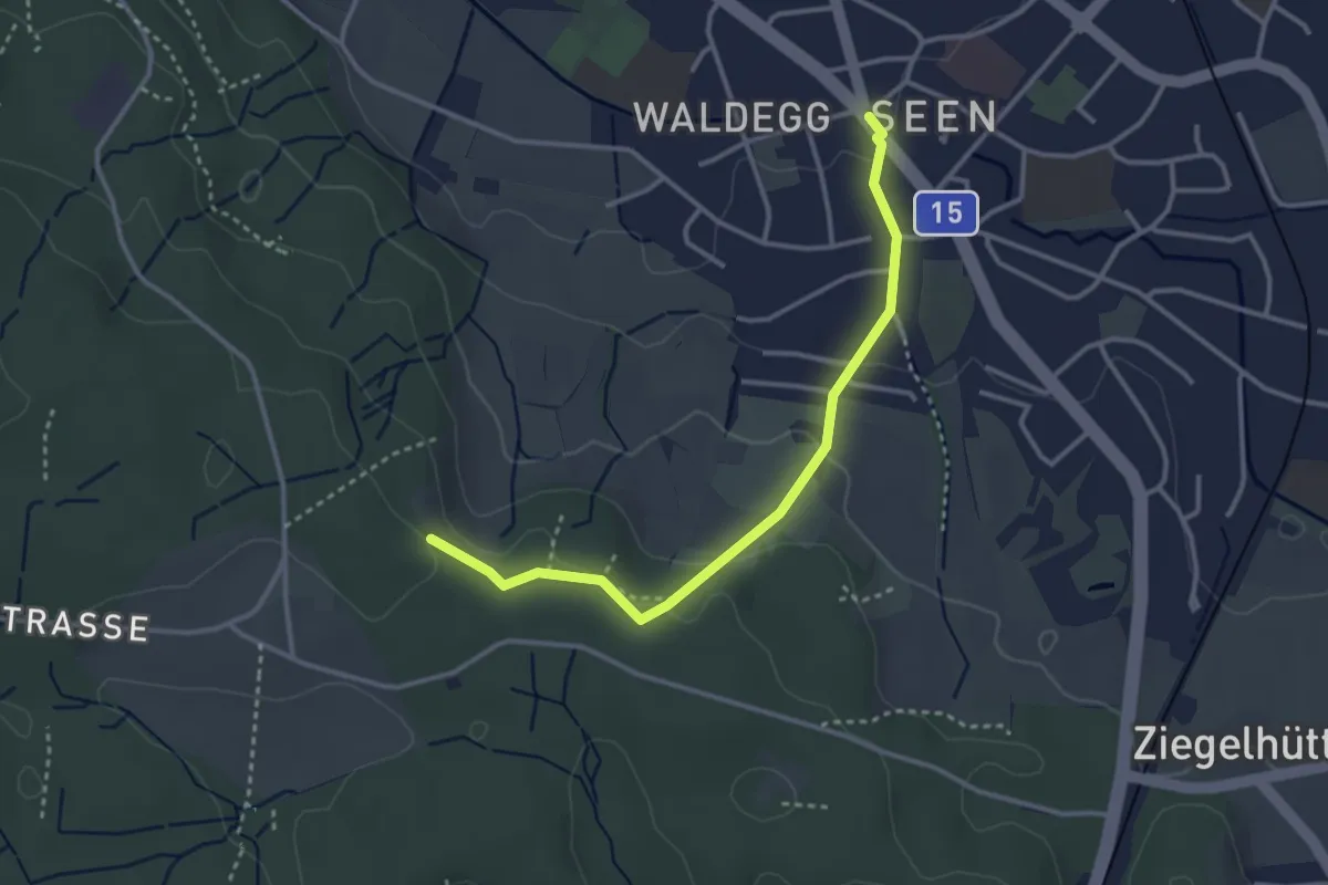
Easy · Trail
Seen – Paradis
3.2 km · ↑ 95 m · 58 min · 15 km away
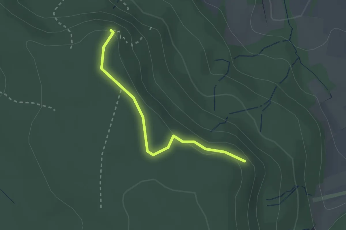
Easy · Trail
Rütelbuck - Schaffhuser
2.1 km · ↑ 38 m · 35 min · 15 km away
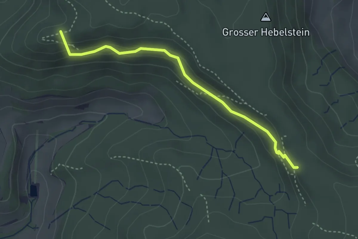
Easy · Summit
Ober Teufen - Schartenflue
3.3 km · ↑ 159 m · 1 h 8 min · 15 km away
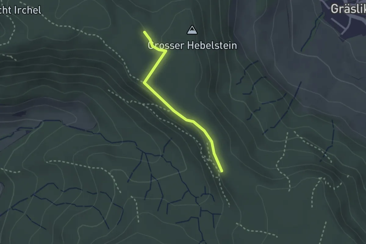
Easy · Trail
Schartenflue – Hebelstein
2.1 km · ↑ 29 m · 34 min · 15 km away
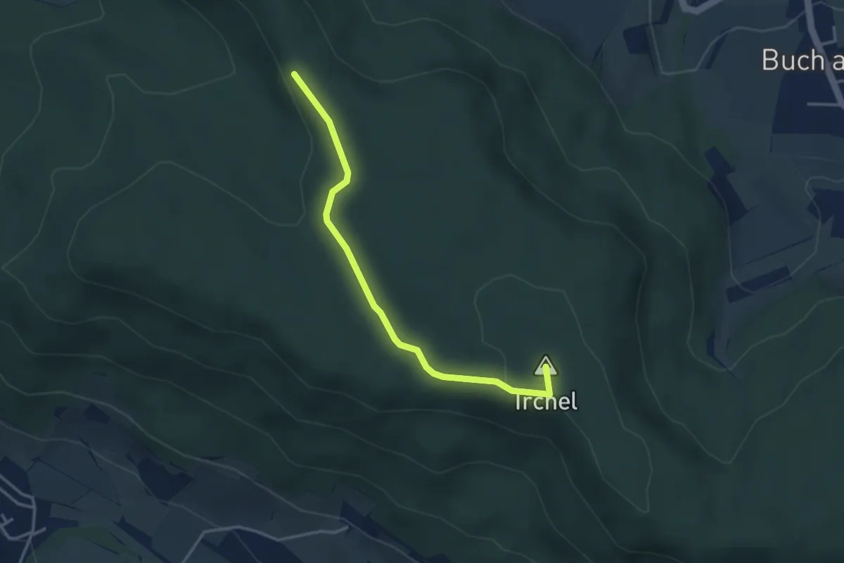
Easy · Summit
Schartenflue – Oberhueb
3.4 km · ↑ 77 m · 57 min · 15 km away
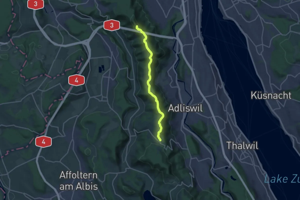
Medium · Summit
Planetenweg Uetliberg
13.8 km · ↑ 418 m · 4 h 9 min · 15 km away
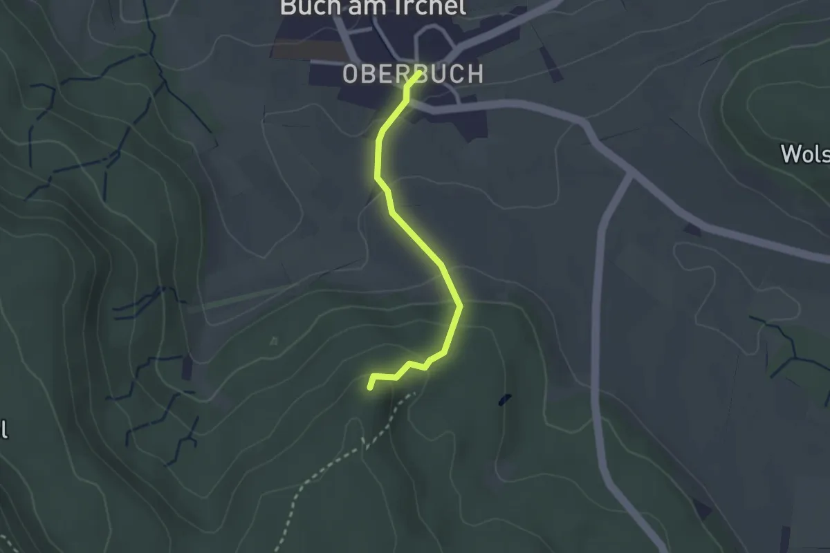
Easy · Trail
Heerenbänkli Irchelturm – Ober Buch am Irchel
2.2 km · ↑ 120 m · 46 min · 15 km away
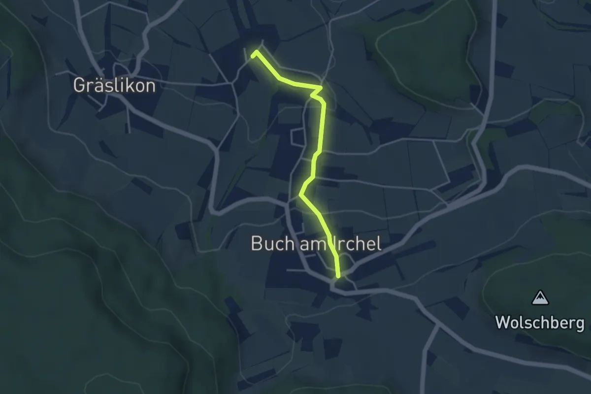
Easy · Trail
Ober Buch am Irchel – Wiler
3.2 km · ↑ 102 m · 59 min · 15 km away
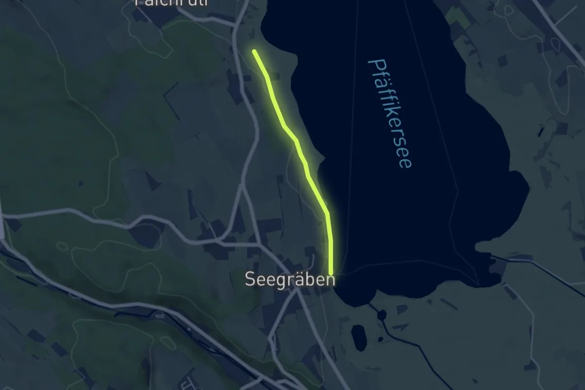
Easy · Trail
Talhof – Seegräben Landungssteg
3.4 km · ↑ 28 m · 52 min · 15 km away
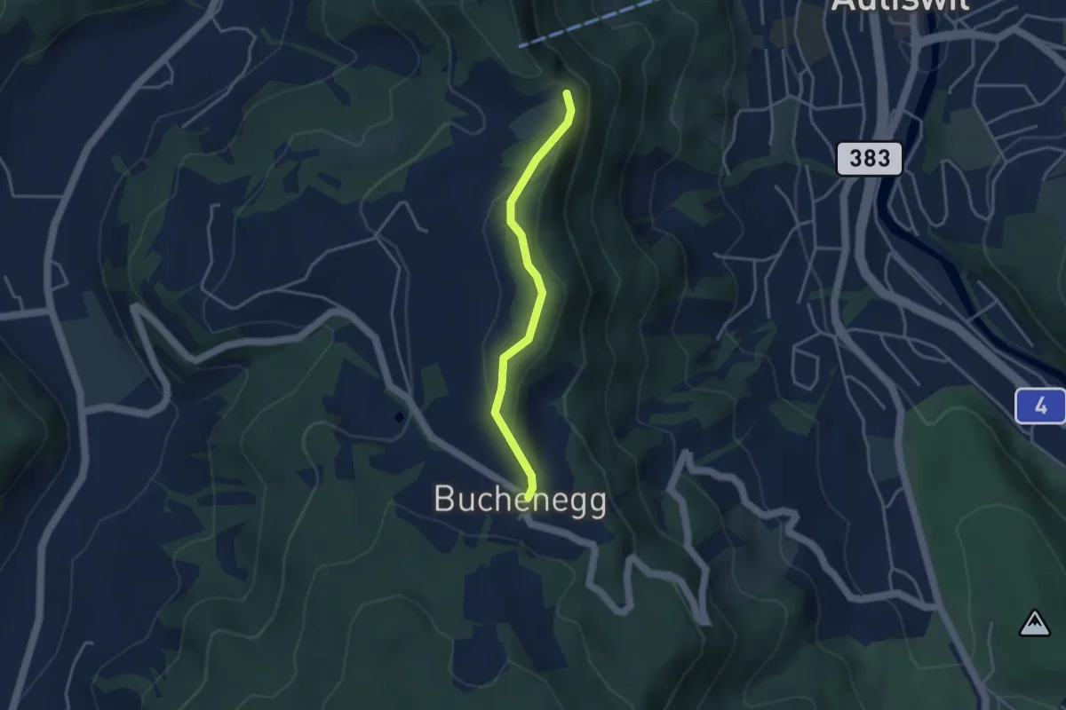
Easy · Trail
Felsenegg – Buchenegg
3.2 km · ↑ 67 m · 54 min · 15 km away
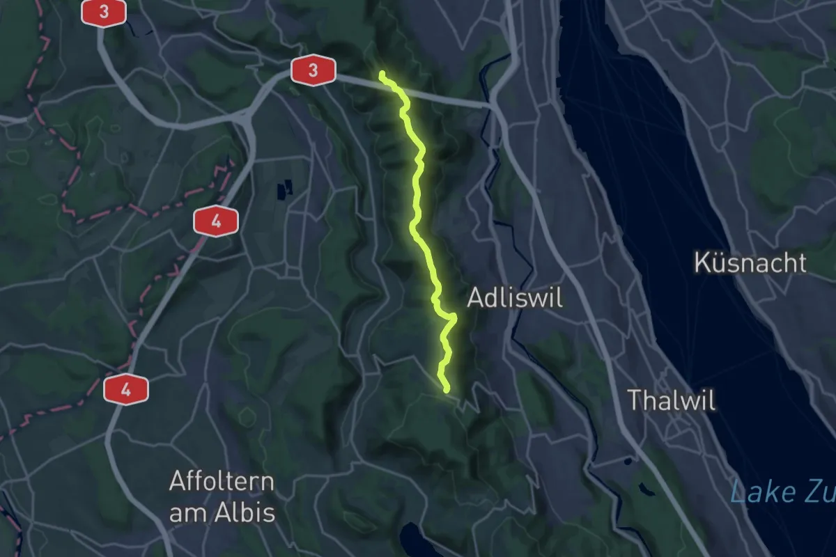
Medium · Summit
Albisgrat-Höhenweg
14.1 km · ↑ 426 m · 4 h 16 min · 15 km away
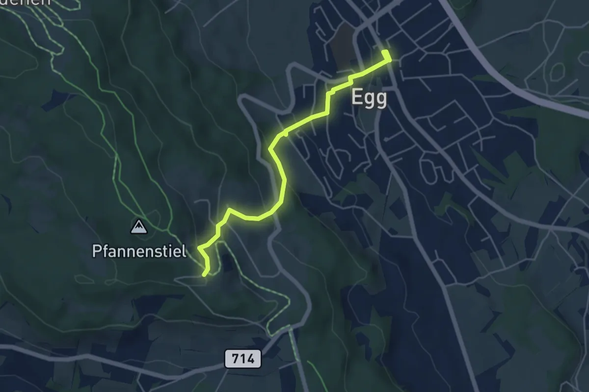
Easy · Trail
Egg – Pfannenstiel Hochwacht
4.4 km · ↑ 256 m · 1 h 36 min · 15 km away
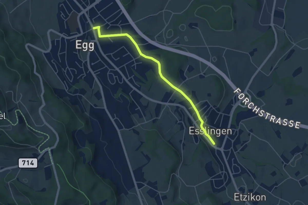
Easy · Trail
Egg – Esslingen
4.8 km · ↑ 66 m · 1 h 17 min · 15 km away
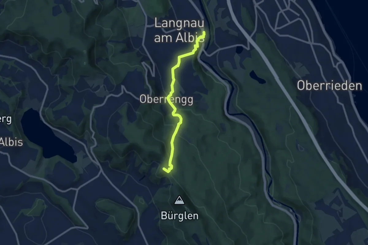
Medium · Summit
Schnabellücke – Langnau-Gattikon
7.2 km · ↑ 371 m · 2 h 31 min · 15 km away
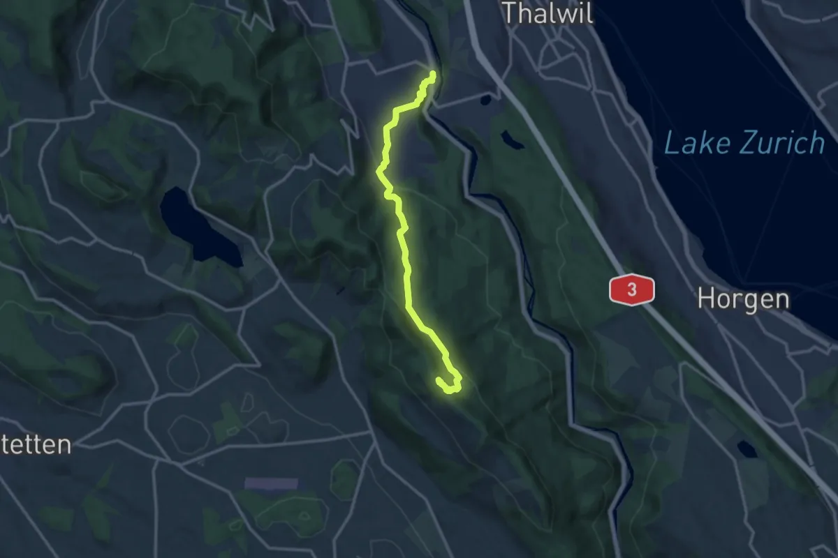
Medium · Summit
Albishorn – Langnau-Gattikon
11.1 km · ↑ 442 m · 3 h 35 min · 15 km away
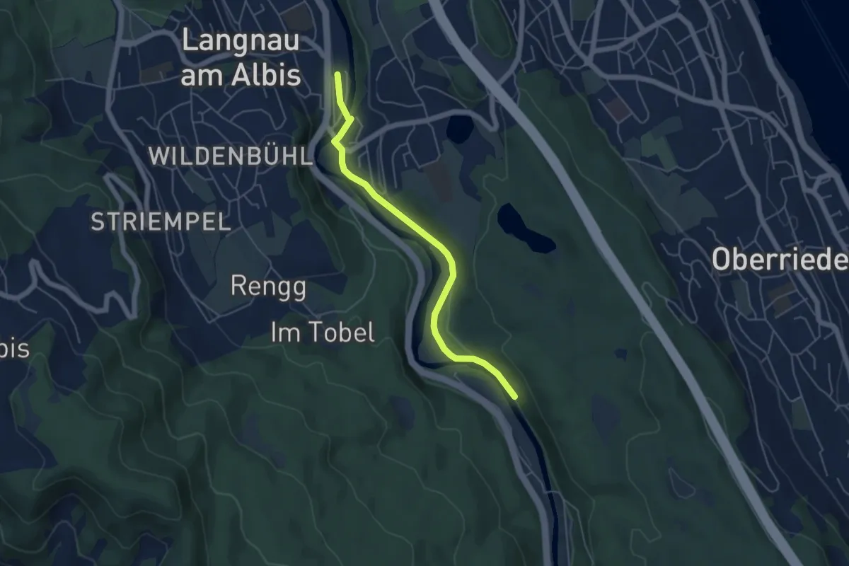
Easy · Trail
Langnau-Gattikon (Ost) – Besucherzentrum
4.7 km · ↑ 75 m · 1 h 16 min · 15 km away