Trails near Yverdon-les-Bains
54 hikes starting within 15 km, nearest first.
Nearest first, page 1 of 2
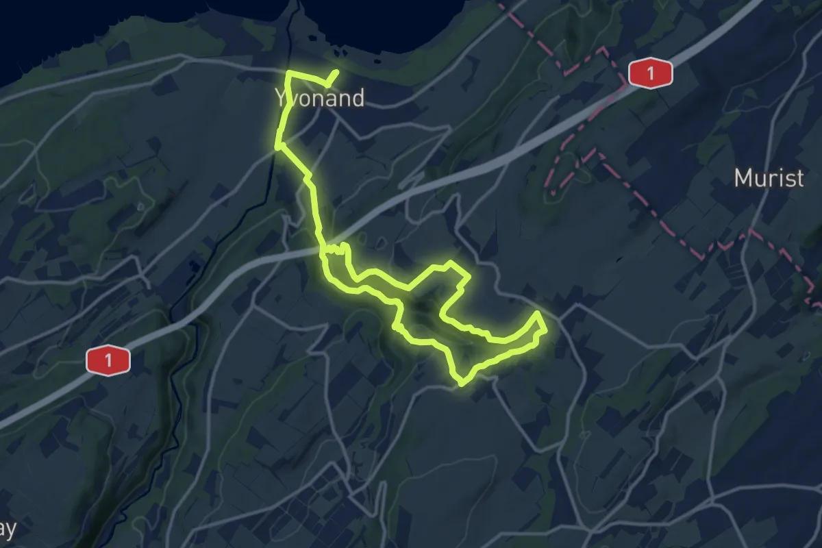
Demanding · Trail
Tour du Vallon des Vaux
21.7 km · ↑ 634 m · 6 h 30 min · 8 km away
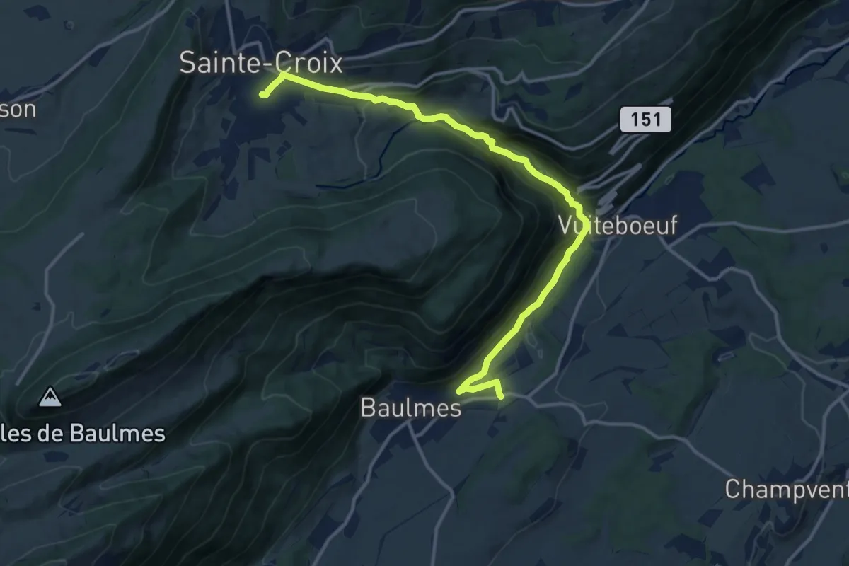
Medium · Trail
Chemin des Gorges de Covatannaz
13.9 km · ↑ 564 m · 4 h 31 min · 8 km away
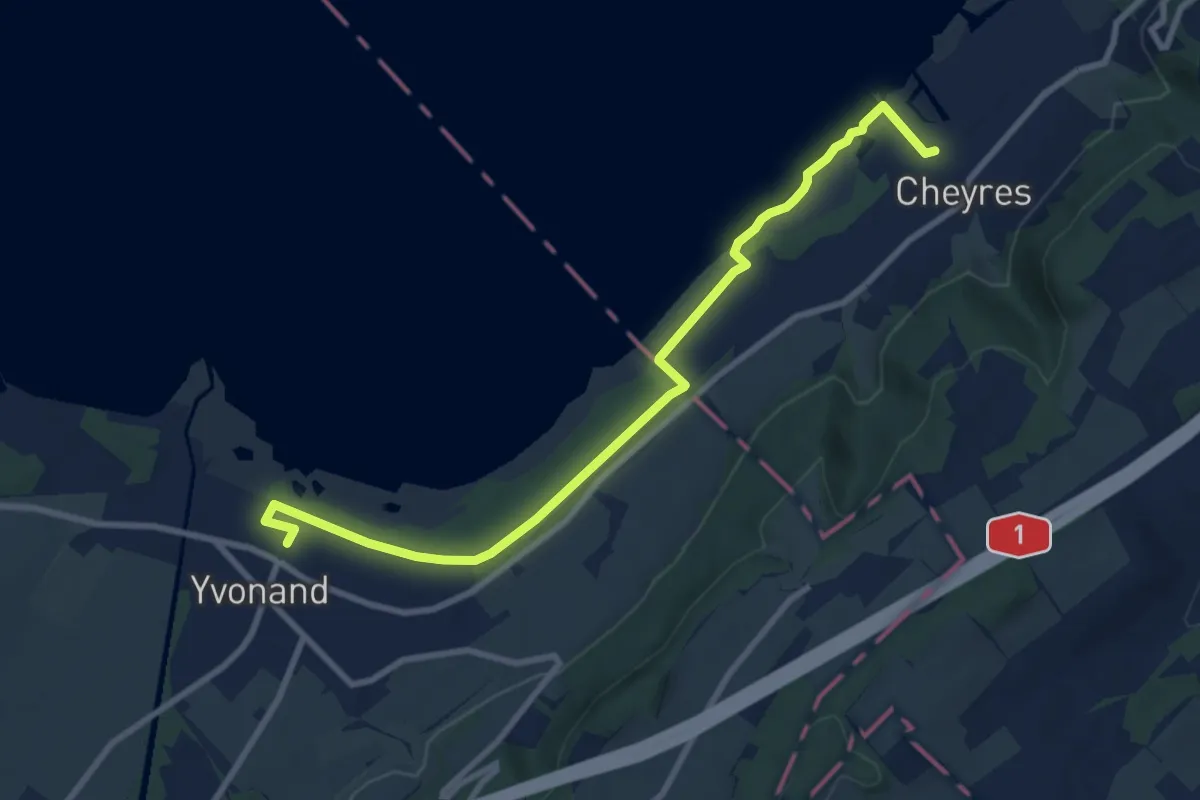
Medium · Trail
Yvonand Gare - Cheyres
9.5 km · ↑ 18 m · 2 h 18 min · 8 km away
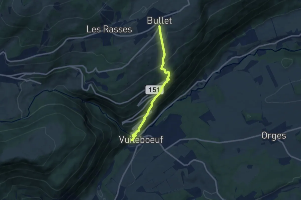
Medium · Trail
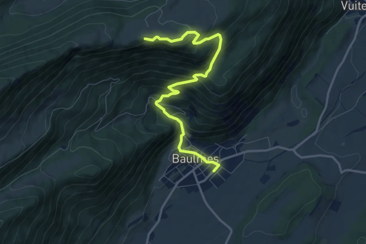
Bullet – Vuiteboeuf
6.2 km · ↑ 533 m · 2 h 38 min · 9 km away
Medium · Trail
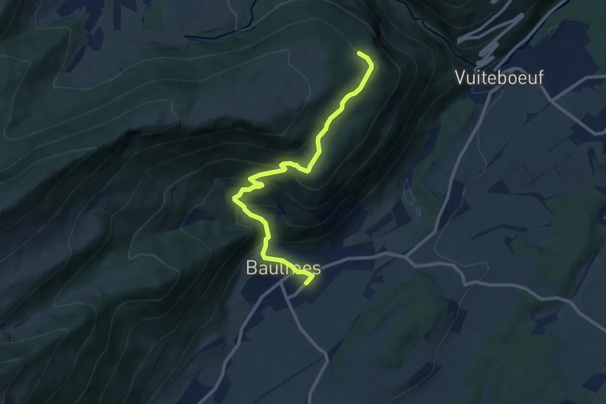
Baulmes – Mont de Baulmes
8.4 km · ↑ 644 m · 3 h 23 min · 9 km away
Medium · Trail
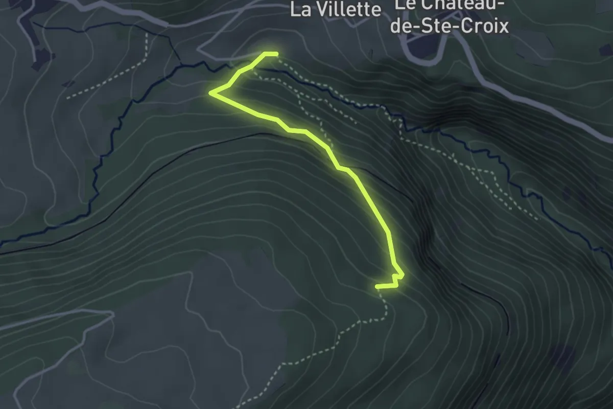
Baulmes – L'Onglettaz
8.1 km · ↑ 531 m · 3 h 3 min · 9 km away
Easy · Trail
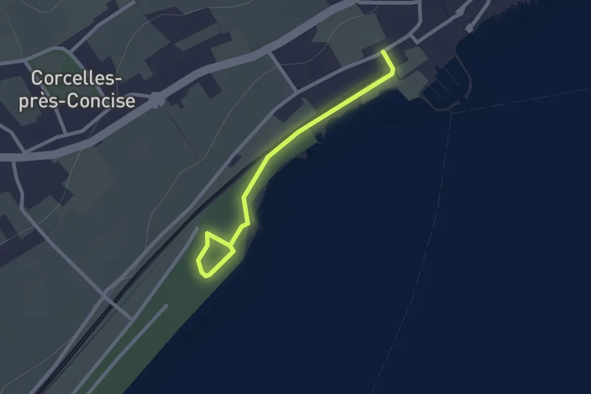
L'Onglettaz – Gorges de Covatannaz
3.0 km · ↑ 241 m · 1 h 14 min · 9 km away
Easy · Trail
Hiking trail in need of a better name
2.1 km · ↑ 0 m · 29 min · 9 km away
Easy · Trail
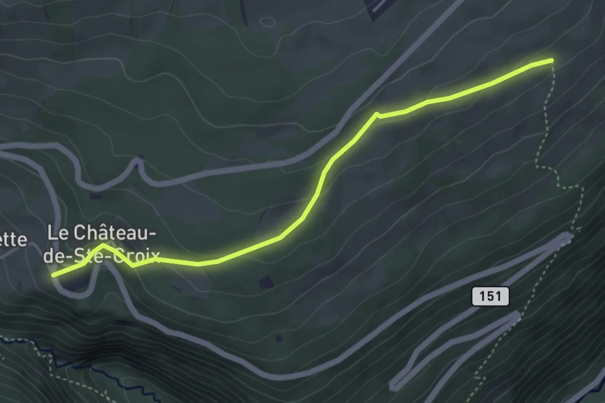
Le Château de Sainte-Croix – Bas de la Fin
4.3 km · ↑ 165 m · 1 h 22 min · 9 km away
Easy · Trail
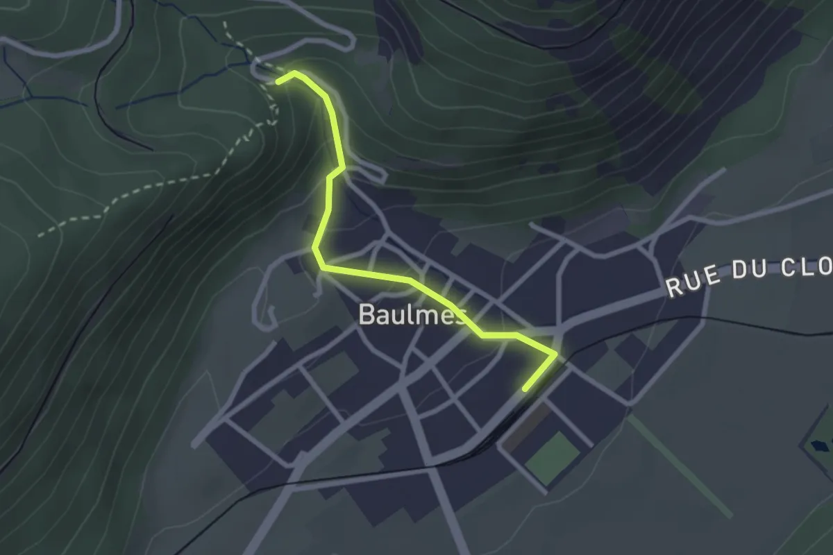
Baulmes – Les Mouilles
2.2 km · ↑ 129 m · 48 min · 10 km away
Easy · Trail
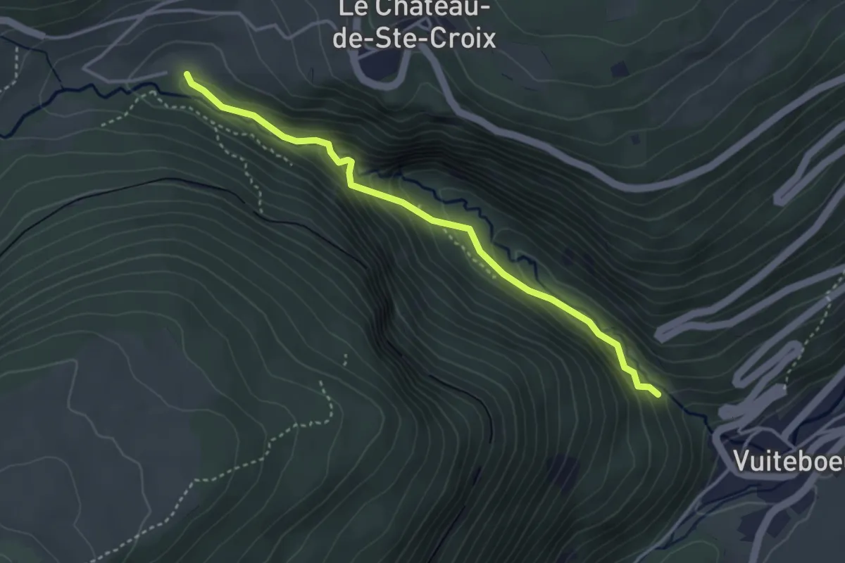
Gorges de Covatannaz – Gorges de Covatannaz
3.5 km · ↑ 208 m · 1 h 17 min · 10 km away
Easy · Trail
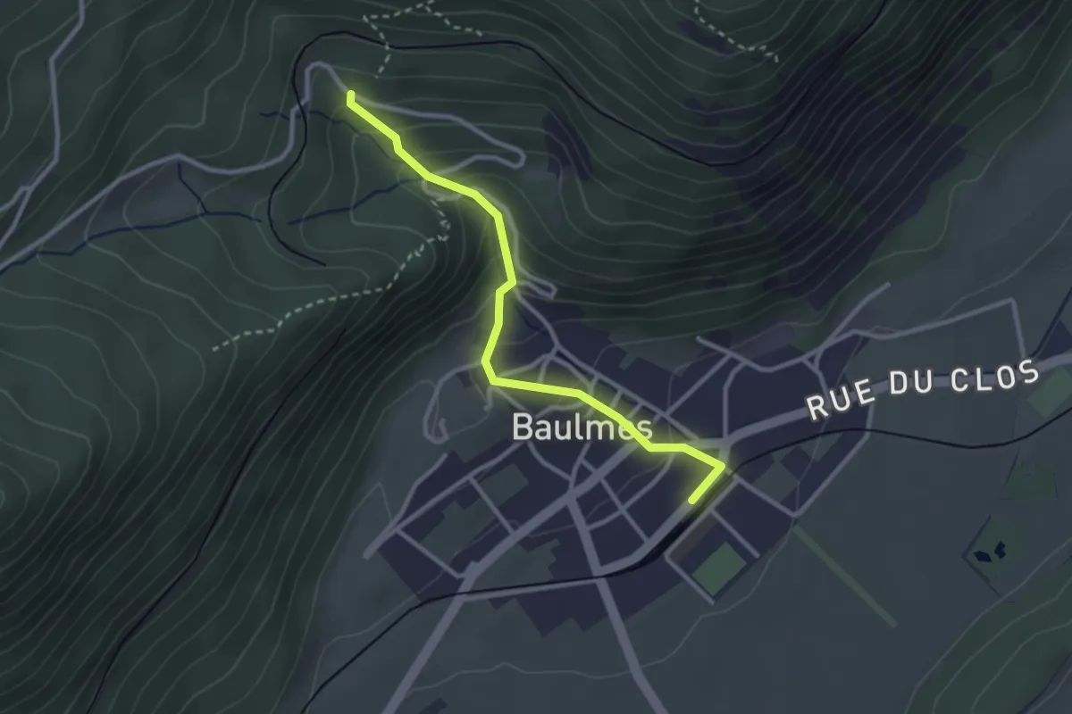
Baulmes – Les Naz
2.8 km · ↑ 199 m · 1 h 6 min · 10 km away
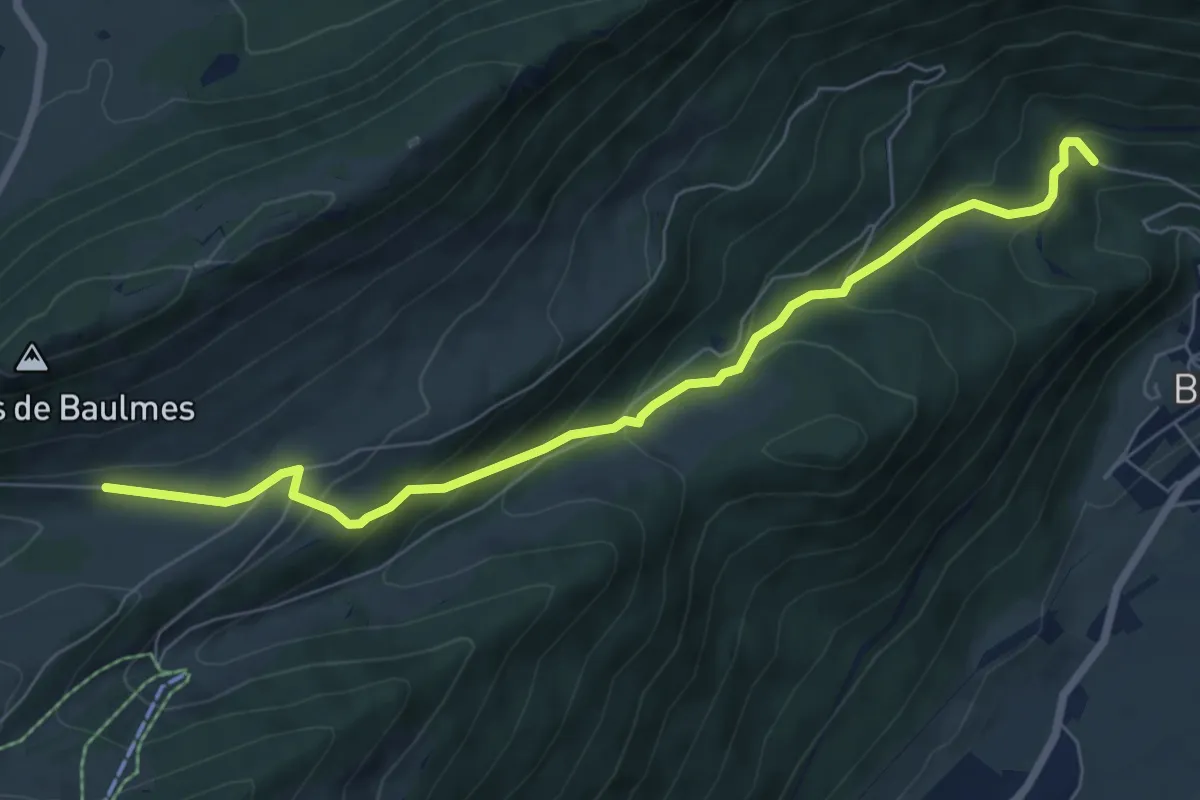
Medium · Trail
Les Praz - Baulmes
7.4 km · ↑ 476 m · 2 h 47 min · 10 km away
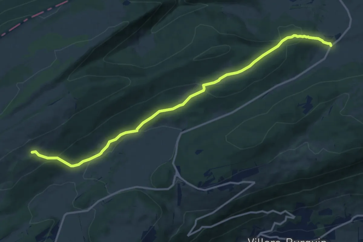
Medium · Trail
Les Cernets Dessous-La Combaz
11.4 km · ↑ 467 m · 3 h 42 min · 10 km away
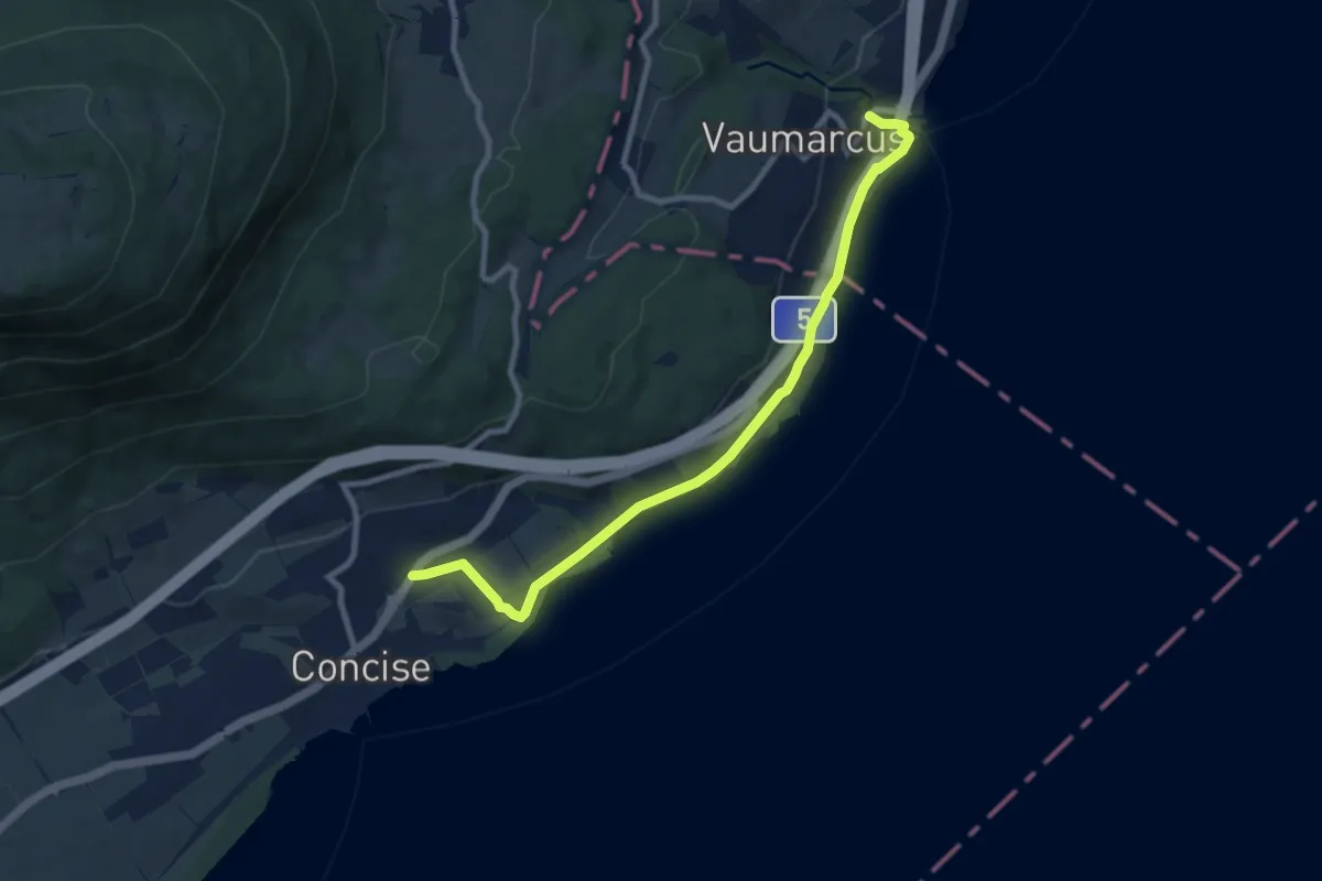
Medium · Trail
Concise - Vaumarcus (par La Raisse)
9.1 km · ↑ 94 m · 2 h 22 min · 11 km away
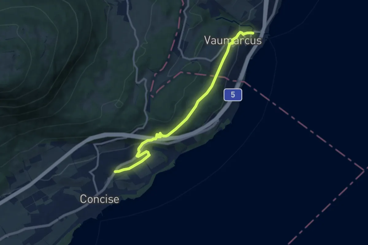
Medium · Trail
Concise - Vaumarcus (par Le Camp de Vaumarcus)
9.1 km · ↑ 283 m · 2 h 46 min · 11 km away
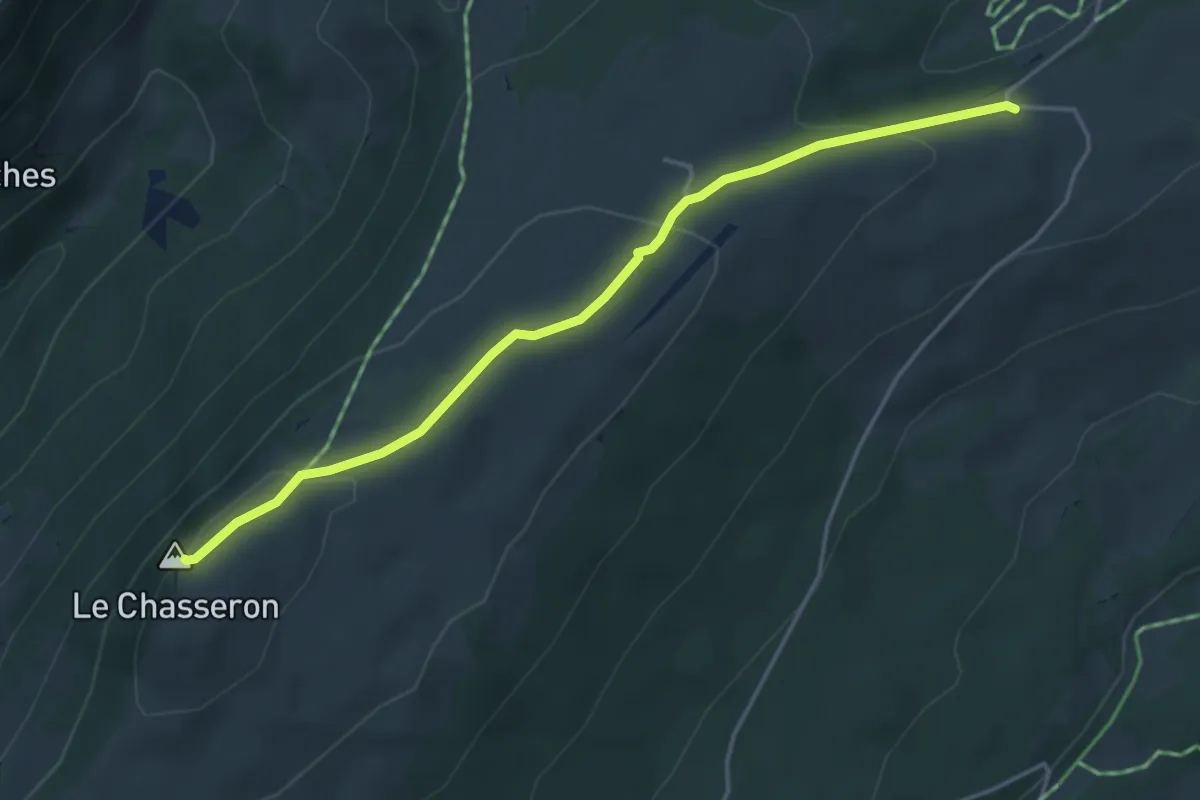
Medium · Summit
Chasseron-Les Illars
4.3 km · ↑ 160 m · 1 h 22 min · 11 km away
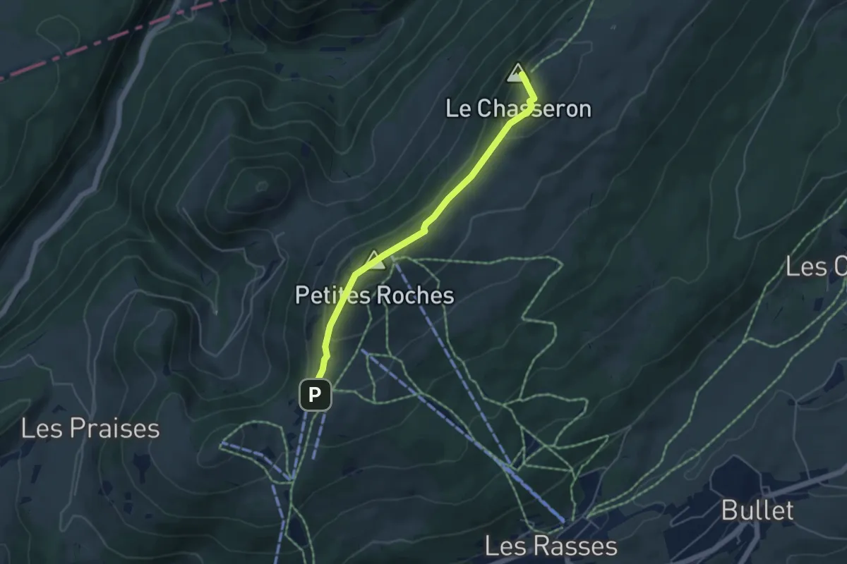
Medium · Summit
Les Avattes - Hôtel du Chasseron
4.5 km · ↑ 211 m · 1 h 30 min · 11 km away
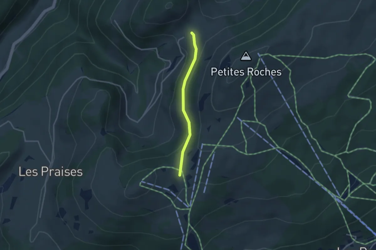
Easy · Trail
Le Sollier - fixme
2.3 km · ↑ 79 m · 43 min · 11 km away
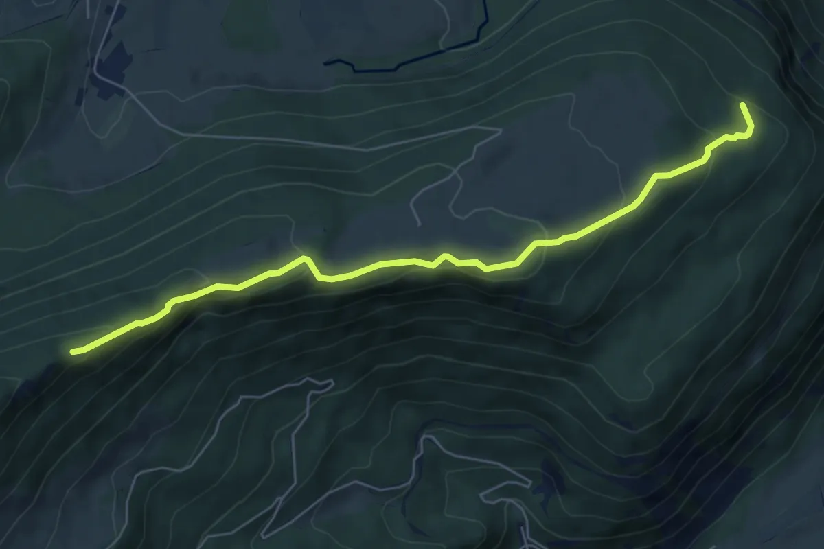
Medium · Trail
L'Onglettaz – Cave noire
6.6 km · ↑ 329 m · 2 h 17 min · 11 km away
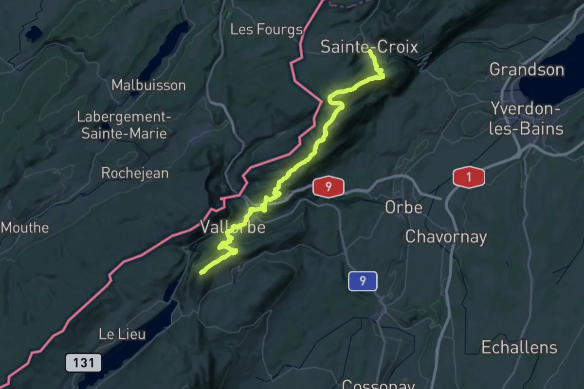
Demanding · Summit
Chemin des Crêtes du Jura
59.5 km · ↑ 2848 m · 20 h 13 min · 12 km away
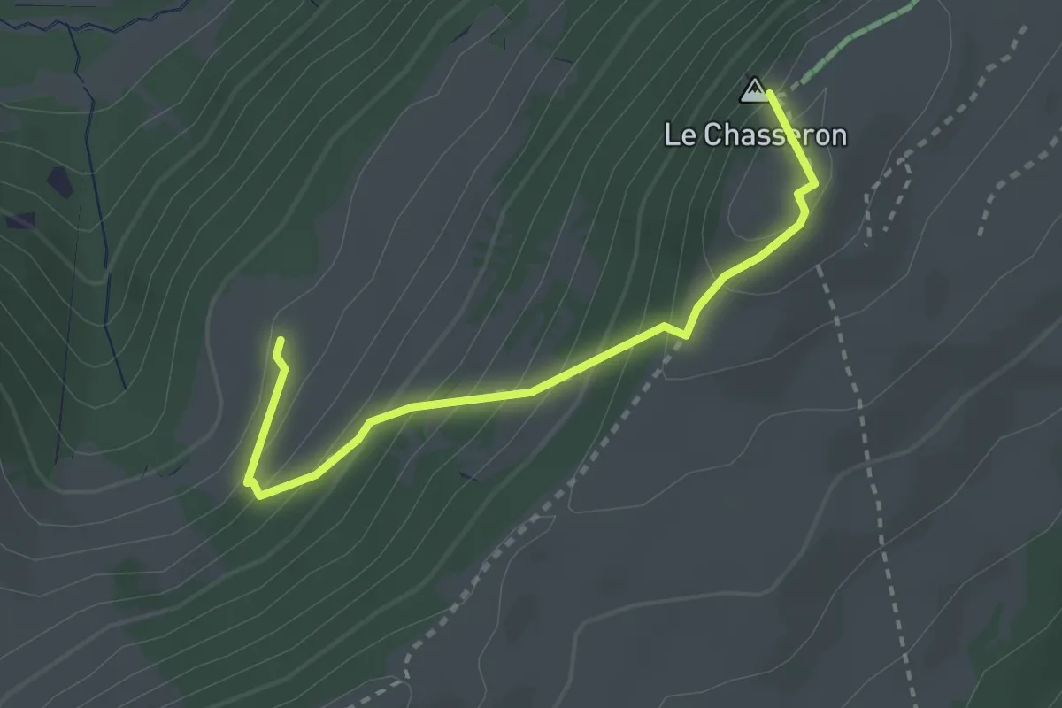
Medium · Summit
Hôtel du Chasseron - La Merlaz
2.8 km · ↑ 263 m · 1 h 13 min · 12 km away
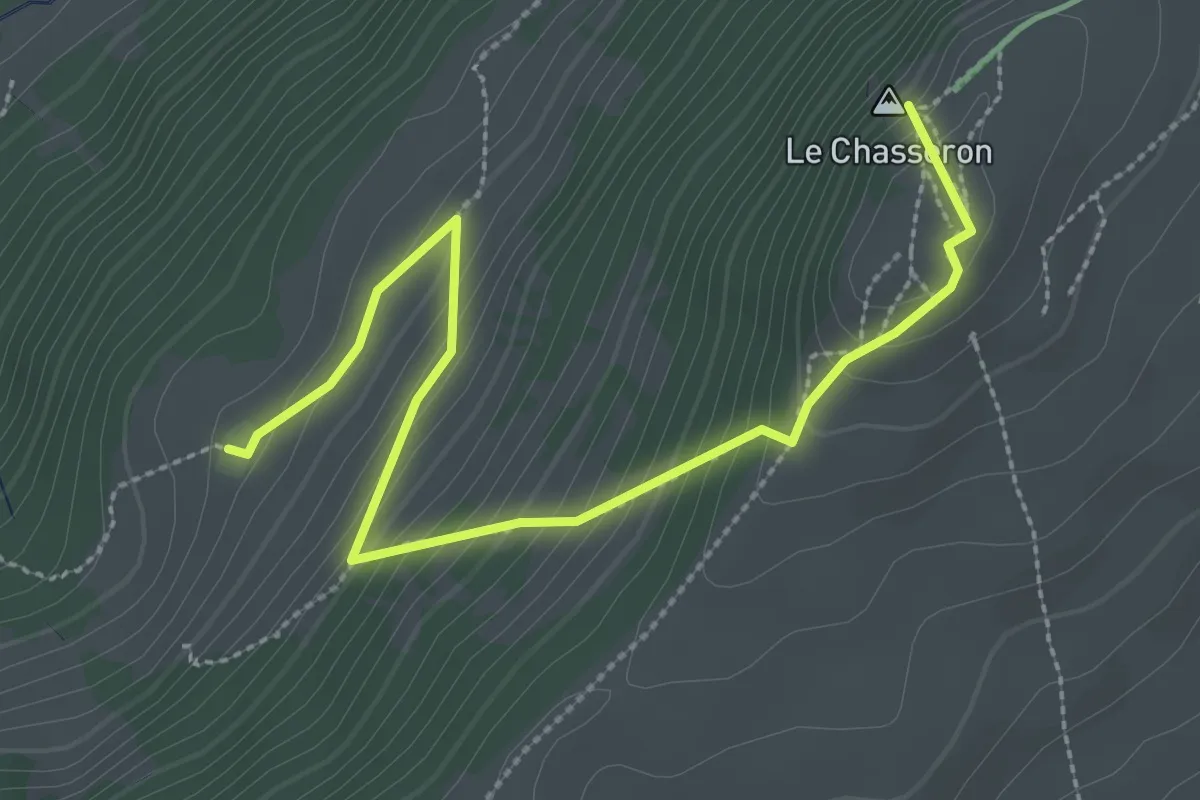
Medium · Summit
Hôtel du Chasseron - La Merlaz
3.3 km · ↑ 252 m · 1 h 20 min · 12 km away
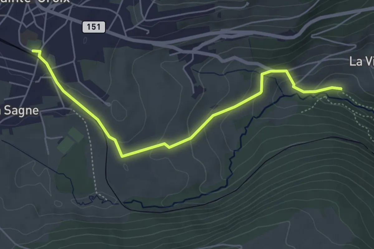
Easy · Trail
Gorges de Covatannaz – Ste-Croix
5.1 km · ↑ 187 m · 1 h 37 min · 12 km away
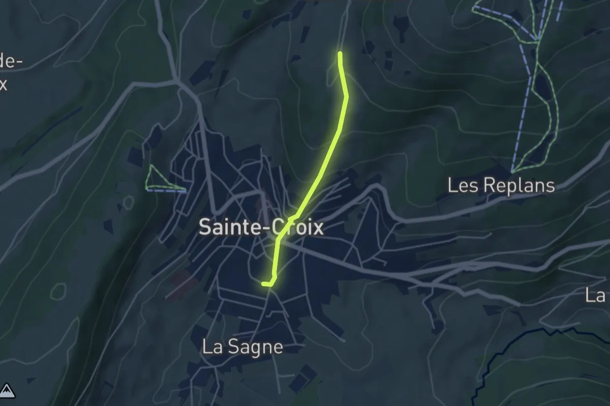
Easy · Trail
Ste-Croix – Les Praises
3.0 km · ↑ 190 m · 1 h 8 min · 12 km away
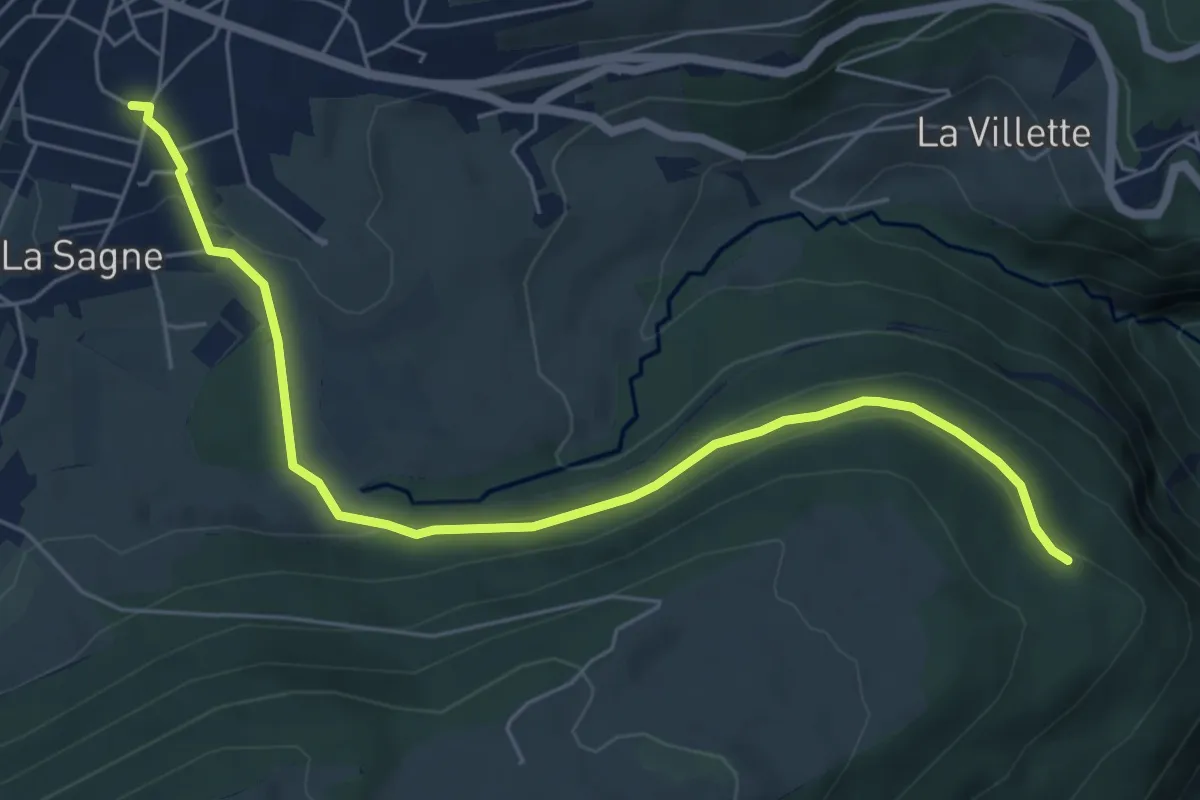
Easy · Trail
L'Onglettaz – Ste-Croix
6.5 km · ↑ 213 m · 2 h · 12 km away
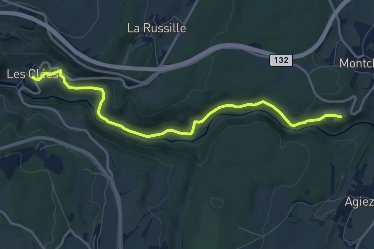
Medium · Trail
Chemin nature pour tous
8.2 km · ↑ 207 m · 2 h 23 min · 12 km away
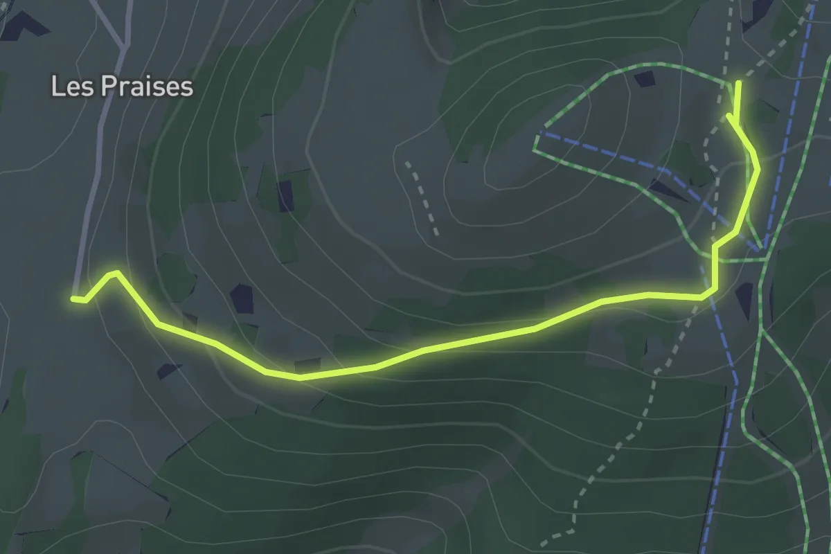
Easy · Trail
Les Praises-La Casba
3.2 km · ↑ 153 m · 1 h 5 min · 12 km away
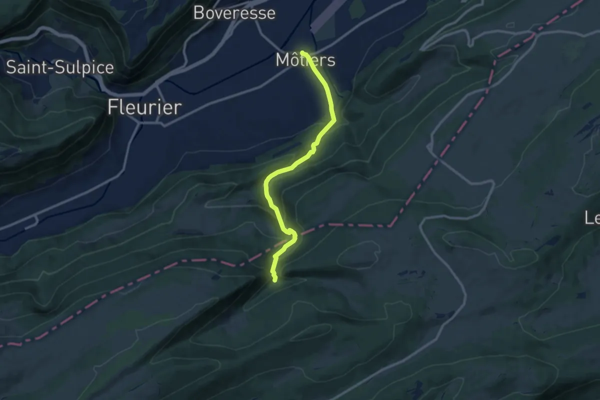
Medium · Trail
Pouetta Raisse-Môtiers
8.8 km · ↑ 464 m · 3 h 4 min · 12 km away
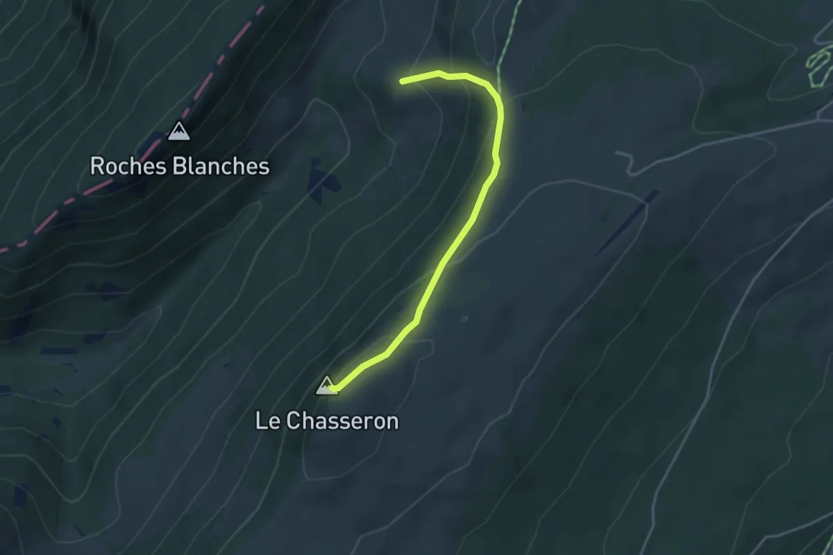
Medium · Summit
Hôtel du Chasseron - fixme
3.4 km · ↑ 224 m · 1 h 17 min · 12 km away
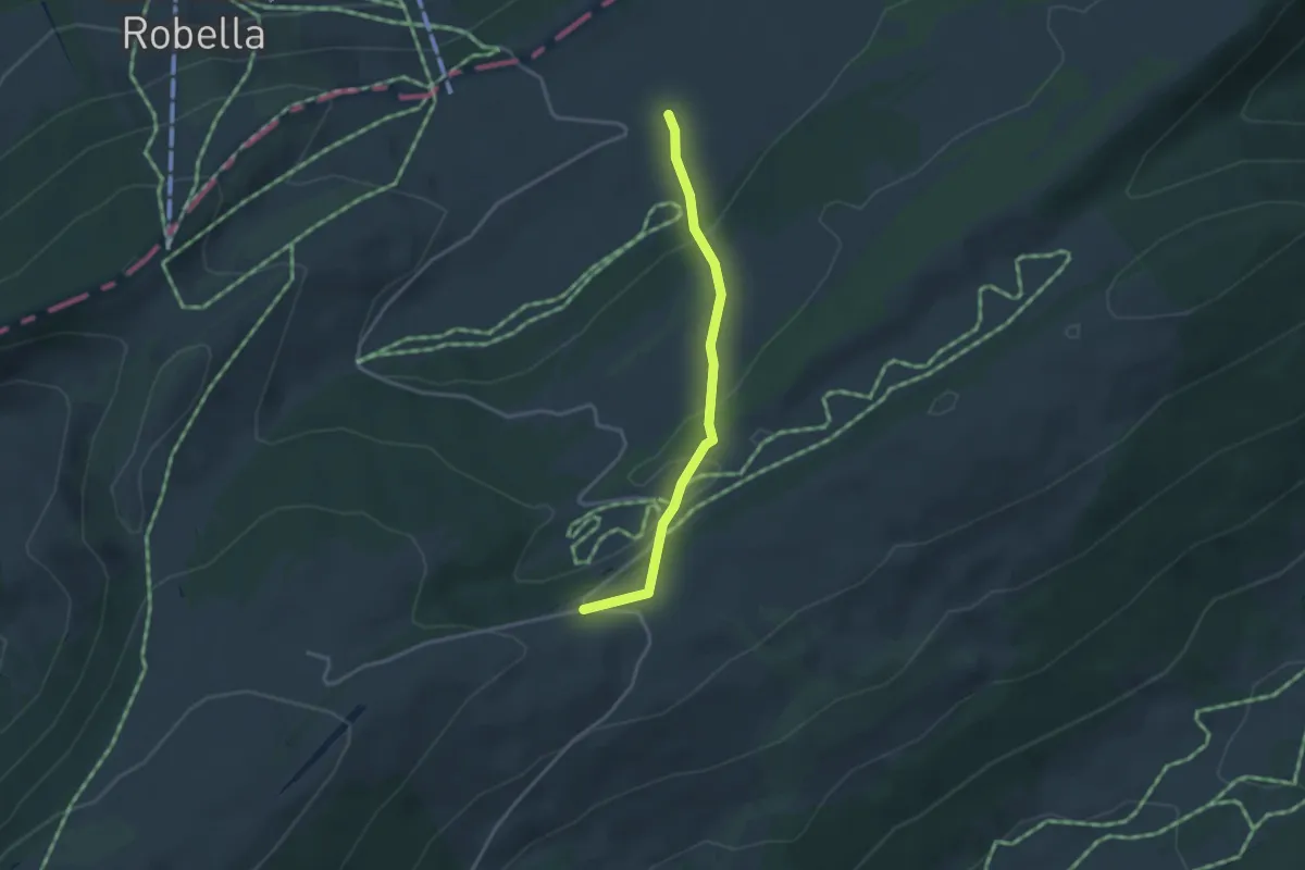
Easy · Cabin
La Preisette-Les Illars
3.1 km · ↑ 111 m · 58 min · 12 km away
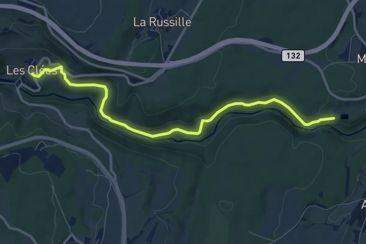
Easy · Trail
Tourisme pédestre
7.7 km · ↑ 212 m · 2 h 17 min · 12 km away
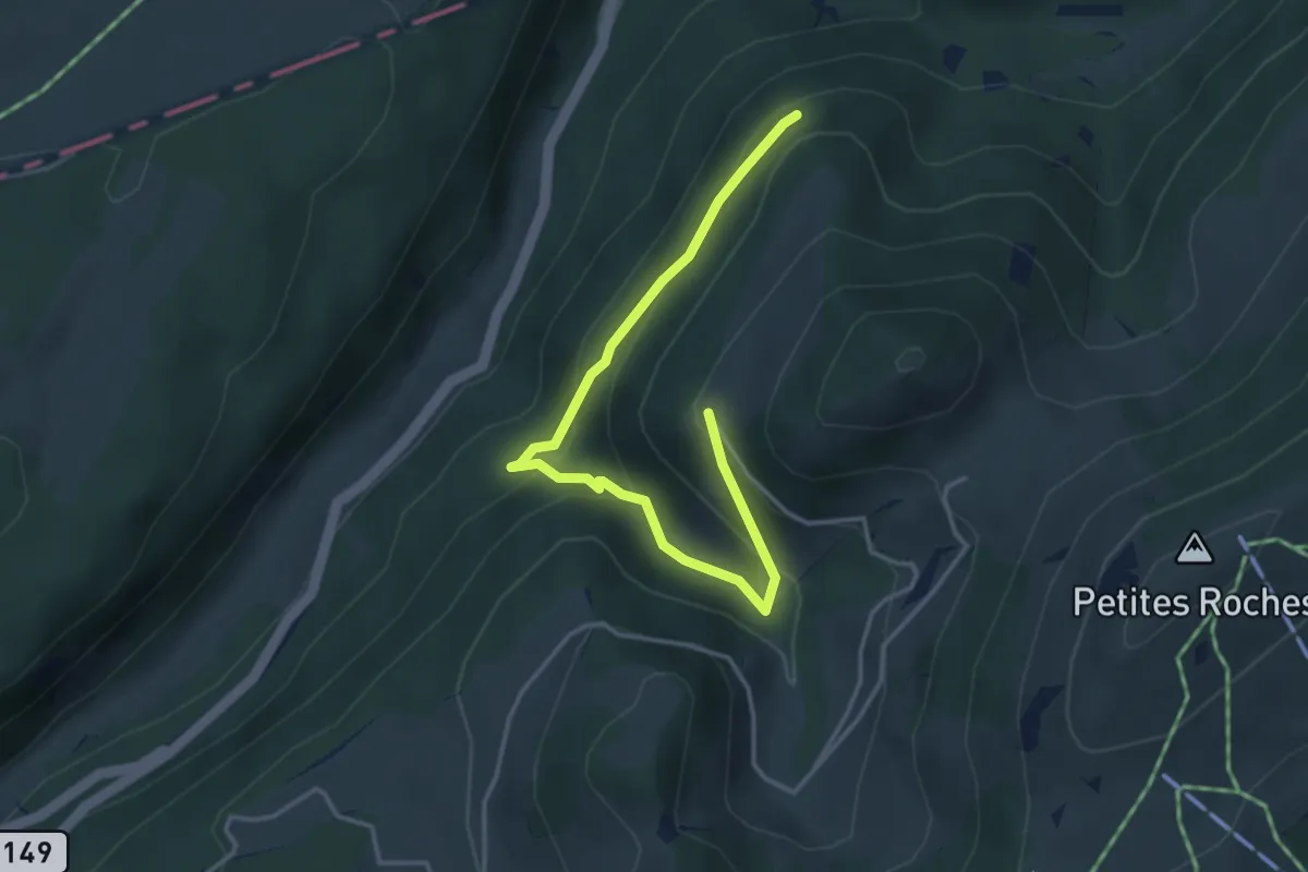
Easy · Trail
Chalet de la Maya - fixme
4.2 km · ↑ 284 m · 1 h 36 min · 12 km away
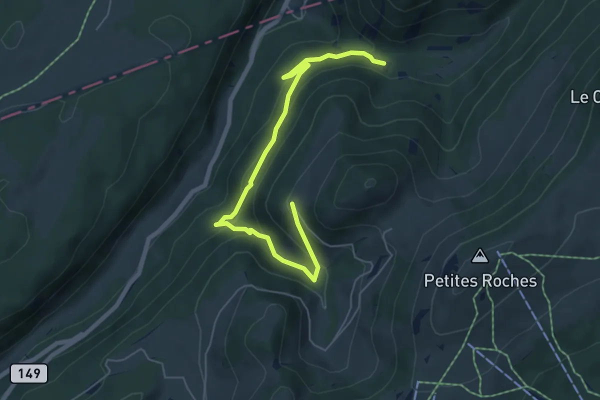
Medium · Trail
Chalet de la Maya - fixme
5.9 km · ↑ 385 m · 2 h 13 min · 12 km away
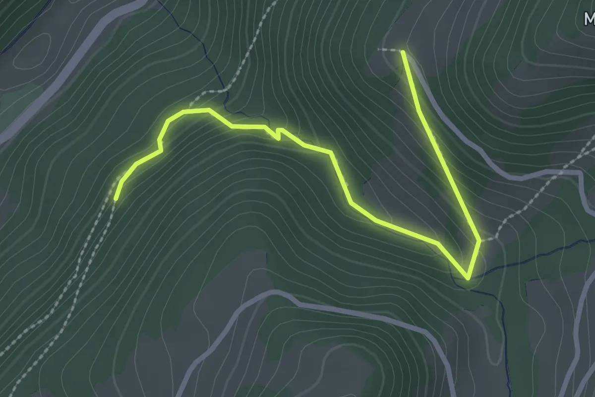
Easy · Trail
Chalet de la Maya - fixme
2.7 km · ↑ 191 m · 1 h 3 min · 12 km away
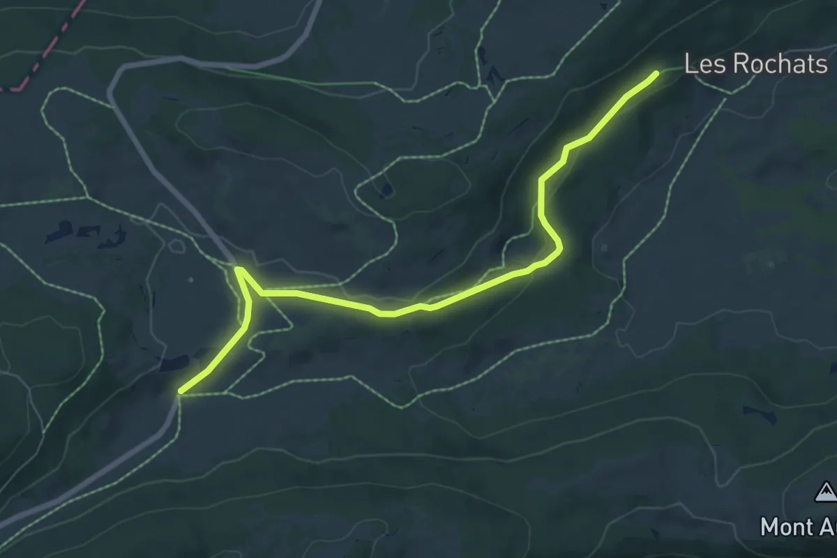
Easy · Trail
La Combaz-Les Rochats
7.0 km · ↑ 120 m · 1 h 55 min · 12 km away
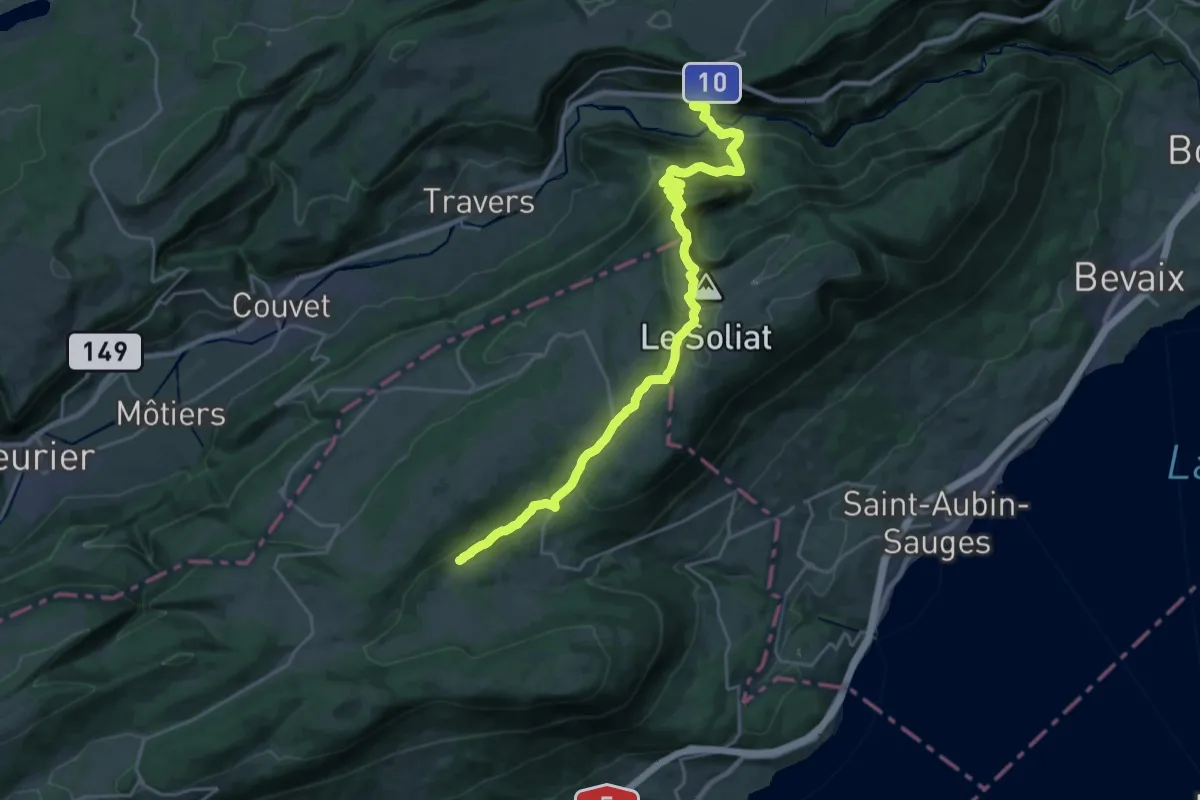
Medium · Trail
Chemin des Crêtes du Jura
12.9 km · ↑ 418 m · 4 h 21 min · 13 km away
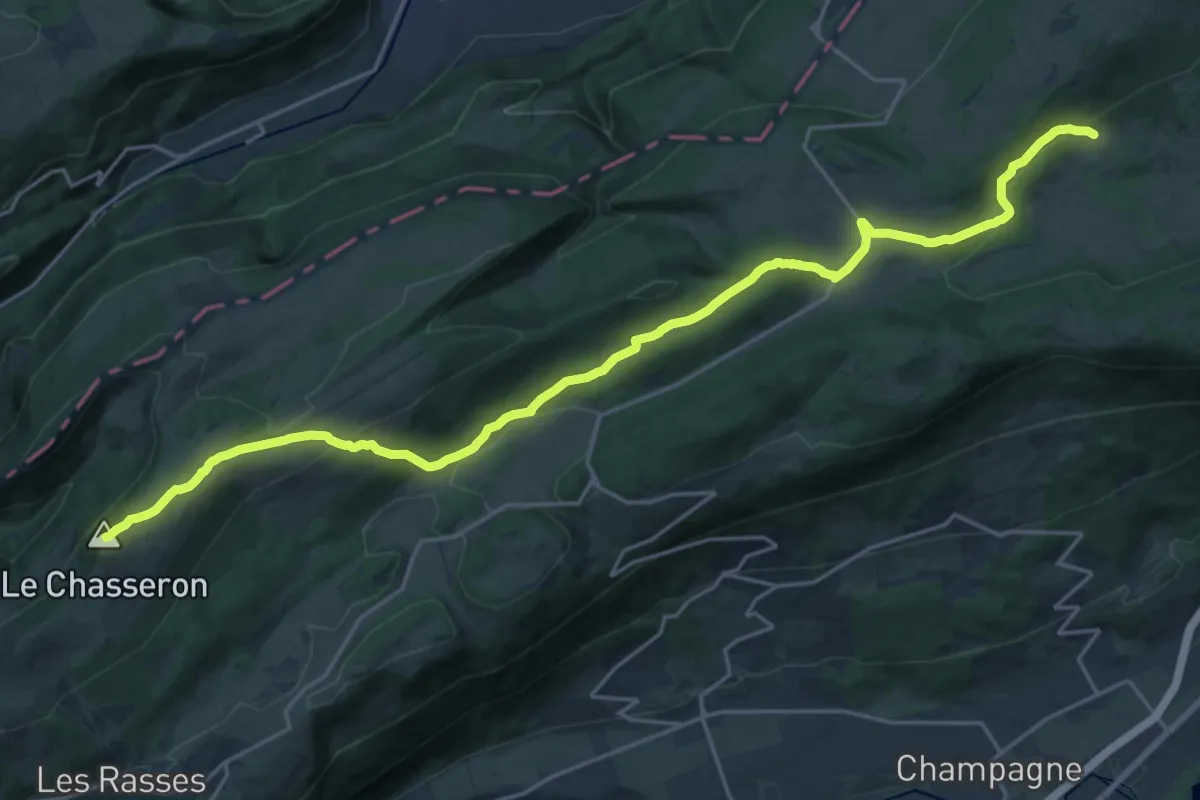
Demanding · Summit
Chemin des Crêtes du Jura
25.5 km · ↑ 846 m · 7 h 51 min · 13 km away
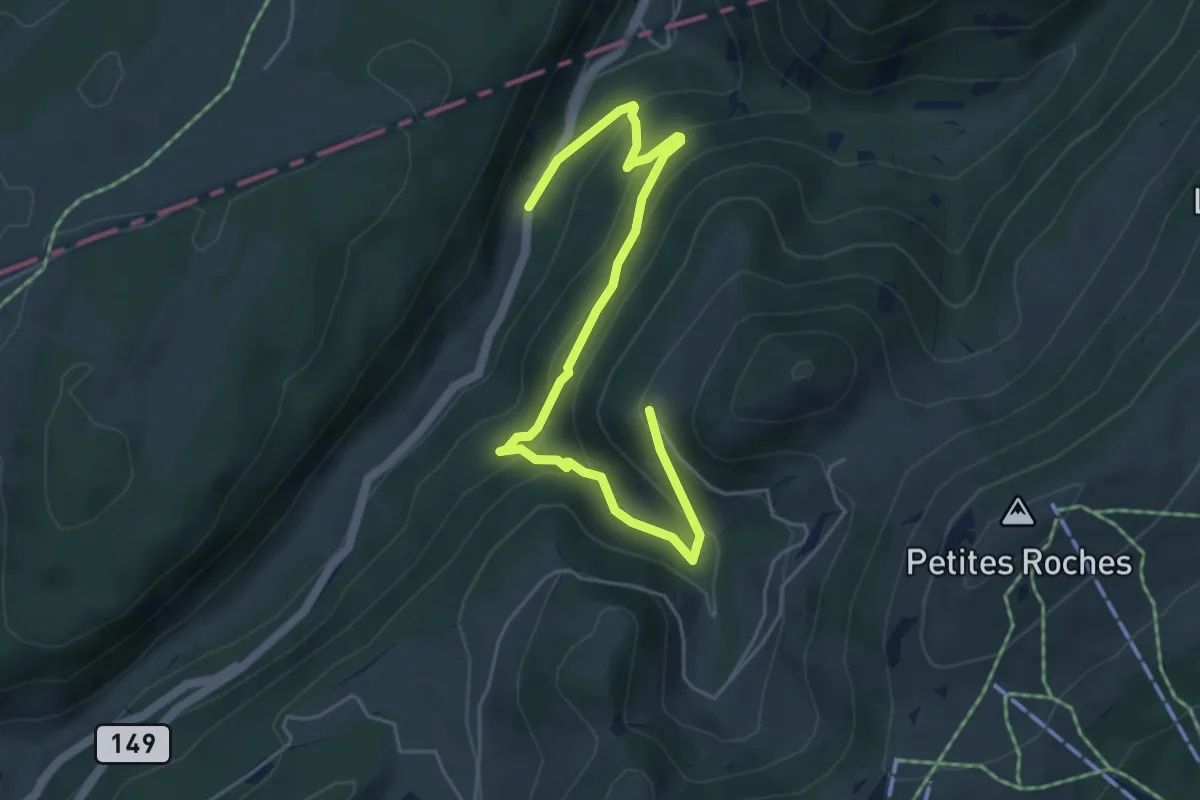
Medium · Trail
Chalet de la Maya - Noirvaux
5.9 km · ↑ 397 m · 2 h 15 min · 13 km away
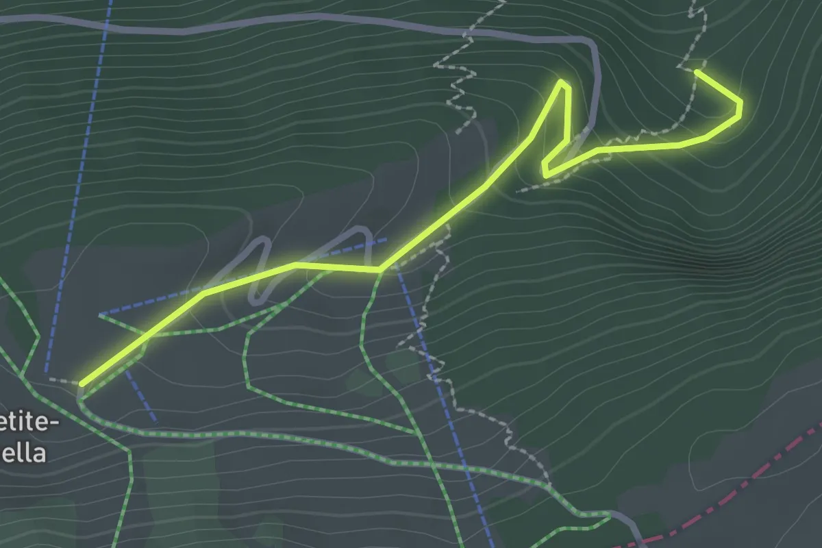
Easy · Trail
Plan des Auges - fixme
2.6 km · ↑ 184 m · 1 h 1 min · 13 km away
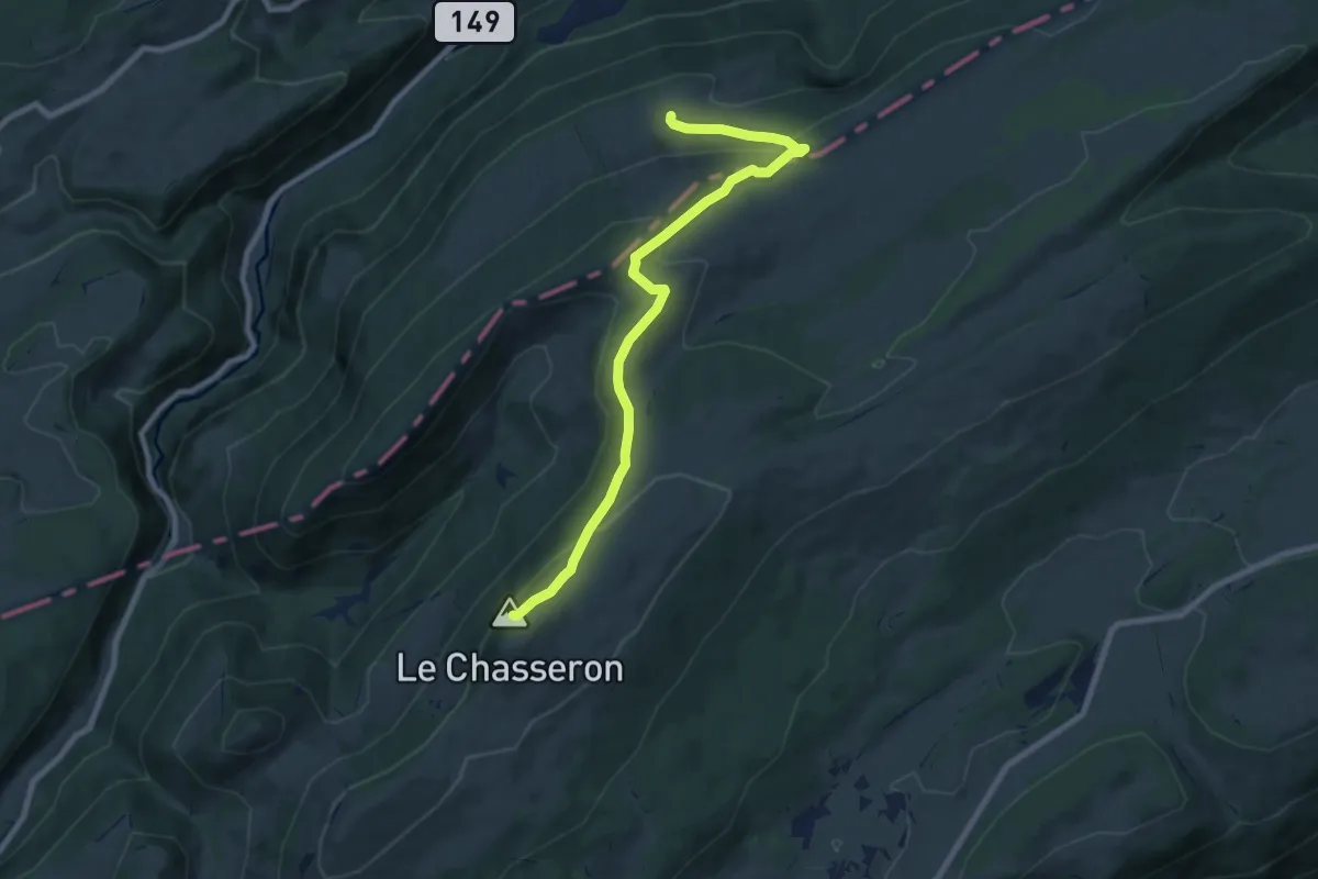
Medium · Summit
Petite Robella - Hôtel du Chasseron
8.5 km · ↑ 414 m · 2 h 55 min · 13 km away
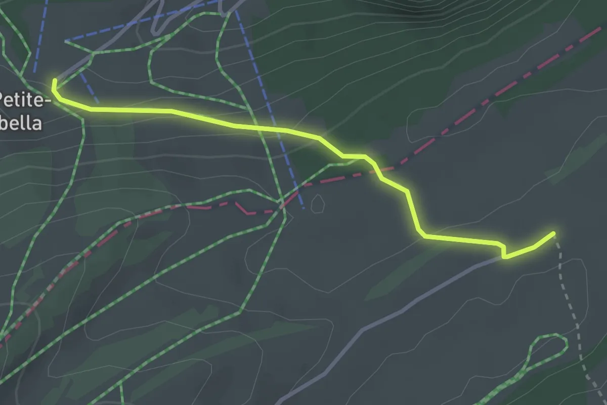
Easy · Trail
Petite Robella-La Preisette
2.8 km · ↑ 101 m · 52 min · 13 km away
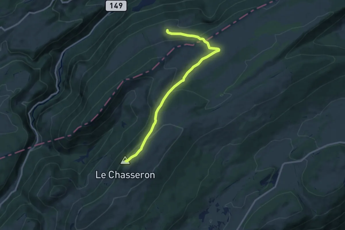
Medium · Summit
Petite Robella - Hôtel du Chasseron
8.7 km · ↑ 353 m · 2 h 49 min · 13 km away
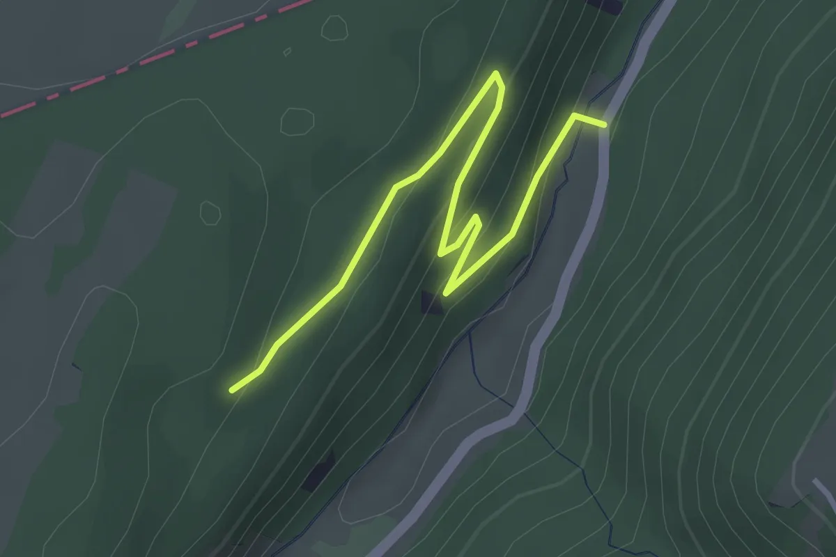
Easy · Trail
Noirvaux - fixme
3.2 km · ↑ 138 m · 1 h 3 min · 13 km away
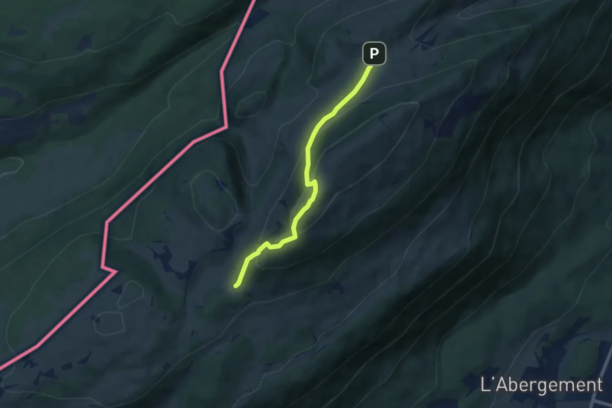
Medium · Trail
Grange Neuve-La Poyette
5.6 km · ↑ 397 m · 2 h 10 min · 13 km away
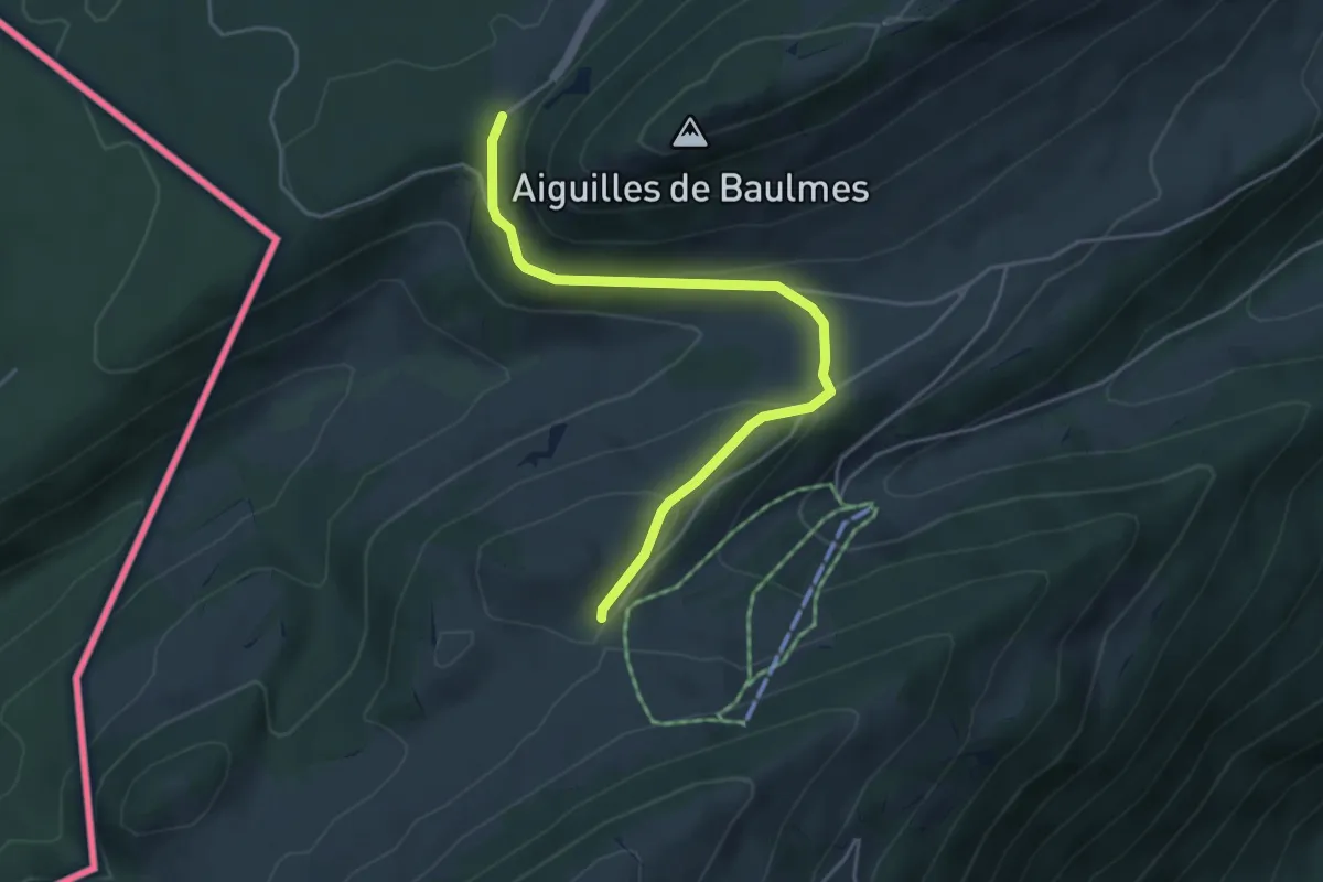
Easy · Trail
Col de l'Aiguillon-Grange Neuve
4.6 km · ↑ 181 m · 1 h 28 min · 13 km away
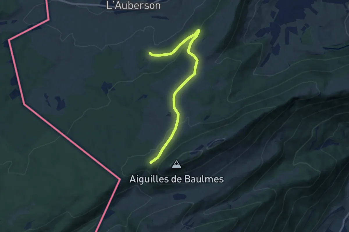
Medium · Trail
La Gittaz-Col de l'Aigullon
8.1 km · ↑ 238 m · 2 h 26 min · 13 km away
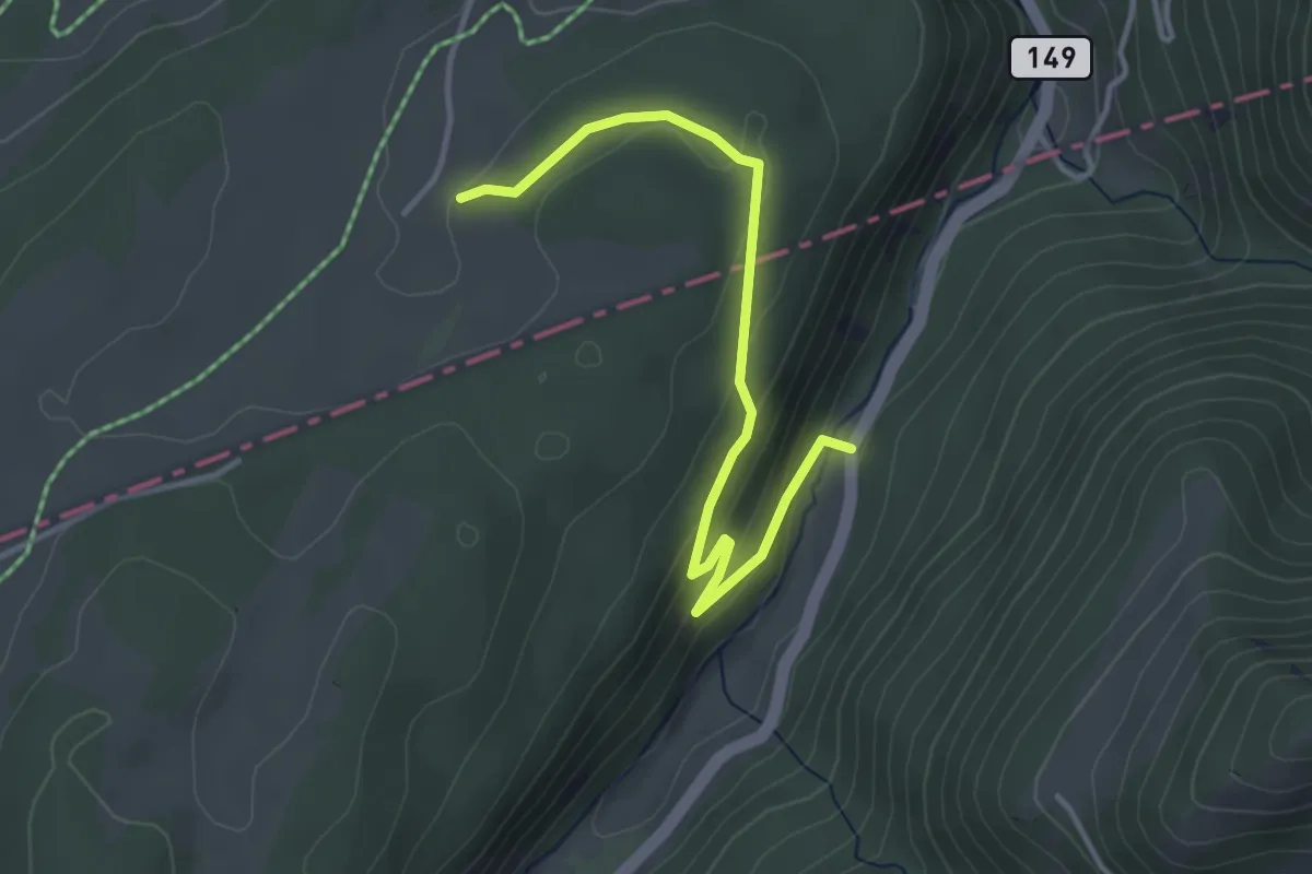
Easy · Trail
Noirvaux - fixme
3.7 km · ↑ 156 m · 1 h 13 min · 14 km away