Trails near Zollikofen
477 hikes starting within 15 km, nearest first.
Nearest first, page 1 of 10
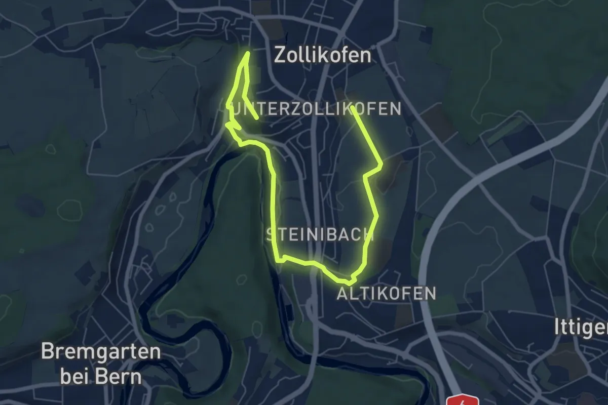
Medium · Trail
Landschaftsweg Zollikofen
8.5 km · ↑ 142 m · 2 h 19 min · 1 km away
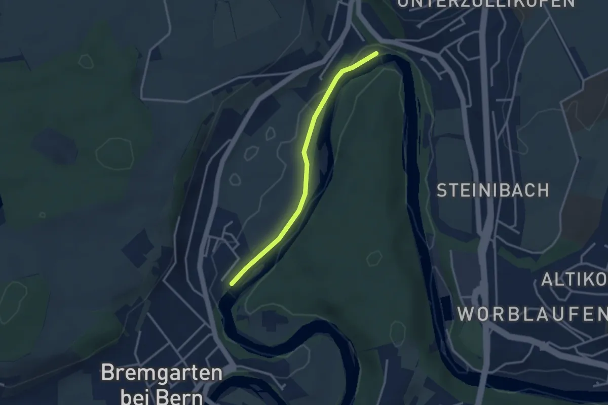
Easy · Trail
Fähre Zehndermätteli – Fähre Reichenbach
2.6 km · ↑ 17 m · 40 min · 1 km away
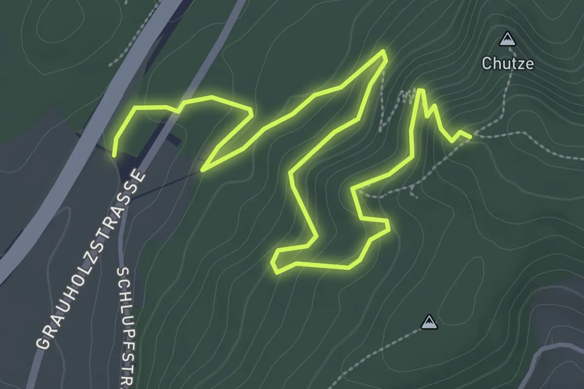
Medium · Trail
Forsthus – Grauholz/Schwarzkopf
5.1 km · ↑ 351 m · 1 h 58 min · 2 km away
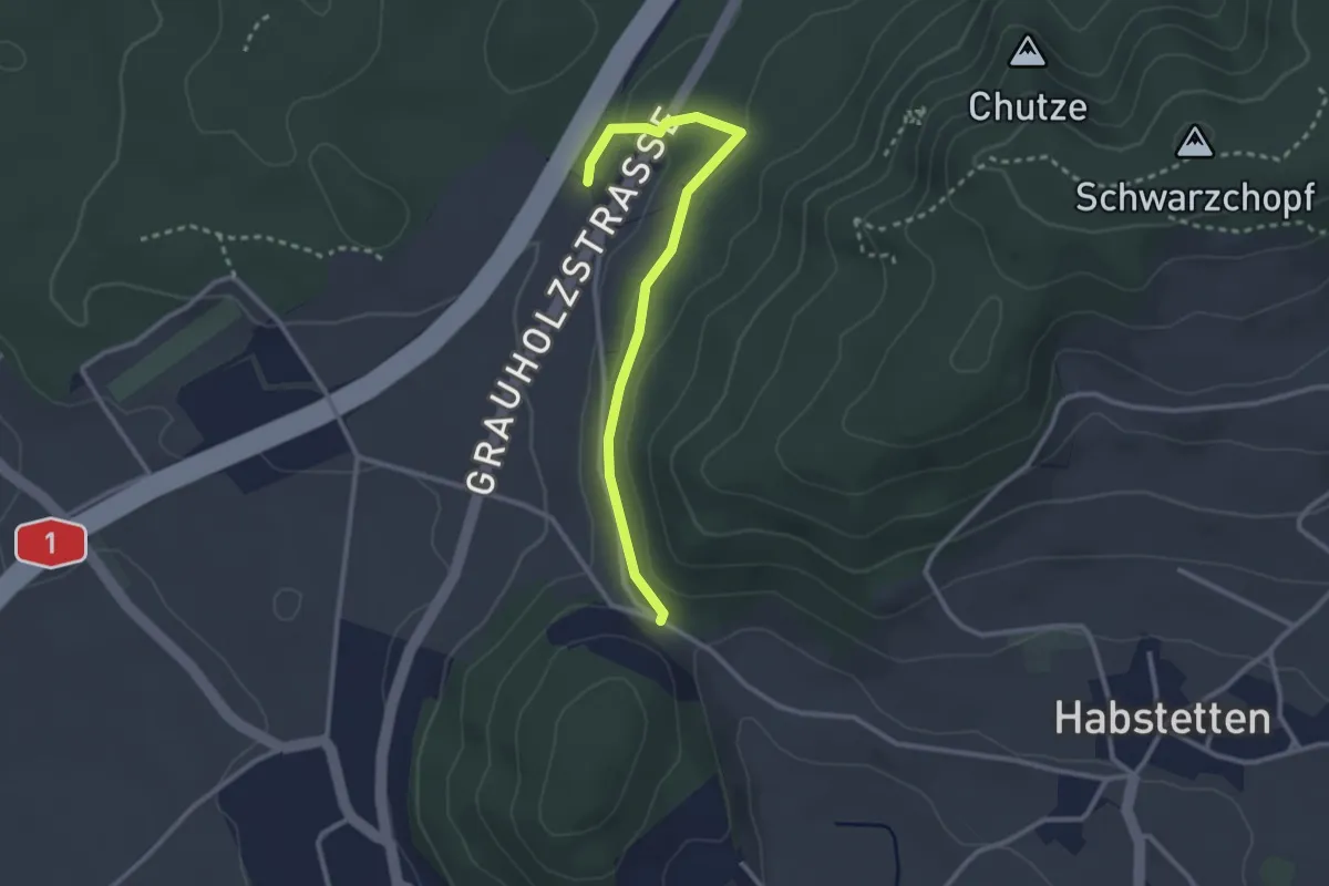
Easy · Trail
Forsthus – Schlupf
2.8 km · ↑ 40 m · 45 min · 2 km away
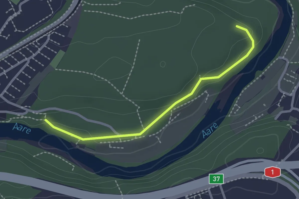
Easy · Trail
Aaregg – Thormeboden
2.1 km · ↑ 30 m · 34 min · 3 km away
Easy · Trail
Münchenbuchsee – Bäreried
3.4 km · ↑ 45 m · 54 min · 3 km away
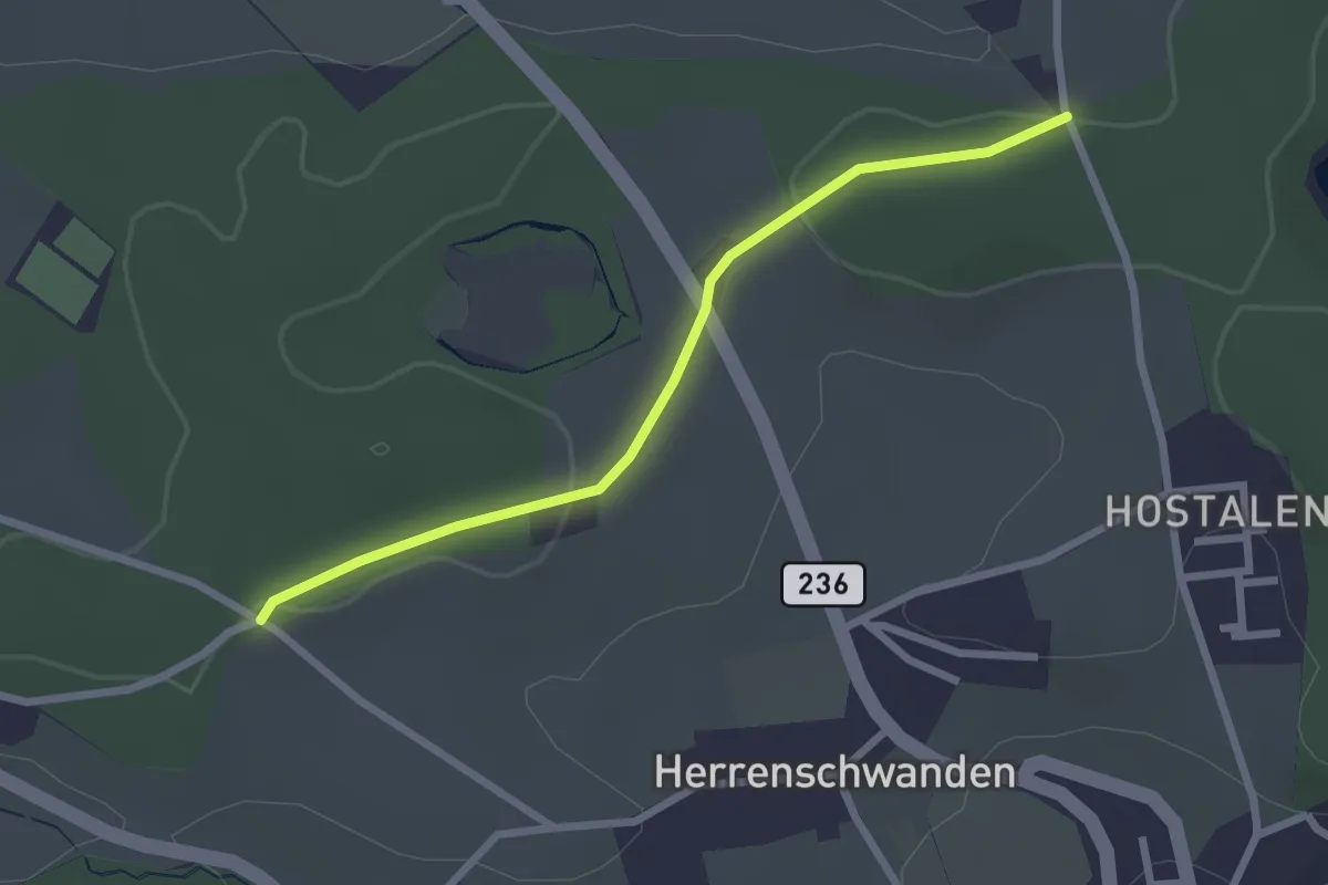
Easy · Trail
Burrishus – Lörwald
2.4 km · ↑ 34 m · 39 min · 3 km away
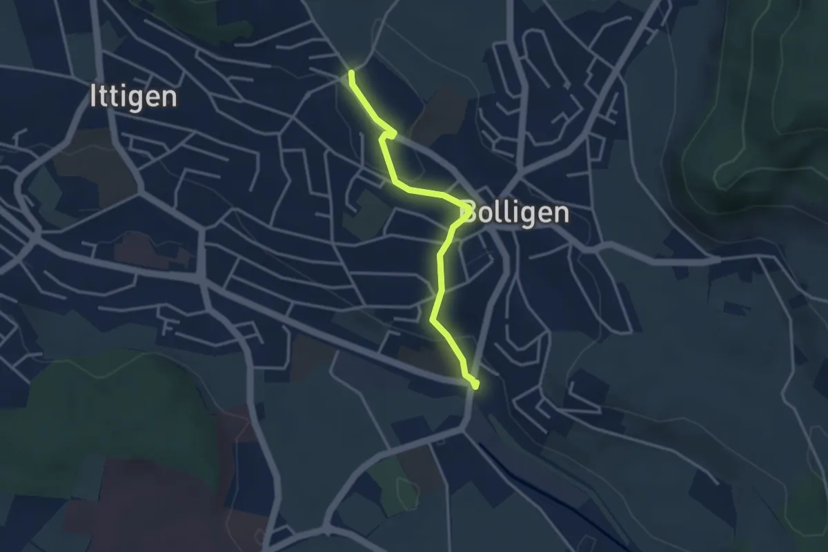
Easy · Trail
Schnägghubel – Bolligen
2.9 km · ↑ 59 m · 48 min · 3 km away
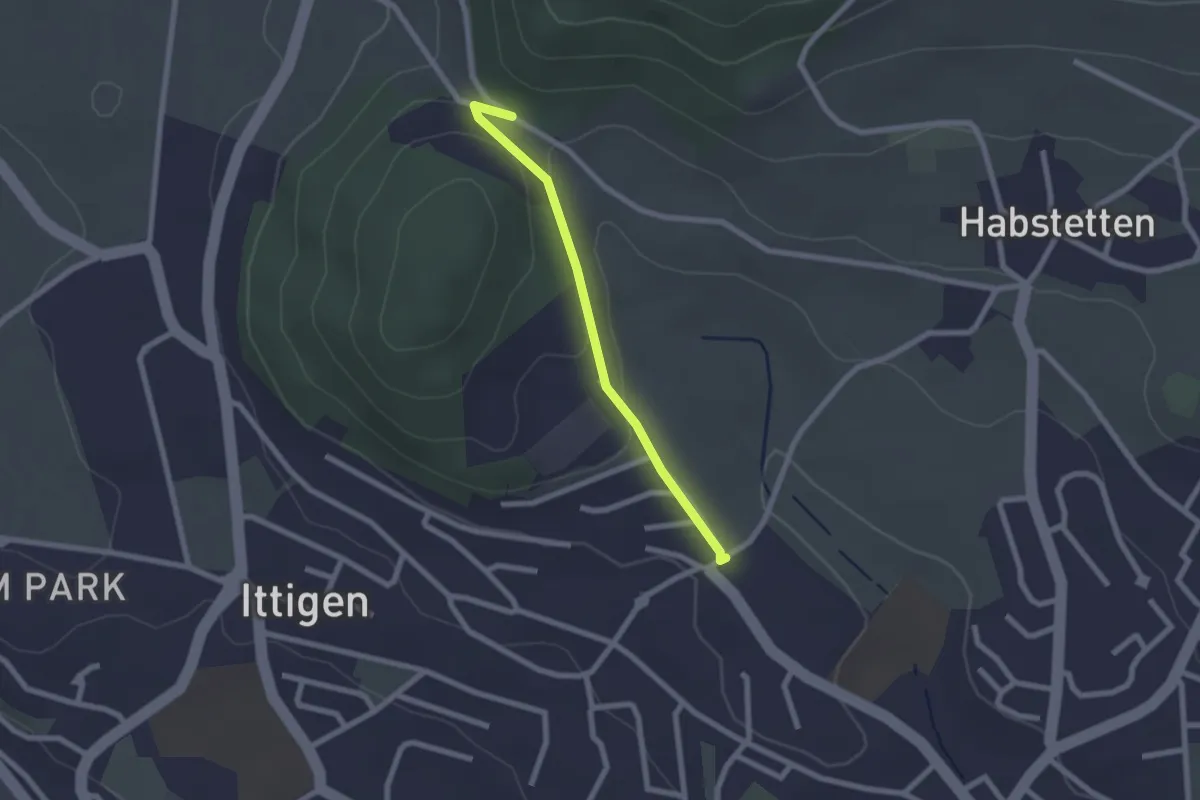
Easy · Trail
Schlupf – Schnägghubel
2.0 km · ↑ 56 m · 36 min · 3 km away
Easy · Trail
Grauholzdenkmal – Forsthus
5.6 km · ↑ 122 m · 1 h 36 min · 3 km away
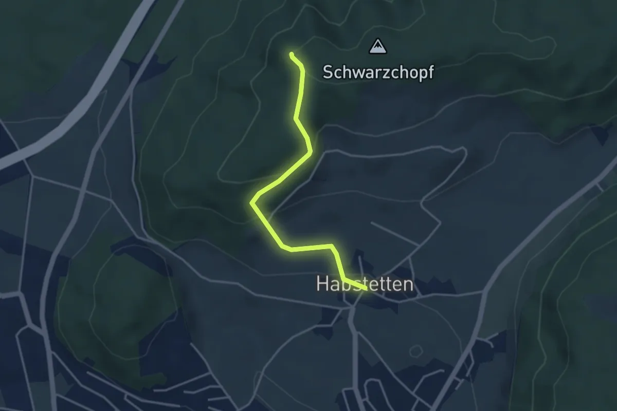
Easy · Trail
Grauholz/Schwarzkopf – Habstetten
3.2 km · ↑ 157 m · 1 h 5 min · 3 km away
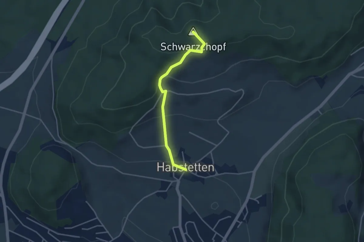
Easy · Summit
Bannholz – Habstetten
3.0 km · ↑ 167 m · 1 h 4 min · 3 km away
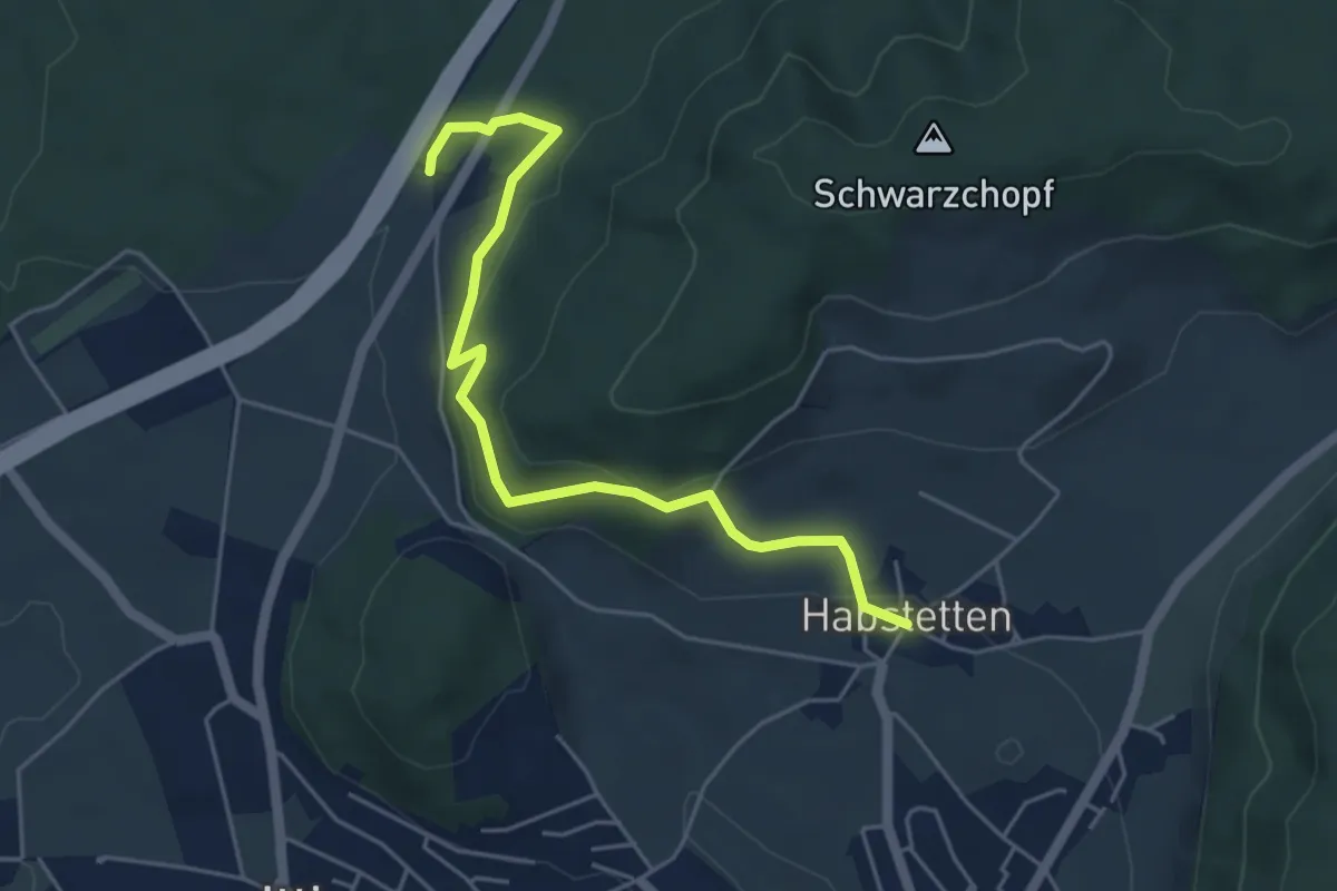
Easy · Trail
Forsthus – Habstetten
5.1 km · ↑ 162 m · 1 h 33 min · 3 km away
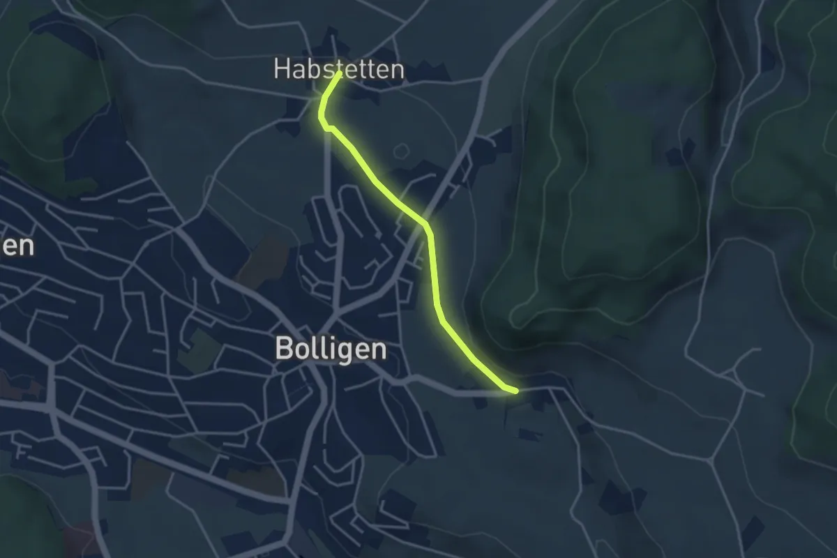
Easy · Trail
Habstetten – Flugbrunnen
3.0 km · ↑ 34 m · 47 min · 3 km away
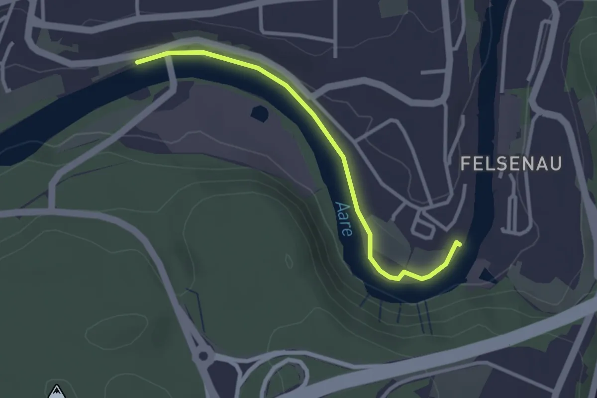
Easy · Trail
Neubrügg – Seftausteg
2.6 km · ↑ 9 m · 38 min · 3 km away
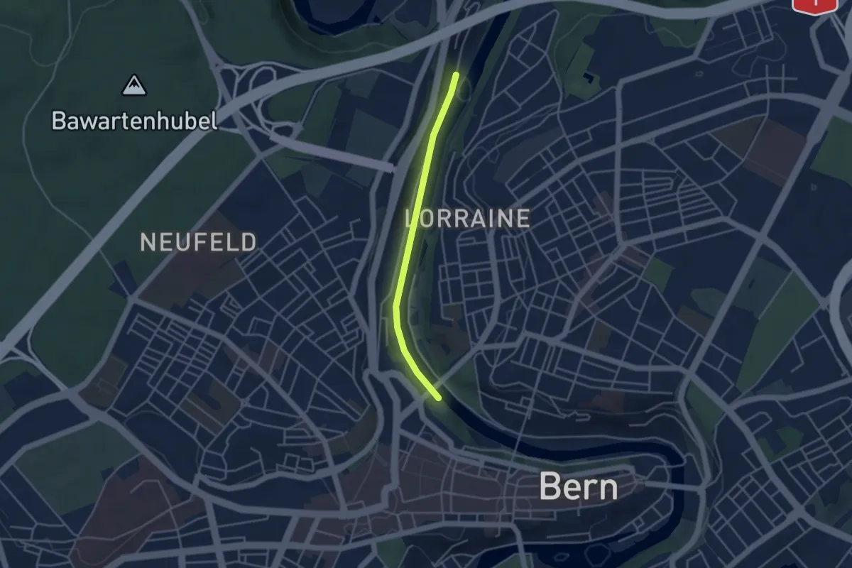
Easy · Trail
Blutturm – Stauwehr Felsenau
3.3 km · ↑ 60 m · 55 min · 3 km away
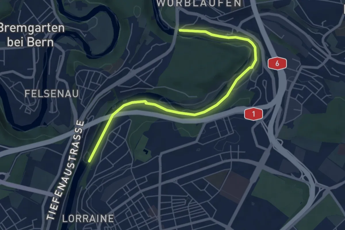
Easy · Trail
Tiefenaubrücke – Felsenausteg
6.4 km · ↑ 56 m · 1 h 38 min · 4 km away
Easy · Trail
Schüpberg – Buchsacher
5.4 km · ↑ 117 m · 1 h 32 min · 4 km away
Easy · Trail
Jetzikofen – Buchsacher
3.8 km · ↑ 119 m · 1 h 9 min · 4 km away
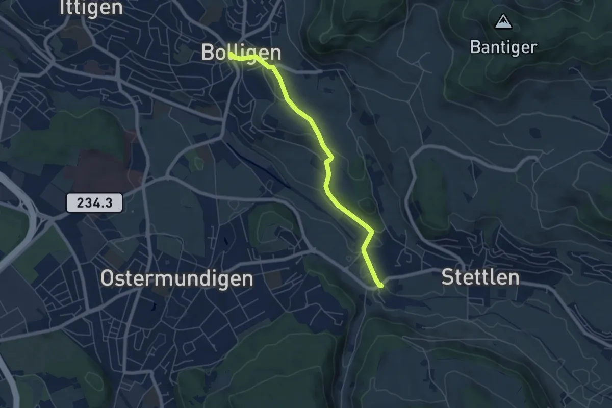
Easy · Trail
Bolligen / Sternen – Deisswil
5.4 km · ↑ 90 m · 1 h 29 min · 4 km away
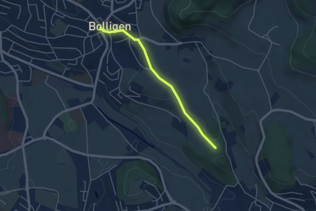
Easy · Trail
Bolligen / Sternen – Schwandiholz
3.4 km · ↑ 53 m · 55 min · 4 km away
Easy · Trail
Schwanden – Bäreried
6.0 km · ↑ 226 m · 1 h 54 min · 4 km away
Easy · Trail
Bäreried – Schüpberg
6.0 km · ↑ 129 m · 1 h 41 min · 4 km away
Easy · Trail
Schönbühl SBB – Holzmatt
2.4 km · ↑ 13 m · 35 min · 4 km away
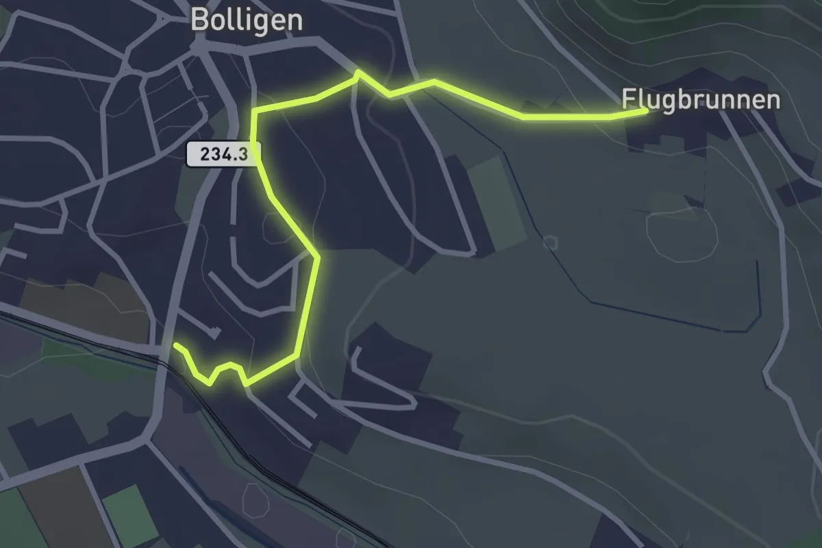
Easy · Trail
Flugbrunnen – Bolligen
2.9 km · ↑ 87 m · 53 min · 4 km away
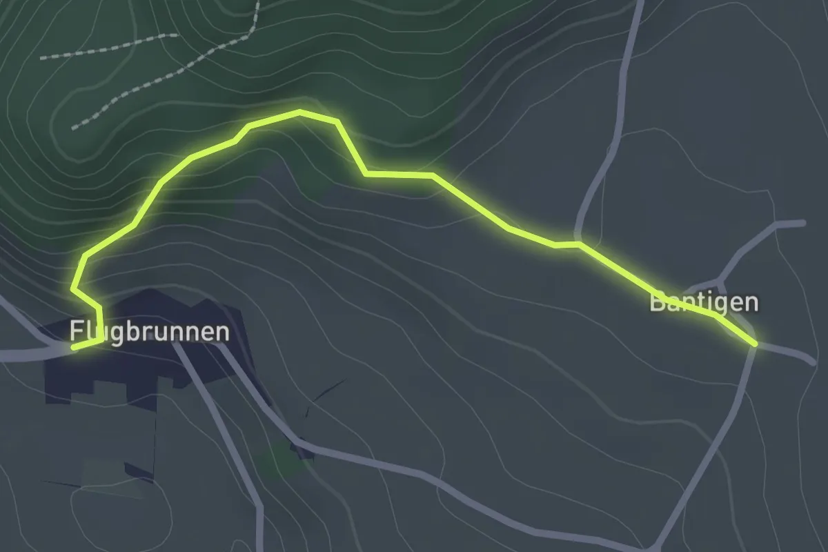
Easy · Trail
Bantigen – Flugbrunnen
2.3 km · ↑ 151 m · 53 min · 4 km away
Easy · Trail
Wasebode – Holzmatt
2.2 km · ↑ 19 m · 33 min · 5 km away
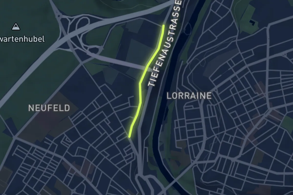
Easy · Trail
Bierhübeli – Äussere Enge
2.2 km · ↑ 9 m · 32 min · 5 km away
Easy · Trail
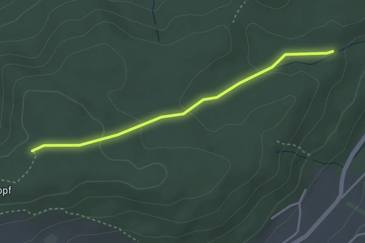
Sädelbachhüttli – Bannholz
2.8 km · ↑ 83 m · 50 min · 5 km away
Easy · Trail
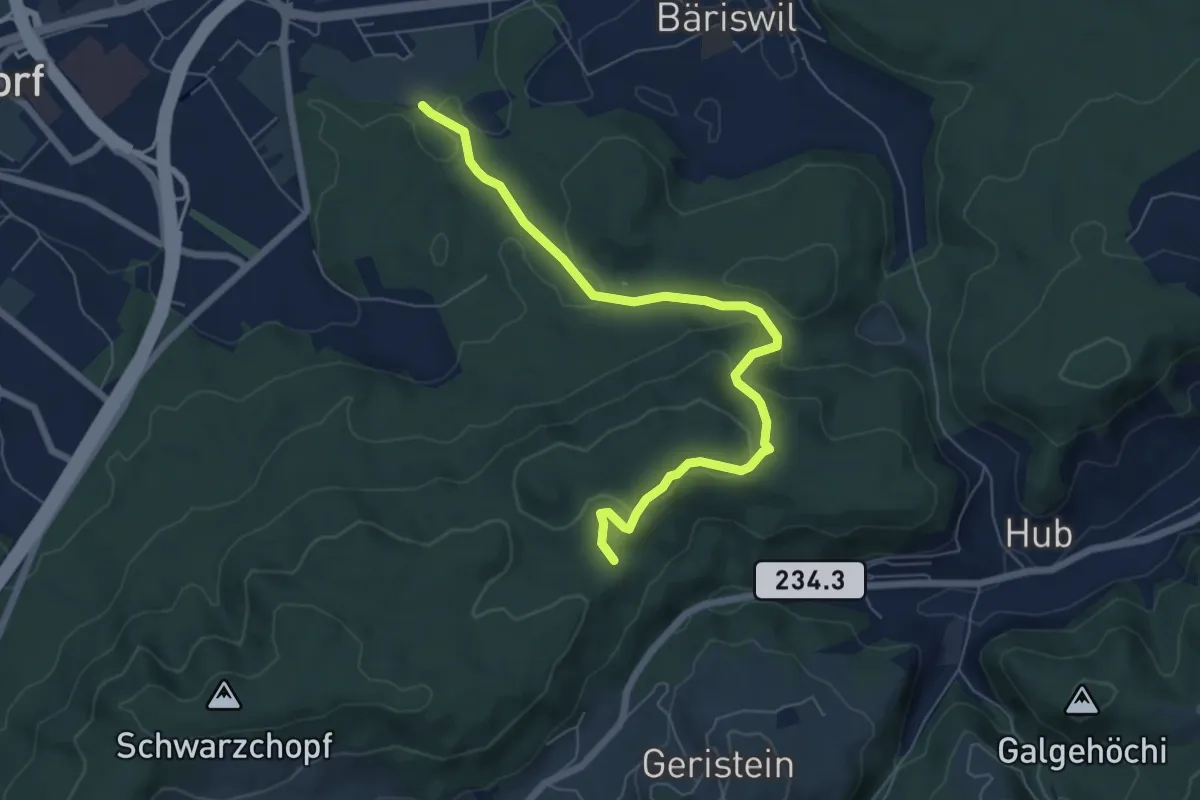
Holzmatt – Mattstettenberg
6.9 km · ↑ 277 m · 2 h 14 min · 5 km away
Easy · Trail
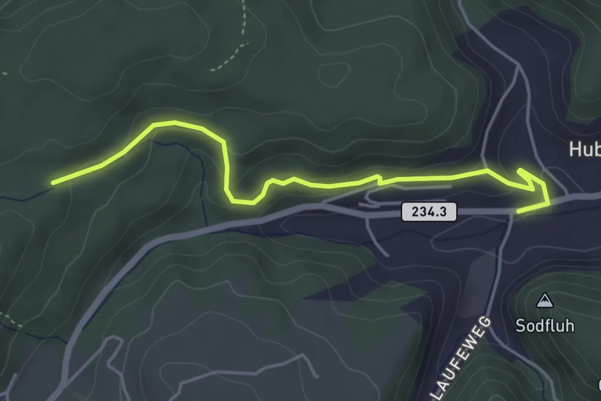
Sädelbachhüttli – Hueb
4.2 km · ↑ 167 m · 1 h 22 min · 5 km away
Easy · Trail
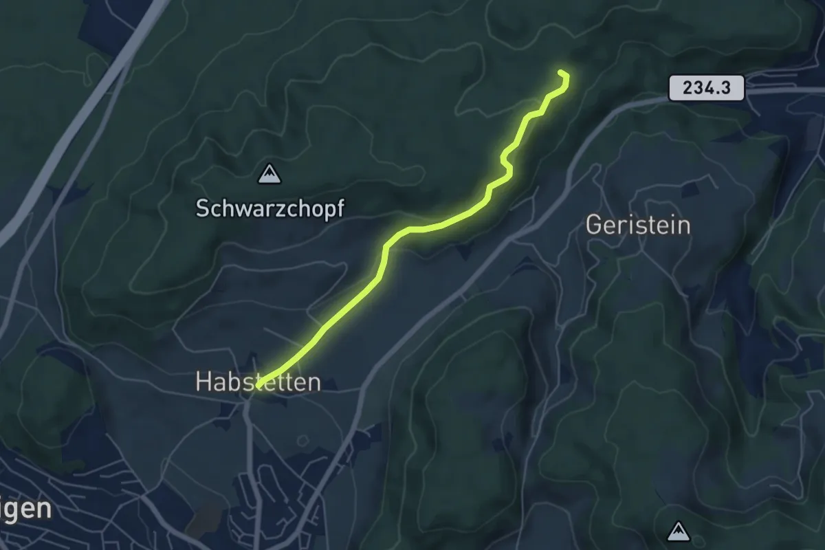
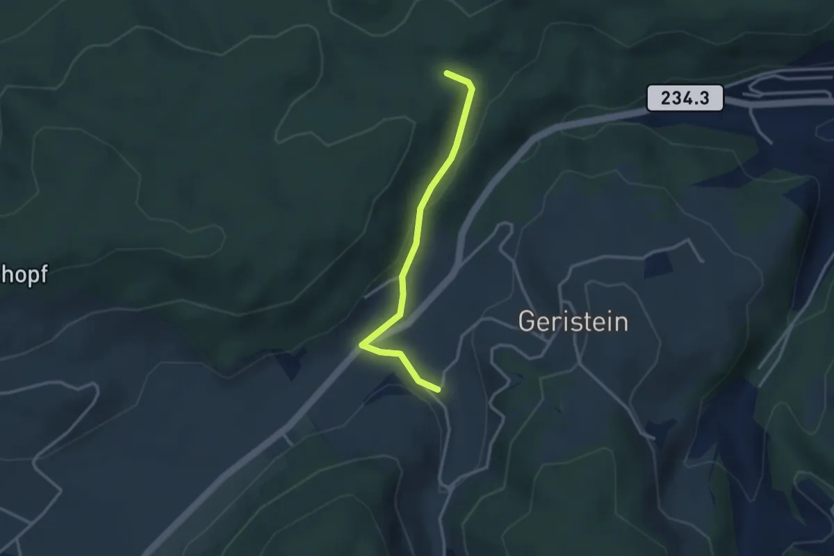
Sädelbachhüttli – Habstetten
5.0 km · ↑ 180 m · 1 h 35 min · 5 km away
Easy · Trail
Sädelbachhüttli – Lutzere
2.7 km · ↑ 47 m · 44 min · 5 km away
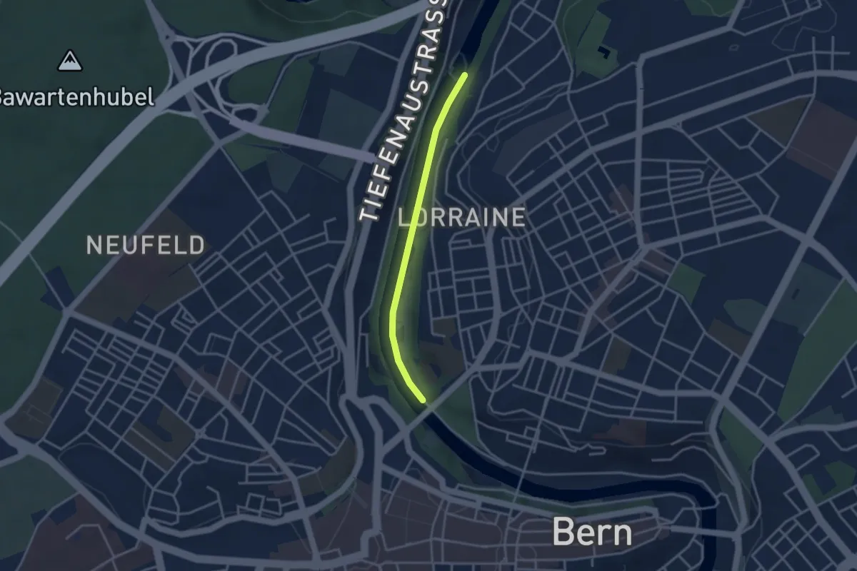
Easy · Trail
Felsenausteg – Lorrainebrücke
2.8 km · ↑ 5 m · 41 min · 5 km away
Easy · Trail
Mattstetten – Urtenen
2.2 km · ↑ 13 m · 32 min · 5 km away
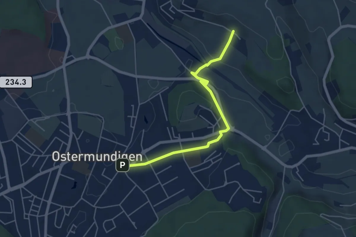
Easy · Trail
Hüenerbüel – Ostermundigen
4.6 km · ↑ 91 m · 1 h 17 min · 5 km away
Easy · Trail
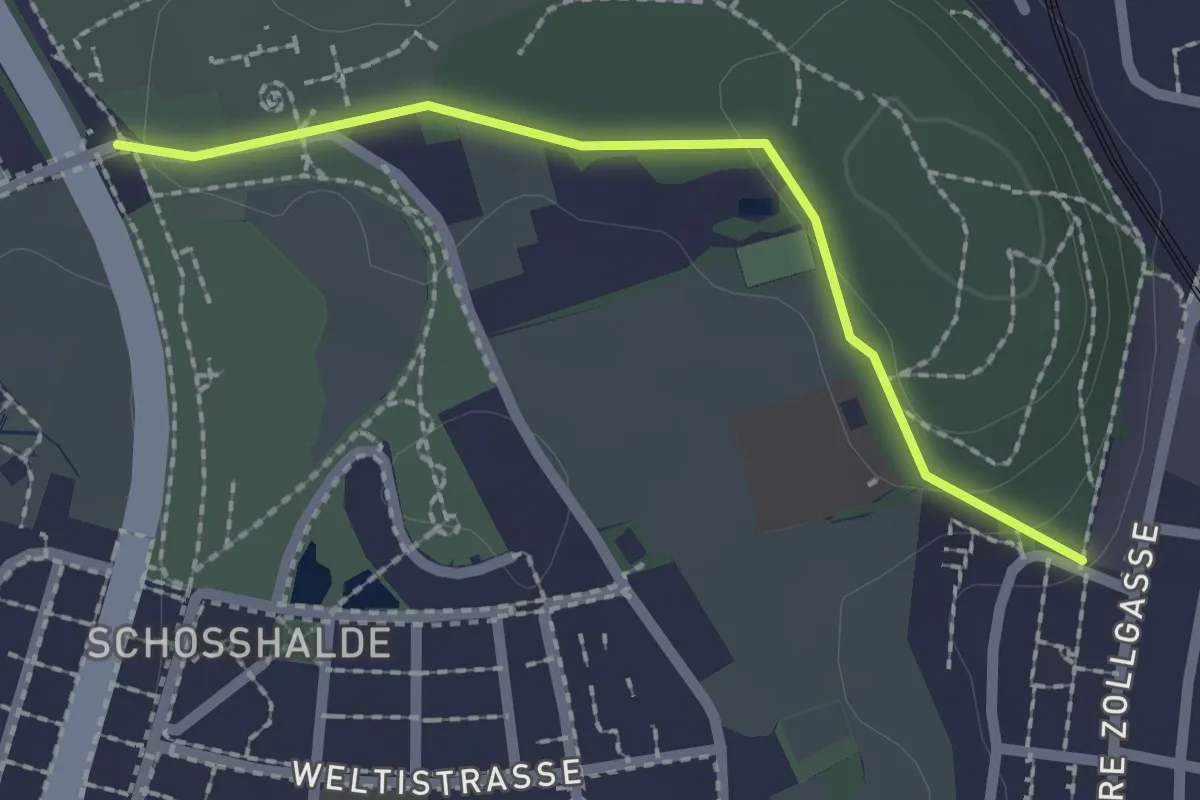
Wasebode – Wannetal
3.7 km · ↑ 69 m · 1 h 1 min · 5 km away
Easy · Trail
Tiefenmösli – Zentrum Paul Klee
2.0 km · ↑ 38 m · 33 min · 5 km away
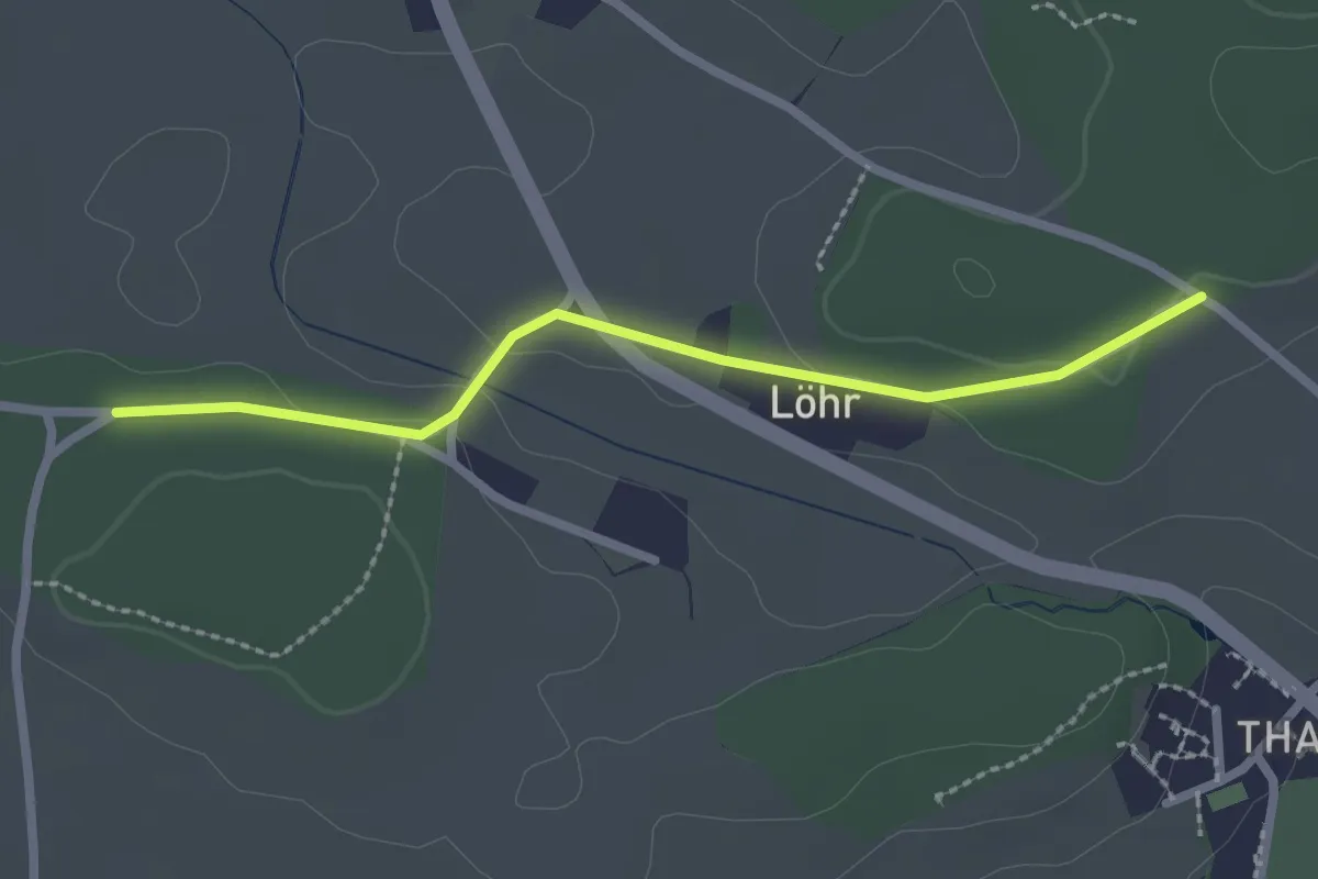
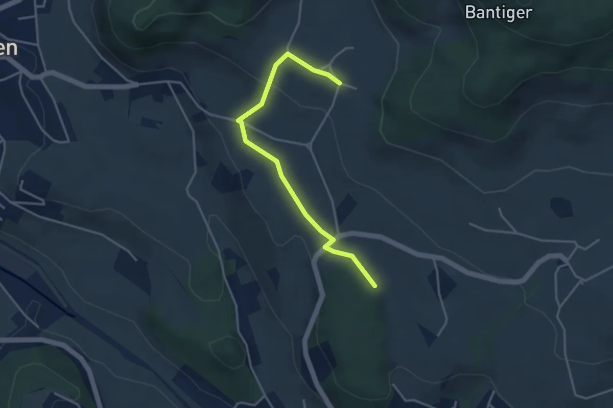
Easy · Trail
Buechwald – Lörwald
2.3 km · ↑ 29 m · 36 min · 5 km away
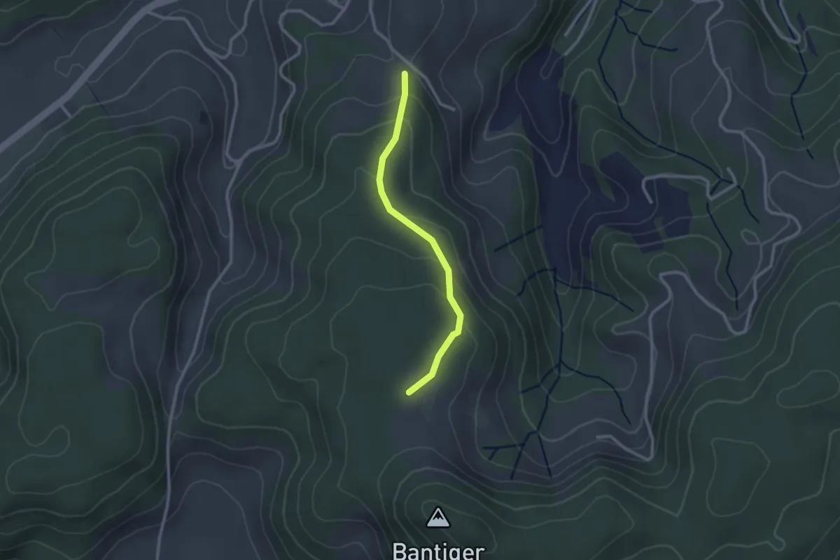
Easy · Trail
Bantigen – Buecholz
3.3 km · ↑ 57 m · 54 min · 5 km away
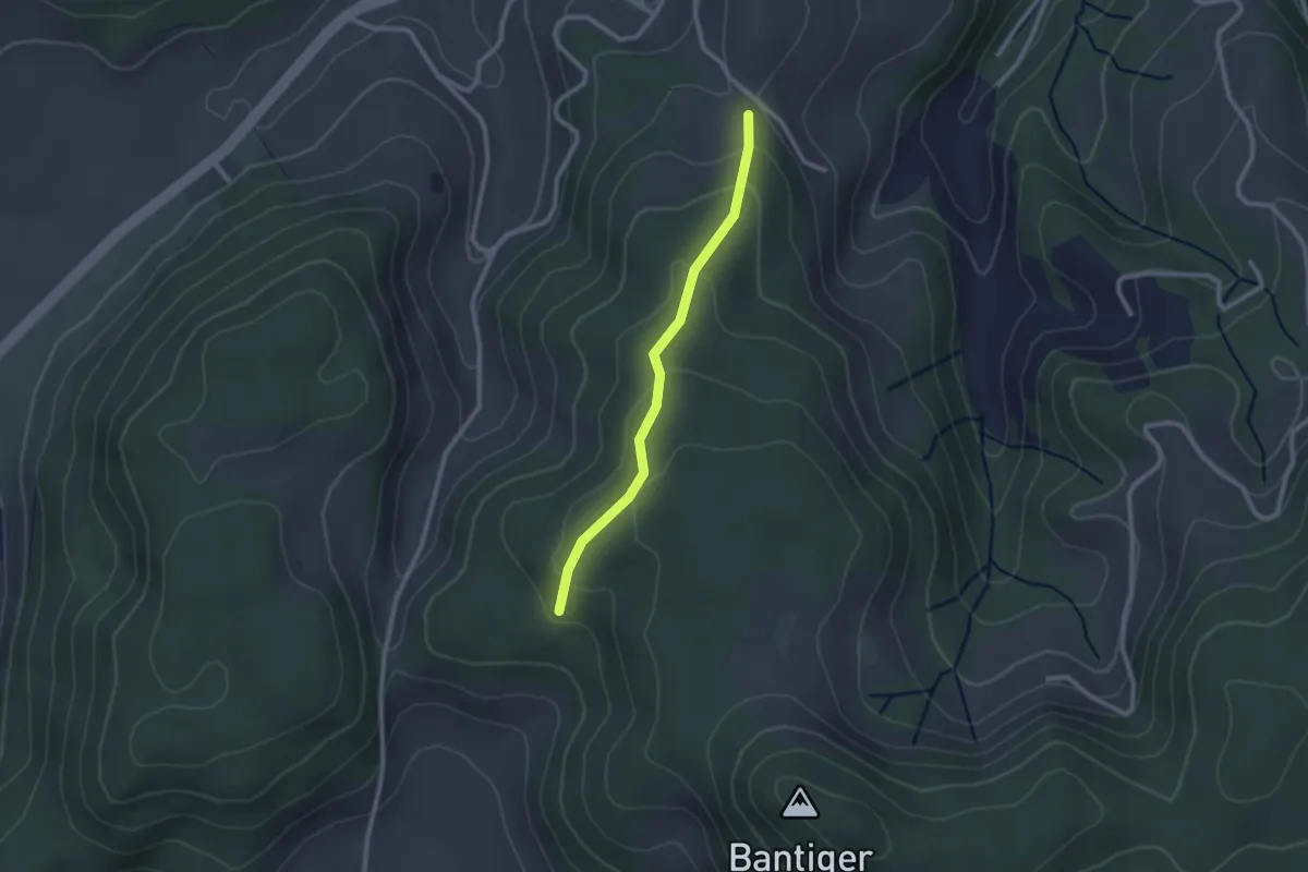
Easy · Trail
Geristein – Bantigenhubel
2.3 km · ↑ 111 m · 46 min · 5 km away
Easy · Trail
Geristein – Geristeinwald
2.2 km · ↑ 89 m · 42 min · 5 km away
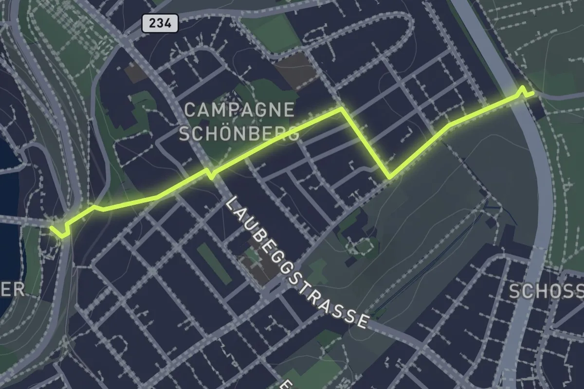
Easy · Trail
Bern/Bärenpark – Zentrum Paul Klee
2.5 km · ↑ 82 m · 46 min · 5 km away
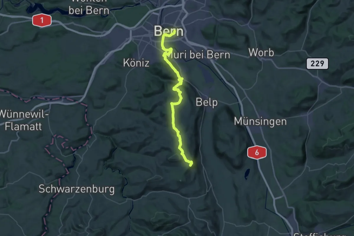
Demanding · Summit
ViaJacobi
38.0 km · ↑ 1072 m · 11 h 18 min · 5 km away
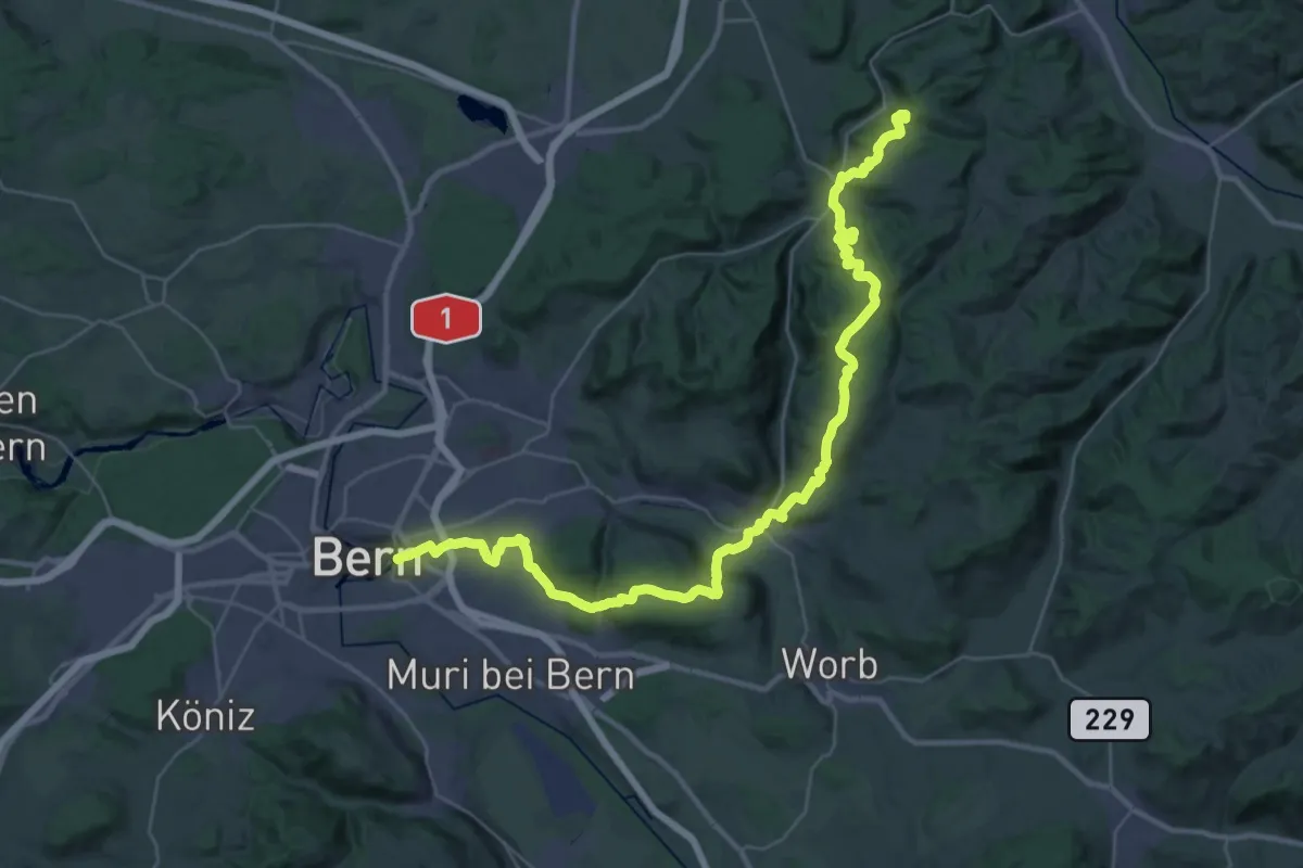
Demanding · Summit
ViaJacobi
42.9 km · ↑ 1593 m · 13 h 35 min · 5 km away
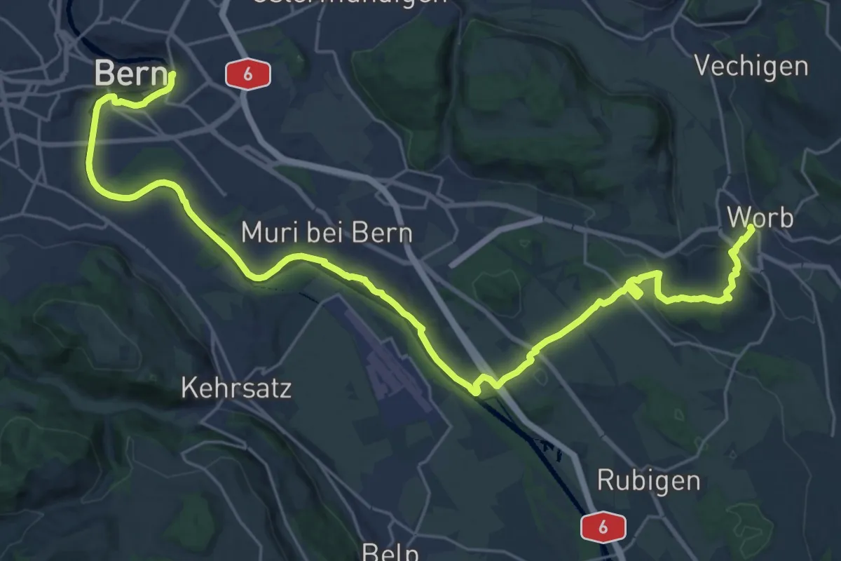
Medium · Trail
Trans Swiss Trail
15.7 km · ↑ 273 m · 4 h 29 min · 5 km away
Easy · Trail
Moosaffoltern – Bangerten
3.6 km · ↑ 46 m · 56 min · 6 km away
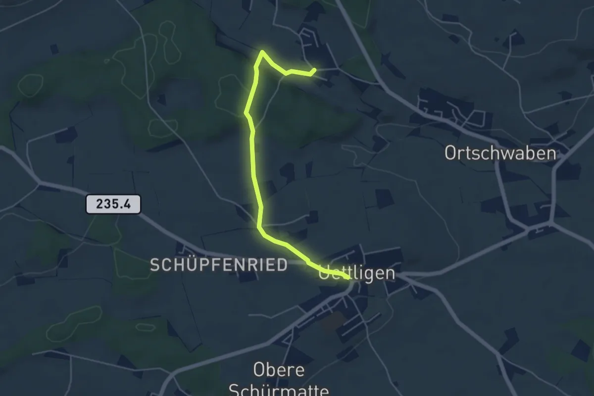
Easy · Trail
Uettligen/Linde - Weissenstein
4.6 km · ↑ 64 m · 1 h 13 min · 6 km away