Trails near Zollikofen
477 hikes starting within 15 km, nearest first.
Nearest first, page 4 of 10
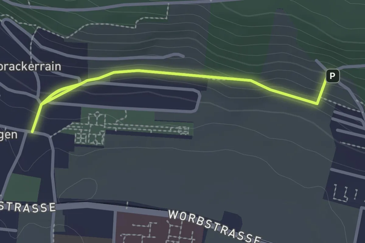
Easy · Trail
Gümligen/Kirche – Scheieholz
2.7 km · ↑ 103 m · 51 min · 8 km away
Easy · Summit
Krauchthal – ?
4.9 km · ↑ 215 m · 1 h 37 min · 8 km away
Medium · Trail
Siebenwegeplatz – Krauchthal
11.7 km · ↑ 236 m · 3 h 16 min · 8 km away
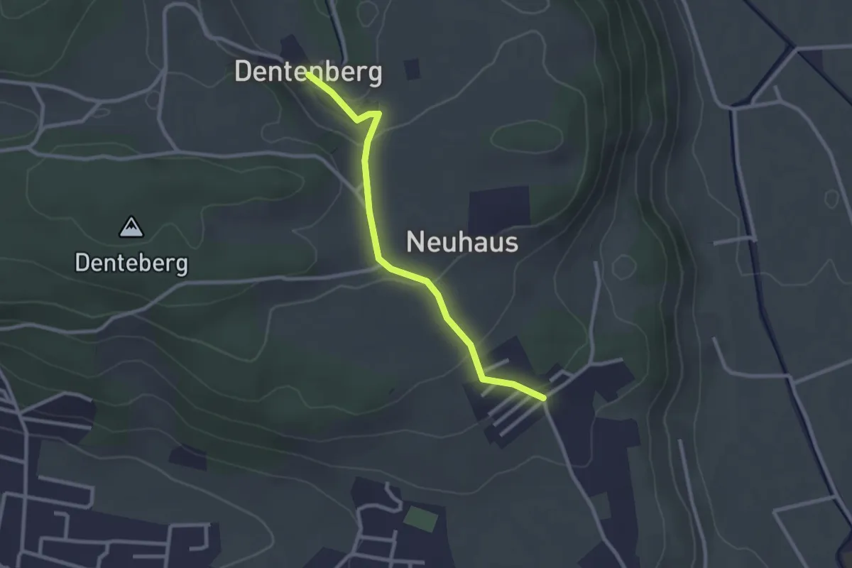
Easy · Trail
Neuhus – Dentenberg
2.4 km · ↑ 80 m · 45 min · 8 km away
Easy · Trail
Wengi – Rapperswil
4.9 km · ↑ 117 m · 1 h 25 min · 8 km away
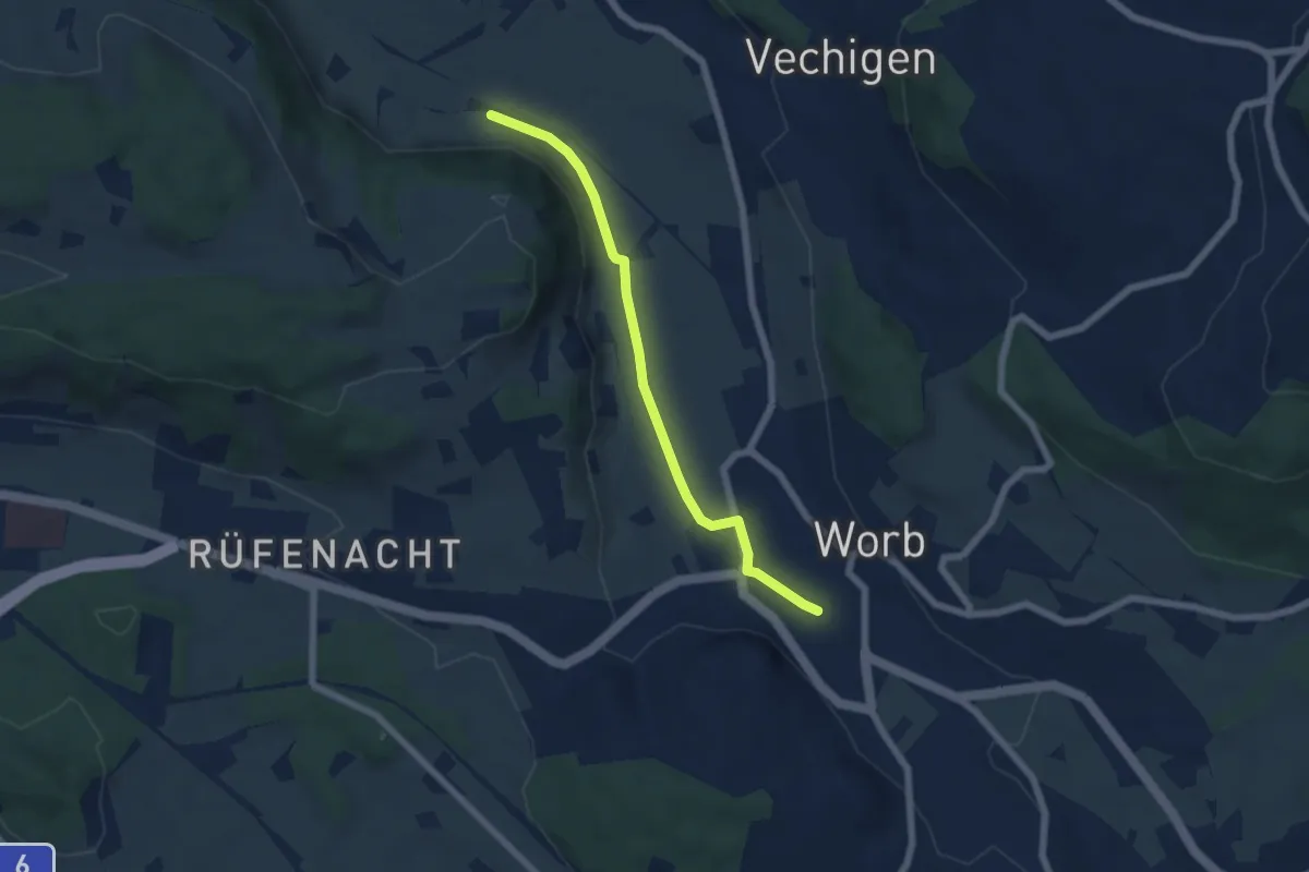
Easy · Trail
Nesselbank - Worb Sternen
5.6 km · ↑ 31 m · 1 h 24 min · 8 km away
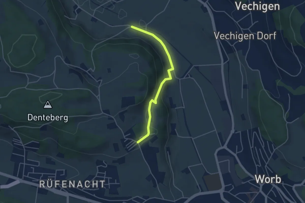
Easy · Trail
Nesselbank - Neuhus
3.8 km · ↑ 126 m · 1 h 10 min · 8 km away
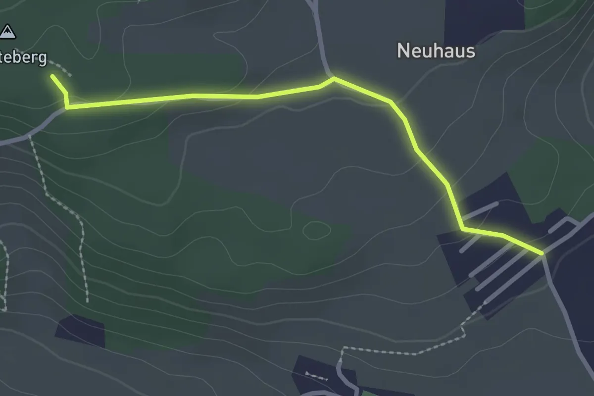
Easy · Trail
Neuhus – Denteberg
2.4 km · ↑ 76 m · 44 min · 9 km away
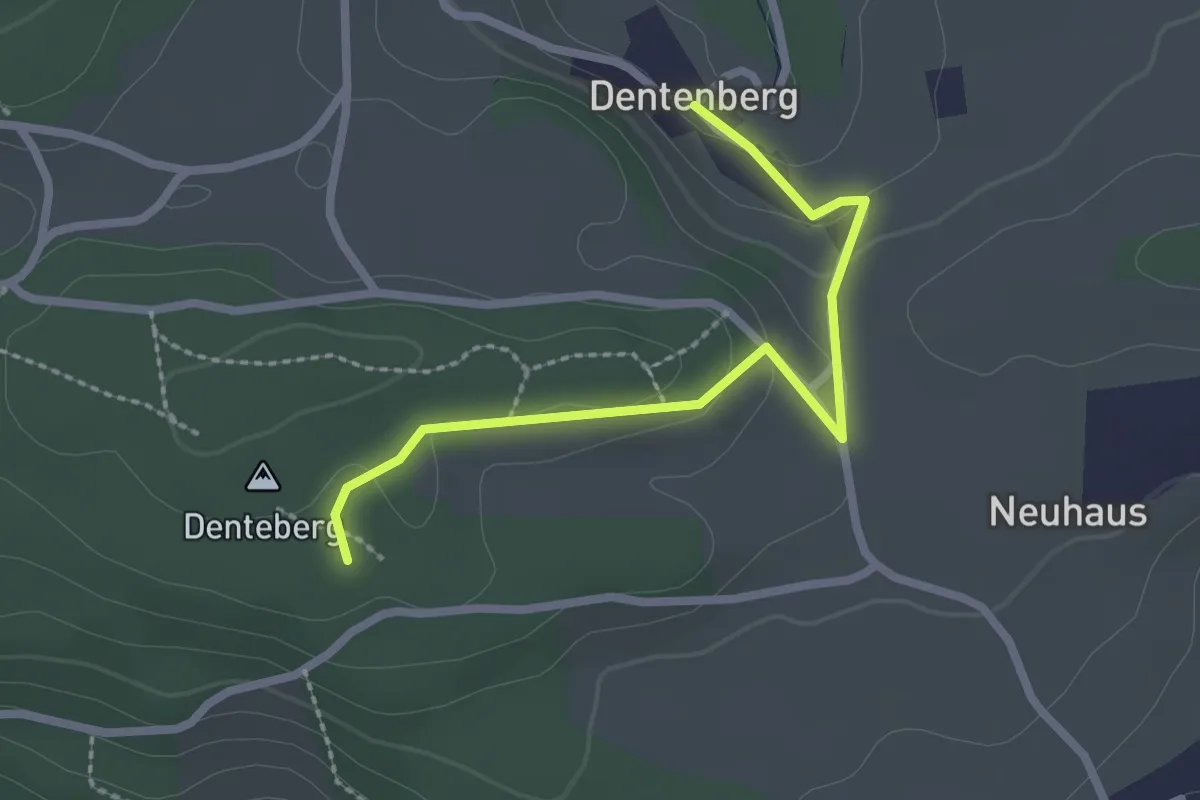
Easy · Trail
Dentenberg – Dentenberg
2.4 km · ↑ 69 m · 43 min · 9 km away
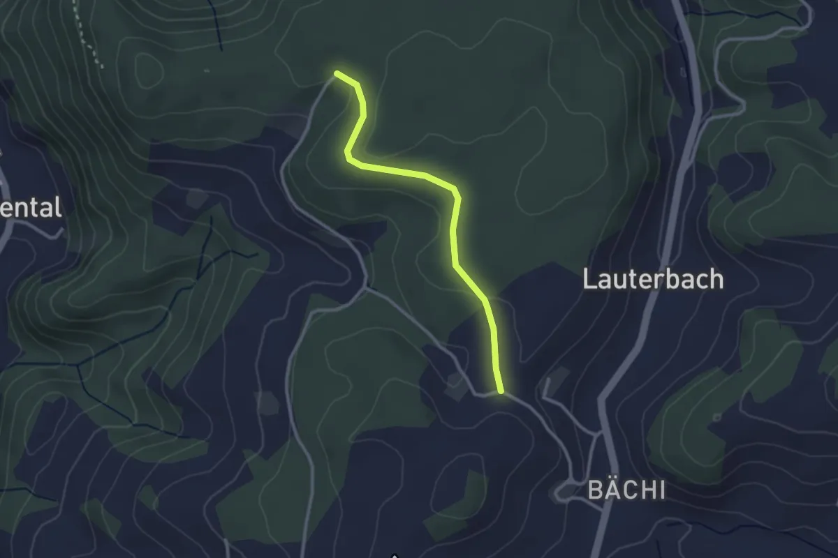
Easy · Trail
Aebnit/Klosterweg – Rötelismatt
2.5 km · ↑ 32 m · 40 min · 9 km away
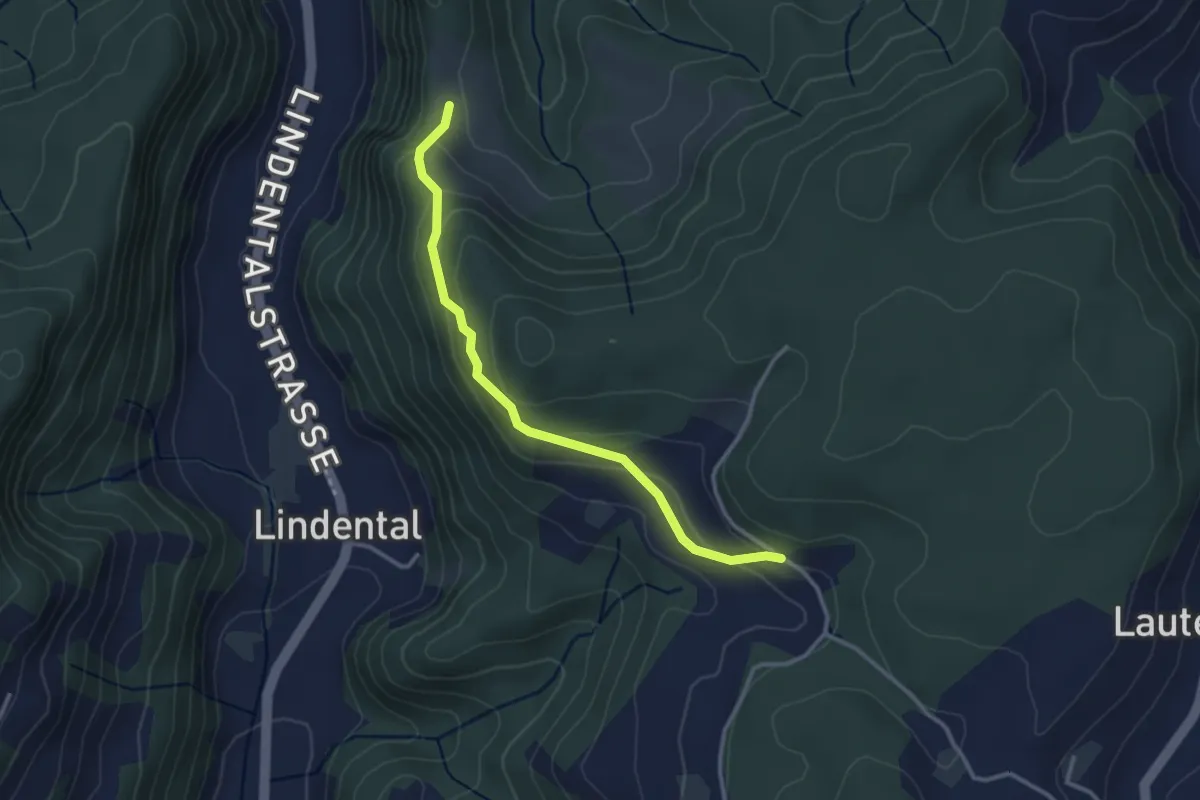
Demanding · Summit
Krauchthal – Krauchthal
1.4 km · ↑ 98 m · 33 min · 9 km away
Easy · Trail
Vordere Geisme – Sonnenrain
3.0 km · ↑ 144 m · 1 h 1 min · 9 km away
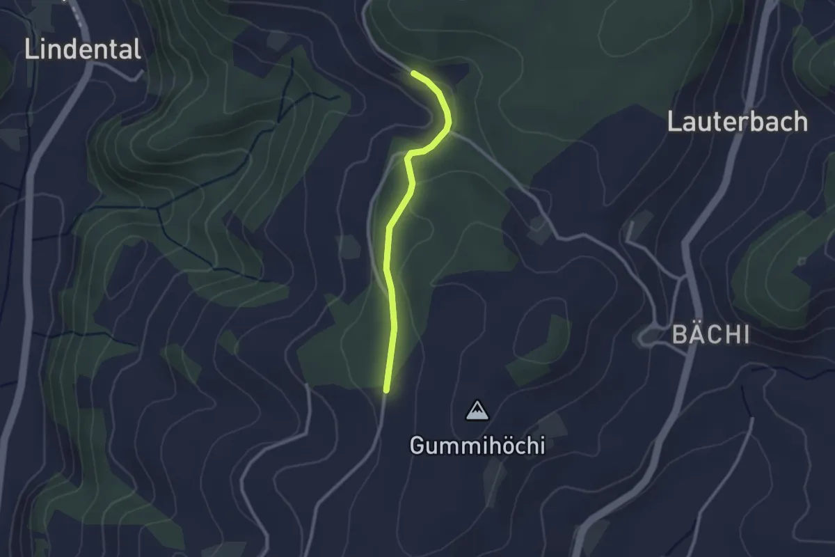
Easy · Trail
Sunnerain – Utzigenwull
2.1 km · ↑ 23 m · 33 min · 9 km away
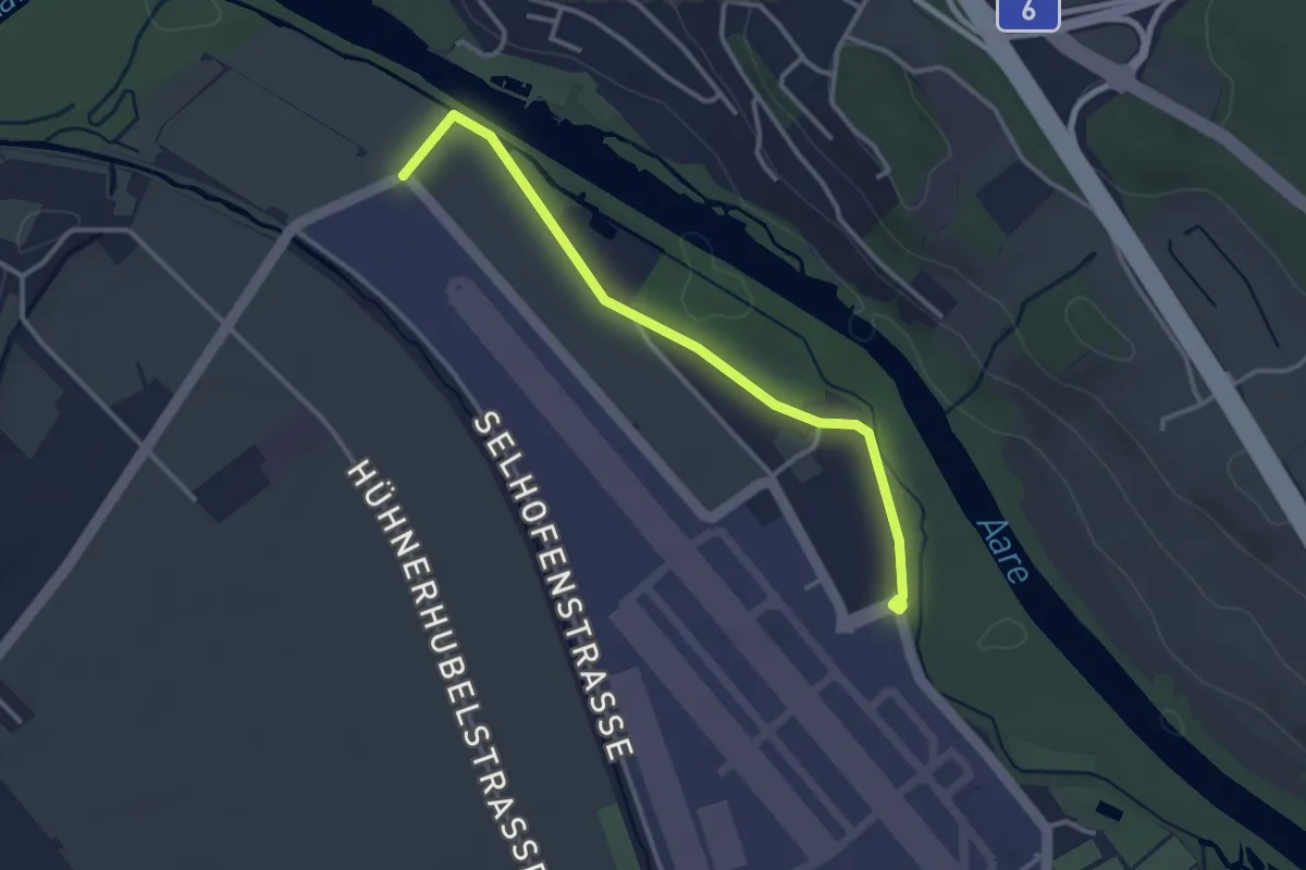
Easy · Trail
Flugplatz Bern Belp - Kehrsatz - fixme
3.2 km · ↑ 5 m · 46 min · 9 km away
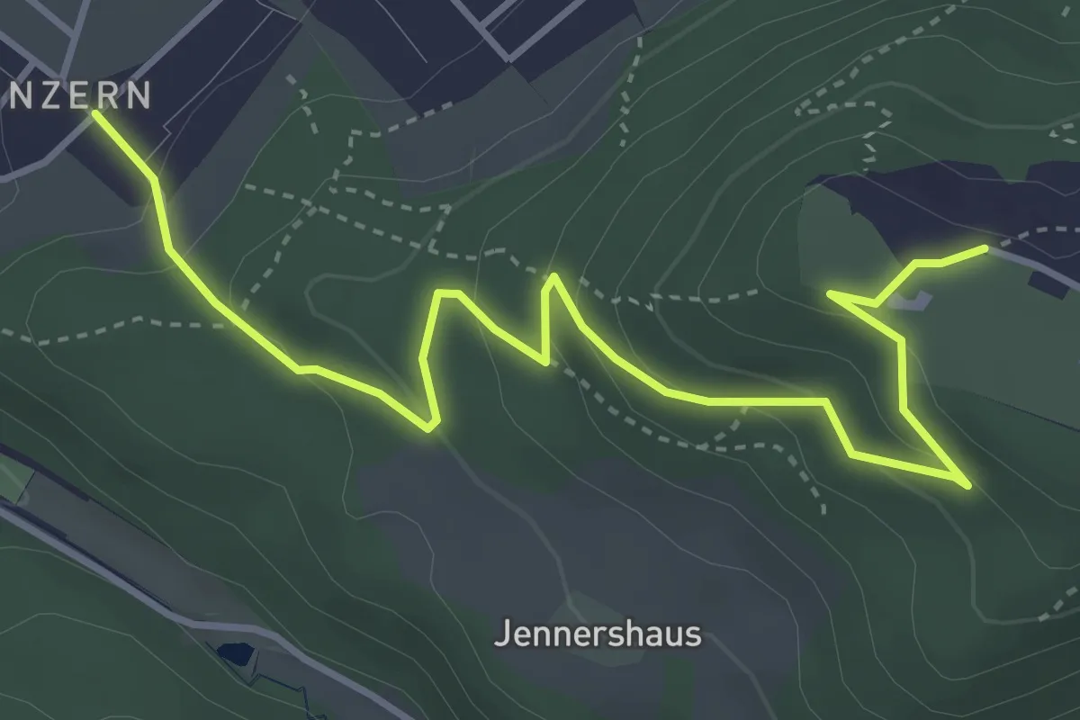
Easy · Trail
Blinzern – Gurten Kulm
4.5 km · ↑ 233 m · 1 h 34 min · 9 km away
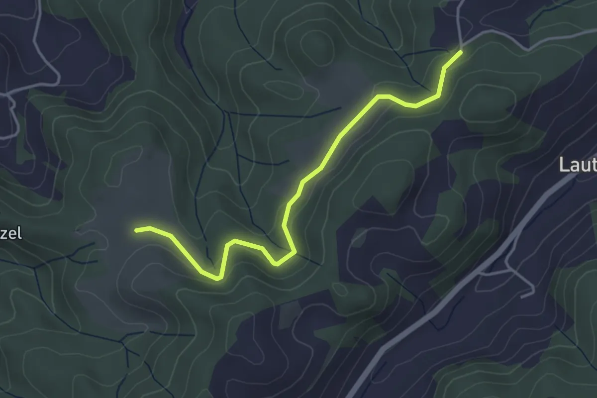
Easy · Trail
Buechwald – Schwändi
3.8 km · ↑ 169 m · 1 h 16 min · 9 km away
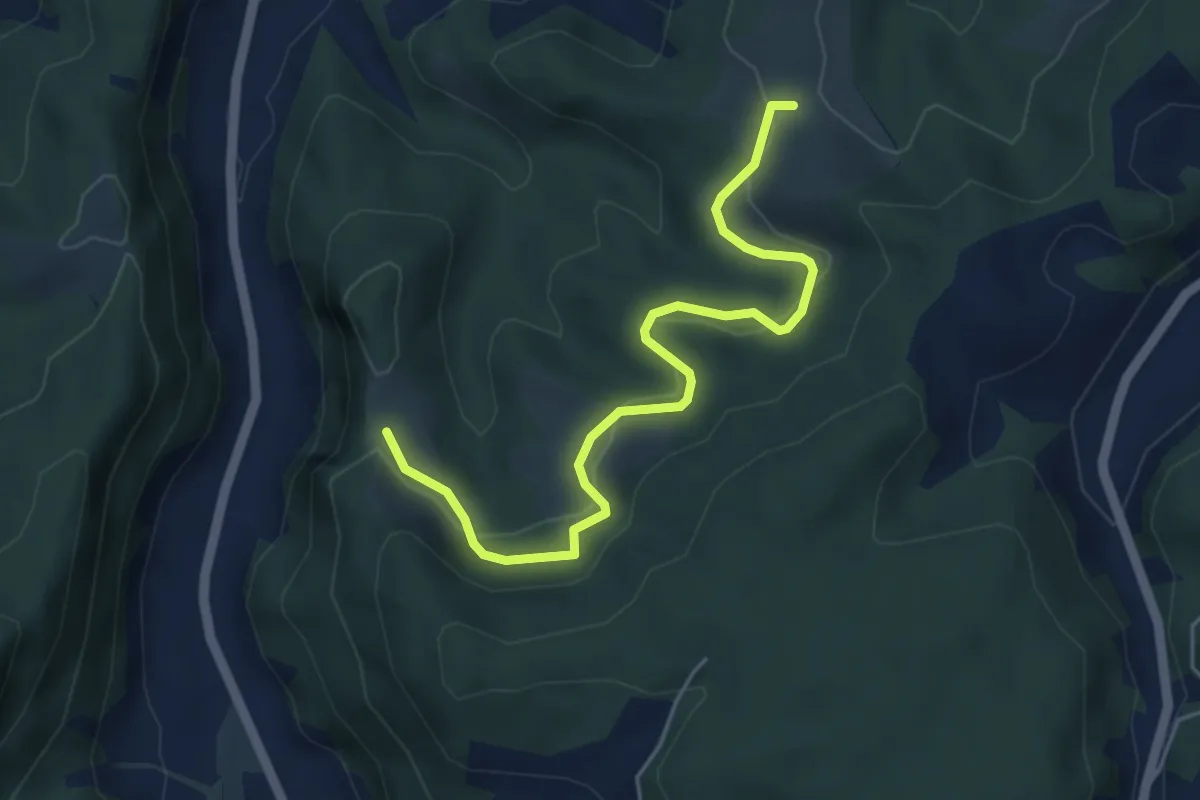
Easy · Trail
Schwändi – Vordere Geisme
5.0 km · ↑ 203 m · 1 h 38 min · 9 km away
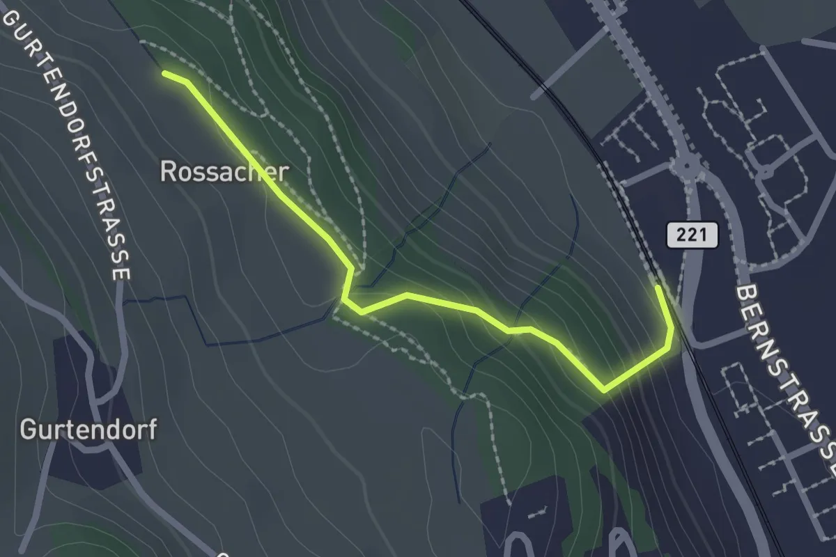
Easy · Trail
Kehrsatz Nord - Rossacker
2.0 km · ↑ 123 m · 45 min · 9 km away
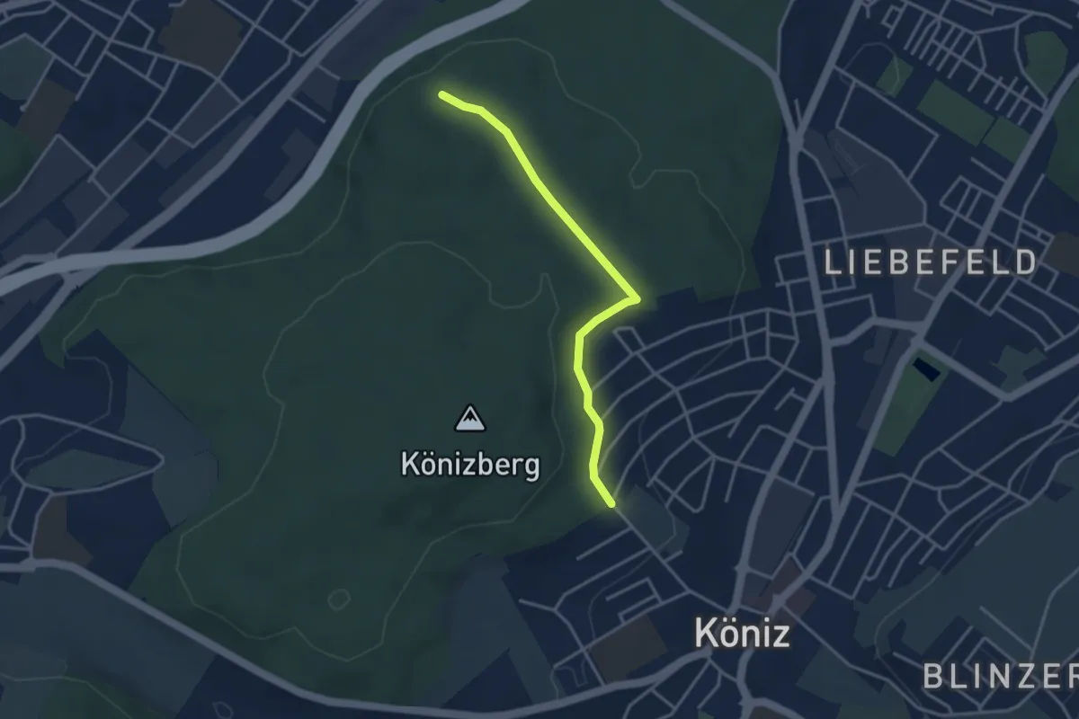
Easy · Trail
Köniz/Ober Buchsee – Pfaffensteig
3.2 km · ↑ 53 m · 52 min · 9 km away
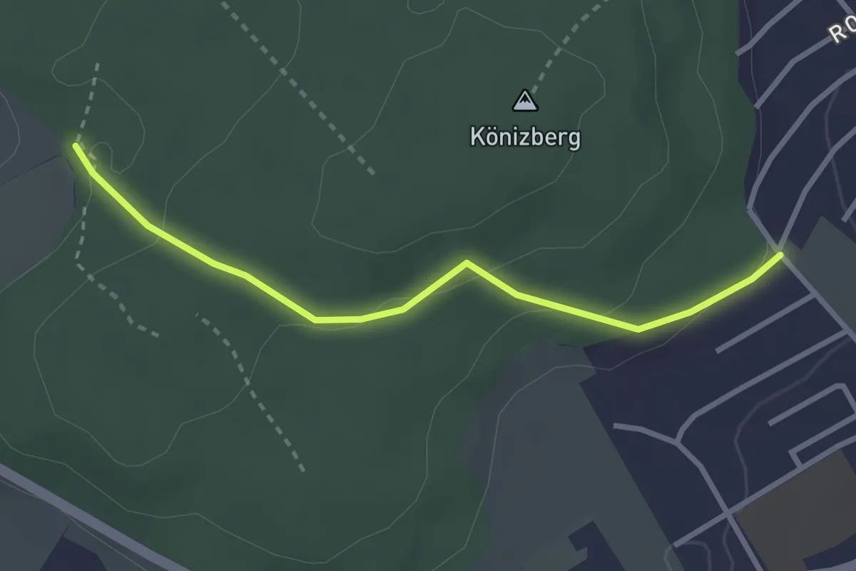
Easy · Summit
Sandstein Lehrpfad
3.4 km · ↑ 310 m · 1 h 29 min · 9 km away
Easy · Trail
Tubentränke - Köniz/Ober Buchsee
2.7 km · ↑ 94 m · 51 min · 9 km away
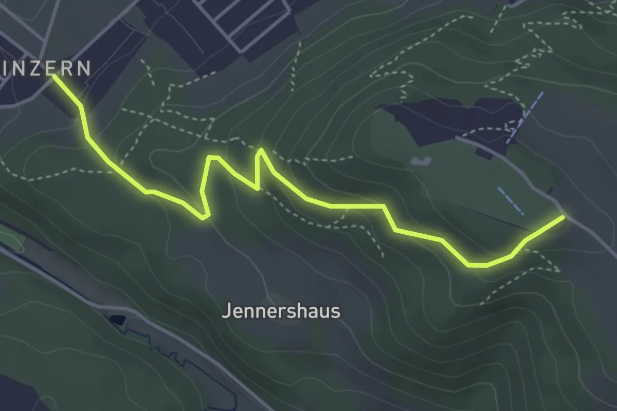
Easy · Summit
Blinzern – Gurten/Ostsignal
4.2 km · ↑ 238 m · 1 h 31 min · 9 km away
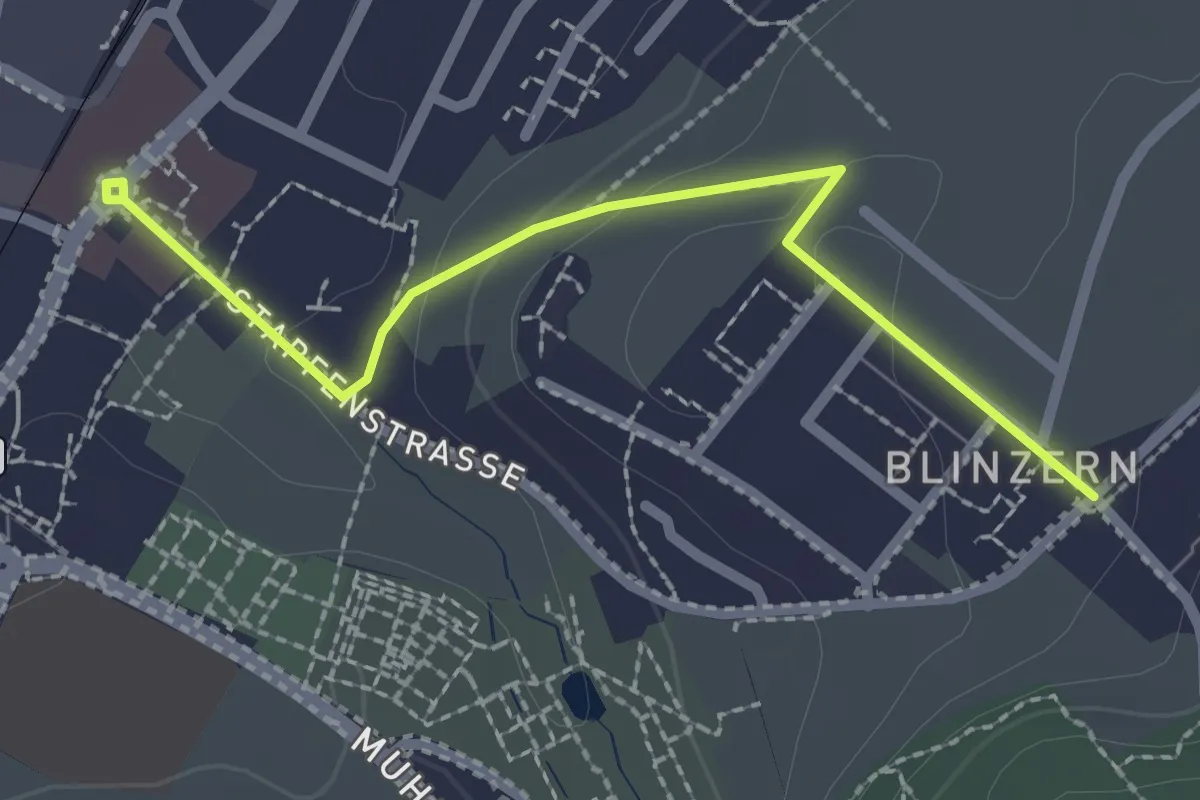
Easy · Trail
Köniz - Blinzeren
2.3 km · ↑ 49 m · 39 min · 9 km away
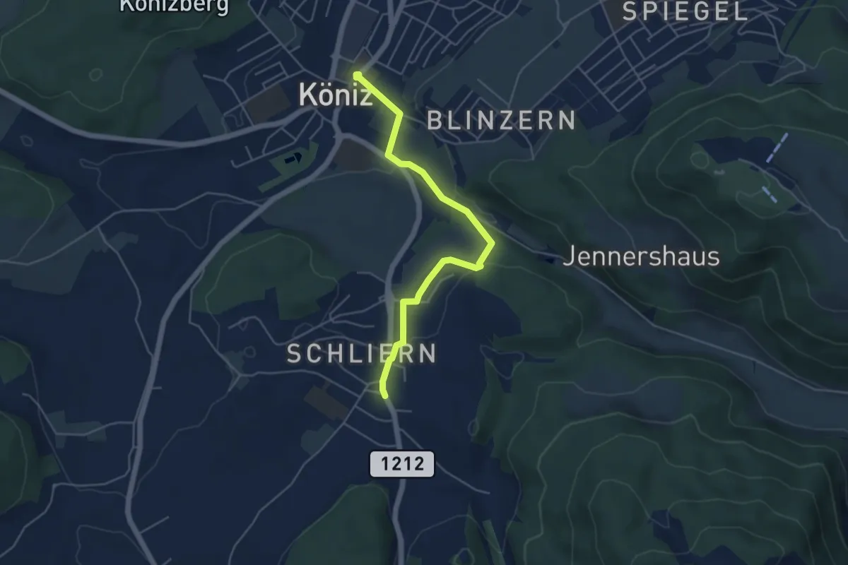
Easy · Trail
Schliern - Köniz
4.8 km · ↑ 145 m · 1 h 27 min · 9 km away
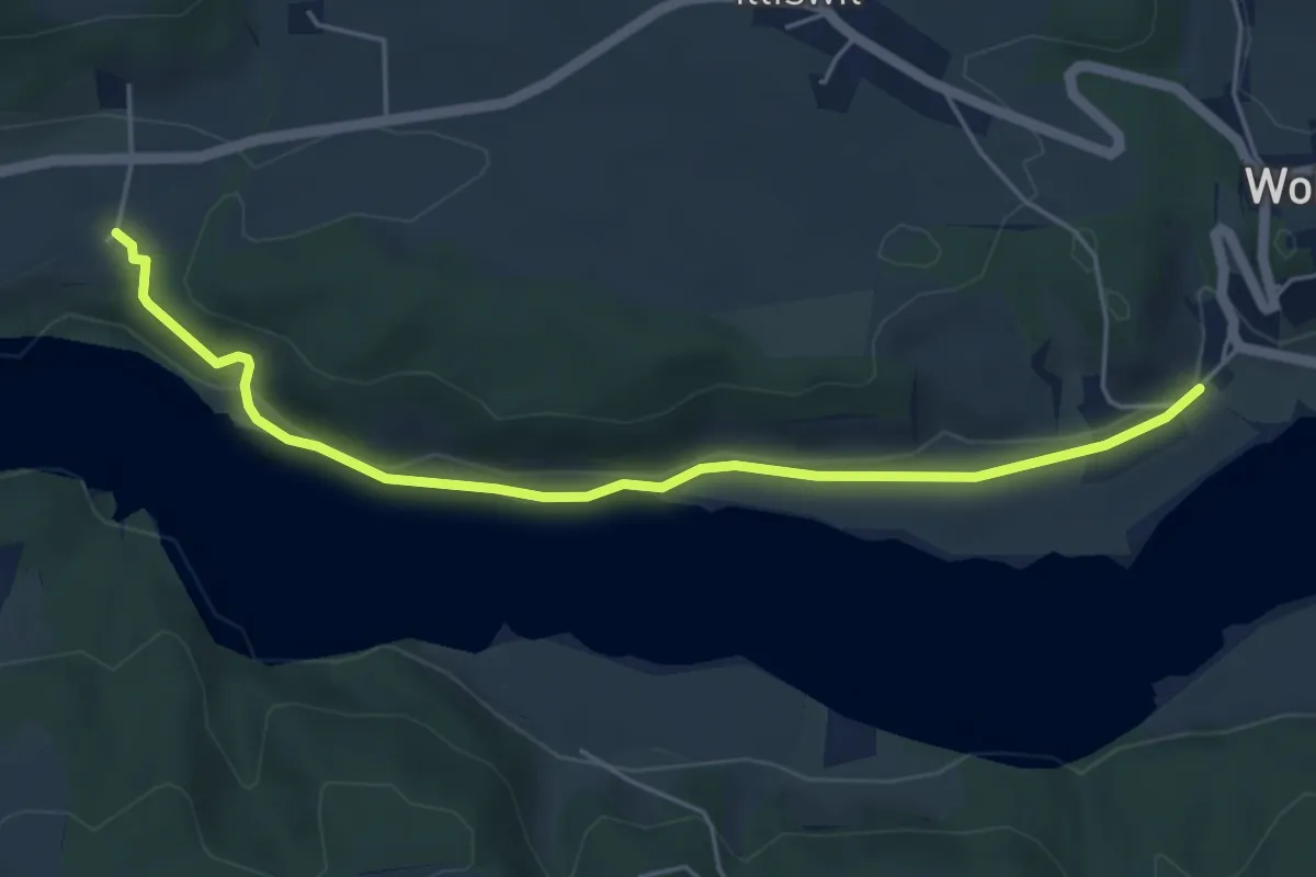
Easy · Trail
Steinisweg - Hofe
5.3 km · ↑ 112 m · 1 h 30 min · 9 km away
Easy · Trail
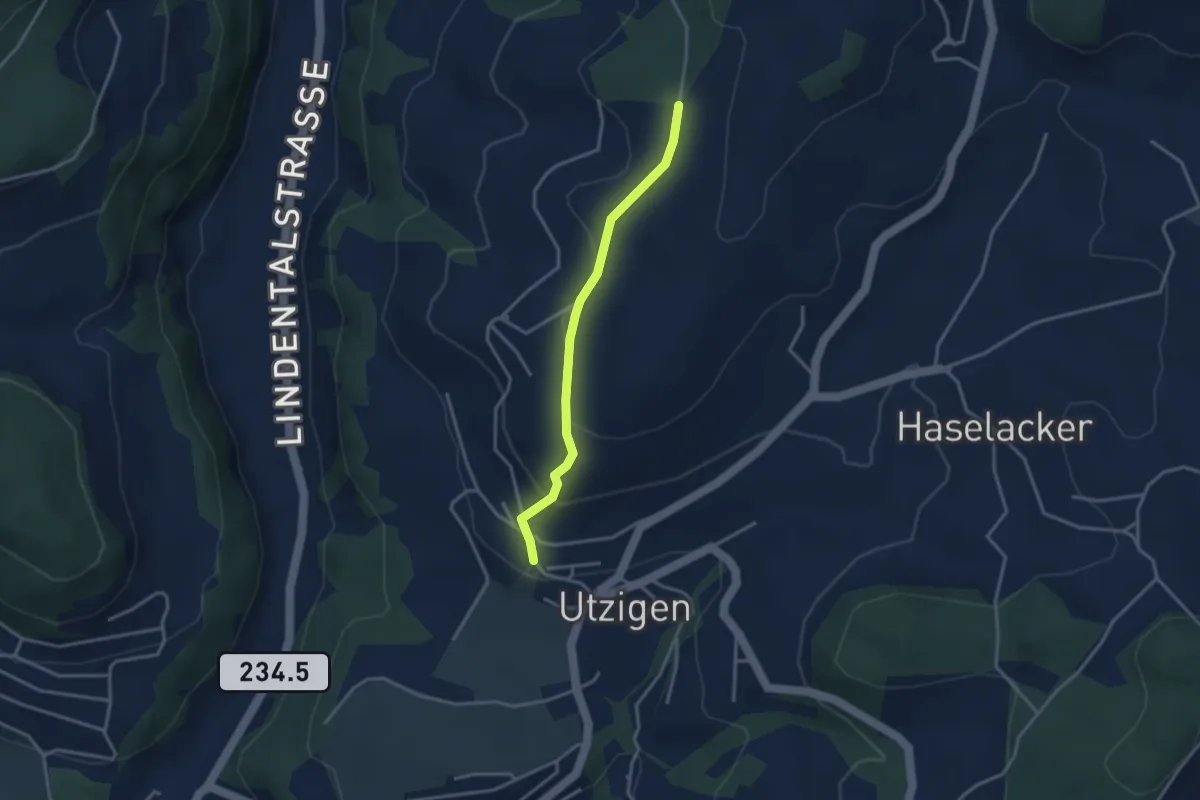
Utzigenwull – Utzigen/Schloss
3.0 km · ↑ 121 m · 58 min · 9 km away
Easy · Trail
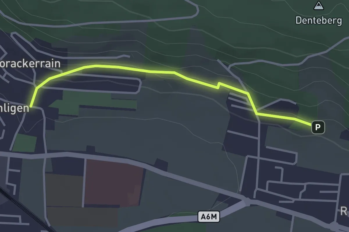
Sunnedörfli – Gümligen/Kirche
3.0 km · ↑ 80 m · 53 min · 9 km away
Easy · Trail
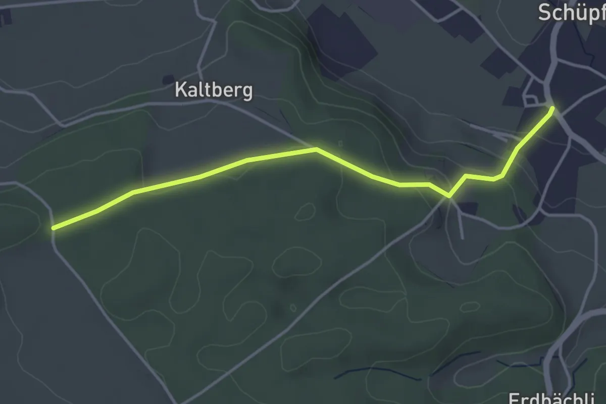
Schüpfen – Chappeliegge
3.8 km · ↑ 131 m · 1 h 11 min · 9 km away
Easy · Trail
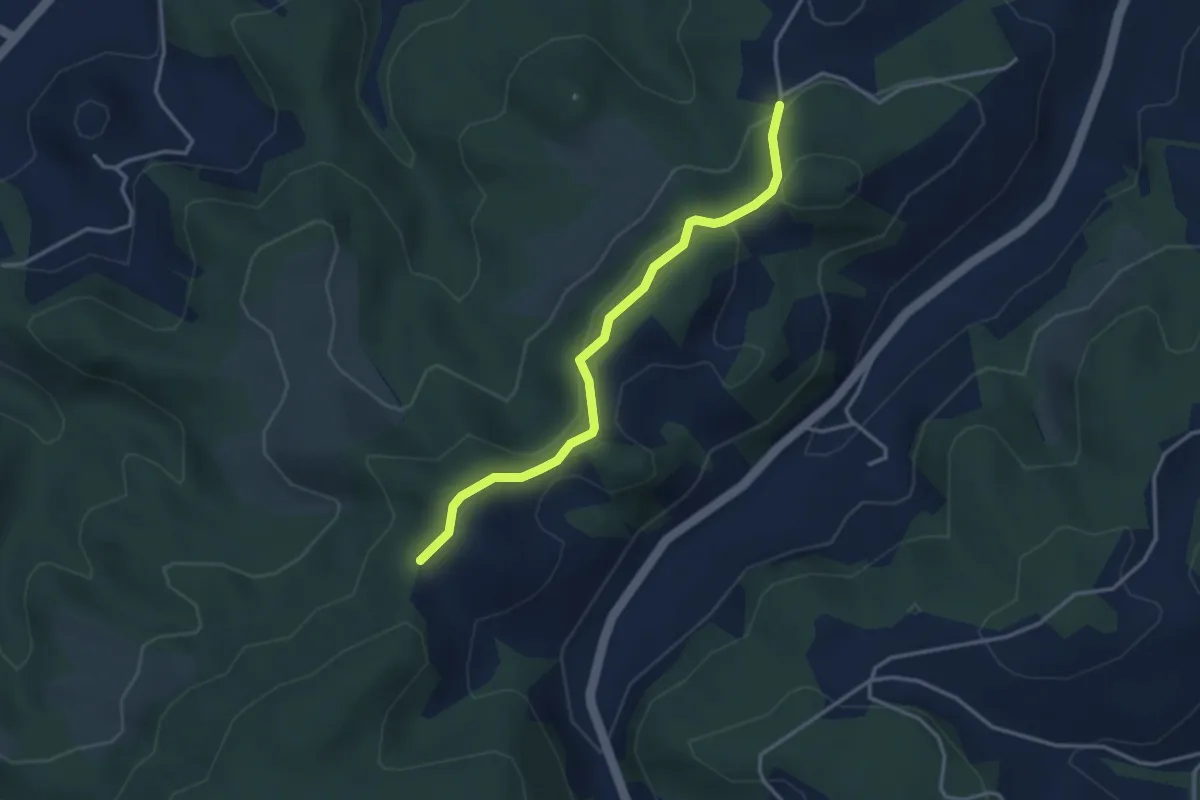
Buechwald – Mueleren
3.3 km · ↑ 139 m · 1 h 5 min · 9 km away
Easy · Trail
Holzmühle – Hindelbank / Station
2.3 km · ↑ 8 m · 34 min · 9 km away
Medium · Trail
Lyssach Station – Hindelbank / Station
8.1 km · ↑ 54 m · 2 h 2 min · 9 km away
Easy · Trail
Hindelbank / Station – Hindelbank / Dorf
2.1 km · ↑ 8 m · 31 min · 9 km away
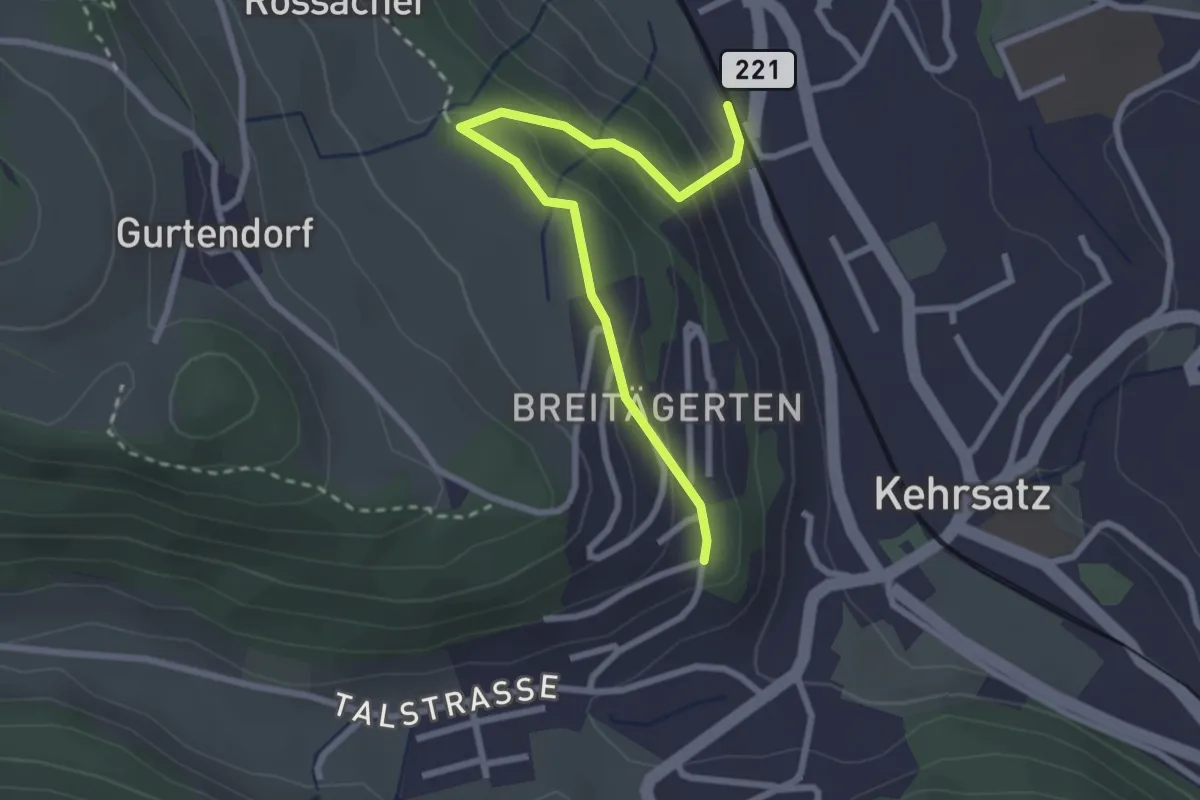
Easy · Trail
Kehrsatz Nord - Breitägerte
2.7 km · ↑ 167 m · 1 h 1 min · 9 km away
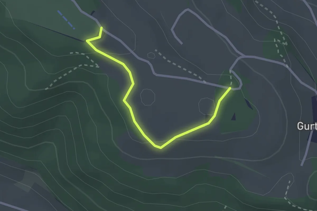
Easy · Summit
Studholz – Gurten/Ostsignal
2.3 km · ↑ 58 m · 39 min · 9 km away
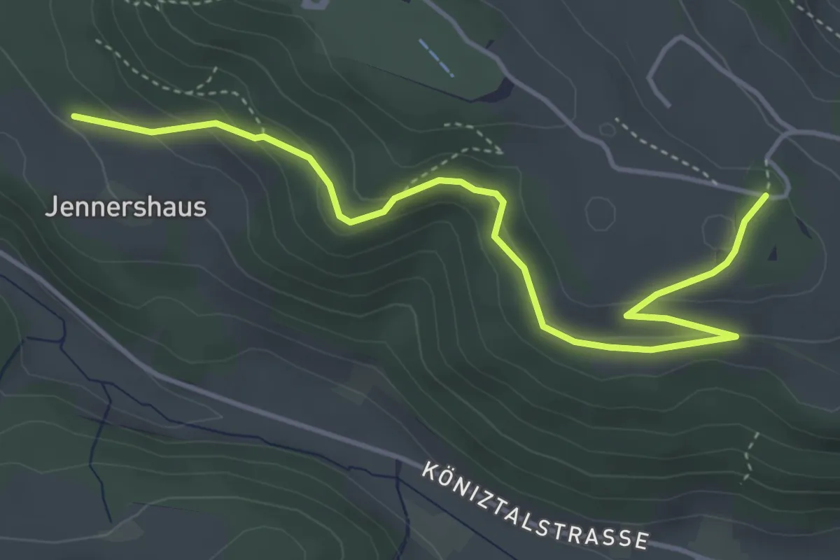
Easy · Trail
Jennershus – Studholz
4.7 km · ↑ 167 m · 1 h 29 min · 9 km away
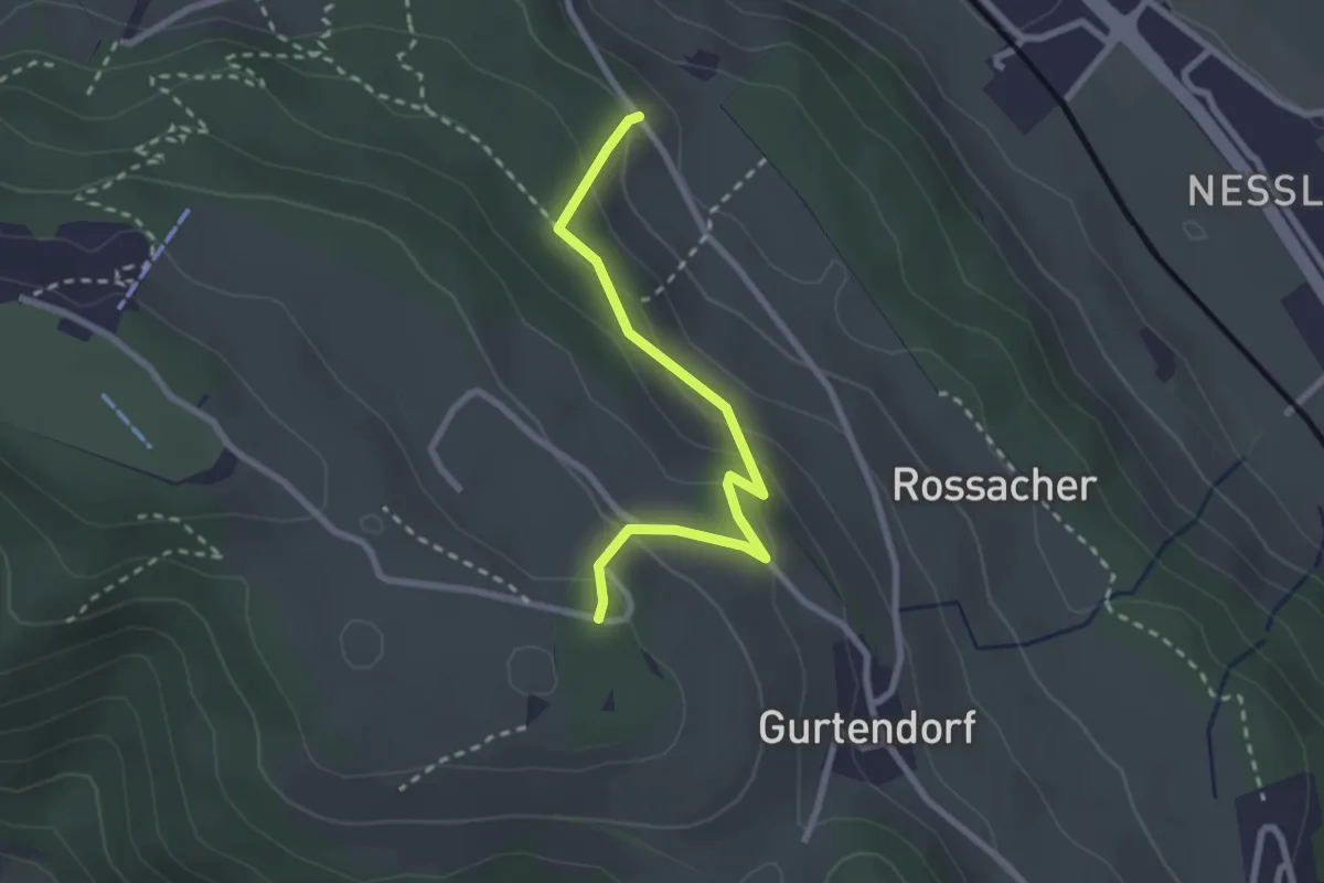
Easy · Trail
Bergweid – Studholz
2.5 km · ↑ 156 m · 56 min · 9 km away
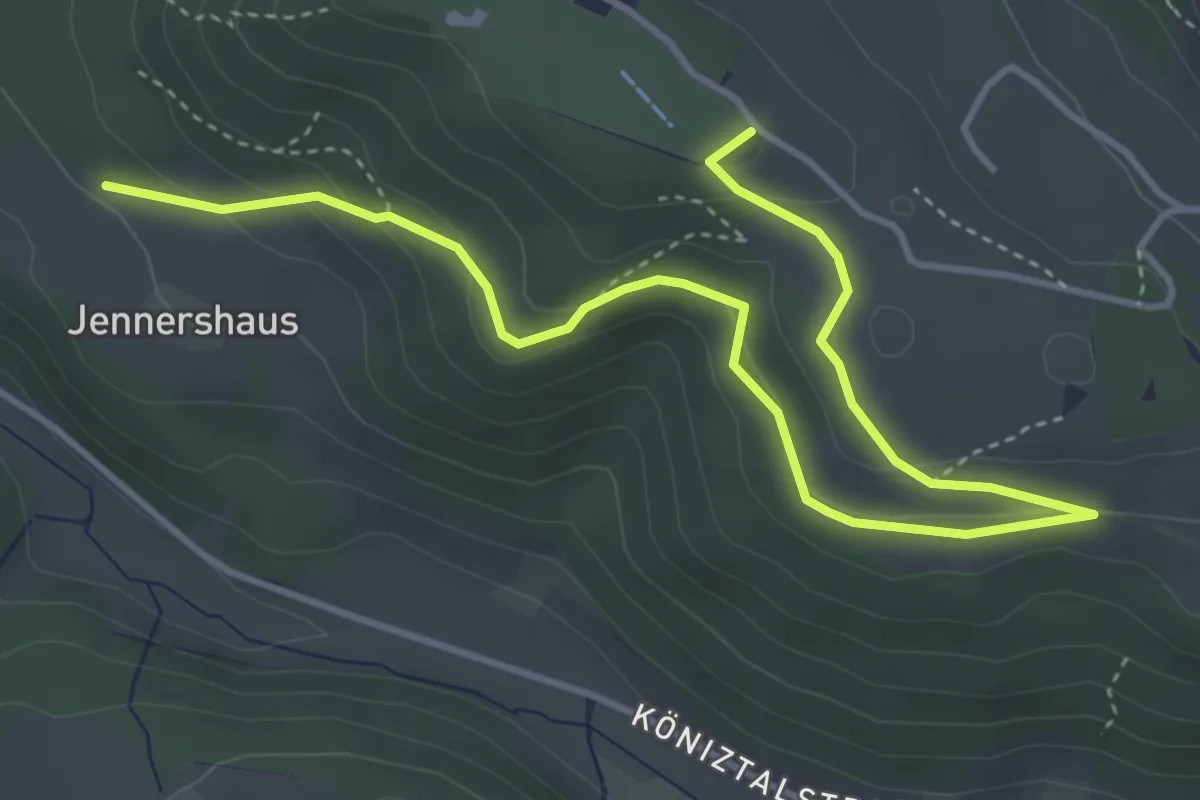
Easy · Summit
Gurten/Ostsignal – Jennershus
5.3 km · ↑ 188 m · 1 h 40 min · 9 km away
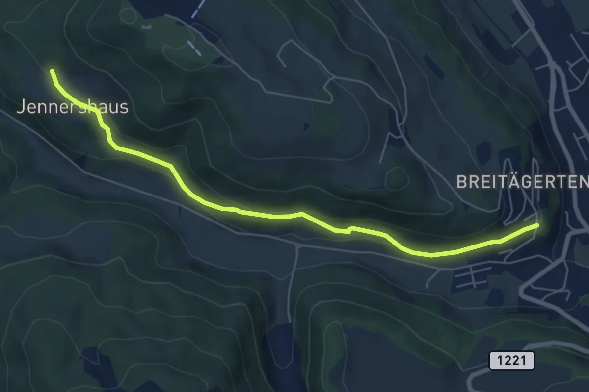
Easy · Trail
Jennershus - Breitägerte
6.0 km · ↑ 206 m · 1 h 52 min · 9 km away
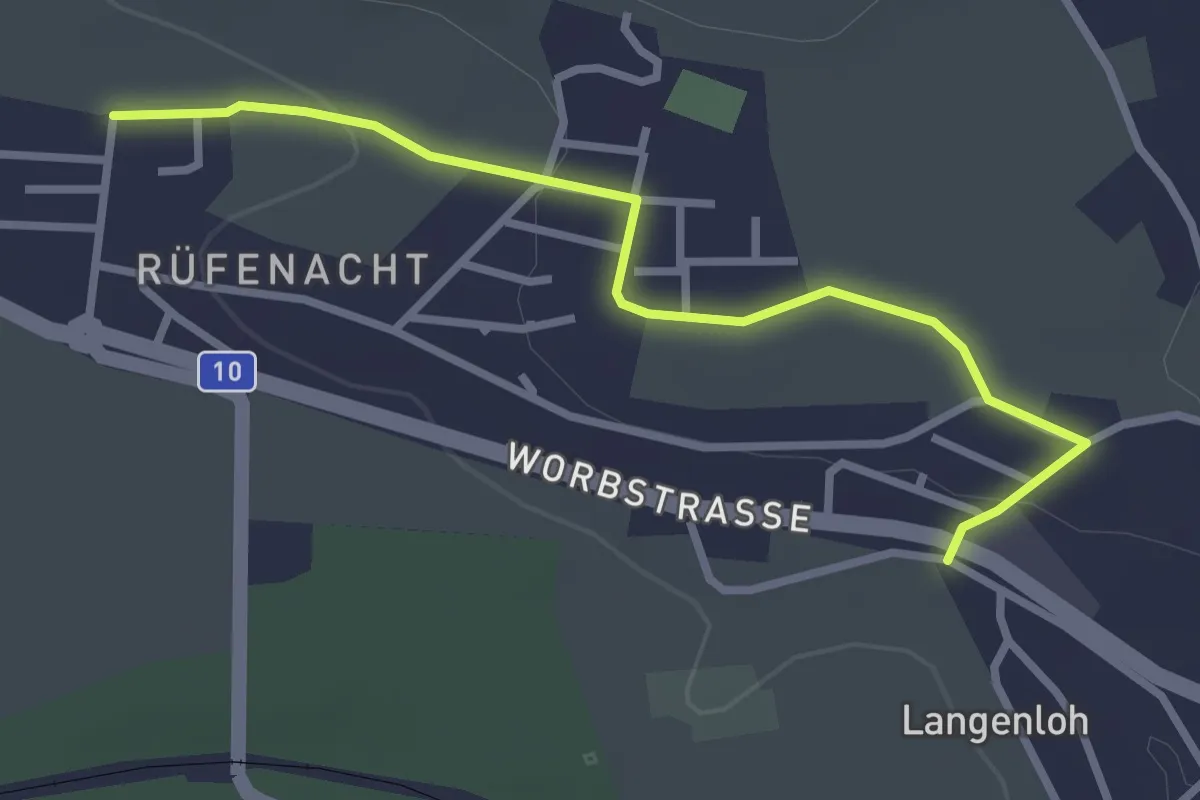
Easy · Trail
Langenloh – Rüfenacht
3.0 km · ↑ 57 m · 50 min · 9 km away
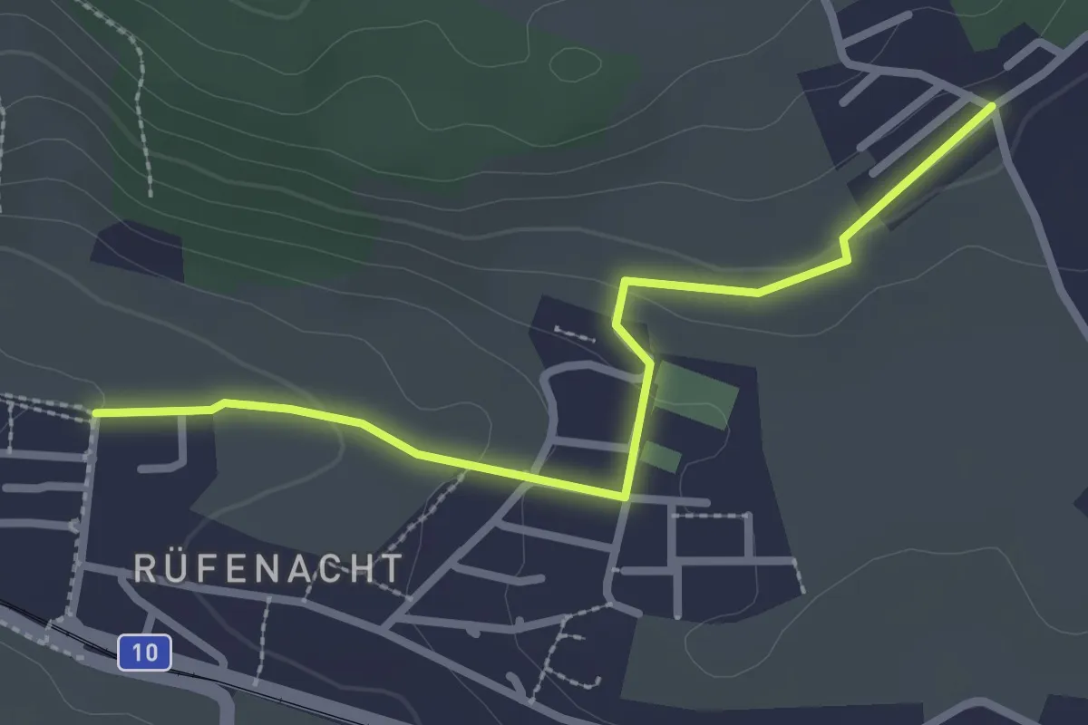
Easy · Trail
Neuhus – Rüfenacht
2.7 km · ↑ 67 m · 46 min · 9 km away
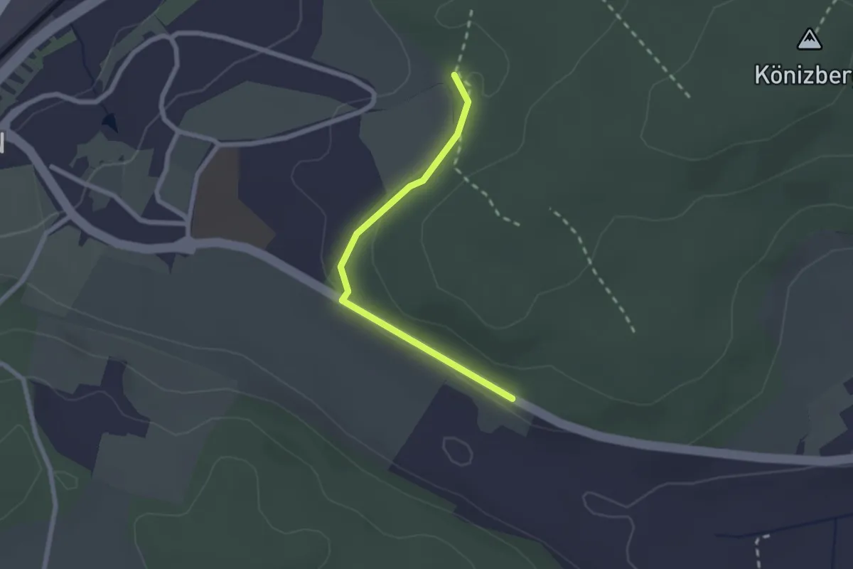
Easy · Trail
Leen - Tubentränke
2.0 km · ↑ 41 m · 34 min · 9 km away
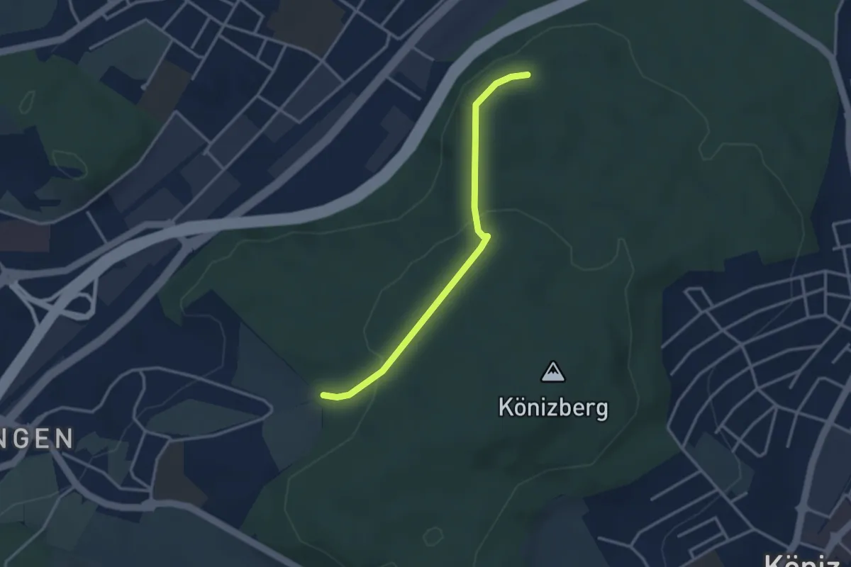
Easy · Trail
Pfaffensteig - Tubentränke
2.9 km · ↑ 88 m · 52 min · 9 km away
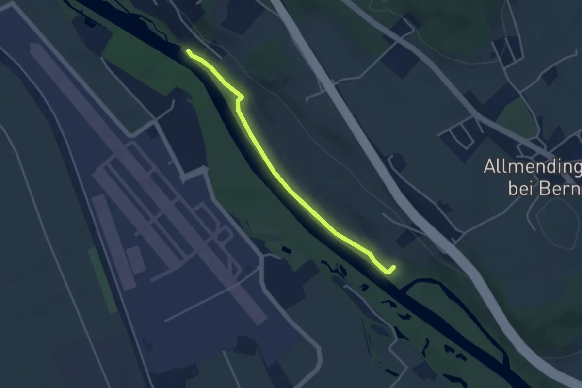
Easy · Trail
Auguetbrügg-Märchligenau
3.2 km · ↑ 35 m · 49 min · 9 km away
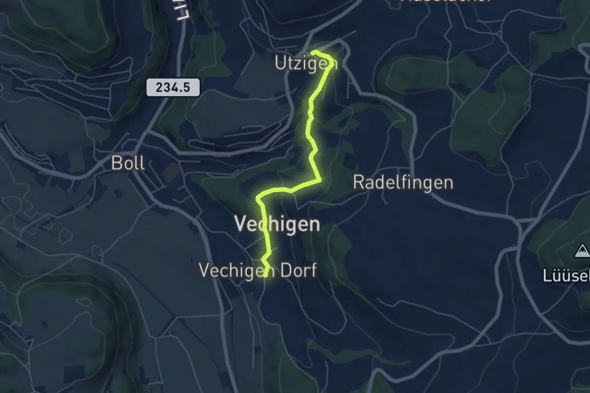
Easy · Trail
Utzigen – Vechigen
4.6 km · ↑ 145 m · 1 h 24 min · 9 km away
Easy · Trail
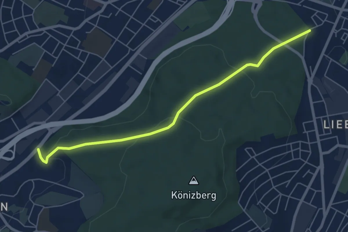
Hohliebe - Fischermätteli
5.5 km · ↑ 169 m · 1 h 39 min · 9 km away
Easy · Trail
Messen Junkholz – Wengi
7.7 km · ↑ 108 m · 2 h 4 min · 9 km away
Easy · Trail
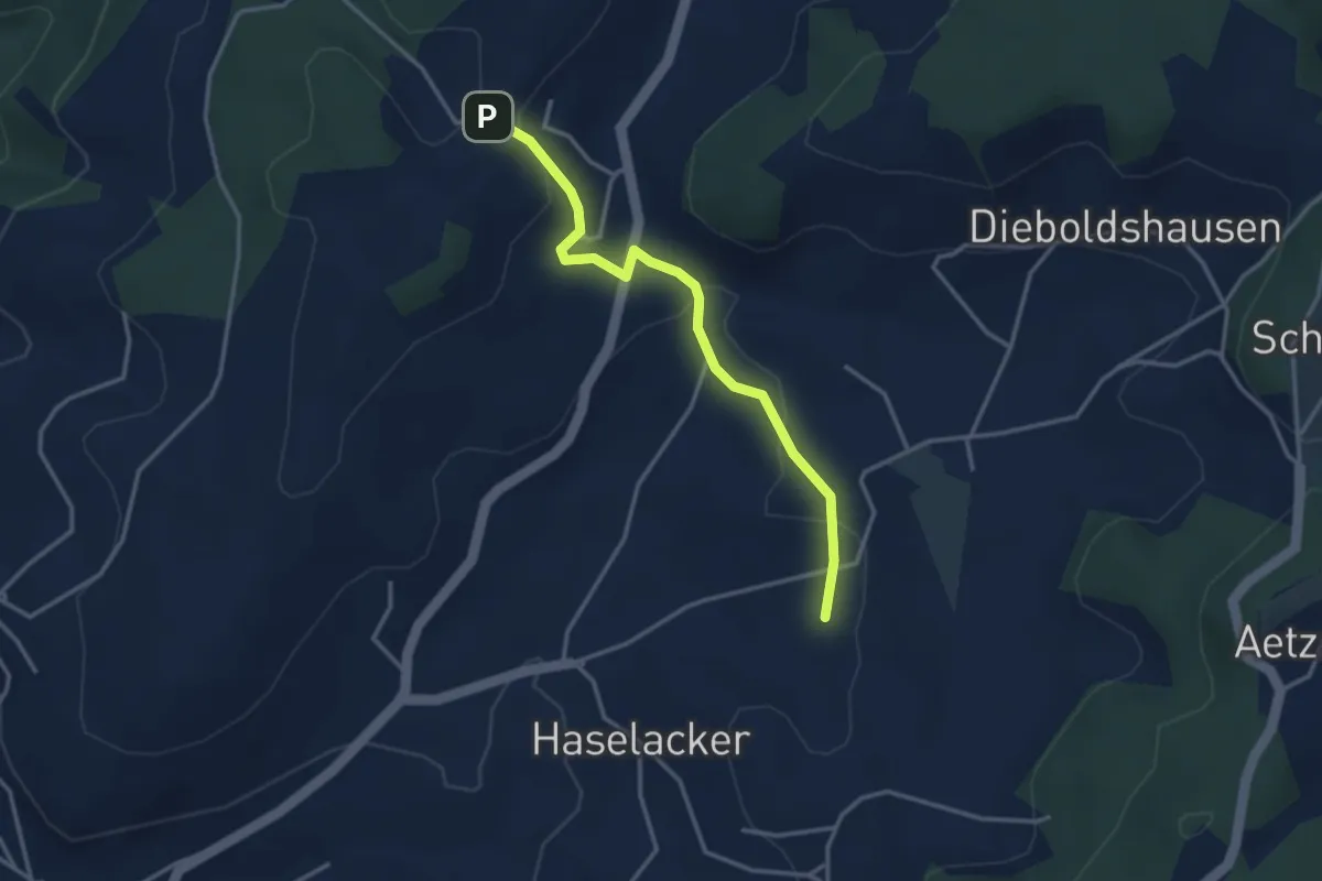
Rötelismatt – Sänggi
3.3 km · ↑ 88 m · 58 min · 9 km away
Easy · Summit
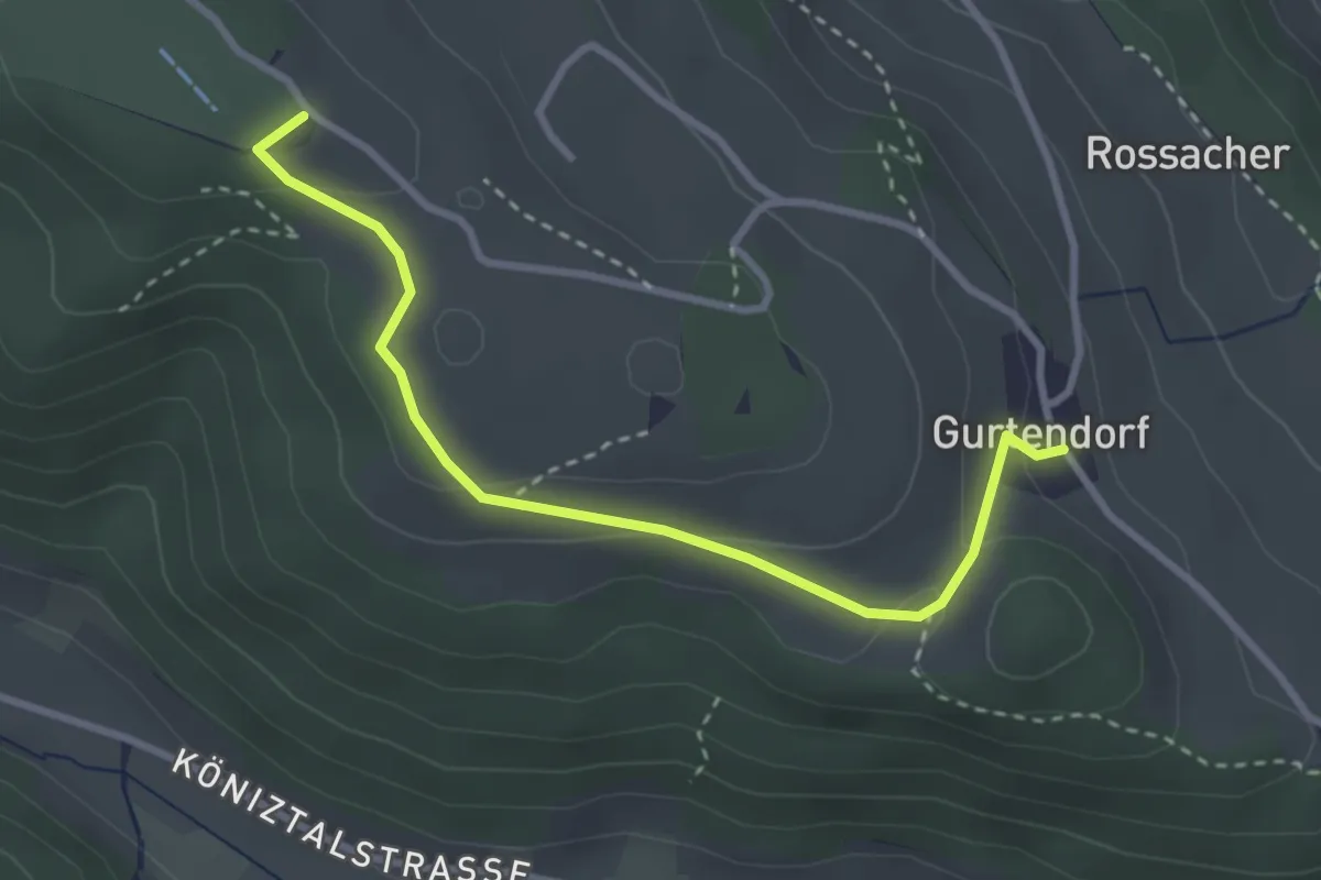
Gurten/Ostsignal – Gurtendorf
3.2 km · ↑ 99 m · 58 min · 9 km away