Trails in Switzerland
15,029 hiking trails, each with its route, climb, walking time and grade.
All trails, page 15 of 314
Medium · Trail
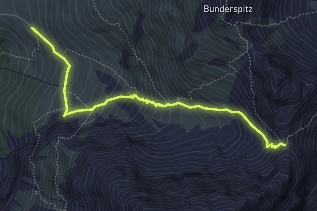
Bonderalp - Bunderchrinde
5.7 km · ↑ 614 m · 2 h 41 min
Medium · Trail
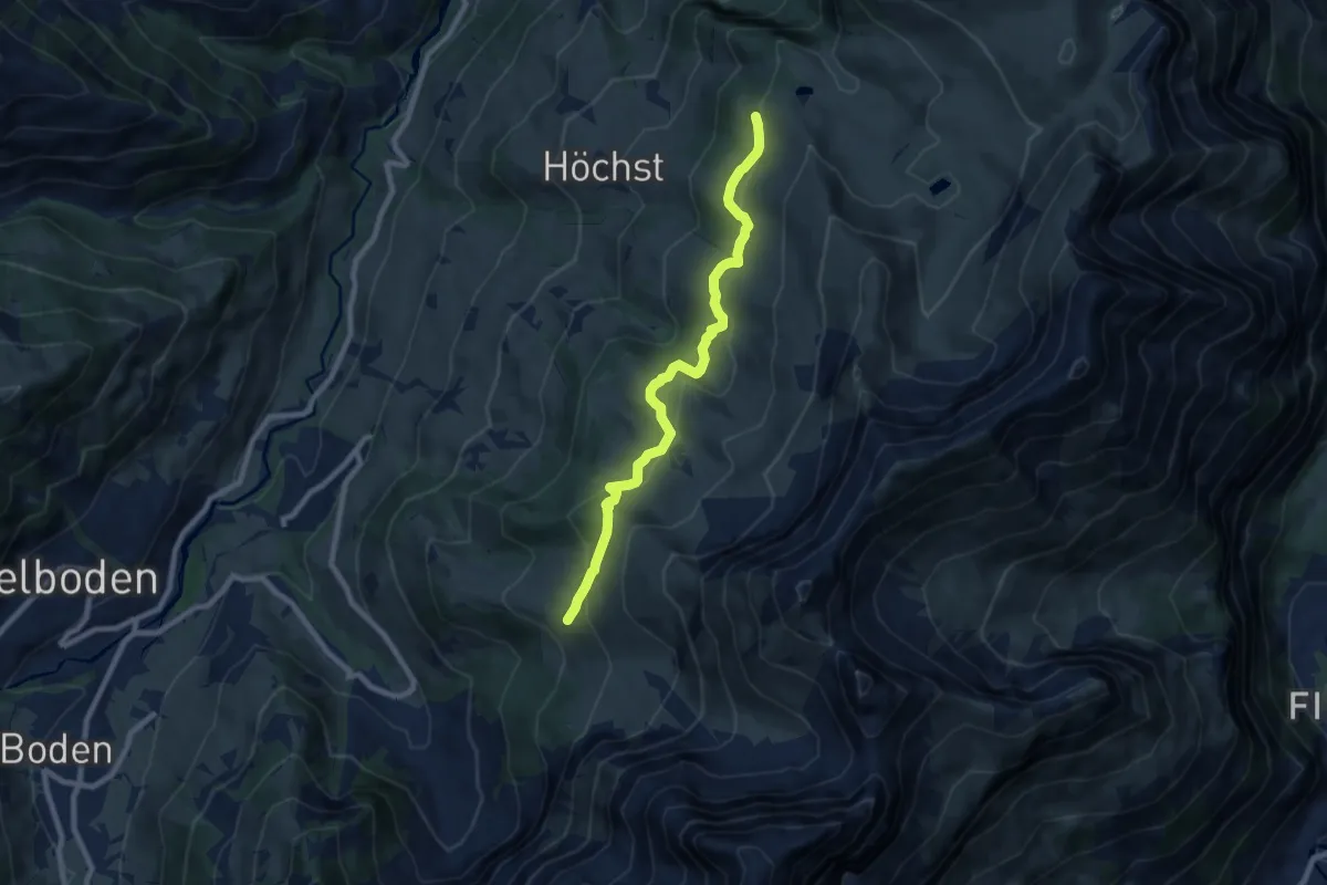
Bonderalp - Elsigensee
8.4 km · ↑ 344 m · 2 h 43 min
Medium · Trail
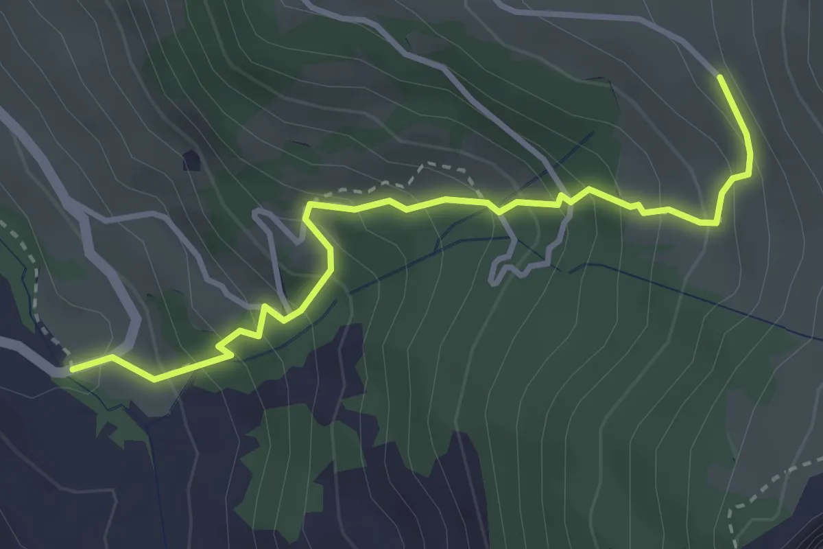
Bonderlen - Bonderalp
3.4 km · ↑ 375 m · 1 h 37 min
Medium · Trail
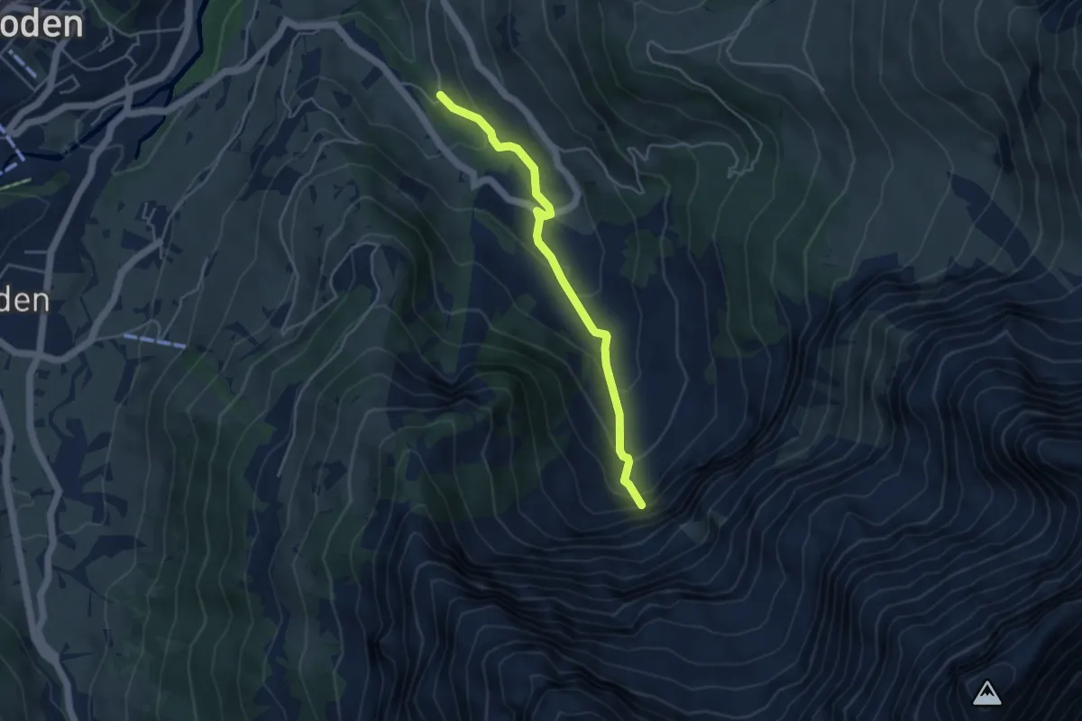
Bonderlen - Lohnerfälle
4.1 km · ↑ 270 m · 1 h 33 min
Medium · Trail
Bonfol-Damphreux
10.0 km · ↑ 102 m · 2 h 36 min
Medium · Trail
Boningen - Fulenbach
11.1 km · ↑ 109 m · 2 h 52 min
Easy · Trail
Boniswil - Dürrenäsch
5.9 km · ↑ 120 m · 1 h 40 min
Easy · Trail
Boniswil - Schloss Hallwil
4.1 km · ↑ 45 m · 1 h 4 min
Easy · Trail
Boppelsen - Eggetsacher
3.3 km · ↑ 202 m · 1 h 13 min
Medium · Summit
Boppelsen - Greppe
8.5 km · ↑ 202 m · 2 h 27 min
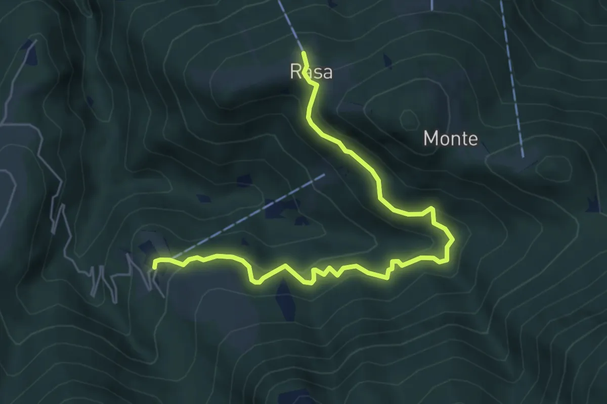
Medium · Trail
Bordei - Rasa
6.0 km · ↑ 440 m · 2 h 23 min
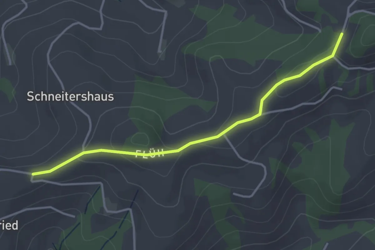
Easy · Trail
Borisried/Schulhaus - Tschuggen
3.5 km · ↑ 88 m · 1 h
Medium · Trail
Bornes et Forts du Pays de Montbélierd
11.5 km · ↑ 451 m · 3 h 45 min
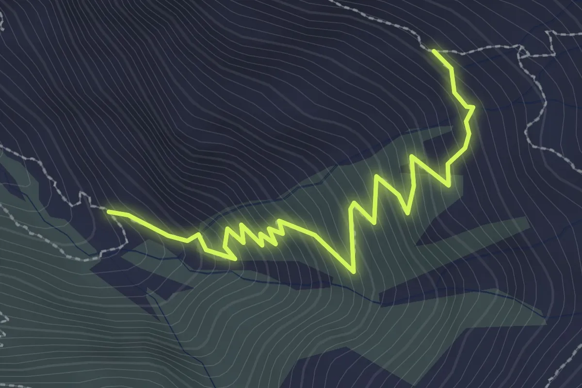
Medium · Trail
Bortelalp - Färrich
3.0 km · ↑ 350 m · 1 h 28 min
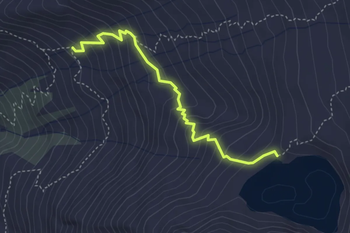
Medium · Cabin
Bortlehütten - Bortelsee
3.6 km · ↑ 336 m · 1 h 35 min
Easy · Trail
Böschenrot - Hinter Chiemen
2.2 km · ↑ 62 m · 40 min
Easy · Trail
Böschenwald - Lafadarsch / Hotel Alvier
2.5 km · ↑ 168 m · 57 min
Medium · Trail
Böschenwald - Matug / Vild
5.5 km · ↑ 437 m · 2 h 15 min
Easy · Trail
Böschirain - St. Jost
2.0 km · ↑ 91 m · 40 min
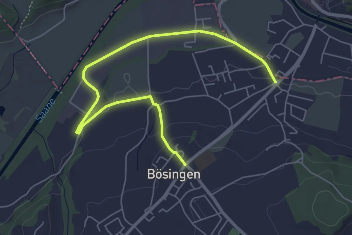
Easy · Trail
Bösingen - Auriedsteg
6.0 km · ↑ 80 m · 1 h 36 min
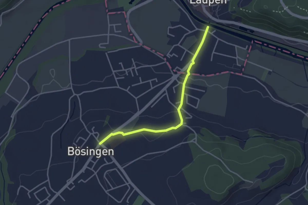
Easy · Trail
Bösingen - Laupen
3.1 km · ↑ 59 m · 51 min
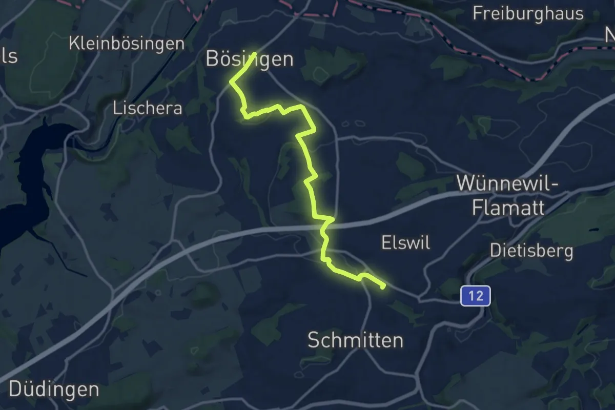
Medium · Trail
Bösingen - Schmitten Station
12.0 km · ↑ 208 m · 3 h 17 min
Easy · Trail
Bossenhus - Leibstadt Postauto
6.7 km · ↑ 304 m · 2 h 14 min
Easy · Trail
Bossenhus - Sibenwegen
2.2 km · ↑ 47 m · 37 min
Easy · Trail
Bossenhus - Wandflue
2.3 km · ↑ 42 m · 38 min
Medium · Trail
Boswil - Brandholz
11.8 km · ↑ 304 m · 3 h 26 min
Easy · Trail
Botanischer Garten - Hasel
4.1 km · ↑ 68 m · 1 h 7 min
Easy · Trail
Botanischer Garten - Lutikon
5.9 km · ↑ 67 m · 1 h 32 min
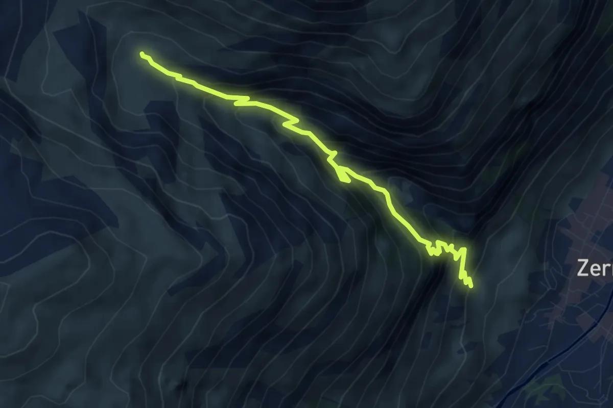
Medium · Cabin
Botanischer Lehrpfad
5.5 km · ↑ 608 m · 2 h 37 min
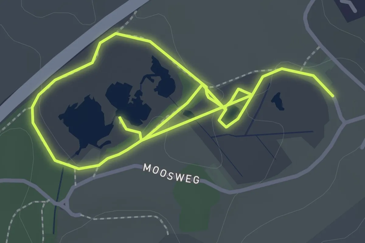
Easy · Trail
Botanischer Pfad
2.0 km · ↑ 13 m · 32 min
Easy · Trail
Bottenwil - Breiten
3.3 km · ↑ 78 m · 57 min
Easy · Trail
Bottenwil - Rottannhubel
4.1 km · ↑ 183 m · 1 h 21 min
Easy · Trail
Böttstein - fixme
7.5 km · ↑ 50 m · 1 h 53 min
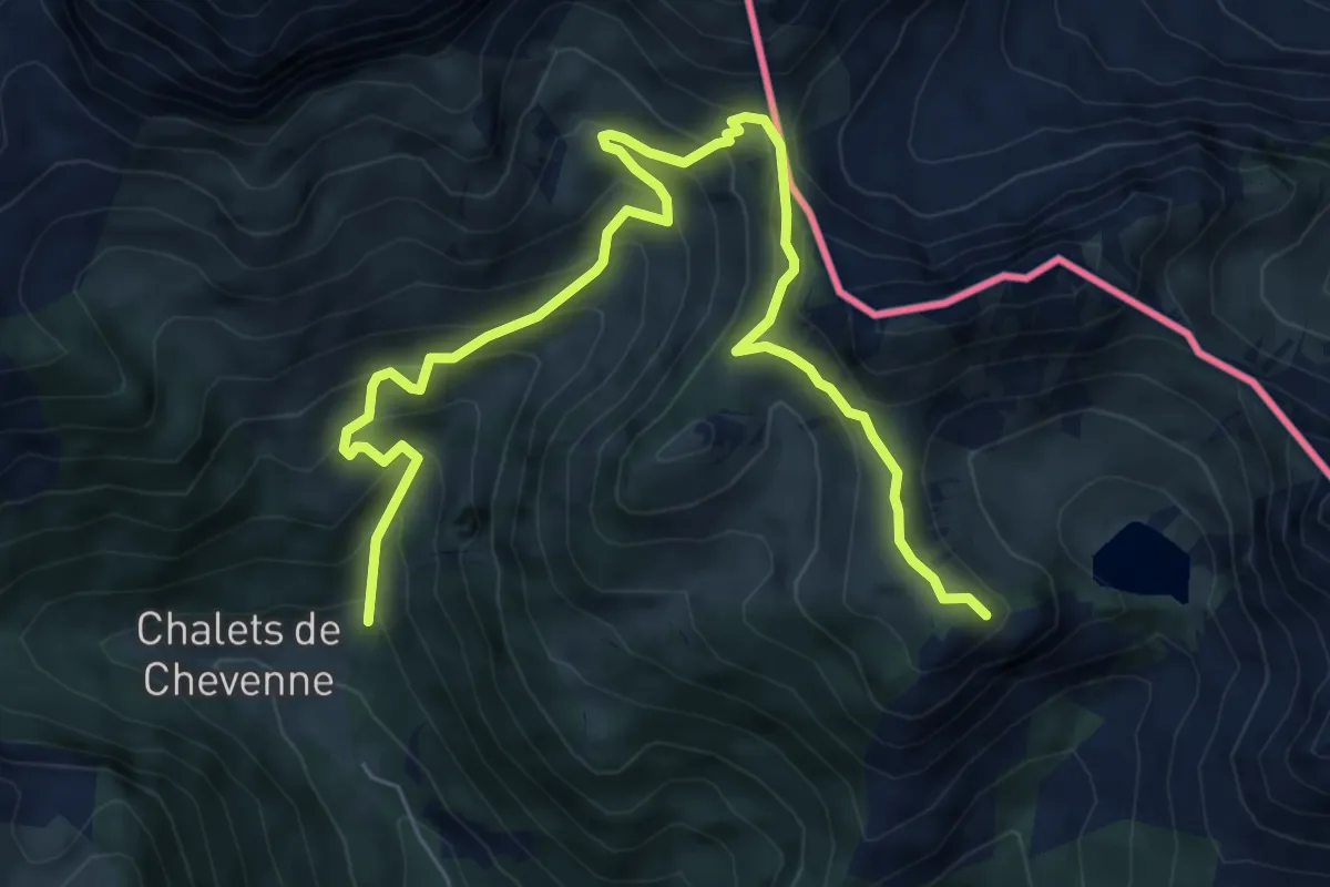
Demanding · Summit
Boucle des Thoules au lac d'Arvouin
8.2 km · ↑ 702 m · 3 h 27 min
Easy · Trail
Boucle des Trois Vallées
3.7 km · ↑ 83 m · 1 h 8 min
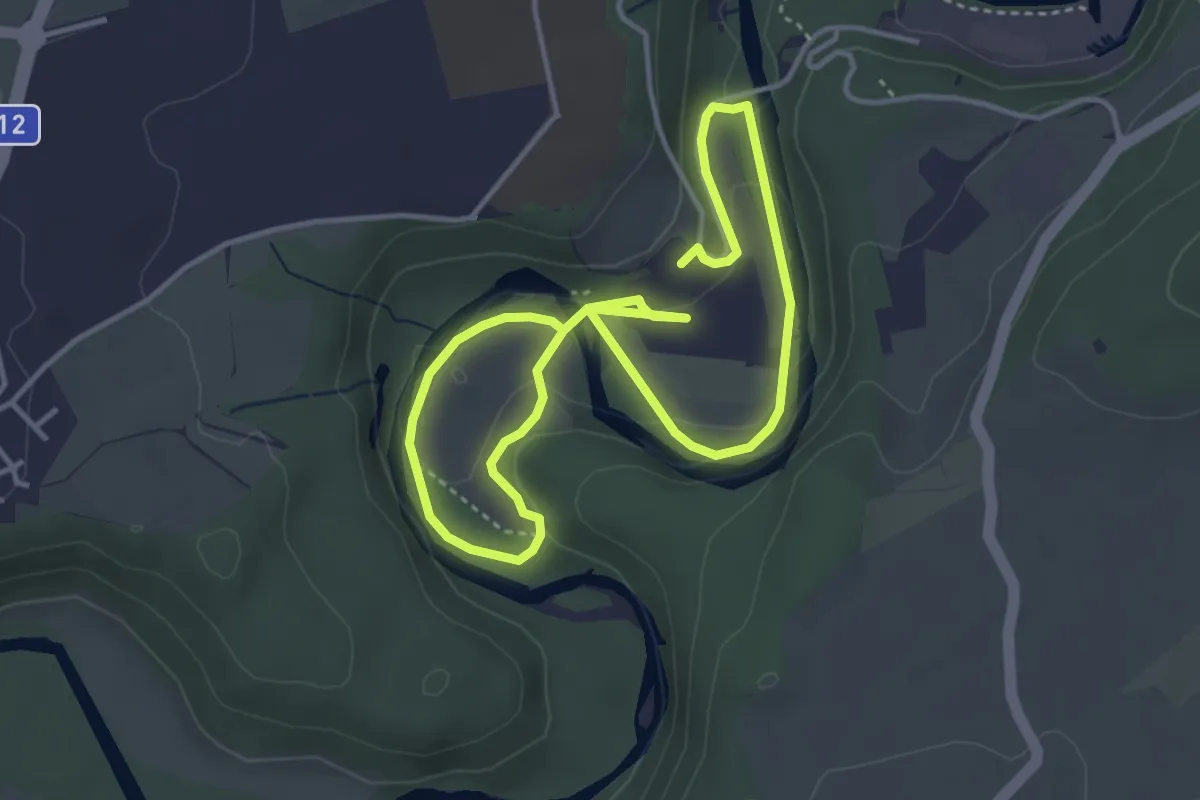
Easy · Trail
Boucle Hauterive-La Souche / Les découvertes de Saribelle
3.2 km · ↑ 59 m · 57 min
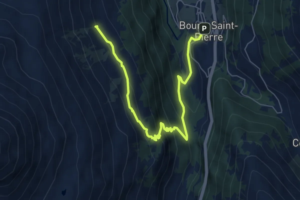
Medium · Trail
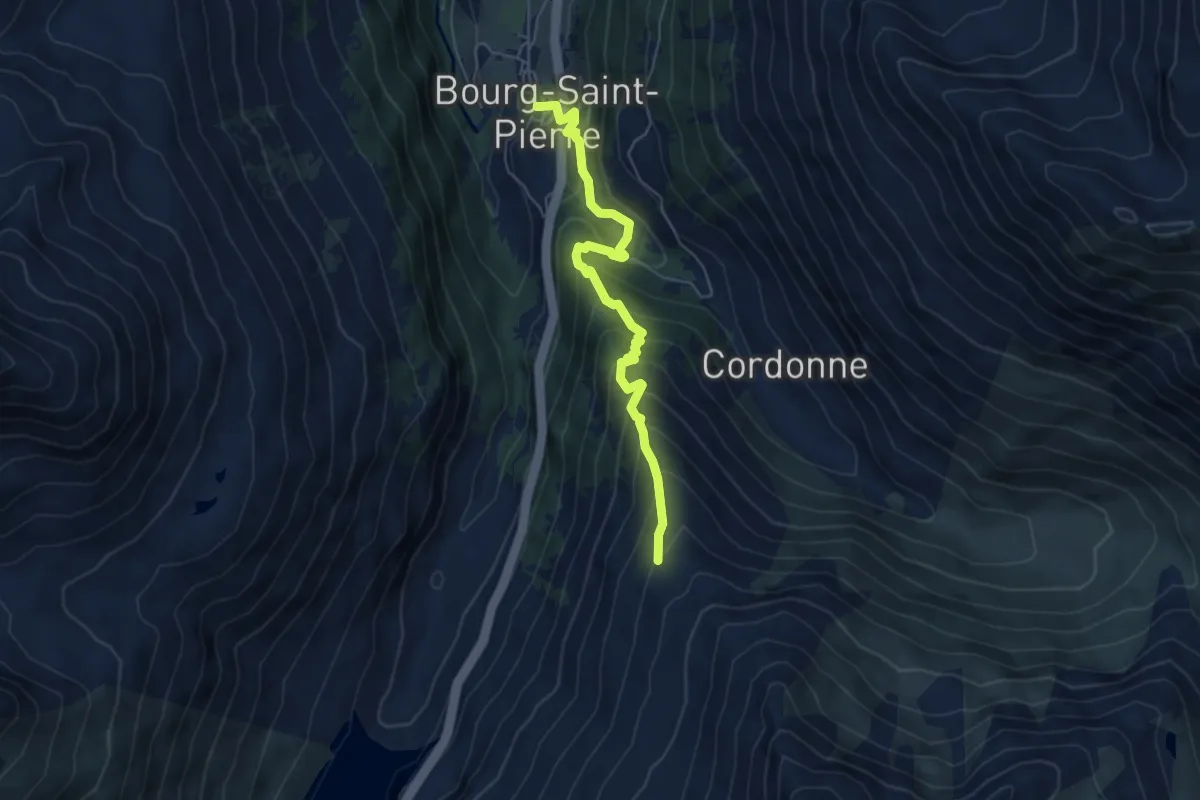
Bourg-Saint-Pierre > Les Arpalles
6.5 km · ↑ 413 m · 2 h 26 min
Medium · Trail
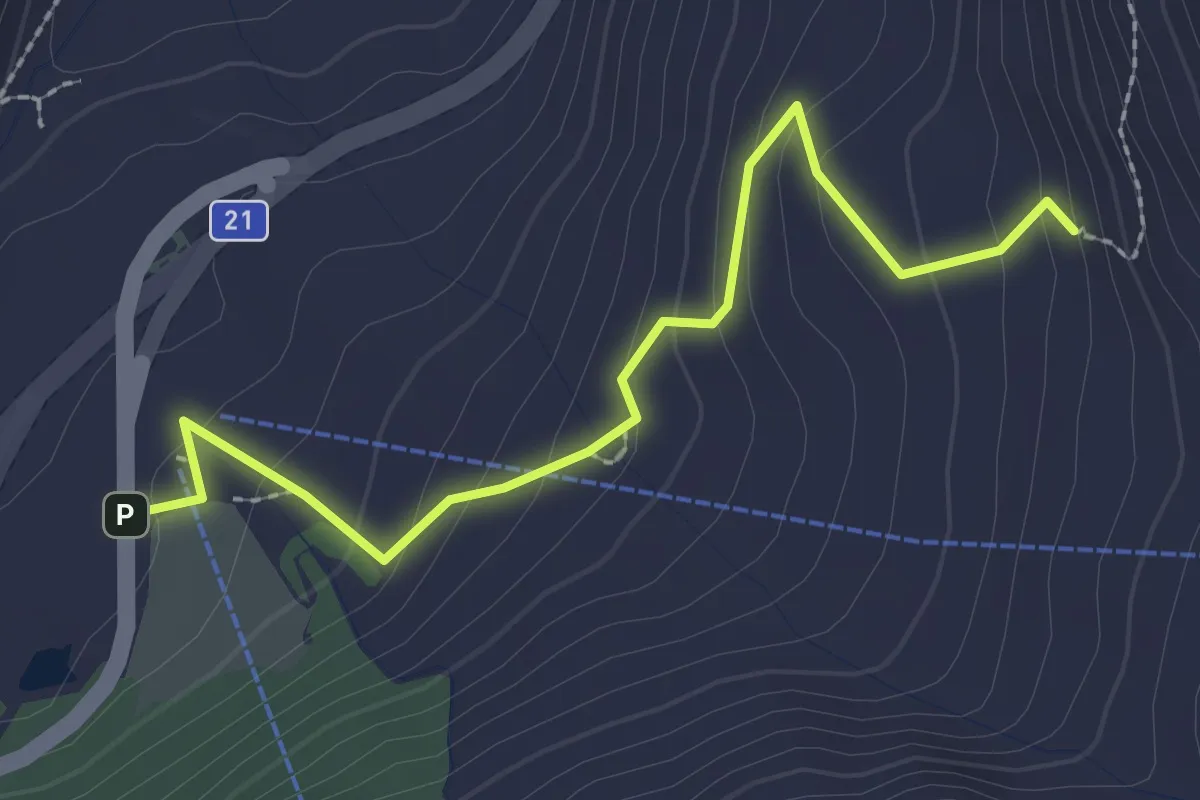
Bourg-Saint-Pierre > Tsalevey
5.6 km · ↑ 514 m · 2 h 26 min
Easy · Cabin
Bourg-St-Bernard > Plan du Jeu
2.6 km · ↑ 159 m · 58 min
Easy · Trail
Bourrignon - (fixme)
3.9 km · ↑ 175 m · 1 h 17 min
Medium · Summit
Bourrignon - Lucelle Douane
8.6 km · ↑ 357 m · 2 h 48 min
Medium · Trail
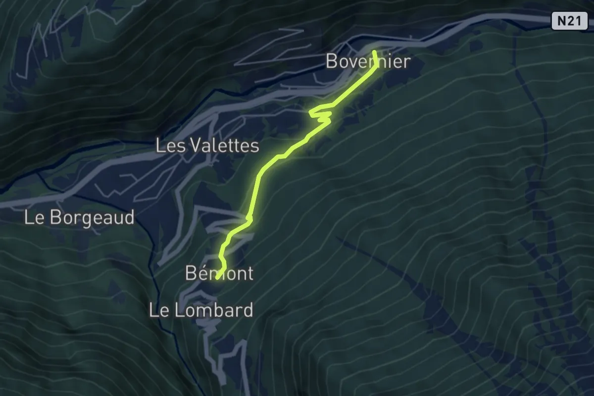
Bovernier - Village > Bémont
4.0 km · ↑ 233 m · 1 h 27 min
Demanding · Trail
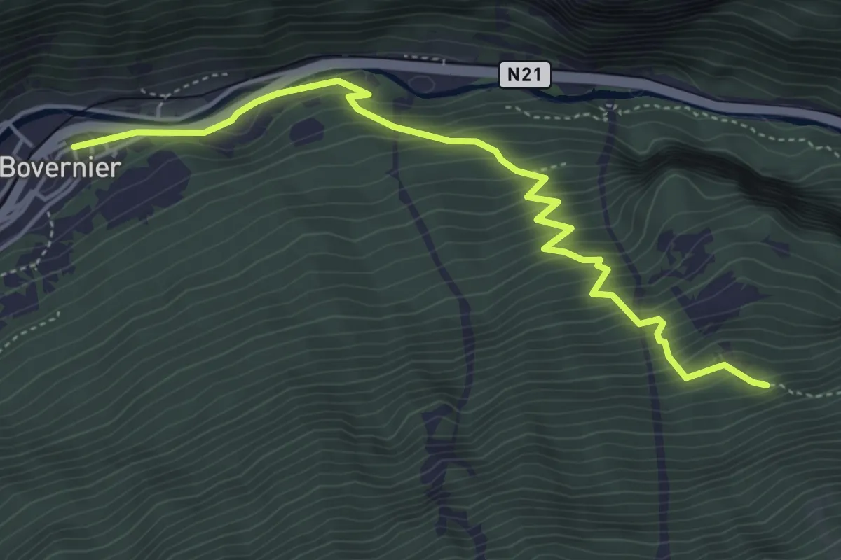
Bovernier - Village > Catogne - Alpage ?
5.1 km · ↑ 534 m · 2 h 22 min
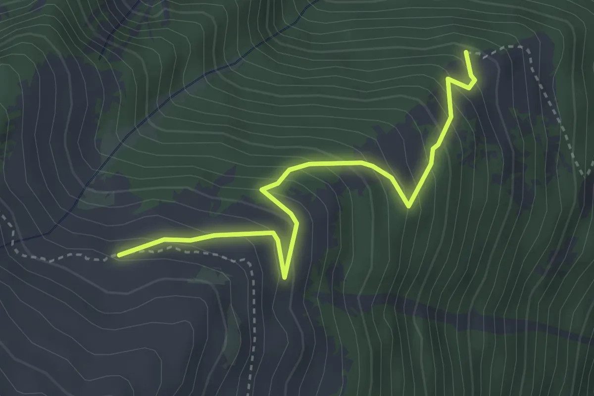
Medium · Trail
Bovinette > Bovine
3.6 km · ↑ 383 m · 1 h 41 min
Easy · Trail
Bözberg Neustalden - Alt Stalden
2.1 km · ↑ 38 m · 35 min
Easy · Trail
Brachacher - fixme
2.1 km · ↑ 55 m · 38 min
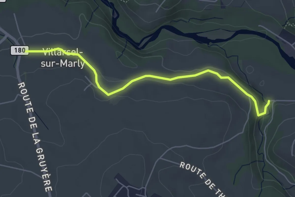
Easy · Trail
Brädelen, Nesslerabach - Villarsel-sur-Marly
4.9 km · ↑ 110 m · 1 h 24 min
Easy · Trail
Bräggerhof - Autis
5.4 km · ↑ 283 m · 1 h 53 min