Trails in Switzerland
15,029 hiking trails, each with its route, climb, walking time and grade.
All trails, page 3 of 314
Easy · Summit
Allenwinden - Silberbüel
1.9 km · ↑ 101 m · 39 min
Easy · Trail
Allenwinden - Unter Brunegg
4.3 km · ↑ 147 m · 1 h 21 min
Easy · Trail
Allenwinden - Wildenburg
2.4 km · ↑ 50 m · 41 min
Medium · Summit
Allerheiligenberg - Wüesthöchi
2.0 km · ↑ 167 m · 50 min
Easy · Trail
Allerheiligenberg - Wuestweg
2.6 km · ↑ 104 m · 50 min
Medium · Trail
Allerheiligenrank - Allerheiligenberg
2.7 km · ↑ 159 m · 59 min
Easy · Trail
Allmend - Bärenwil
2.3 km · ↑ 124 m · 48 min
Easy · Trail
Allmend - Mattenhof
2.7 km · ↑ 17 m · 41 min
Easy · Trail
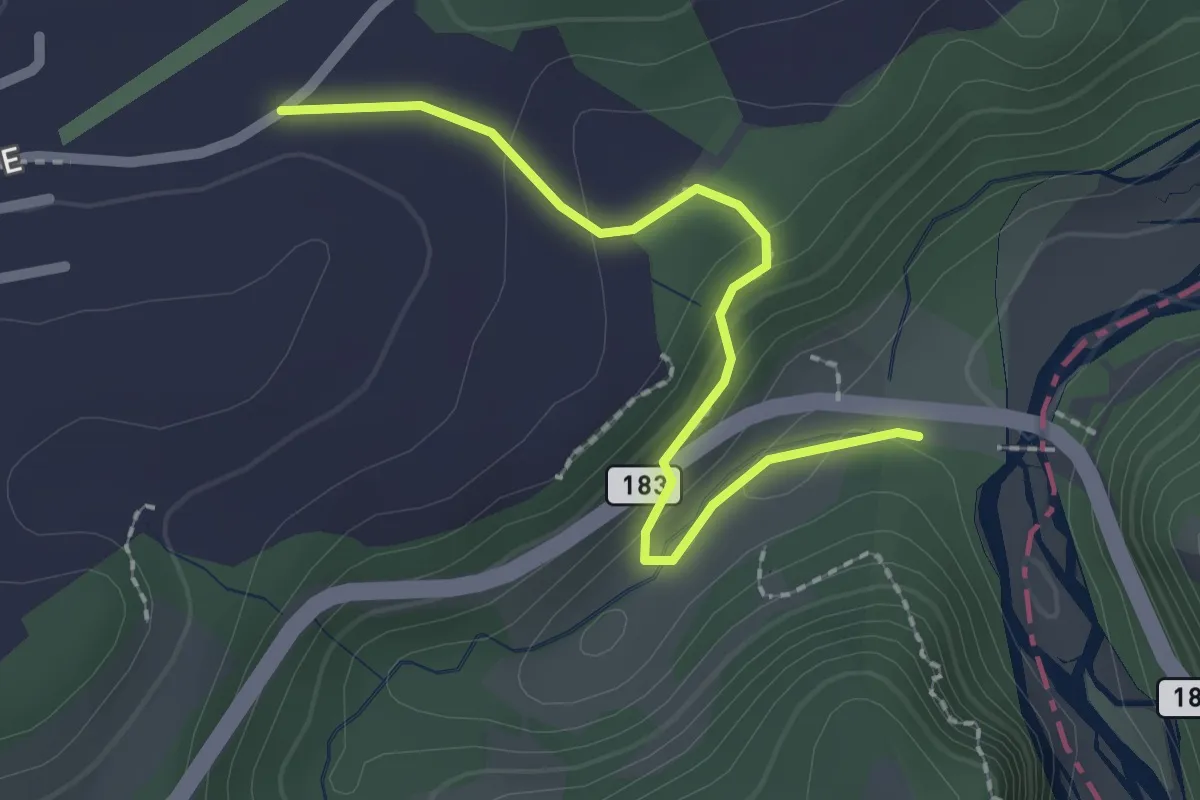
Allmend - Sodbachbrücke
2.2 km · ↑ 88 m · 42 min
Medium · Summit
Allmen - Girenbad
5.9 km · ↑ 362 m · 2 h 11 min
Medium · Trail
Allment - Sonnhalde
10.4 km · ↑ 115 m · 2 h 43 min
Demanding · Summit
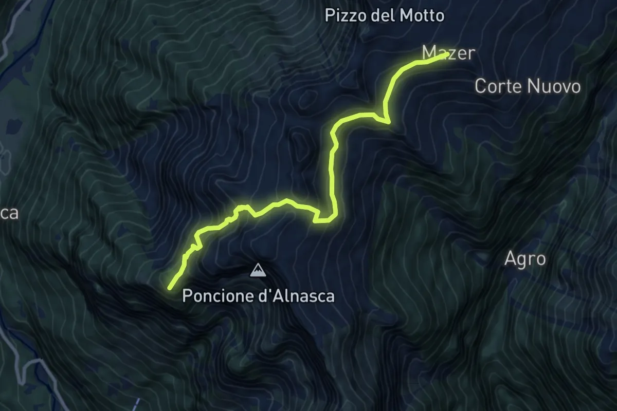
Alnasca - ?
8.3 km · ↑ 853 m · 3 h 49 min
Easy · Trail
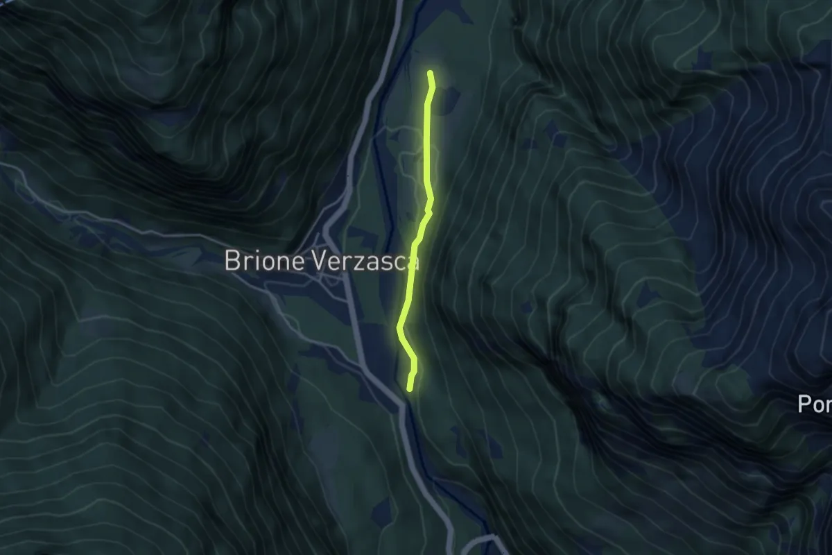
Alnasca - Bivio Piee
2.9 km · ↑ 80 m · 51 min
Easy · Trail
Alosen - Oberägeri
6.3 km · ↑ 175 m · 1 h 53 min
Easy · Trail
Alosen - Oberhaltenbüel
3.5 km · ↑ 52 m · 57 min
Easy · Trail
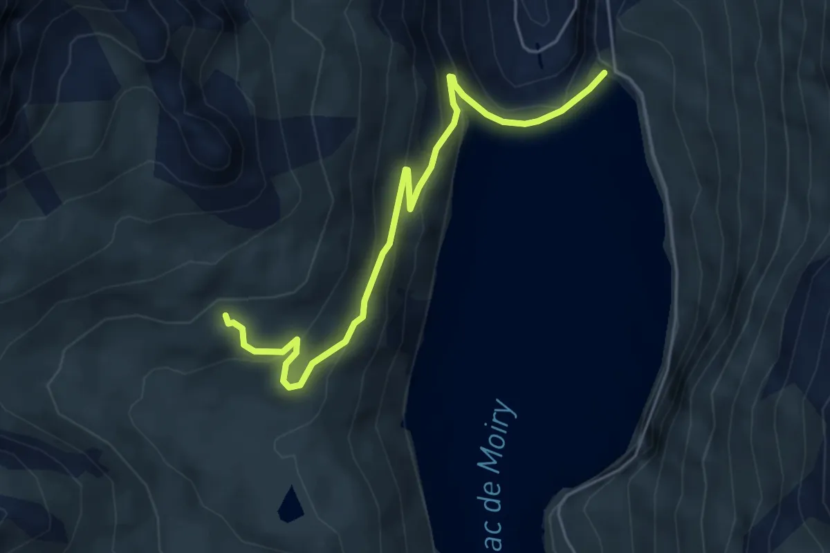
Alpage de Torrent-Barrage de Moiry
5.2 km · ↑ 295 m · 1 h 52 min
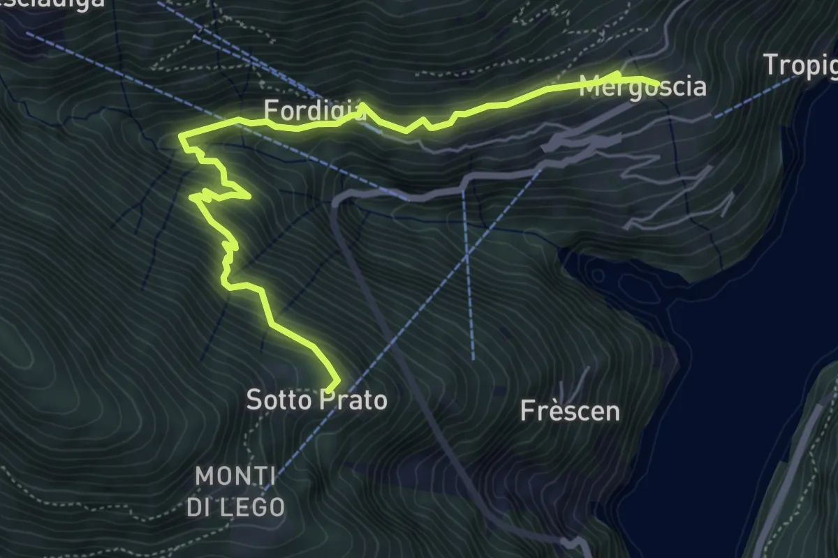
Medium · Trail
Al Passo - Mergoiscia
6.3 km · ↑ 543 m · 2 h 39 min
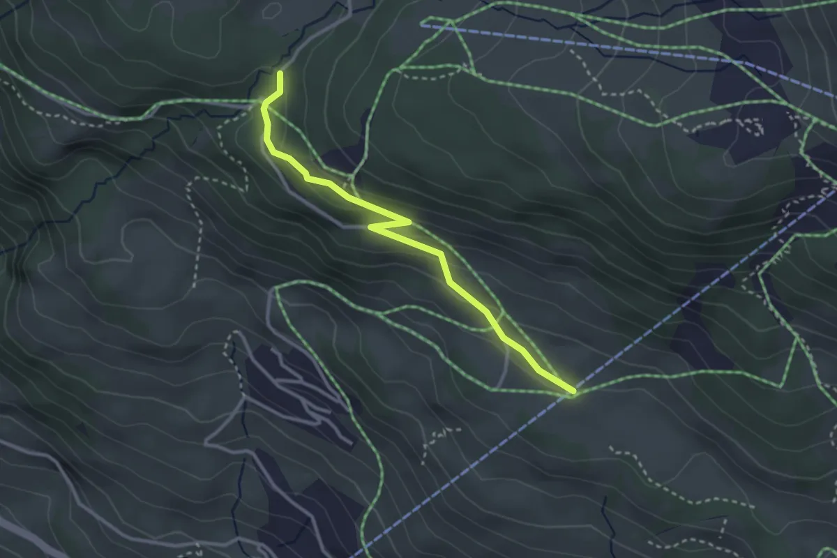
Medium · Trail
Alpbrücke - Lischen
3.0 km · ↑ 124 m · 59 min
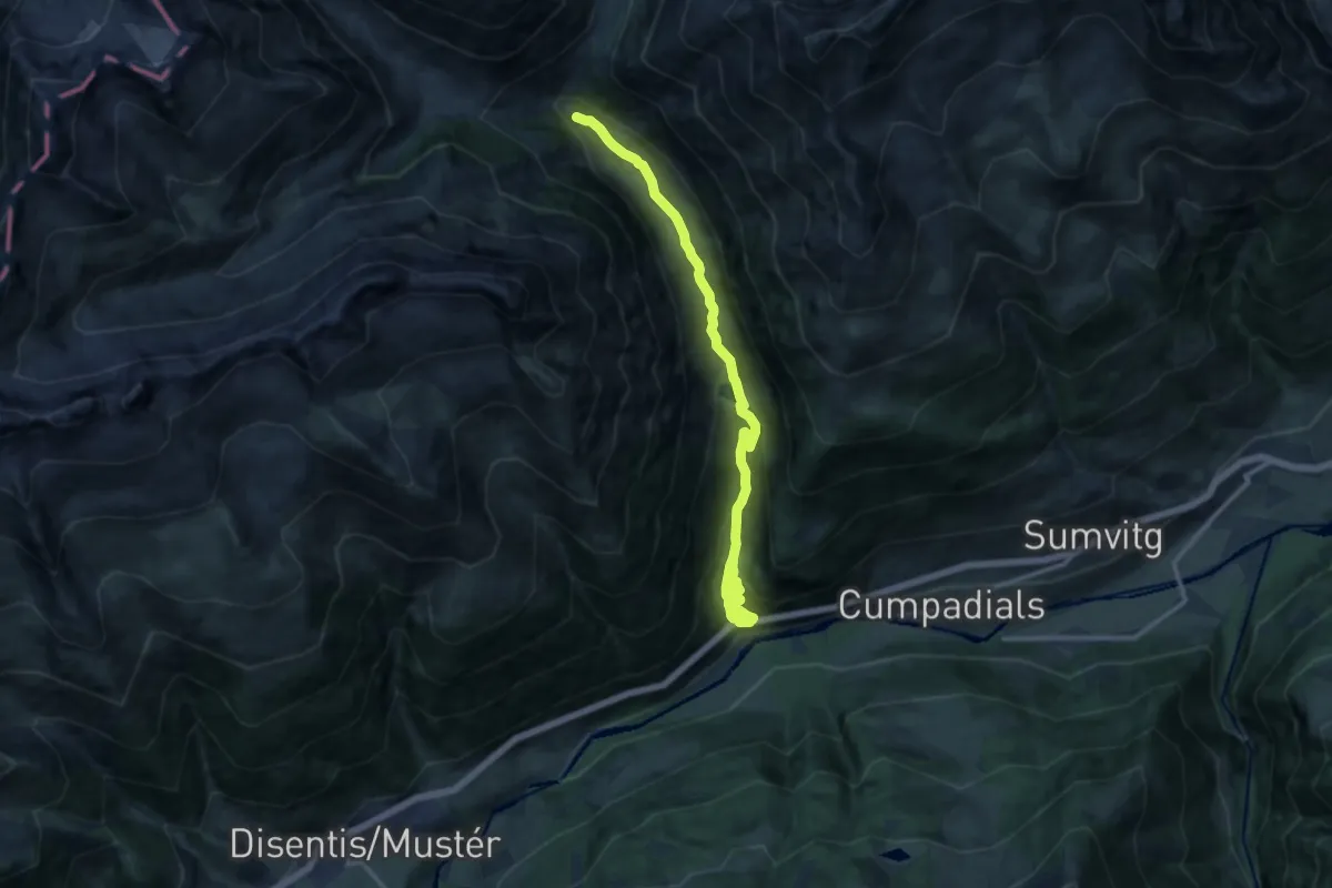
Medium · Trail
Alp Cavrain Sut-Punt Russein
13.6 km · ↑ 735 m · 4 h 48 min
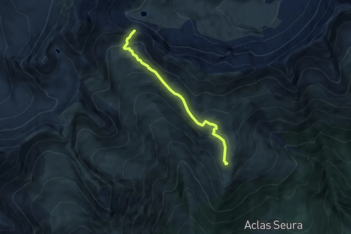
Demanding · Trail
Alp Creusch Furcleta
6.2 km · ↑ 354 m · 2 h 14 min
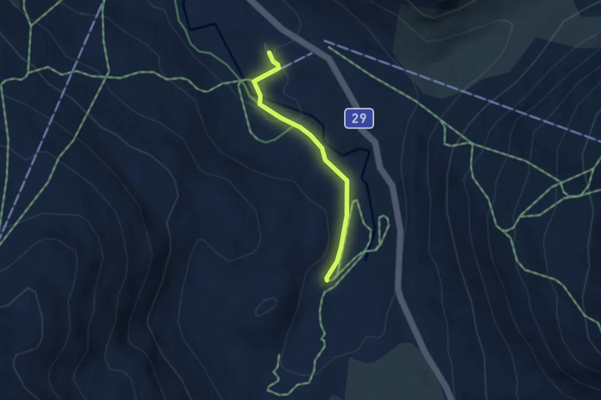
Easy · Trail
Alp da Buond Sur-Bernina Lagalb
2.7 km · ↑ 49 m · 44 min
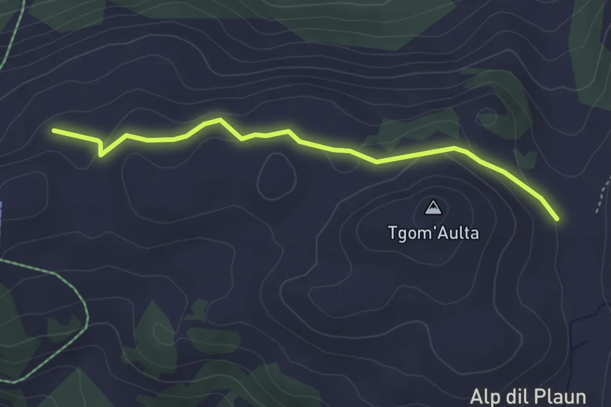
Easy · Cabin
Alp da Veuden - Emser Skihütte
3.7 km · ↑ 125 m · 1 h 8 min
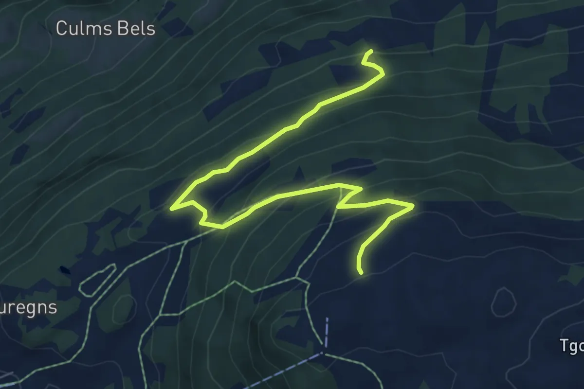
Medium · Trail
Alp da Veuden - Zeus? - fixme
7.2 km · ↑ 480 m · 2 h 44 min
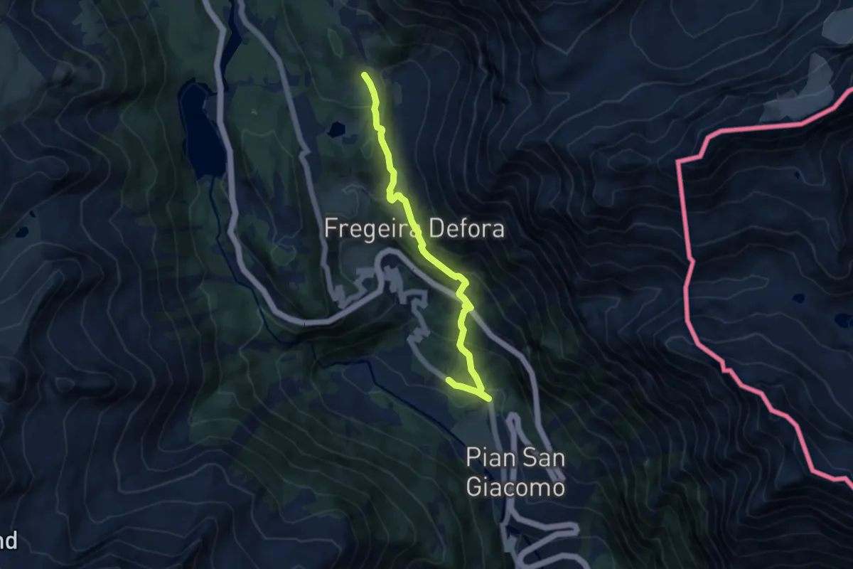
Medium · Trail
Alp de Pian Doss - ?
8.7 km · ↑ 580 m · 3 h 19 min
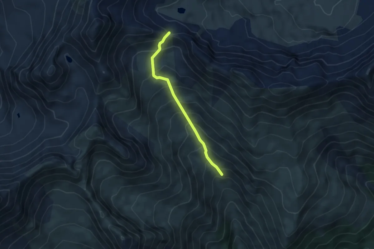
Demanding · Trail
Alp dilg Guert Furcleta
4.1 km · ↑ 444 m · 1 h 56 min
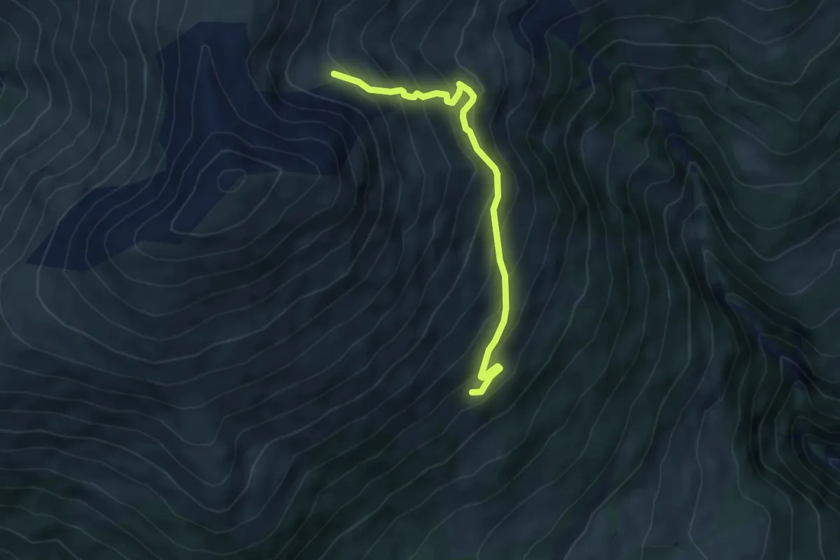
Medium · Trail
Alp Discholas - Marangun
5.1 km · ↑ 411 m · 2 h 5 min
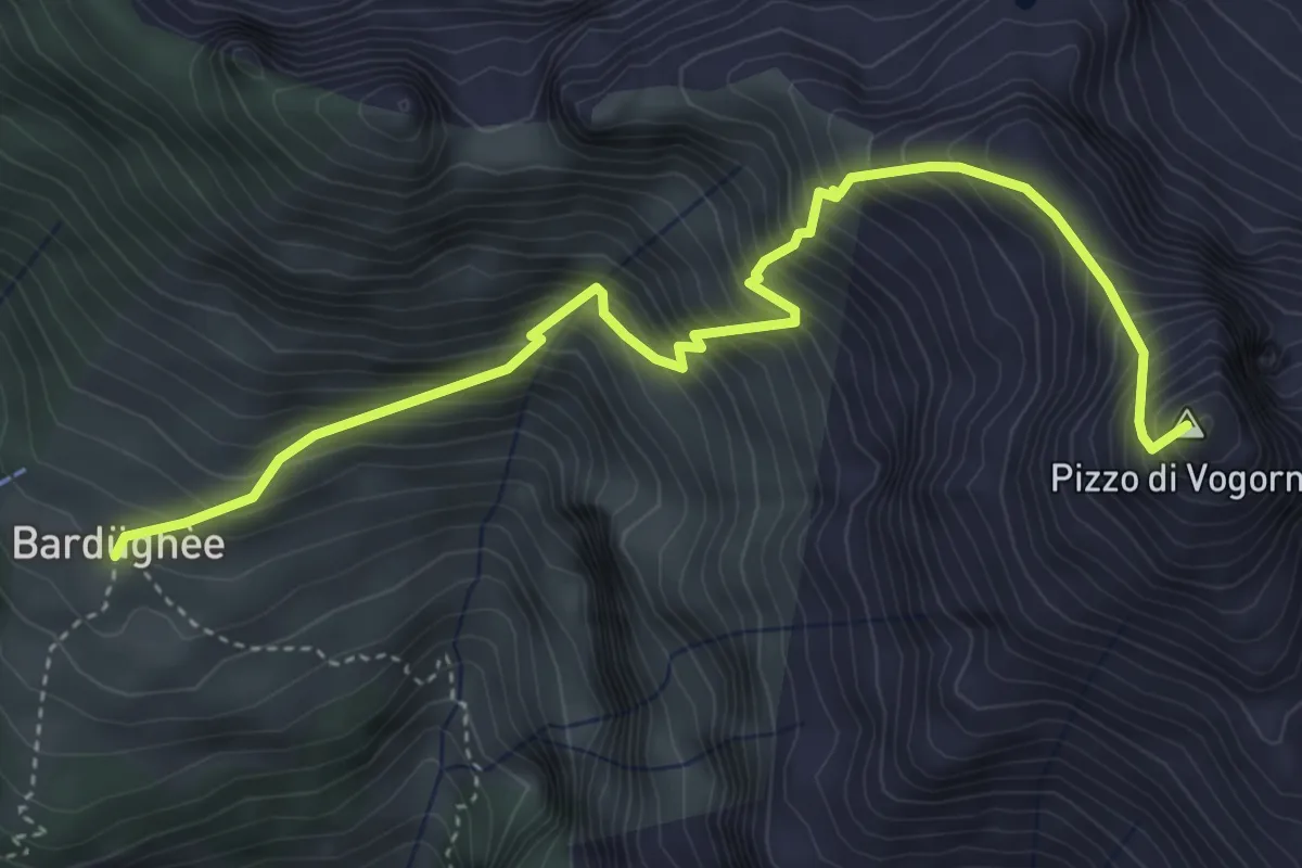
Demanding · Summit
Alpe Bardughè - Pizzo di Vogorno
4.9 km · ↑ 824 m · 2 h 56 min
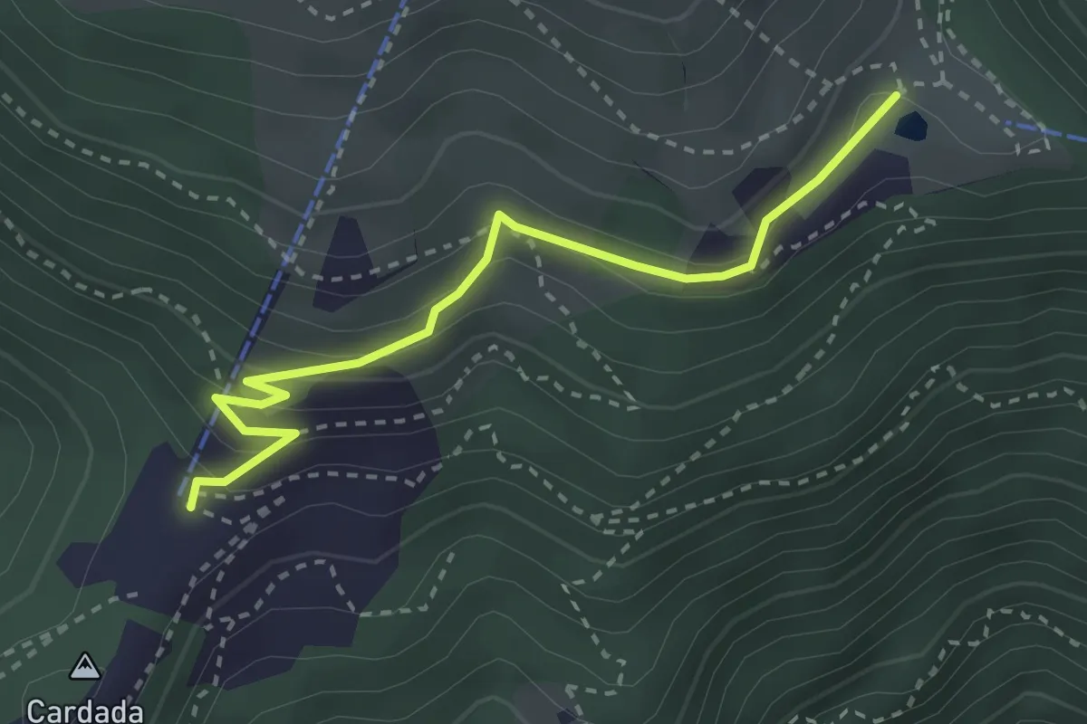
Medium · Trail
Alpe Cardada - Cardada Colmanicchio
3.0 km · ↑ 181 m · 1 h 6 min
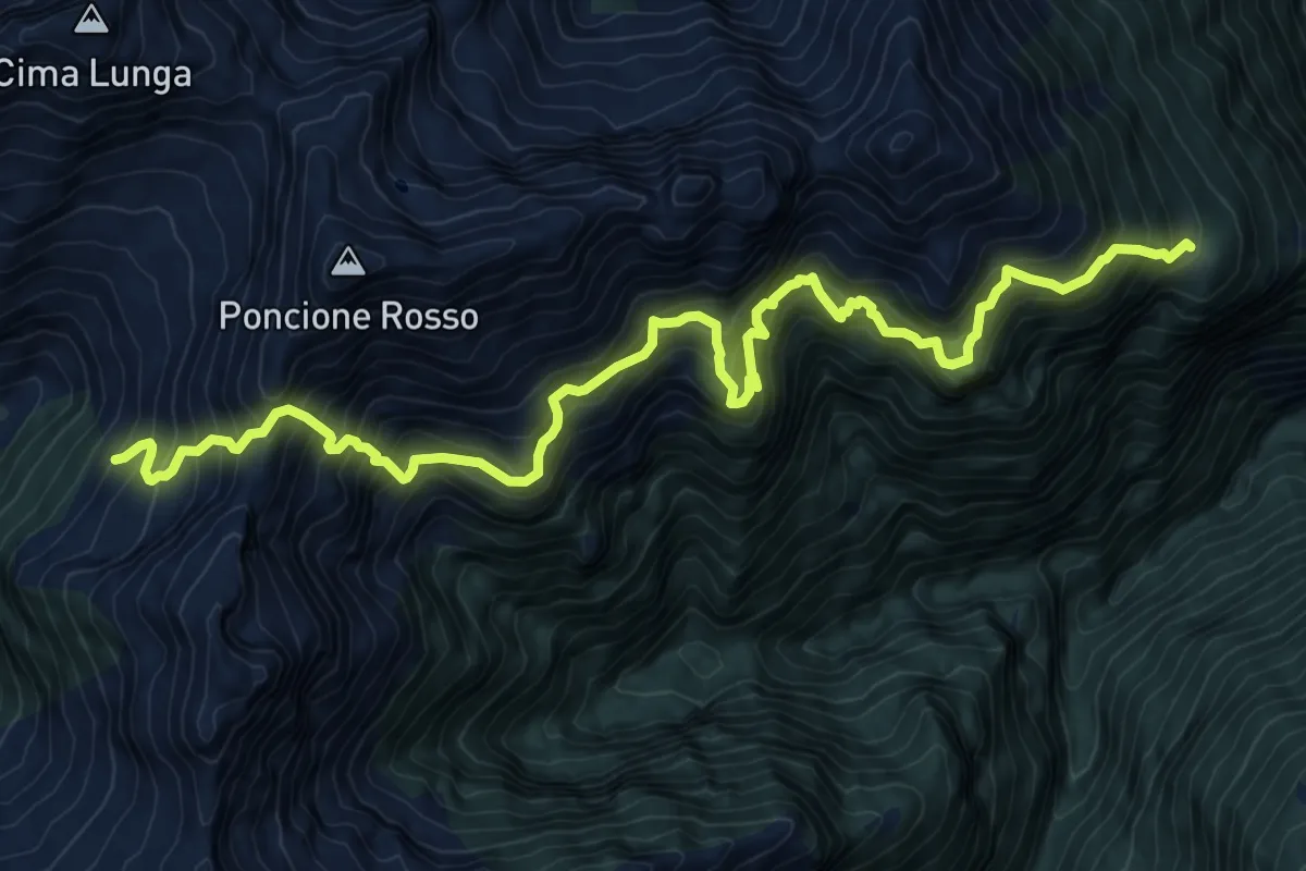
Expert · Cabin
Alpe d,Alva-Capanna Alpe Fümegna
13.0 km · ↑ 1932 m · 7 h 15 min
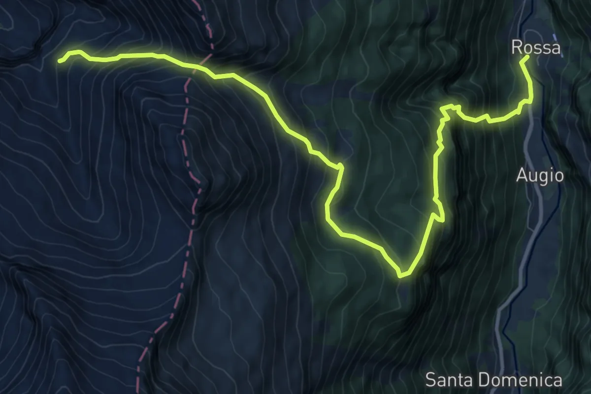
Demanding · Cabin
Alpe di Giumella - Rossa
12.7 km · ↑ 1506 m · 6 h 15 min
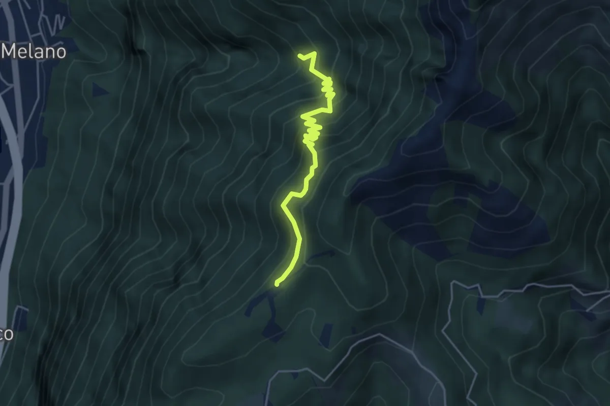
Medium · Trail
Alpe di Melano-Bellavista
4.1 km · ↑ 473 m · 1 h 59 min
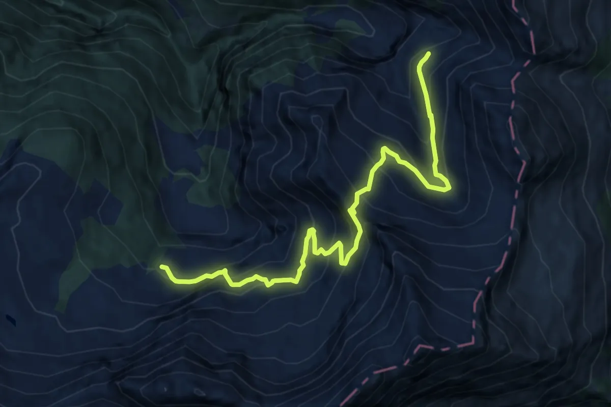
Demanding · Trail
Alpe di Sceng di Sopra - Alpe di Giumella
12.4 km · ↑ 1063 m · 5 h 14 min
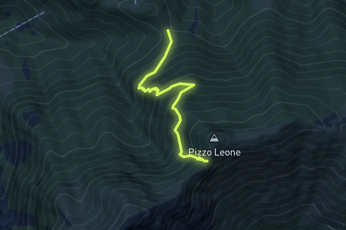
Medium · Trail
Alpe Naccio - Termine
5.2 km · ↑ 585 m · 2 h 29 min
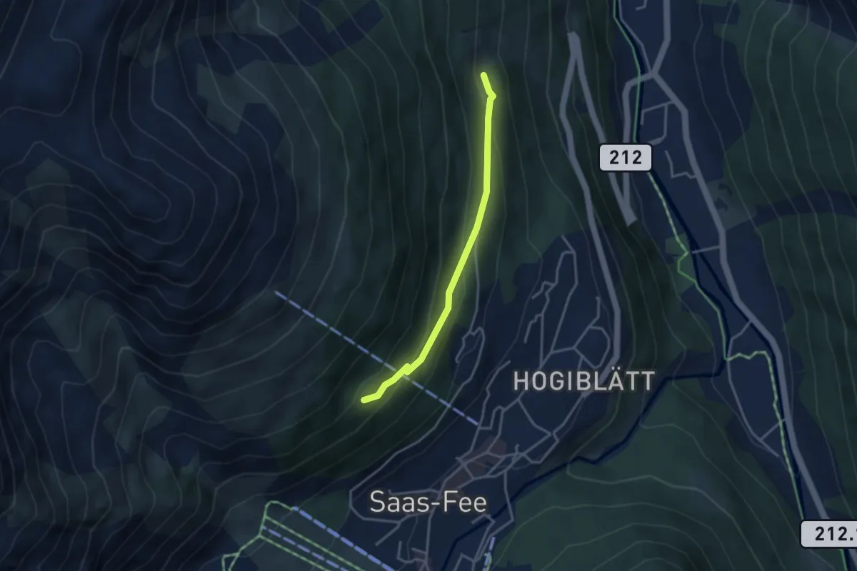
Easy · Trail
Alpenblick - Bärenfalle
3.1 km · ↑ 153 m · 1 h 4 min
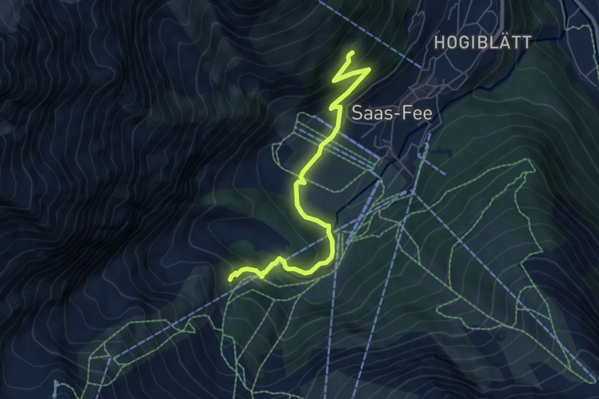
Medium · Trail
Alpenblick - Gletschergrotte
6.4 km · ↑ 378 m · 2 h 20 min
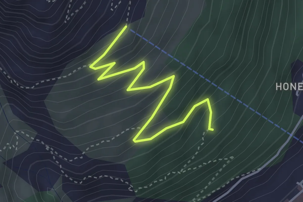
Easy · Trail
Alpenblick - Hannig
3.8 km · ↑ 308 m · 1 h 34 min
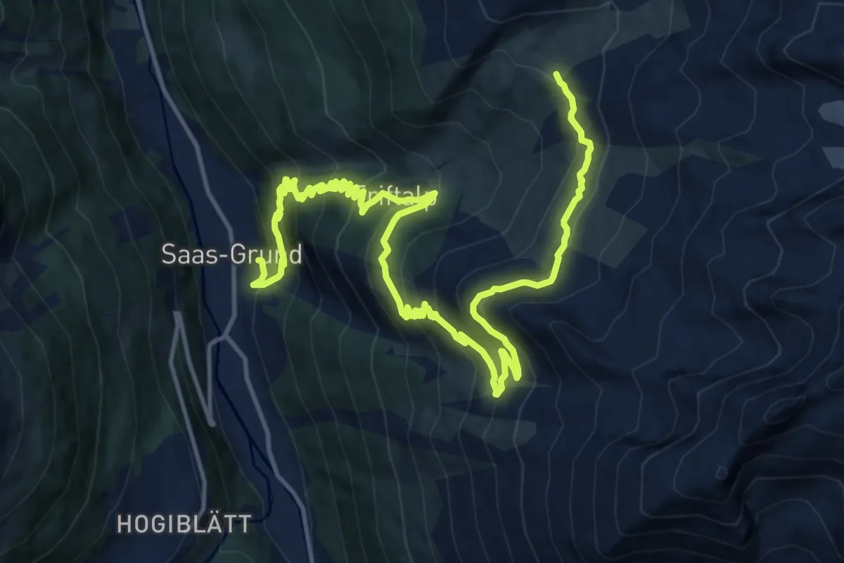
Demanding · Cabin
Alpenblumen Promenade
18.3 km · ↑ 1242 m · 7 h
Medium · Trail
Alpenhof-Schluchegg
5.3 km · ↑ 495 m · 2 h 19 min
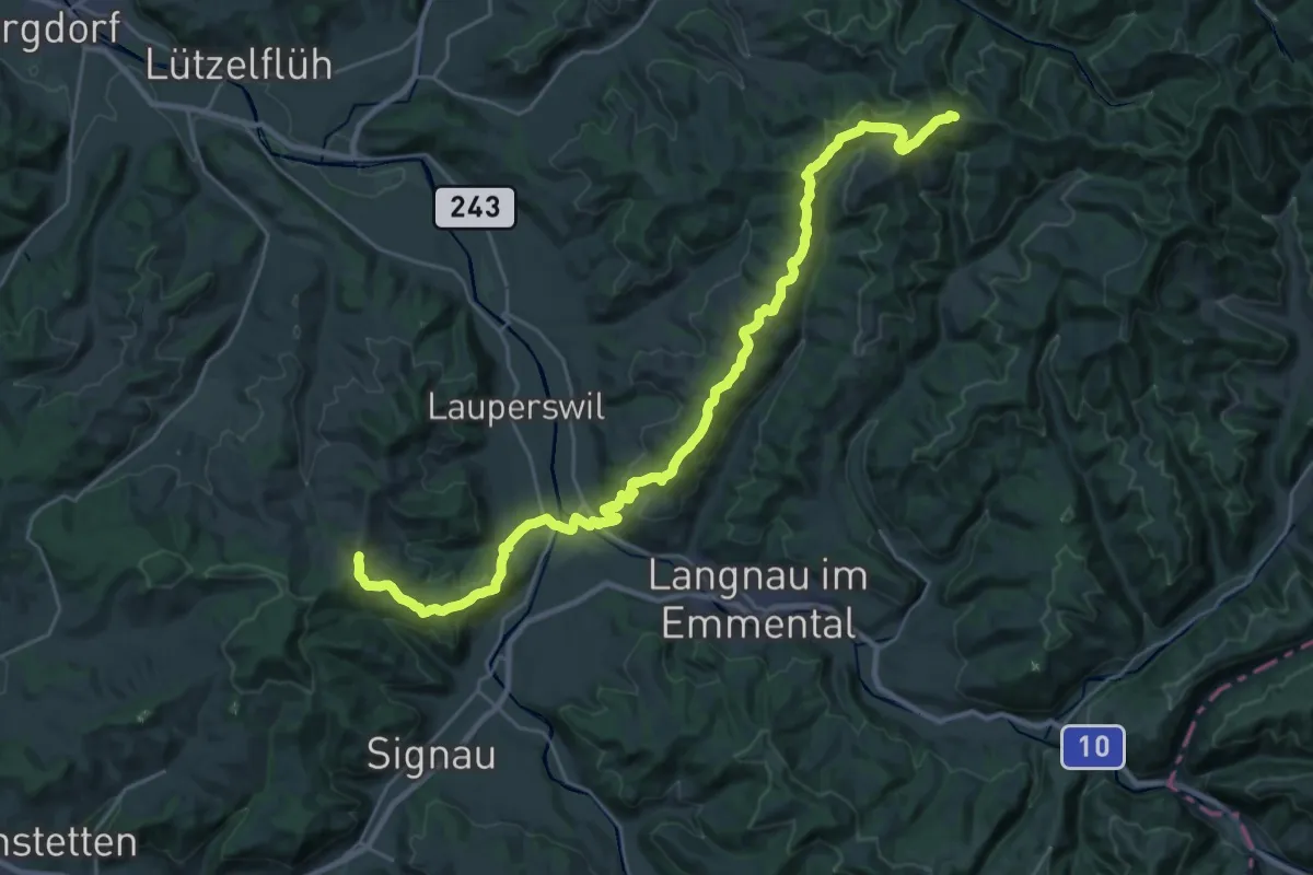
Medium · Trail
Alpenpanorama-Weg
15.6 km · ↑ 705 m · 5 h 20 min
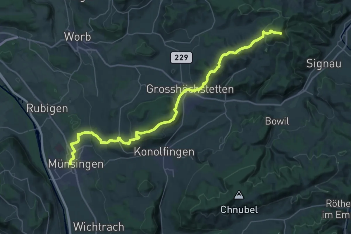
Demanding · Summit
Alpenpanorama-Weg
33.3 km · ↑ 1120 m · 10 h 17 min
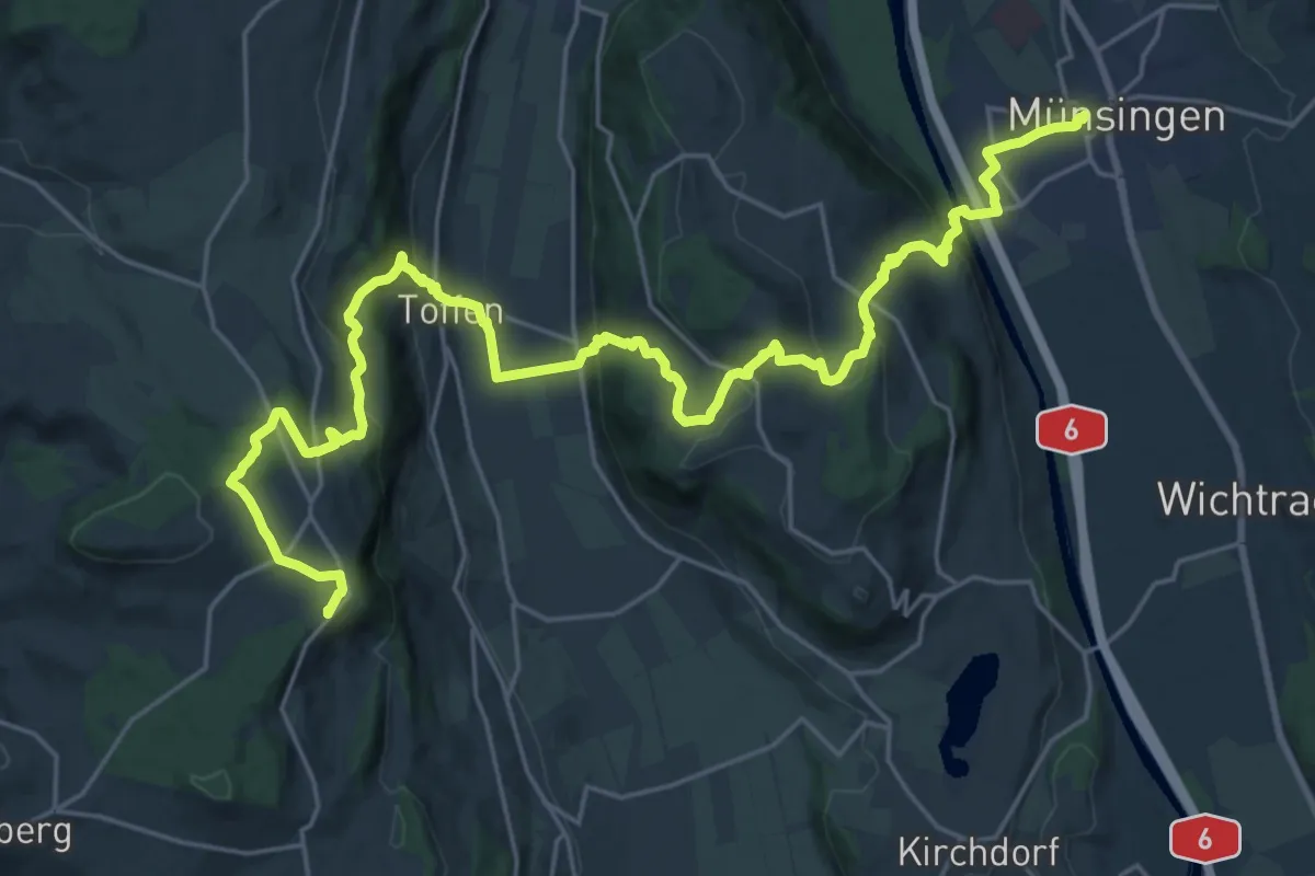
Demanding · Summit
Alpenpanorama-Weg
30.3 km · ↑ 1232 m · 9 h 50 min
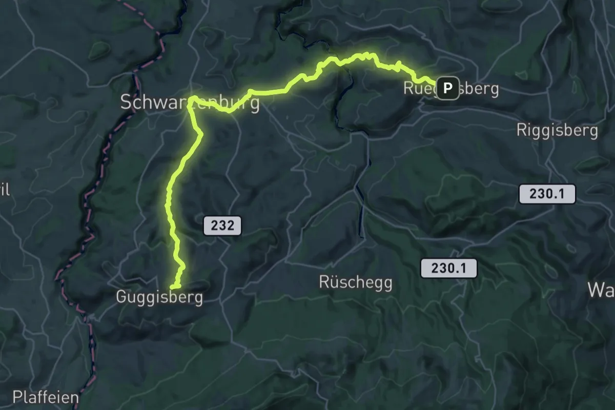
Demanding · Summit
Alpenpanorama-Weg
32.5 km · ↑ 1167 m · 10 h 12 min
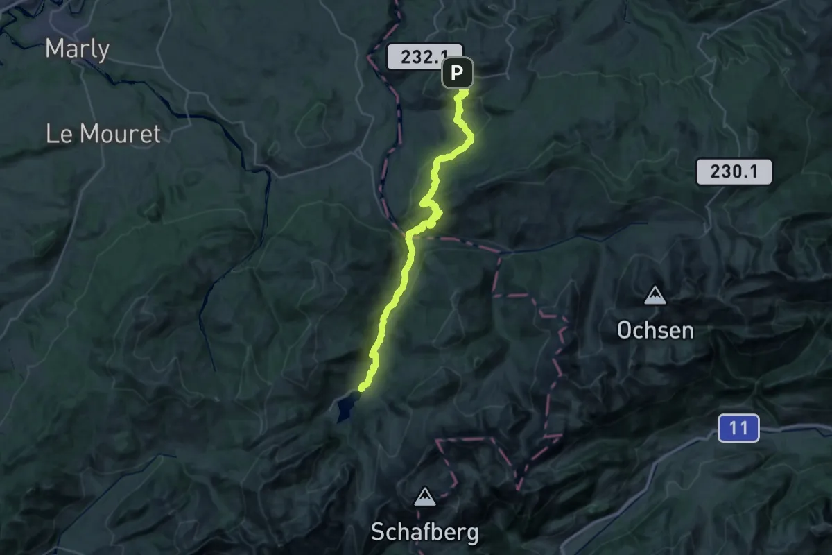
Medium · Trail
Alpenpanorama-Weg
15.9 km · ↑ 690 m · 5 h 30 min
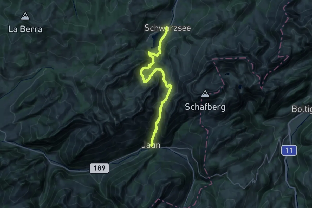
Medium · Trail
Alpenpanorama-Weg
11.7 km · ↑ 714 m · 4 h 28 min
Demanding · Summit
Alpenpanorama-Weg
23.7 km · ↑ 1040 m · 7 h 51 min
Medium · Summit
Alpenpanorama-Weg
16.8 km · ↑ 661 m · 5 h 23 min
Demanding · Summit
Alpenpanorama-Weg
19.0 km · ↑ 854 m · 6 h 21 min
Demanding · Summit
Alpenpanorama-Weg
31.0 km · ↑ 452 m · 8 h 17 min