Trails in Switzerland
15,029 hiking trails, each with its route, climb, walking time and grade.
All trails, page 53 of 314
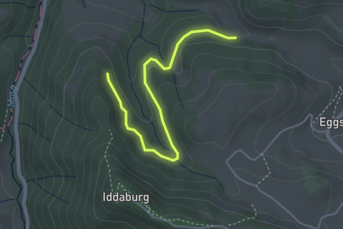
Easy · Trail
Hüttenstetten Süd - ?
3.4 km · ↑ 133 m · 1 h 6 min
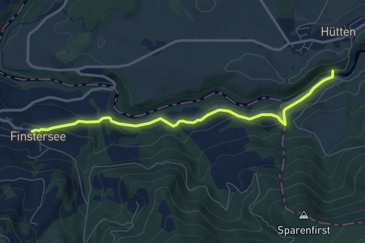
Easy · Trail
Hüttner Brugg - Finstersee - fixme
6.8 km · ↑ 315 m · 2 h 18 min
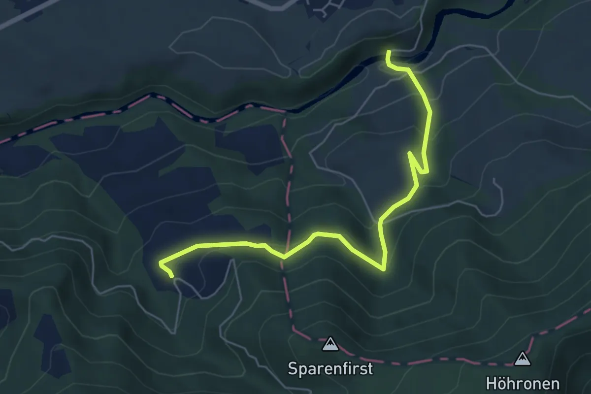
Medium · Trail
Hüttner Brugg - Sparenweid
5.4 km · ↑ 332 m · 2 h
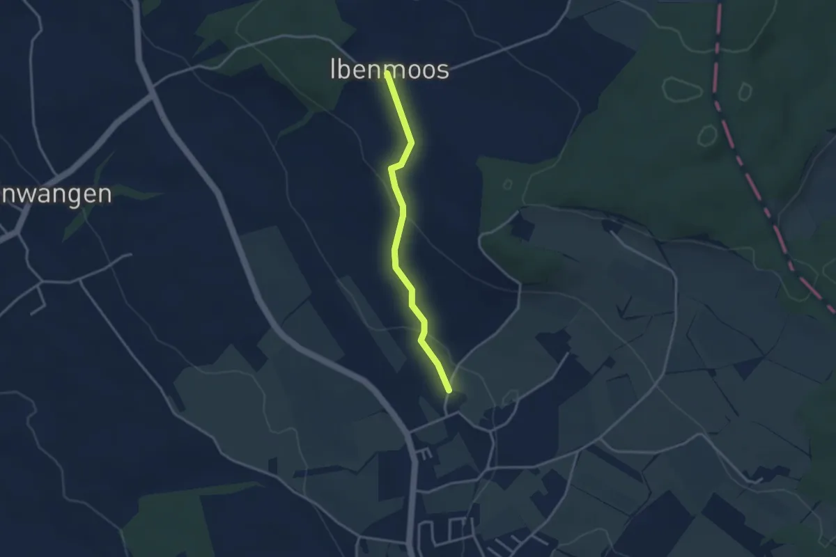
Easy · Trail
Ibenmoos - Güniken
2.8 km · ↑ 79 m · 50 min
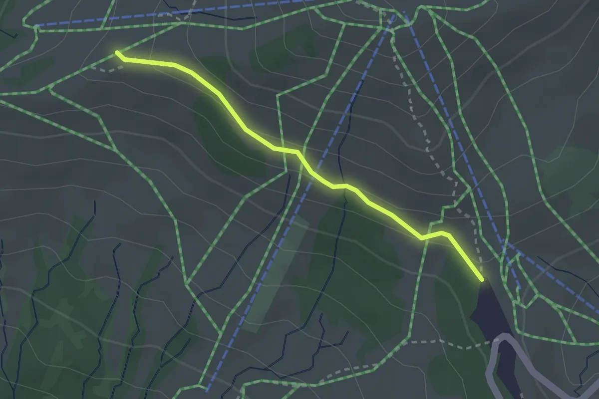
Easy · Trail
Ibergeregg - Zwäcken
2.4 km · ↑ 75 m · 43 min
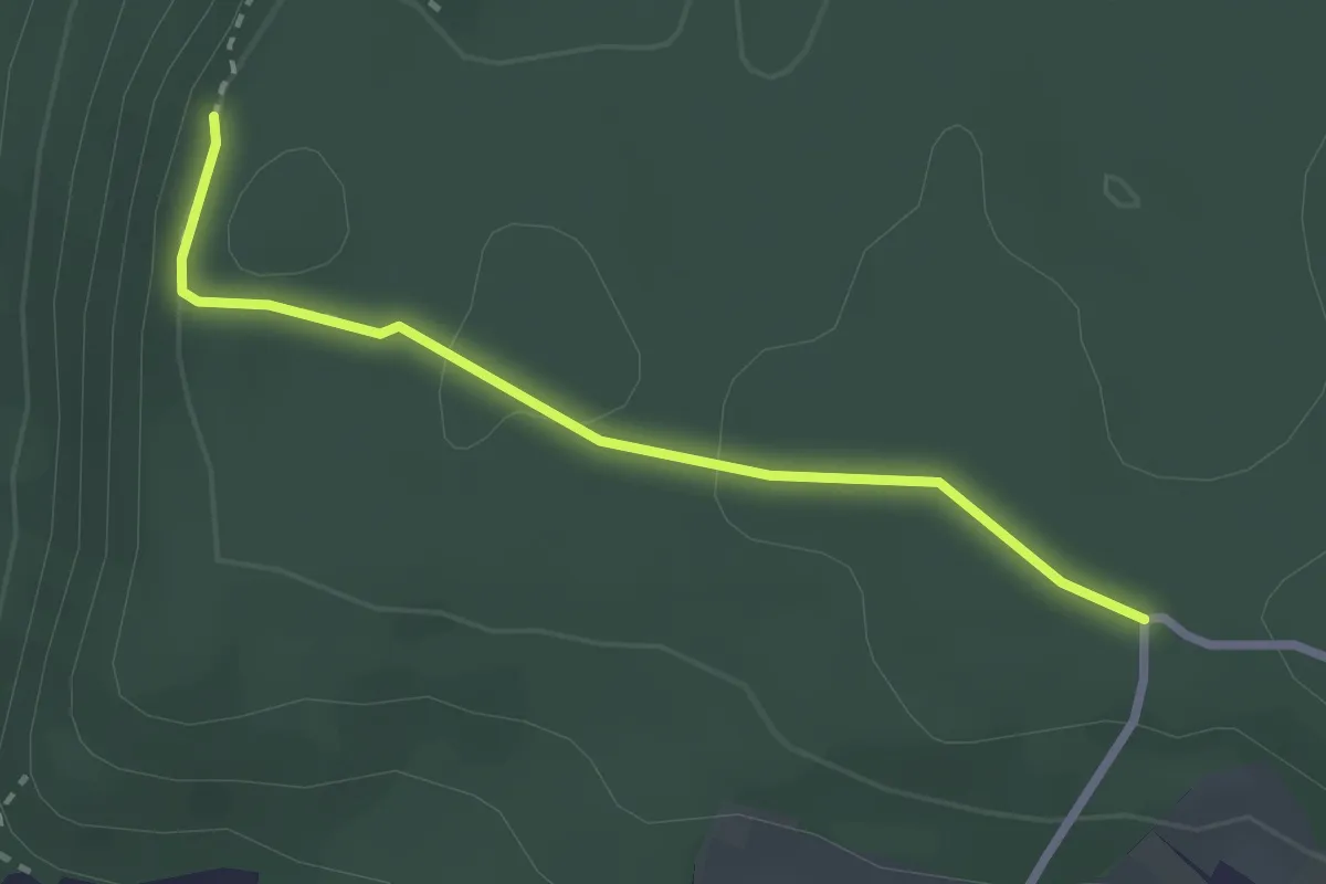
Easy · Trail
Iberig / Iflue - Rotchrütz
2.5 km · ↑ 53 m · 42 min
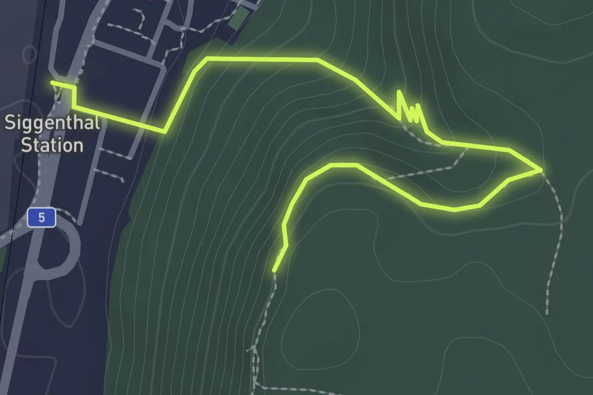
Easy · Trail
Iberig / Iflue - Siggenthal Station
3.3 km · ↑ 190 m · 1 h 11 min
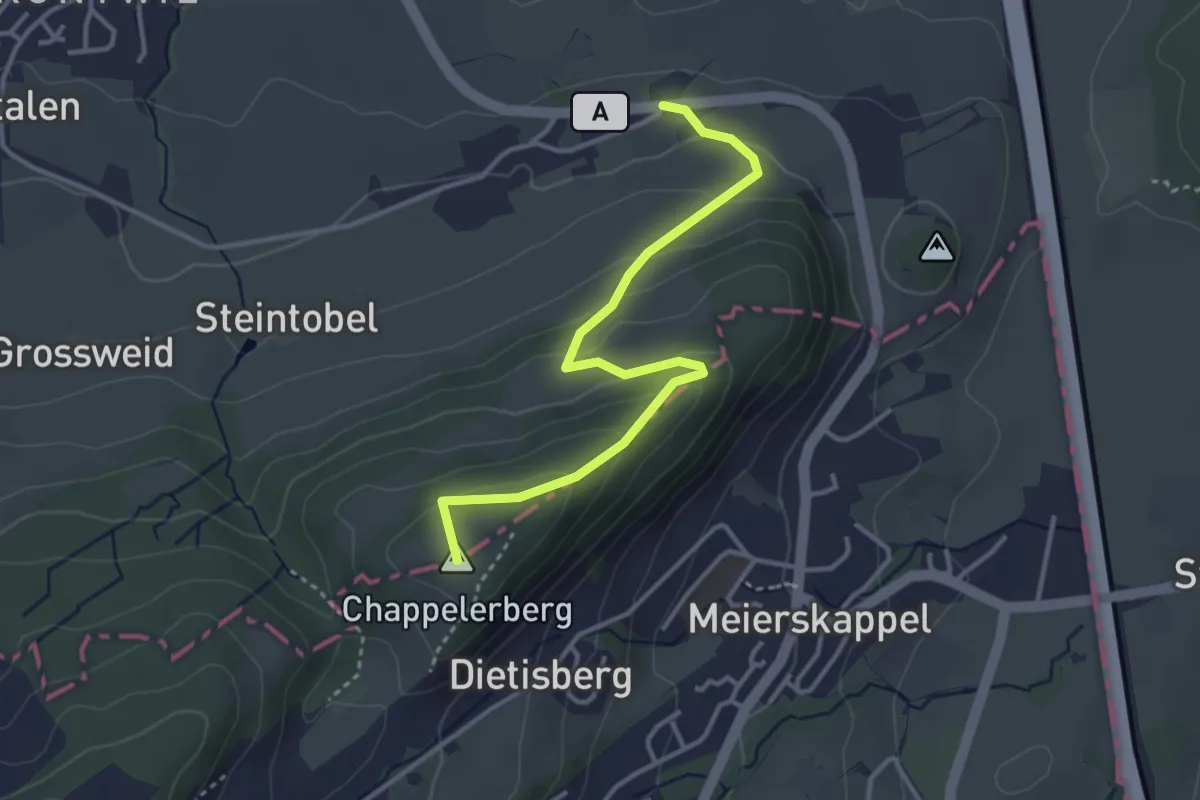
Easy · Summit
Ibikon - Honau
3.6 km · ↑ 192 m · 1 h 16 min
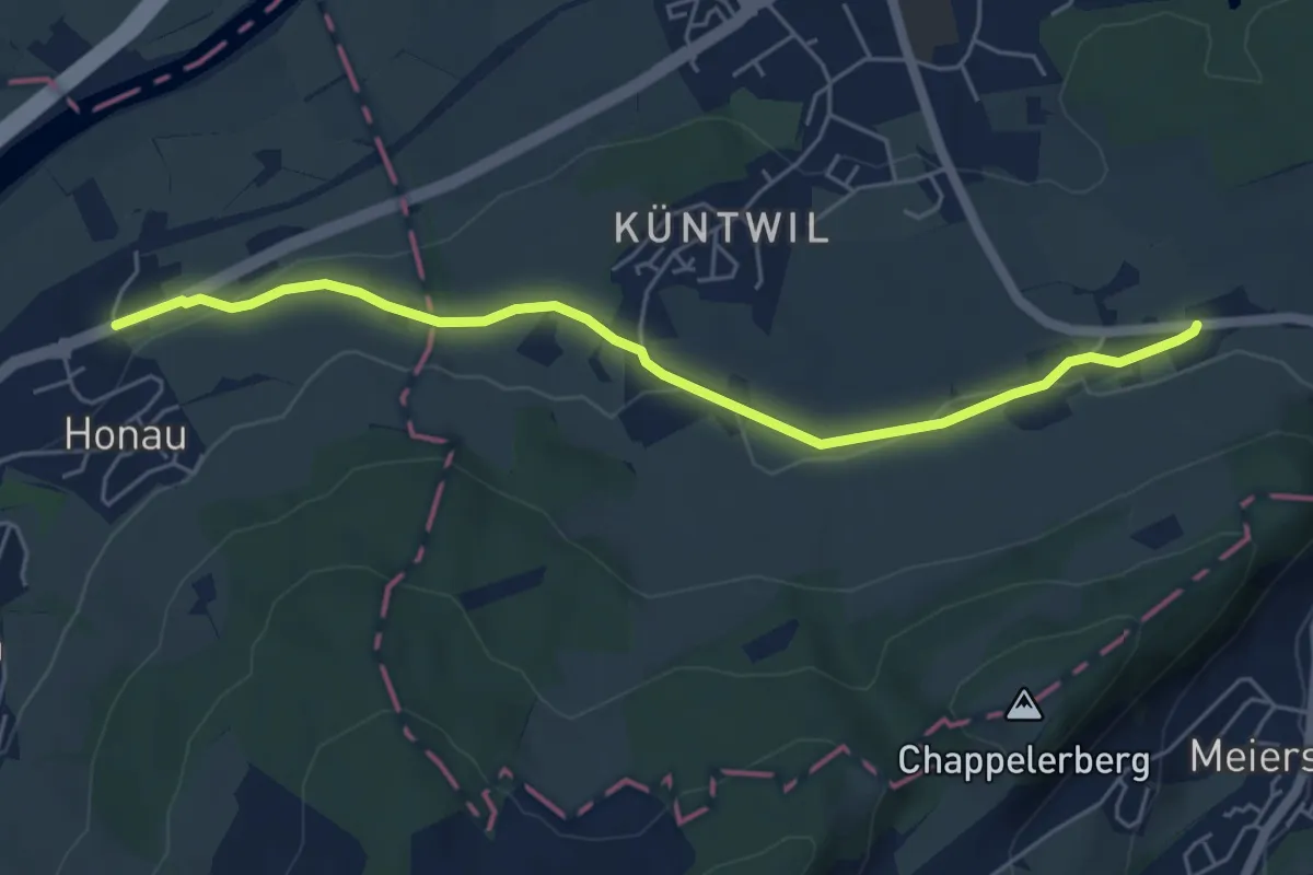
Easy · Trail
Ibikon - Honau
5.5 km · ↑ 68 m · 1 h 26 min
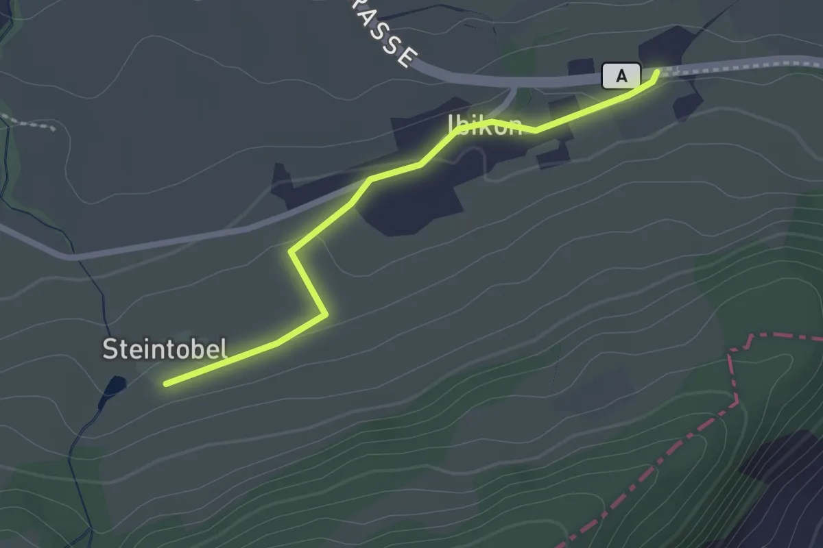
Easy · Trail
Ibikon - Steintobel
2.0 km · ↑ 38 m · 34 min
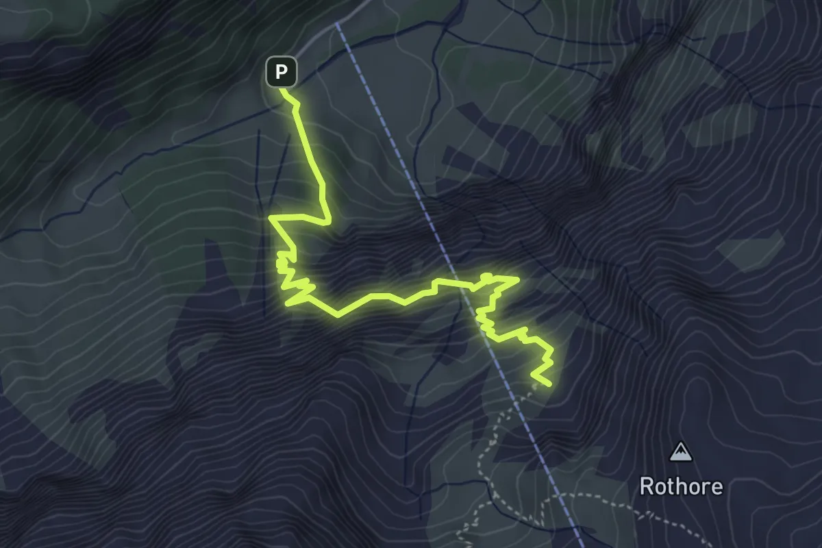
Demanding · Summit
Iffigenalp-Stierenläger
5.4 km · ↑ 826 m · 3 h 3 min
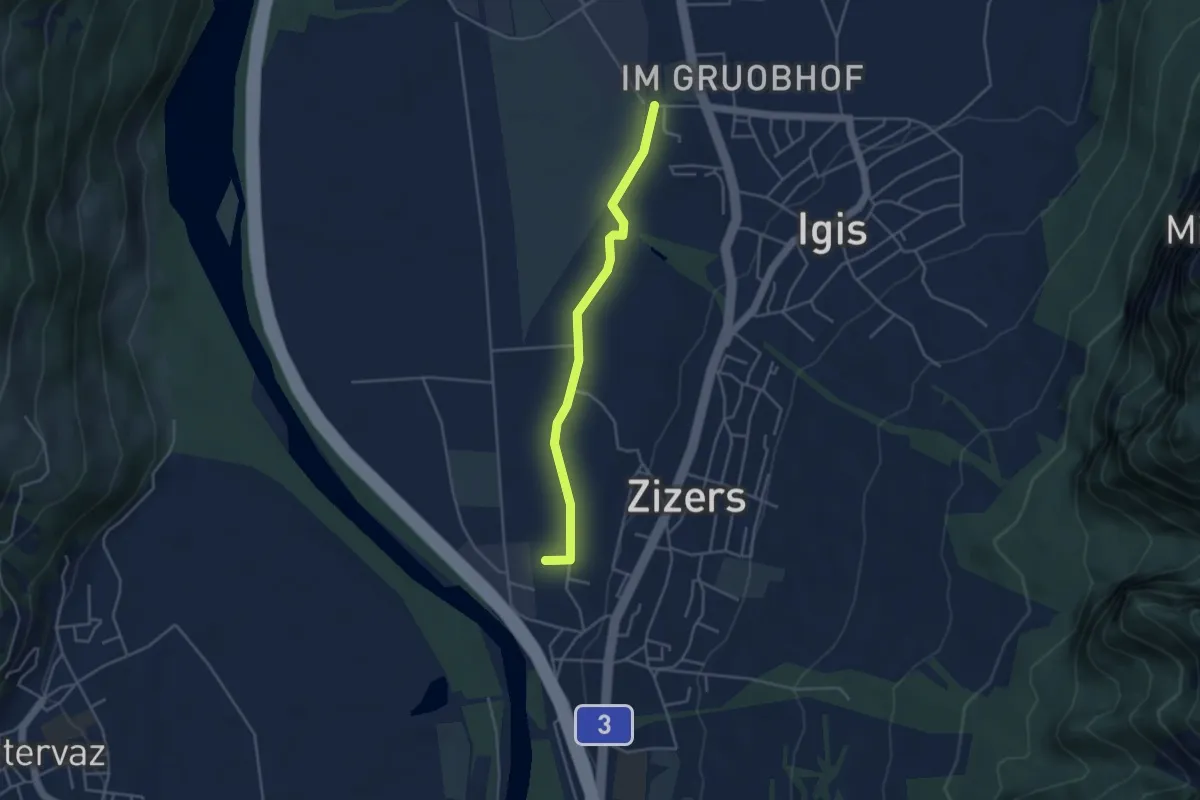
Easy · Trail
Igis RhB - Zizers RhB
3.8 km · ↑ 4 m · 55 min
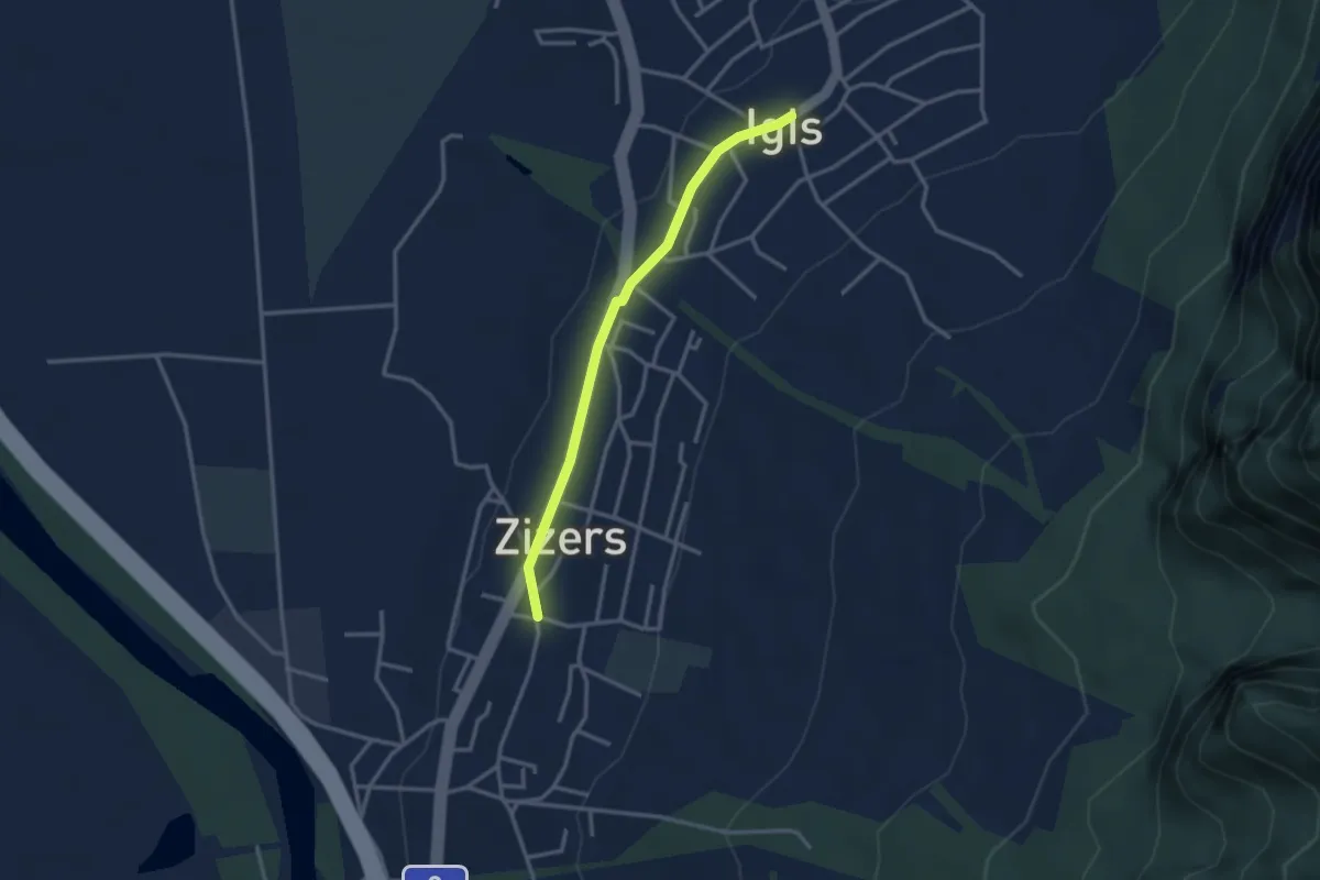
Easy · Trail
Igis - Zizers
2.9 km · ↑ 18 m · 43 min
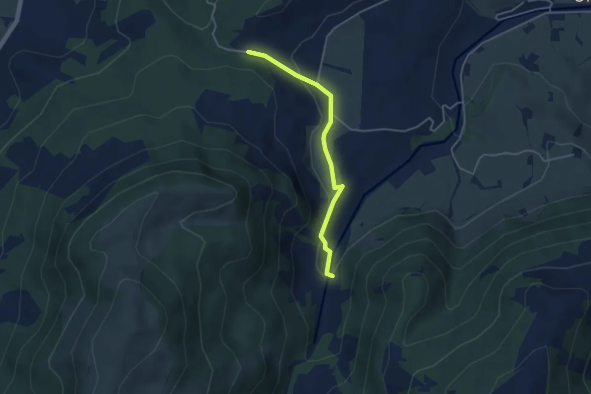
Easy · Trail
Ijenschatten - Chälen
3.1 km · ↑ 85 m · 55 min
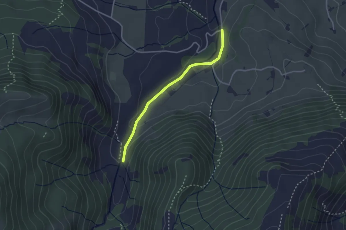
Easy · Trail
Ijenschatten - Rämpelensäge
2.5 km · ↑ 58 m · 43 min
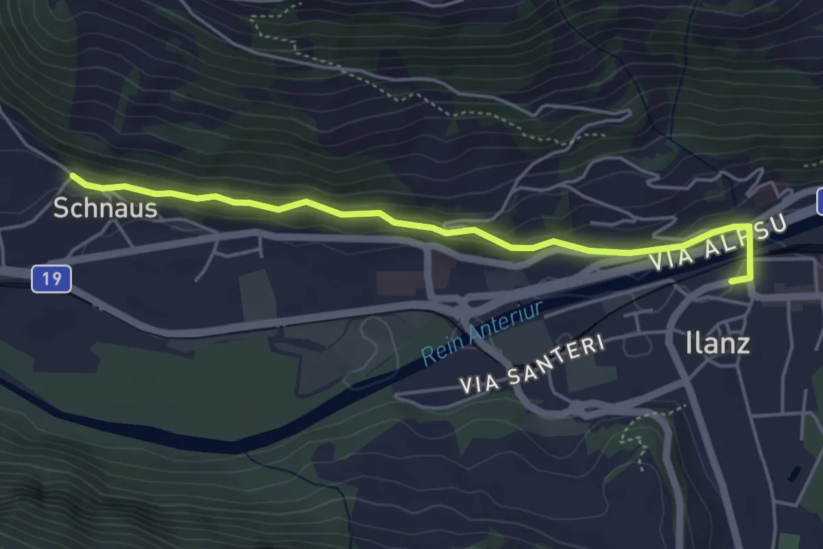
Easy · Trail
Ilanz/Glion - Schnaus
4.5 km · ↑ 134 m · 1 h 21 min
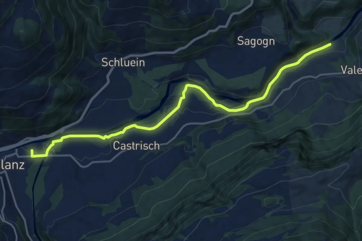
Medium · Trail
Ilanz->Station Valendas
12.9 km · ↑ 103 m · 3 h 16 min
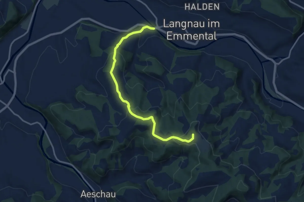
Medium · Summit
Ilfis - Hochwacht
8.7 km · ↑ 378 m · 2 h 53 min
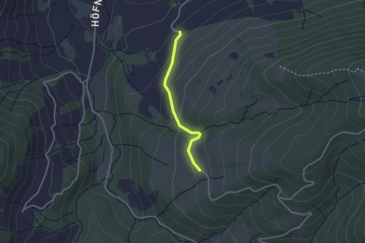
Easy · Trail
Illenberg - Resti
2.0 km · ↑ 118 m · 44 min
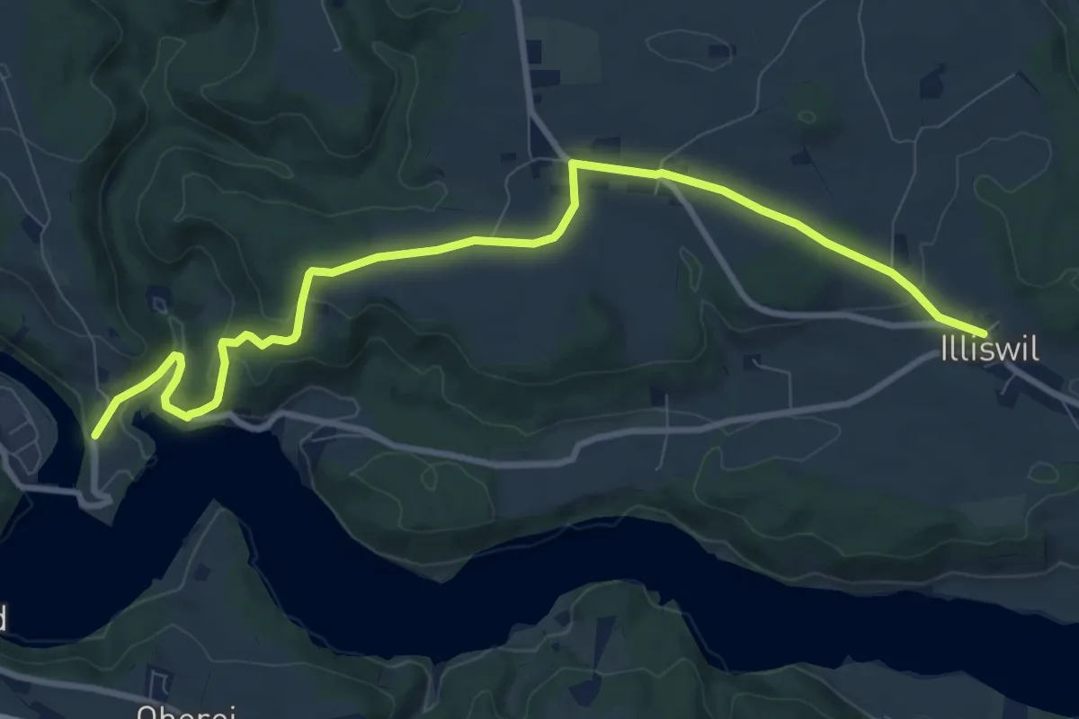
Medium · Trail
Illiswil - Wickacher
10.7 km · ↑ 277 m · 3 h 7 min
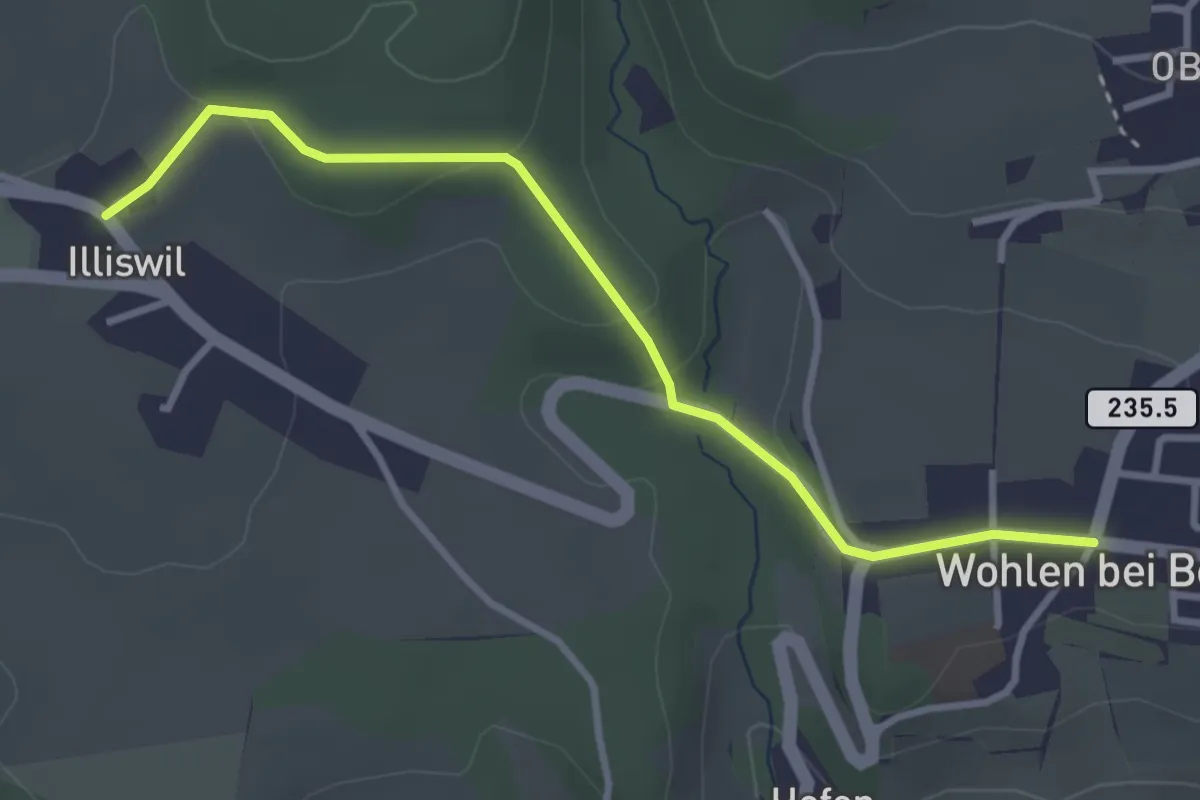
Easy · Trail
Illiswil - Wohlen
3.4 km · ↑ 79 m · 58 min
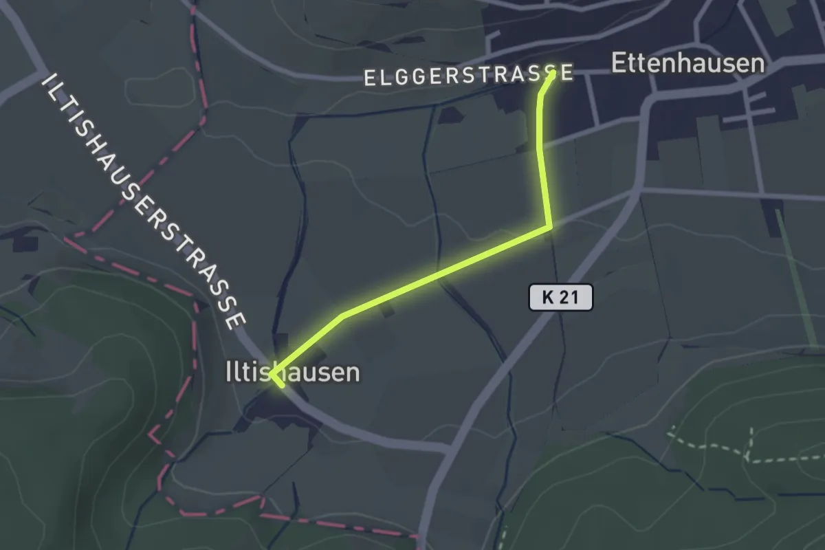
Easy · Trail
Illtishusen - Ettenhausen
2.0 km · ↑ 27 m · 32 min
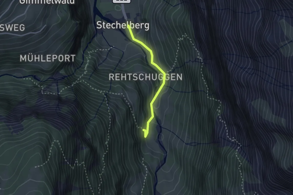
Easy · Trail
Im Boden - Stechelberg / Rütti
2.3 km · ↑ 152 m · 53 min
Medium · Trail
Imbrig - Pt. 2052
3.1 km · ↑ 556 m · 1 h 56 min
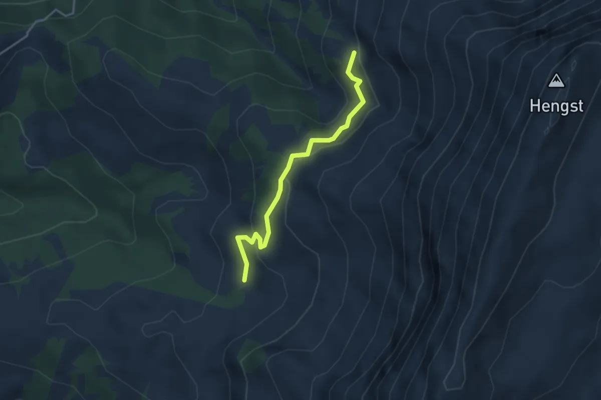
Easy · Trail
Imbrig - Steinwang
3.0 km · ↑ 131 m · 1 h
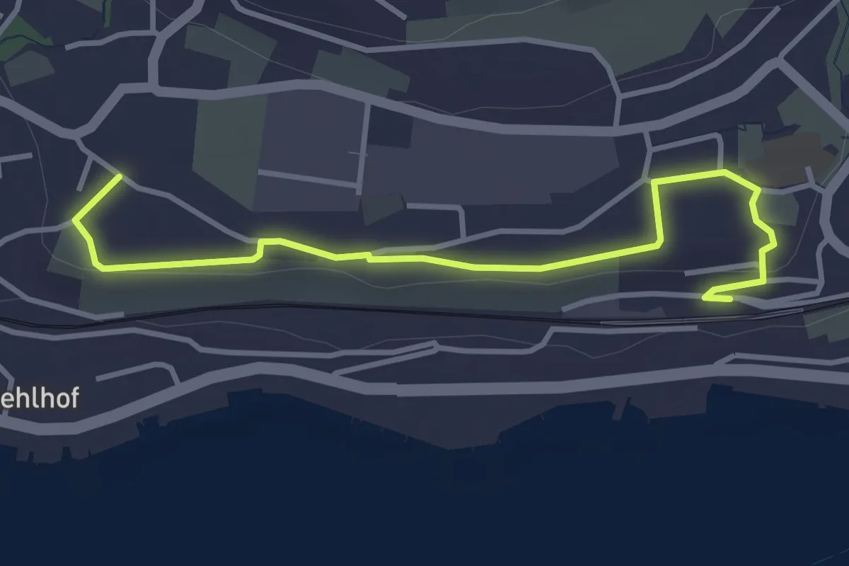
Easy · Trail
Im Riet - Uerikon
3.6 km · ↑ 34 m · 56 min
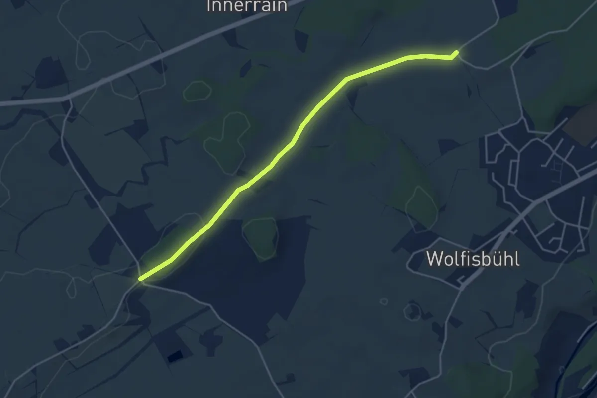
Easy · Trail
Im Spitz - Büelmatt
4.2 km · ↑ 51 m · 1 h 7 min
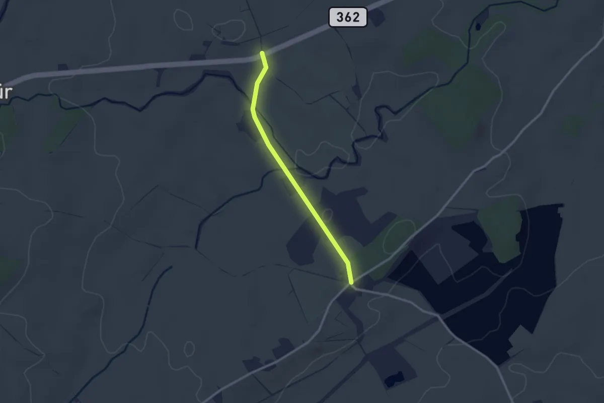
Easy · Trail
Im Spitz-Ob. Stächenrain
2.2 km · ↑ 14 m · 33 min
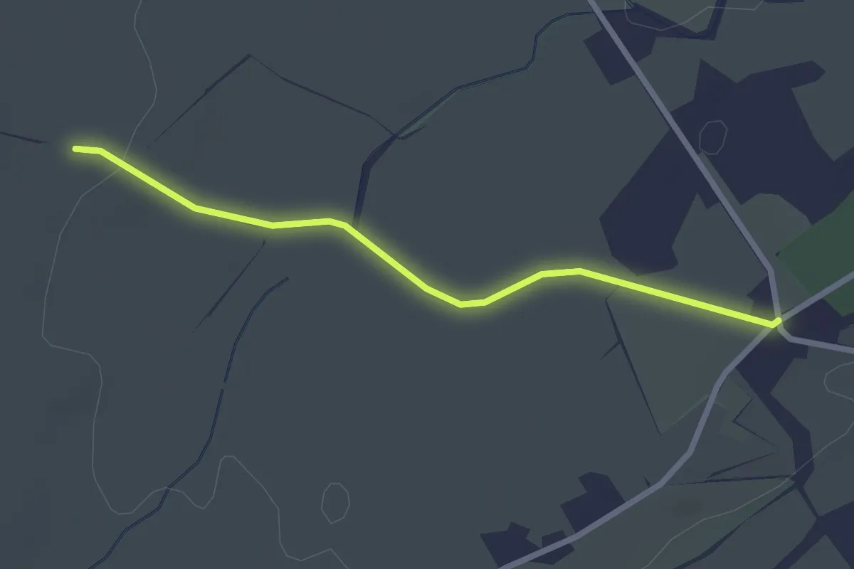
Easy · Trail
Im Spitz-Schwand
2.3 km · ↑ 20 m · 36 min
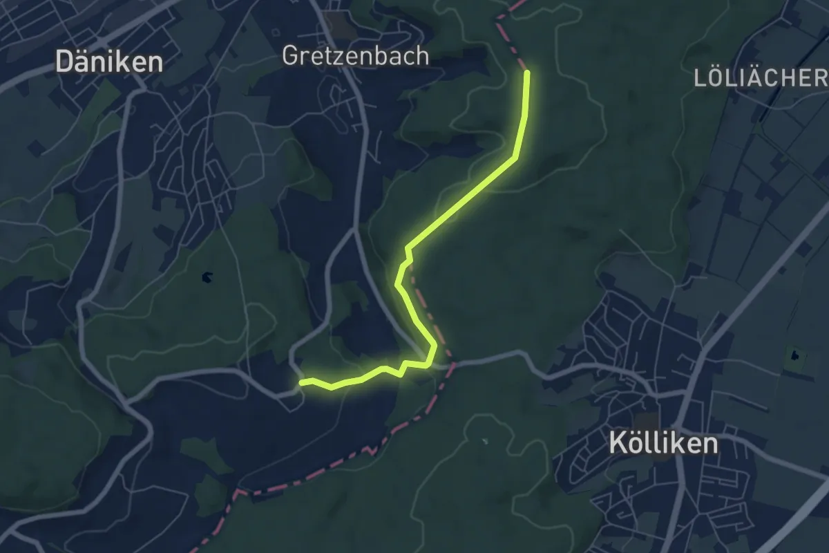
Easy · Trail
Im Tann - Grod
5.7 km · ↑ 169 m · 1 h 42 min
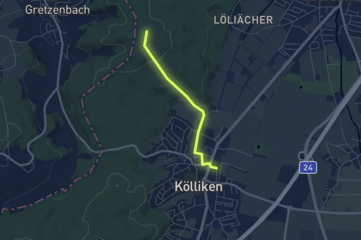
Easy · Trail
Im Tann - Kölliken
4.5 km · ↑ 89 m · 1 h 15 min
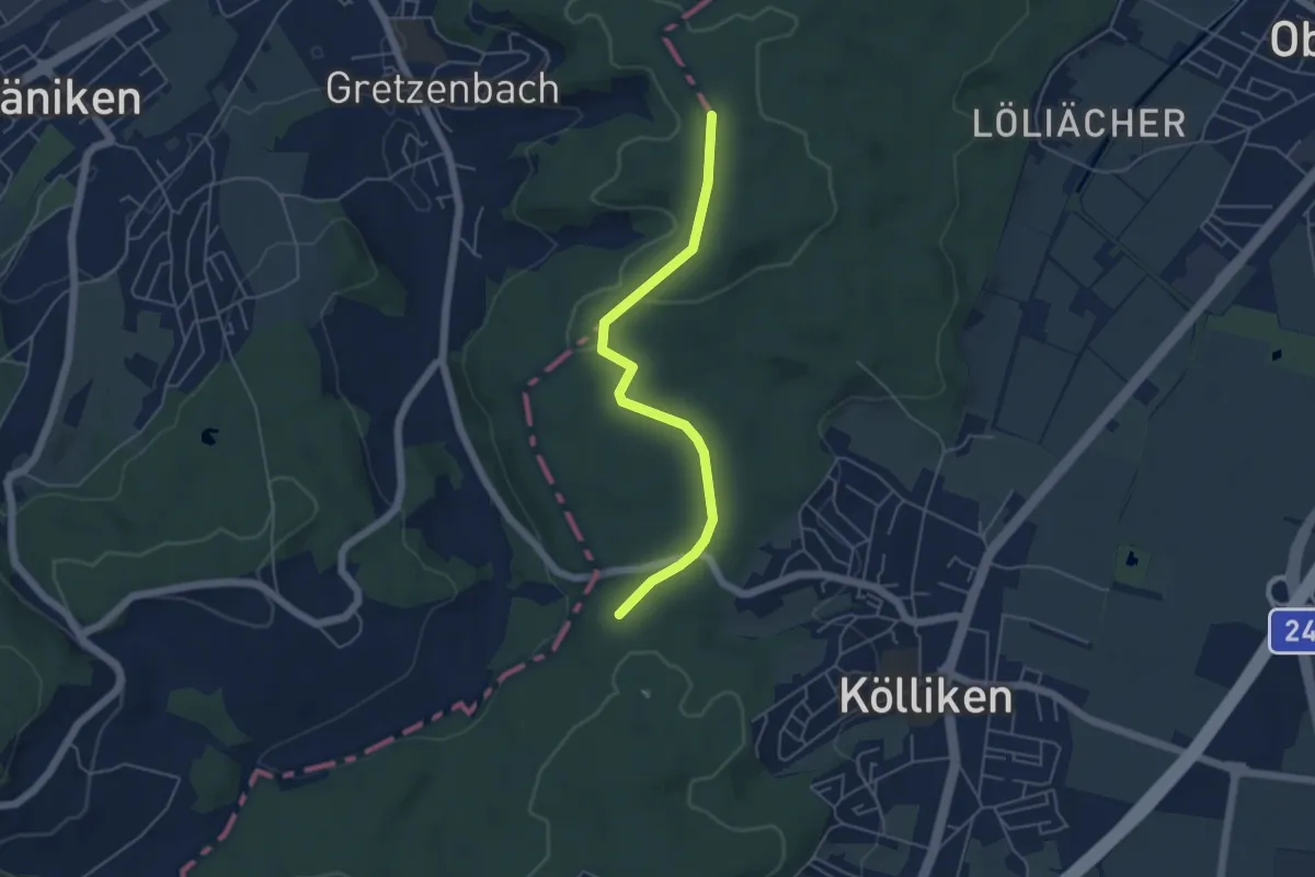
Easy · Trail
Im Tann - Kölliker Tann
4.8 km · ↑ 66 m · 1 h 16 min
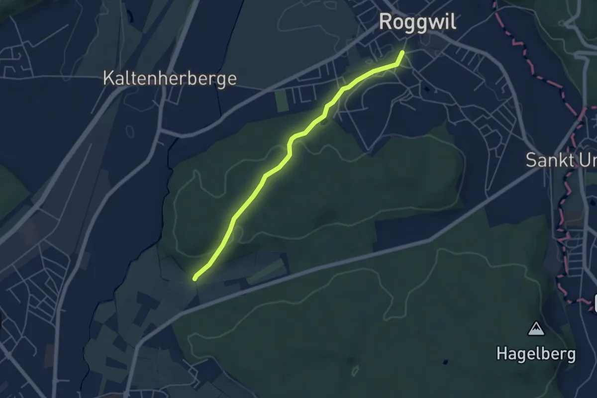
Easy · Trail
Im Weier - Roggwil
4.7 km · ↑ 114 m · 1 h 21 min
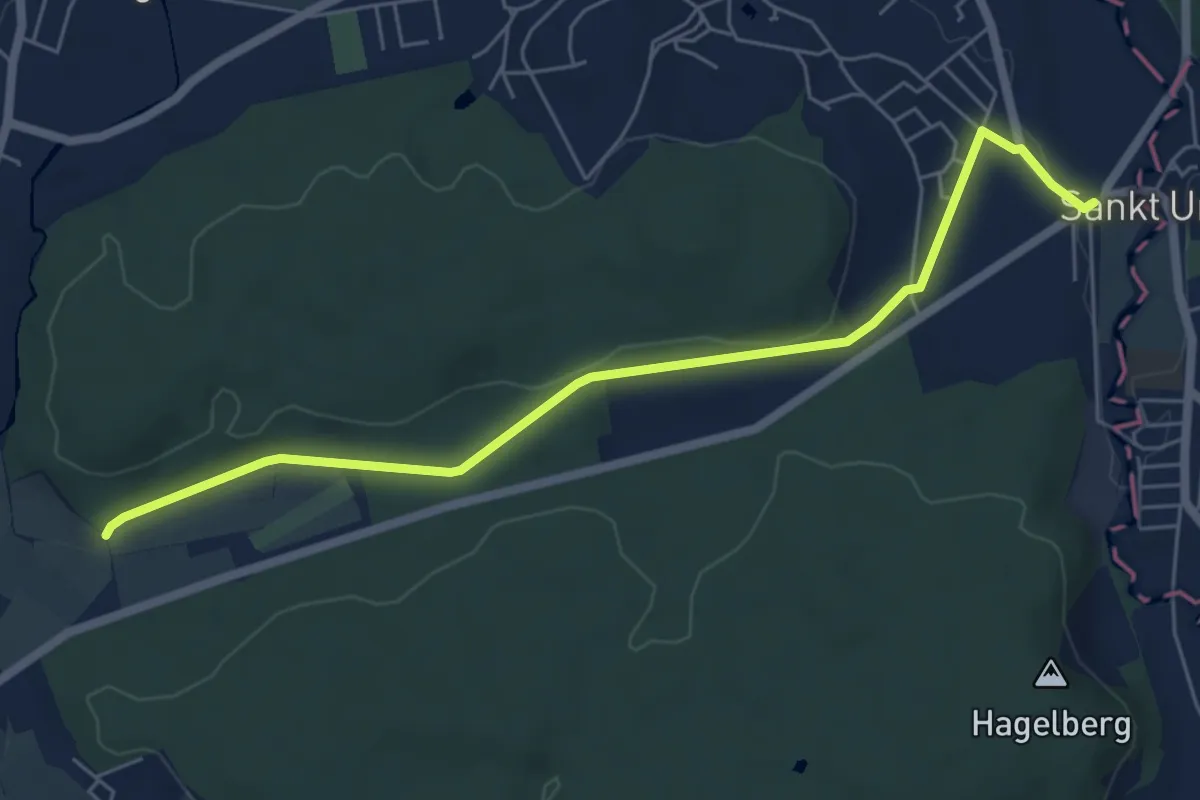
Easy · Trail
Im Weier - St.Urban
6.2 km · ↑ 91 m · 1 h 40 min
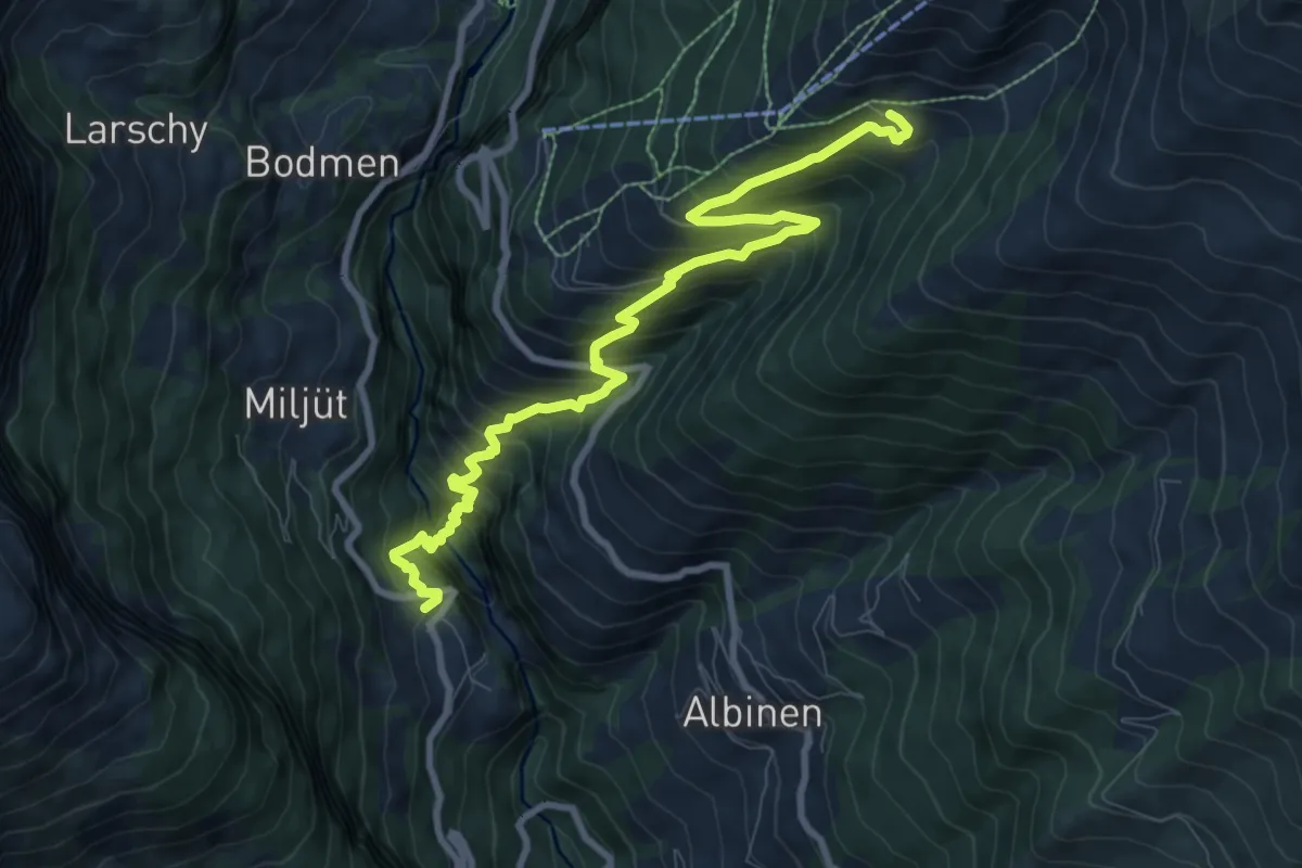
Demanding · Trail
Inden Torrentalp
10.1 km · ↑ 1056 m · 4 h 41 min
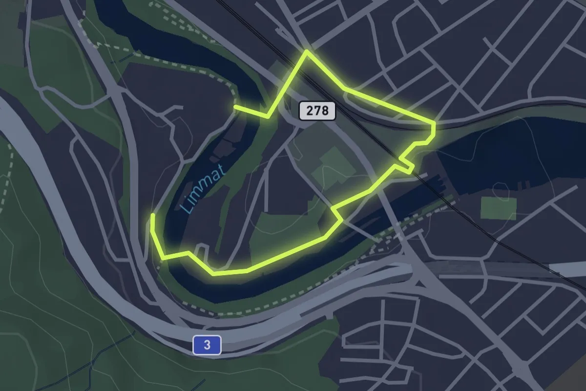
Easy · Trail
Industriekulturpfad
3.6 km · ↑ 42 m · 56 min
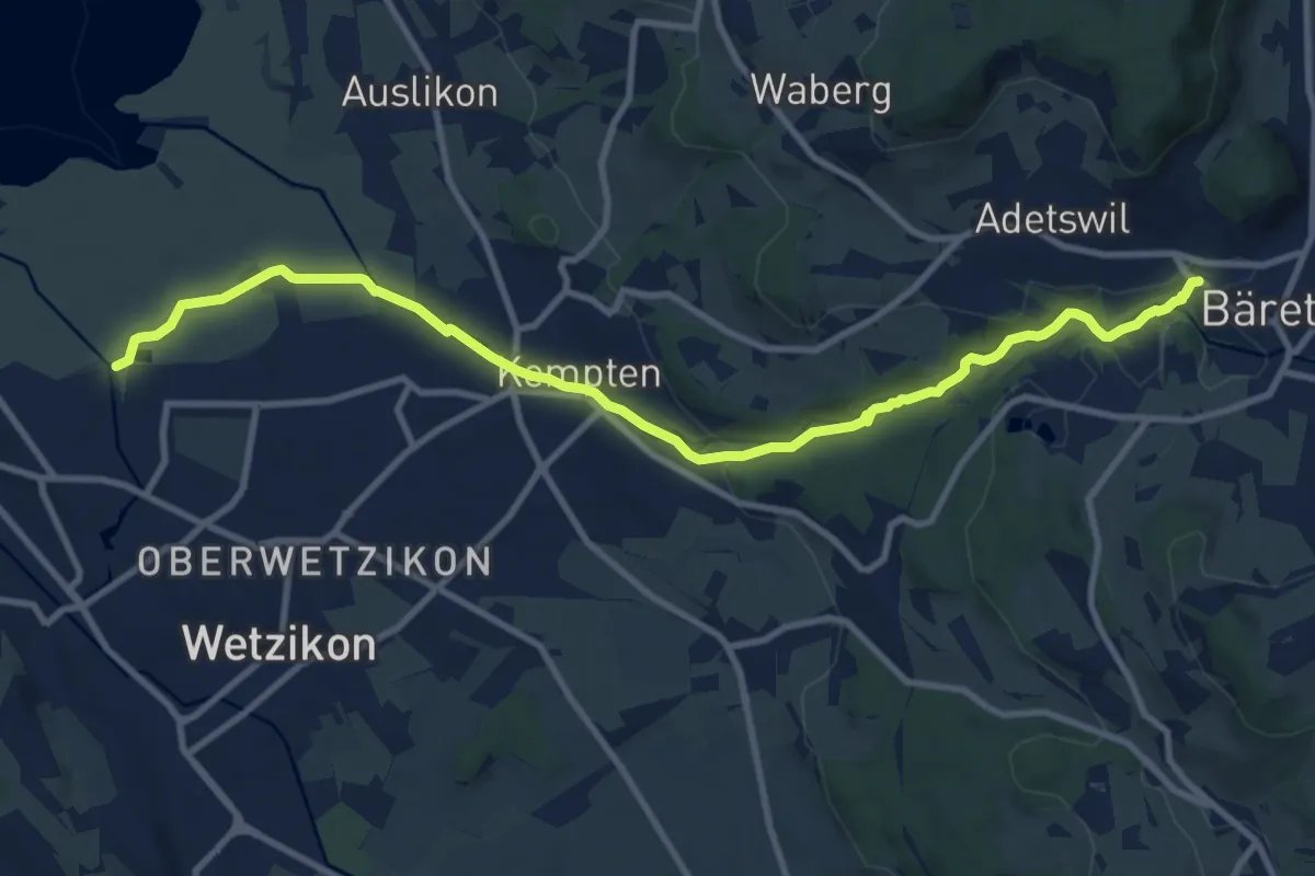
Medium · Trail
Industriepfad Zürcher Oberland
11.3 km · ↑ 163 m · 3 h 2 min
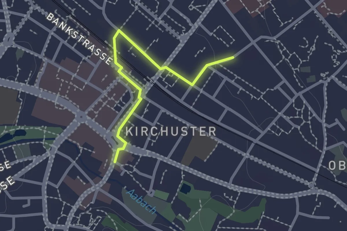
Easy · Trail
Industriepfad Zürcher Oberland - Abstecher Uster
2.0 km · ↑ 4 m · 29 min
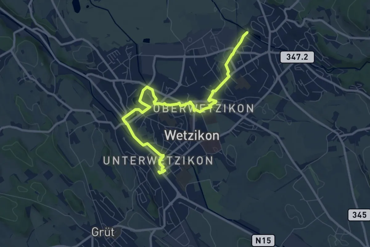
Medium · Trail
Industriepfad Zürcher Oberland - Stadtrundgang Wetzikon
9.3 km · ↑ 36 m · 2 h 17 min
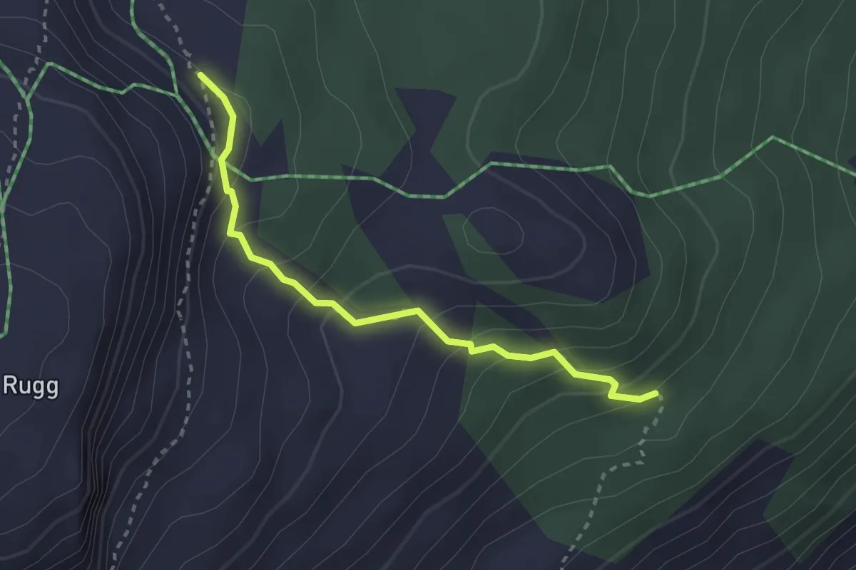
Medium · Trail
Inggadells - Galfer
2.6 km · ↑ 225 m · 1 h 6 min
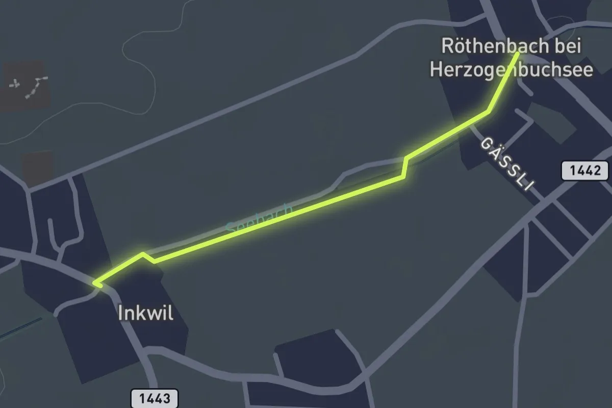
Easy · Trail
Inkwil - Röthenbach
2.0 km · ↑ 0 m · 28 min
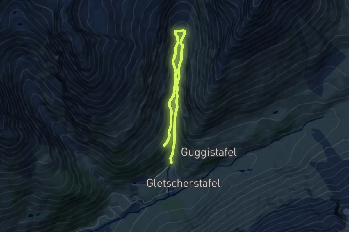
Expert · Trail
Inneres Faflertal
7.7 km · ↑ 577 m · 3 h 4 min
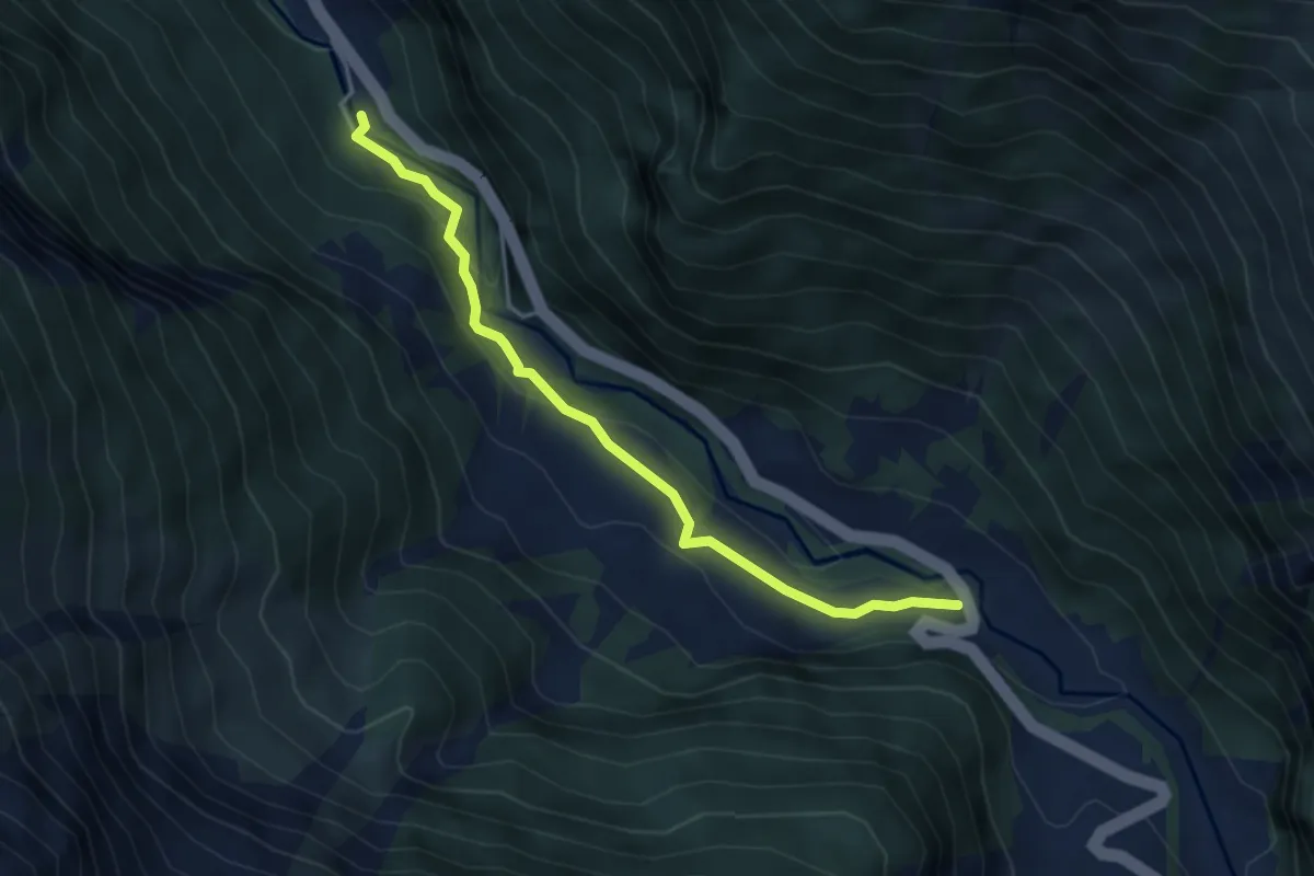
Easy · Trail
Innere Urweid - Boden
4.2 km · ↑ 181 m · 1 h 23 min
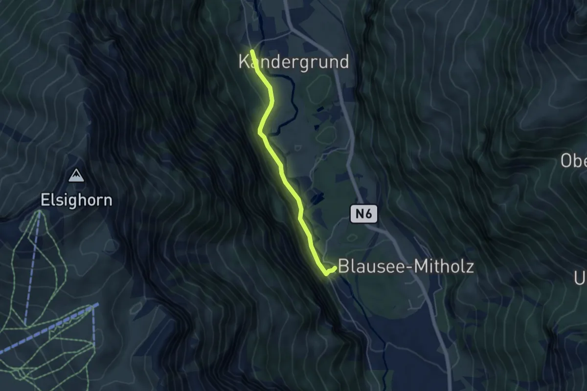
Easy · Trail
Inner Kandergrund - Blausee
4.1 km · ↑ 221 m · 1 h 27 min
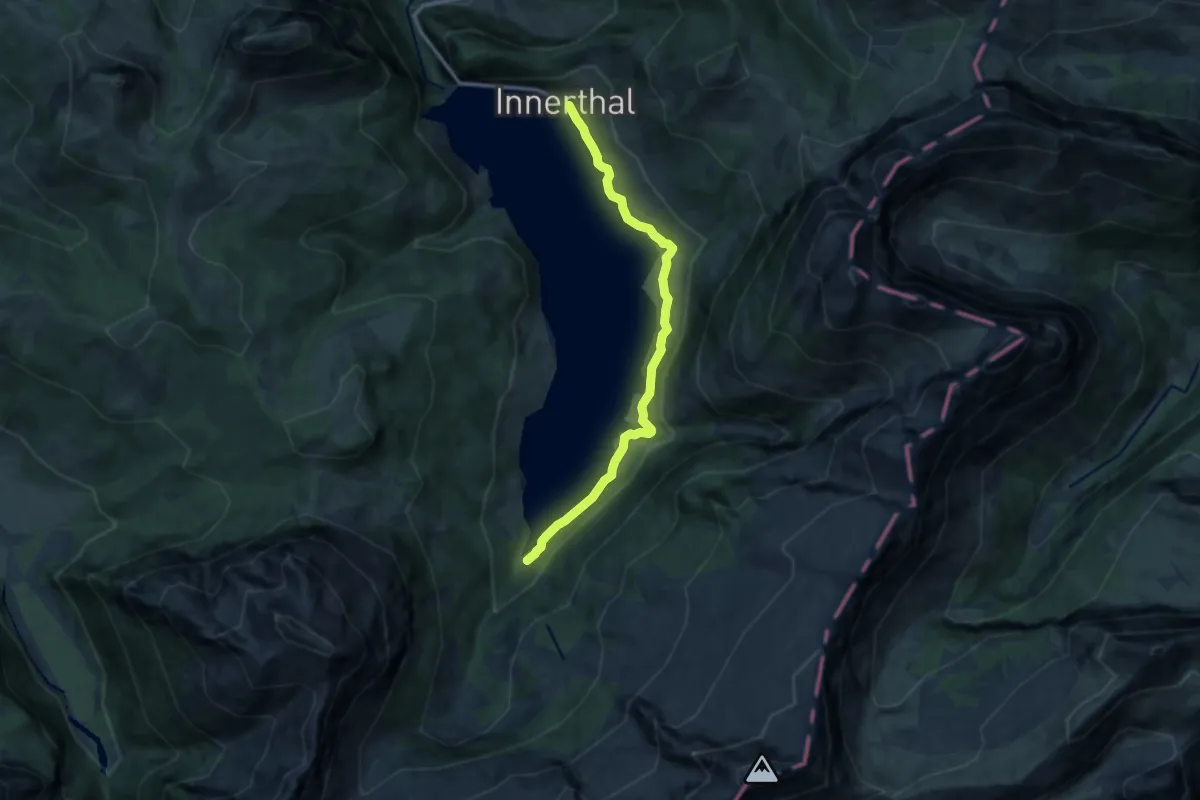
Medium · Trail
Innerthal - Hinter Bruch
11.0 km · ↑ 389 m · 3 h 27 min
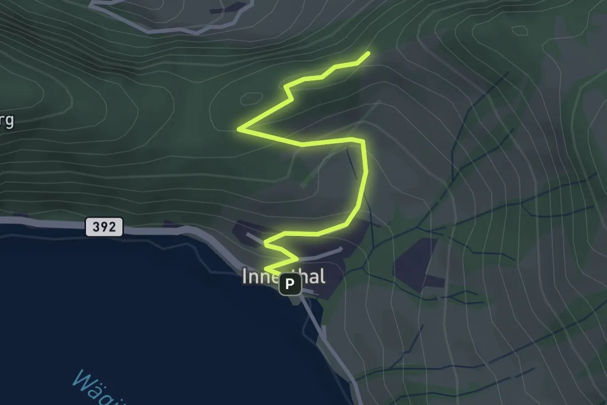
Easy · Trail
Innerthal - Ober Tritt
2.8 km · ↑ 179 m · 1 h 3 min
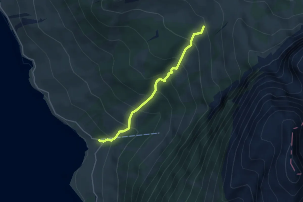
Medium · Trail
Innerthal - Schwarzenegg
3.2 km · ↑ 369 m · 1 h 33 min
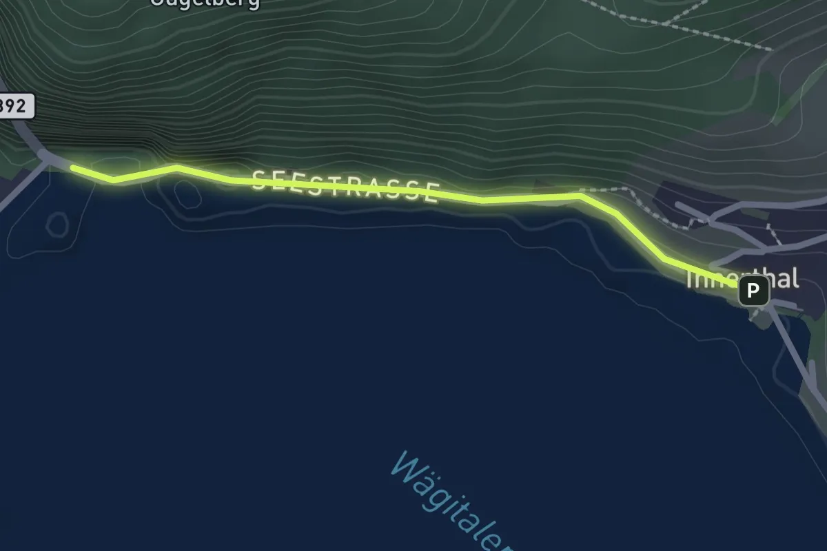
Easy · Trail
Innerthal - Staumauer
2.0 km · ↑ 46 m · 35 min