Trails in Switzerland
15,029 hiking trails, each with its route, climb, walking time and grade.
All trails, page 7 of 314
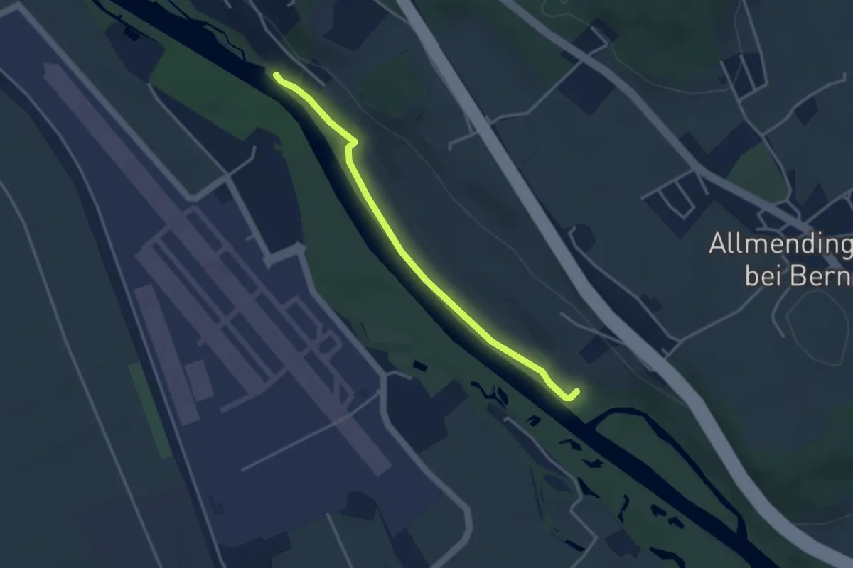
Easy · Trail
Auguetbrügg-Märchligenau
3.2 km · ↑ 35 m · 49 min
Easy · Trail
Auholz - Glattbrugg
3.5 km · ↑ 0 m · 49 min
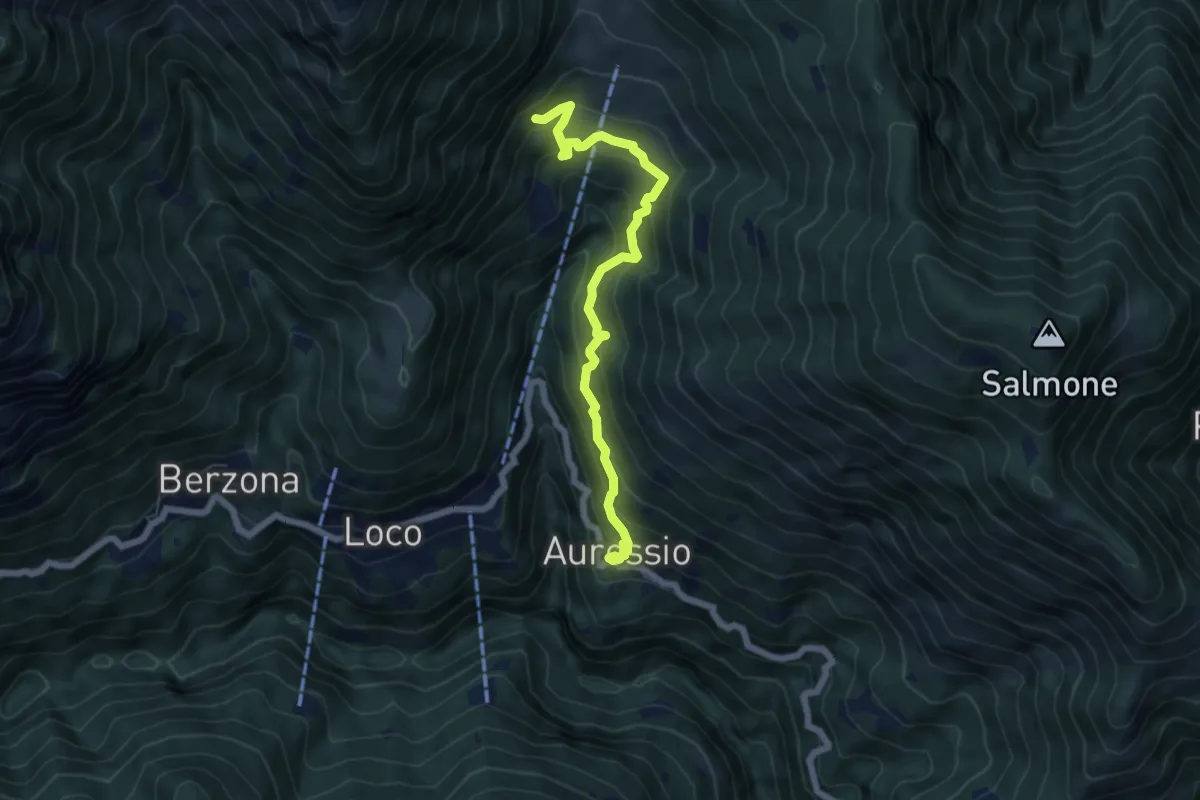
Medium · Trail
Auressio - Mulegn
6.1 km · ↑ 550 m · 2 h 38 min
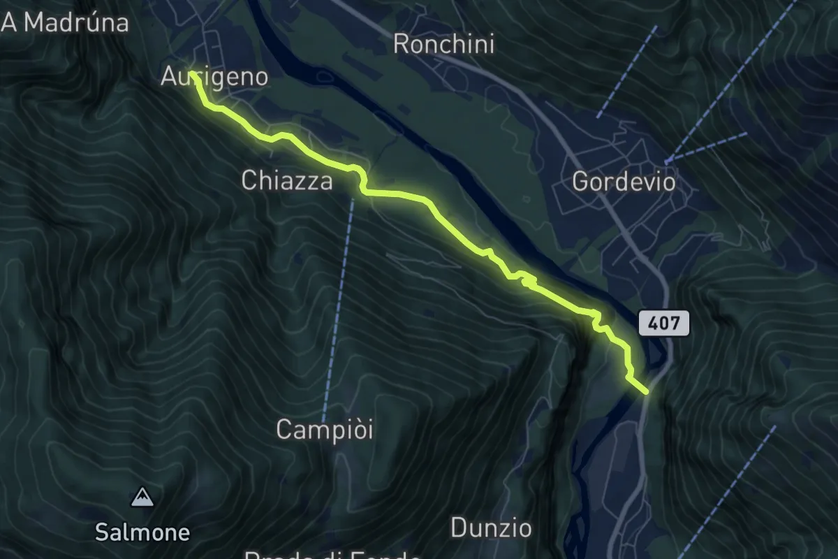
Medium · Trail
Aurigeno - Avegno
7.6 km · ↑ 402 m · 2 h 40 min
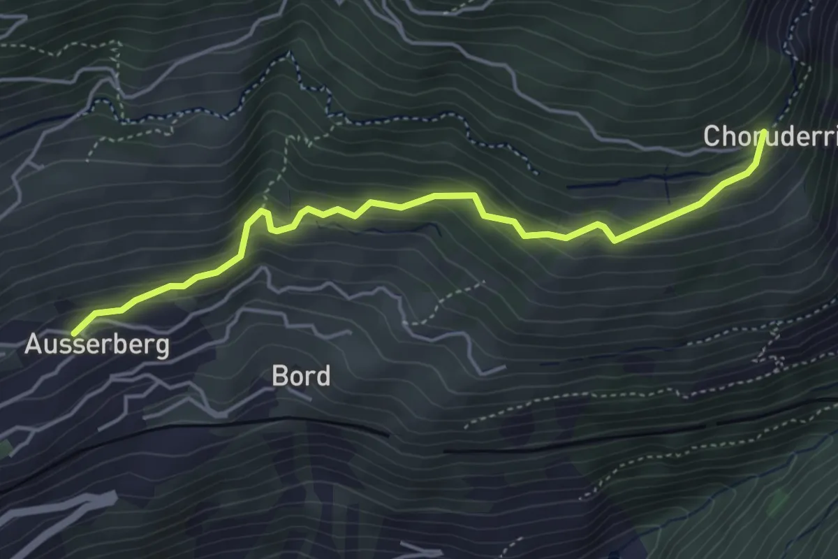
Easy · Trail
Ausserberg - Choruderri
4.4 km · ↑ 312 m · 1 h 43 min
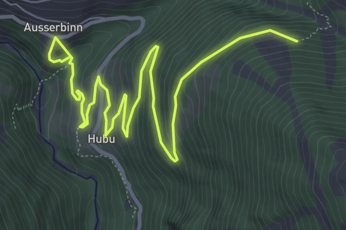
Demanding · Trail
Ausserbinn - Eggerhorn
8.5 km · ↑ 596 m · 3 h 18 min
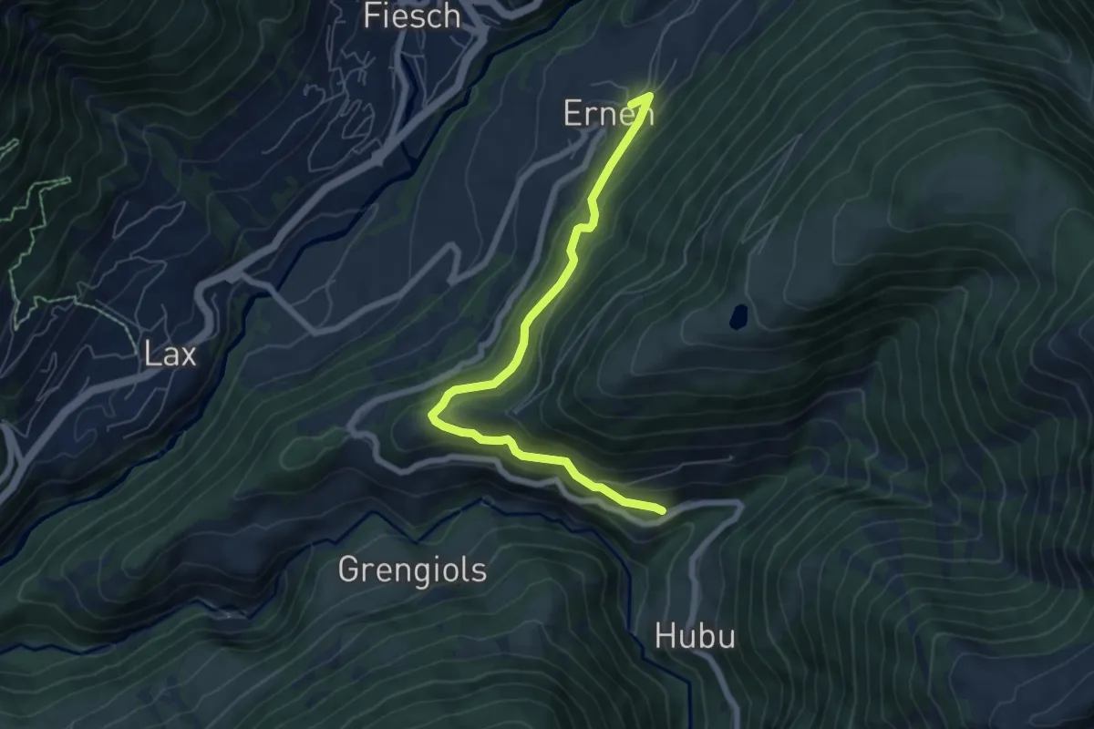
Medium · Trail
Ausserbinn-Ernen
6.5 km · ↑ 412 m · 2 h 26 min
Easy · Trail
Ausseregg - Oberdorf - fixme
2.0 km · ↑ 43 m · 34 min
Easy · Trail
Äusserer Schachen - Frauental
3.9 km · ↑ 21 m · 58 min
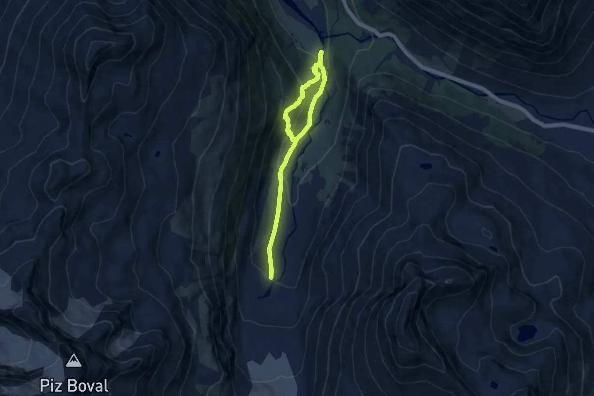
Medium · Trail
Aussichtsweg Morteratschgletscher
8.9 km · ↑ 436 m · 3 h 3 min
Easy · Trail
Aussichtsweg "obedöri"
6.9 km · ↑ 220 m · 2 h 6 min
Medium · Trail
? - Au? / Stein?
5.1 km · ↑ 447 m · 2 h 10 min
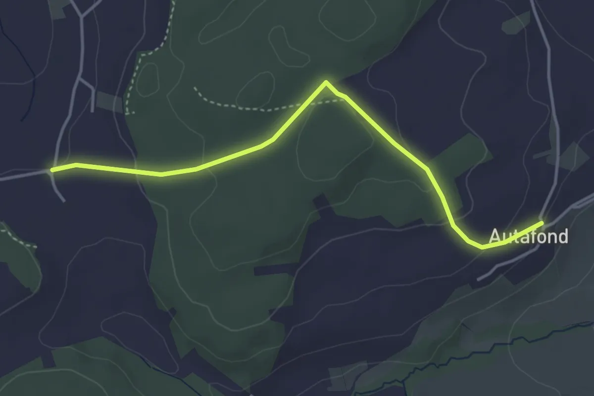
Easy · Trail
Autafond - Nierlet-les-Bois Pré de Chêne
4.1 km · ↑ 123 m · 1 h 13 min
Medium · Trail
Autis - Risleten
6.3 km · ↑ 329 m · 2 h 12 min
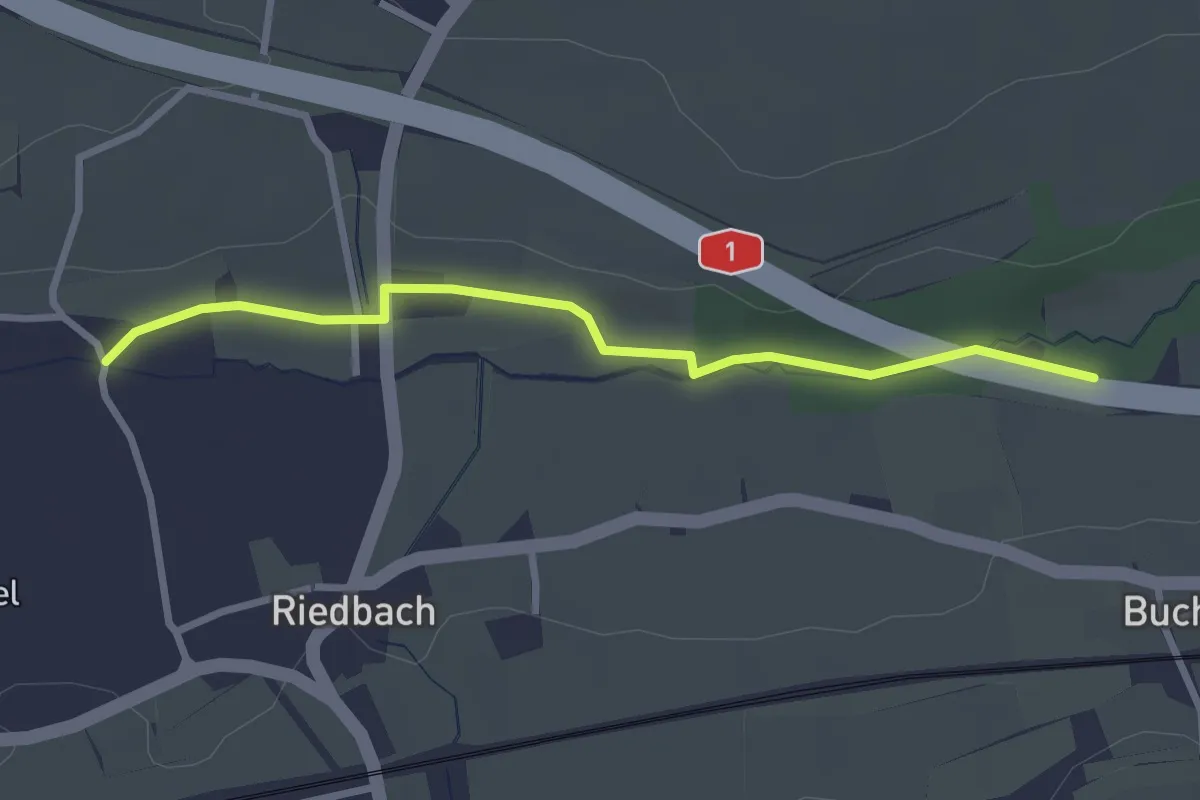
Easy · Trail
Autobahnviadukt - Riedbach/Mühle
2.8 km · ↑ 8 m · 41 min
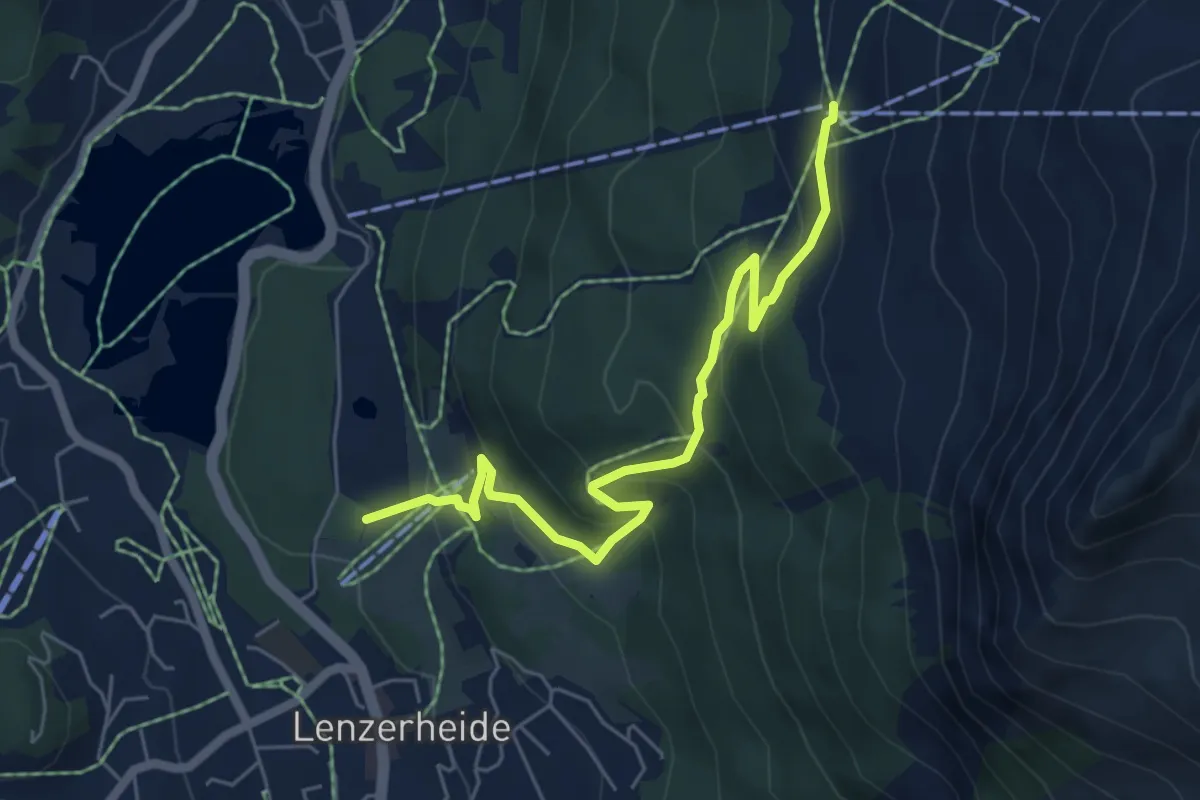
Medium · Trail
Autschliweg
6.0 km · ↑ 385 m · 2 h 15 min
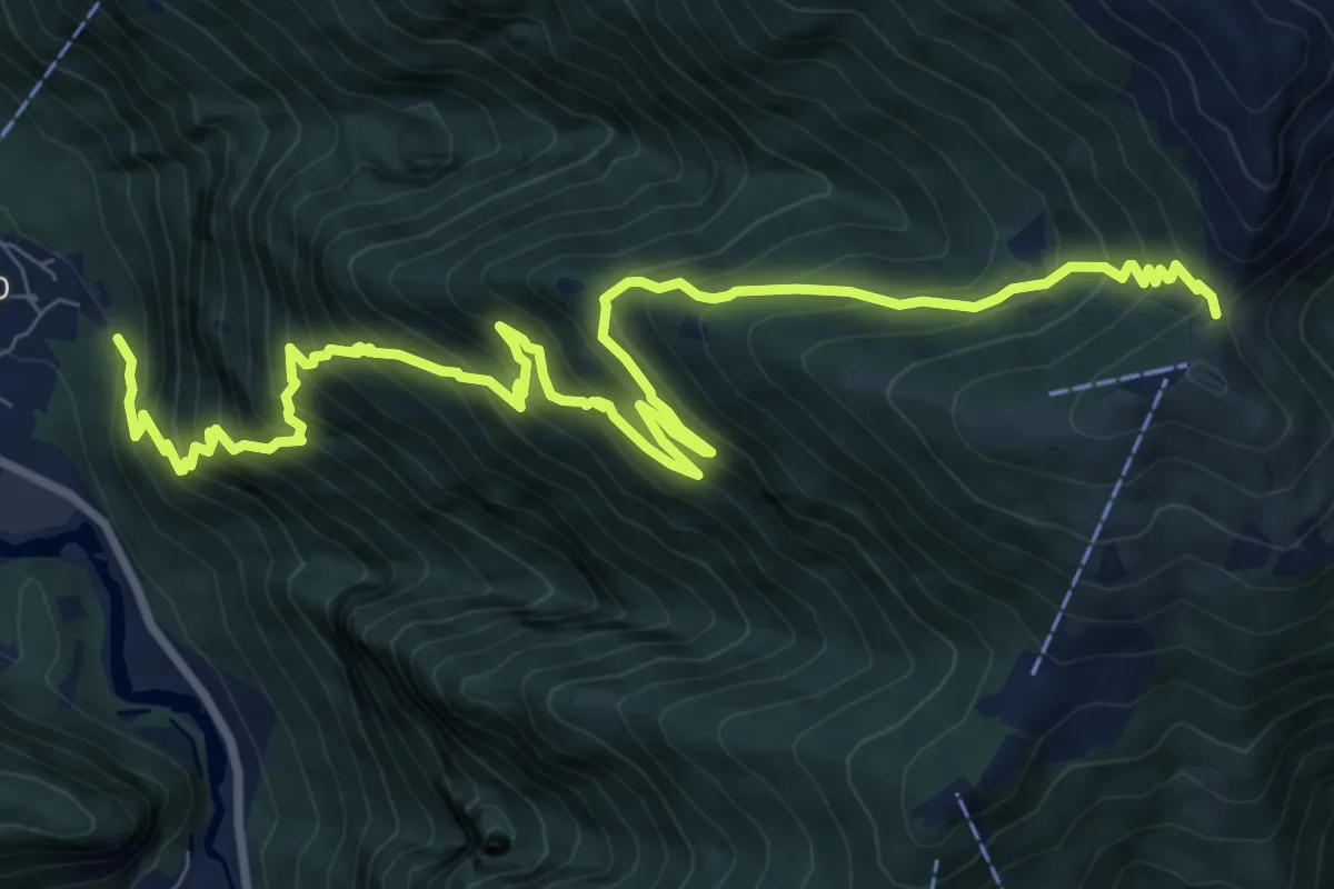
Demanding · Trail
Avegno Bassa di Cimetta
12.5 km · ↑ 1352 m · 5 h 52 min
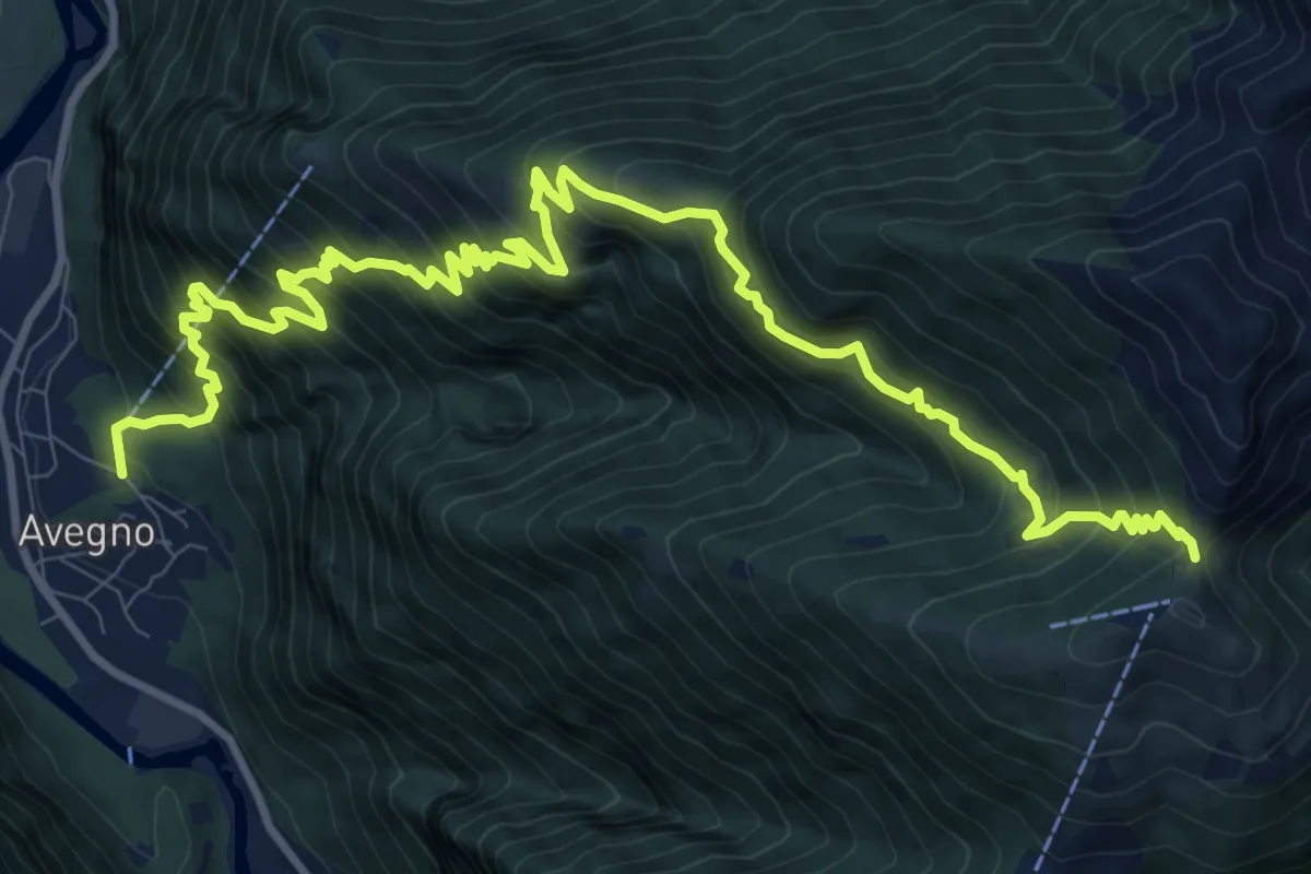
Demanding · Trail
Avegno Bassa di Cimetta
14.5 km · ↑ 1452 m · 6 h 33 min
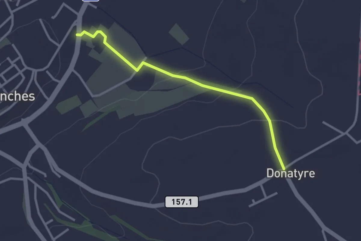
Easy · Trail
Avenches - Donatyre
2.6 km · ↑ 58 m · 44 min
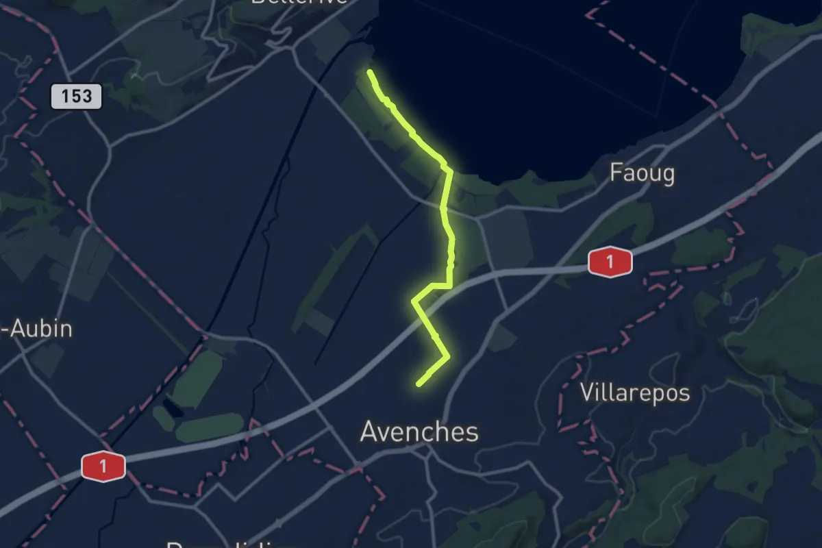
Medium · Trail
Avenches - fixme
9.1 km · ↑ 17 m · 2 h 11 min
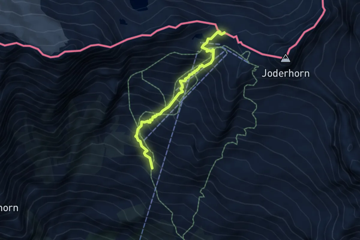
Demanding · Trail
B99 - Chiesa Vecchia, bivio B00 - Passo di Monte Moro
4.9 km · ↑ 605 m · 2 h 28 min
Easy · Trail
Baar-Baar SBB
3.0 km · ↑ 9 m · 43 min
Easy · Trail
Baarburg - Chriesibrunnen
3.8 km · ↑ 157 m · 1 h 14 min
Easy · Trail
Baarburg - Höll
3.3 km · ↑ 93 m · 59 min
Easy · Trail
Baar Dorfstrasse - Inwil
3.3 km · ↑ 17 m · 48 min
Easy · Trail
Baar - Höllgrotten
7.7 km · ↑ 130 m · 2 h 6 min
Easy · Trail
Baar SBB - Jöchler
3.3 km · ↑ 17 m · 49 min
Easy · Trail
Baar - Walterswil
6.6 km · ↑ 239 m · 2 h 5 min
Easy · Trail
Babeliplatz - Grossdietwil
5.3 km · ↑ 187 m · 1 h 40 min
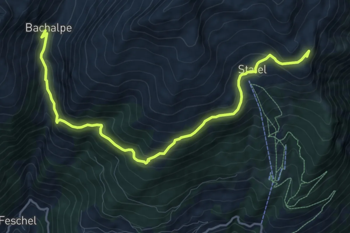
Medium · Summit
Bachalpe Obere Meiggu
12.4 km · ↑ 684 m · 4 h 25 min
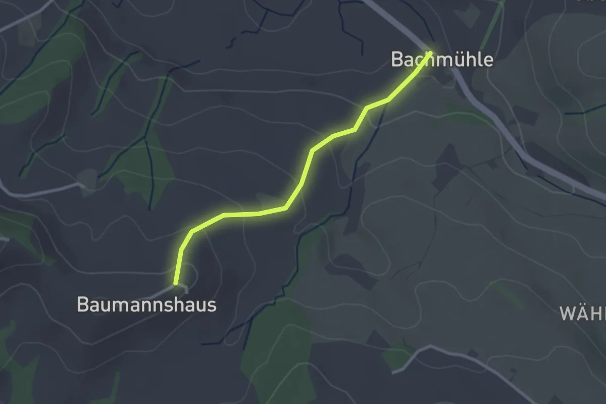
Easy · Trail
Bachmühle - Bumishus
2.4 km · ↑ 124 m · 51 min
Easy · Trail
Bachs - Egg
4.8 km · ↑ 96 m · 1 h 21 min
Easy · Trail
Bachs - Schöfflisdorfer Platte
5.3 km · ↑ 183 m · 1 h 38 min
Easy · Trail
Bachtalen - Büel
4.0 km · ↑ 48 m · 1 h 3 min
Easy · Trail
Bachtele - Chräbis
3.3 km · ↑ 56 m · 55 min
Easy · Trail
Bachtele - Riburg
3.3 km · ↑ 18 m · 49 min
Medium · Summit
Bachtel-Kulm
8.3 km · ↑ 358 m · 2 h 51 min
Easy · Summit
Bachtel-Spalt
4.8 km · ↑ 237 m · 1 h 43 min
Easy · Summit
Bachtelspalt - Tänler
3.3 km · ↑ 213 m · 1 h 15 min
Easy · Summit
Bachtelweiher
6.5 km · ↑ 306 m · 2 h 17 min
Medium · Trail
Baden - Anzflue
11.9 km · ↑ 394 m · 3 h 40 min
Demanding · Trail
Baden - Brücke Stilli
22.1 km · ↑ 175 m · 5 h 36 min
Easy · Trail
Badener Running Walking Trail Kurz
3.4 km · ↑ 15 m · 53 min
Medium · Summit
Badener Running Walking Trail Lang
11.2 km · ↑ 222 m · 3 h 17 min
Easy · Summit
Badener Running Walking Trail Mittel
7.5 km · ↑ 154 m · 2 h 13 min
Easy · Trail
Baden - Spittelau
7.4 km · ↑ 148 m · 2 h 4 min
Easy · Summit
Baden - Spittelau
5.5 km · ↑ 201 m · 1 h 45 min
Easy · Trail
Baden - Täferen
7.9 km · ↑ 115 m · 2 h 7 min