Trails in Switzerland
15,029 hiking trails, each with its route, climb, walking time and grade.
All trails, page 9 of 314
Medium · Trail
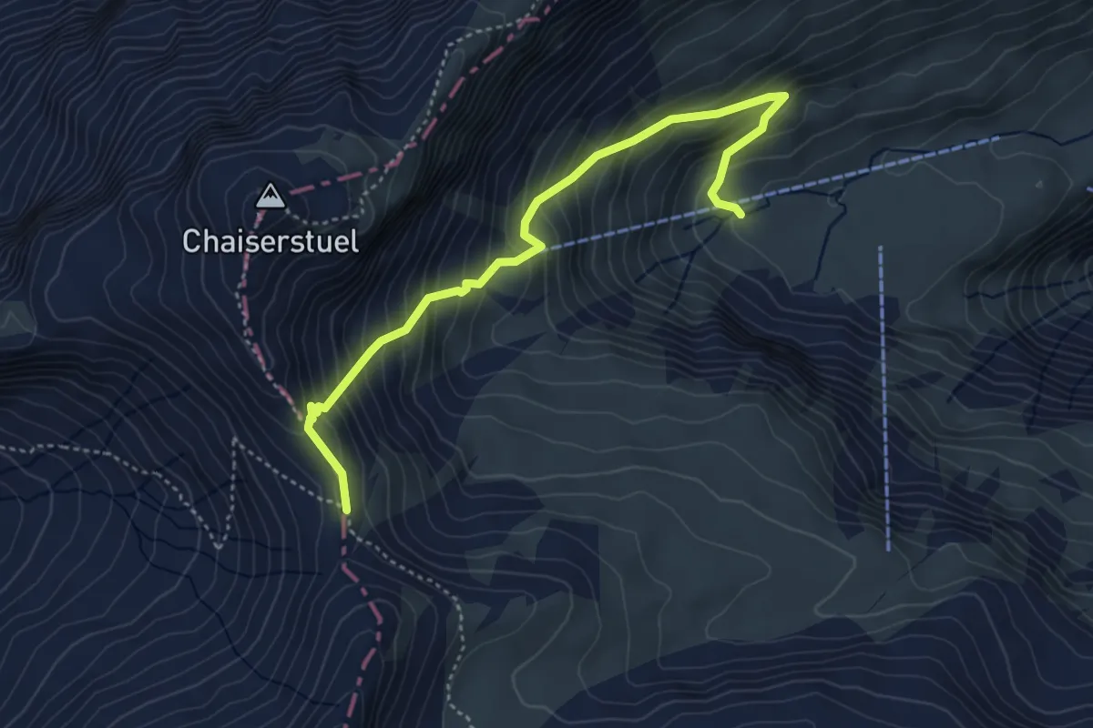
Bannalper Schonegg - Sankt Jakob
4.4 km · ↑ 520 m · 2 h 10 min
Medium · Trail
Bannegg - Herrenboden
2.5 km · ↑ 264 m · 1 h 10 min
Medium · Summit
Bannegg - Hochstückli
2.1 km · ↑ 168 m · 51 min
Medium · Trail
Bannegg - Mäderen
5.6 km · ↑ 320 m · 2 h 1 min
Easy · Summit
Bannholz - Farneralp
3.0 km · ↑ 240 m · 1 h 14 min
Easy · Trail
Bannwil - Aarwangen / Schloss
4.4 km · ↑ 51 m · 1 h 9 min
Easy · Trail
Bannwil Bahnhof-Schürhof Aarwangen
2.7 km · ↑ 18 m · 40 min
Easy · Trail
Bannwil - Bannwil / Niderfeld
3.3 km · ↑ 41 m · 53 min
Easy · Trail
Bannwil Kraftwerk -Berkenbrücke
4.2 km · ↑ 29 m · 1 h 3 min
Easy · Trail
Bannwil Kraftwerk -Berkenbrücke
4.2 km · ↑ 29 m · 1 h 3 min
Medium · Trail
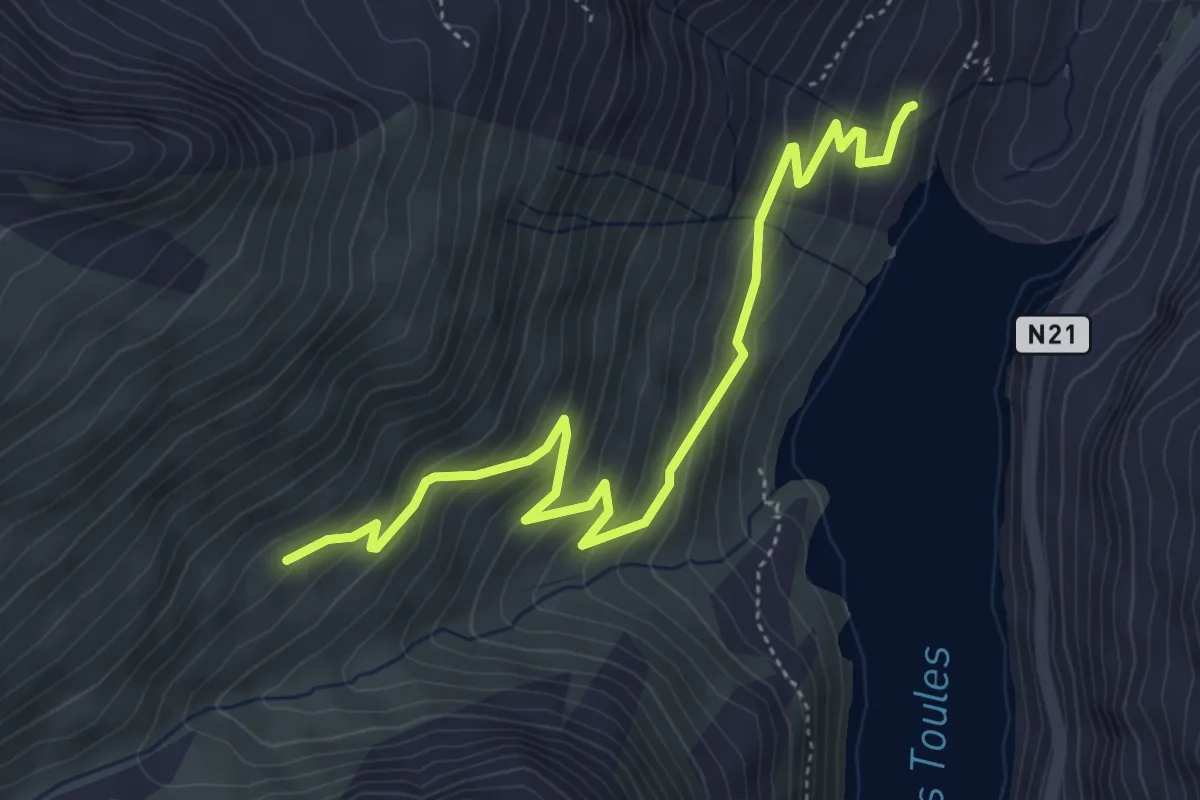
Barage des Toules > Fournoutze
5.4 km · ↑ 404 m · 2 h 9 min
Medium · Trail
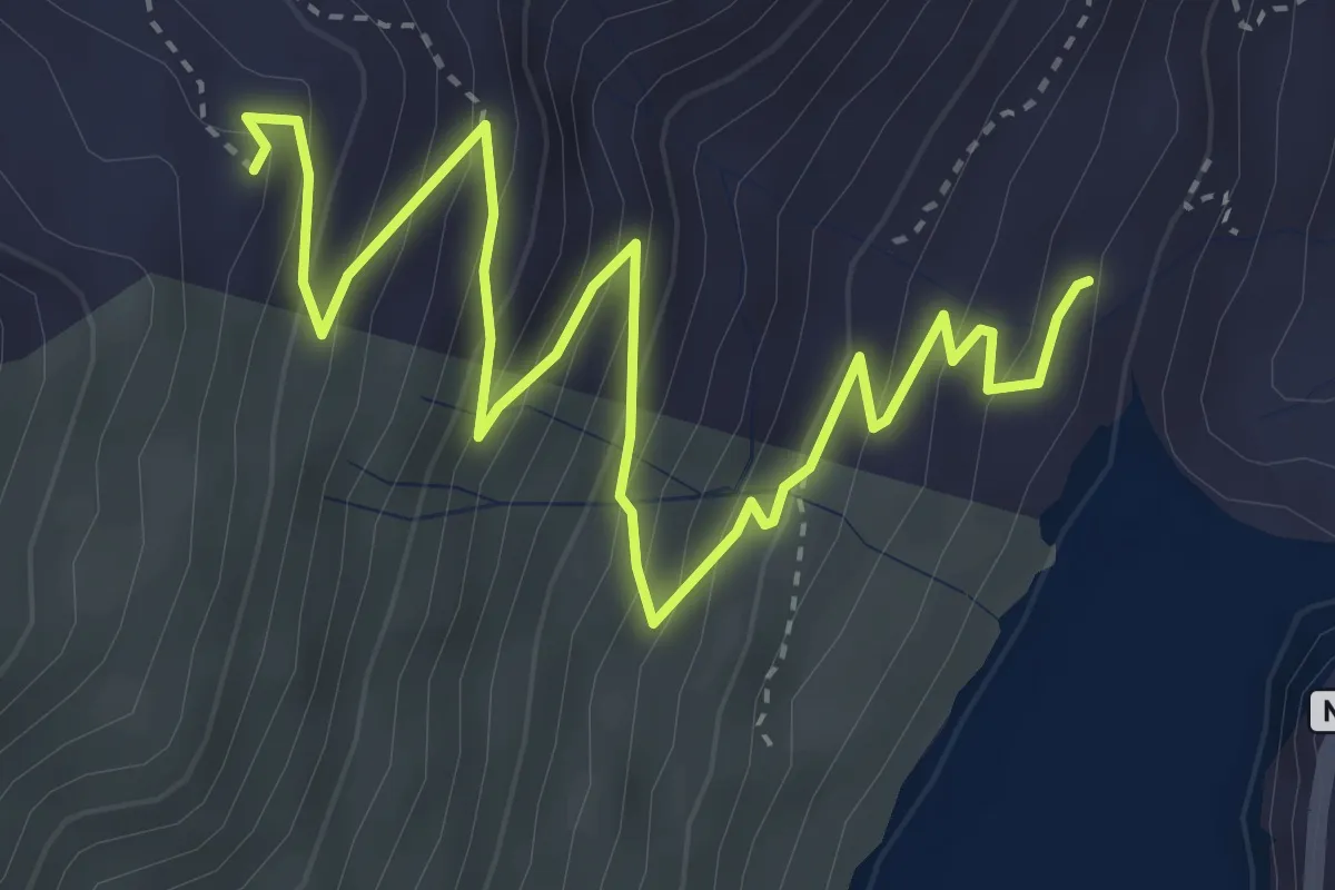
Barage des Toules > L'Emmena
5.0 km · ↑ 414 m · 2 h 5 min
Easy · Trail
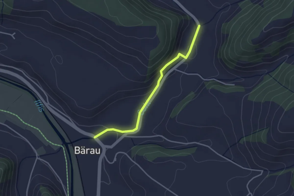
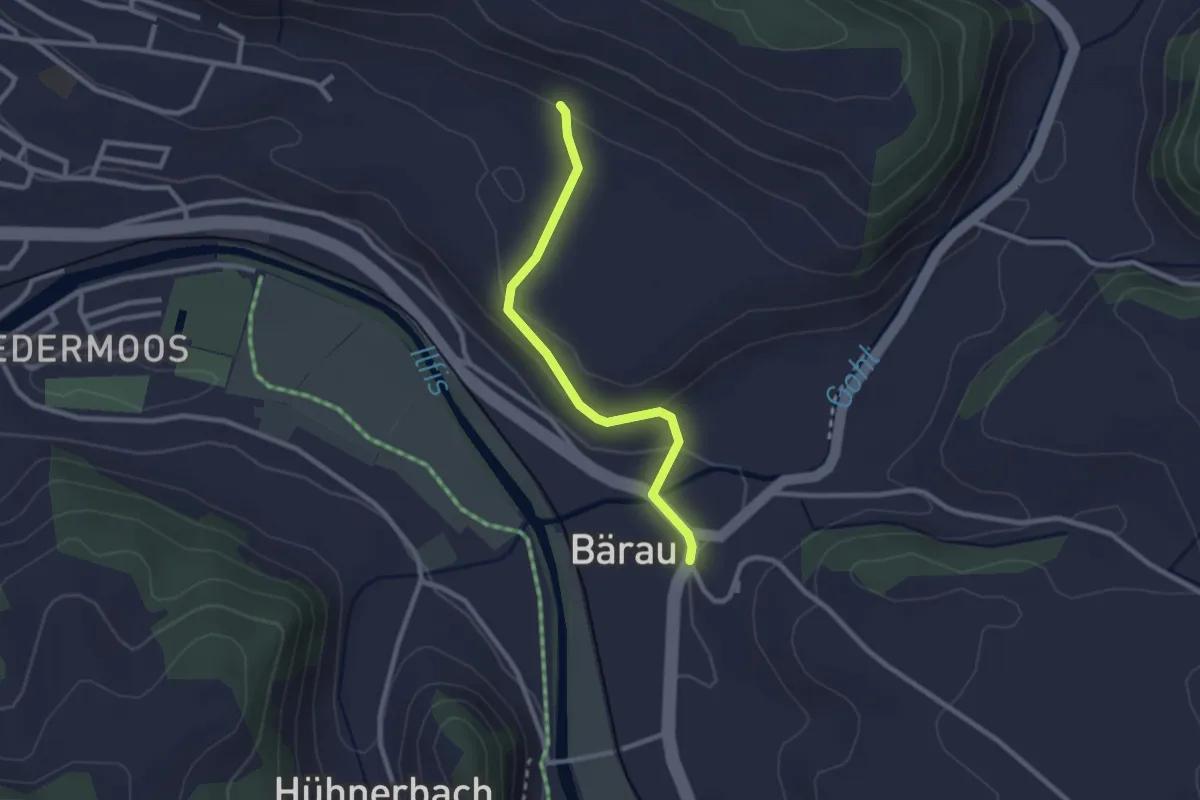
Bärau - Chemmershus
2.8 km · ↑ 102 m · 53 min
Easy · Trail
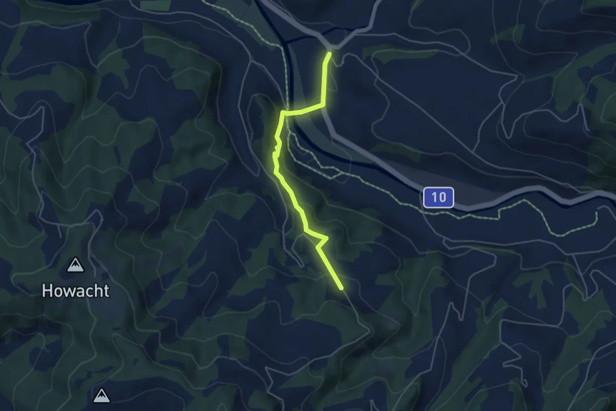
Bärau - Giebel
2.4 km · ↑ 74 m · 44 min
Easy · Trail
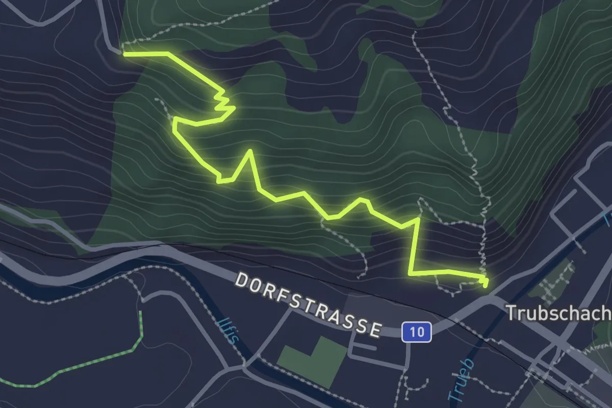
Bärau - Mittler Stärberg
4.2 km · ↑ 174 m · 1 h 22 min
Medium · Trail
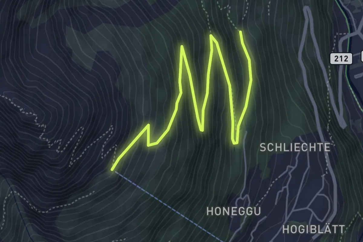
Bäregghöchi - Trubschachen
3.1 km · ↑ 348 m · 1 h 29 min
Medium · Trail
Bärenfalle - Hannig
7.6 km · ↑ 440 m · 2 h 45 min
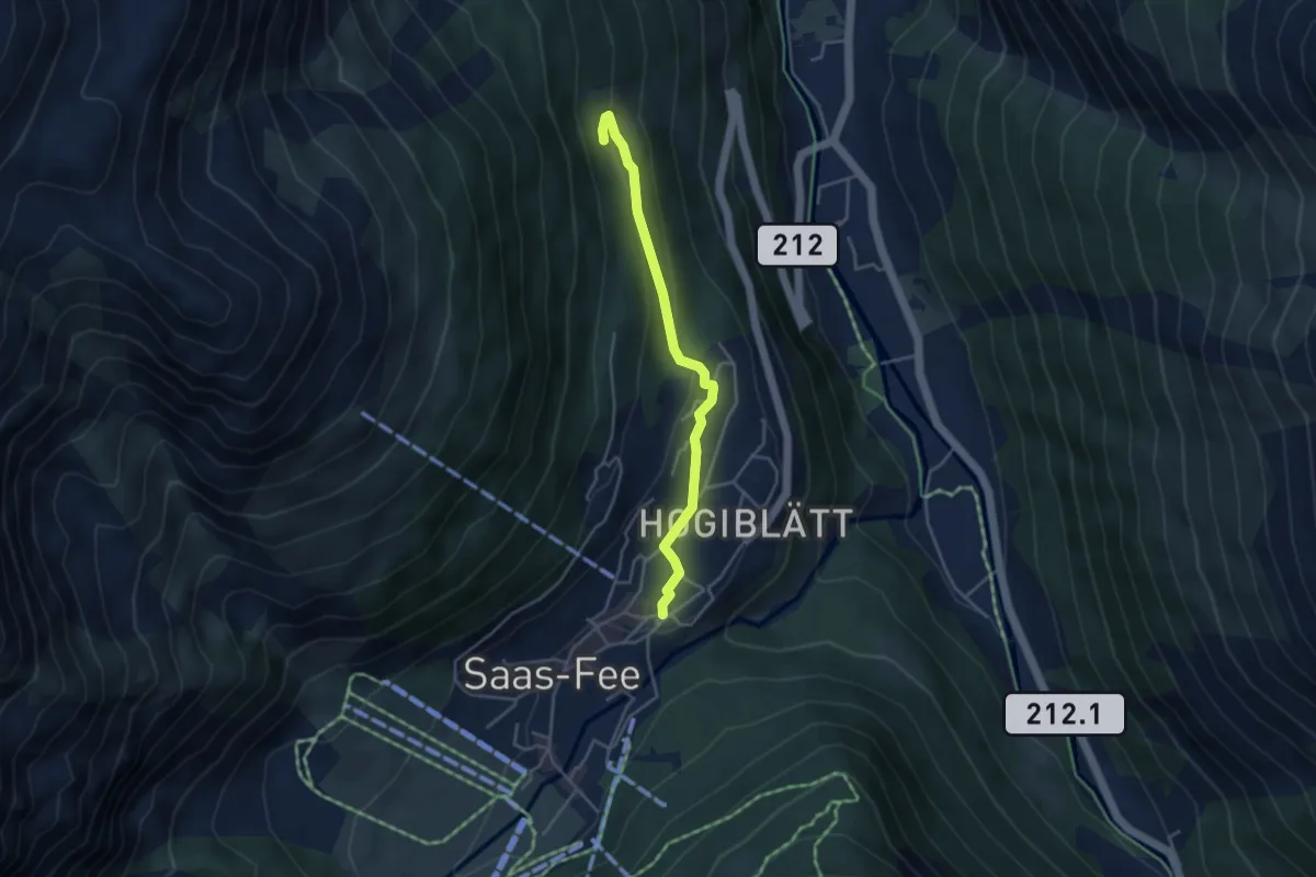
Easy · Trail
Bärenfalle-Saas-Fee Post
3.8 km · ↑ 120 m · 1 h 10 min
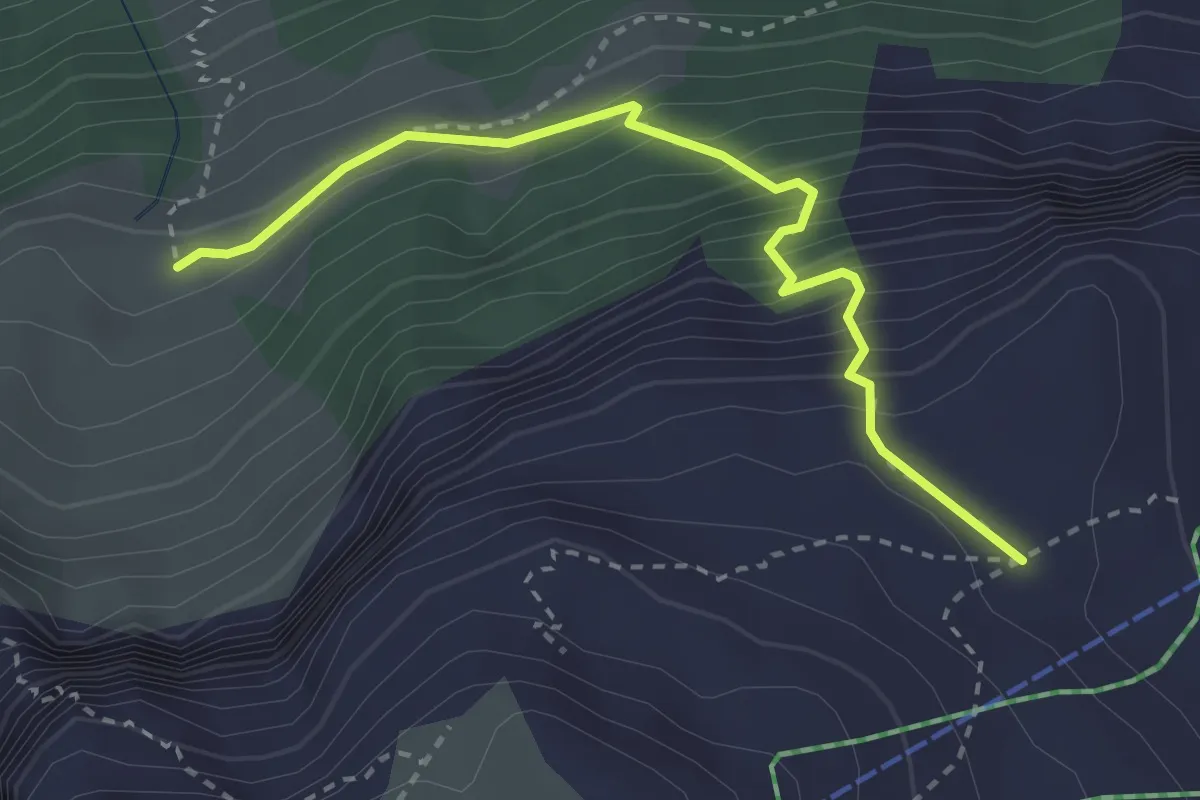
Medium · Trail
Bärentros
2.9 km · ↑ 392 m · 1 h 33 min
Medium · Trail
Bärenwil - fixme
2.9 km · ↑ 172 m · 1 h 4 min
Easy · Trail
Bärenwil - Holderbank
5.9 km · ↑ 141 m · 1 h 42 min
Easy · Trail
Bäretswil - Greifenberg - Hinterburg
5.6 km · ↑ 293 m · 1 h 58 min
Easy · Trail
Bäretswil - Rüetswil - Hinterburg
4.8 km · ↑ 135 m · 1 h 25 min
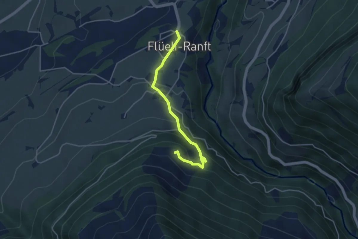
Easy · Trail
Barfeld - Flüeli Ranft
3.3 km · ↑ 216 m · 1 h 14 min
Medium · Trail
Barfussweg
9.5 km · ↑ 84 m · 2 h 25 min
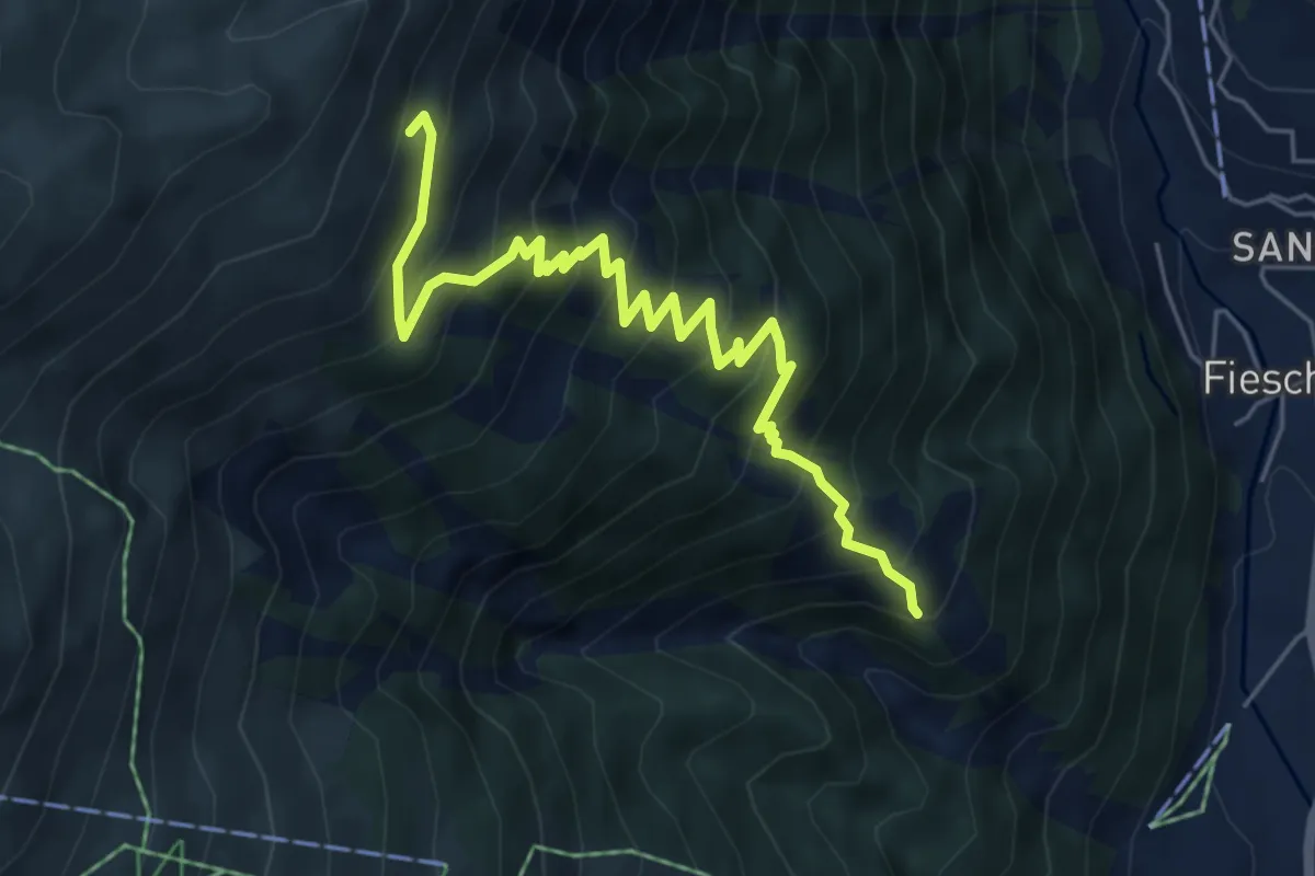
Medium · Trail
Bärg - Fiescheralp
6.2 km · ↑ 700 m · 2 h 59 min
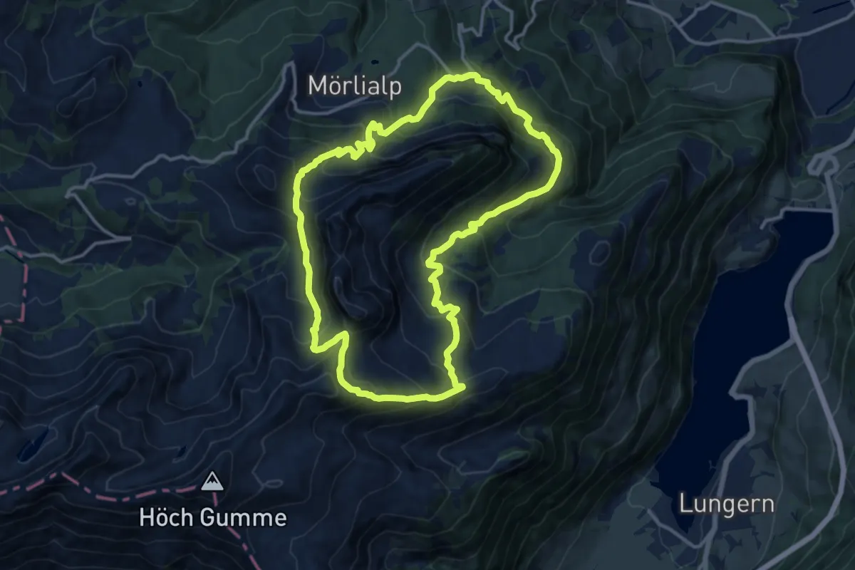
Demanding · Summit
Bärgmandlipfad Giswil
12.5 km · ↑ 873 m · 5 h 1 min
Easy · Trail
Bärnhof - Ober Waligen
3.8 km · ↑ 42 m · 59 min
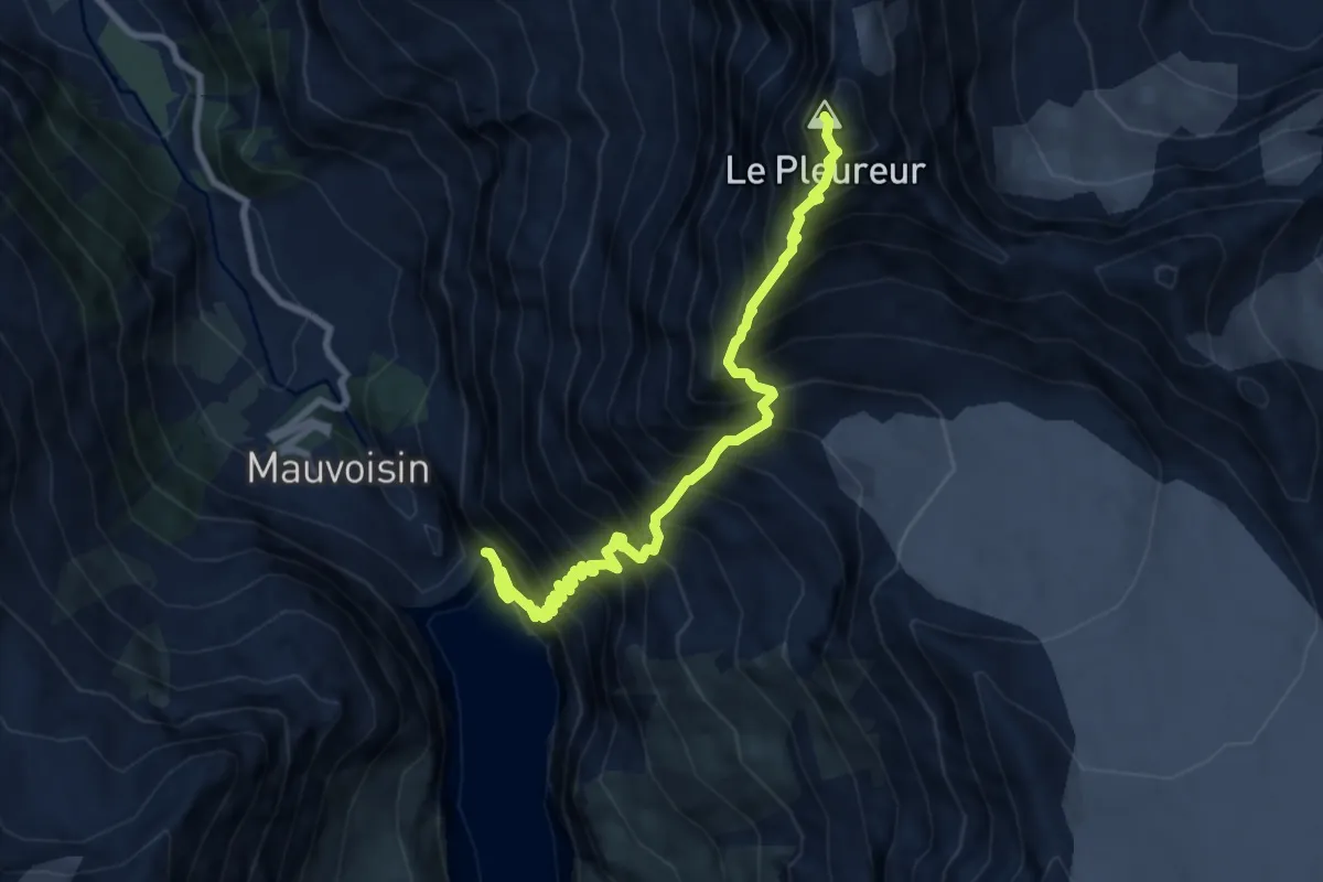
Expert · Summit
Barrage de Mauvoisin - Le Pleureur
9.1 km · ↑ 1979 m · 6 h 26 min
Easy · Trail
Bärtiswil - Obmoos
3.5 km · ↑ 23 m · 53 min
Easy · Trail
Bärtiswil - Rothenburg
2.2 km · ↑ 24 m · 34 min
Easy · Trail
Barz Fähre - Bad Zurzach
4.7 km · ↑ 20 m · 1 h 9 min
Easy · Trail
Barz Fähre - fixme
5.9 km · ↑ 9 m · 1 h 25 min
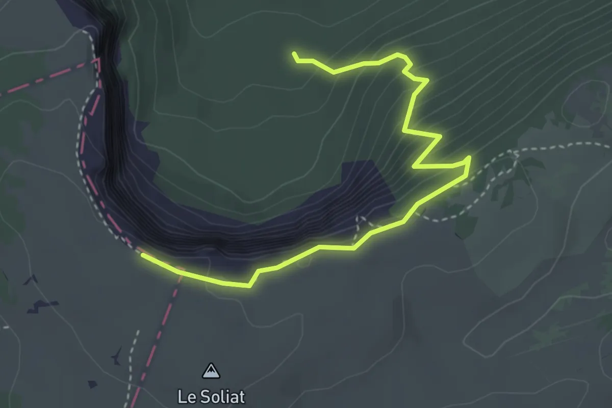
Medium · Trail
Bas du Single - Le Soliat Cirque Creux du Van
3.9 km · ↑ 383 m · 1 h 45 min
Demanding · Trail
Baselbieter Chirsiweg
20.9 km · ↑ 521 m · 6 h 3 min
Medium · Trail
Baselbieter Wiesentouren
15.3 km · ↑ 638 m · 5 h
Medium · Trail
Basler Jubiläumsweg
8.9 km · ↑ 42 m · 2 h 11 min
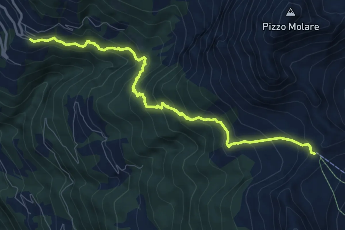
Medium · Cabin
Bassa di Nara Molare
8.8 km · ↑ 730 m · 3 h 40 min
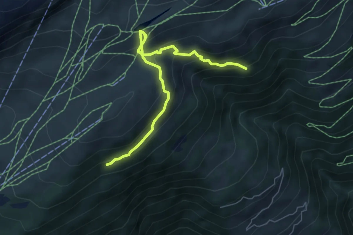
Medium · Trail
Bättmer-Hitta
5.5 km · ↑ 425 m · 2 h 13 min
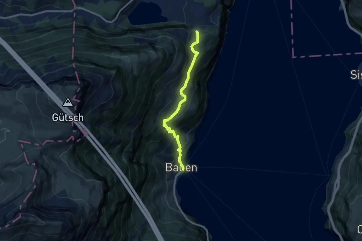
Medium · Trail
Bauen-Schloss Beroldingen
6.1 km · ↑ 526 m · 2 h 34 min
Medium · Summit
Bauma Bhf. - Sternenberg
9.2 km · ↑ 478 m · 3 h 13 min
Easy · Summit
Bauma - Hohenegg
6.0 km · ↑ 310 m · 2 h 5 min
Easy · Trail
Bäumli – Winterthur Grüze
2.3 km · ↑ 72 m · 42 min
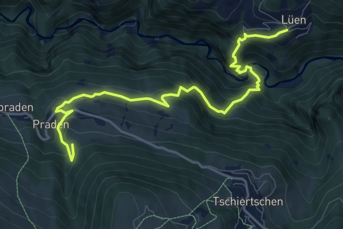
Medium · Trail
BAW Bündner Wanderwege (um Praden)
9.8 km · ↑ 729 m · 3 h 53 min
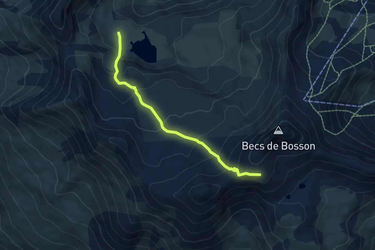
Medium · Cabin
Becs de Bosson - Le Louché Lac
5.1 km · ↑ 405 m · 2 h 5 min
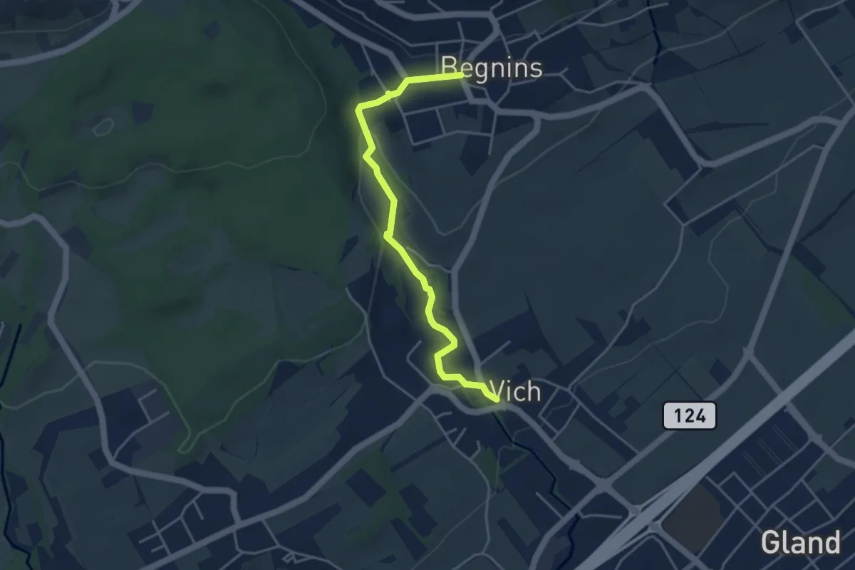
Easy · Trail
Begnins - Vich
4.0 km · ↑ 84 m · 1 h 8 min
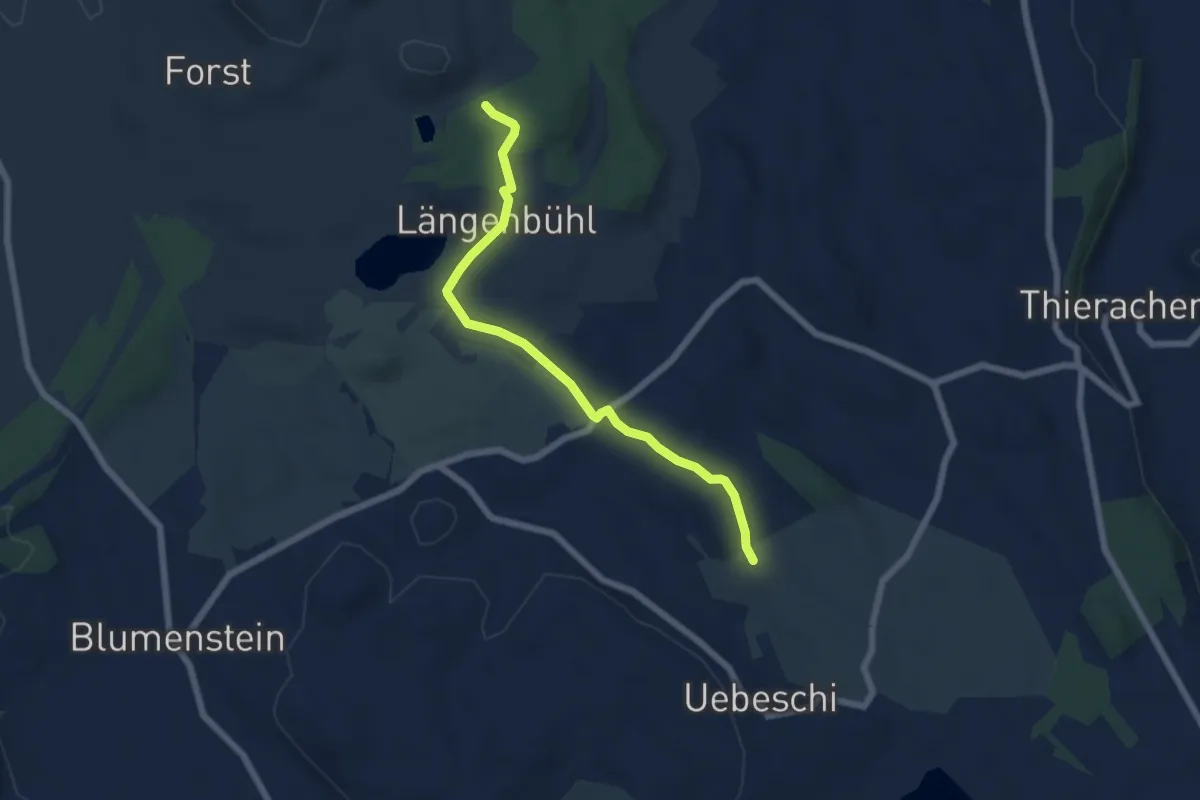
Easy · Trail
Beim Wald - NN Wegweiser
5.9 km · ↑ 53 m · 1 h 31 min
Easy · Trail
Beinwil am See - Breitholz
5.4 km · ↑ 111 m · 1 h 31 min