Trails in Taiwan
613 hiking trails, each with its route, climb, walking time and grade.
All trails, page 10 of 13
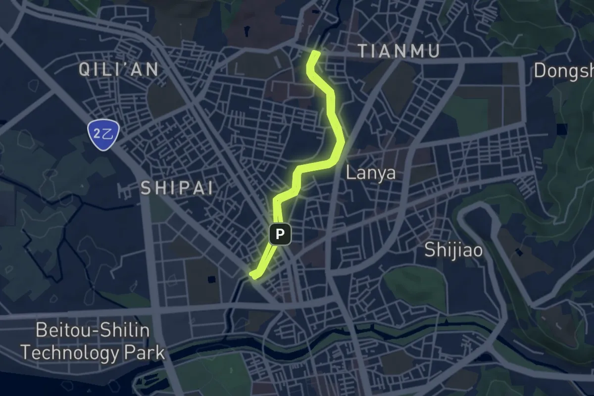
Easy · Trail
磺溪彩虹健康步道
4.1 km · ↑ 37 m · 1 h 7 min
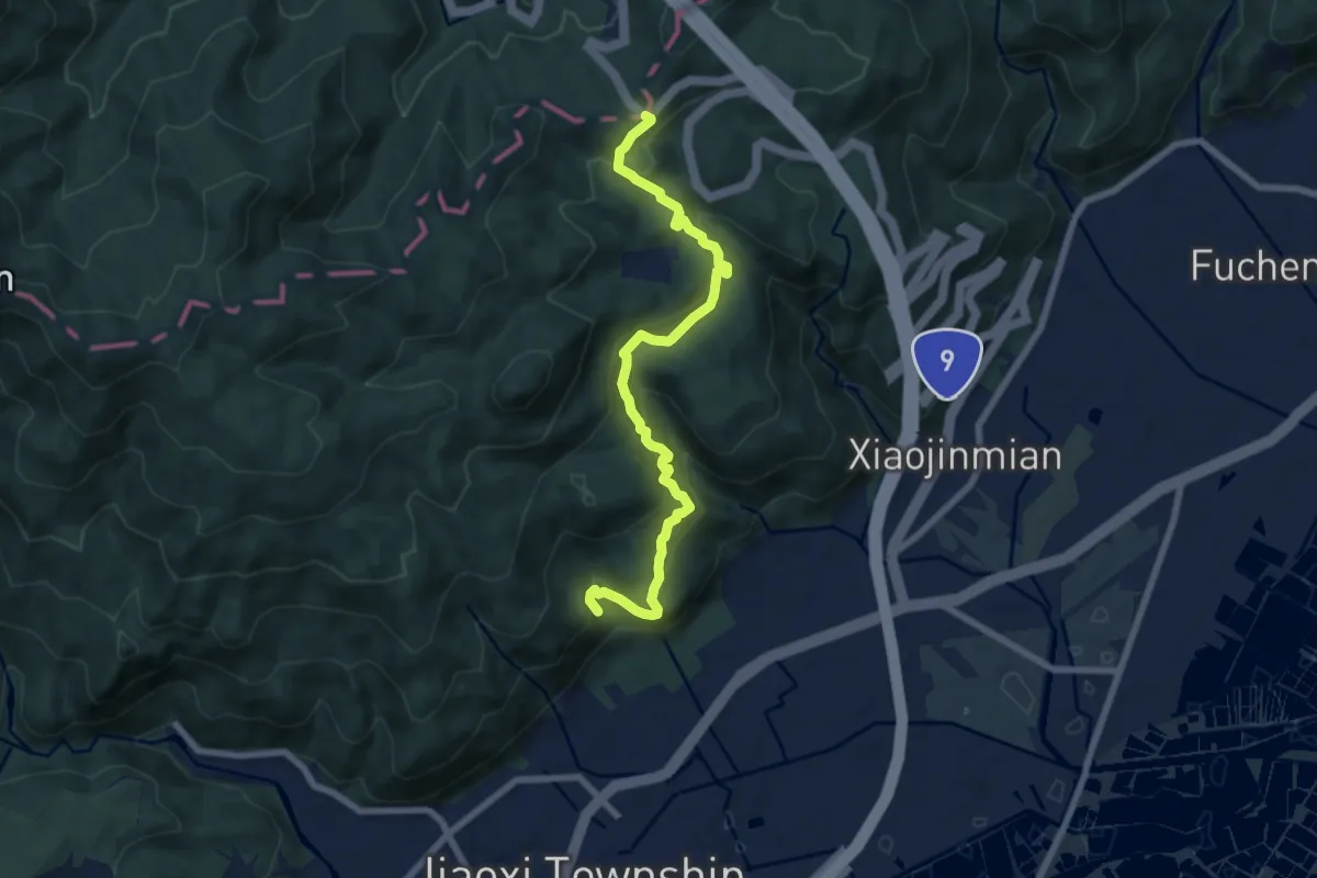
Medium · Trail
礁溪跑馬古道
10.0 km · ↑ 710 m · 3 h 54 min
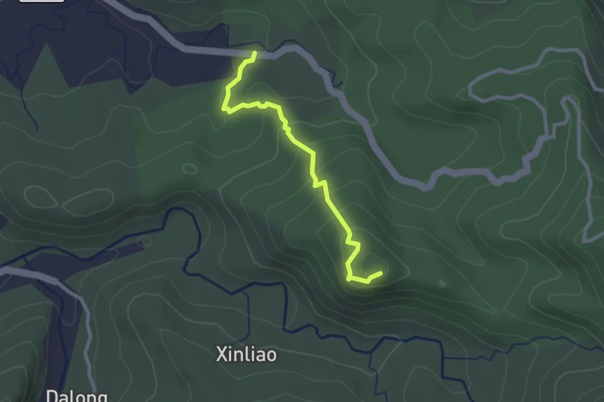
Easy · Summit
社口林場步道
2.8 km · ↑ 164 m · 1 h 2 min
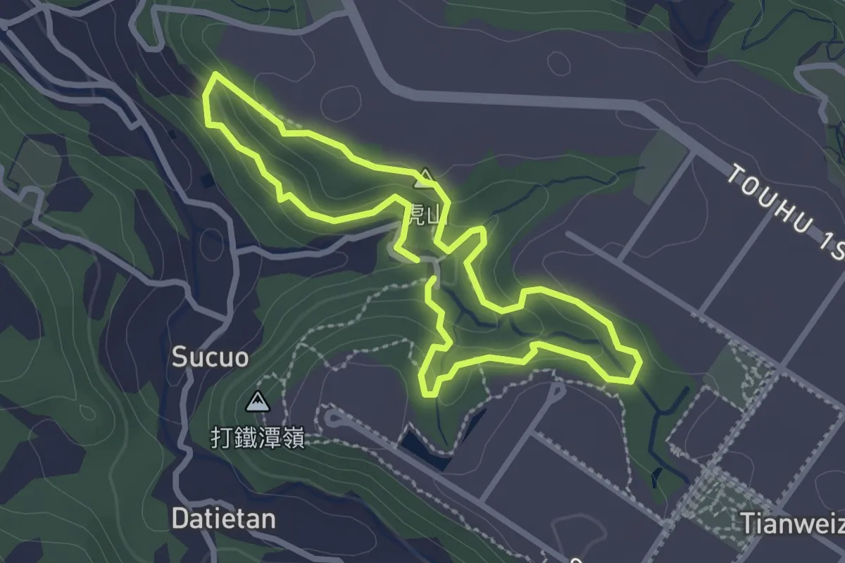
Easy · Summit
祖師巖登山步道
2.9 km · ↑ 110 m · 57 min
Demanding · Trail
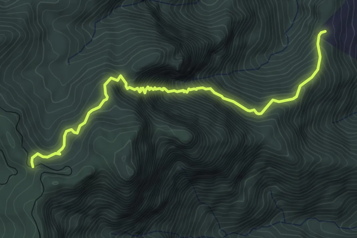
神阿古道
7.6 km · ↑ 874 m · 3 h 42 min
Easy · Trail
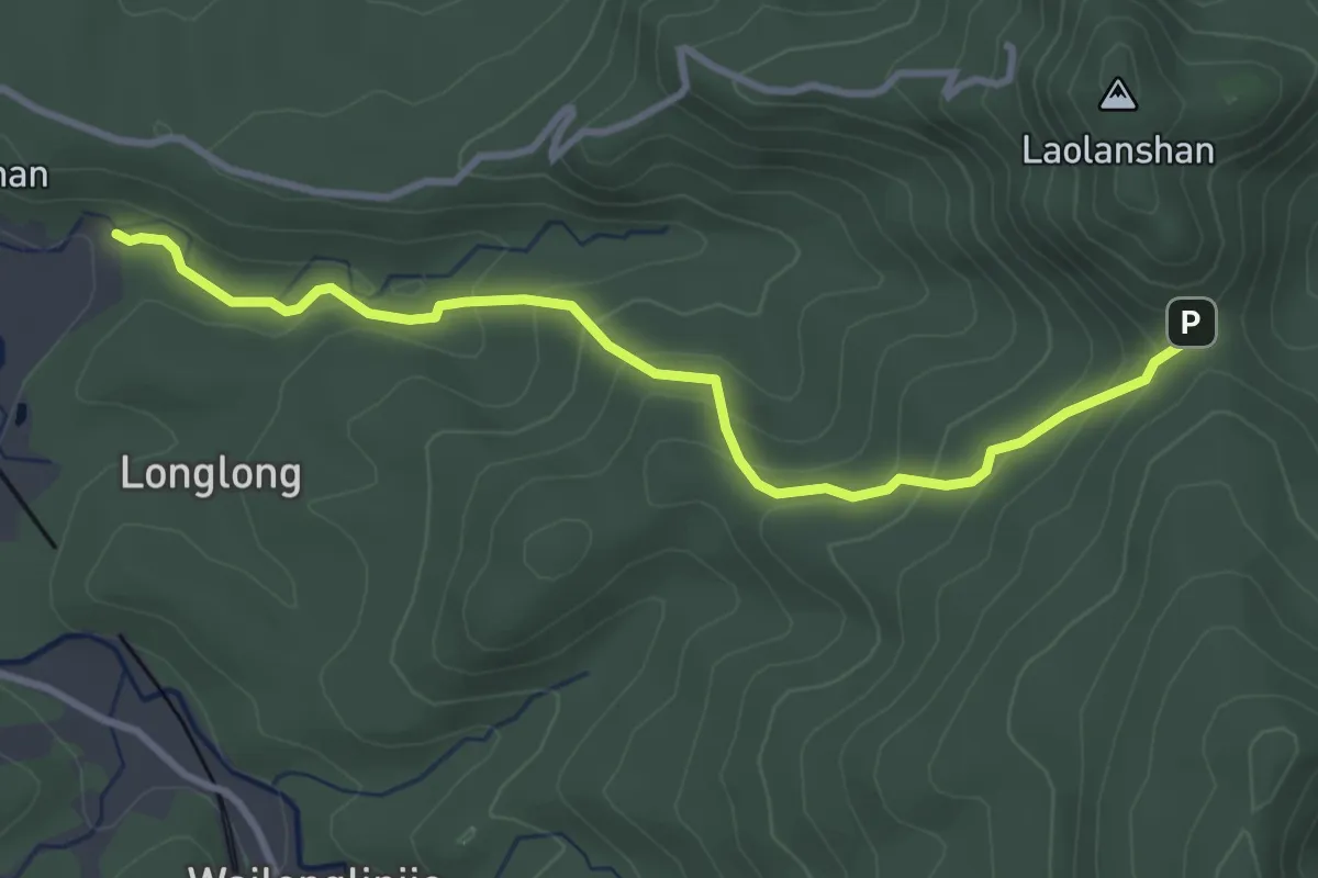
福卯古道
4.6 km · ↑ 257 m · 1 h 38 min
Medium · Trail
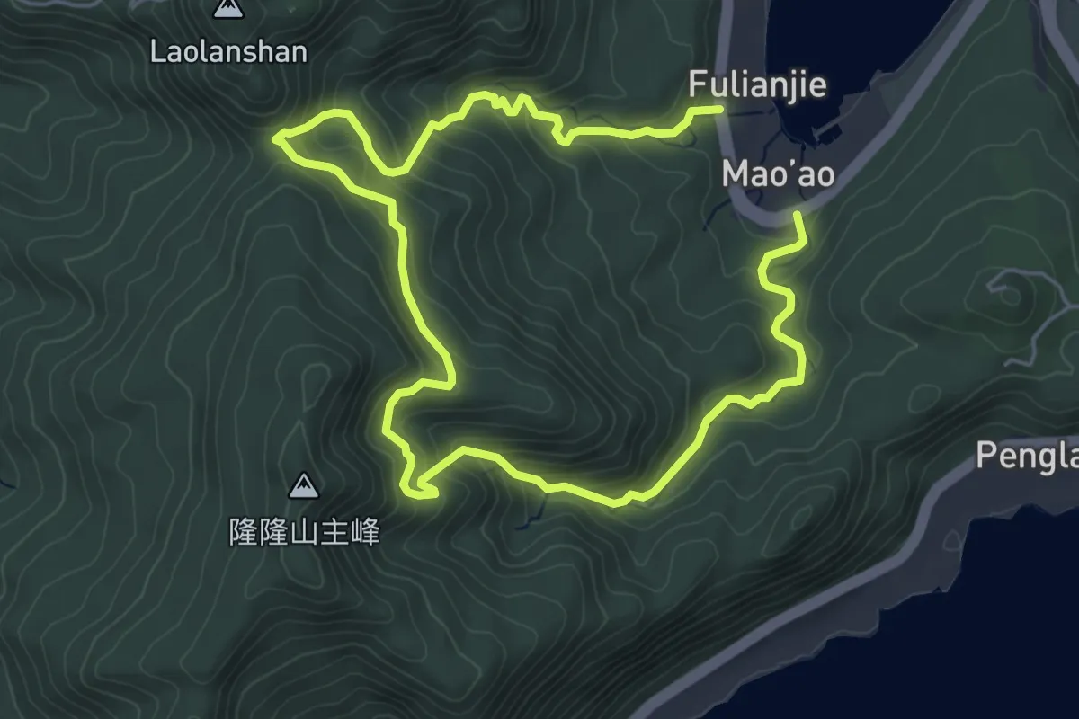
福卯古道
11.4 km · ↑ 681 m · 4 h 10 min
Easy · Summit
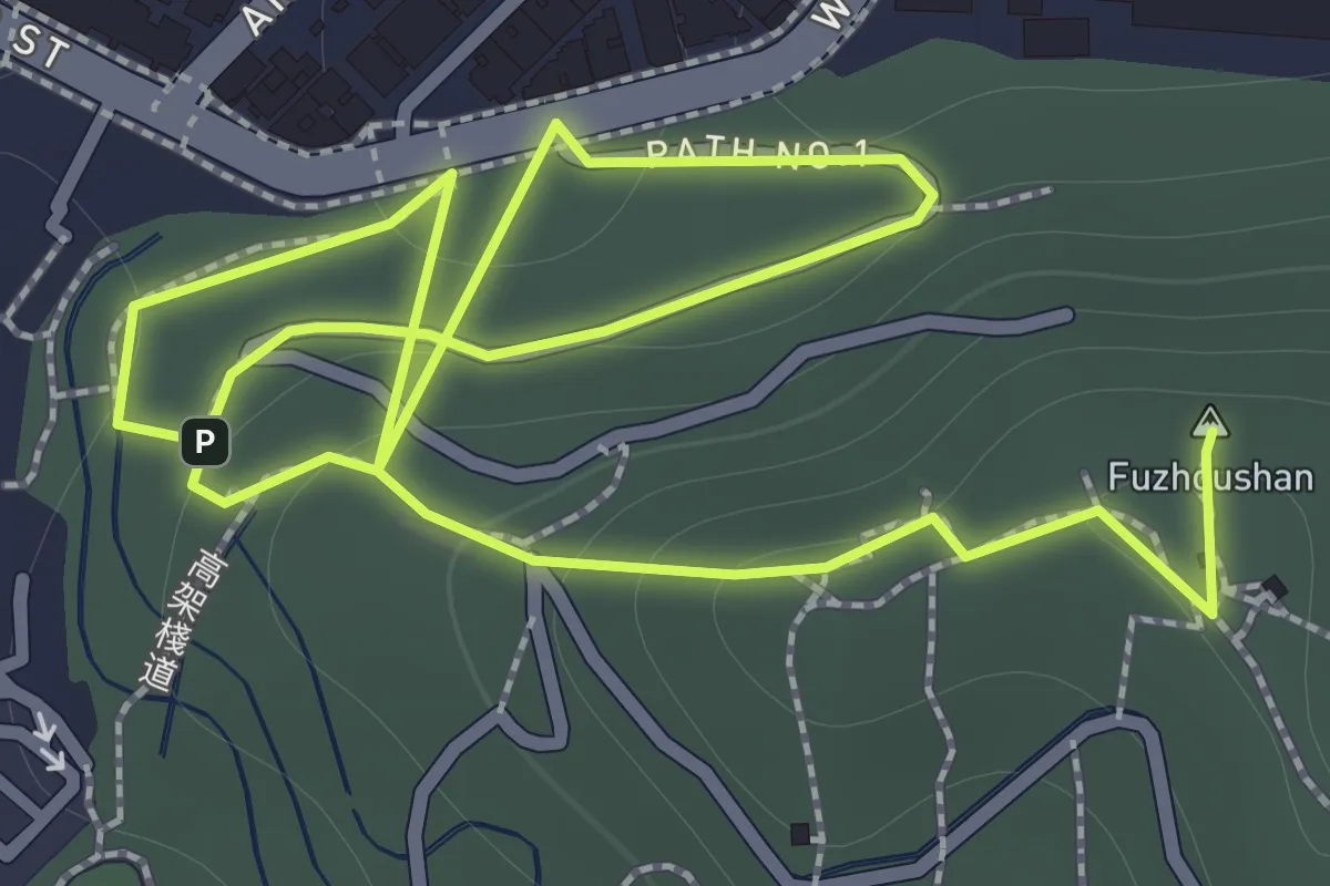
福州山步道
2.4 km · ↑ 165 m · 55 min
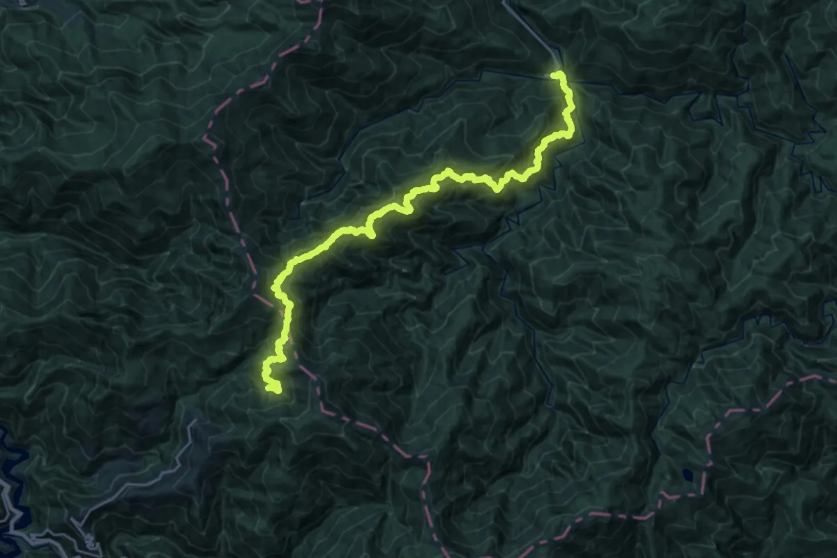
Demanding · Trail
福巴越嶺國家步道
17.0 km · ↑ 2060 m · 8 h 6 min
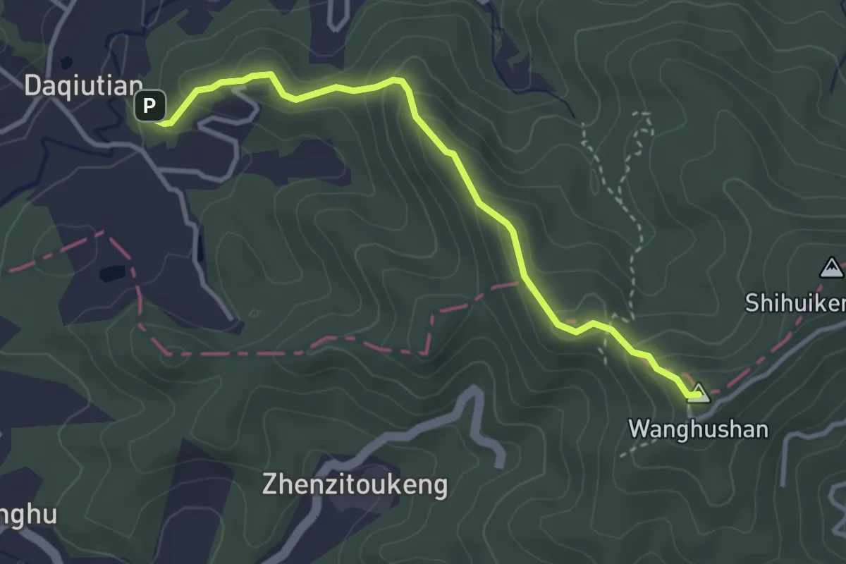
Medium · Summit
福源山步道
4.3 km · ↑ 263 m · 1 h 35 min
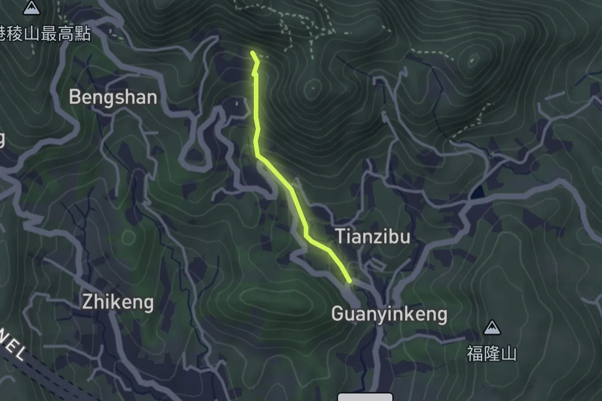
Easy · Trail
福隆山步道(日本凌雲禪寺參拜道)
2.5 km · ↑ 200 m · 1 h 1 min
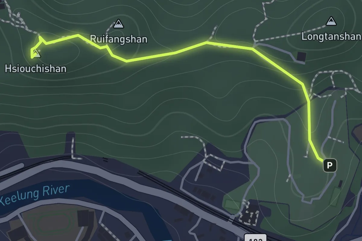
Easy · Summit
秀崎山登山步道
1.9 km · ↑ 87 m · 38 min
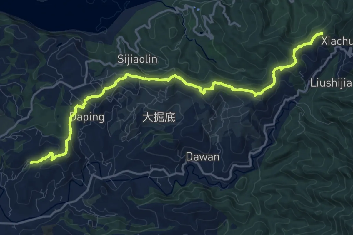
Medium · Summit
穿霧隘勇古道
15.8 km · ↑ 787 m · 5 h 27 min
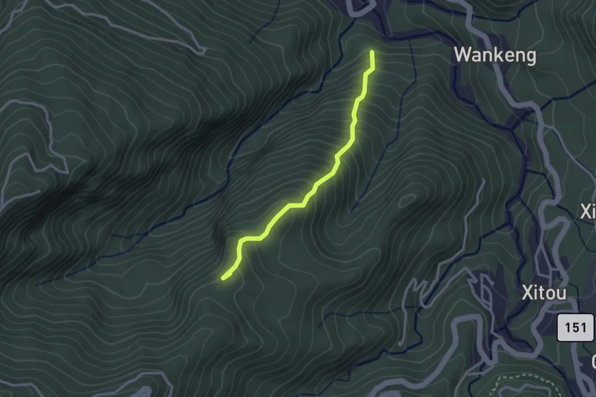
Medium · Summit
竹崙、志騰步道
3.2 km · ↑ 410 m · 1 h 38 min
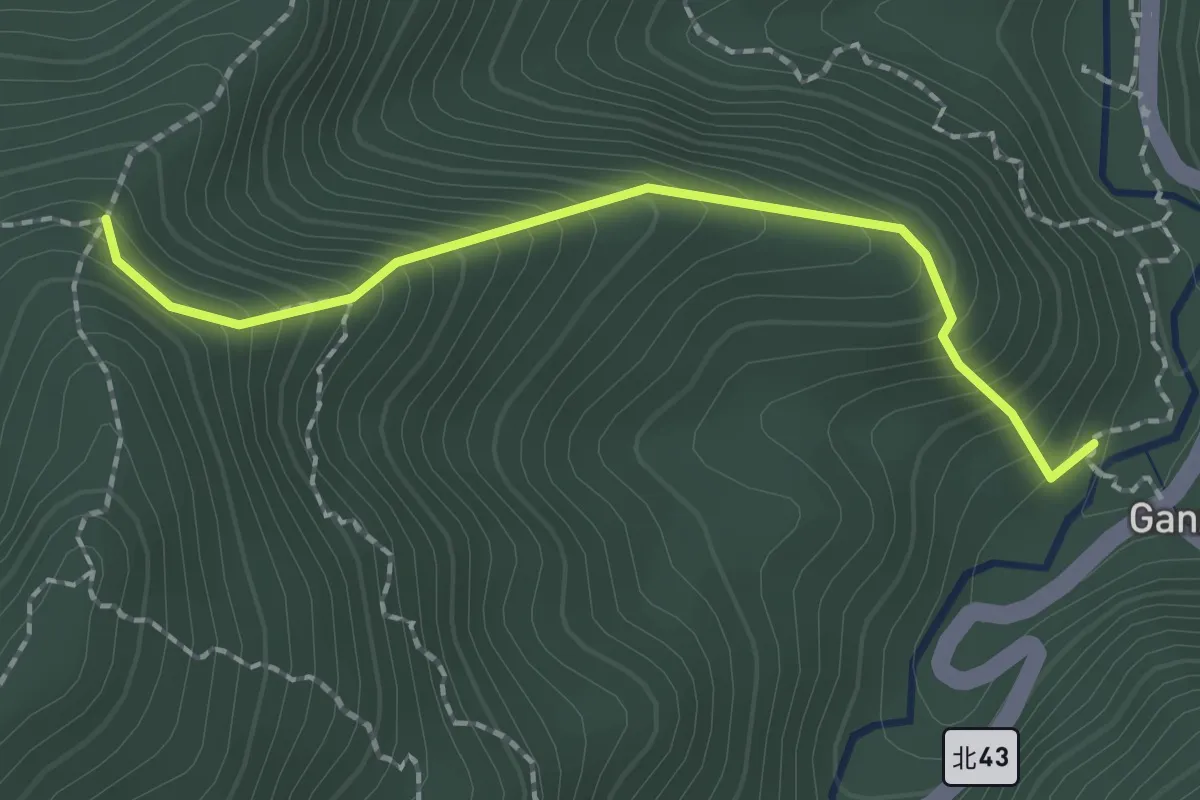
Easy · Trail
竿蓁坑越嶺保甲路
2.5 km · ↑ 295 m · 1 h 14 min
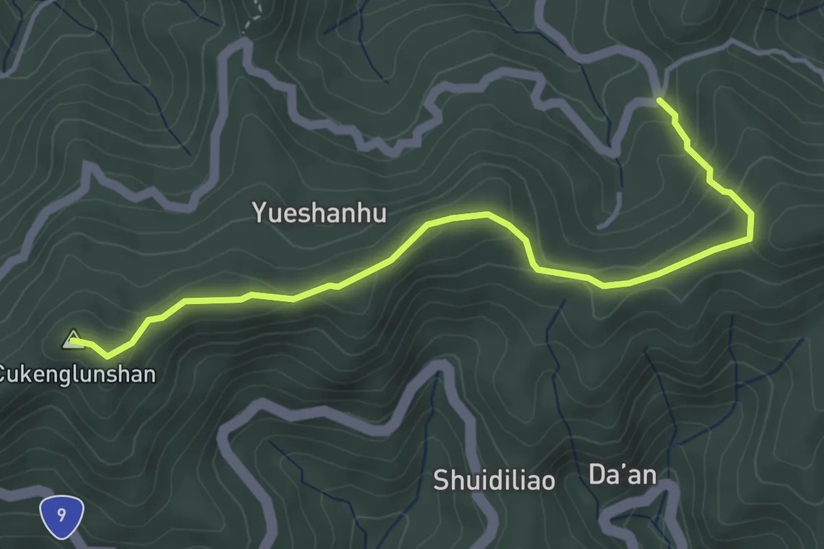
Easy · Summit
粗坑崙登山路線
5.3 km · ↑ 248 m · 1 h 47 min
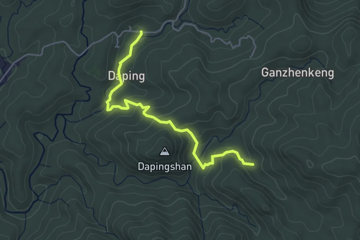
Easy · Trail
紅壇古道
5.5 km · ↑ 273 m · 1 h 53 min
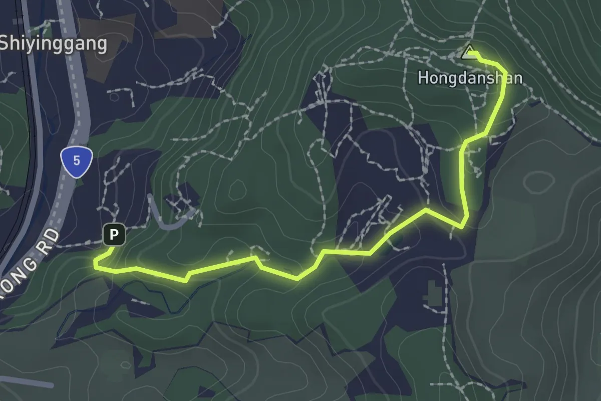
Easy · Summit
紅淡山步道_A2線
2.9 km · ↑ 135 m · 58 min
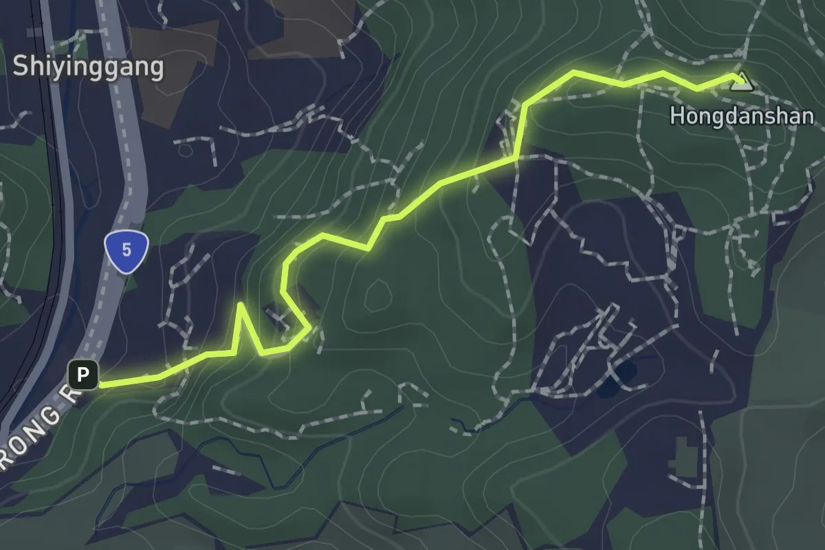
Easy · Summit
紅淡山步道_A3線
2.6 km · ↑ 192 m · 1 h 2 min
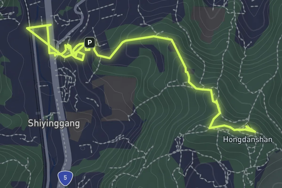
Easy · Summit
紅淡山步道A4路線
5.0 km · ↑ 264 m · 1 h 46 min
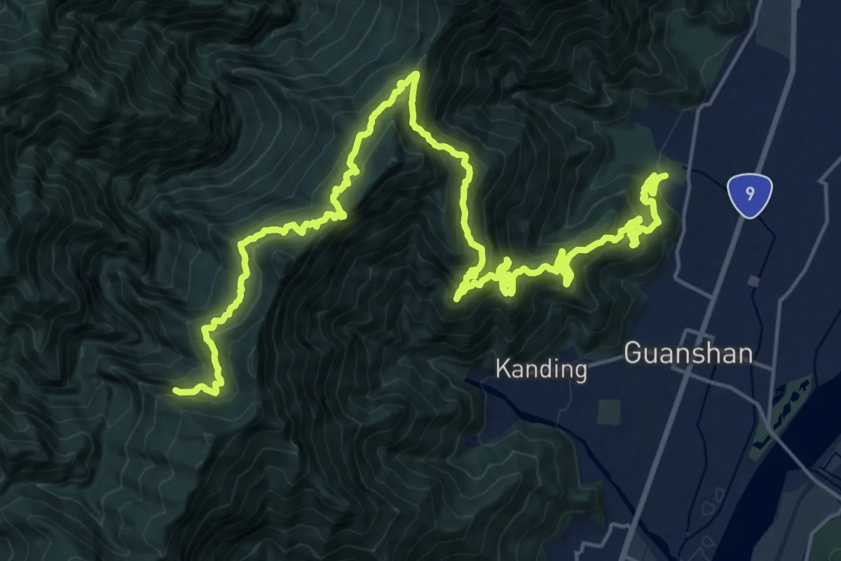
Demanding · Trail
紅石步道
18.7 km · ↑ 714 m · 6 h 50 min
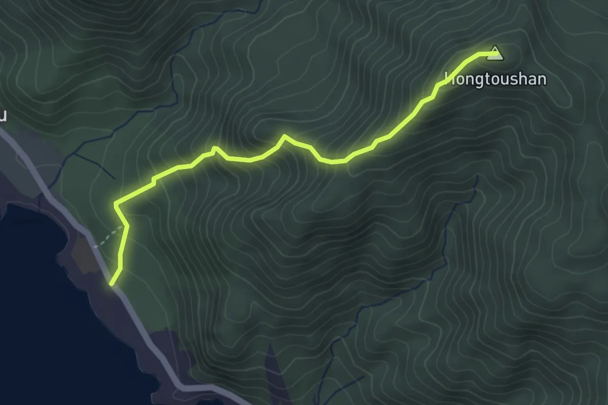
Medium · Summit
紅頭山登山步道
4.8 km · ↑ 521 m · 2 h 15 min
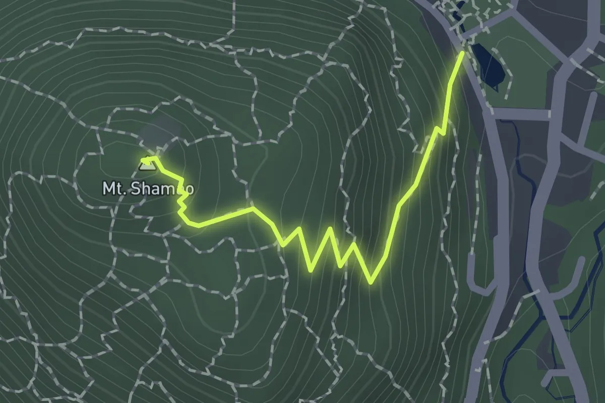
Easy · Summit
紗帽山 步道
2.1 km · ↑ 227 m · 59 min
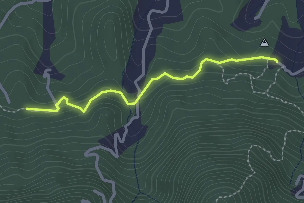
Easy · Trail
紫微保甲路步道
2.6 km · ↑ 121 m · 52 min
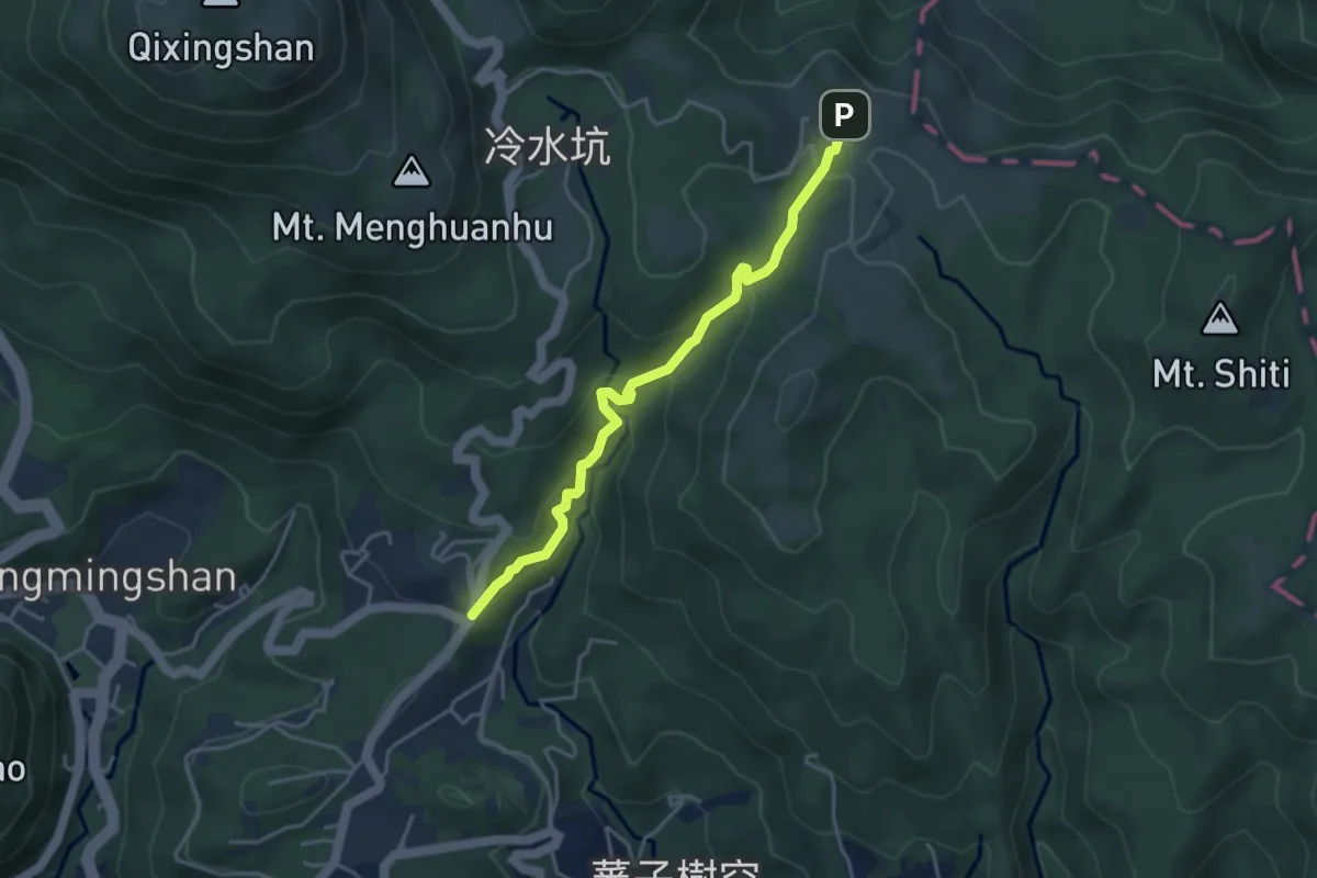
Easy · Trail
絹絲瀑布步道
5.1 km · ↑ 289 m · 1 h 50 min
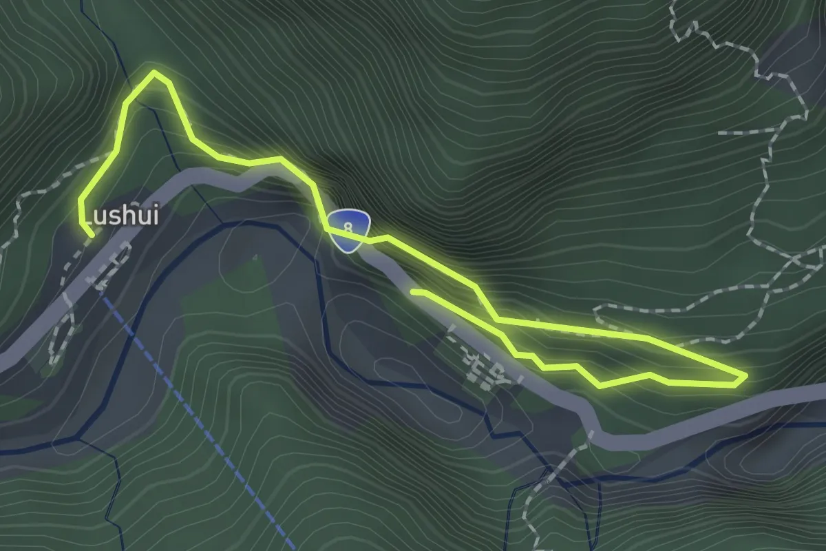
Medium · Trail
綠水合流步道
3.3 km · ↑ 454 m · 1 h 46 min
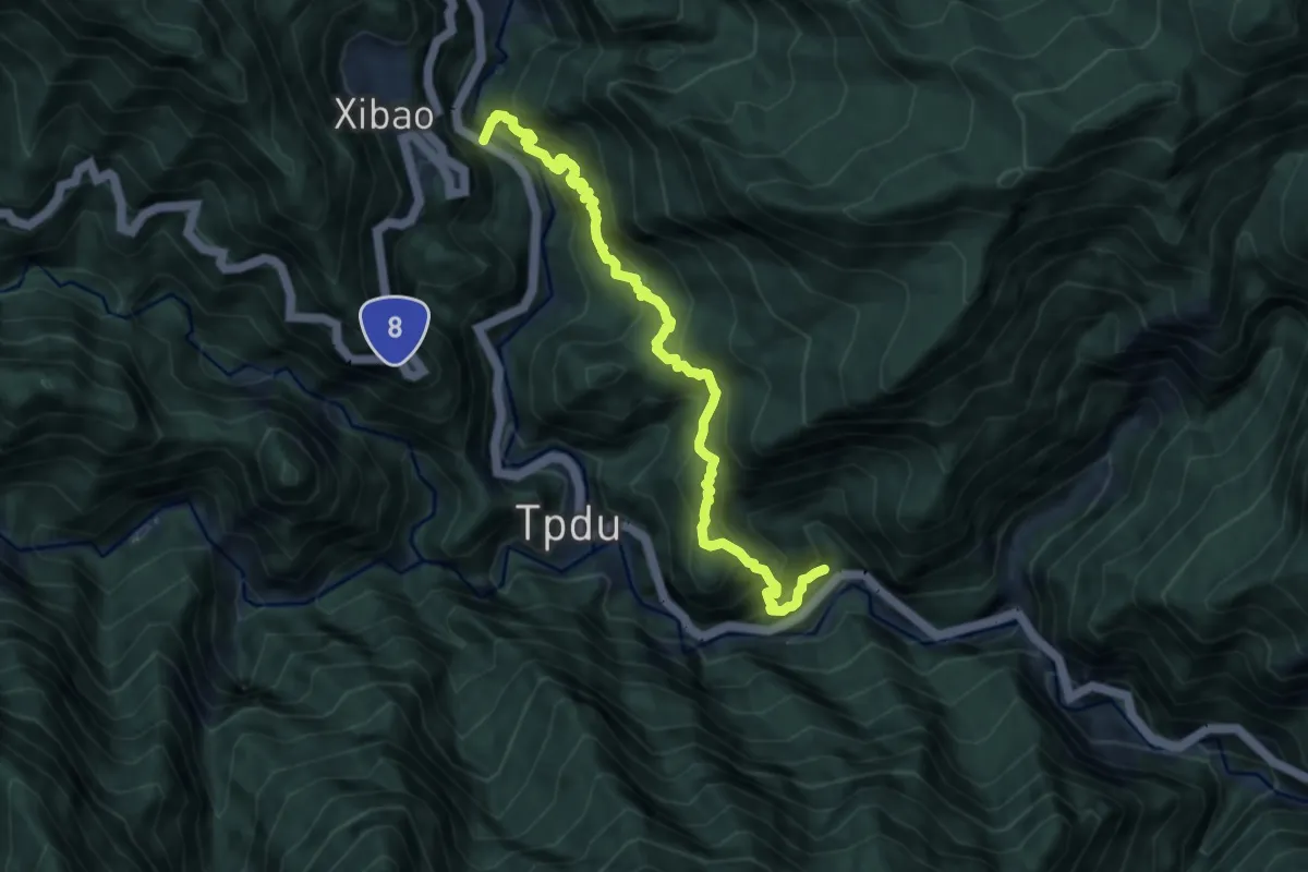
Demanding · Trail
綠水文山步道
10.4 km · ↑ 1289 m · 5 h 15 min
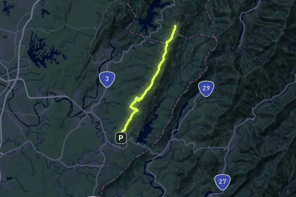
Demanding · Summit
綠色長城-三腳南山系
53.9 km · ↑ 3964 m · 21 h 19 min
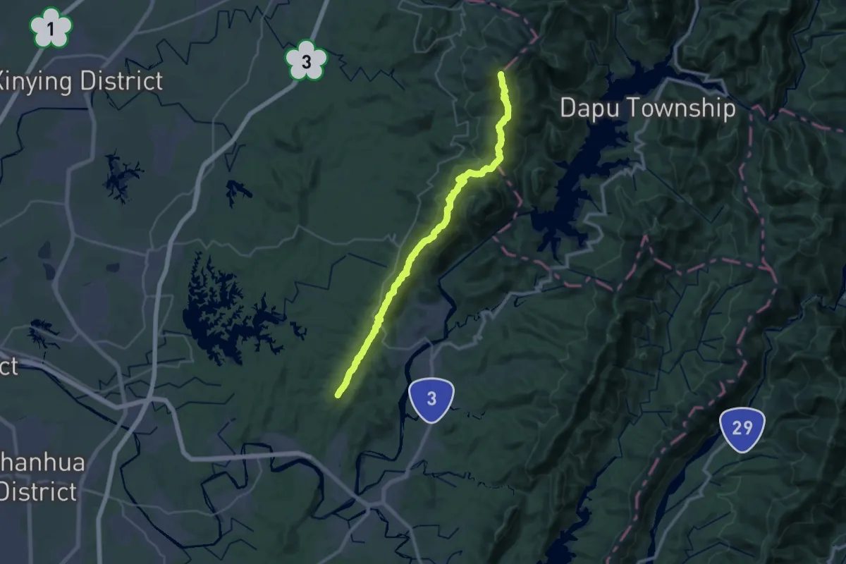
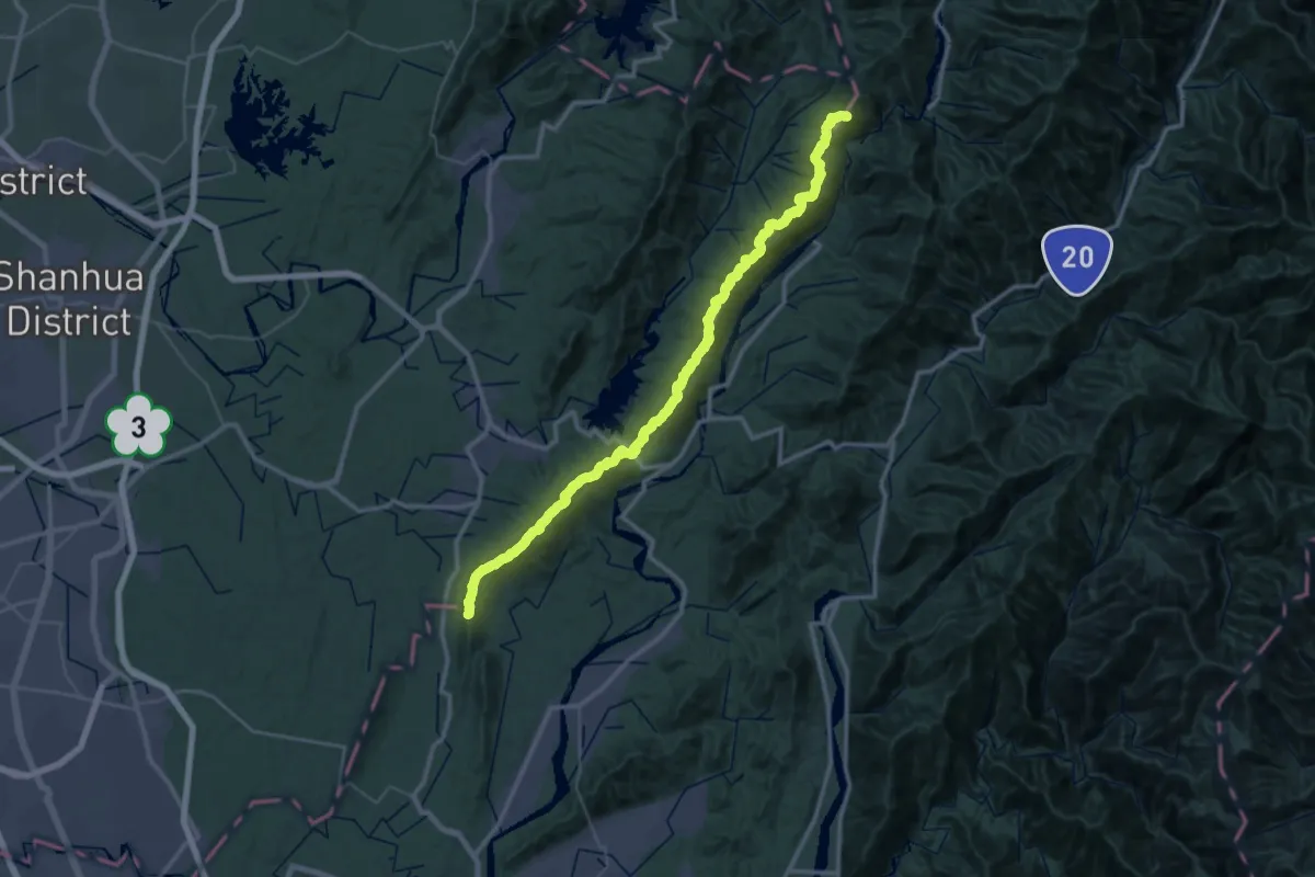
Demanding · Summit
綠色長城-大凍山系
45.2 km · ↑ 2995 m · 17 h 9 min
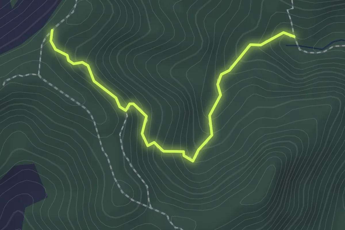
Demanding · Summit
綠色長城-大烏山系
73.9 km · ↑ 4426 m · 27 h 3 min
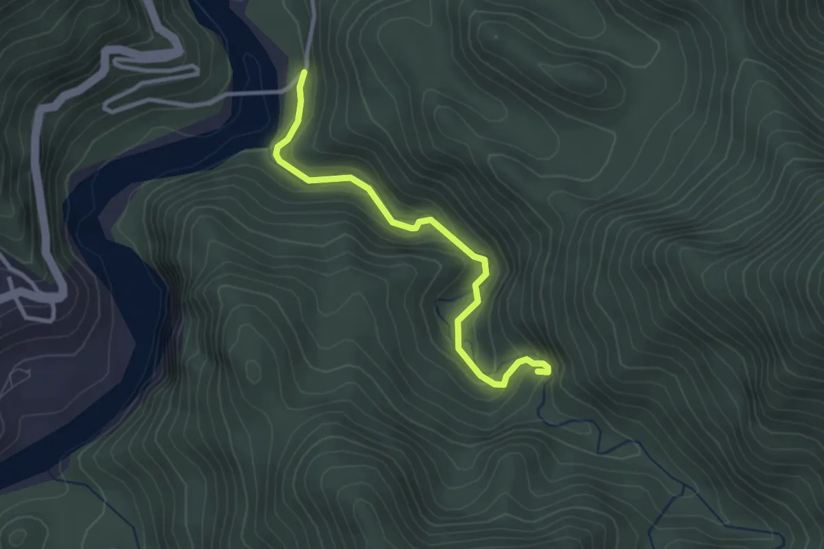
Easy · Trail
綠色隧道
2.6 km · ↑ 228 m · 1 h 6 min
Easy · Trail
羅木斯溪登山步道
3.7 km · ↑ 179 m · 1 h 15 min
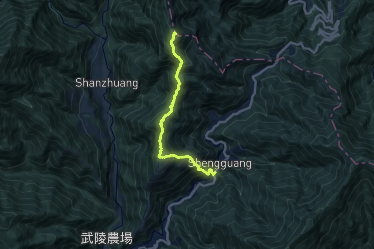
Demanding · Summit
羅馬縱走
12.0 km · ↑ 1176 m · 5 h 22 min
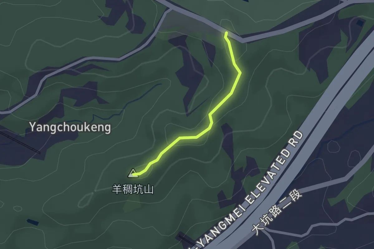
Easy · Summit
羊稠步道
1.9 km · ↑ 44 m · 33 min
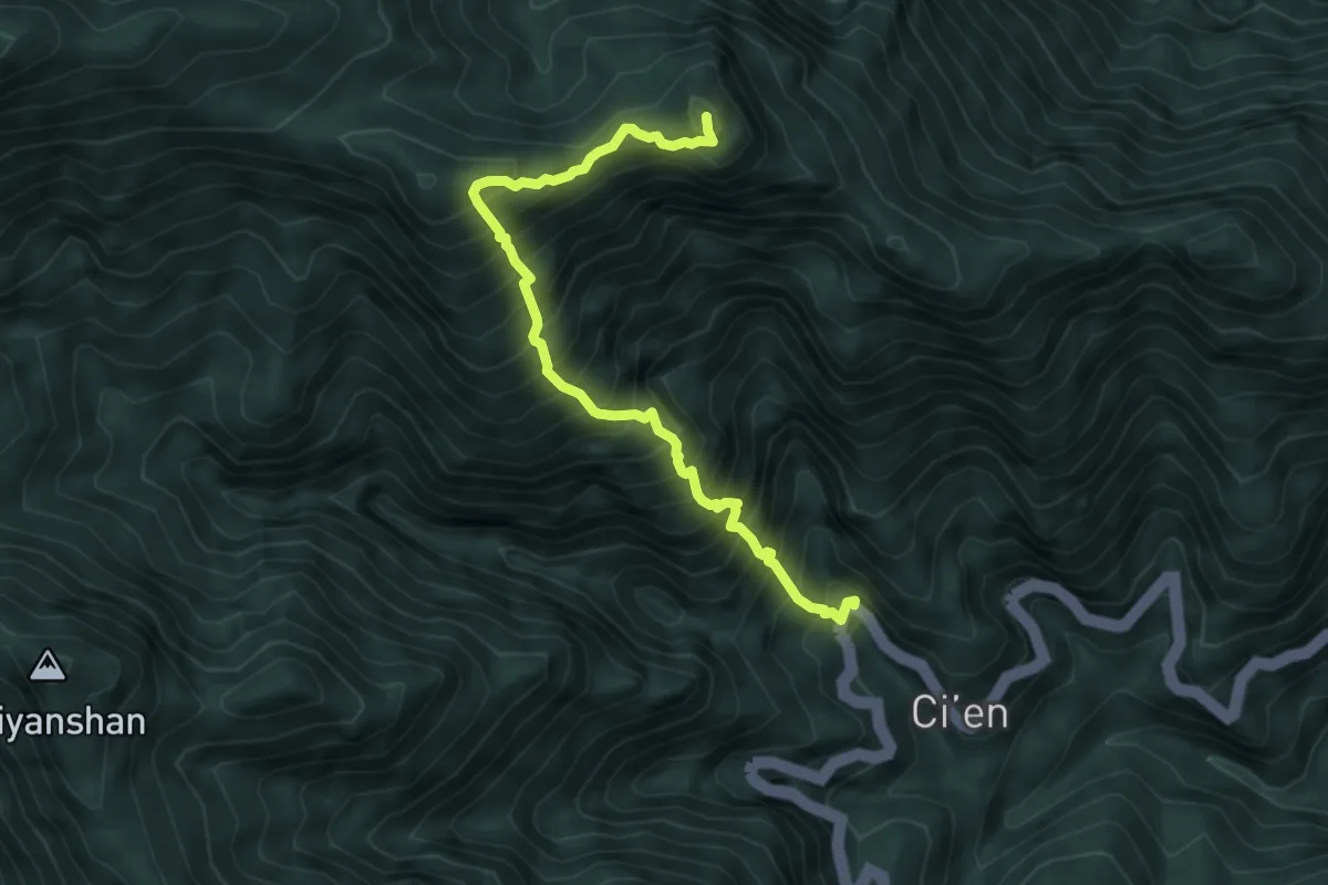
Demanding · Summit
羊頭山步道
6.8 km · ↑ 1247 m · 4 h 19 min
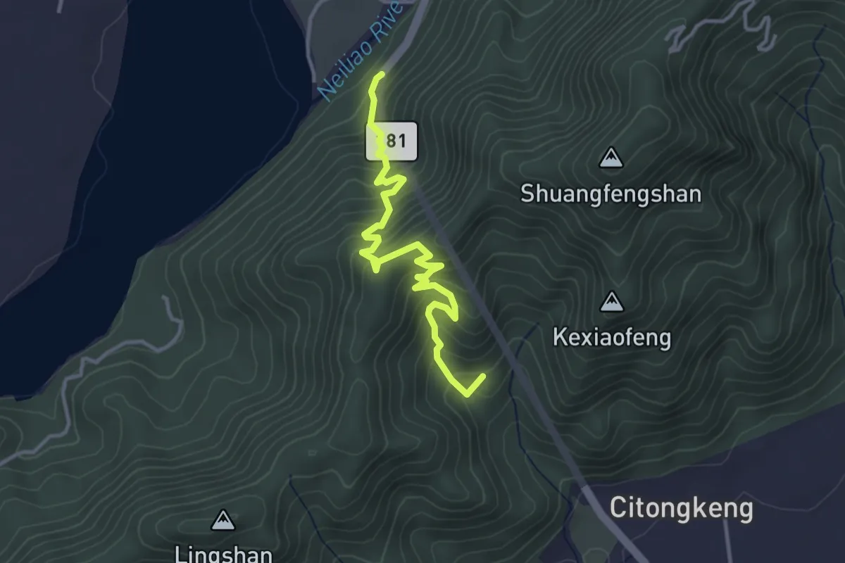
Medium · Summit
美濃越嶺古道
4.7 km · ↑ 460 m · 2 h 6 min
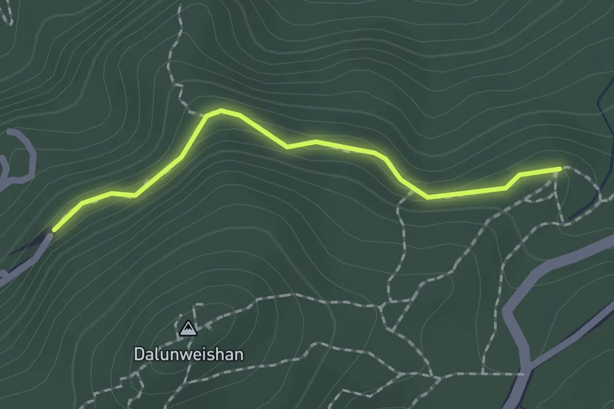
Easy · Trail
翠山步道
2.0 km · ↑ 73 m · 38 min
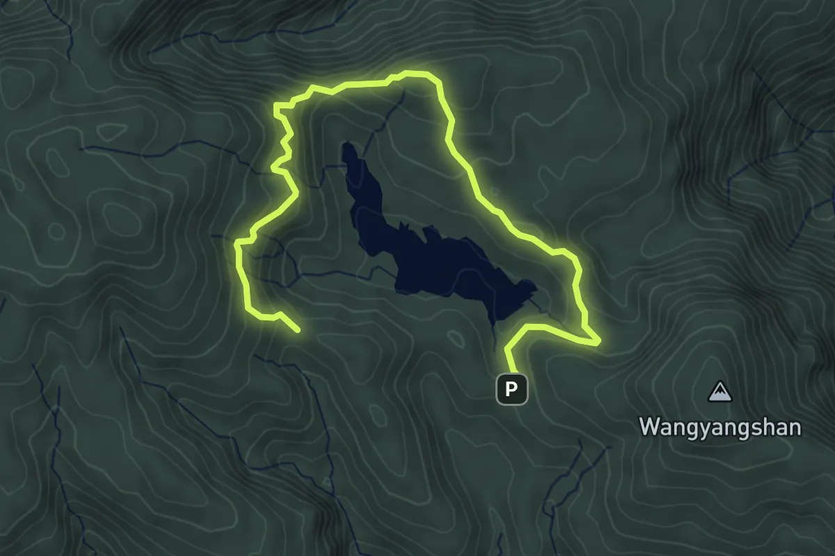
Medium · Trail
翠峰湖環山步道
7.5 km · ↑ 409 m · 2 h 39 min
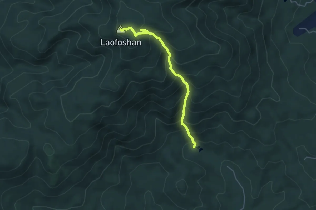
Medium · Summit
老佛山步道
4.9 km · ↑ 581 m · 2 h 26 min
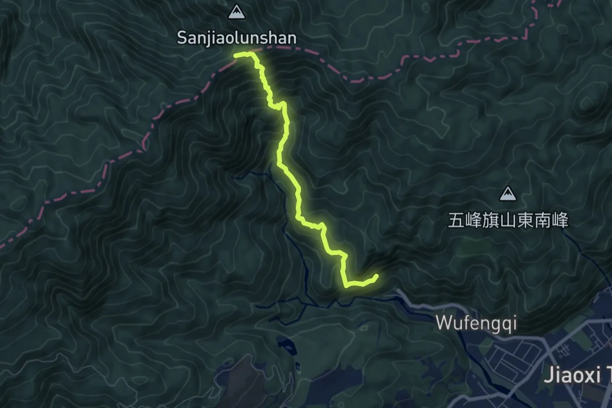
Demanding · Summit
聖母登山步道
8.1 km · ↑ 815 m · 3 h 40 min
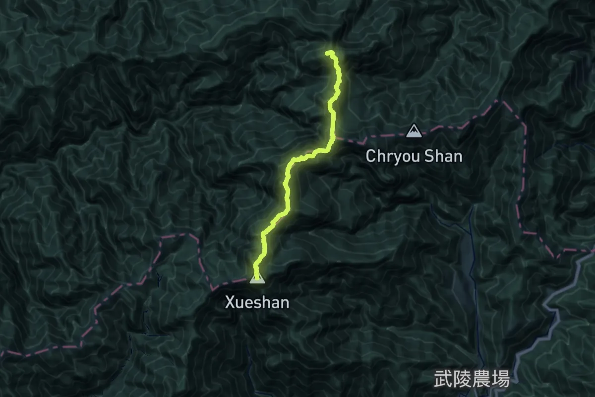
Expert · Summit
聖稜線
22.0 km · ↑ 2280 m · 10 h 7 min
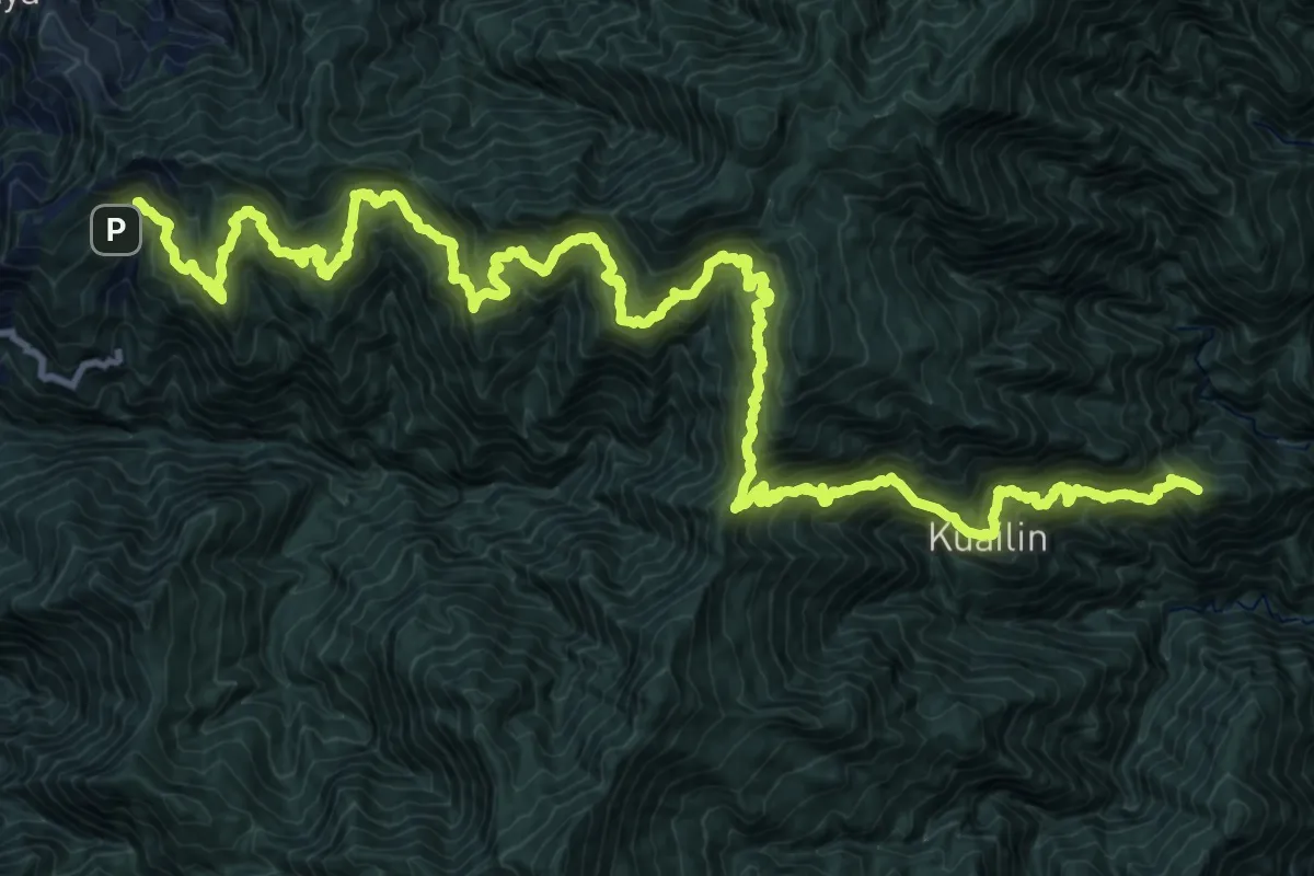
Demanding · Summit
能高越嶺道
47.9 km · ↑ 4923 m · 21 h 59 min
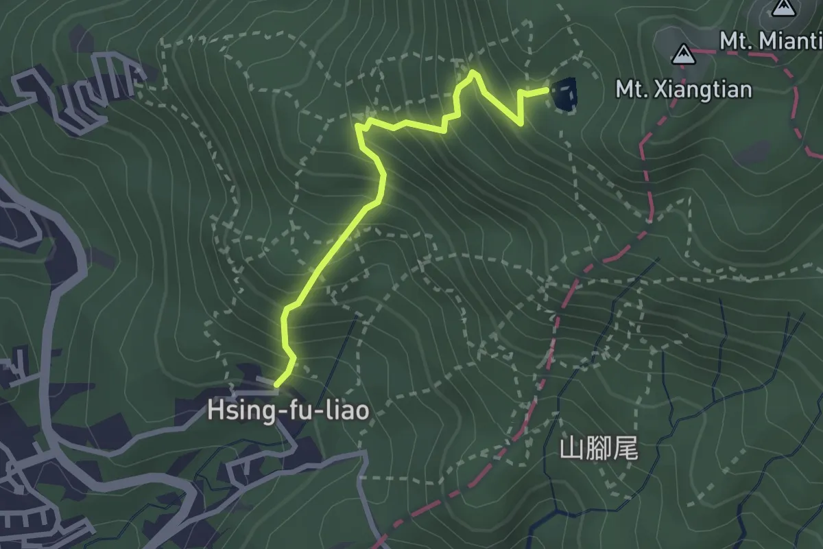
Medium · Trail
興福寮登山步道
3.0 km · ↑ 421 m · 1 h 37 min
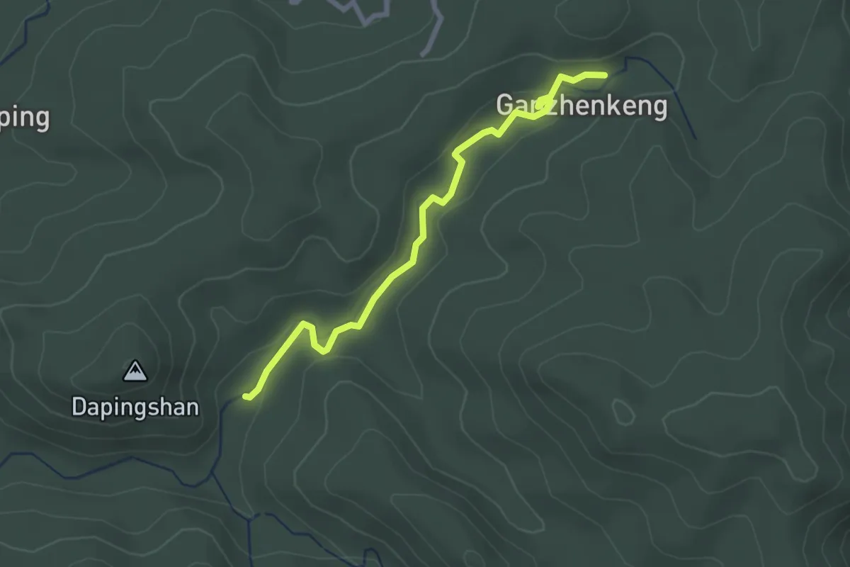
Easy · Trail
芉蓁坑溪畔古道
3.2 km · ↑ 72 m · 54 min
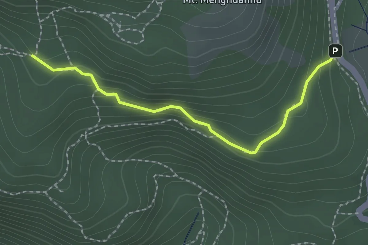
Easy · Trail
苗冷古道
2.4 km · ↑ 102 m · 47 min
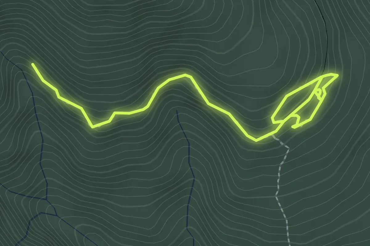
Easy · Trail
茂興懷舊步道
4.1 km · ↑ 231 m · 1 h 28 min
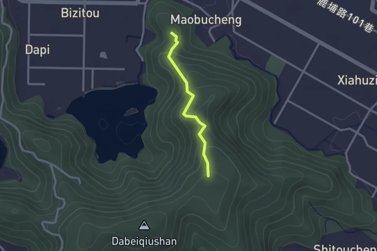
Easy · Summit
茅埔城古道
2.3 km · ↑ 144 m · 51 min
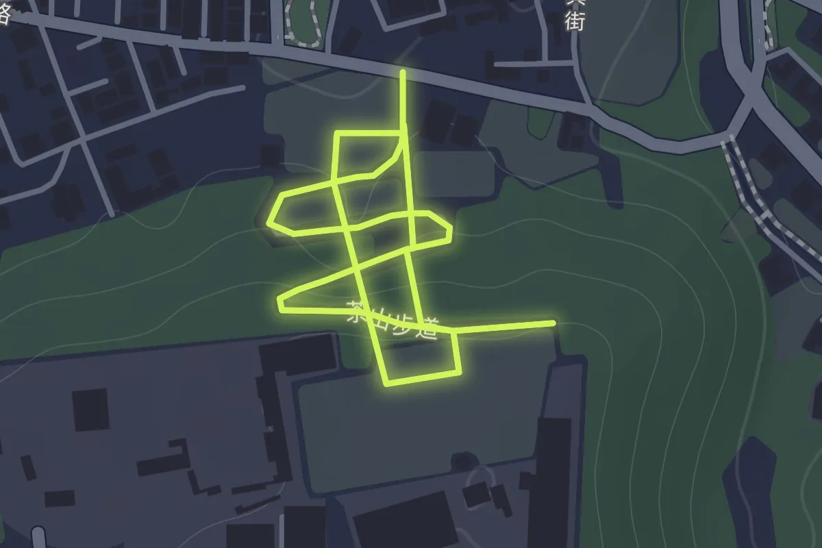
Easy · Trail
茶山步道
2.7 km · ↑ 114 m · 54 min