Trails in Taiwan
613 hiking trails, each with its route, climb, walking time and grade.
All trails, page 7 of 13
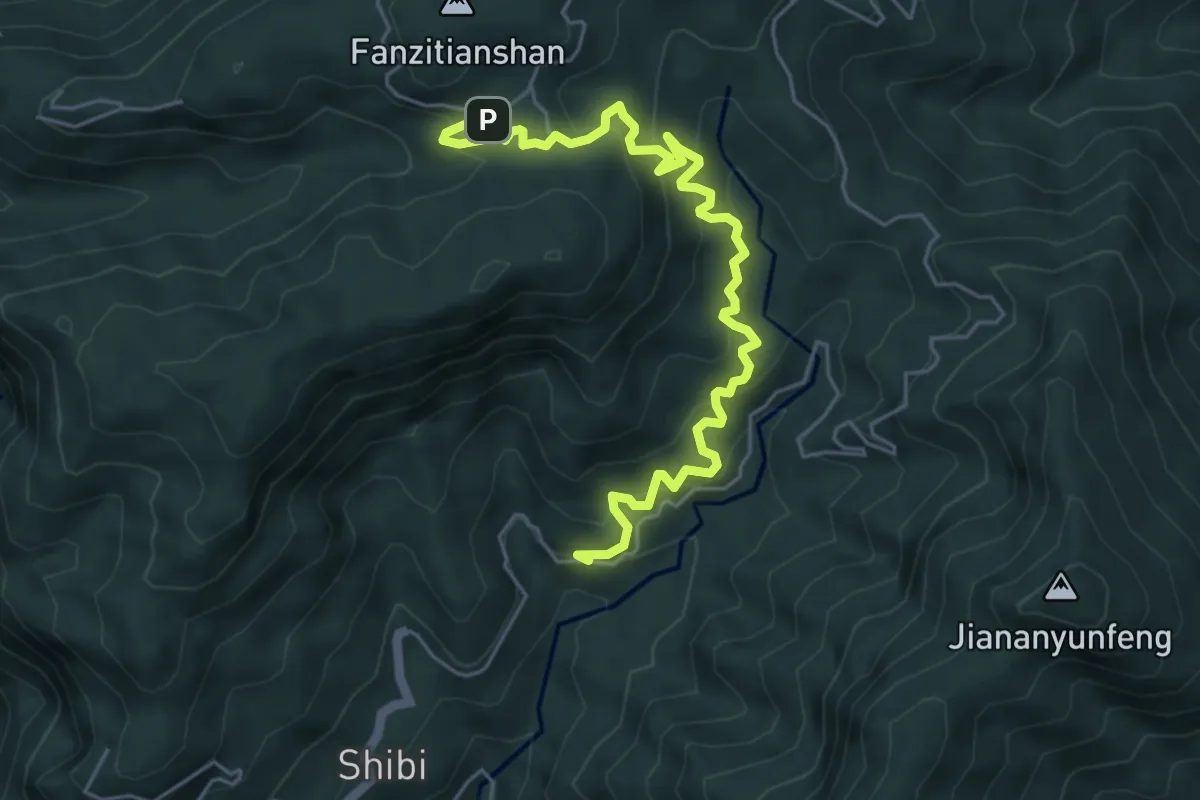
Medium · Trail
木馬古道
7.9 km · ↑ 711 m · 3 h 25 min
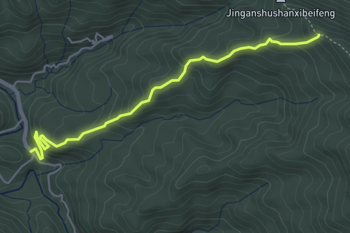
Medium · Trail
杜鵑林步道2號線
5.5 km · ↑ 396 m · 2 h 9 min
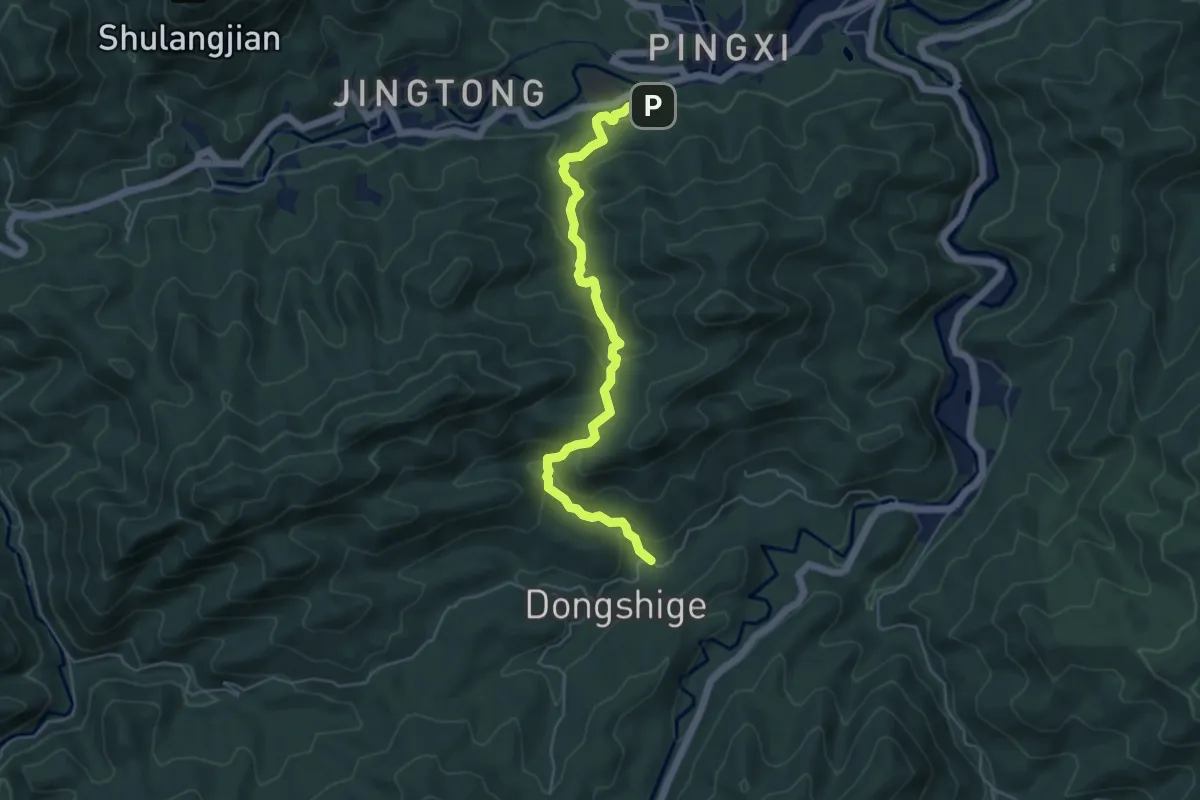
Medium · Trail
東勢格越嶺步道
6.8 km · ↑ 359 m · 2 h 24 min
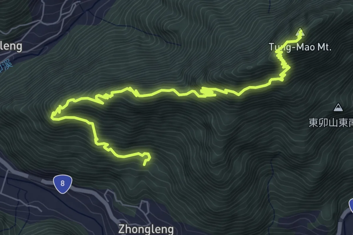
Demanding · Summit
東卯山步道
11.3 km · ↑ 1119 m · 5 h 6 min
Demanding · Trail
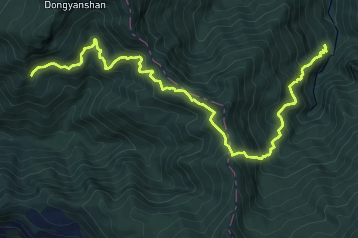
東滿步道
13.4 km · ↑ 1209 m · 5 h 47 min
Easy · Summit
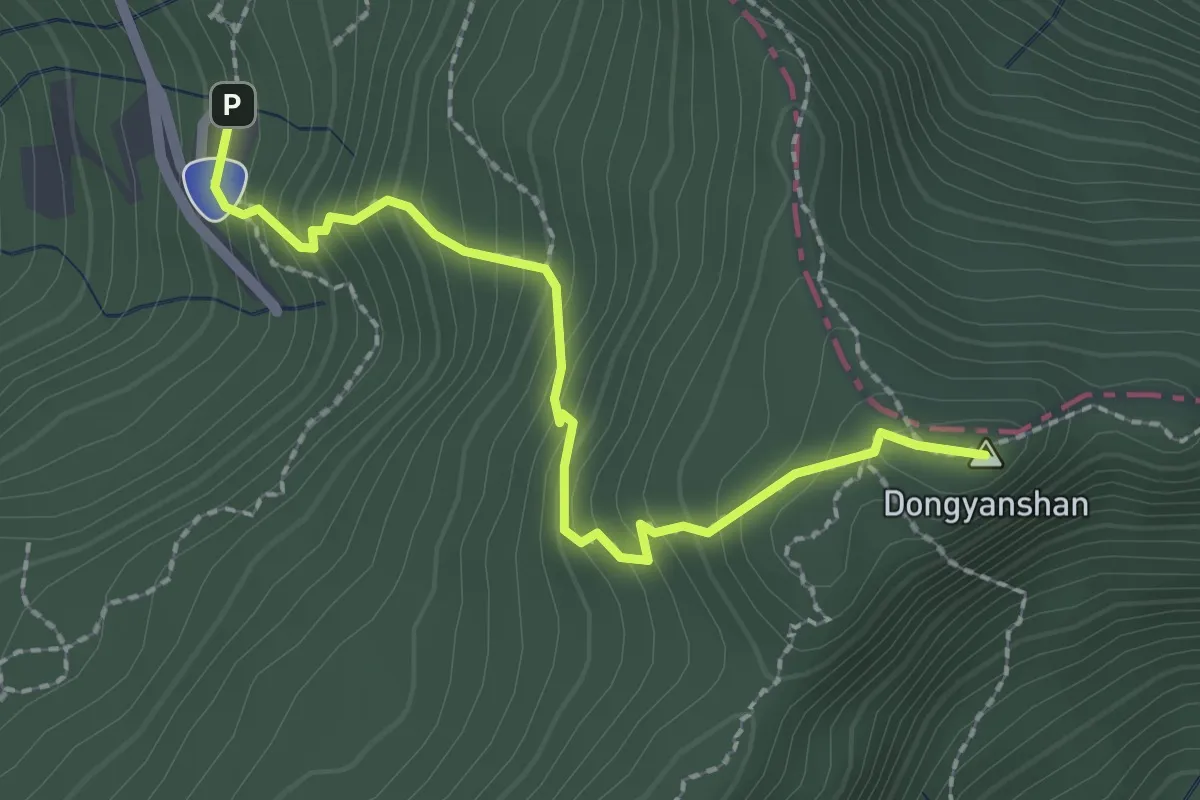
東眼山步道
3.0 km · ↑ 283 m · 1 h 19 min
Expert · Summit
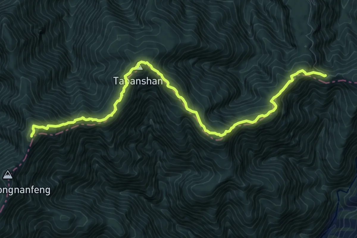
東高山(塔班山)登山路線
16.4 km · ↑ 1263 m · 6 h 36 min
Easy · Trail
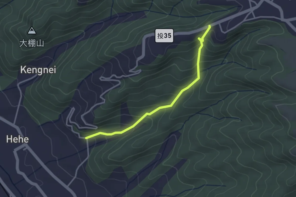
松柏嶺登廟步道
3.6 km · ↑ 265 m · 1 h 26 min
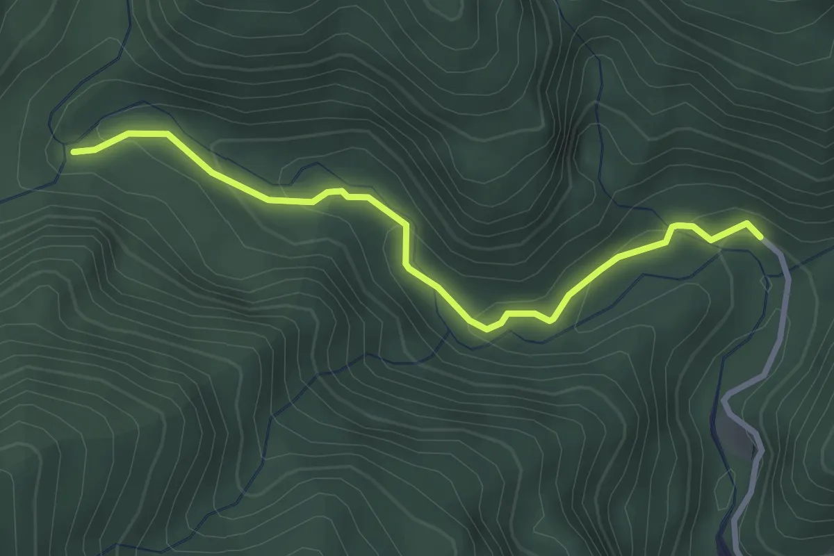
Easy · Trail
松羅步道
3.6 km · ↑ 153 m · 1 h 11 min
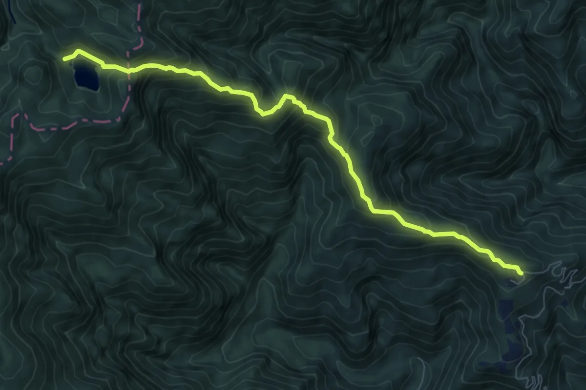
Medium · Trail
松羅湖山徑
10.8 km · ↑ 763 m · 4 h 13 min
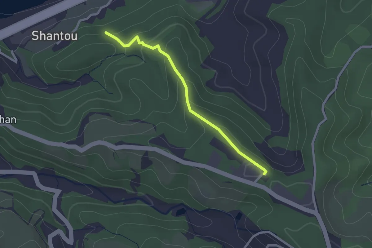
Easy · Trail
林口濱海步道
2.8 km · ↑ 133 m · 56 min
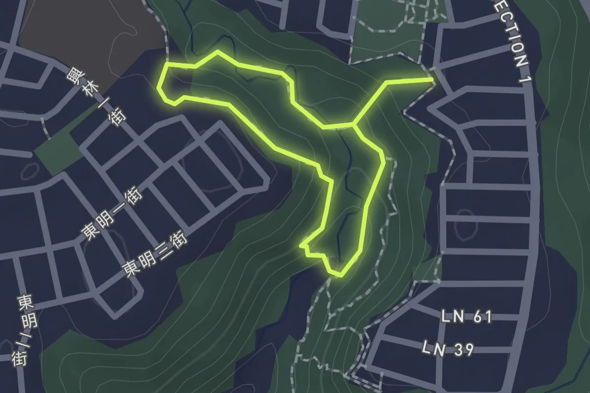
Easy · Trail
林口老公崎步道
3.2 km · ↑ 155 m · 1 h 5 min
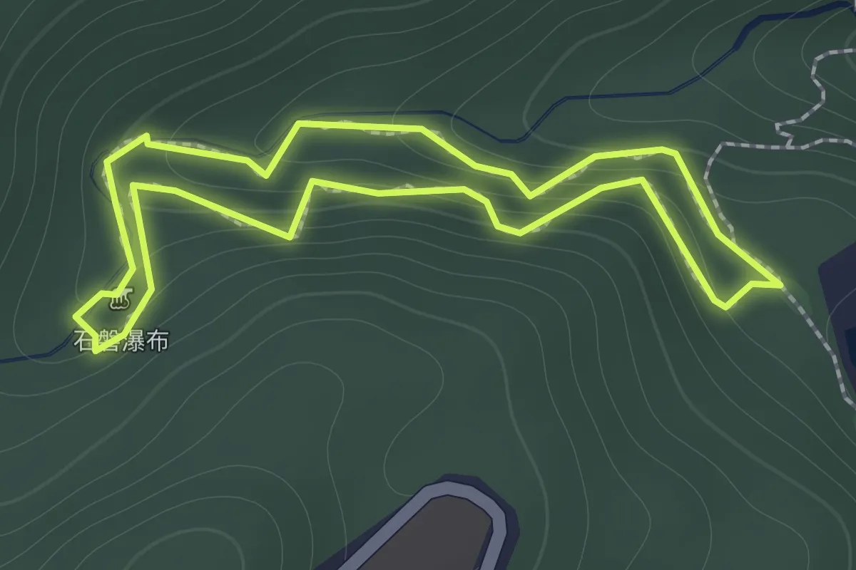
Easy · Trail
林美石磐步道
1.7 km · ↑ 135 m · 43 min
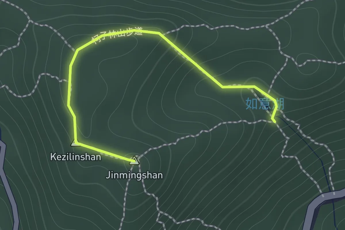
Easy · Summit
柯子林山步道
1.9 km · ↑ 112 m · 41 min
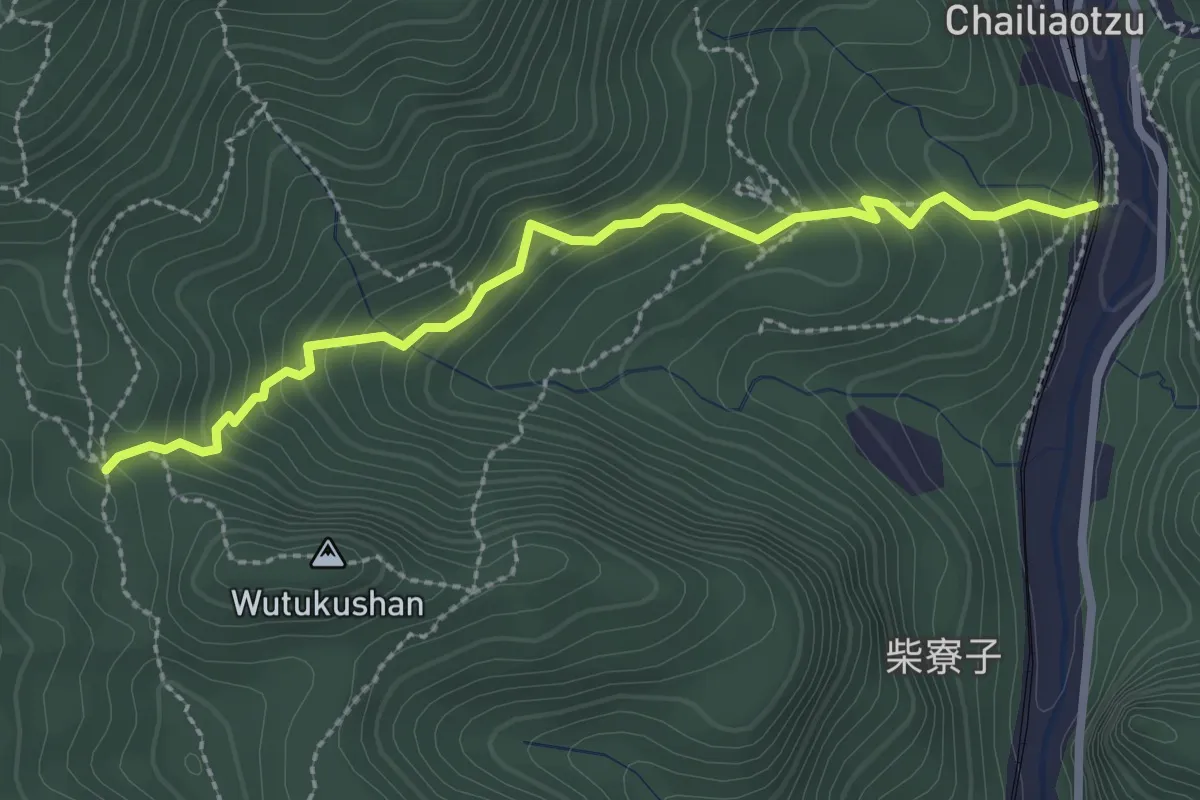
Easy · Trail
柴寮古道
3.6 km · ↑ 305 m · 1 h 30 min
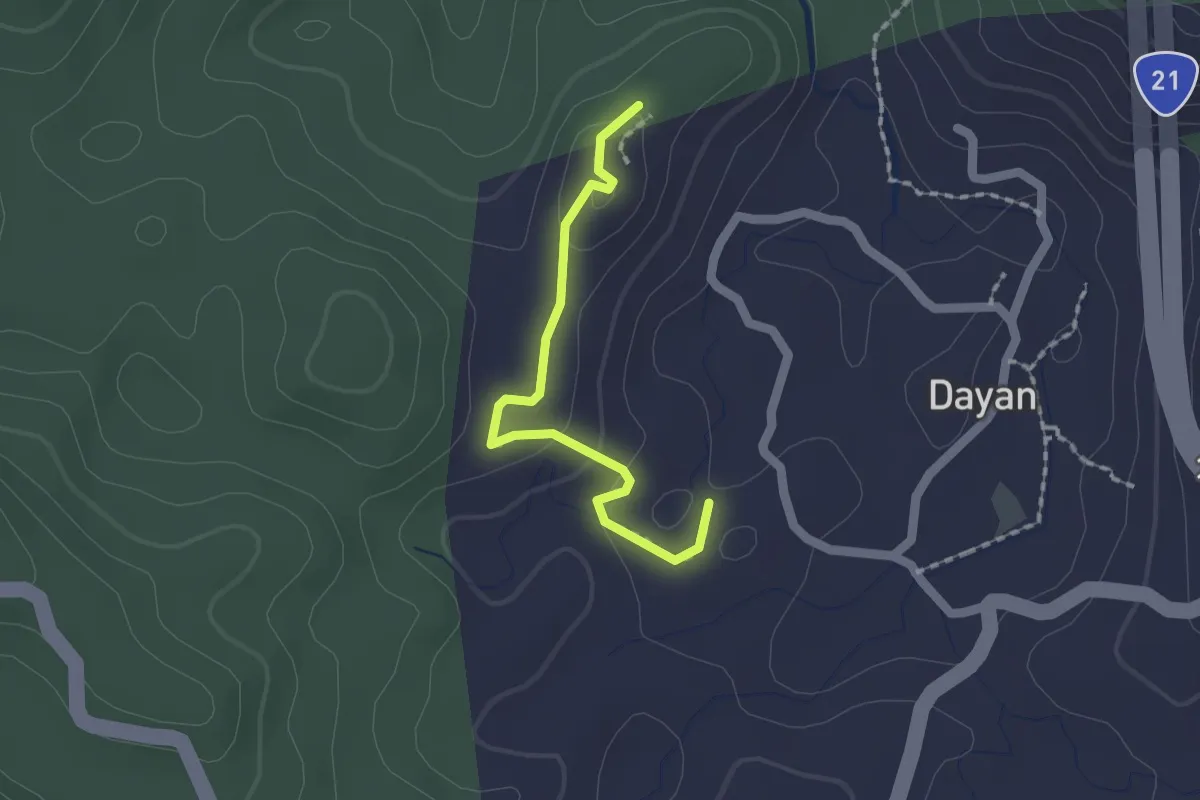
Easy · Trail
柴崁坪步道
2.1 km · ↑ 69 m · 39 min
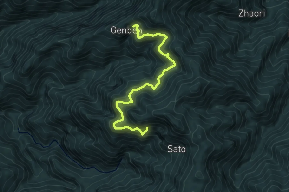
Demanding · Trail
根本古道
9.5 km · ↑ 896 m · 4 h 11 min
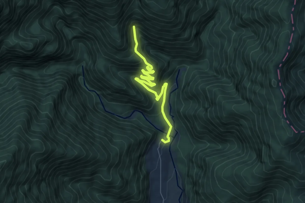
Medium · Cabin
桃山瀑布步道
8.4 km · ↑ 590 m · 3 h 15 min
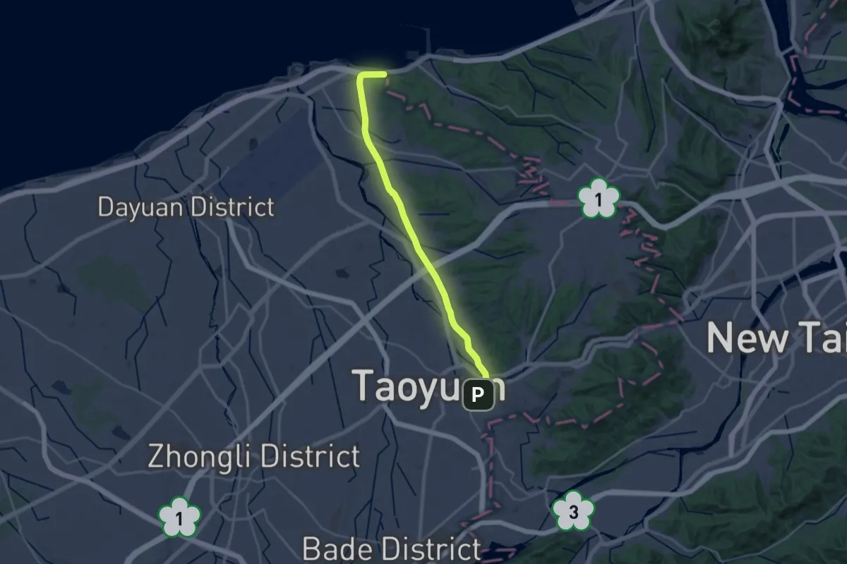
Medium · Trail
桃林鐵路步道
16.7 km · ↑ 92 m · 4 h 25 min
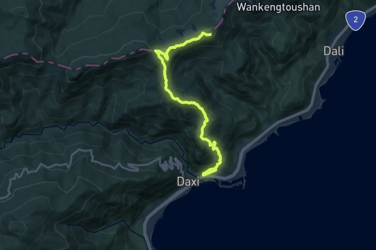
Medium · Summit
桃源谷(大溪線步道)
11.1 km · ↑ 773 m · 4 h 17 min
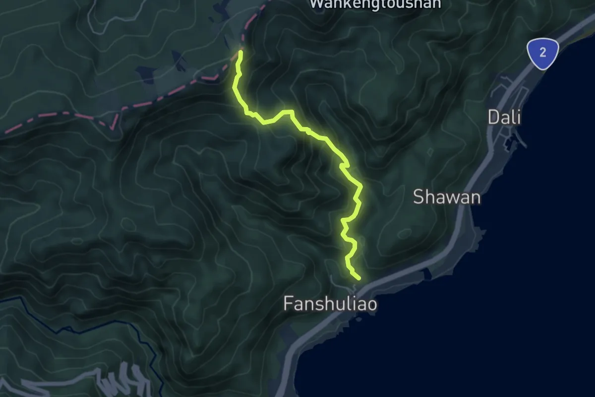
Medium · Trail
桃源谷步道(石觀音線)
6.0 km · ↑ 612 m · 2 h 45 min
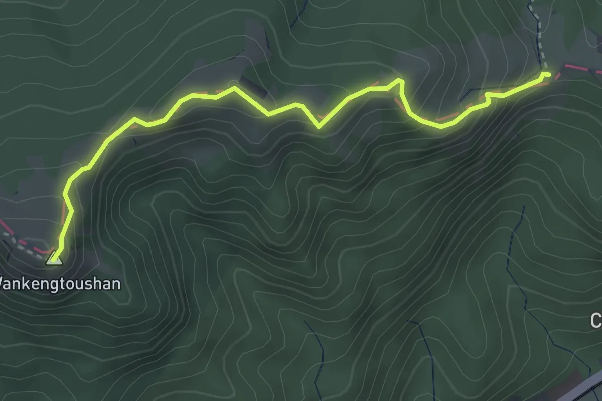
Medium · Summit
桃源谷(草嶺線步道)
4.5 km · ↑ 335 m · 1 h 47 min
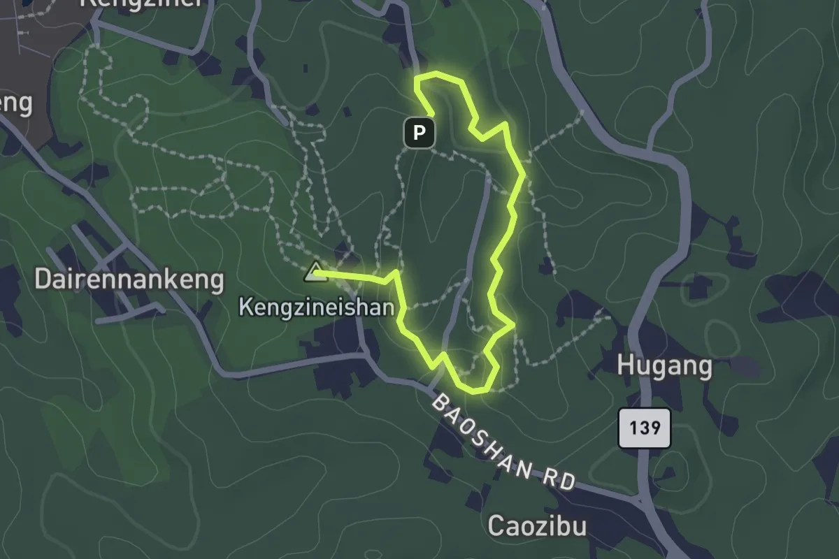
Easy · Summit
桃源里森林步道
3.2 km · ↑ 148 m · 1 h 5 min
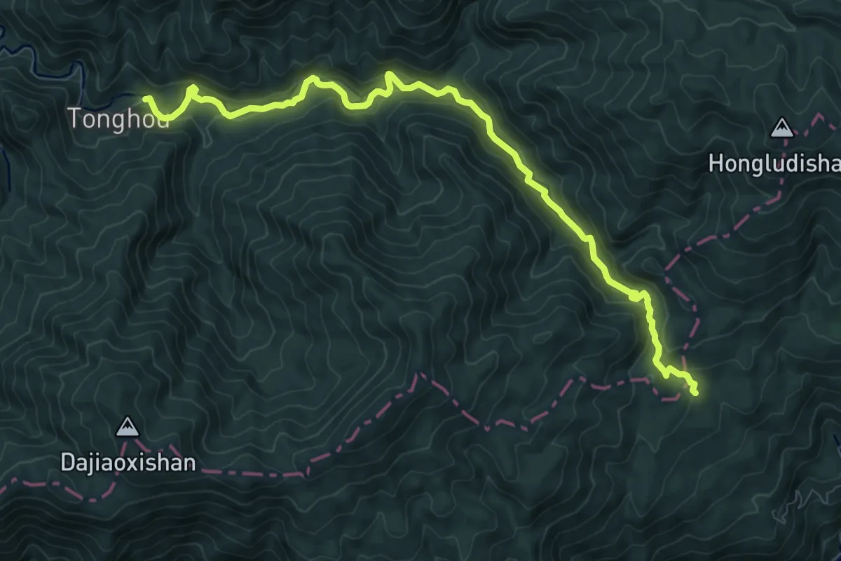
Medium · Trail
桶後越嶺步道
13.4 km · ↑ 606 m · 4 h 28 min
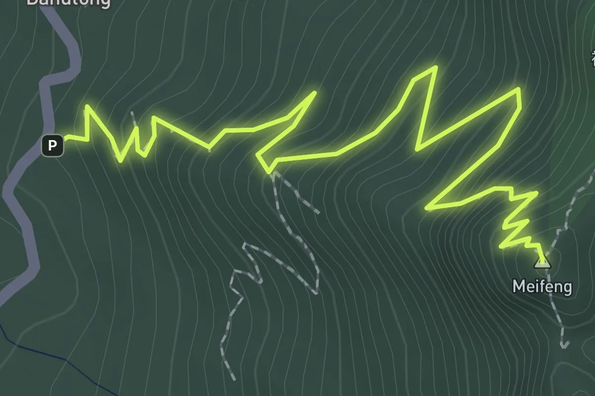
Medium · Summit
梅峰古道
4.1 km · ↑ 394 m · 1 h 50 min
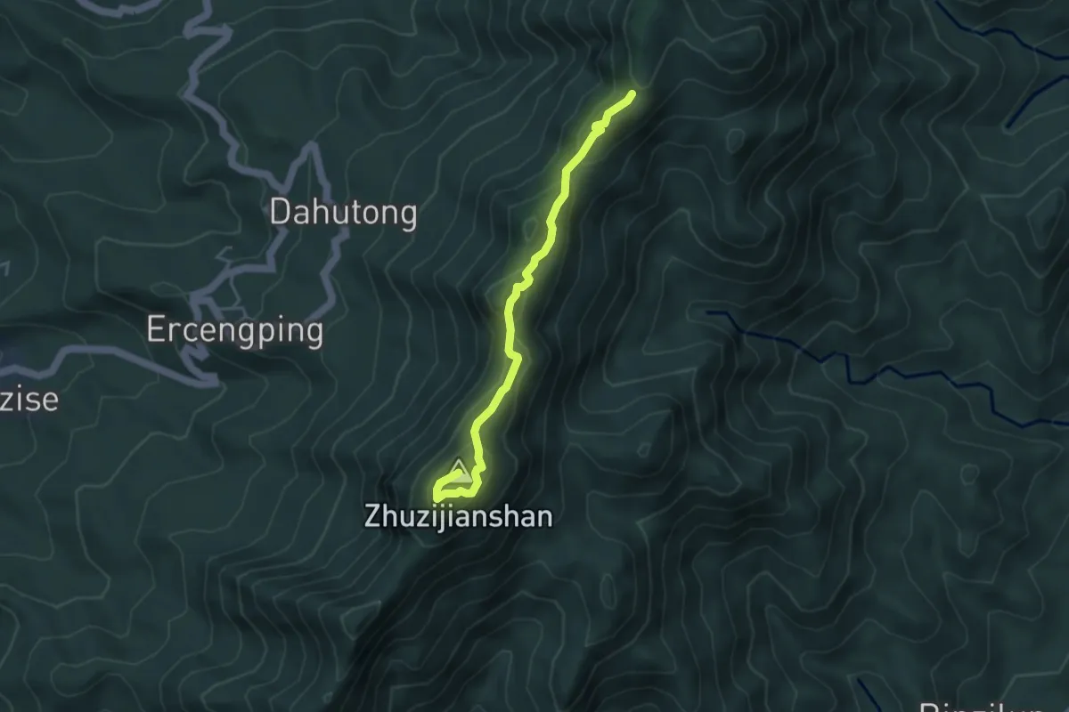
Medium · Summit
梅嶺稜線步道
5.0 km · ↑ 292 m · 1 h 49 min
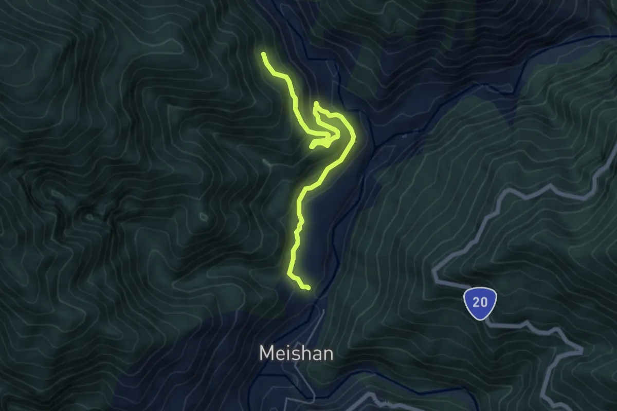
Medium · Trail
梅蘭林道
7.3 km · ↑ 378 m · 2 h 33 min
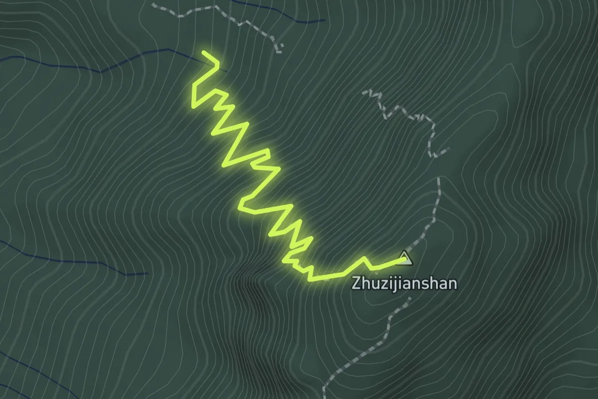
Medium · Summit
梅龍步道
3.3 km · ↑ 451 m · 1 h 45 min
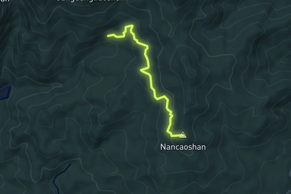
Easy · Summit
楊廷理古道
5.1 km · ↑ 306 m · 1 h 51 min
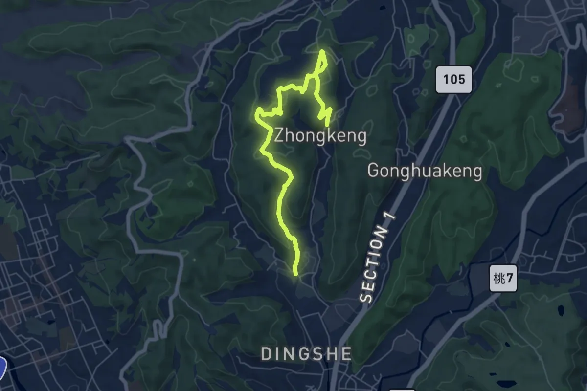
Medium · Trail
楓樹坑步道
8.4 km · ↑ 288 m · 2 h 37 min
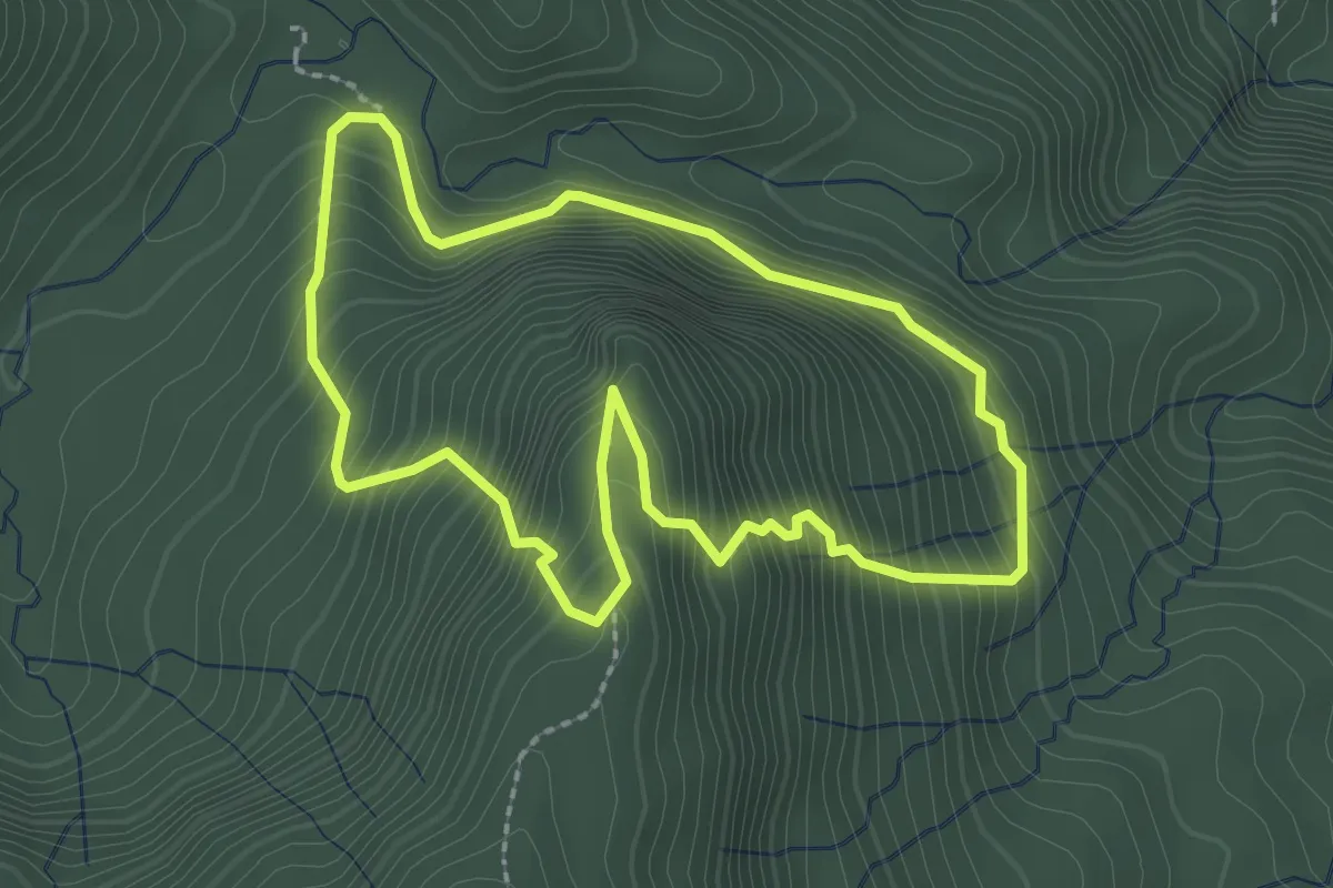
Medium · Trail
榛山步道
2.9 km · ↑ 359 m · 1 h 31 min
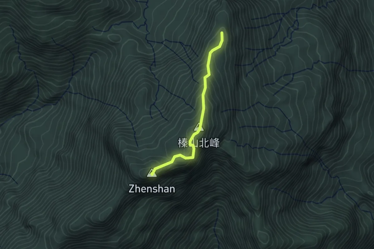
Easy · Summit
榛山登山路線
3.4 km · ↑ 268 m · 1 h 23 min
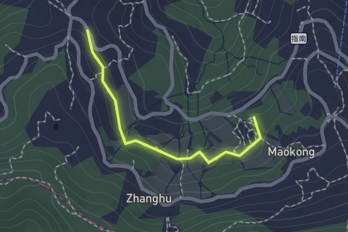
Easy · Summit
樟樹步道
1.9 km · ↑ 56 m · 34 min
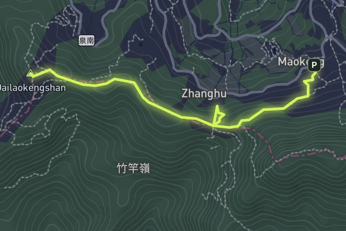
Easy · Summit
樟湖步道
3.7 km · ↑ 151 m · 1 h 12 min
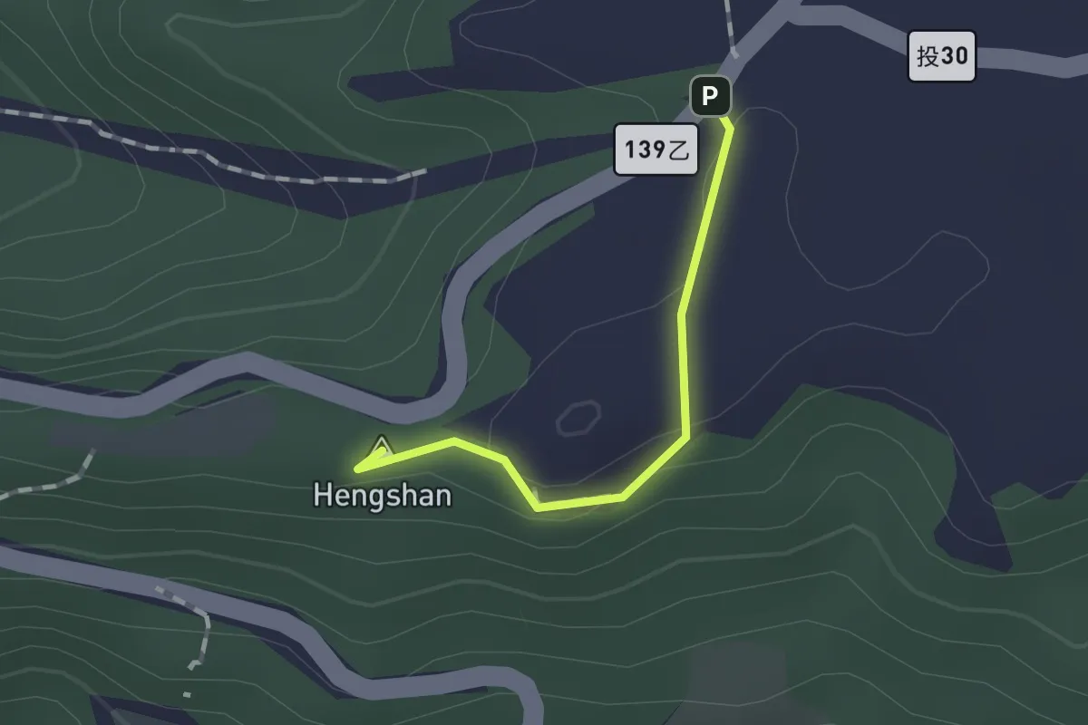
Easy · Summit
橫山觀日步道
1.3 km · ↑ 40 m · 23 min
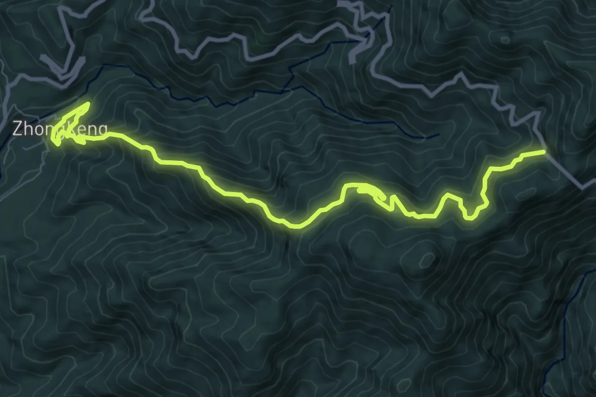
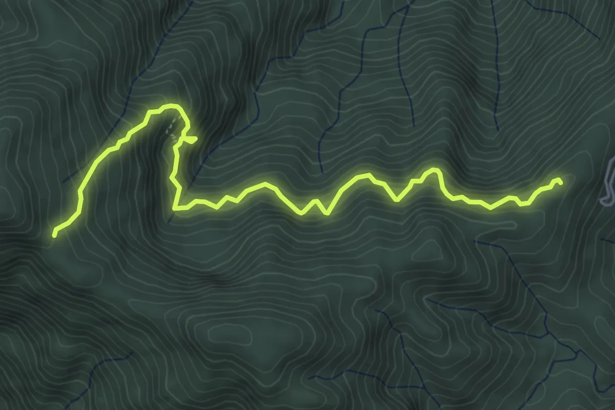
Demanding · Trail
橫嶺山自然步道
13.5 km · ↑ 1267 m · 5 h 56 min
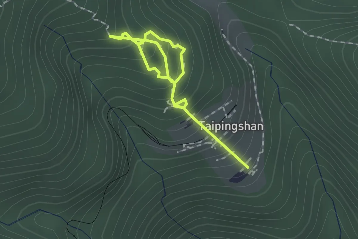
Demanding · Trail
檜山巨木群步道
7.7 km · ↑ 889 m · 3 h 44 min
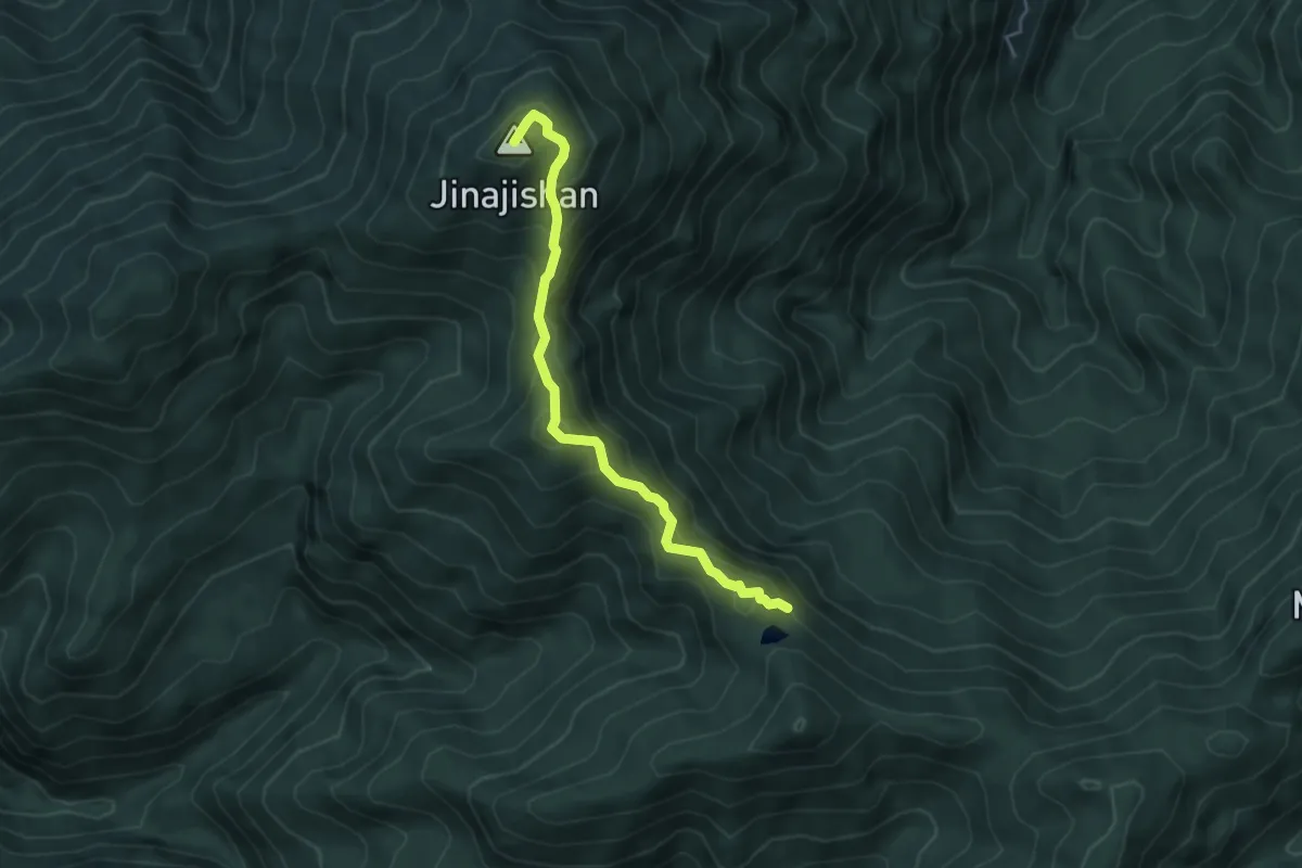
Easy · Trail
檜木原始林步道
2.3 km · ↑ 208 m · 1 h
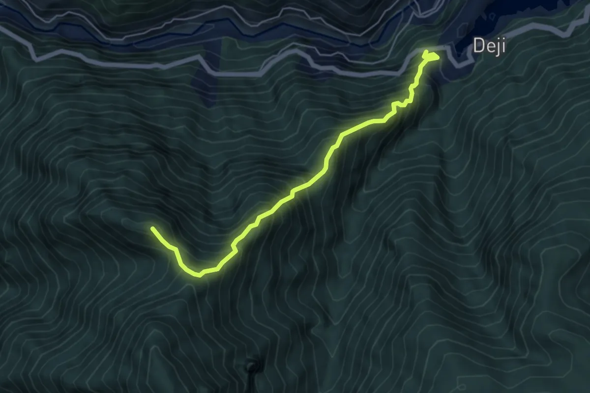
Medium · Summit
毒龍潭路線
5.3 km · ↑ 530 m · 2 h 24 min
Demanding · Summit
比壽潭山步道
6.3 km · ↑ 1153 m · 3 h 59 min
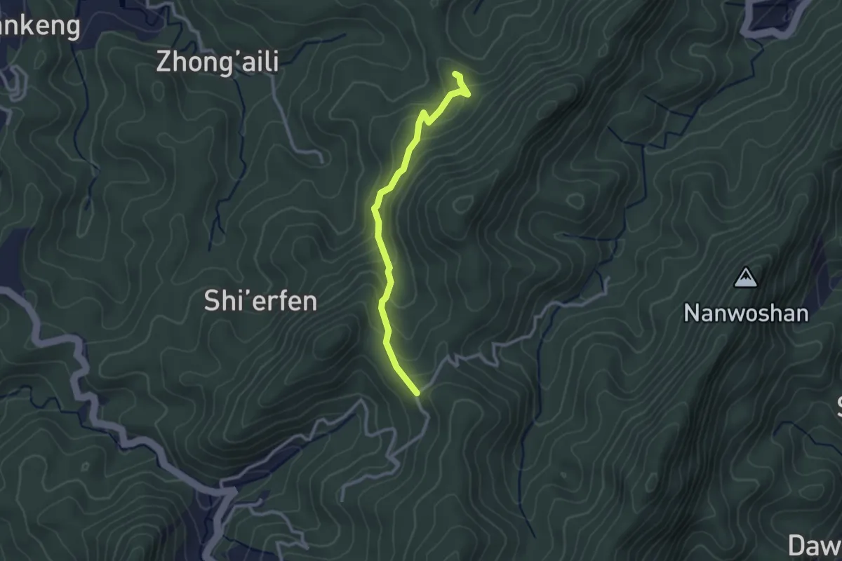
Easy · Summit
水寨下古道
3.2 km · ↑ 210 m · 1 h 12 min
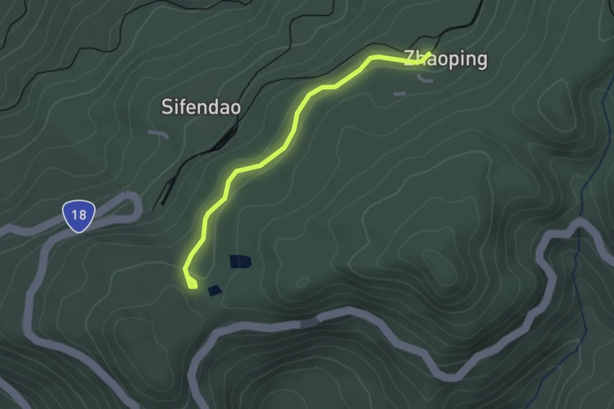
Easy · Trail
水山步道
3.1 km · ↑ 58 m · 51 min
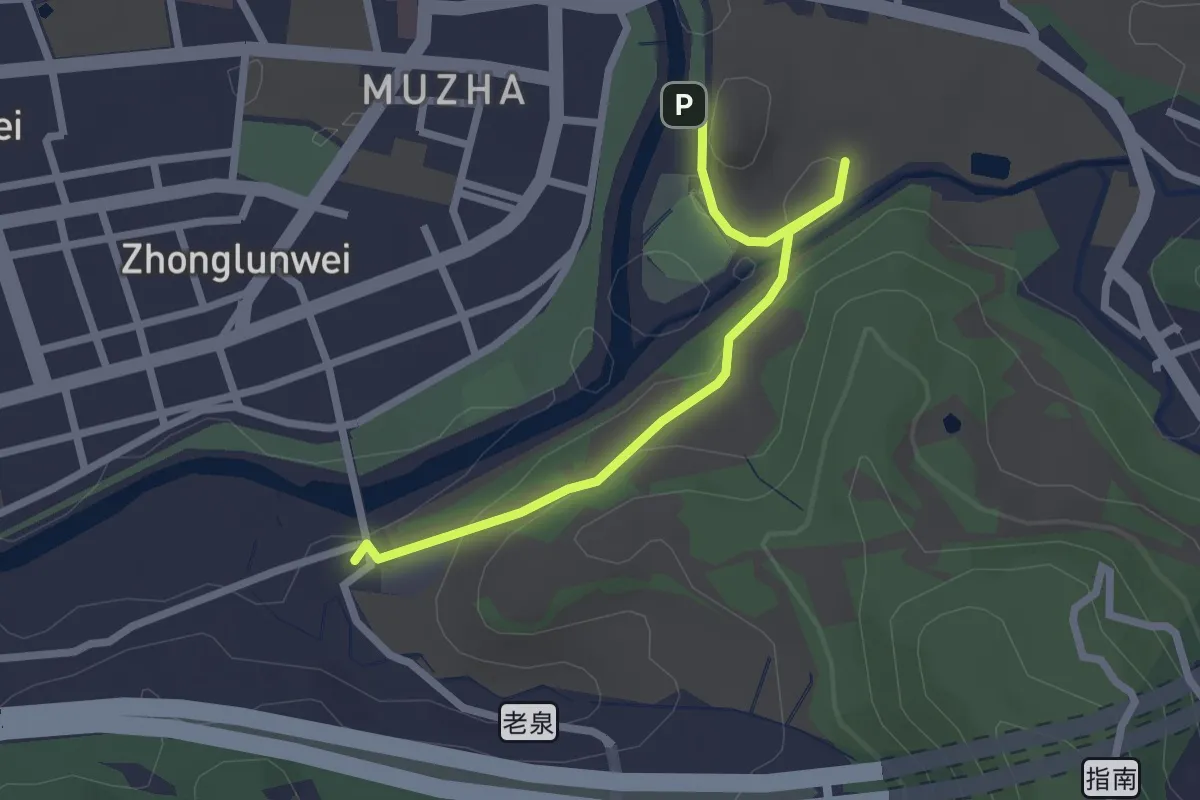
Easy · Summit
水岸步道
3.3 km · ↑ 115 m · 1 h 1 min
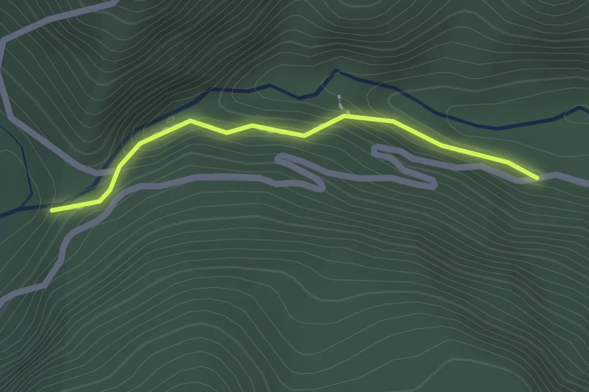
Easy · Trail
水母丁溪溪谷步道
2.0 km · ↑ 124 m · 45 min
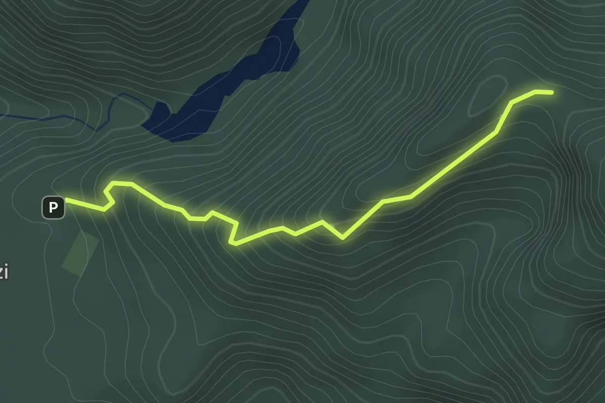
Easy · Trail
水沙漣古道
2.4 km · ↑ 260 m · 1 h 7 min
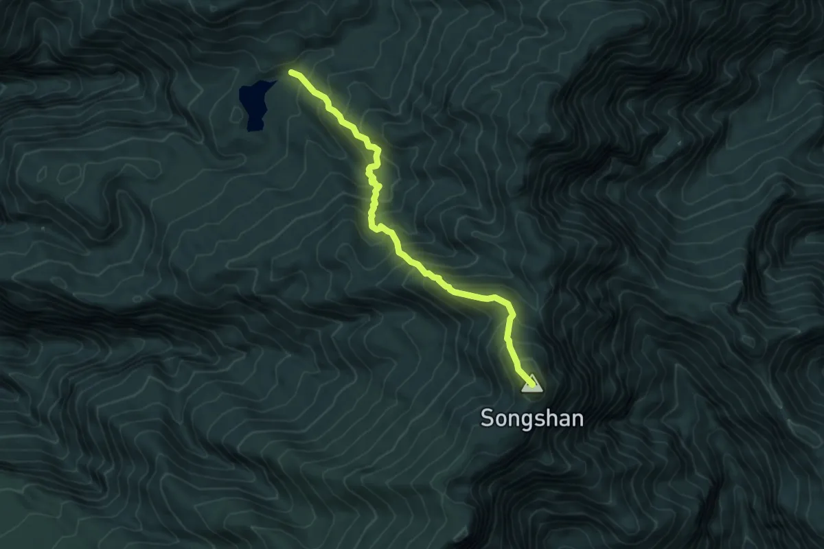
Demanding · Summit
水漾松山步道
7.2 km · ↑ 870 m · 3 h 35 min
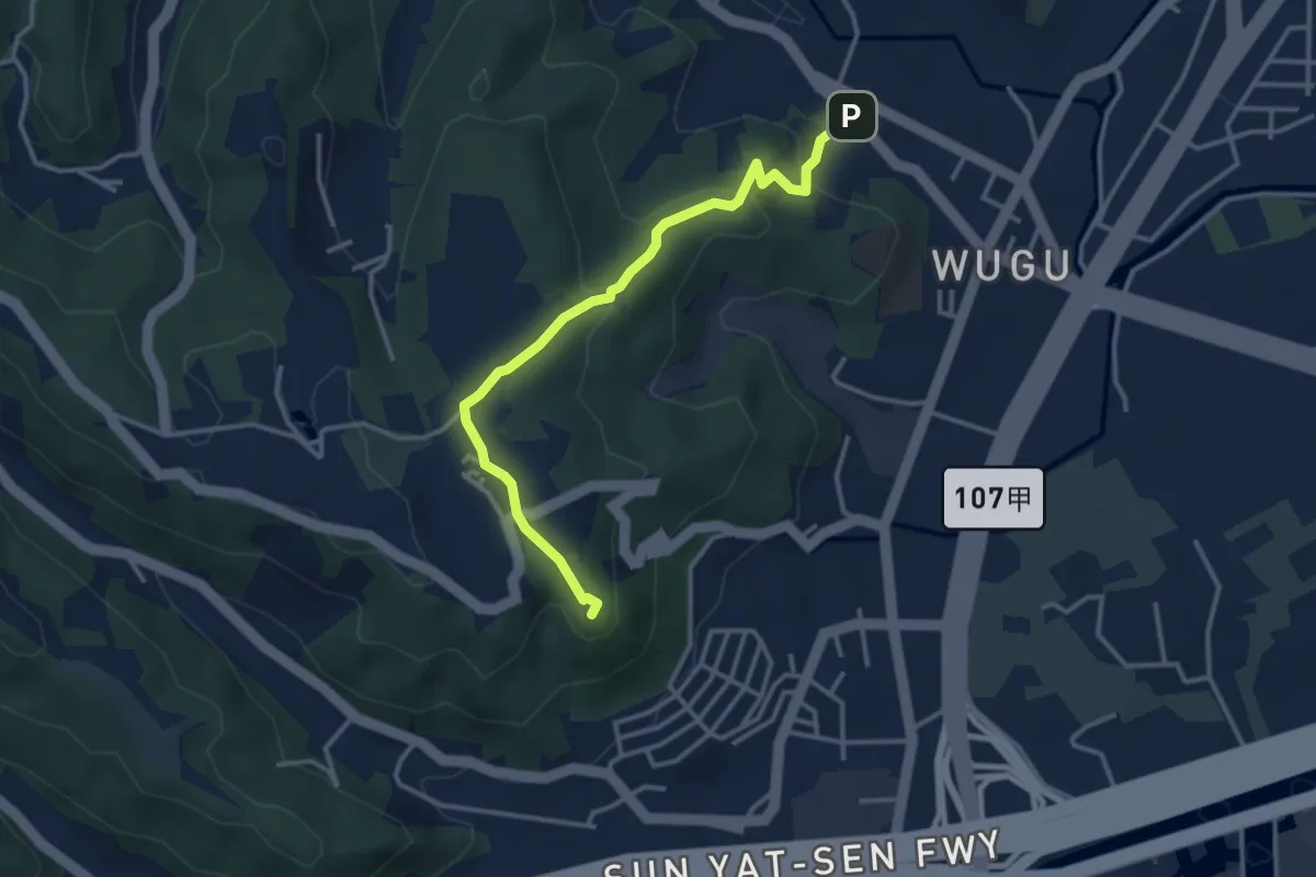
Medium · Summit
水碓公園龍鳳巖登山步道
4.5 km · ↑ 185 m · 1 h 28 min
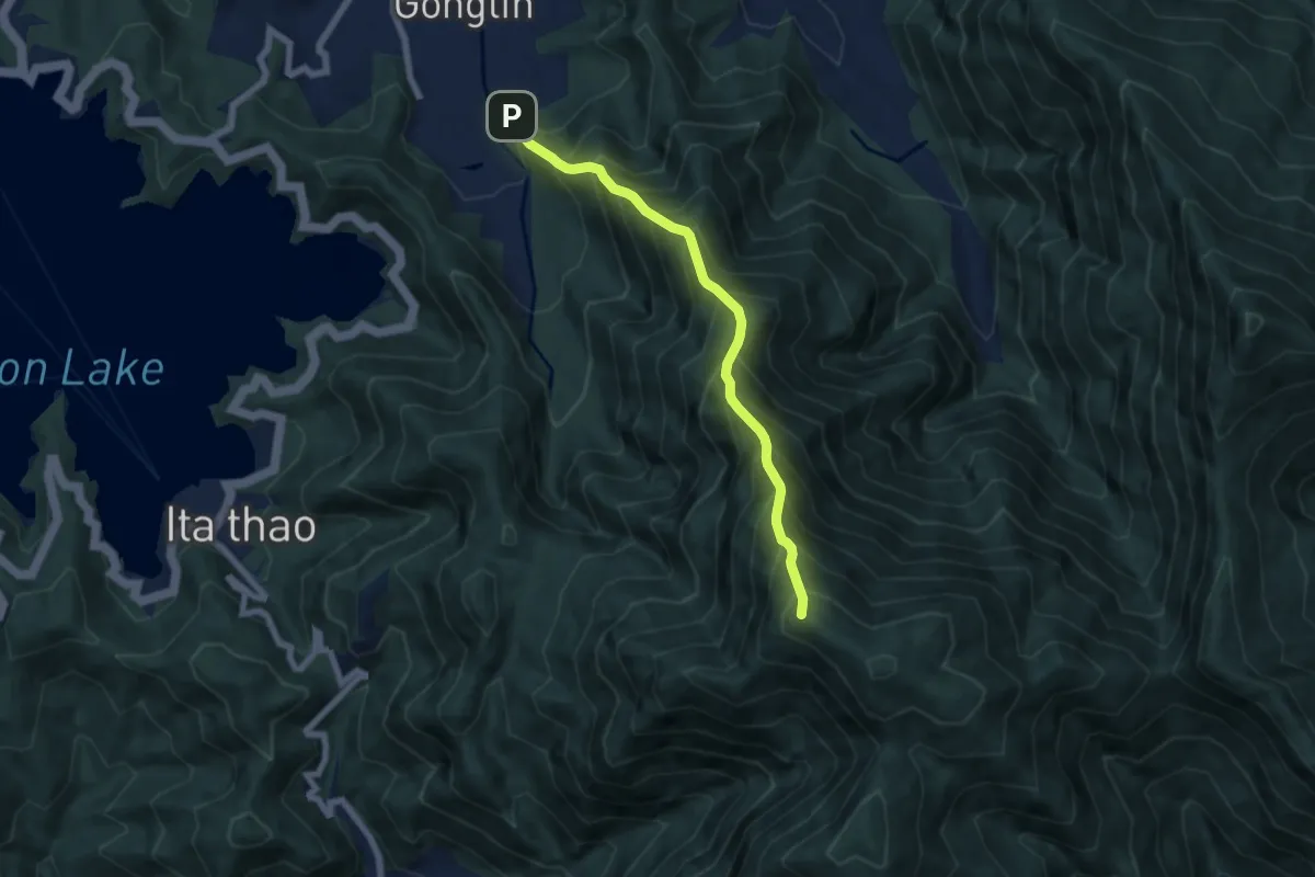
Demanding · Summit
水社大山北稜線
8.1 km · ↑ 1287 m · 4 h 41 min